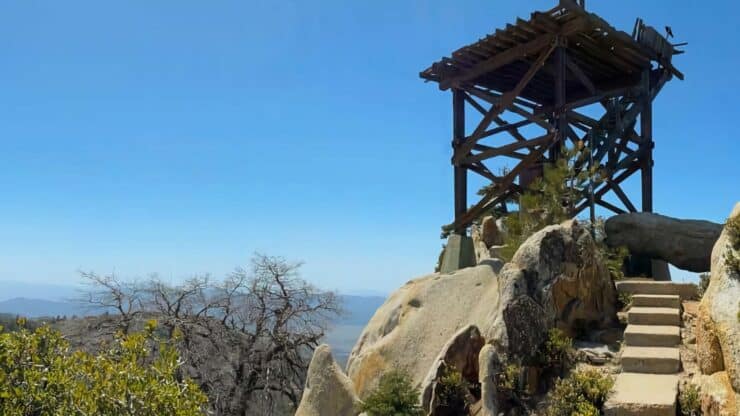

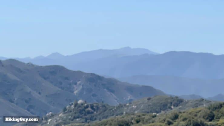
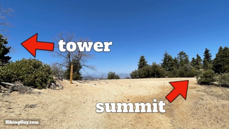
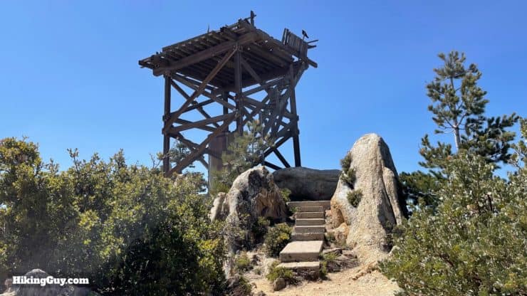
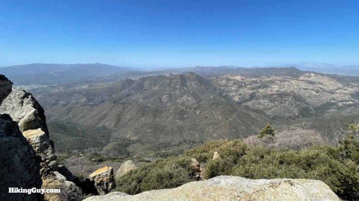
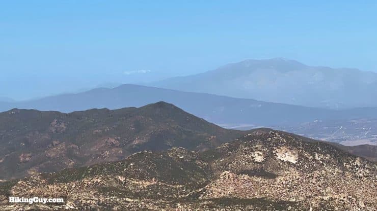
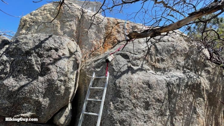
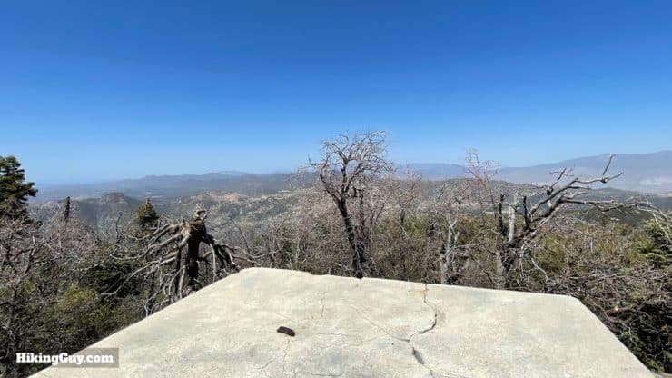
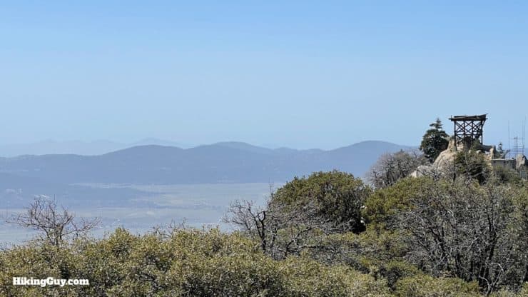
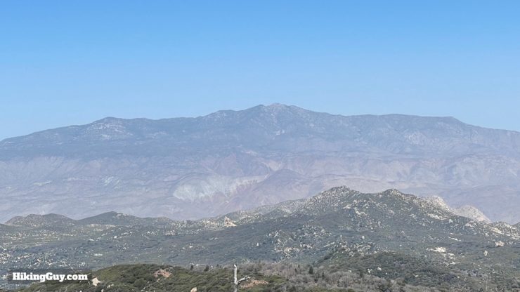
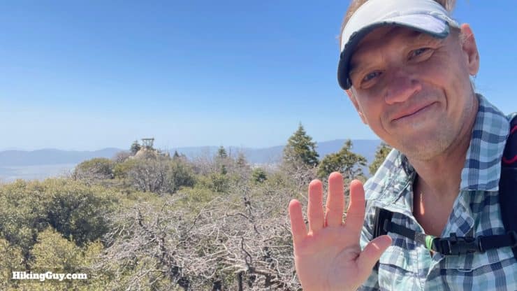
Hot Springs Mountain, the highest point in San Diego County at 6,535 feet, would be worth hiking just for that fact, but there's so much more to enjoy. After a tough initial climb, the trail is peaceful and scenic as it winds through conifers, giving the feel of a higher alpine area. And at the summit, you get to visit the oldest standing fire tower serving Cleveland National Forest, dating to 1942, and then enjoy a ladder climb up to the actual summit. It's a fun and beautiful hike that's tough but not too tough.
- Video and Turn-by-Turn Directions to Hike Hot Springs Mountain Trail
- Getting to the Los Coyotes Reservation
- Tips and Recommendations for the Hike
Where is the Hot Springs Mountain Trail?
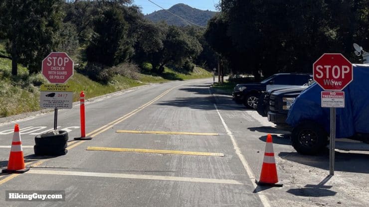
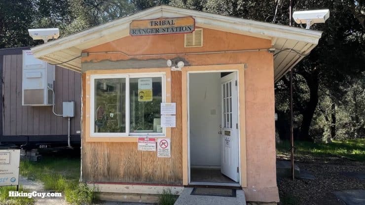
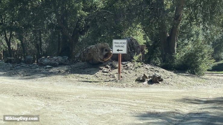
This hike is on the Los Coyotes Reservation, a remote and peaceful part of eastern San Diego County. The reservation allows hikers, but the hours can vary. And there is a $10 per person, cash only, charge to enter. Please check the Los Coyotes Reservation website before leaving to confirm the current details. And please be respectful when visiting. Use this trailhead address:
Los Coyotes Reservation Campground, Camino San Ignacio Road, Warner Springs, CA, 92086

Gear For the Hike
- You'll be in a remote spot, so proper hiking gear with the essentials is a must.
- Trekking poles will help on the steep slopes.
- Bring at least 2L of water.
Gear That I Love Right Now
Nothing is sponsored or promoted, just the actual gear that I use.


Check out the complete list here. ( Updated July 2024)
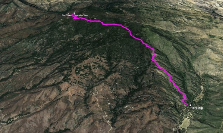
Hot Springs Mountain Trail Maps
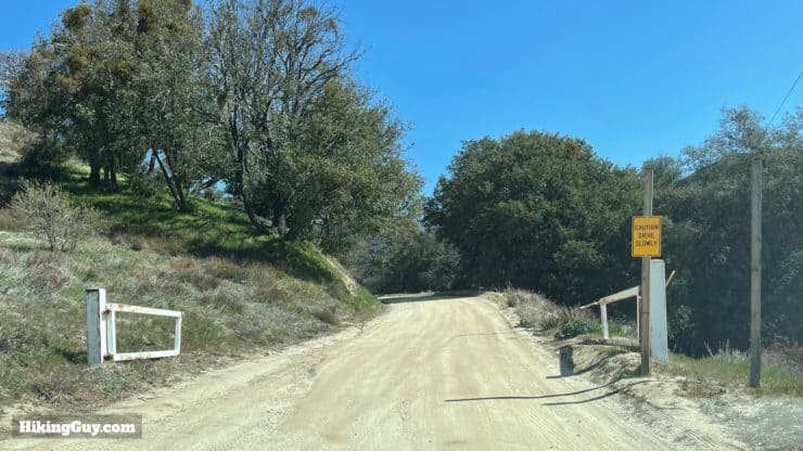
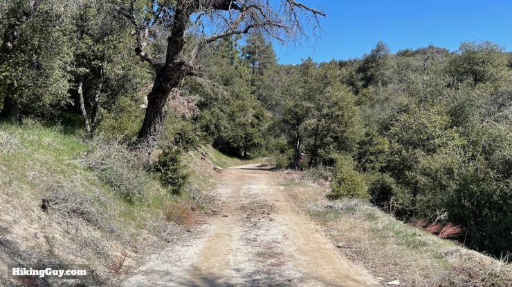
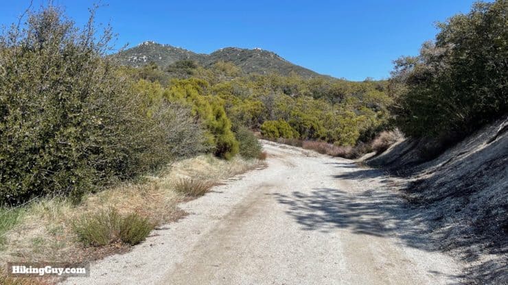
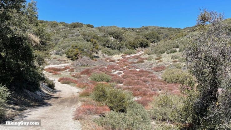
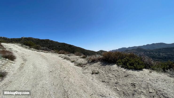
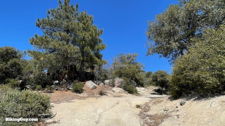
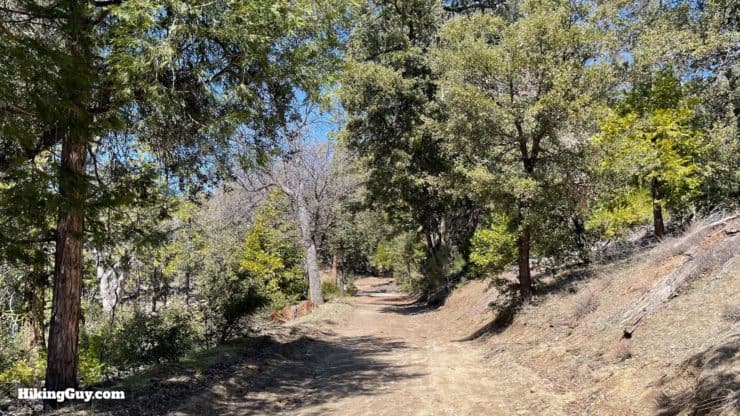
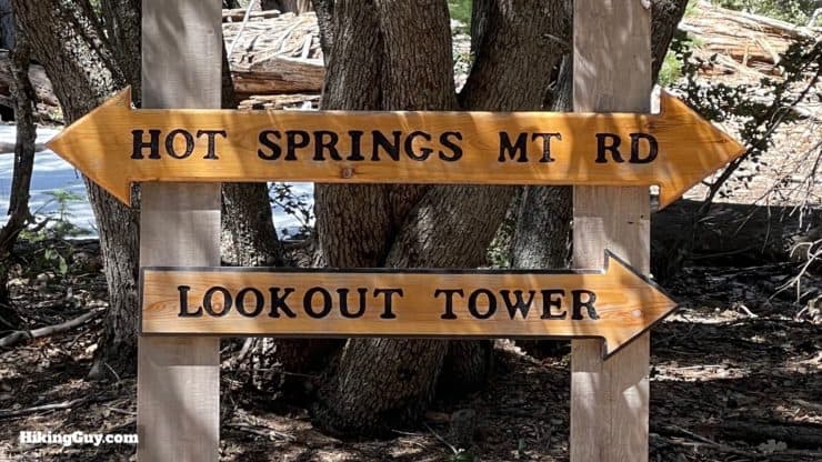
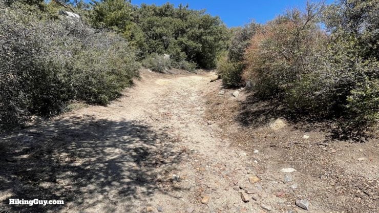
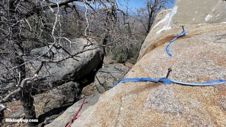
The hike to the summit is on old fire roads, but don't let that put you off; the hike is beautiful. Overall it's easy to follow and pleasurable.
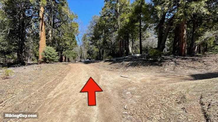
Some trip reports follow other routes to the top. The course described here is the official one that the ranger office requested that all visitors take. Please be respectful.
How Will You Navigate?
 Using the Apple Watch for Hiking
 Garmin Fenix 7 & Epix Review For Hikers
 How To Read a Topographic Map
 Garmin GPSMAP 67i Review
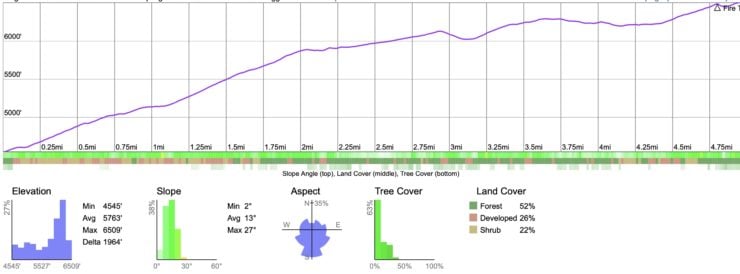
Elevation Profile
3D Map
Hike Brief
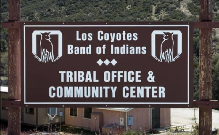
- The official name of the Los Coyotes Band is the Los Coyotes Band of Cahuilla and Cupeño Indians.
- The Cahuilla once lived in an area that stretched from San Gorgonio to the Salton Sea. In 1875 most were relocated to a reservation near Anza.
- The Cupeño, a much smaller tribe, lived in the area around Warner Springs. Their removal from their land in 1903 was the last "official" eviction of natives by the US government. Most Cupeño were sent to Pala.
- Today a small number from each tribe live together in the Los Coyotes Band on this reservation.
- Because of its remote location and environmental significance, there isn't much opportunity for development at the reservation. The band is supported by proceeds from other casinos, and is in the process of building their own casino near Barstow. Today the band generates a modest income from hikers, campers, and even music festivals.
- Before their way of life was destroyed by the Americans, most of the local native people would summer up around Hot Springs Mountain, harvesting acorns for the winter spent back down at lower altitudes.
- The reservation sits in the middle of Cleveland National Forest, and was still a part of it until 1914, when the land was officially transferred to the Los Coyotes Reservation.
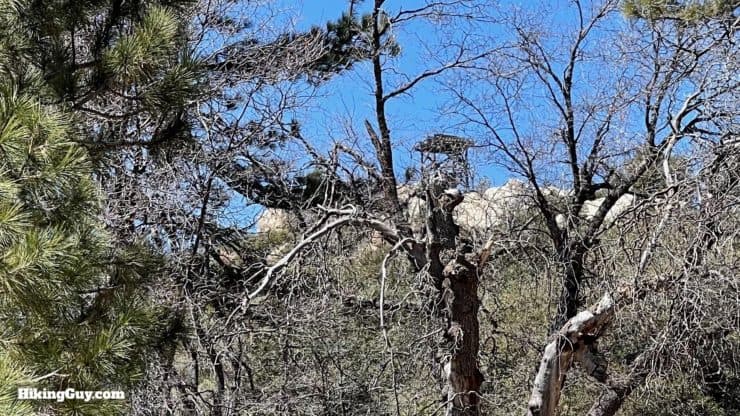
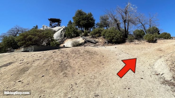
- The fire tower on Hot Springs Mountain dates from 1942, and is the oldest standing fire tower serving Cleveland National Forest. It's in bad shape today and falling apart.
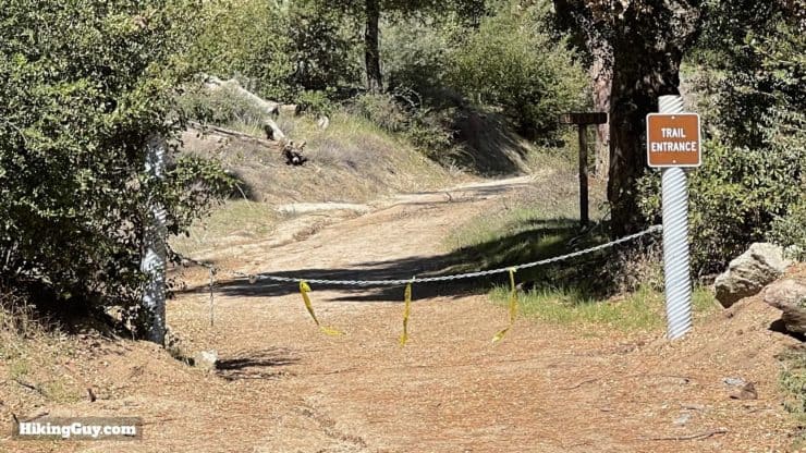
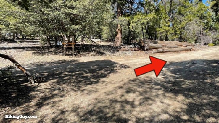
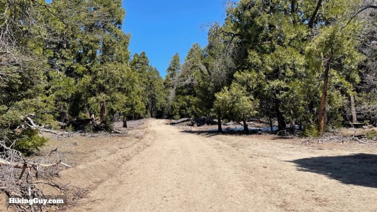
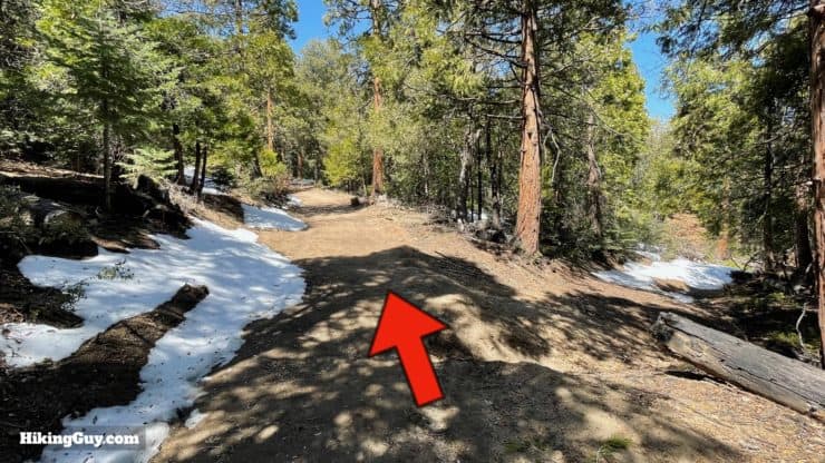
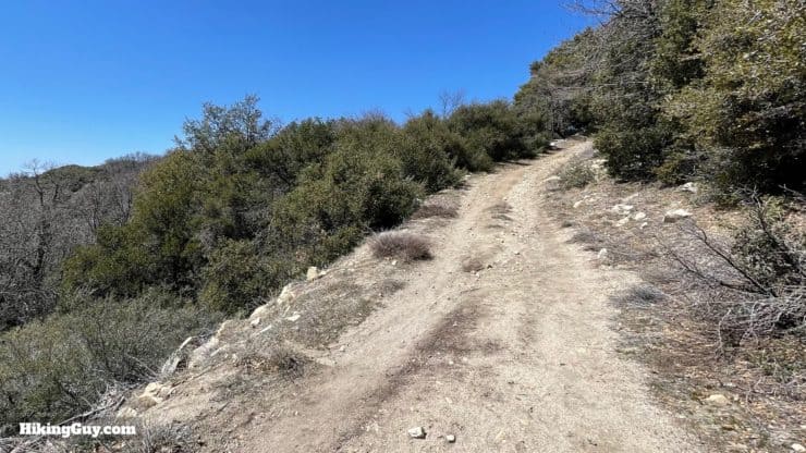
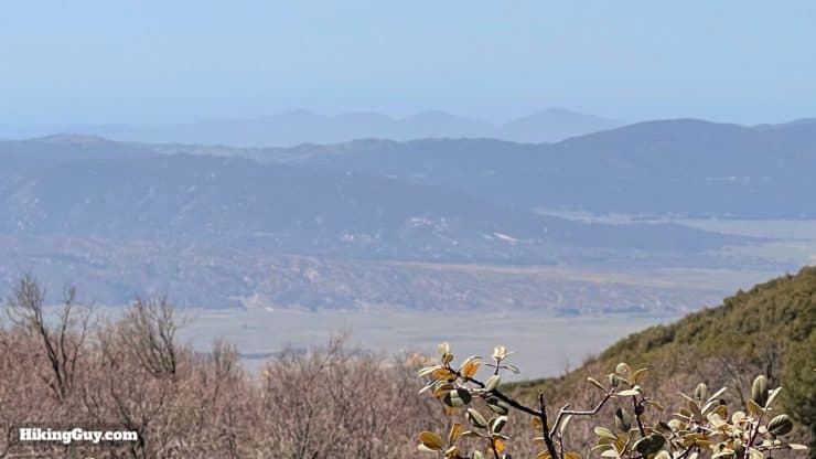
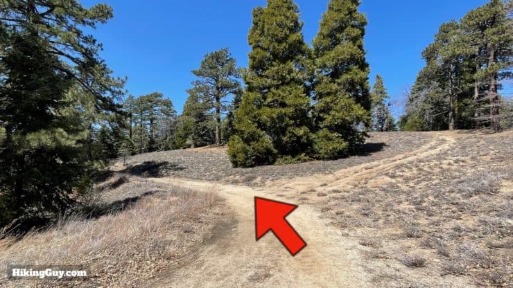
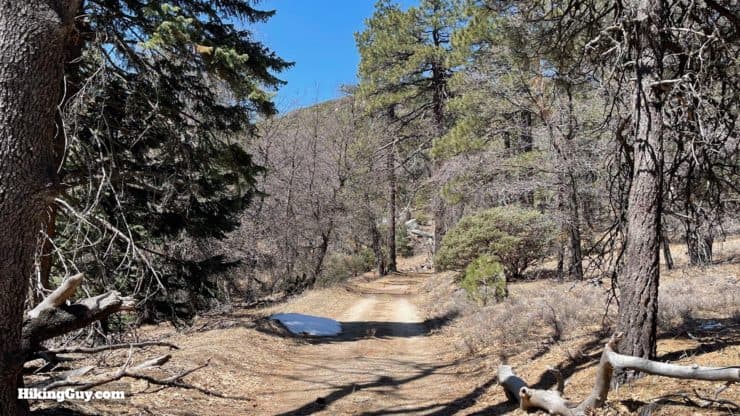
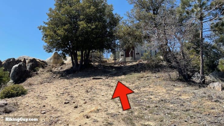
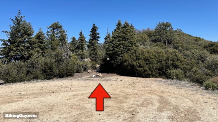
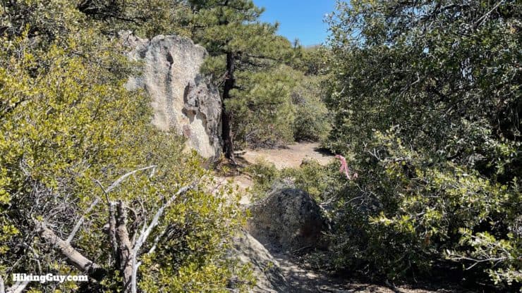
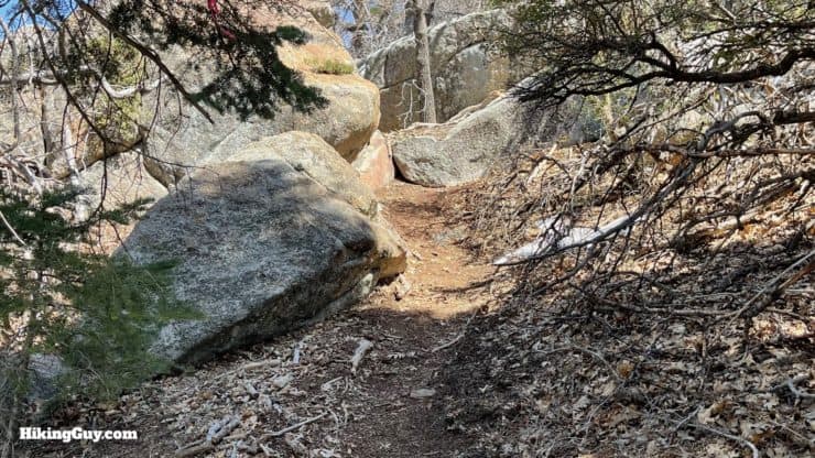
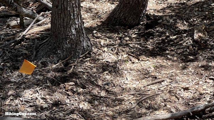
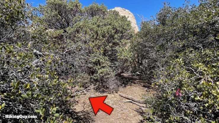
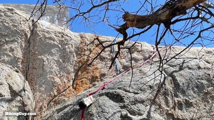
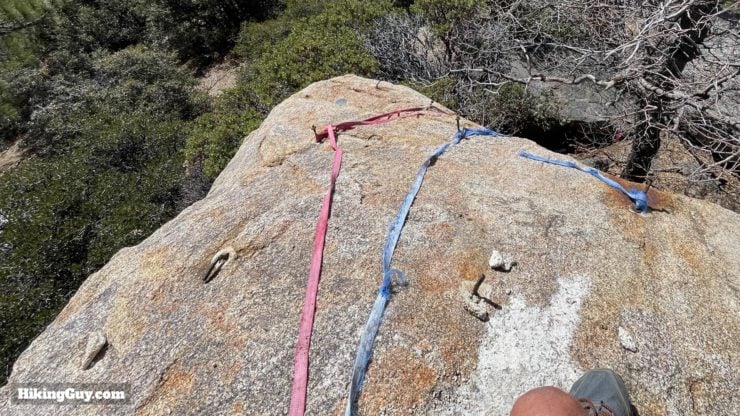
Hot Springs Mountain Hike Directions
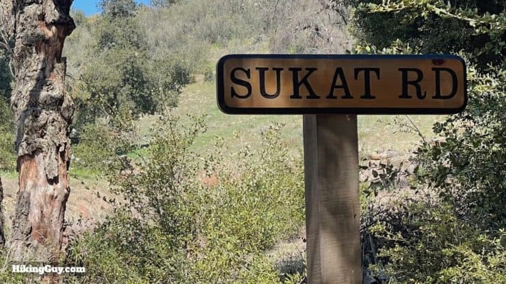
Sukat is the Cahuilla word for deer.
Need More Info?
- Have a question about the guide? Join my Patreon and ask me a question.
- When planning, always check the park website and social media to make sure the trails are open. Similarly, check the weather and road conditions.
- Do you have an update to this guide? View the Youtube comments for this video. Leave a comment and I will do my best to update the guide.
Related Guides
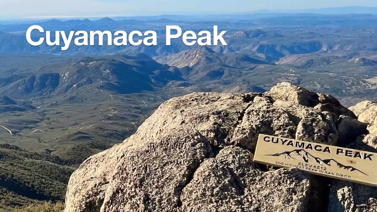 Hike Cuyamaca Peak
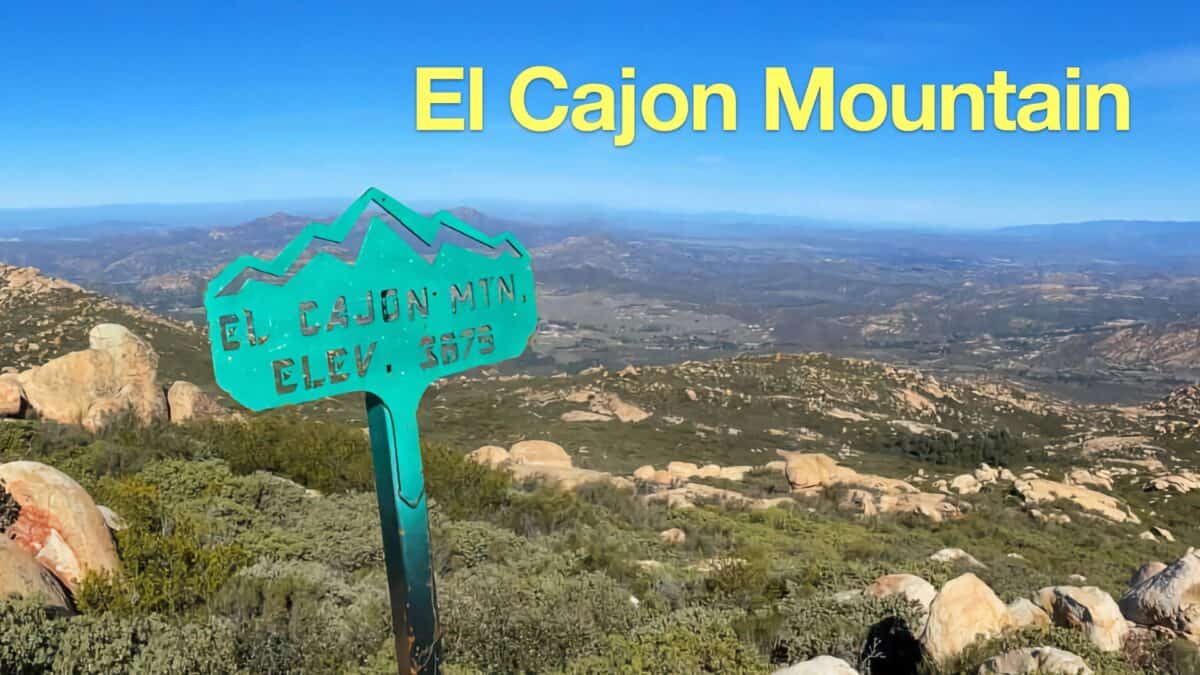 El Cajon Mountain Trail Guide
 Big Laguna Trail - Best of Loop
 Hiking San Diego
 Fire Tower Hikes
 Sierra Club 100 Peaks
Popular Guides
 Best Hiking Gear 2024
 Hiking Boots or Shoes: Do I Really Need Hiking Boots?
 When to Hit SOS on inReach
This Guide Was Written by Cris Hazzard

Hi, I'm Cris Hazzard, aka Hiking Guy, a professional outdoors guide, hiking expert, and author based in Southern California. I created this website to share all the great hikes I do with everyone else out there. This site is different because it gives detailed directions that even the beginning hiker can follow. I also share what hiking gear works and doesn't so you don't waste money. I don't do sponsored or promoted content; I share only the gear recommendations, hikes, and tips that I would with my family and friends. If you like the website and YouTube channel, please support these free guides (I couldn't do it without folks like you!). You can stay up to date with my new guides by following me on YouTube, Instagram, or by subscribing to my monthly newsletter.