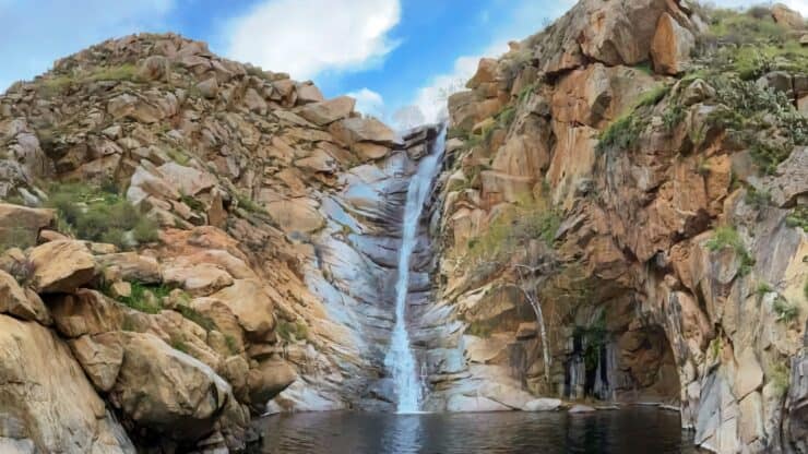

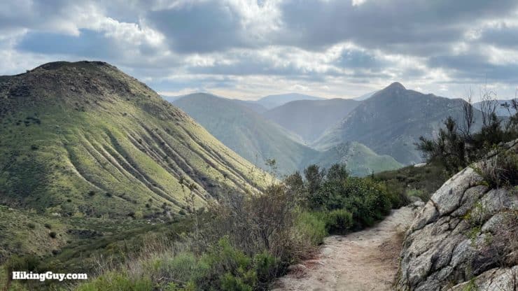
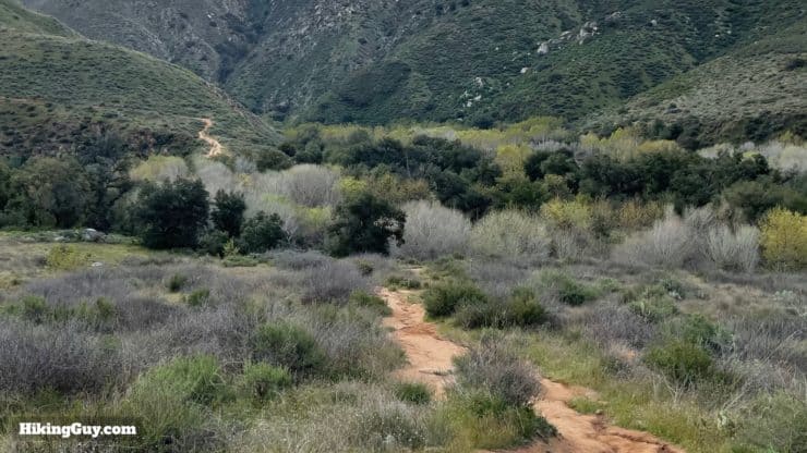
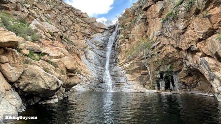
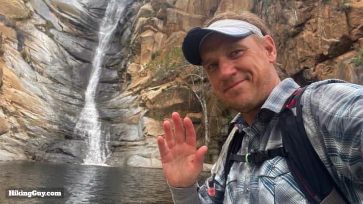
Cedar Creek Falls Trail is one of San Diego's most popular hikes. The trail offers epic views of the San Diego River Gorge before you arrive at Cedar Creek Falls, almost the perfect waterfall, plunging 80 feet down into a bowl-shaped pool of clear water. It's such a popular hike that you need a permit to do it. The extra work is worth it though, the experience is magical, but you need to avoid the crowds if you can. In this guide I'll tell you everything you need to know to make the best of this hike.
- Video and Turn-by-Turn Directions for the Cedar Creek Falls Trail
- How to Get a Cedar Creek Falls Trail permit
- How to Get to Cedar Creek Falls Trail
- Insider Tips and Recommendations for the Hike
Where is Cedar Creek Falls?
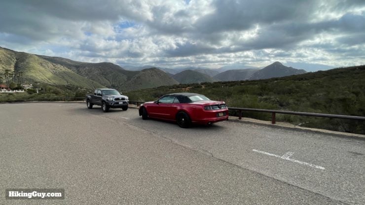
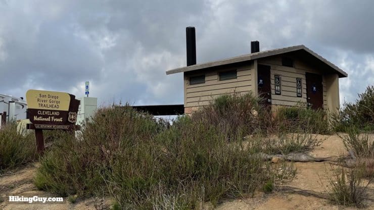
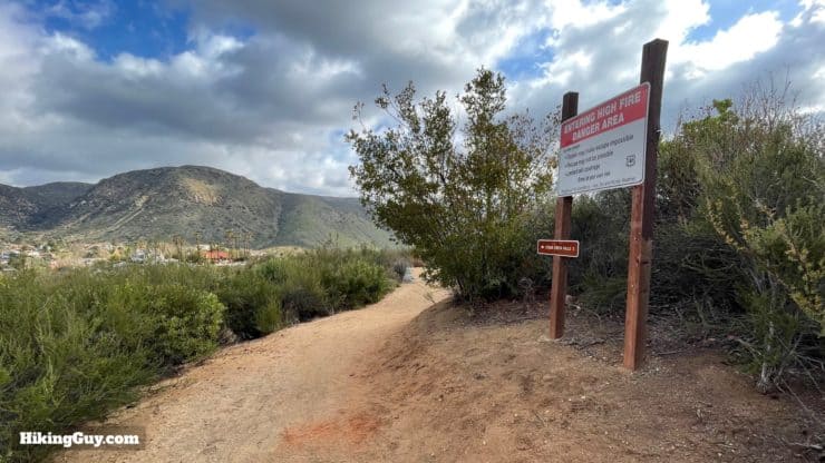
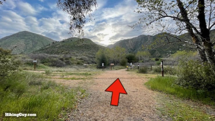
There are a couple of routes to Cedar Creek Falls, and this guide outlines the most popular route from Ramona. The drive to the trailhead can be confusing; you'll drive through a residential neighborhood that looks like it just dead-ends into a cul-de-sac. Keep going and you'll find the San Diego River Gorge trailhead at the end. Use this trailhead address:
15519 Thornbush Rd, Ramona, CA 92065

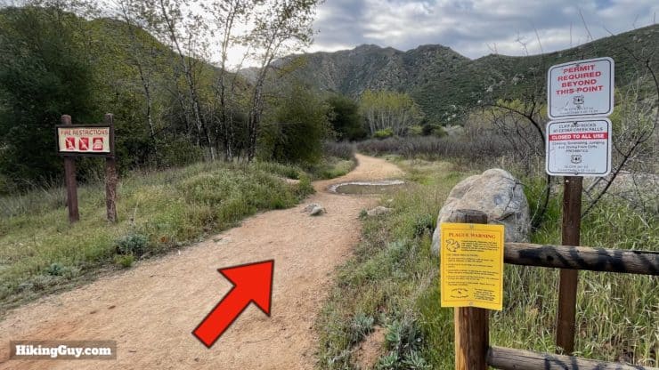
How to get a Permit for Cedar Creek Falls
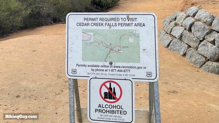
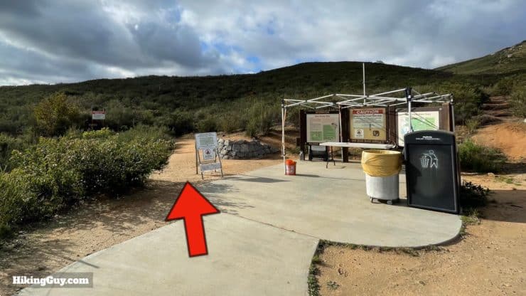
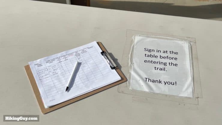
Getting a permit for the hike is relatively easy, visit the trail page on Recreation.gov, select your date and group size, and pay. As you might expect, weekends can fill up and weekdays are usually wide opens. Every day they let 75 groups in, and groups can have up to 5 people in them. Volunteers or rangers will generally check permits at the trailhead, or at the falls.
It's recommended that you print the permit and bring that with you. People who can't pull it up on their phone (battery dies, etc.) will get a citation. Bring a photo ID as well.
And you might be asking, why a permit? The hike was always popular, and there are postcards of the spot dating to early 1900s. The area made a resurgence in the 2000s. Lots of people came, they weren't respectful at the trailhead, trashed the trail, and partied at the falls. After a person died jumping off the falls, the area was closed. Today the trail is rebuilt and the permit system keeps access in check. I wouldn't be surprised if more trails go in this direction as hiking becomes more popular.
When to Hike to Cedar Creek Falls
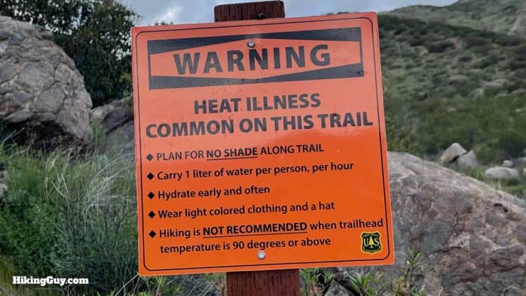
When you're deciding on a time to visit, know that the falls are typically dry by the end of the summer, the pool dries up, and the heat is oppressive. The sweet spot is winter and spring when the hills are green, temperatures are reasonable, water is flowing, and the pool is full. Unless you leave before dawn, expect to share the falls with other groups of people who may be loud.
When the temperatures are extreme, the Forest Service can close the trail down. They also recommend not doing the hike if the forecast is over 90F.
Gear For the Hike
If you have hiking gear, it will be helpful on the Cedar Creek Falls Trail. The second best would be fitness clothes. Here's what I would recommend.
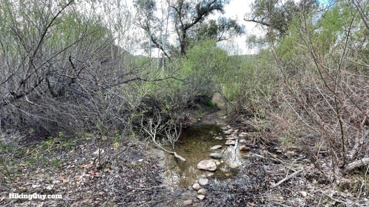
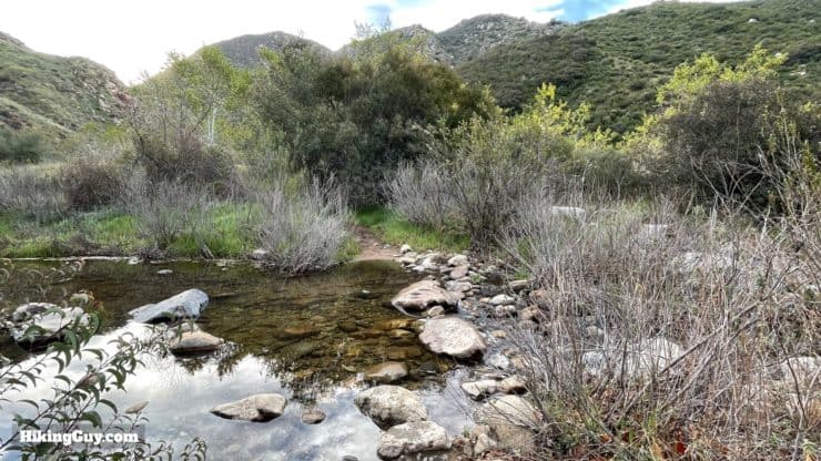
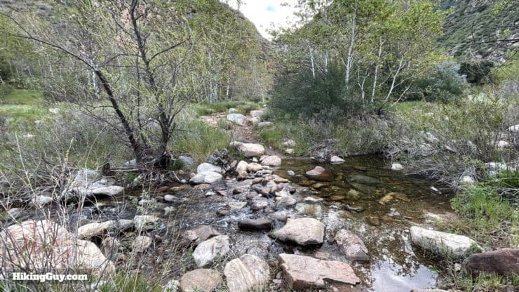
- Trekking poles will help cross the streams.
- Sometimes when the water is really flowing, the stream crossings can be up to your knees.. But most of the time you can just hop across the rocks. I wear breathable trail runners that can get wet and then dry quickly.
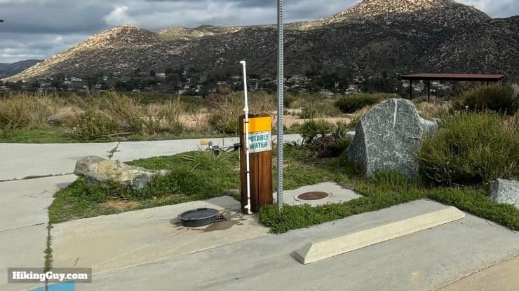
- You'll want at least 1L of water, and if it's hot, 2L.
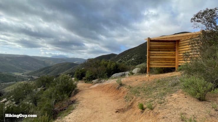
- The hike is mainly exposed. You need sun protection.
Gear That I Love Right Now
Nothing is sponsored or promoted, just the actual gear that I use.


Check out the complete list here. ( Updated July 2024)
Cedar Creek Falls Trail Maps
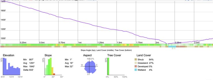
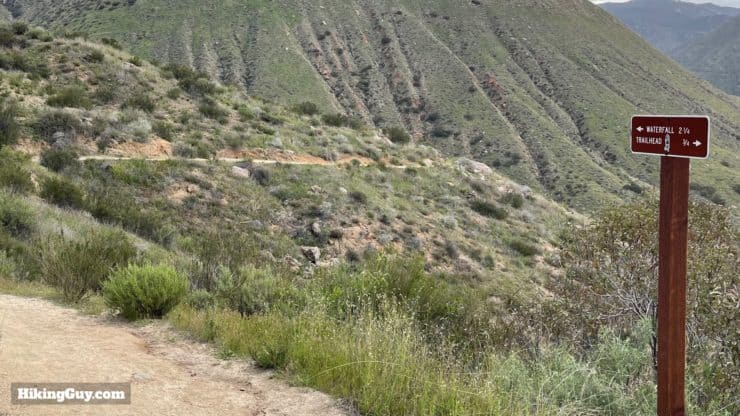
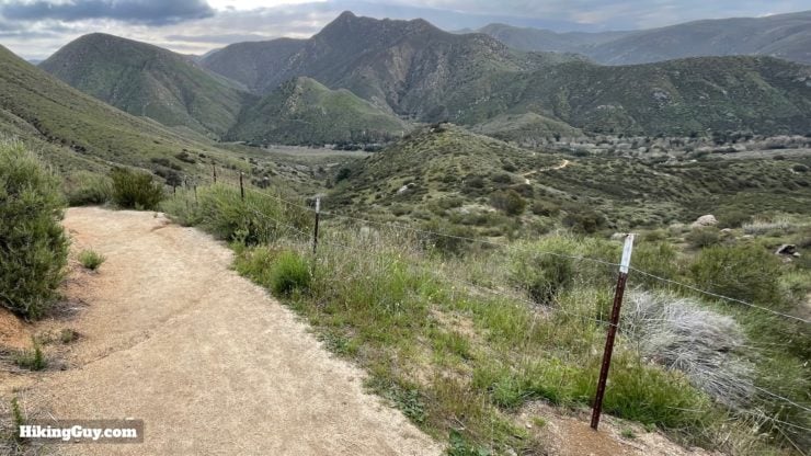
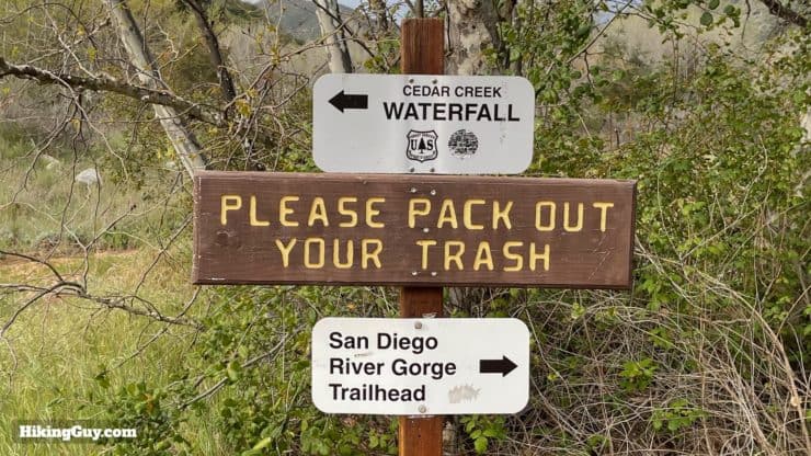
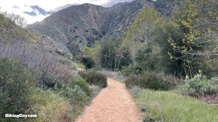
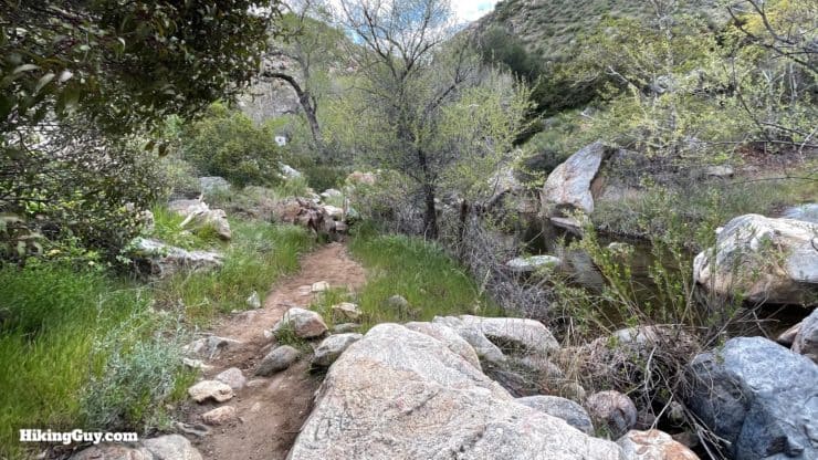
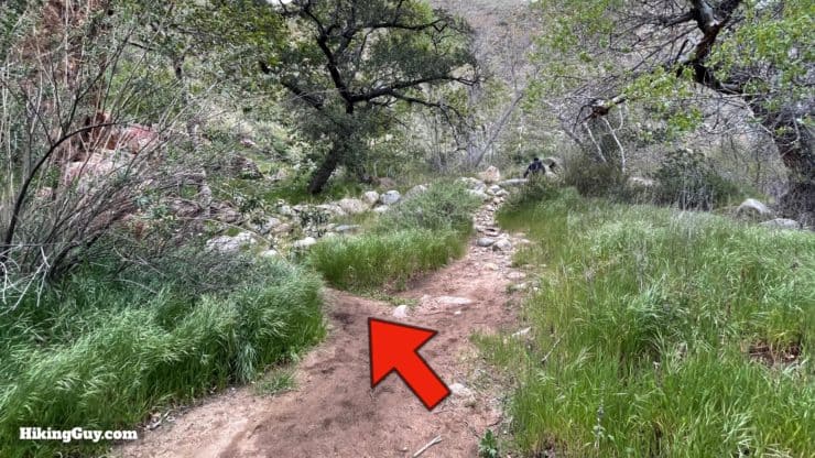
Being a popular and permit-accessed route, the Cedar Creek Falls Trail is straightforward to follow and navigate. There are plenty of signs letting you know where you are. The biggest challenge is that the hike to the falls is downhill, and you have to climb about 1100 feet on your way out.
How Will You Navigate?
 Using the Apple Watch for Hiking
 Garmin Fenix 7 & Epix Review For Hikers
 How To Read a Topographic Map
 Garmin GPSMAP 67i Review
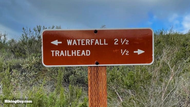
Elevation Profile
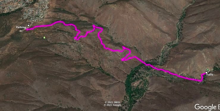
3D Map
Cedar Creek Falls Hike Directions
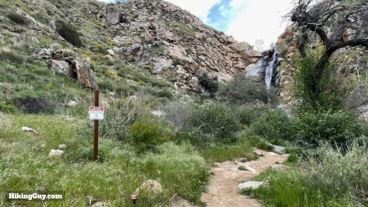
When you're at the falls, you are allowed to swim, but you aren't allowed to climb up the sides, jump off the cliff, or drink alcohol. Please be respectful of the area and your fellow hikers. People came here to enjoy the natural beauty, not to hear other people play their music or talk loudly.
Need More Info?
- Have a question about the guide? Join my Patreon and ask me a question.
- When planning, always check the park website and social media to make sure the trails are open. Similarly, check the weather and road conditions.
- Do you have an update to this guide? View the Youtube comments for this video. Leave a comment and I will do my best to update the guide.
Related Guides
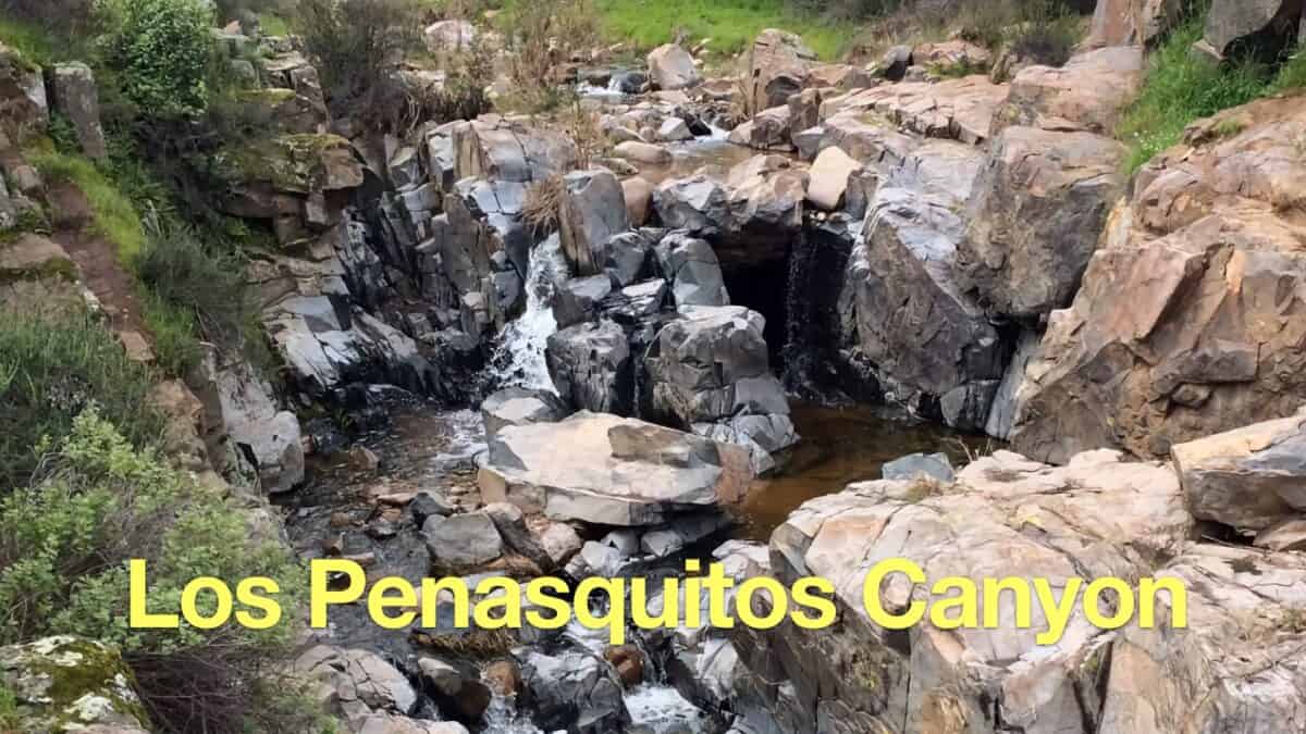 Los Penasquitos Canyon Trail Guide
 Tenaja Falls Trail Guide
 Eagle Rock Hike on the PCT (San Diego)
 South Clevenger Trail Guide
 Hike Three Sisters Falls & Eagle Peak
 Hiking San Diego
 Cleveland National Forest Hiking
Popular Guides
 Best Hiking Gear 2024
 Hiking Boots or Shoes: Do I Really Need Hiking Boots?
 When to Hit SOS on inReach
This Guide Was Written by Cris Hazzard

Hi, I'm Cris Hazzard, aka Hiking Guy, a professional outdoors guide, hiking expert, and author based in Southern California. I created this website to share all the great hikes I do with everyone else out there. This site is different because it gives detailed directions that even the beginning hiker can follow. I also share what hiking gear works and doesn't so you don't waste money. I don't do sponsored or promoted content; I share only the gear recommendations, hikes, and tips that I would with my family and friends. If you like the website and YouTube channel, please support these free guides (I couldn't do it without folks like you!). You can stay up to date with my new guides by following me on YouTube, Instagram, or by subscribing to my monthly newsletter.