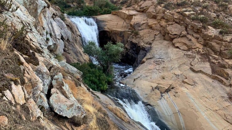

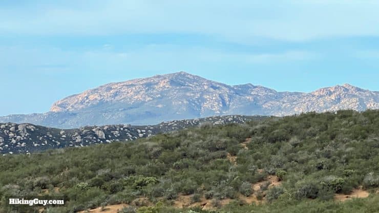
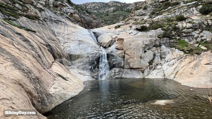
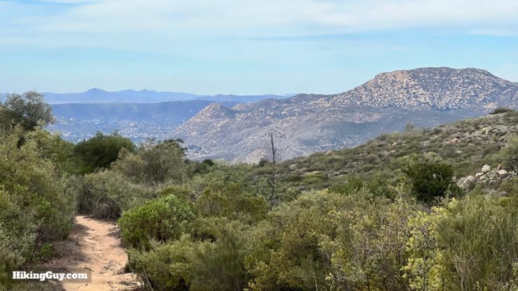
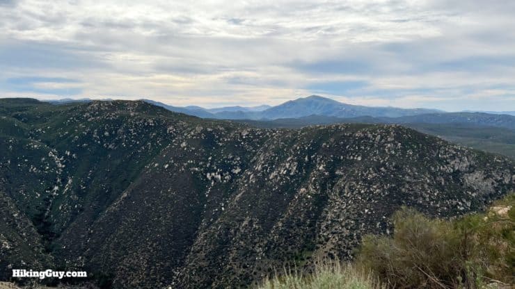
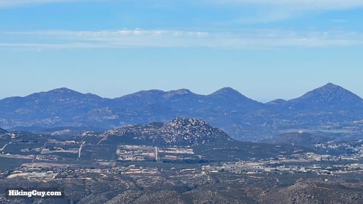
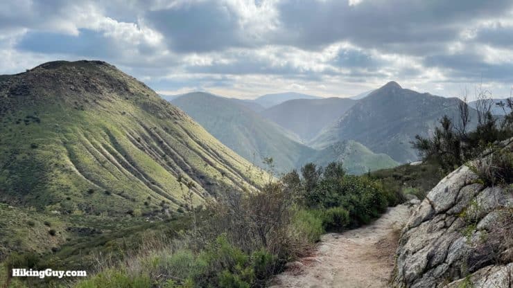
Tucked away in a hidden canyon within Cleveland National Forest, the hike to Three Sisters Falls is remote, spectacular, and fun. Boulder Creek cascades down three smooth granite levels, the "three sisters," and leaves fresh pools where you can swim, dip your feet in, or just enjoy the vibe. I've also included an optional hike extension to Eagle Peak, a stunning summit that dominates the landscape around the area, including the San Diego River valley.
- Video and Turn-by-Turn Directions to Hike Three Sisters Falls
- How to Get to the Trailhead
- Insider Tips & Recommendations for the Hike
The best time to visit is in the winter or after it rains. Three Sisters Falls can be dry.
Where is Three Sisters Falls?
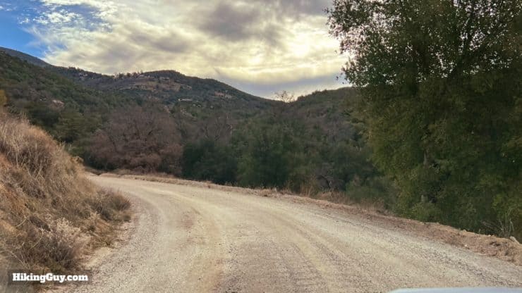
Getting to the trailhead is half of the fun as you travel down Boulder Creek Road, which is gravel. It's doable by low-clearance 2WD vehicles, but does have many washboarded sections. Use this trailhead address:
Three Sisters Falls Trailhead, Boulder Creek Rd, Santa Ysabel, CA 92070
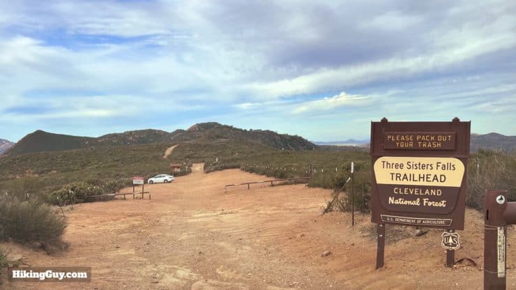
This is an extremely popular hike. If you arrive later in the morning, the parking lot may be full already. I've arrived shortly after sunrise and had it to myself. The best times are very early or later in the afternoon.
Gear For the Hike
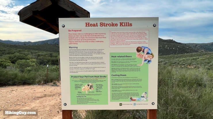
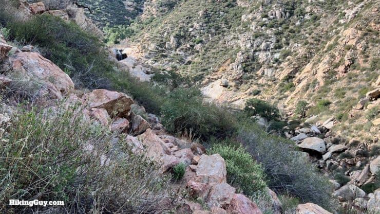
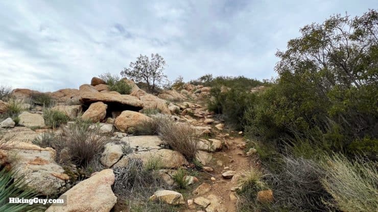
The best time to hike here is in the cooler months or early in the morning before it gets hot. Bring at least 1L of water, 2L if it's very hot. If you like to use trekking poles, they'll be helpful on the way back up from the falls. There's no scrambling, but some sections are rocky. If there's water in the falls, you can also take a dip, so plan accordingly.
Gear That I Love Right Now
Nothing is sponsored or promoted, just the actual gear that I use.


Check out the complete list here. ( Updated July 2024)
Three Sisters Falls & Eagle Peak Maps
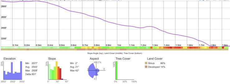
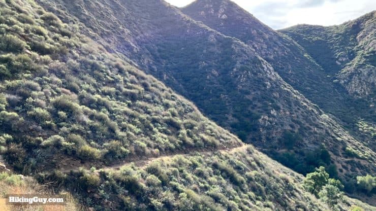
Note that this hike is a "downhill first, climb back out" experience, just like hikes into the Grand Canyon. It's much easier to hike downhill to the falls than it is to hike back out. You need to plan on doing the bulk of the work when you hike back out.
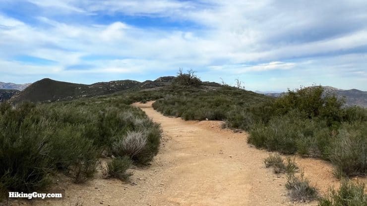
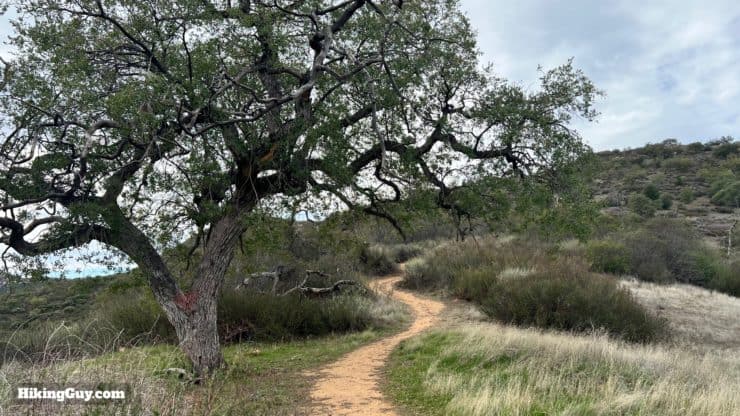
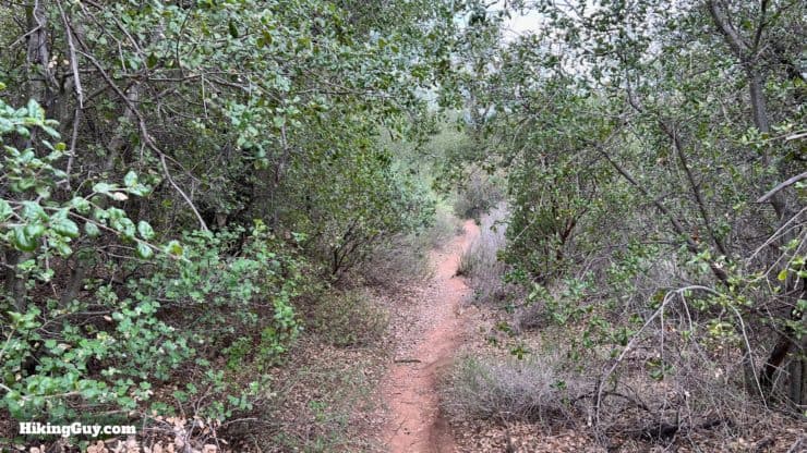
In years past this hike was considered very challenging, with some boulder scrambles and sketchy rope sections. Today the trail is rebuilt and rerouted, and you are able to just hike the whole way. There are no sketchy sections on this hike.
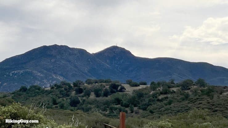
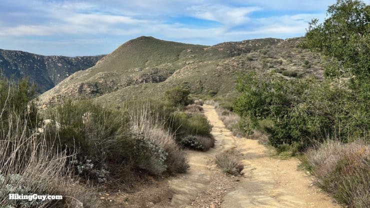
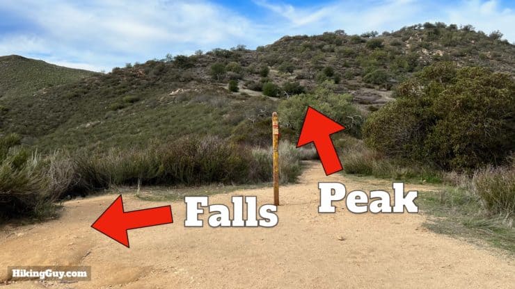
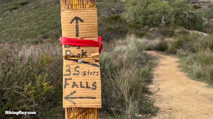
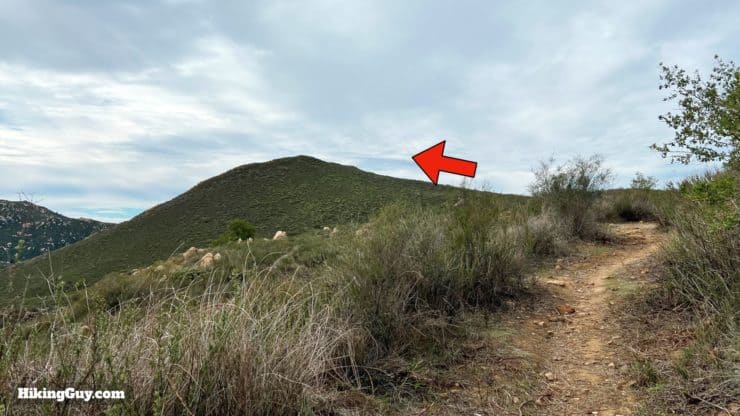
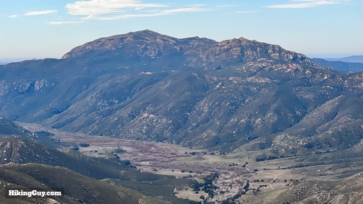
And if you fitness allows, I highly recommend adding on the side trip to Eagle Peak, which you can combine with a trip to the falls. I've included directions in the video and photos below. The Eagle Peak extension adds about 3.3 miles and 750 feet of climbing, making it about 7.7 miles with 1700 feet of climbing total.
How Will You Navigate?
 Using the Apple Watch for Hiking
 Garmin Fenix 7 & Epix Review For Hikers
 How To Read a Topographic Map
 Garmin GPSMAP 67i Review
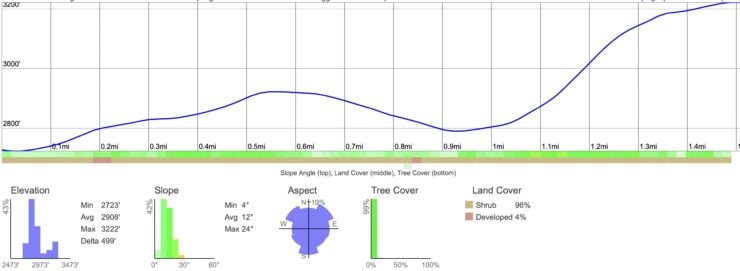
Elevation Profile
3D Map
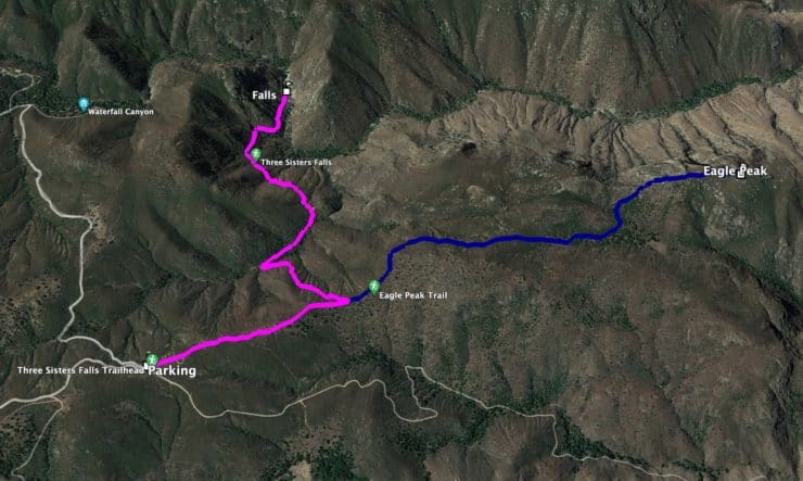
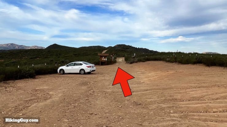
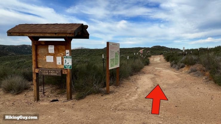
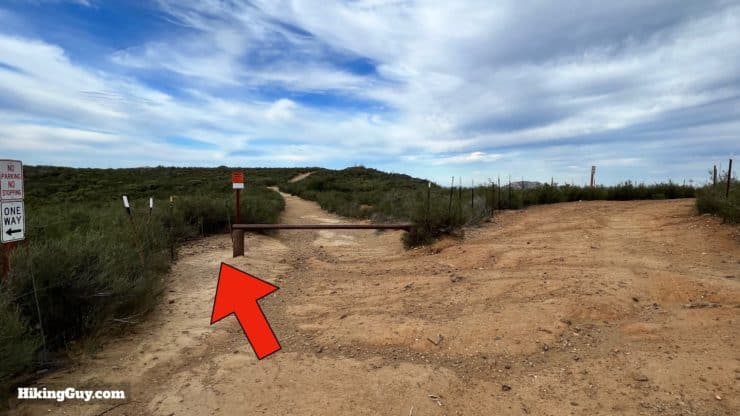
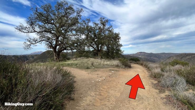
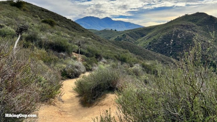
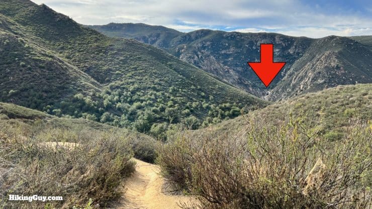
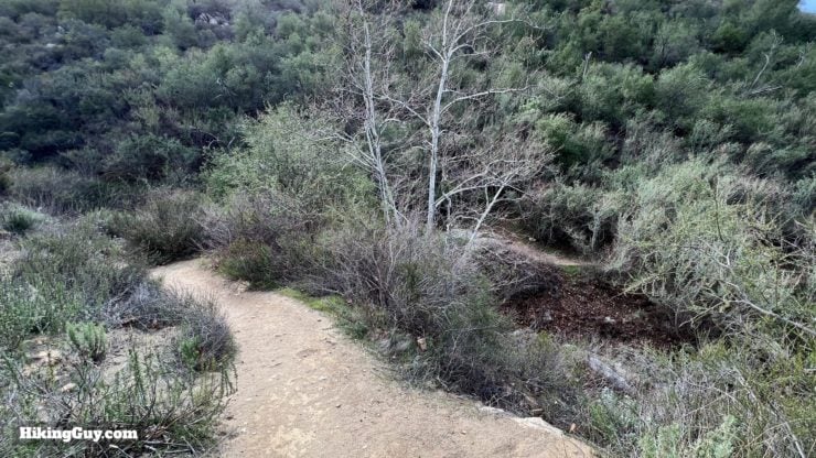
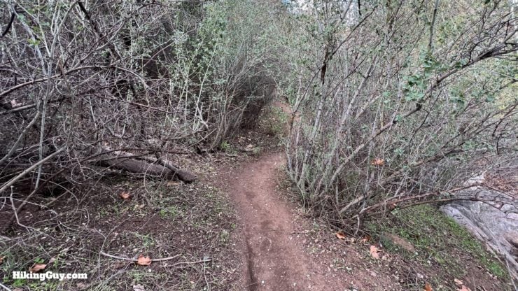
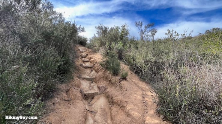
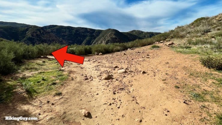
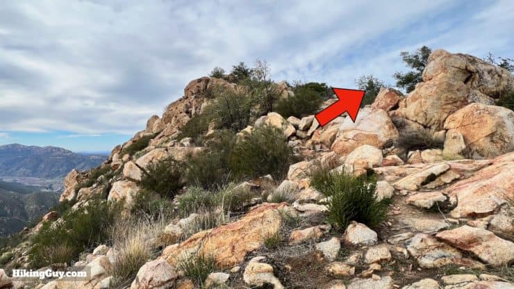
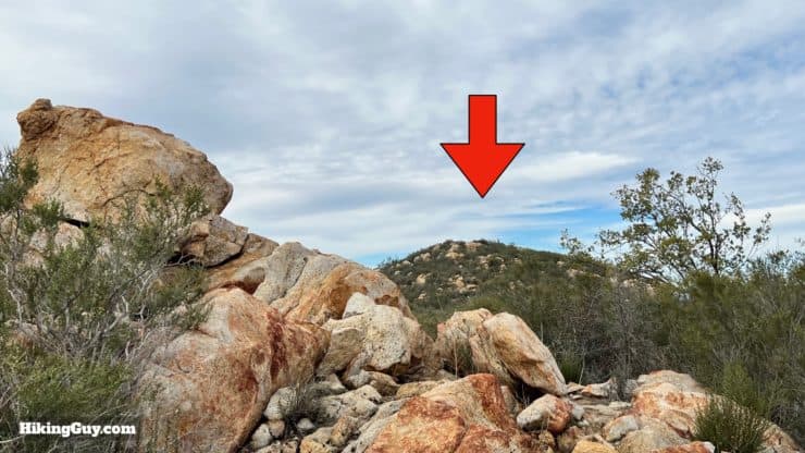
Three Sisters Falls Hike Directions
Engelmann oak trees are one of the few native trees found in San Diego county. Native peoples harvested the acorns from these oaks. Today they're an increasingly rare sight as suburban development encroaches on wilderness.
From 1870 to 1900 sheep herding was one of the industries in this area.
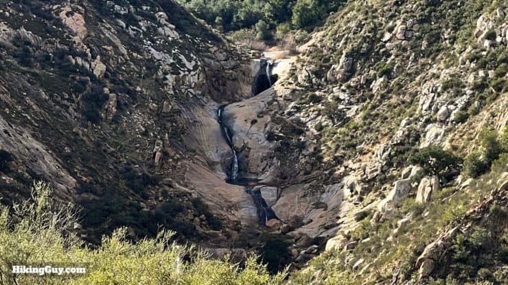
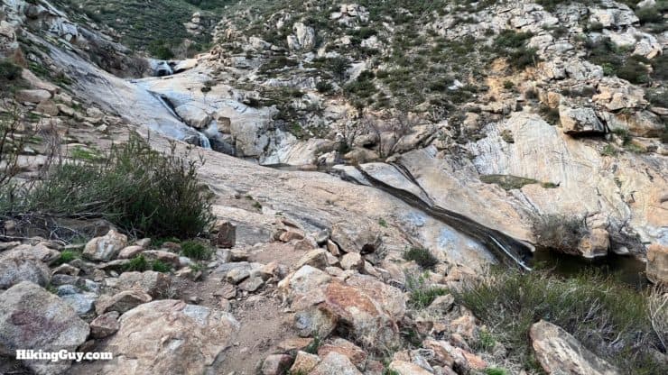
There's not an easy way to get to the upper fall and it's discouraged by the Forest Service. Be smart and stay safe.
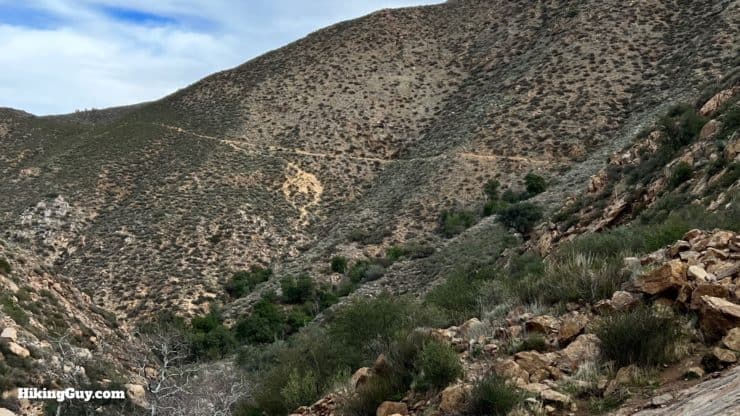
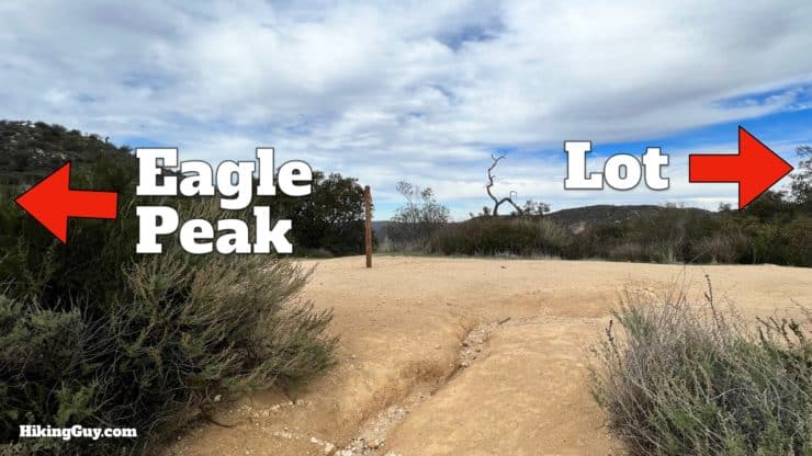
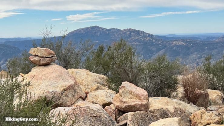
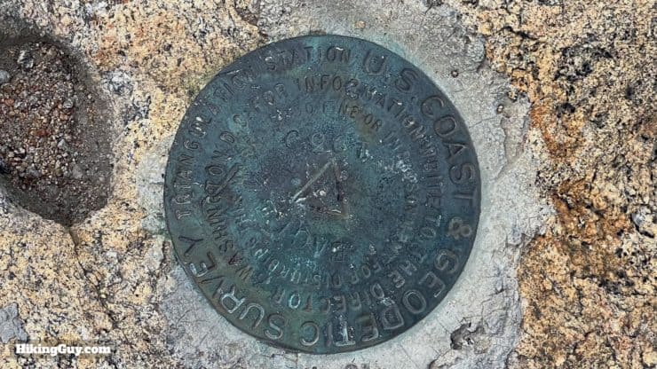
Optional Eagle Peak Hike
Eagle Peak can sometimes be closed to protect peregrine falcons breeding areas. I've noticed that the closures sometimes don't include the trail, but sometimes may. Check the website and closure map before you go.
Need More Info?
- Have a question about the guide? Join my Patreon and ask me a question.
- When planning, always check the park website and social media to make sure the trails are open. Similarly, check the weather and road conditions.
- Do you have an update to this guide? View the Youtube comments for this video. Leave a comment and I will do my best to update the guide.
Related Guides
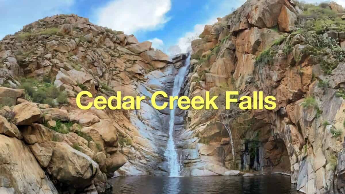 Cedar Creek Falls Trail Guide
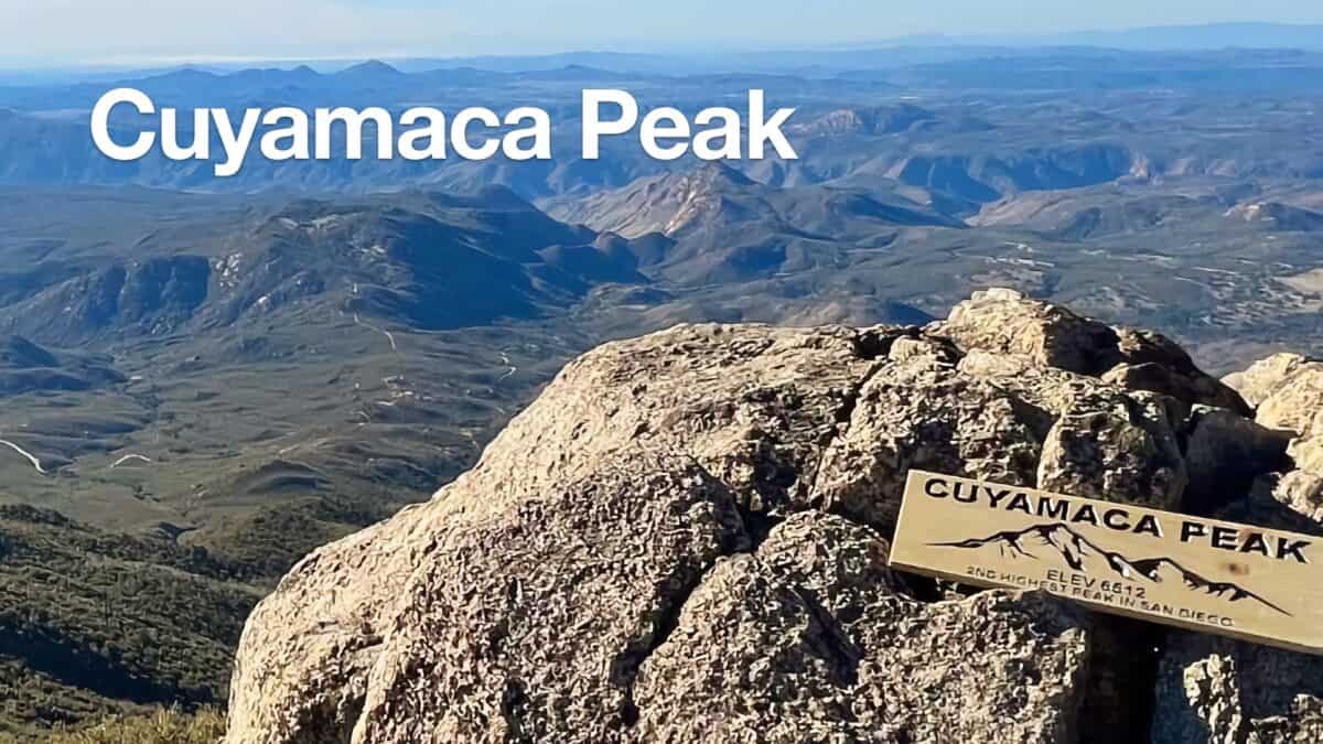 Hike Cuyamaca Peak
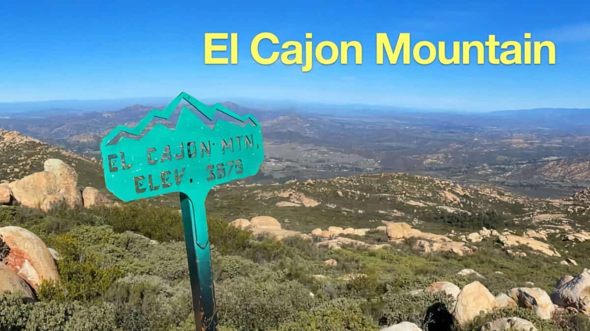 El Cajon Mountain Trail Guide
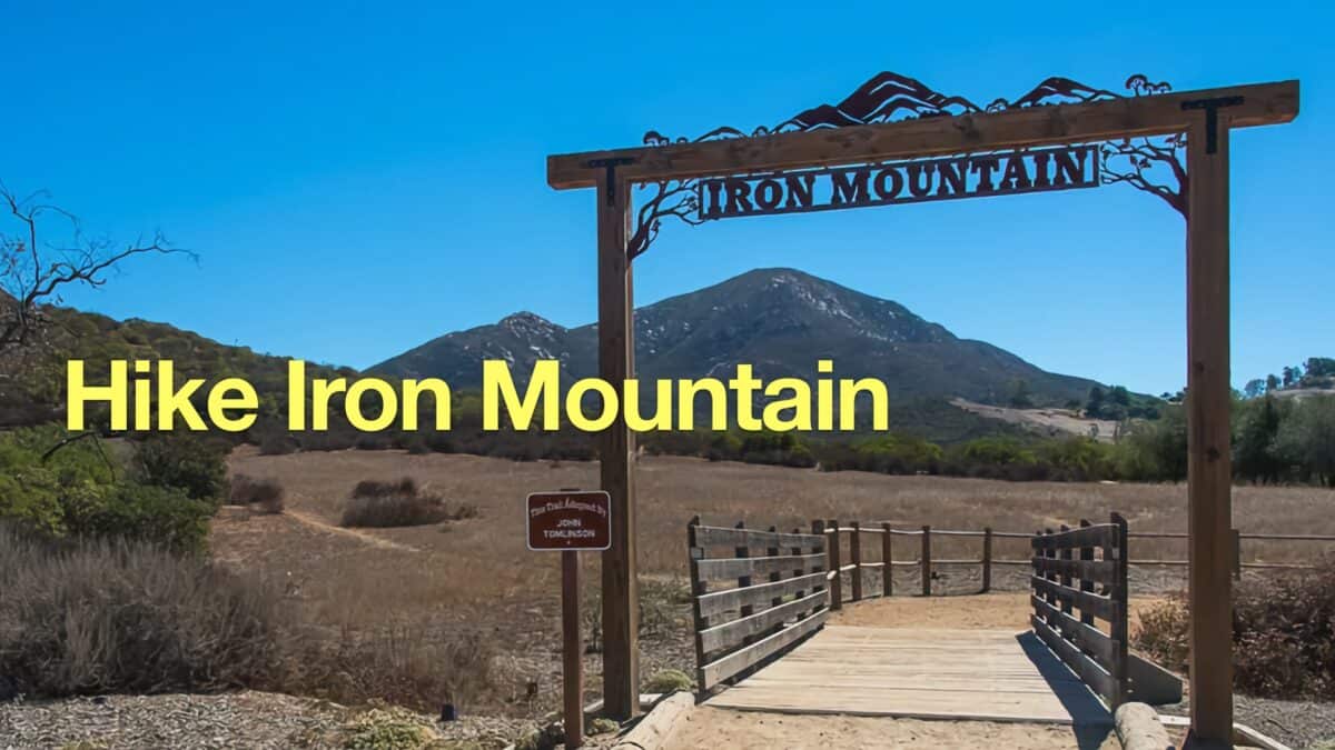 Hike Iron Mountain (San Diego)
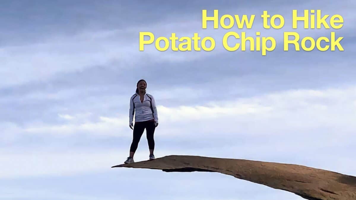 Potato Chip Rock Hike (San Diego)
 Corte Madera Mountain Hike
 Hiking San Diego
 Cleveland National Forest Hiking
Popular Guides
 Best Hiking Gear 2024
 Hiking Boots or Shoes: Do I Really Need Hiking Boots?
 When to Hit SOS on inReach
This Guide Was Written by Cris Hazzard

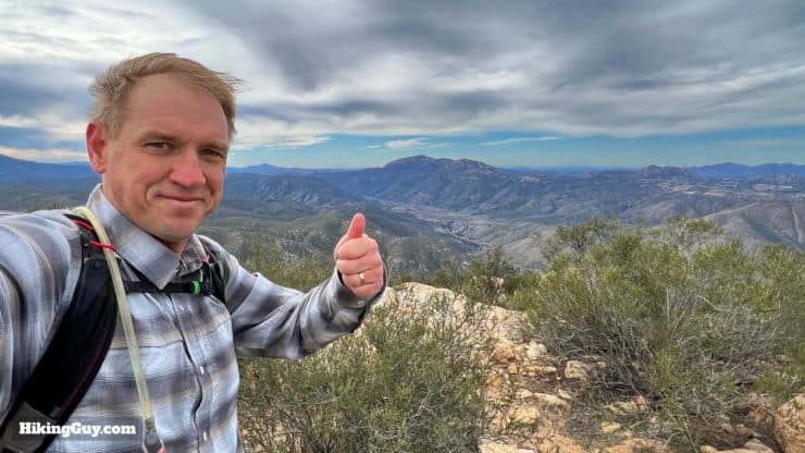
Hi, I'm Cris Hazzard, aka Hiking Guy, a professional outdoors guide, hiking expert, and author based in Southern California. I created this website to share all the great hikes I do with everyone else out there. This site is different because it gives detailed directions that even the beginning hiker can follow. I also share what hiking gear works and doesn't so you don't waste money. I don't do sponsored or promoted content; I share only the gear recommendations, hikes, and tips that I would with my family and friends. If you like the website and YouTube channel, please support these free guides (I couldn't do it without folks like you!). You can stay up to date with my new guides by following me on YouTube, Instagram, or by subscribing to my monthly newsletter.