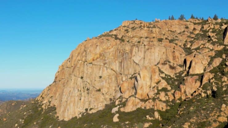

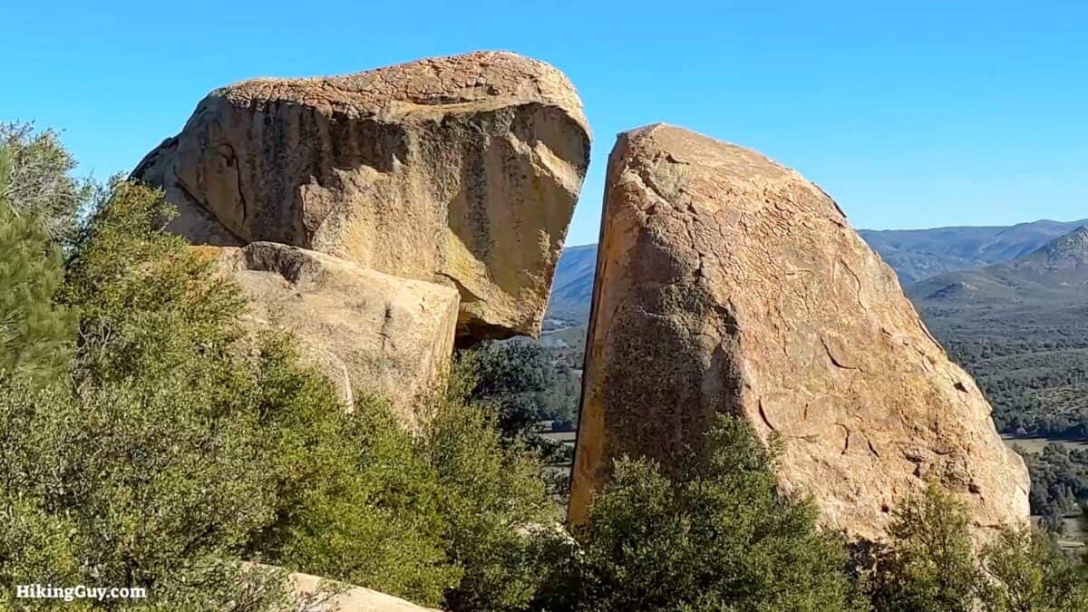
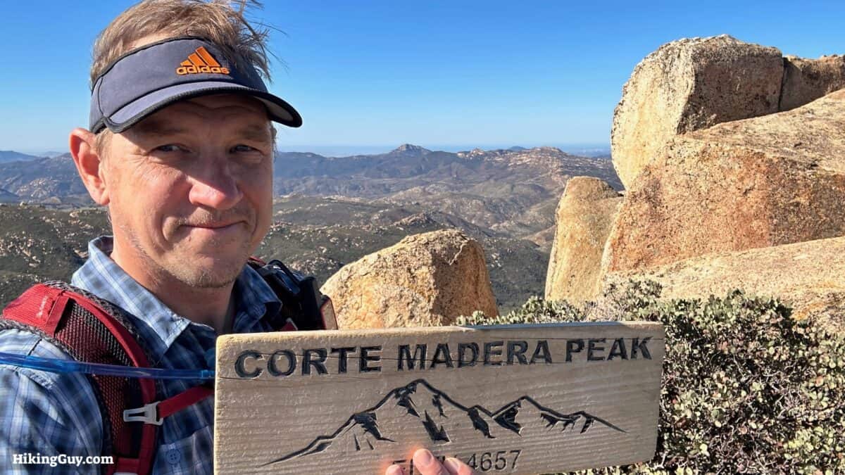
Nestled in San Diego's backcountry is Corte Madera, a 500-foot sheer cliff face known as “San Diego's Half Dome.” In this guide, I'll show you how to hike to the top: no cables or scary parts included. I'll also include a side trip to Los Pinos Mountain, home to a fire tower since 1925. The hike has some uphill sections but is doable for almost everyone.
- Video and Turn By Turn Directions
- How to Get to the Trailhead
- What to Watch Out For & Insider Tips
Where is Corte Madera Mountain?
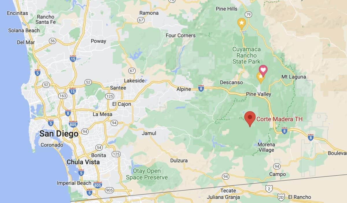
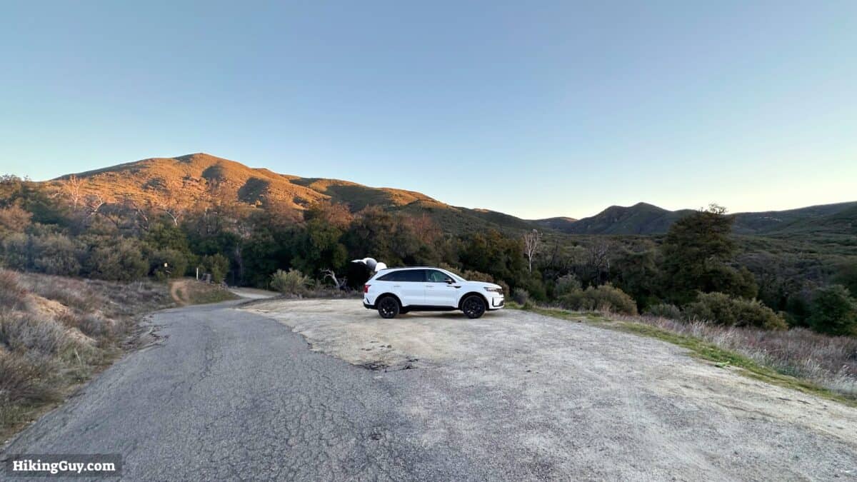
There's no official parking lot for Corte Madera Mountain, but there is a sand parking lot on the side of the road. The drive there includes some small roads will potholes, but it is doable by all cars. Expect to go slower in the last couple of miles to the trailhead.
The location of the trailhead is in Campo, CA, at 32.736174, -116.555995, and there is a Google Maps address that has popped up too. You'll see signs for the nearby Coral Canyon OHV Area.
Gear For the Hike
If you're unfamiliar with the San Diego backcountry, summers can be scorching, and winters can be below freezing. The best season for this hike is in the winter when the temperatures are cooler, and the plants are green.
Corte Madera is a backcountry hike, and you should pack the essentials. Generally, 2L of water works well, as do trail runners and trekking poles. Cellular service is sketchy, so bring your satellite communicator.
Gear That I Love Right Now
Nothing is sponsored or promoted, just the actual gear that I use.


Check out the complete list here. ( Updated October 2024)
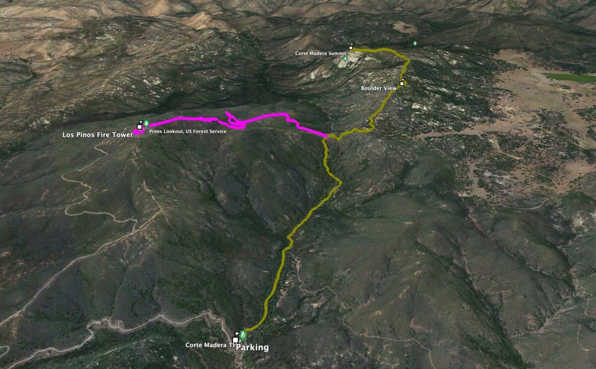
Corte Madera Trail Maps
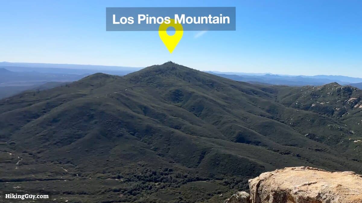
In this guide, I'll show you how to hike to Corte Madera and then add a side trip to the fire tower at Los Pinos Mountain. Including the Los Pinos extension adds about 4 miles to the total distance.
How Will You Navigate?
 Using the Apple Watch for Hiking
 Garmin Fenix 7 & Epix Review For Hikers
 How To Read a Topographic Map
 Garmin GPSMAP 67i Review
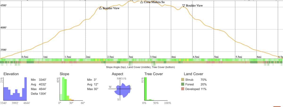
Elevation Profile
3D Map
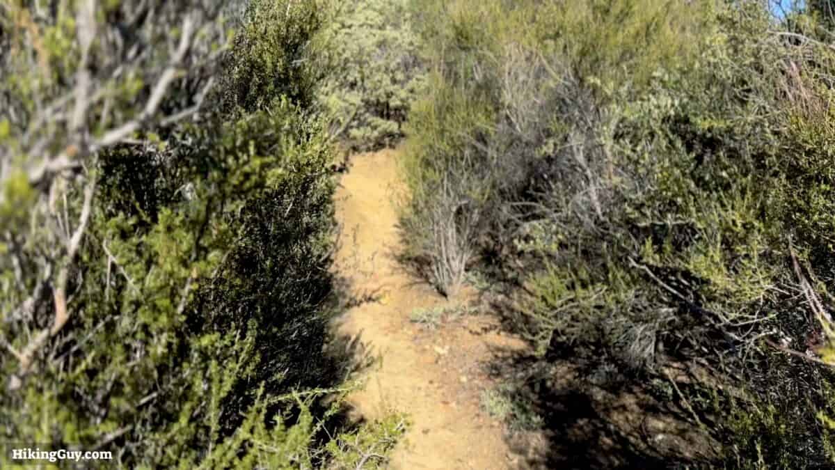
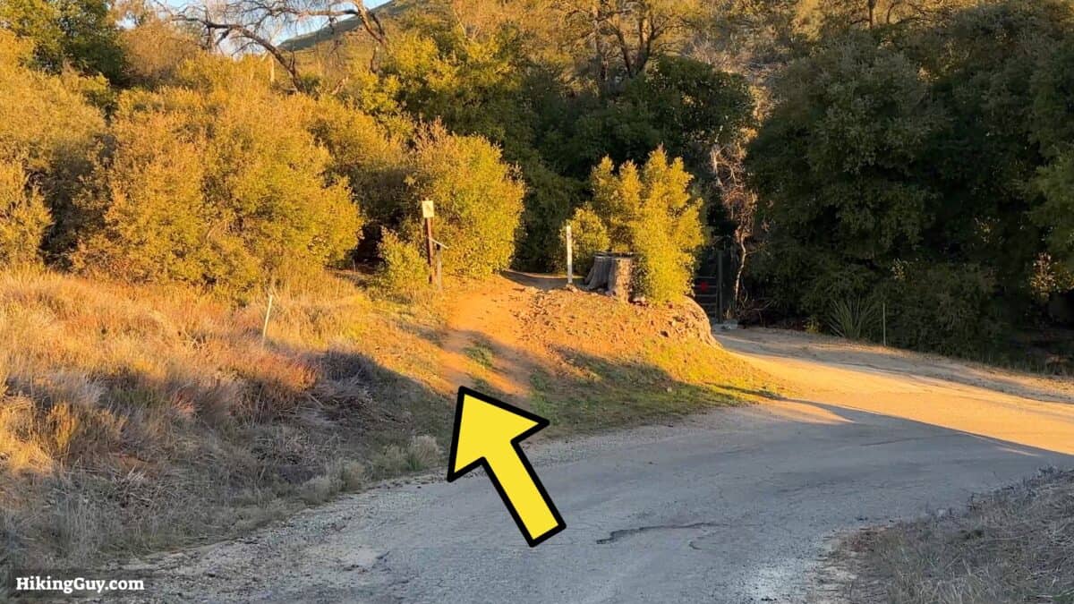
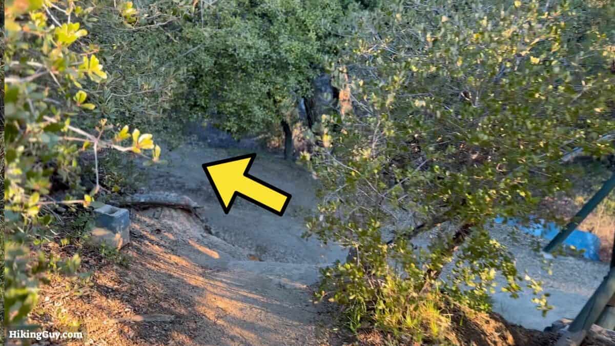
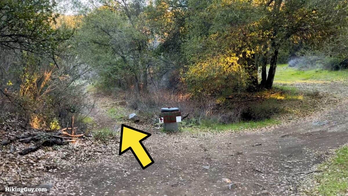
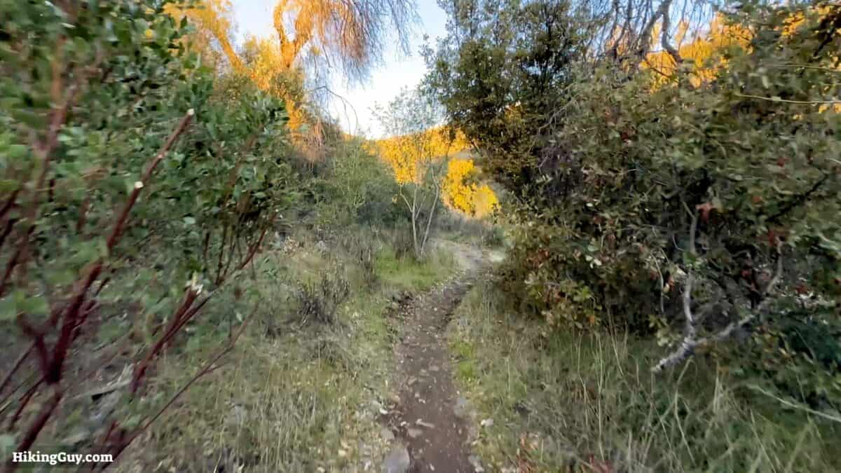
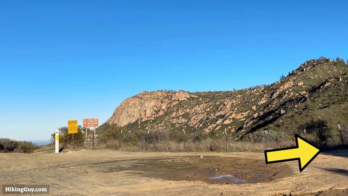
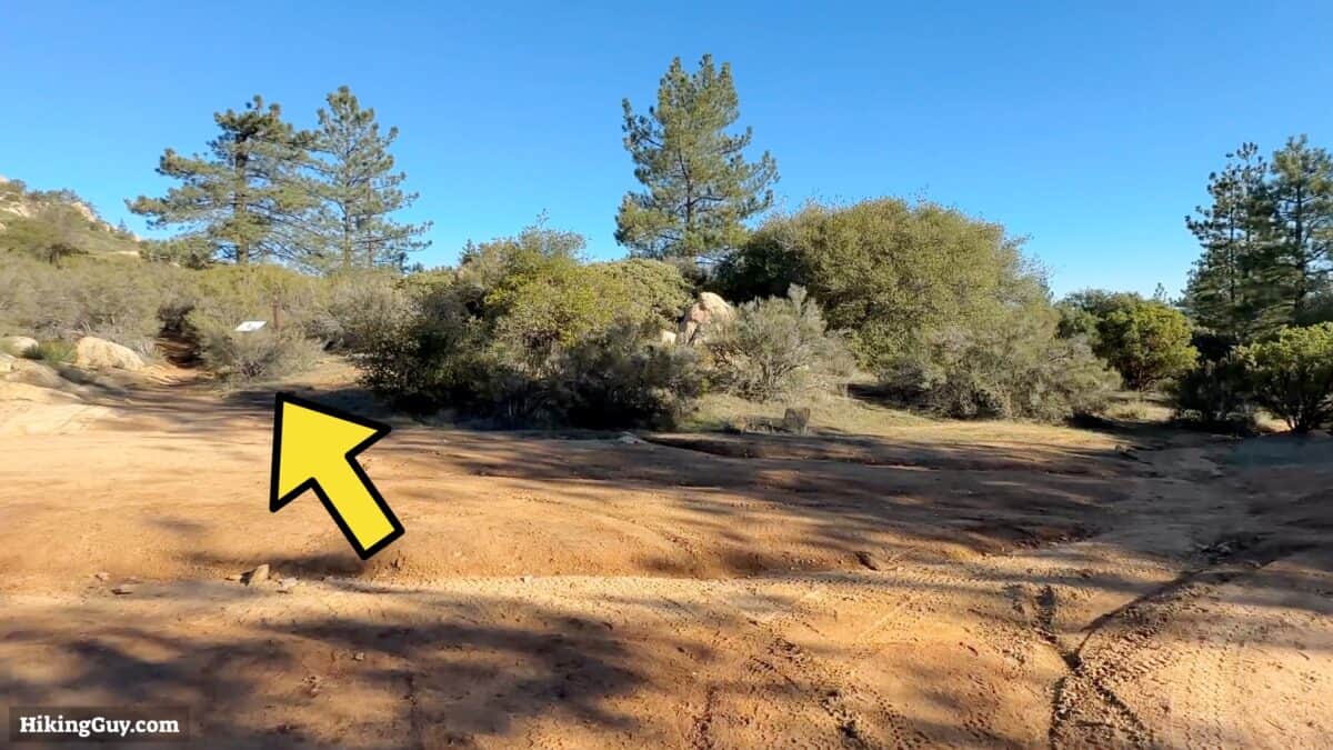
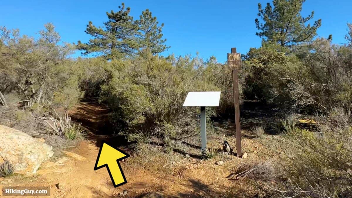
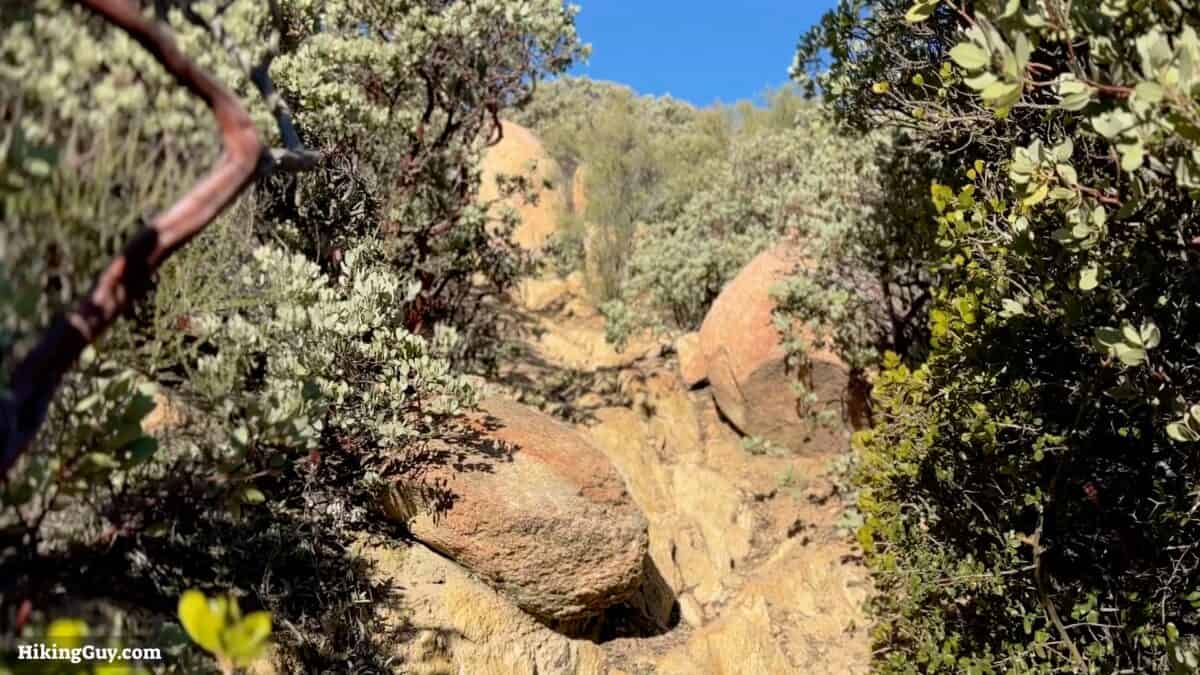
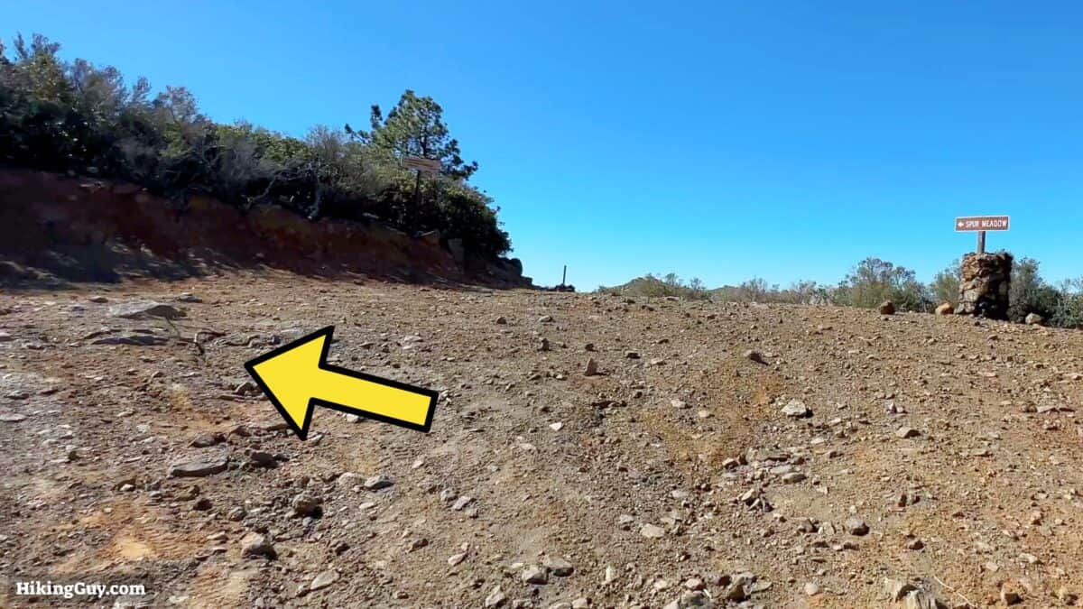
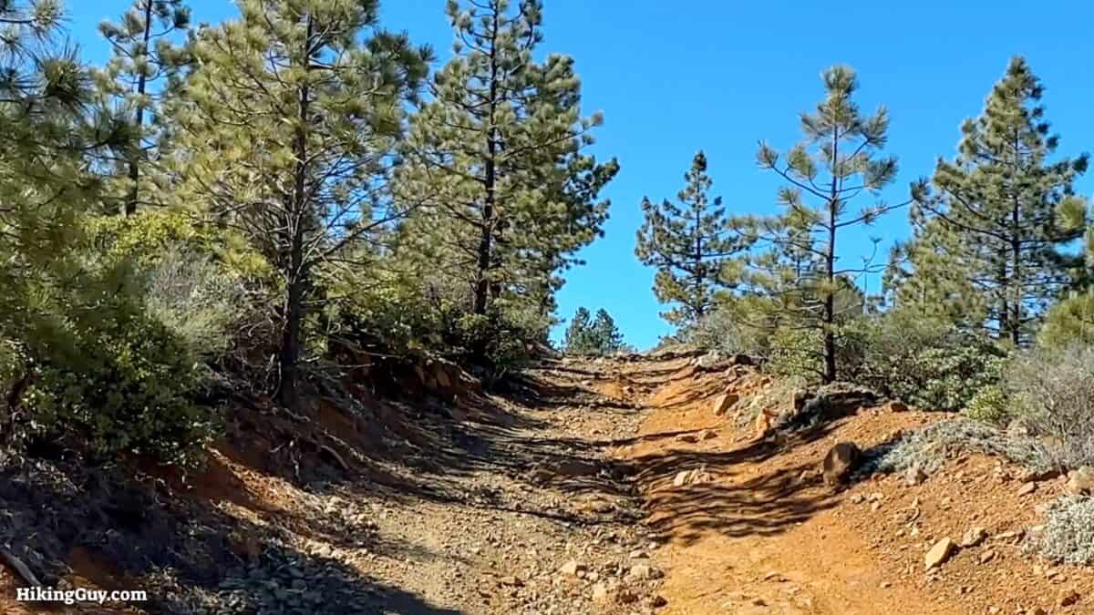
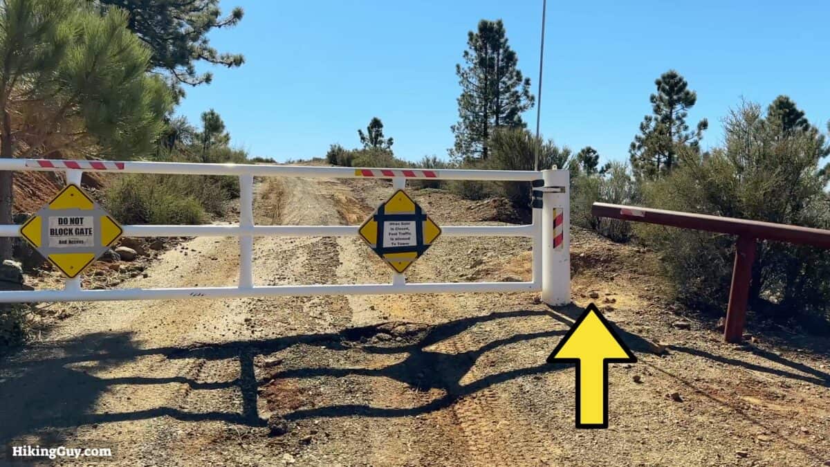
Corte Madera Hike Directions
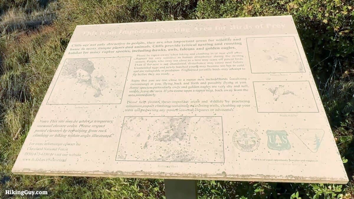
The cliff face of Corte Madera can be closed during nesting season. This mainly affects climbers, but it's worth checking the closure alerts before you leave just in case.

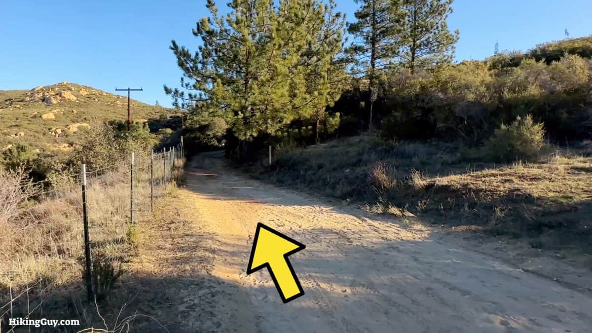
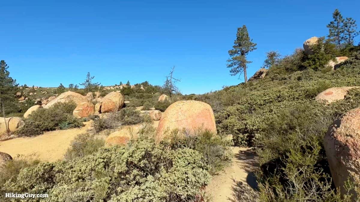
Corte Madera means "woodyard." The early Spanish settlers used this area to fell lumber to build the Mission San Diego. As you start hiking up Los Pinos road, you'll start to see the Coutler Pines that they used.
As you approach the summit you'll see several spots used by others for backcountry camping. If you'd like to camp, you'll need to get a backcountry permit.
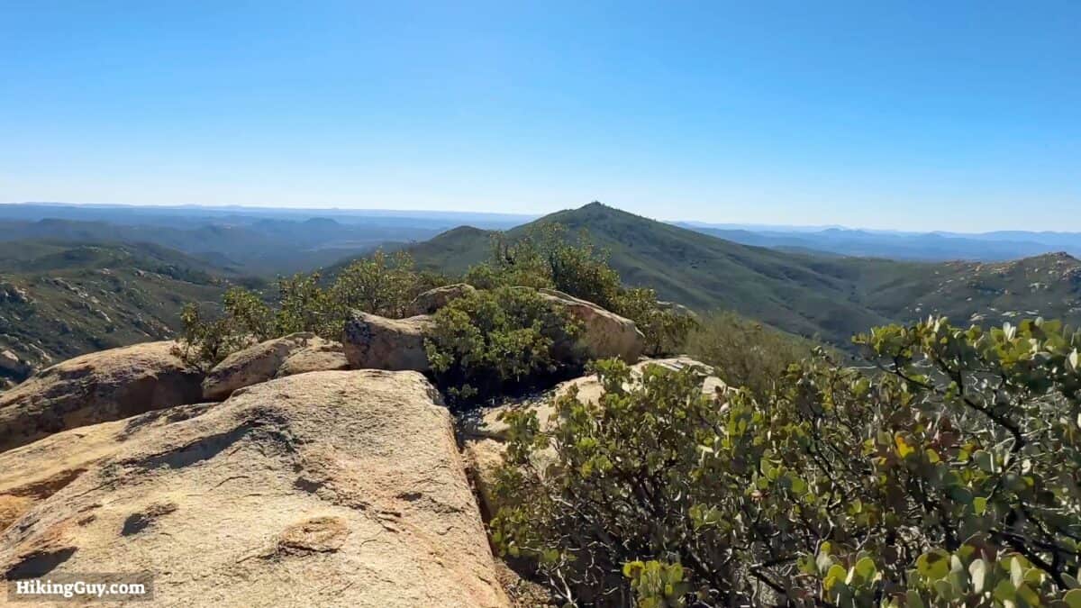
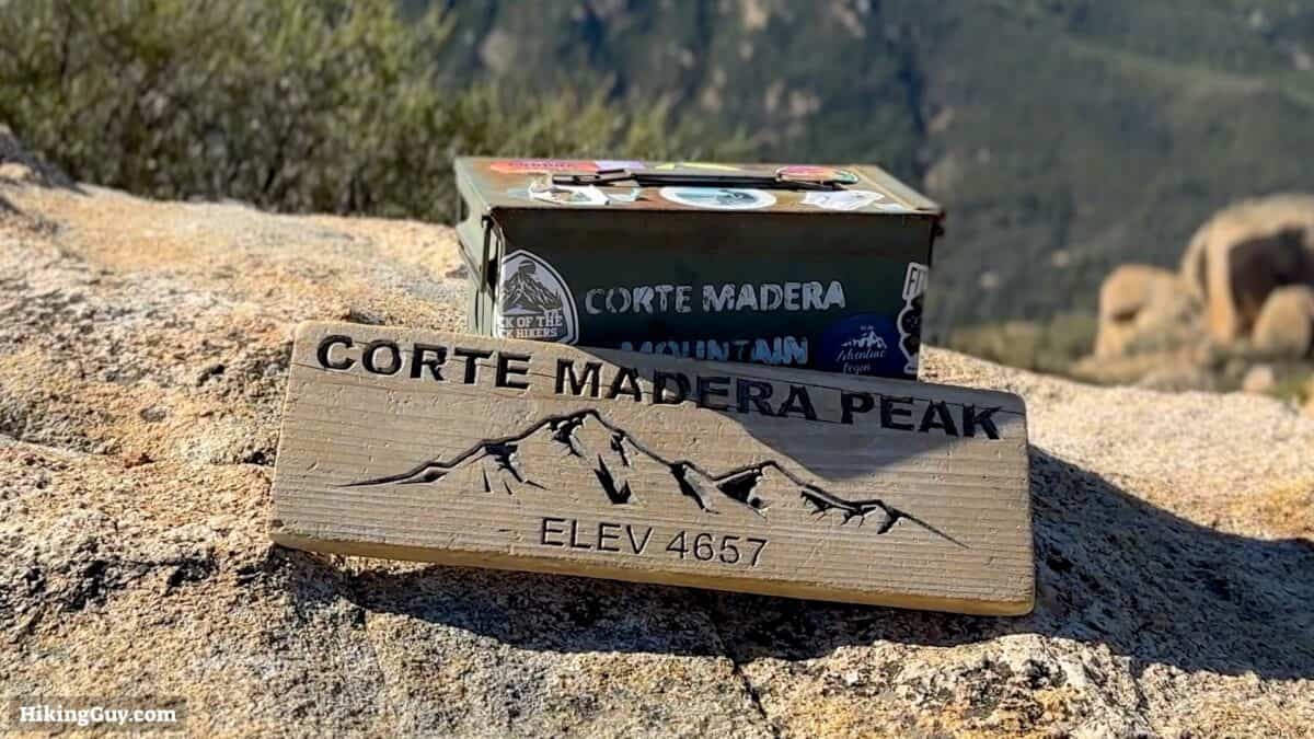
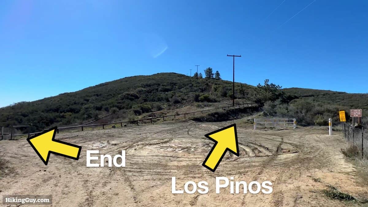
From the summit, head back down to the big intersection by the Espinosa Trail and Los Pinos Road.
Los Pinos Mountain Hike Extension
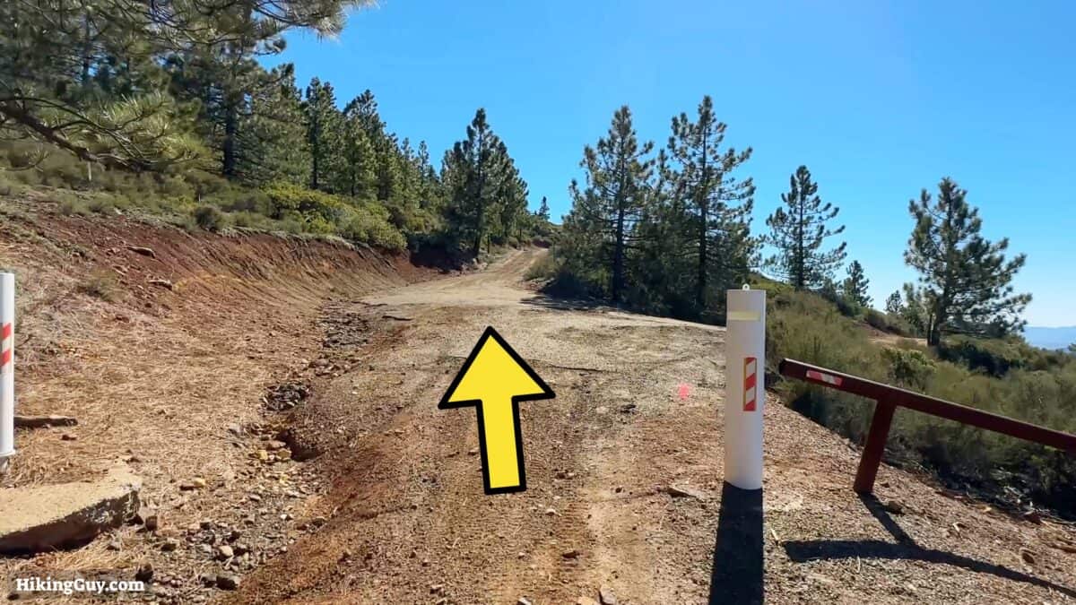

From Los Pinos Mountain, just go back the way you came to the Espinosa Trail and then back down that to the start.
Need More Info?
- Have a question about the guide? Join my Patreon and ask me a question.
- When planning, always check the park website and social media to make sure the trails are open. Similarly, check the weather and road conditions.
- Do you have an update to this guide? View the Youtube comments for this video. Leave a comment and I will do my best to update the guide.
Related Guides
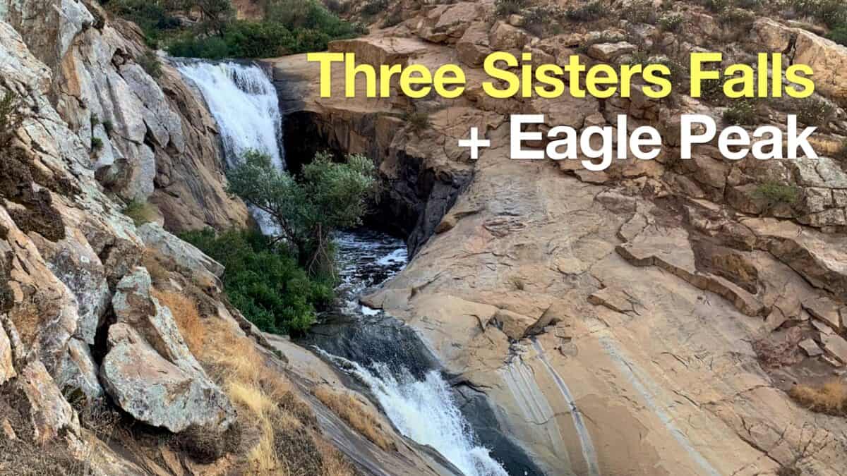 Hike Three Sisters Falls & Eagle Peak
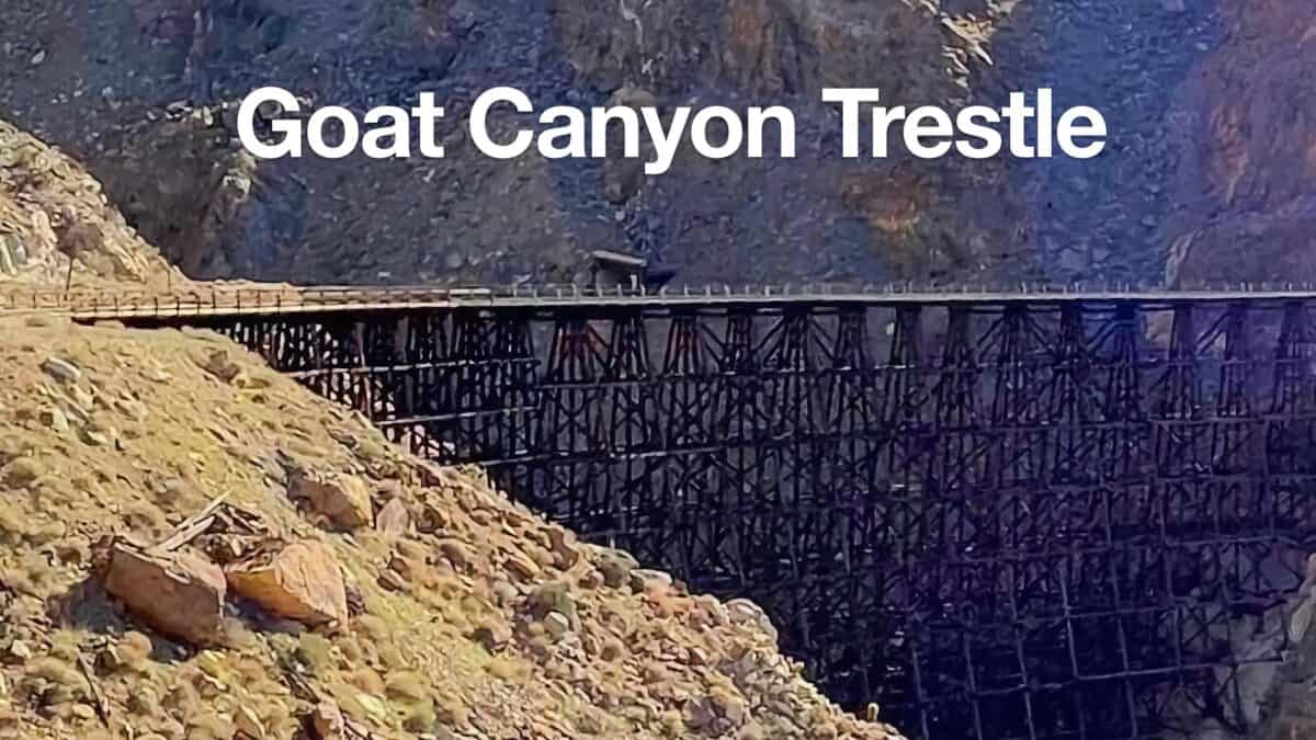 Goat Canyon Trestle Hike
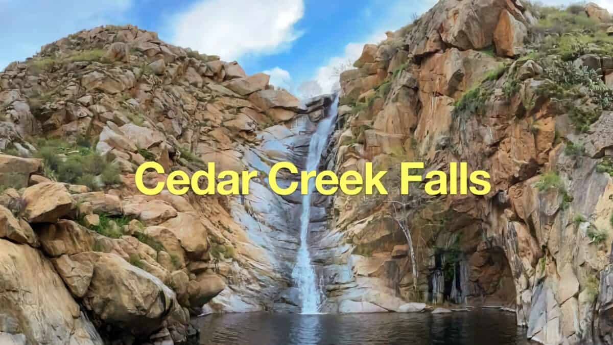 Cedar Creek Falls Trail Guide
 Hiking San Diego
 Cleveland National Forest Hiking
Popular Guides
 Best Hiking Gear 2024
 Hiking Boots or Shoes: Do I Really Need Hiking Boots?
 When to Hit SOS on inReach
This Guide Was Written by Cris Hazzard

Hi, I'm Cris Hazzard, aka Hiking Guy, a professional outdoors guide, hiking expert, and author based in Southern California. I created this website to share all the great hikes I do with everyone else out there. This site is different because it gives detailed directions that even the beginning hiker can follow. I also share what hiking gear works and doesn't so you don't waste money. I don't do sponsored or promoted content; I share only the gear recommendations, hikes, and tips that I would with my family and friends. If you like the website and YouTube channel, please support these free guides (I couldn't do it without folks like you!). You can stay up to date with my new guides by following me on YouTube, Instagram, or by subscribing to my monthly newsletter.