Valley of the Moon Trail
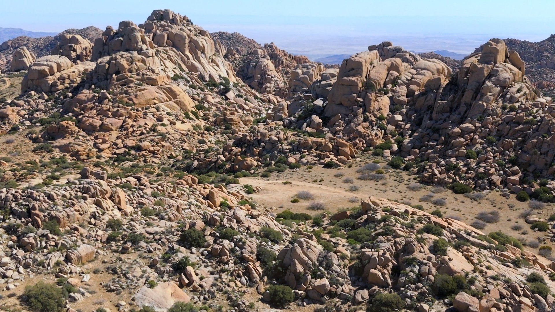
The Valley of the Moon Trail offers a unique desert hike through some spectacular granite formations near the U.S.–Mexico border. Along the way, there’s a smugglers’ cave, abandoned mines, and a stretch of trail right on the border. It’s remote, rugged, and underrated.
Where is Valley of the Moon Trail?
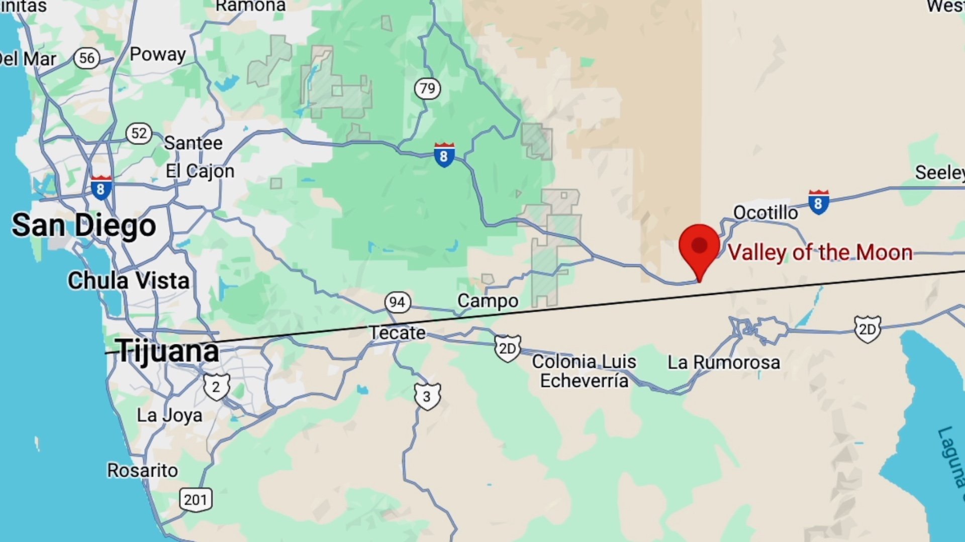
Use this trailhead address:
48549 Old Hwy 80, Jacumba Hot Springs, CA 91934
There is no fee to park here.
Gear Recommendations
Valley of the Moon Trail is in an environment of extremes. In the summer, it can be over 100°F, and when it's cold, the wind chill can push temperatures below freezing. Check the weather link at the start of the guide to make sure you're prepared for the conditions — and for them to change. If it's too hot, don't go.
- Bring your backcountry essentials.
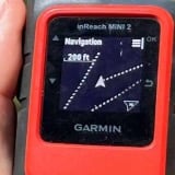
- Most of the area has cell reception. At some point you may even connect to cell towers in Mexico. If you have a satellite communicator it's prudent to bring it along.
- Bring at least 2L of water, more if it's very hot.
Gear I Love Right Now

Valley of the Moon Trail Maps
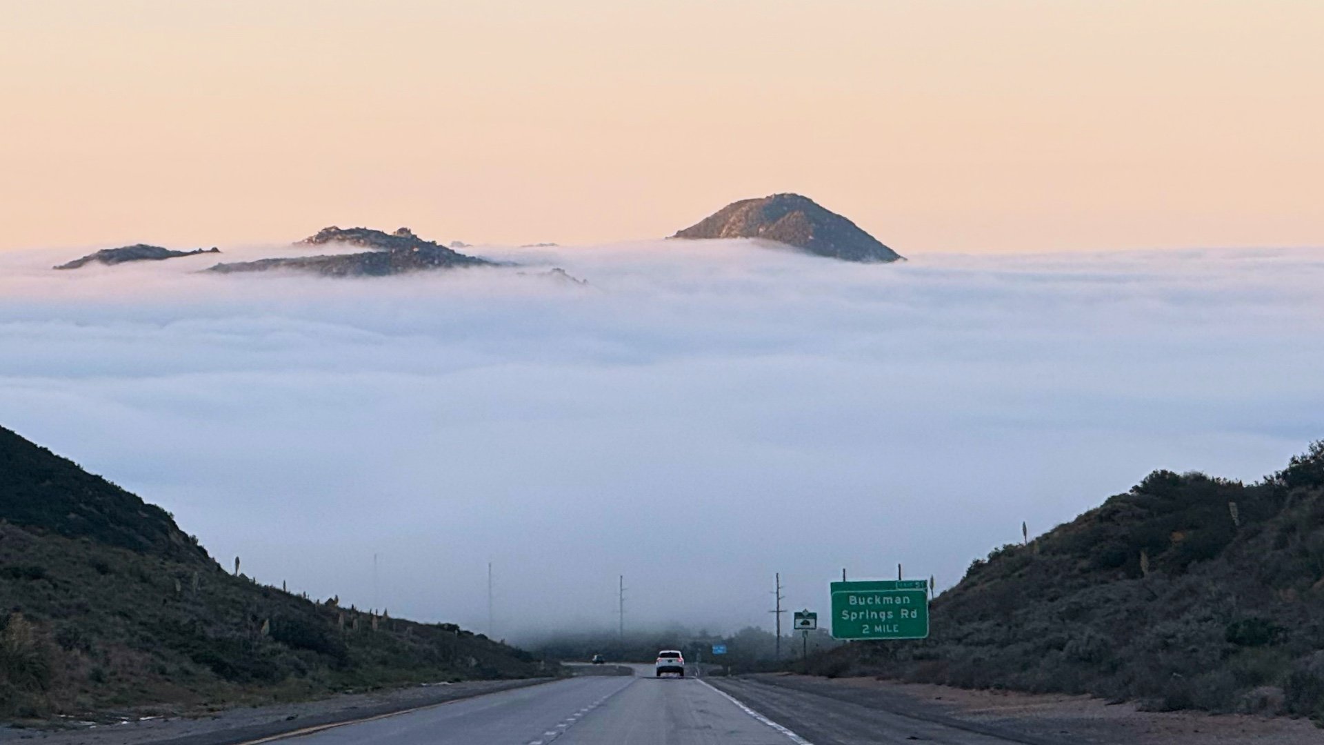
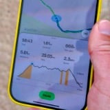
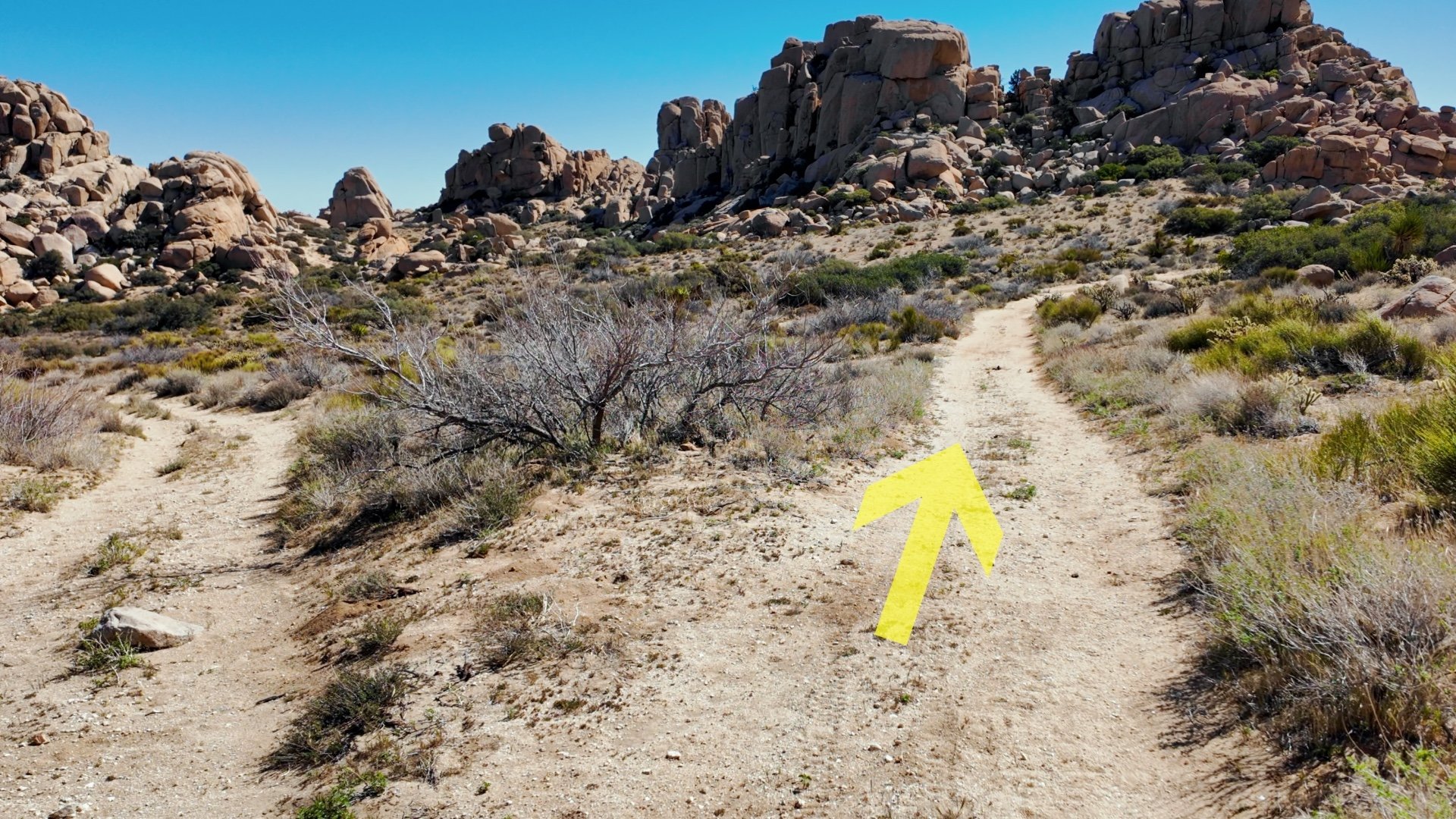
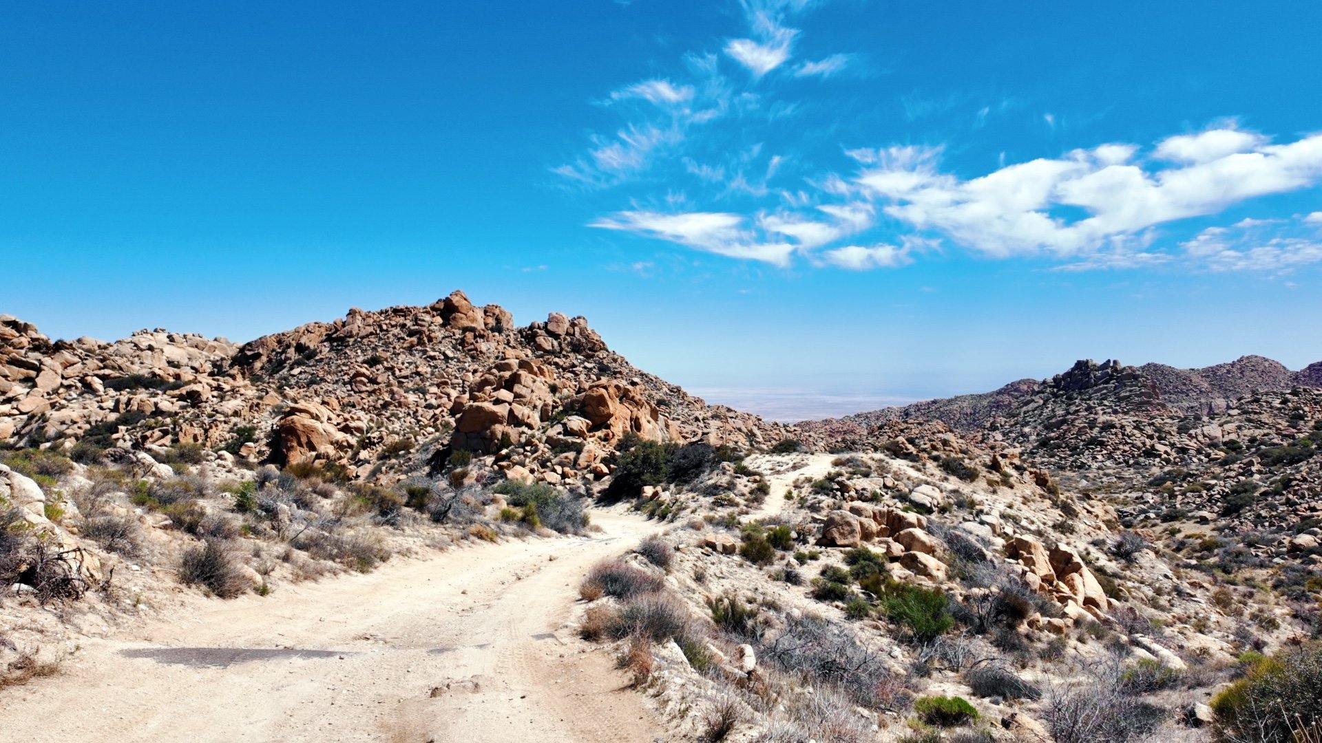
While the name might be Valley of the Moon Trail, there's actually not a single defined trail per se. In fact, there are many different use trails and off-road routes here. It's vital to have electronic navigation because it's not as simple as turn-by-turn directions. Load the GPS file I provided onto your phone, have offline maps, and use them to make sure you're in the right place.
Is Valley of the Moon Safe?

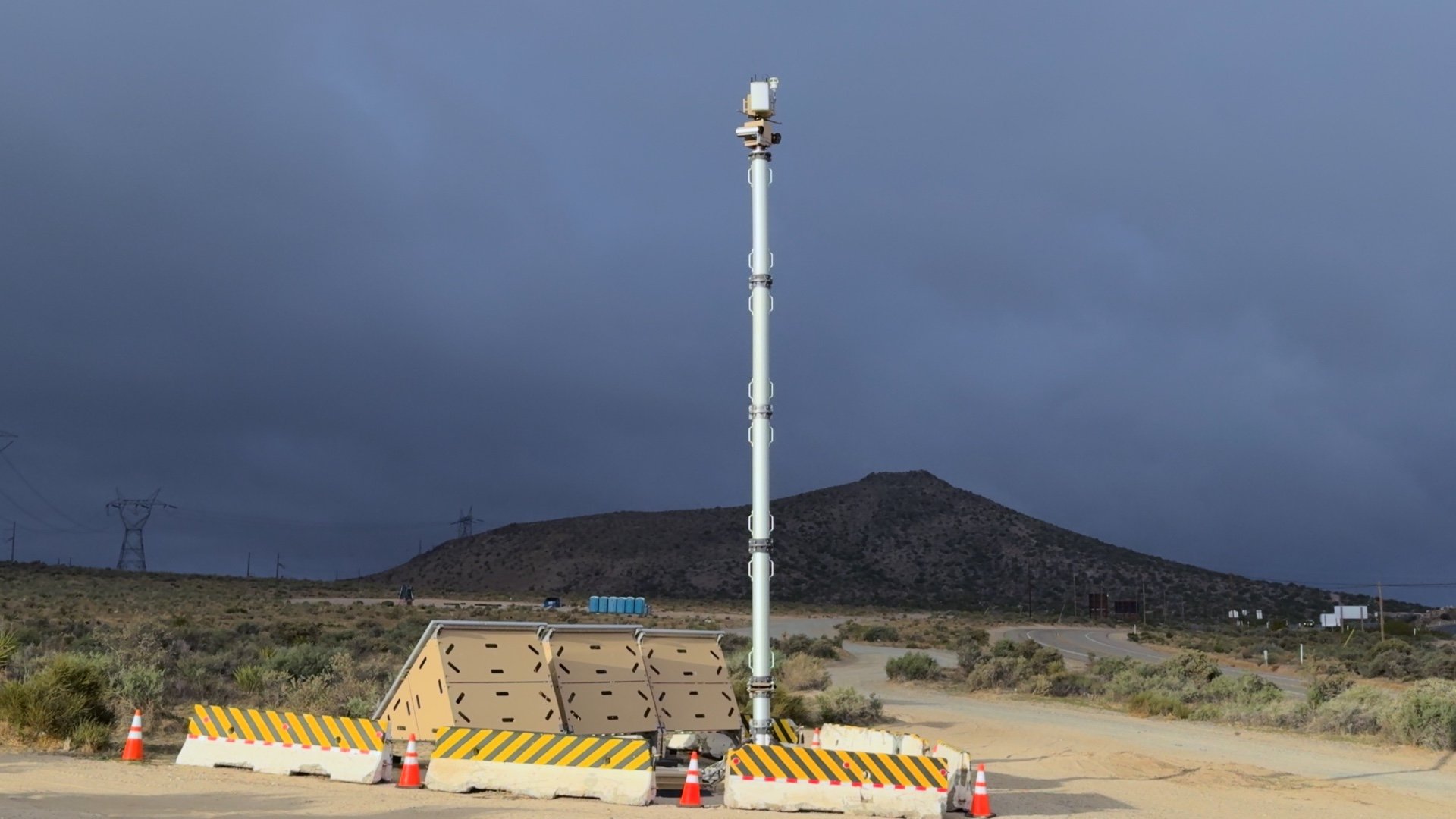
This hike is generally considered safe, and all areas covered in this guide were deemed secure by U.S. Customs and Border Protection (CBP) at the time of writing. However, conditions can change rapidly in border regions due to various factors.
- Before heading out, it's advisable to check recent trip reports on platforms like AllTrails for the Valley of the Moon Trail and Blue Angels Peak to see current trail conditions and any user-reported issues.
- Contacting the local CBP office can provide up-to-date information on safety and any advisories. When you call, mention your plans to hike in the Valley of the Moon area and inquire about any current concerns. While they may note that there's always some level of risk, they can offer guidance on areas to avoid based on recent activity.
- Remember that risks exist in many hiking areas, not just near borders. Personally, I've always felt secure hiking in this region, largely due to the significant law enforcement presence. While I've occasionally seen individuals crossing the border, they've consistently kept their distance or avoided contact.
Valley of the Moon Hike Directions
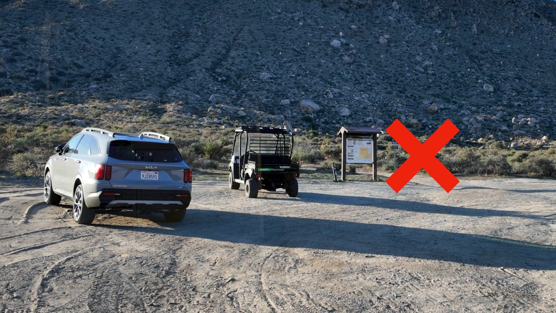


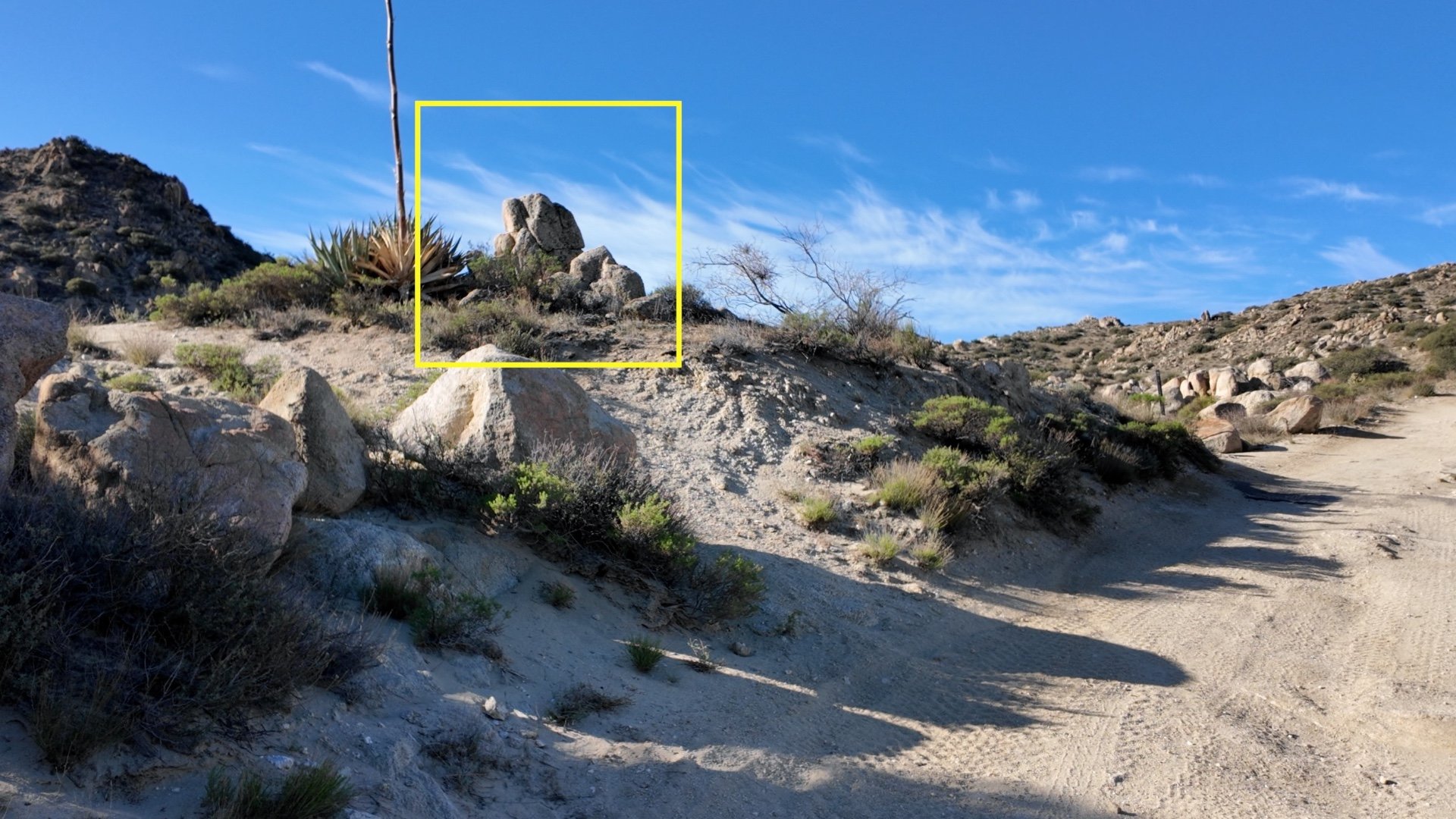

Unlike most of my trail guides where I show you every intersection and turn, that wouldn't be practical here at the Valley of the Moon because of the dozens, if not hundreds, of unofficial trails all over from here forward. I'll show you the main landmarks and what to look for, but again, make sure you bring this route on your GPS or phone along with offline maps.

If you're lucky, you might spot some wild horses, burros, or cattle. The wild horses are allegedly descended from animals that escaped or were abandoned by Spanish settlers hundreds of years ago. This is not an official grazing area, so any cattle you see have likely wandered off from wherever they're supposed to be.
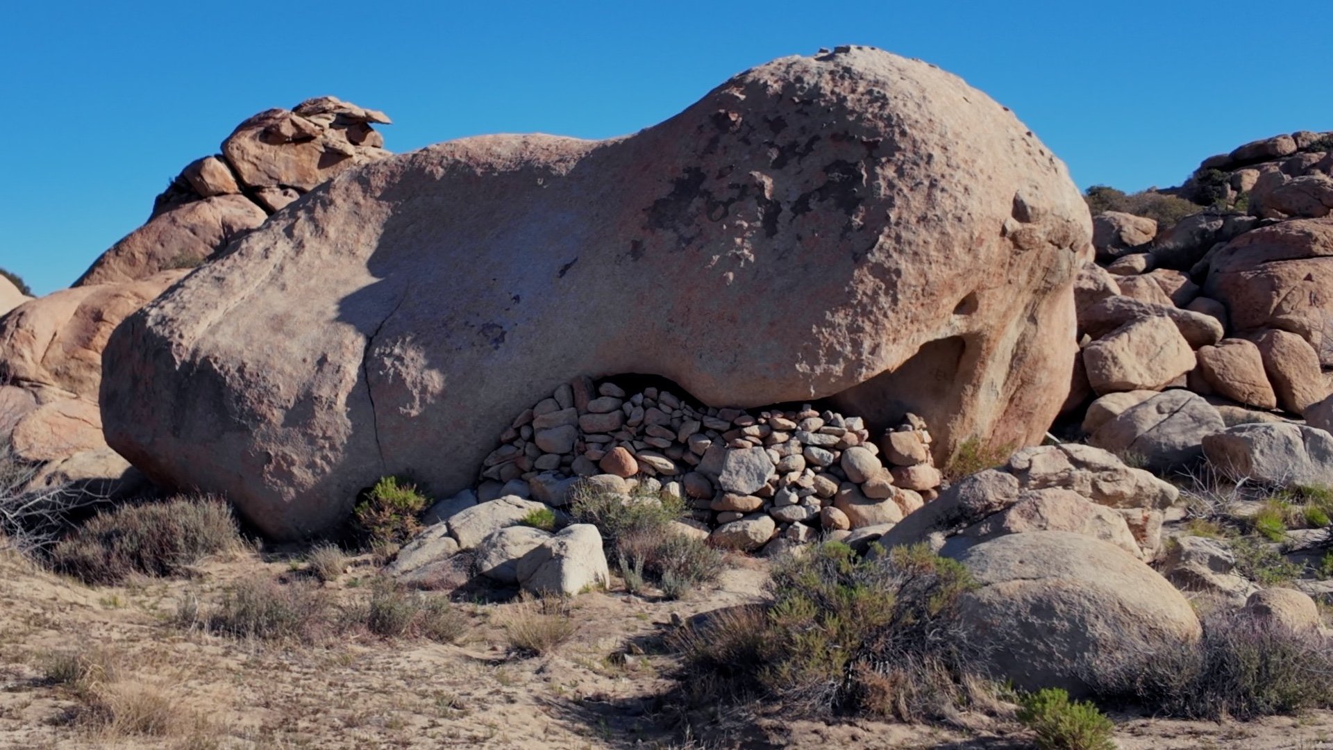
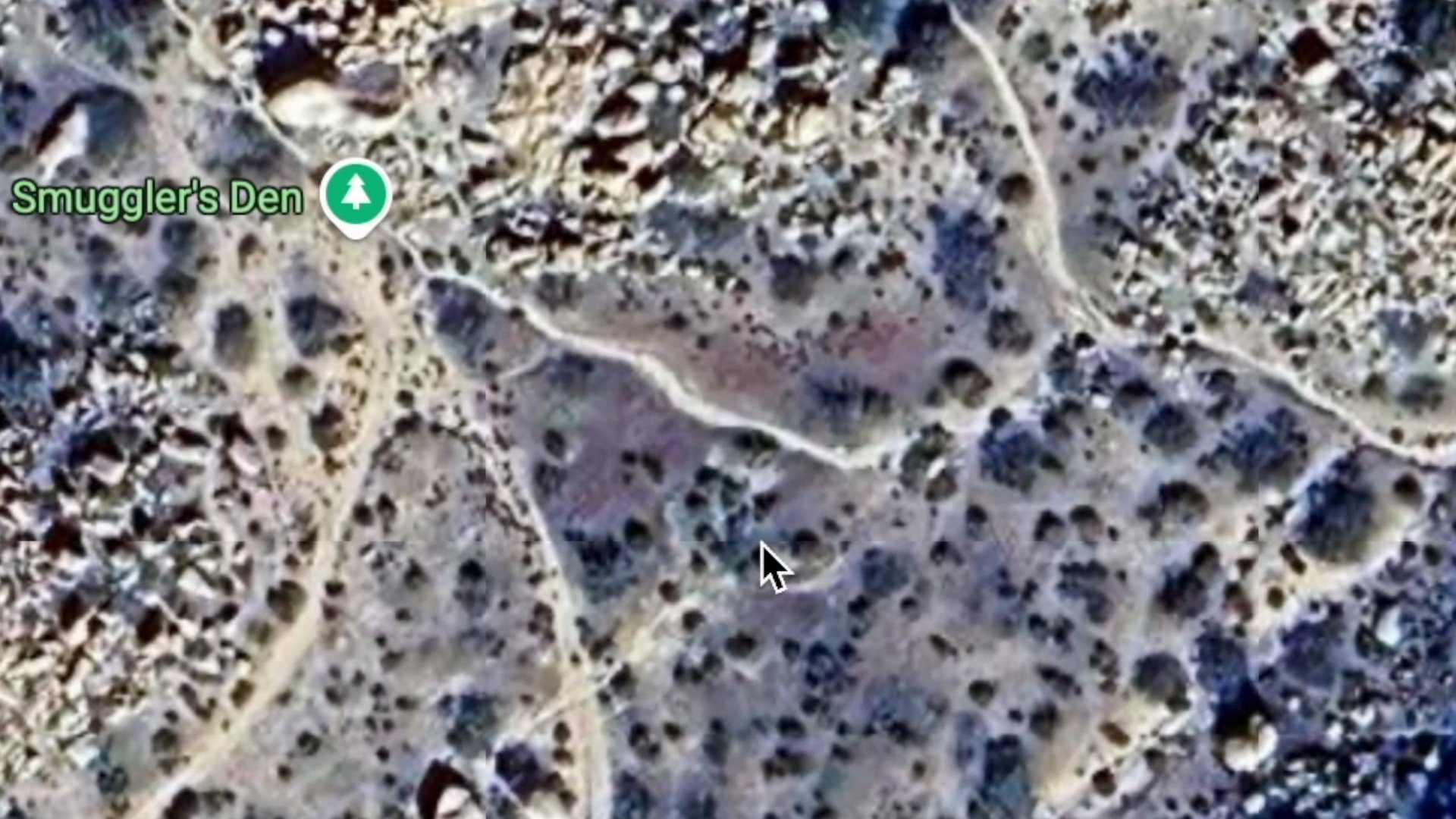
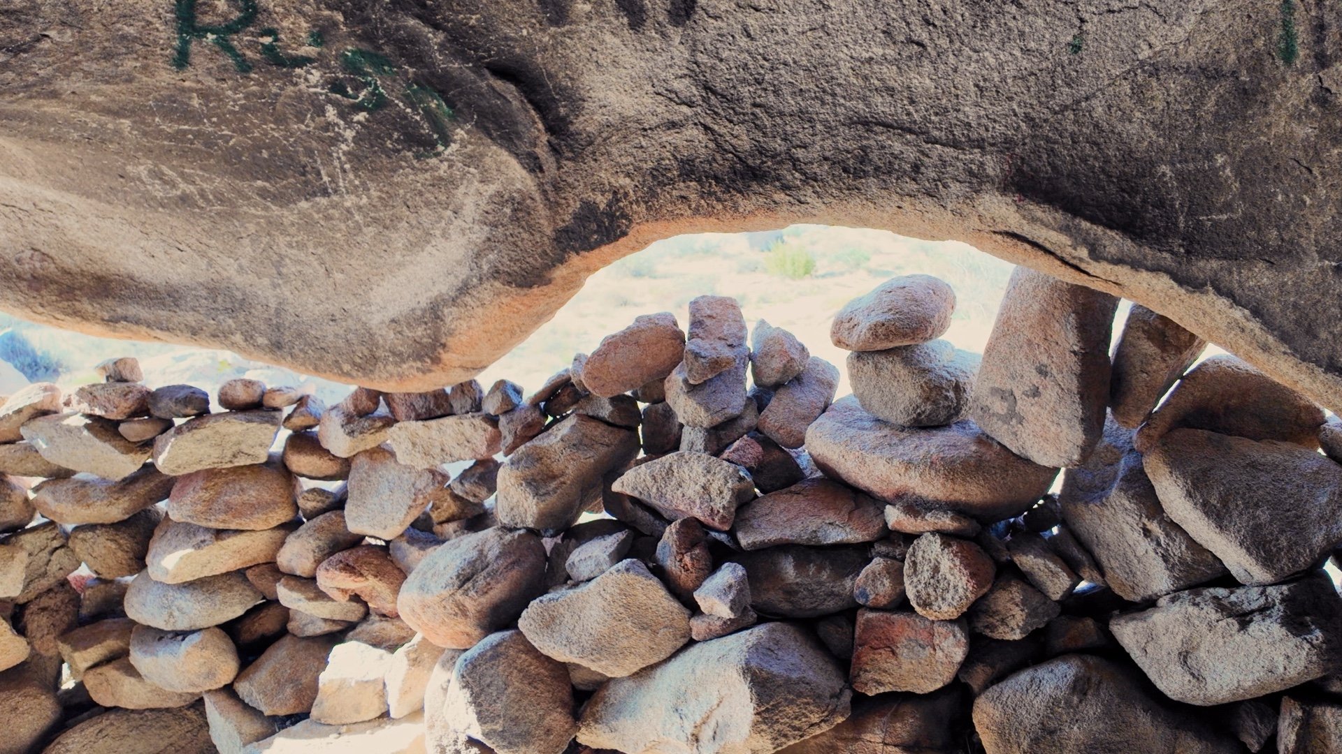
An old BLM web page has this description of Smuggler's Cave: "A natural hollow in one of the boulders is known as Smugglers Cave. Many tales have been told about the cave. The earliest account ties the cave to the December 1875 holdup at the old Campo Store. According to this story, one of the bandits was wounded and chased by a posse to Smugglers Cave, where he was flushed out and finished off. Other accounts involve the smuggling of Chinese laborers and contraband across the Mexican border to the cave at the turn of the century."
In recent years, the area around Jacumba Hot Springs and the Valley of the Moon has been a hotspot for human trafficking. Activity had slowed down considerably when I documented this guide, but there have been times in the past when it was very active.
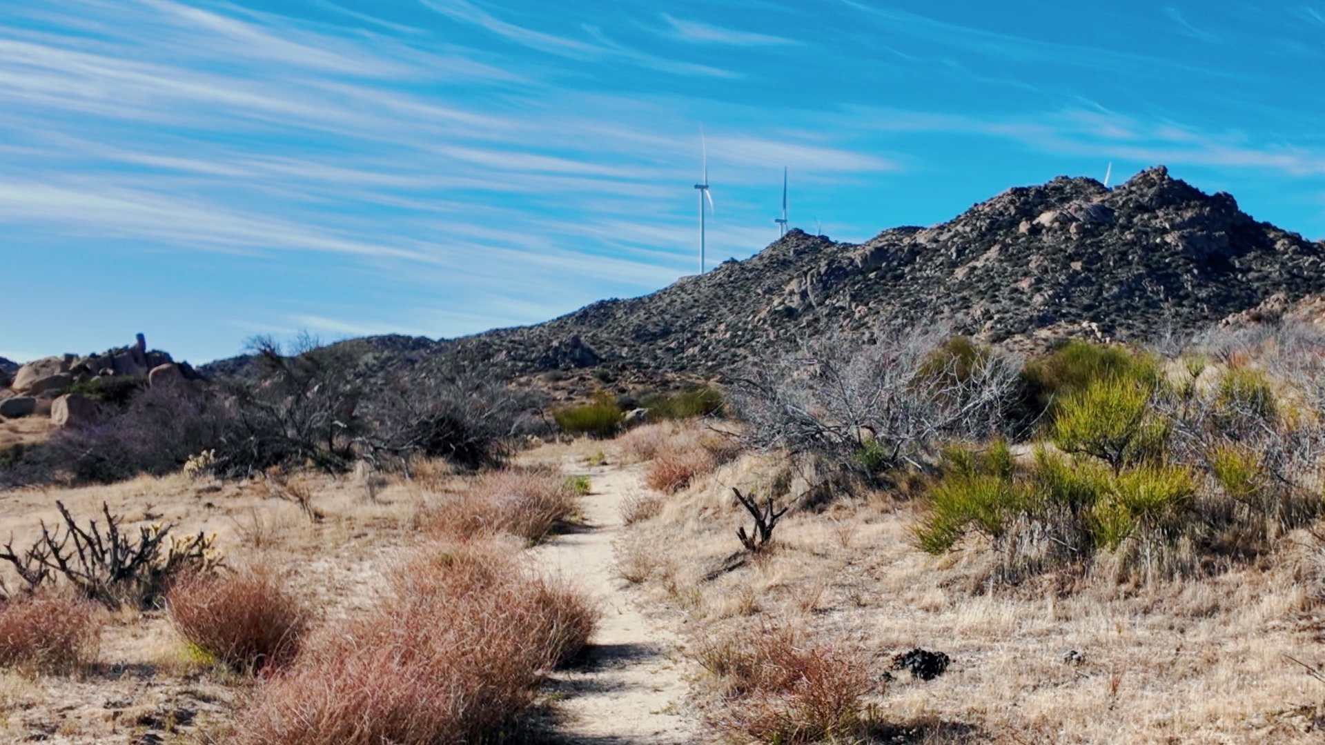
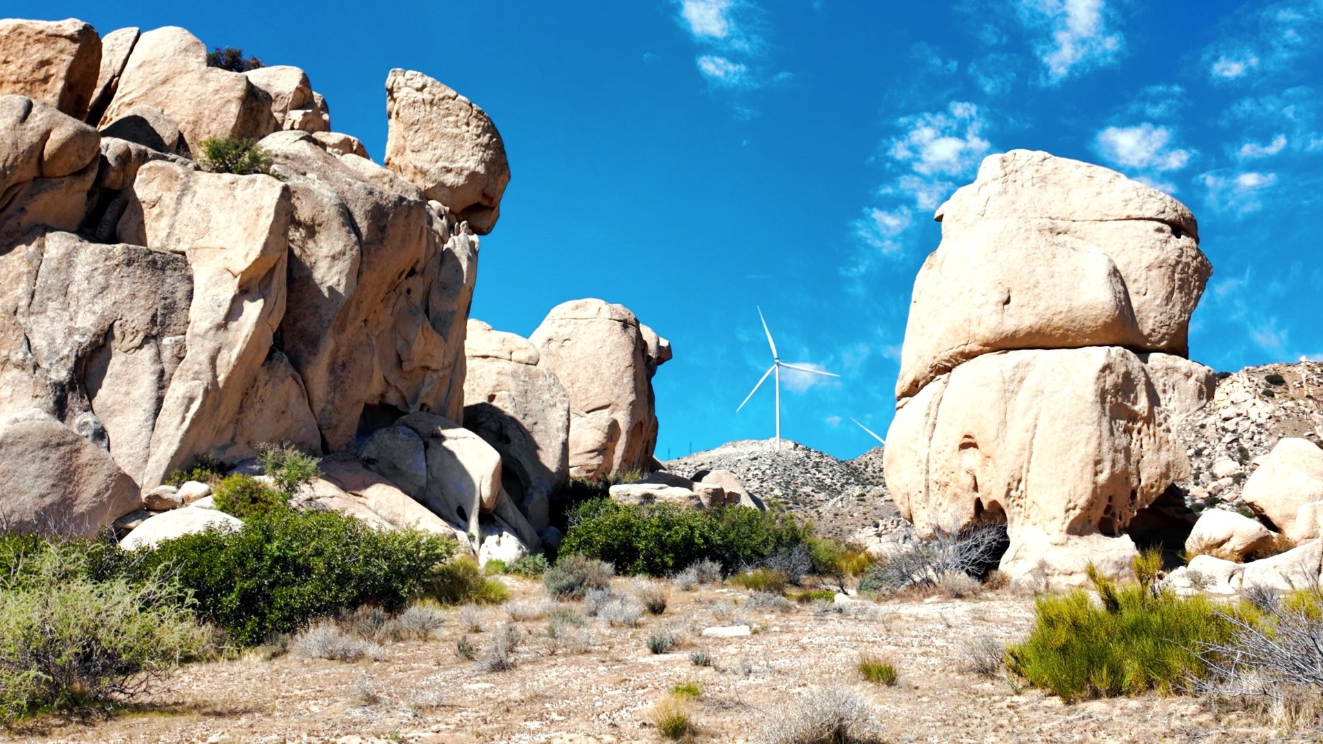
The wind turbines, called La Rumorosa I, supply power to nearby Mexicali. Other turbines in the area also supply power to the United States. According to the Border Energy Forum, the La Rumorosa region has the second-highest wind energy potential in Mexico.


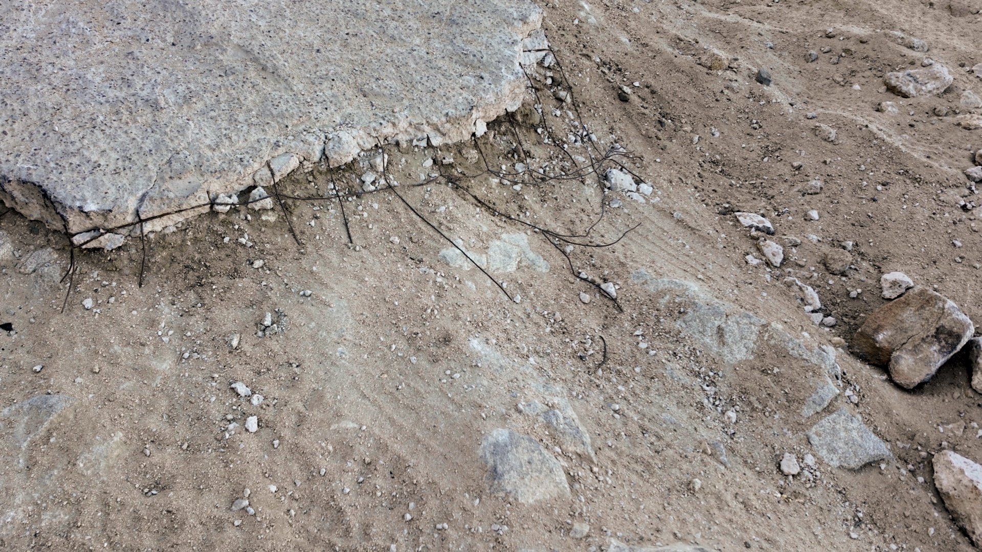
The BLM warns: Entering mines or mine shafts is dangerous. Poison air and cave-ins can and do occur.
When you're done at the top of the peak and at the mine area, continue back down on the trail you came up earlier.
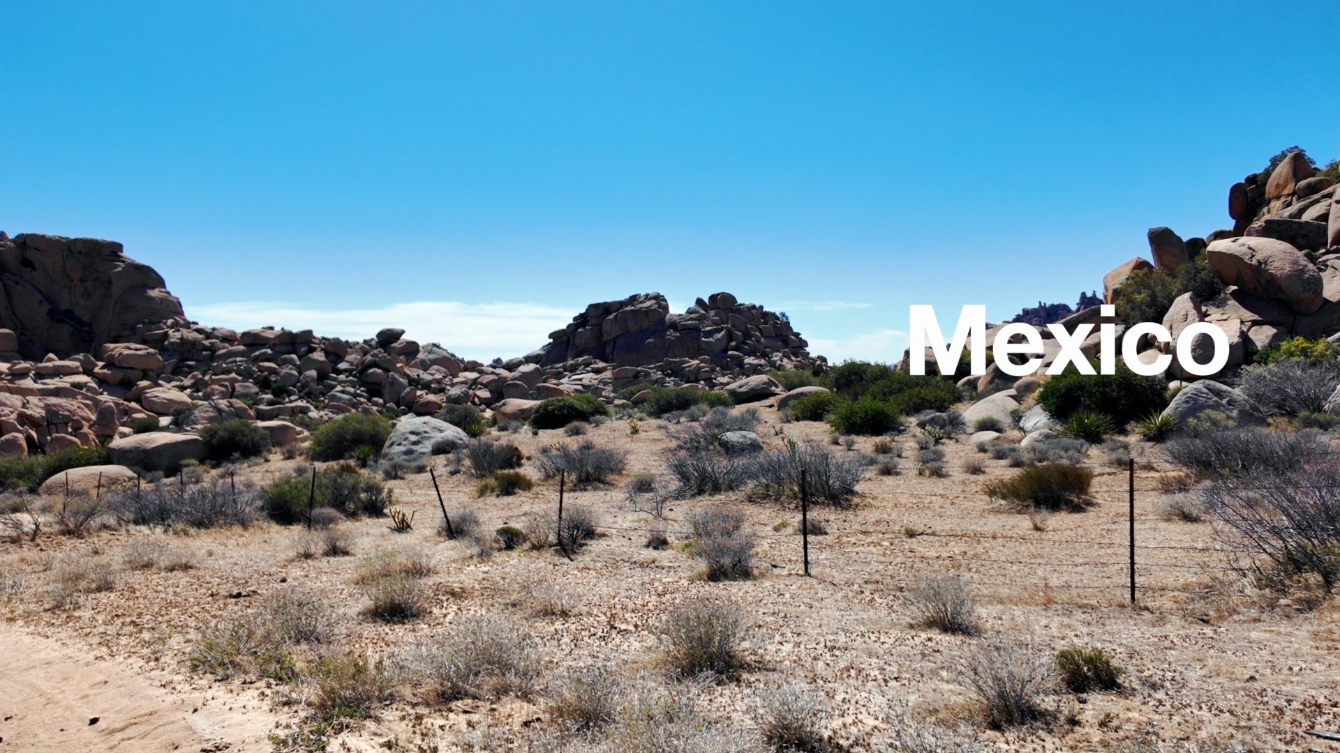
The actual border lies a short distance back from the fence. This area is in a state of change — new border wall construction has been approved, although I'm not positive if it affects this exact spot. The government has also been sending troops to the border, and this area could be closed to hikers at some point. As I mentioned earlier in the guide, it's important to do your homework before showing up here.
Desert View Tower Side Trip

The real estate developer who built Jacumba also built this tower in 1922. It was originally built as a roadside attraction with a restaurant and gift shop. Today, it still stands and is listed on the National Register of Historic Places.