Calico Tanks Trail
Hike Stats
- Total Distance
- 2.5 miles
- Time
- 1-2 Hours
- Total Climbing
- 400 feet
- Difficulty
- Easy
- Crowds
- Crowded
- Dogs
- Leashed
- Gear
- What I Use
- Weather
- Latest Report
- Park
- Red Rock Canyon
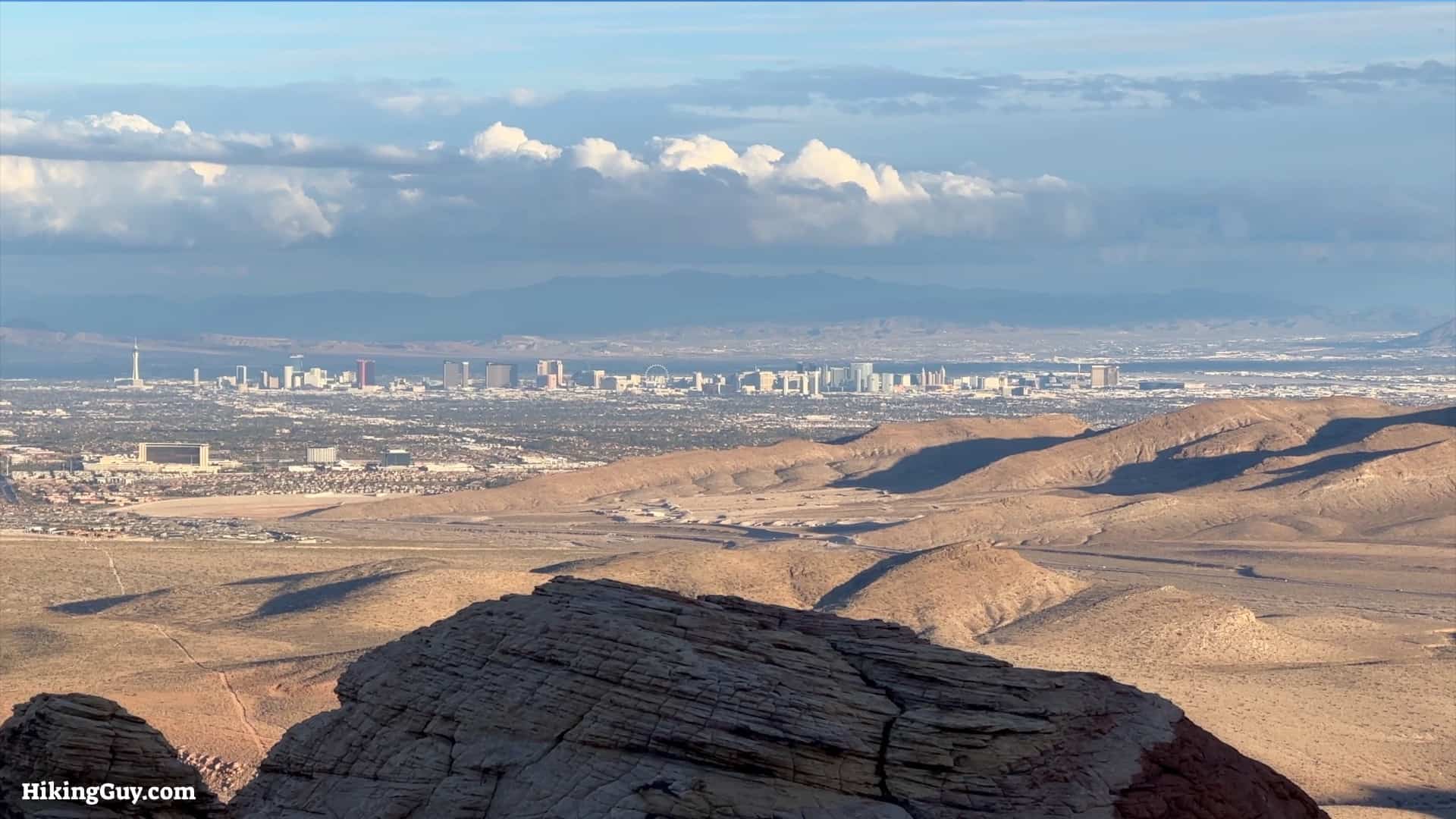
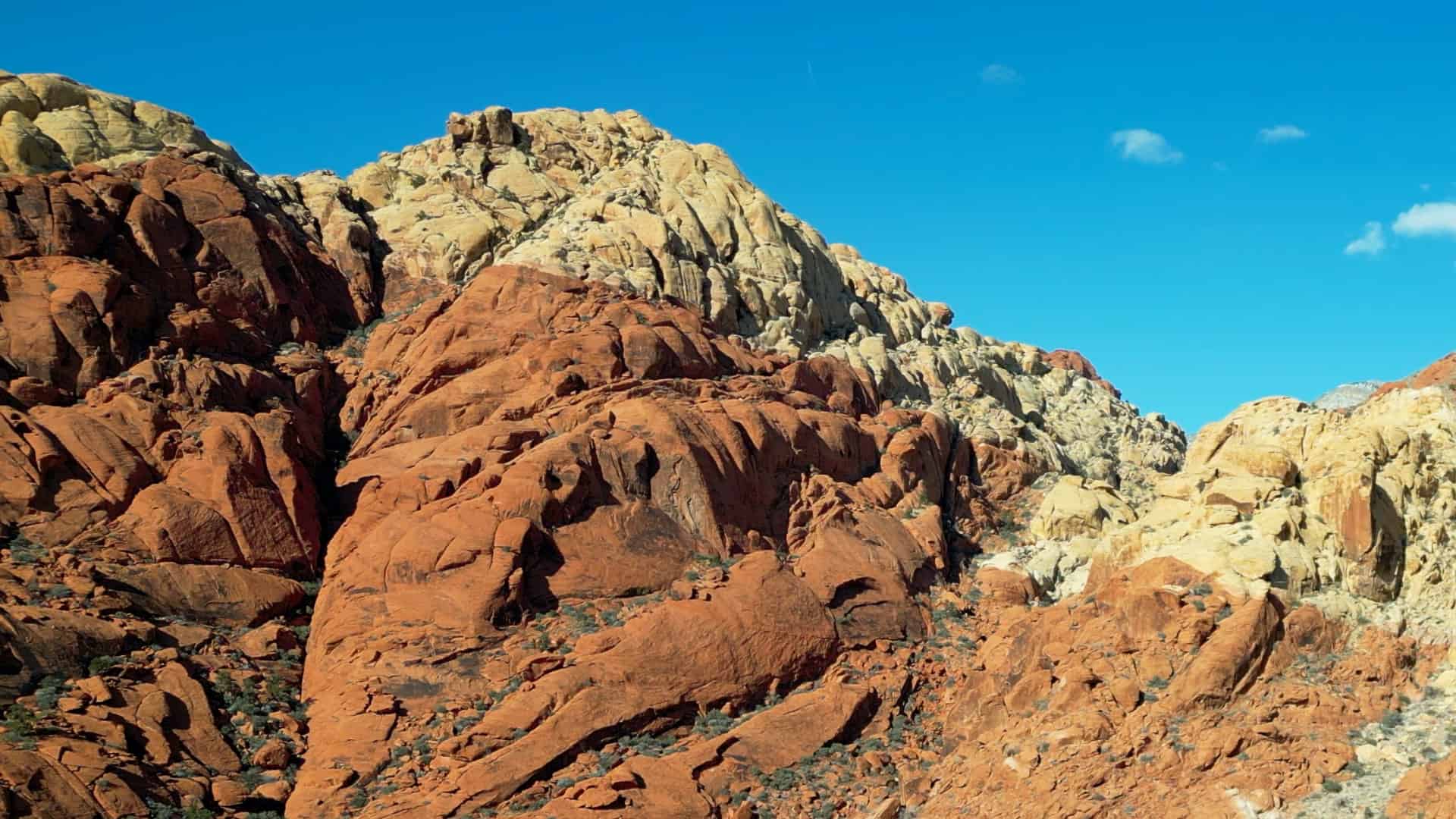
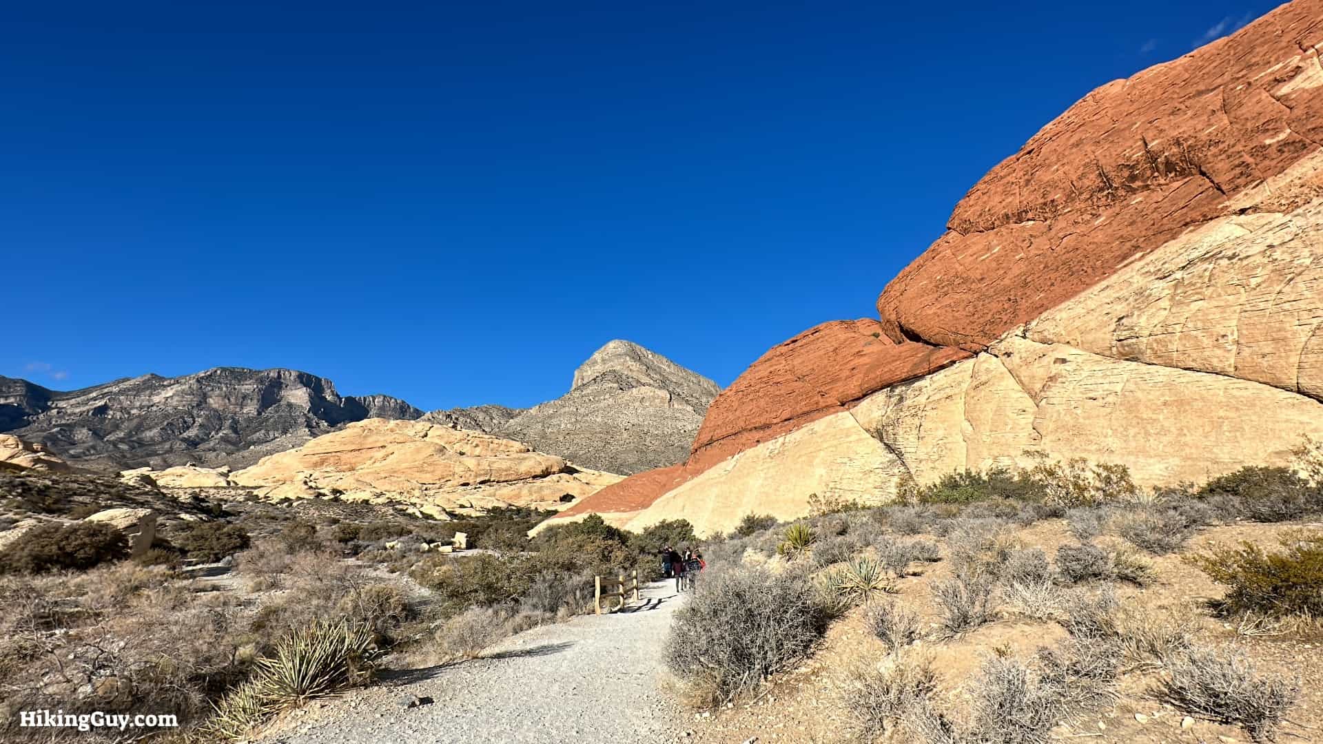
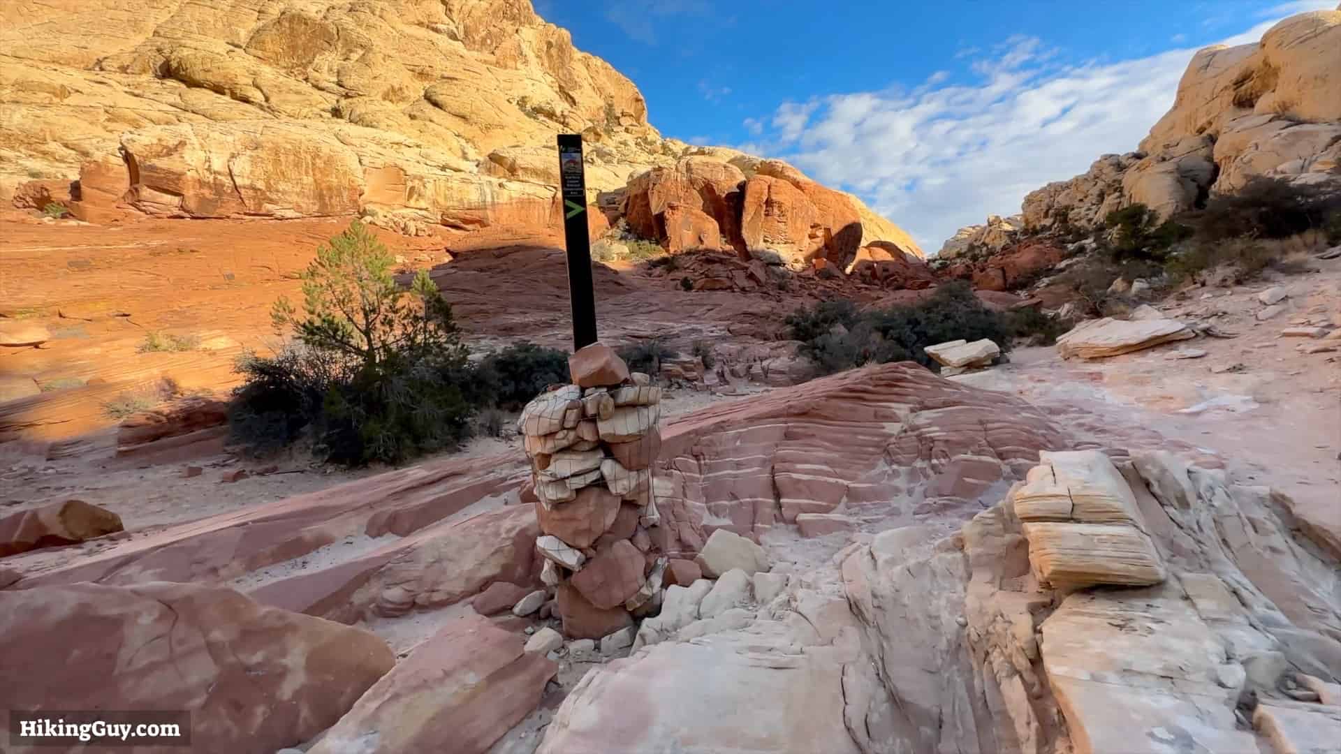
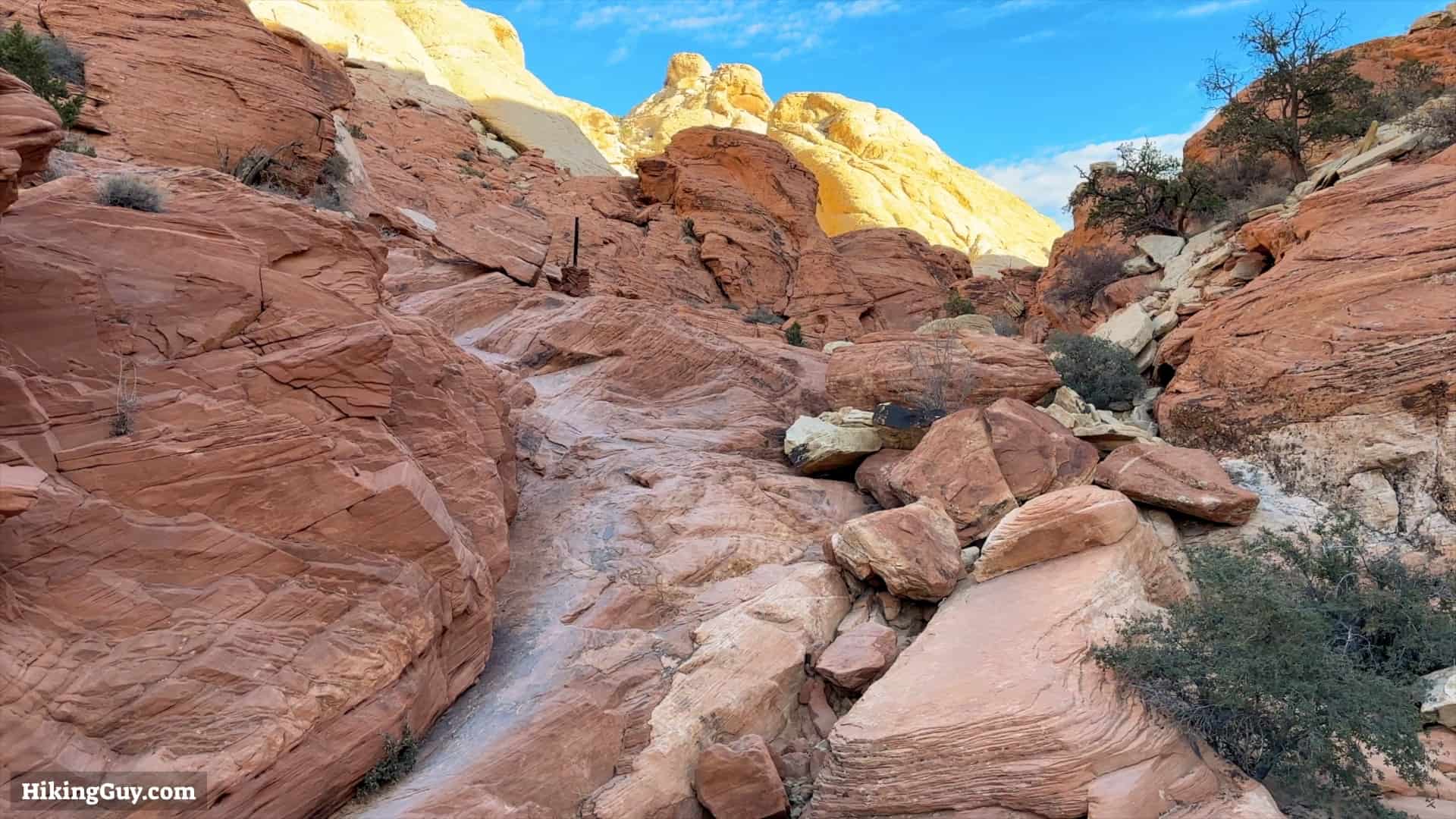
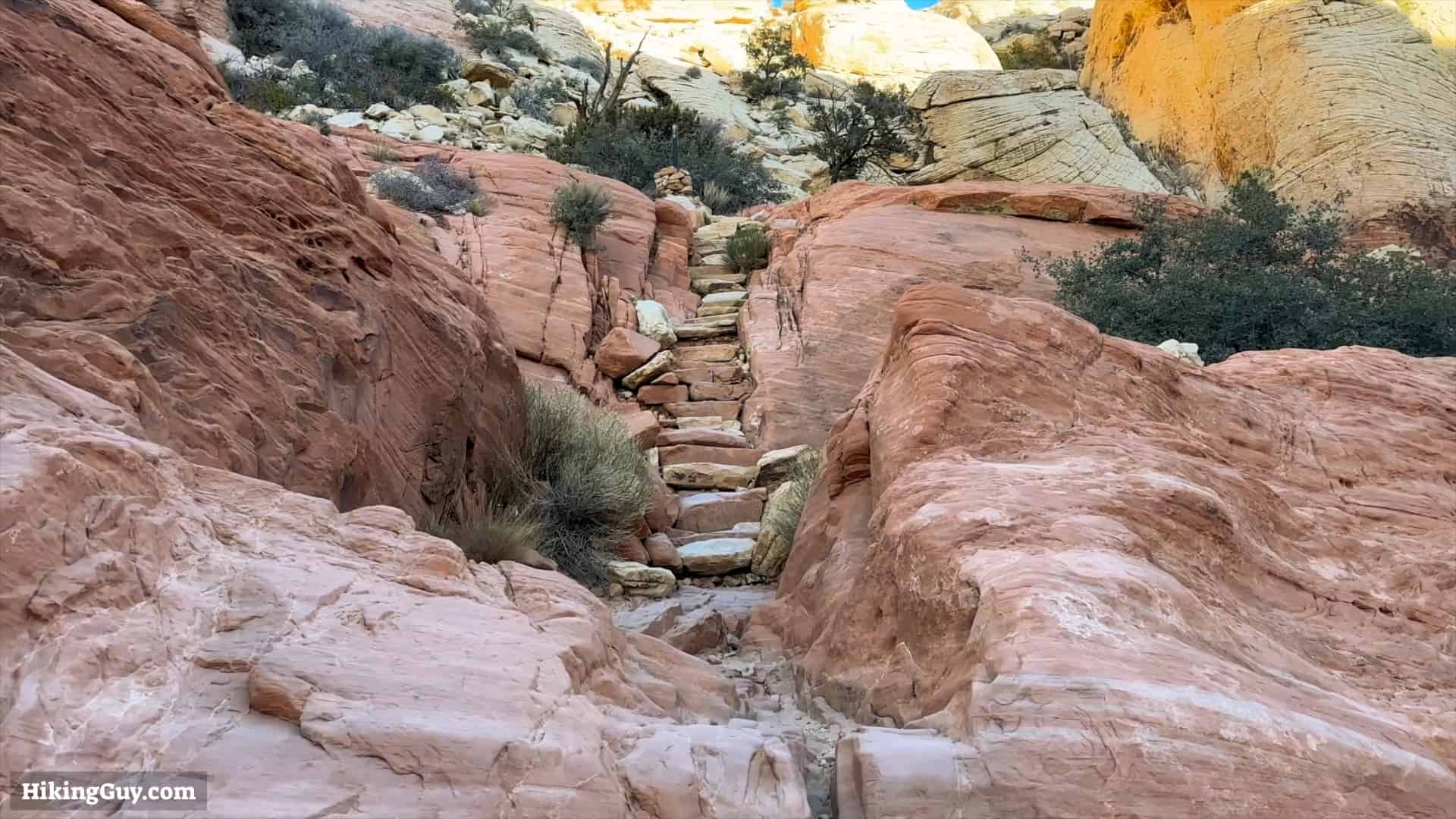
The Calico Tanks Trail hike is the most popular in Red Rock Canyon. The scenery is spectacular–red, orange, and yellow sandstone formations with mountains towering above you. At the end of the hike is a watering hole (the Calico Tank) with views of Las Vegas. It's challenging without being too difficult and suitable for all skill levels. It's a nice change of pace from the Las Vegas strip.
How To Get To the Calico Tanks Trail
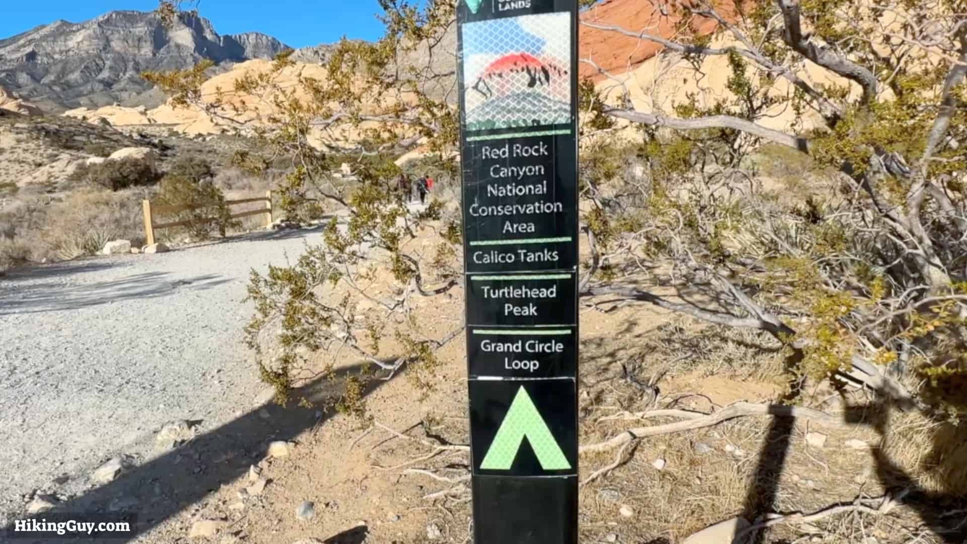
Calico Tanks is one of the numerous hikes in Red Rock Canyon National Conservation Area, which the Bureau of Land Management runs. The hike is reached by driving around the (one-way) Scenic Drive. You must get a timed entry for Red Rock Canyon at some points in the year, so check the Recreation.gov website before you go. You don't have to pay an entry fee if you have a National Parks Pass.
Red Rock Canyon is Nevada's first National Conservation Area.
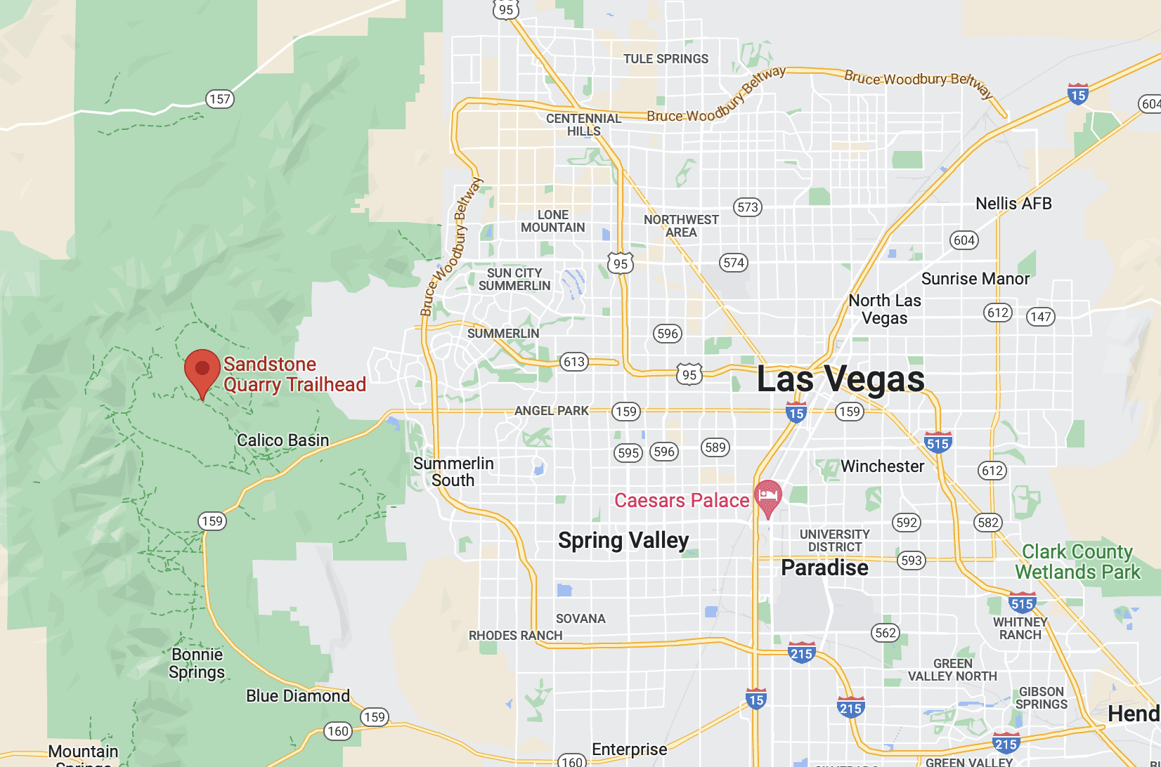
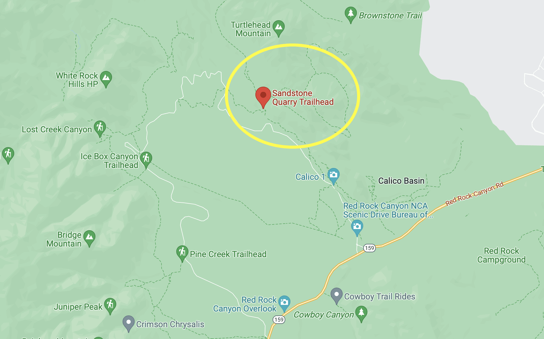
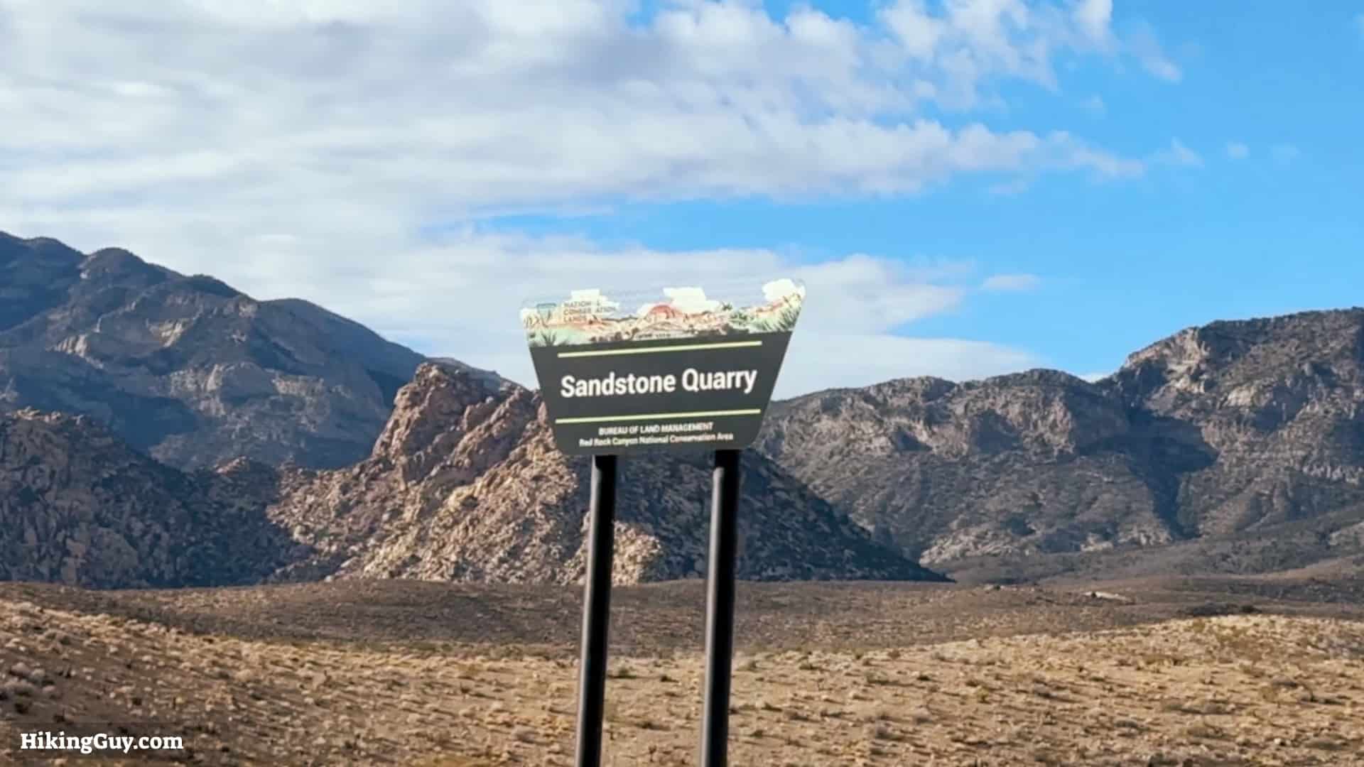
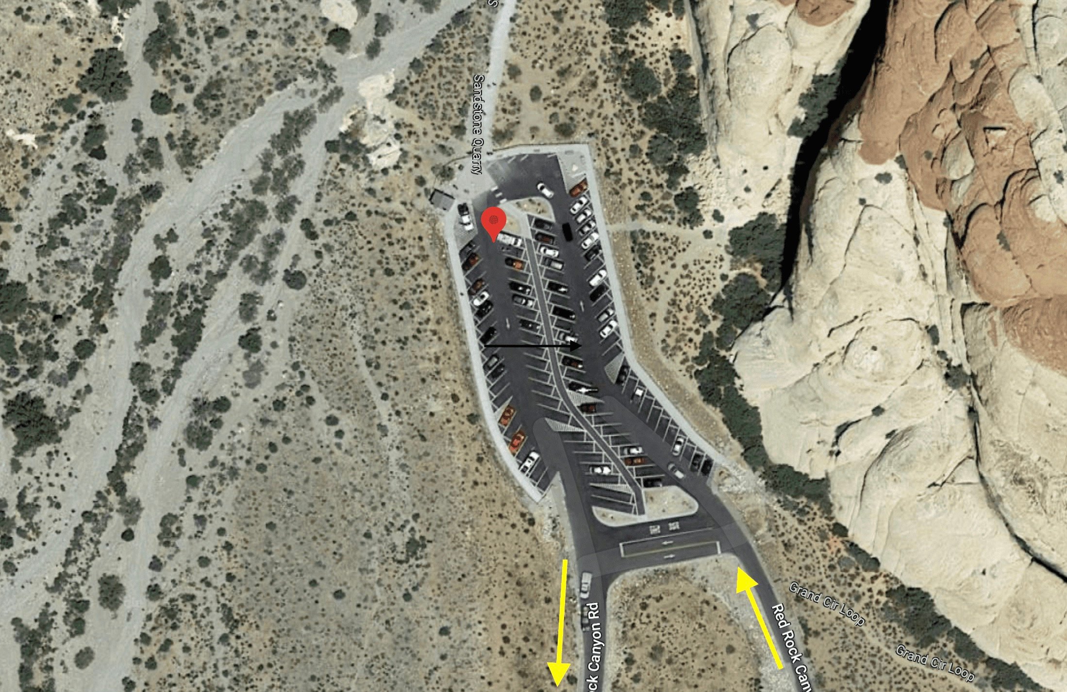
The Calico Tanks hike trailhead is about 3 miles past the Red Rock Canyon visitor center, at the Sandstone Quarry Trailhead. Use this trailhead address: Sandstone Quarry Trailhead, Red Rock Canyon, Las Vegas, NV 89161
Come early to beat the crowds. It's the most popular hike in the park.
Preparing For The Hike
The Calico Tanks Trail hike is in the Mojave Desert, the summers can be dangerously hot, and the winters can be cold. So prepare appropriately and bring plenty of water either way. Otherwise, fitness clothing is fine; you don't need any specialized hiking gear.
There's poor cell phone reception in the park, take your satellite communicator if you have one.
Don't hike Turtlehead Peak when the temperatures are high. It's strenuous and you risk heat stroke.
Essentials I’m Using Now
- Garmin inReach Mini 2: Reliable SOS Everywhere on Earth
- Sawyer + CNOC Water Filter: Easy & Reliable Safe Water
- Nitecore NU25 Headlamp: Running late? Get home safe
- Altra Olympus 275: Favorite trail shoes right now, no blisters and very comfy.
- AllTrails Plus (30% off): Offline maps on your phone with the Plus level
- Full December 2025 Gear List →
Calico Tanks Trail Maps
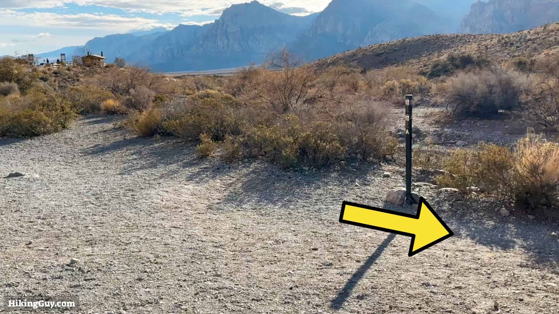
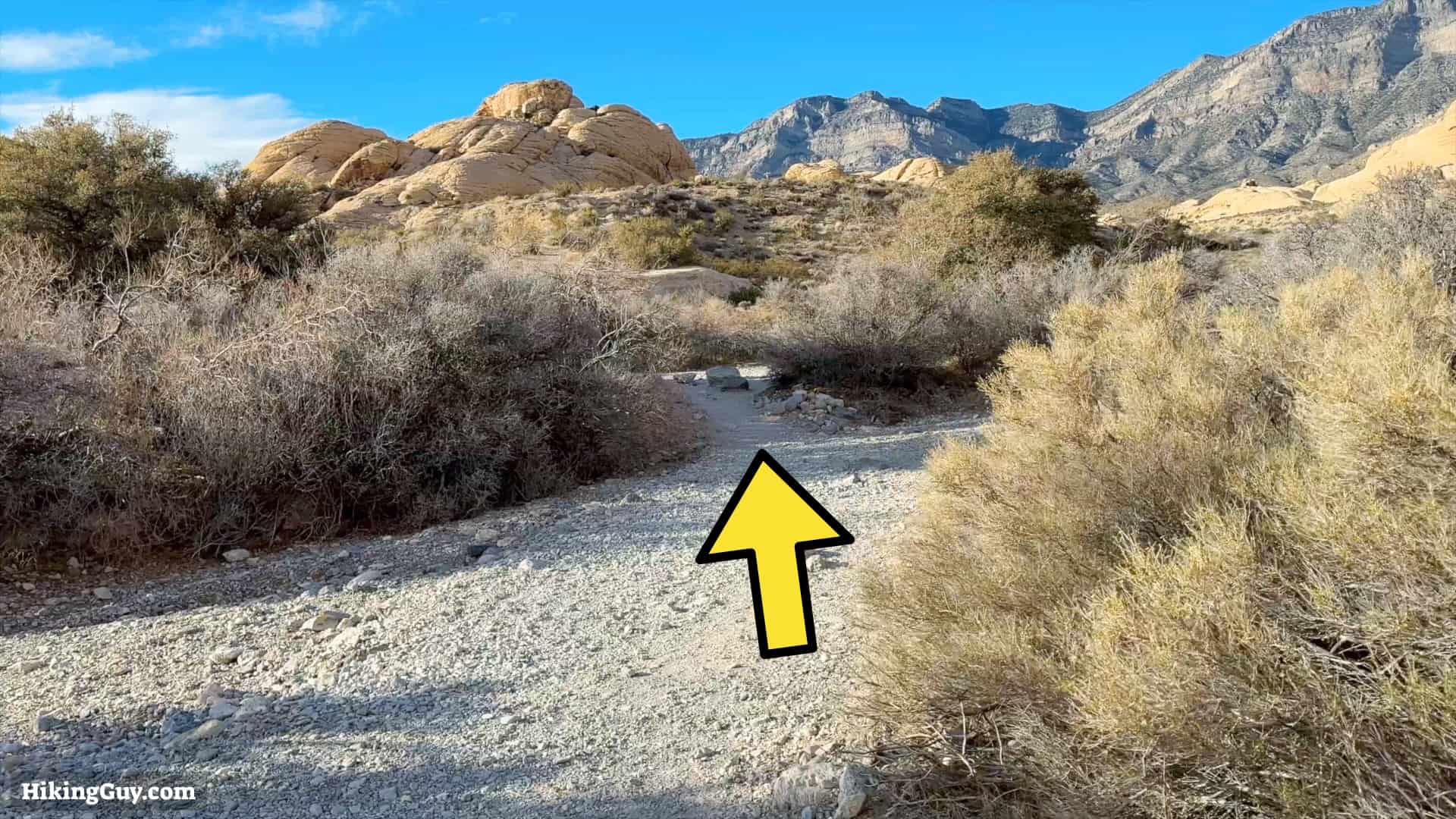
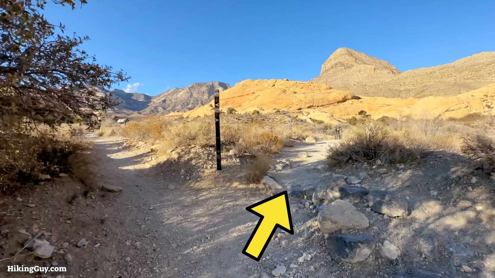
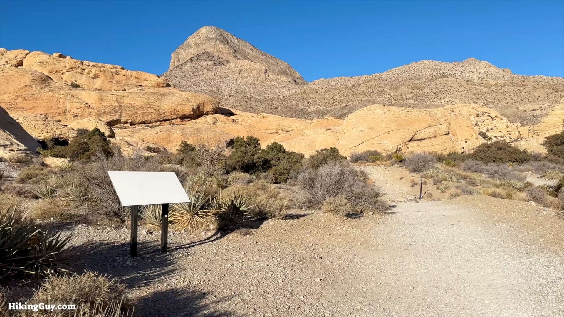
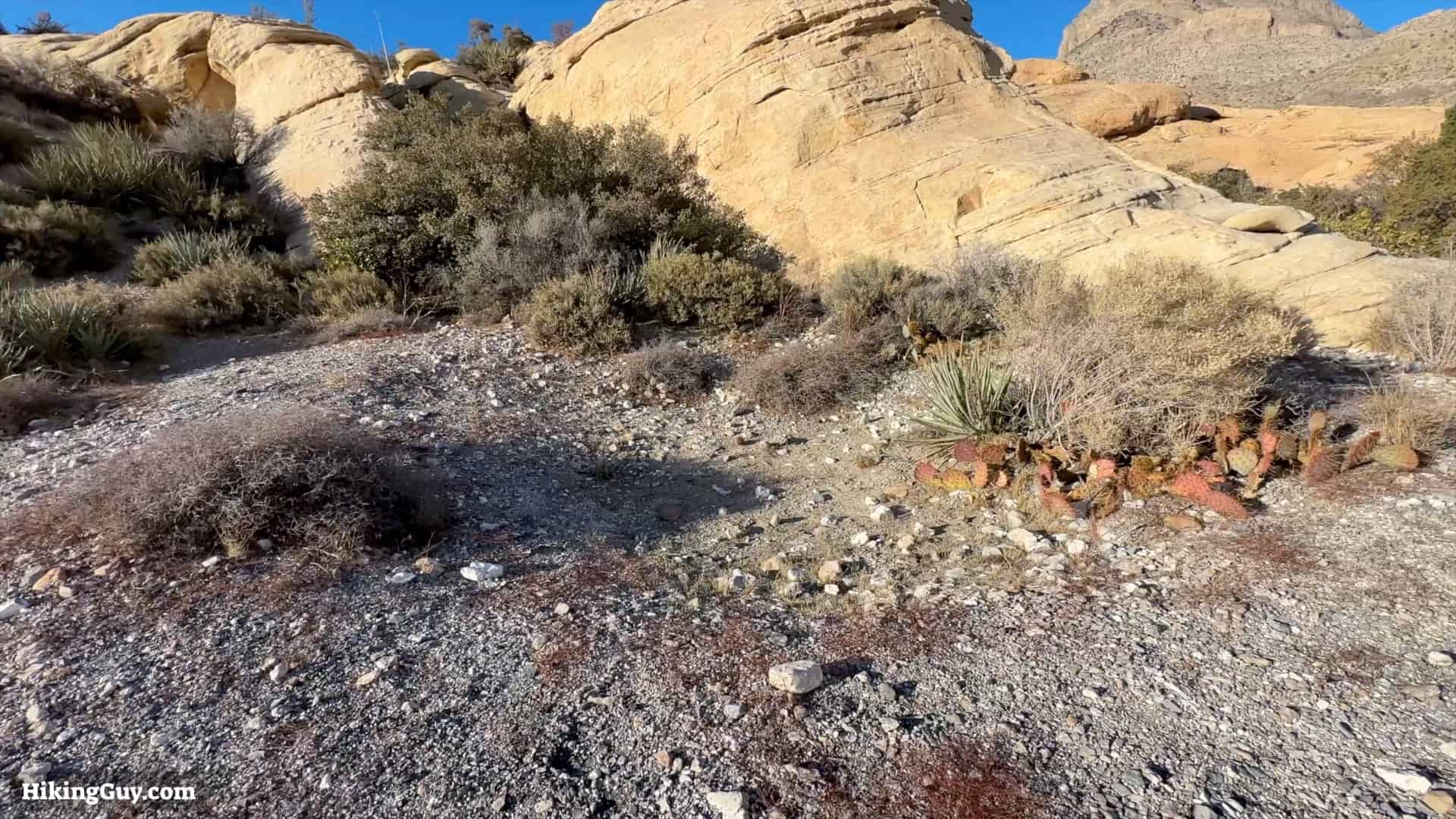
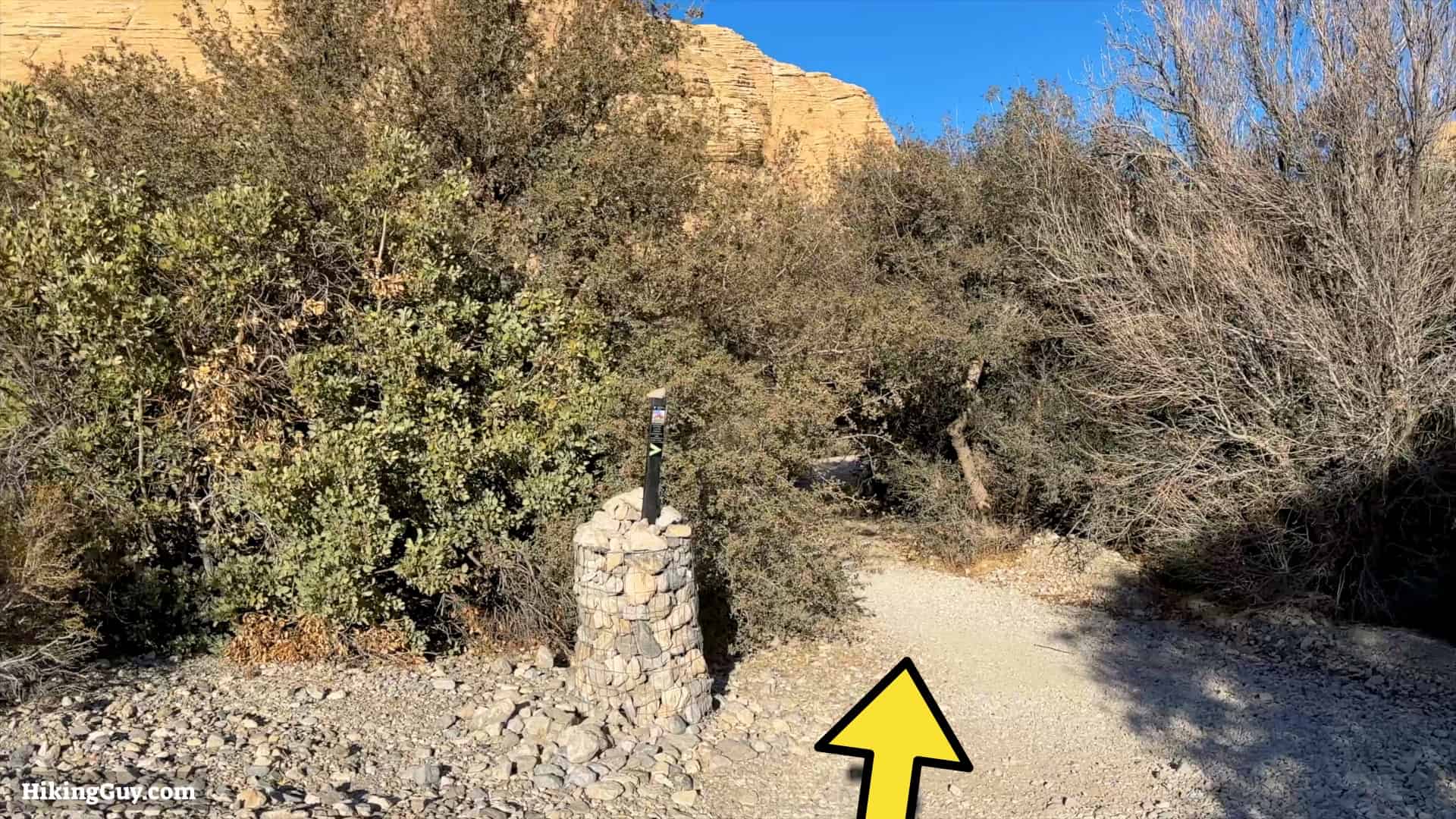
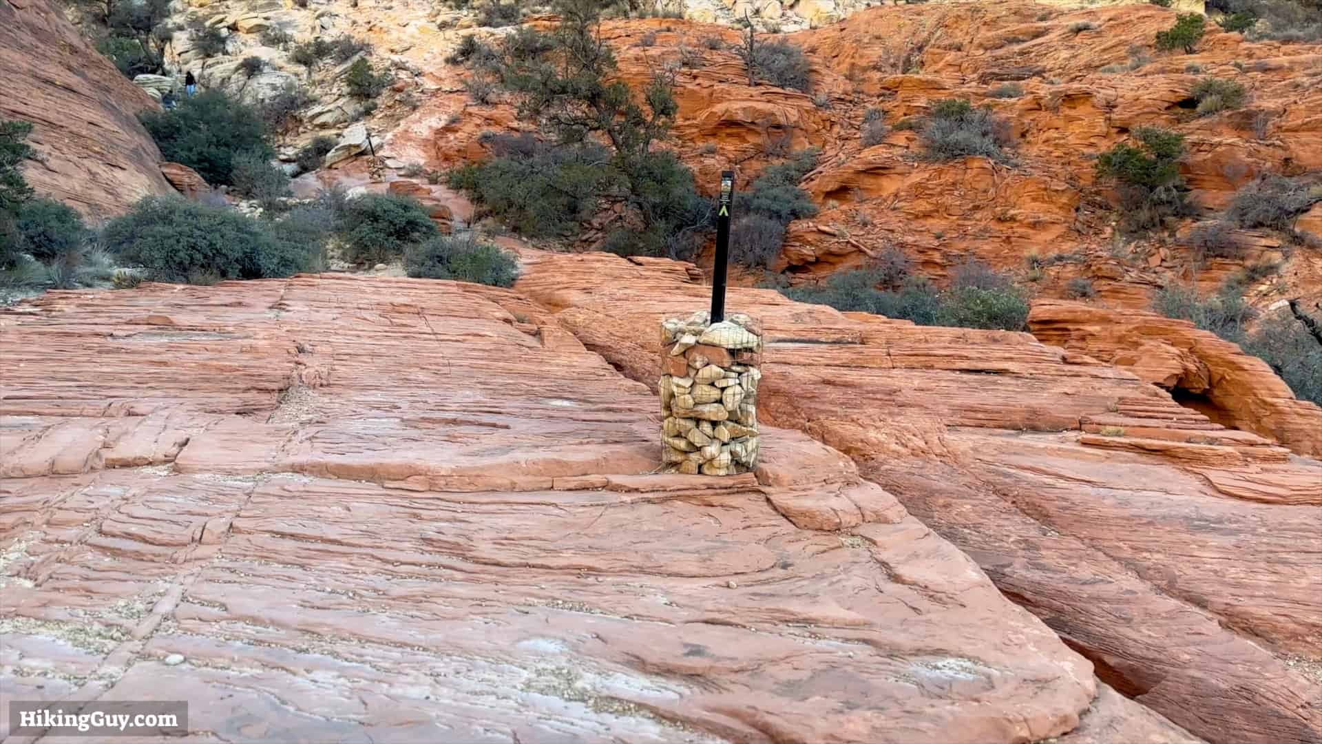
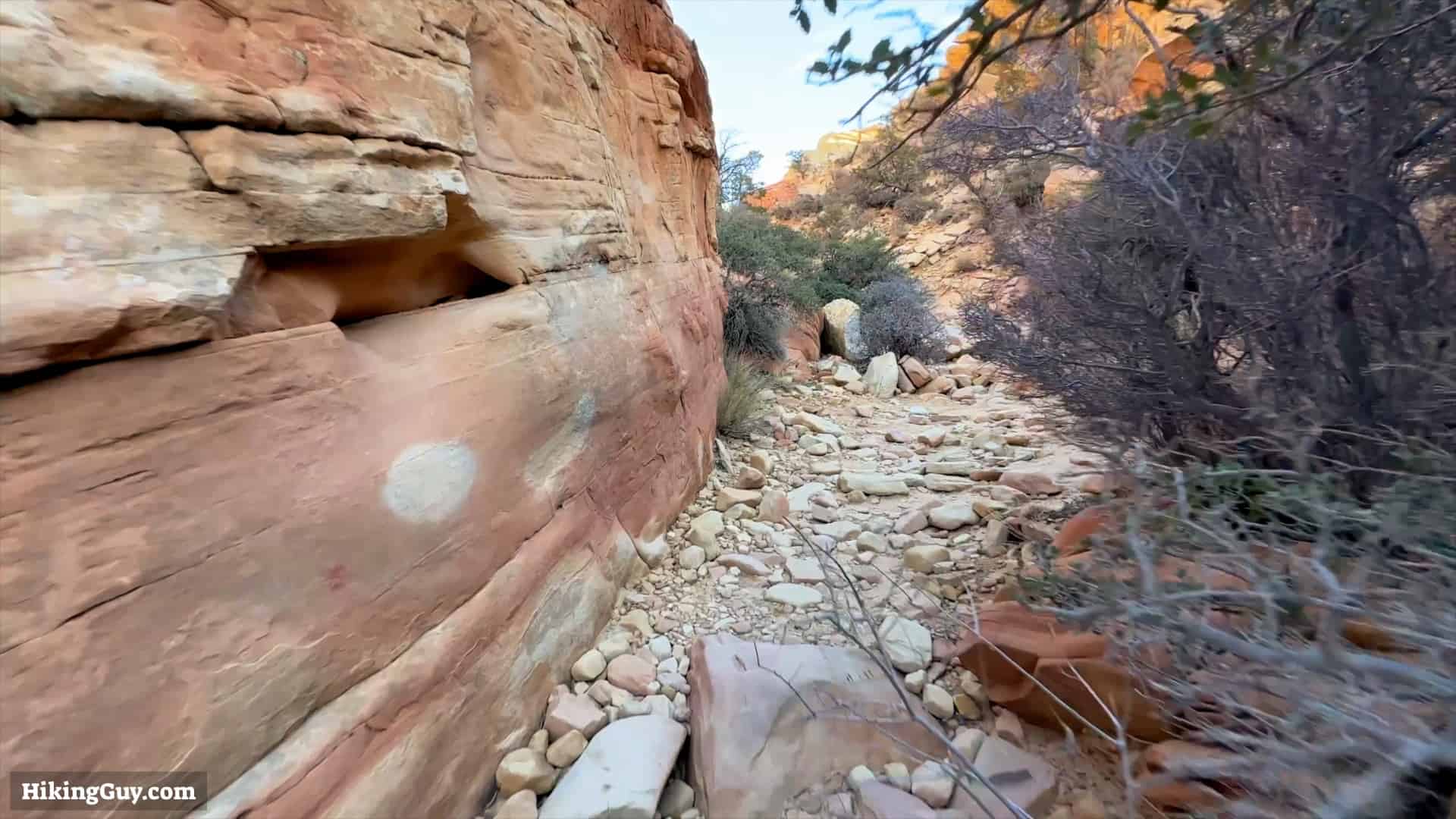
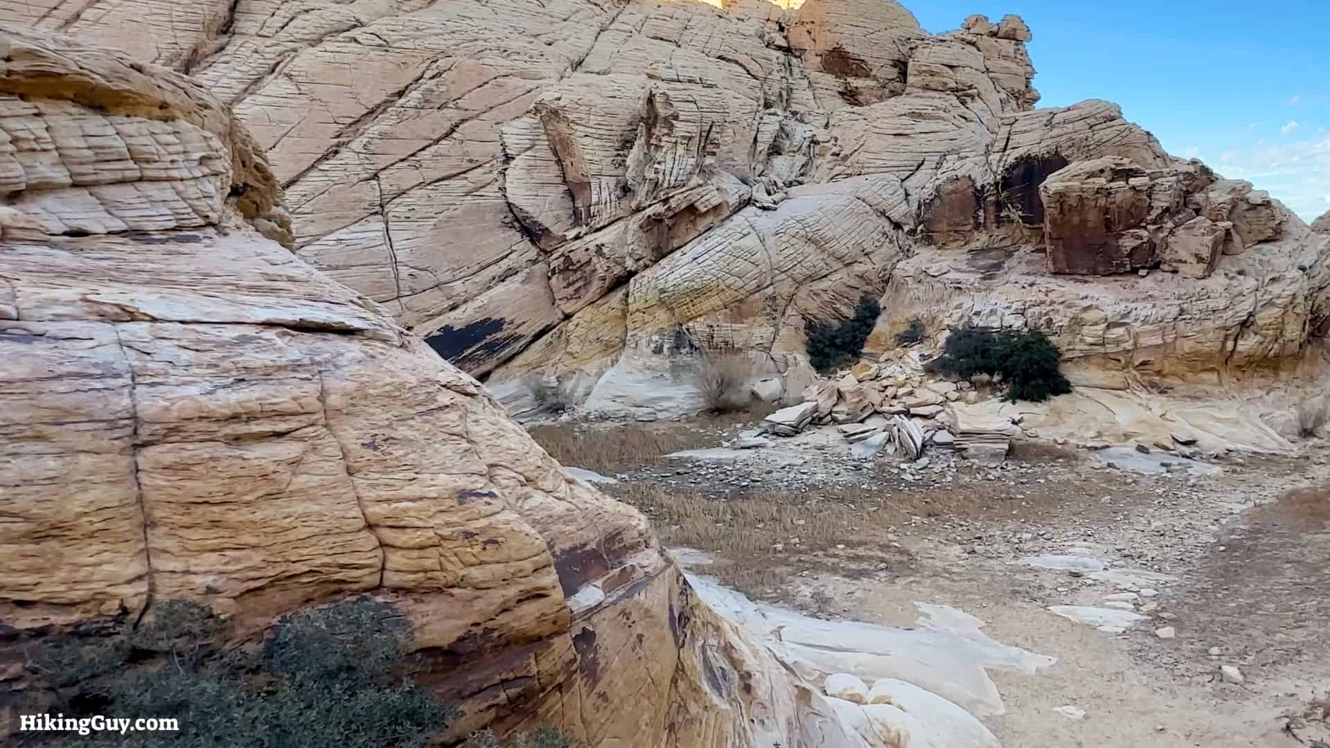
Calico Tanks Trail Directions

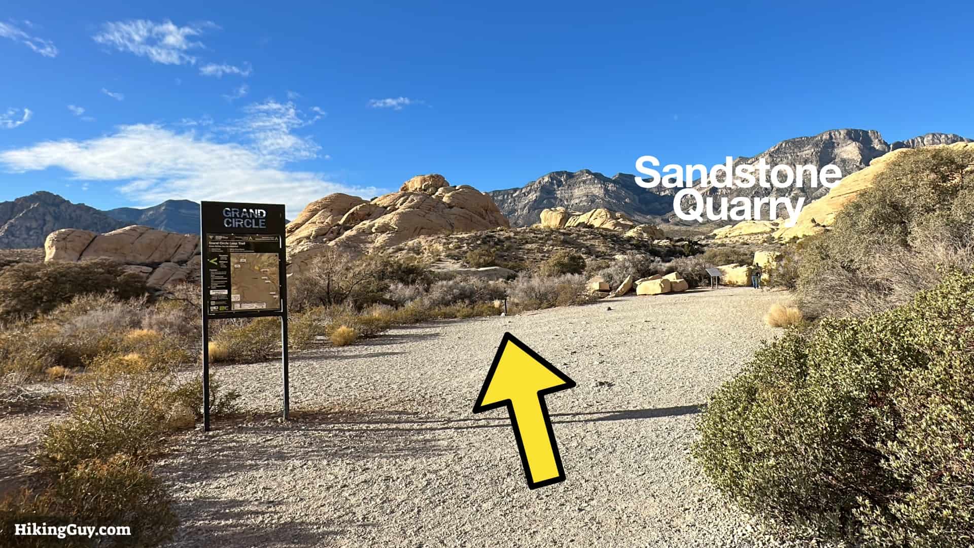

The sandstone quarry operated from 1905-1912. One of the reasons why it went out of business was because the tractor used to haul it into Vegas, nicknamed the "big devil wagon," burned 400 gallons of crude on each trip.
The native Southern Paiute would roast whole agave in ground pits for several days. The roasted agave has a sweet taste, somewhere between a cooked pumpkin and sweet potato.
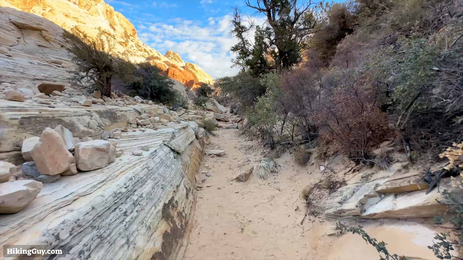

The Aztec Sandstone you see around you dates back to the Jurassic Period, about 180-190 million years ago, when the t-rex roamed the earth. Speaking of which, dinosaur footprints have been found in the park, but they're not viewable to the public. The rock is red from the minerals oxidizing, just like rust.

Tank comes from the Spanish word for jar, "tinaja," and refers to a water catchment. In this shot its dry, but in the Spring it's usually filled with water and an essential resource for wildlife.