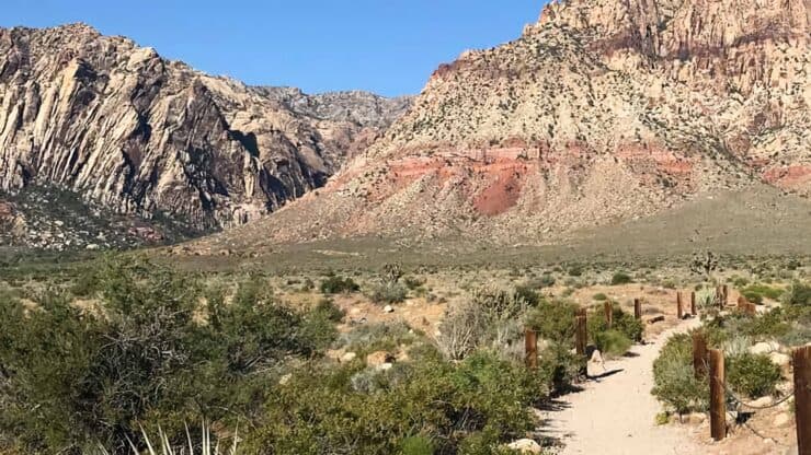

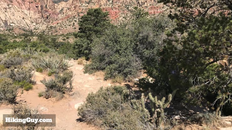
The First Creek Canyon Trail hike brings you up along First Creek, through heavily vegetated Mojave Desert scrub, with striking cliffs as a backdrop, and offers a side trip to a hidden waterfall and plunge pool. I often recommend this hike for those looking for a pleasant hike that doesn't involve too much effort. The First Creek Canyon Trail hike is in Red Rock Canyon park, but outside of the fee area and 13-mile loop drive, so it's free and easy to get to.
- How to Find the Hidden Waterfall
- Turn by Turn Hike Directions & Video
- Parking Info & Directions
- Other Fun Hikes in Red Rock Canyon
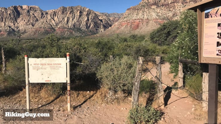
How to Get To First Creek Canyon Trail
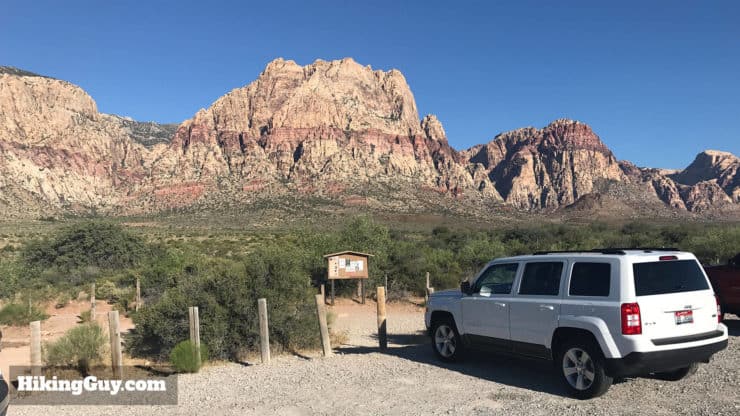
The trailhead address is: First Creek Trailhead, Las Vegas, NV, 89161, USA. It's about a 35 minute drive from the Las Vegas strip.
Parking is free and the lot is large. Overflow parking is along the road.
There are no bathrooms at the trailhead or on the hike, but you can drive a few miles down the road to the Red Rock Visitor's Center for bathrooms and refreshments.
What You Need For the Hike
This is a pretty easy hike, and you don't really need any special hiking gear for it, fitness gear will do the trick. It can get hot in the summer, bring plenty of water either way.
There’s poor cell phone reception in the park, you you might want to take an emergency beacon if you have one.
Gear That I Love Right Now
Nothing is sponsored or promoted, just the actual gear that I use.


Insider Tips For the Hike
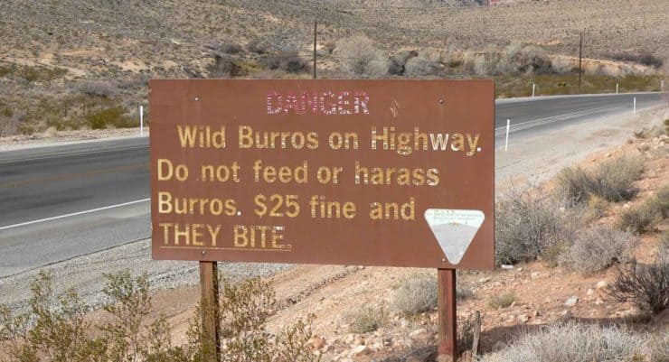
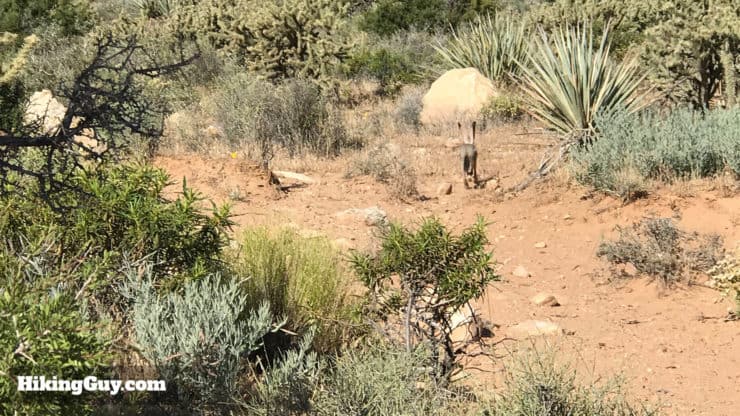
- Keep your eyes open for the desert tortoise and wild burros, which are pretty tough to spot. Easier to spot are desert hares and ground squirrels. First Creek is a water source for many animals so you have a decent chance to spot something.
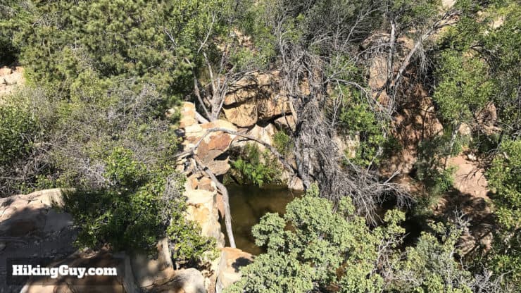
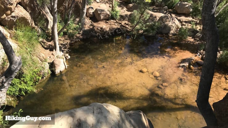
- The waterfall is often dry, but it's still impressive.
- The pool at the bottom of the waterfall is a popular spot to see wildlife. It's also a nice swimming hole.
- First Creek Canyon Trail is a popular dog walking hike with the locals. Keep your eyes open for dog poop, coyote poop, burro poop, well, let's just say poop.
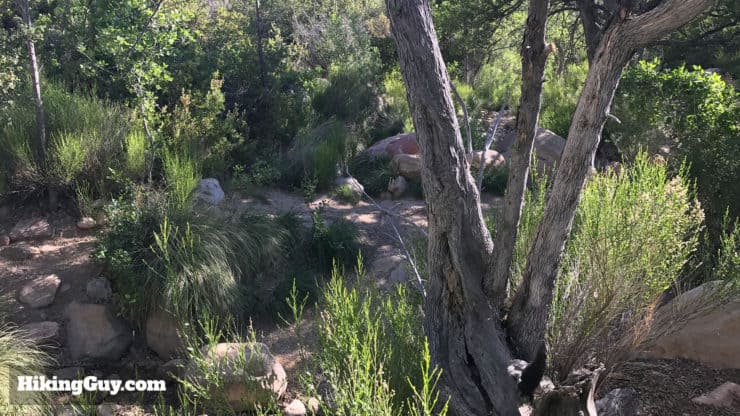
- Stay on the main (large) trail. There are some small burro trails that crisscross the main trail.
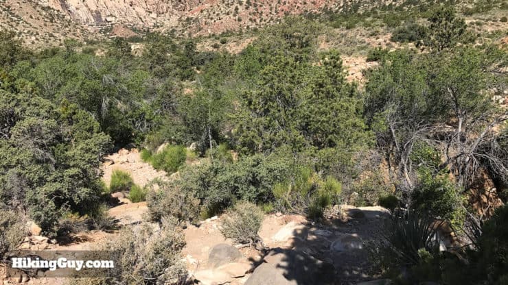
- You can continue past the waterfall if you want to lengthen the hike. The trail splits apart and reforms many times, with two options, one down by the creek, and one on the ridge above. You might see some rock climbers heading to the cliff walls farther down. The trail gets more primitive as you continue.
First Creek Canyon Trail Maps
How Will You Navigate?
 Using the Apple Watch for Hiking
 Garmin Fenix 7 & Epix Review For Hikers
 How To Read a Topographic Map
 Garmin GPSMAP 67i Review
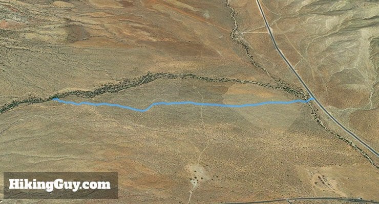
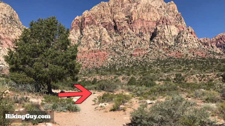
First Creek Canyon Trail Directions
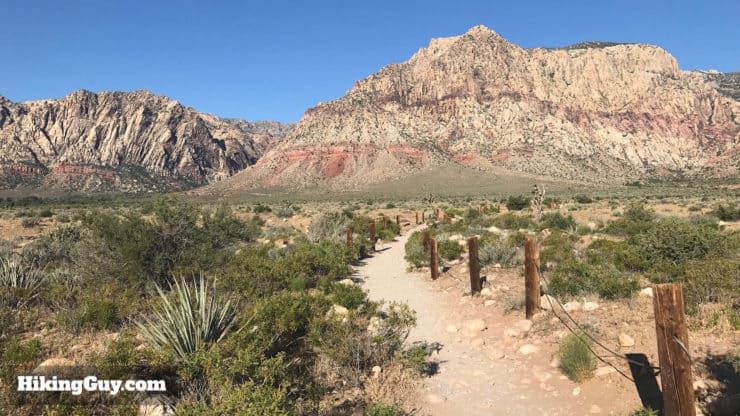
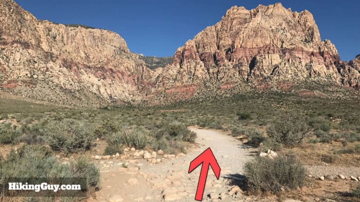
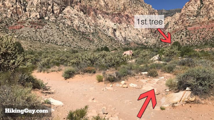
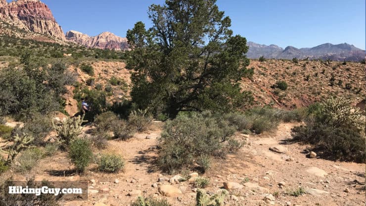
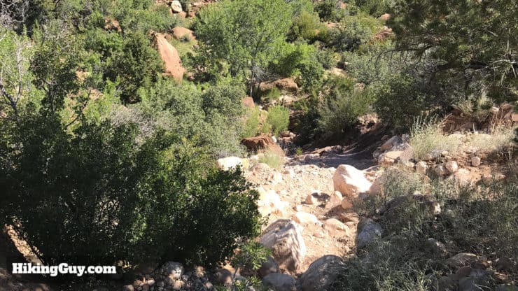
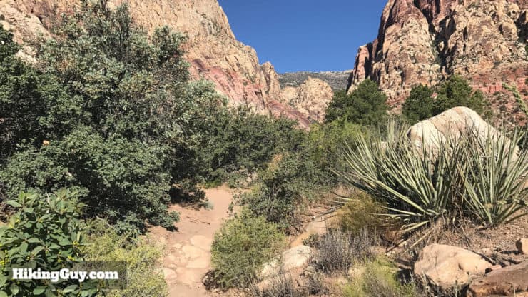
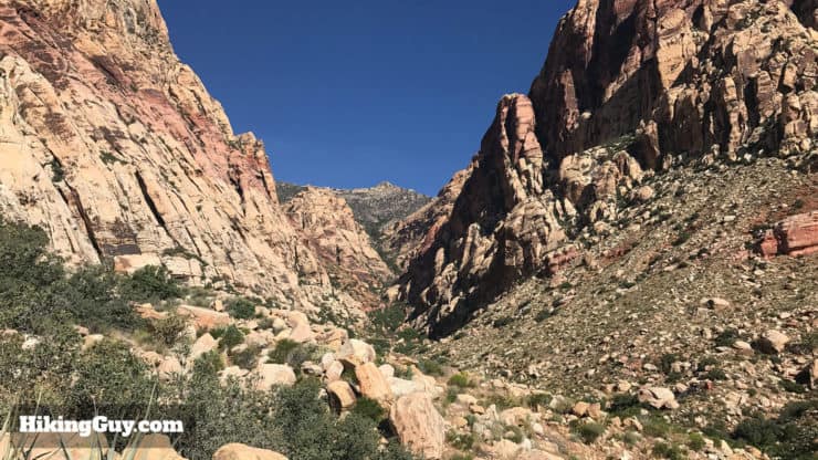
From here, you just head back the way you came. However, you can continue on the trail to make this a 3 mile round trip. The following pictures are from farther down the trail. Also note that as the trail continues, it splits and comes back together often. Unless you direction veers drastically away from the path of the creek, you're probably fine.
Need More Info?
- Have a question about the guide or want to see what other people are saying/asking? View the Youtube comments for this video. Leave a comment and I will do my best to respond.
- When planning, always check the park website and social media to make sure the trails are open. Similarly, check the weather and road conditions.
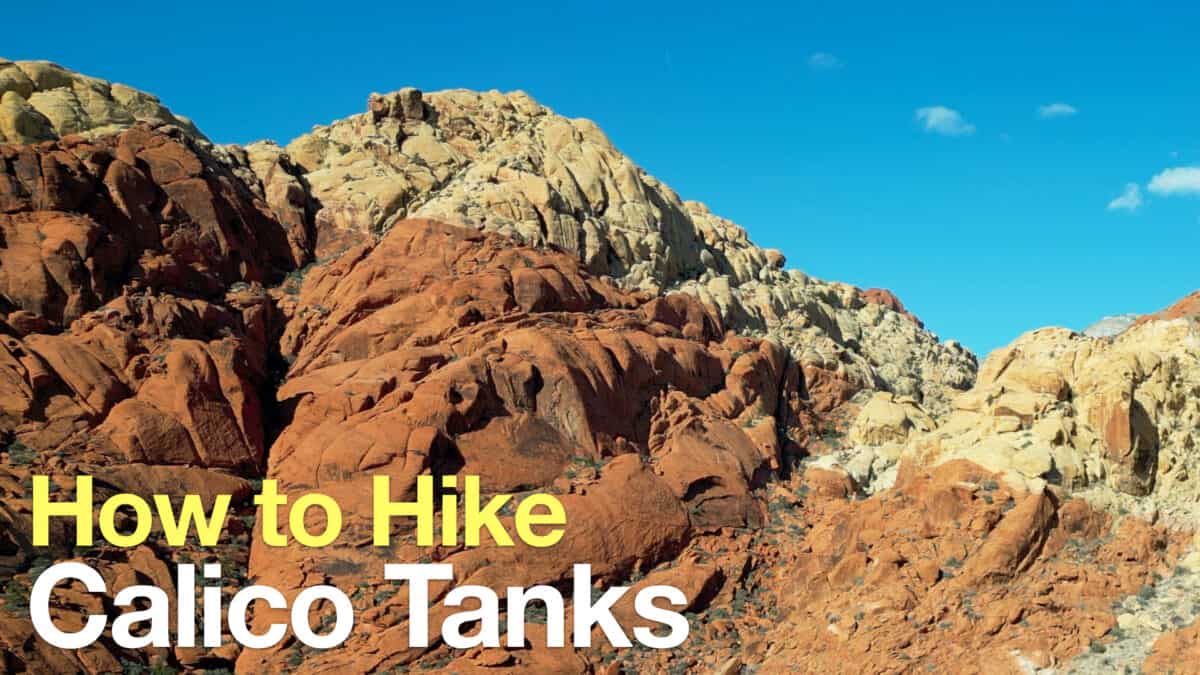 Calico Tanks Trail
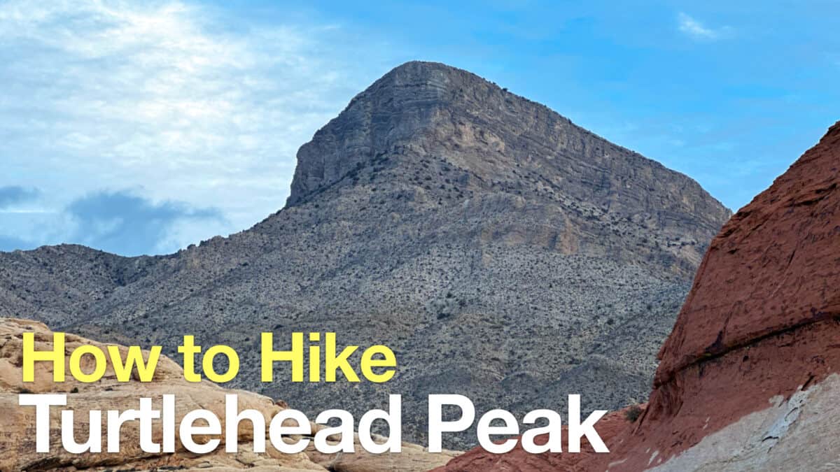 Turtlehead Peak Trail
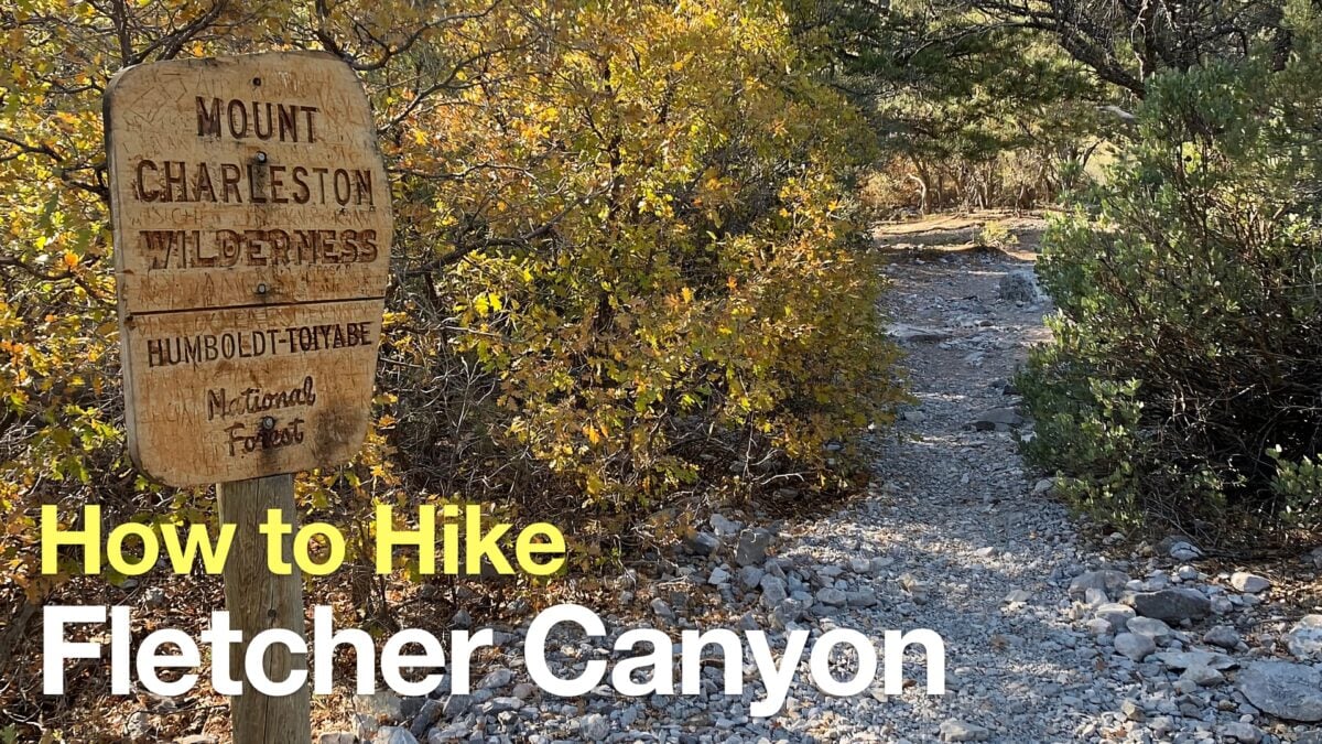 Fletcher Canyon Trail Hike
 Las Vegas Hikes
Popular Guides
 Best Hiking Gear 2024
 Hiking Boots or Shoes: Do I Really Need Hiking Boots?
 When to Hit SOS on inReach
This Guide Was Written by Cris Hazzard

Hi, I'm Cris Hazzard, aka Hiking Guy, a professional outdoors guide, hiking expert, and author based in Southern California. I created this website to share all the great hikes I do with everyone else out there. This site is different because it gives detailed directions that even the beginning hiker can follow. I also share what hiking gear works and doesn't so you don't waste money. I don't do sponsored or promoted content; I share only the gear recommendations, hikes, and tips that I would with my family and friends. If you like the website and YouTube channel, please support these free guides (I couldn't do it without folks like you!). You can stay up to date with my new guides by following me on YouTube, Instagram, or by subscribing to my monthly newsletter.