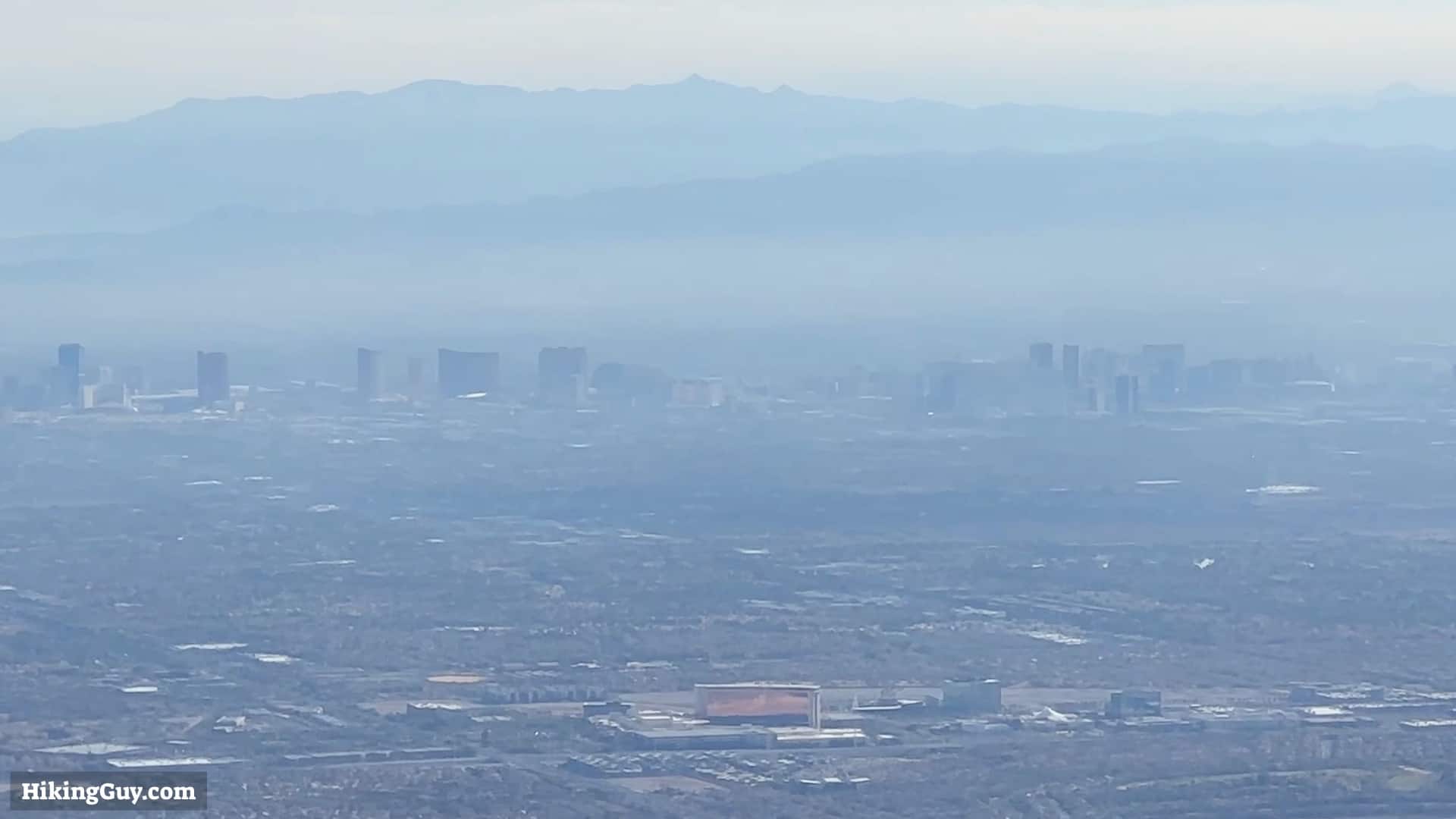
One of the best hikes in Red Rock Canyon, the Turtlehead Peak hike is challenging but rewards you with sweeping 360 views into Las Vegas and the surrounding La Madre mountains. The trail to Turtlehead Peak is the shortest summit hike in Red Rock Canyon park, so be prepared for a workout and some crowds. But it's worth it; the views are incredible.
How To Get To the Turtlehead Peak Trail
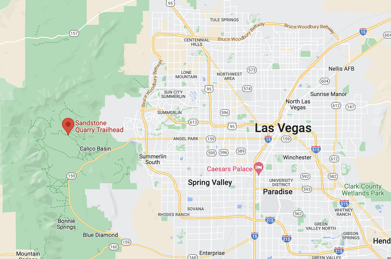
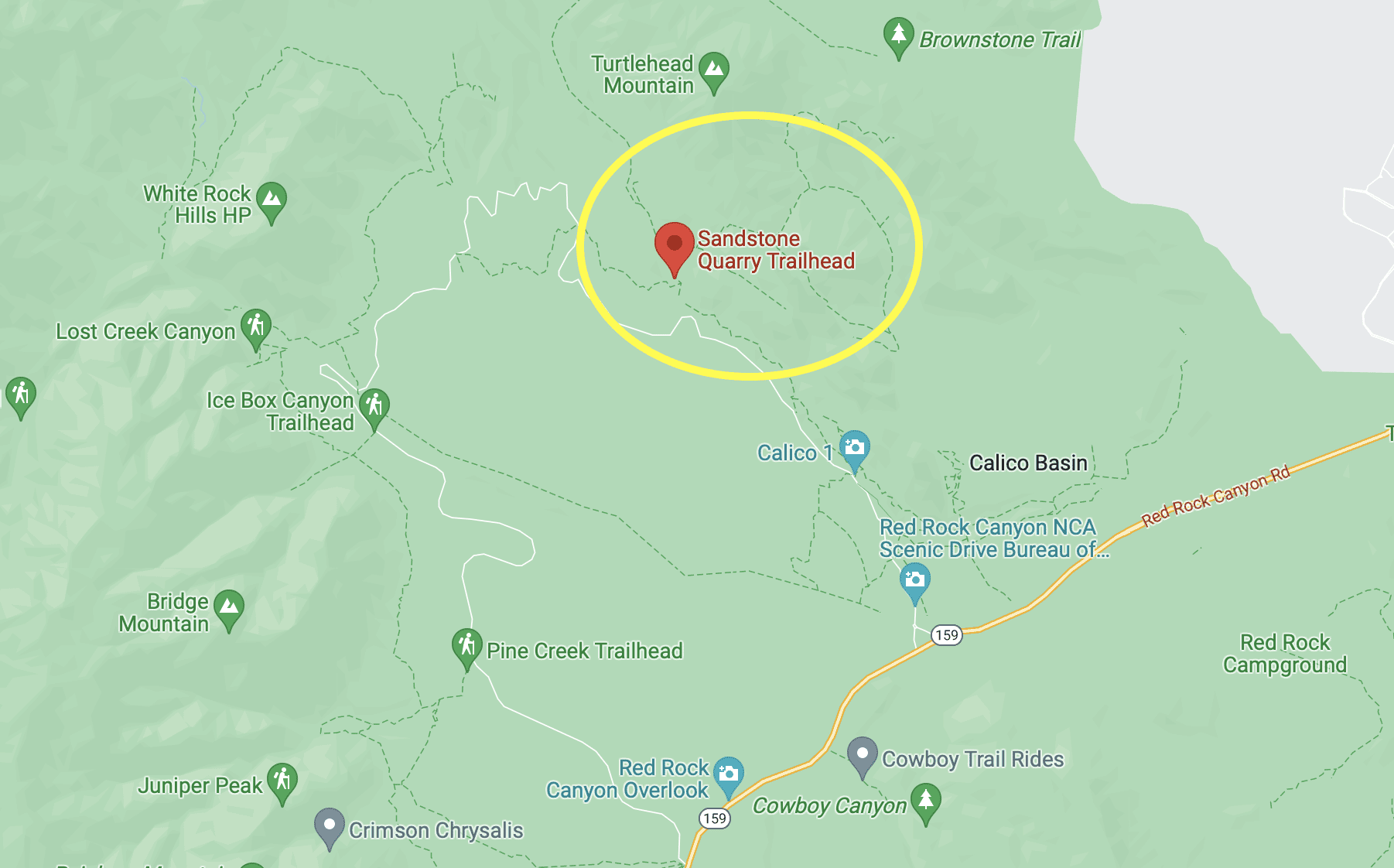
The Turtlehead Peak Trail is located in Red Rock Canyon park, roughly 40 minutes from most spots in central Las Vegas.
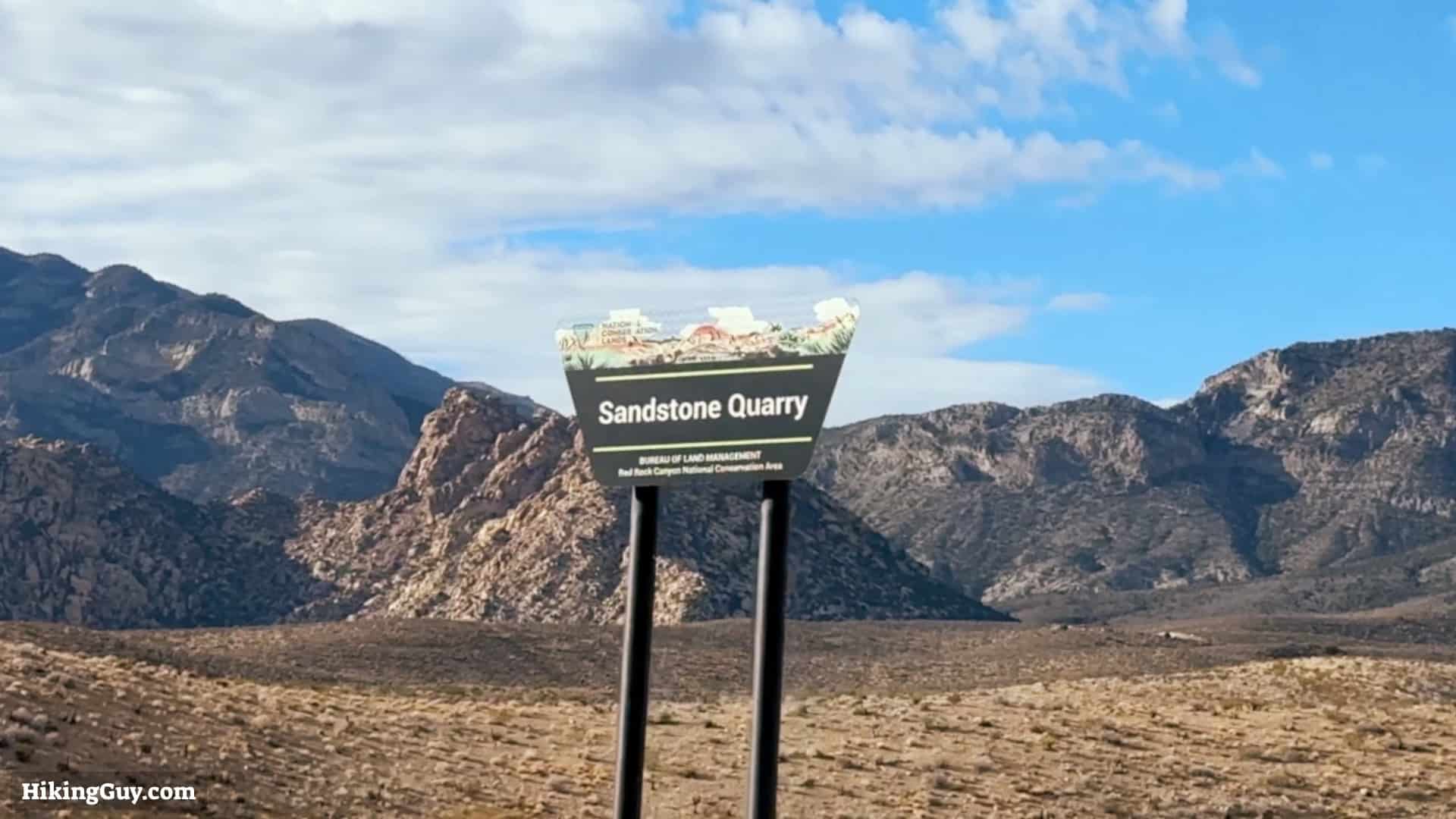
The Sandstone Quarry Trailhead is only a few minutes down the Scenic Drive from the entrance.
Come early, this hike can get busy later in the morning.
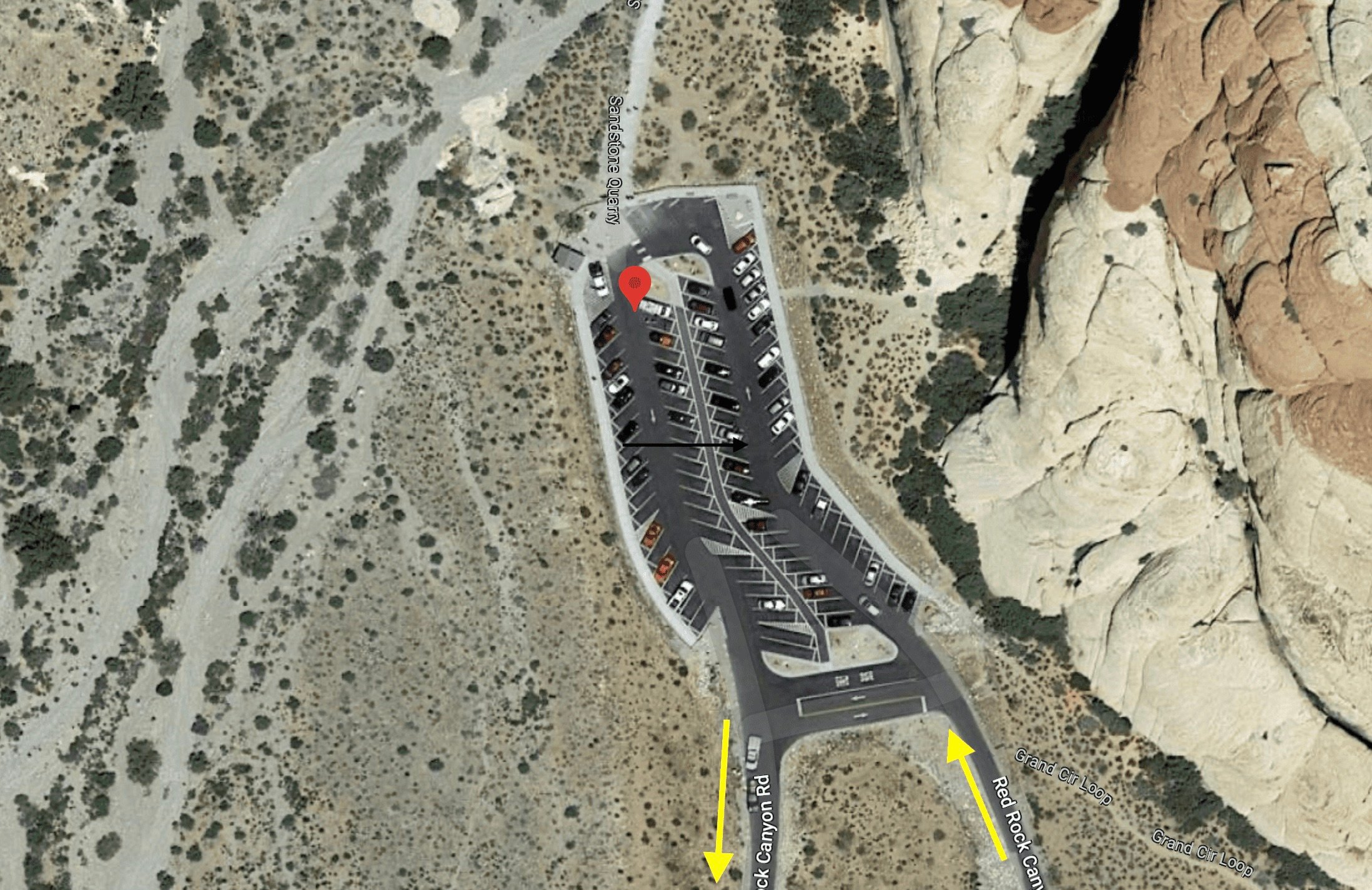
Look for the turnoff for the parking lot to your right.There are many parking spots, but the lot gets full quickly. There's also a primitive toilet by the parking area.
Gear For The Hike
Turtlehead Peak is in the Mojave Desert, and it can get very hot in the summer and surpassingly cold in the winter, especially at the summit. The summit is often windy too, so having a layer and a shell for the top is smart. Bring 2L of water and a snack for the summit. Trekking poles are also helpful for the steep climb and descent.
Don't hike Turtlehead Peak when the temperatures are high. It's strenuous and you risk heat stroke.
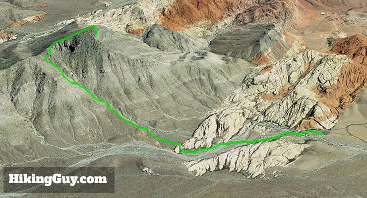
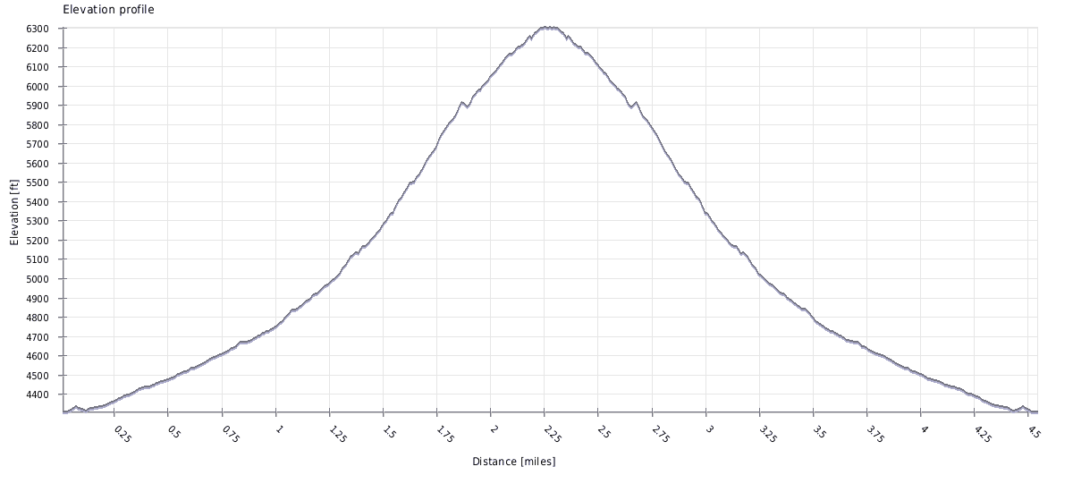
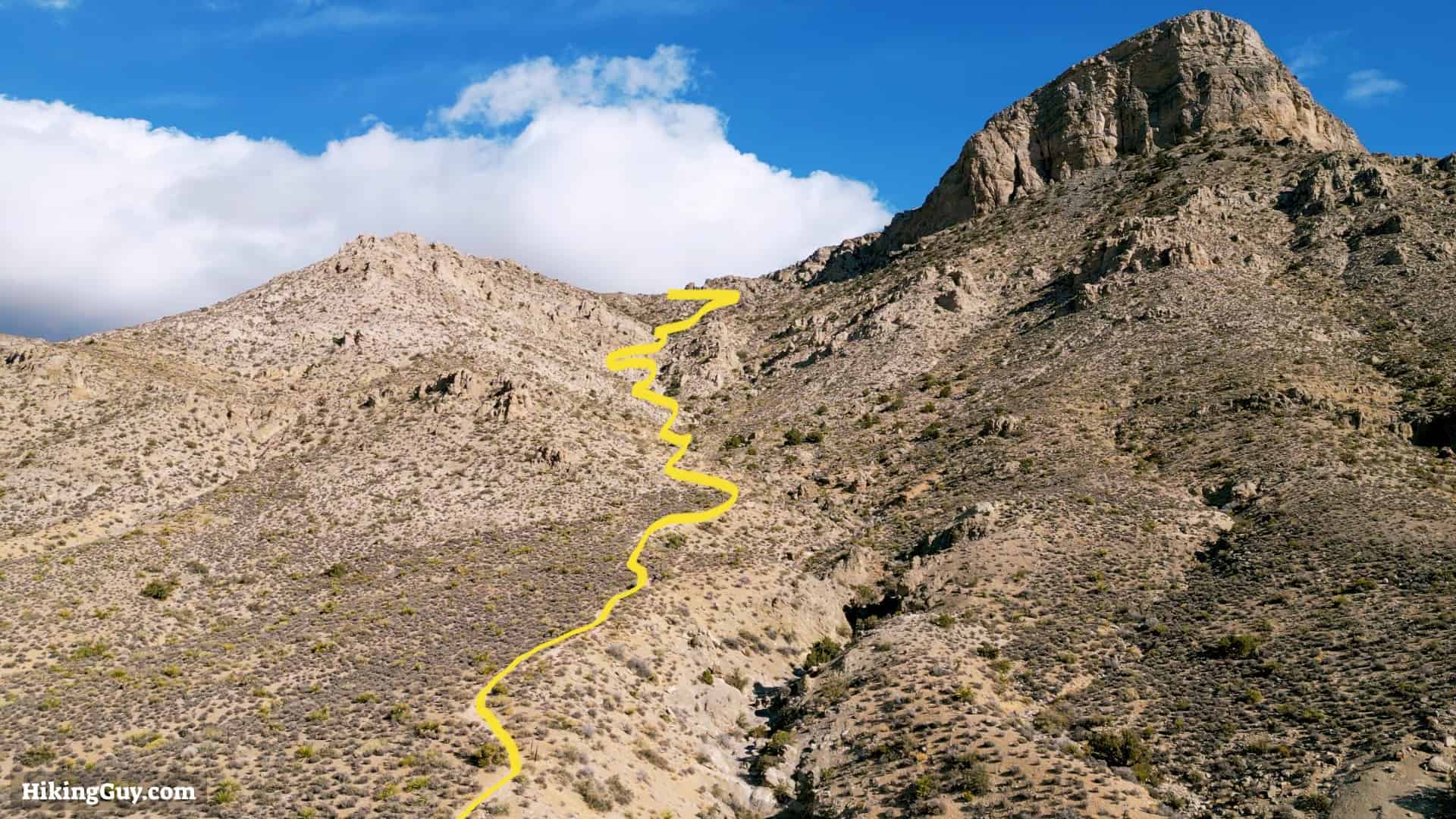
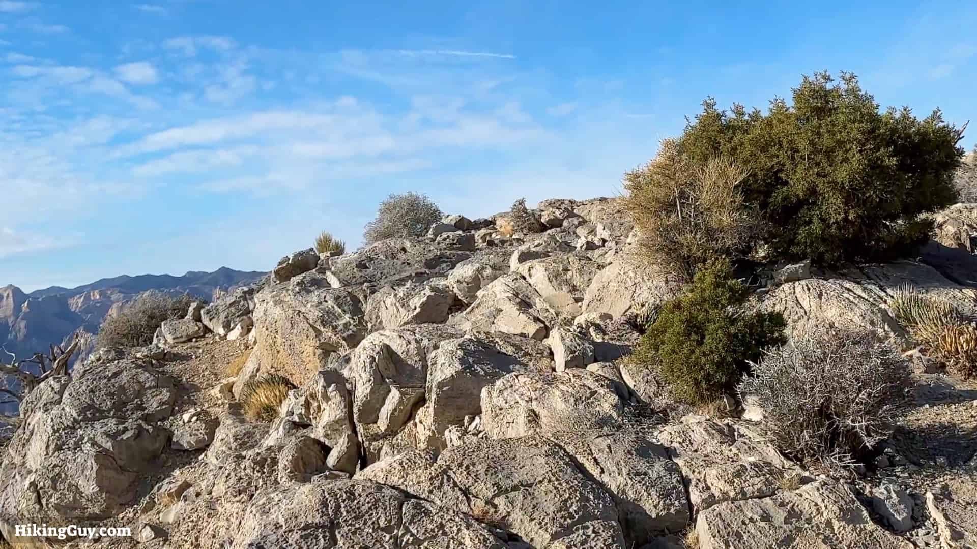
The Turtlehead Peak Trail starts with the colorful rock formations of the Calico Hills and then makes its way up the steep gully section, eventually reaching the saddle and winding its way up to the summit.The beginning of the hike is the only place where the climb is gradual. Once you get to the middle, it's steep. That section climbs 700 feet in less than half a mile. Just take your time, and you will be fine.
Turtlehead Peak Hike Directions
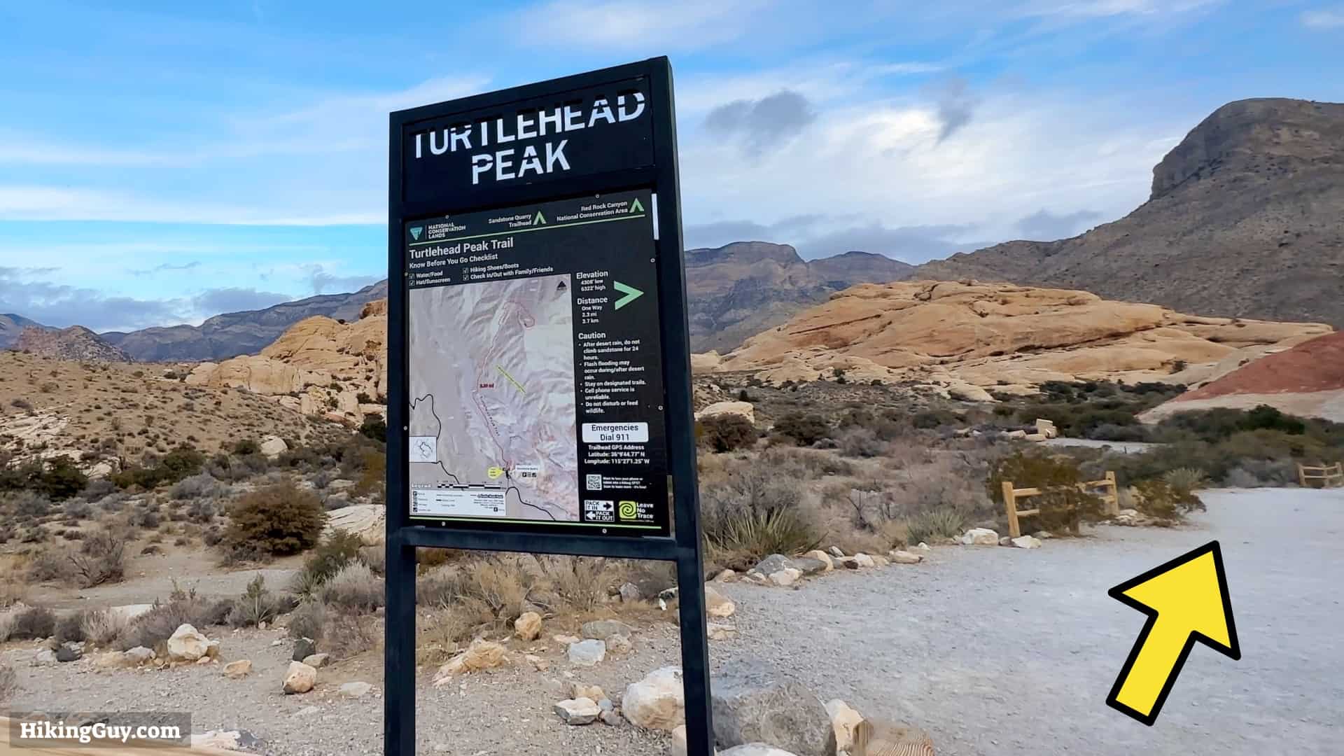
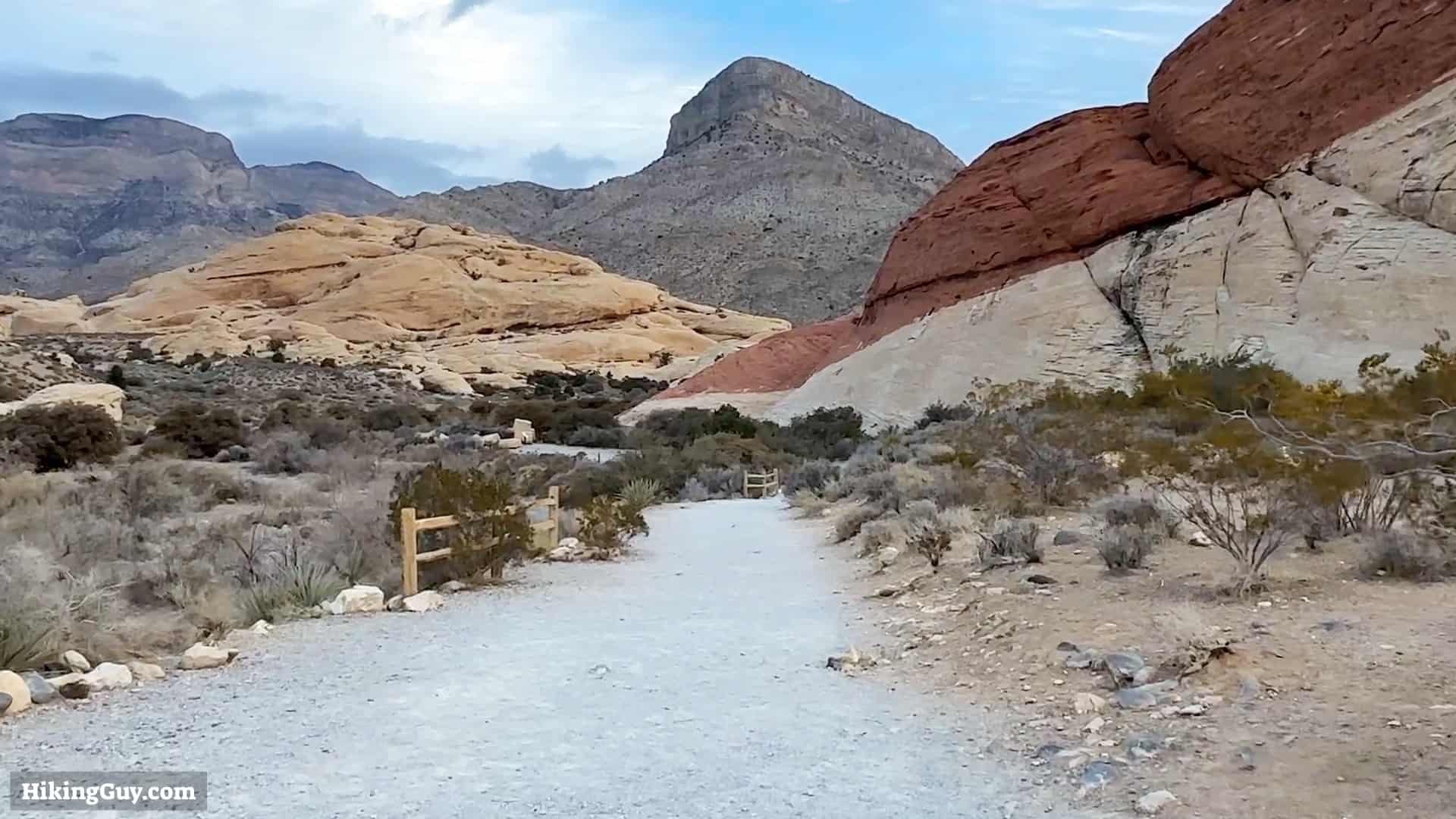
Start at the end of the parking lot, at the Turtlehead Peak trailhead. The beginning of the hike shares the same trail as Calico Tanks.As you start you'll get postcard-perfect shots of Turtlehead Peak. If it looks out of place, it's because it's split off from the larger area of limestone to the left because of tectonic action.
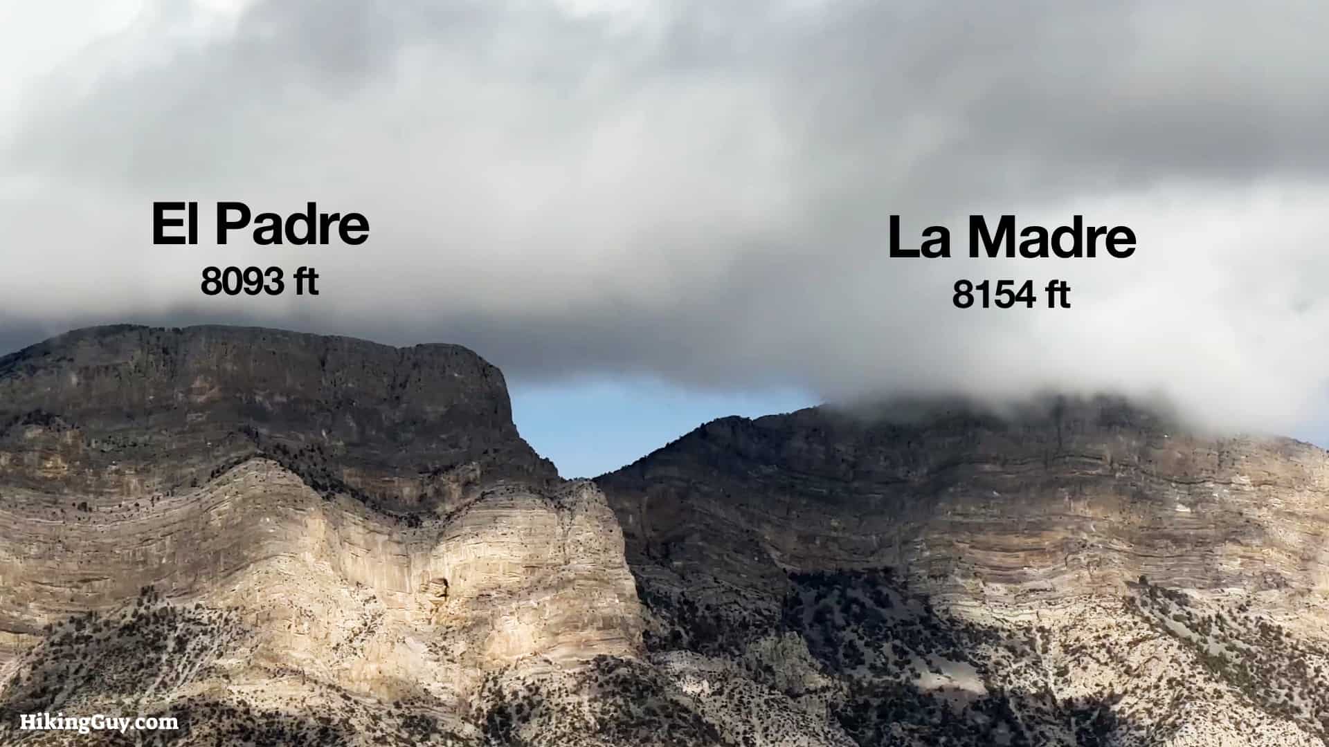
Turtlehead Peak isn't the highest point in the park; that honor goes to La Madre Mountain at 8,154ft. But Turtlehead Peak is the highest peak within the park that you can hike to.
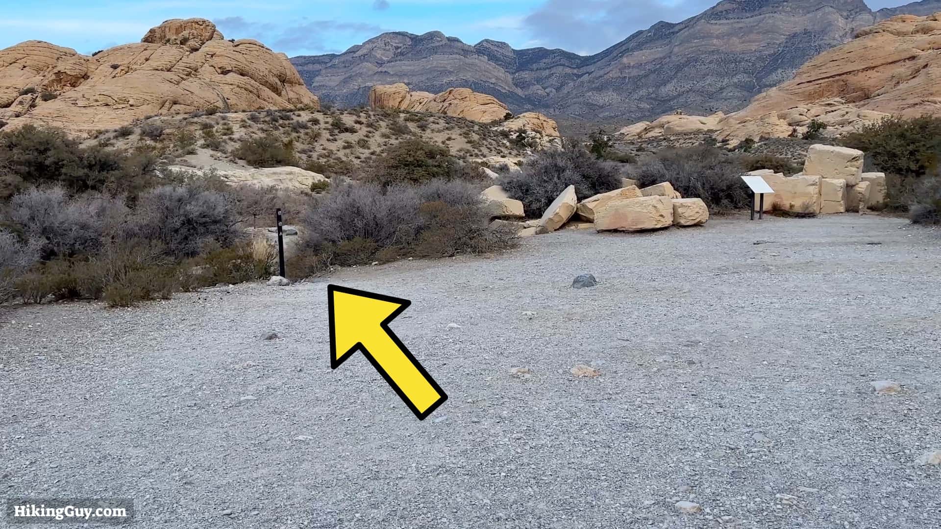
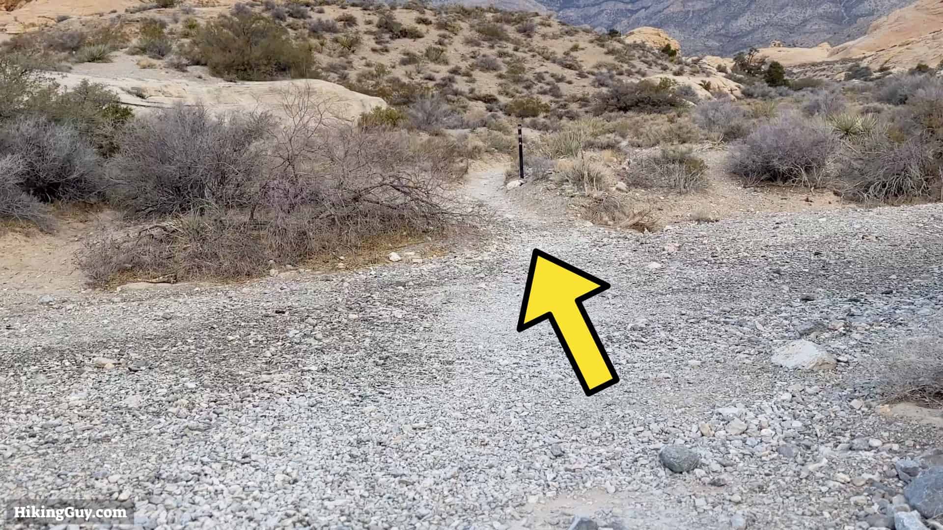
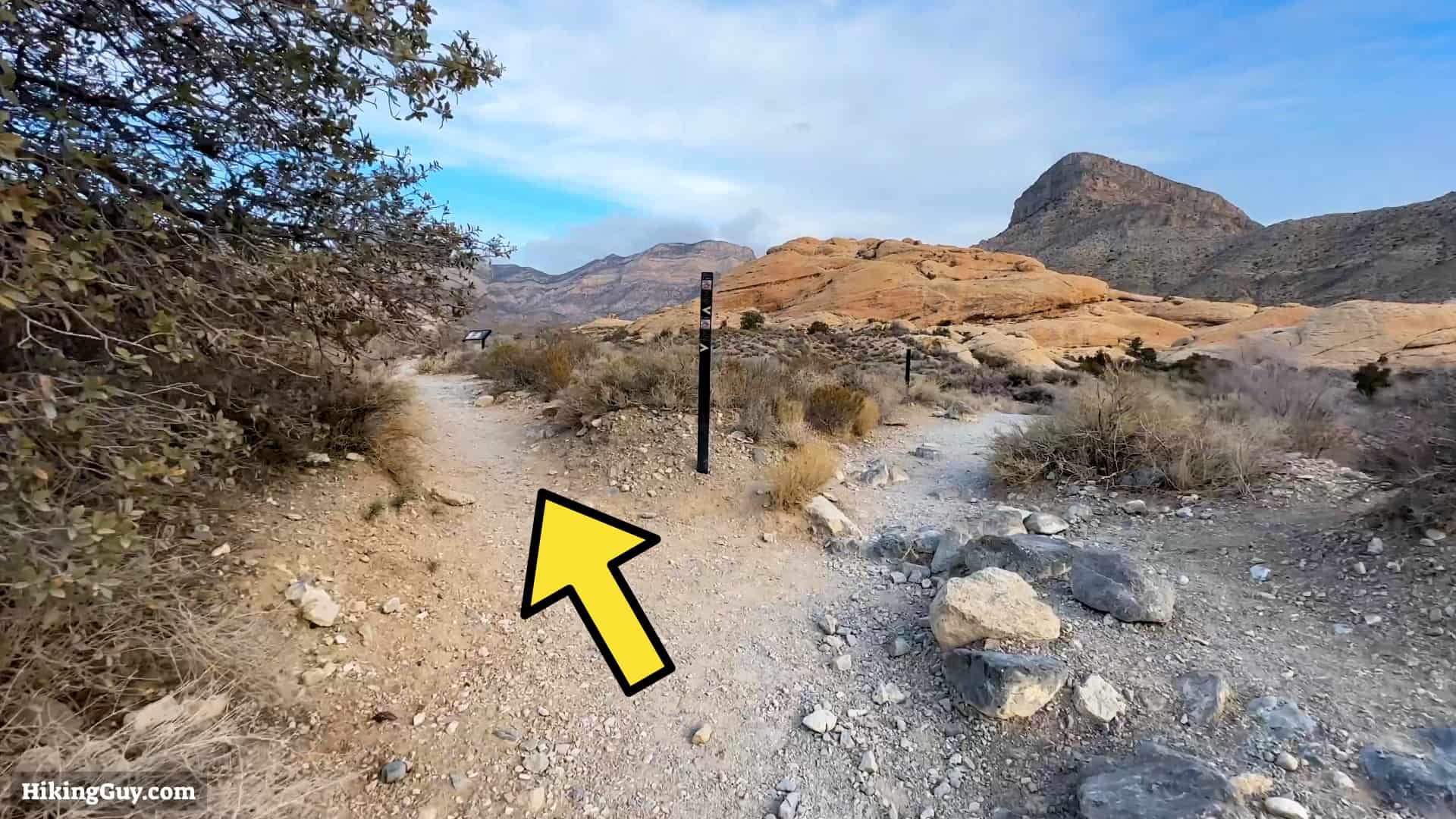
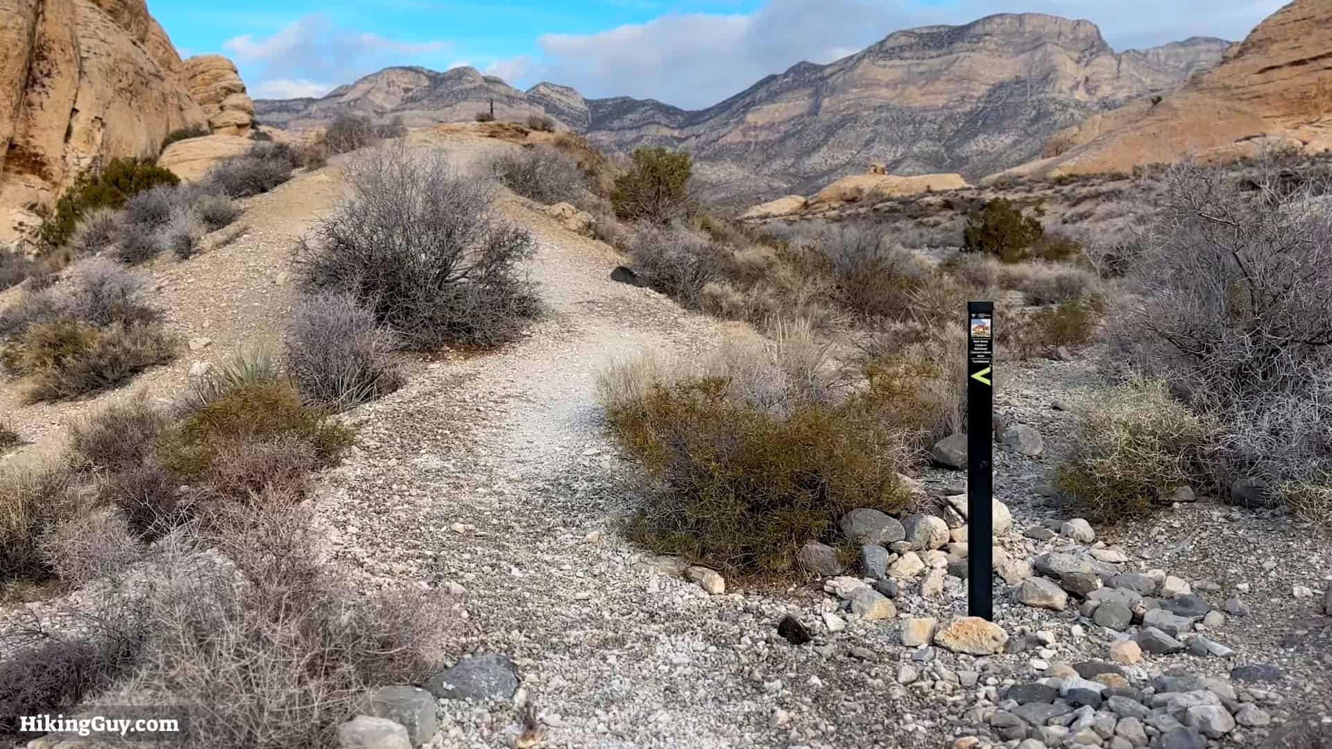
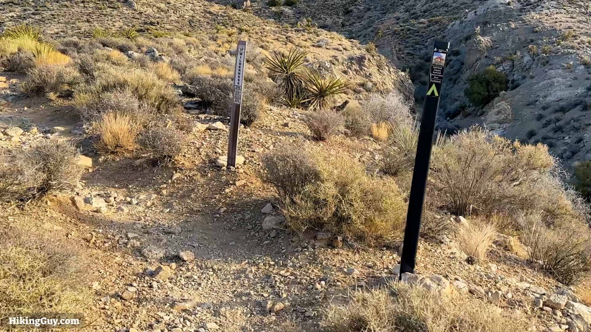
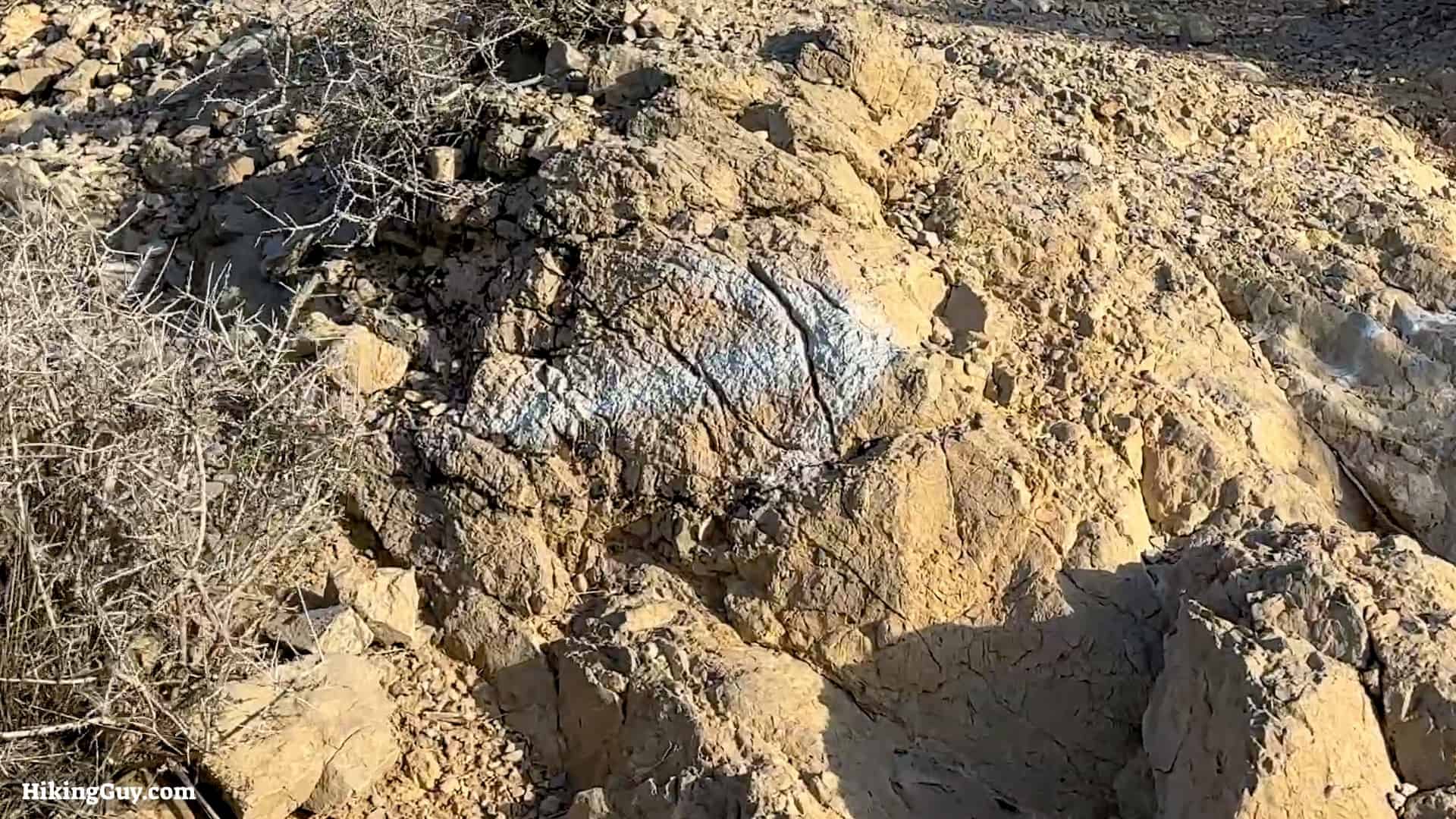
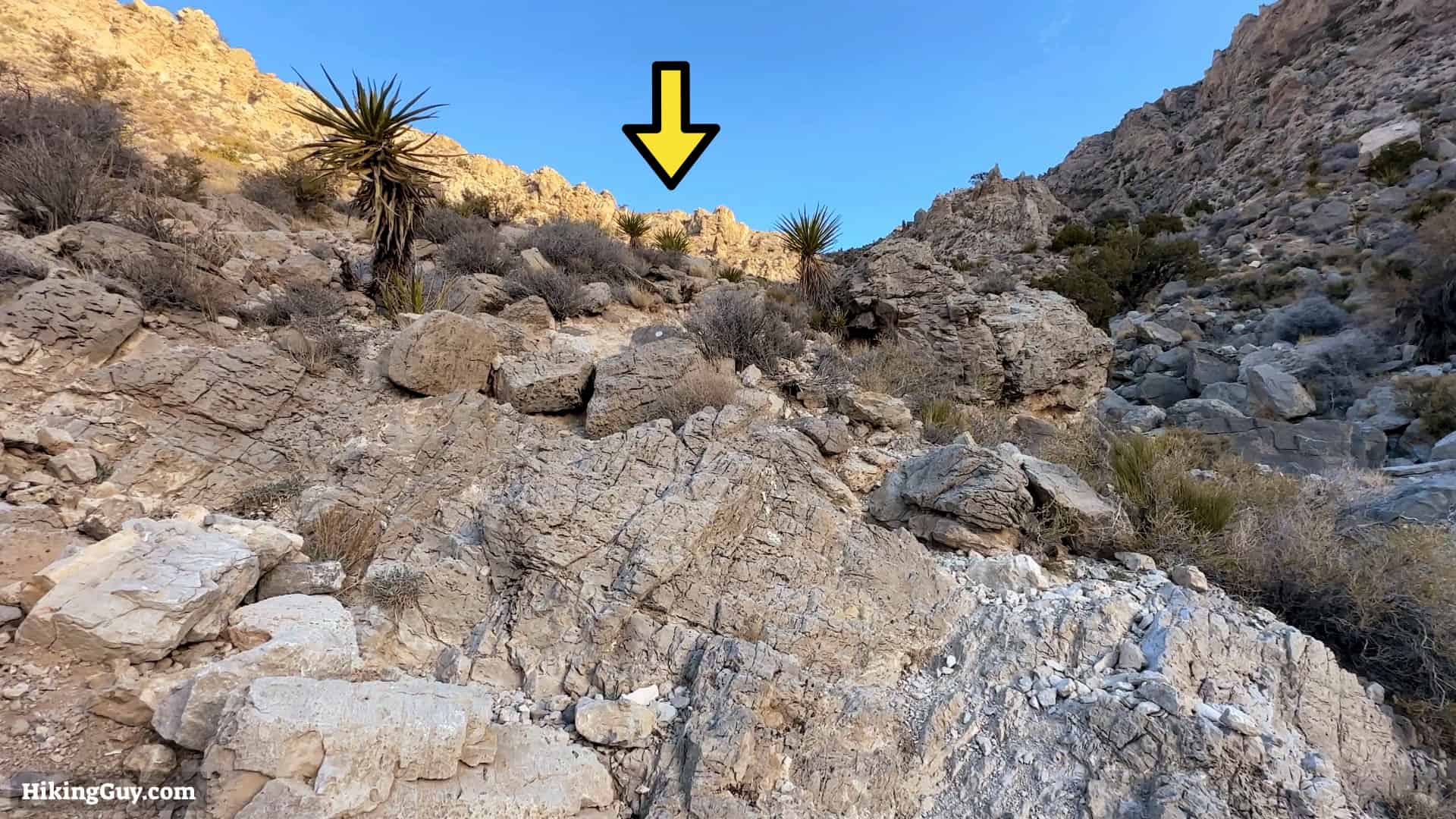
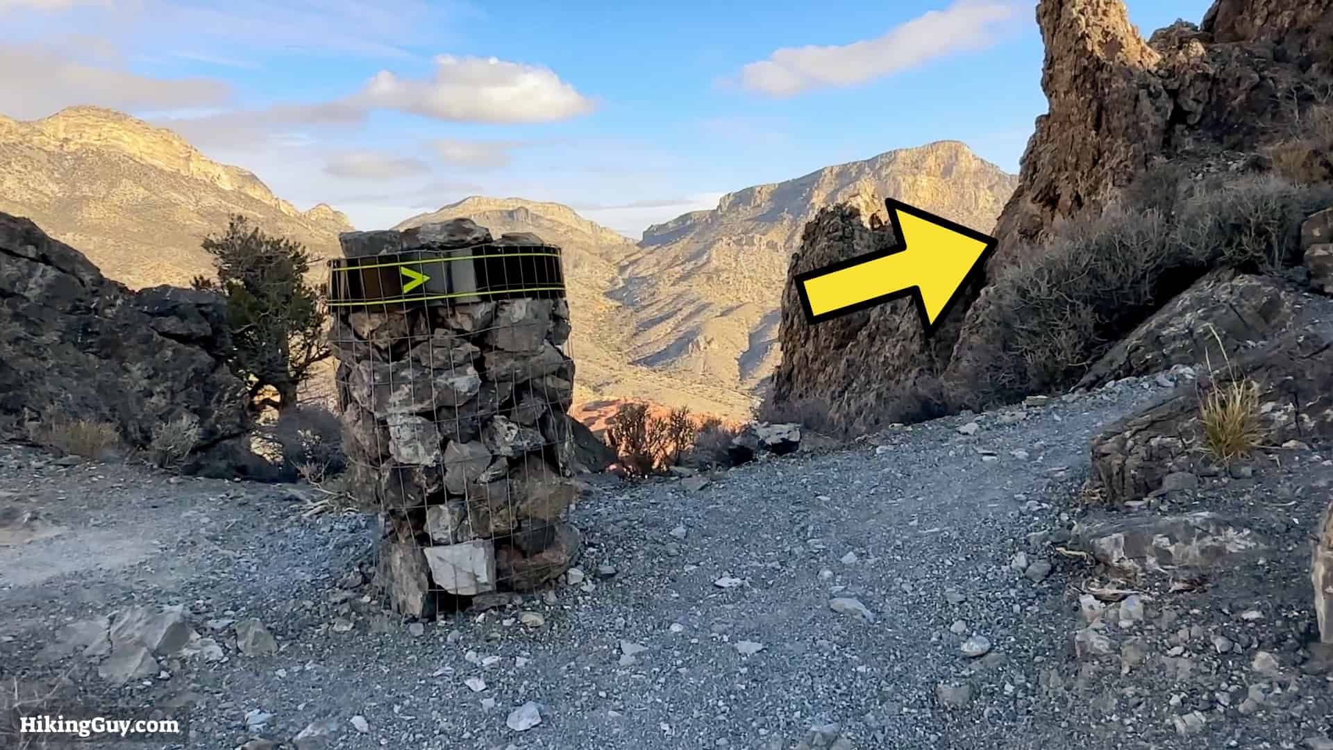
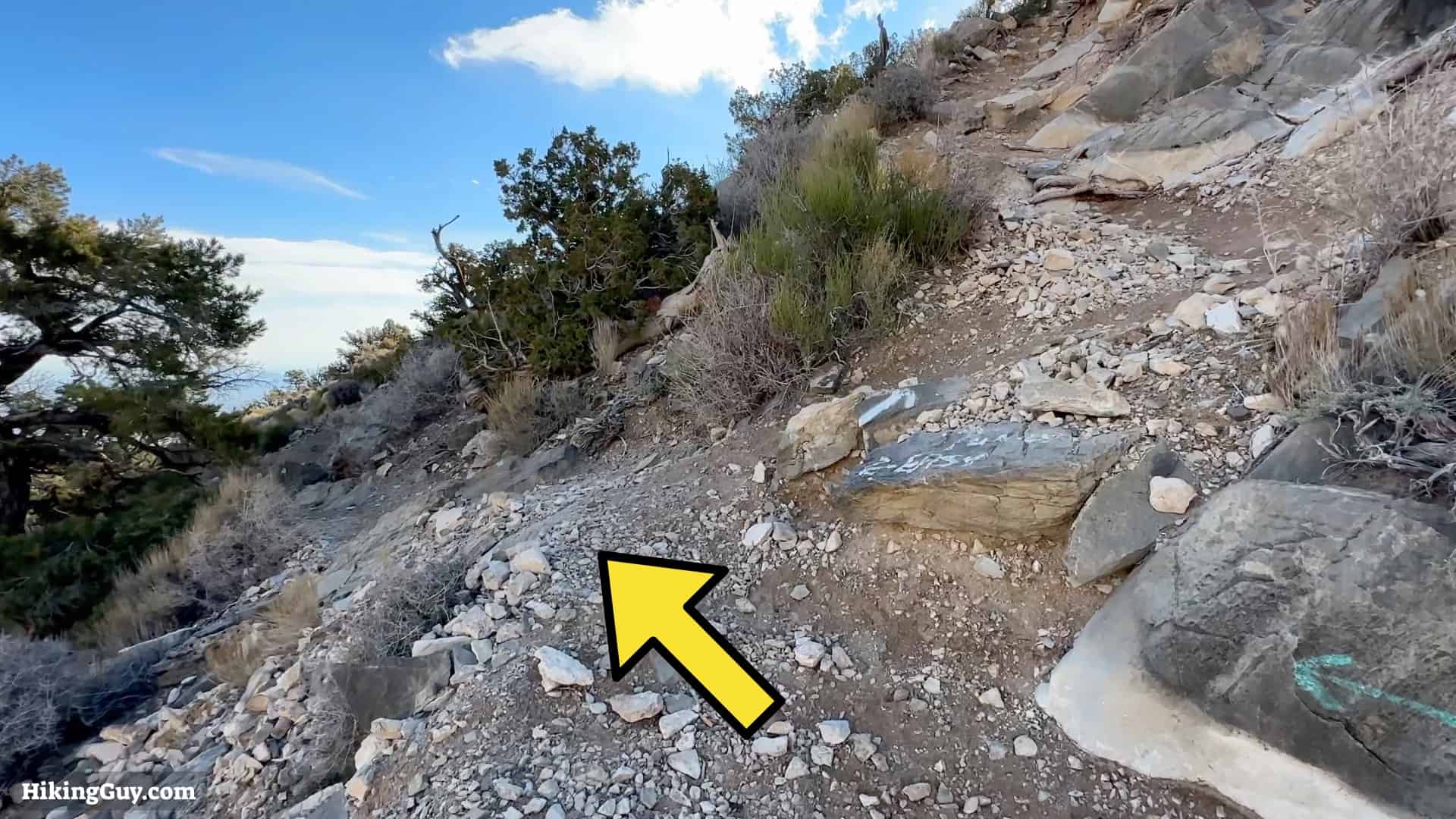
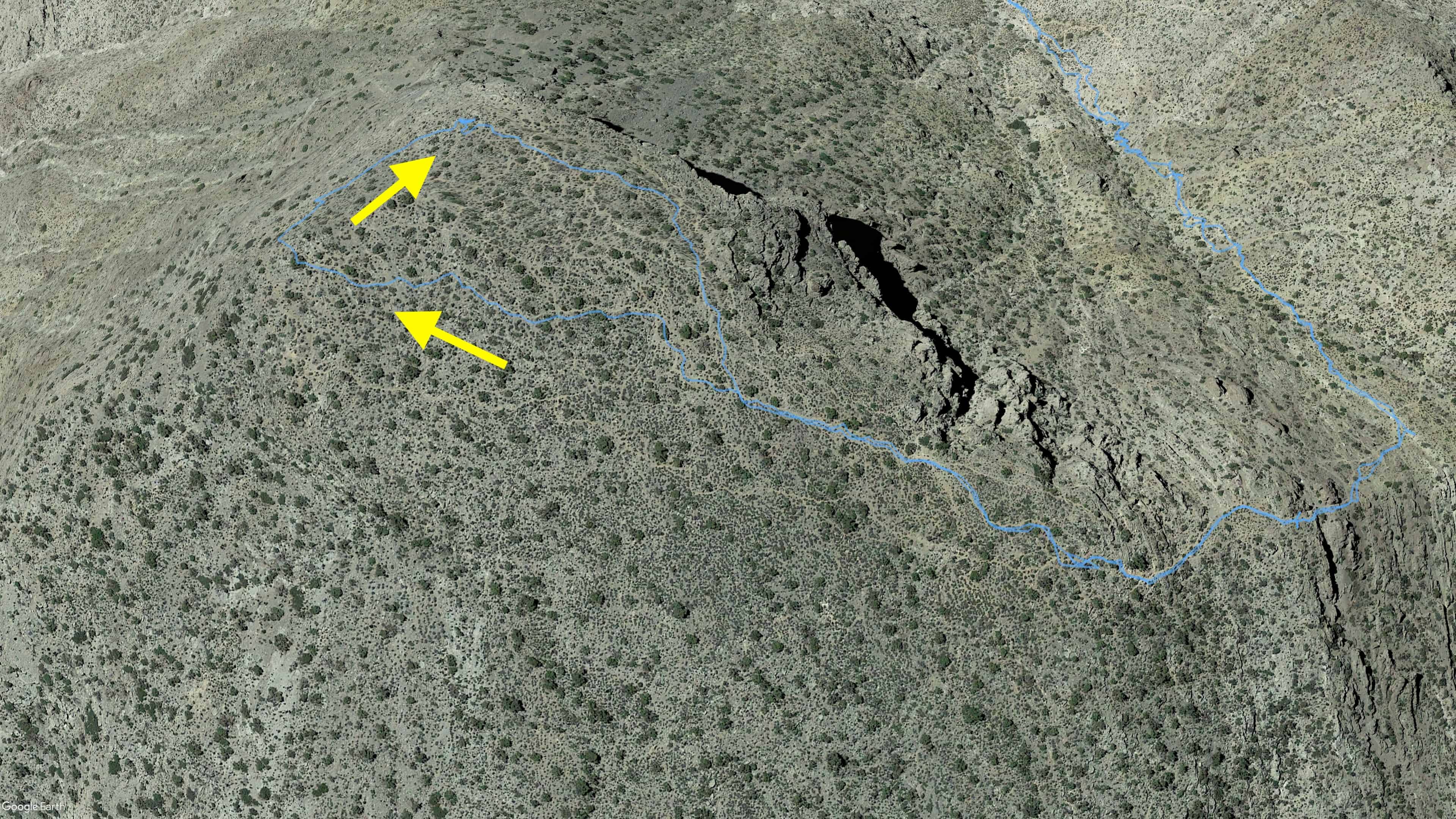
When you get to the wide clearing, keep left to continue the trail. If you want to do a detour to the sandstone quarry, it's straight ahead.Cross over the washes to continue the trail.When you get to the split, keep left for Turtlehead Peak.Now the trail follows the wash and climbs gradually. You'll be walking next to or in the wash. There are plenty of trail markers along the way.At a little over a mile in you'll encounter a boundary marker for the La Madre Mountain Wilderness. For me this marks the beginning of the toughest part of the climbing.We're going to be following the left side of the gully up to the saddle. We don't go into the gully, but at some points we're right above it.In addition to the trail markers, look for spray paint blazes too.
Don't be surprised if you see struggling tourists on the trail. The hike is popular with inexperienced hikers who go to the visitor center, get a map, and go for it.
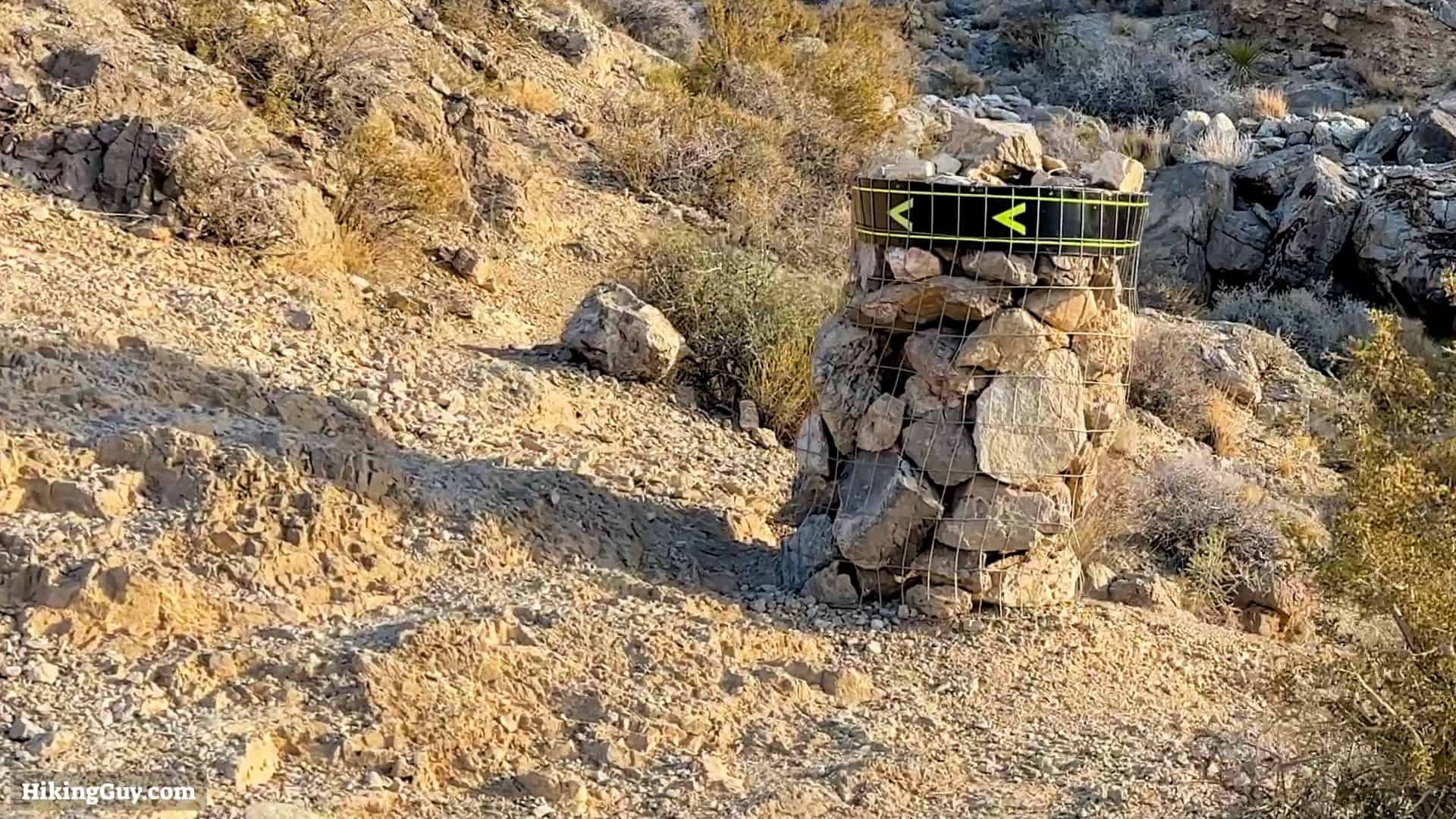
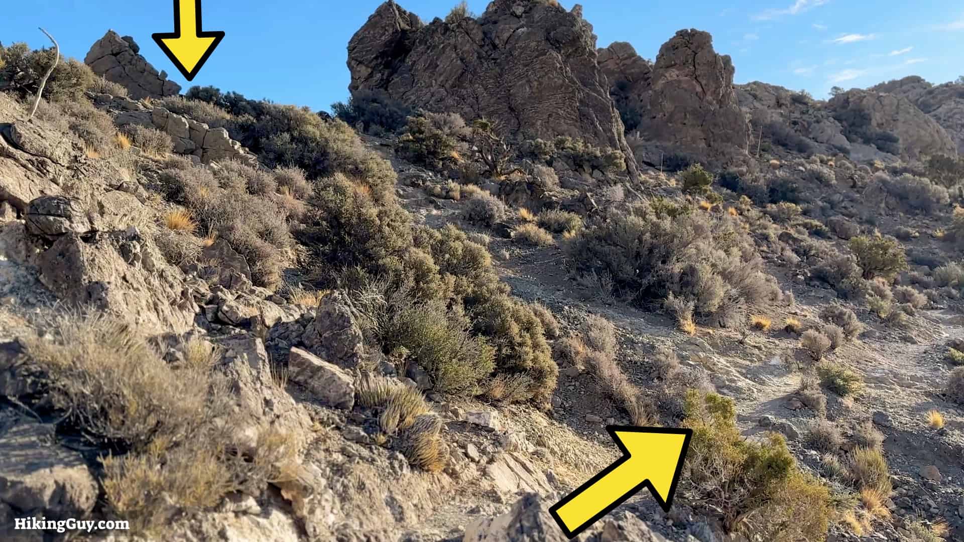
We're hiking up toward the saddle. Look up for markers. At some points the trail splits and comes back together. Look for the most footprints.At a few places the trail cuts back away from the gully.Keep your eyes open for this big caged markers too.Before you get to the saddle, the trail cuts across the top of the gully and then back in a switchback.And here you are at the saddle! Make the right for the last half-mile or so to the summit.You get a short breather after the saddle. In front of you is the summit.
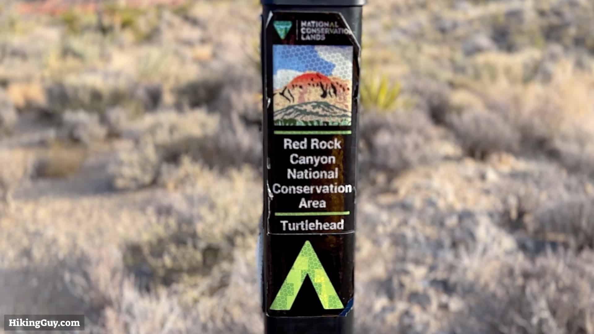
Although you'll see this slab of limestone referred to as Turtlehead Peak in the park literature, it's official name on the USGS map is Turtlehead Mountain.
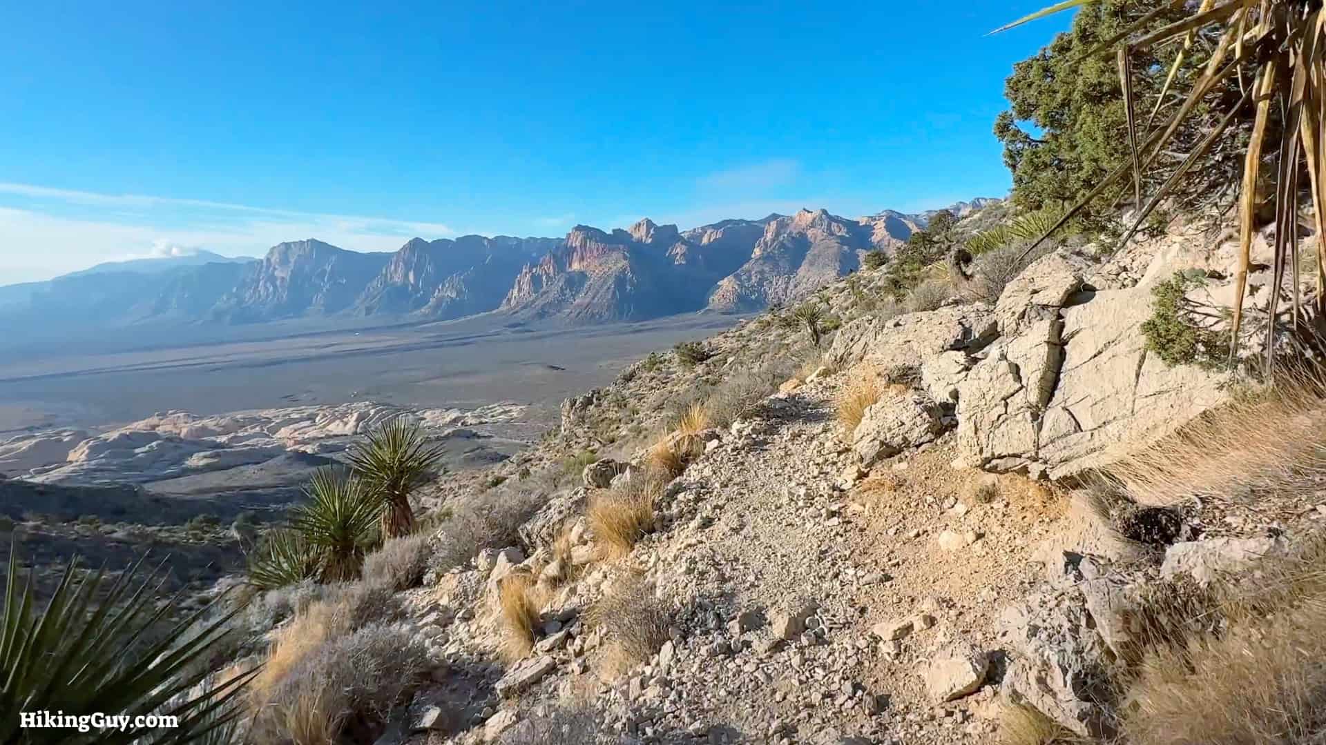
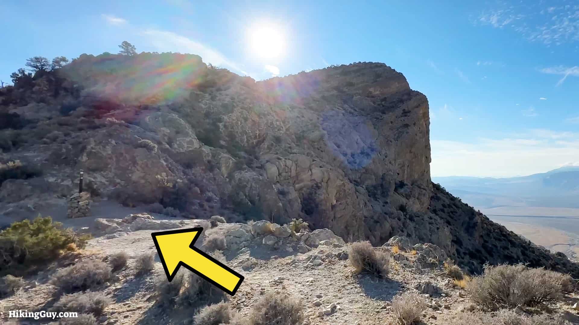
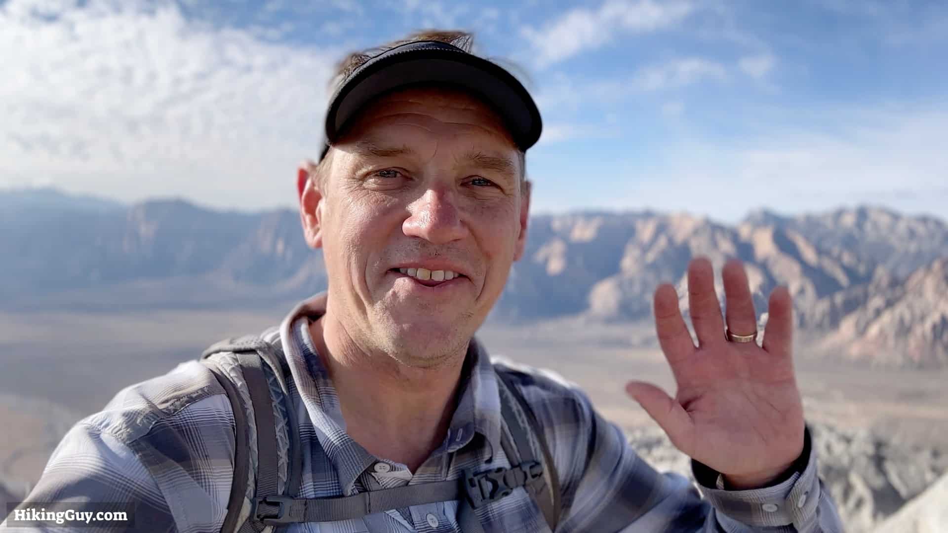
When you get to the back of the peak, you'll notice that the trail splits. The easier route is to go straight and wind up the backside.The overall idea is to climb up the backside and then hook around to the right, climbing to the summit. It's a bit of a "choose your own adventure" as the trail splits and comes together quite a bit.And here you are at the summit!You'll get views into Las Vegas.And behind you is the highest point in Red Rock Canyon, La Madre Mountain.When you're done at the summit, just turn around and go back down the same way that you came up. That's the hike!