Mt Baden-Powell Hike
Hike Stats
- Total Distance
- 8 miles
- Time
- 4-5 Hous
- Total Climbing
- 2800 feet
- Difficulty
- Hard
- Crowds
- Crowded
- Dogs
- Leashed
- Gear
- What I Use
- Weather
- Latest Report
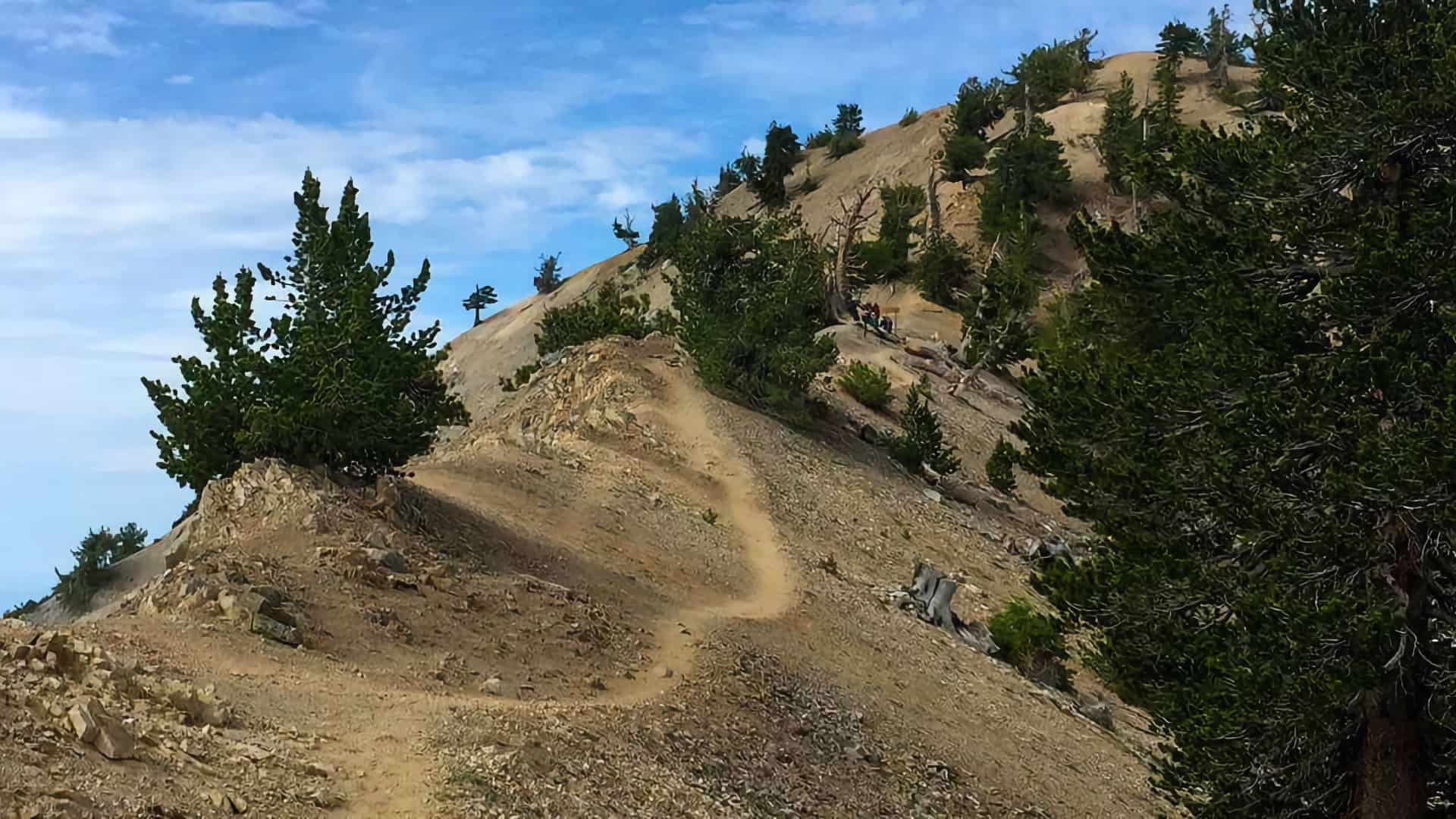
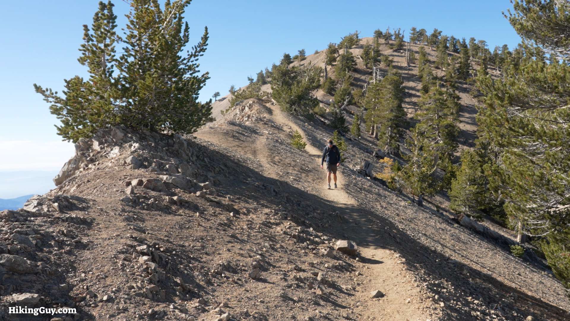
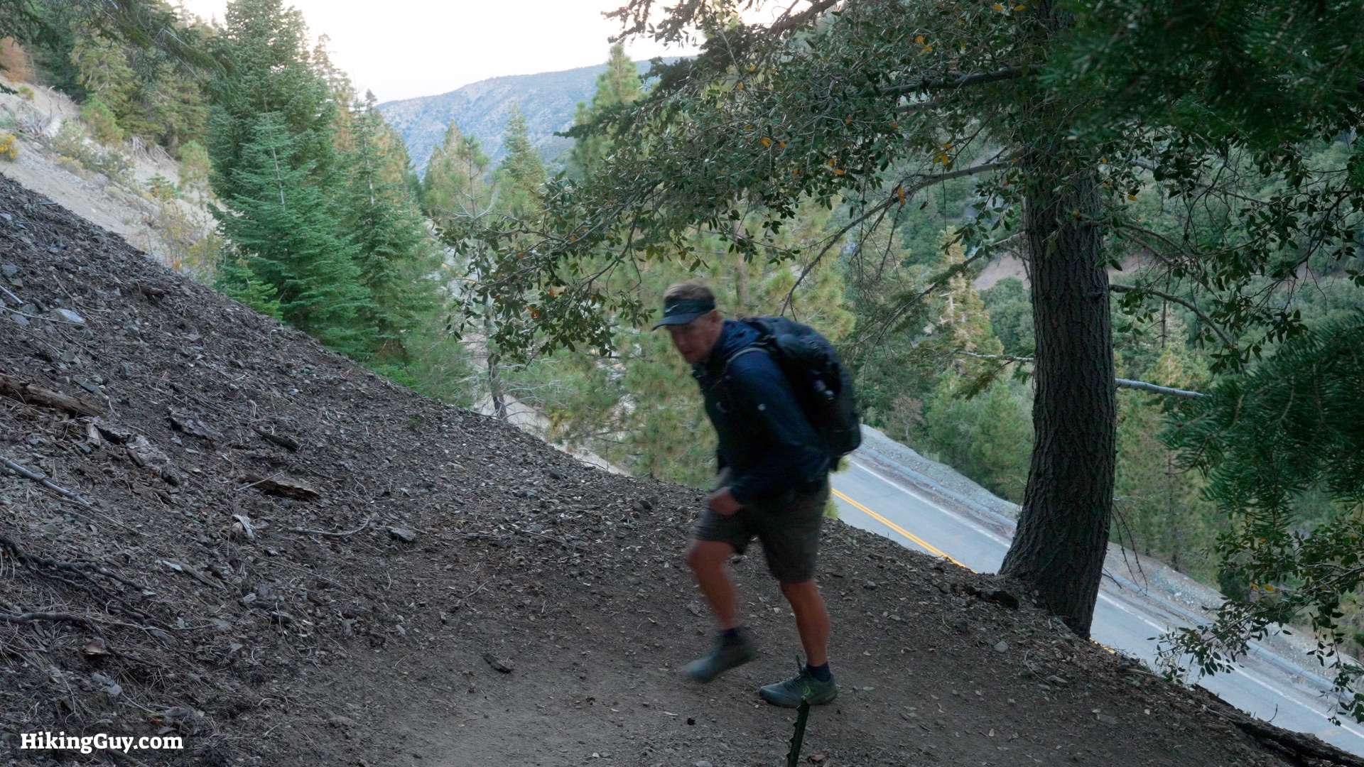
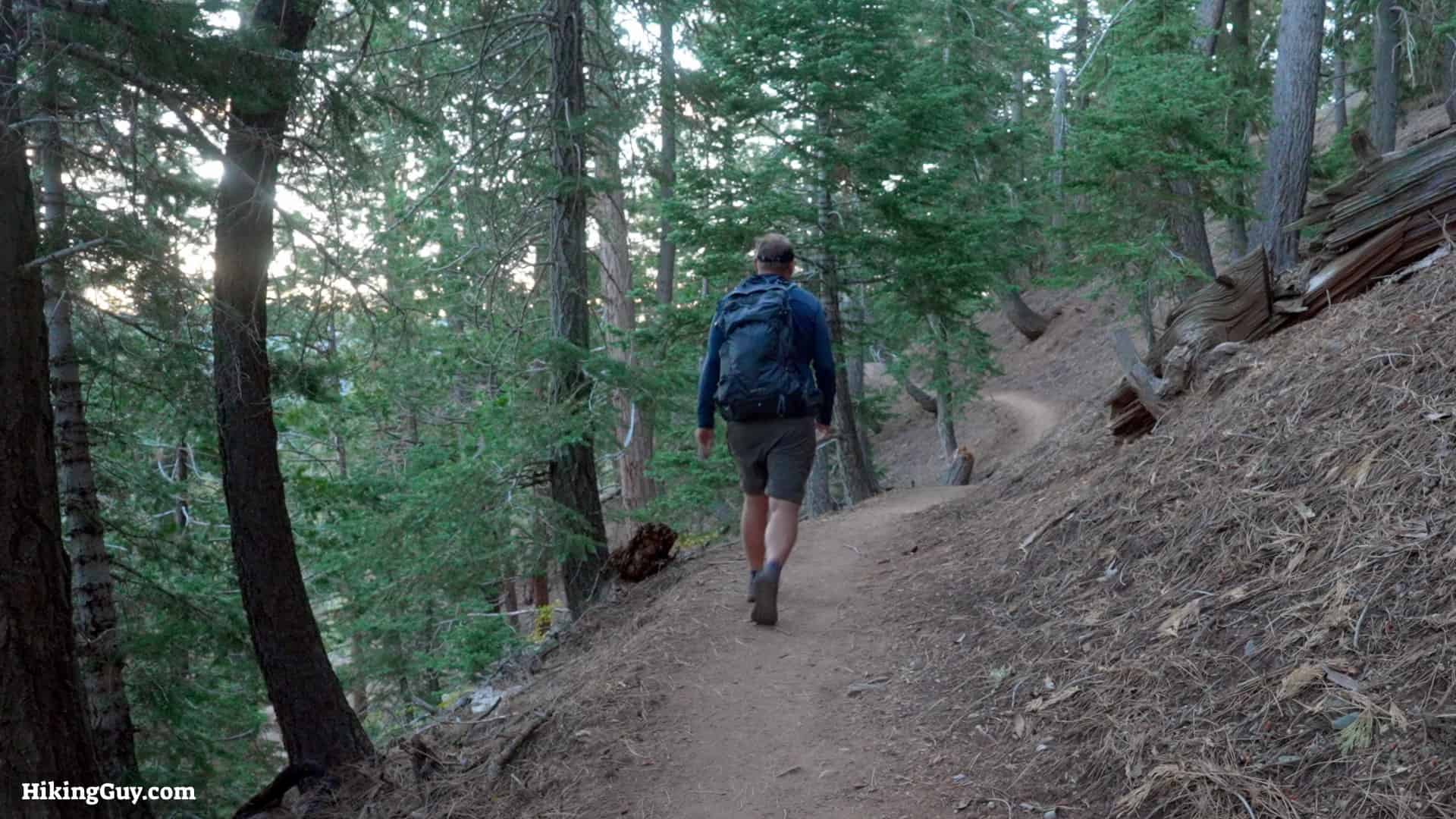
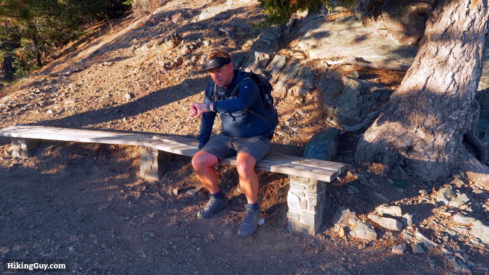
Hiking Mount Baden-Powell gives you a spectacular taste of the Angeles National Forest's high peaks without that much effort. You have to climb up the PCT, but the hike's shorter distance and steady gradient make it more of a challenging workout than a backcountry expedition. Baden-Powell is one of the classic hikes in the San Gabriels that you must add to your peak-bagging bucket list.
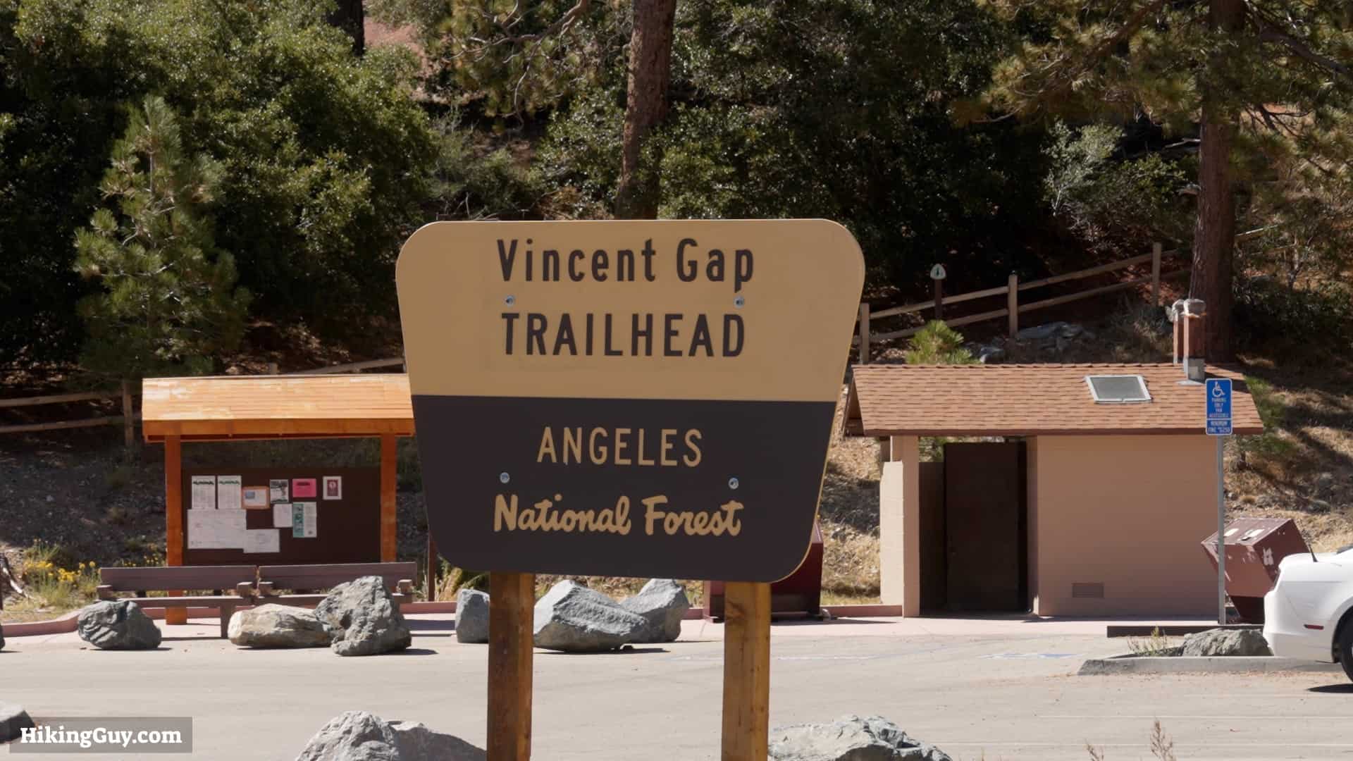
Getting to the Mount Baden-Powell Trailhead

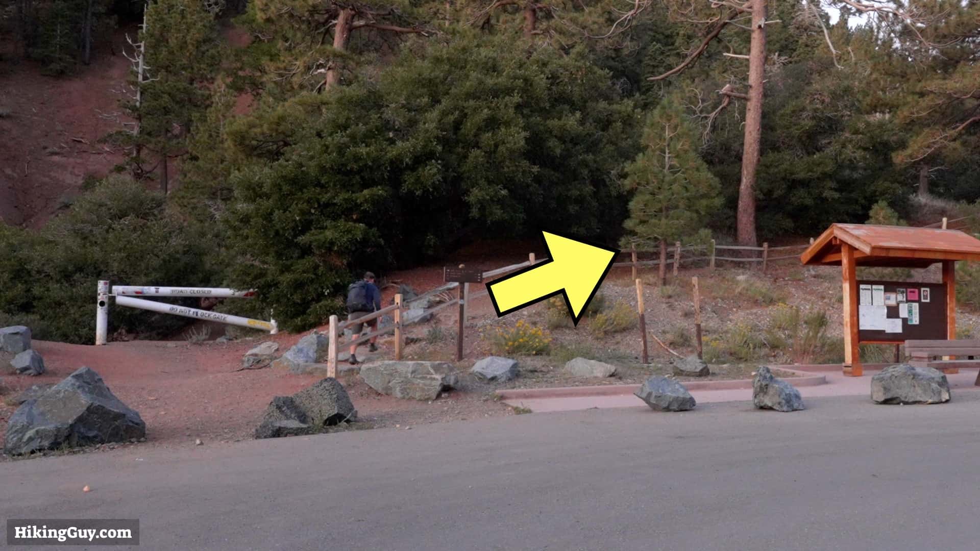
Use this trailhead address:
Vincent Gap Trailhead, Azusa, CA 91702
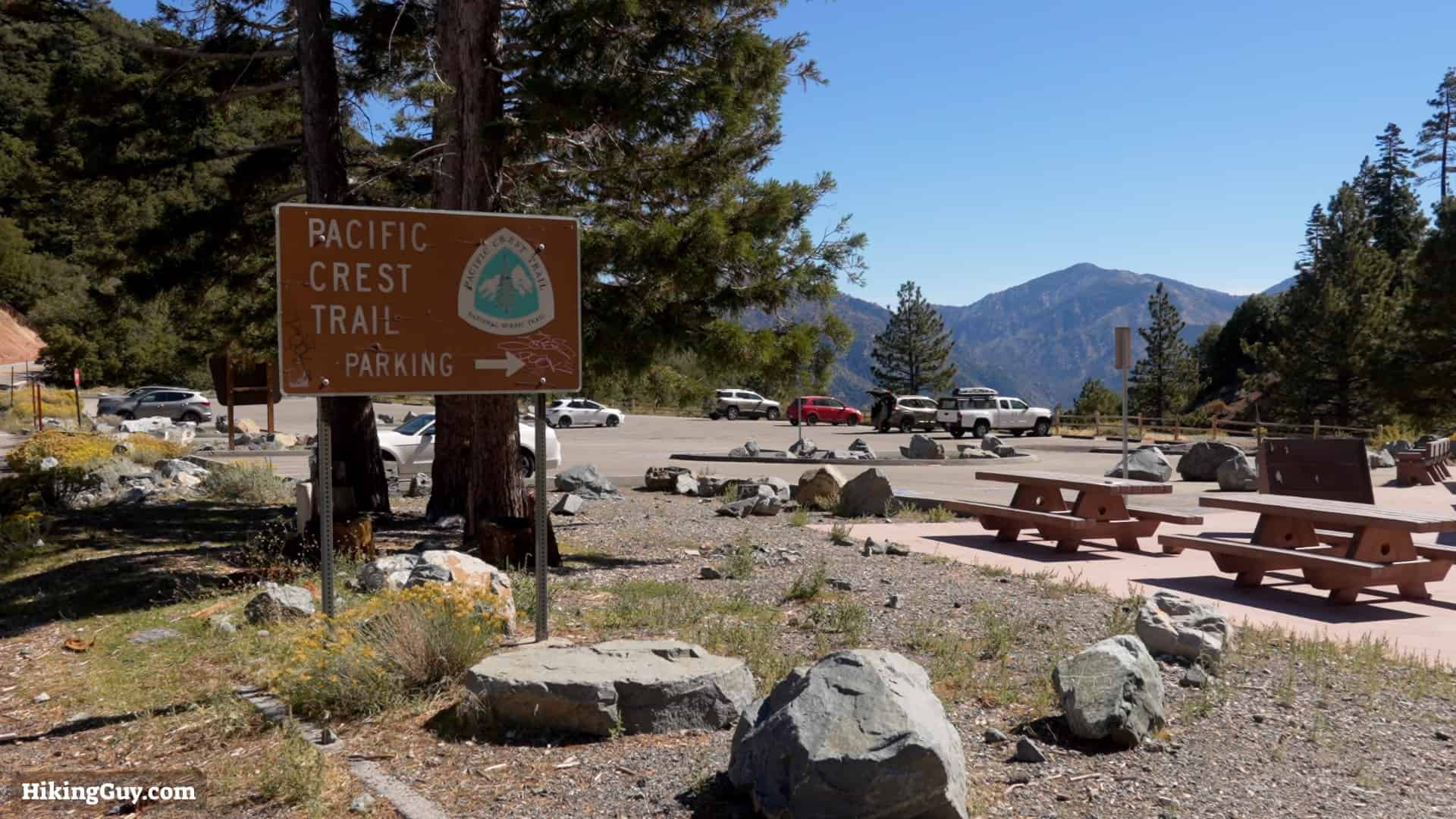
Parking Update
A third party is now charging $5 for trailhead parking and is not accepting parking passes. You can park accross the street for free. Be careful crossing the road.
Gear For the Hike
- This is a backcountry hike and you need to be well prepared with the essentials.
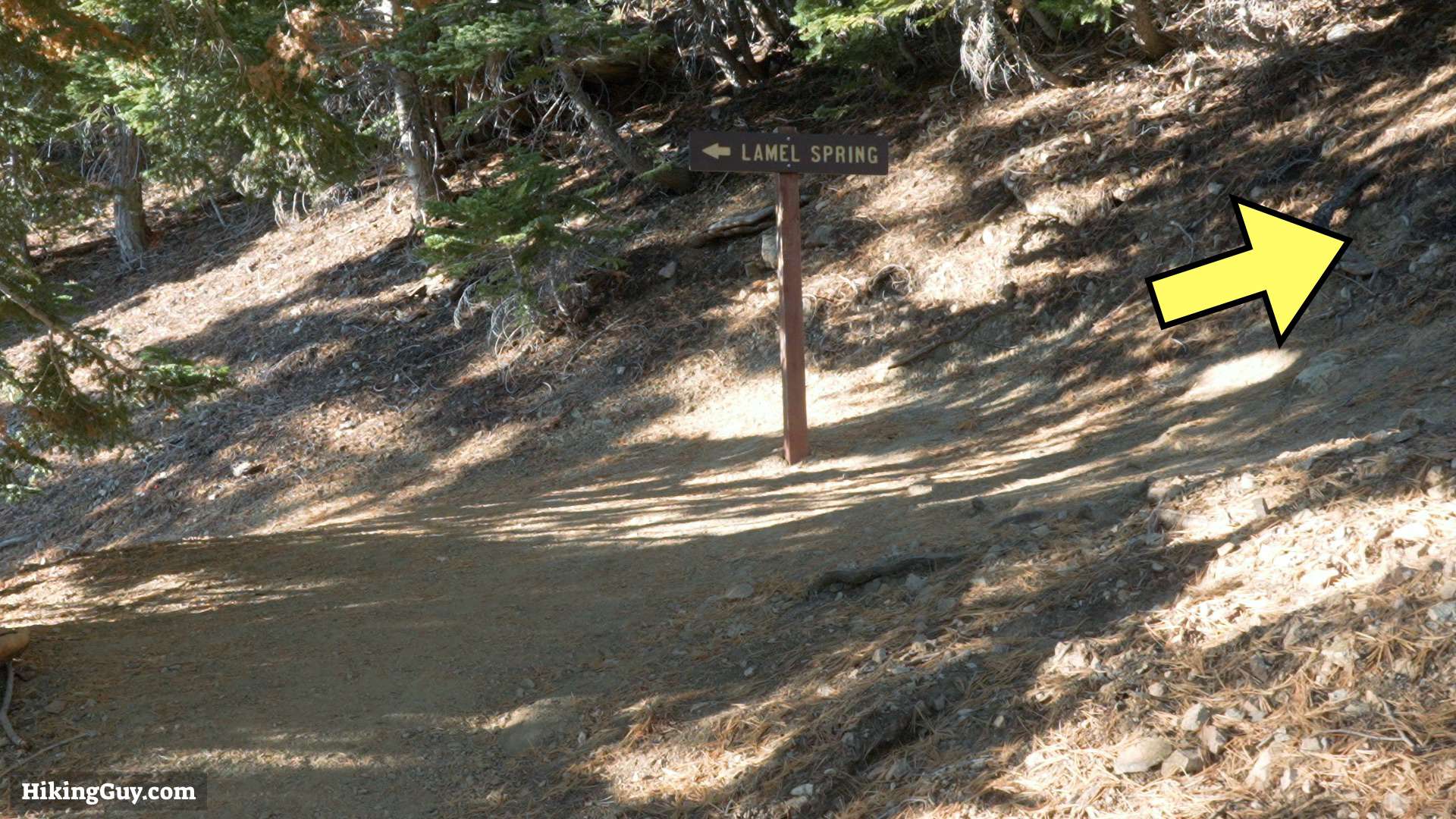
- I bring 2 liters of water. You can refill at Lamel Spring along the way.
- Trail runners and trekking poles are a good combo on the sl0pes here.
- There's not good (if any) cell reception here so bring your satellite communicator.
- In the winter after the snow and ice arrive, this fairly tame hike becomes more of a mountaineering experience. Give it a skip unless you have experience in these conditions.
Essentials I’m Using Now
- Garmin inReach Mini 2: Reliable SOS Everywhere on Earth
- Sawyer + CNOC Water Filter: Easy & Reliable Safe Water
- Nitecore NU25 Headlamp: Running late? Get home safe
- Altra Olympus 275: Favorite trail shoes right now, no blisters and very comfy.
- AllTrails Plus (30% off): Offline maps on your phone with the Plus level
- Full November 2025 Gear List →
Mount Baden-Powell Trail Maps

Click to activate map
Print Map, Work With It Yourself
Bring the Guide to Any GPS
Worth Noting

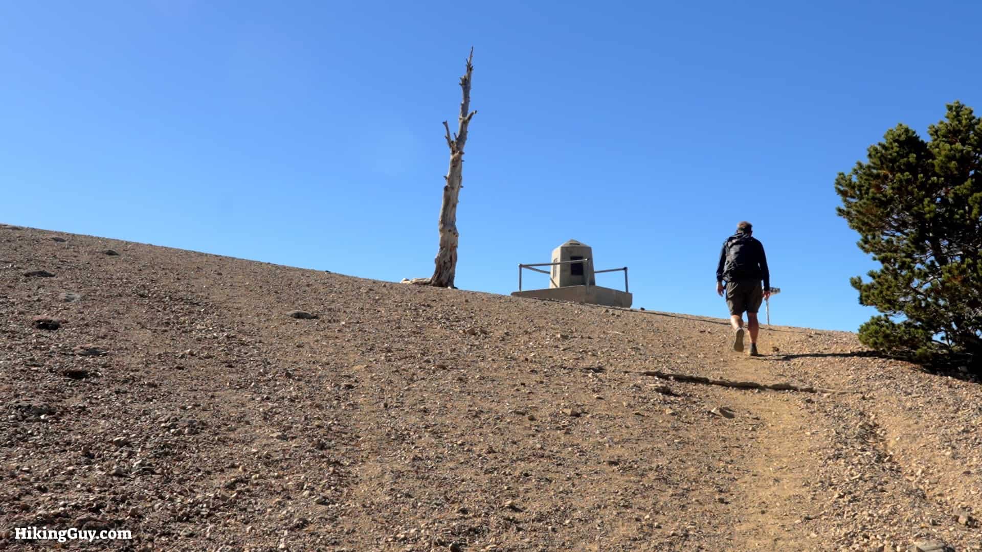
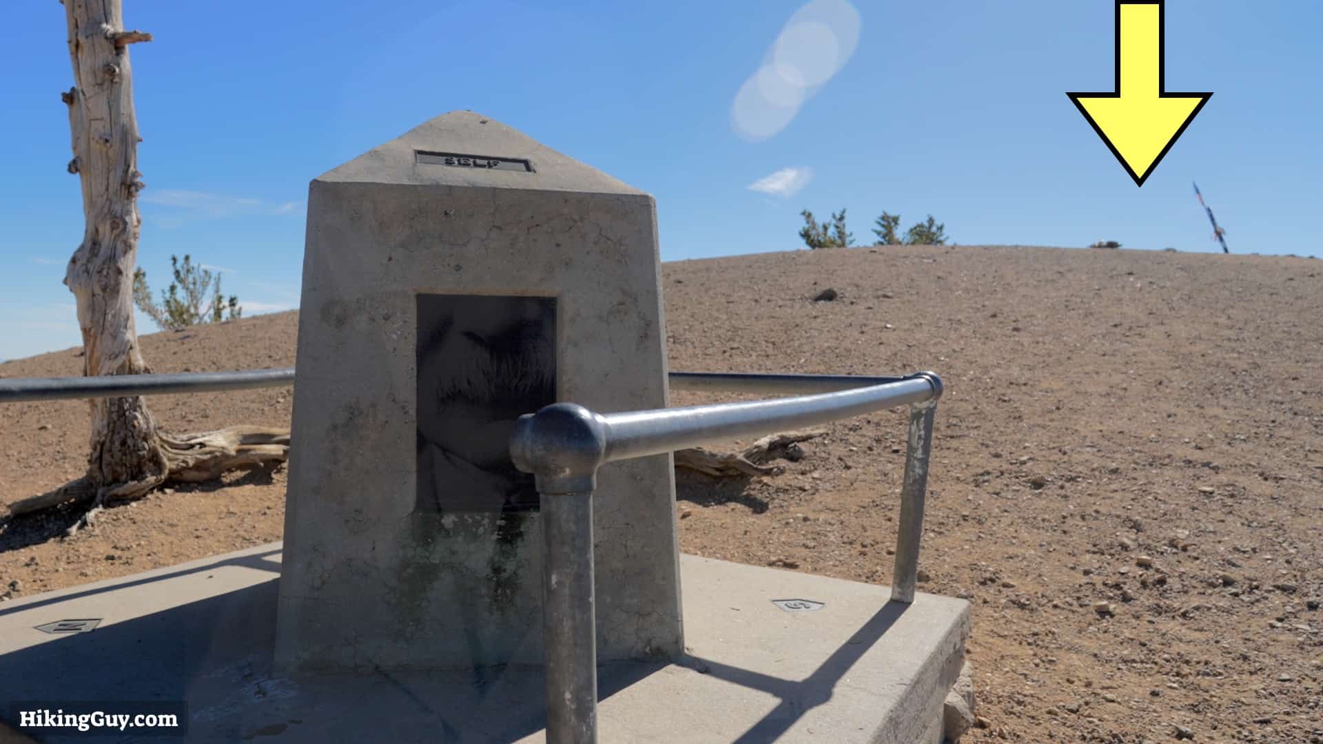
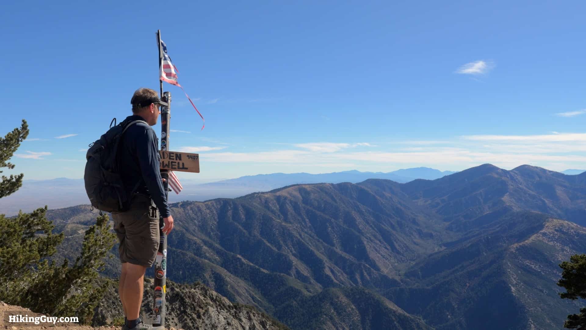
- Mt Baden-Powell was named after Lord Baden-Powell, who founded the Boy Scouts. In the 1950s, local Boy Scout chapters restored the trail here and named the mountain in his honor. Before that, this peak was called North Baldy.
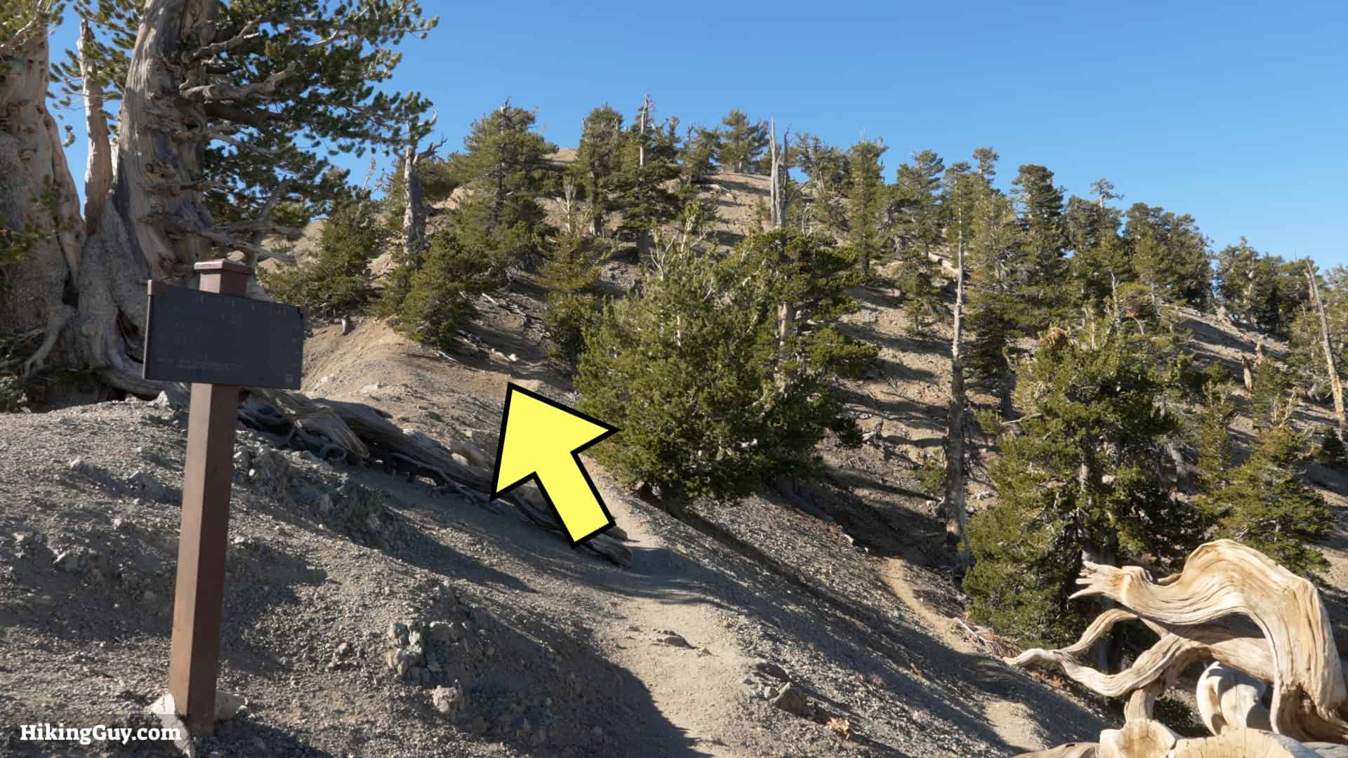
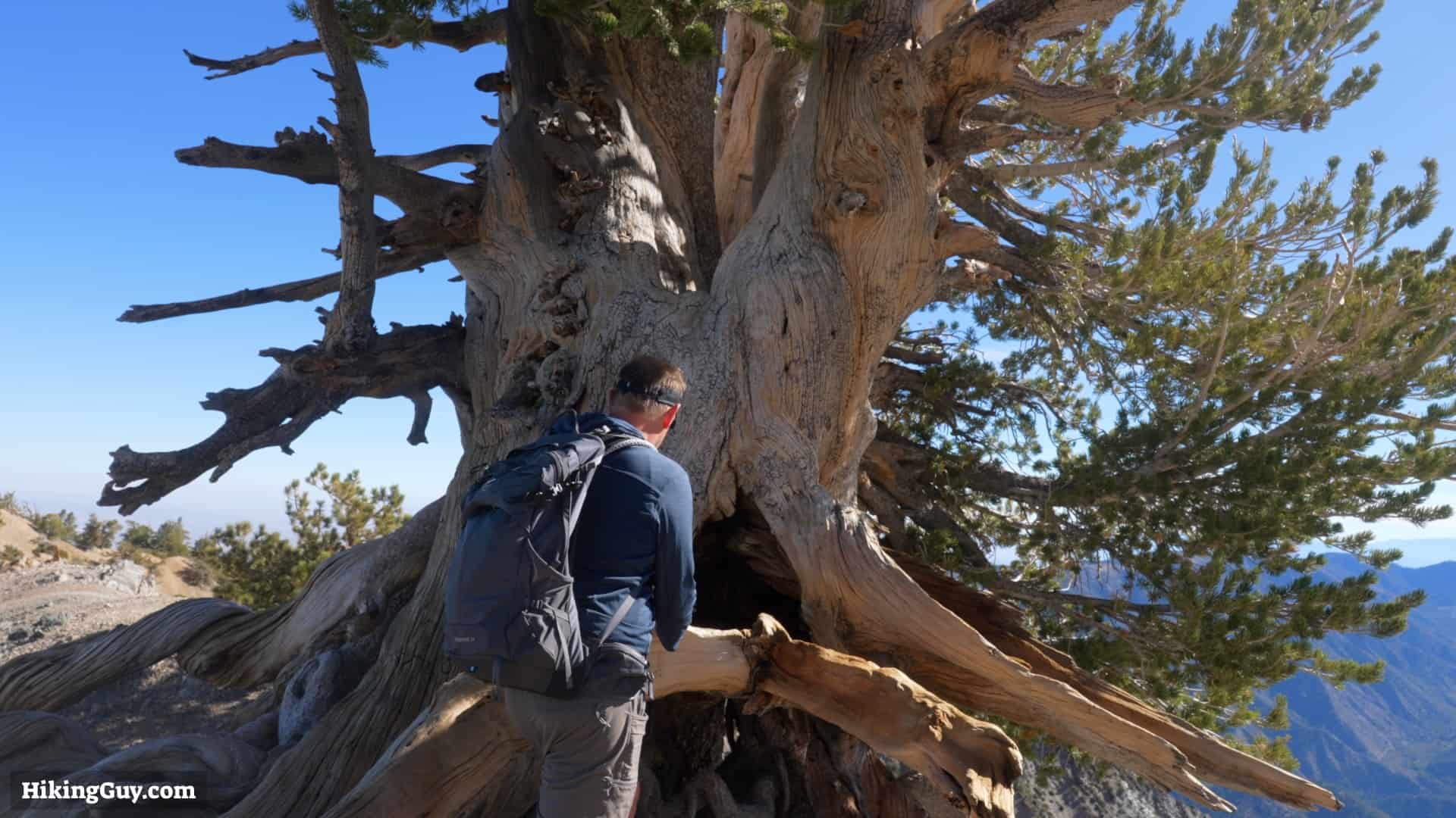
- Near the top, you'll see the Wally Waldron tree, named after a Boy Scout leader who restored the trail and created the Baden-Powell monument at the summit. The tree is approximately 1500 years old and is considered the oldest living thing in the San Gabriel Mountains.
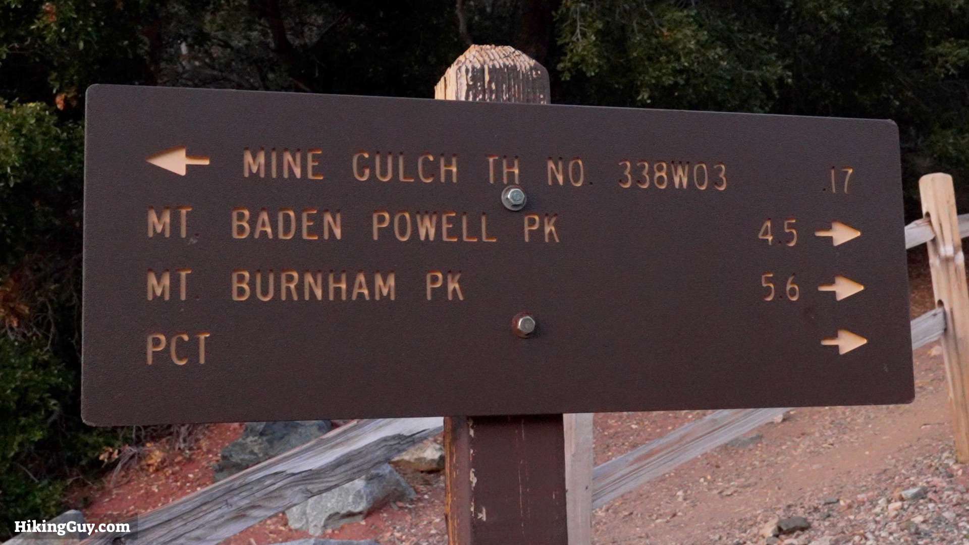
- Most of the hike follows the Pacific Crest Trail (PCT), which goes from the borders of Mexico to Canada. If you want more of the PCT without hiking its 2650 miles, read Wild: From Lost to Found on the Pacific Crest Trail, a best-selling book later adapted into a movie.
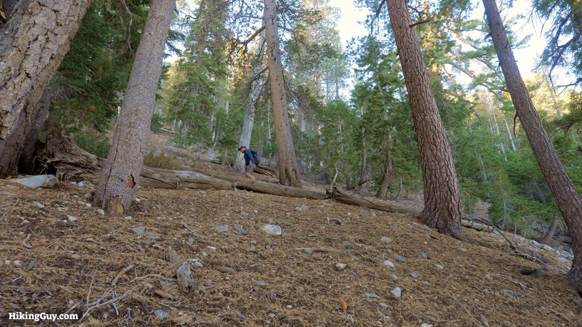
Mount Baden-Powell Hike Directions


Originally published December 10, 2023