Ernie Maxwell Scenic Trail Hike
Hike Stats
- Total Distance
- 5.2 miles
- Time
- 2-3 hours
- Total Climbing
- 740 feet
- Difficulty
- Easy
- Crowds
- Moderate
- Dogs
- Leashed
- Gear
- What I Use
- Weather
- Latest Report
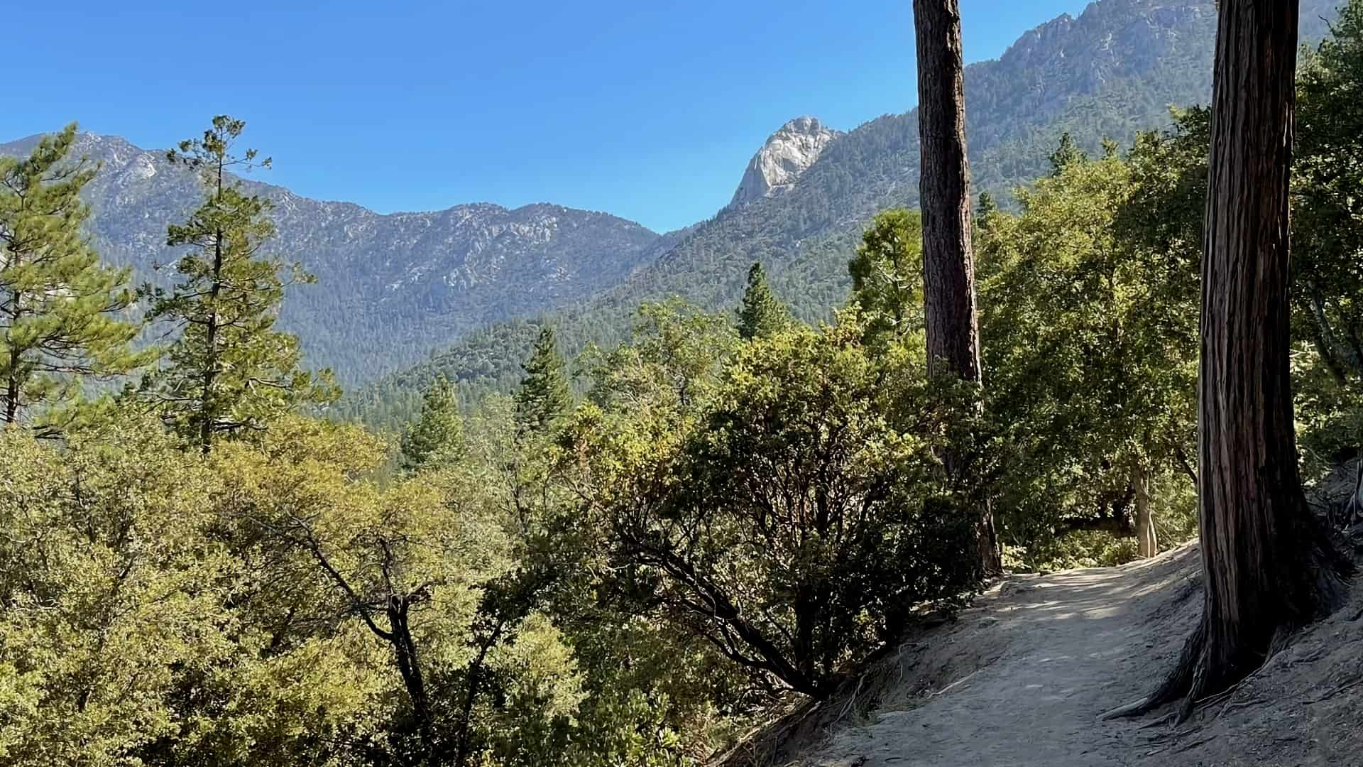
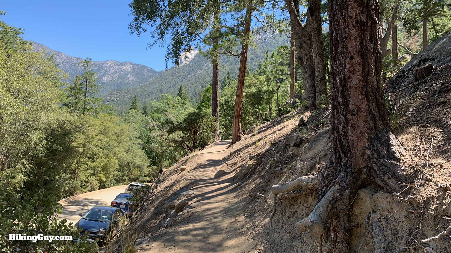
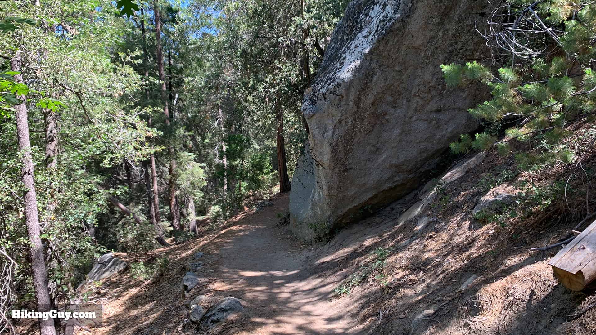
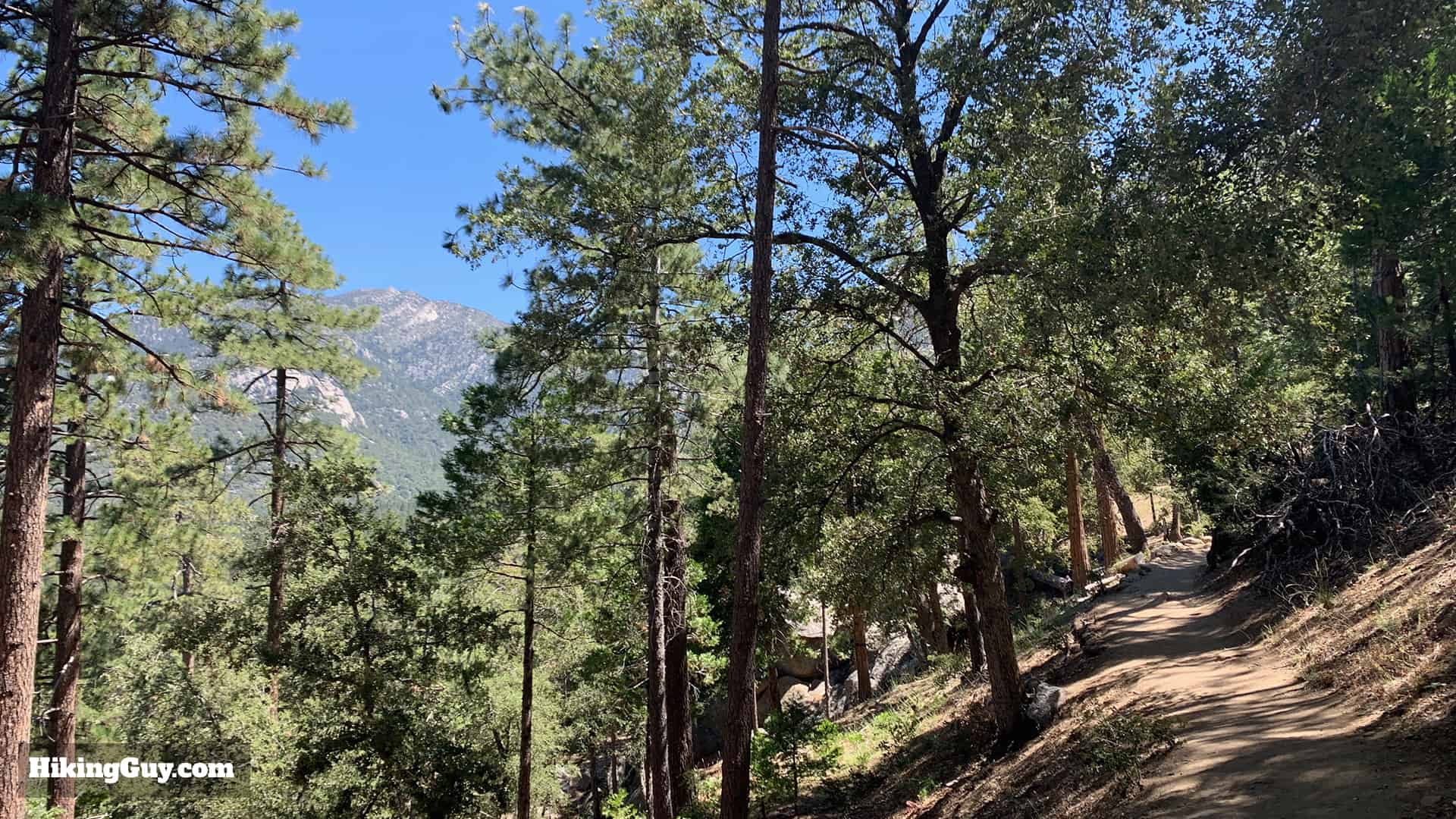
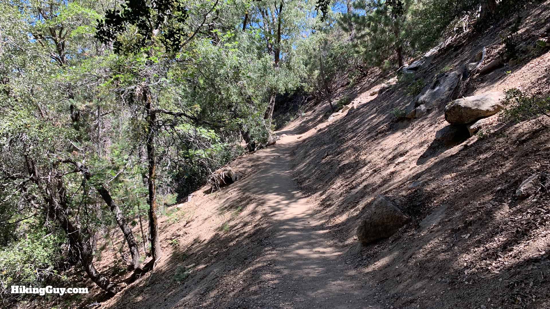
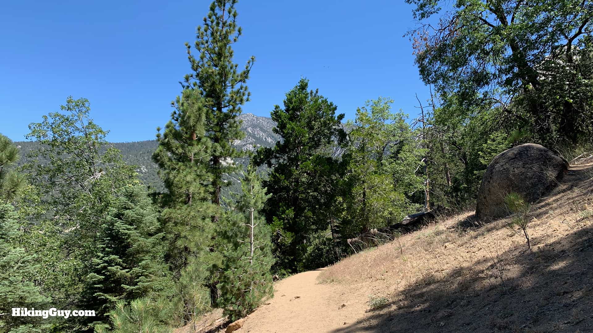
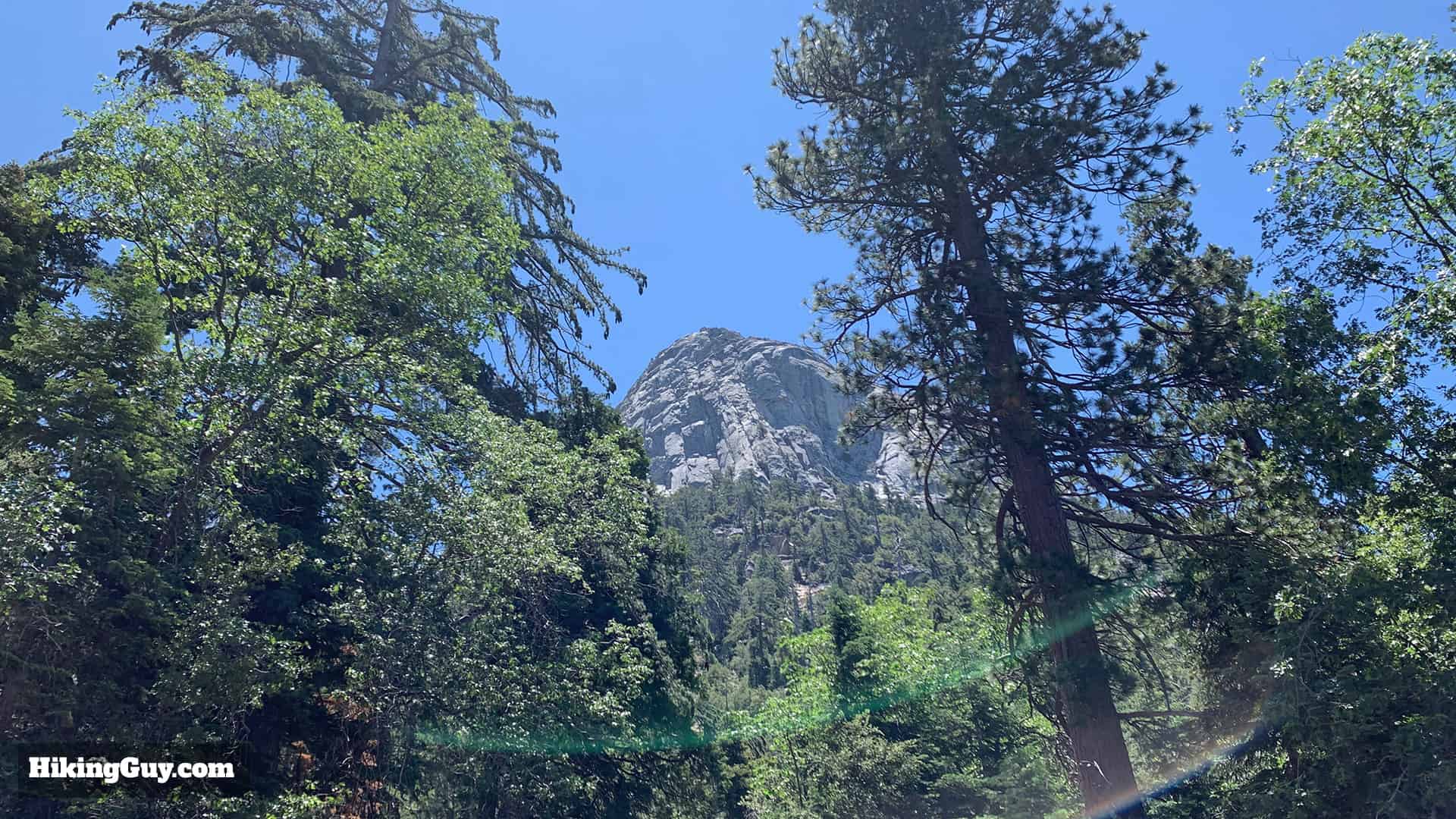
Tucked into the foothills around Idyllwild, the Ernie Maxwell Scenic Trail offers backcountry beauty without heading into the big mountains. This family-friendly hike is easy to follow, has a gentle climb, and offers lots of shade. Even though you're right next to a residential area, you'll feel like you're miles away as you hike through the forest.
People need trails like this one. Experienced hikers and backpackers can take off on the Devil’s Slide Trail, but the family or individual looking for a pleasant little outing will prefer the Ernie Maxwell. It’s a good introduction to the San Jacinto Mountains. - Ernie Maxwell
Where Is The Ernie Maxwell Scenic Trail?
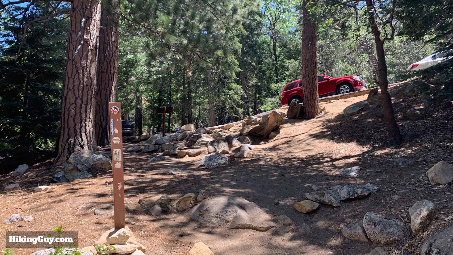
Okay, to start, there are two ends of the Ernie Maxwell Trail, one end is on Tahquitz View Drive in Idyllwild, the other is in Humber Park. Most guides will recommend that you start in Humber Park, but I recommend starting on Tahquitz View Drive. Why?
- You don't need a parking pass when you start on Tahquitz View Drive.
- You go uphill on the first half of the hike, and then it's all downhill for the second half. This way you get the hard work done in the beginning and can enjoy the way back.
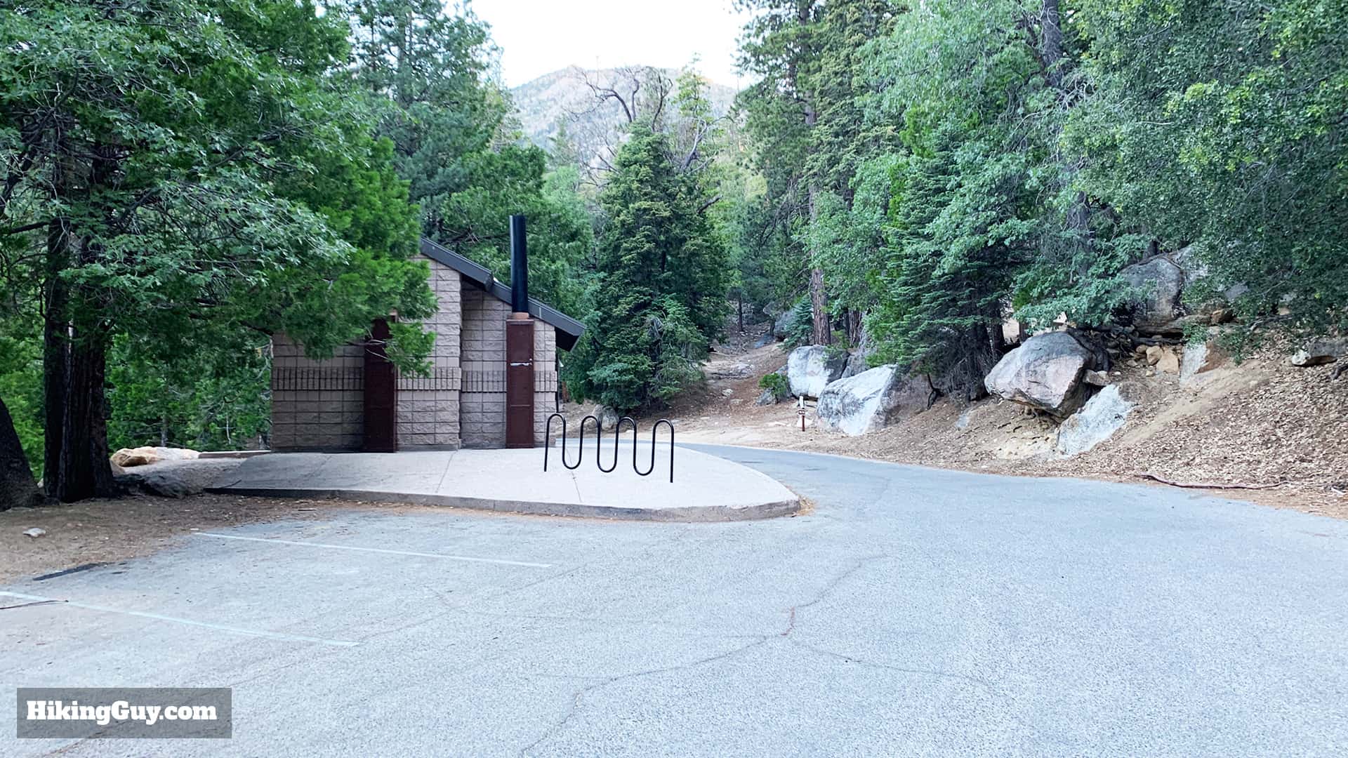
- There are bathrooms at the mid-way point in Humber Park.
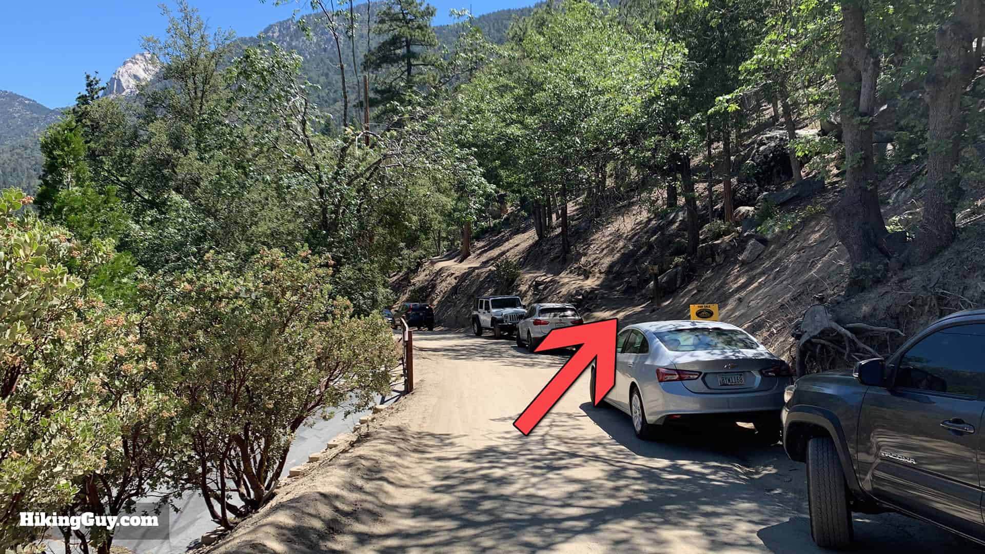
So in this guide, we're starting on Tahquitz View Drive, and you can use this trailhead address:
54980 Tahquitz View Dr, Idyllwild, CA 92549
This is a private address, please respect the local residents and their space. Don't knock on the door, park in a driveway, leave trash, block a driveway, or otherwise do something stupid.
There is free parking along the side of the road. Park snug against the side (see the pictures below).
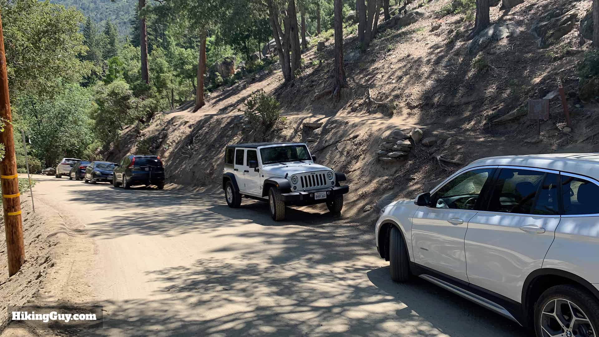
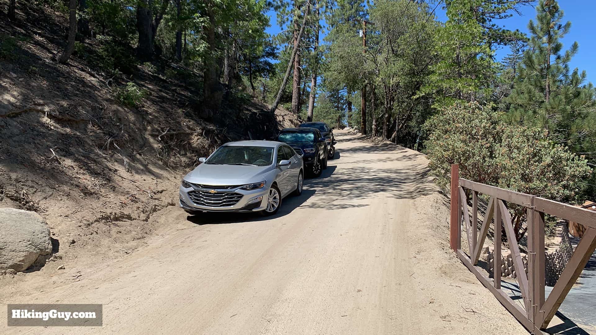
If there's no street parking, you can always get a parking pass at the ranger station, drive to Humber Park, and do the hike in reverse. If you have a National Parks Pass, you can use that at Humber Park.
Gear For the Hike
You don't need any special hiking gear for the Ernie Maxwell Trail, it's great for beginners. If you don't have hiking gear, fitness clothes will work fine. It's a shady hike but bringing a big water bottle is a good idea since you might sweat a little bit on the uphill.
Essentials I’m Using Now
- Garmin inReach Mini 2: Reliable SOS Everywhere on Earth
- Sawyer + CNOC Water Filter: Easy & Reliable Safe Water
- Nitecore NU25 Headlamp: Running late? Get home safe
- Altra Olympus 275: Favorite trail shoes right now, no blisters and very comfy.
- AllTrails Plus (30% off): Offline maps on your phone with the Plus level
- Full November 2025 Gear List →
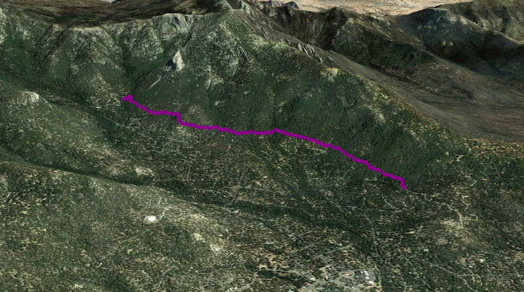
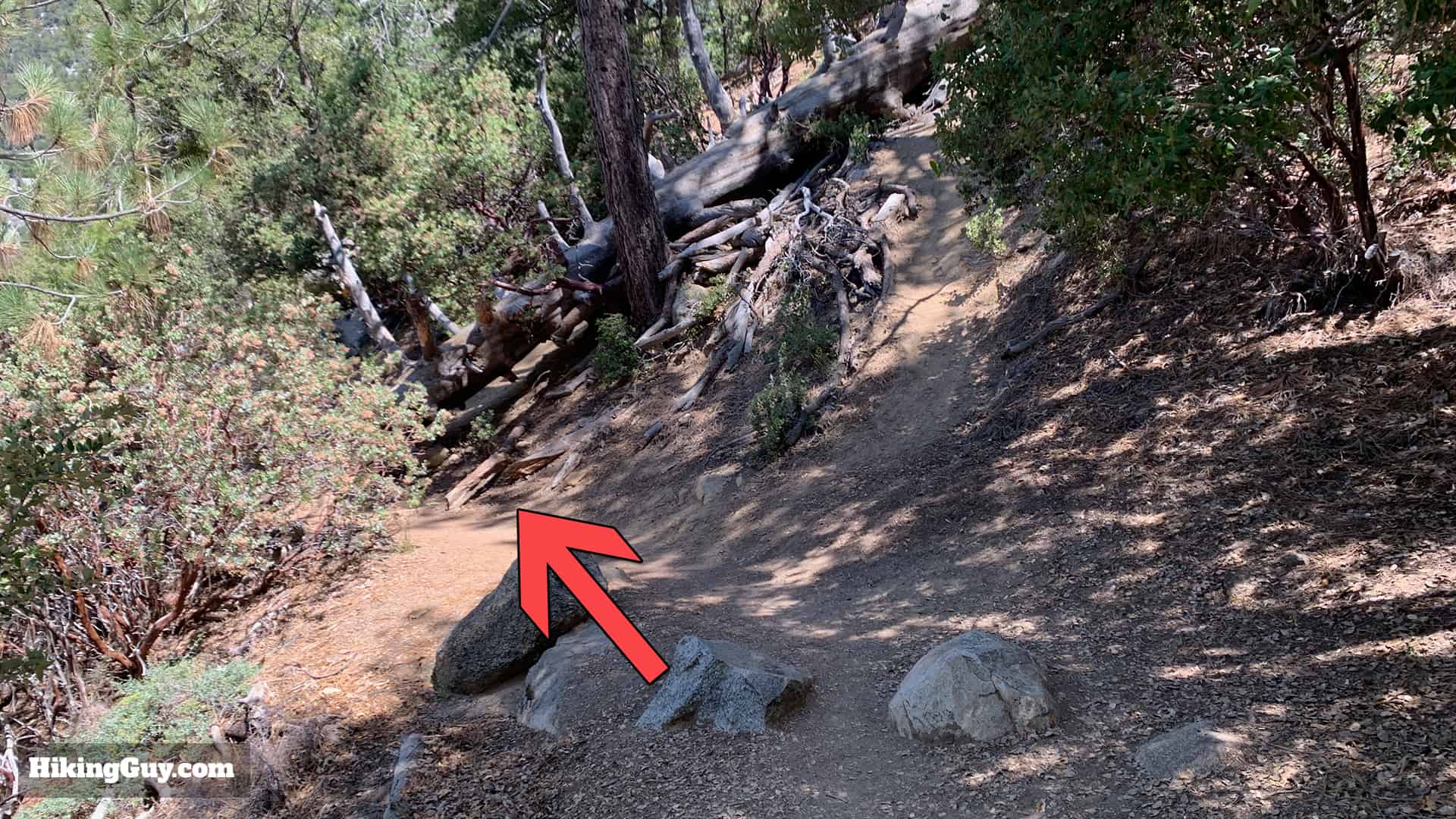
Ernie Maxwell Scenic Trail Maps
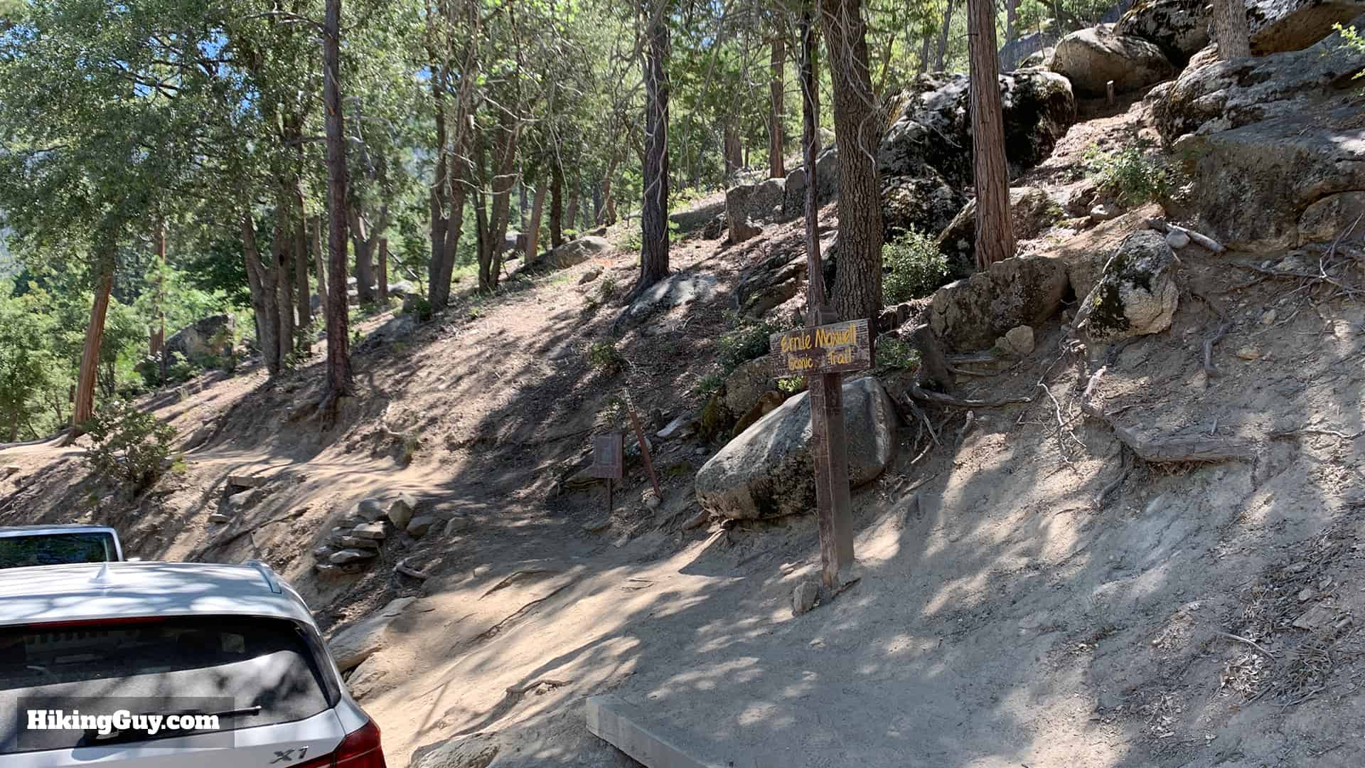
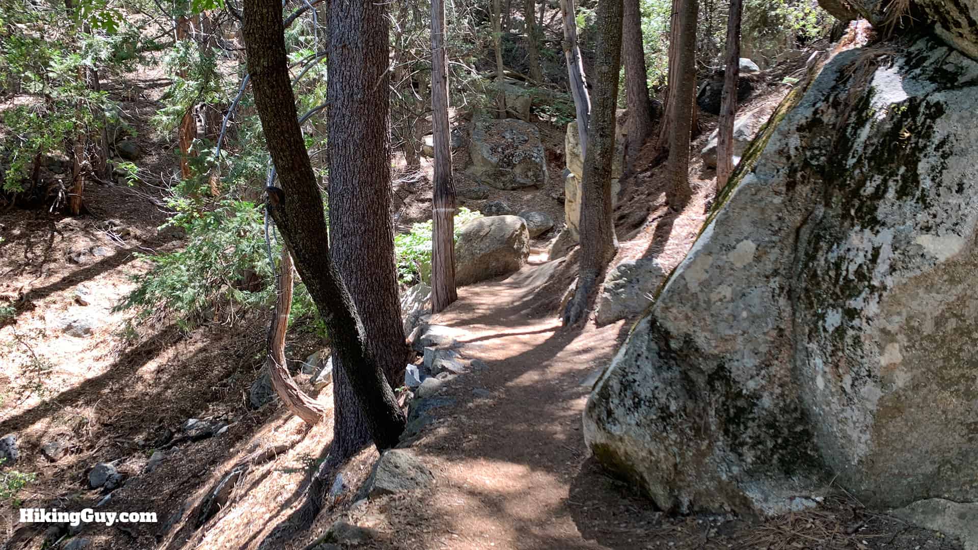
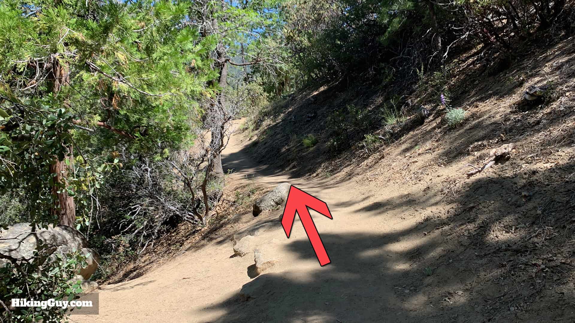
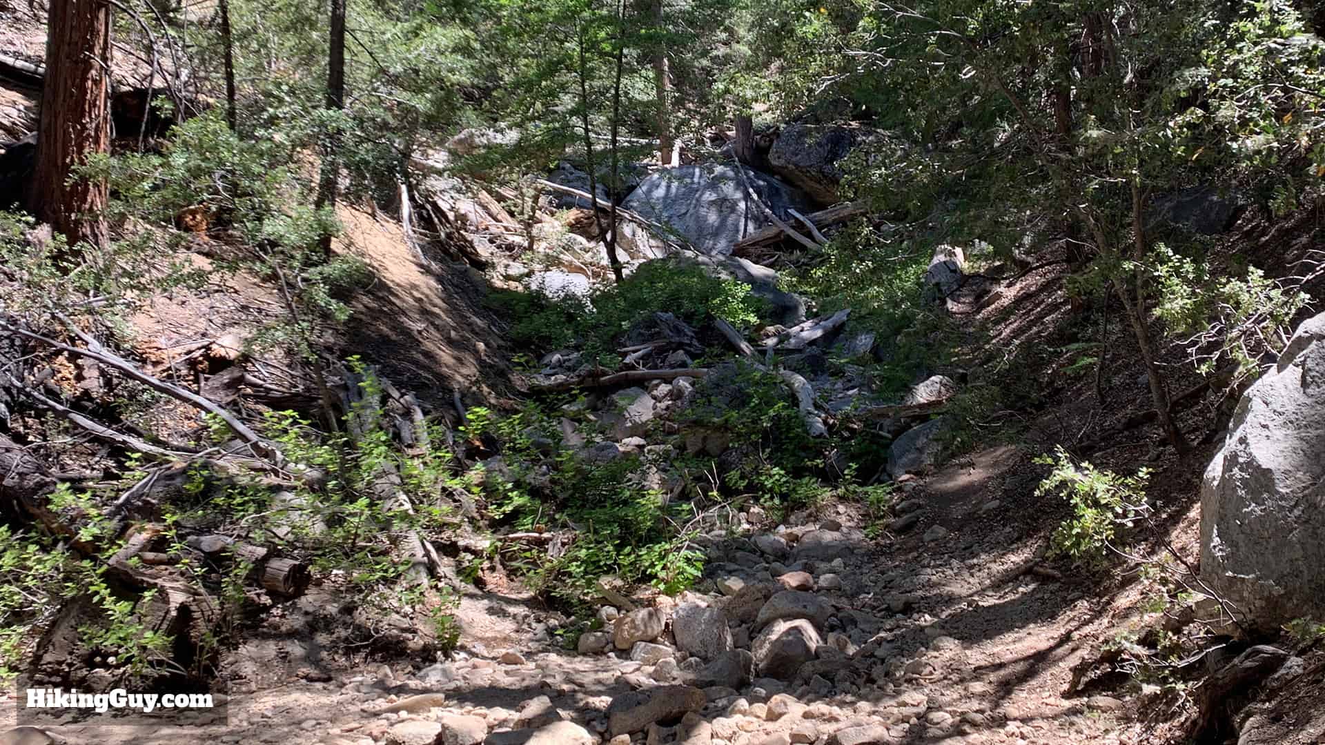
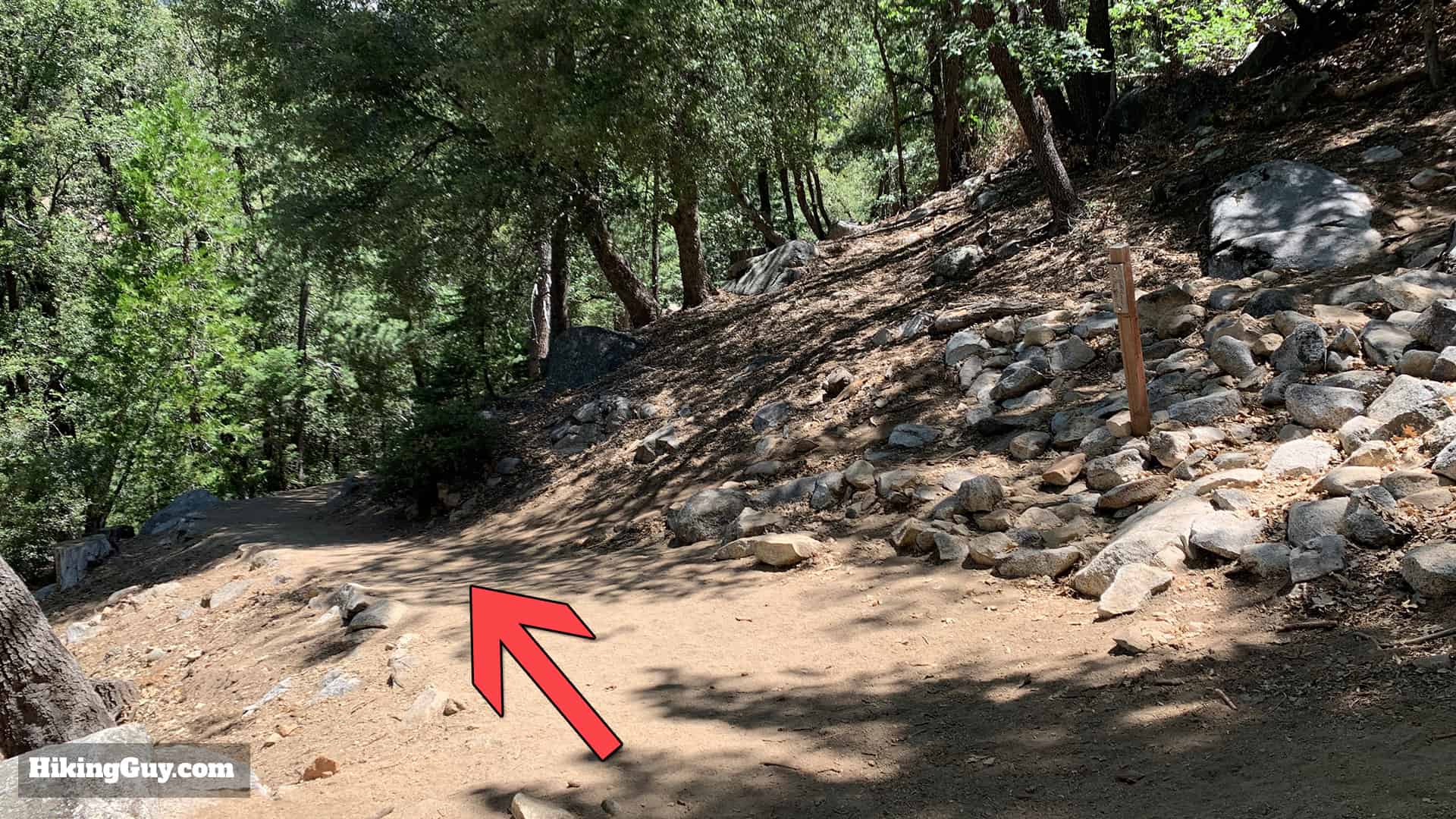
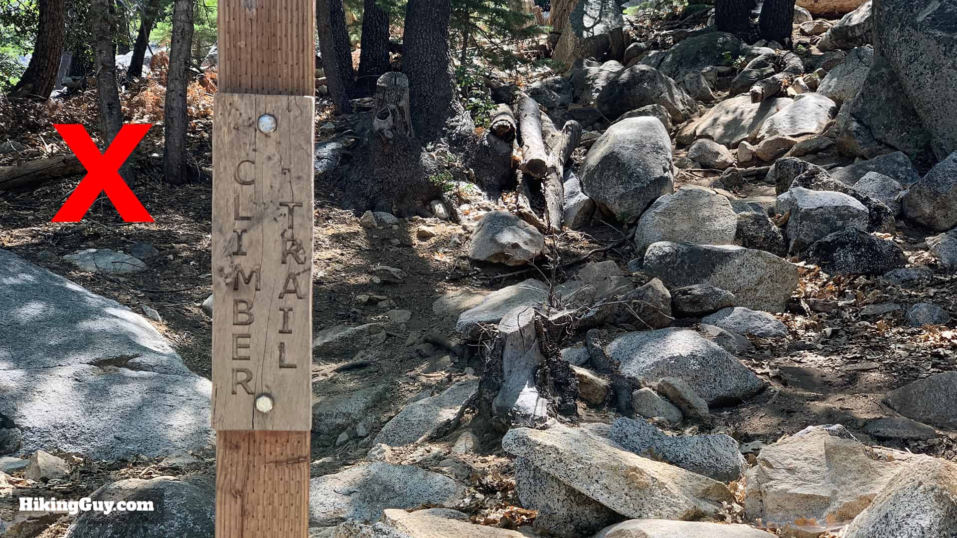
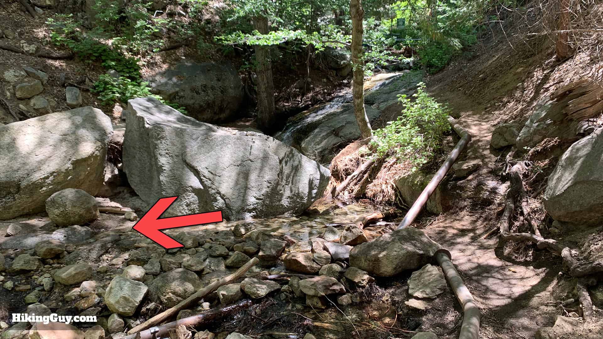
The nice thing about the Ernie Maxwell Scenic Trail is that it's a straight shot. There are some little side trails, which I'll show you below, but otherwise you're hiking up to the end of the trail in Humber Park, then back down to where you parked.
There are other guides that incorrectly state the elevation gain at 300 feet. It's more like 740 but the good news is that the climbs are gentle.

Hike Brief

- You don't need any permits to hike on this trail (unlike other hikes in the area where you need a day-use permit).
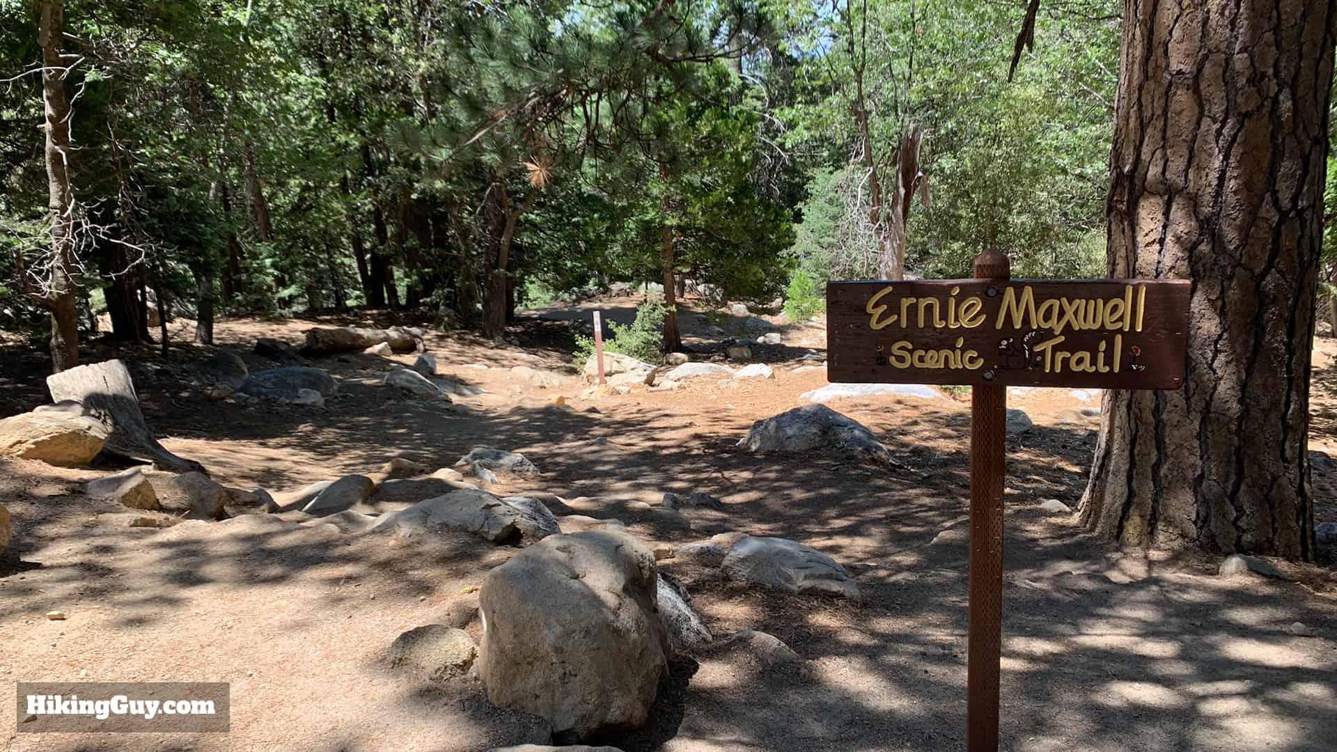
- The trail is named after the late Ernie Maxwell, a prominent Idyllwild resident, founder of the town paper, and local conservationist. Although Ernie passed in 1994, the trail got its name in 1988, so Ernie got to enjoy hiking his namesake quite a bit.
- The actual trail was built in 1959 as a way for horses to transit town without having to walk on the roads. Ernie got permission from the Forest Service and then convicts from Riverside County completed the work.
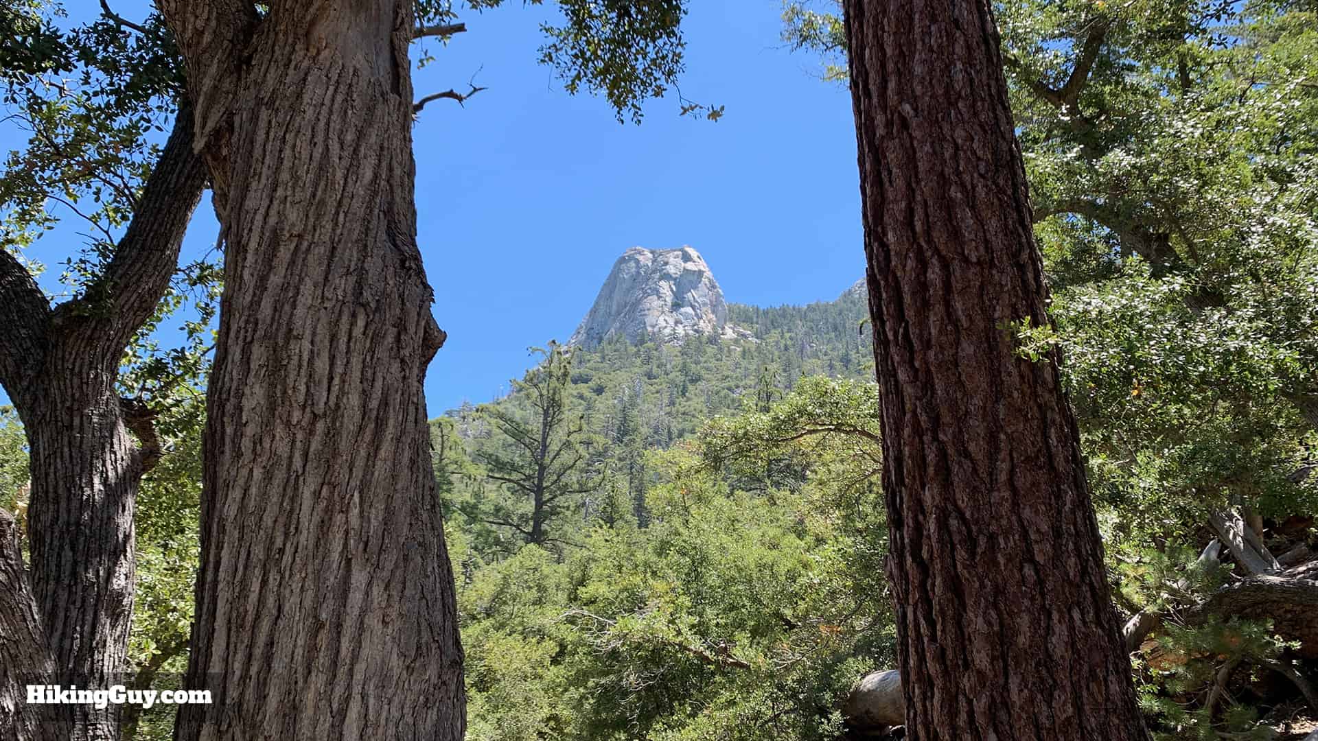
- Because of its elevation and shade, the trail offers a ton of biodiversity. Keep your eyes open for cedar, pine, and oak trees, stellar jays, white-headed woodpeckers, and a multitude of wildflowers.
Ernie Maxwell Scenic Trail Directions
Walk the trails, enjoy the fresh air. And get to know these mountains. The mountains need more friends. - Ernie Maxwell

Originally published August 19, 2019