Hike Holy Jim Falls Trail
Hike Stats
- Total Distance
- 3.4 miles
- Time
- 1:30 hours
- Total Climbing
- 600 feet
- Difficulty
- Easy
- Crowds
- Quiet
- Dogs
- Leashed
- Gear
- What I Use
- Weather
- Latest Report
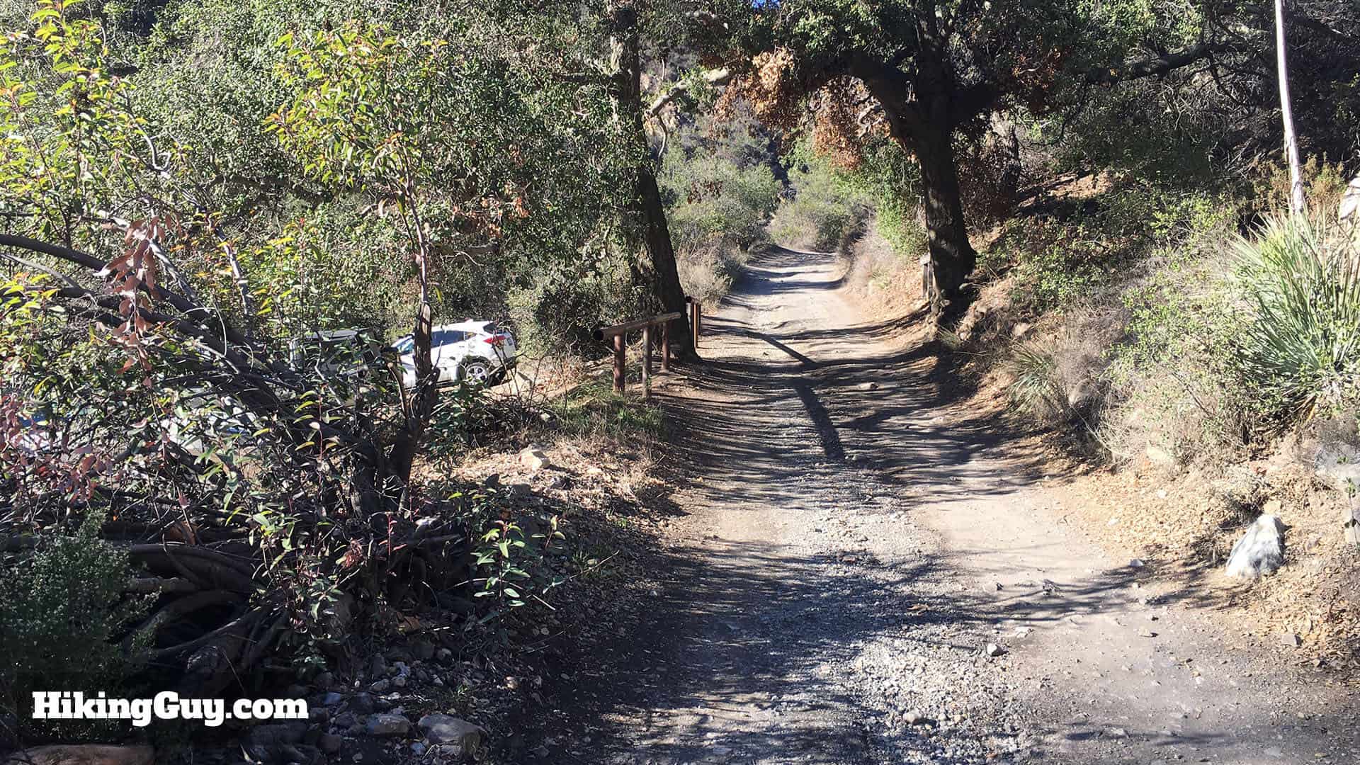
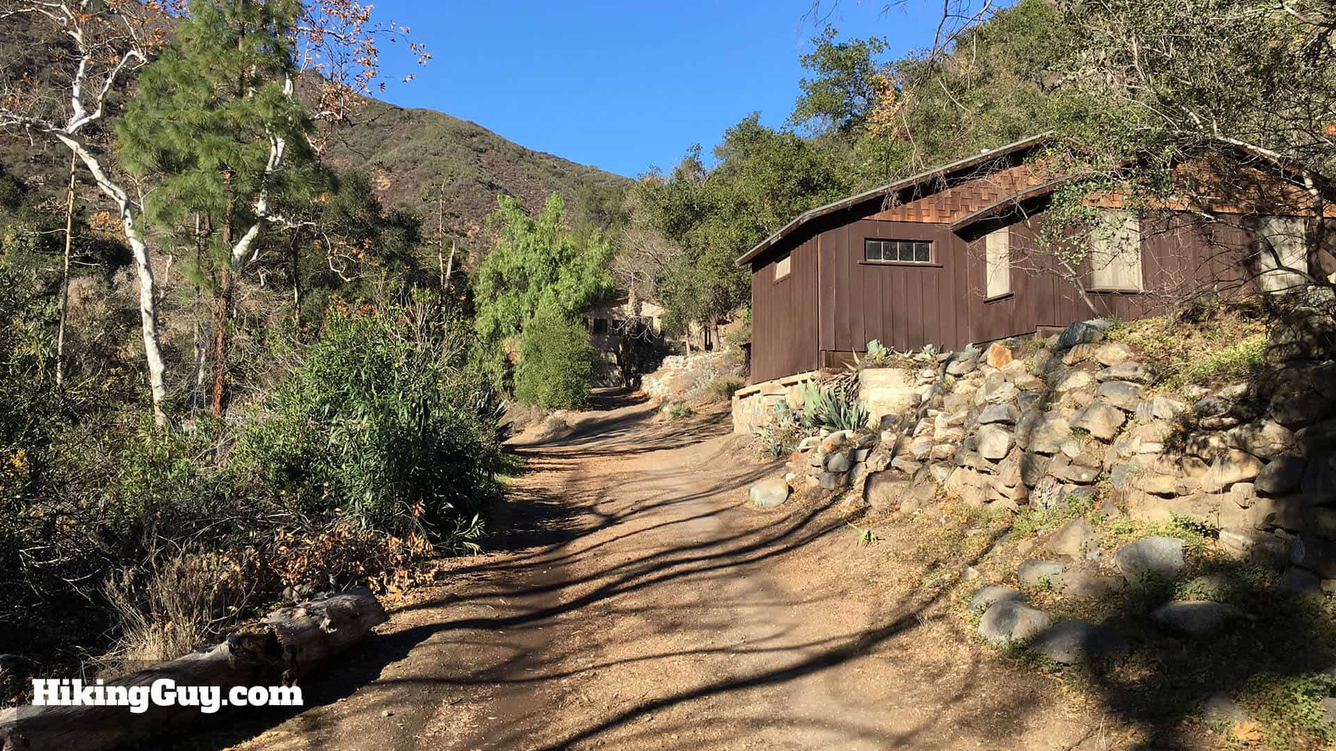
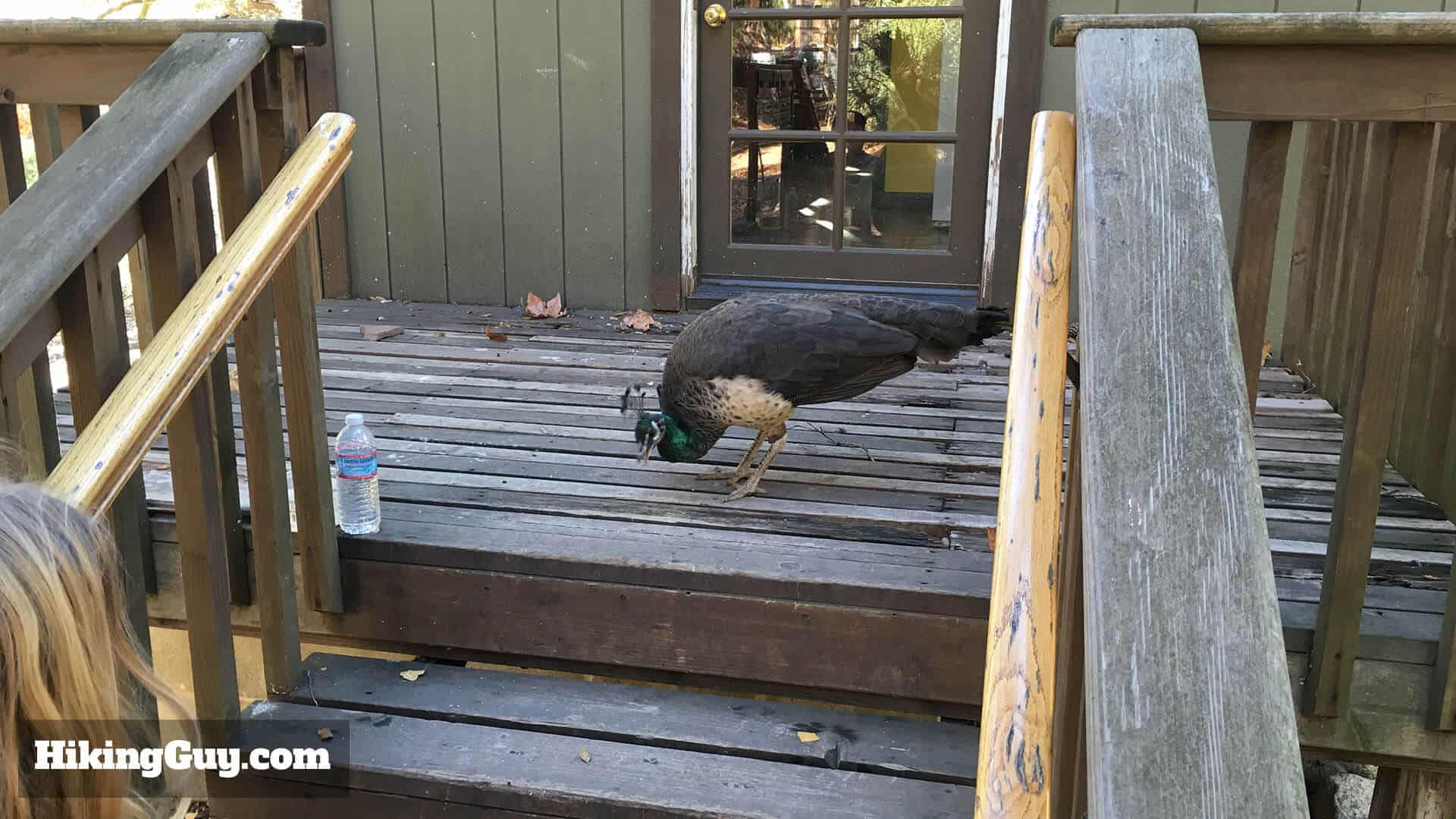
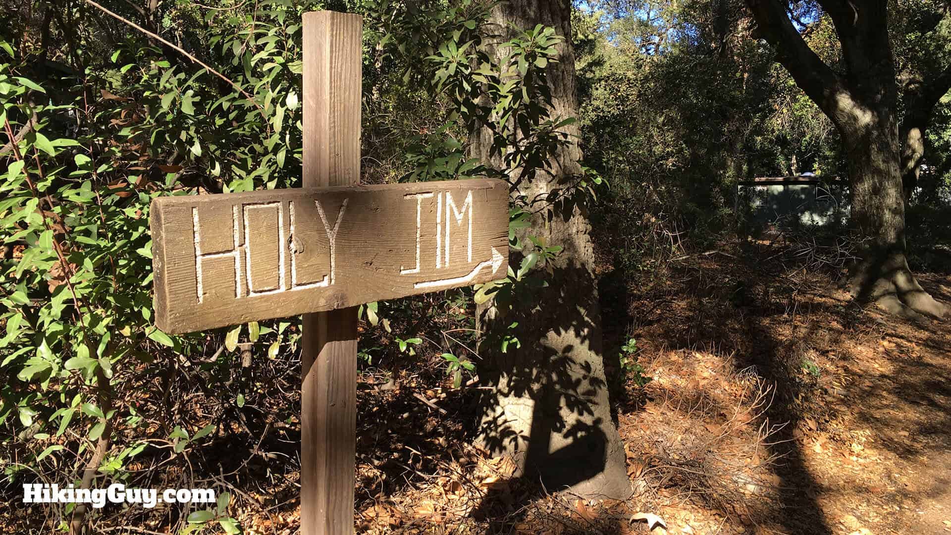
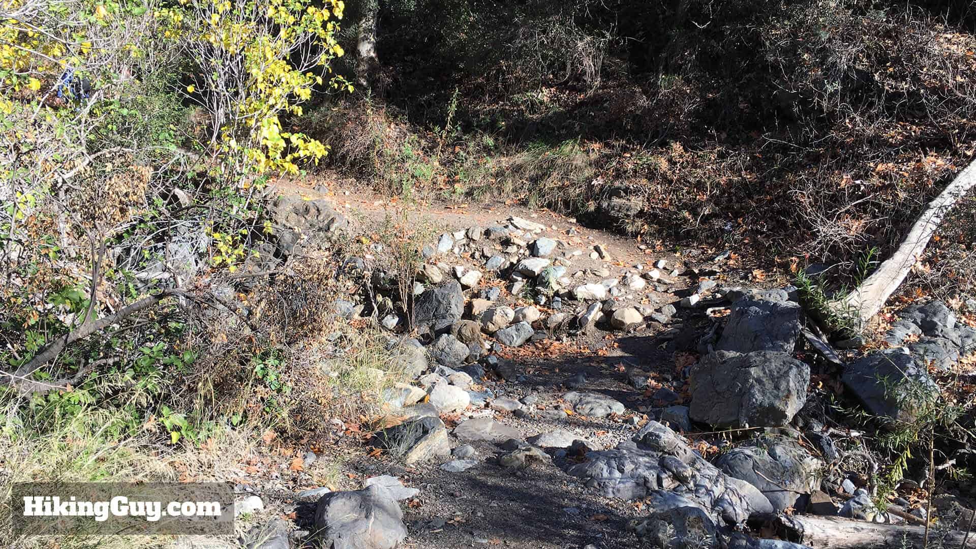
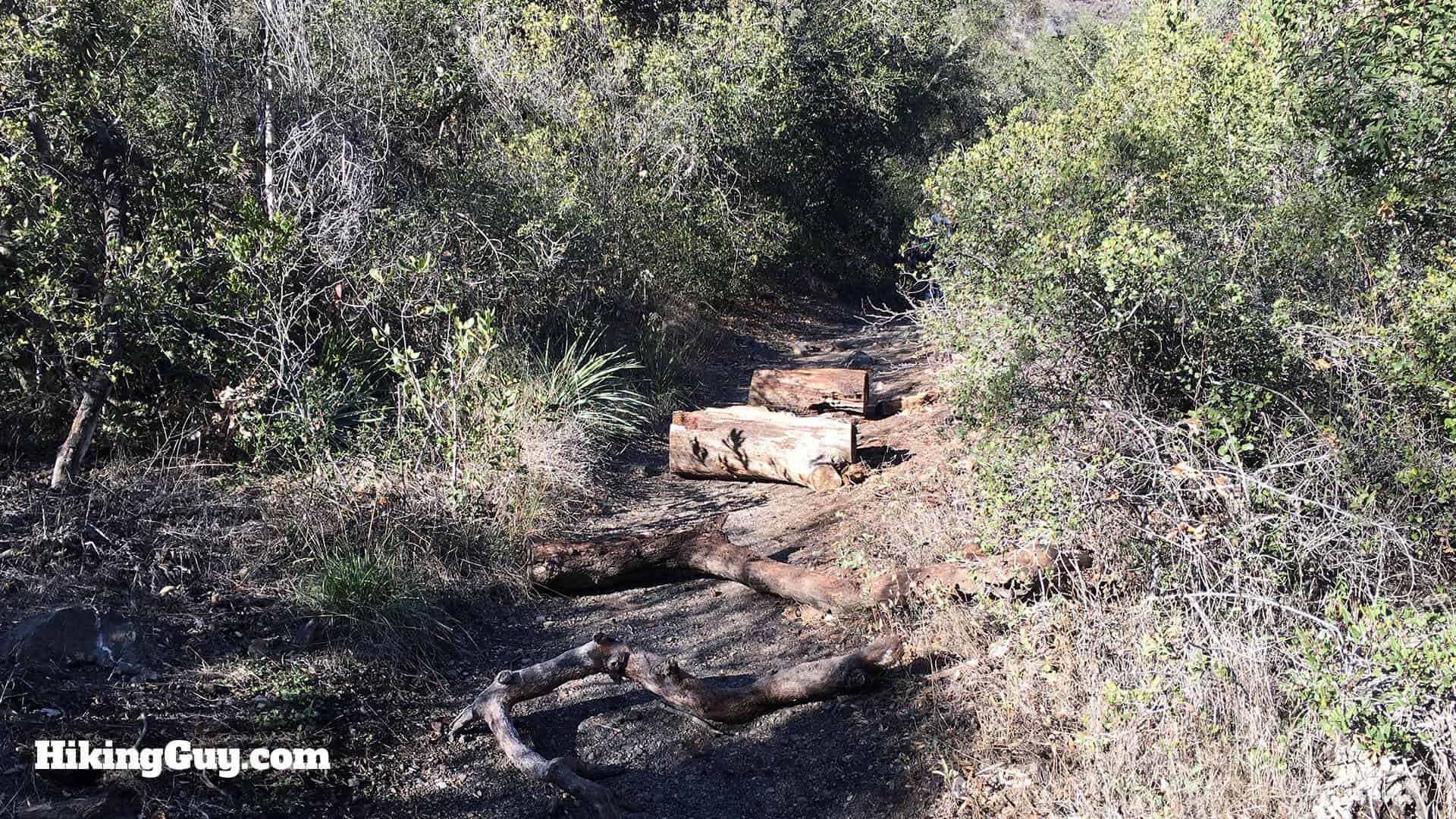
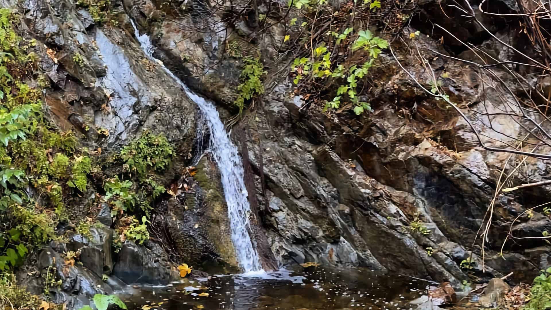
Tucked away in a hidden canyon in Cleveland National Forest, the hike to Holy Jim Falls is fun, easy, and great for families. The area recovering from the 2018 Holy Fire is still very lush and offers forest and tree cover not often found in Southern California. You'll hike up a gentle gradient along Holy Jim Creek and then turn off onto the Holy Jim Falls spur trail, which narrows as it approaches the falls.
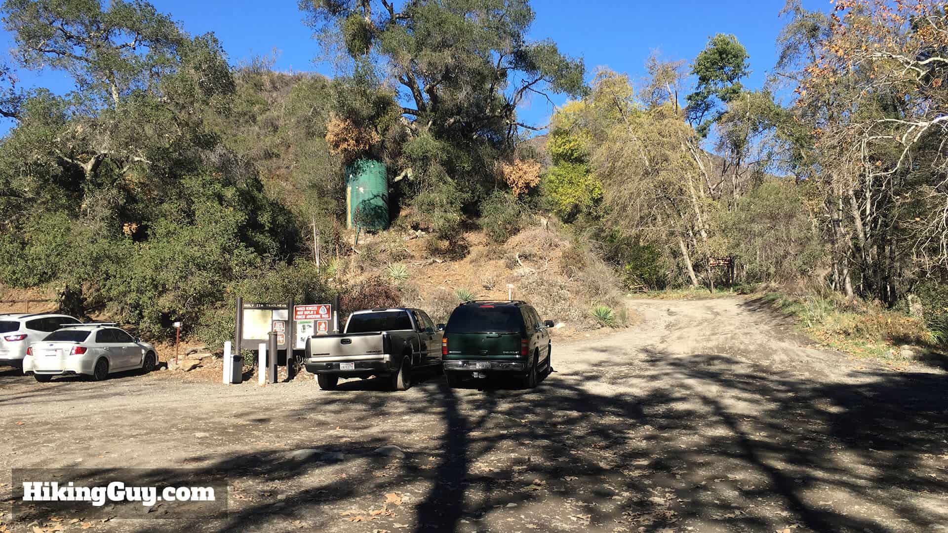
Getting to the Holy Jim Falls Trail
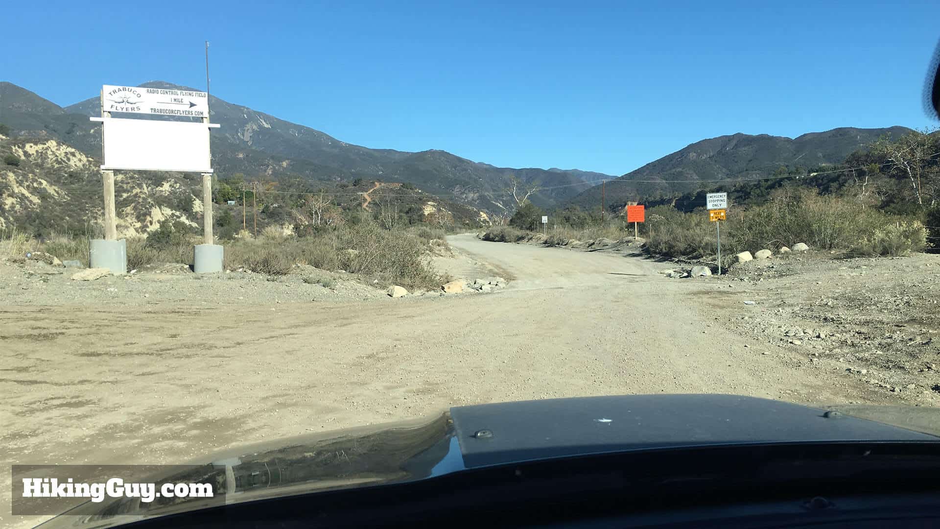
Getting to the Holy Jim Falls Trail is half the fun. First off, use this as your Google Maps address:
Holy Jim Trailhead, Trabuco Creek Rd, Corona, CA 92883
The last 5 or so miles drive to the trailhead are on a dirt road, and it's best done with a higher-clearance vehicle, but I've seen sedans do it before. Just take it slow and beware of potholes. If a Prius can do it (it can), you can do it too.
You need a parking pass for the Cleveland National Forest. I use the affordable National Parks Pass, which gets me in every national park, national monument, and national forest. You can also use an (Southern California only) Adventure Pass, or buy a $5 day permit from the Trabuco General Store.
Gear for the Hike
This is a pretty easy hike that you can do in fitness clothes. There can be poison oak along the last section of the hike, so you should either be careful or wear long pants.
Essentials I’m Using Now
- Garmin inReach Mini 2: Reliable SOS Everywhere on Earth
- Sawyer + CNOC Water Filter: Easy & Reliable Safe Water
- Nitecore NU25 Headlamp: Running late? Get home safe
- Altra Olympus 275: Favorite trail shoes right now, no blisters and very comfy.
- AllTrails Plus (30% off): Offline maps on your phone with the Plus level
- Full December 2025 Gear List →
Holy Jim Falls Trail Maps
Hike Brief
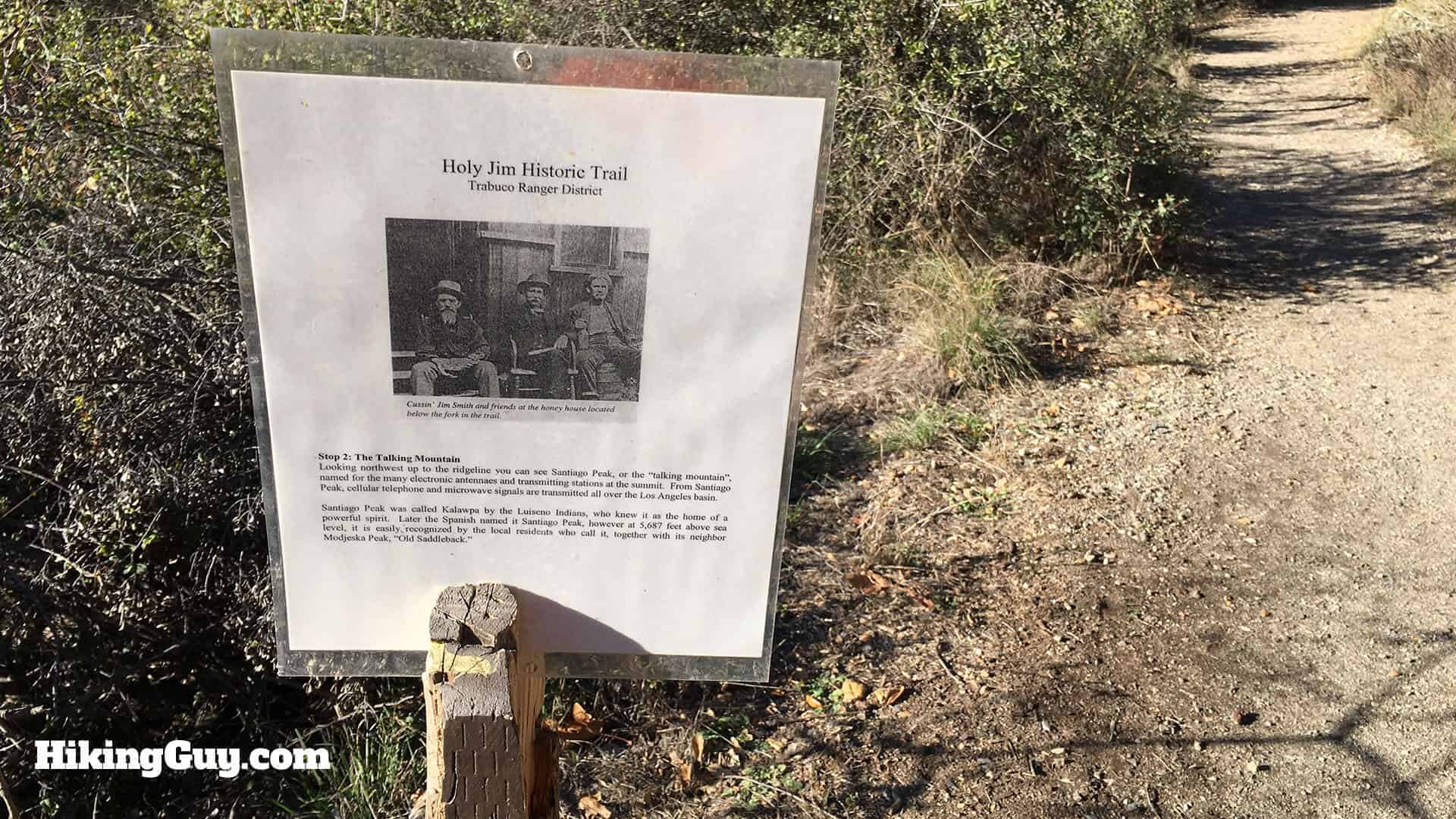
Why is this area called Holy Jim Falls? Well, in the 1870s this area was popular with beekeepers, and there was one called James T. Smith, who evidently was a bit of an unsavory character. He earned the nicknames of "Cussin' Jim", "Lying Jim" and "Greasy Jim." To irritate him, his neighbors started calling him "Salvation Jim" or "Holy Jim." When government surveyors came through and asked who owned the land, Jim's clever friends said "Holy Jim," forever etching this joke into geographical history.

There's also some sad history at Holy Jim Canyon. It was here on January 5, 1908, that the last confirmed grizzly bear kill in California occurred. The California Grizzly adorns the state flag today, but they are extinct (in CA). It wasn't always that way. Grizzlies used to roam all of the lower areas of Cleveland National Forest up to the 1860s.The government put a bounty of $10 a head on the grizzly, and by the 1870s, they were mostly gone.
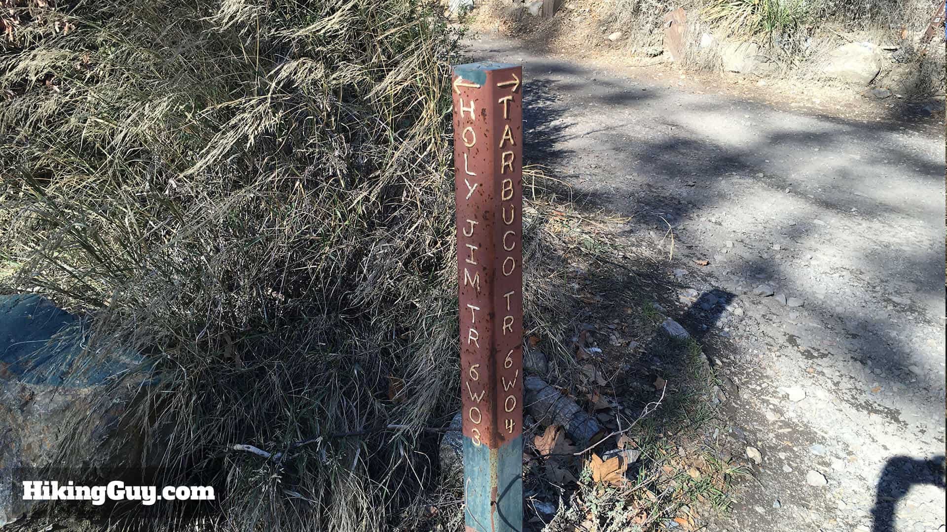
The hike to Holy Jim Falls is a nice, easy hike. If you want to hike to the top of Saddleback Mountain, it's a serious effort and best left to hikers with experience and fitness. Here's what's involved with the hike to Saddleback Mountain. These two hikes share the trail for a while, so you'll see signs for Saddleback / Santiago peak as well.
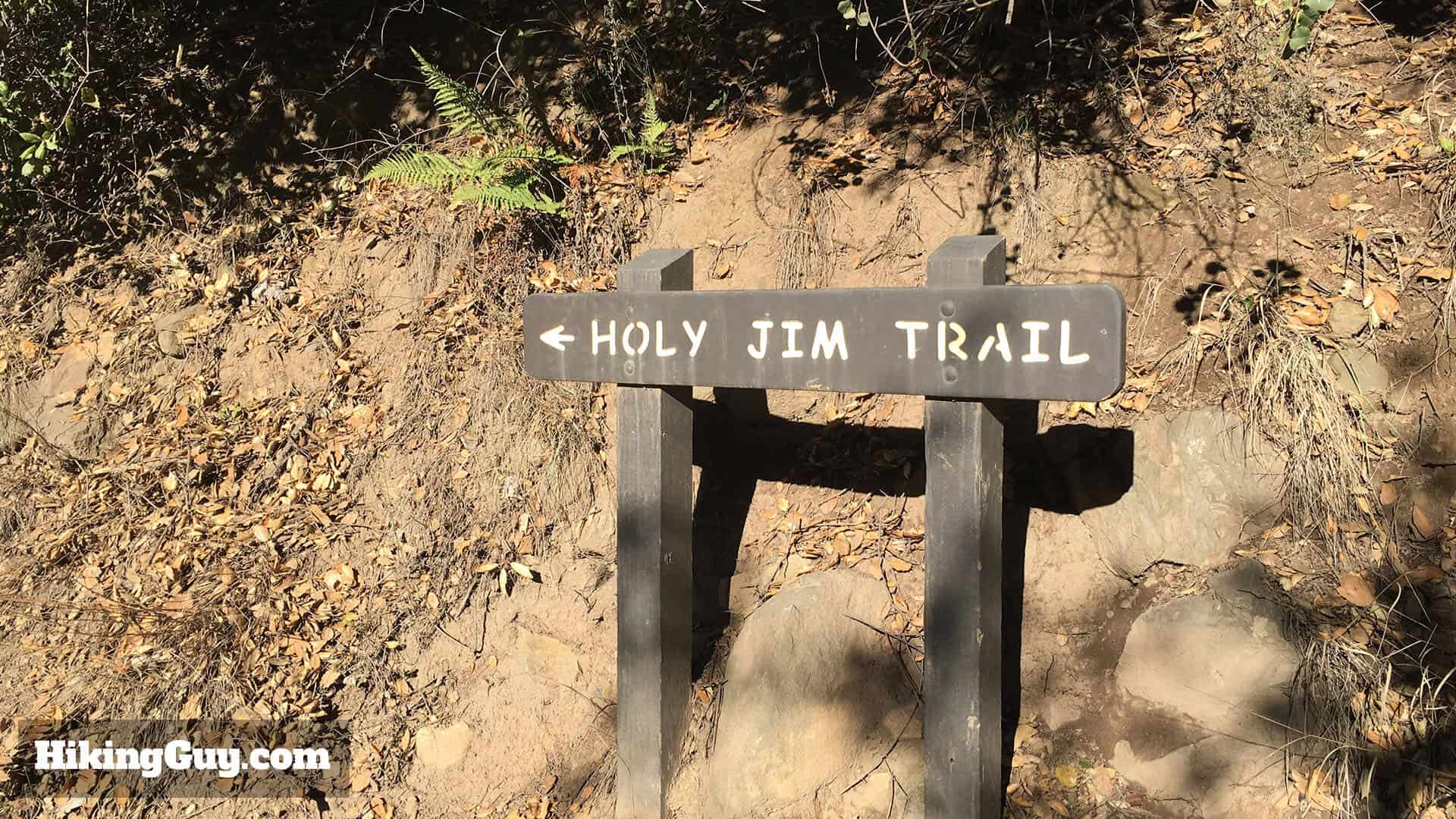
Holy Jim Falls Hike Directions