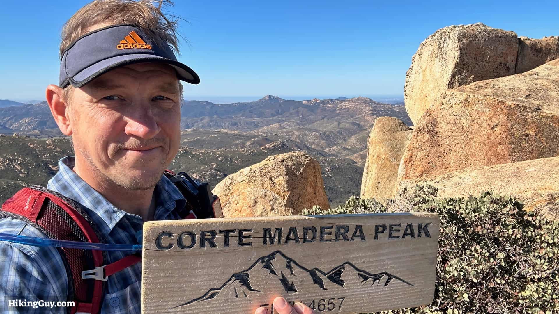
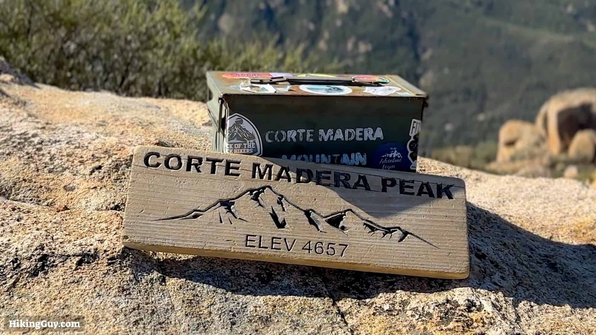
Corte Madera Mountain Hike
Hike Stats
- Total Distance
- 7 miles
- Time
- 3-4 Hours
- Total Climbing
- 1600 feet
- Difficulty
- Moderate
- Crowds
- Moderate
- Dogs
- Leashed
- Gear
- What I Use
- Weather
- Latest Report
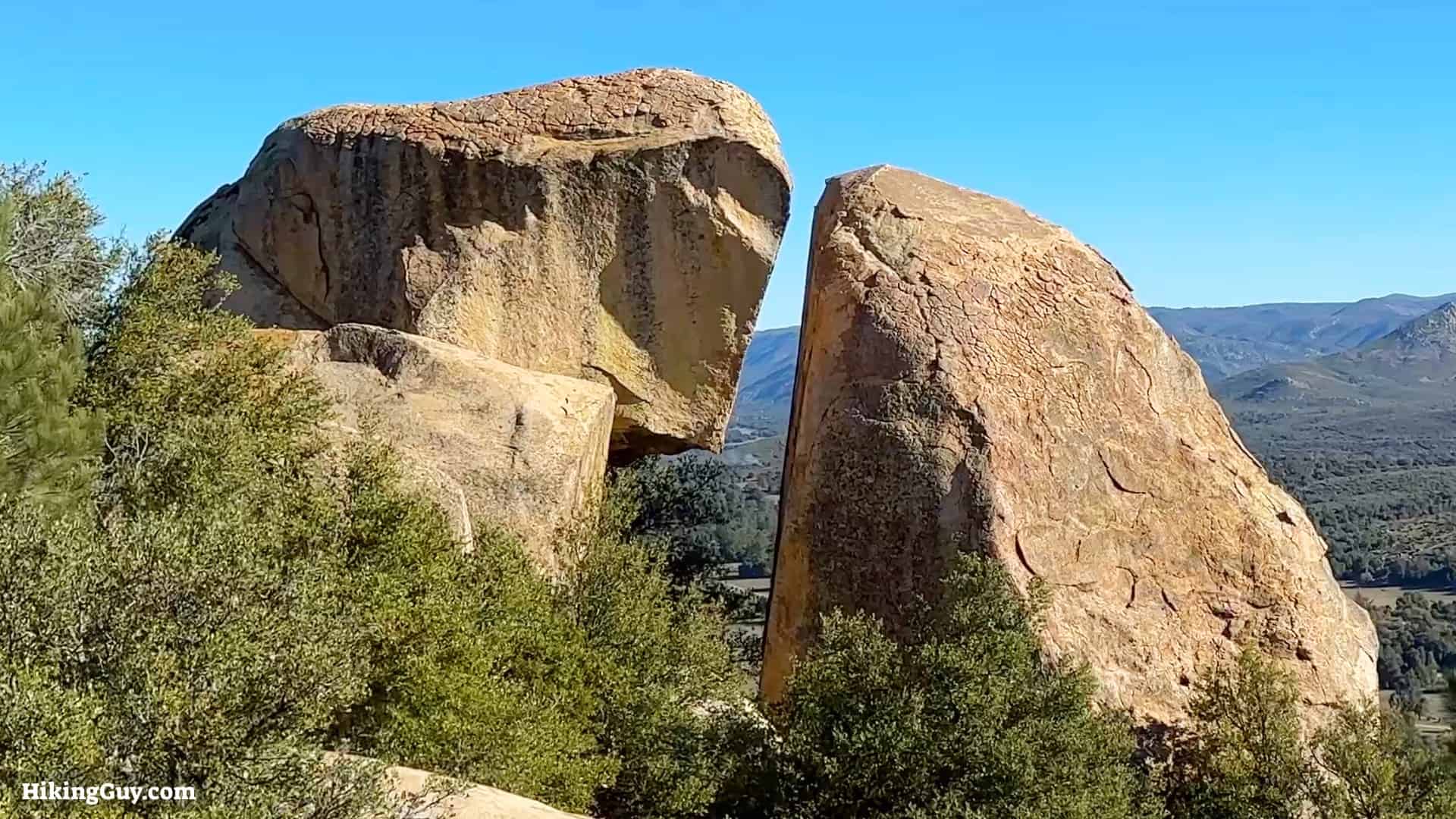
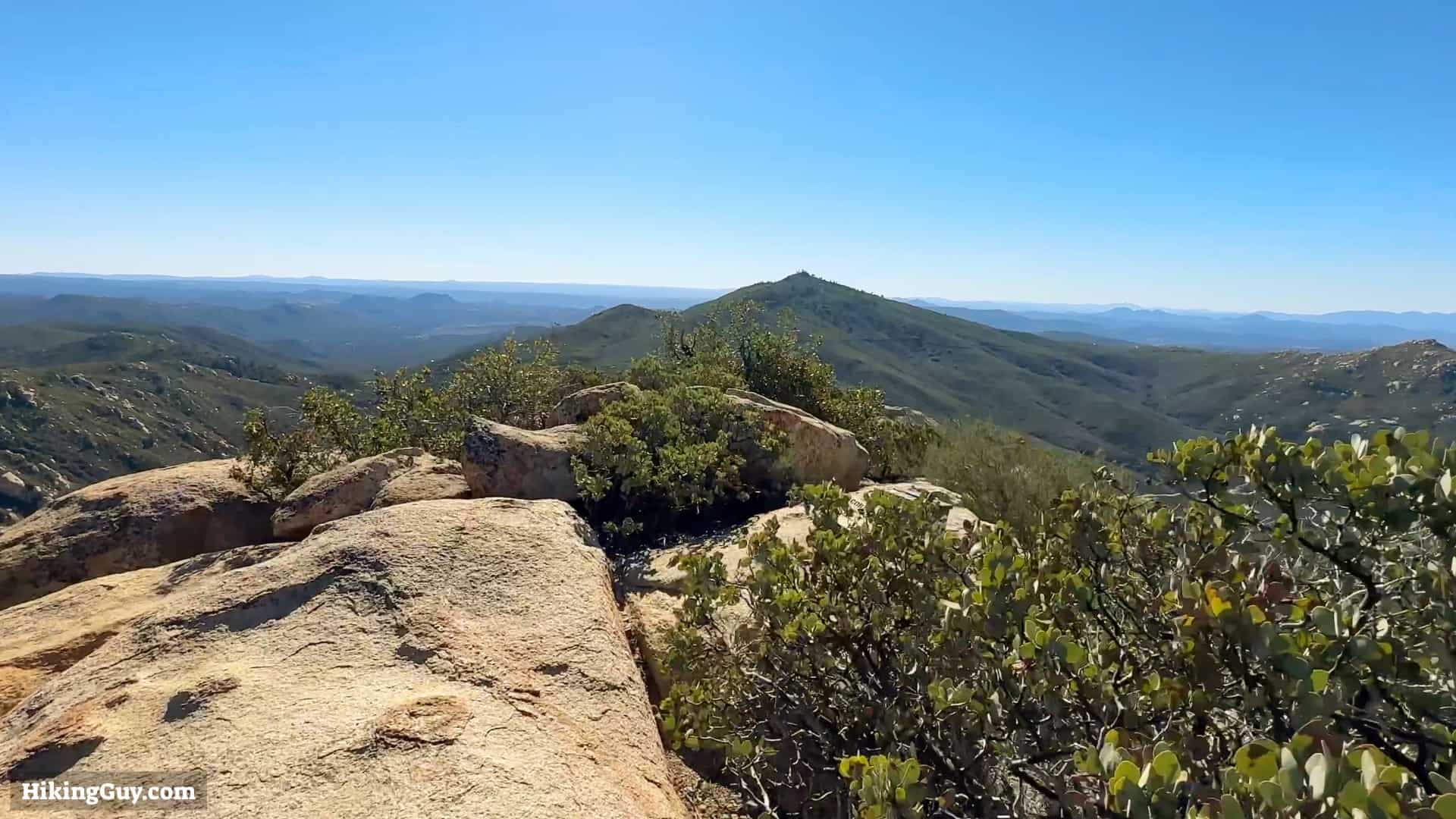
Nestled in San Diego's backcountry is Corte Madera, a 500-foot sheer cliff face known as “San Diego's Half Dome.” In this guide, I'll show you how to hike to the top: no cables or scary parts included. I'll also include a side trip to Los Pinos Mountain, home to a fire tower since 1925. The hike has some uphill sections but is doable for almost everyone.
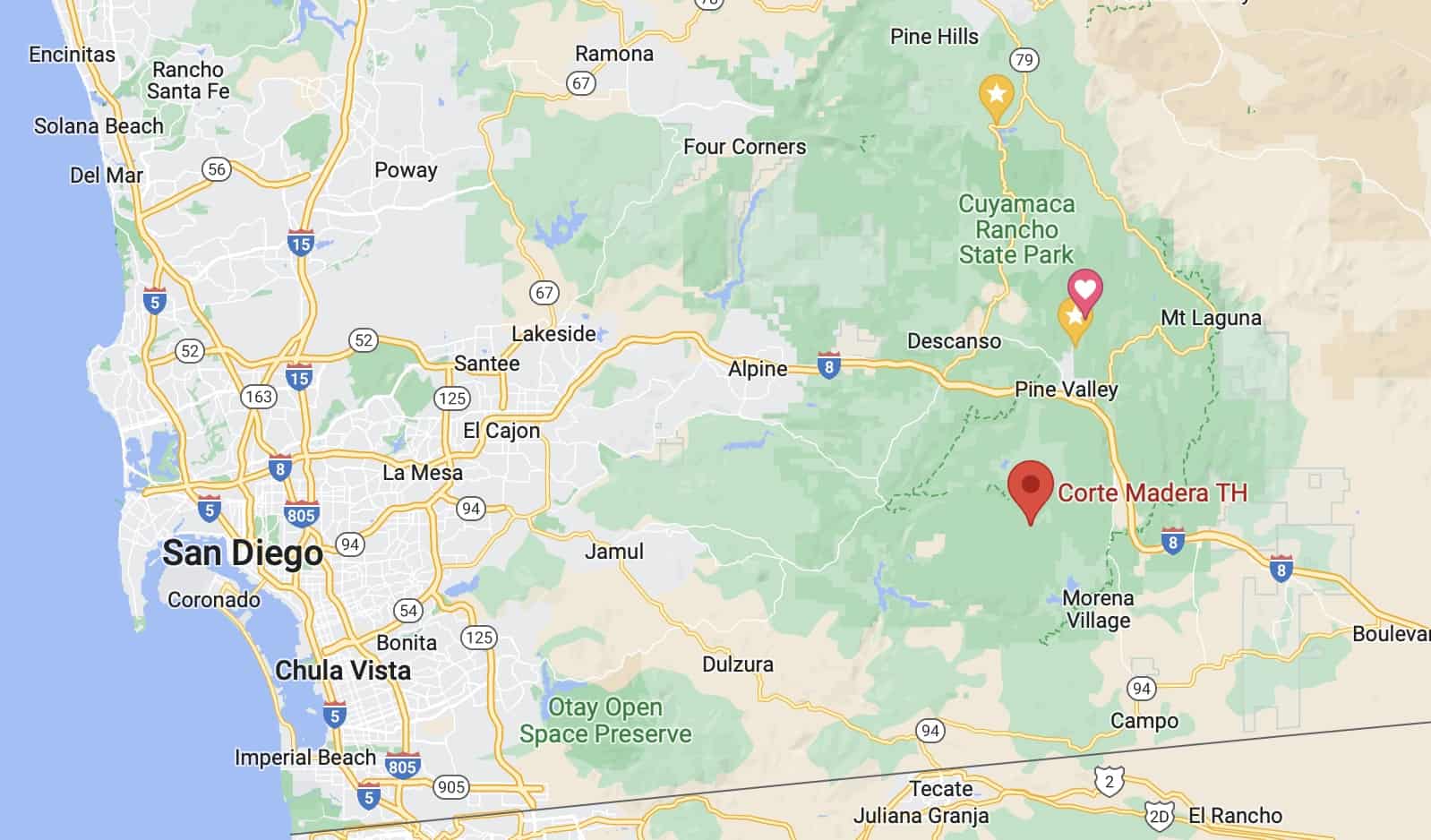
Where is Corte Madera Mountain?
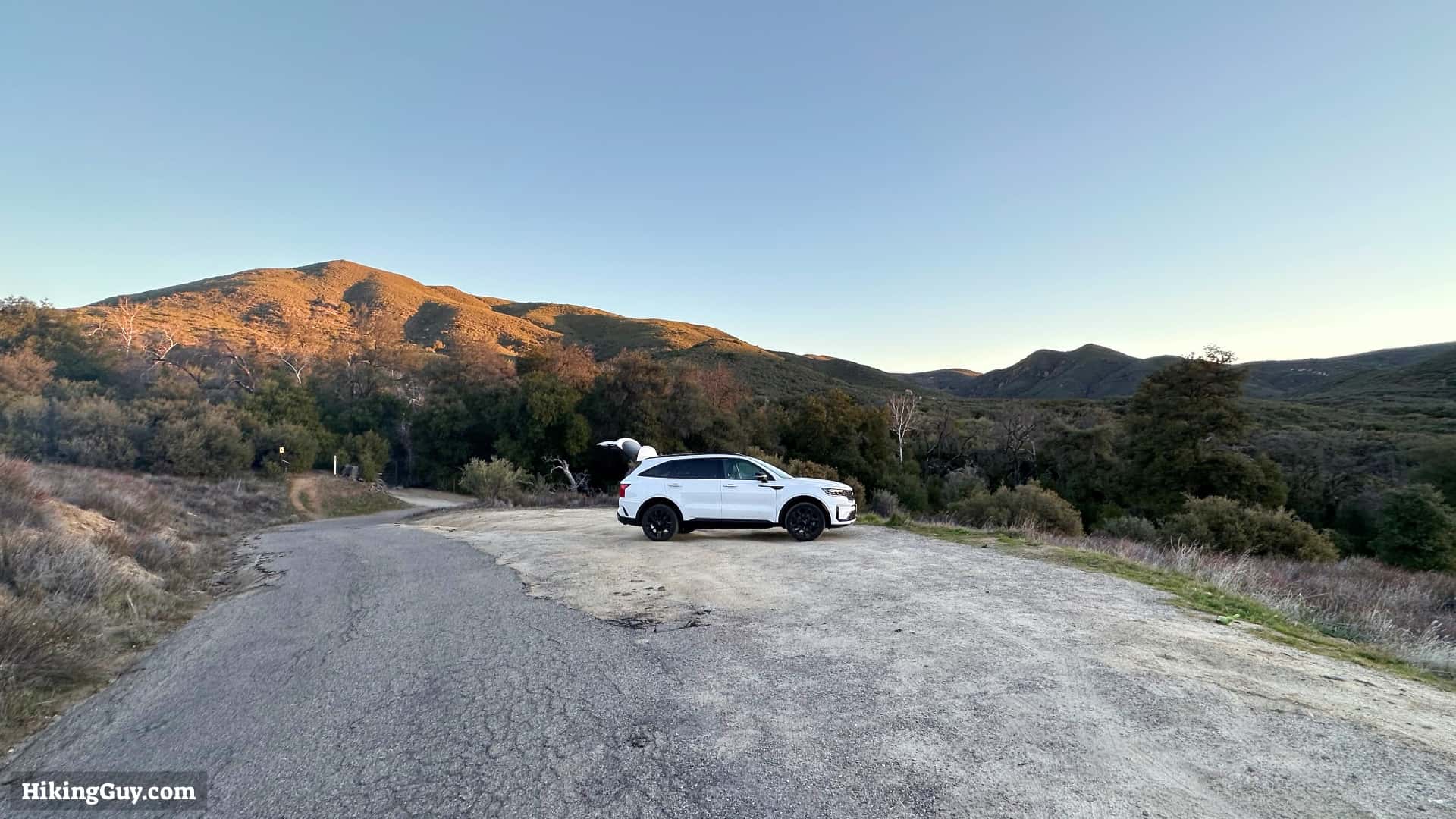
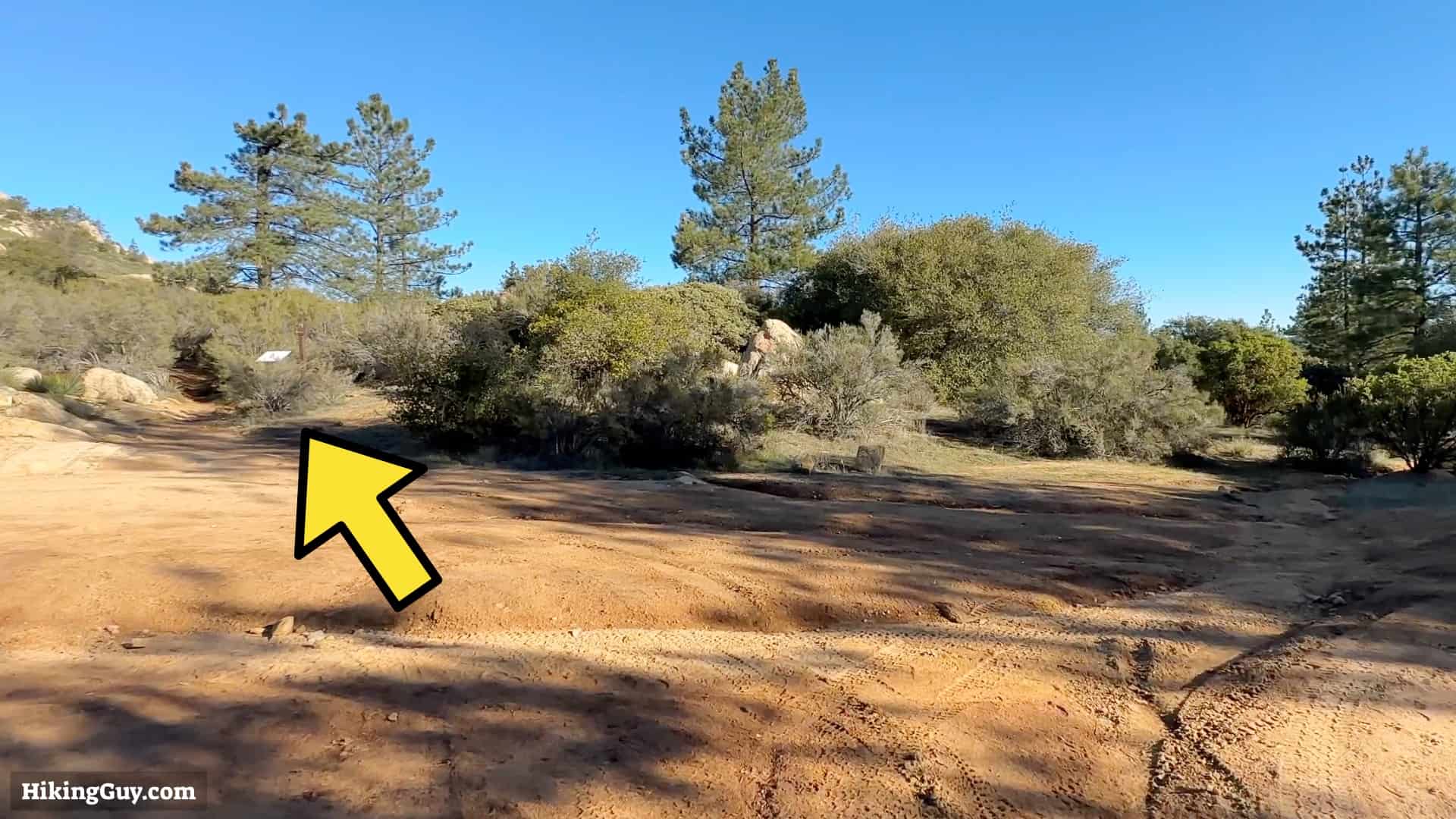
There's no official parking lot for Corte Madera Mountain, but there is a sand parking lot on the side of the road. The drive there includes some small roads will potholes, but it is doable by all cars. Expect to go slower in the last couple of miles to the trailhead.
The location of the trailhead is in Campo, CA, at 32.736174, -116.555995, and there is a Google Maps address that has popped up too. You'll see signs for the nearby Coral Canyon OHV Area.
Gear For the Hike

If you're unfamiliar with the San Diego backcountry, summers can be scorching, and winters can be below freezing. The best season for this hike is in the winter when the temperatures are cooler, and the plants are green.
Corte Madera is a backcountry hike, and you should pack the essentials. Generally, 2L of water works well, as do trail runners and trekking poles. Cellular service is sketchy, so bring your satellite communicator.
Essentials I’m Using Now
- Garmin inReach Mini 2: Reliable SOS Everywhere on Earth
- Sawyer + CNOC Water Filter: Easy & Reliable Safe Water
- Nitecore NU25 Headlamp: Running late? Get home safe
- Altra Olympus 275: Favorite trail shoes right now, no blisters and very comfy.
- AllTrails Plus (30% off): Offline maps on your phone with the Plus level
- Full December 2025 Gear List →
Corte Madera Trail Maps
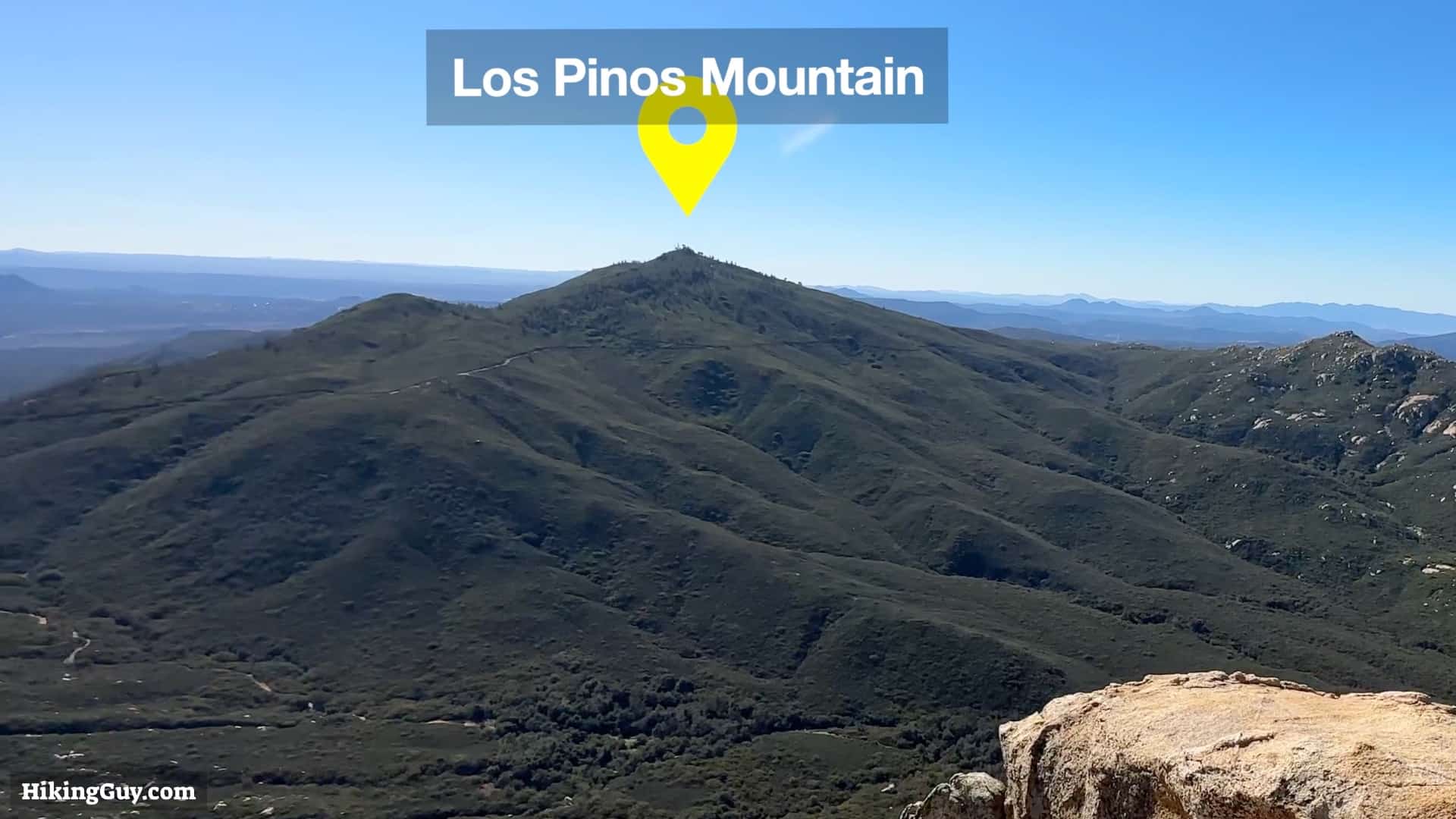
In this guide, I'll show you how to hike to Corte Madera and then add a side trip to the fire tower at Los Pinos Mountain. Including the Los Pinos extension adds about 4 miles to the total distance.
Elevation Profile

3D Map

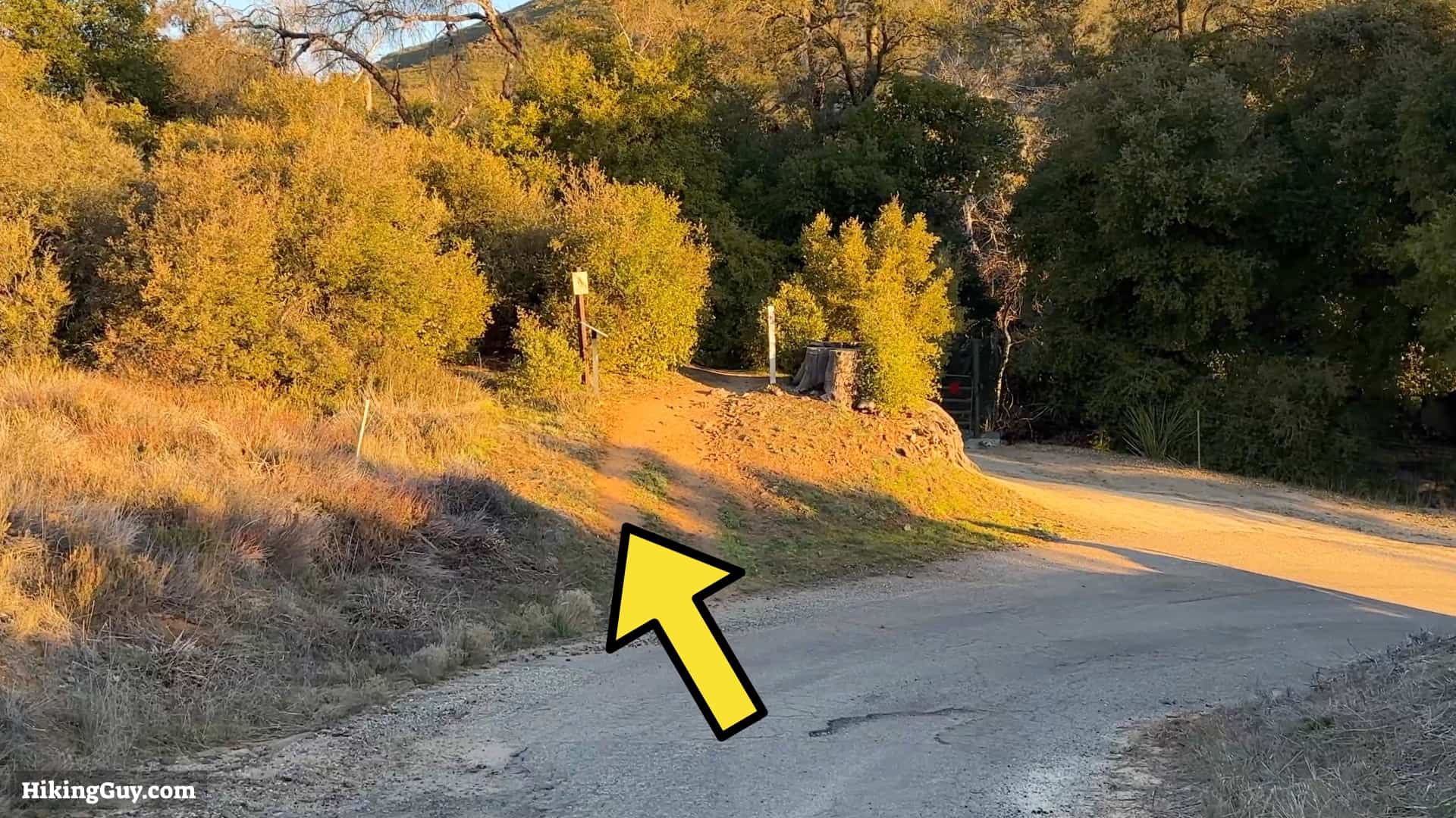
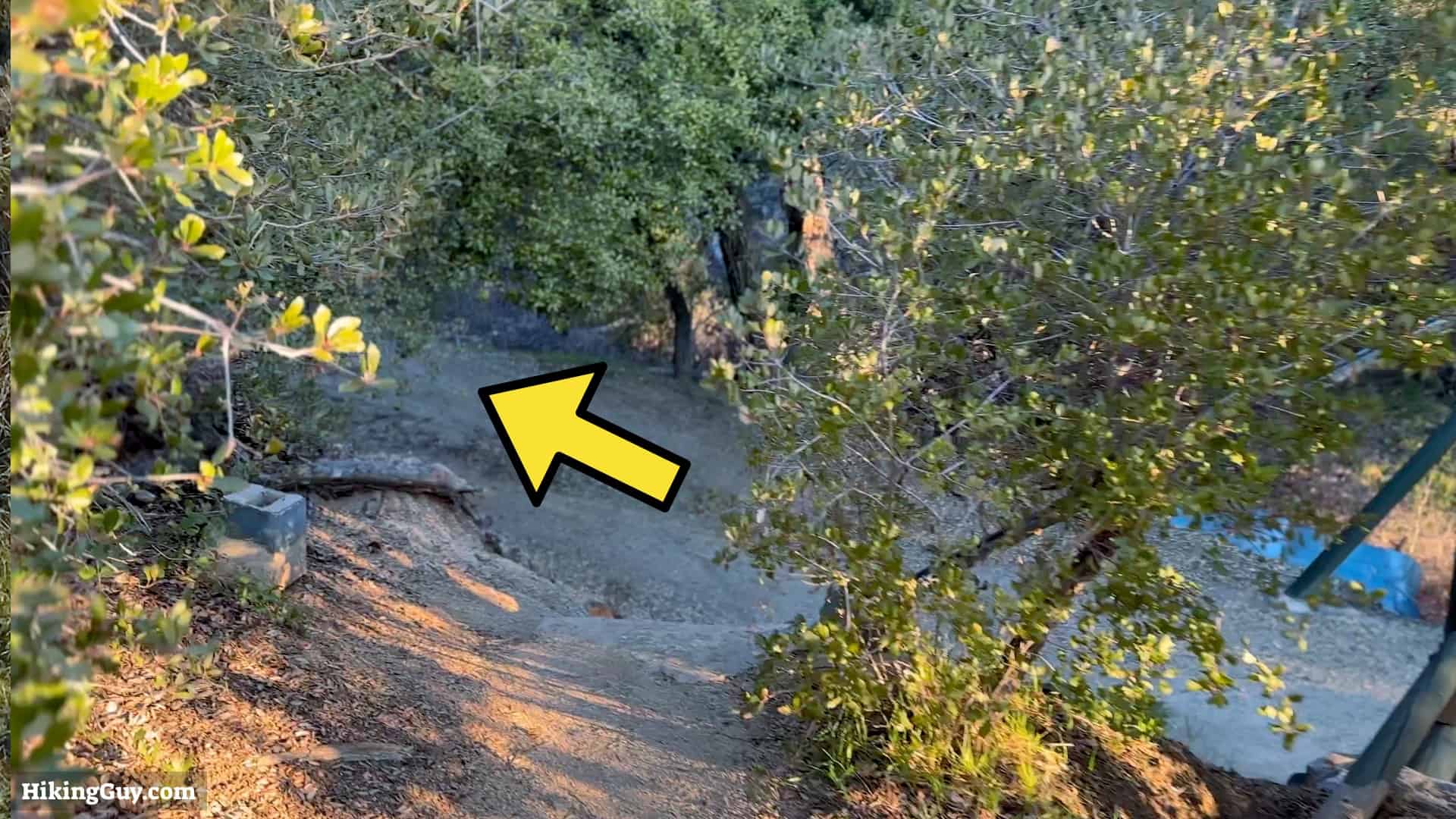
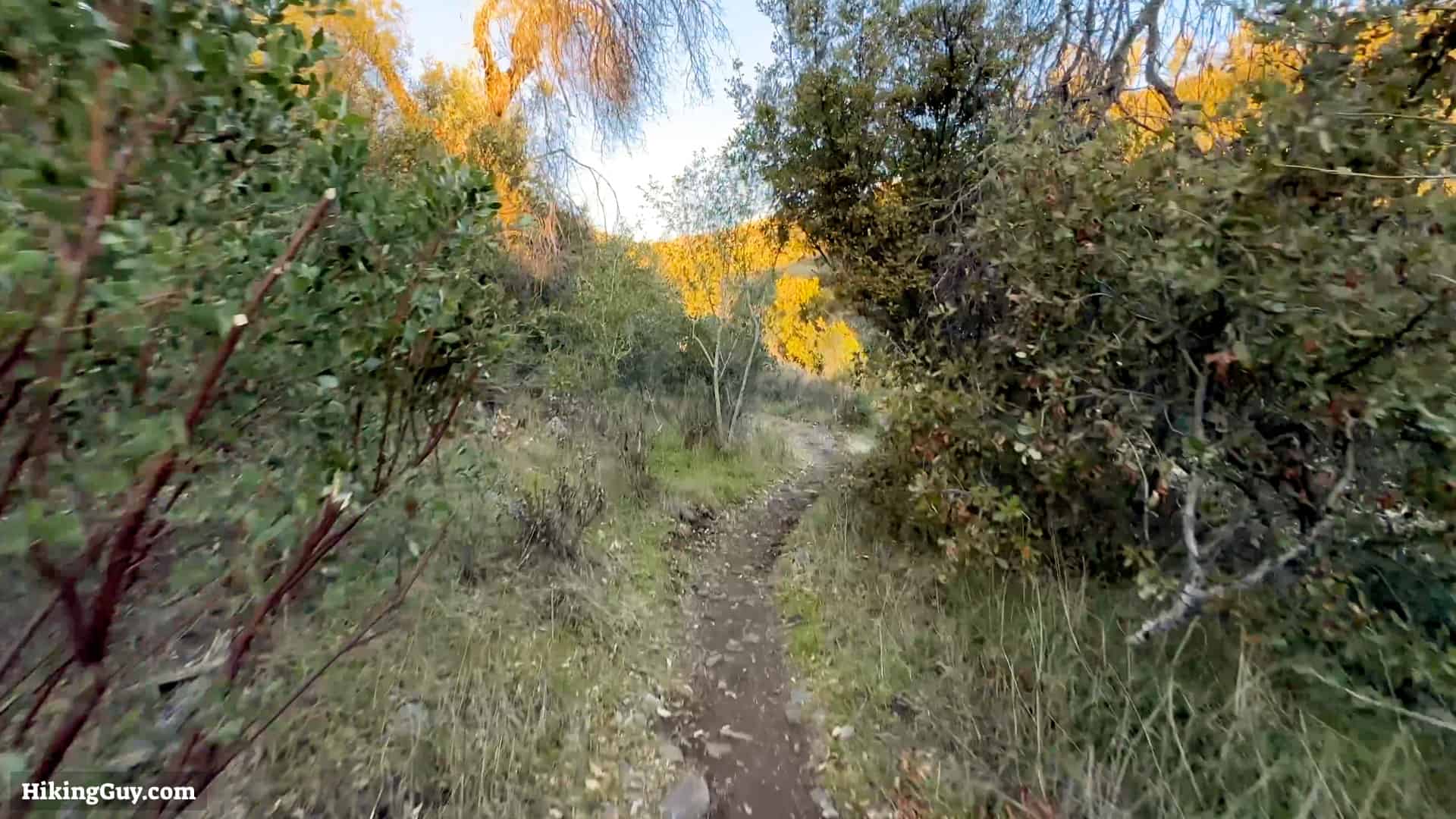
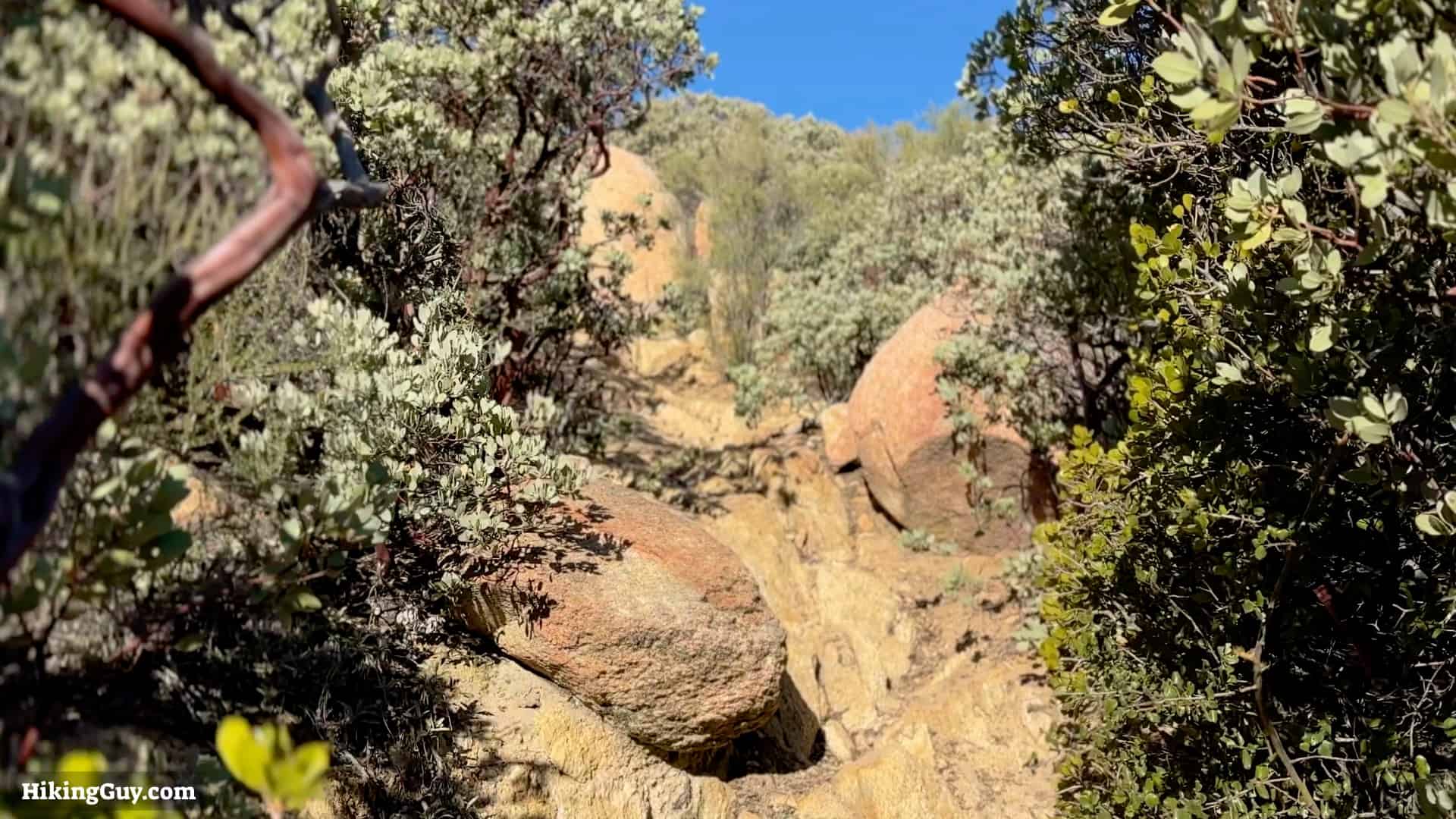
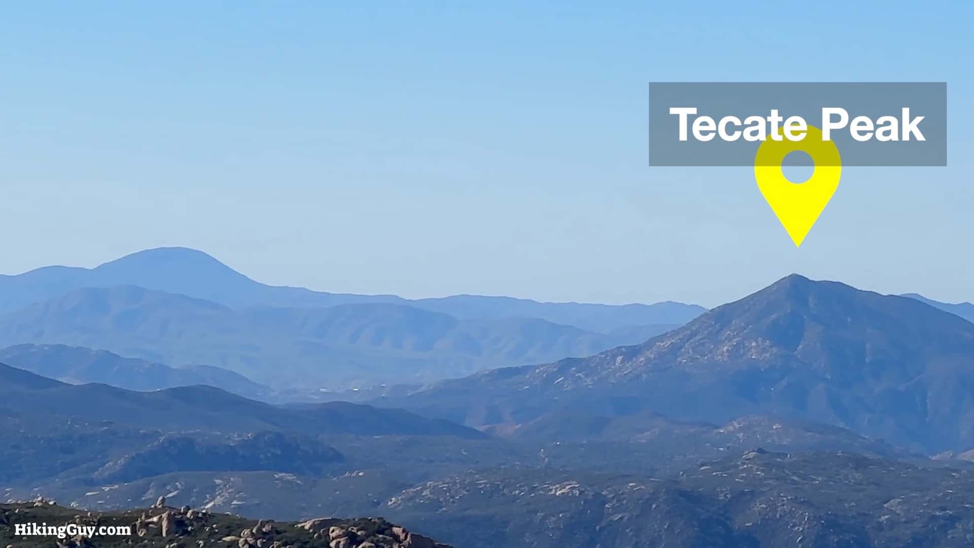
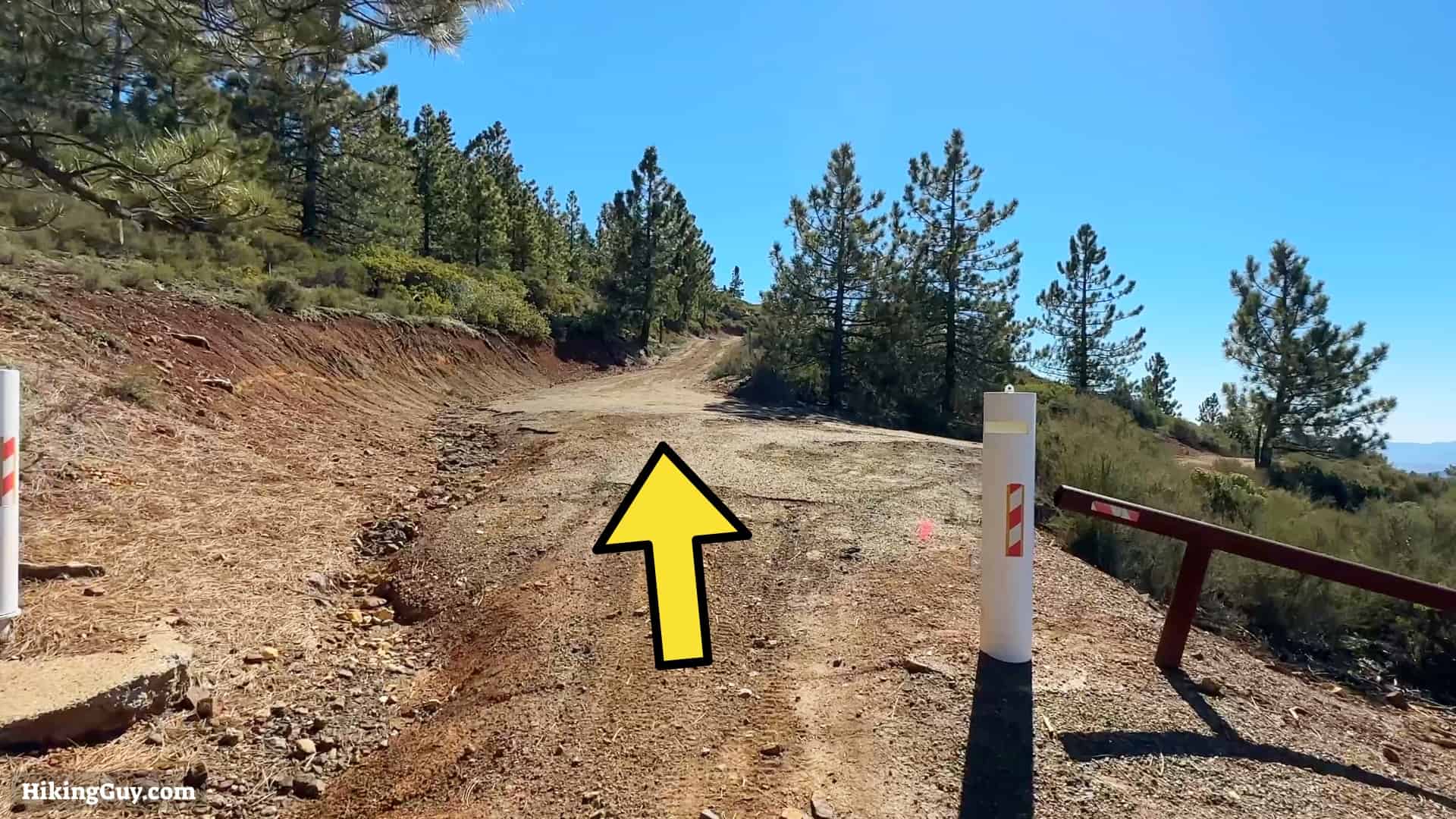
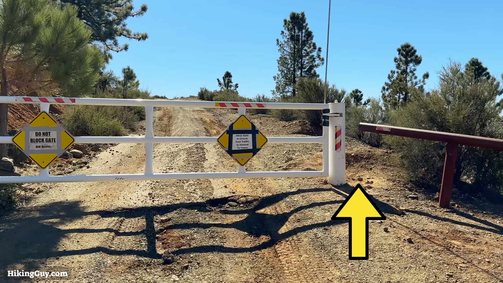
Corte Madera Hike Directions
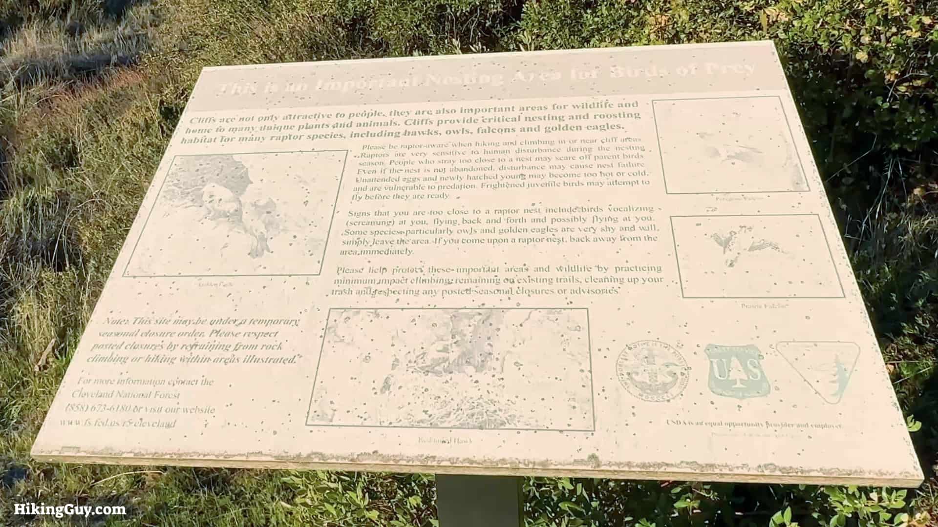
The cliff face of Corte Madera can be closed during nesting season. This mainly affects climbers, but it's worth checking the closure alerts before you leave just in case.


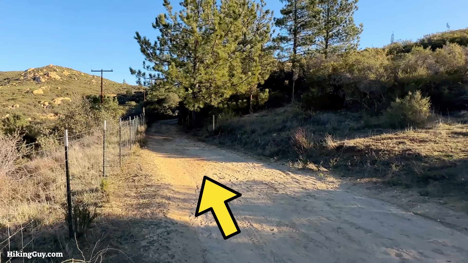
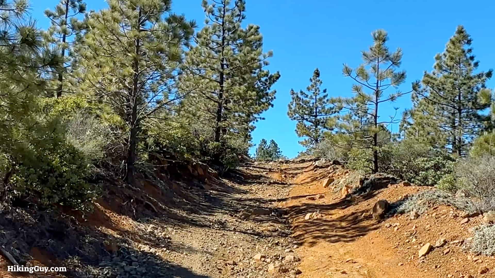
Corte Madera means "woodyard." The early Spanish settlers used this area to fell lumber to build the Mission San Diego. As you start hiking up Los Pinos road, you'll start to see the Coutler Pines that they used.

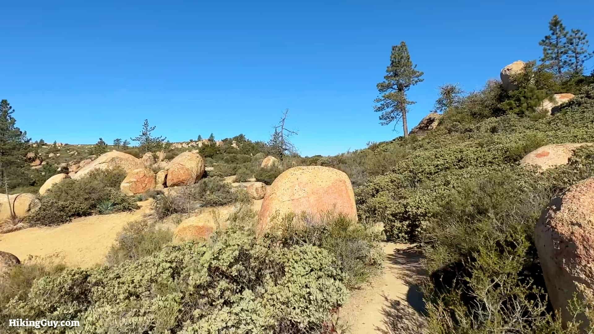
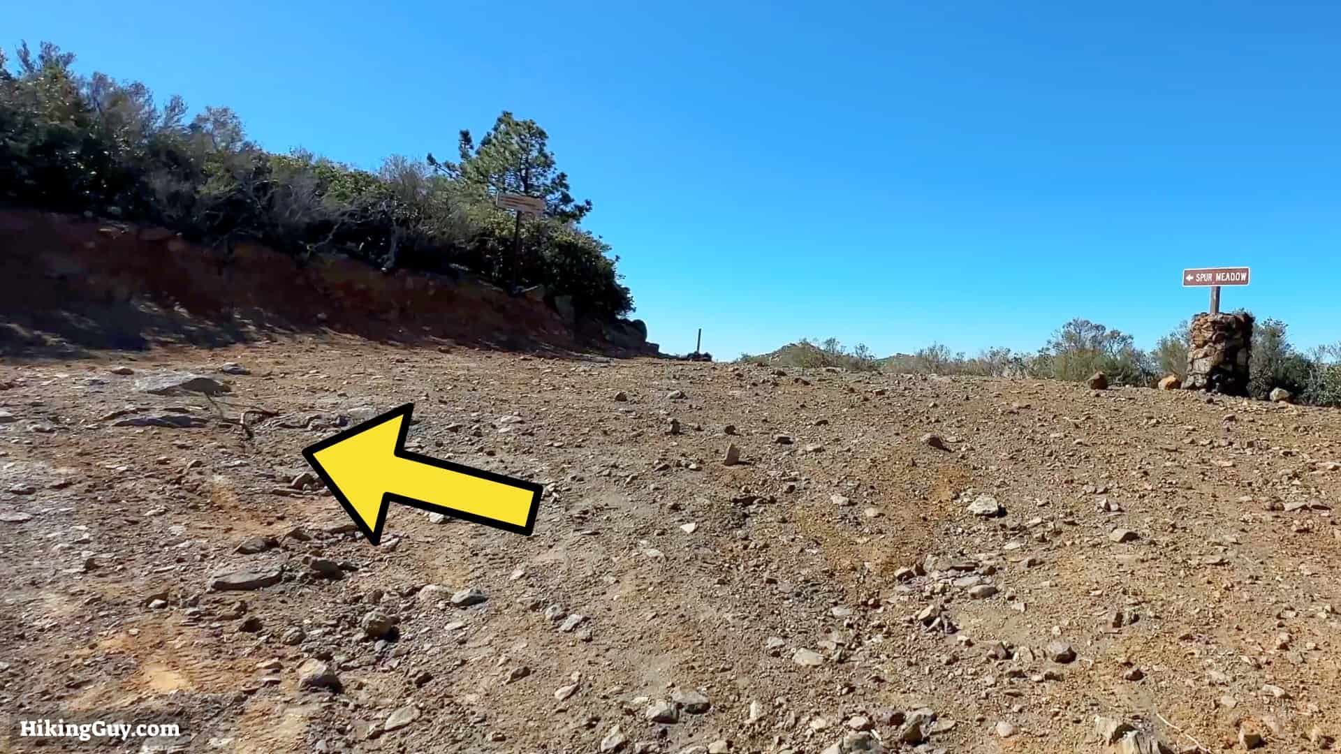
As you approach the summit you'll see several spots used by others for backcountry camping. If you'd like to camp, you'll need to get a backcountry permit.
From the summit, head back down to the big intersection by the Espinosa Trail and Los Pinos Road.
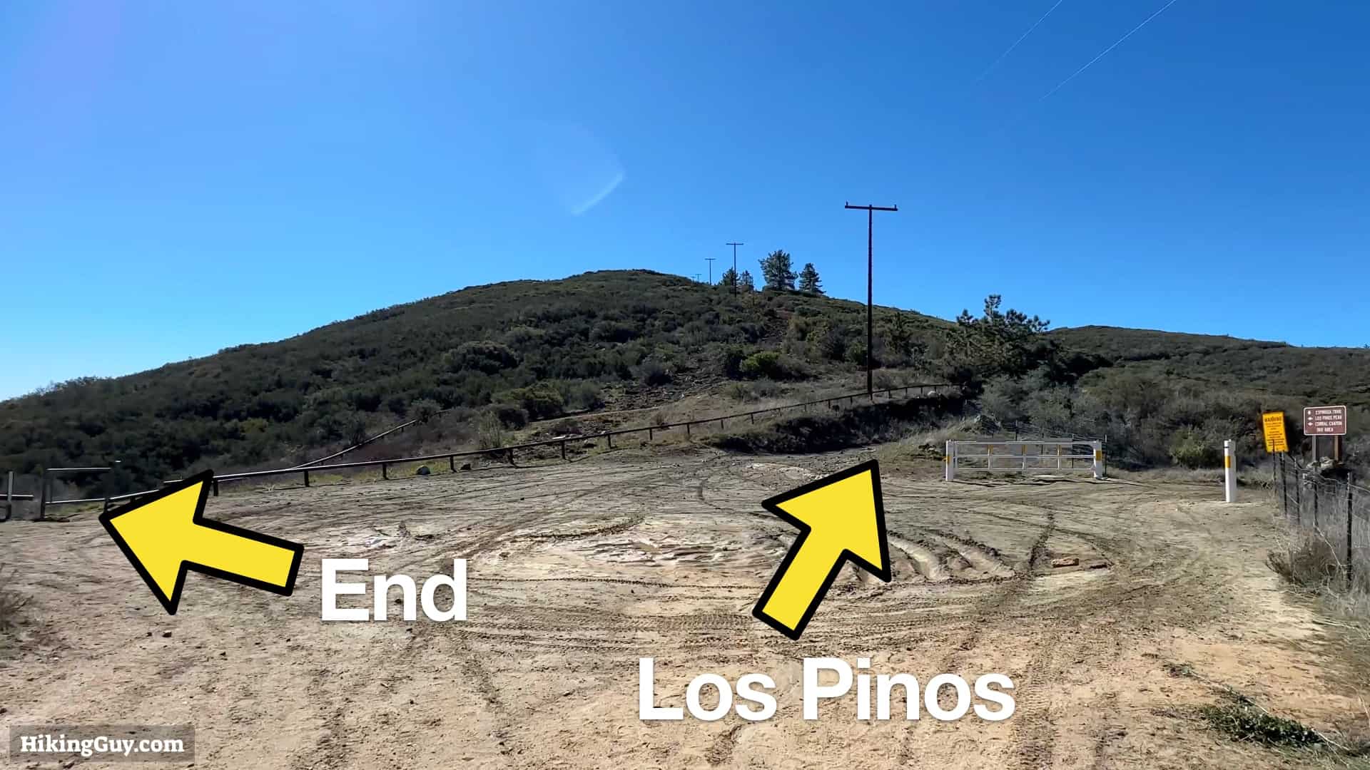
Los Pinos Mountain Hike Extension

From Los Pinos Mountain, just go back the way you came to the Espinosa Trail and then back down that to the start.