Hike Grays Peak Trail (Big Bear)
Hike Stats
- Total Distance
- 7.2 miles
- Time
- 3-4 Hours
- Total Climbing
- 1300 feet
- Difficulty
- Moderate
- Crowds
- Moderate
- Dogs
- Leashed
- Gear
- What I Use
- Weather
- Latest Report
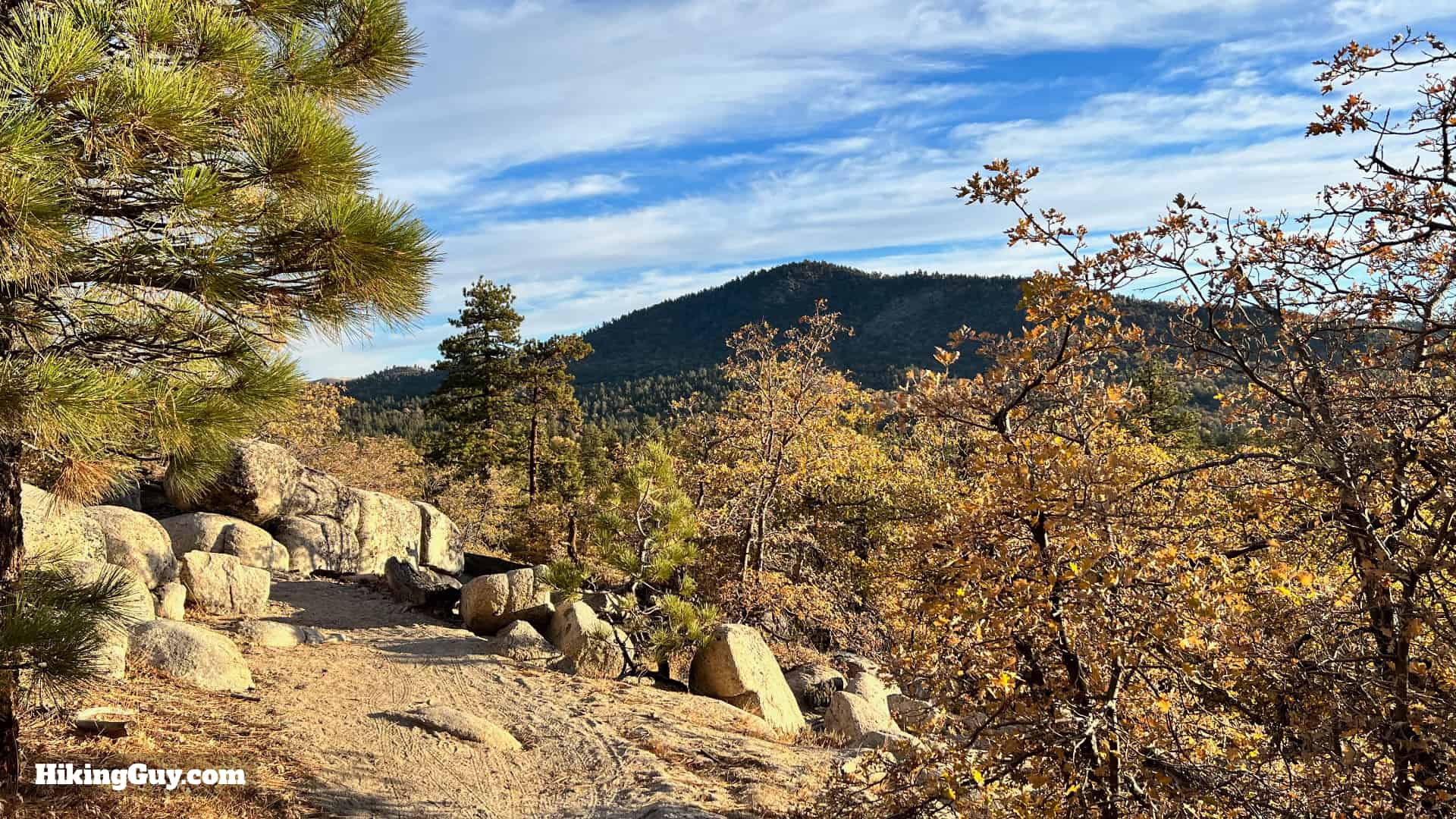
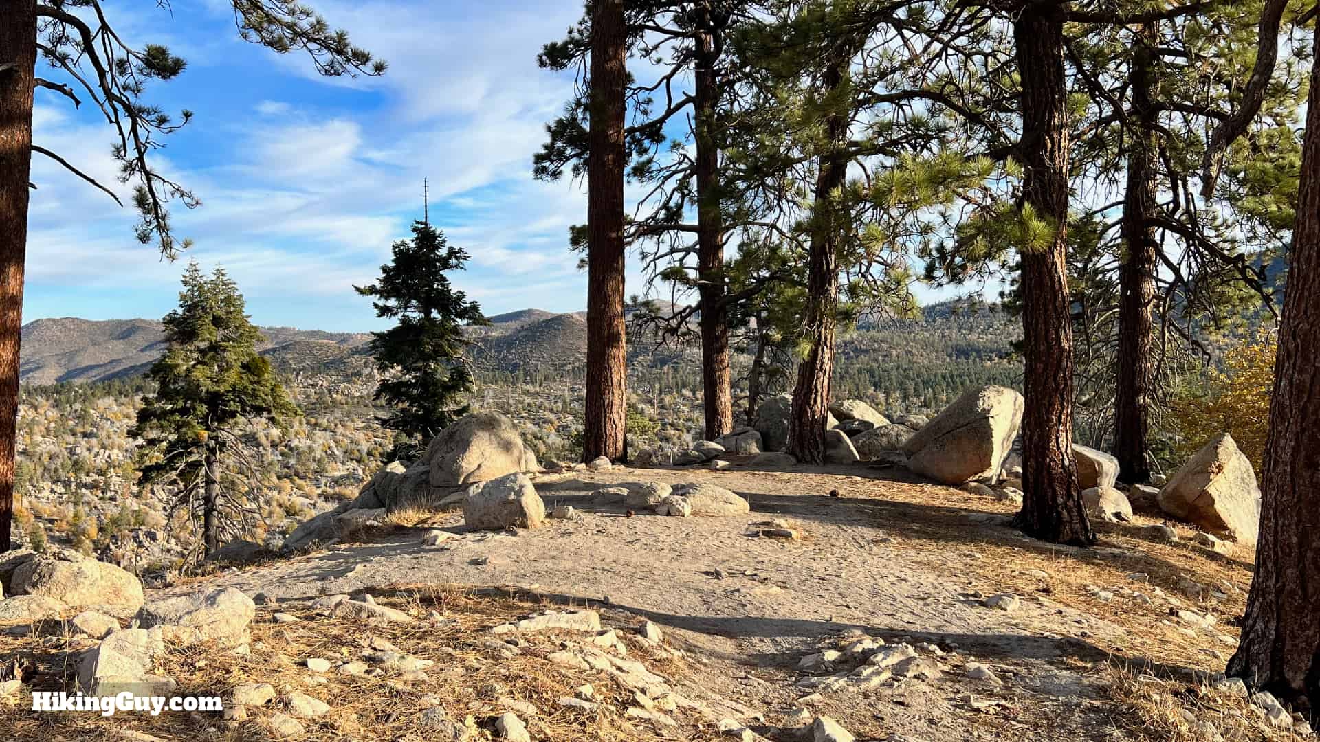
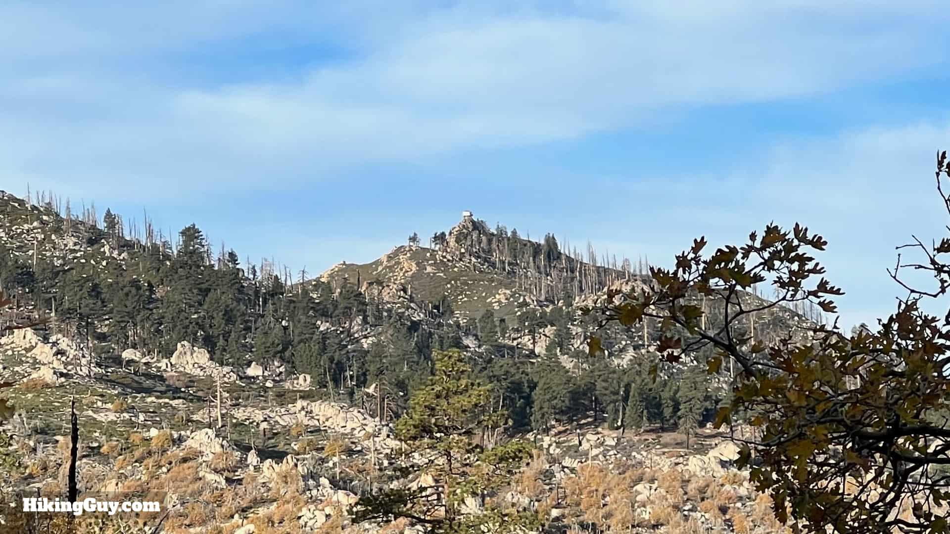
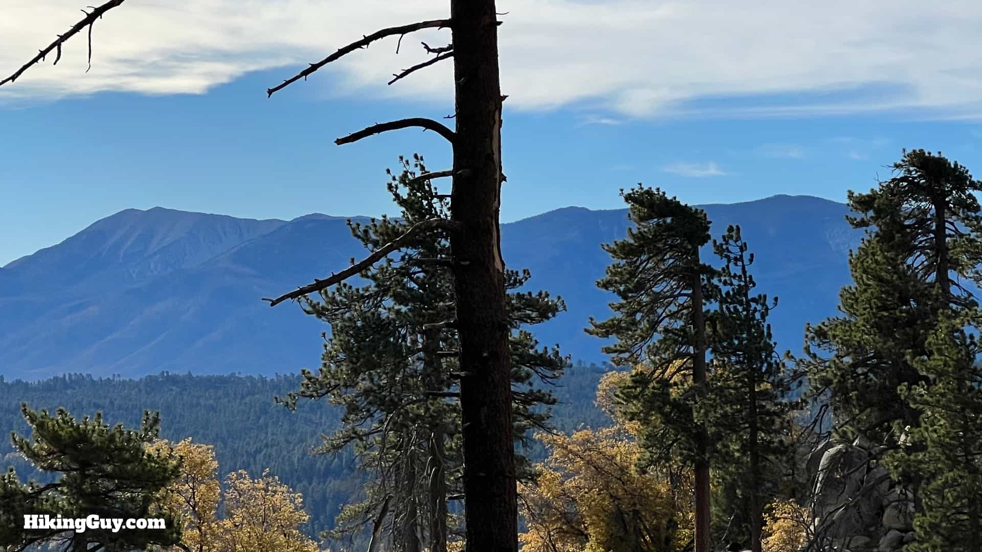
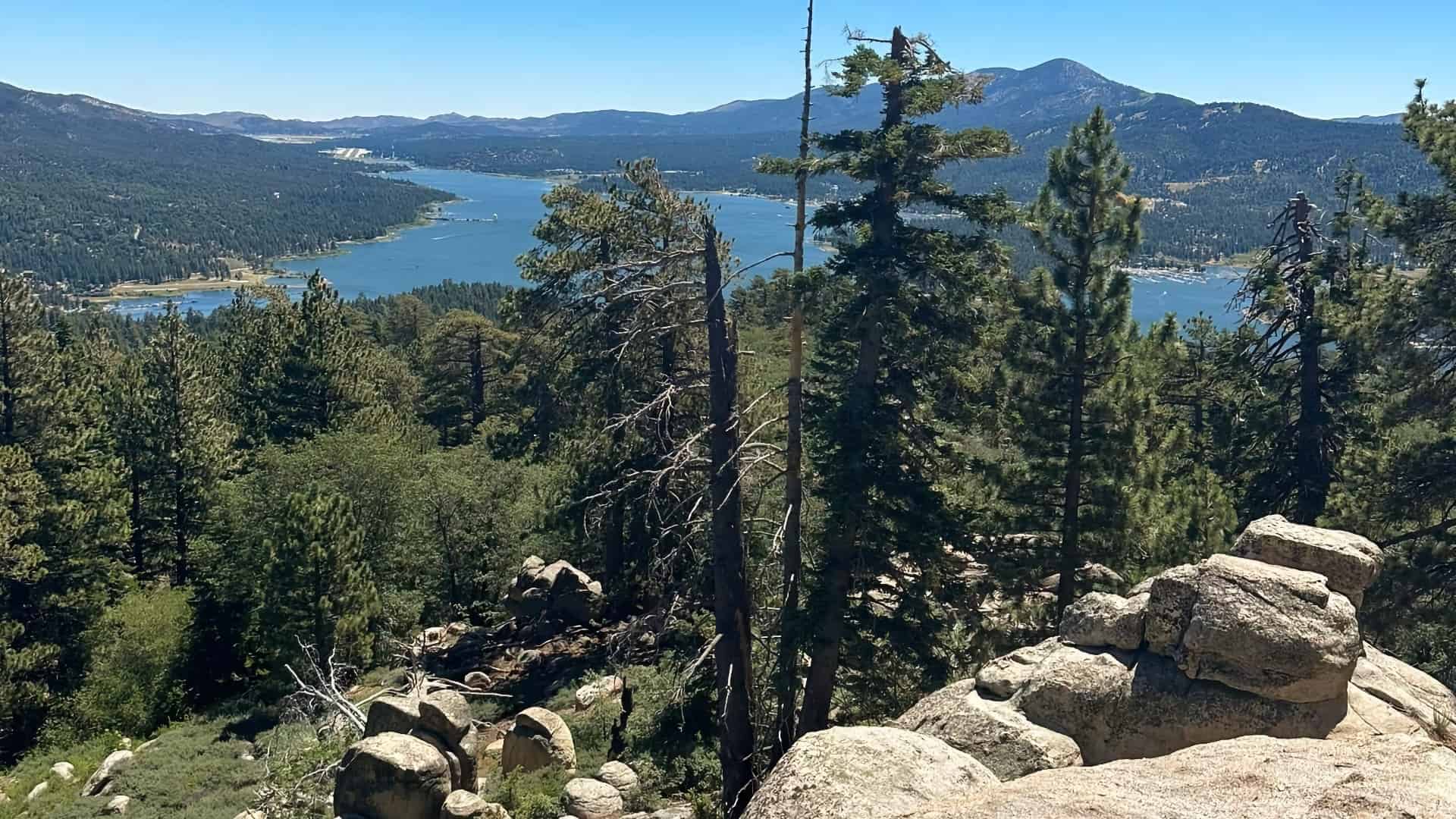
Grays Peak Trail, one of the most popular hikes in the Big Bear Area, is not too tough, but plenty nice. You'll hike through an old-growth forest, be treated to views of the surrounding peaks, and then reach the forested knob of Grays Peak, which has lengthwise views of Big Bear Lake, as well as the San Bernardino high line of peaks. It's such a nice area that two bald eagles decided to raise a family here! More on that in the guide.
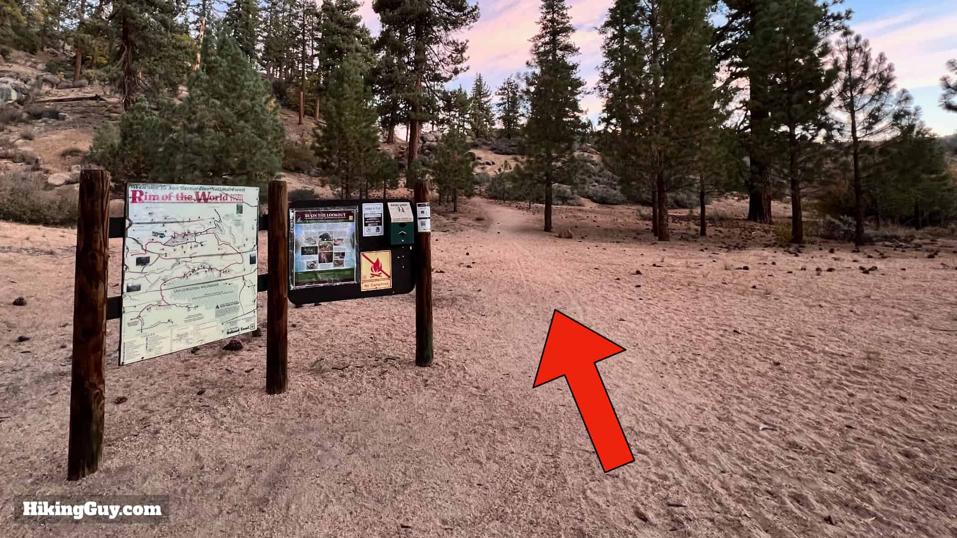
Where is the Grays Peak Trail?
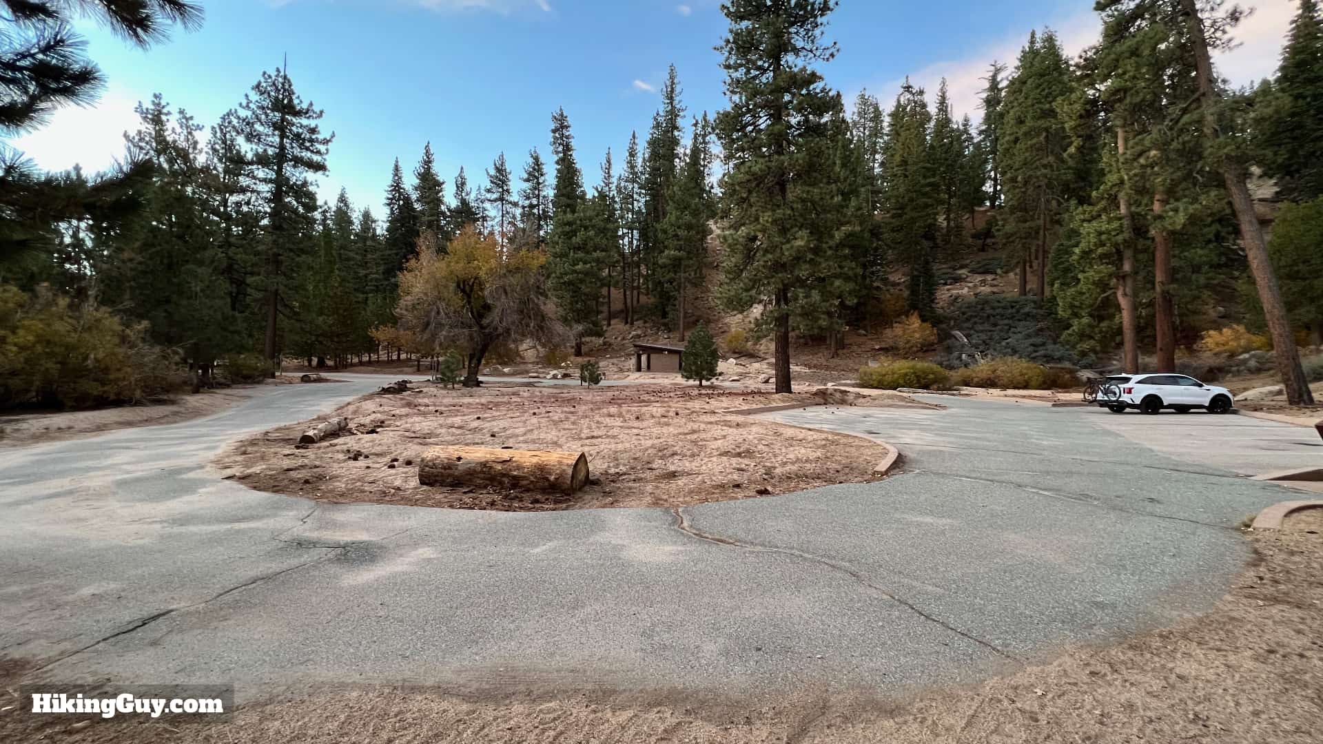
The trailhead is easy to find. There is a dedicated rest area and parking lot for the trail in Fawnskin, right next to Big Bear Lake. Use this trailhead address:
Grays Peak Trail, Fawnskin, CA 92333
You need a National Parks Pass or and Adventure Pass to park here.

Gear For the Hike
Although this is a backcountry hike, it's not especially technical or tough. I do the hike using regular hiking gear, but I've seen plenty of folks here in fitness clothes. Just know that it can be colder at the top, and in the winter, the trail can be covered with snow and ice (it's actually a good snowshoe hike if that's your thing). I bring 2L of water when I do the hike.
Essentials I’m Using Now
- Garmin inReach Mini 2: Reliable SOS Everywhere on Earth
- Sawyer + CNOC Water Filter: Easy & Reliable Safe Water
- Nitecore NU25 Headlamp: Running late? Get home safe
- Altra Olympus 275: Favorite trail shoes right now, no blisters and very comfy.
- AllTrails Plus (30% off): Offline maps on your phone with the Plus level
- Full December 2025 Gear List →
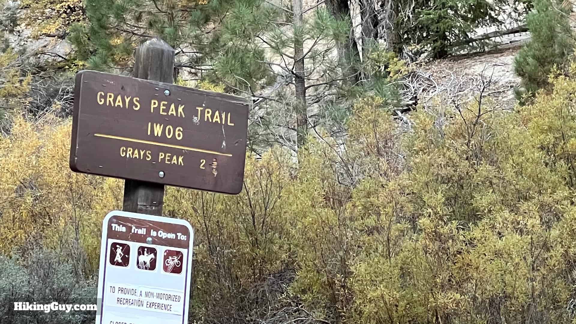
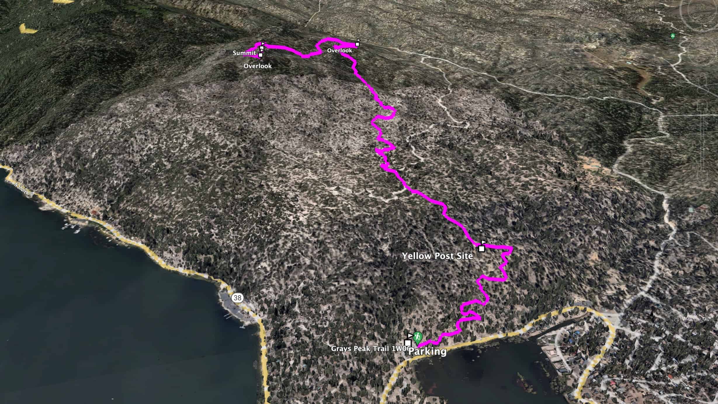
Grays Peak Trail Maps
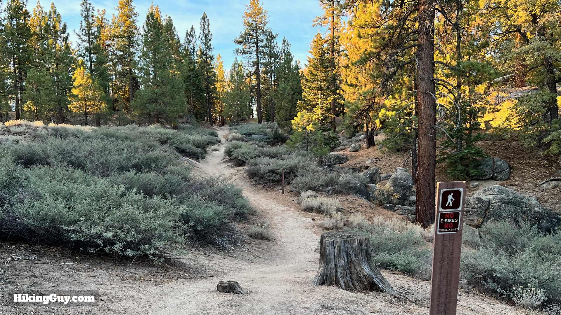
The hike is on a mixture of singletrack and (very laid back) Forest Service roads. It's all well-marked and easy to follow.
Elevation Profile

3D Map
Hike Brief
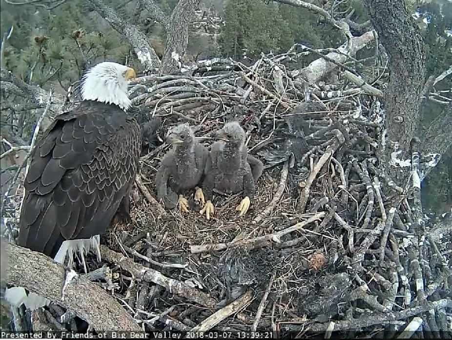
- Historically bald eagles would winter in Big Bear, where they could hunt for food in the lake, unlike those further north which freezes over.
- In 2013 the first pair of eagles in recent memory nested here, and eagles have come back regularly to nest every year. Since bald eagles have been known to abandon nests disturbed by humans, the Forest Service usually closes the area around Grays Peak in the winter and spring during nesting season. It's important to visit the park website before you go and check the trail status. You can tune into the solar-powered "nest cam" to view the nest here.
- Grays Peak is named after an old (and long-closed) camping resort called "Gray's Landing and Camp," opened in 1918. When the camp first opened, there wasn't even a road here. The camp became a legendary place for trout fishing, with cowboys Roy Rodgers and Dale Evans buying it in 1955. When Roy Rodgers was asked if he didn't like anything about the deal, it was that "he couldn't spend all his time here."
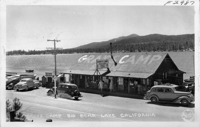
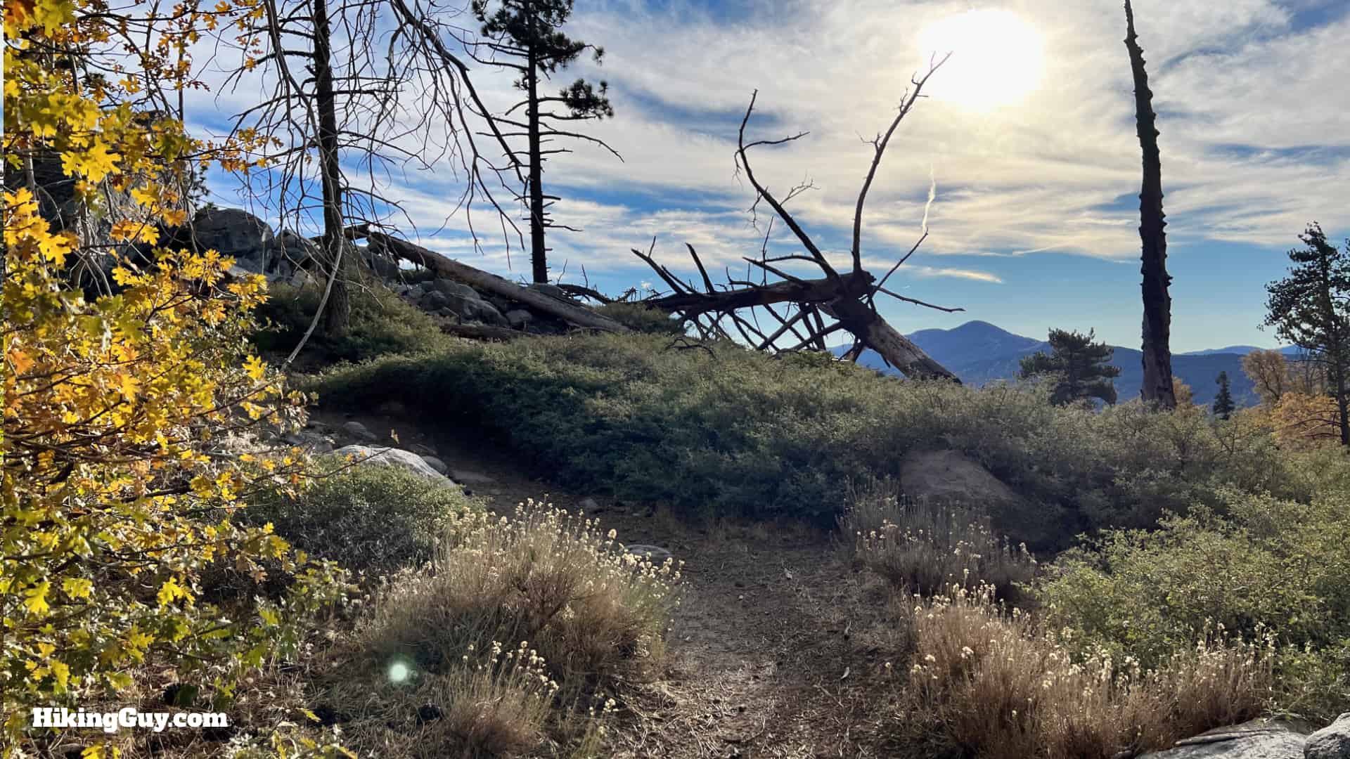
Here's a photo of Grays Camp in 1941. Photo Pomona Public Library - The first half of the hike passes through old(er) growth forest with big oaks, pines and cedars. And then on the second half of the hike, you'll be able to see the effects of the 2007 Butler 2 Fire, which didn't burn everything, but did do some damage.

All the trees along this hike mean that it's a great place to catch the fall colors.
Grays Peak Trail Hike Directions