
Sentinel Dome Hike
Hike Stats
- Total Distance
- 2.2 miles
- Time
- 1 Hour
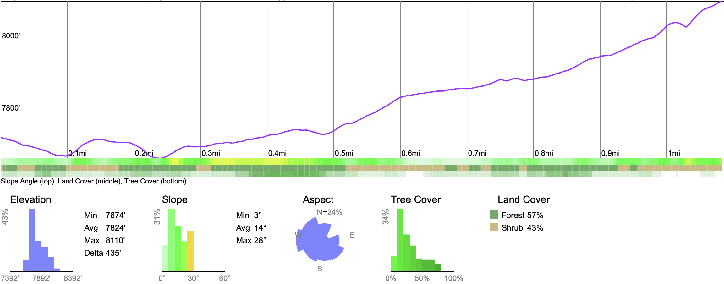
- Total Climbing
- 530 feet
- Difficulty
- Moderate
- Crowds
- Crowded
- Dogs
- No Dogs
- Gear
- What I Use
- Weather
- Latest Report
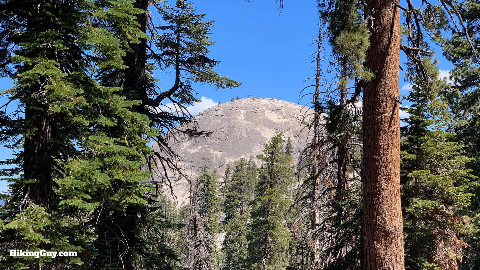
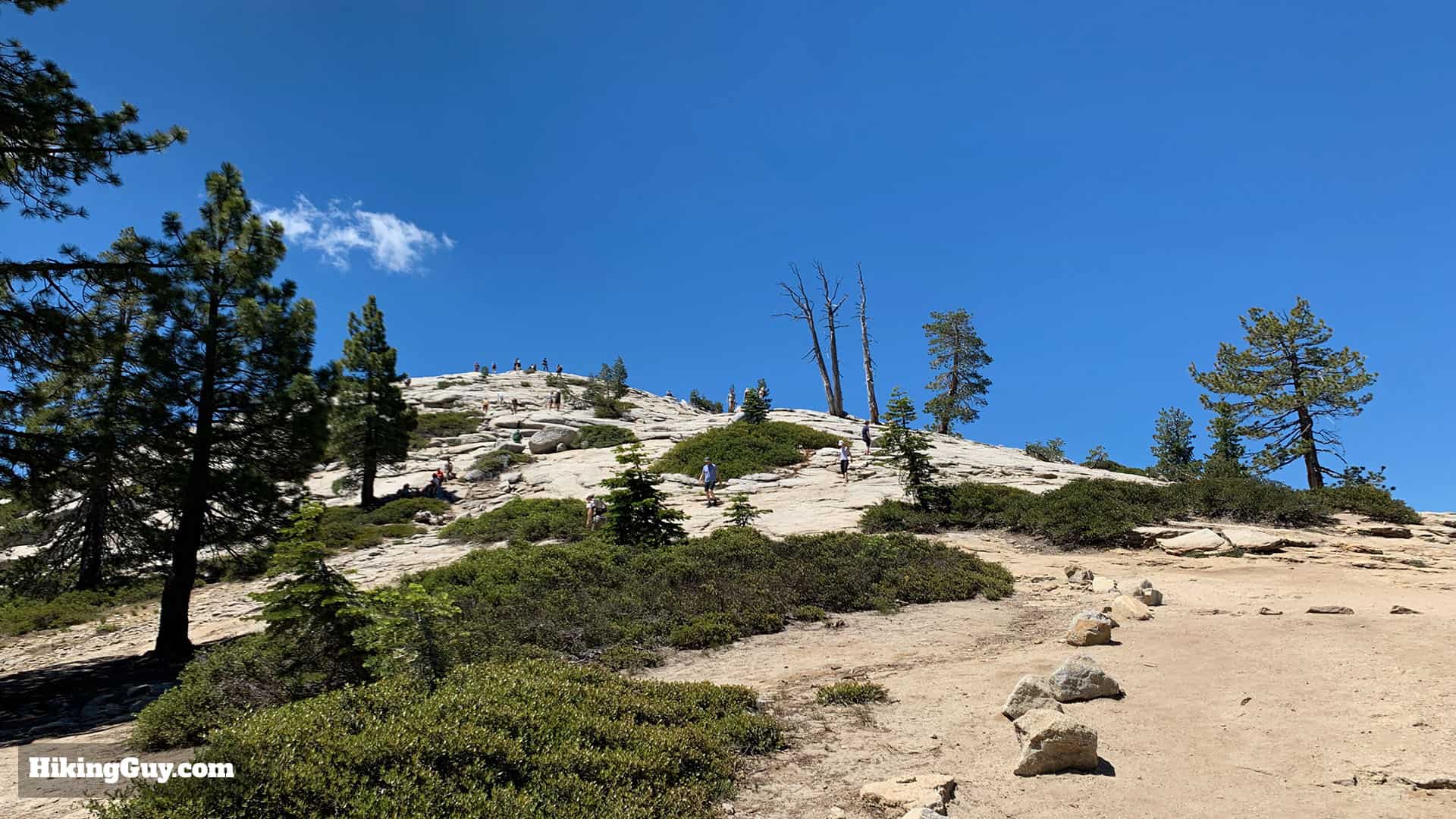
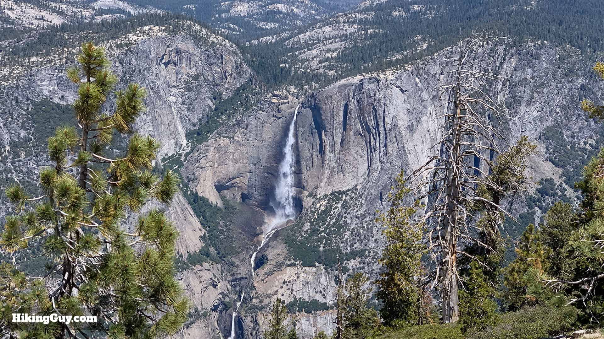
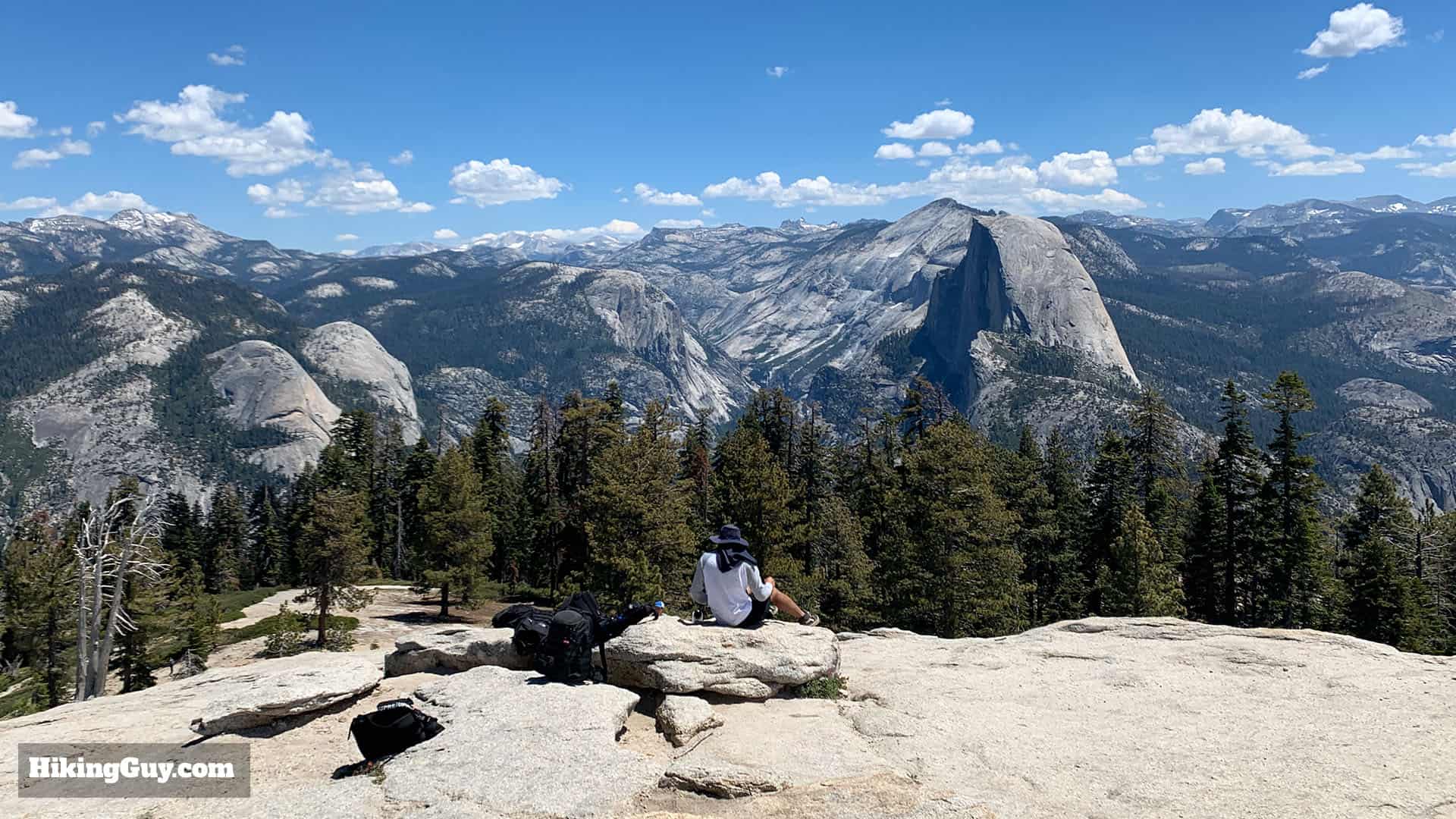
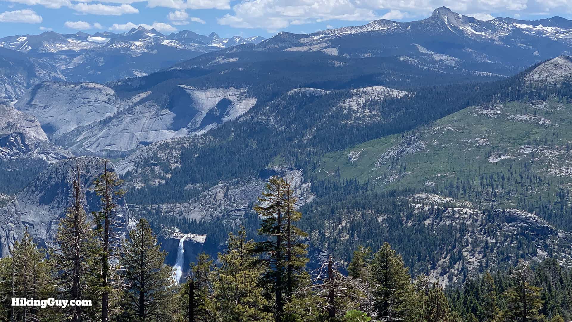
The Sentinal Dome hike offers everything that's great about Yosemite National Park in an easy 2.2-mile package. You get to hike on the iconic trails of the Sierras, you get to climb a big granite dome, and you get the best panoramic views of all the attractions in the park. Even if you're not an experienced hiker, you need to put this trail on your list, it's worth it.
If there are thunderstorms or lightning, do not attempt this hike. The domes frequently get struck by lightning.
Where is Sentinel Dome?
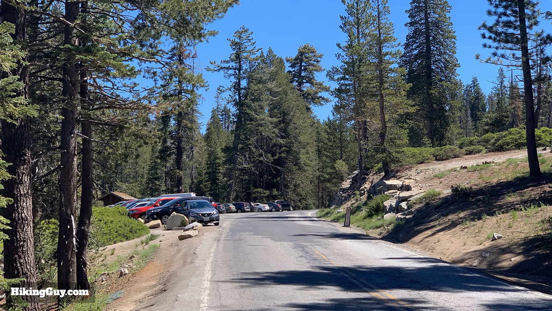
The trailhead for Sentinel Dome is on Glacier Point Road, which is closed in the winter. Check the park website for the status of any road closures.
Use this trailhead address:
Taft Point Trailhead, Glacier Point Road, Yosemite National Park, CA 95389
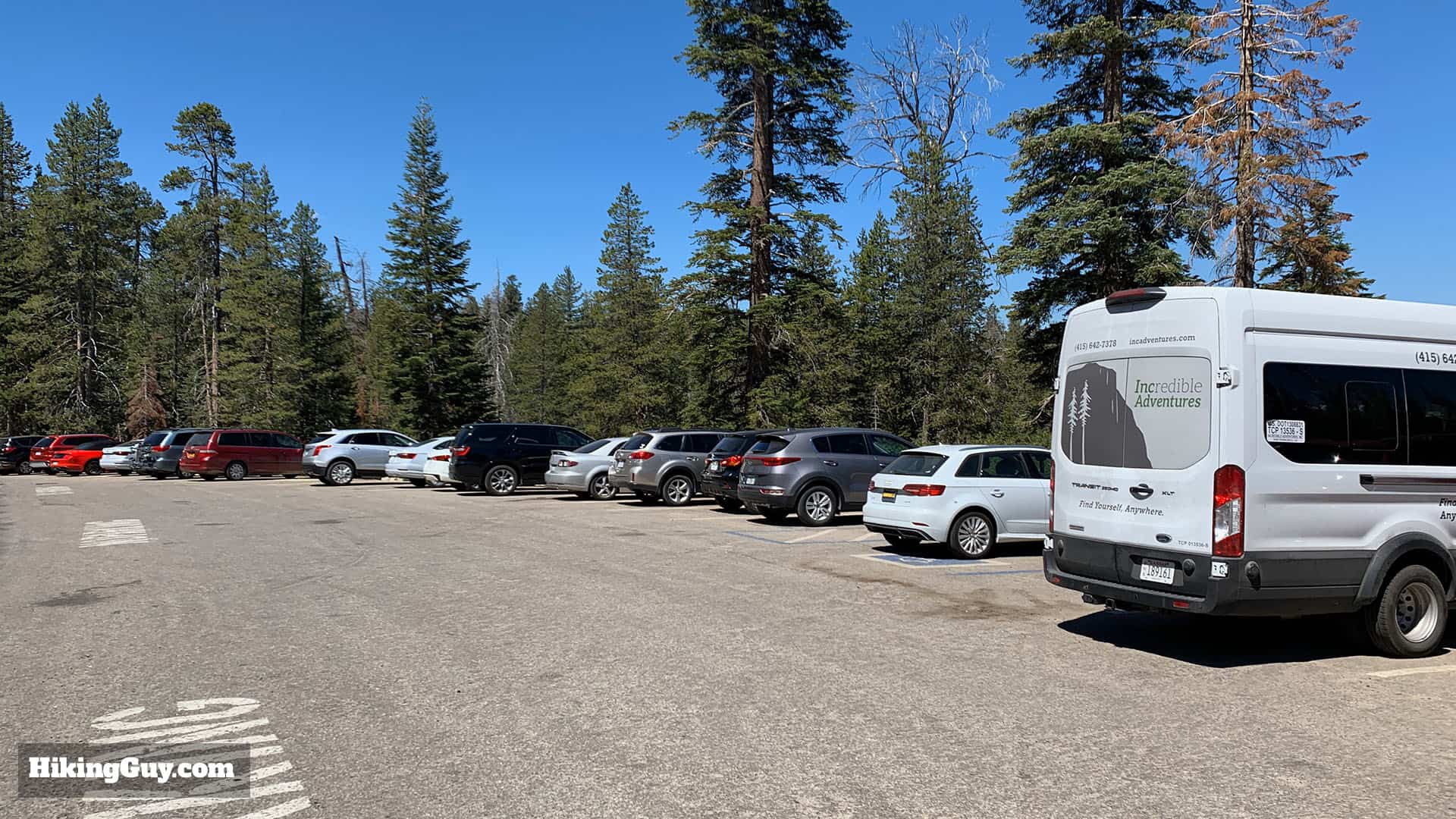
The trailhead is about 6 miles after you turn-off onto Glacier Point Road, and the parking lot is on the left-hand side of the road. There is also parking along Glacier Point Road if the lot is full. The trailhead is about 2 miles before the end of the road at Glacier Point.
Gear for the Hike
- This is a pretty straightforward and short hike. Ideally you have light hiking gear, but you can also get away with fitness clothes or even casual wear. Bring 0.5L of water and of course, a camera.
- The hike is great to do at sunset or on a full moon. If you go at sunset, bring a headlamp because it will be dark on the way down.
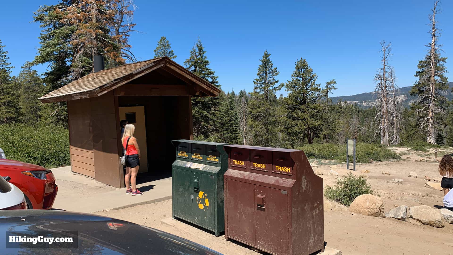
- If you want snacks or supplies, head up Glacier Point Road for a few minutes to Glacier Point which has gift shops, snacks, etc.
Essentials I’m Using Now
- Garmin inReach Mini 2: Reliable SOS Everywhere on Earth
- Sawyer + CNOC Water Filter: Easy & Reliable Safe Water
- Nitecore NU25 Headlamp: Running late? Get home safe
- Altra Olympus 275: Favorite trail shoes right now, no blisters and very comfy.
- AllTrails Plus (30% off): Offline maps on your phone with the Plus level
- Full November 2025 Gear List →
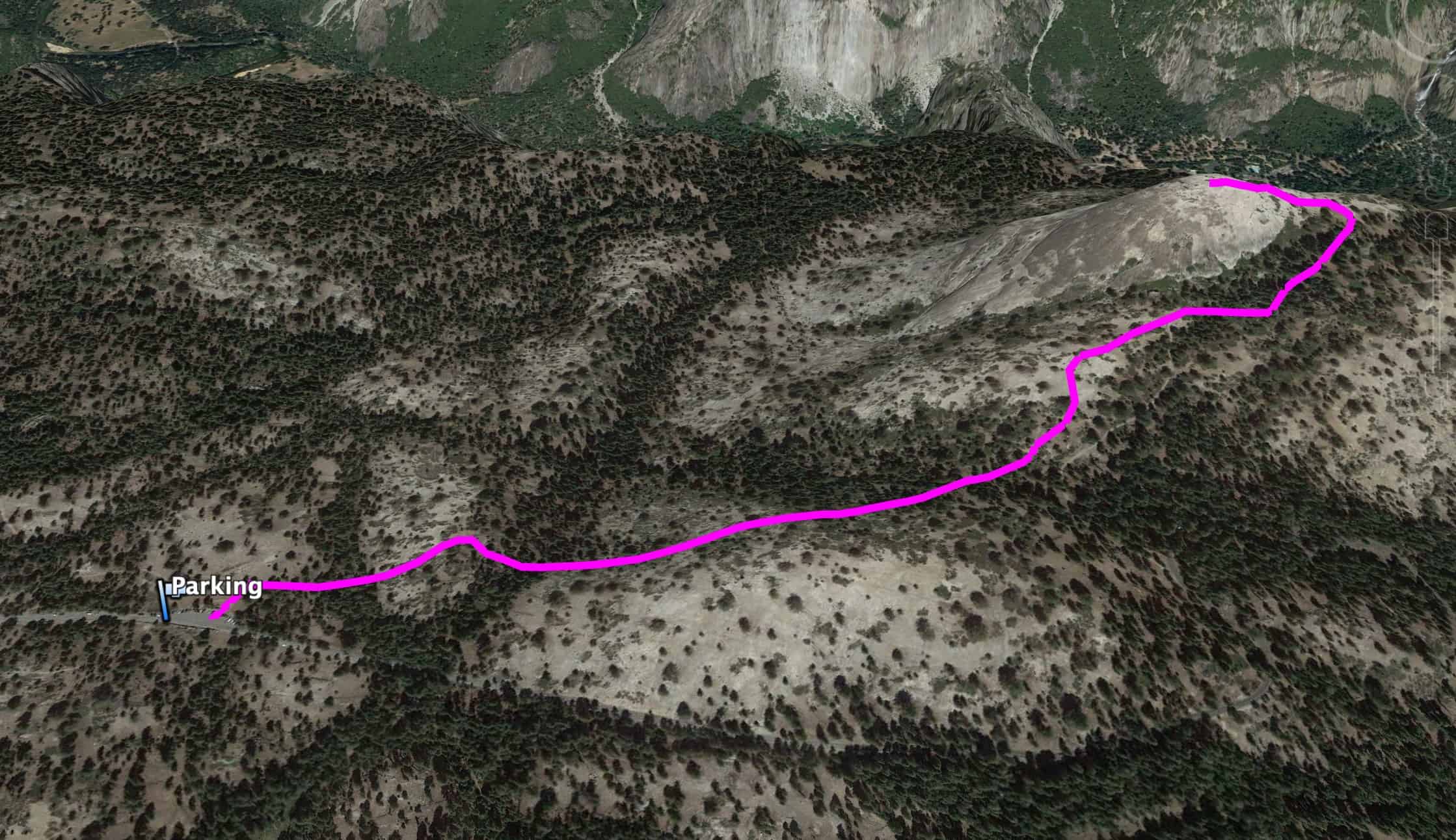
Sentinel Dome Trail Maps
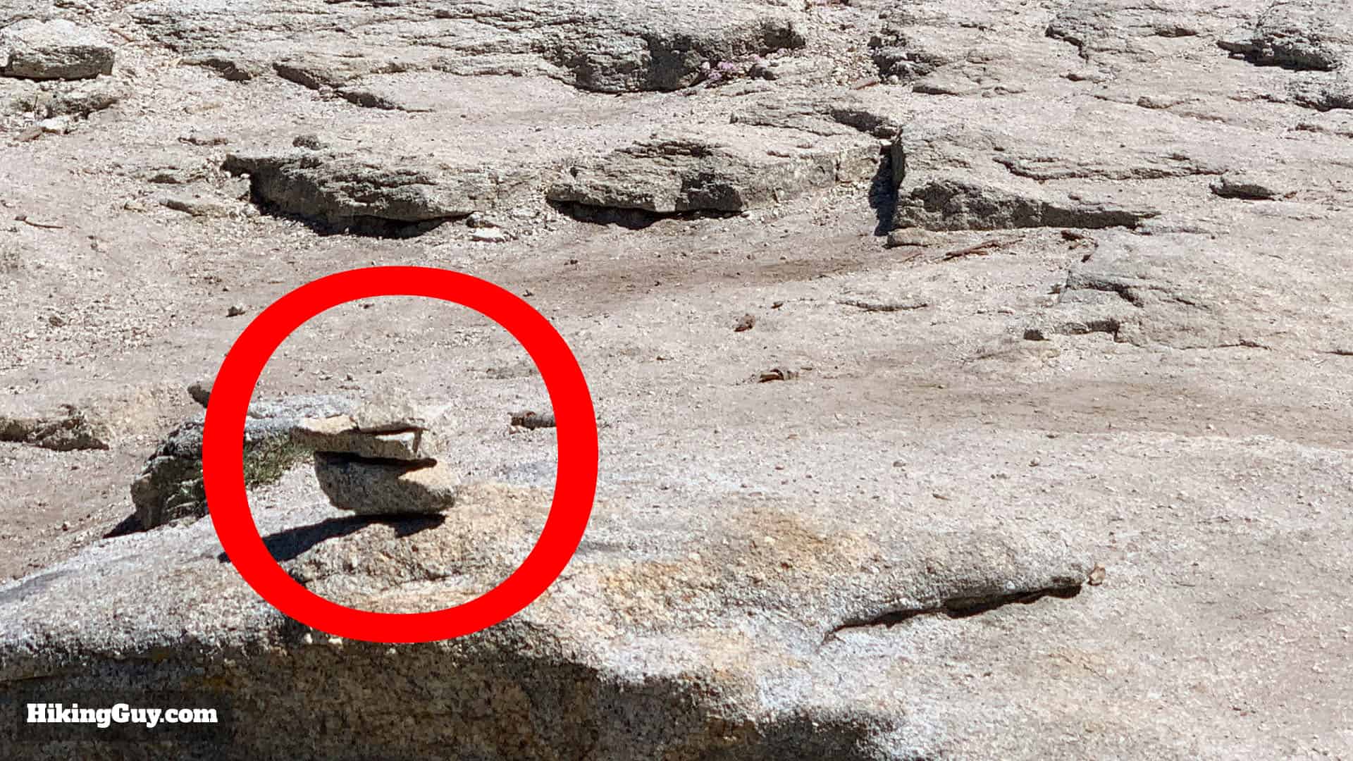
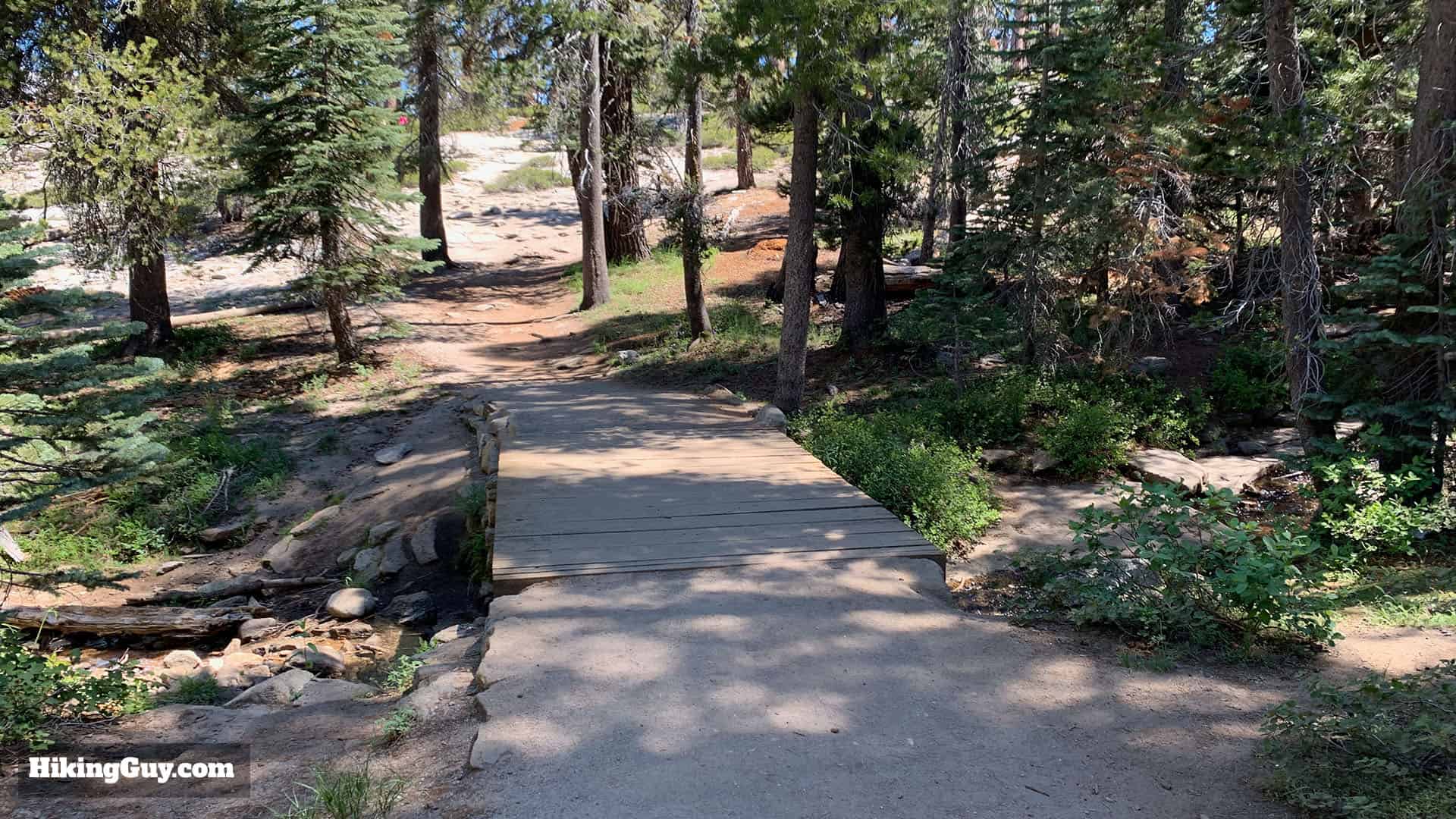
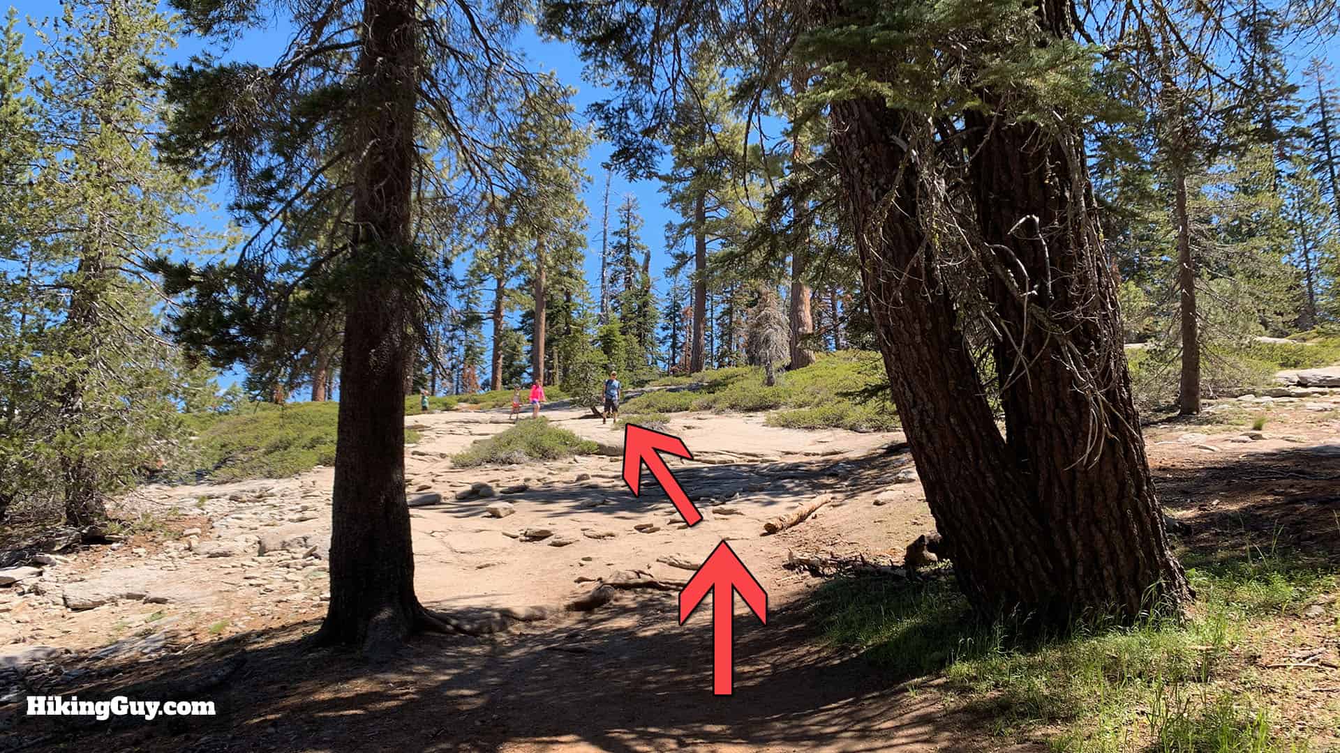
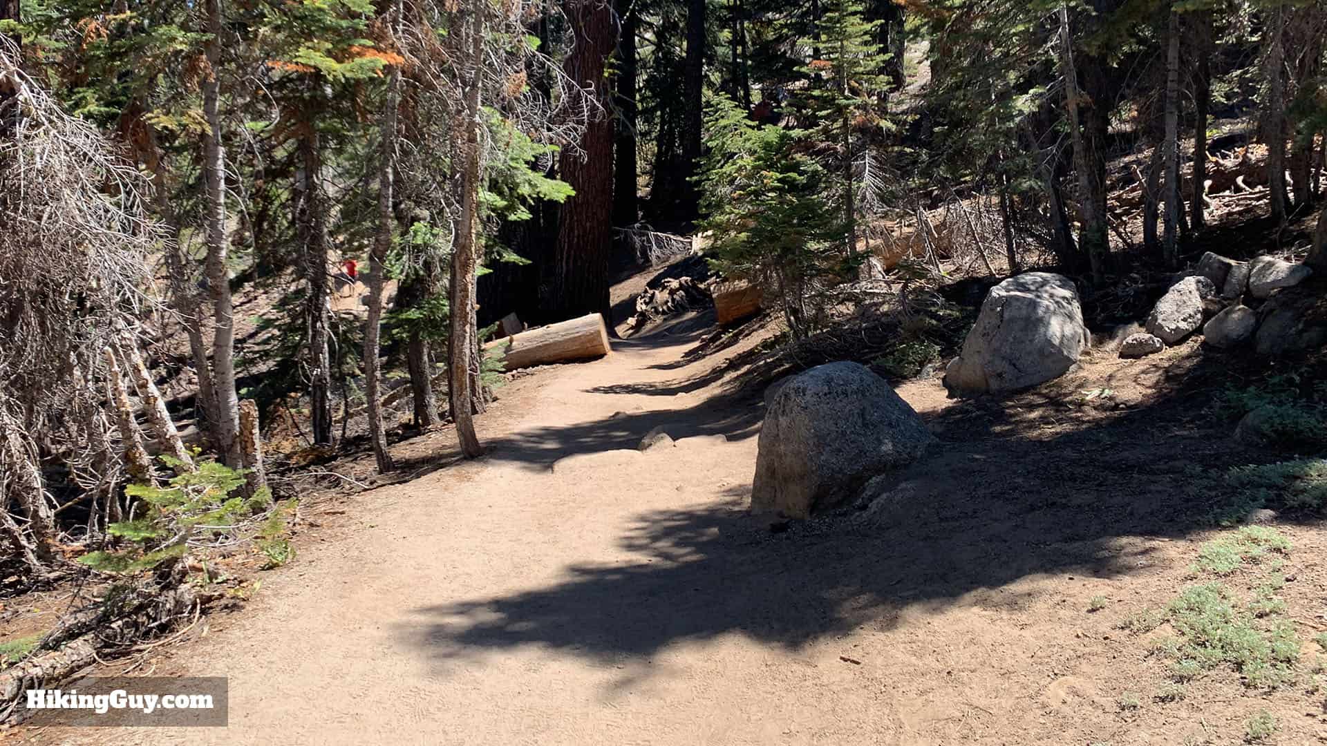
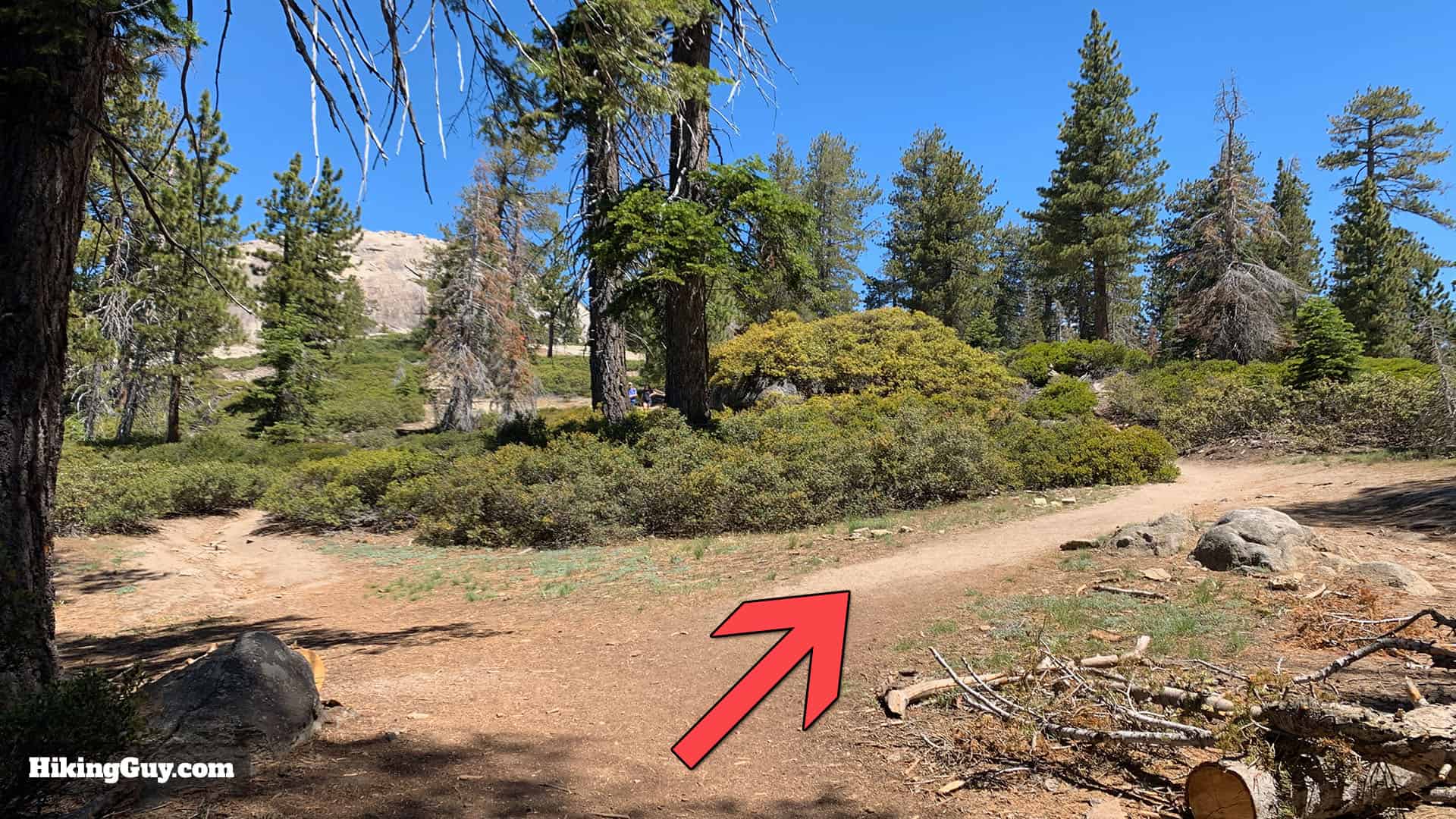
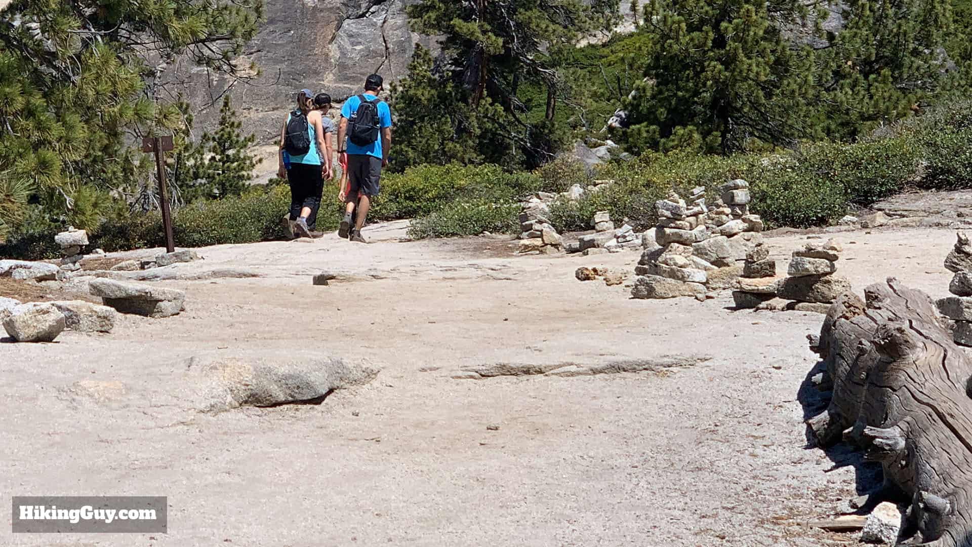
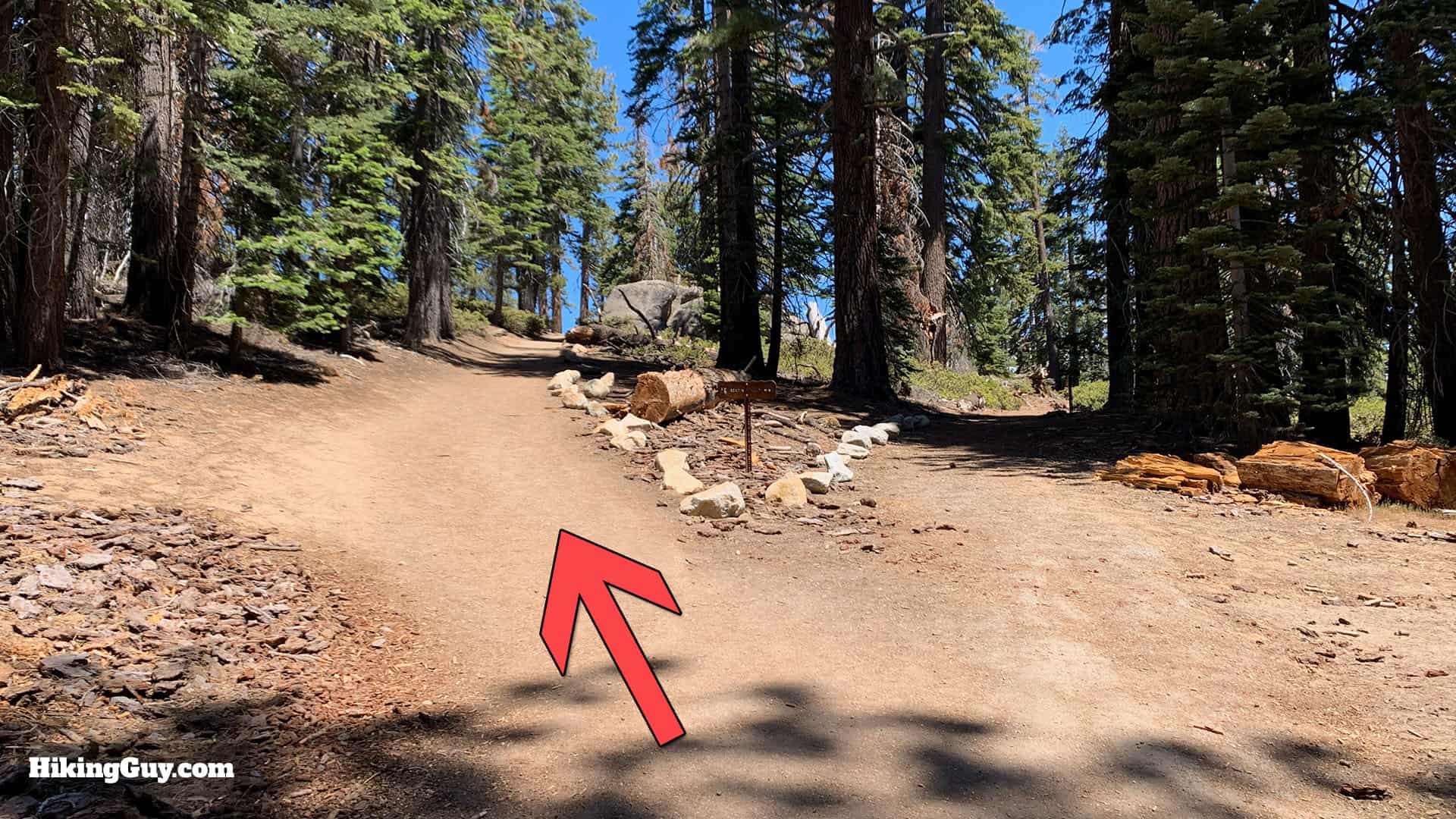
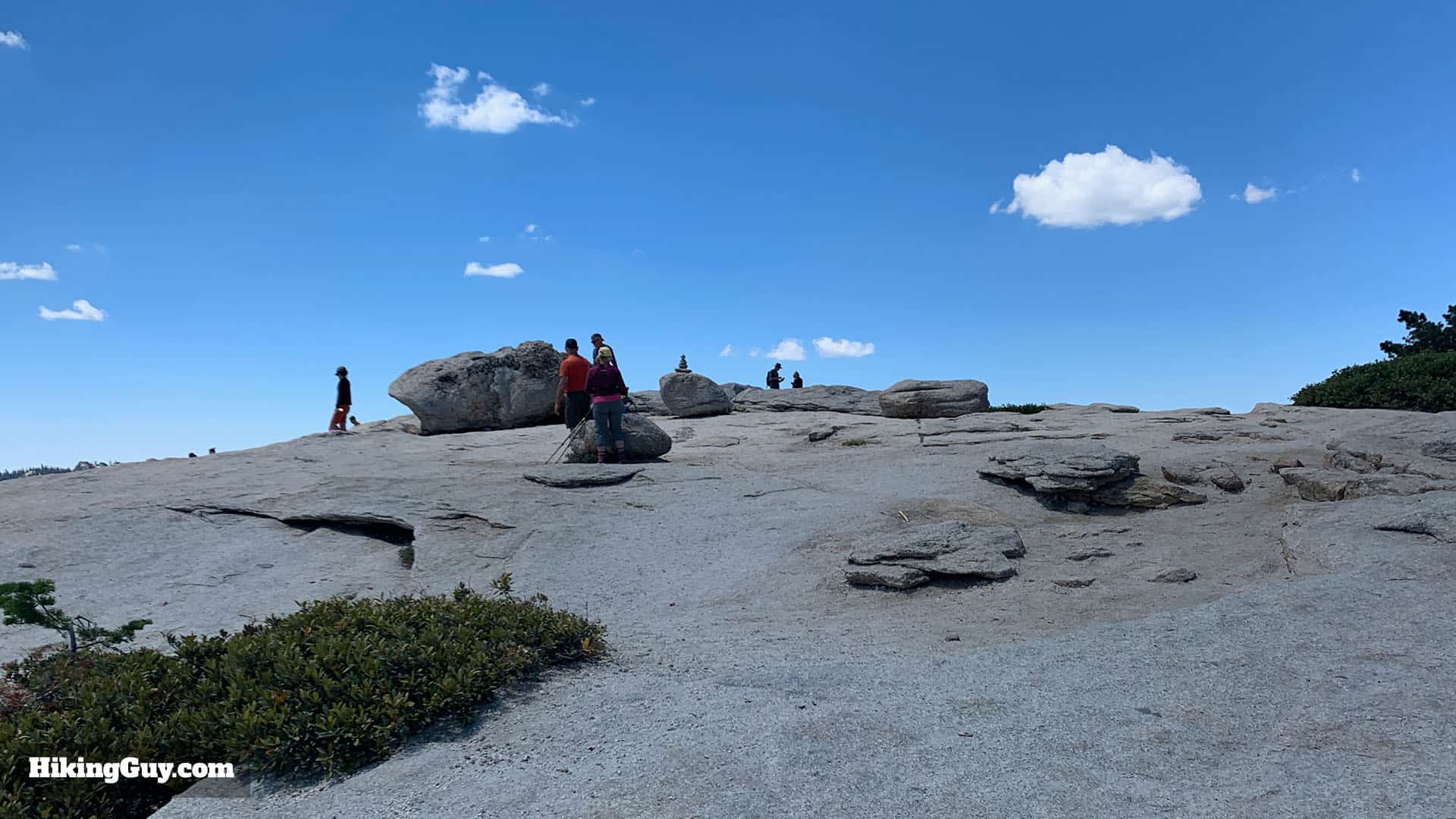
The trail to Sentinel Dome is easy to follow and sees hundreds of hikers each day. There are some short sections that go over granite and are marked with cairns (small stacks of stone).
Elevation Profile
3d Map
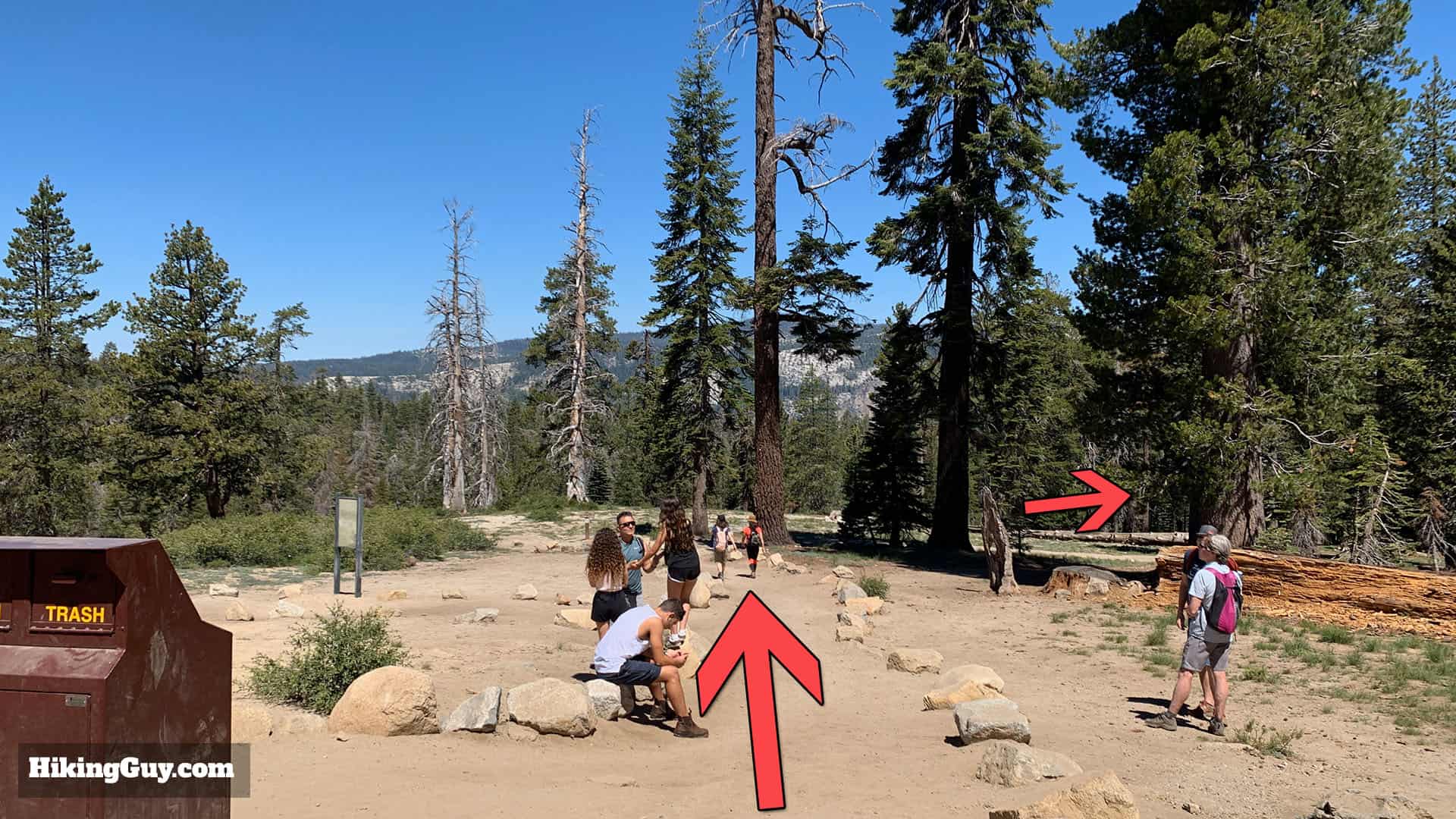
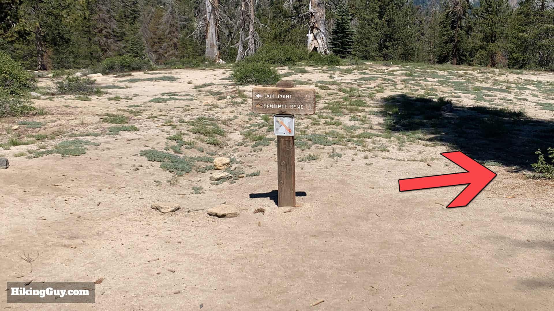
Sentinel Dome Hike Directions

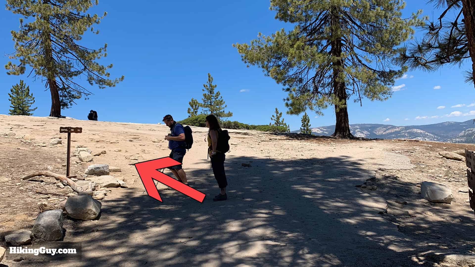
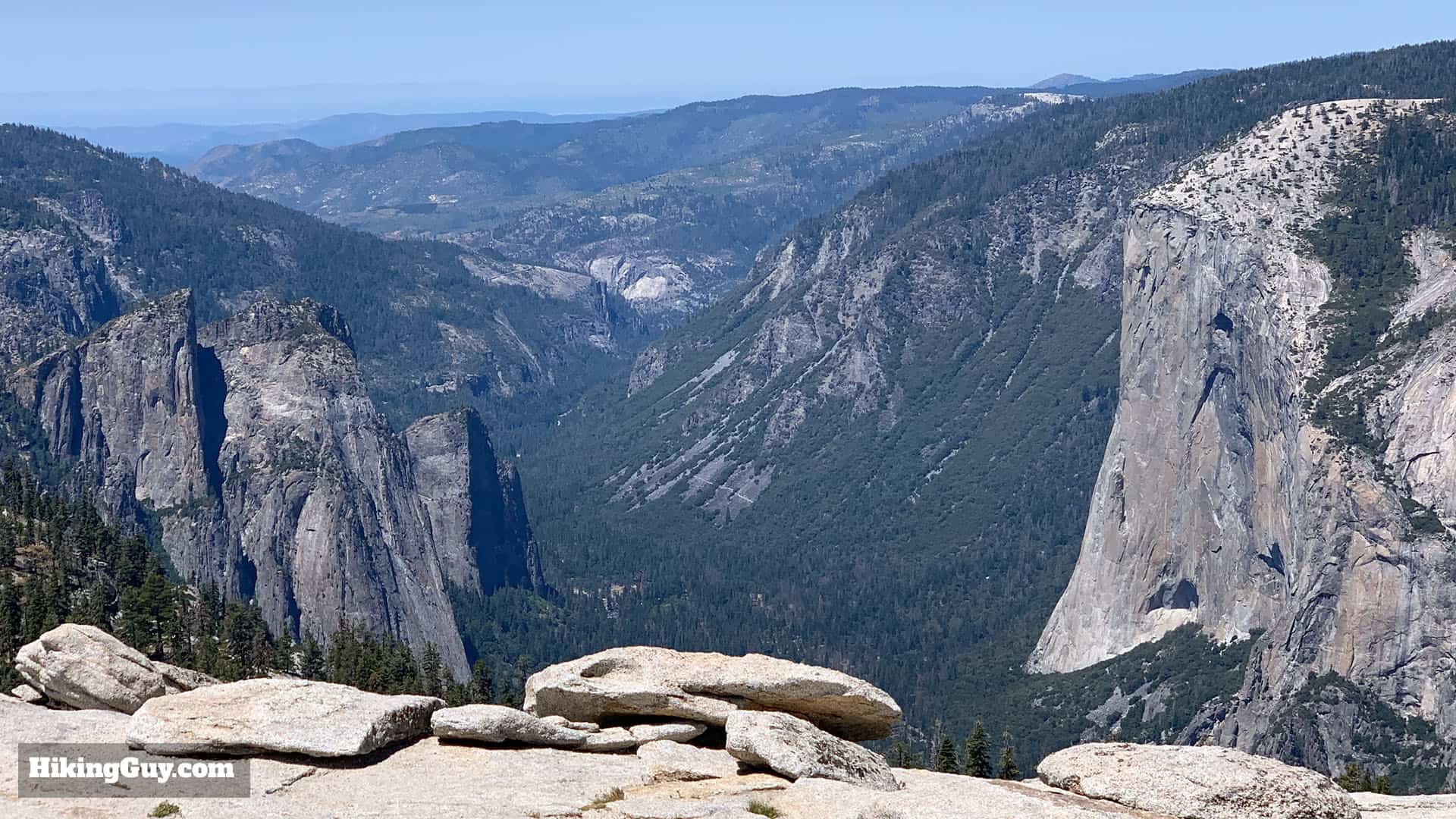
Use common sense and don't go too close to the edges. If you see thunderstorm clouds building in the distance, it's a good time to start heading back down to your car.
From here you just head back down the way you came up, and that's the hike!