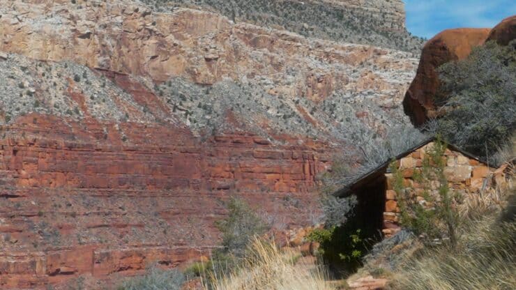

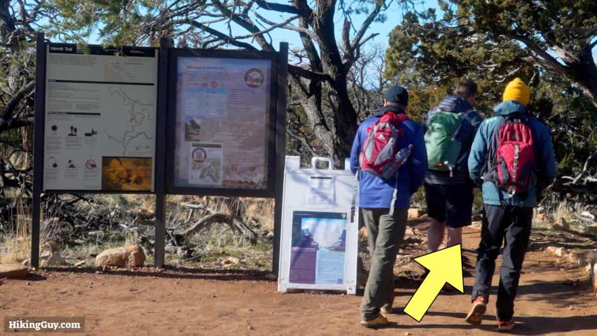
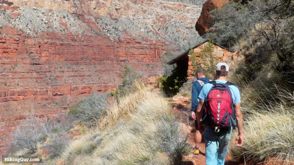
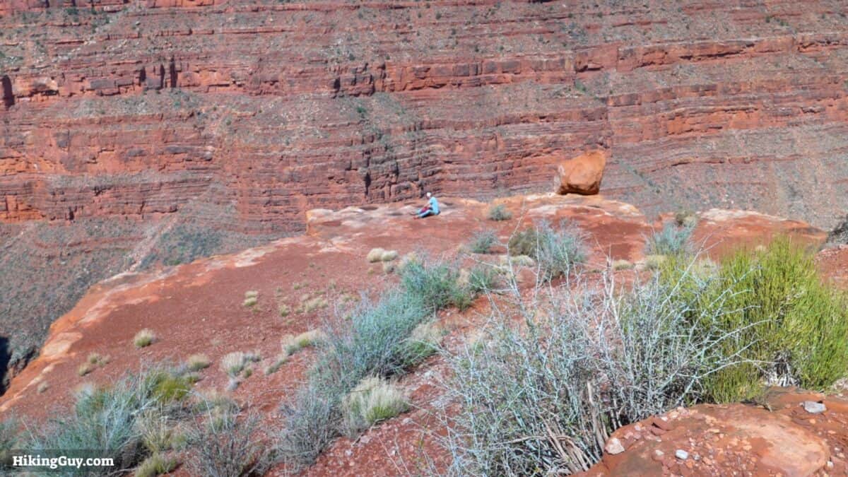
If you're looking for an epic hike into the Grand Canyon away from the crowds, the Hermit Trail is your move. This hike to Santa Maria Spring takes you to a beautiful shelter with views into Hermit Canyon.
- Getting to the Trailhead
- Hike Video & Directions
- Insider Tips for the Hike
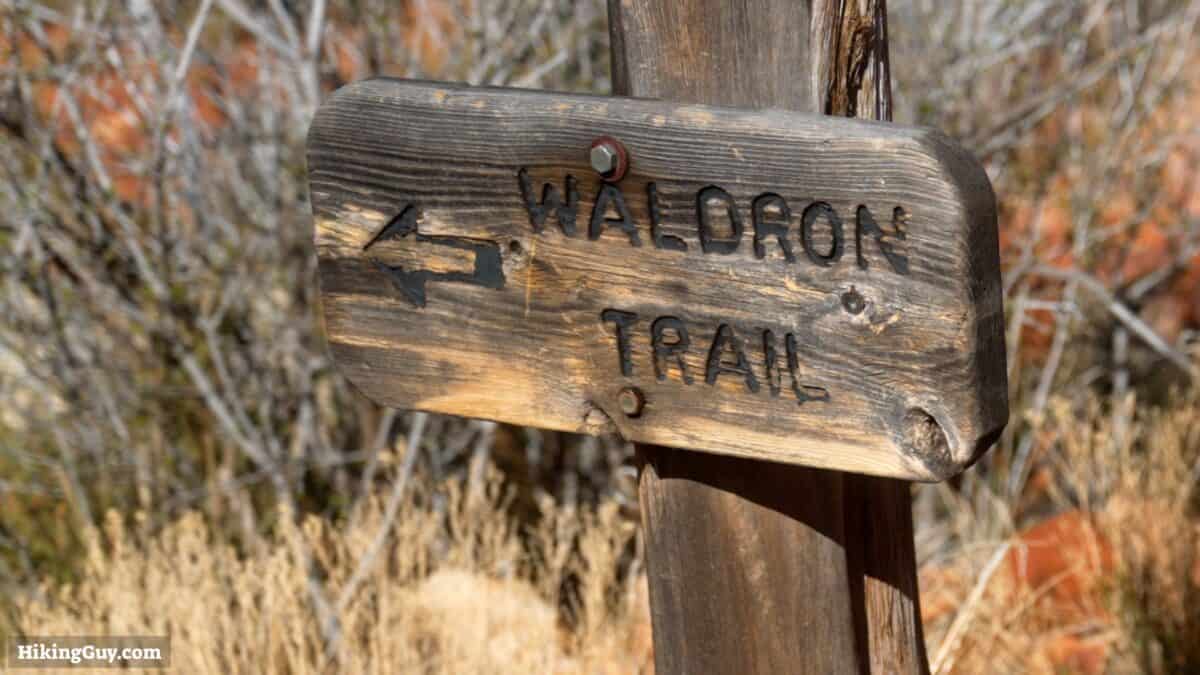
Where is the Hermit Trail?

Gear Recommendations
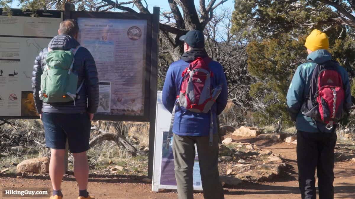
This is a backcountry hike and you should prepare accordingly.
- The Grand Canyon is a place of extremes. Prepare accordingly by checking the weather.
- In the winter, the trail can be covered in snow and ice. You'll need micro-spikes and poles.
- In the summer, temperatures can be deadly. If it's hot out, skip the hike or leave before sunrise when temperatures are cooler.
- When it's hot, I bring 2L of water. Other times 1L is okay.
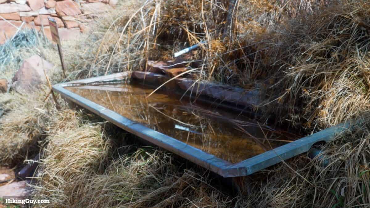
- If you want to refill at Santa Maria Spring, you must tread the water with a filter.
- Trekking poles are helpful on the steep slopes.
- The trails are well-groomed and you can use trail runners.
- Don't expect cellular coverage; bring a satellite communicator.
Gear That I Love Right Now
Nothing is sponsored or promoted, just the actual gear that I use.


Check out the complete list here. ( Updated October 2024)
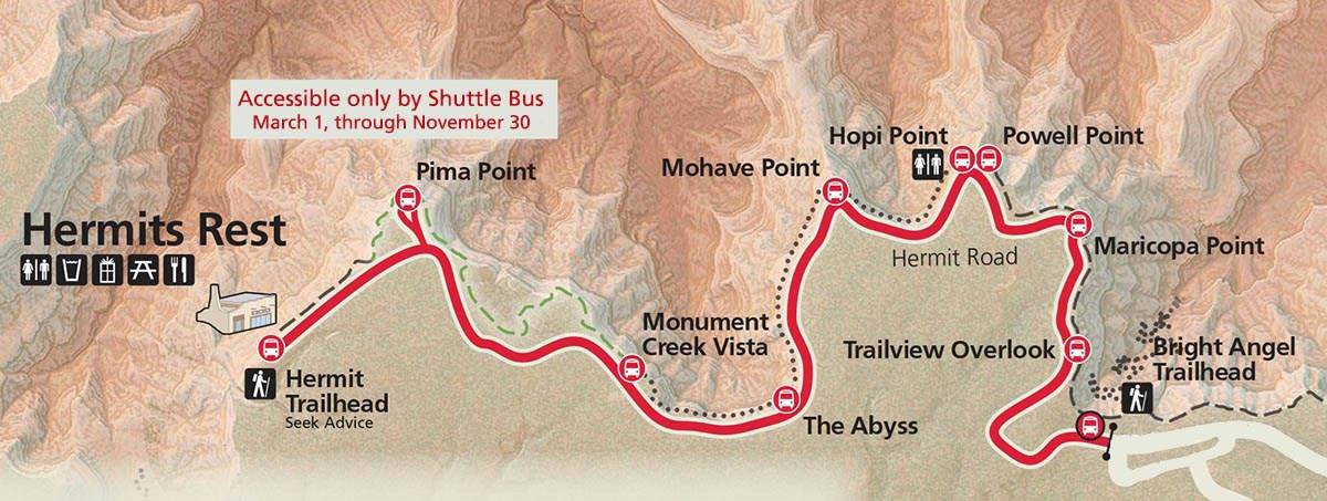
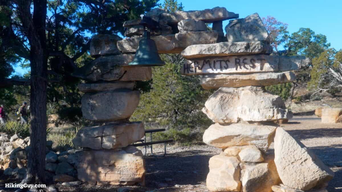
Hermit Trail Trail Maps

How Will You Navigate?
 Using the Apple Watch for Hiking
 Garmin Fenix 7 & Epix Review For Hikers
 How To Read a Topographic Map
 Garmin GPSMAP 67i Review
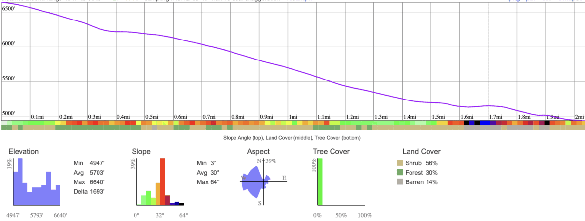
Elevation Profile
3D Map
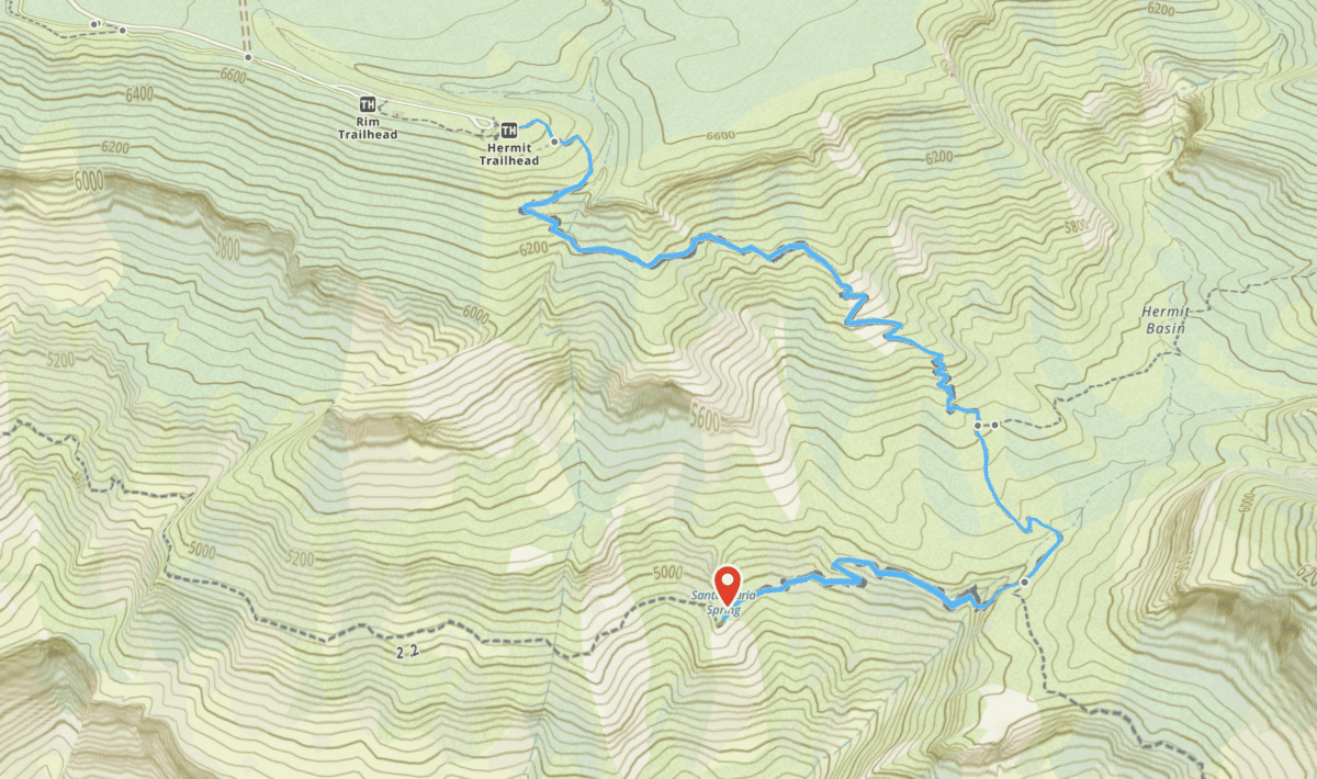
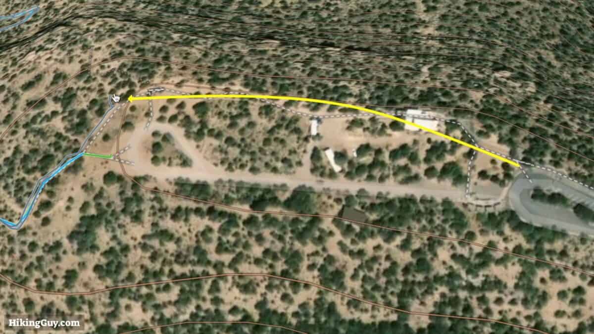
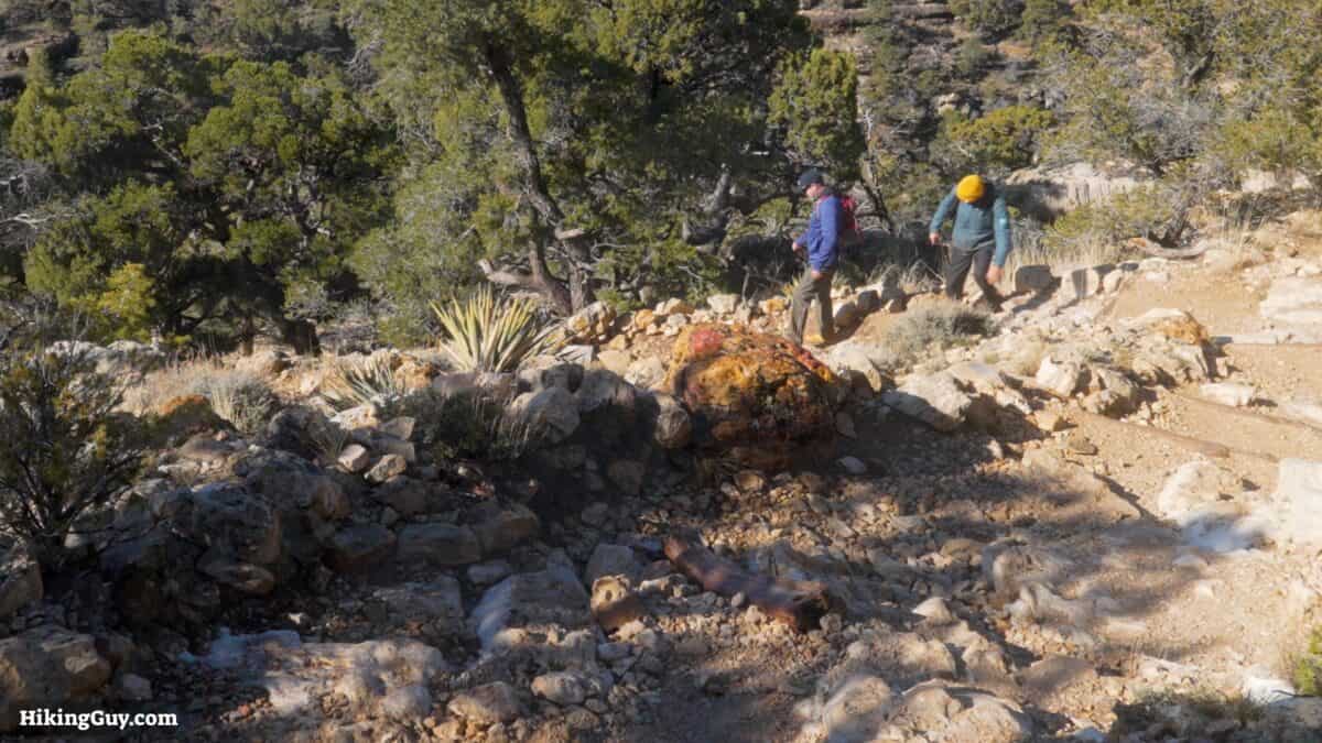
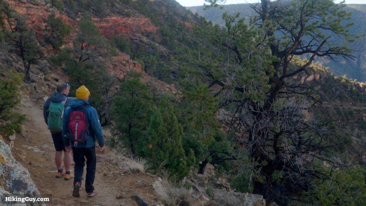
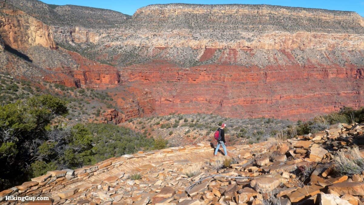
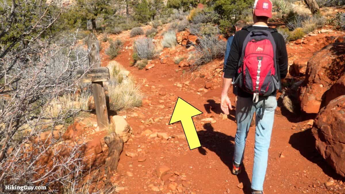
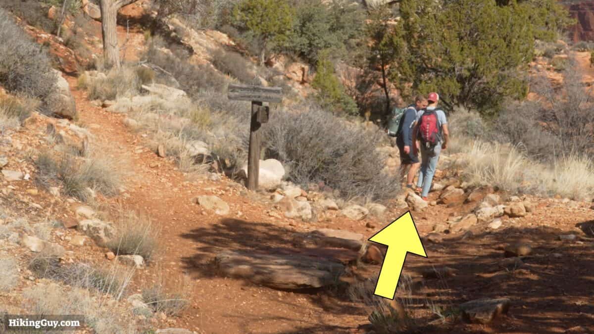
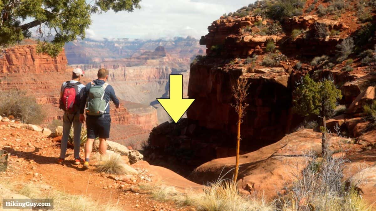
Santa Maria Spring Hike Directions
Need More Info?
- Have a question about the guide? Join my Patreon and ask me a question.
- When planning, always check the park website and social media to make sure the trails are open. Similarly, check the weather and road conditions.
- Do you have an update to this guide? View the Youtube comments for this video. Leave a comment and I will do my best to update the guide.
 Hike 1.5 Mile Resthouse on the Bright Angel Trail
 Cedar Ridge Trail
 Grand Canyon Hikes
Popular Guides
 Best Hiking Gear 2024
 Hiking Boots or Shoes: Do I Really Need Hiking Boots?
 When to Hit SOS on inReach
This Guide Was Written by Cris Hazzard

Hi, I'm Cris Hazzard, aka Hiking Guy, a professional outdoors guide, hiking expert, and author based in Southern California. I created this website to share all the great hikes I do with everyone else out there. This site is different because it gives detailed directions that even the beginning hiker can follow. I also share what hiking gear works and doesn't so you don't waste money. I don't do sponsored or promoted content; I share only the gear recommendations, hikes, and tips that I would with my family and friends. If you like the website and YouTube channel, please support these free guides (I couldn't do it without folks like you!). You can stay up to date with my new guides by following me on YouTube, Instagram, or by subscribing to my monthly newsletter.