
Bommer Canyon Trail Hike Guide
Hike Stats
- Total Distance
- 4.8 miles
- Time
- 2
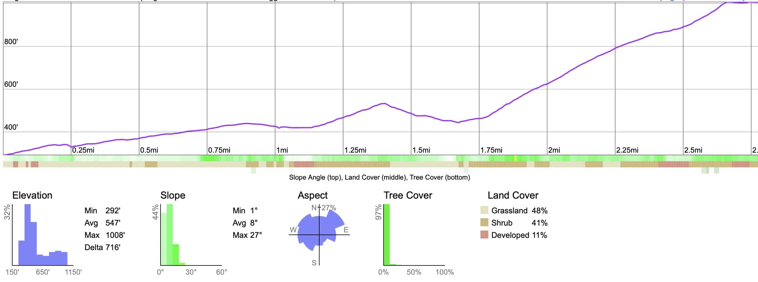
- Total Climbing
- 900 feet
- Difficulty
- Moderate
- Crowds
- Moderate
- Dogs
- No Dogs
- Gear
- What I Use
- Weather
- Latest Report
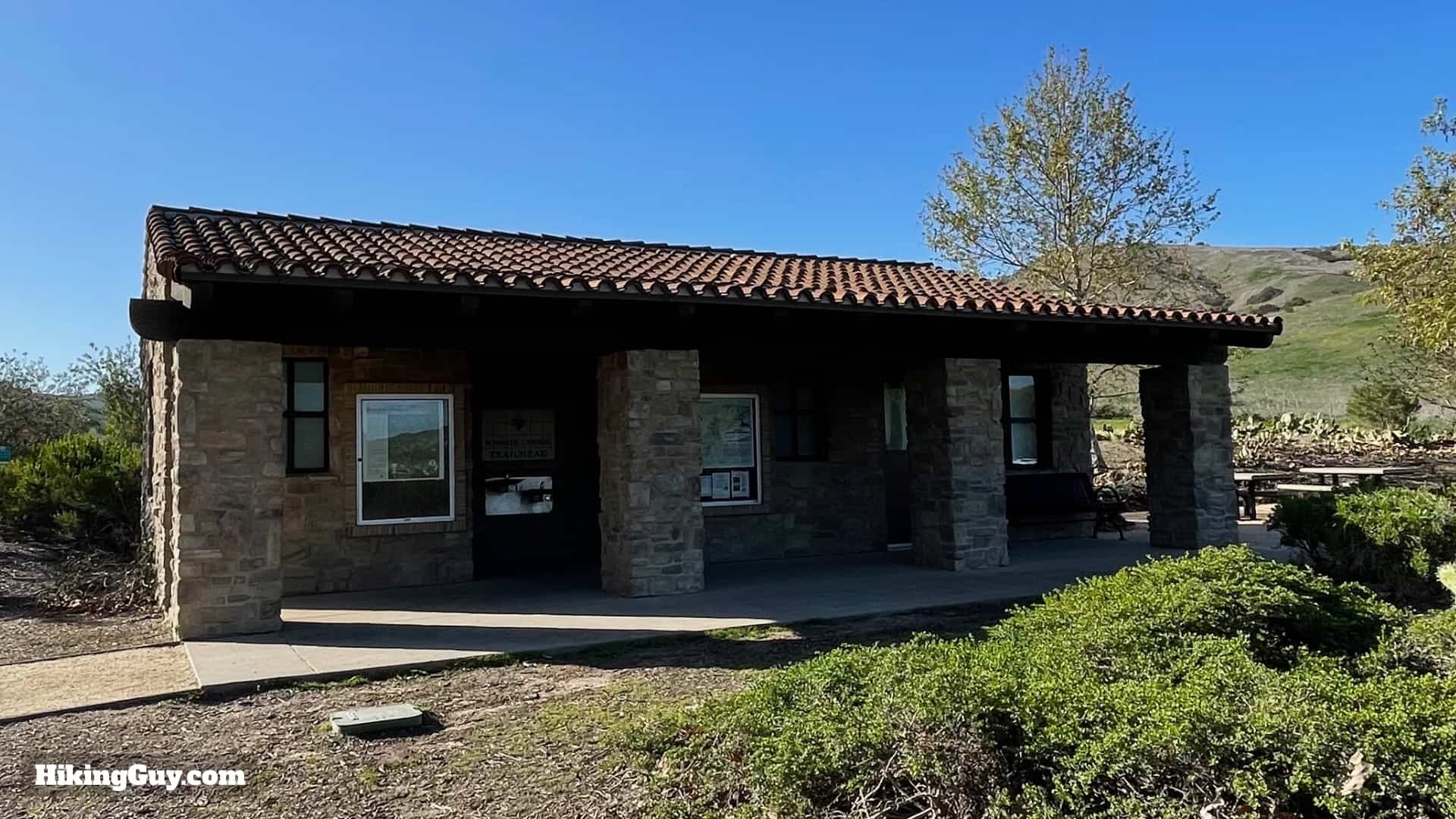
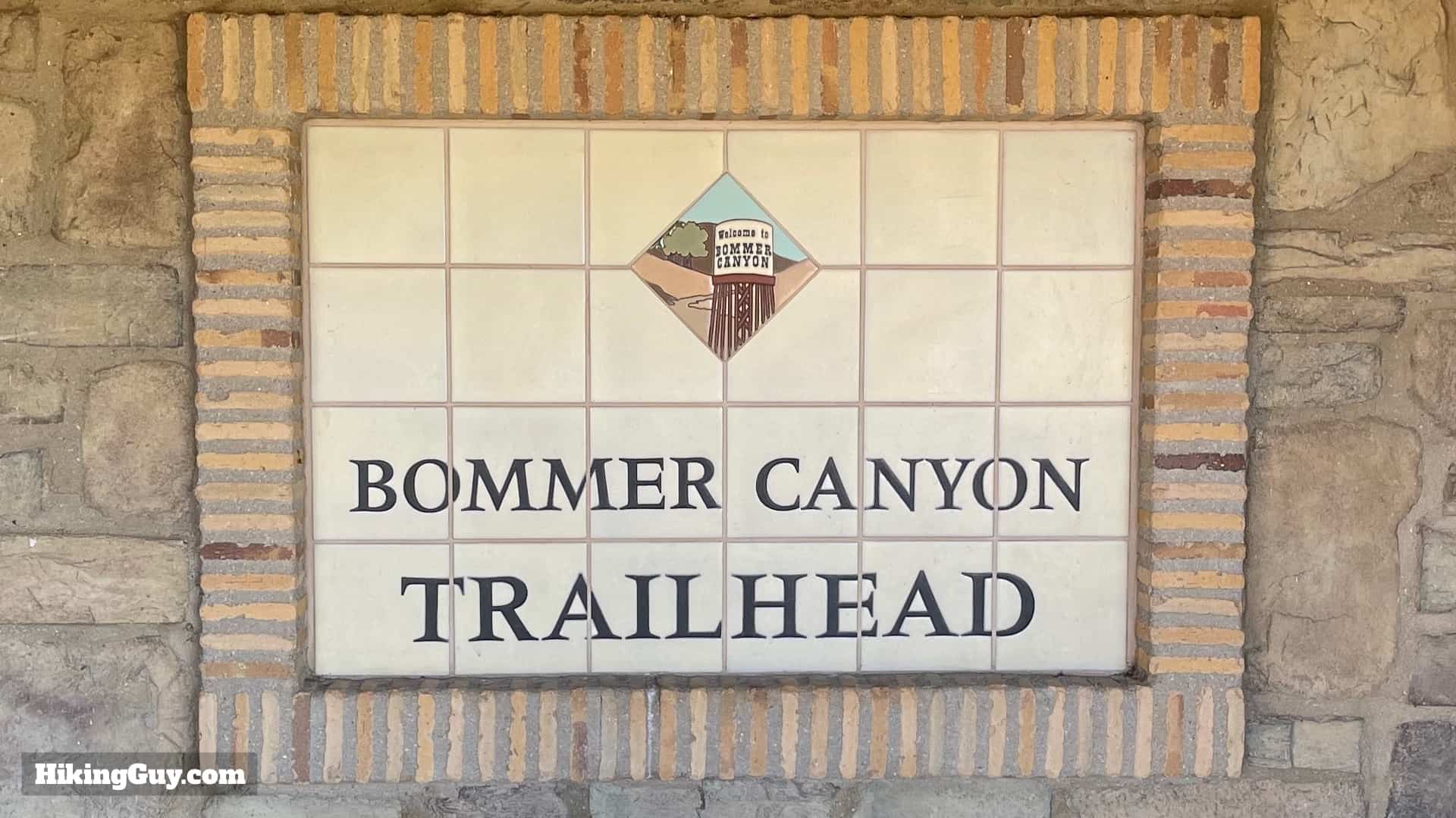
- Park
- Bommer Canyon
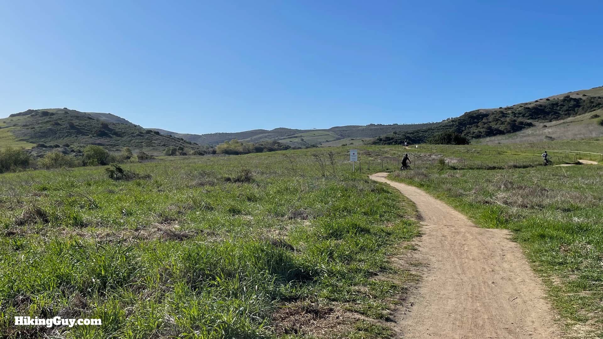
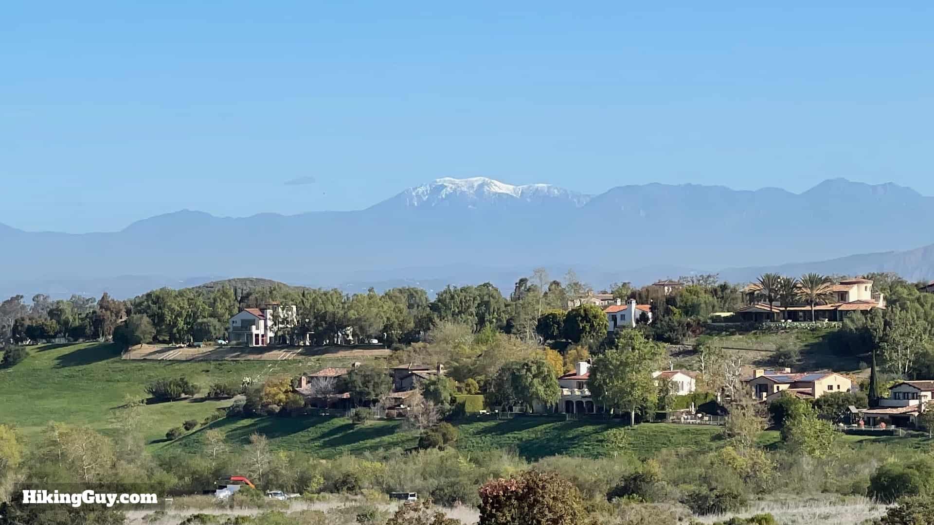
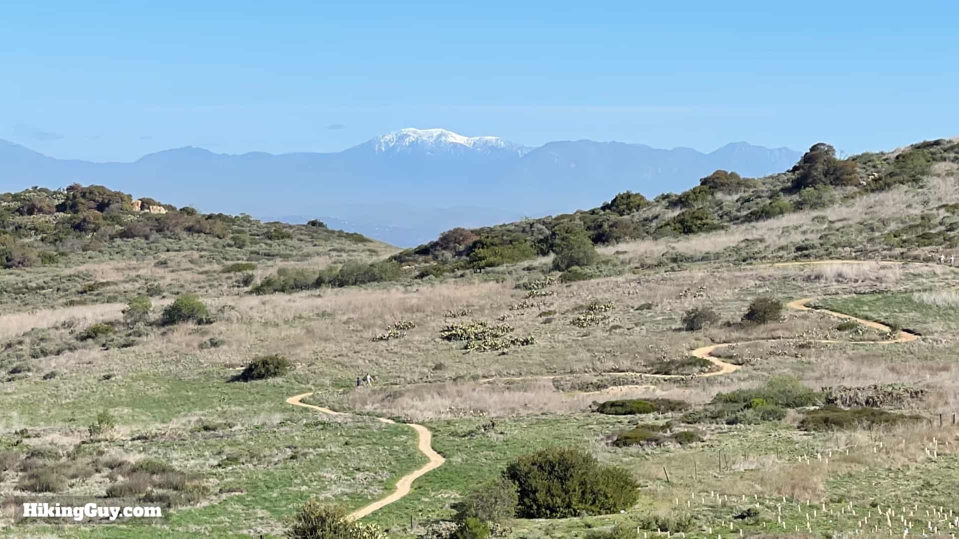
The Bommer Canyon Trail, a natural oasis nestled within suburbia, offers a little bit of everything. This easy hike showcases natural beauty, has lots of wildlife spotting opportunities, an interesting history, and sweeping vistas as you approach the highest point in the San Joaquin Hills. The full 4.8 mile hike includes some uphill, but if you want to do something easy, I'll show you an easy 2 mile option that's flat and great for families. Bommer Canyon is a National Natural Landmark and California's first Natural Landmark; it's worth visiting.
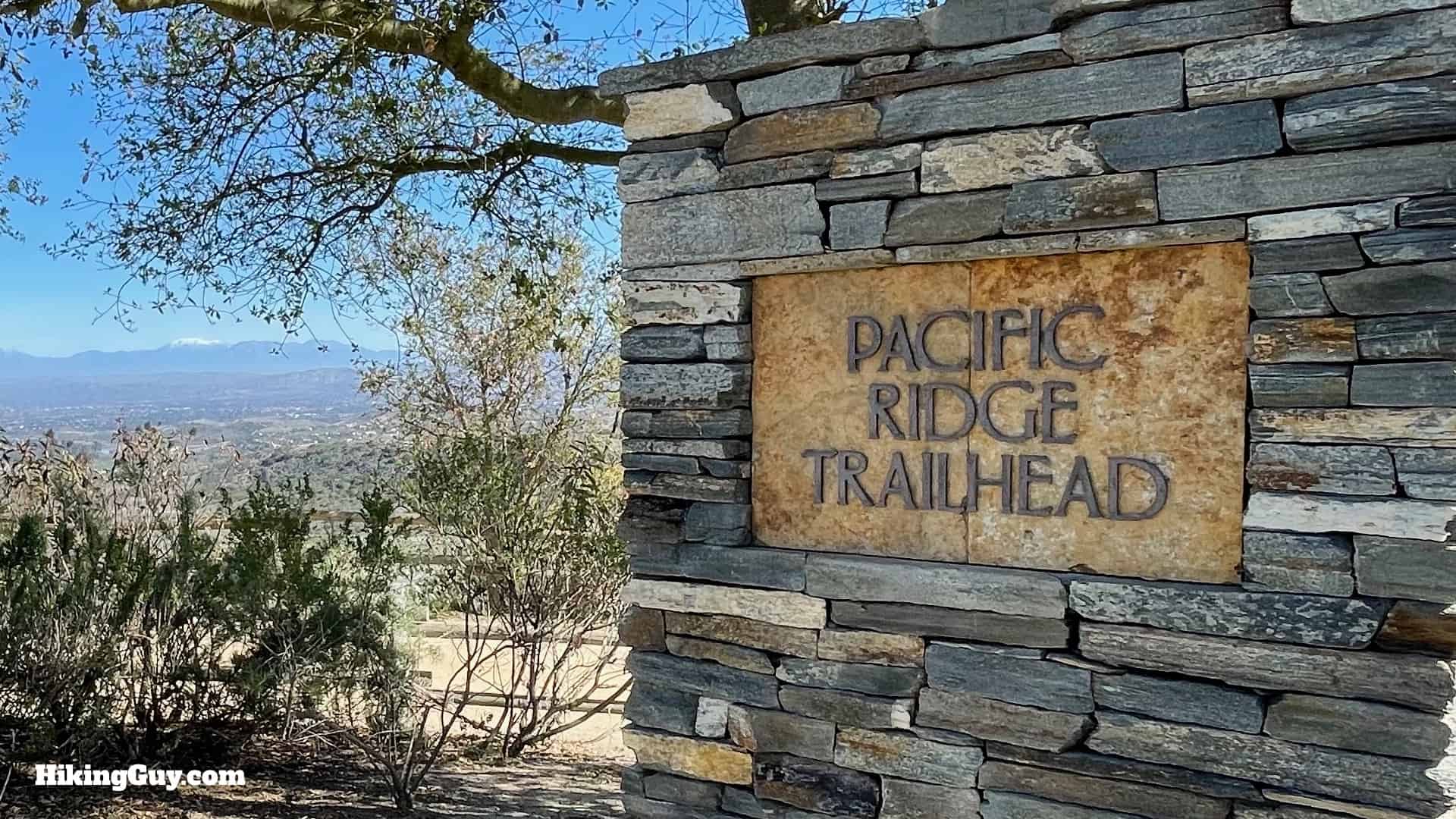
Where is the Bommer Canyon Trail?
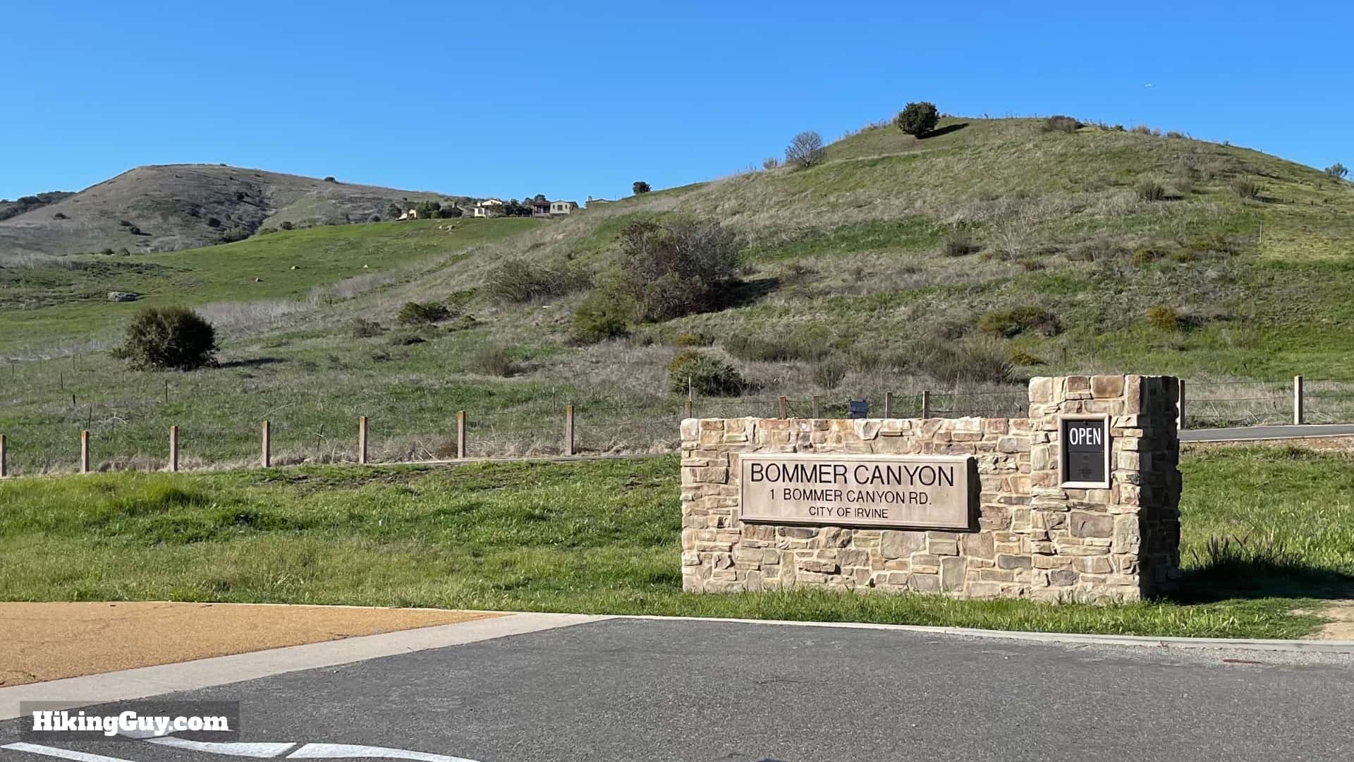
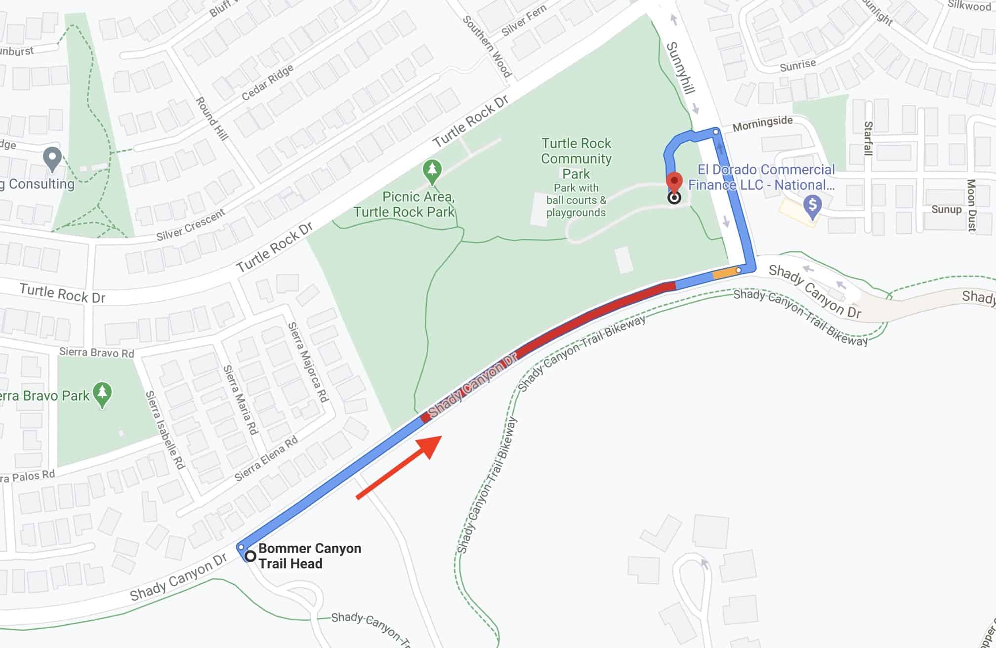
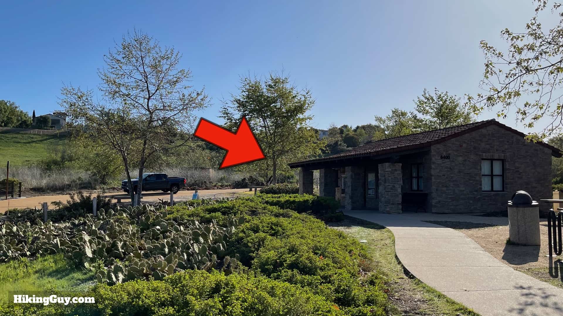
The main trailhead is in Irvine, CA. Use this address:
6400 Shady Canyon Trail, Irvine, CA 92603
Gear For the Hike
This is an easy trail where you can get away with fitness clothes or light hiking gear. Good trail shoes will help on the dirt, and trekking poles can help on the steeper climb at the end. Bring 1L of water. It can get hot in the summer; there isn't any shade.
Essentials I’m Using Now
- Garmin inReach Mini 2: Reliable SOS Everywhere on Earth
- Sawyer + CNOC Water Filter: Easy & Reliable Safe Water
- Nitecore NU25 Headlamp: Running late? Get home safe
- Altra Olympus 275: Favorite trail shoes right now, no blisters and very comfy.
- AllTrails Plus (30% off): Offline maps on your phone with the Plus level
- Full December 2025 Gear List →
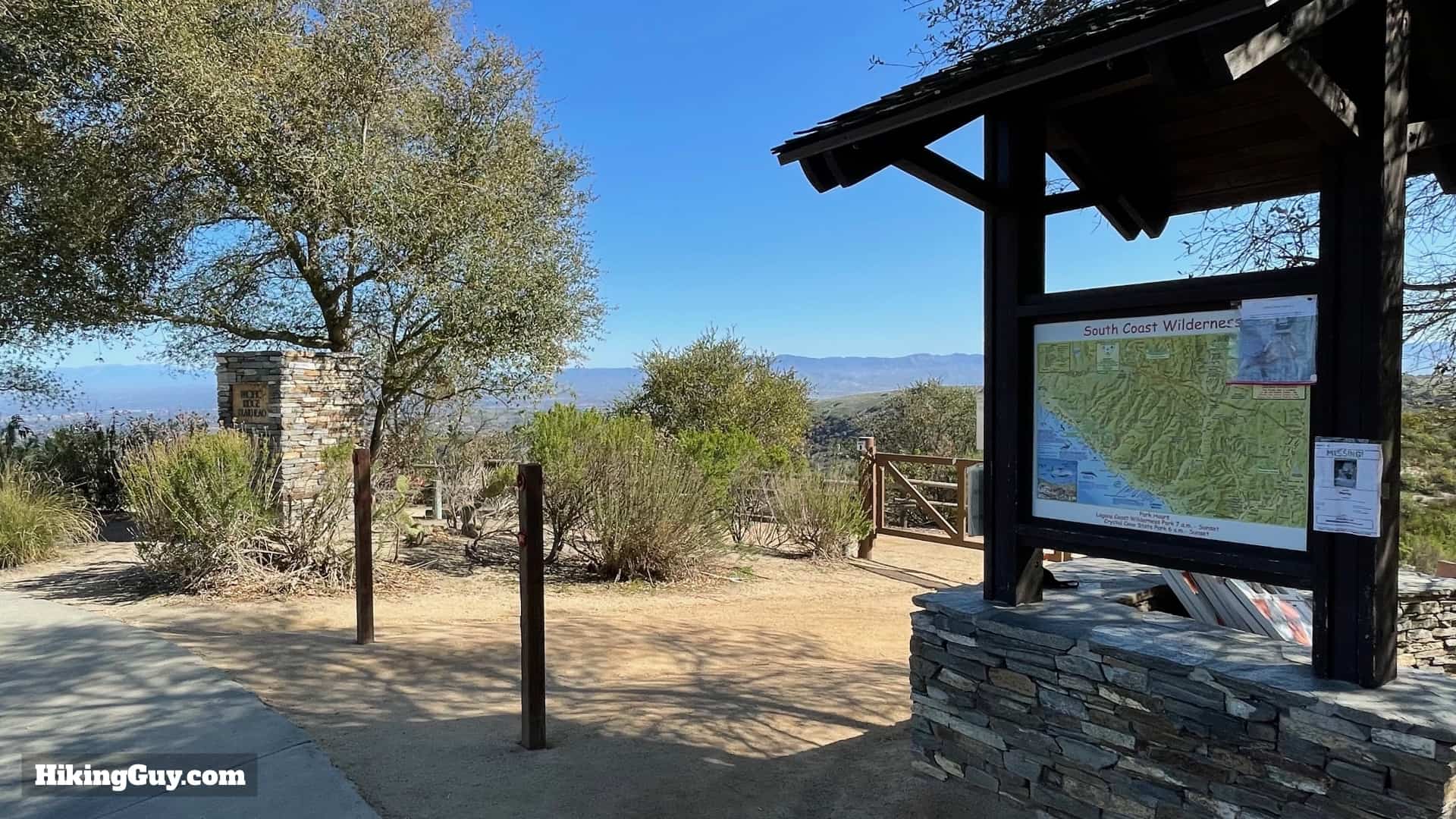
Bommer Canyon Trail Maps
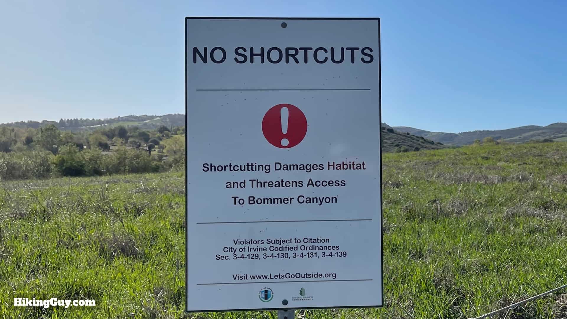
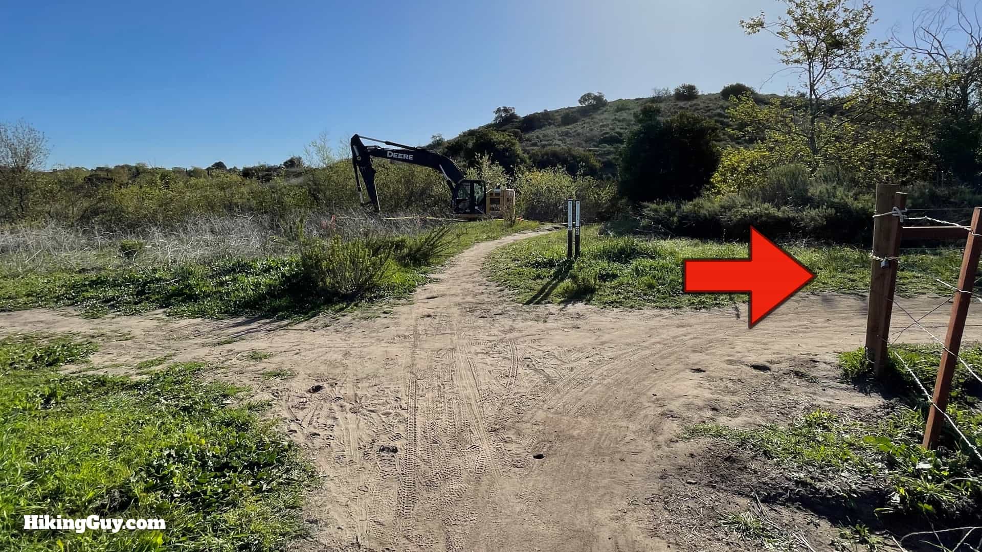
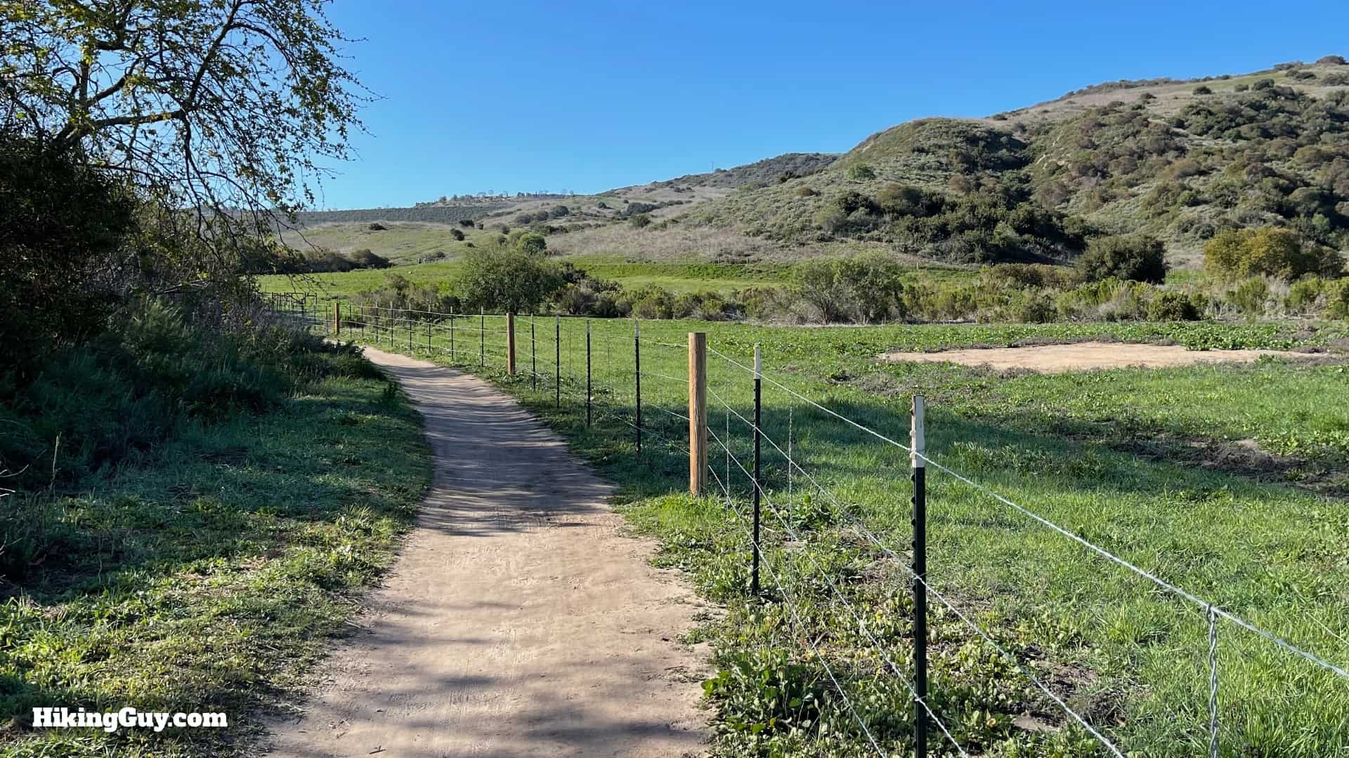
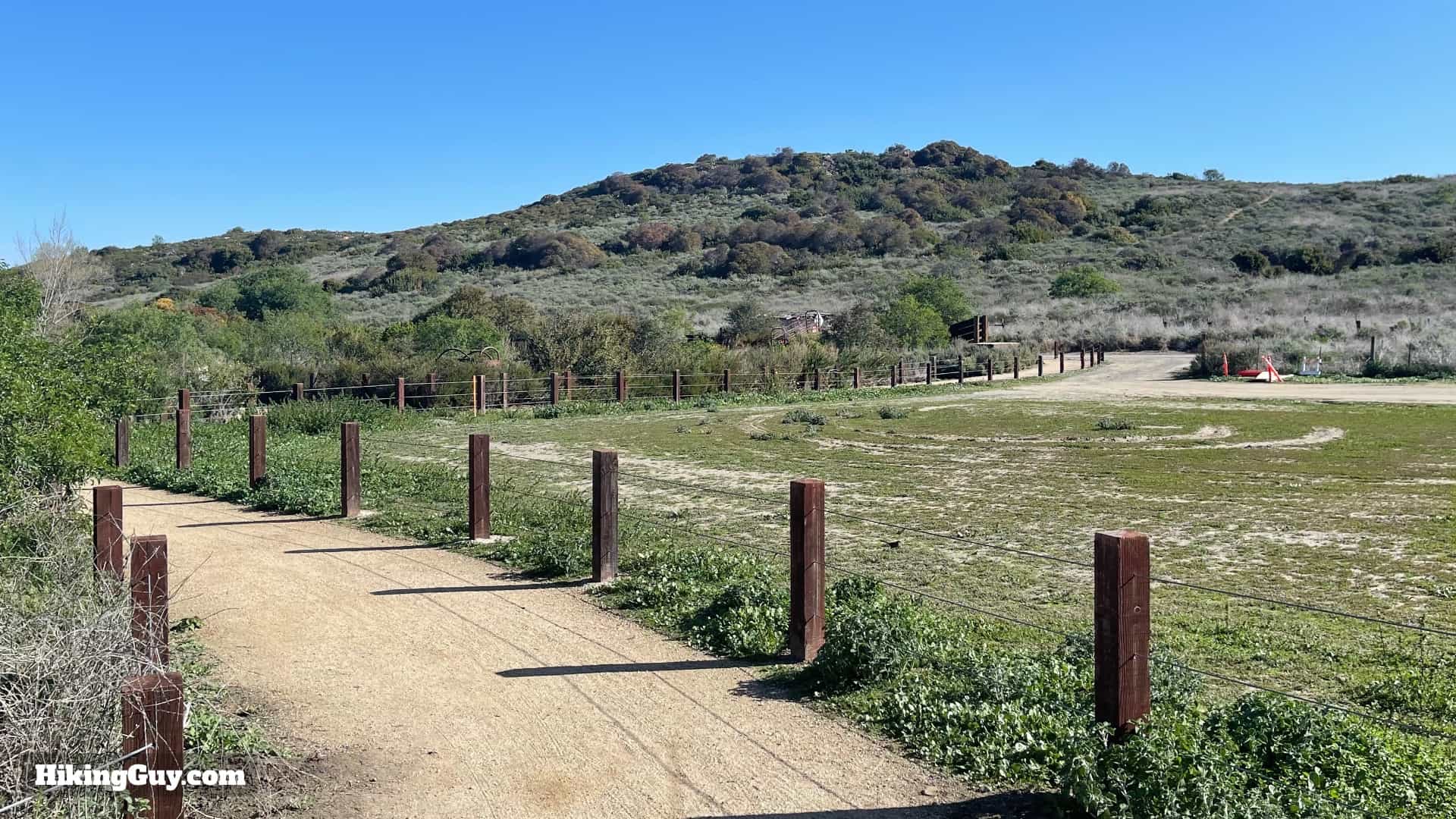
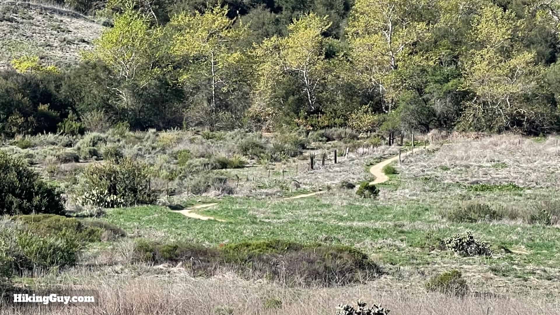
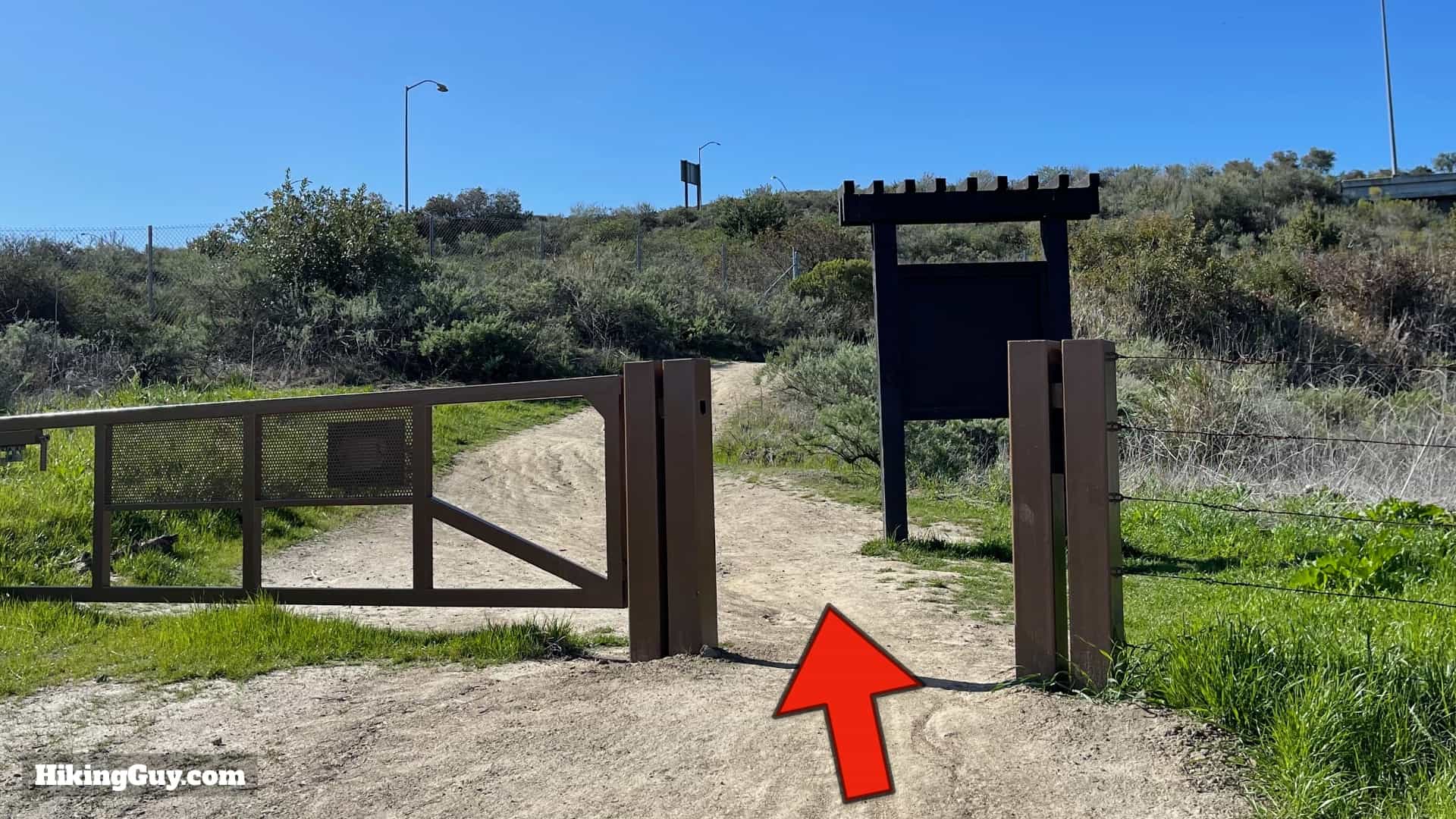
Overall the trails are well-marked and well-maintained. Please stay on the trails and respect the signage.
Elevation Profile
3D Map

Hike Brief
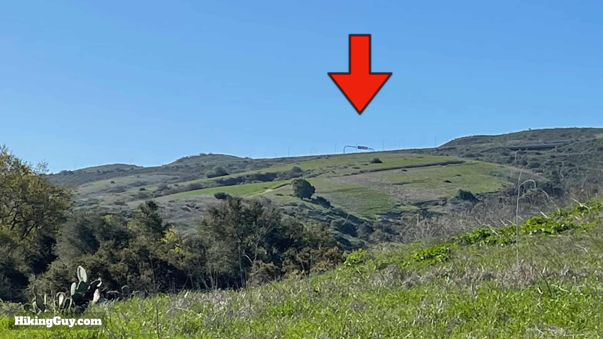
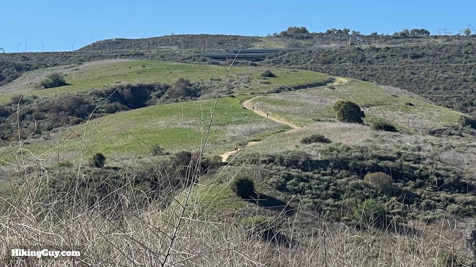
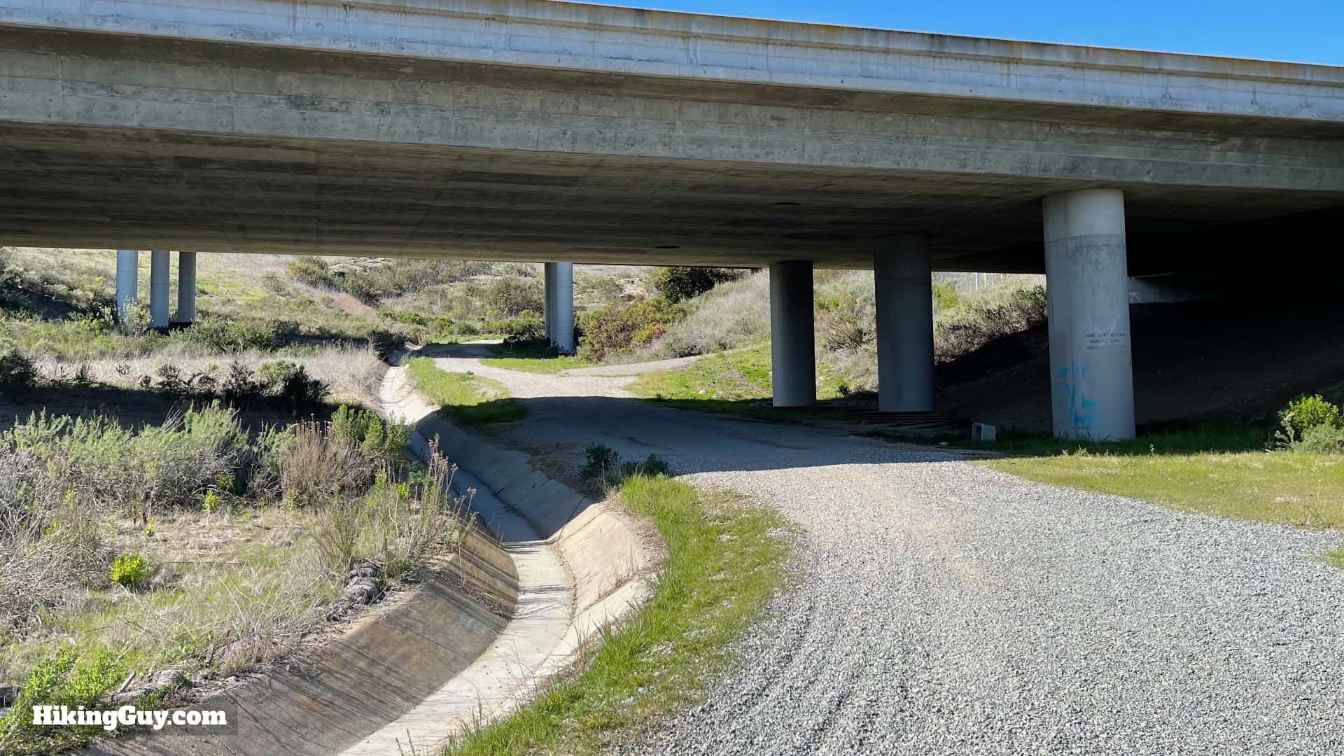
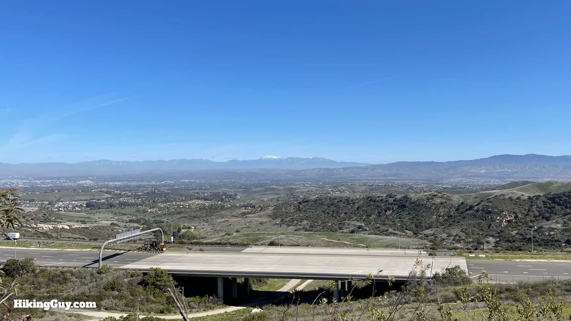
- You'll be hiking through the San Joaquin Hills, which were once underwater, but have now been pushed up from tectonic action. When the 73 Toll Road was built (which you see at the end of the hike), they actually unearthed 5 million year old fossilized whales.
- Bommer Canyon was part of a Mexican land grant. When the Americans took over, the Irvine family eventually acquired it.
- Bommer Canyon became the center of the Irvine cattle ranching operations, called "Bommer Canyon Cattle Camp." Every spring all the cattle that roamed over what is now the greater Irvine area were gathered here in a roundup. The cattle camp remained in operation for almost 100 years (1870s-1970) until the Irvine family realized that there's more money in real estate than cows.
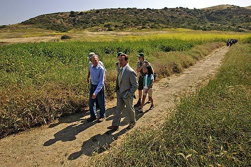
- The entire Irvine Ranch area became a National Natural Landmark in 2006, and then the first California National Landmark in 2008, when Arnold Schwarzenegger hiked here as part of the designation ceremony. The Natural Landmarks Program "recognizes the conservation of sites that contain outstanding biological and geological resources."
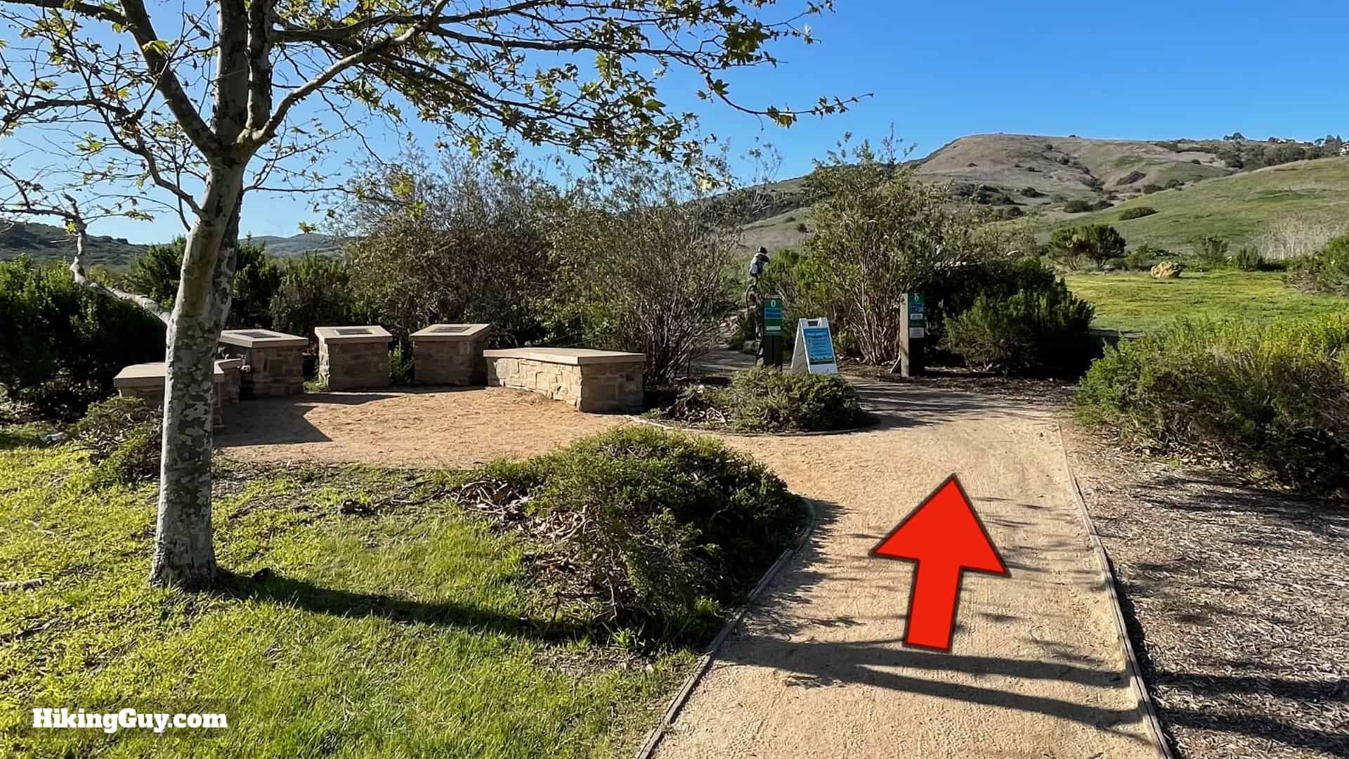
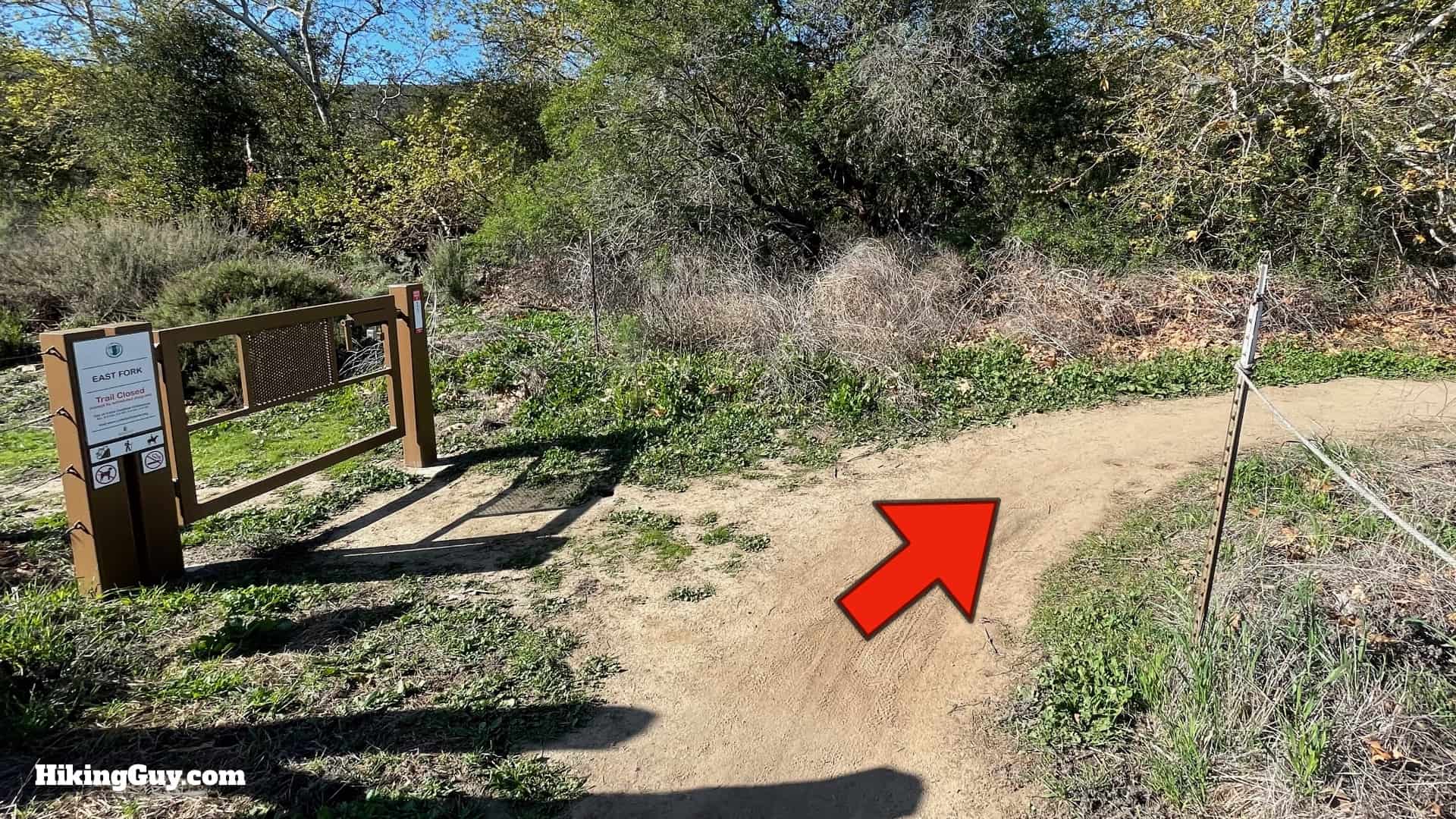
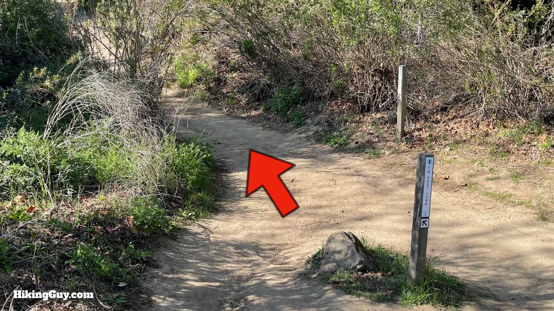
Bommer Canyon Hike Directions


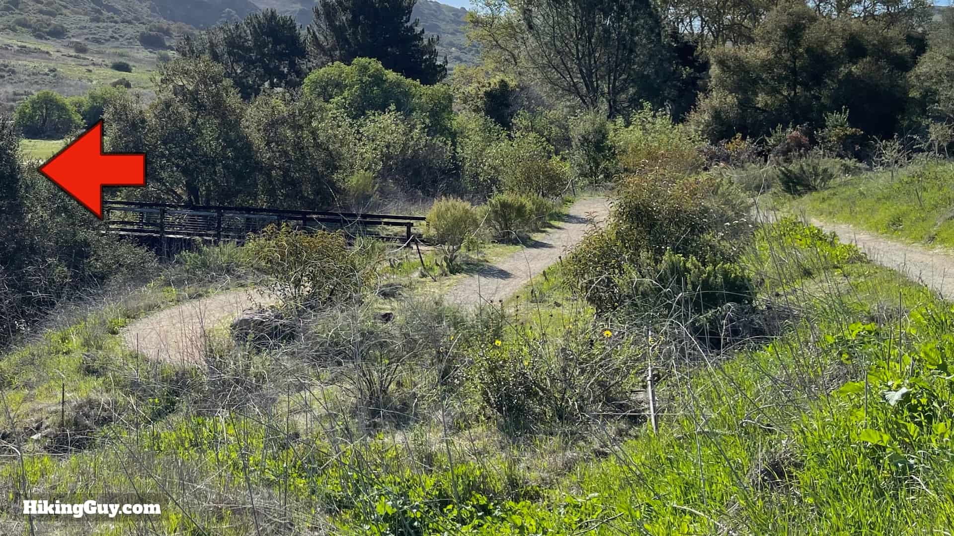

If you are doing the shorter 2 mile hike, simply go back the way you came from here.


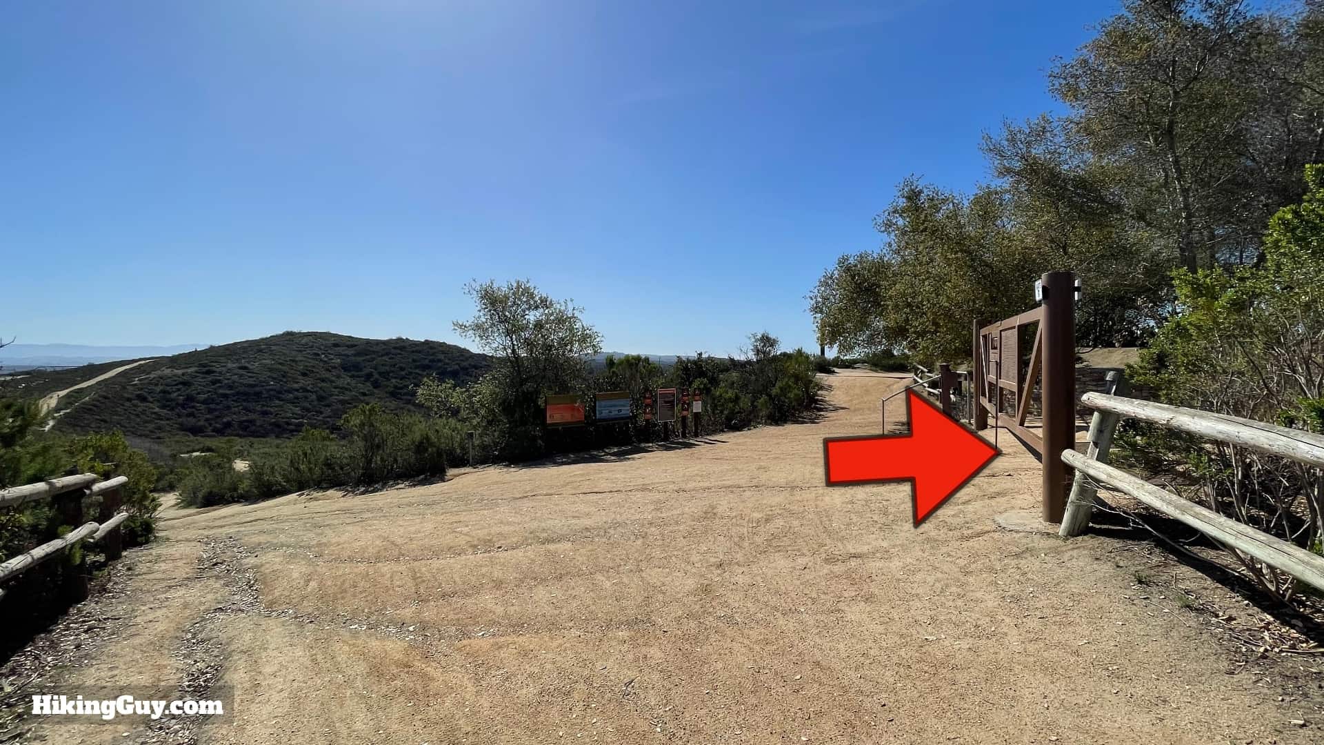
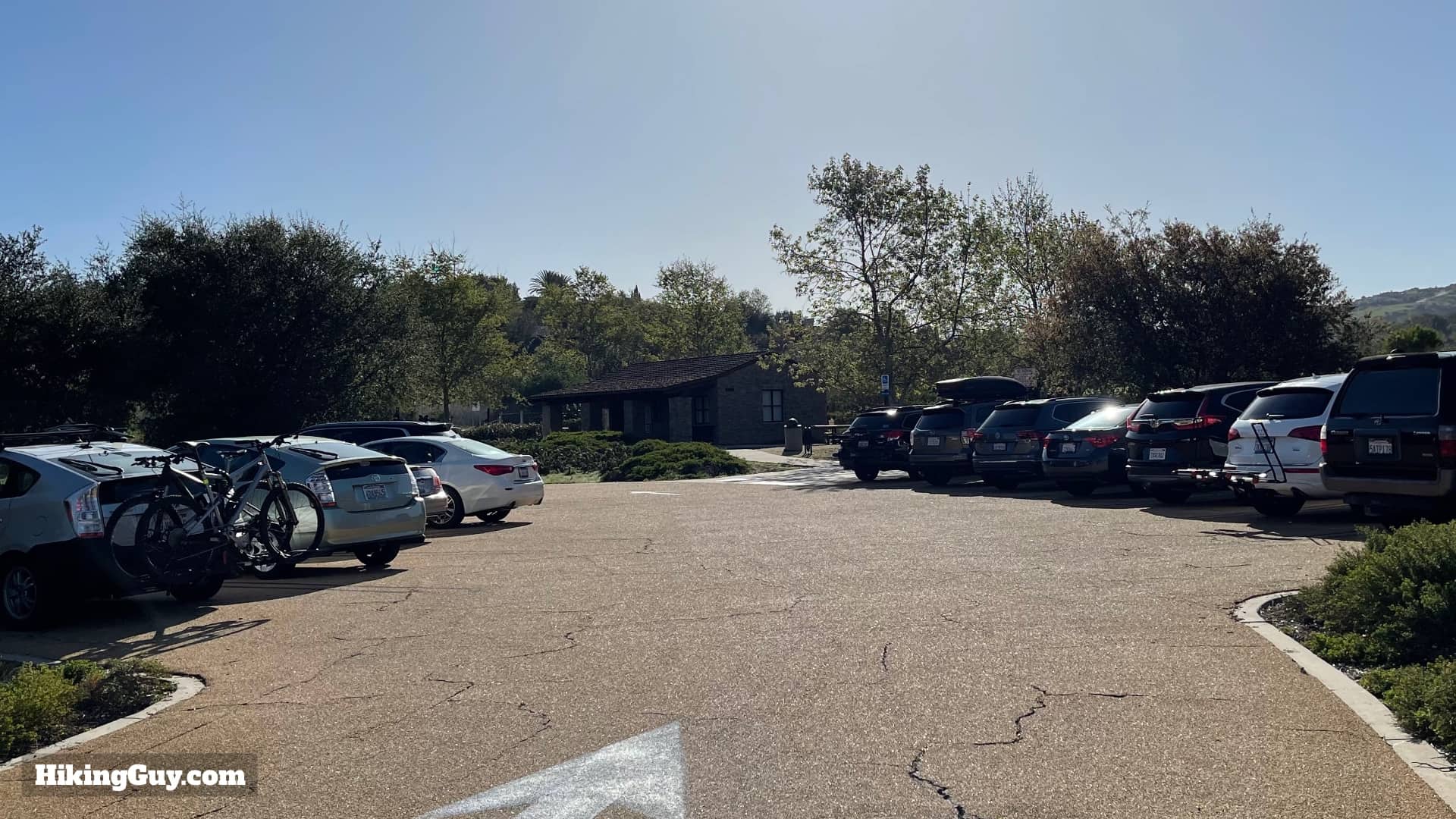
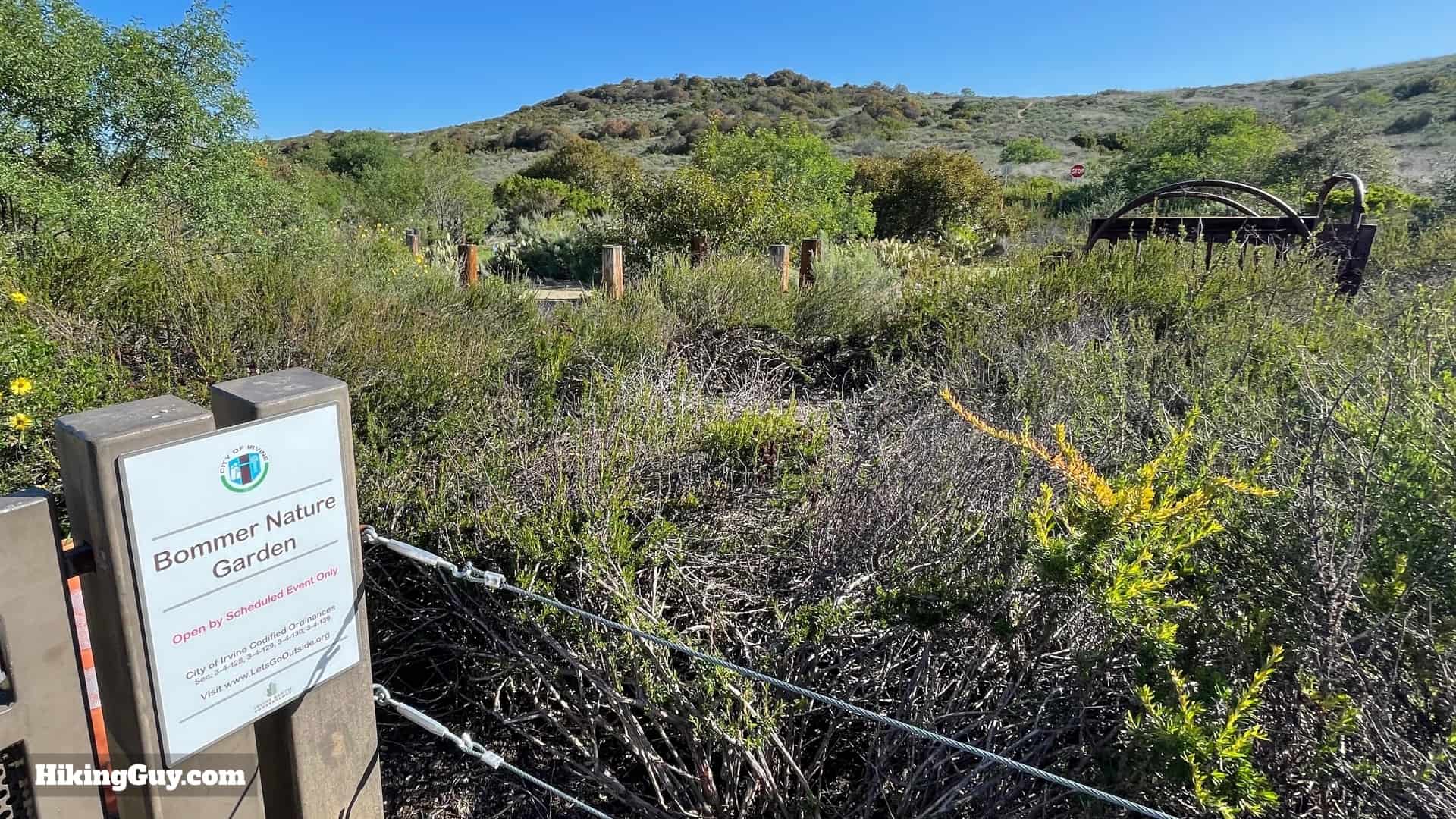
From here you just return the same way you came up. If you need water or a bathroom, just visit the park across the street. This trailhead is popular spot for local to access Crystal Cove State Park, as there's no entry fees or PCH traffic.