

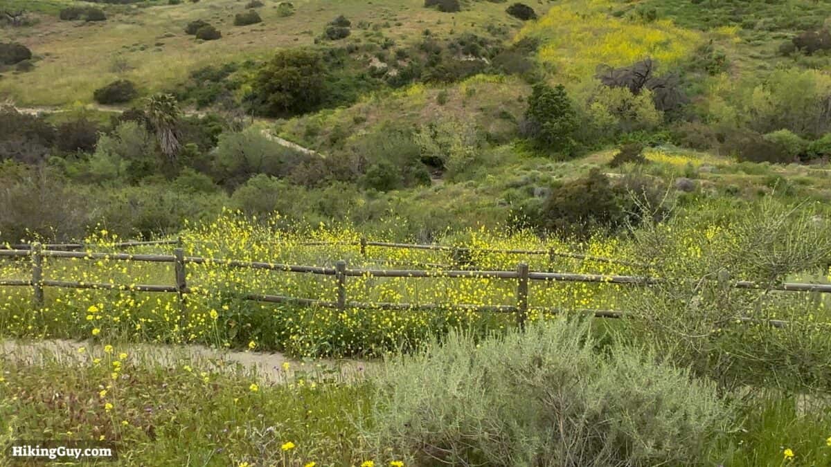
The Weir Canyon Trail hike is tucked into Orange County suburbia, but once you step onto the trail, you will feel like you are miles away. The best time to visit is when it's cooler in the spring; it becomes one of the best places to see wildflowers, including the California poppy. It's an excellent hike for beginners and those who want a quick escape.
- Video & Hike Directions for Weir Canyon Trail
- What You Need For the Hike
- Getting to the Trailhead
Where is Weir Canyon Trail?
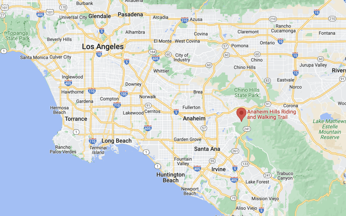
Don't just search for the Weir Canyon Trail on your maps app because there are multiple trailheads. We will start from a specific trailhead of the Santiago Oaks Regional Park. Use this trailhead address:
6984 E Overlook Terrace, Anaheim, CA 92807
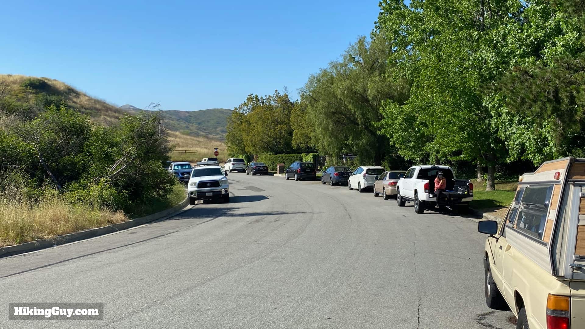
There are no bathrooms or water at the trailhead or on the hike.
Gear Recommendations
This is a straightforward hike on wide trails, but there are some ups and downs. If you have hiking shoes or boots, they will help, as will trekking poles. But plenty of people do the hike in fitness gear and you can too. In the summer it gets really hot here, and there is no tree cover. Bring at least 1L of water.
Gear That I Love Right Now
Nothing is sponsored or promoted, just the actual gear that I use.


Check out the complete list here. ( Updated October 2024)
Weir Canyon Trail Maps
How Will You Navigate?
 Using the Apple Watch for Hiking
 Garmin Fenix 7 & Epix Review For Hikers
 How To Read a Topographic Map
 Garmin GPSMAP 67i Review
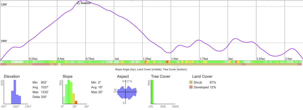
Elevation Profile
3D Map
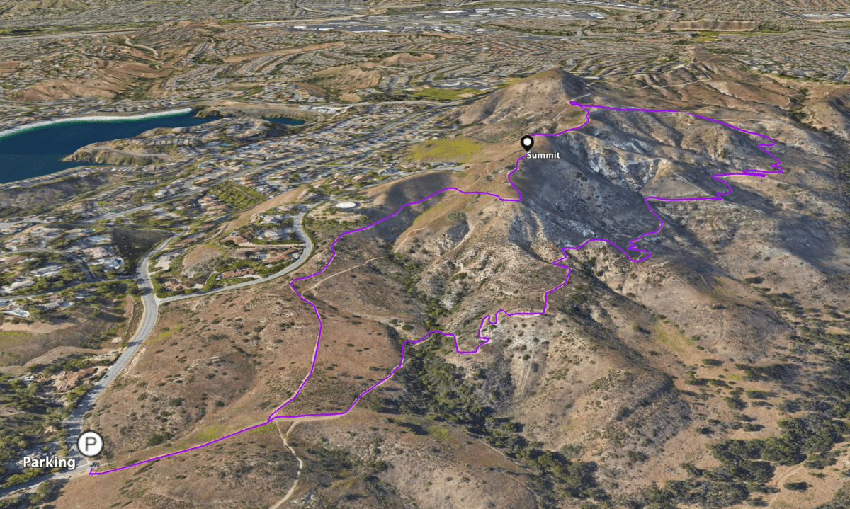
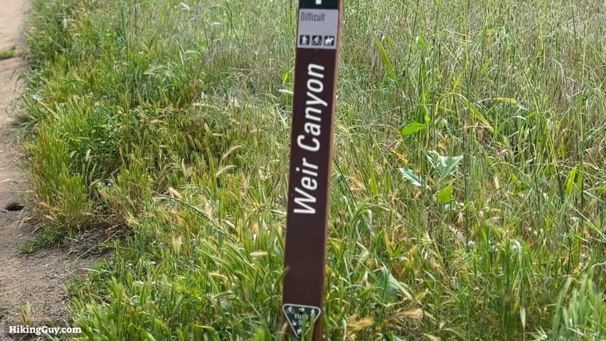
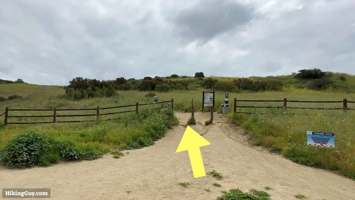
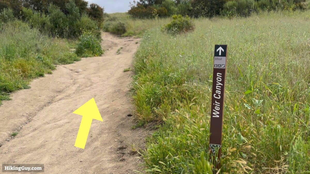
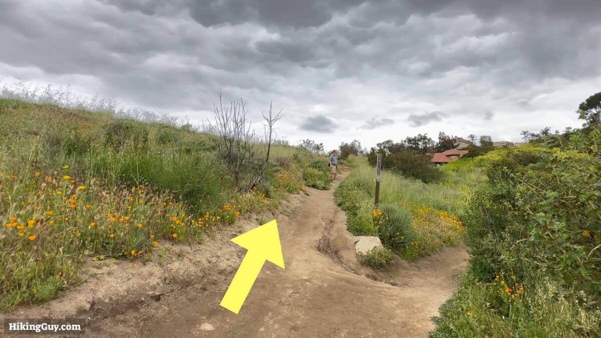
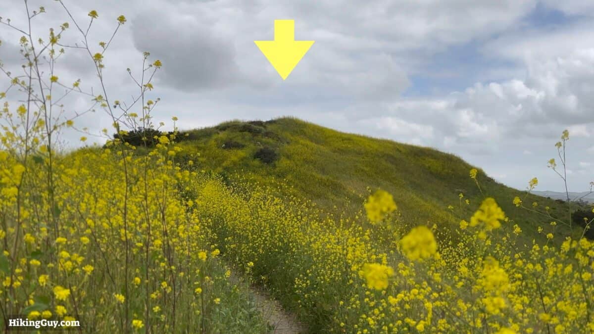
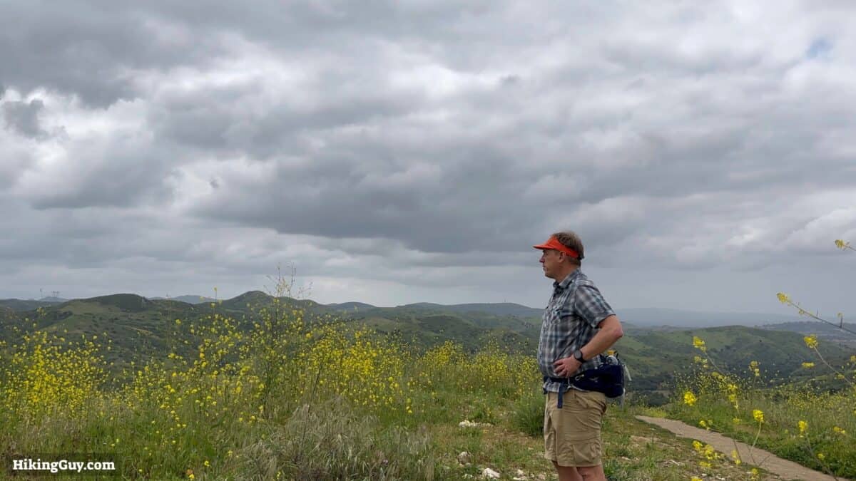
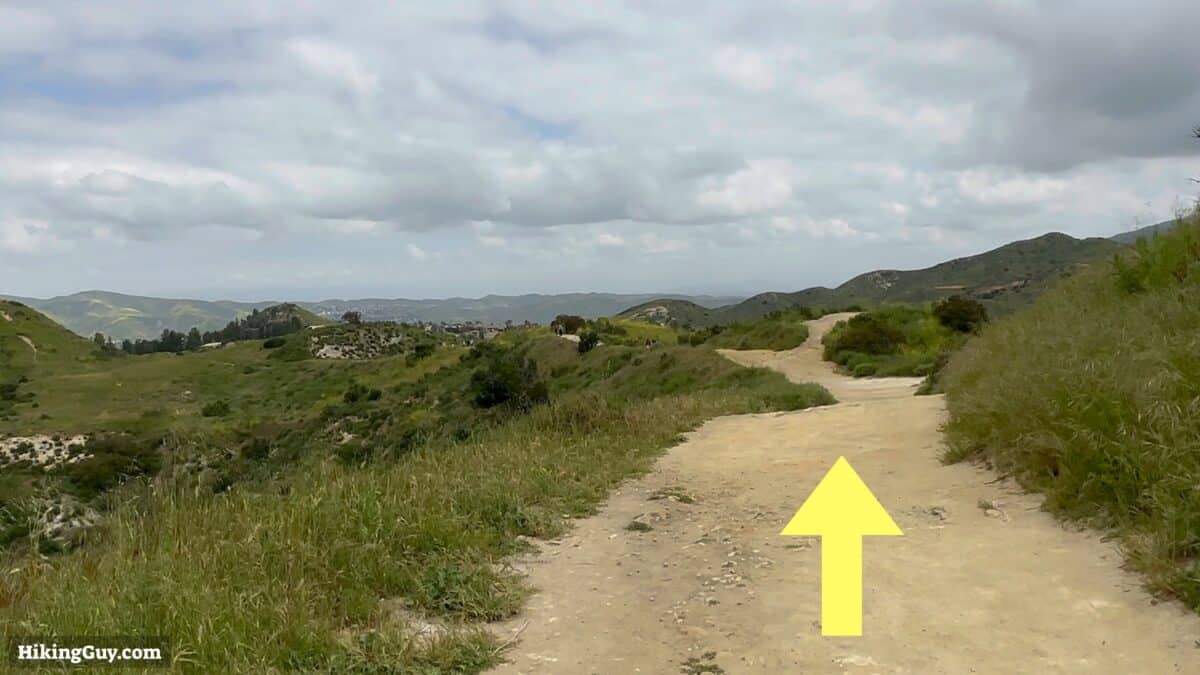
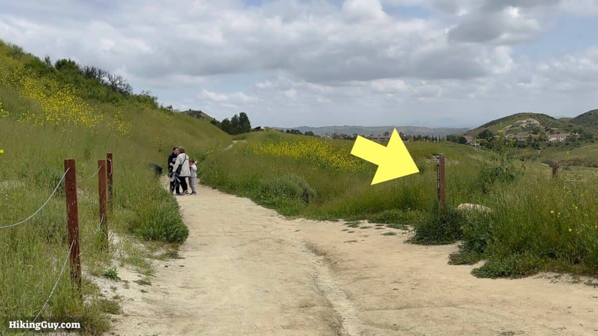
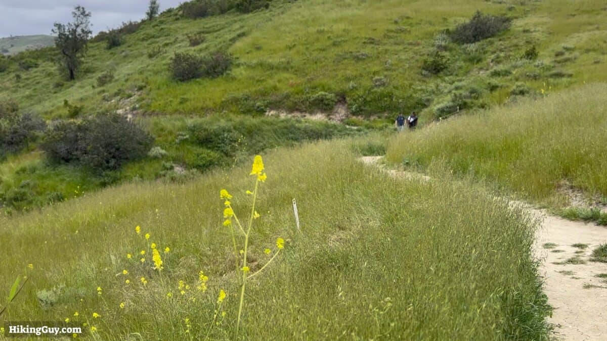
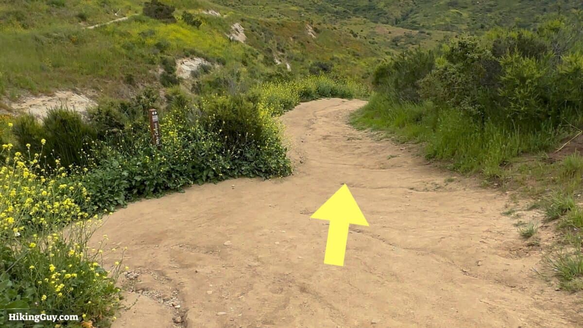
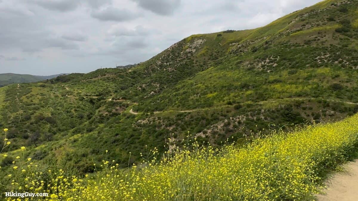
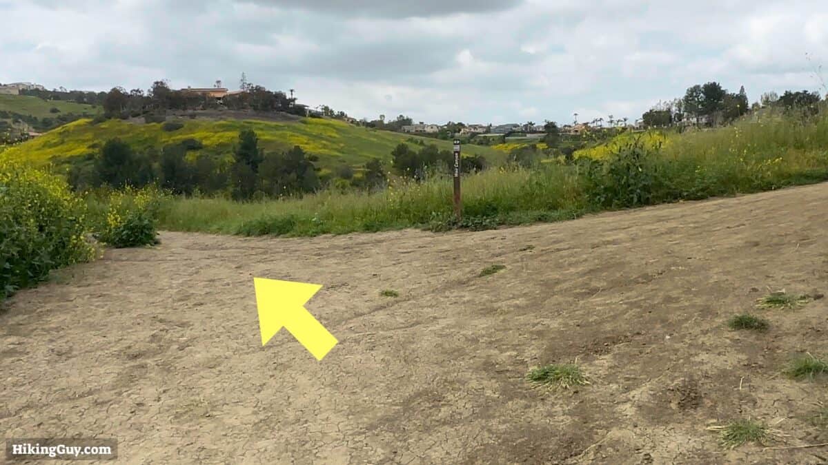
Weir Canyon Hike Directions
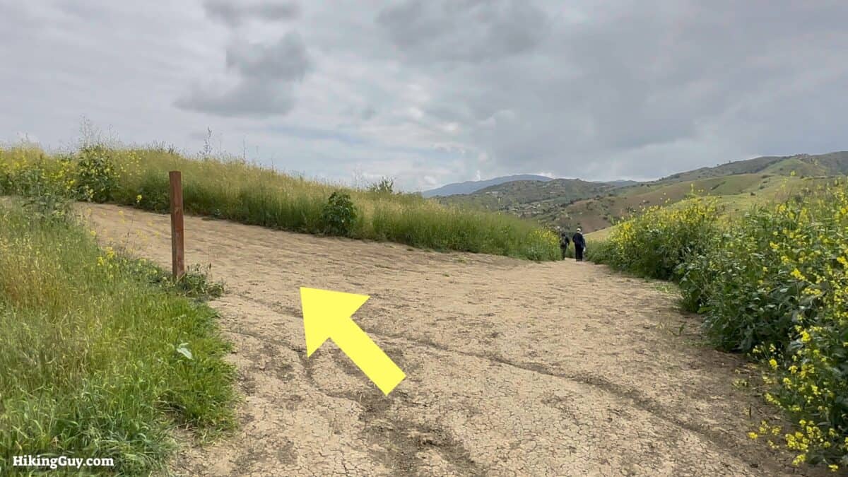
If you want a shorter, 1.5 mile hike, you can turn around and go back the way you came from here. Otherwise, continue.
Need More Info?
- Have a question about the guide? Join my Patreon and ask me a question.
- When planning, always check the park website and social media to make sure the trails are open. Similarly, check the weather and road conditions.
- Do you have an update to this guide? View the Youtube comments for this video. Leave a comment and I will do my best to update the guide.
Related Guides
 How to Hike Black Star Canyon Falls
 Peters Canyon Hike
 Whiting Ranch Hiking: Red Rock Canyon
 Hikes In and Around Orange County
Popular Guides
 Best Hiking Gear 2024
 Hiking Boots or Shoes: Do I Really Need Hiking Boots?
 When to Hit SOS on inReach
This Guide Was Written by Cris Hazzard

Hi, I'm Cris Hazzard, aka Hiking Guy, a professional outdoors guide, hiking expert, and author based in Southern California. I created this website to share all the great hikes I do with everyone else out there. This site is different because it gives detailed directions that even the beginning hiker can follow. I also share what hiking gear works and doesn't so you don't waste money. I don't do sponsored or promoted content; I share only the gear recommendations, hikes, and tips that I would with my family and friends. If you like the website and YouTube channel, please support these free guides (I couldn't do it without folks like you!). You can stay up to date with my new guides by following me on YouTube, Instagram, or by subscribing to my monthly newsletter.