Eagle Rock Hike on the PCT (San Diego)
Hike Stats
- Total Distance
- 6.5 miles
- Time
- 2:30-3:30 Hours
- Total Climbing
- 990 feet
- Difficulty
- Easy
- Crowds
- Quiet
- Dogs
- Leashed
- Gear
- What I Use
- Weather
- Latest Report
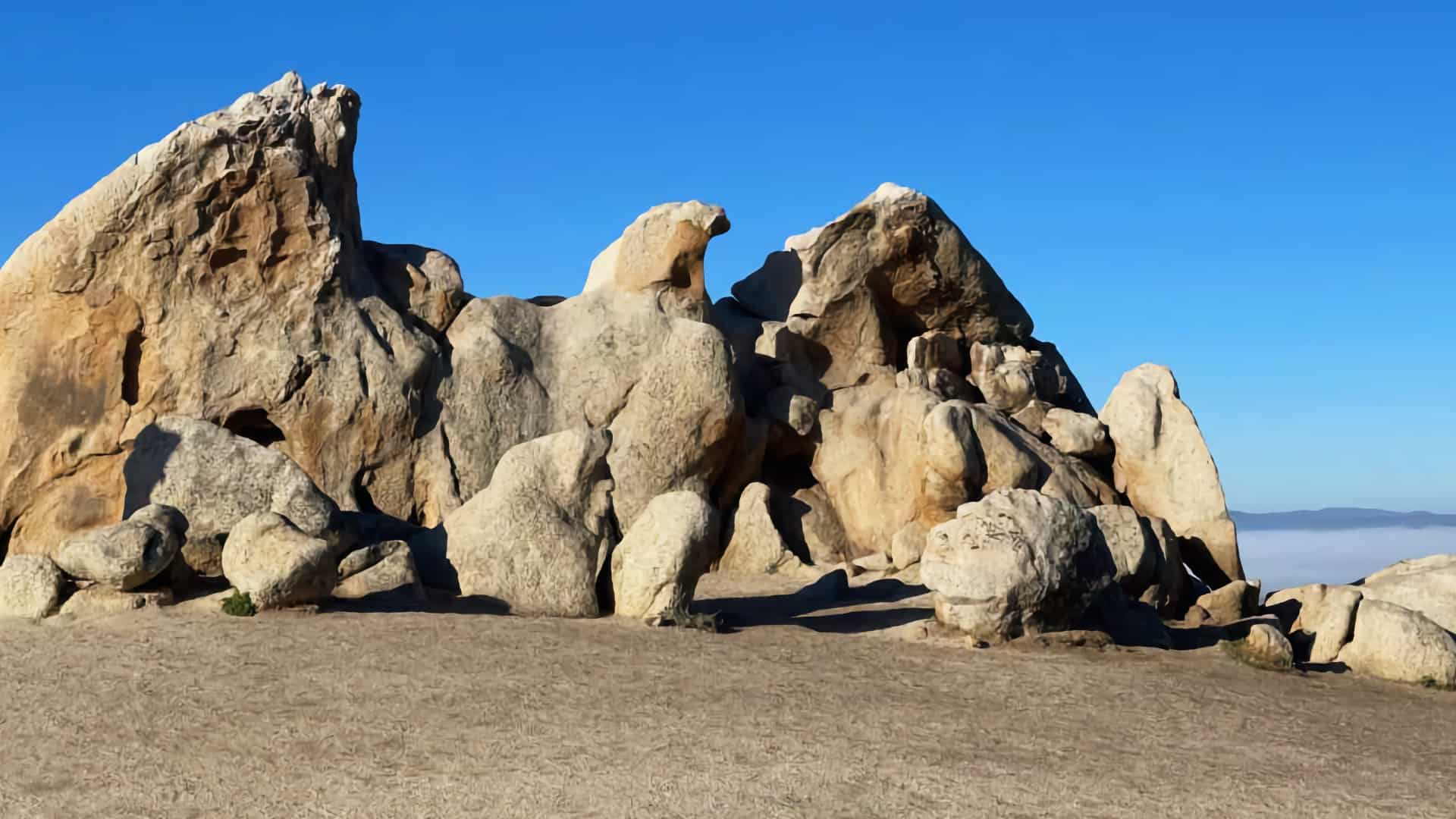
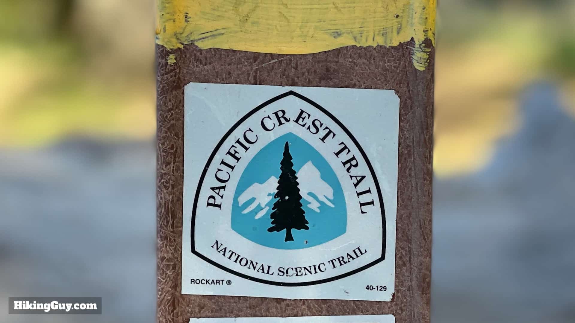
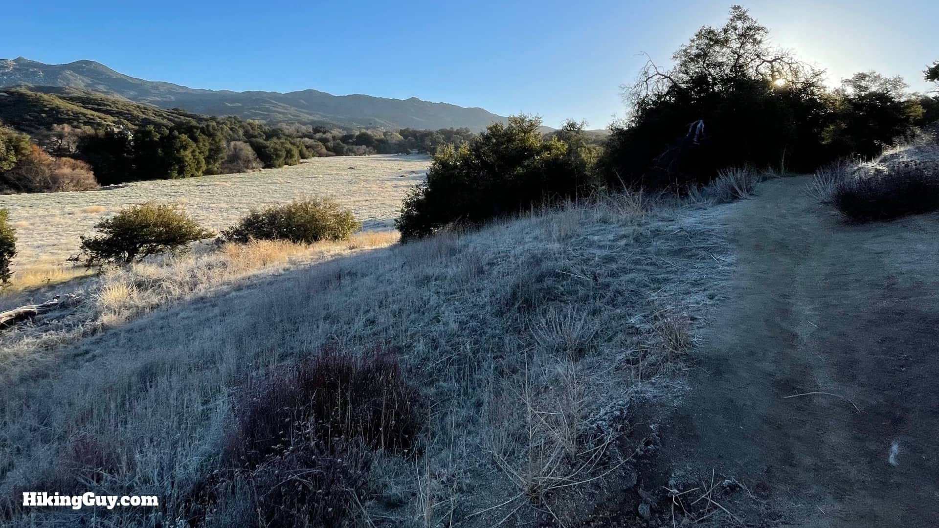
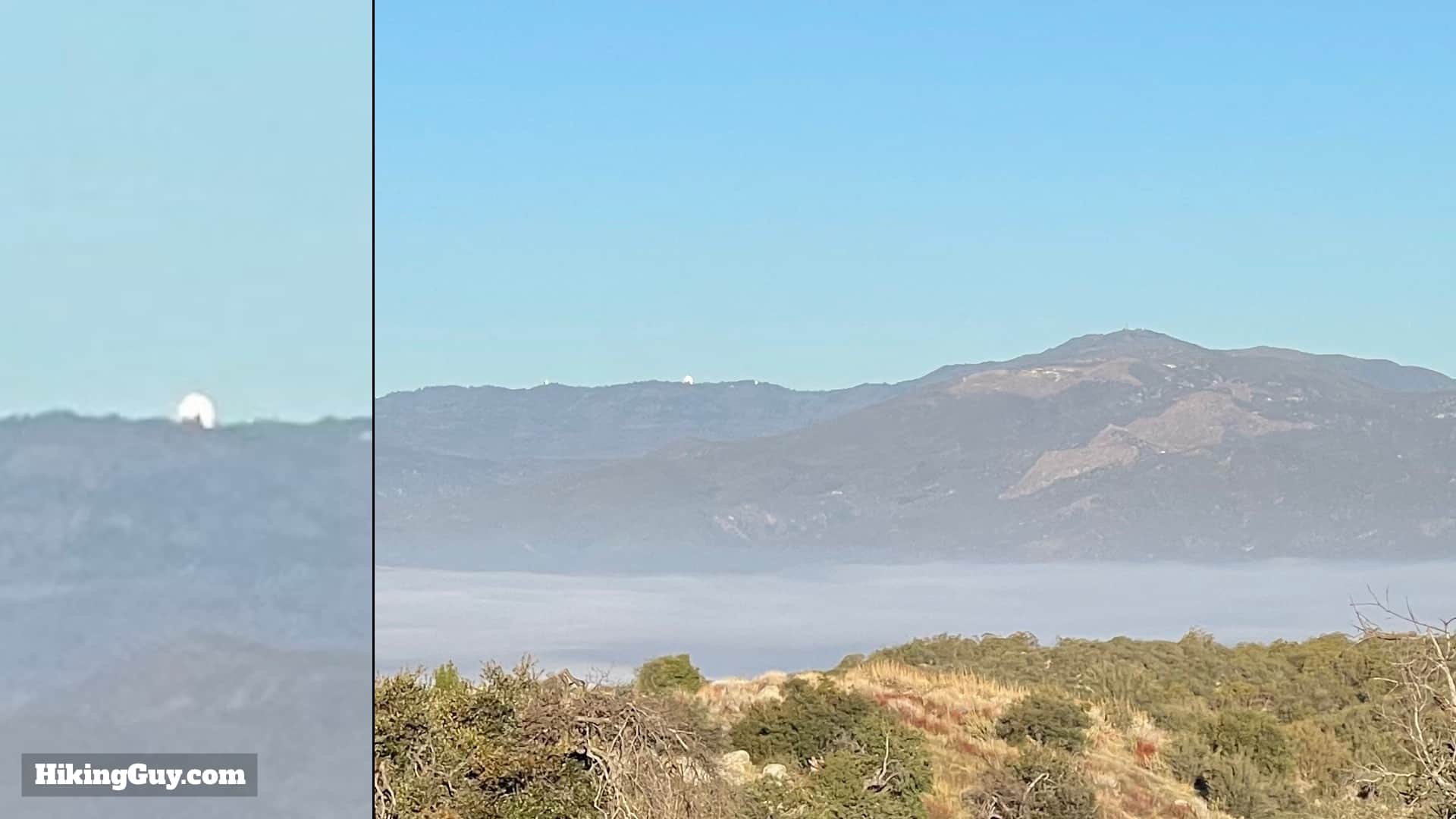
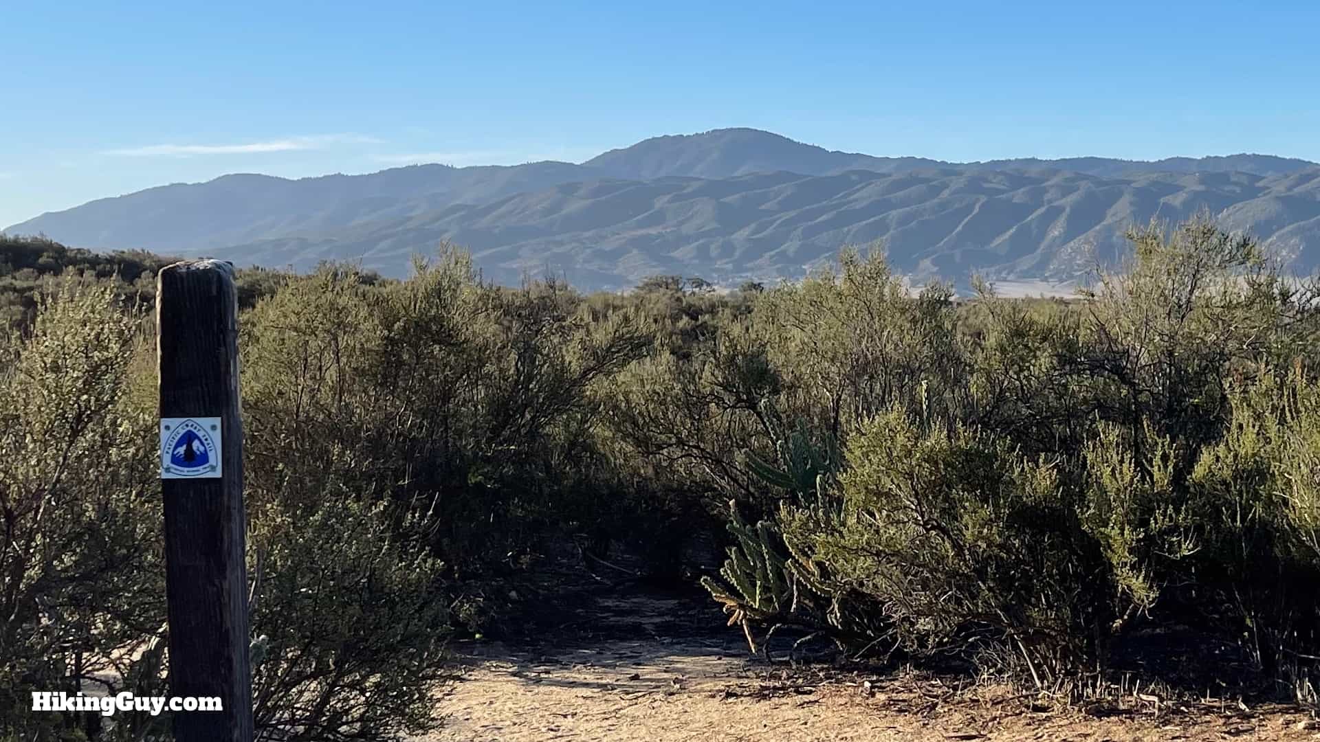
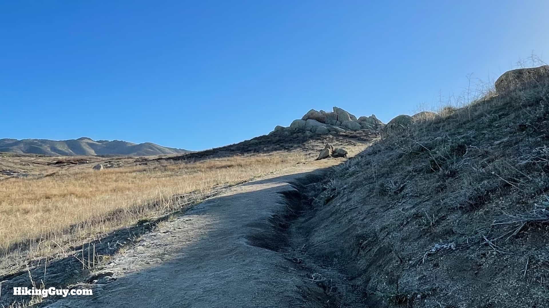
The Eagle Rock hike, near San Diego in Warner Springs, is an easy adventure on the legendary PCT (Pacific Crest Trail). You'll meander up a babbling brook in the shade of oaks, and then cross grasslands offering views of San Diego County's high points. At the end, you are treated to Eagle Rock, perched on a hillside and overlooking this remote area. Overall Eagle Rock is a great hike with lots of payoff for not much effort.
Where is the Eagle Rock Hike?
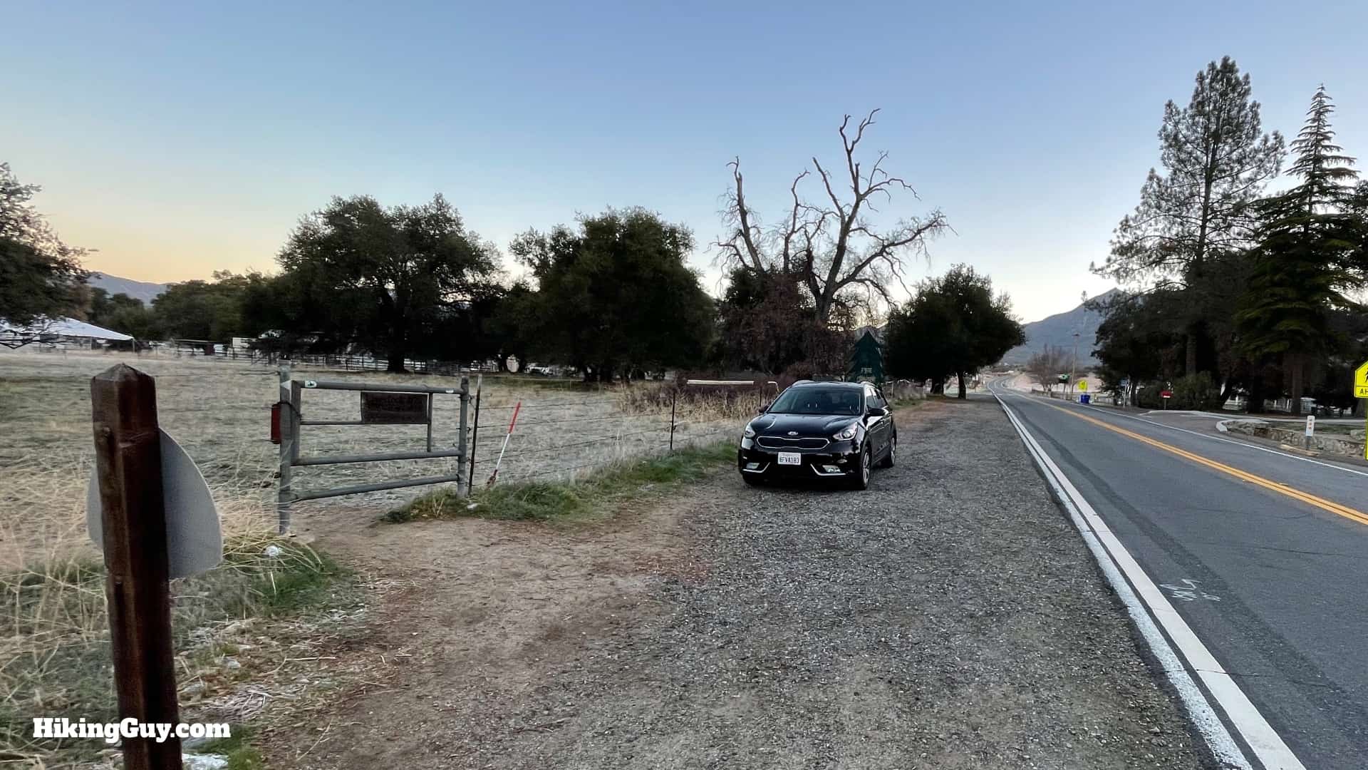
First of all, there are dozens of Eagle Rocks, with a few being in Southern California, so make sure you are going to the one in Warner Springs, CA. Warner Springs is pretty remote, and the services are limited. Use this trailhead address:
31049 CA-79, Warner Springs, CA 92086
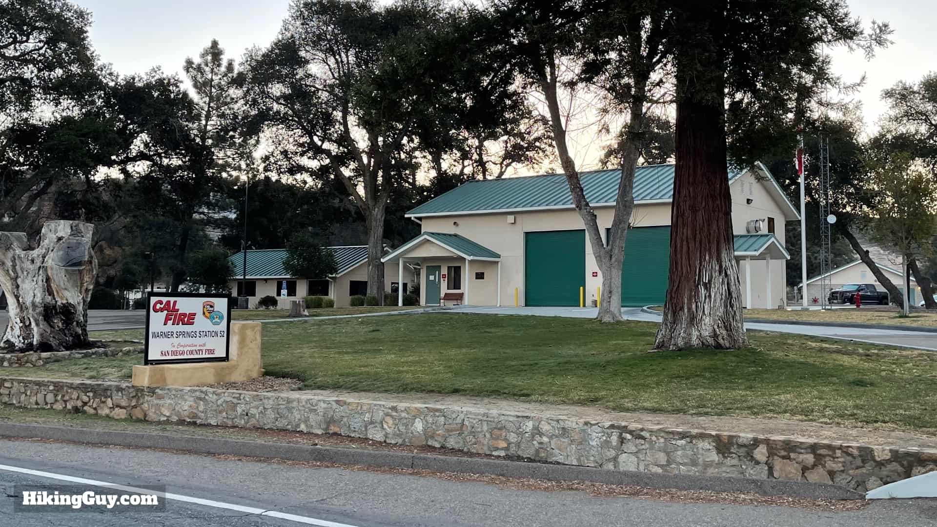
You are going to park across the street from the Cal Fire station on the side of the road. Don't park at the fire station or block their driveways. You might be saying "duh!" but after talking to some firefighters there, you'd be surprised at the dumb stuff that goes on with people parking.

There are no bathrooms at the trailhead or on the trail.
The land you are hiking on is mostly owned by the Vista Water District's Lake Henshaw area. It's not a public park, but you are permitted to hike here on the PCT.
Gear for the Hike
This is a mellow hike and there isn't too much that's technically challenging. In the summer, it can get hot and buggy, so prepare accordingly with insect repellant and at least 1L of water. And you might not realize it, but the trailhead is at over 3,000 feet, and it can get cold. On the day that I shot the photos for this guide, it was 25F when I started at the trailhead.
Essentials I’m Using Now
- Garmin inReach Mini 2: Reliable SOS Everywhere on Earth
- Sawyer + CNOC Water Filter: Easy & Reliable Safe Water
- Nitecore NU25 Headlamp: Running late? Get home safe
- Altra Olympus 275: Favorite trail shoes right now, no blisters and very comfy.
- AllTrails Plus (30% off): Offline maps on your phone with the Plus level
- Full December 2025 Gear List →
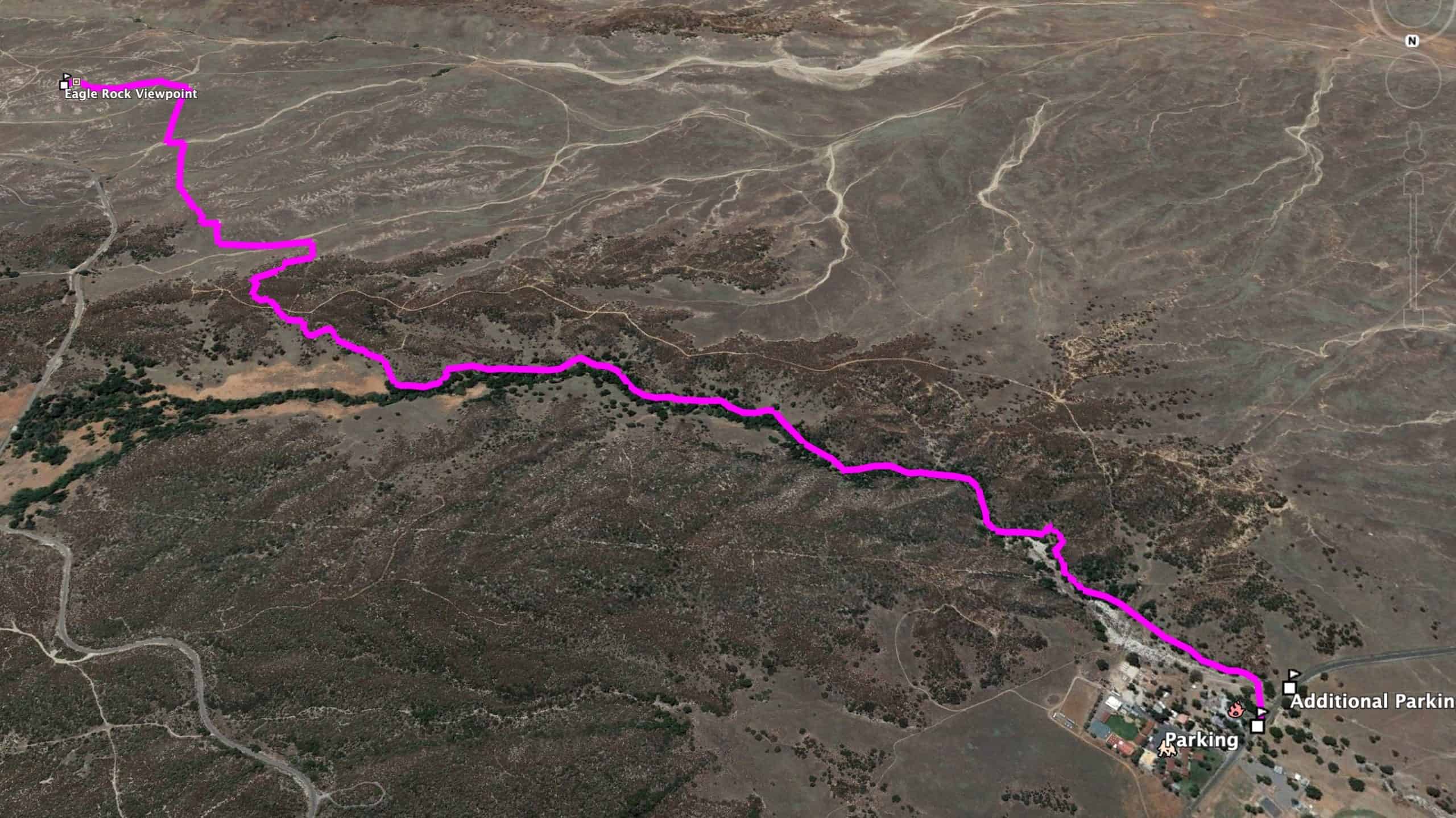
Eagle Rock via the PCT Trail Maps
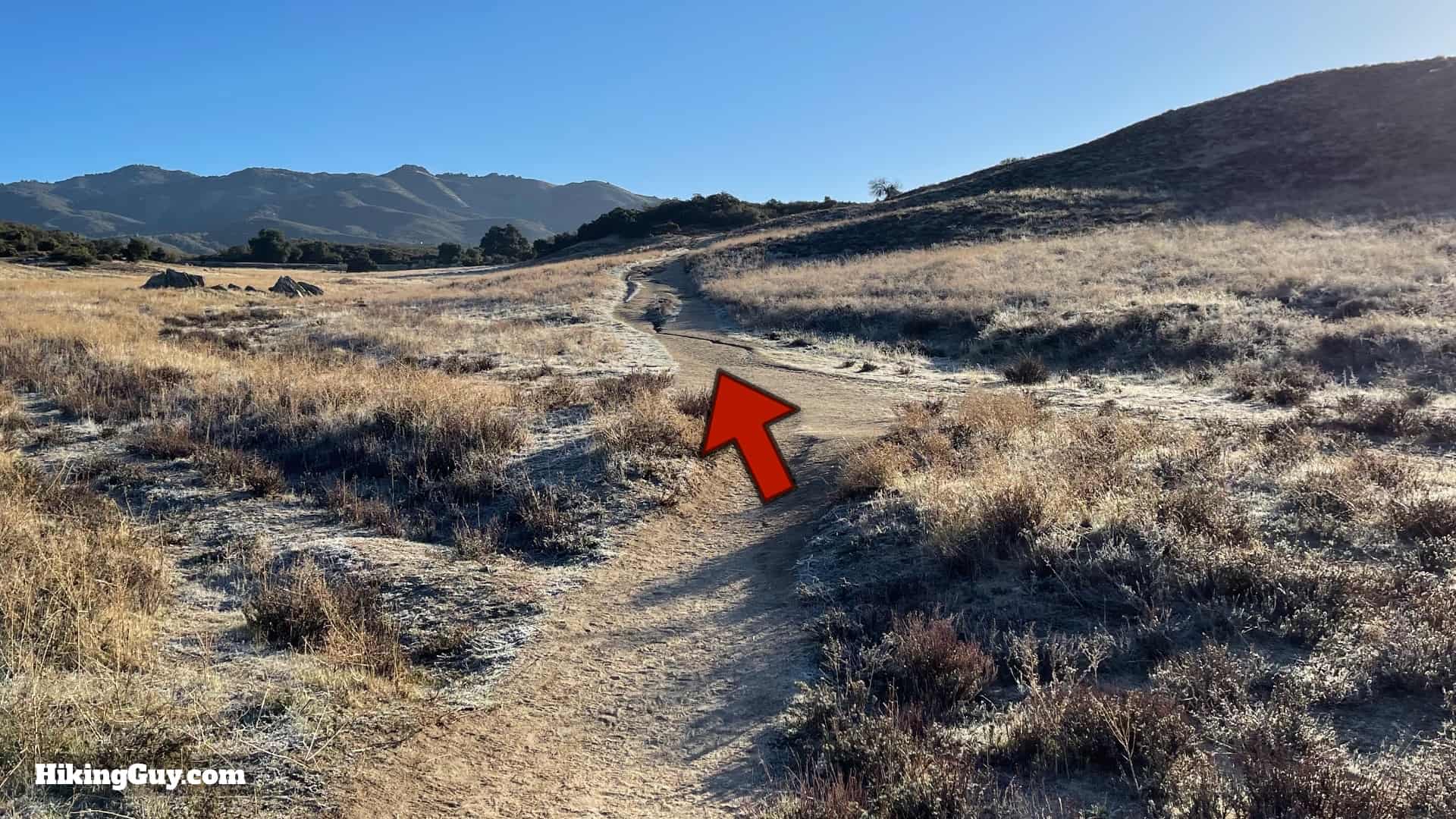
There's nothing too tricky about this hike. You start on the PCT and you end on the PCT. One thing you might notice is that the actual trail (as documented in the map and GPX file below) doesn't always fall nicely on the official trail line for the PCT. My guess is that the official trail line has been simplified and smoothed a bit.
Elevation Profile

3d Map
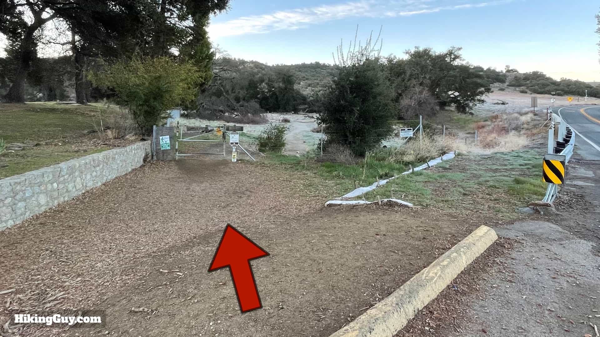
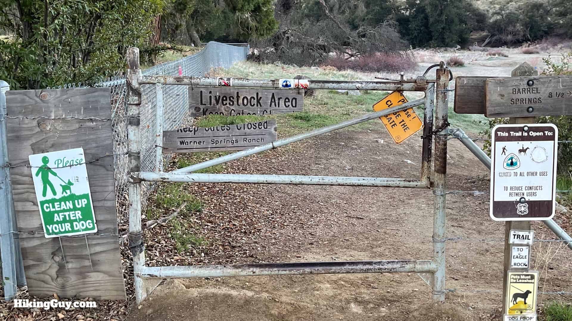
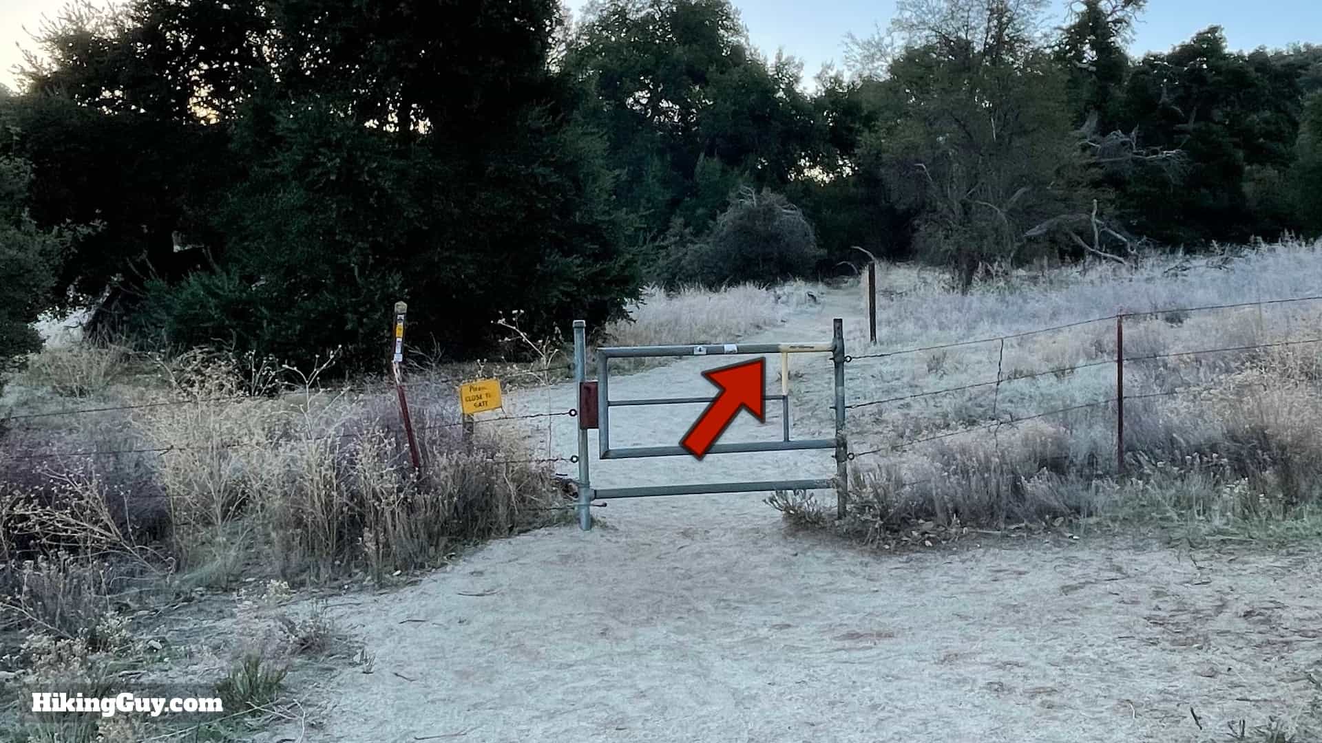
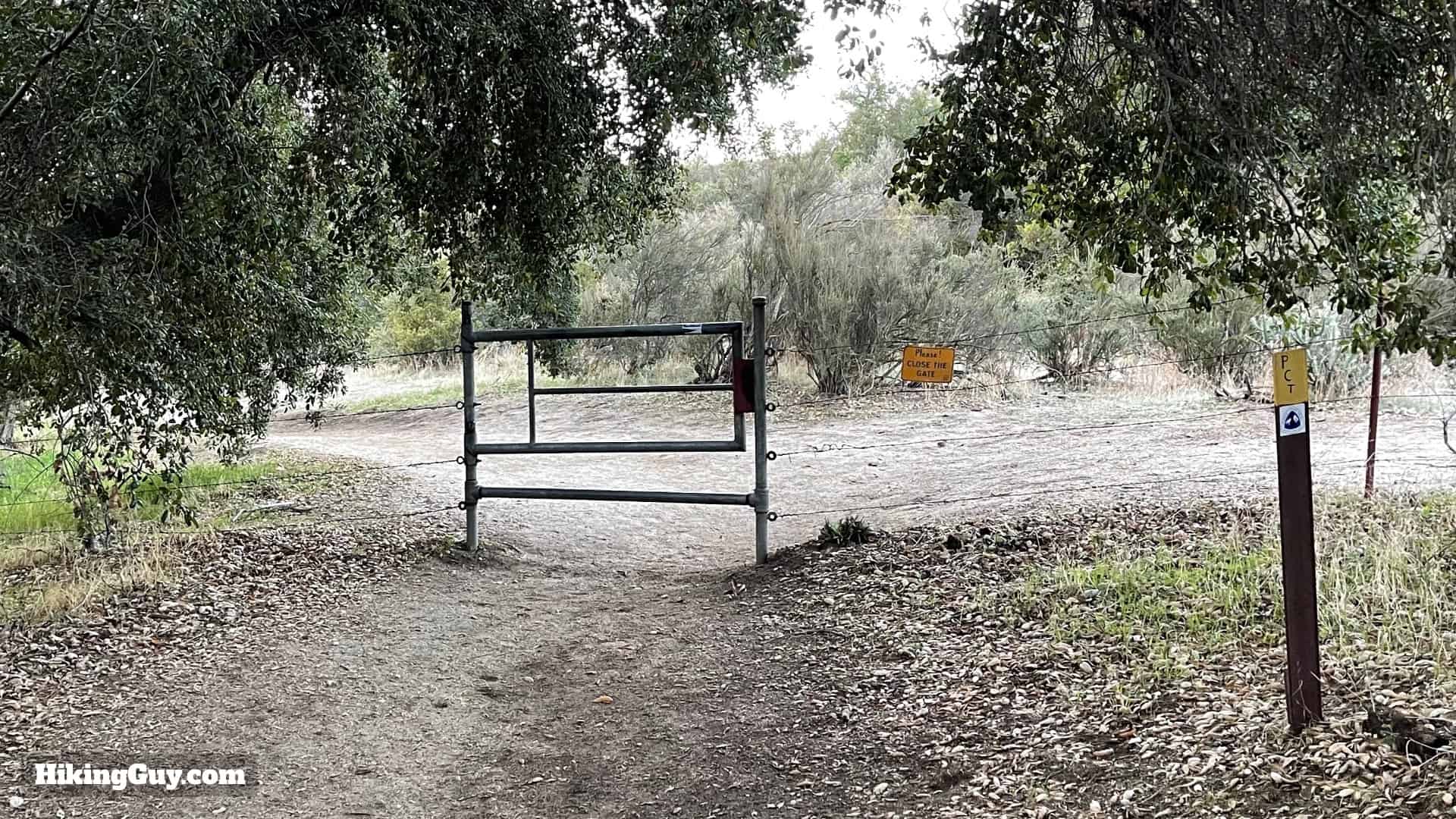
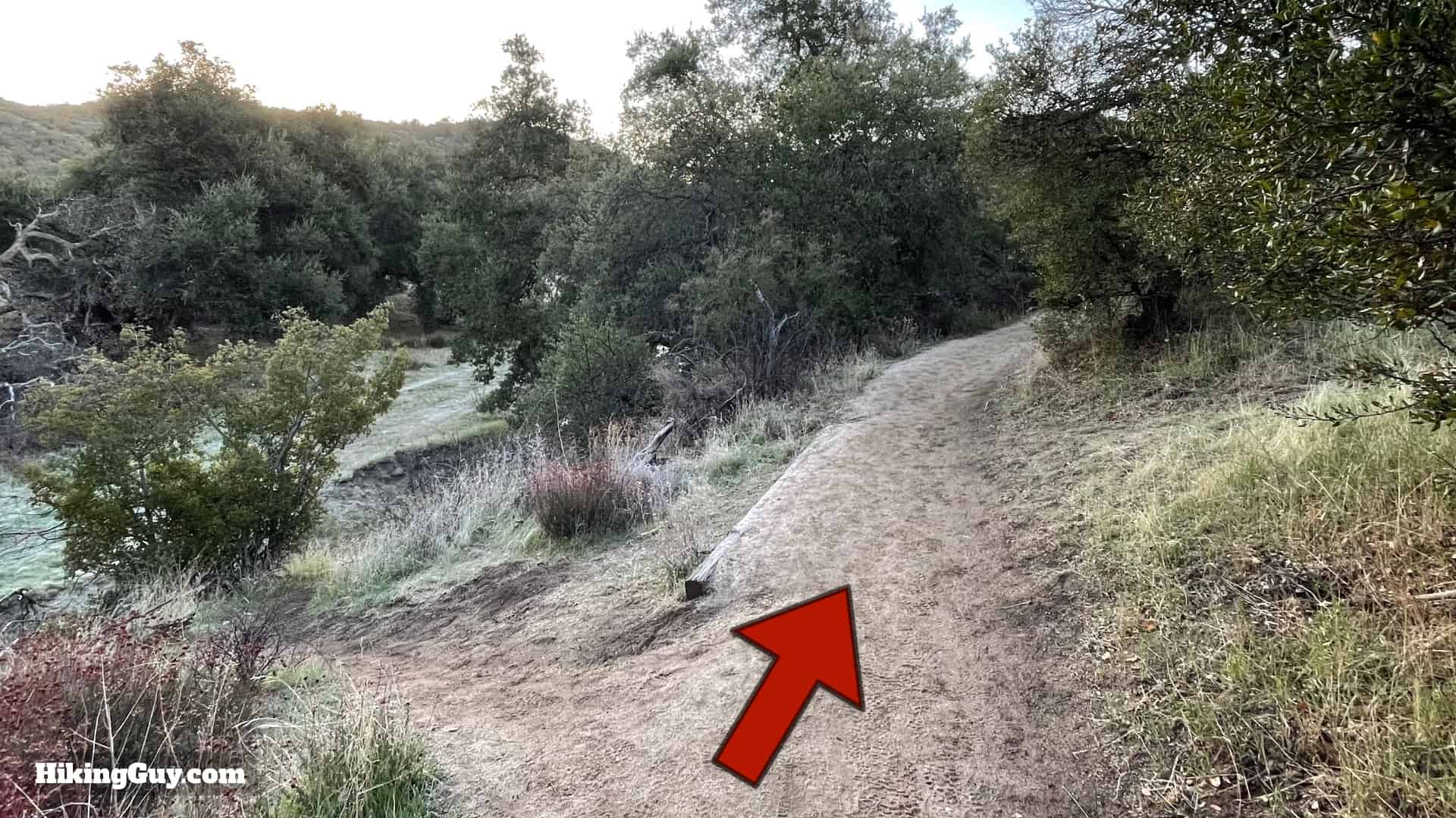
Eagle Rock (San Diego) Hike Directions
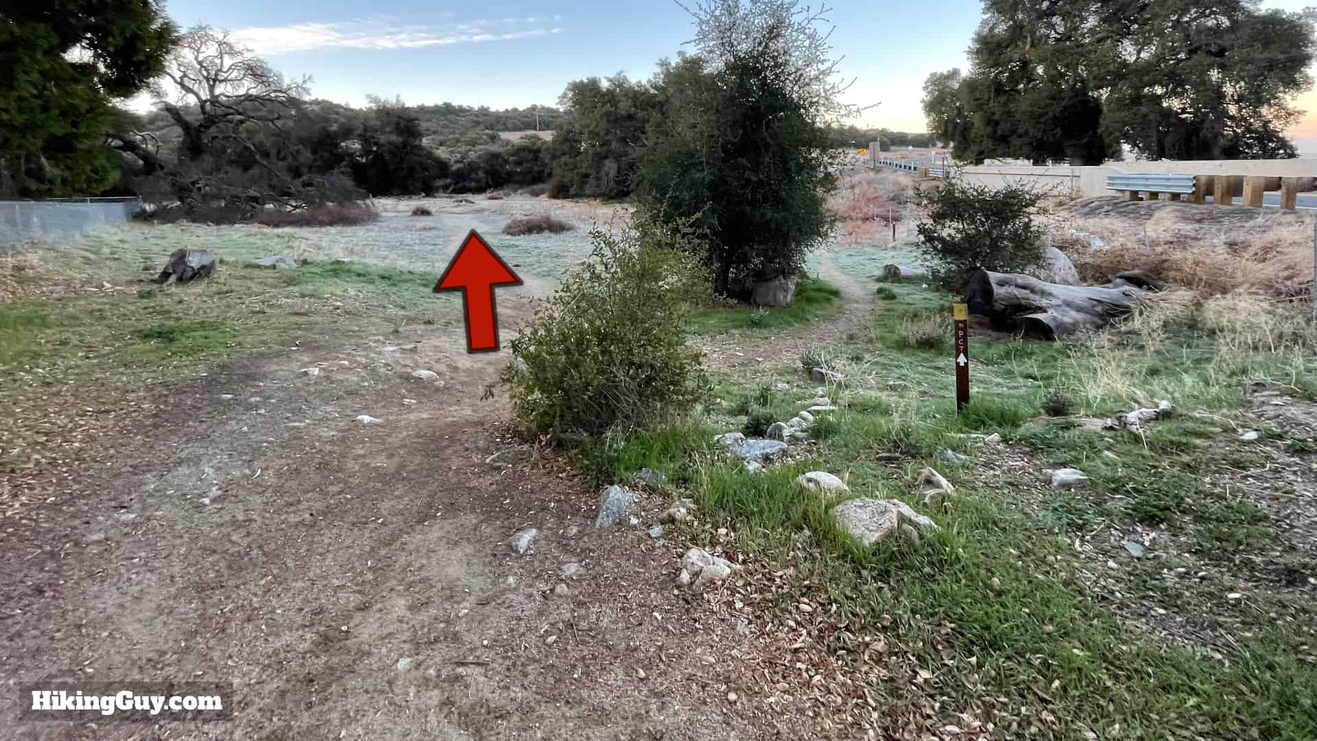
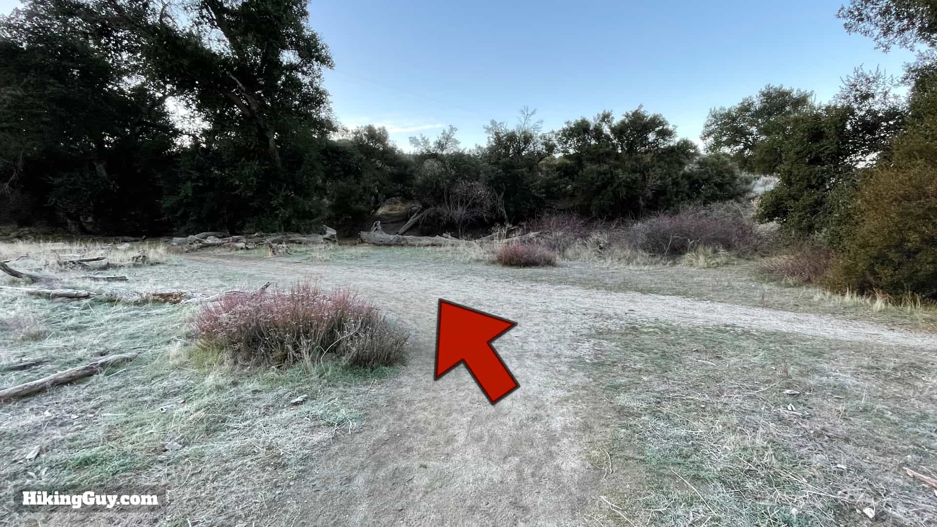

This area is a popular spot for PCT hikers to camp. The trail to the left in the last photo heads to the post office where PCT thru-hikers often resupply. If you want to learn more about the PCT, visit their website and watch the popular Darwin on the Trail videos documenting what hiking the whole thing is like.


Warner Springs has an interesting history. If that's your thing, read about it in my guide to the nearby Oak Grove Trail.


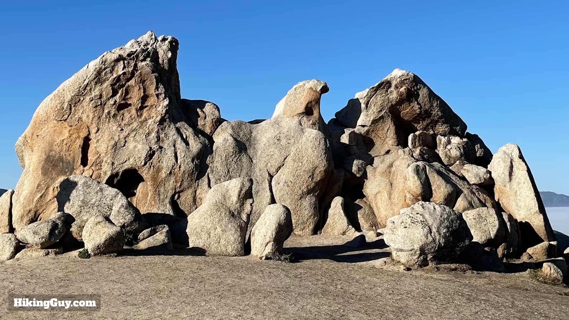
Please do not climb on Eagle Rock. The rock has cracks and at some point will break. Don't be the one makes the news because you destroyed this special place for a photo.
