Hike Cuyamaca Peak
Hike Stats
- Total Distance
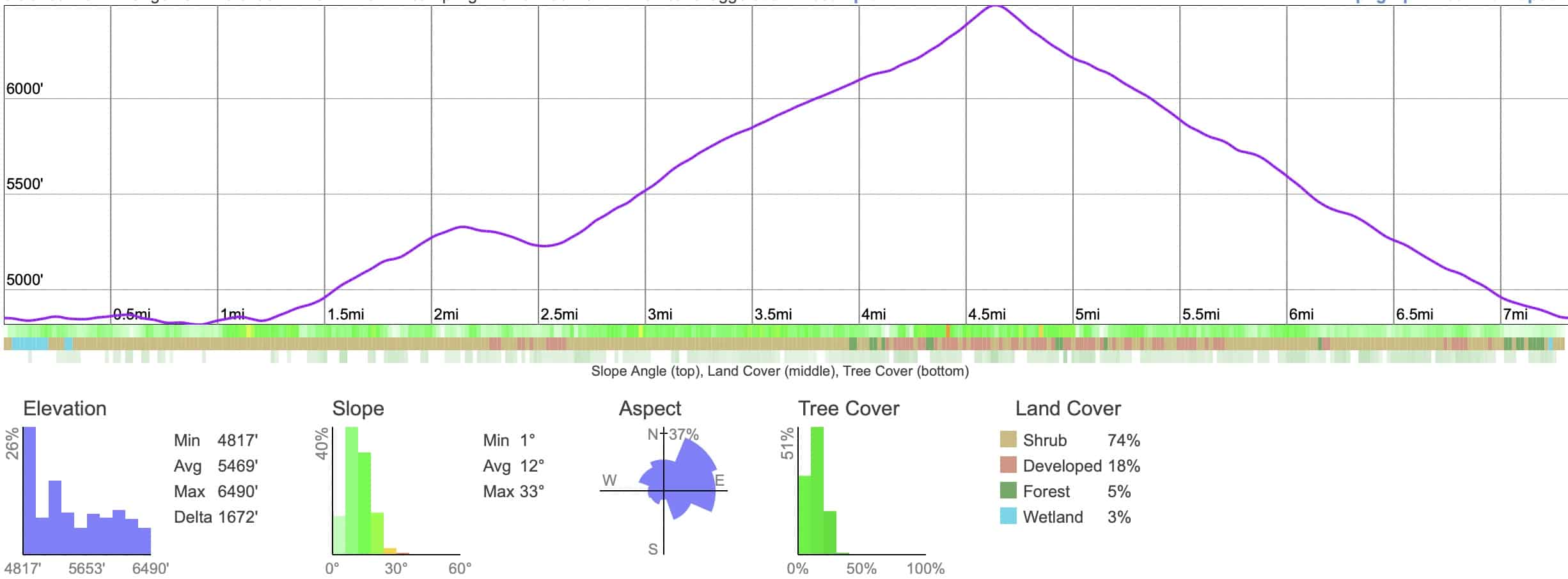
- 7.7 miles
- Time
- 3-4 Hours
- Total Climbing
- 1850 feet
- Difficulty
- Moderate
- Crowds
- Moderate
- Dogs
- No Dogs
- Gear
- What I Use
- Weather
- Latest Report
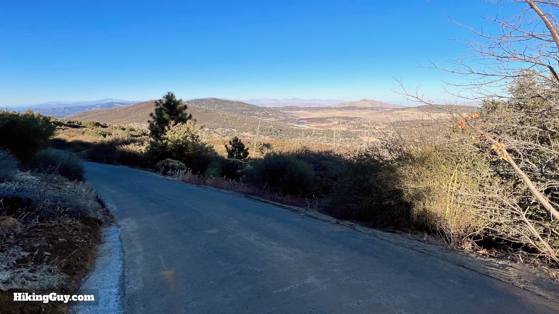
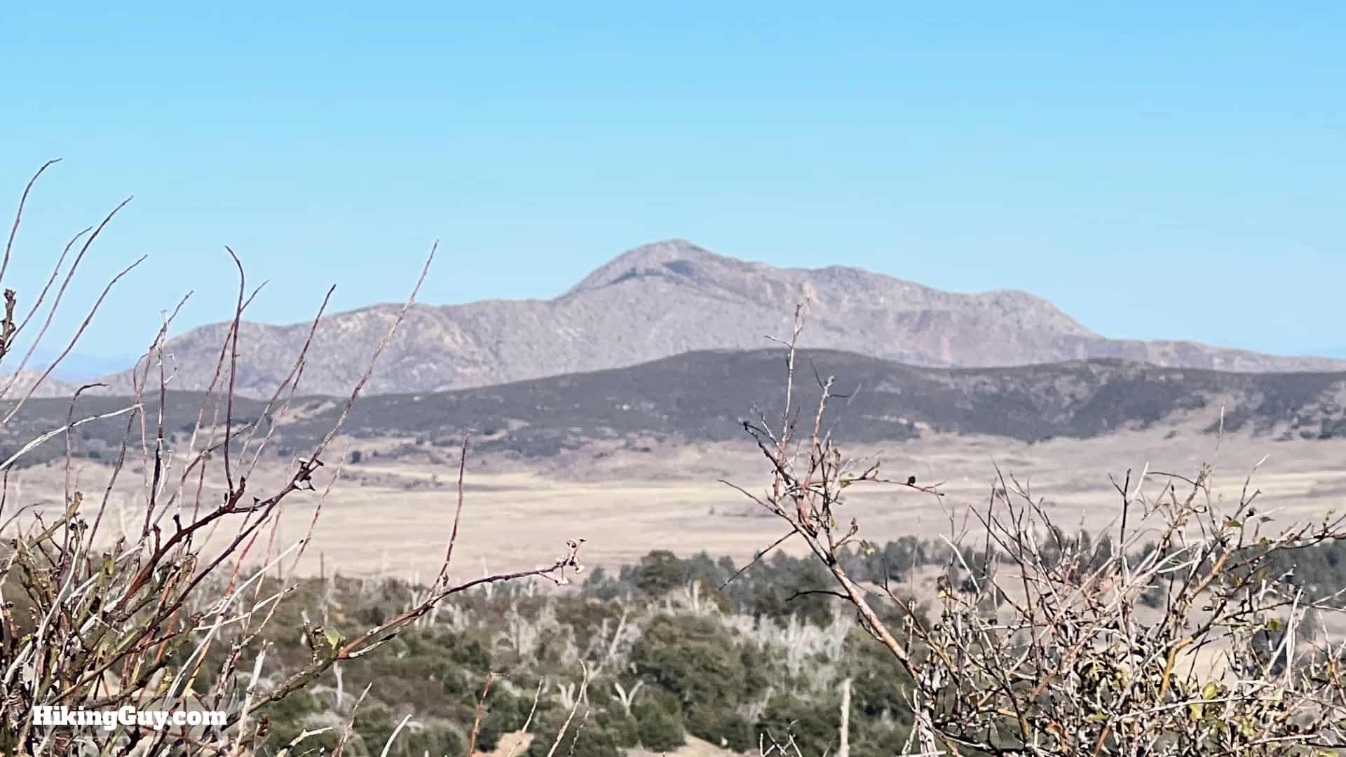
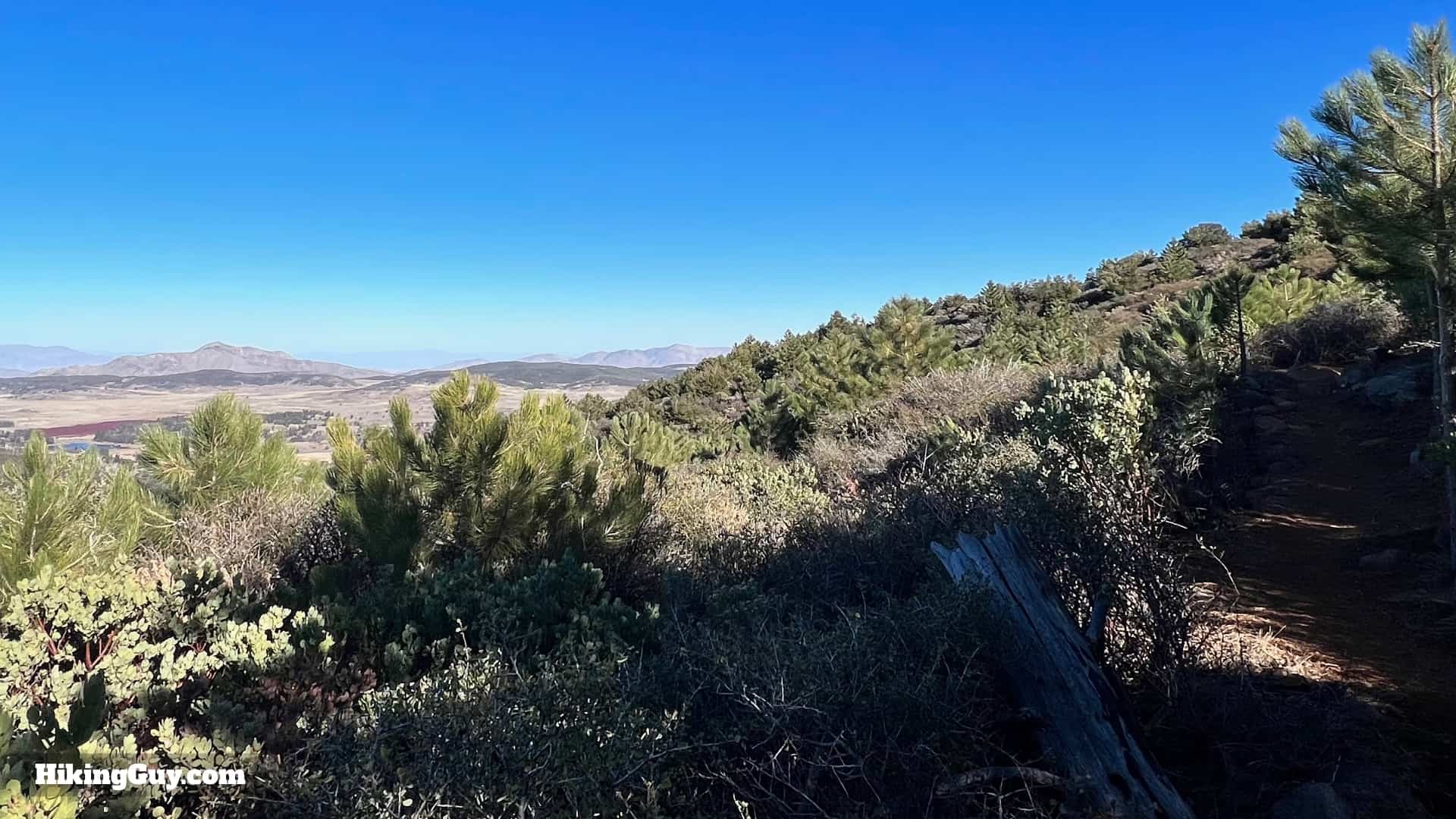
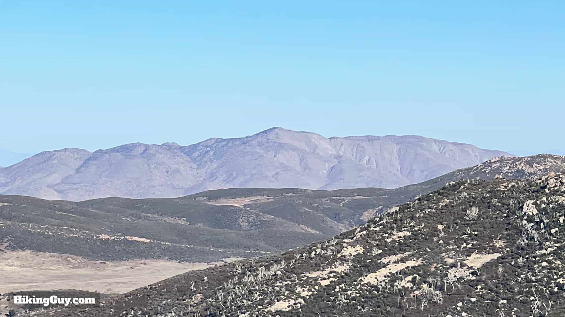
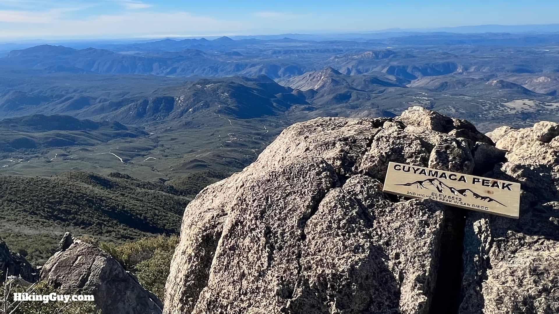
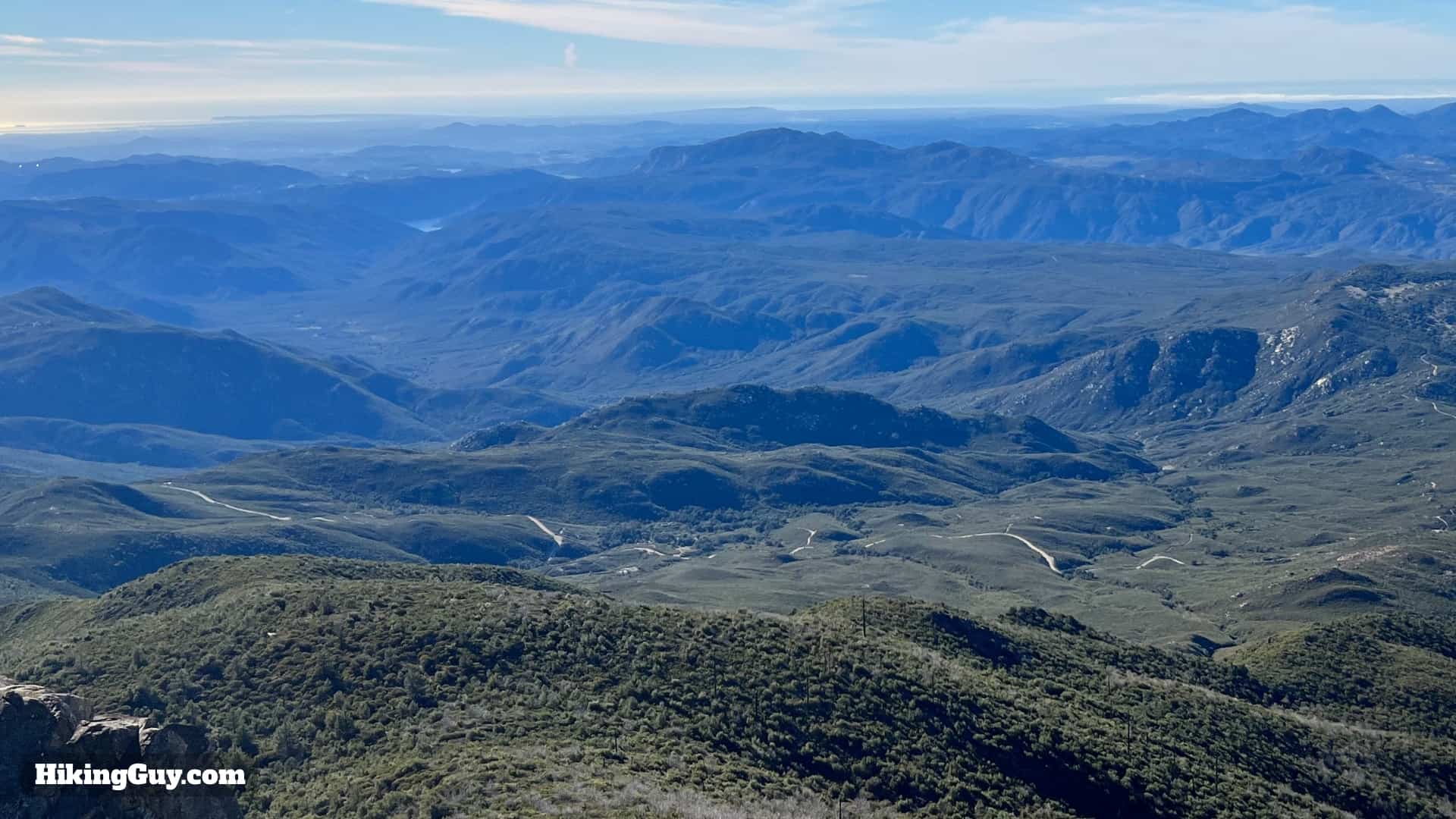
The hike to Cuyamaca Peak brings you to San Diego County's second-highest point at 6,512 feet. It's only 20 feet lower than the highest peak but much easier to hike. On a clear day, you can see for 100 miles from the summit, including the Coronado Islands and Table Top Mountain in Mexico. Even though the hike goes to a high point, it's not a tough backcountry expedition but rather a great hike for a beginner - no tricky twists and turns.
Cuyamaca is pronouced "kwee-e-mecca" and is the native Kumeyaay word for "place behind the clouds."
Where is the Cuyamaca Peak Hike?
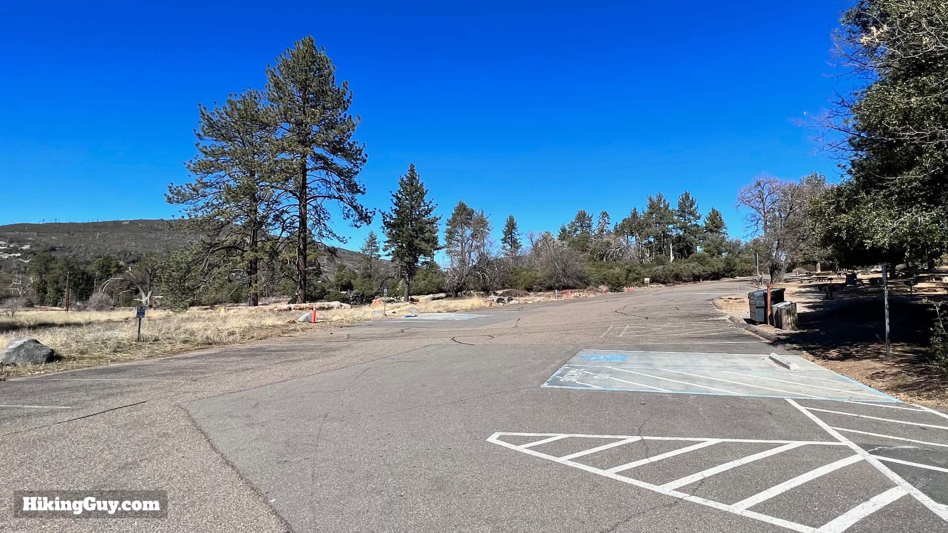
The hike starts in the Paso Picacho Campground in Ranch Cuyamaca State Park. Use this trailhead address:
Paso Picacho Campground, Julian, CA, 92036, USA.

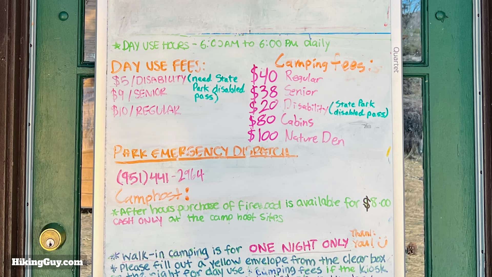
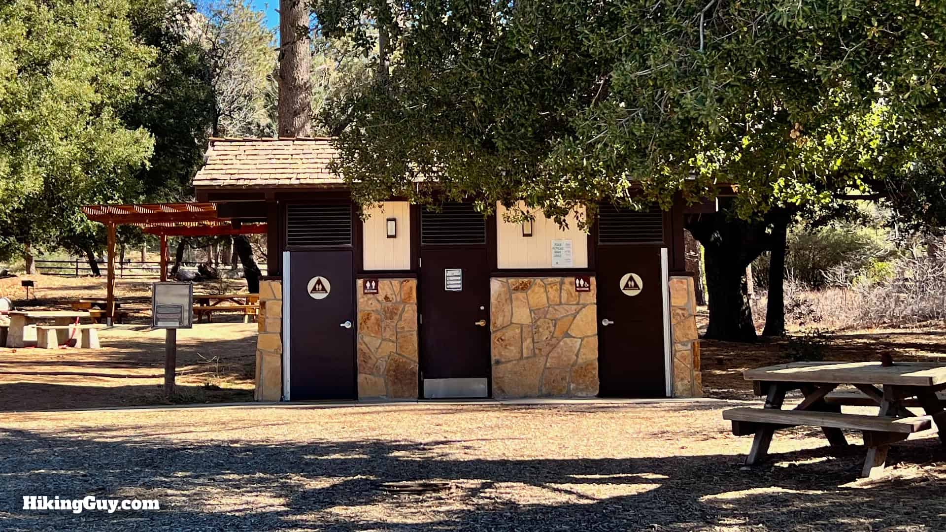
Here's what I recommend if you visit Cuyamaca Rancho State Park. The Cuyamaca Peak hike is right next to Stonewall Peak hike, and both can be done in a day. Break your hikes up with a picnic in Paso Picacho Campground.
Gear For the Hike
The San Diego high country is a place of extremes. In the summer, this hike can be brutally hot, and in the winter, the trail can be covered in snow and ice. Check the weather before you head out to the hike. The trails are not too technical, but hiking footwear will help the muddy and rocky sections. If you climb with trekking poles, they'll come in handy here too. I'd bring 2L of water.
Essentials I’m Using Now
- Garmin inReach Mini 2: Reliable SOS Everywhere on Earth
- Sawyer + CNOC Water Filter: Easy & Reliable Safe Water
- Nitecore NU25 Headlamp: Running late? Get home safe
- Altra Olympus 275: Favorite trail shoes right now, no blisters and very comfy.
- AllTrails Plus (30% off): Offline maps on your phone with the Plus level
- Full December 2025 Gear List →
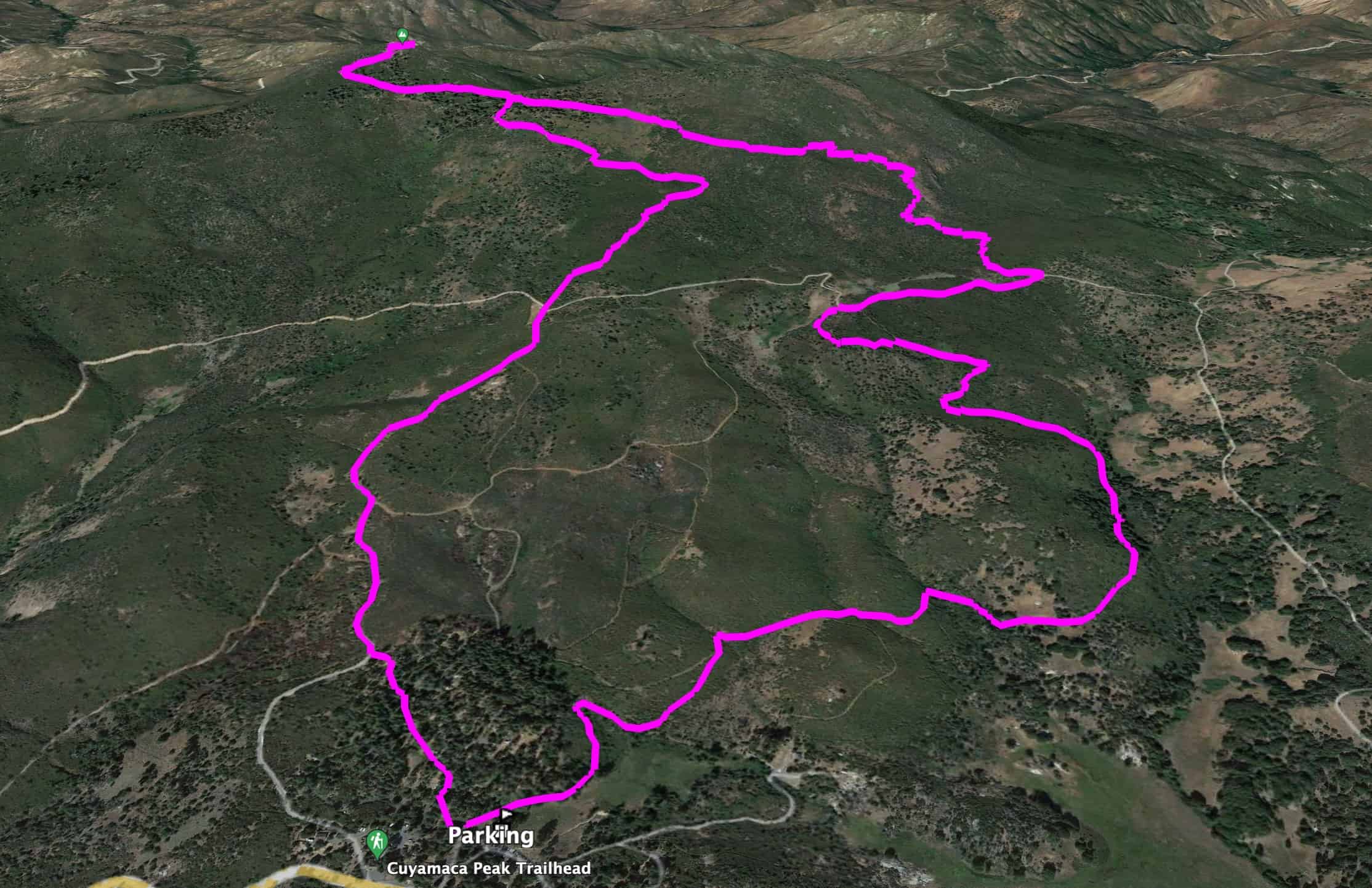
Cuyamaca Peak Trail Maps
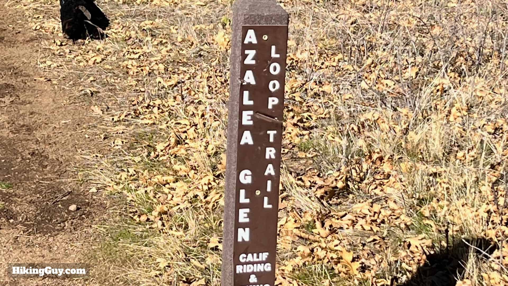
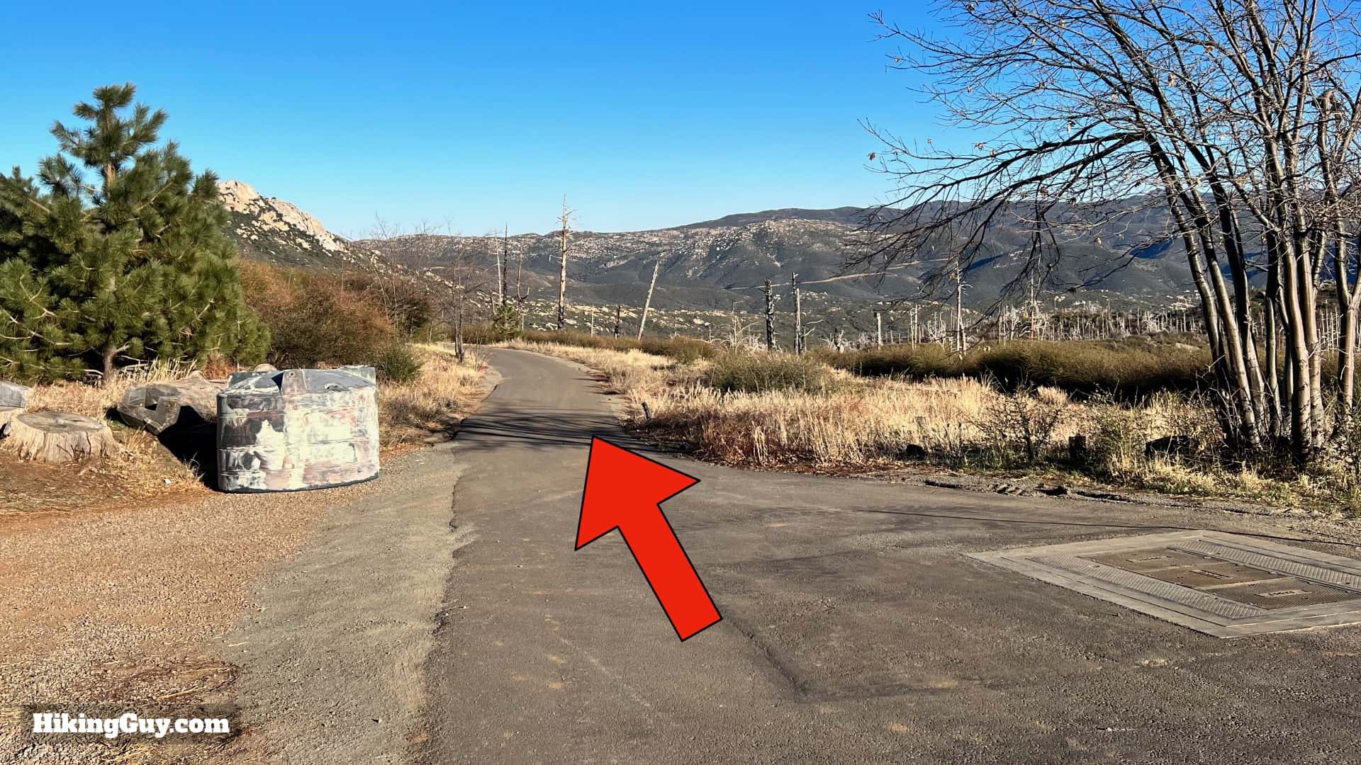
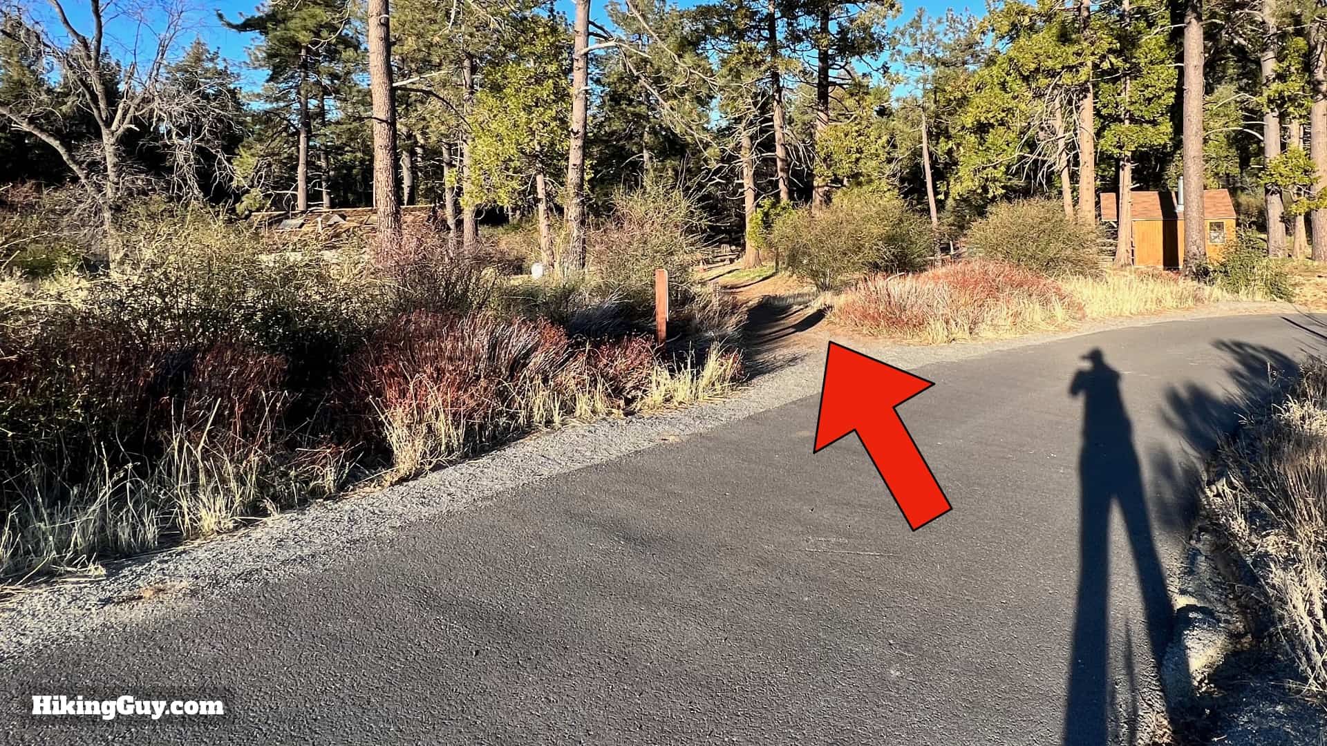
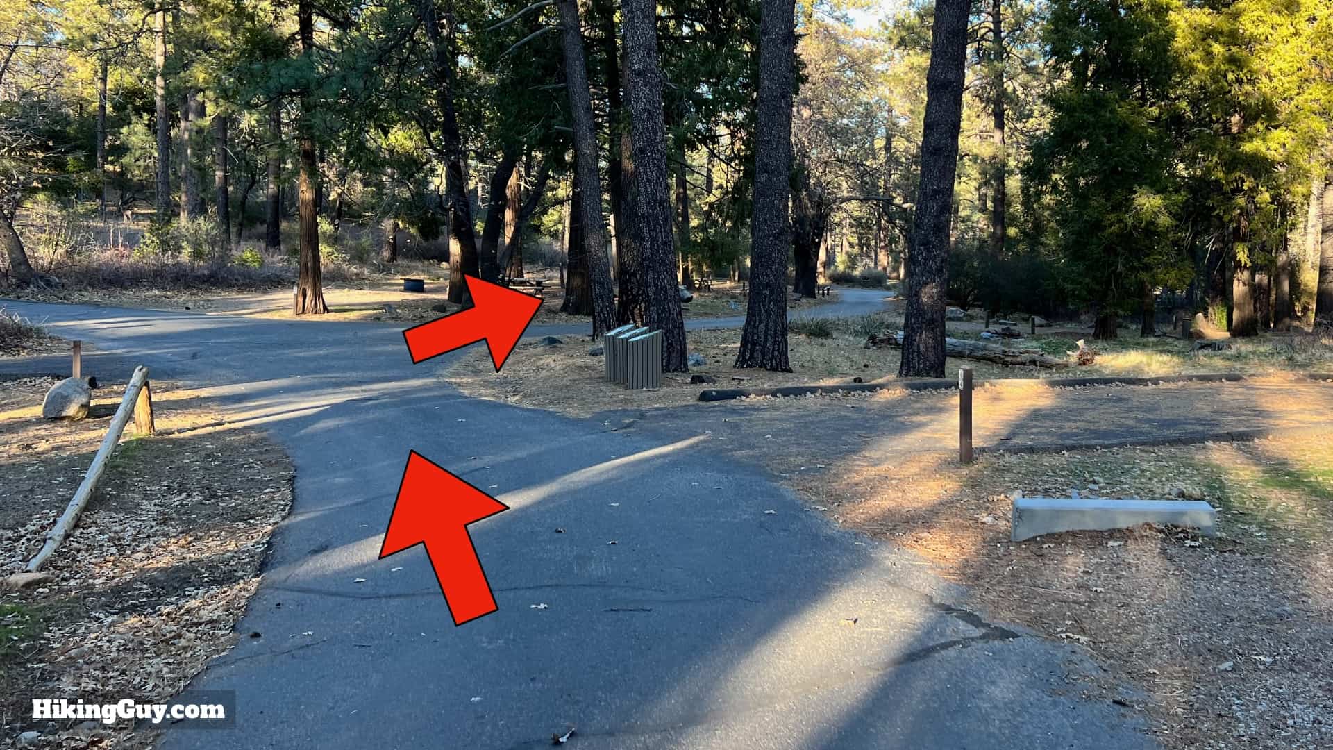
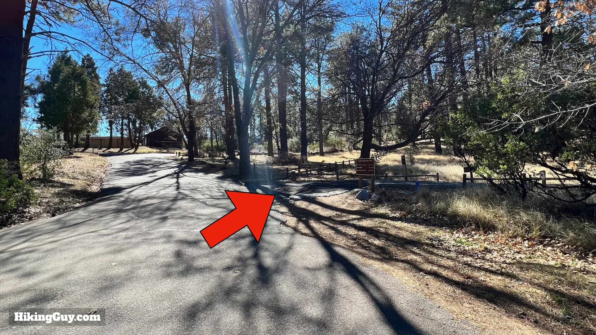
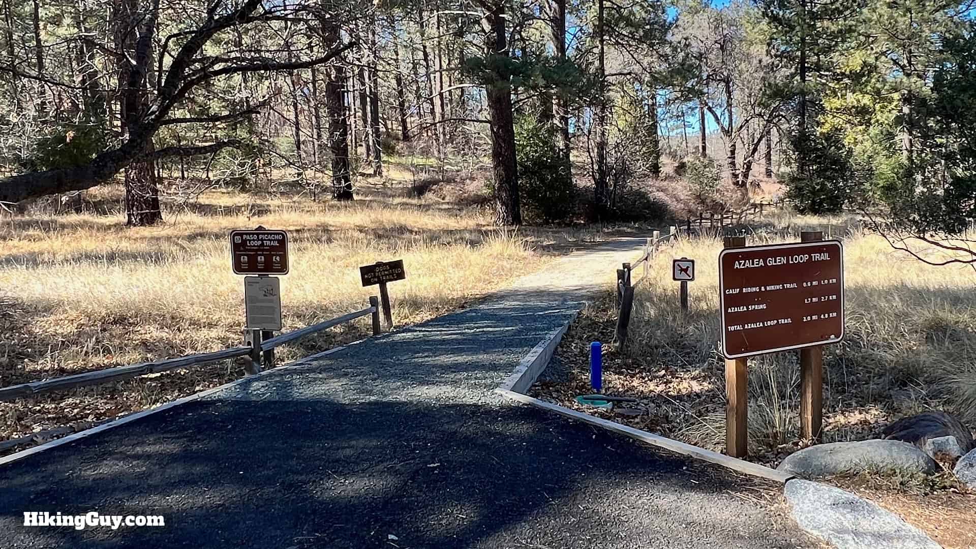
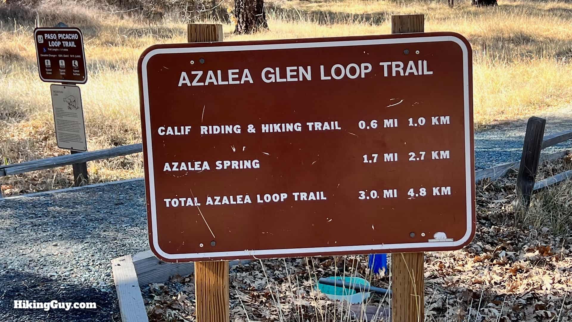
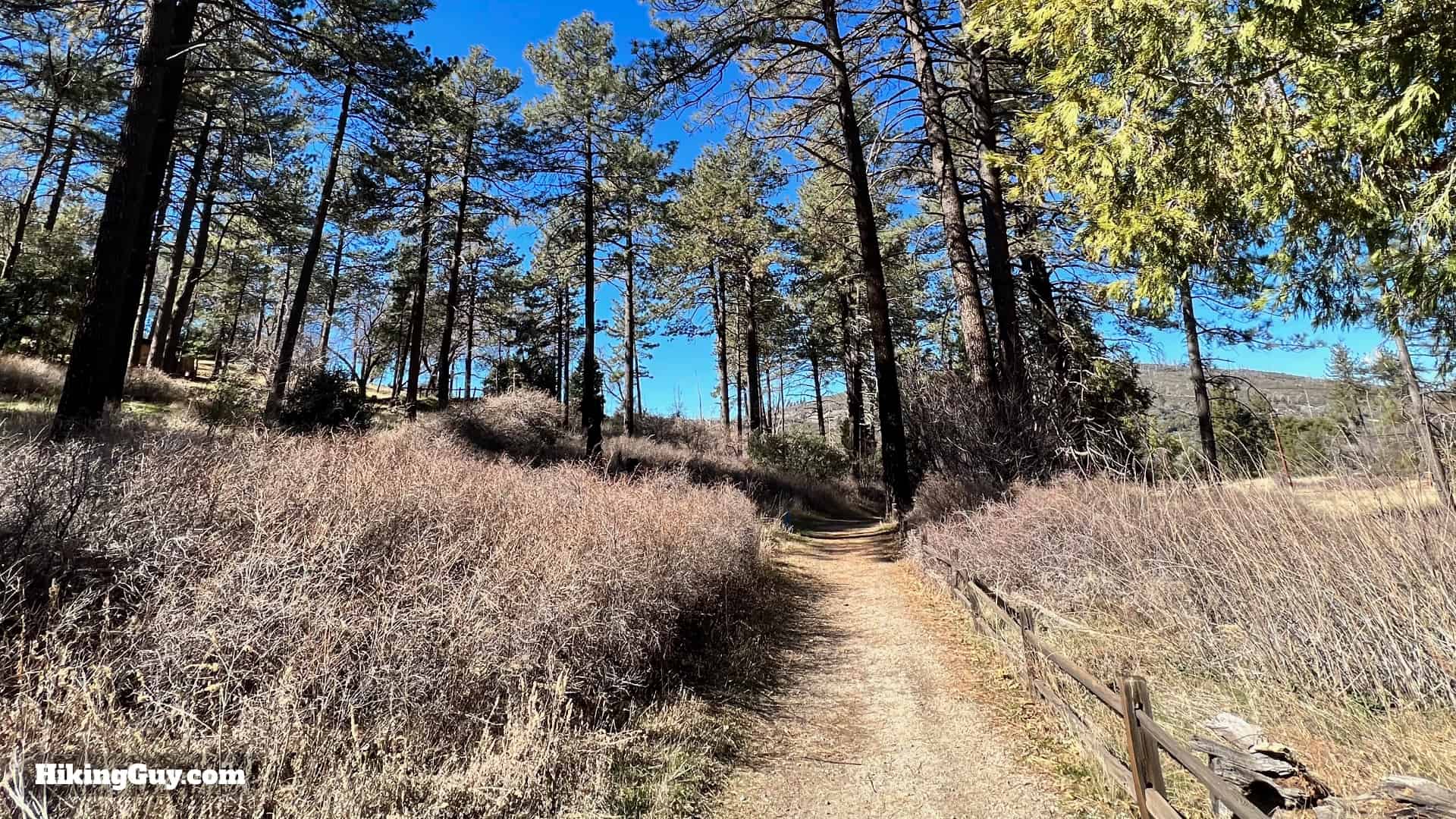
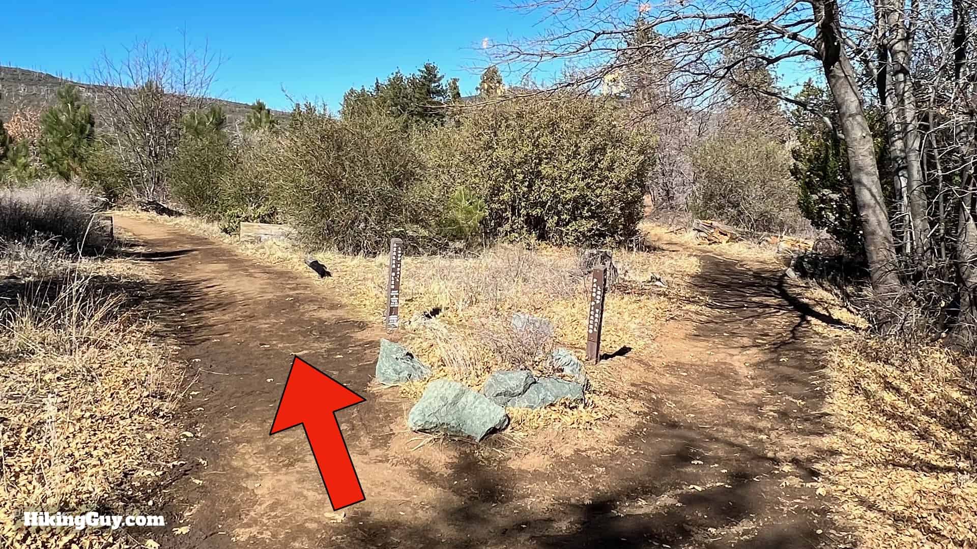
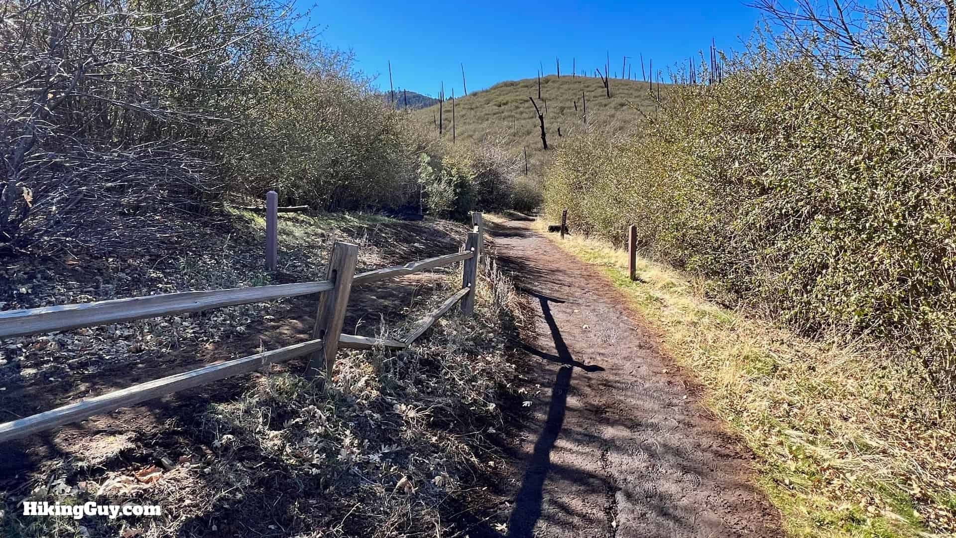
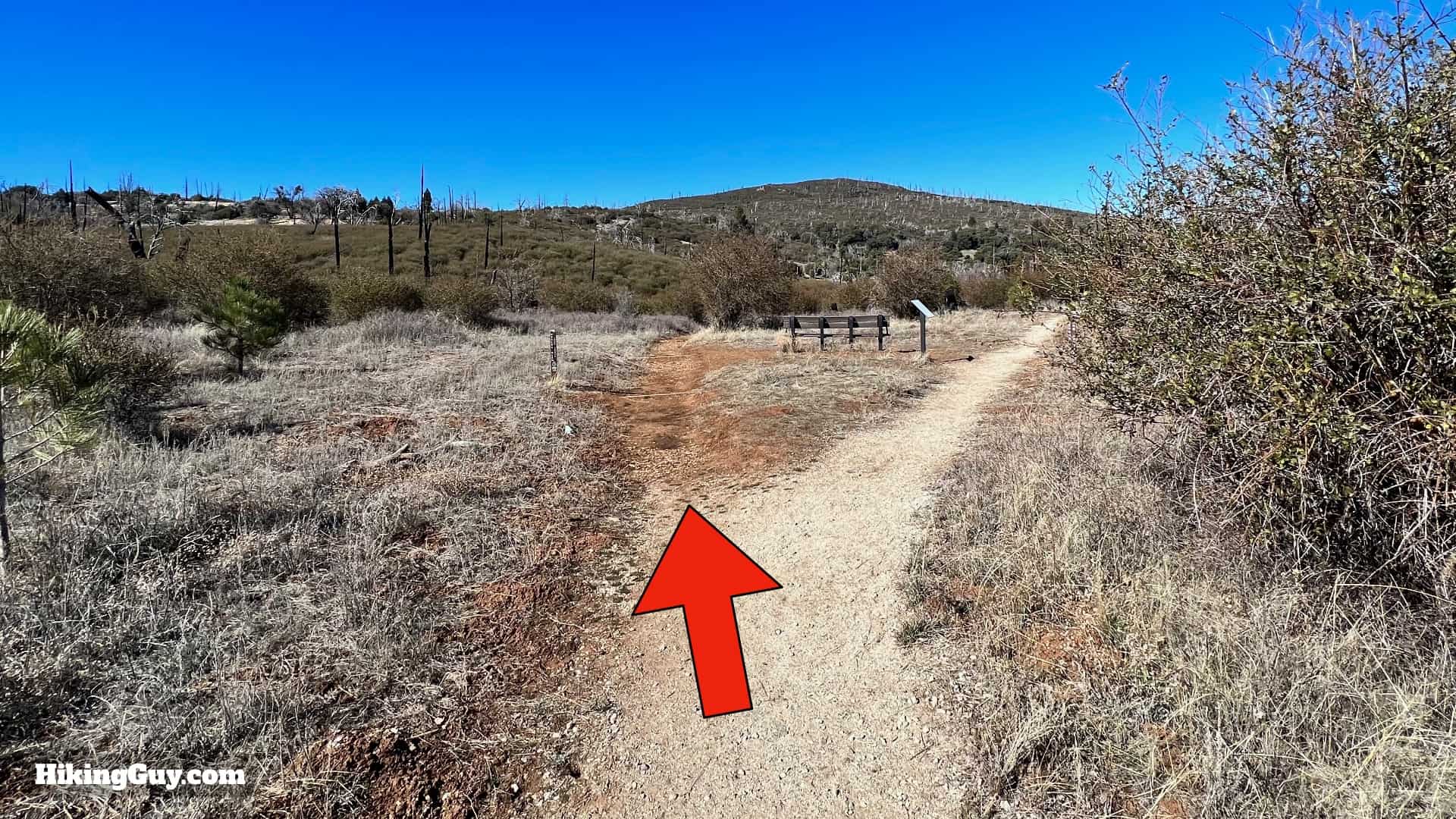
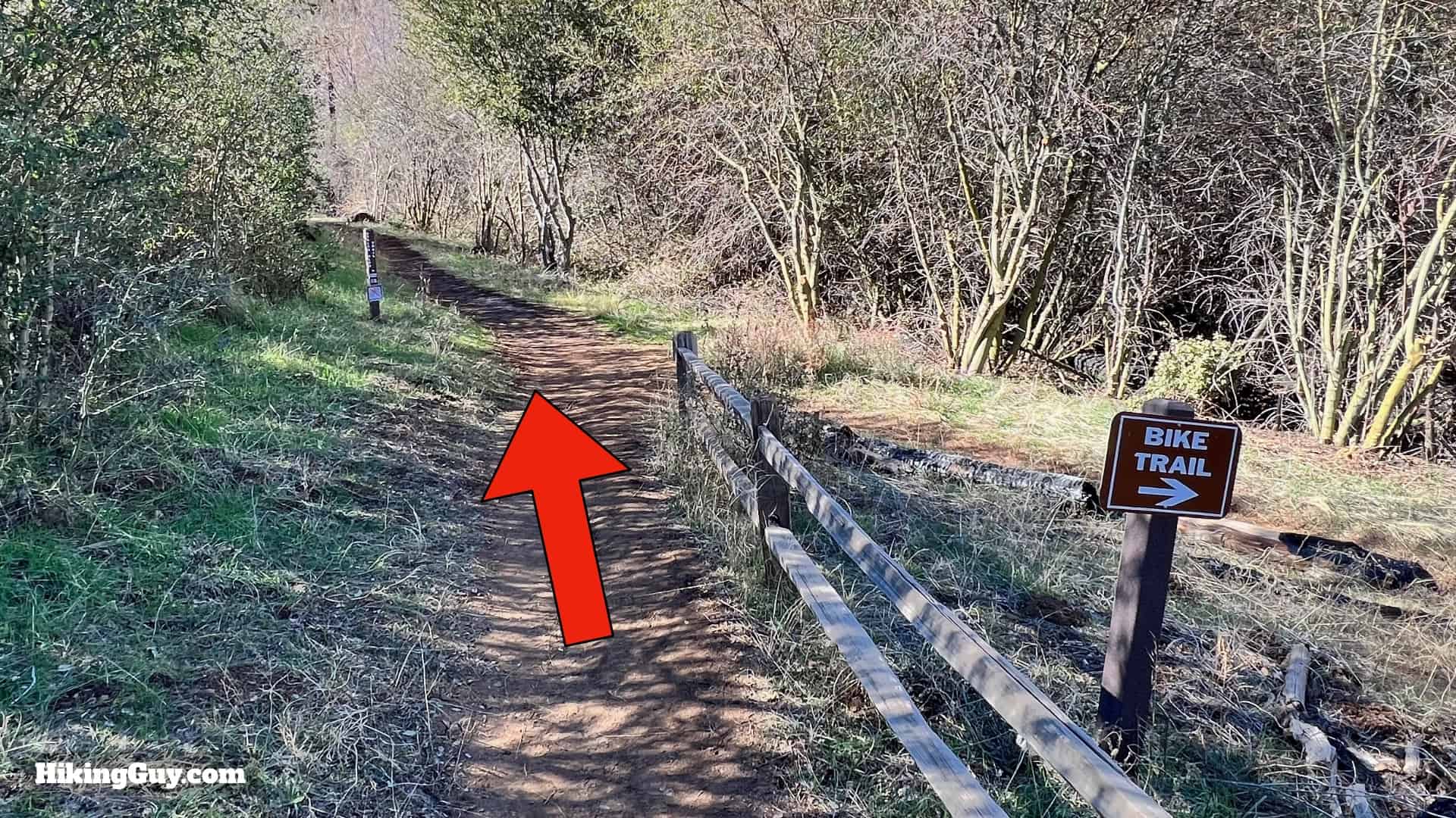
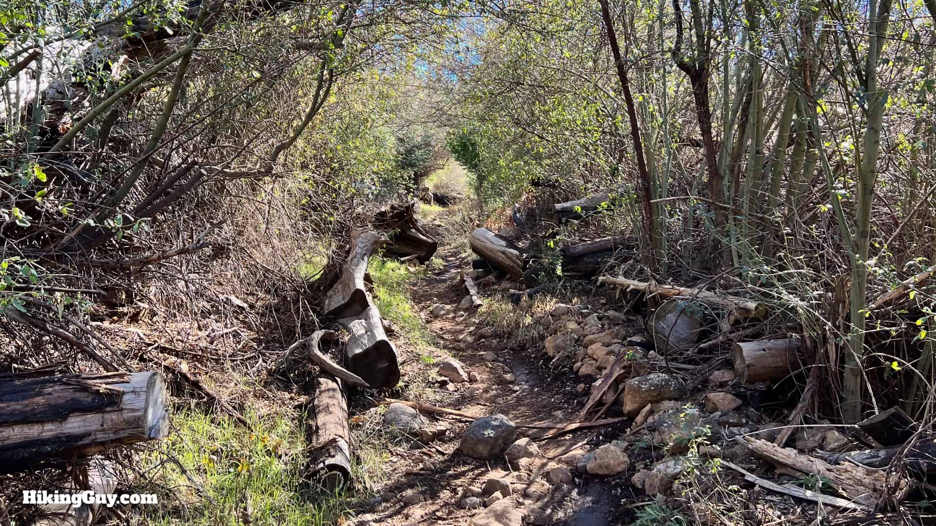
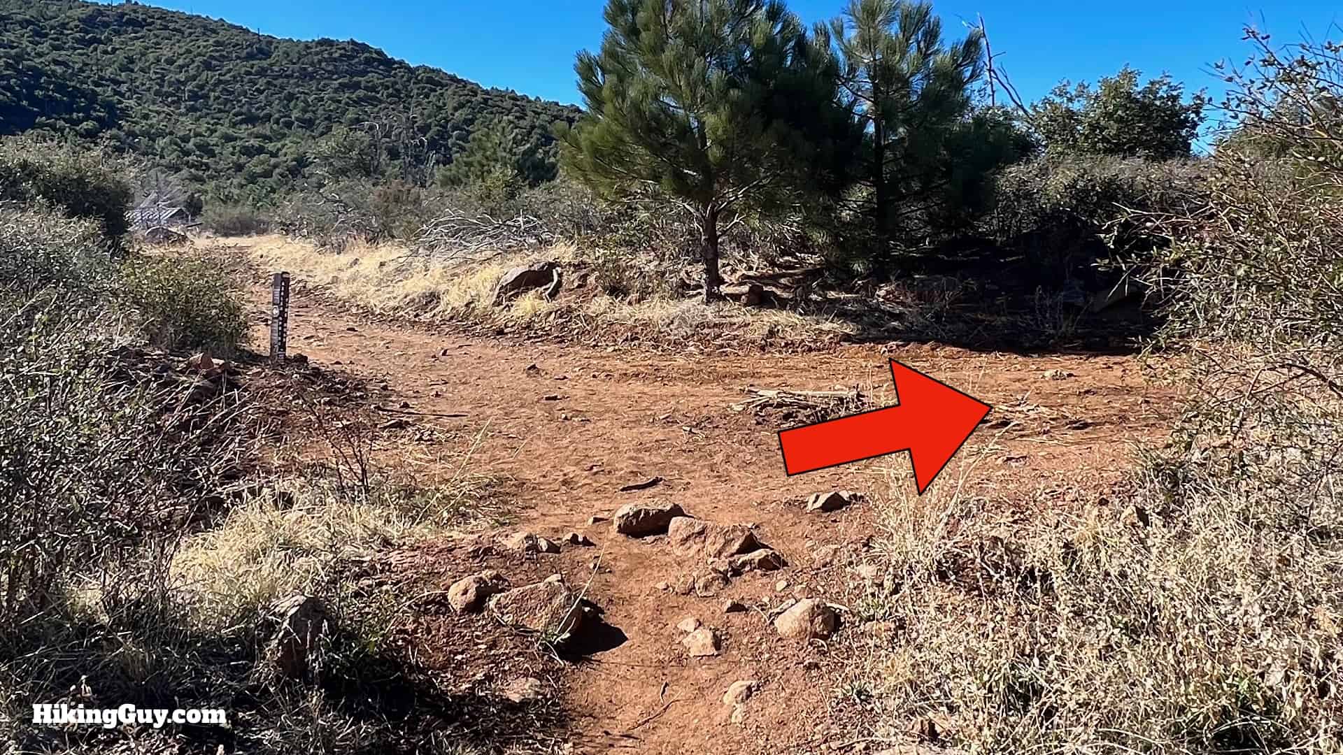
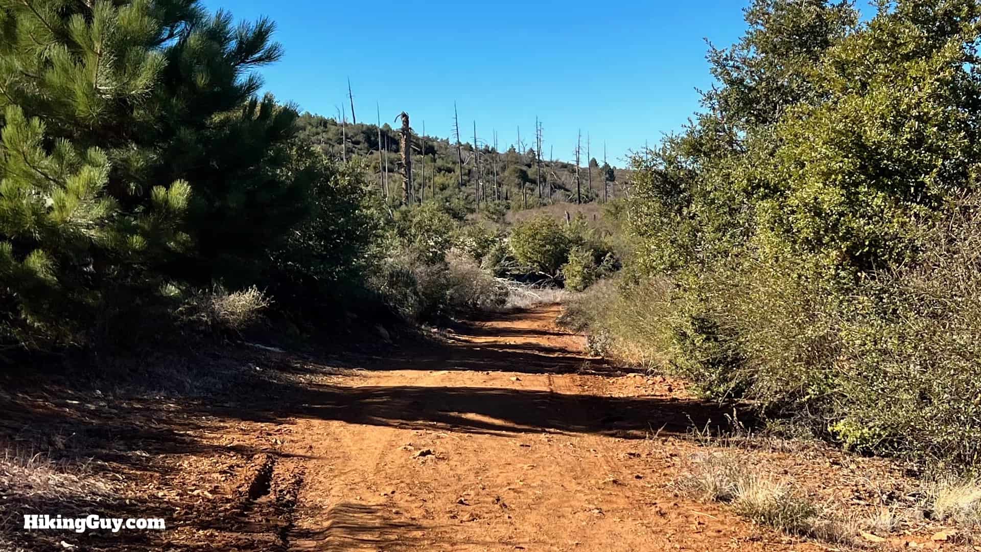
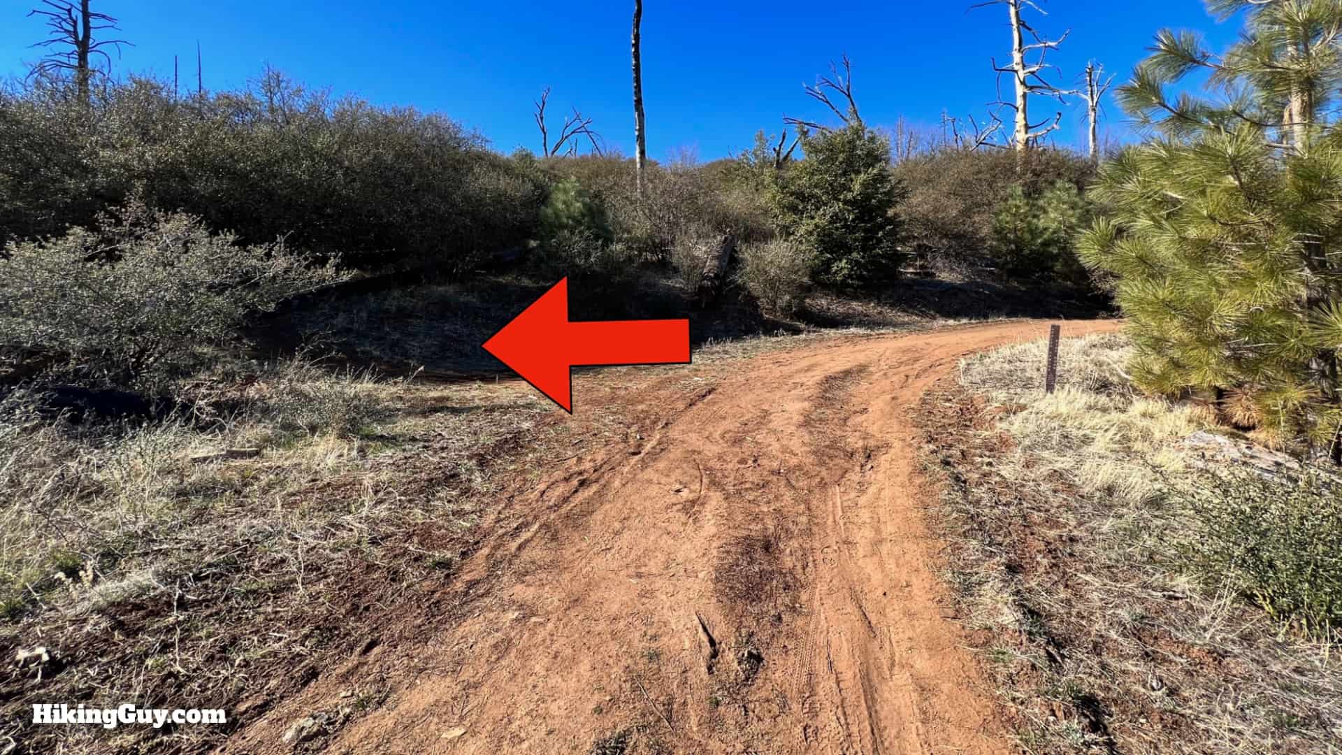
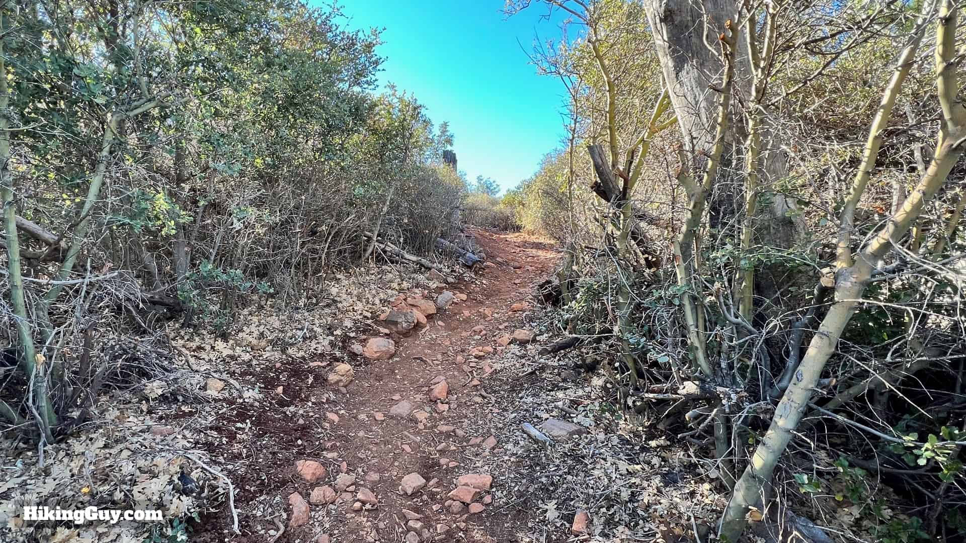
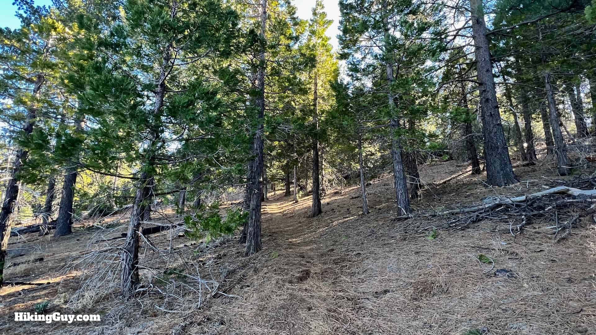
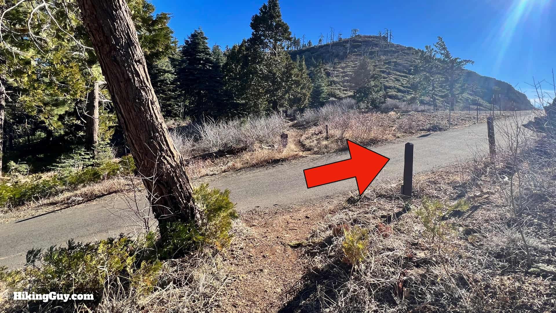
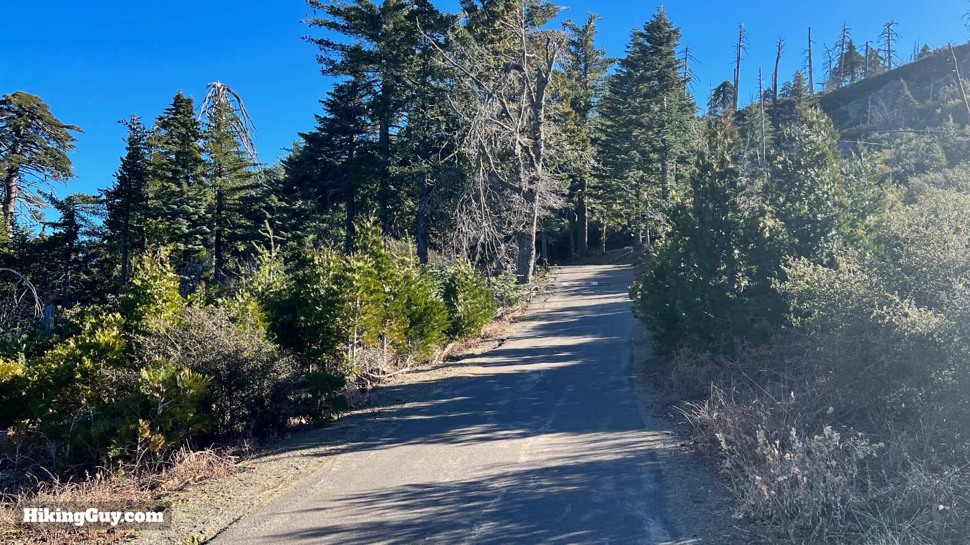
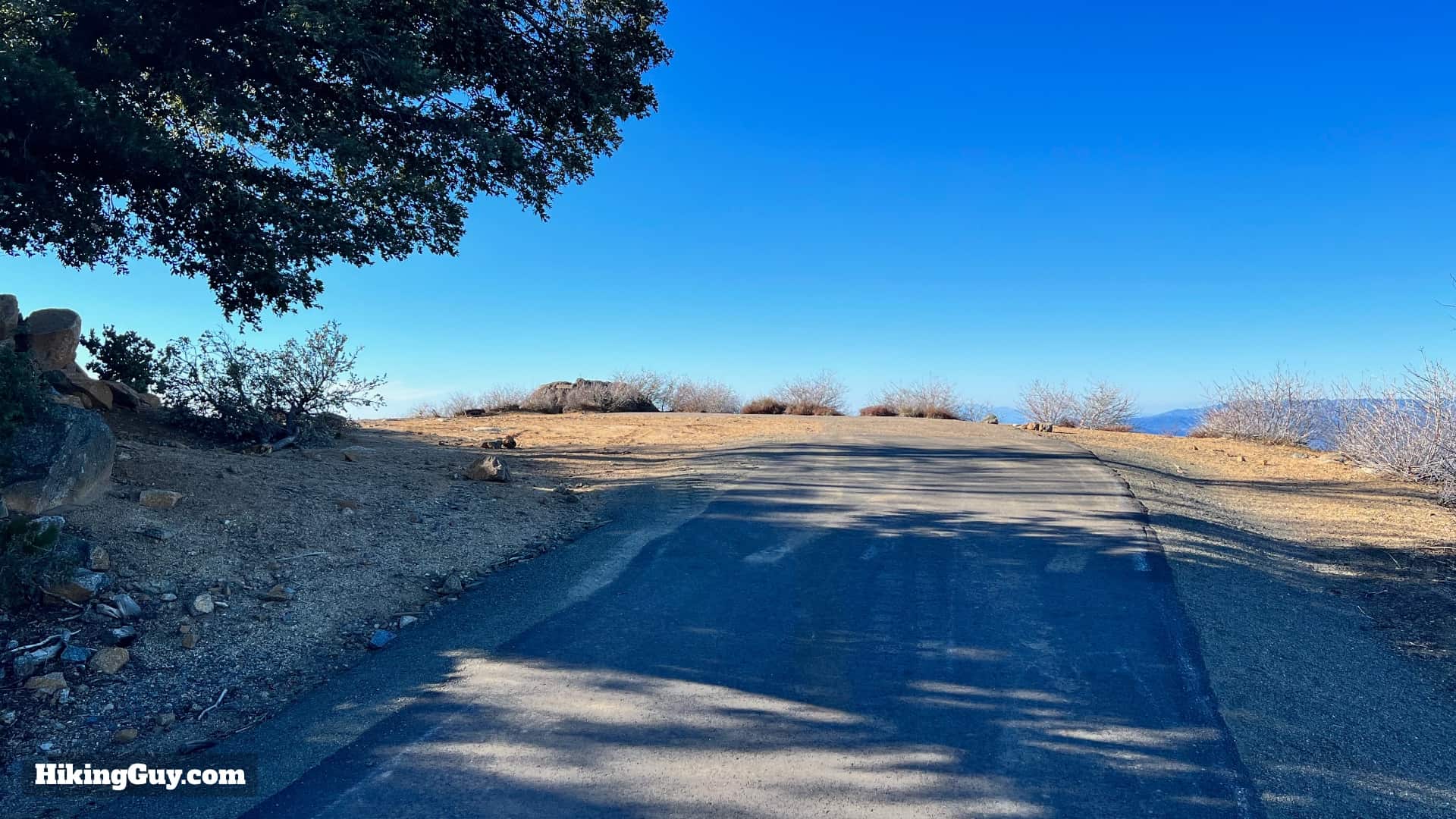
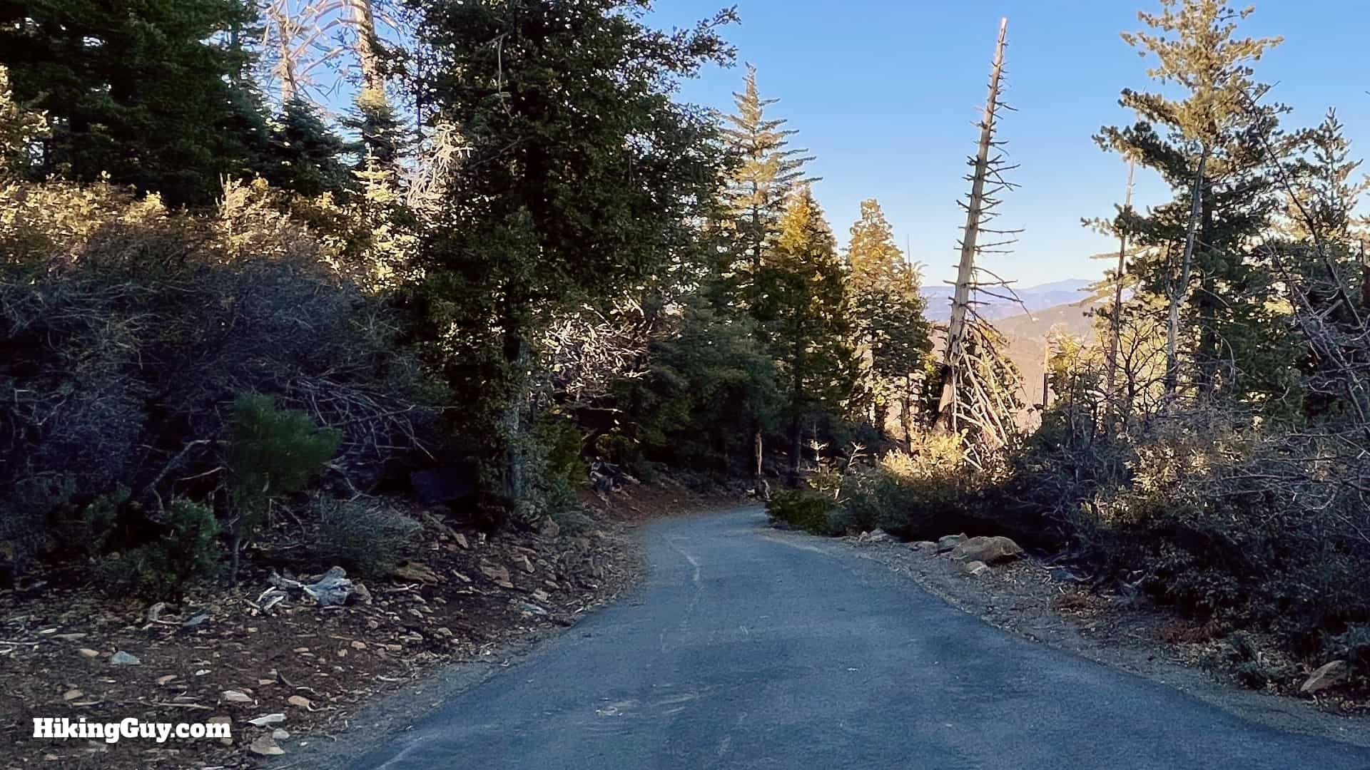
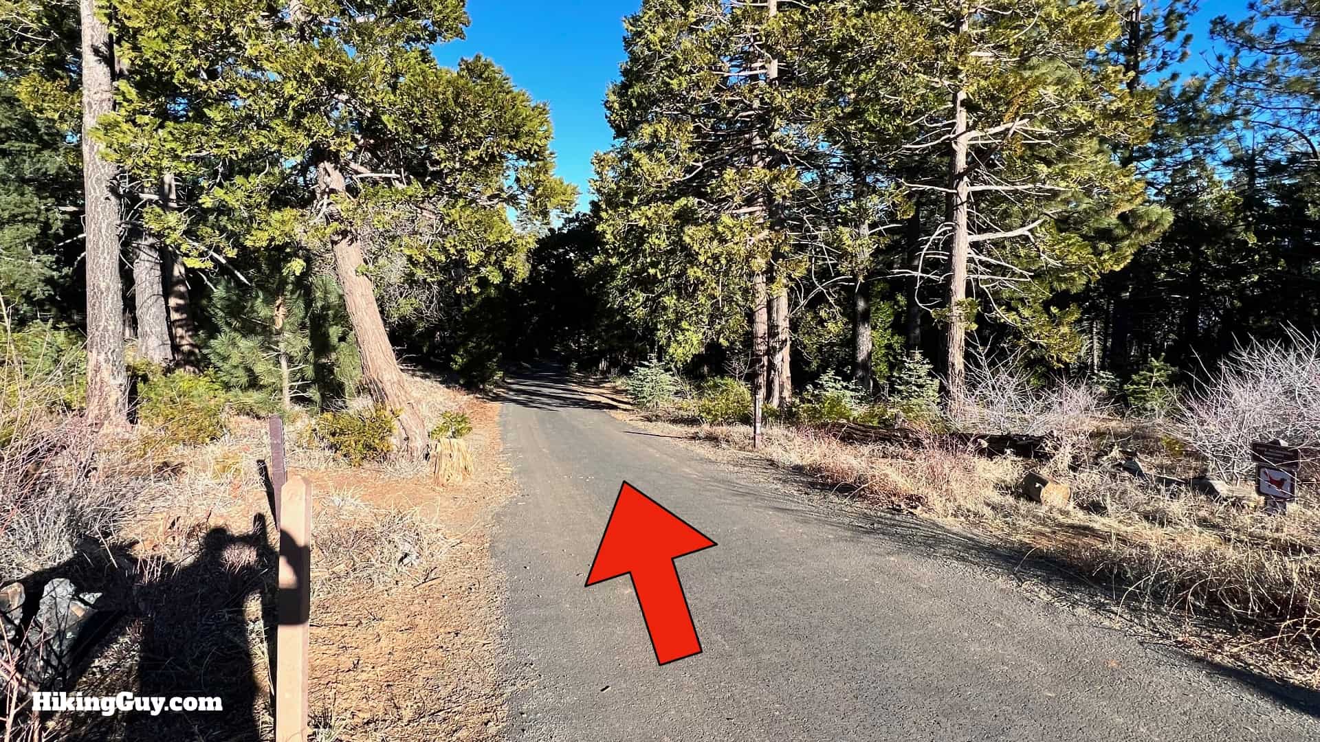
For this hike, we're going to take the Azalea Glen Trail from the campground and loop around to the summit. This is one of the nicer approaches from the parking area in the campground. Of course, you could also walk up the paved road, but what fun would that be? Once you get to the summit, walk back down the road to the campground for the quickest way to wrap the hike up. Or, if you prefer, you can go back the way you came on the trails.
Elevation Profile
3D Map
Hike Brief
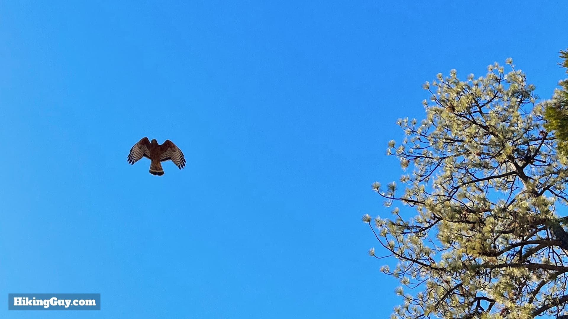
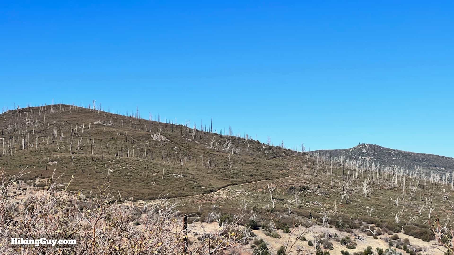
- You would think that Cuyamaca would be very lush, but it’s not. It’s still recovering from a devastating forest fire. In 2003, 90% of Cuyamaca park burnt down during San Diego's largest recorded wildfire, the Cedar Fire, started by a lost hunter who made a signal fire to get rescued. The area is recovering well, and today is home to over 200 bird species, and lots of mule deer and wild turkeys, which you have a decent chance at spotting if you leave early.
- From the late 1980s to early 1990s there were an unusually high number of mountain lion encounters here. It's been a long time since anything like that happened here, but it's best to be aware of the possibility (as you should anywhere in California). As the park says, "most lions avoid confrontation and people, but should you see one stay calm and do not run. Mountain Lions instinctively chase prey, running may trigger this instinct. Try to appear larger, raising your hands and facing the animal loudly. Do not be afraid to fight back need be."
- Human habitation here dates back 7000 years; the Kumeyaay peoples included this land as their home. In 1869 the discovery of gold in nearby Julian meant the end of their traditional way of life.
- Many of the structures and trails on this hike were built by the CCC in the 1930s.
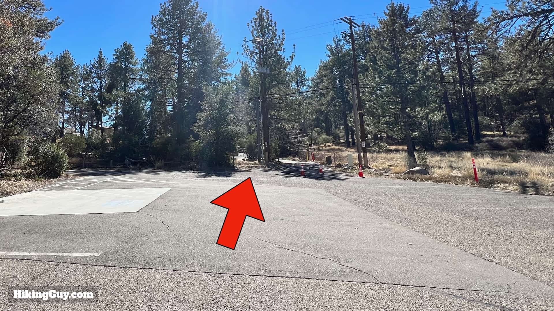
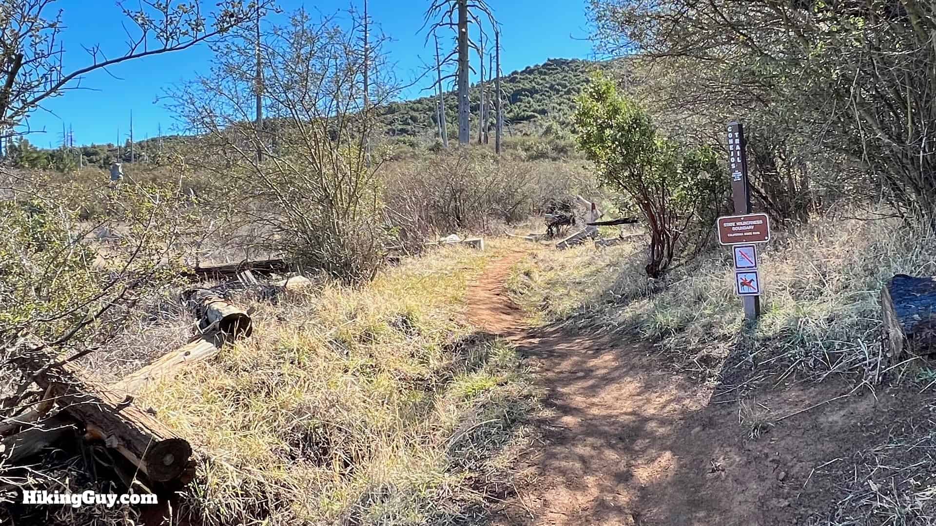
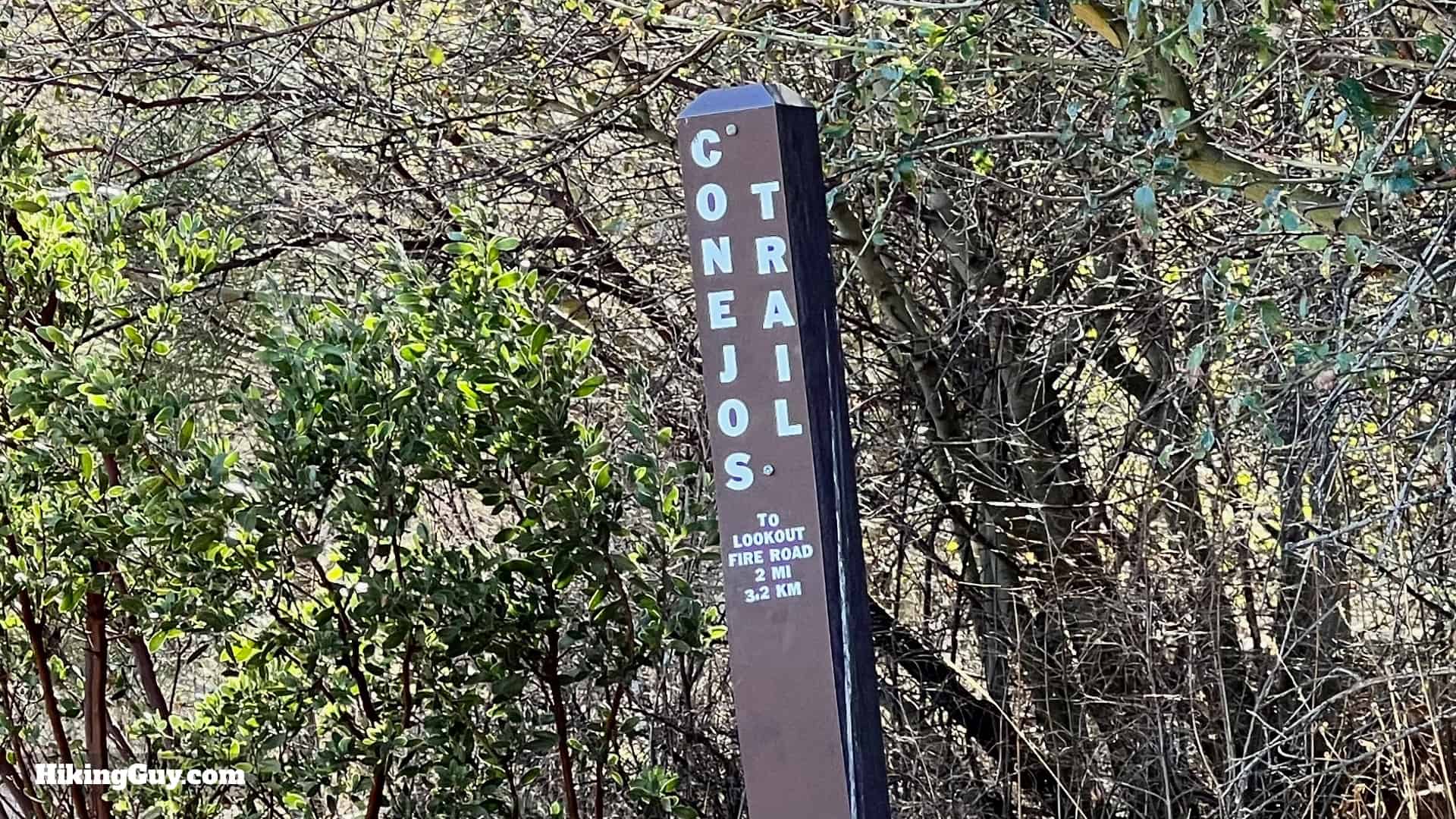
Cuyamaca Peak Hike Directions
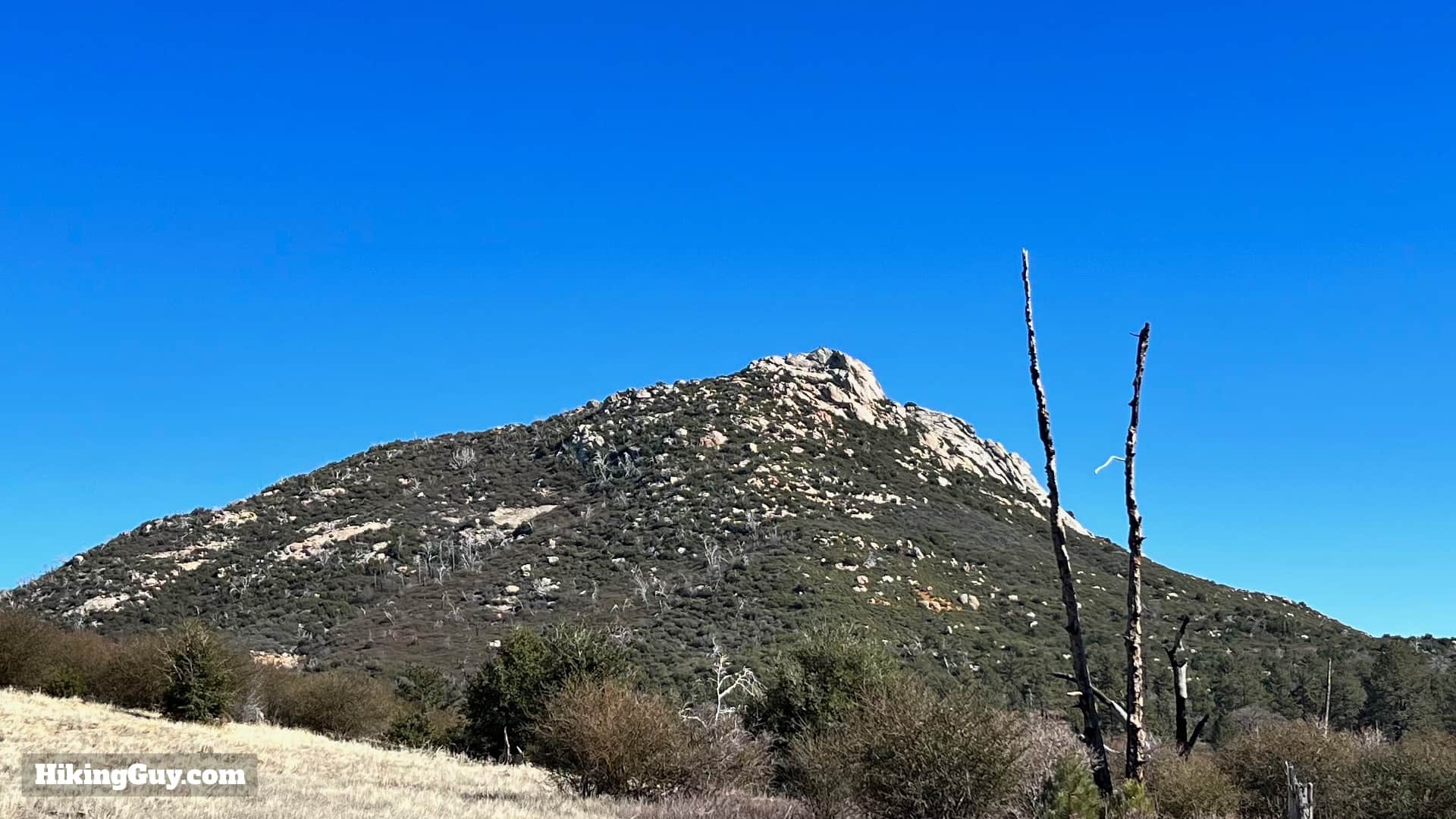
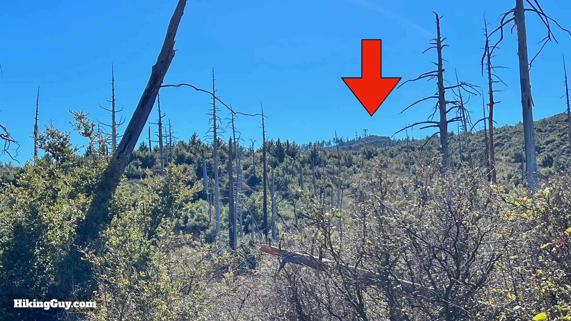
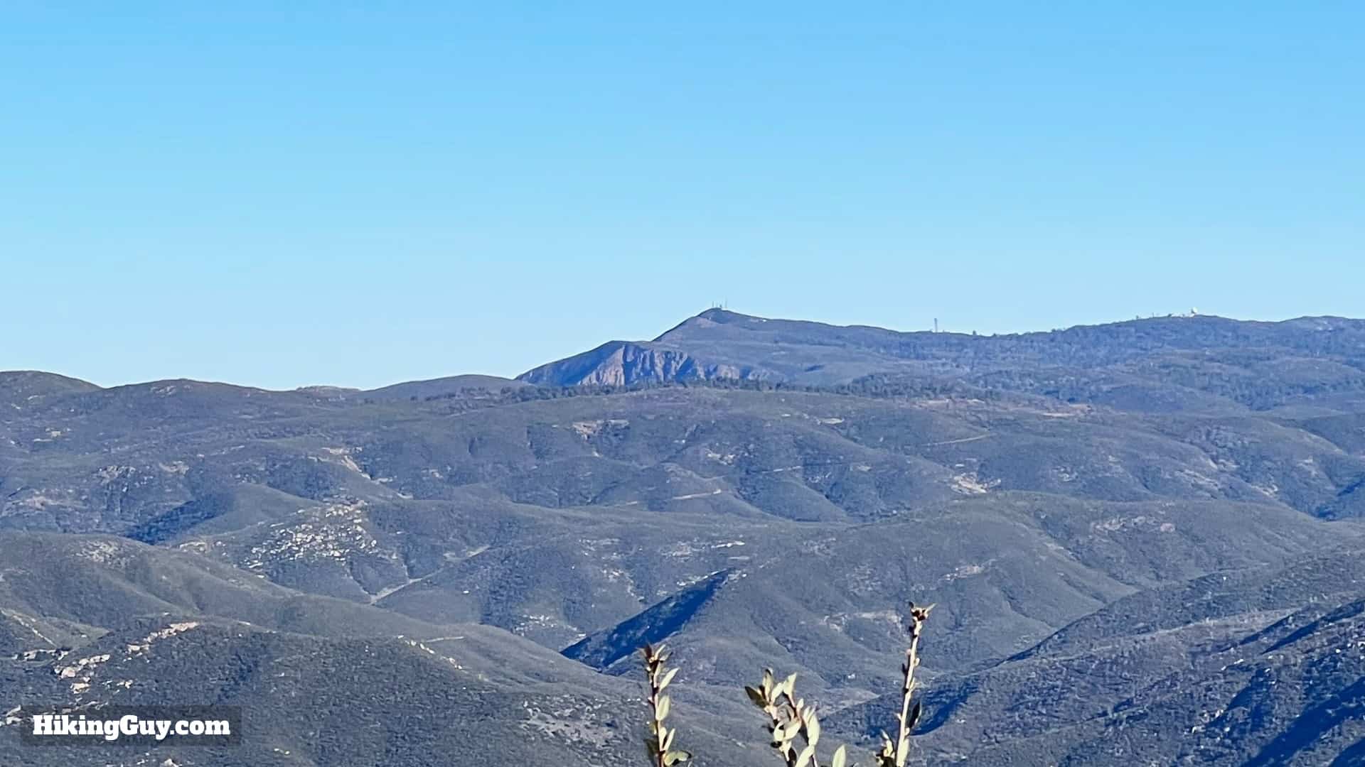
You'll notice radio towers off to the left. Hikers are discouraged from entering the area, but if you do, there are boulders and some more views. You'll also find a USGS marker and the footprint of a fire tower that once sat on the summit.
The road back down is steep and paved, and can be tough on the knees if you have problems in that department.