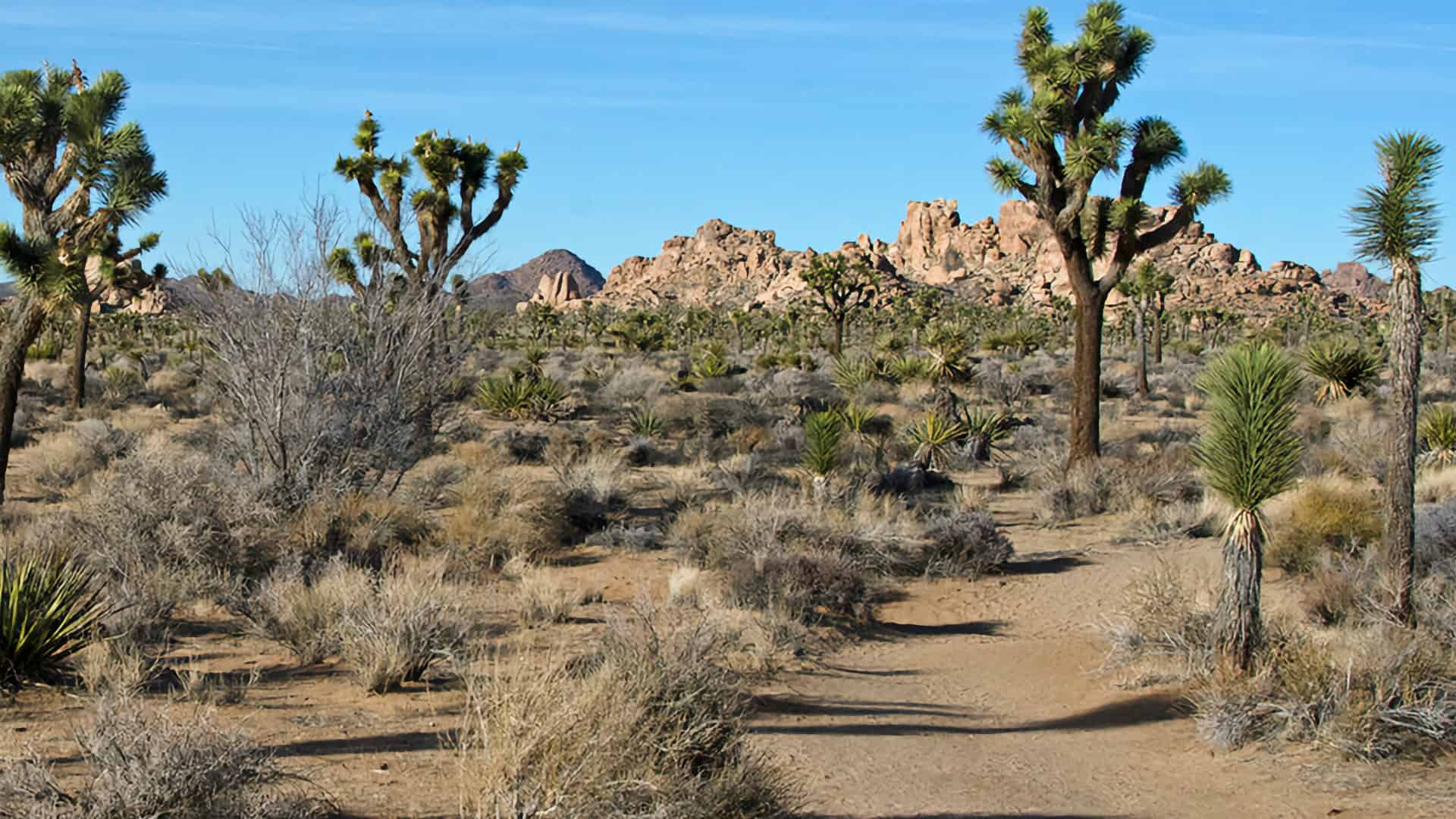
As one of the longer recommended day hikes in Joshua Tree National Park, the Boy Scout Trail is a popular hike. Starting at the Keys West Trailhead, you'll hike across an open desert full of Joshua Trees, then transition into a rocky descent through the Wonderland of Rocks that offers panoramic viewpoints. And then, 1,000 feet lower, the trail makes its way through washes and canyons to Indian Cove. The hike is unusual in that you get a taste of the upper Mojave desert with it's Joshua Trees, and then lower Mojave desert, with cactus and yucca. Do the out-and-back hike for 16 miles, or just hike to the viewpoint for a respectable 9.5-miler.
Where Is the Boy Scout Trail in Joshua Tree?
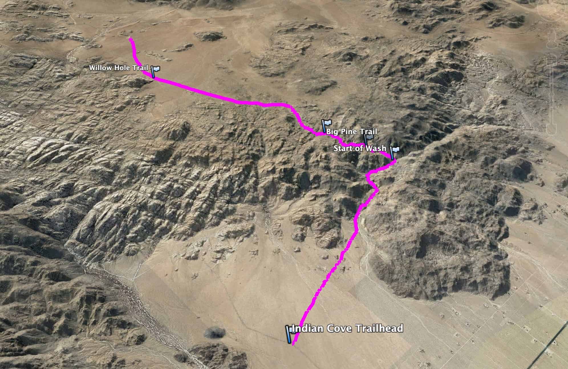
The Boy Scout Trail has two ends, and this guide starts at the east terminus of Keys West, just off of Park Blvd, relatively close to the West Entrance of the park. There are signs off the main Park Blvd for Boy Scout Trail parking. Use this trailhead address: Boy Scout Trail, 64568 Park Blvd, Twentynine Palms, CA 92277
The lot at Keys West is one of the biggest for any trailhead in the park, but it does fill up at popular times. Get here early to beat the crowds.There's a primitive toilet at the trailhead and some trash cans, but no water.
Gear for the Hike
This is a long desert hike that's entirely exposed, so you need to prepare accordingly. I bring at least 3L of water, wear good hiking boots, and have trekking poles for the climbs. If you need to top up your water, you can walk an extra mile (0.5 there, 0.5 back) to the Indian Cove Entrance Station and refill when you're at the half-way point. Otherwise, there's no water on the hike for a refill. Having small snacks will keep your energy up for the distance.
This out-and-back hike is similar to the Grand Canyon in that you start with a descent and then hike back up. What this means in practical terms is that you need to save energy for the trip back. And while the climb out is only about 1,300 feet, the first half of it is done in loose sand, which is hard to hike through. Doing the full hike is always a little tougher than you'd think.
Here's the one way (west to east) profile of the hike. It's flat for about halfway, then you descend. On the way back, you have to climb back out.
Hike Landmarks
Landmark
Distance
Elevation
Trailhead
0
4030
Willow Hole Trail Junction
1.3
4130
Big Pine Junction
4
4030
Viewpoint
4.8
3900
Wash Begins
5.4
3560
Indian Cove
8
2860
3d Map
In this view you can clearly see the 3 sections of the hike: upper Mojave, Wonderland of Rocks, and then lower Mojave. When you do the hike it helps to mentally chunk the trip into these blocks too.
Boy Scout Trail Hike Directions
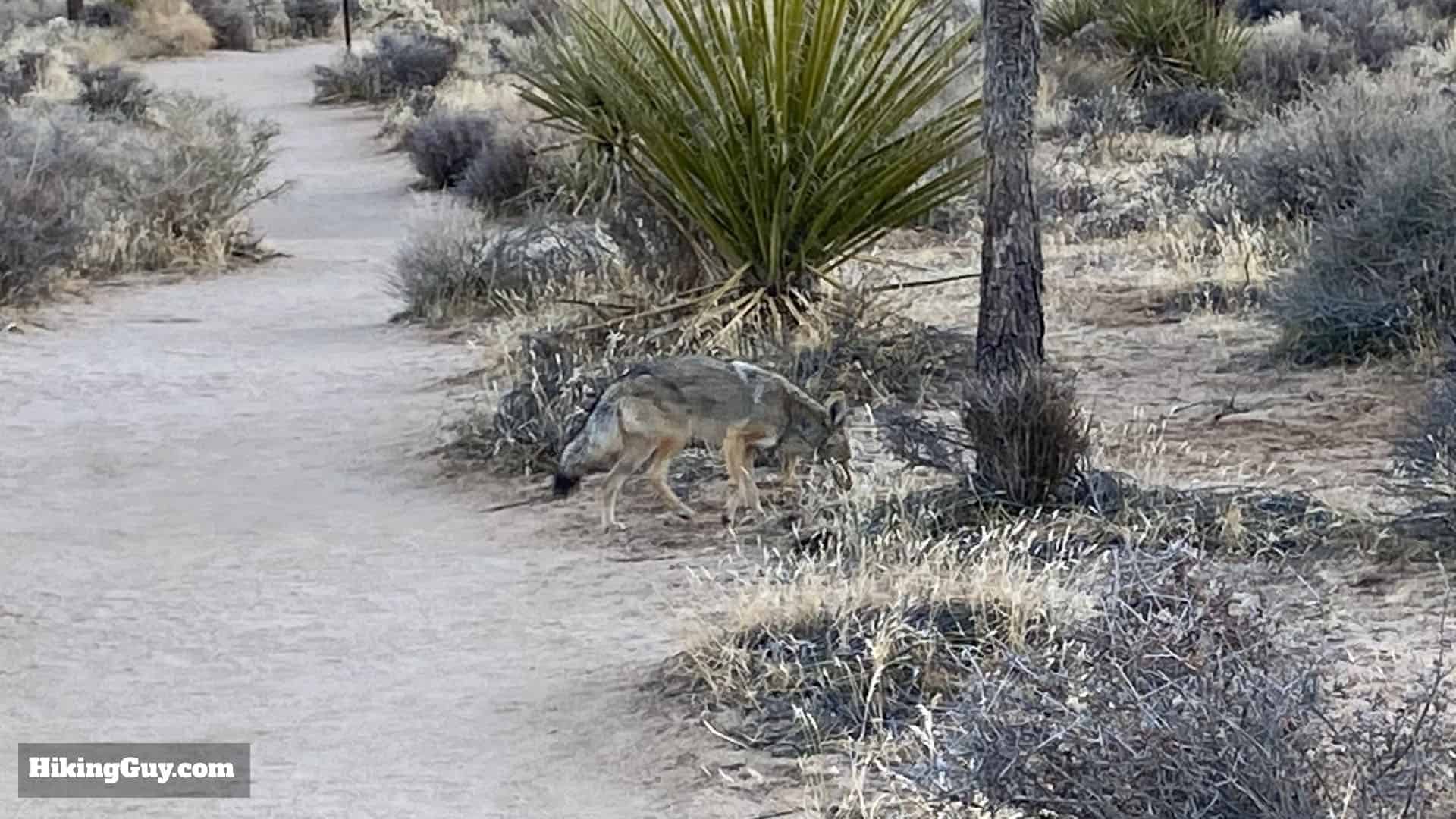
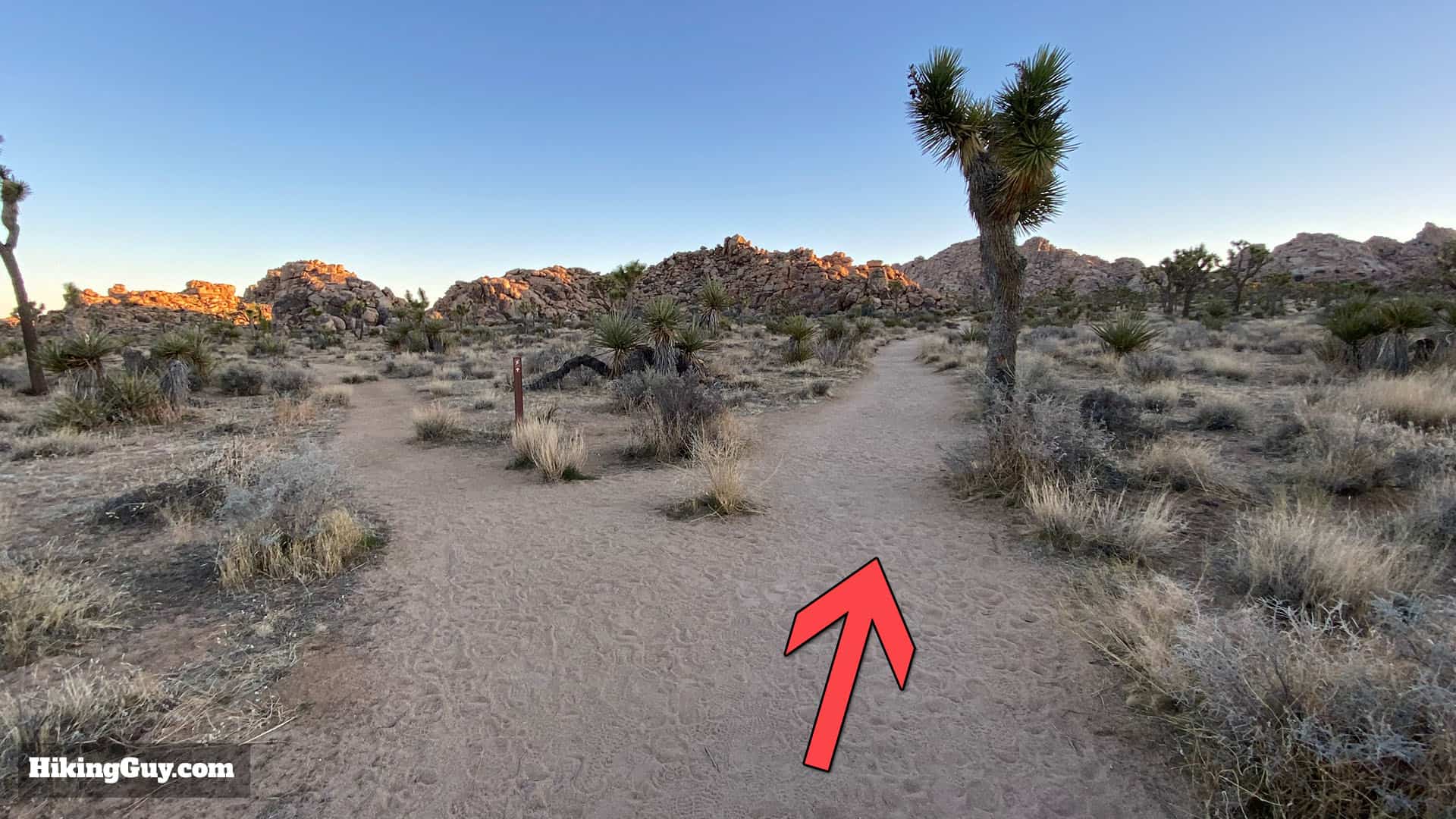
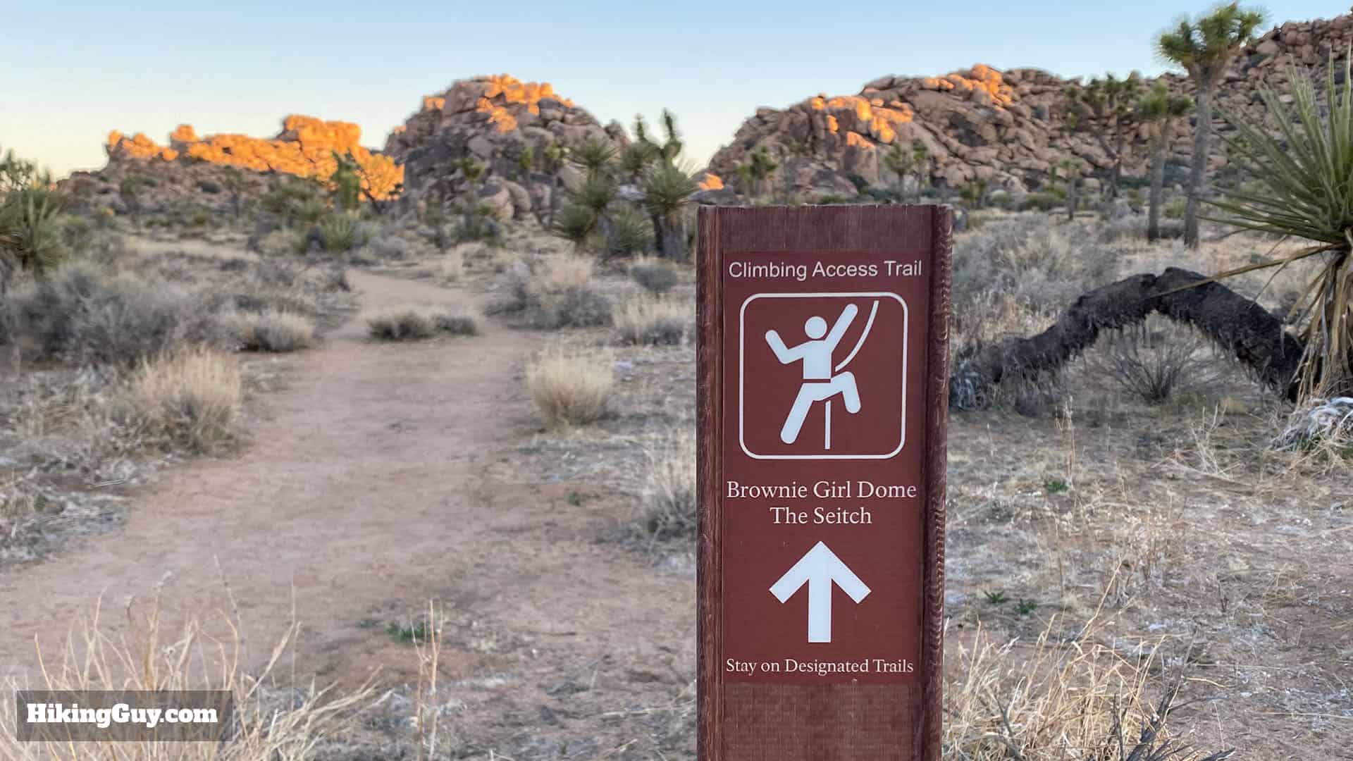
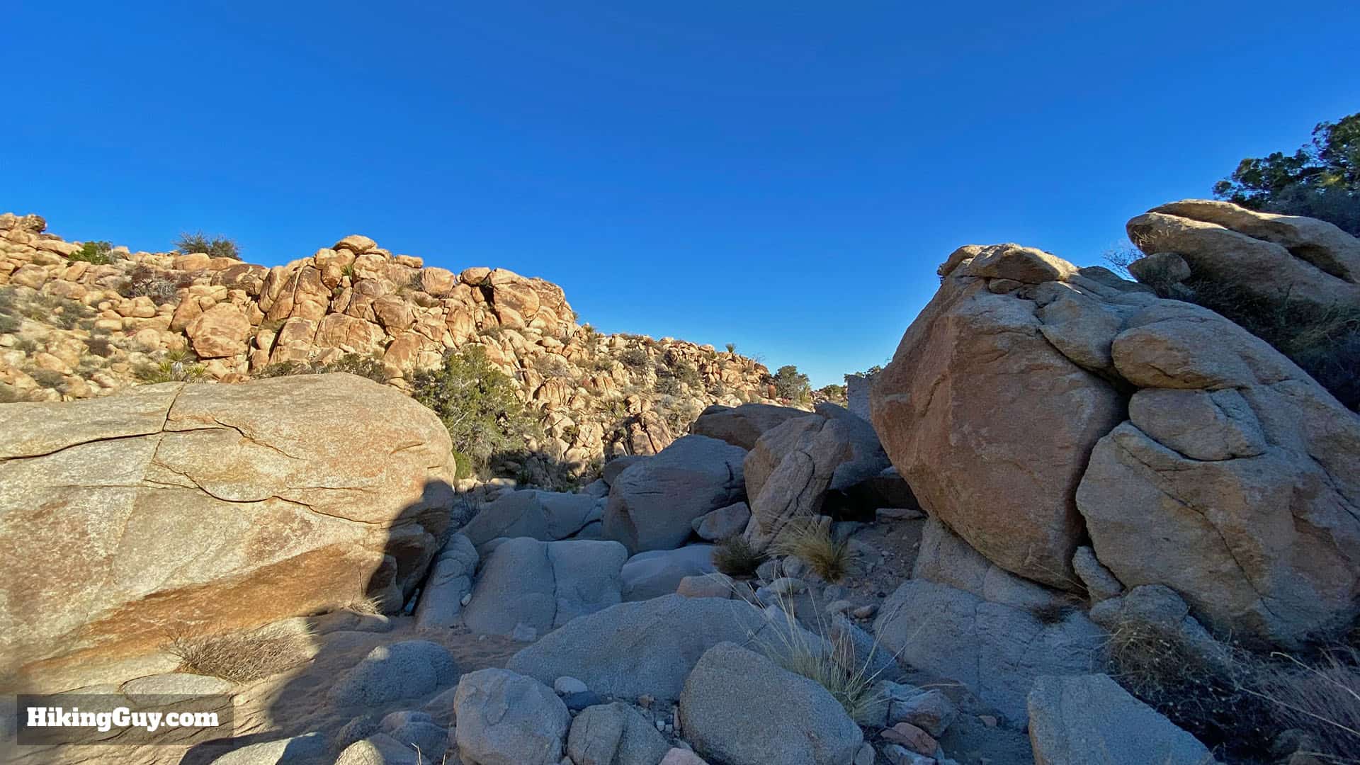
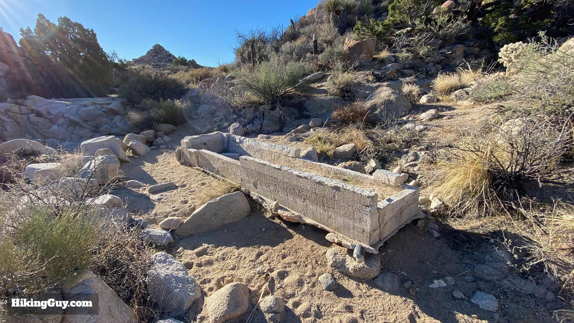
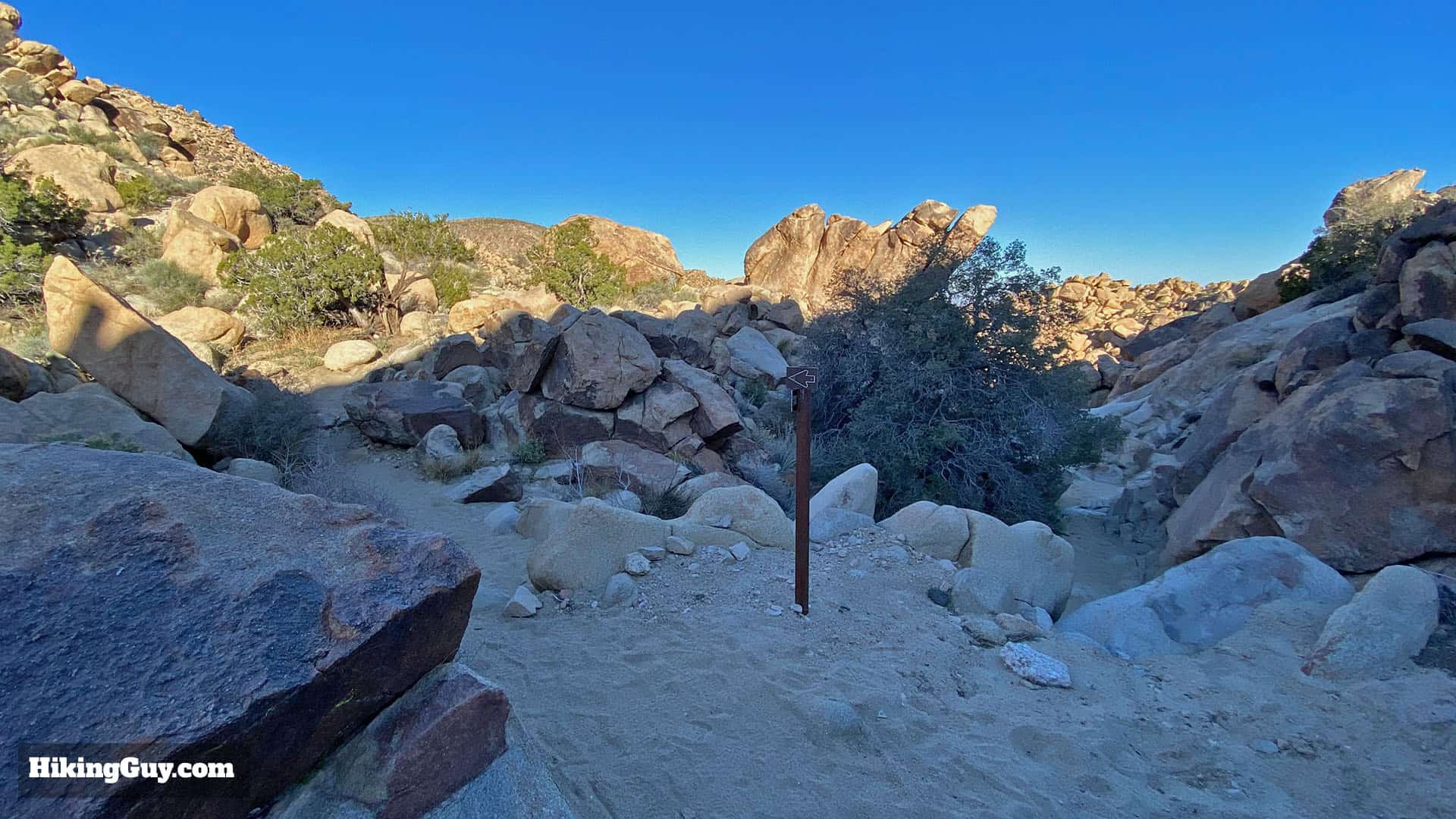
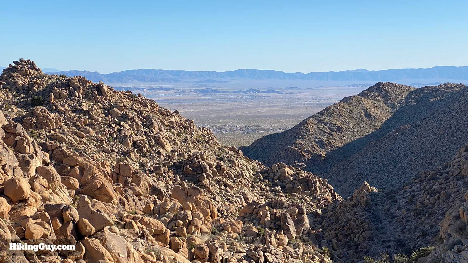
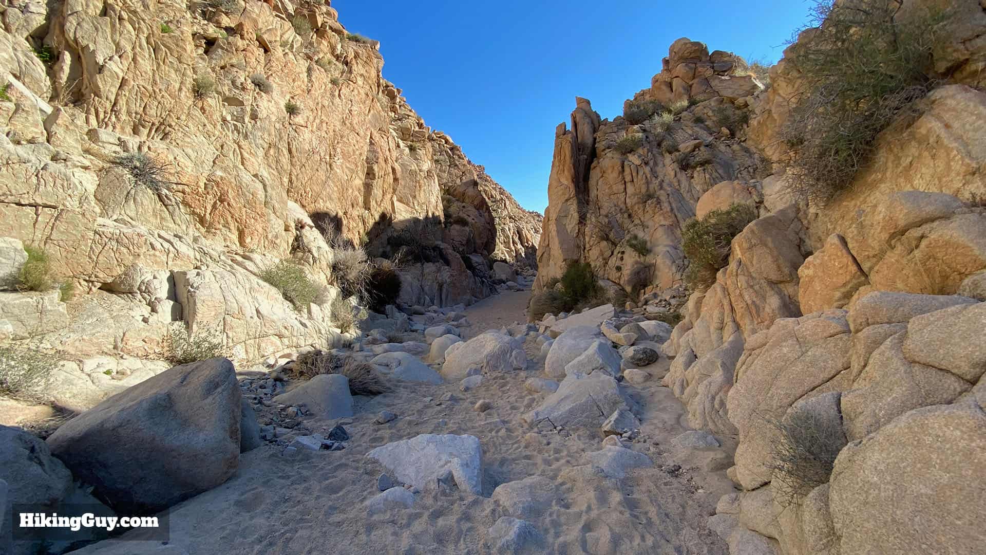
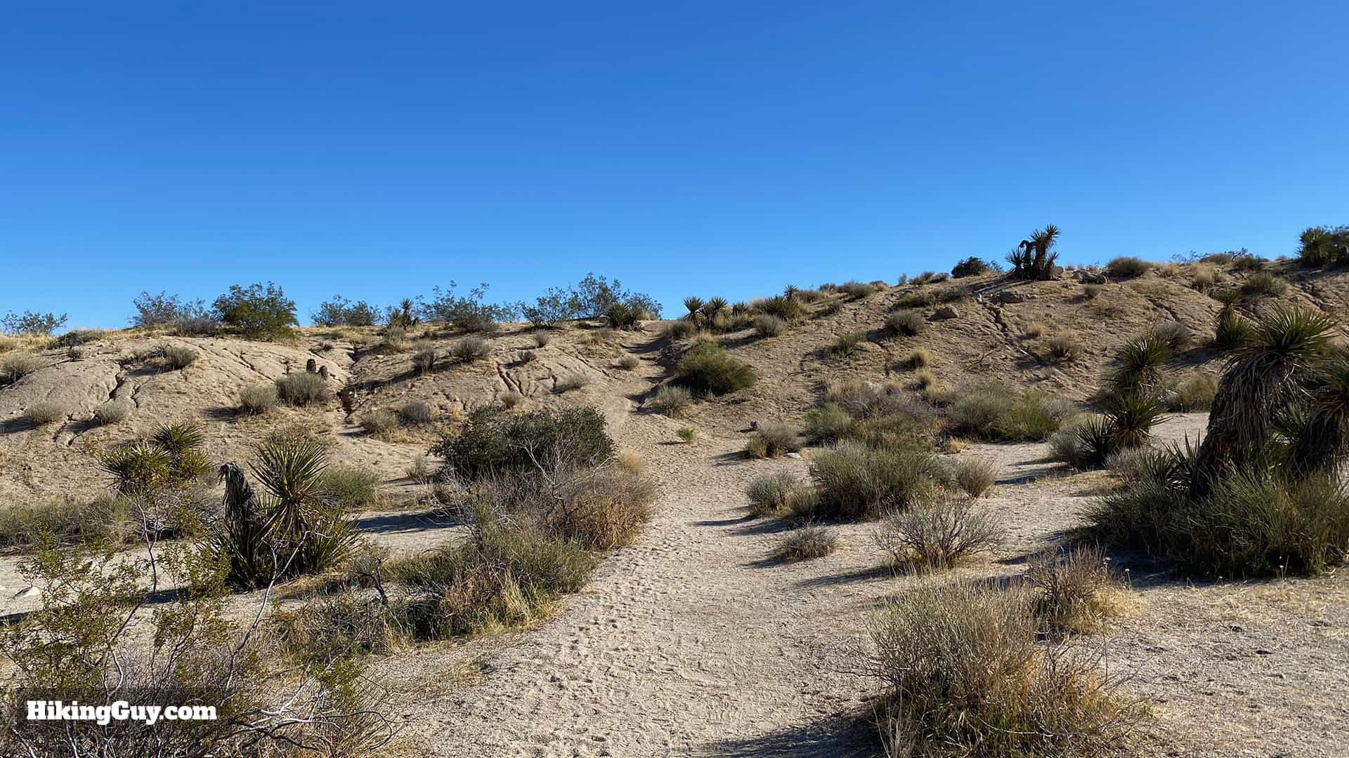
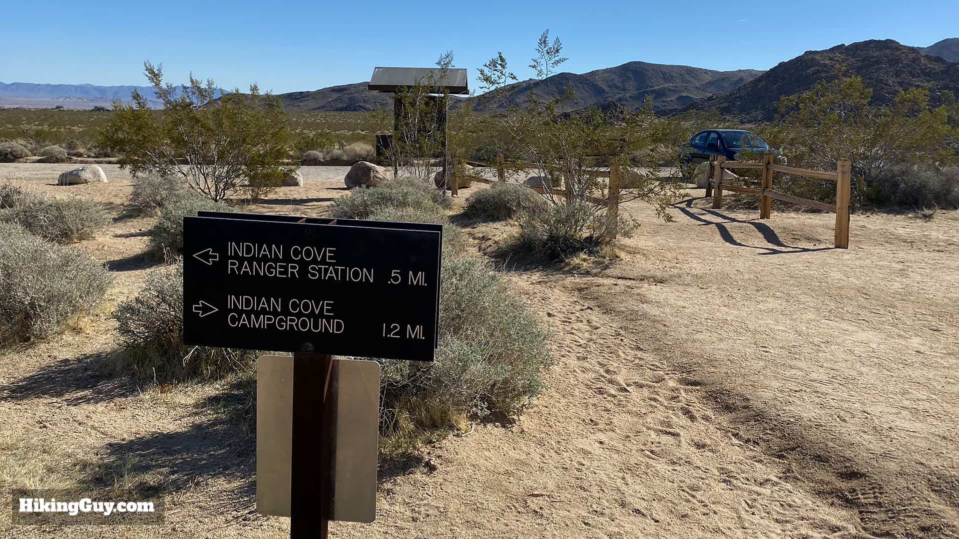
The hike starts at the main Keys West trail board by the toilet.Whoa! Today I saw a coyote right at the start!Soon after the start you'll see this mileage sign. We're heading to Indian Cove.Jackrabbit! Mornings are the best time to spot wildlife.The beginning of the hike has several side trails to climbing areas. Stay straight on the main Boy Scout Trail.Here's a closeup of the marker at that last junction. The climbing area access trails have posts with this little icon on it so that you don't get confused.Look left as you hike for nice views of San Gorgonio mountain, the highest point in Southern California.At the junction with the Willow Hole Trail, hike left to stay on the Boy Scout Trail.Right after the junction a sign confirms that you are in the right place.The next few miles are mellow and pretty flat, with lots of great Joshua Trees.As you approach the Wonderland of Rocks, the trail gets less sandy and rockier. More plants grow here because they can access water that pools in cracks in the rocks. An arrow trail marker helps you along. These arrow trail markers are scattered throughout the hike.The trail starts sloping downward and enters a wash.And soon you arrive at the junction with the Big Pine Trail off to your left. Continue right down the wash.Here's a closeup of the sign at the last trail junction.Keep hiking down the wash. You'll have to hop down boulders at some points, but it's not any time of a major rock scramble.You'll pass this water basin from an old mine that was here many years ago.Arrow markers lead you in and out of the wash.You'll start getting some glimpses down into Twentynine Palms.And now the trail starts descending through loose boulders.And there's more great views.And after about 4.5 miles you'll reach an epic viewpoint. If you're doing the shorter hike, you can turn around here. Otherwise enjoy the view and continue.The trail continues to wind down through the canyons.And there's one last section of steep switchbacks dropping you a few hundred feet through the rocks.At the end of the steep rocky descent, make the right into the wash. The spot is marked with an arrow.Keep hiking down the wash. Your path is confirmed by arrow markers.At points the wash gets fairly wide.And then narrows into slot canyons.And eventually you'll see this marker pointing you out of the wash and up to the right.The trail climbs for a second and then starts back down along the side of the hill.And soon you're back in the big, wide wash. Look for stones on the side of the trail like these to mark the way.Soon the trail in the wash transitions to just a regular trail again and you have a small climb.And then you have a long, gradual downhill to the Indian Cove trailhead. The trail is well-worn and easy to follow.Toward the end you'll see this sign for the campground and entrance station. If you need to refill your water, make a left at the road and walk down to the ranger station. The campground has no water FYI.And here you are at the Indian Cove Trailhead, the end of the hike. From here, turn around and go back the way you came to finish the hike.