Ryan Mountain Trail Hike
Hike Stats
- Total Distance
- 3 miles
- Time
- 1:30-2 Hours
- Total Climbing
- 1060 feet
- Difficulty
- Moderate
- Crowds
- Moderate
- Dogs
- No Dogs
- Gear
- What I Use
- Weather
- Latest Report
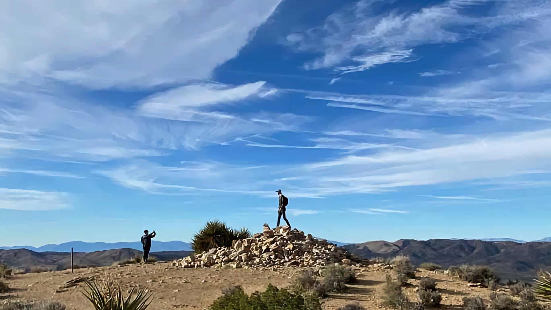
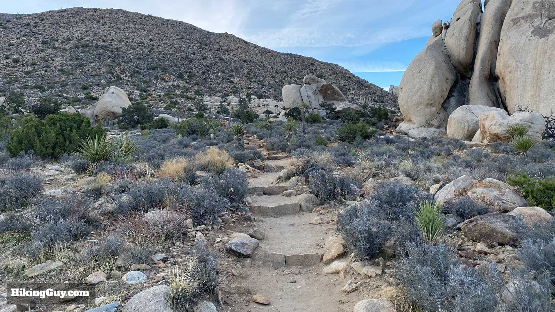
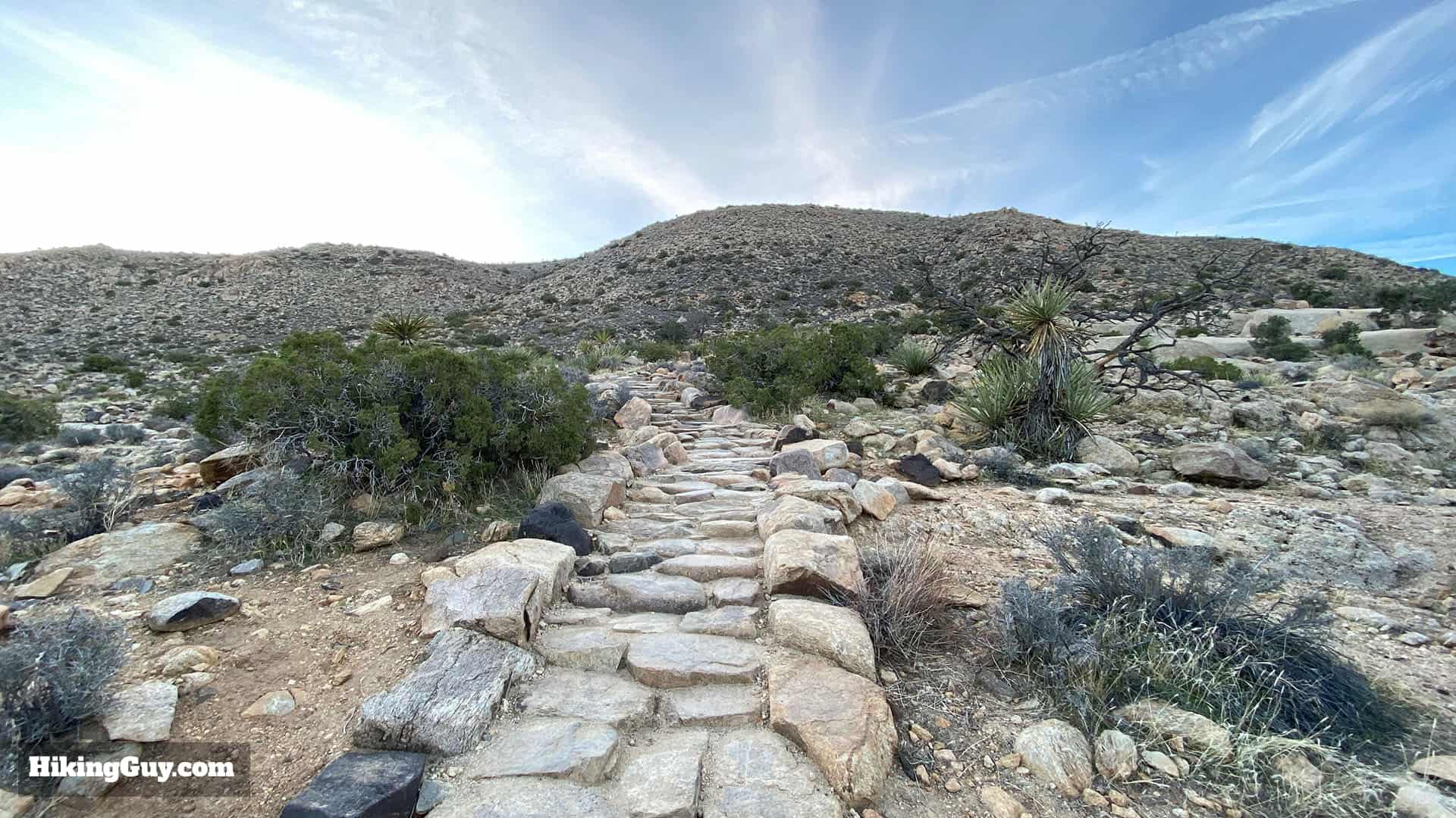
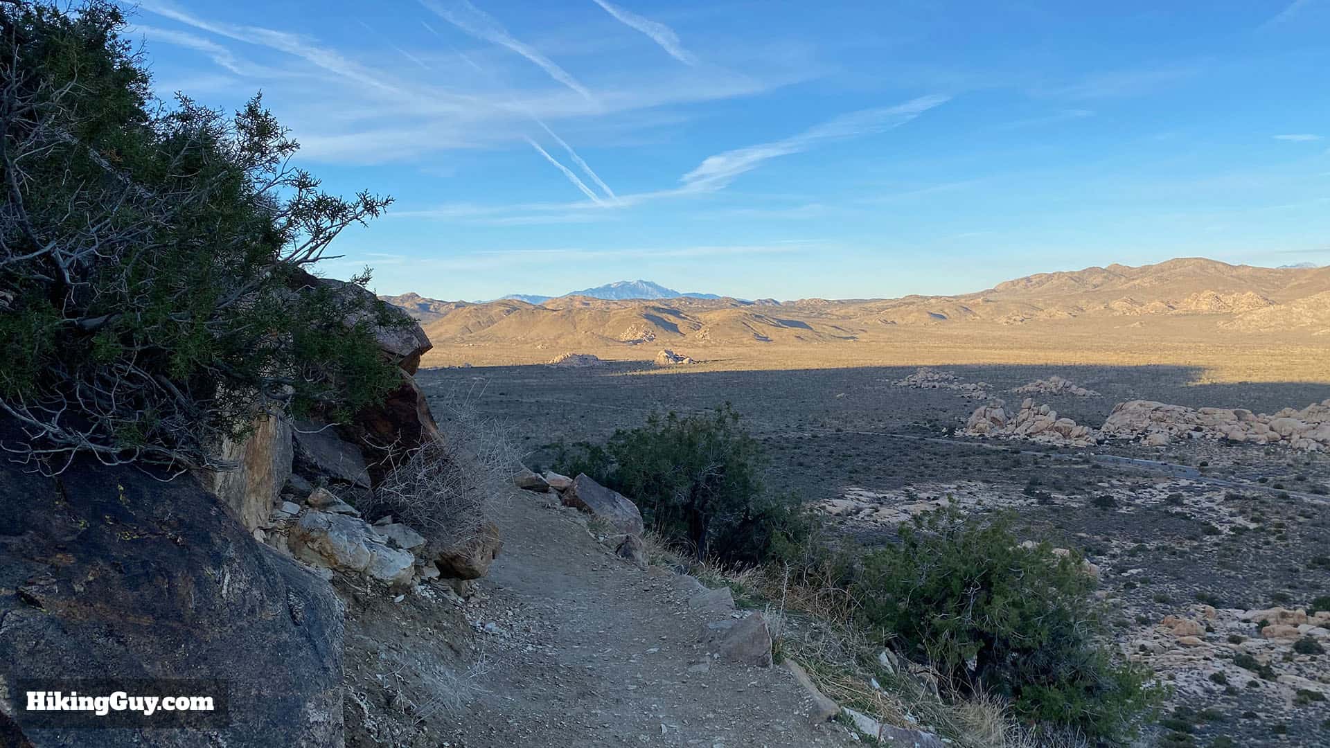
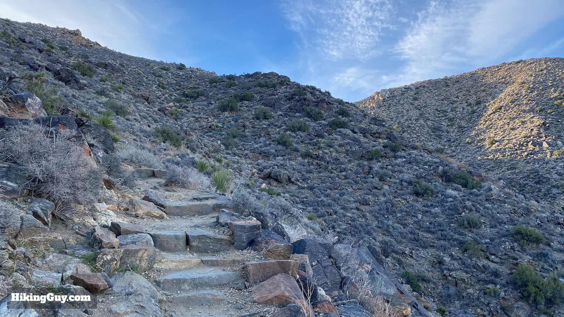
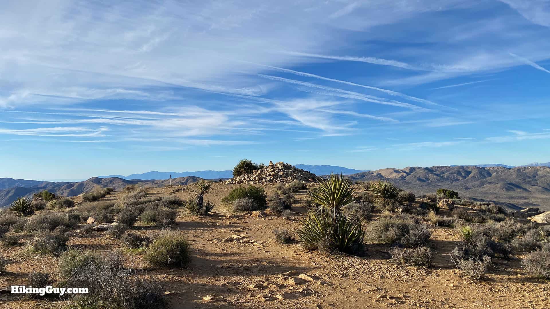
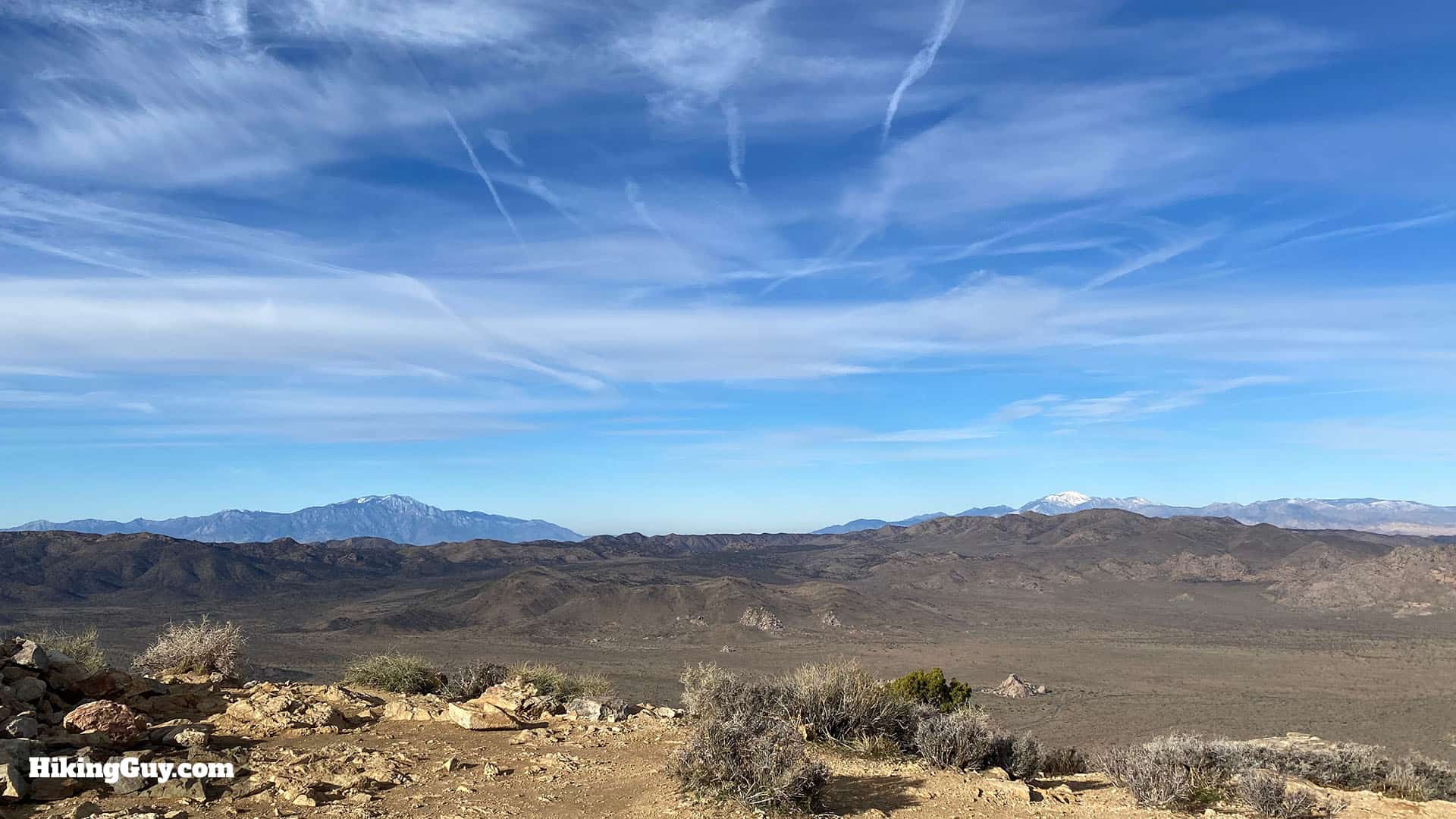
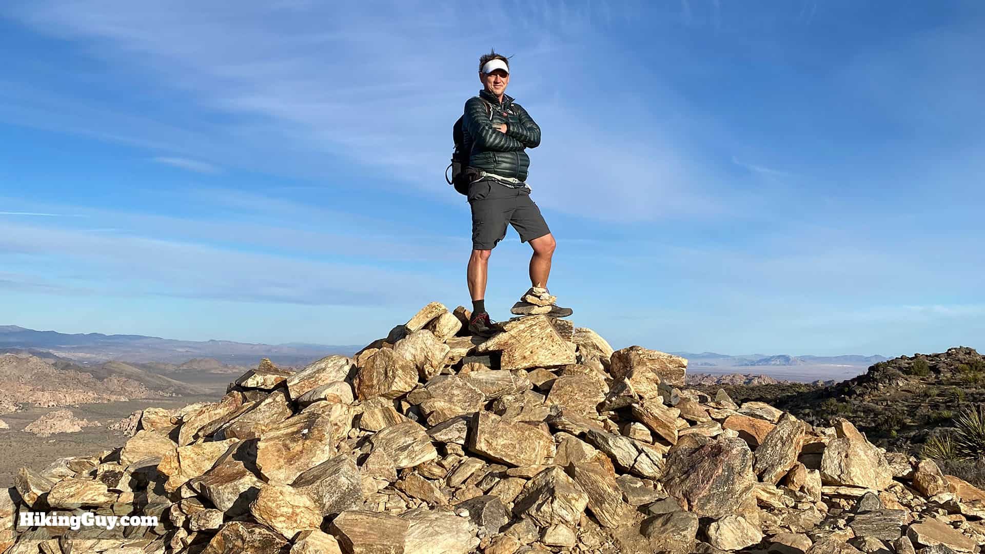
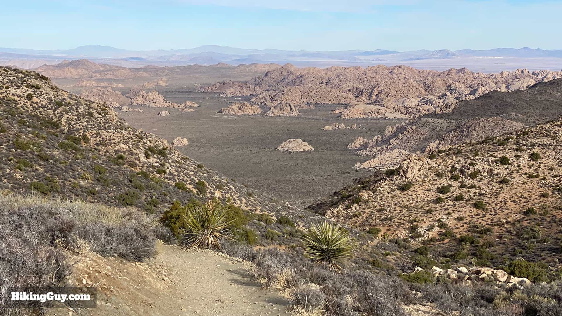
The Ryan Mountain Trail is one of the most popular hikes in Joshua Tree for a good reason. Ryan Mountain, at 5,457 feet, right in the middle of Joshua Tree, offers panoramic views as far as the eye can see. On a clear day you'll be able to see the massive peaks of San Jacinto and San Gorgonio, the highest point in Southern California. The actual trail is straightforward but tough, climbing 1,050 feet to the summit of Ryan Mountain. It's a must-do hike in Joshua Tree, so give it a try!
How to Get to the Ryan Mountain Trail
The Ryan Mountain Trail is located right in the middle of Joshua Tree Park on Park Blvd. Use this trailhead address:
Ryan Mountain Trail, Park Blvd, Twentynine Palms, CA 92277
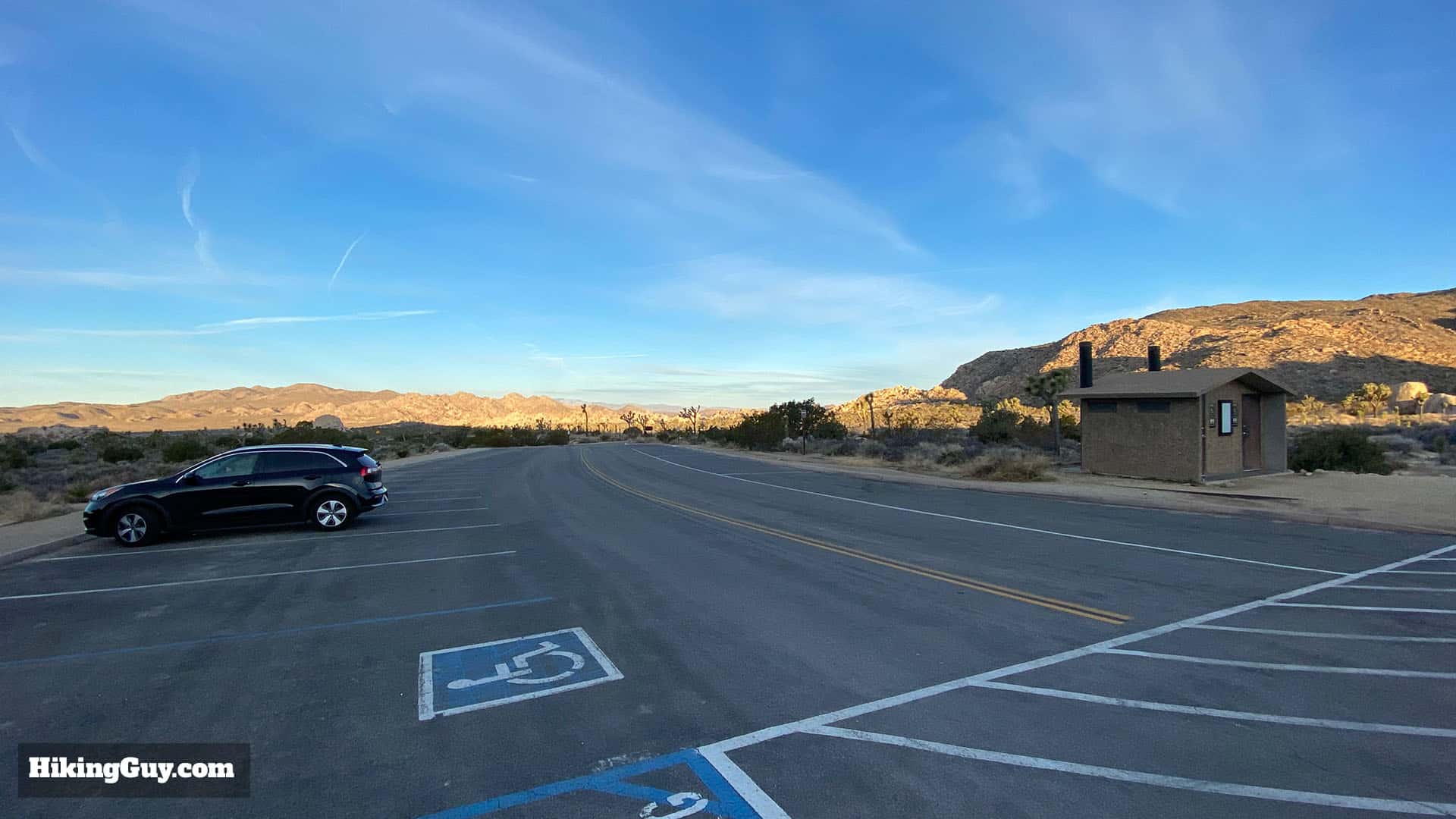
Ryan Mountain is the most popular hike in the park. Get here at dawn for the best experience.
Gear for the Hike
The Ryan Mountain Trail is pretty straightforward but it is tough. There is no shade and in the summer there have been emergency evacuations due to the heat. Bring at least 1L of water; when it's hot bring at least 2L. The trail is rocky and light hiking boots will be the best option for your feet. You can also do this hike in fitness clothes. I've seen folks do it in casual clothing but it won't feel great.
Essentials I’m Using Now
- Garmin inReach Mini 2: Reliable SOS Everywhere on Earth
- Sawyer + CNOC Water Filter: Easy & Reliable Safe Water
- Nitecore NU25 Headlamp: Running late? Get home safe
- AllTrails Plus (30% off): Good All-Around Hiking App
- Full October 2025 Gear List →
Ryan Mountain Trail Maps
Elevation Pr0file

3D Map
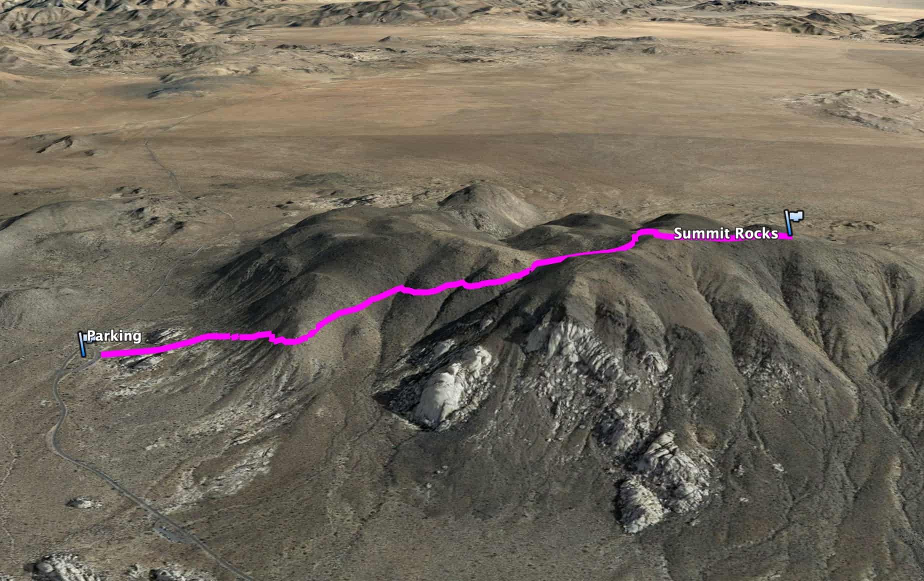
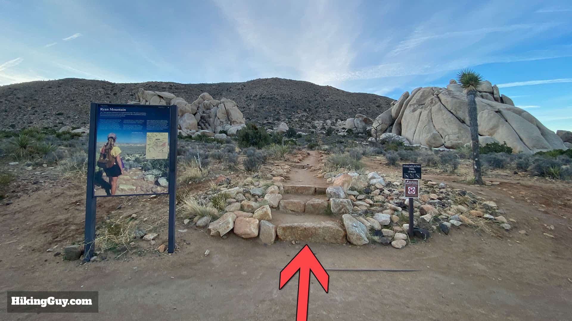
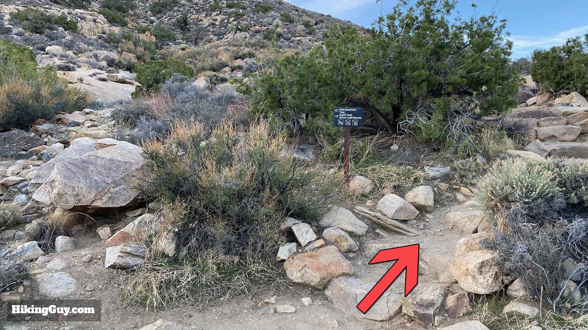
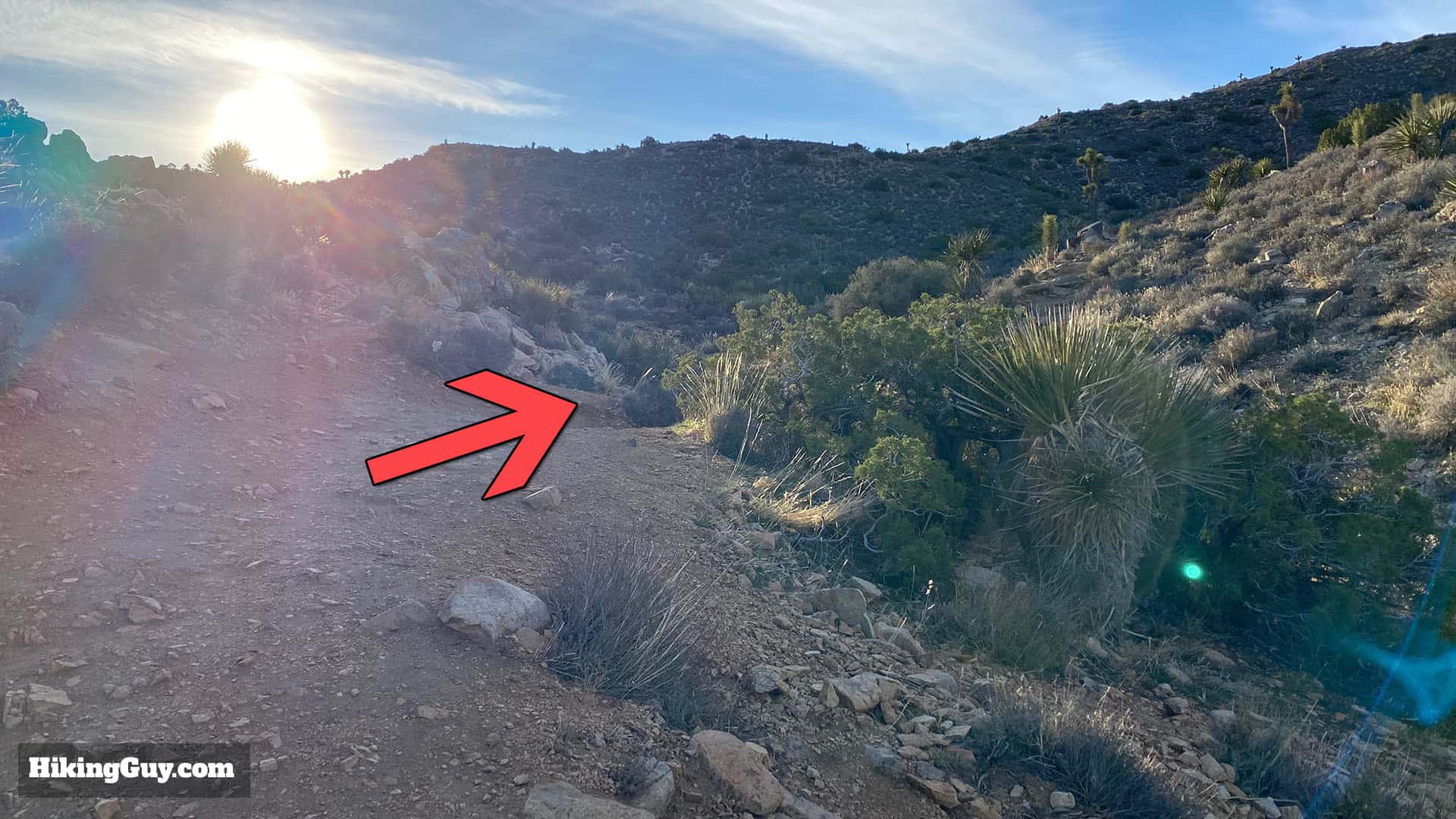
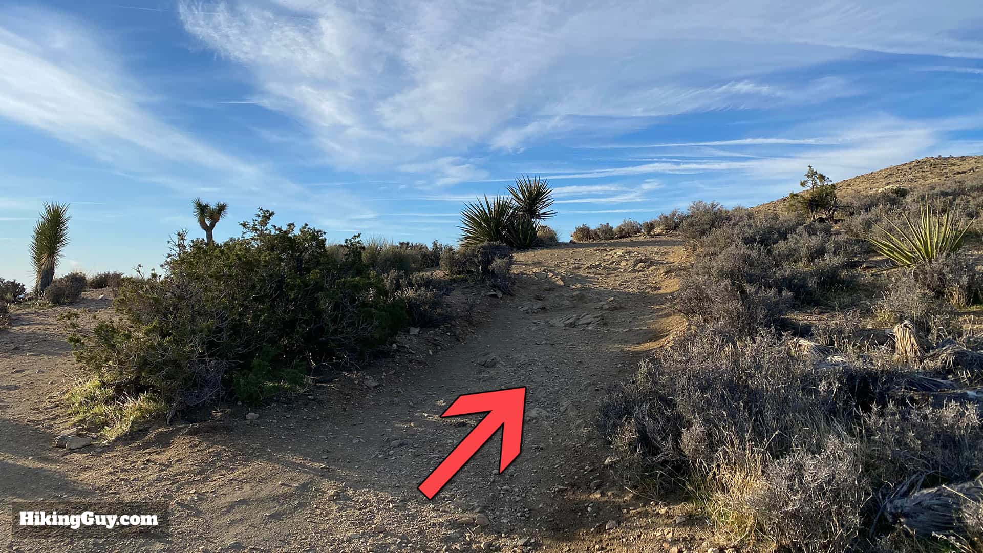
Ryan Mountain Trail Hike Directions
Ryan Mountain is named after J.D. Ryan, who started a mill to crush stone here for miners in 1895. The steam mill required wood from the neighboring landscape to run, and the deforestation from the mill is still evident today in the park, over 100 years later.
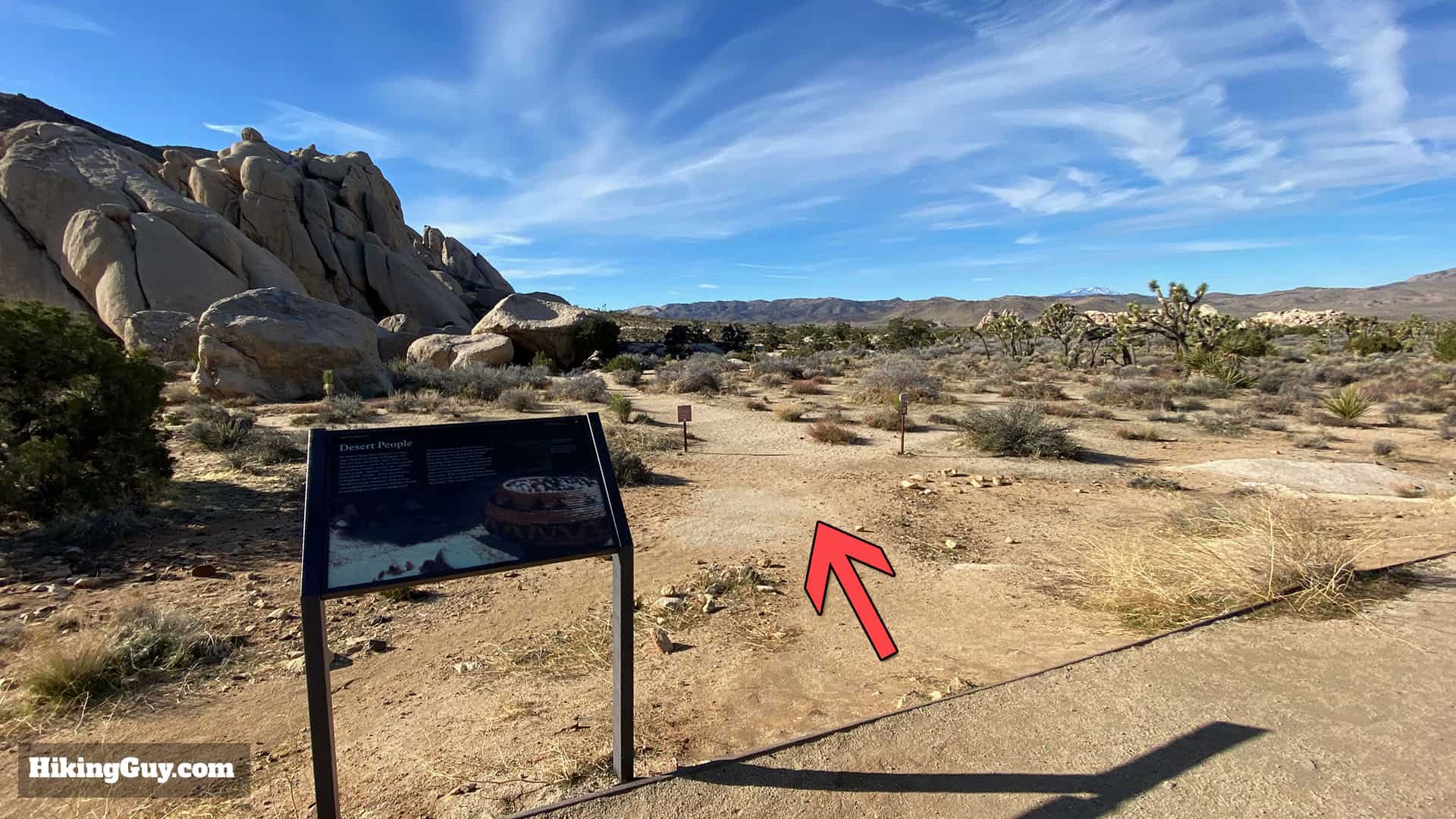
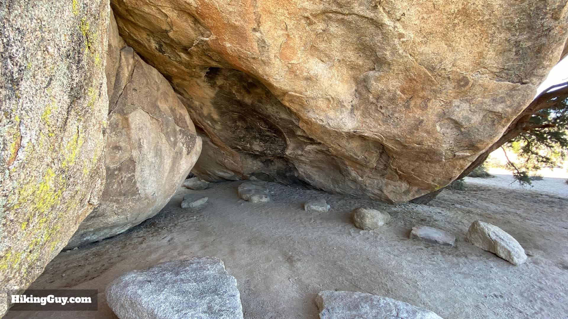
Native Rock Shelter
When you get back to the parking lot, don't forget to visit the Native American rock shelter a minute away from the lot.
Originally published February 18, 2020