A hike on the Mastodon Peak Trail loop is a fun way to explore the rugged southern part of Joshua Tree National Park without a huge effort. You'll hike on sandy trails that are more Sonoran than most trails in Joshua Tree, then hike up stairs carved in the stone to the base of Mastodon Peak. It's an easy scramble to the top of Mastodon Peak where you are treated to panoramic views of the desert and mountains. After that, the hike passes the abandoned Mastodon Mine on a long easy downhill back to the finish.
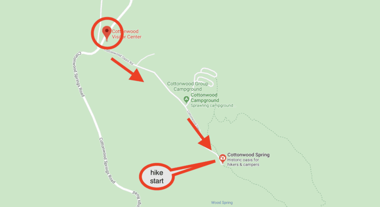
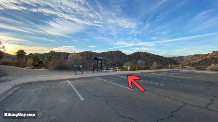
The Mastodon Peak Trail is in the southern part of Joshua Tree National Park and uses the Cottonwood Spring parking area as the trailhead. Parking can get crowded quickly. Arrive at sunrise for the best hike (and parking!) experience.
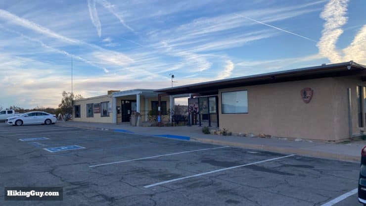
When you first turn off the main road to the trailhead, you'll pass the Joshua Tree NP Cottonwood Visitor Center. If you need to fill up with water or use the bathroom, this is your only option before continuing the short drive to the trailhead.
From the Visitor Center it's a short drive down to the trailhead. You'll pass a campground and then reach Cottonwood Spring.
There is no backcountry camping in this section of the park because it's a protected area for bighorn sheep. If you want to camp, you can stay at Cottonwood Campground.
Gear for the Hike
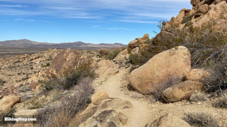
The trail is sandy and exposed. Having hiking shoes or boots will help with your footing. On the climb trekking poles come in handy. Bring at least 1L of water and avoid the hike in the hot summer periods.
Gear That I Love Right Now
Nothing is sponsored or promoted, just the actual gear that I use.
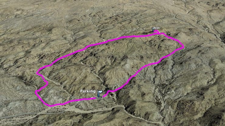
The trail is well marked and easy to follow. Having a GPS with the track loaded (downloadable below) will help pinpoint your position if you get confused in any spots. My route follows the loop trail in the counterclockwise direction, which I find more enjoyable and easier.
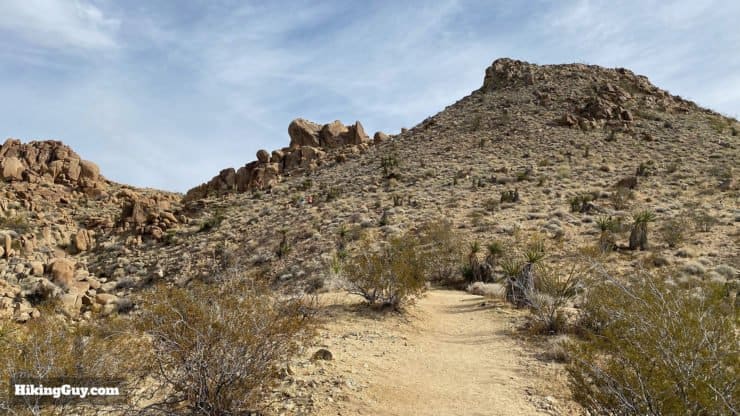
From this view the trail looks like a big mountain climb, but just remember that it's only a few hundred feet tall. The first part of the hike has some steep sections but then you have a nice cruise back to the start.
3d Map
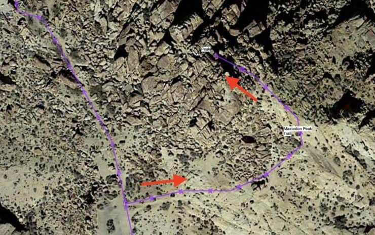
Here in this view you can see that the climbing isn't too bad. The loop follows the Lost Palms Oasis trail and then turns off and up to the summit of Mastodon Peak. From there you continue the loop hike back to the Cottonwood Spring parking area.
Mastodon Peak Trail Hike Directions
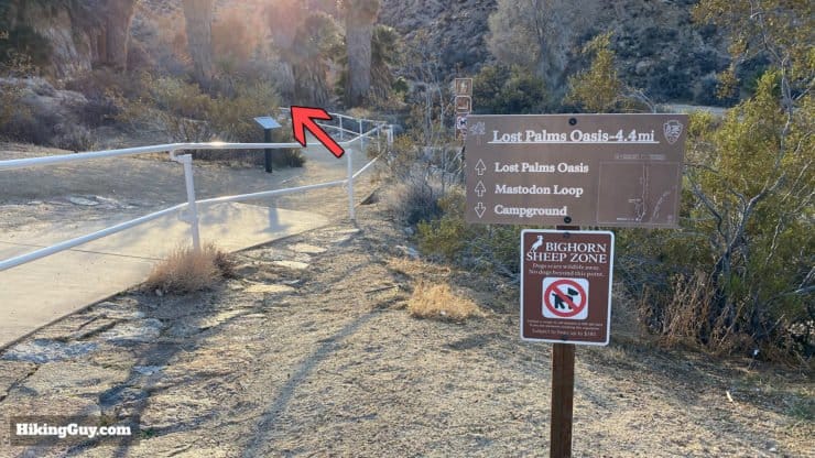
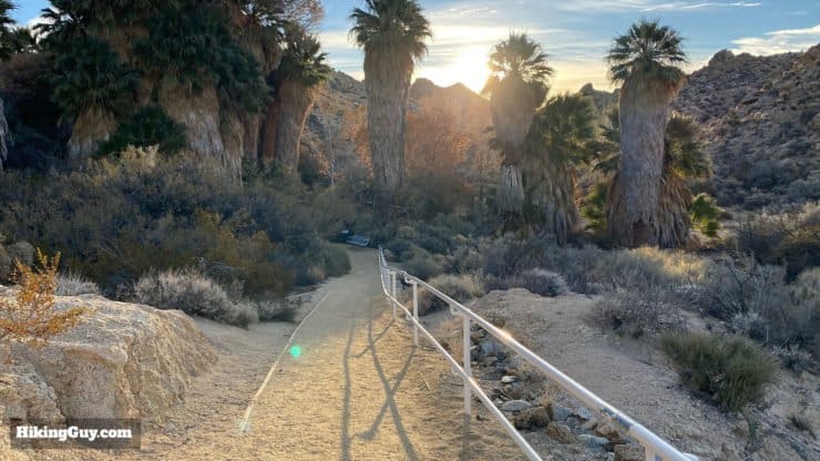
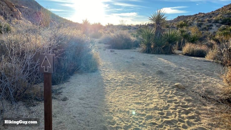
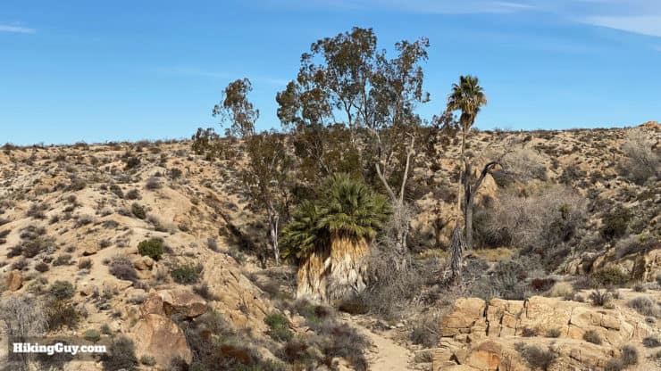
The trail starts at the far end of the Cottonwood Spring parking area.Follow the main trail towards Lost Palm Oasis.The well-marked trail makes its way through the Cottonwood Spring area. Cottonwood Spring is one of the few water sources in the area.
In the spring Cottonwood Spring can become an explosion of wildflowers. Even if you don't see any wildflowers, the California Fan Palm trees that you see are pretty rare, only growing where there is a permanent water source. Because you are at the lower elevations in the Sonoran Desert here in Joshua Tree National Park, there are no Joshua Trees (they grow at higher elevations).
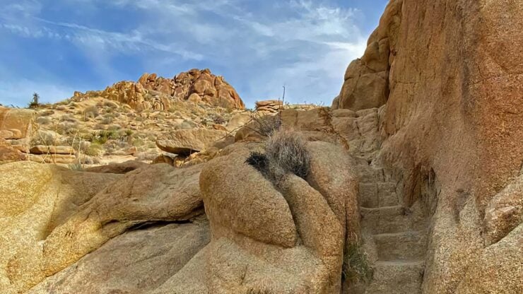
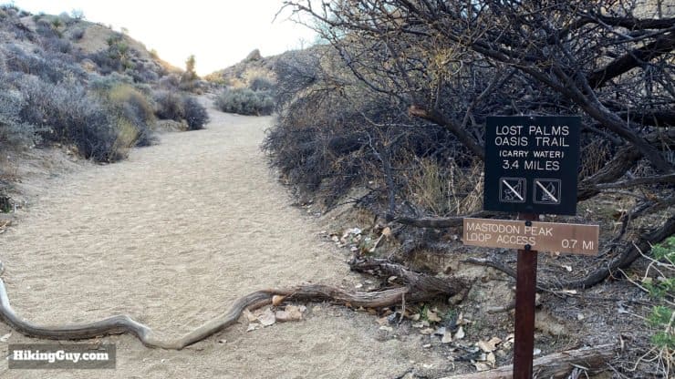
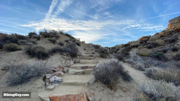
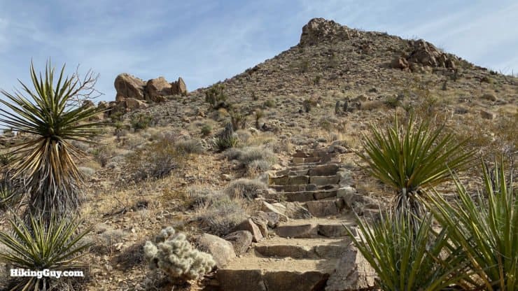
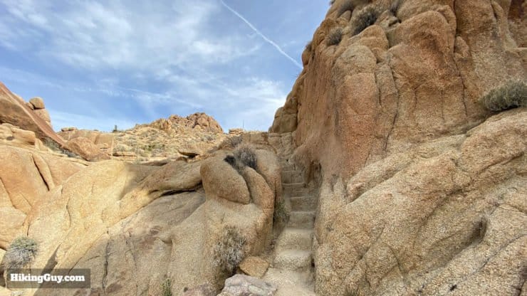
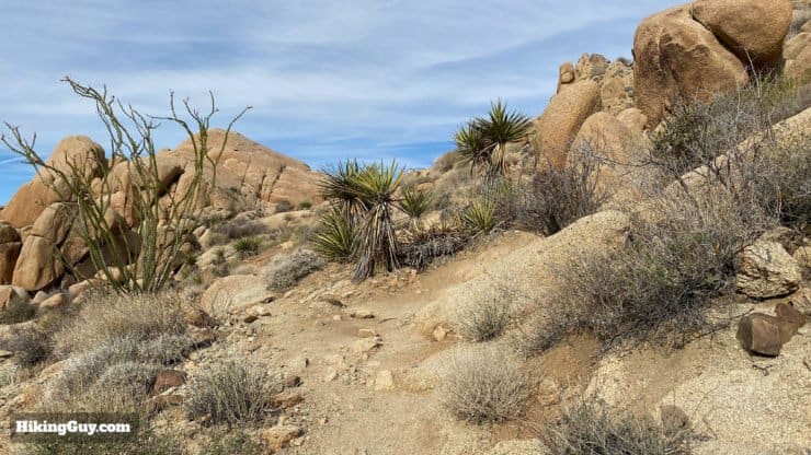
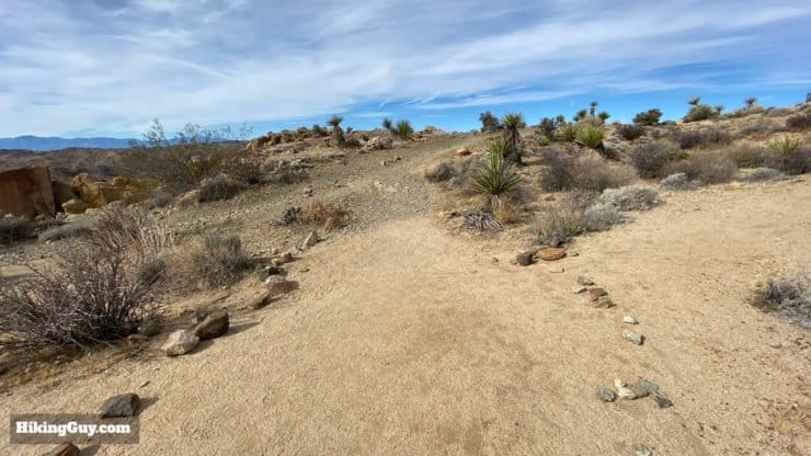
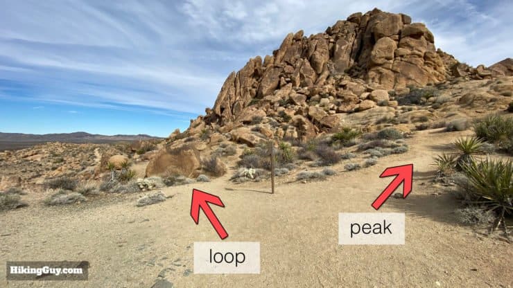
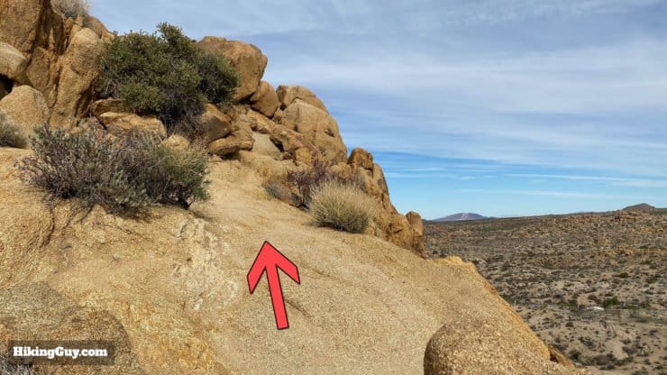
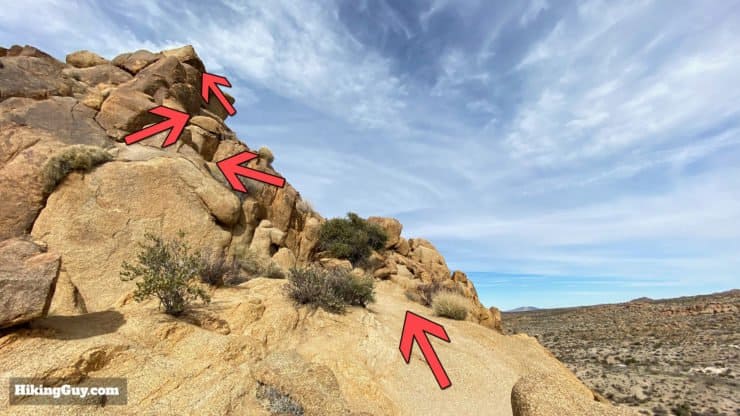
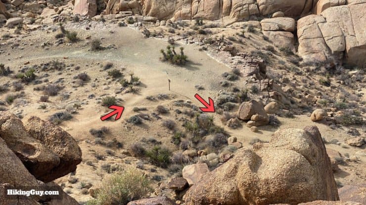
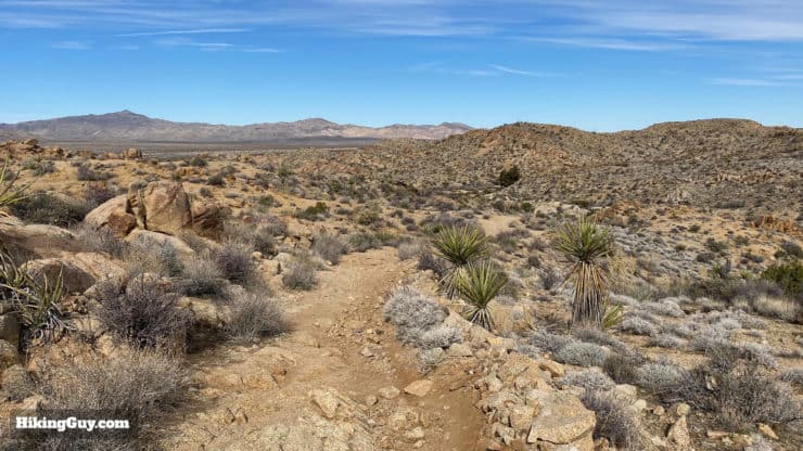
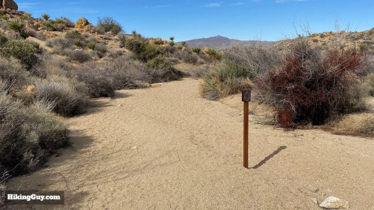
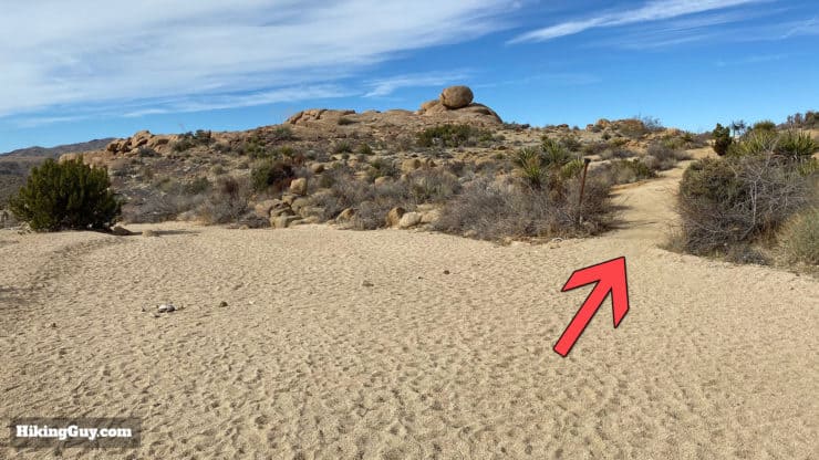
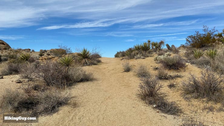
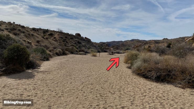
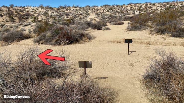
After the oasis area, the trail turns sandy and generally continues straight. You'll also see signs for the Mastodon Peak Loop.There's some light climbing, and stairs help out in places.Keep following the trail. There are occasional trail arrow signs and rocks along the sides of the trail that confirm where the trail is.At about 0.7 miles you'll reach the junction for the Mastodon Peak Loop Trail. Make the left and continue up toward Mastodon Peak.The trail gets steeper between here and the peak.Wind your way up on the trail which includes stairs.These stairs carved into the rock are my favorite part of this section. Keep heading up. That's Mastodon Peak in the distance.When there are no stairs the trail has some twists and turns.Don't forget to look back and up for the main trail.Soon the trail levels out as you approach the peak.When you reach the junction, you can either continue on the loop or scramble about 0.1 miles to the peak, which I recommend. The scramble isn't too bad; you can always stop if you get scared.
It's called Mastodon Peak because early miners thought this monzogranite rock formation looked like a mastodon head.
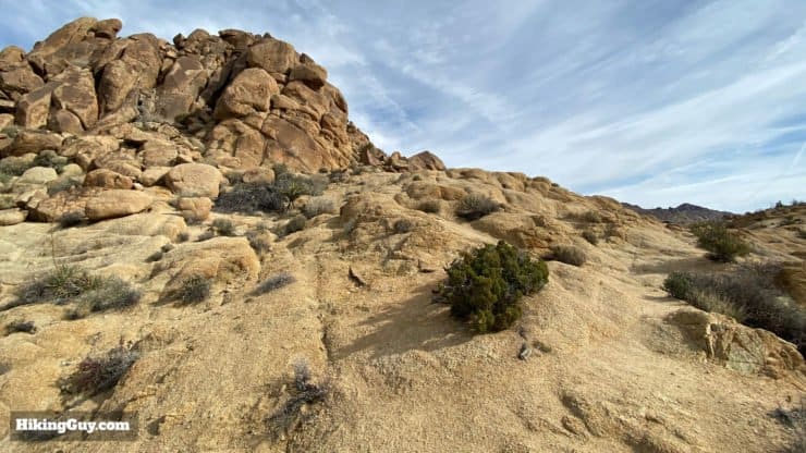
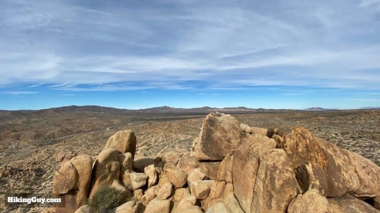
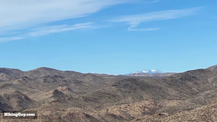
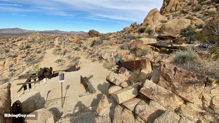
To get to the peak, follow the worn path around to the east and then northwest.Here's a map view of the route up to the top.Follow the worn path around the side.And then up the rocks to the top. Although you have to pull yourself up some small boulders, there is no point where you hang off an edge or otherwise do anything very dangerous. It looks worse than it is. Just take it one step at a time and if you are scared or confused, go back down the way you came.From the top you'll get sweeping views throughout Joshua Tree. To the south, the Salton Sea, to the east, Eagle Mountain, to the north, the Pinto Mountains, and to the west, the Cottonwood Mountains.On a clear day you'll also be able to see San Jacinto Peak to the west, rising above the Cottonwood Mountains.When you're done on the peak, head back down to the last junction and continue on the loop trail.The trail is easy to follow just past the junction.And soon you'll see the Mastodon Mine in front of you.
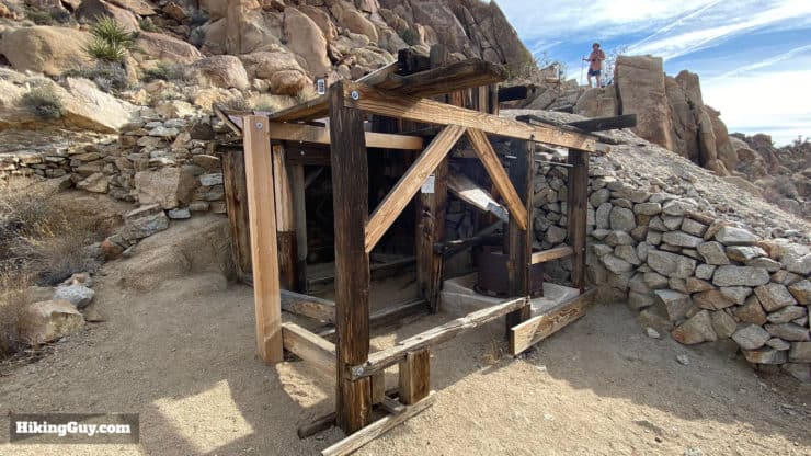
Mastodon Mine, a gold mine, was in operation intermittently between 1930 and 1971. There are 288 abandoned mines in Joshua Tree National Park, most are gold mines, and most were unsuccessful. People have laid mining claims in this area as late as 1998.
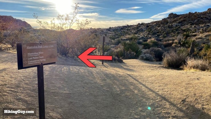
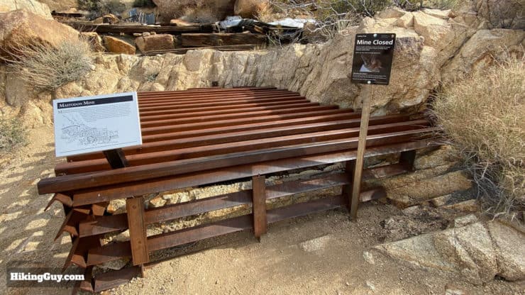
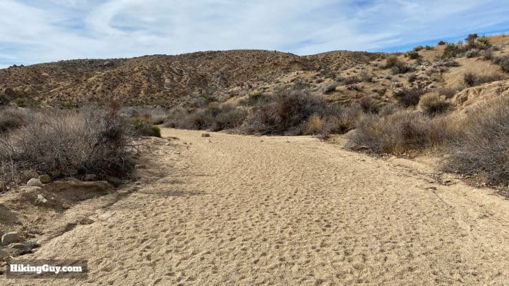
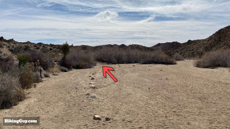
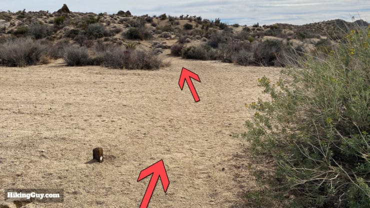
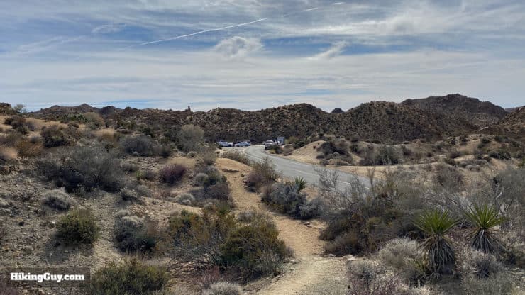
The main mine shaft, which goes down 45 feet on an incline, has been caged over to keep out visitors who don't think the rules apply to them. A few years ago Joshua Tree had a problem with visitors taking home artifacts from mining sites. The park had to remove any all loose mining items from the abandoned mines to preserve them.There's also a lower mine structure as you leave the area.After the mine, continue down the trail.The trail enters and follows a wash. There are a few sections like this on the way back. Look for signs and rocks to help lead the way.At the end of the first wash, rocks across the main area help you find the trail which splits off to the right.The trail goes over a small rise.And then enters another wash, which you exit again to the right.Keep your eyes open to the right to spot another unnamed palm oasis.When you get to this junction, make the hard left.You'll be following this wide wash almost the whole way back to the start.Soon you'll see the road to the trailhead off to your right. Follow the trail off the wash where you see these stones.A low trail maker confirms that you're in the right place. Continue along the trail. The road is not far to your right.Soon the trail will rejoin the road and you arrive at the parking lot where you started. That's the hike!
Need More Info?
Have a question about the guide or want to see what other people are saying/asking? View the Youtube comments for this video. Leave a comment and I will do my best to respond.
When planning, always check the park website and social media to make sure the trails are open. Similarly, check the weather and road conditions.


 Using the Apple Watch for Hiking
 Garmin Fenix 7 & Epix Review For Hikers
 How To Read a Topographic Map
 Garmin GPSMAP 67i Review
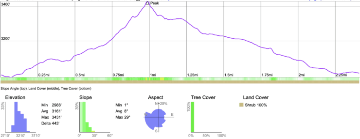
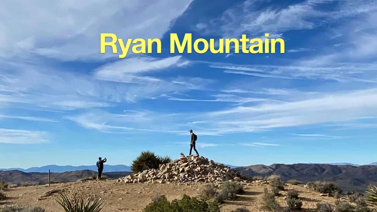 Ryan Mountain Trail Hike
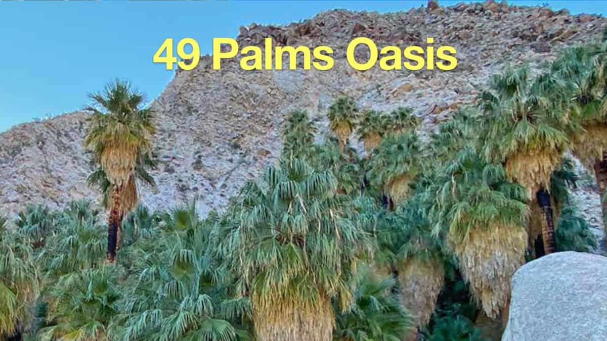 Hike the 49 Palms Oasis Trail
 Hike Lost Palms Oasis Trail
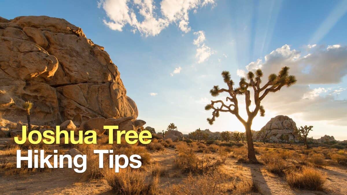 Joshua Tree Hiking Tips
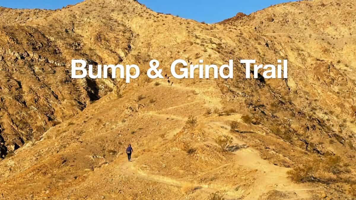 Bump and Grind Trail Guide (Palm Desert)
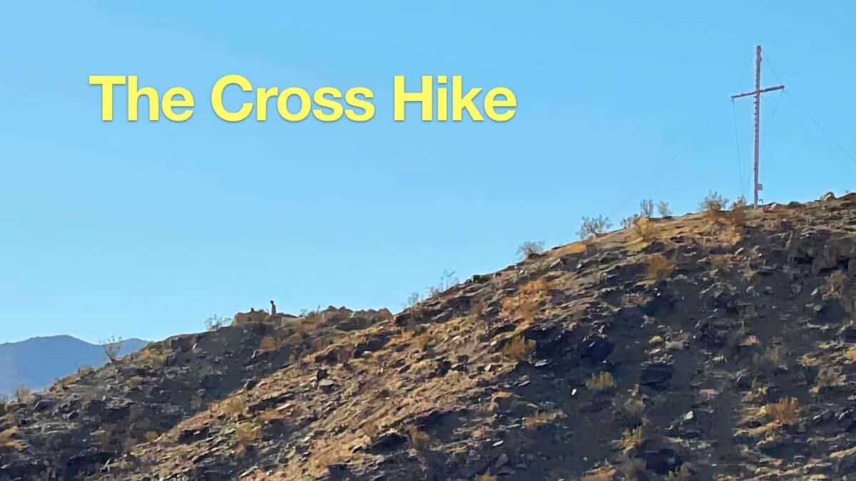 The Cross Hike (Palm Desert)
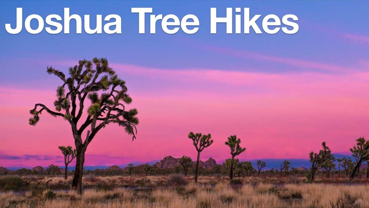 Joshua Tree Hikes
 Palm Springs Hiking Trails
 Hikes In and Around Riverside County
 Best Hiking Gear 2024
 Hiking Boots or Shoes: Do I Really Need Hiking Boots?
 When to Hit SOS on inReach