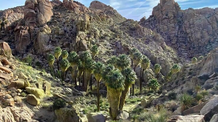

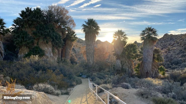
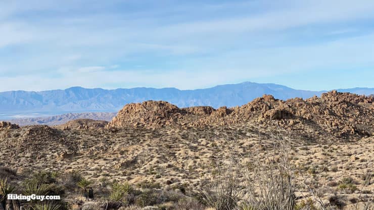
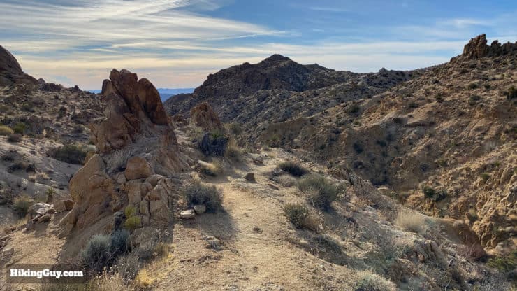
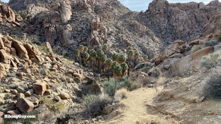
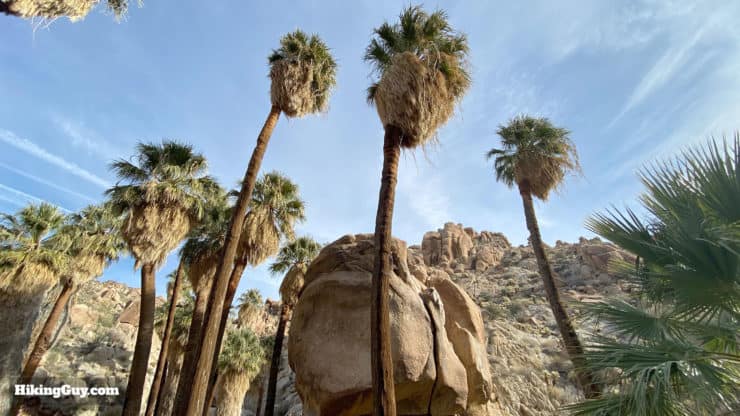
Hiking the Lost Palms Oasis Trail in Joshua Tree National Park is a unique experience. The trail is in the southern part of the park, which has more of a Sonoran Desert feel than the majority of hikes in the northern part of the park. You won't see any Joshua Trees on the Lost Palms Oasis Trail, but you will see the park's largest grove of California fan palm trees, tucked into a hidden canyon. There are no big climbs as you make your way over the ridges and washes through the desert. It's a fun desert hike that's worth your time.
- Lost Palms Oasis Trail Turn-by-Turn Directions & Video
- How to Get to Lost Palms Oasis Trail
- Everything You Need to Know to Plan Your Hike
Where Is The Lost Palms Oasis Trail?
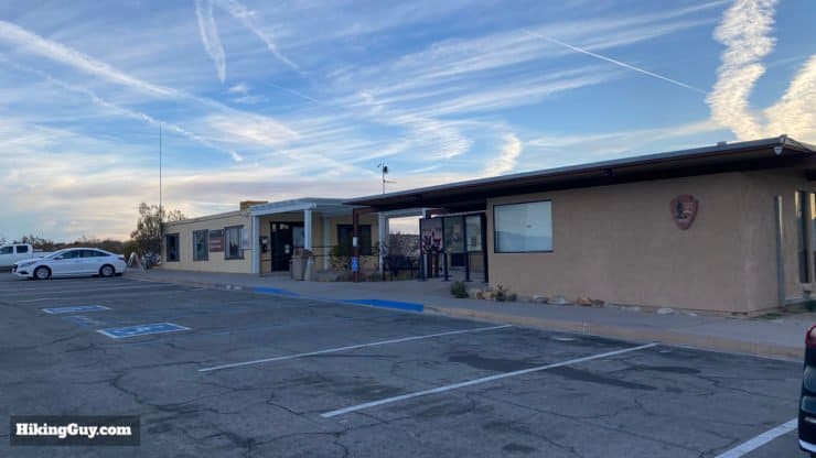
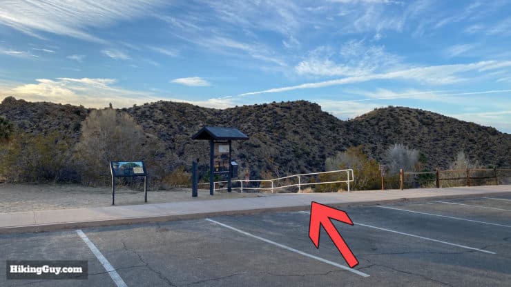
The Lost Palms Oaisis Trail is in the southern part of Joshua Tree National Park and uses the Cottonwood Spring parking area as the trailhead. Parking can get crowded quickly. Arrive at sunrise for the best hike (and parking!) experience.
Use this trailhead address:
Cottonwood Spring, Lost Palms Oasis Trail, Twentynine Palms, CA 92277
Instead of paying the park entry fee, just get a National Parks Pass.
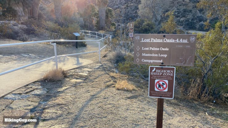
There is no backcountry camping in this section of the park because it's a protected area for bighorn sheep. If you want to camp, you can stay at Cottonwood Campground.
Gear for the Hike
The hike to Lost Palms Oasis takes a few hours through the desert, so prepare accordingly. I wear regular hiking gear, carry 3L of water, and have hiking boots. I also recommend a GPS unit with this hike's GPX file loaded (available below) in case you get confused or lost. Don't do this hike in the hot summer months. There is no shade or protection from the sun.
Gear That I Love Right Now
Nothing is sponsored or promoted, just the actual gear that I use.


Check out the complete list here. ( Updated October 2024)
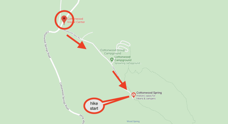
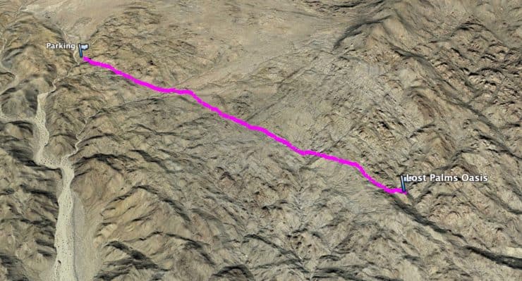
Lost Palm Oasis Trail Maps
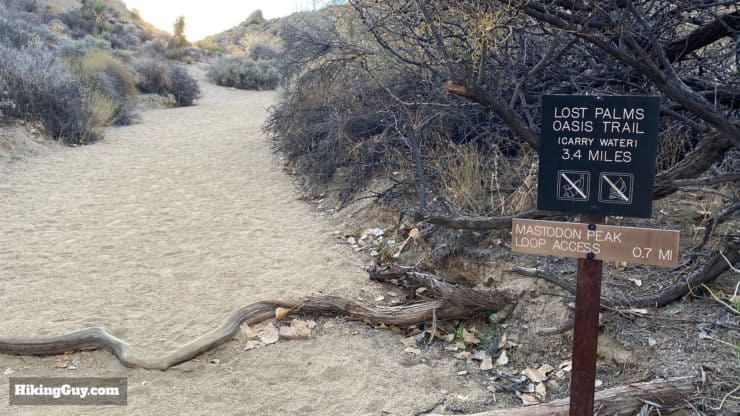
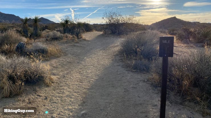
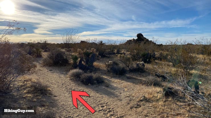
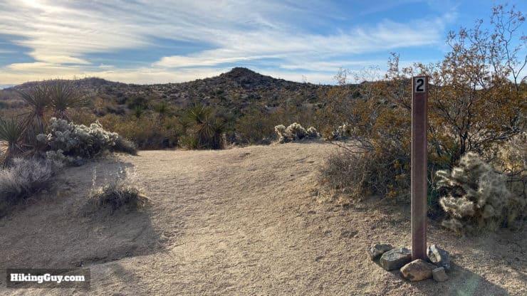
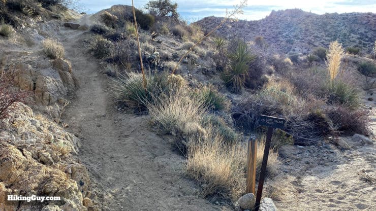
The trail to Lost Palm Oasis is marked and maintained by the Parks Service. There are signs along the route, and there are also stones that block off side trails. Make sure you pay attention to the route. When you hike back, you'll have to do it in reverse, and it's easy to take an incorrect trail mistakingly. And again, having a GPS will be helpful as you make your way across the desert.
How Will You Navigate?
 Using the Apple Watch for Hiking
 Garmin Fenix 7 & Epix Review For Hikers
 How To Read a Topographic Map
 Garmin GPSMAP 67i Review
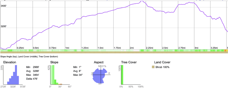
Elevation Profile
3d Map
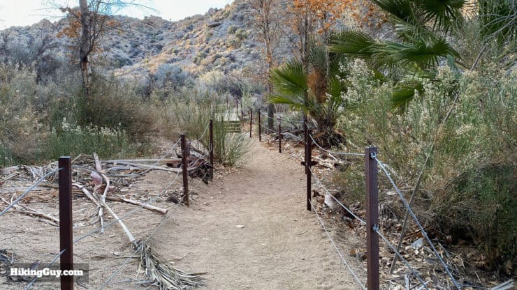
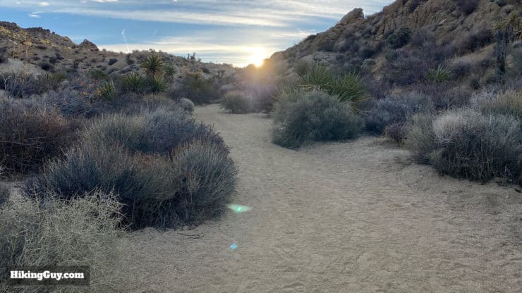
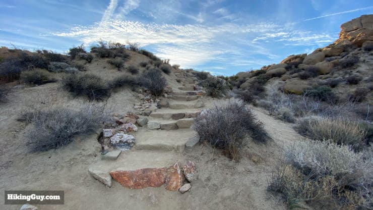
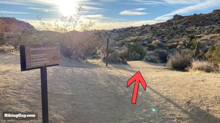
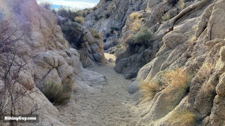
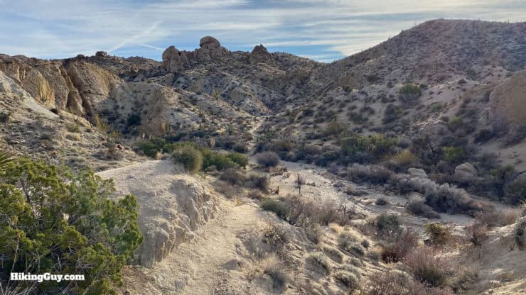
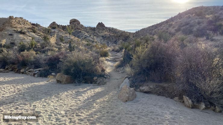
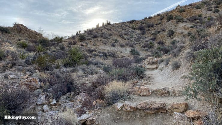
Lost Palms Oasis Trail Hike Directions


From here, just hike back the way you came.
Need More Info?
- Have a question about the guide? Join my Patreon and ask me a question.
- When planning, always check the park website and social media to make sure the trails are open. Similarly, check the weather and road conditions.
- Do you have an update to this guide? View the Youtube comments for this video. Leave a comment and I will do my best to update the guide.
Related Guides
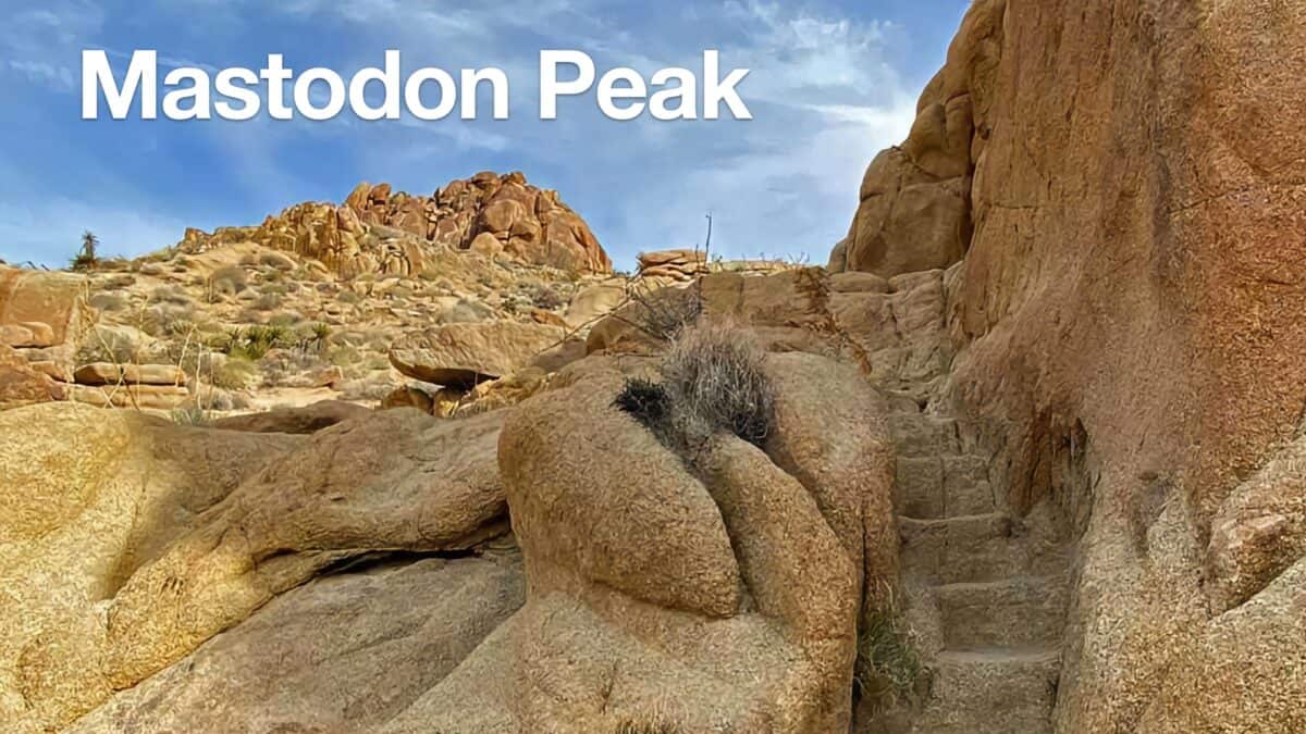 Hike Mastodon Peak Trail
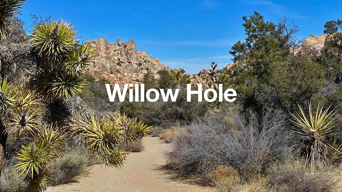 Hike Willow Hole (Joshua Tree)
 Hike the 49 Palms Oasis Trail
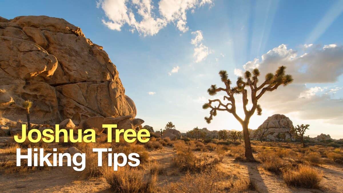 Joshua Tree Hiking Tips
 Pushawalla Palms Trail Loop
 Bear Creek Oasis Trail Guide
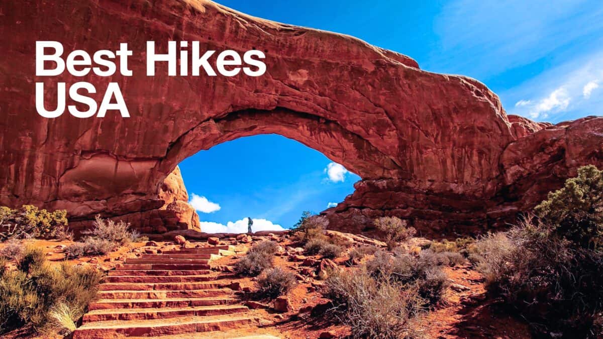 Best Hikes in the US
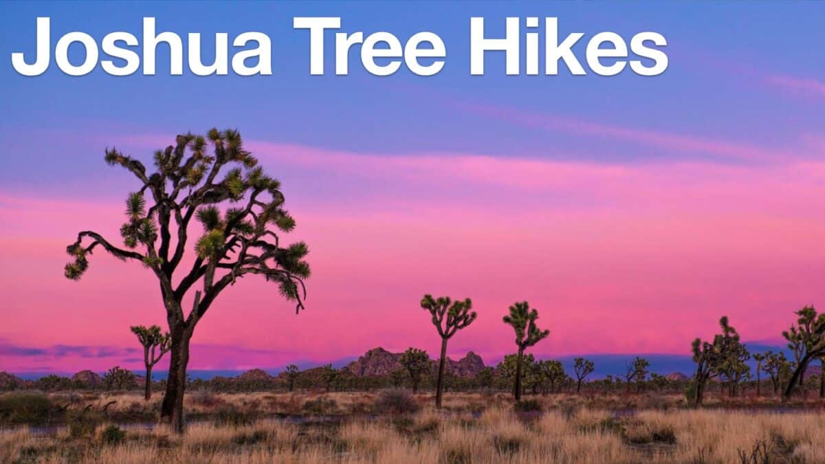 Joshua Tree Hikes
 Palm Springs Hiking Trails
 Hikes In and Around Riverside County
Popular Guides
 Best Hiking Gear 2024
 Hiking Boots or Shoes: Do I Really Need Hiking Boots?
 When to Hit SOS on inReach
This Guide Was Written by Cris Hazzard

Hi, I'm Cris Hazzard, aka Hiking Guy, a professional outdoors guide, hiking expert, and author based in Southern California. I created this website to share all the great hikes I do with everyone else out there. This site is different because it gives detailed directions that even the beginning hiker can follow. I also share what hiking gear works and doesn't so you don't waste money. I don't do sponsored or promoted content; I share only the gear recommendations, hikes, and tips that I would with my family and friends. If you like the website and YouTube channel, please support these free guides (I couldn't do it without folks like you!). You can stay up to date with my new guides by following me on YouTube, Instagram, or by subscribing to my monthly newsletter.