Hike Brown Mountain Dam (Arroyo Seco)
PLAY VIDEO

Hike Brown Mountain Dam (Arroyo Seco)

Distance: 7.4 miles
Time: 3-4 Hours
Total Climbing: 640 feet
Difficulty: Easy
Crowds: Moderate
Dogs: Leashed

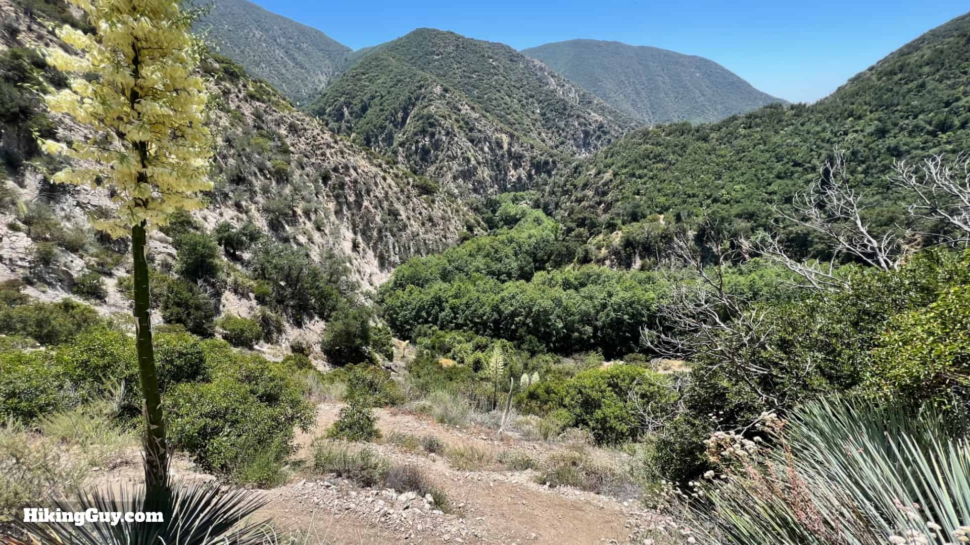
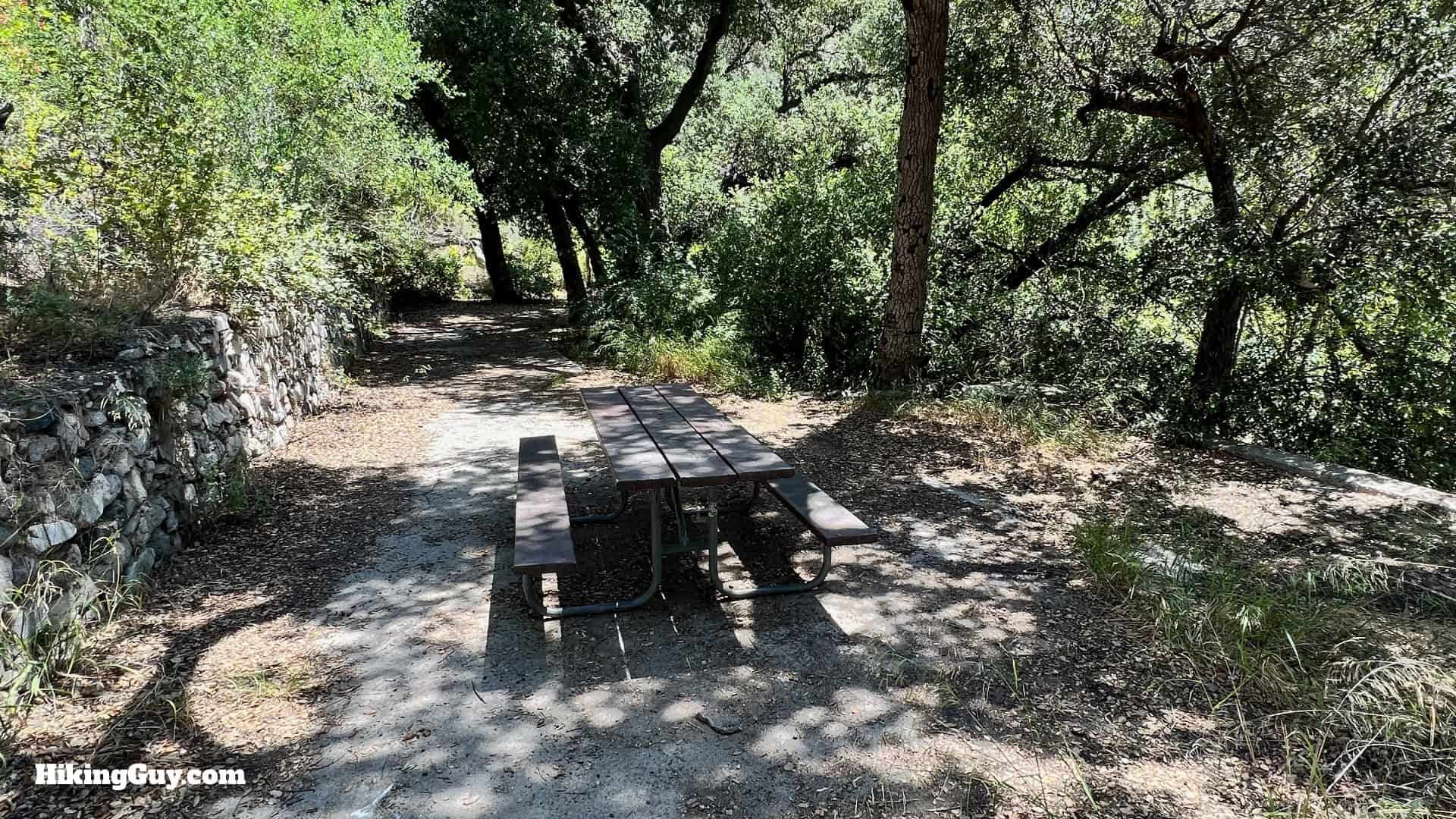
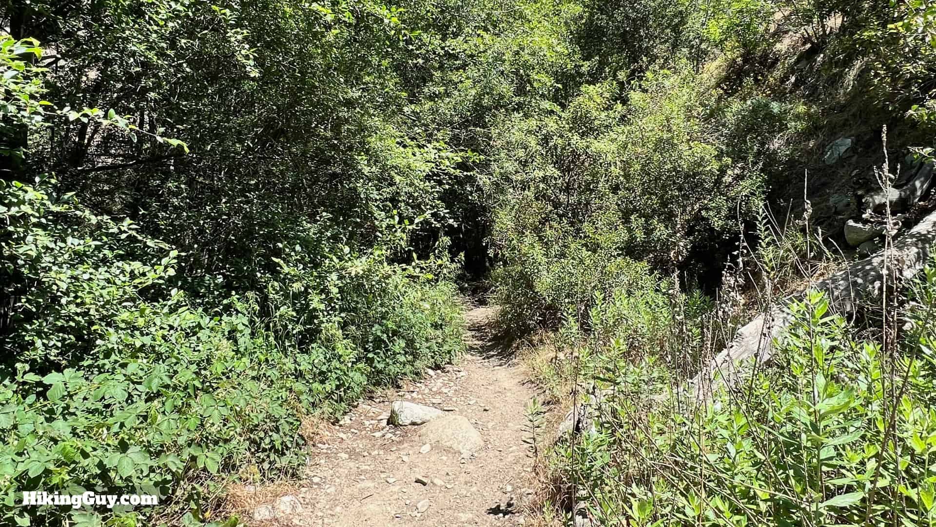
Hiking to the Brown Mountain Dam waterfall hike quickly transports you from suburban LA to a natural wonderland. You'll start in suburban Altadena, then follow the Arroyo Seco, a lifeline watershed, into Angeles National Forest, to the hidden waterfall at the abandoned Brown Mountain Dam. The shaded trail passes ruins, secluded picnic areas, and beautiful willows, oaks, and sycamores. Today it's a flat and relatively easy hike that's fun for all levels of hiker.

This hike is also known as the "JPL Hiking Trail," the "JPL Trail," and the "Arroyo Seco Trail."

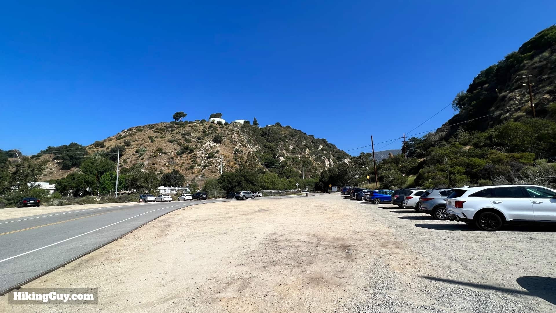
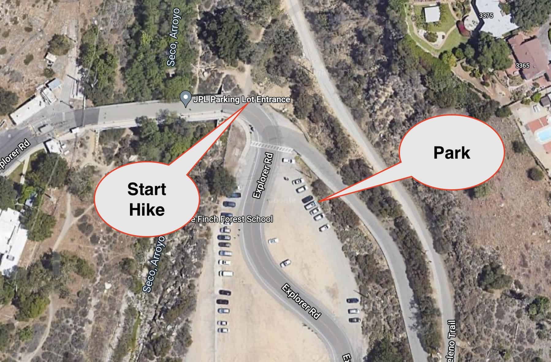
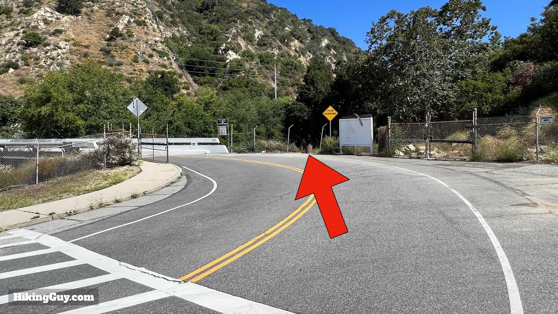
Where is the JPL Trail Parking?

Don't just search for the JPL Parking lot and go. There are multiple "JPL Trail" locations on the mapping services. We will park at the massive lot on the northeast side of NASA's Jet Propulsion Laboratories. Use this address or lat/lon:
JPL Parking Lot Entrance, Explorer Rd, Altadena, CA 91001 - 34.202461220102016, -118.16579655823301

Jpg Brown Mountain Dam Hike
As you approach, JPL will be on your left in the distance.
Hike Brown Mountain Dam Directons 4
Drive to the end of the lot and park on the right. There's no parking fee.
Brown Mountain Dam Parking
The hike starts at the end of the wide dirt parking area, before the road turns into the gated entrance to JPL.

Gear For the Hike

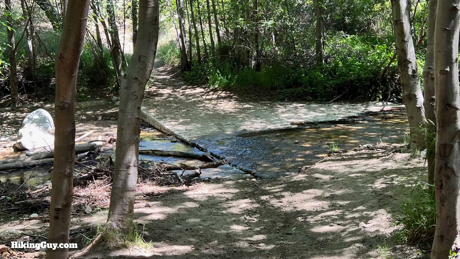
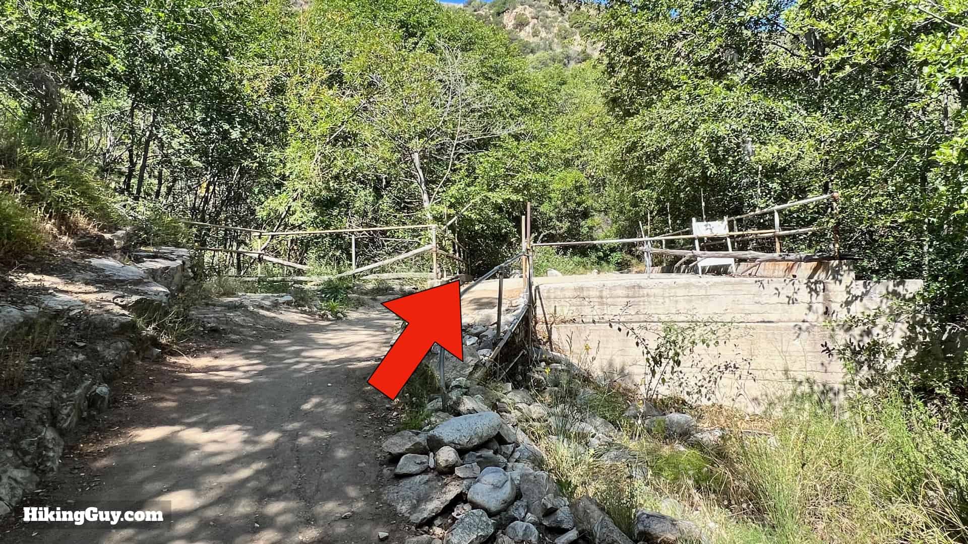
This is a straightforward hike that can be done in fitness clothing or light hiking gear. There are several stream crossings that all have logs and rocks you can use to cross. Using trekking poles can be helpful, as can vented trail runners that get wet and dry quickly. Bring 1-2L of water and don't drink directly from the Arroyo Seco - you have to filter the water here.

Gear I Love Right Now

Brown Mountain Dam Trail Maps

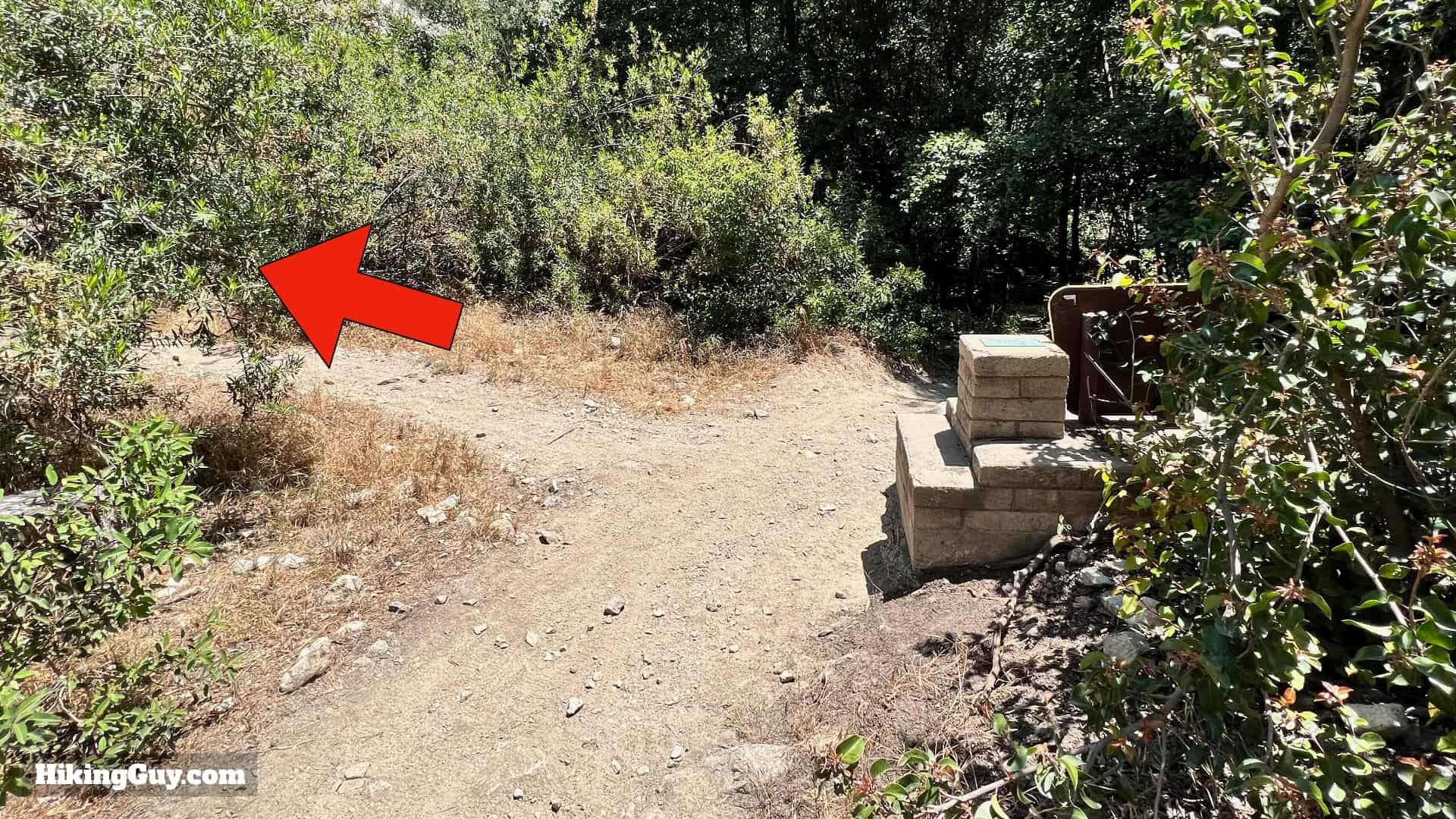
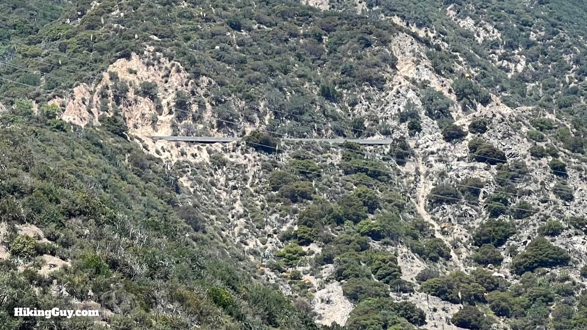
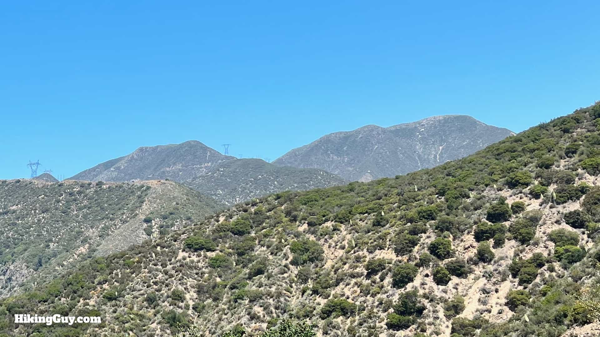
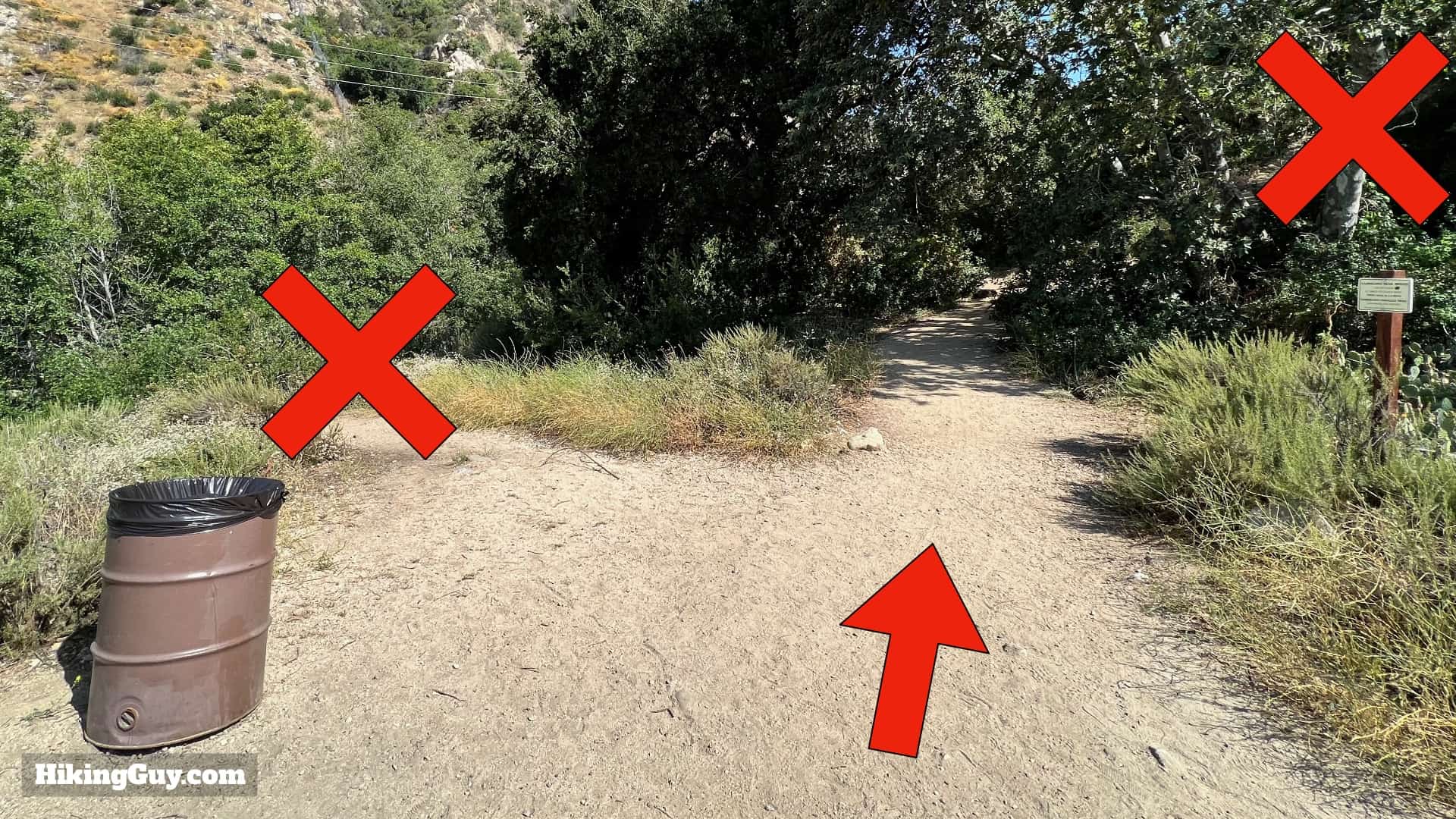
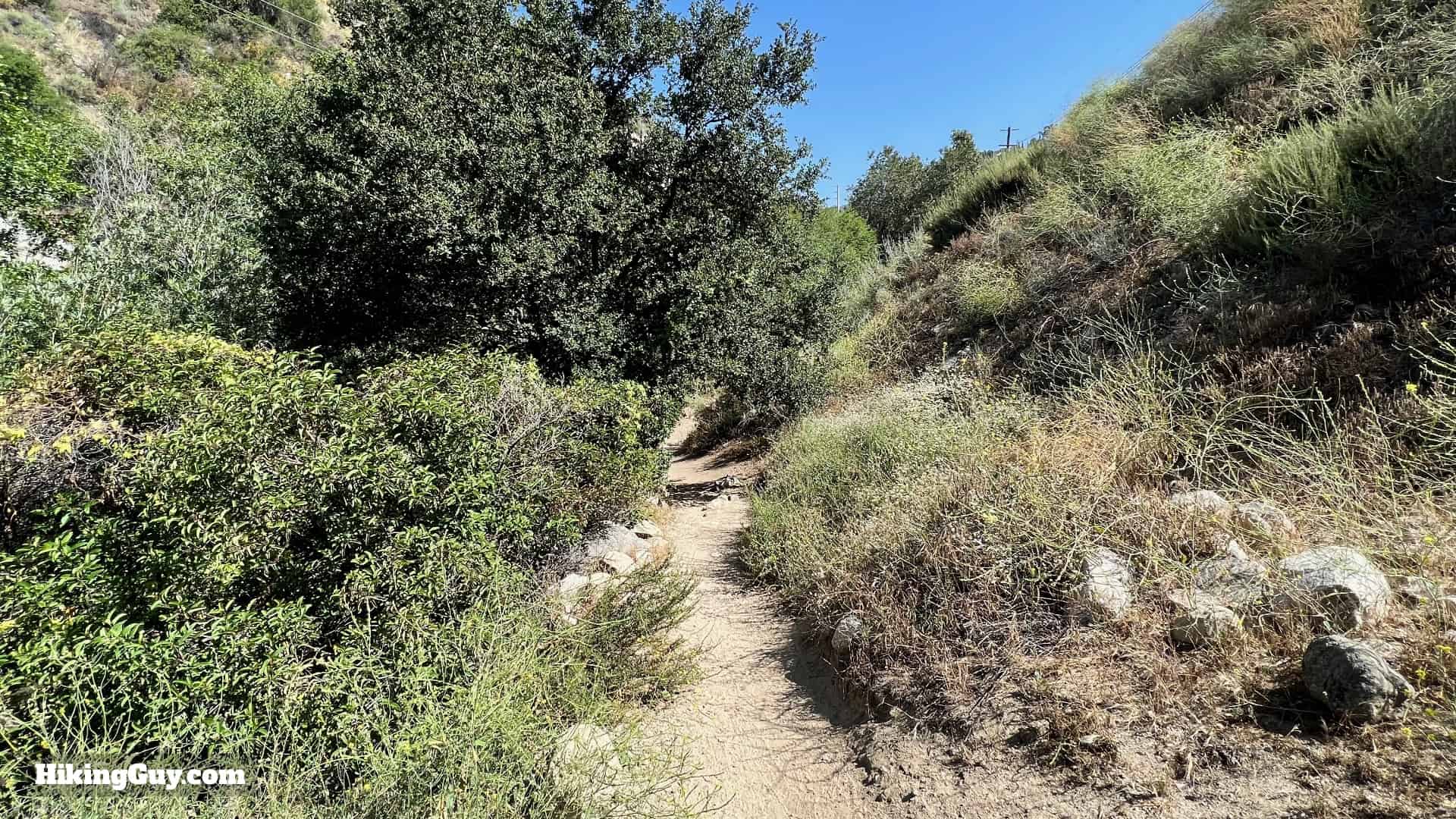
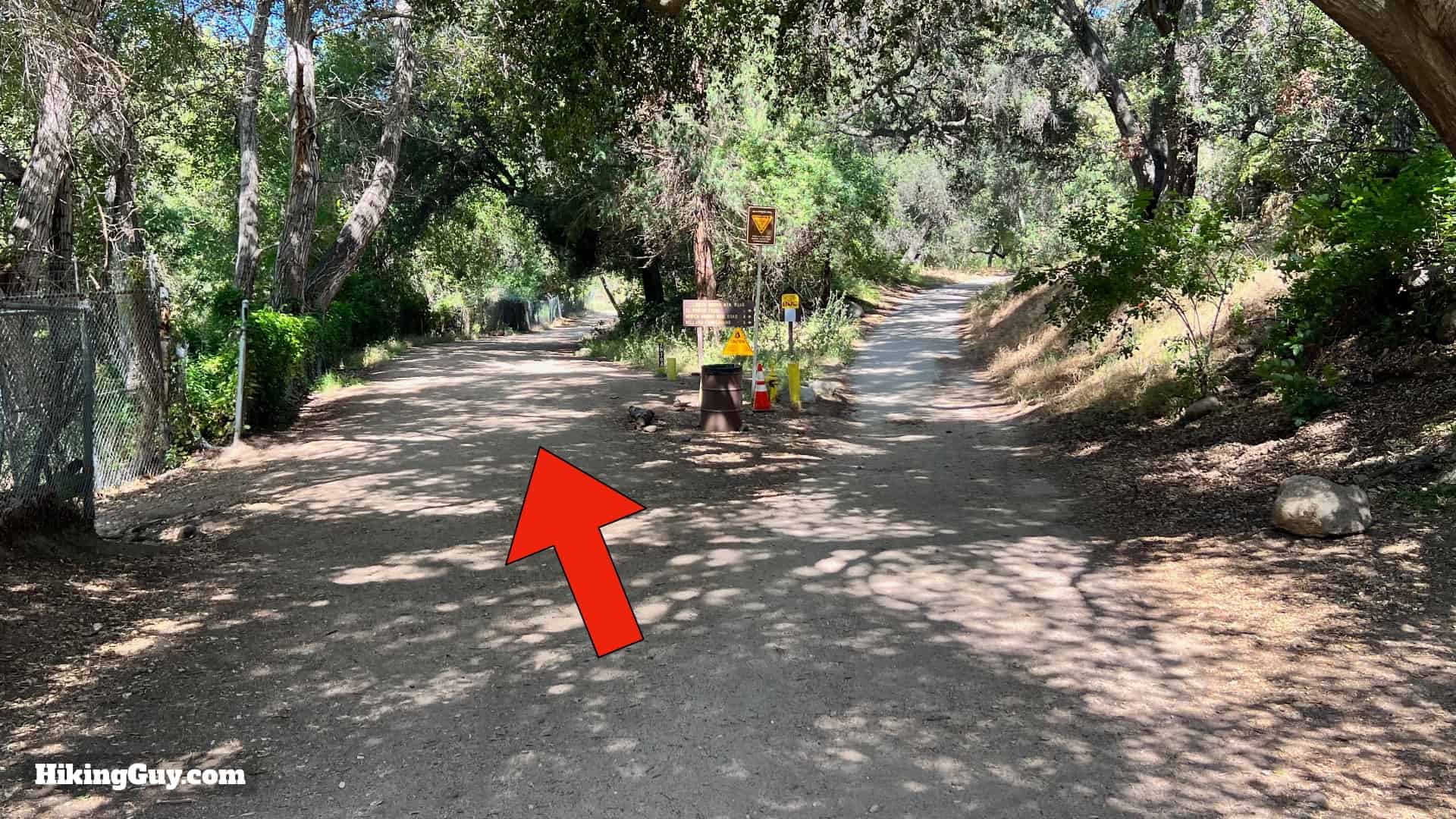
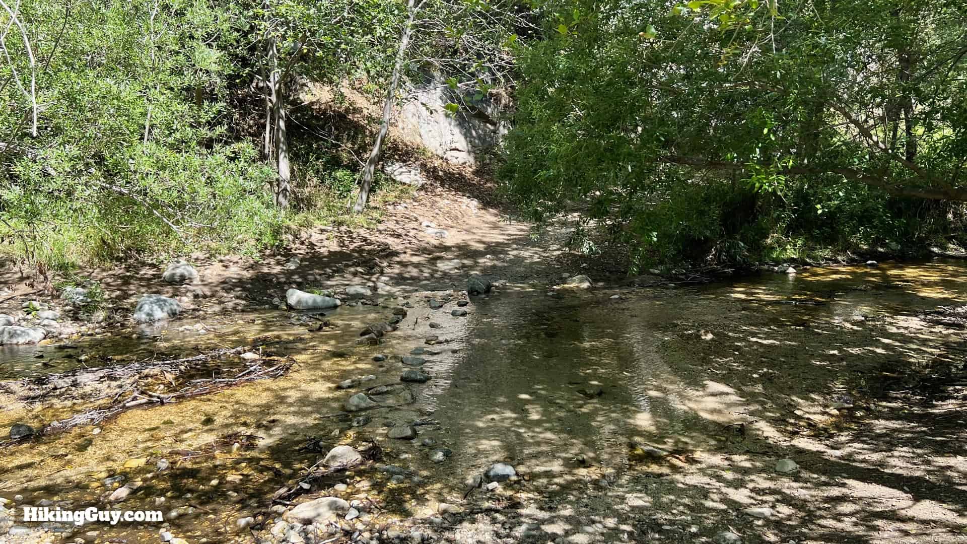
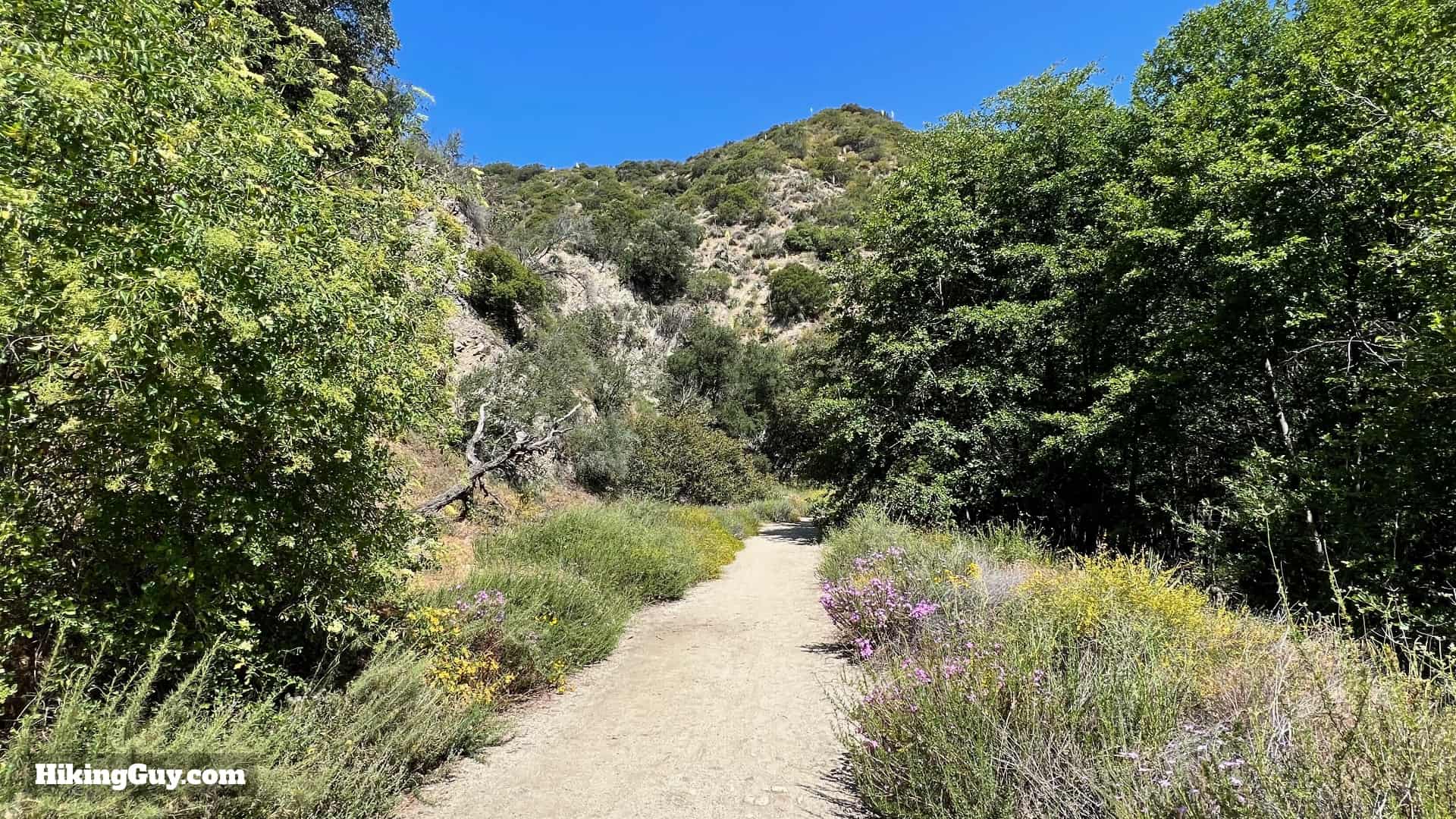
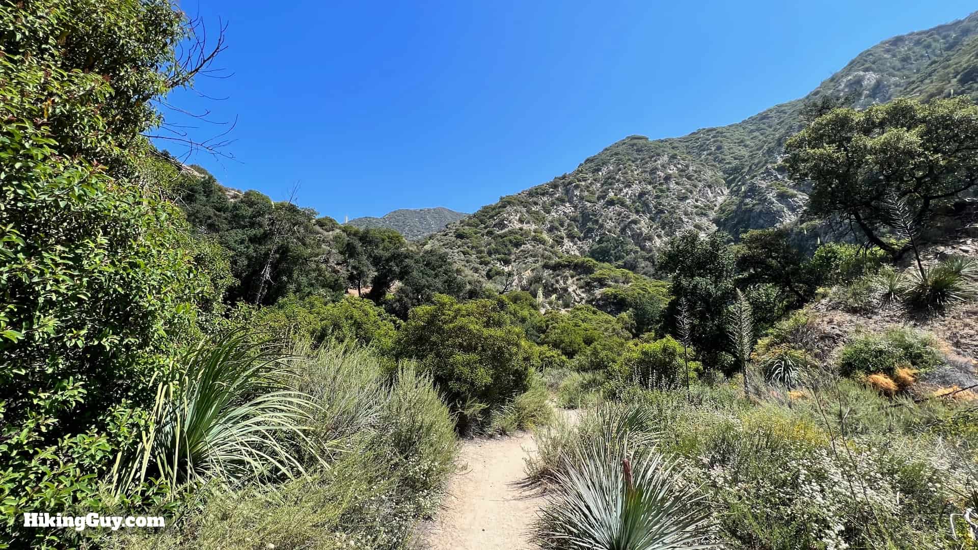
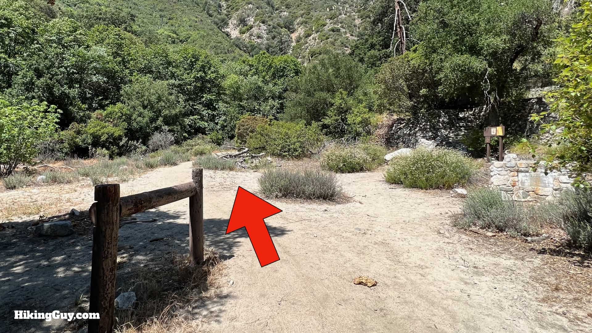
You'll be following the Gabrielino Trail for the majority of the hike. The trail is well-worn and a favorite of hikers and mountain bikers. There are numerous unofficial side trails along the way, but we'll be staying on the (main) Gabrielino Trail along the Arroyo Seco. If you haven't seen or heard the stream in a few minutes, you're probably in the wrong place.

Hike Brown Mountain Dam Directons 2
There are several crossings of the Arroyo Seco. If it's been raining, these can be high. Use your best judgment and if you don't feel comfortable crossing, then don't. Most of the time, all of the crossings are very tame.
Hike Brown Mountain Dam Directons 3
There are numerous secluded picnic benches along the way. This one is up the stairs at the ruins at the Paul Little Picnic Area (more later). They offer an opportunity for a break and a spot to soak it all in.

Interactive Trail Map
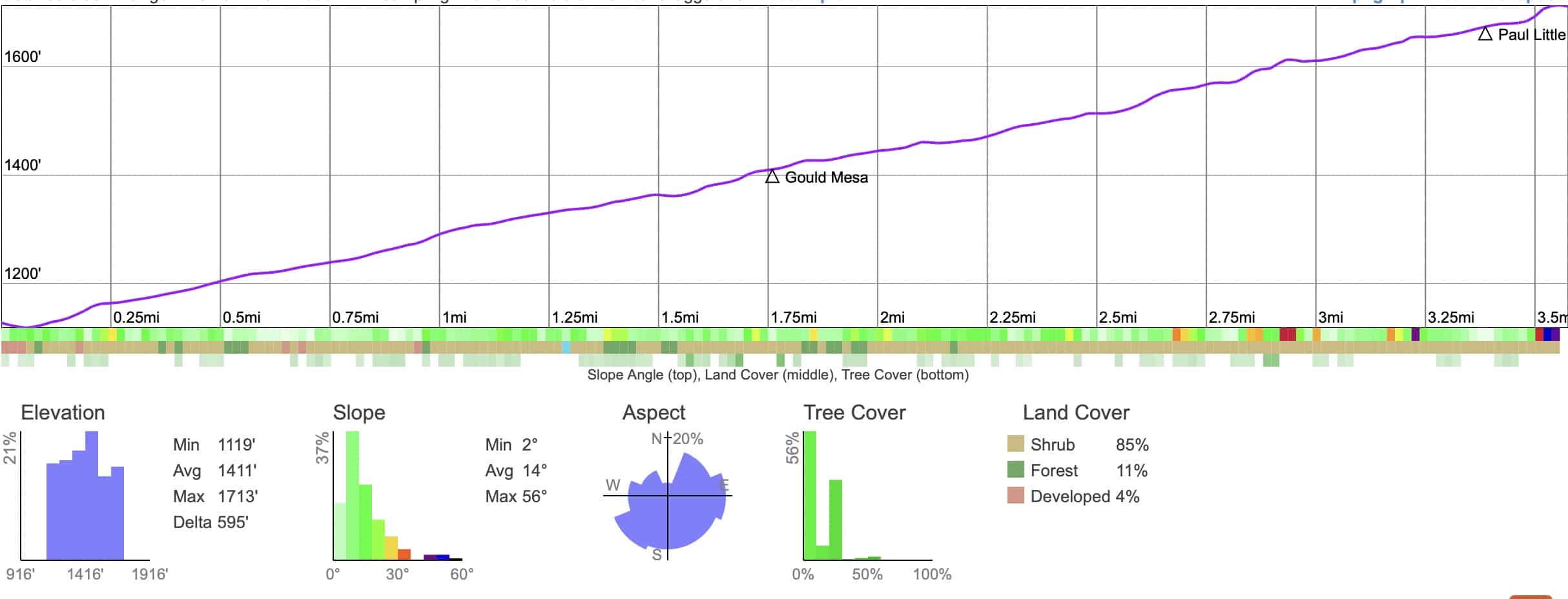
Click to activate map
CalTopo
Print Map, Work With It Yourself
GPX
Bring the Guide to Any GPS

Elevation Profile

Hike Brown Mountain Dam Arroyo Seco Elevation
Don't let this (one-way) profile fool you. Although the hike does imperceptibly climb, overall, it feels like a flat trail.

3D Map

Hike Brown Mountain Dam Arroyo Seco 3d Map
We'll be following the Arroyo Seco and Gabrielino Trail from the flood plain into the narrower gorges in Angeles National Forest.

Hike Brief

Hike Brown Mountain Dam Directons 1
You'll see dozens of ruins like this along the hike. In the early 1900s this route was a main thoroughfare into the mountains, and the area had as many as 180 cabins. Some cabins were private, and some you could rent. There were even stores like "Teddy's Outpost" that offered refreshments and lodging. In the 1940s, the Pasadena Water Department bought the land and closed the cabins down.
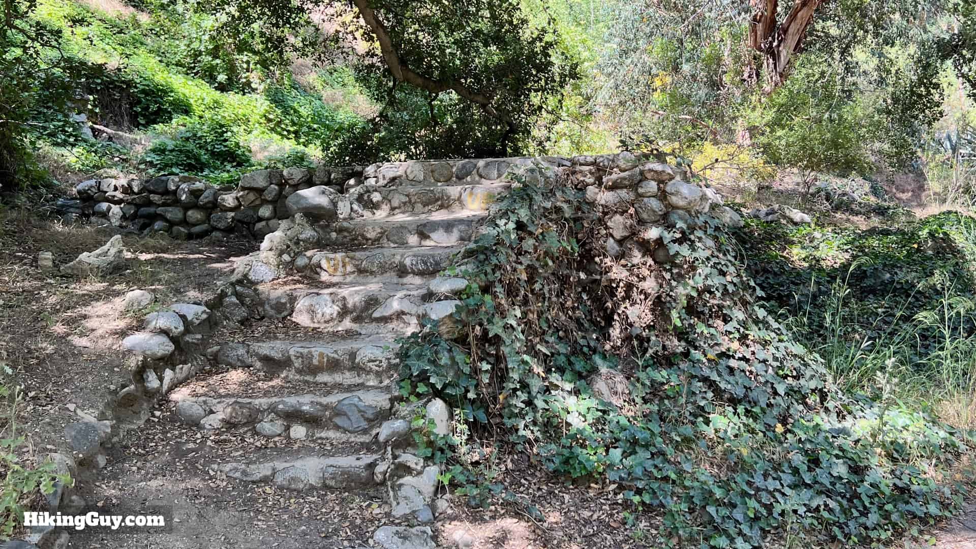
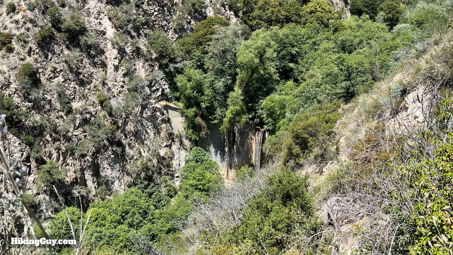
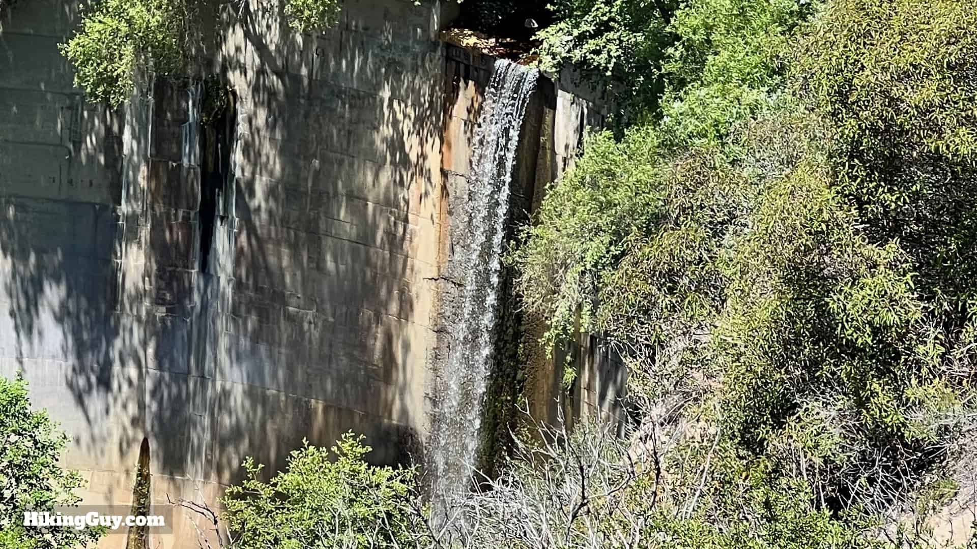
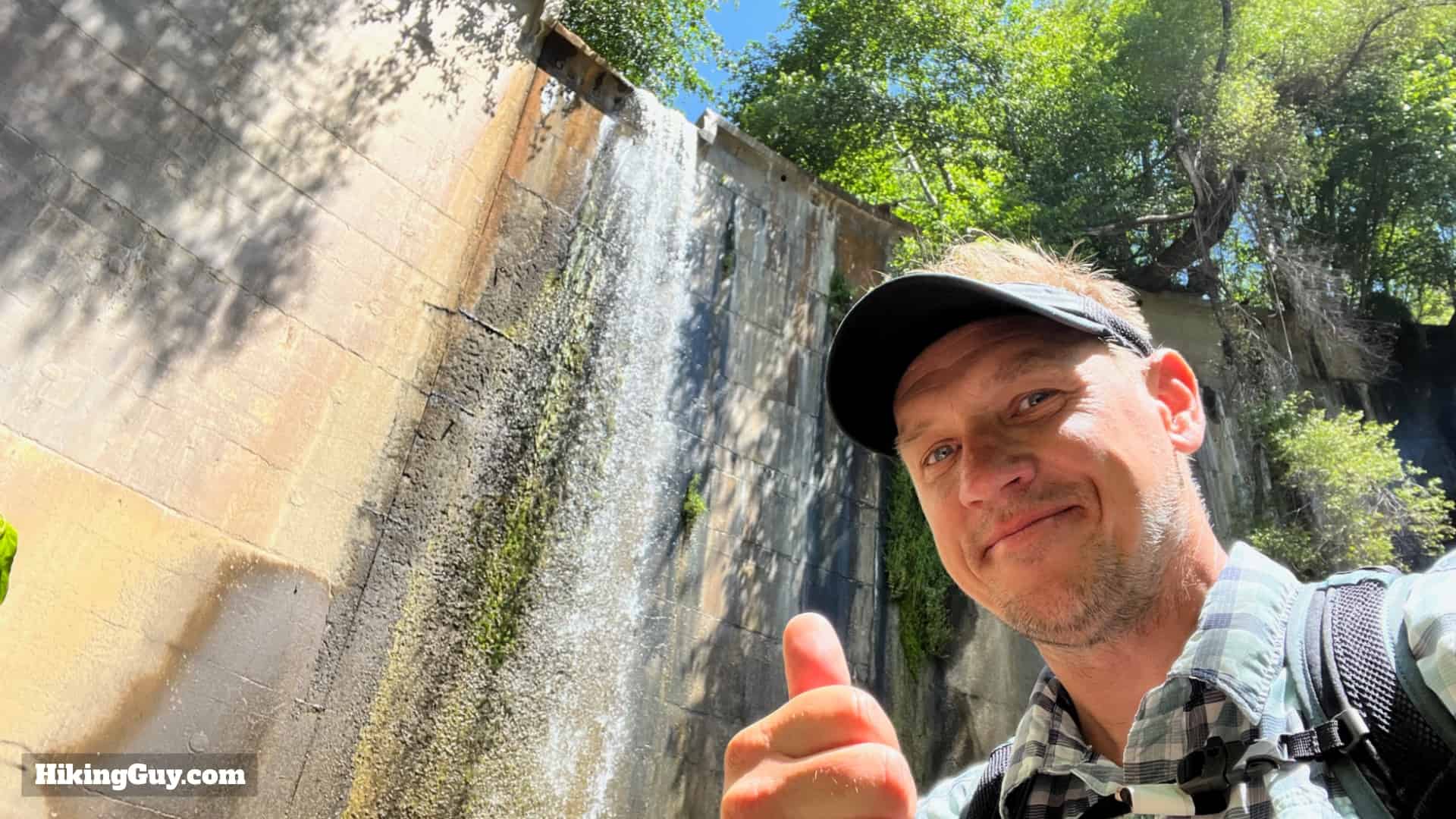
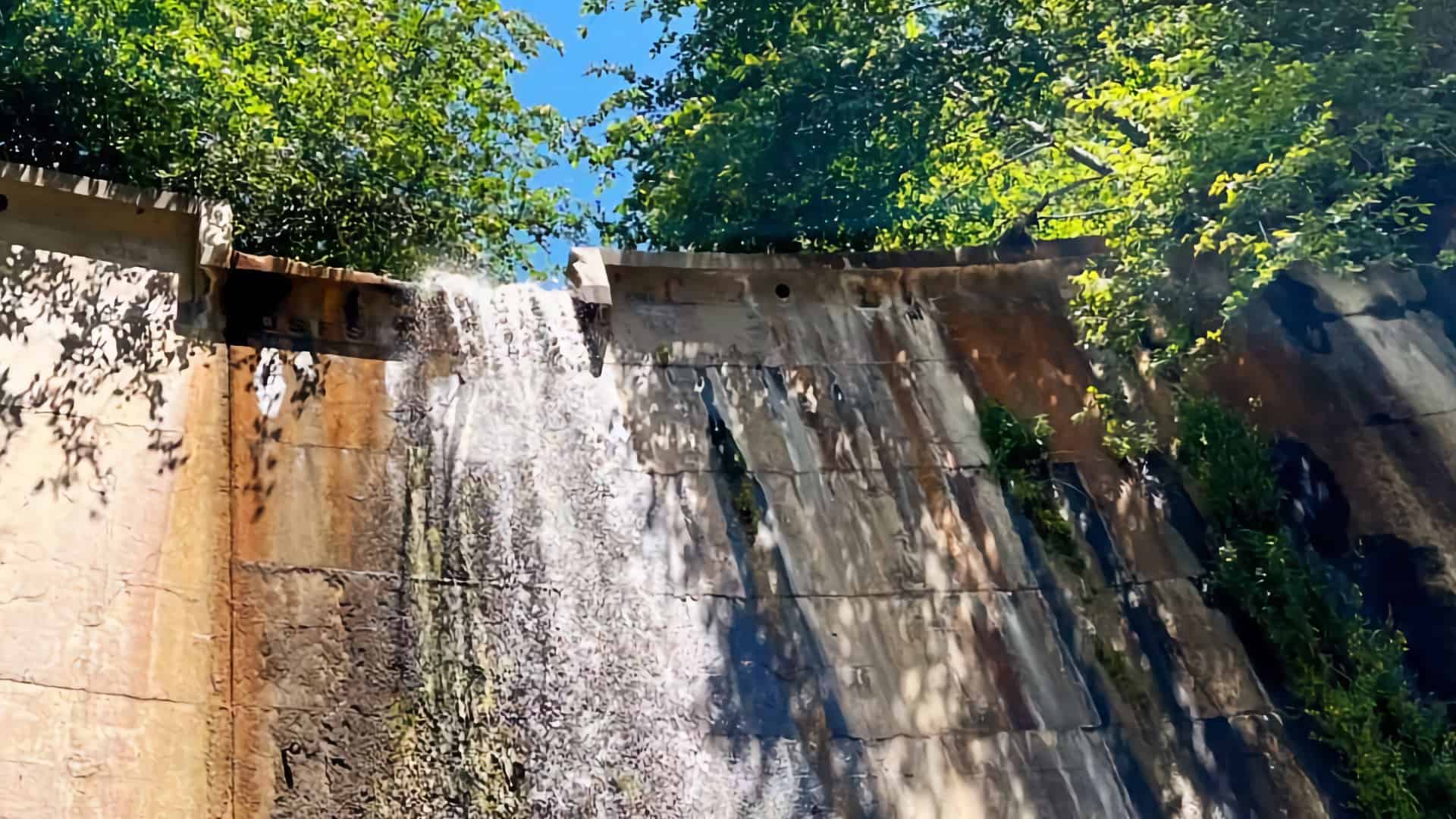
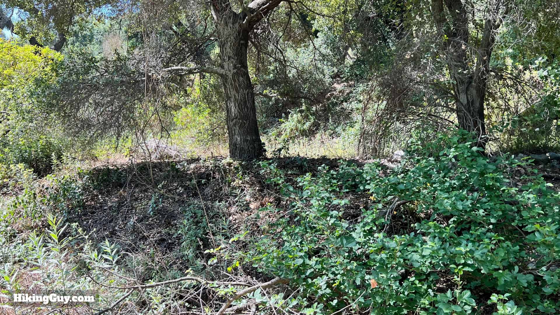
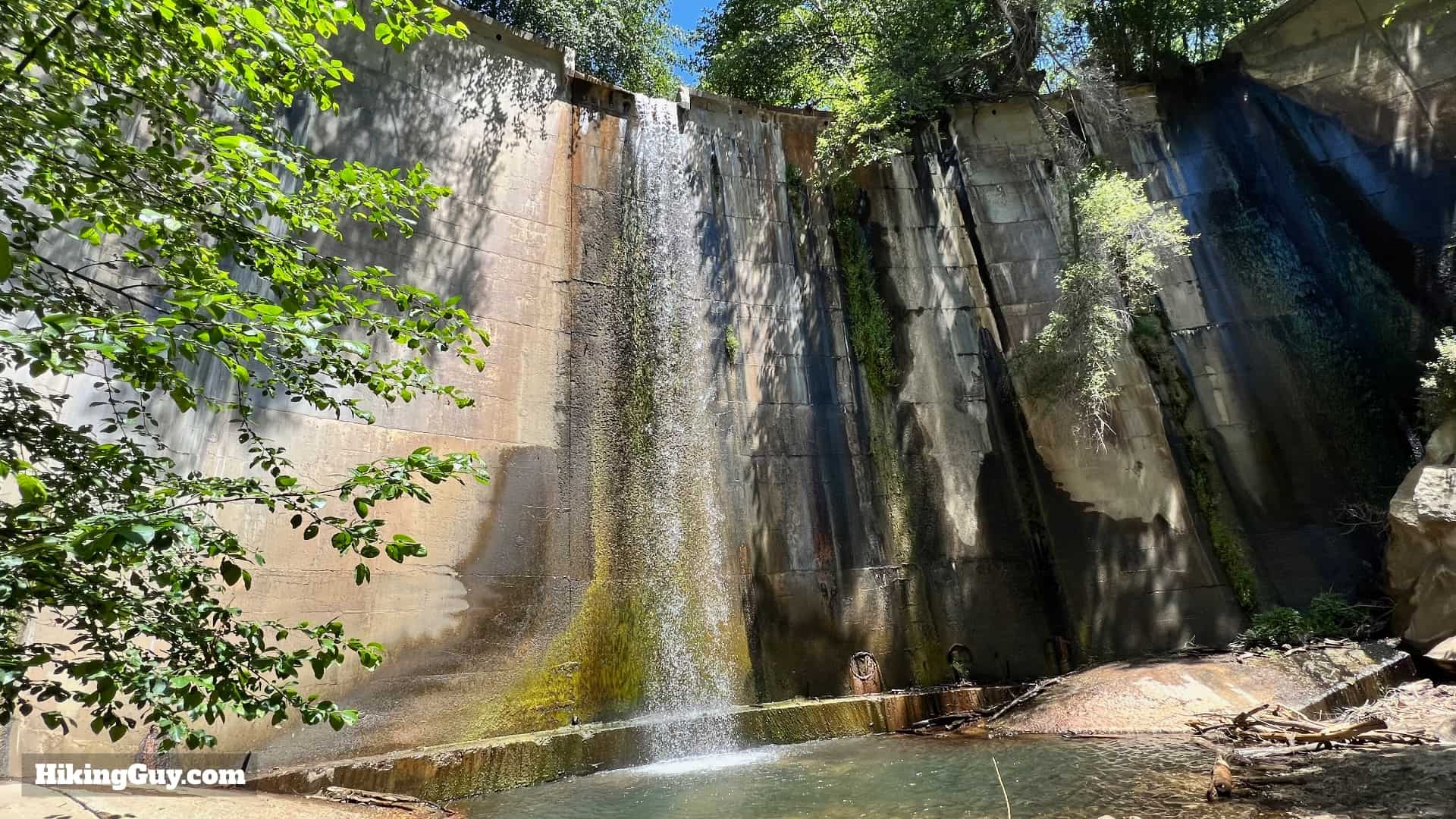
  • Brown Canyon Barrier Dam was built in 1943 in an attempt to control flooding from the mountains. In 1938 the “flood of the century” led to deaths and damage in LA. It even destroyed an entire resort, Camp Oakwilde, just a short way up from where the dam is. The powers that be decided to try to control the water flow. There were numerous projects, including paving the LA River. The Brown Mountain Dam was one of those projects.

    Brown Mountain Dam Historic
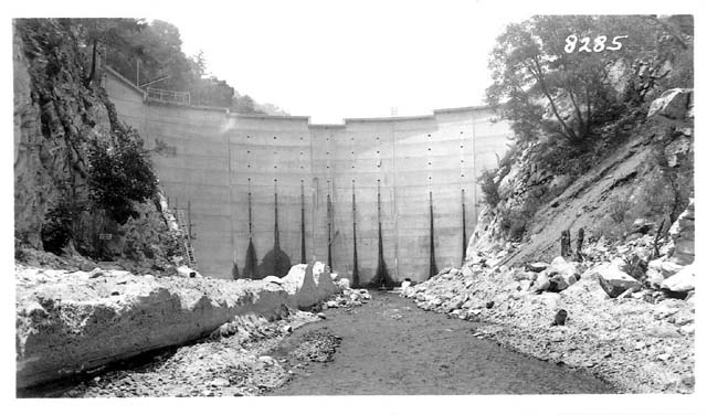
    Here's what the dam looked like when it was first built in 1943.
  • In most cases where humans try to "improve" mother nature, the dam was quickly rendered a failure when the area behind it was filled with silt and debris. Not only that, but the dam prevented the movement of wildlife up and down the Arroyo Seco, disrupting an age-old migration corridor. There's a strong argument for removing dams like this, but it's hard to see how that would happen today. You can dive deeper into the saga of protecting the Arroyo Seco at the Arroyo Seco Foundation's website.

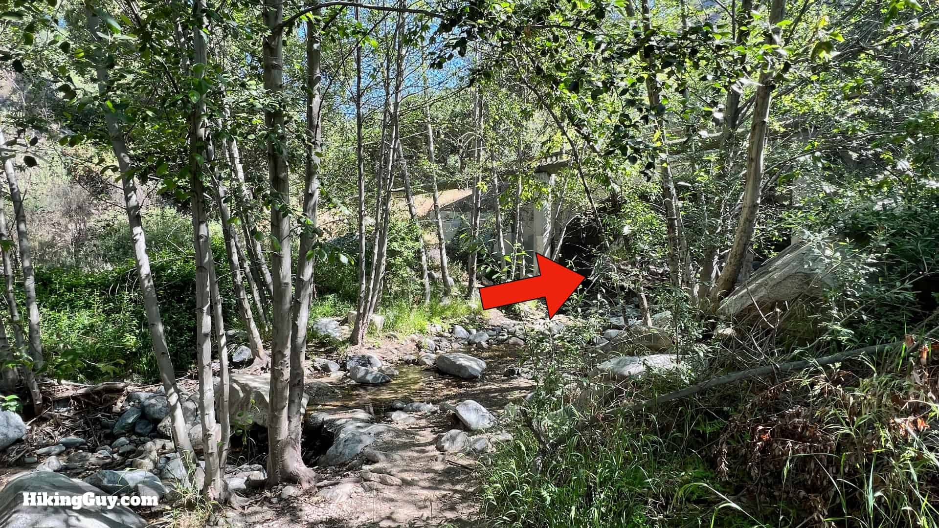
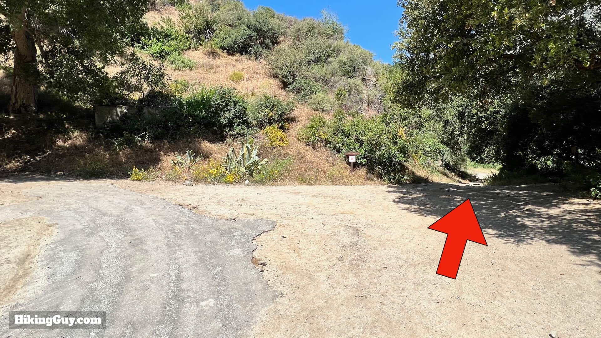
Brown Mountain Dam Hike Directions

Hike Brown Mountain Dam Directons 5
Look for the trailhead at the end of the massive parking area.
Hike Brown Mountain Dam Directons 6
Go straight down the trail, avoiding the numerous side trails to the right and the left. We'll be hiking between the stream and road.
Hike Brown Mountain Dam Directons 7
You'll see this small sign at the start. We're taking the Gabrielino Parallel Path, which is nicer than the road above. On the way back you can just take the road back down if you'd like to save a few minutes.

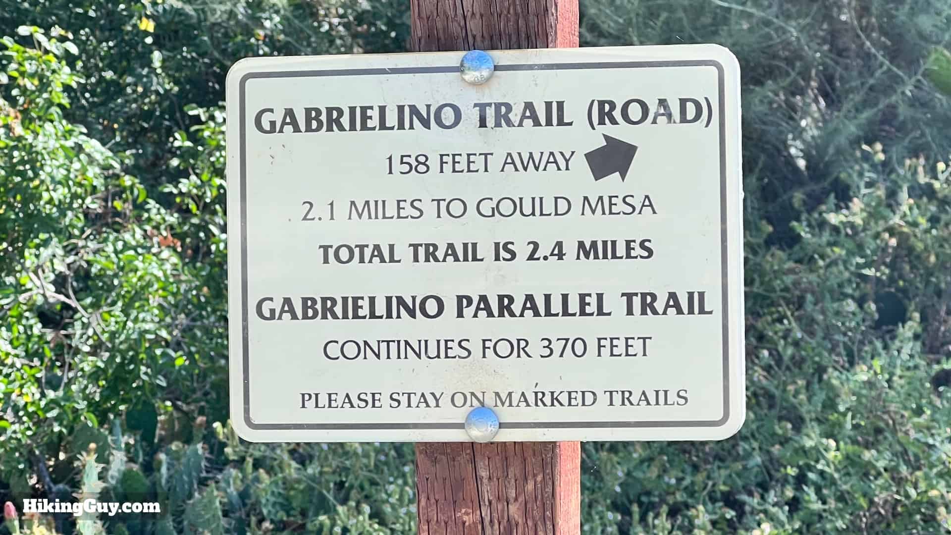
The Gabrielino Trail is named after the native Tongva tribes who lived in the area before the Spanish arrived. It's also the nation's first National Recreation Trail, which “represents its region, supports a diverse community, and is among America's best trails.” I have a full guide to the Gabrielino NRT, along with a deeper dive into its history, in my guide.

Hike Brown Mountain Dam Directons 8
The trail is easy to follow on this stretch.
Hike Brown Mountain Dam Directons 9
When you get to the bridge, cross the stream, go under the bridge, and then up to the road.
Hike Brown Mountain Dam Directons 10
After going under the bridge the trail joins the paved road.

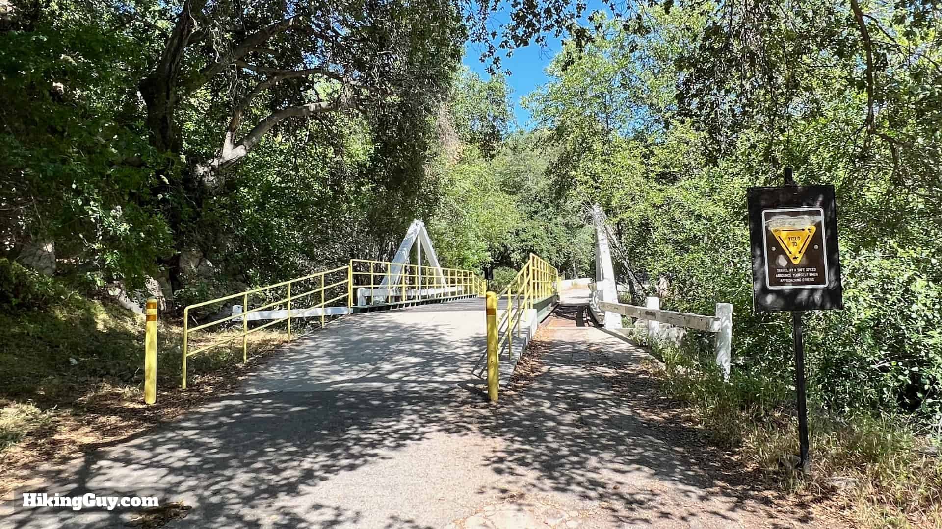
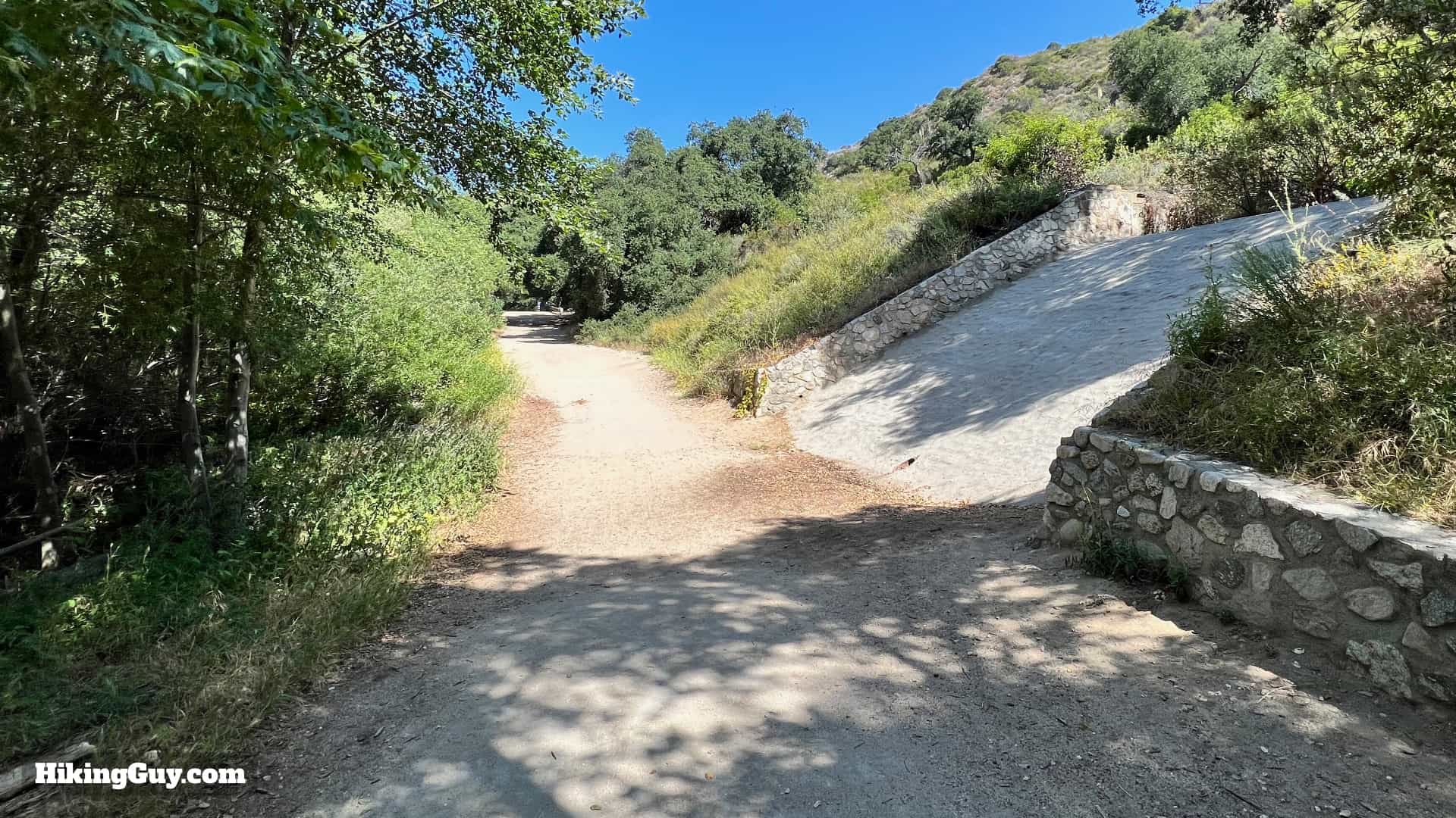
The paved section doesn't last long. About 100 years ago this paved section went all the way up to Camp Oakwilde, about 1.5 miles up from the dam.

Hike Brown Mountain Dam Directons 11
Hike over the first of several bridges.
Hike Brown Mountain Dam Directons 12
At the split for El Prieto, stay to the left.
Hike Brown Mountain Dam Directons 13
Hike up the wide and pleasant road. You'll see relics of the old flood control scheme along the entire hike, including this spillway built in 1949.
Hike Brown Mountain Dam Directons 14
Keep hiking up through the concrete wall.
Hike Brown Mountain Dam Directons 15
Now the road is gone and you're on lush singletrack.
Hike Brown Mountain Dam Directons 16
You'll be following the Arroyo Seco up to the dam. You'll get nice views like this when crossing over bridges.

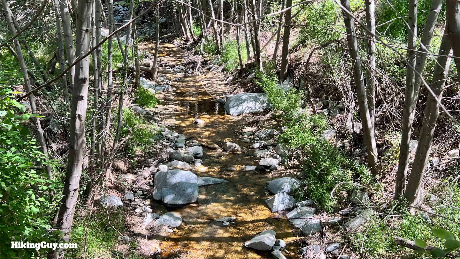
Although Arroyo Seco means "dry stream," it usually flows all year.

Hike Brown Mountain Dam Directons 17
Welcome to Angeles National Forest!
Hike Brown Mountain Dam Directons 18
Here's the first of several stream crossings. They all have ways to rock and log hop across, you may just have to go up or downstream from the trail to find them.
Hike Brown Mountain Dam Directons 19
You'll pass numerous ruins of cabins if you keep your eyes open. Generally only the foundations, like you see here, remain.
Hike Brown Mountain Dam Directons 20
At about 2 miles in you'll reach Gould Mesa campground on your left. There's a primitive toilet here if you need it.

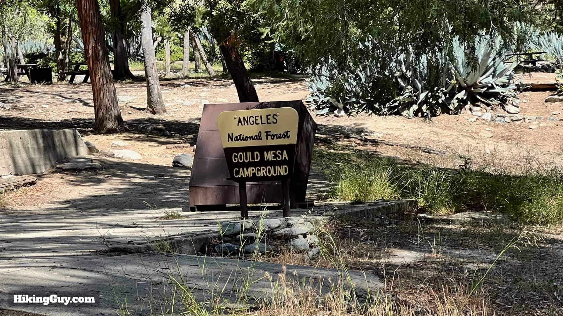
Gould Mesa is named after Will D. Gould (1846-1926), a lawyer whose cases brought him in front of the Supreme Court. Gould was also prominent in the temperance movement. He bought 1,100 acres in eastern La Cañada and created a ranch, and his horse trails stretched into this area.

Hike Brown Mountain Dam Directons 21
At the end of Gould Mesa Campground, stay straight on the Gabrielino Trail. The road to the left goes up to Angeles Crest Highway.
Hike Brown Mountain Dam Directons 22
At that last intersection you'll find a sign with distances that are off by a bit.
Hike Brown Mountain Dam Directons 23
After Gould Mesa the trail changes character again, and now you are hiking through steep canyon walls.
Hike Brown Mountain Dam Directons 24
At about 2.3 miles in, look to your right up Nino Canyon to see a hidden flood control barrier in the distance.
Hike Brown Mountain Dam Directons 25
Keep hiking up the Gabrielino Trail, with the high mountains surrounding you.
Hike Brown Mountain Dam Directons 26
When you get to the big sign for the Paul Little Picnic Area, go straight.

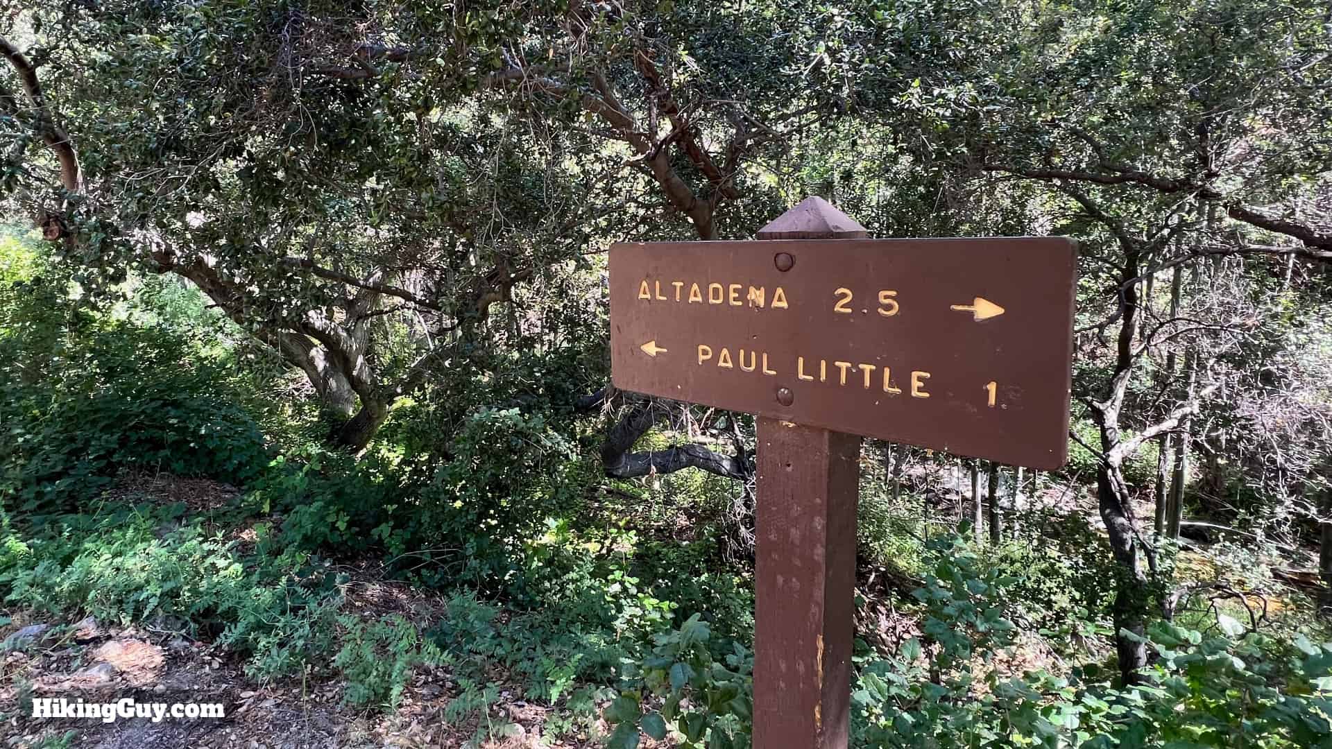
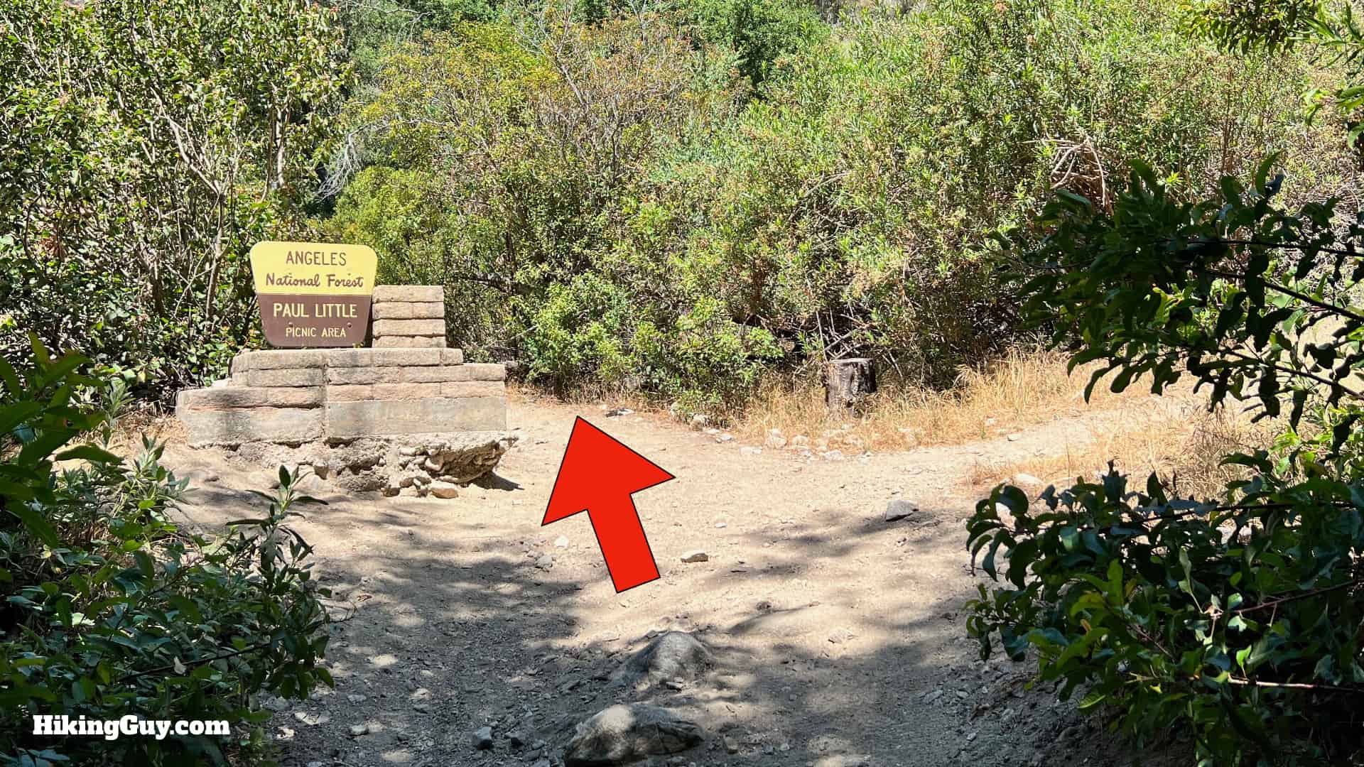
Paul Little worked for LA County parks in the 1950s and 60s and is responsible for creating many of the trails in the area.

Hike Brown Mountain Dam Directons 27
Go straight through the Paul Little picnic area. There are some ruins on the right that have a nice hidden picnic bench if you want a break.
Hike Brown Mountain Dam Directons 28
The trail is a little more primitive but still easy to follow.
Hike Brown Mountain Dam Directons 29
And about 0.25 miles after the turnoff, you arrive at the waterfall. That's it! You just retrace your steps from here to return to the start.

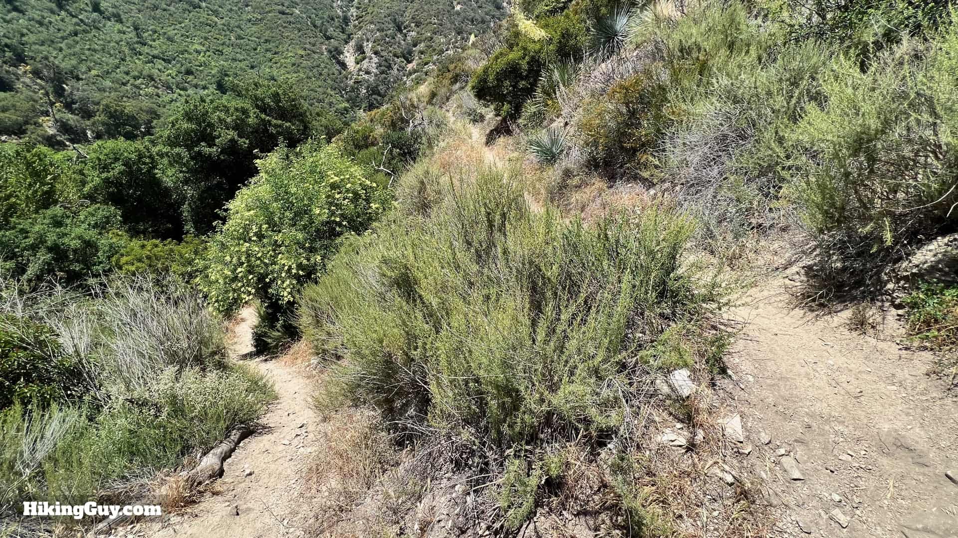
Optional Waterfall Viewpoint Extension

If you want to view of the waterfall from above, follow this 0.3 mile extension.

Hike Brown Mountain Dam Directons 30
When you get to the big sign for the Paul Little Picnic Area, make the hard left and start hiking uphill.
Hike Brown Mountain Dam Directons 31
Switchbacks help on the short uphill climb.
Hike Brown Mountain Dam Directons 32
And at about 0.25 miles in, look down to the left for the waterfall and dam.
Hike Brown Mountain Dam Directons 33
Enjoy the postcard views of the waterfall.
Hike Brown Mountain Dam Directons 34
Continue a short way up the trail and look across the canyon to see Angeles Crest Highway in the distance. The highway gave people automobile access to Angeles National Forest, which ended the need for foot and mule access on the trails.
Hike Brown Mountain Dam Directons 35
And then you round a corner and get views of the higher peaks, on the left, Hoyt Mountain, on the right, Josephine Peak. If you want to explore more hikes here, Josephine Peak is a great hike to dip your toe in the water.
Hike Brown Mountain Dam Directons 36
From the viewpoint, just head back the way you came. As you descend, the high point in the distance is Brown Mountain, which the dam is named after.
Hike Brown Mountain Dam Directons 37
Hope you enjoyed the hike!!!

Last updated January 2025