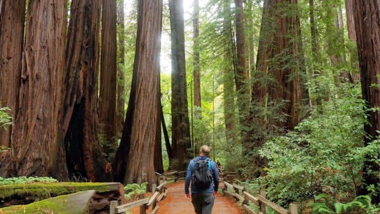

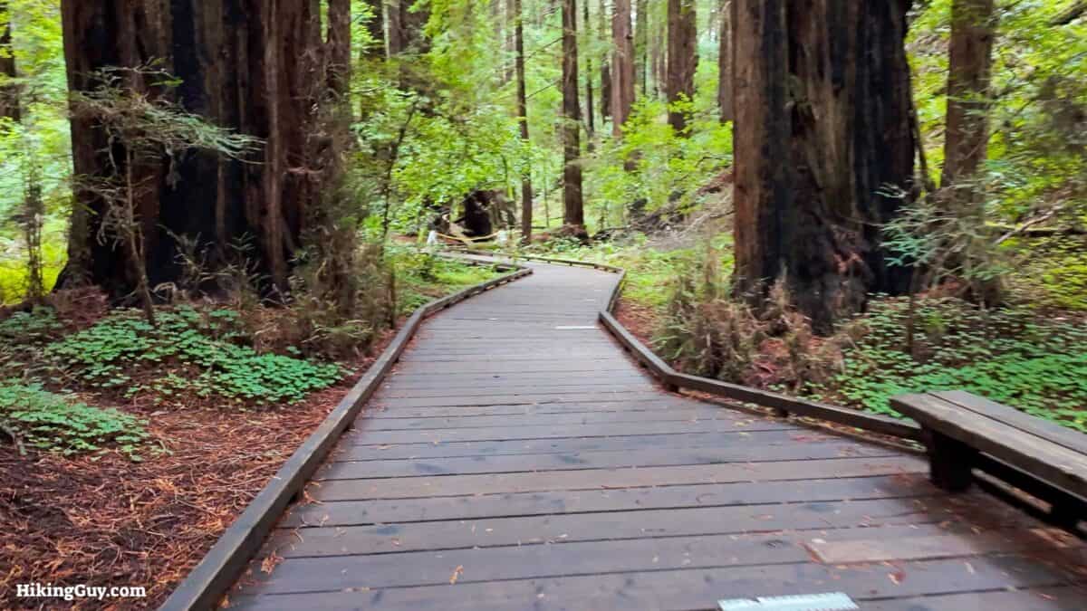
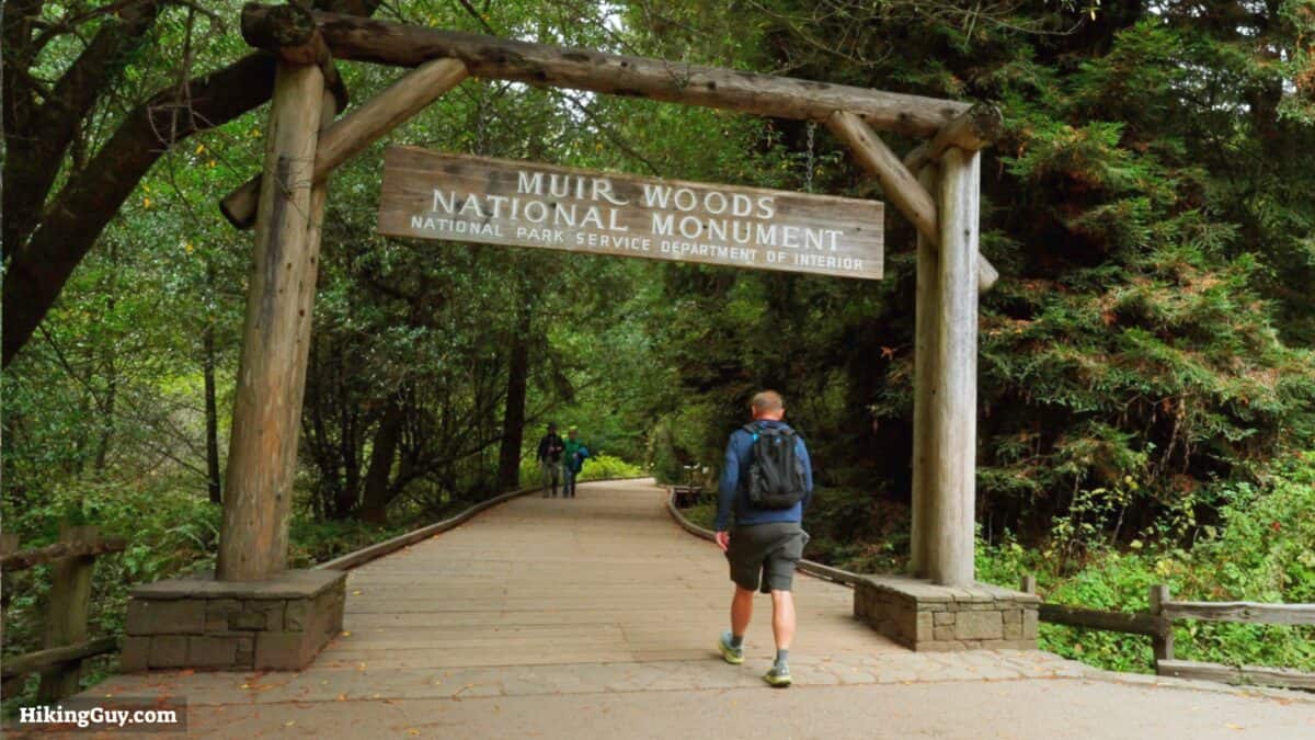
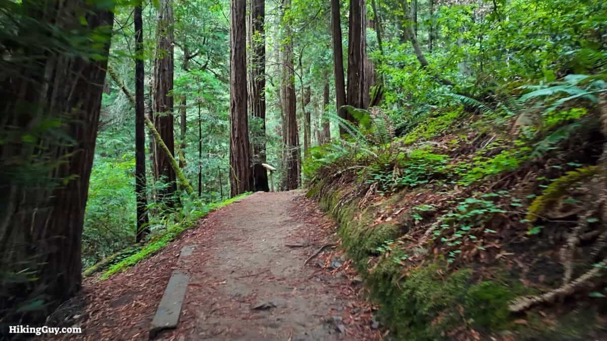
The Main Loop Trail at Muir Woods National Monument is a must-visit for just about anyone and everyone. This iconic trail meanders through the heart of the ancient redwood forest, providing an awe-inspiring experience of towering trees that have stood for centuries. The Main Loop Trail offers a manageable and family-friendly hiking experience, with multiple distance options and a stroller and wheelchair friendly trail.
- Turn by Turn Hike Directions & Video
- Muir Woods Trail Maps
- How to Get to Muir Woods
- Insider Tips & Recommendations
Where is Muir Woods Main Trail?
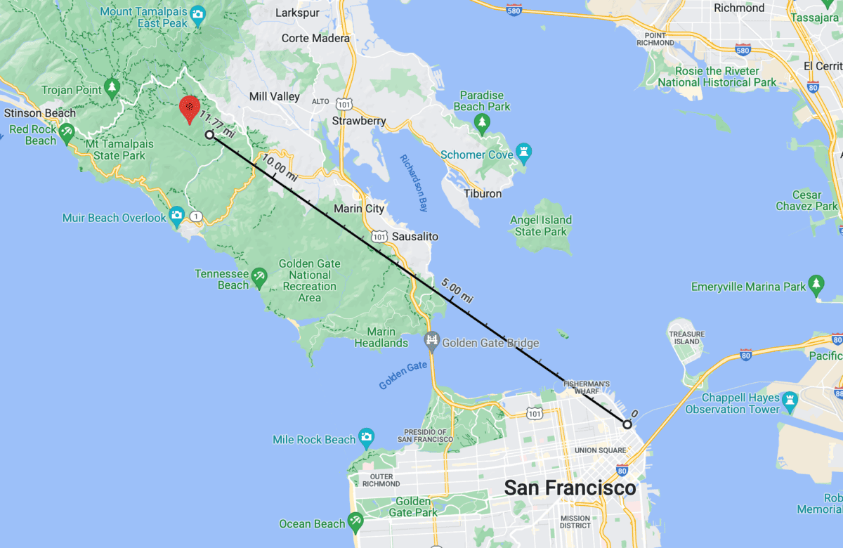
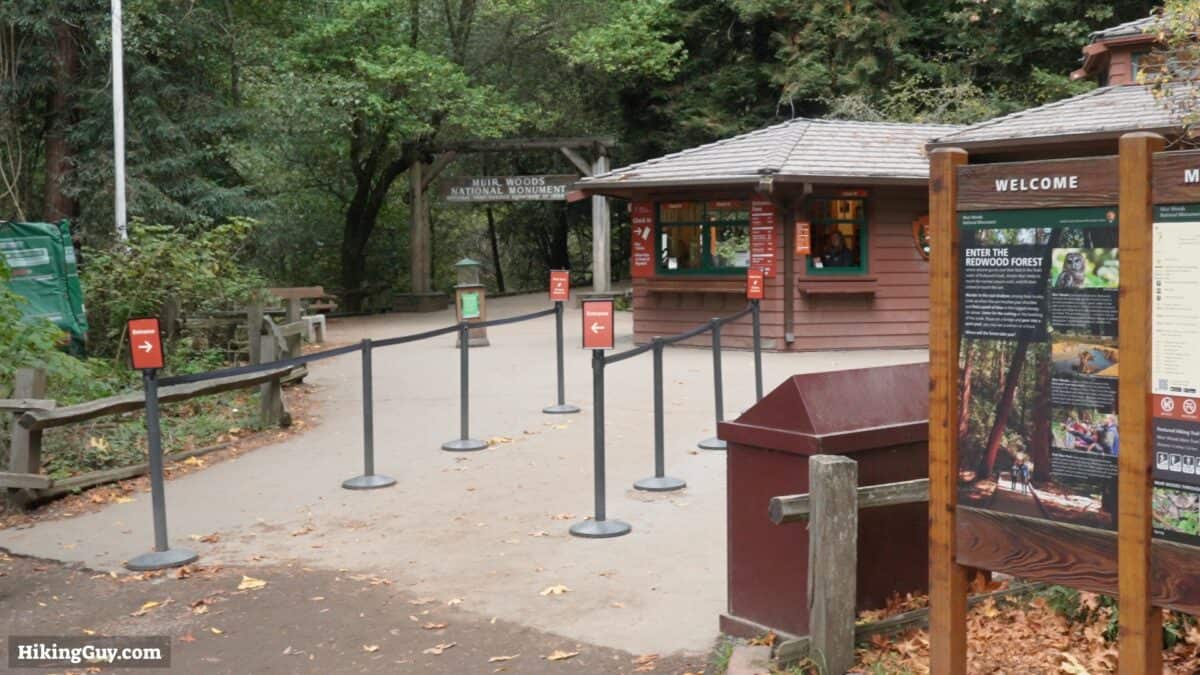
The trailhead for the Muir Woods Main Trail is: Muir Woods Visitor Center, 1 Muir Woods Rd, Mill Valley, CA 94941
Muir Woods is not an easy place to visit.
- The roads there can be windy and narrow.
- There is limited parking, and you must get a timed parking permit to use the lots.
- Public transportation is limited.
- Private tours can be arranged, but you don't have a lot of flexibility.
If you have a car, I'd recommend first visiting the parking and public transportation website at GoMuirWoods.com. Try to get a permit as early as possible. They also have information on the shuttle that runs from the ferry terminal with a limited schedule.
Your other option is to ride-share there, and then taxi back. The problem is that there is no cellular service at the park. But you'll find a payphone at the visitor center (bring coins). I'd write down the number of a taxi company, or even try to book one before-hand.
Gear Recommendations
This hike is very tame and you don't need anything special. That said, fitness clothing and trail runners are your best bet. I'd bring a water bottle. There's a spot along the way to refill. And don't forget, there's no cellular service here, so having a satellite communicator will come in handy if there's an emergency.
Gear That I Love Right Now
Nothing is sponsored or promoted, just the actual gear that I use.


Check out the complete list here. ( Updated October 2024)
A big thank you to Overwatch x Rescue for covering the travel expenses for this trip.
Muir Woods Main Trail Map
How Will You Navigate?
 Using the Apple Watch for Hiking
 Garmin Fenix 7 & Epix Review For Hikers
 How To Read a Topographic Map
 Garmin GPSMAP 67i Review
There's also a map from the Parks Service you can download here.
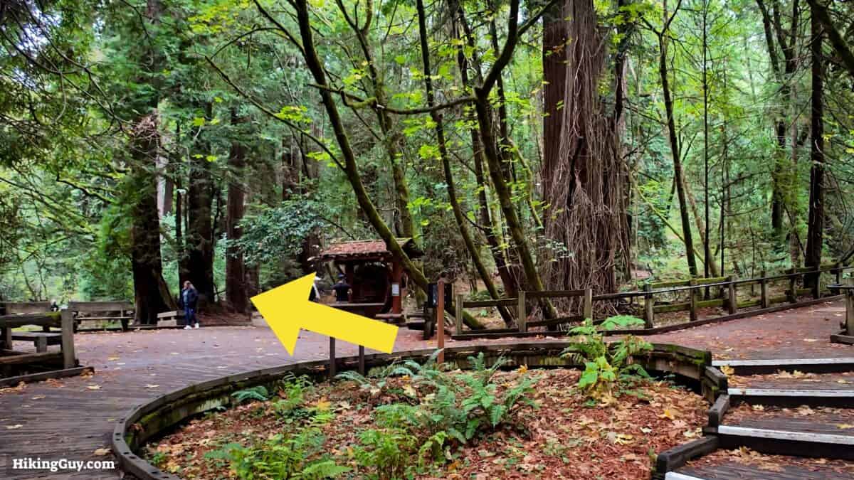
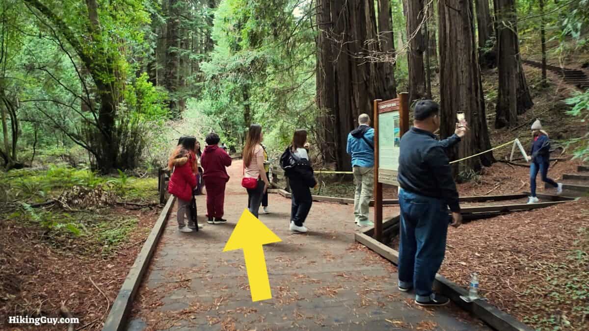
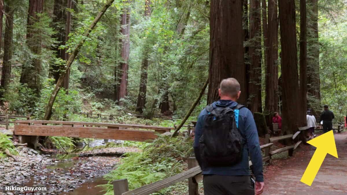
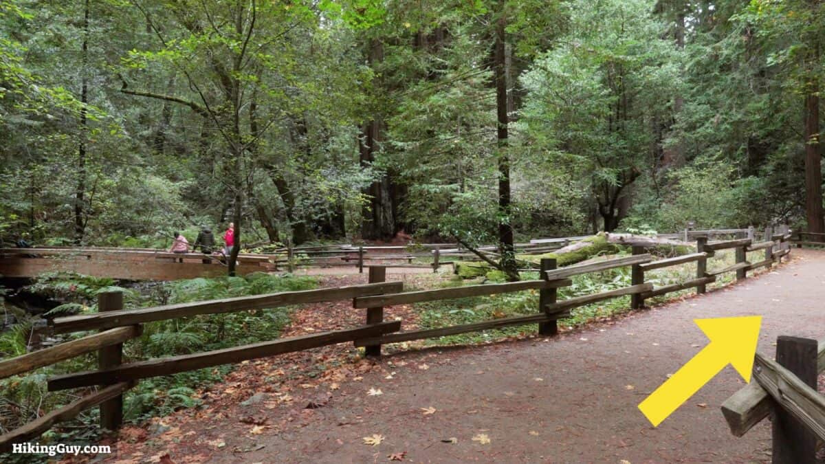
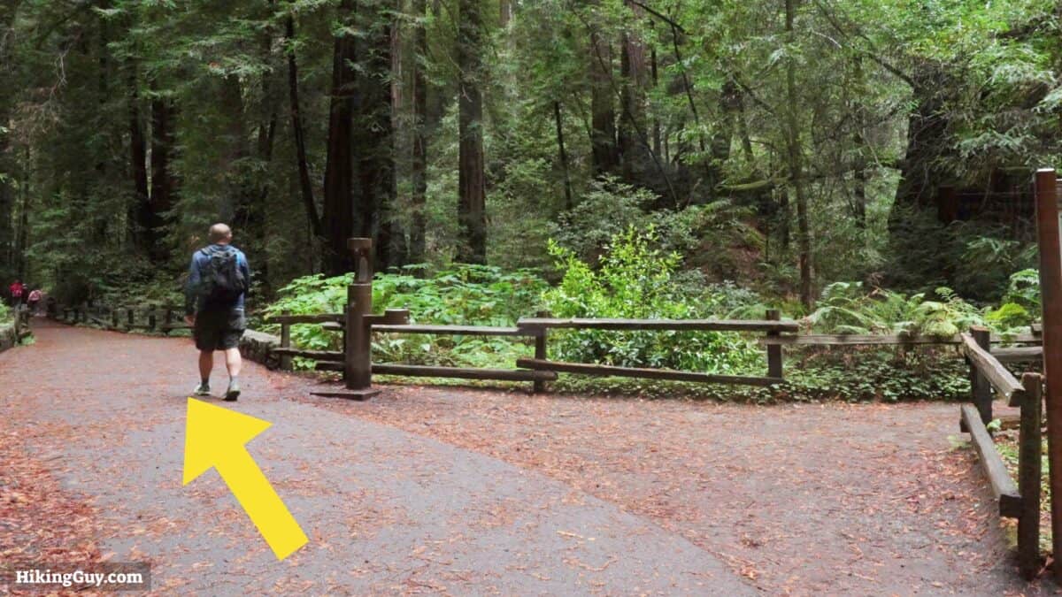
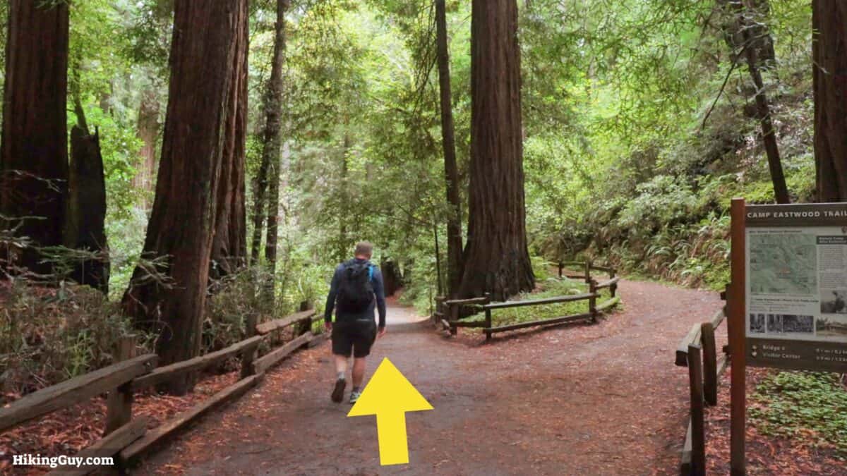
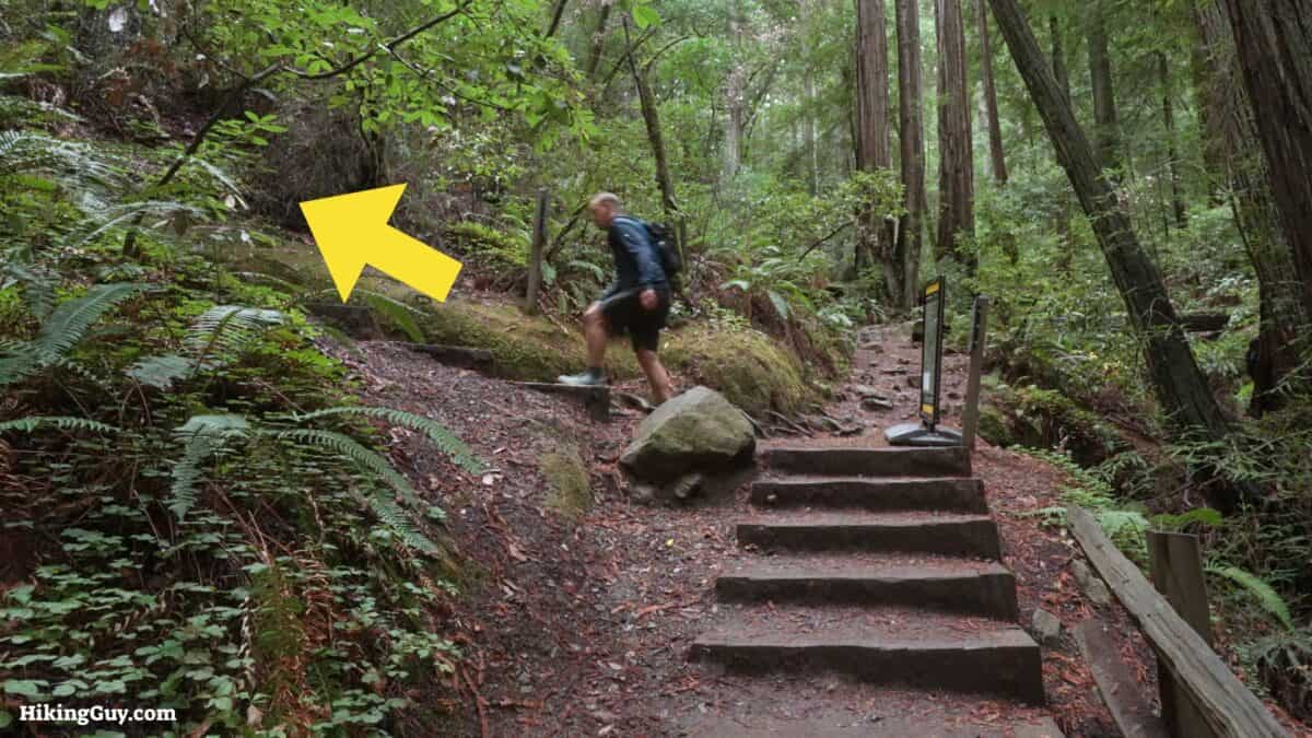
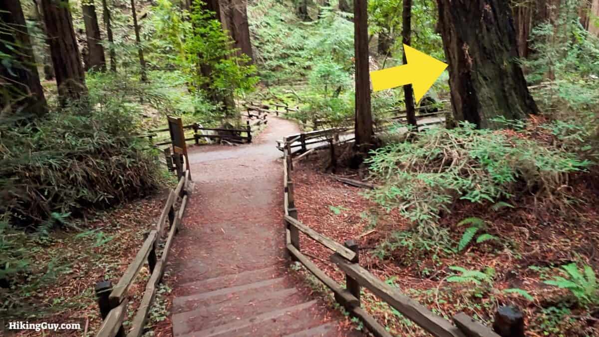
Muir Woods Main Trail Directions
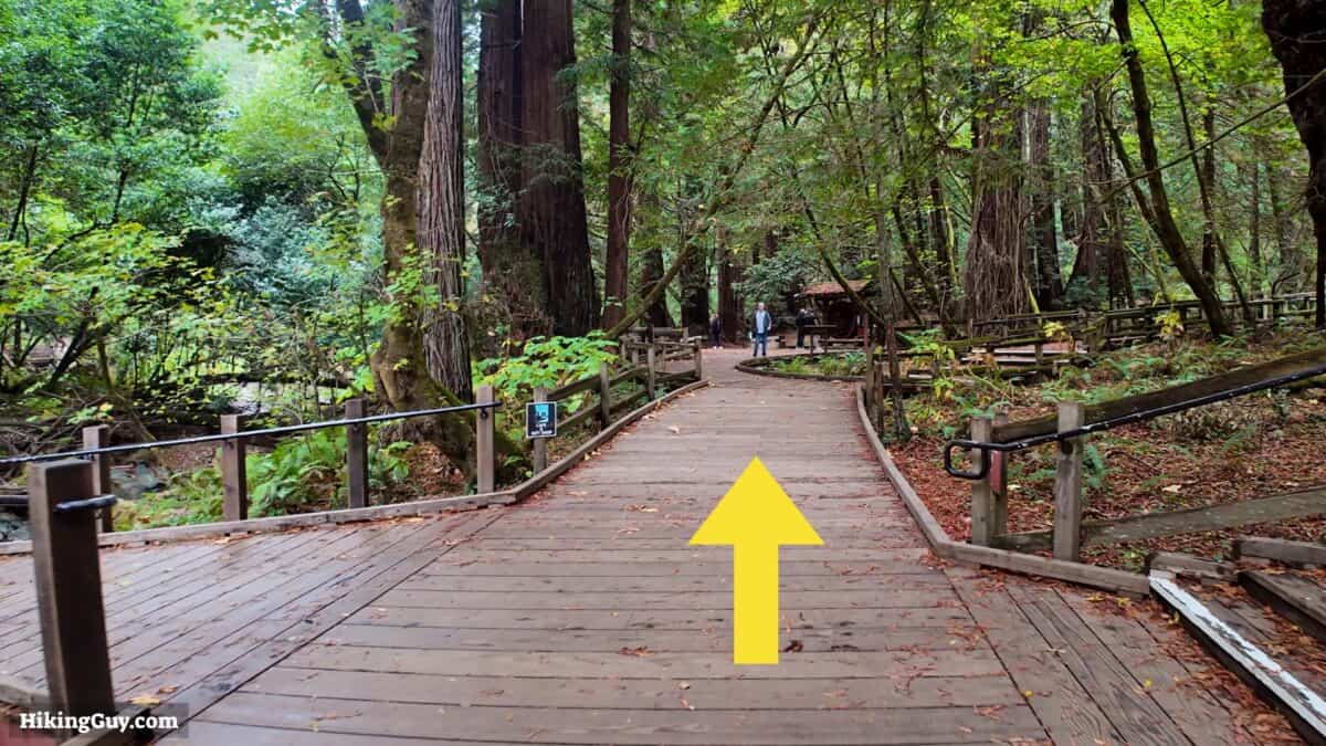
If you want to do a ½ hour, ½ mile hike, cross Bridge 2 and simply return.
If you want to do a 1 mile hike, cross Bridge 3 and return.
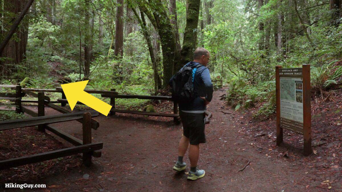
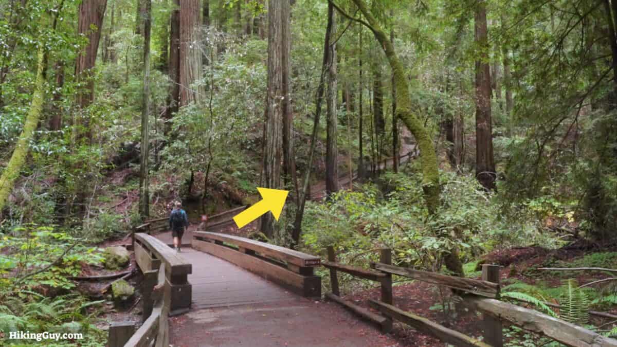
If you are in a wheelchair or have a stroller, simply backtrack from here to Bridge 3, cross over, and return to the start.
Need More Info?
- Have a question about the guide? Join my Patreon and ask me a question.
- When planning, always check the park website and social media to make sure the trails are open. Similarly, check the weather and road conditions.
- Do you have an update to this guide? View the Youtube comments for this video. Leave a comment and I will do my best to update the guide.
Related Guides
 Bootjack Loop Trail
 Canopy View Trail (Muir Woods)
 Best Hikes in the US
 Northern California Hikes
Popular Guides
 Best Hiking Gear 2024
 Hiking Boots or Shoes: Do I Really Need Hiking Boots?
 When to Hit SOS on inReach
This Guide Was Written by Cris Hazzard

Hi, I'm Cris Hazzard, aka Hiking Guy, a professional outdoors guide, hiking expert, and author based in Southern California. I created this website to share all the great hikes I do with everyone else out there. This site is different because it gives detailed directions that even the beginning hiker can follow. I also share what hiking gear works and doesn't so you don't waste money. I don't do sponsored or promoted content; I share only the gear recommendations, hikes, and tips that I would with my family and friends. If you like the website and YouTube channel, please support these free guides (I couldn't do it without folks like you!). You can stay up to date with my new guides by following me on YouTube, Instagram, or by subscribing to my monthly newsletter.