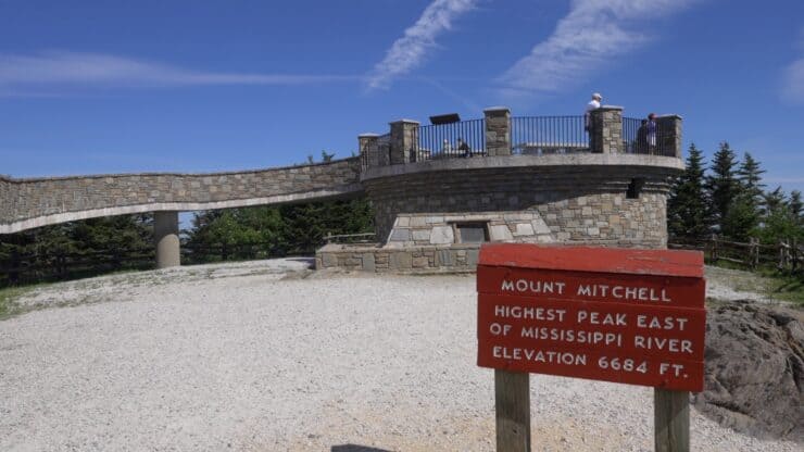

While you can drive to the highest peak east of the Mississippi, the Mt. Mitchell hike, with about 3,700 feet of climbing, is much more of an accomplishment. In this guide, I'll show you everything you need to know to conquer Mt. Mitchell on the trail.
- Video and Turn-by-Turn Directions
- Where to Park
- Insider Tips and Recommendations
Where is the Mt Mitchell Trail?
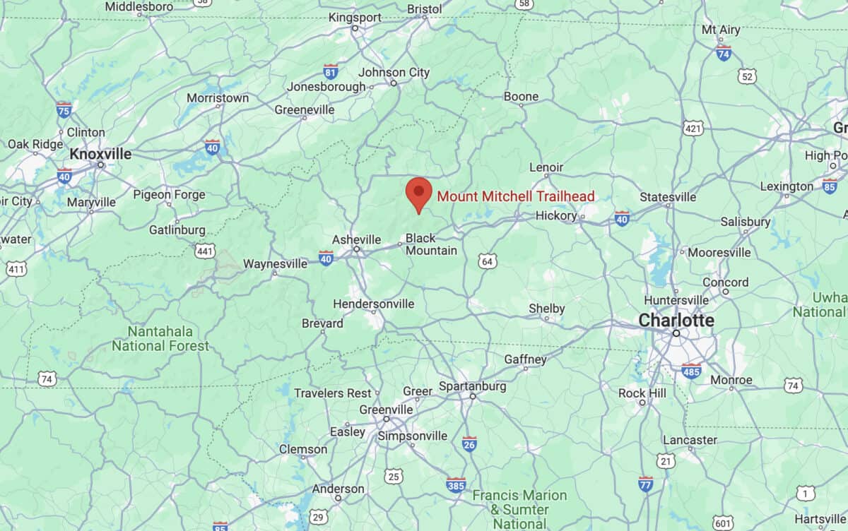
Use this trailhead address:
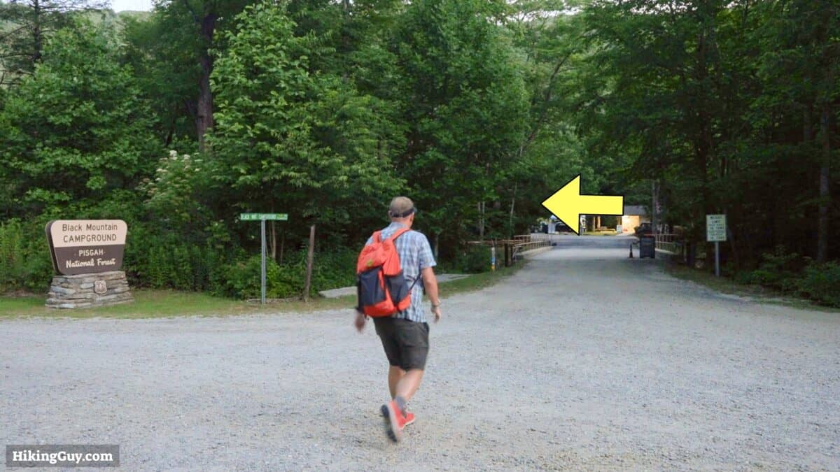
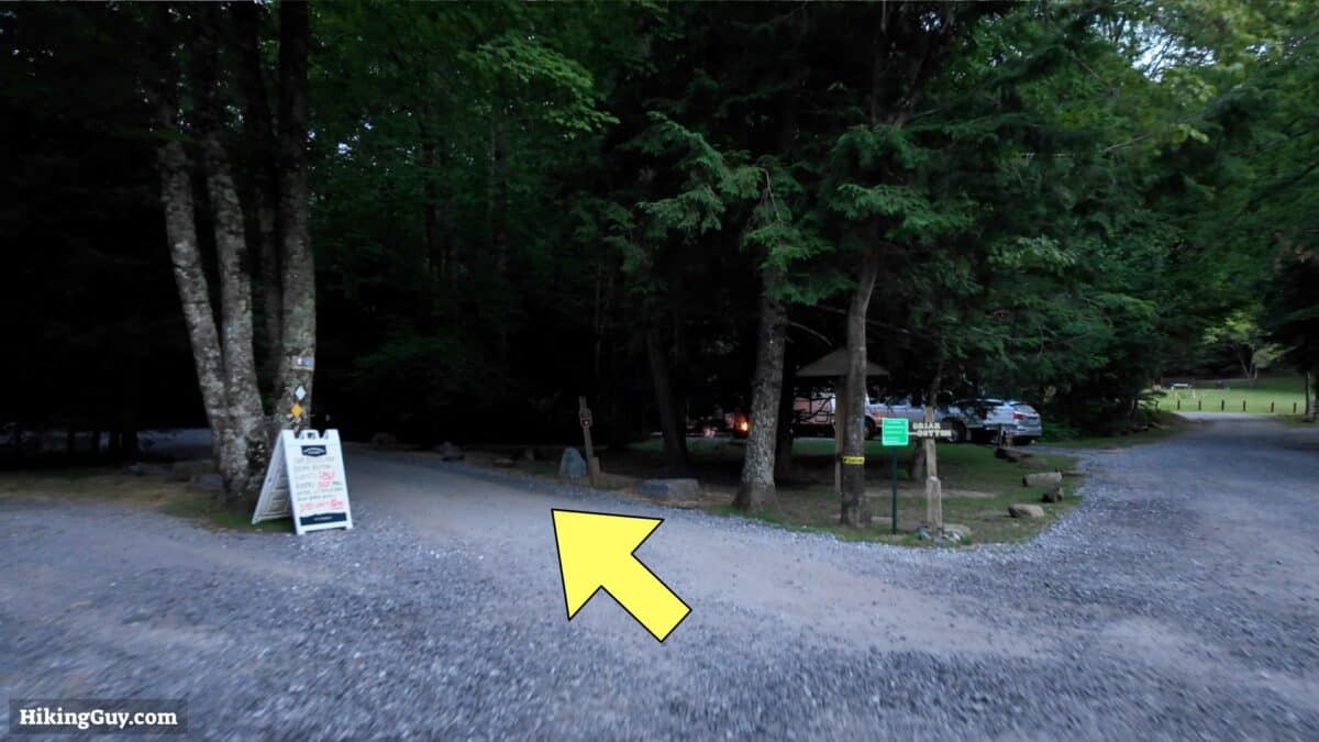
Black Mountain Campground, S Toe River Rd, Burnsville, NC 28714
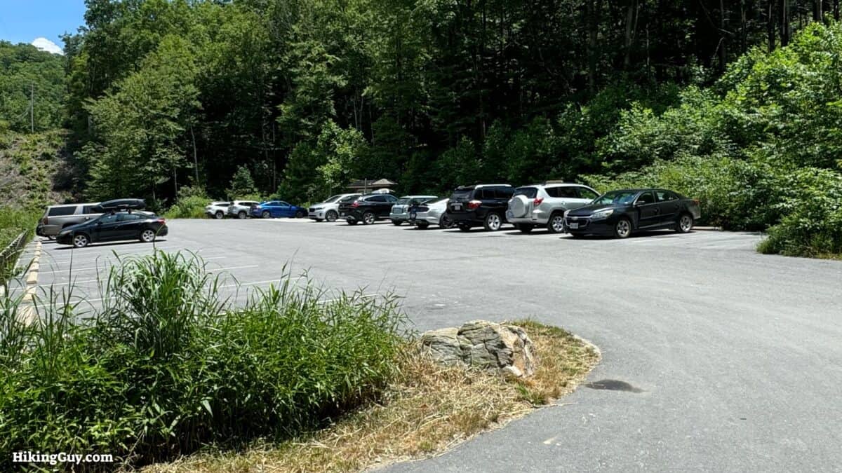
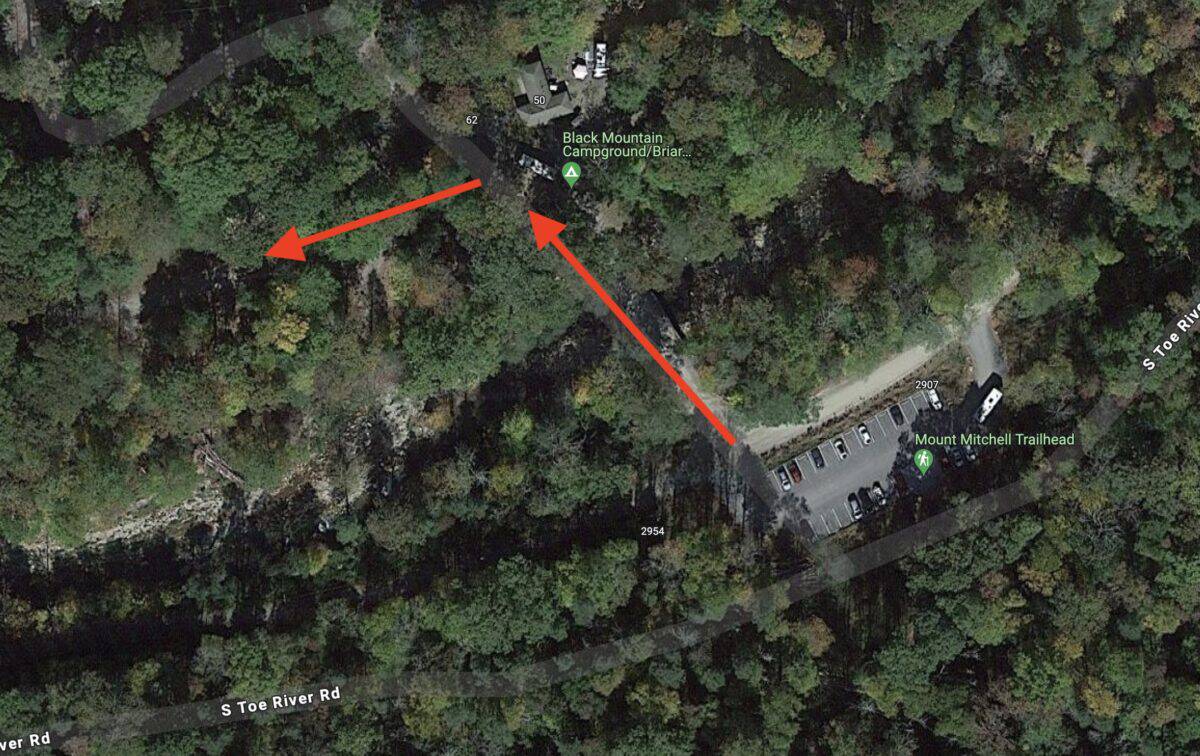
- Parking is free.
- There is no water or bathroom in the parking lot.
- You need to cross the road and start the hike in the campground. The campground has water and bathrooms.
Gear Recommendations
The Mt Mitchell Trail is a place of extremes. In the summer, it can be over 100F and humid, in the winter, there can be snow. It's important to check the mountain weather; the trail is often cooler and different than nearby Asheville.
- The trail has lots of rocks and roots. I find trail runners are best on this trail.
- If you like using trekking poles, bring them along, but they're not mandatory to tackle the hike.
- There's little to no cellular coverage. A satellite communicator is a good way to call for help if needed.
- When it's hot out, bring 1-2 liters of water for the climb. You can refill your bottle at the top by the snack bar. No filter needed for that water, but if you refill from a stream long the hike, you need to filter it.
Gear That I Love Right Now
Nothing is sponsored or promoted, just the actual gear that I use.


Check out the complete list here. ( Updated October 2024)
Mt Mitchell Trail Maps
How Will You Navigate?
 Using the Apple Watch for Hiking
 Garmin Fenix 7 & Epix Review For Hikers
 How To Read a Topographic Map
 Garmin GPSMAP 67i Review
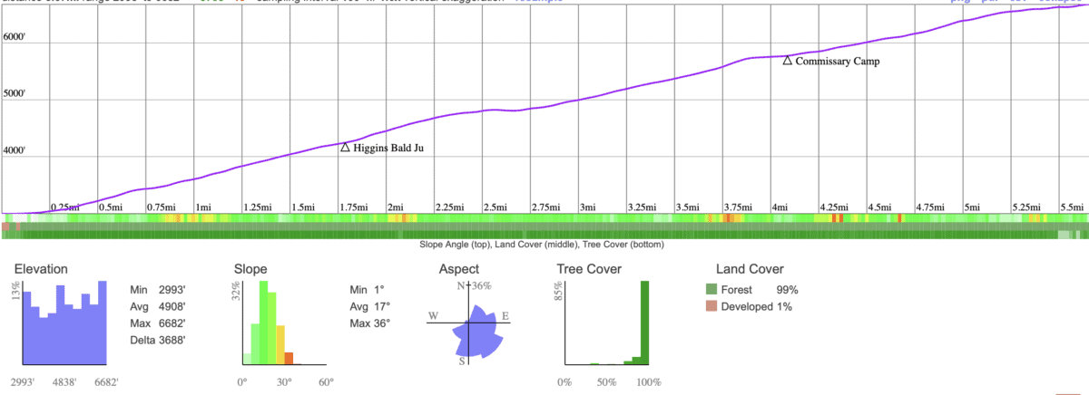
Elevation Profile
Mt Mitchell Hike Directions


Mt Mitchell Trip Vlog
Need More Info?
- Have a question about the guide? Join my Patreon and ask me a question.
- When planning, always check the park website and social media to make sure the trails are open. Similarly, check the weather and road conditions.
- Do you have an update to this guide? View the Youtube comments for this video. Leave a comment and I will do my best to update the guide.
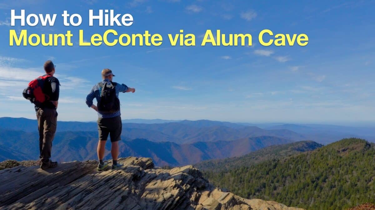 Hike Mount LeConte via Alum Cave
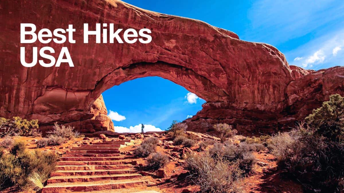 Best Hikes in the US
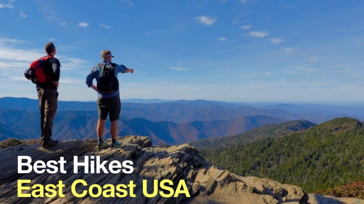 Best Hikes on the East Coast
Popular Guides
 Best Hiking Gear 2024
 Hiking Boots or Shoes: Do I Really Need Hiking Boots?
 When to Hit SOS on inReach
This Guide Was Written by Cris Hazzard

Hi, I'm Cris Hazzard, aka Hiking Guy, a professional outdoors guide, hiking expert, and author based in Southern California. I created this website to share all the great hikes I do with everyone else out there. This site is different because it gives detailed directions that even the beginning hiker can follow. I also share what hiking gear works and doesn't so you don't waste money. I don't do sponsored or promoted content; I share only the gear recommendations, hikes, and tips that I would with my family and friends. If you like the website and YouTube channel, please support these free guides (I couldn't do it without folks like you!). You can stay up to date with my new guides by following me on YouTube, Instagram, or by subscribing to my monthly newsletter.