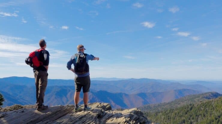

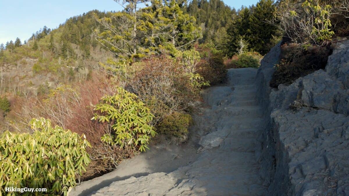
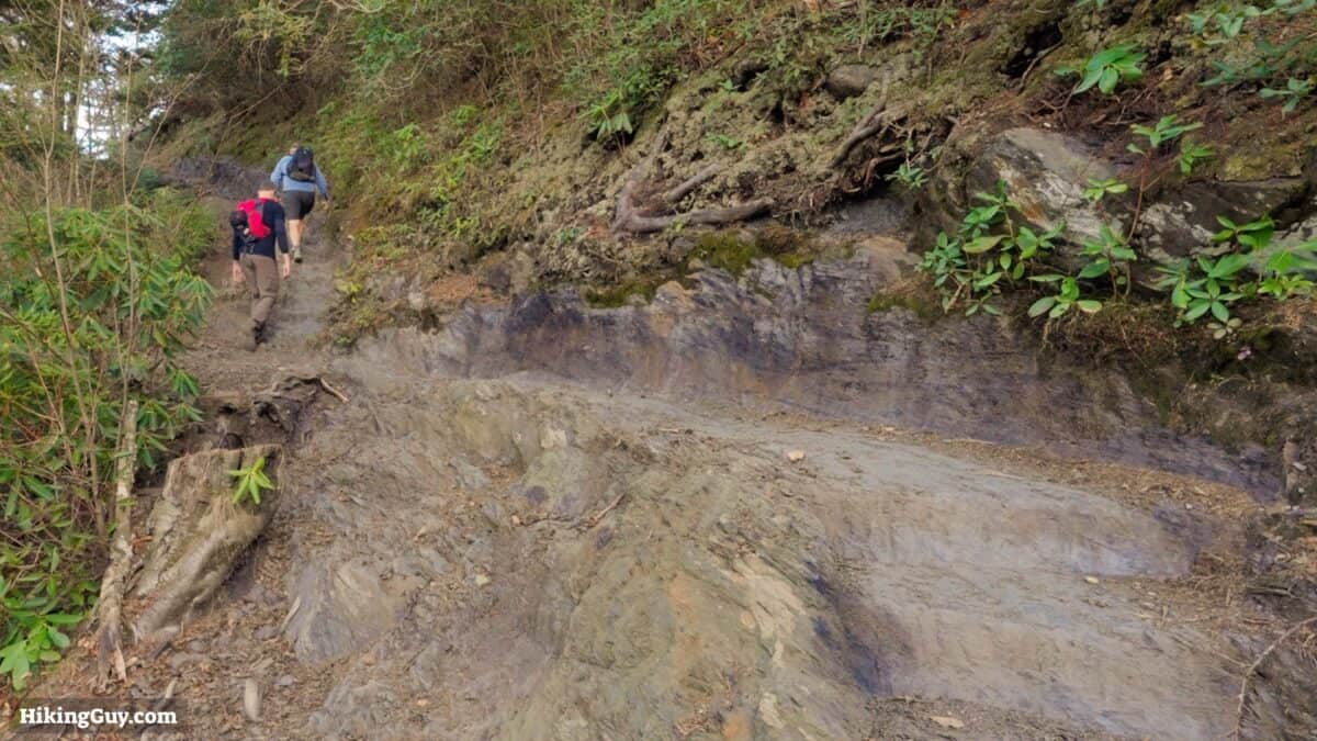
The hike to Mount LeConte from the Alum Cave Trail is considered the marquis trail in Great Smoky Mountains National Park. It's a challenging hike but very doable by most folks. The trail is beautiful, easy to follow, and offers lots to see along the way.
- Turn by Turn Hike Directions & Video
- Interactive Trail Maps
- Insider Tips & Recommendations
Where is the Alum Cave Trail?
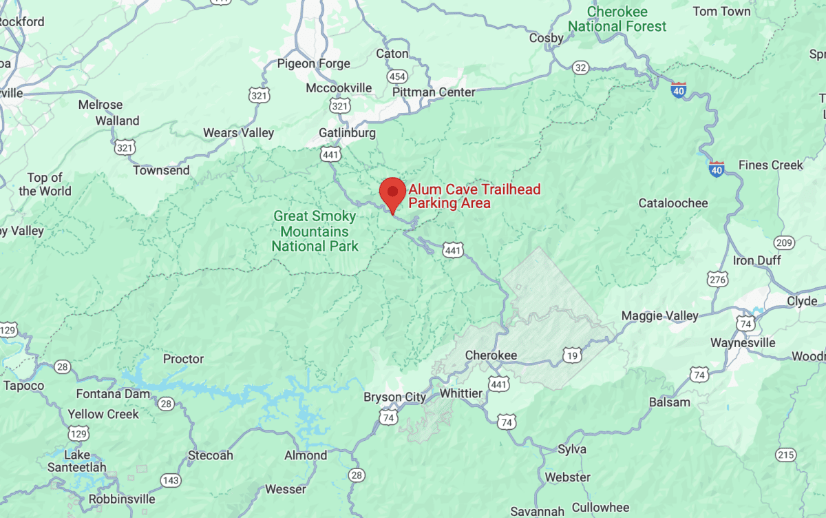
Use this trailhead address:
Alum Cave Trailhead Parking Area, 3639 Newfound Gap Rd, Gatlinburg, TN 37738
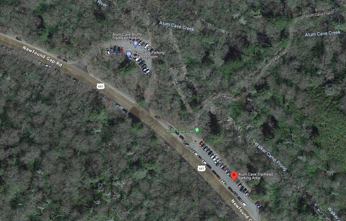
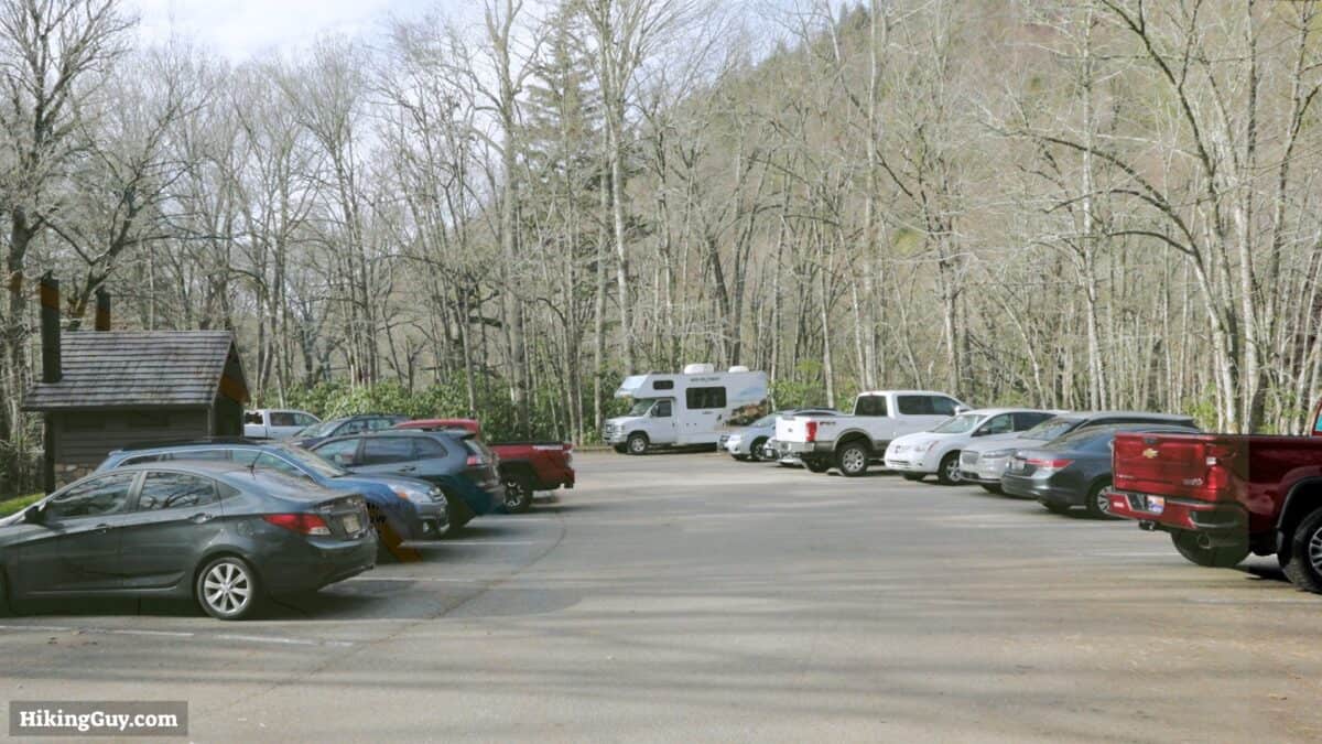
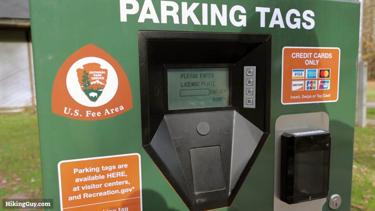
This is the most popular hike in the park. Get here at sunrise for your best chances at getting a parking spot.
Gear Recommendations
This is a true backcountry hike, and you should prepare accordingly.
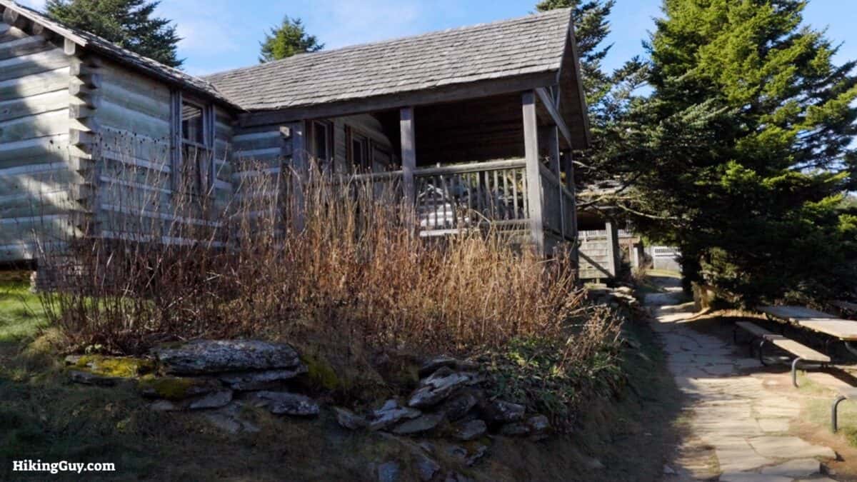
- Bring at least 1.5 liters of water. You can refill at Lactone Lodge at the top.
- Trail runners work best on the dirt trail, which can get wet and muddy.
- Bring a snack to fuel up; this is a long hike.
- Be prepared for changing conditions with some layers and a rainshell.
- There's no phone coverage, so having a satellite communicator is a smart bet.
- In the winter, it can be snowy and icy. Check the mountain weather link at the top of this page for the conditions, which will usually differ from those at the start of the hike or in Gatlinburg.
Gear That I Love Right Now
Nothing is sponsored or promoted, just the actual gear that I use.


Check out the complete list here. ( Updated July 2024)
Worth Noting

- According to the USGS, Mt LeConte is named after Joseph Le Conte (1823-1901), a geologist and early conservationist. Le Conte was a co-founder of the Sierra Club with John Muir in 1892. He was such a popular guy that after he died in 1901, he became the namesake for Le Conte Glacier, Le Conte Canyon, Le Conte Divide, Le Conte Falls, Le Conte Mountain, and Le Conte Lodge.
- But some people say it's named after Joseph's older brother, John, who helped measure the mountain's elevation.
- These mountains are some of the oldest in the world. The Smokies date back 200-300 million years.
Mount LeConte Trail Maps
How Will You Navigate?
 Using the Apple Watch for Hiking
 Garmin Fenix 7 & Epix Review For Hikers
 How To Read a Topographic Map
 Garmin GPSMAP 67i Review
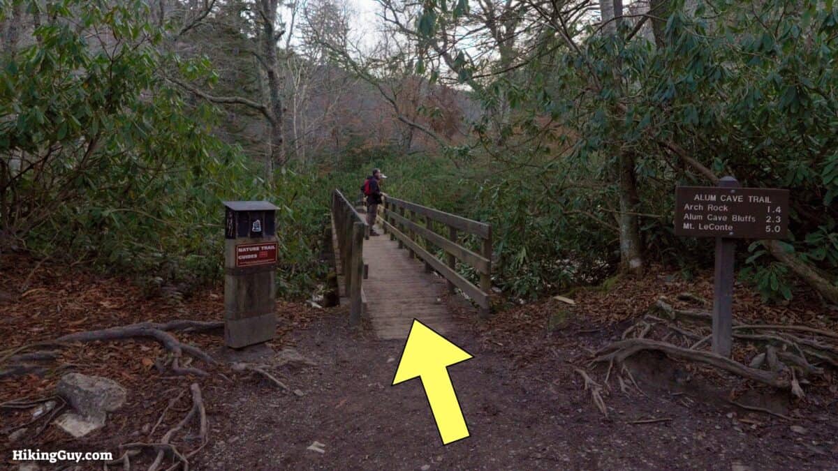
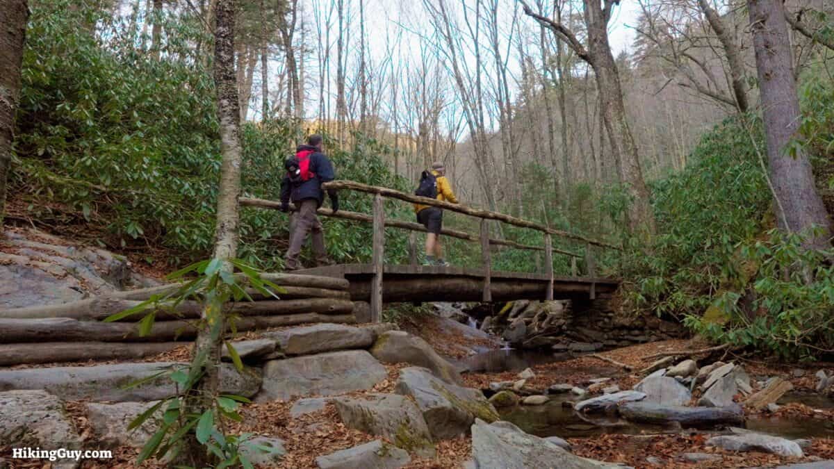
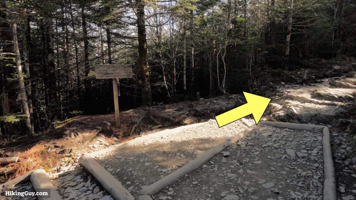
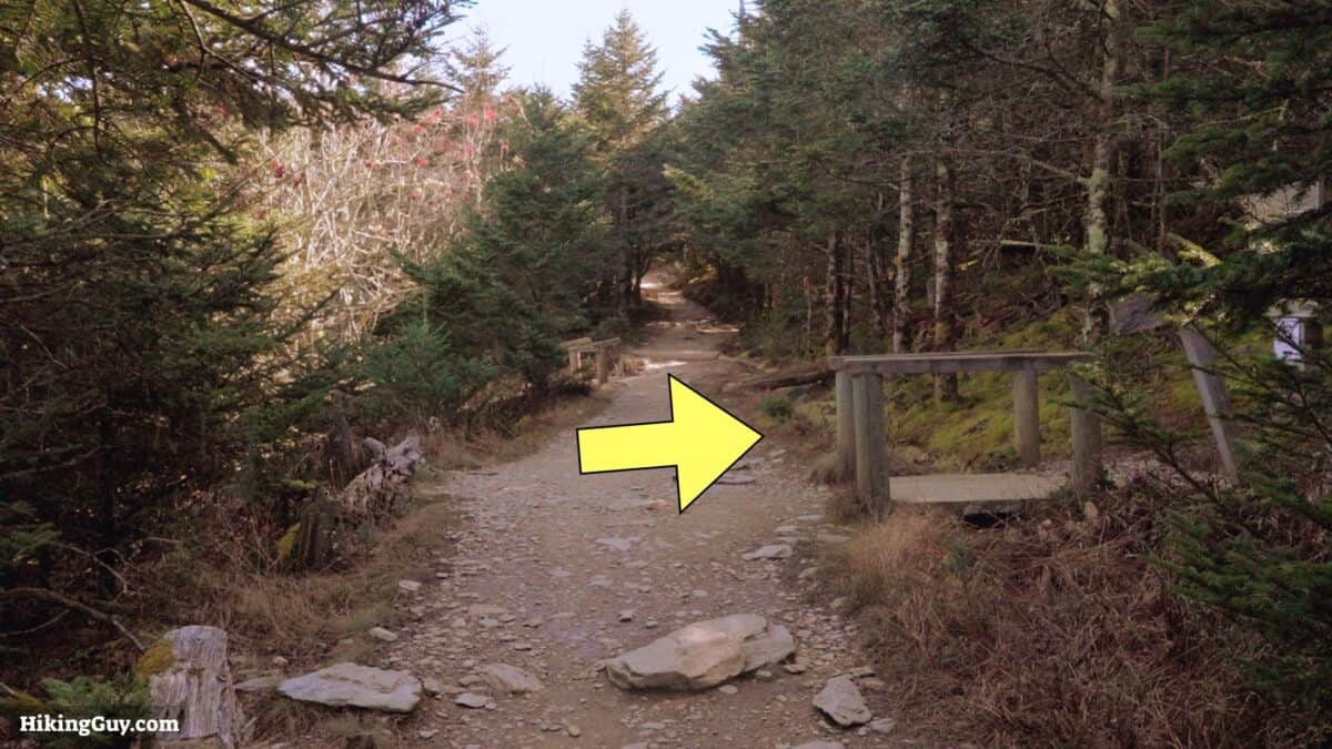
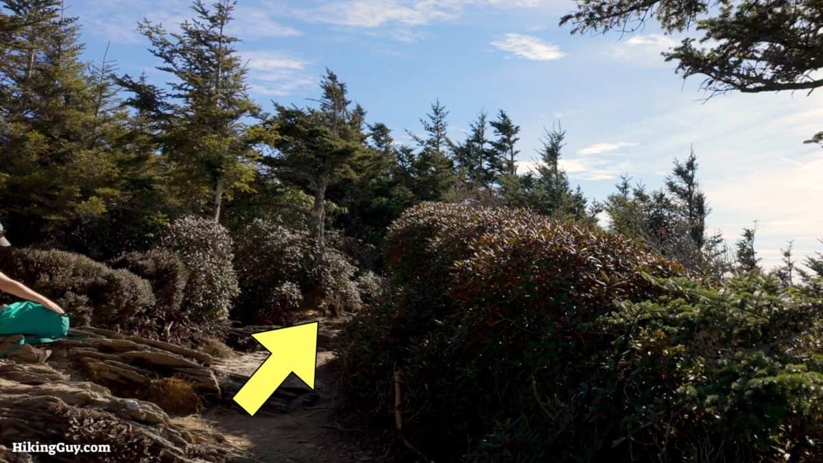
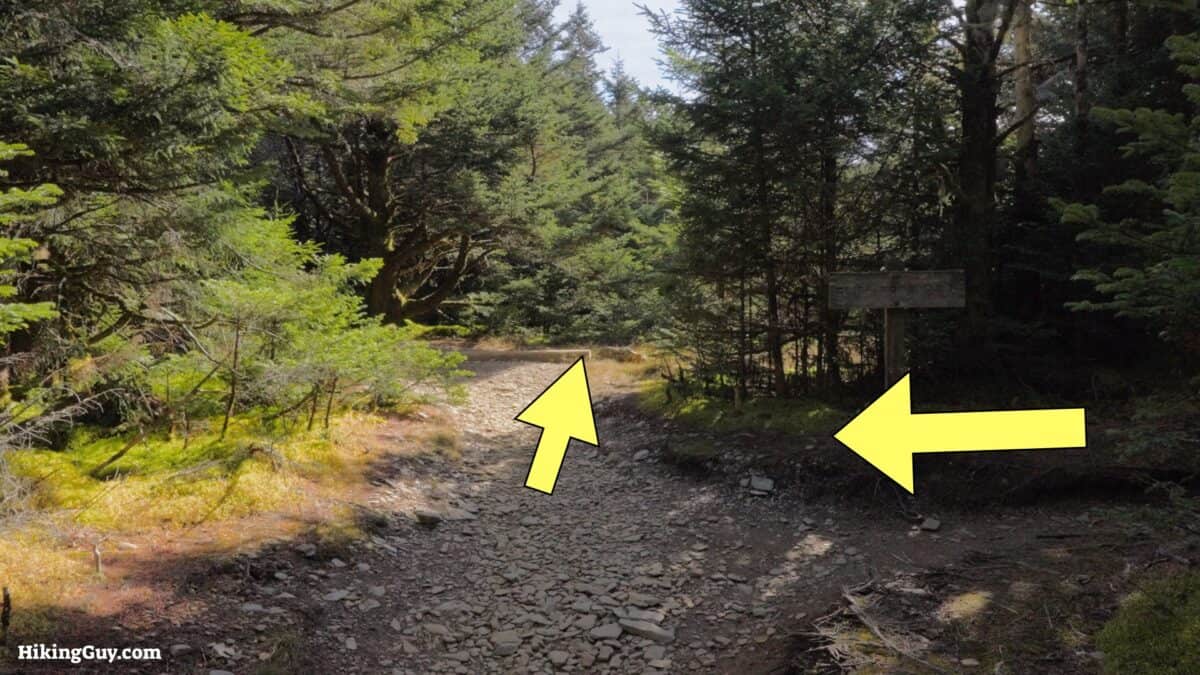
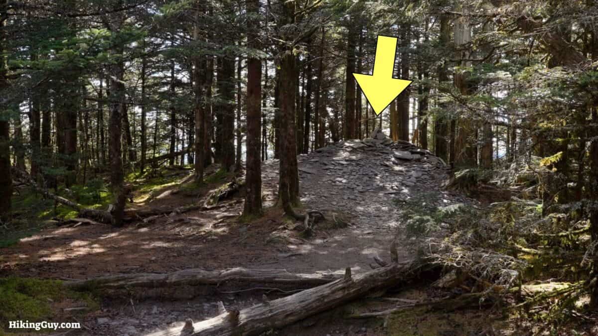
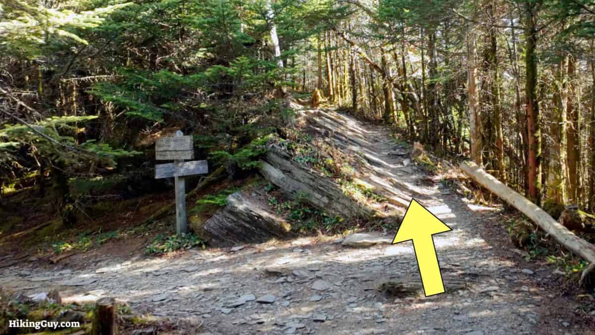
Mount LeConte Hike Directions
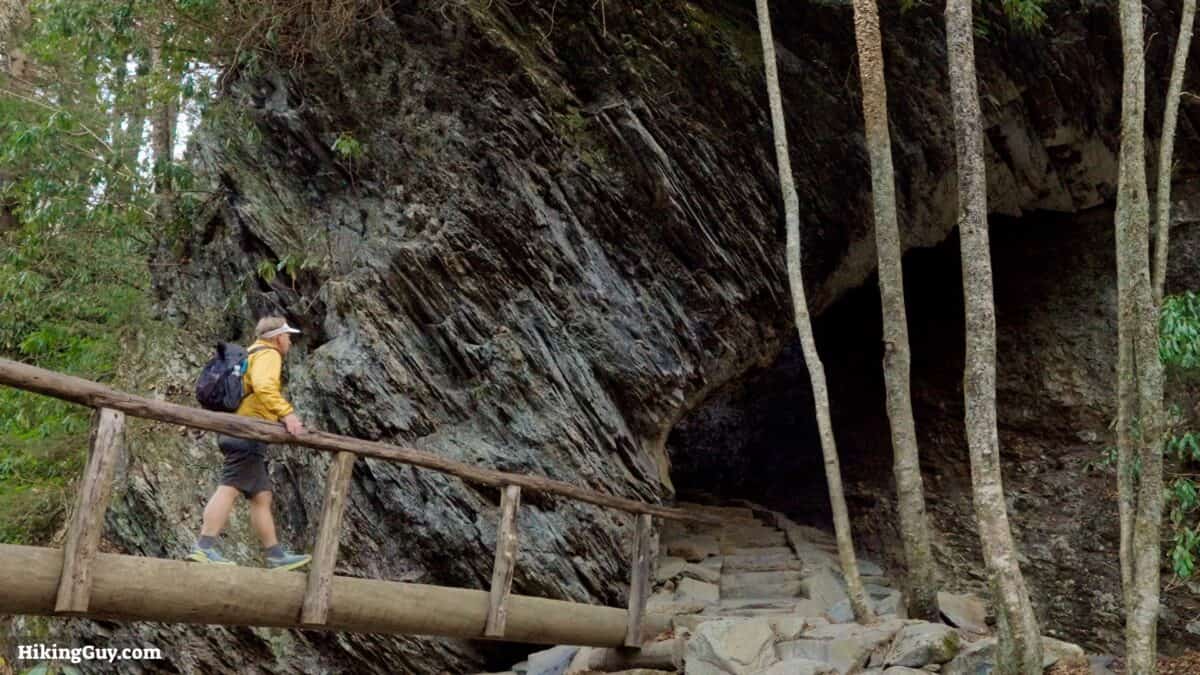
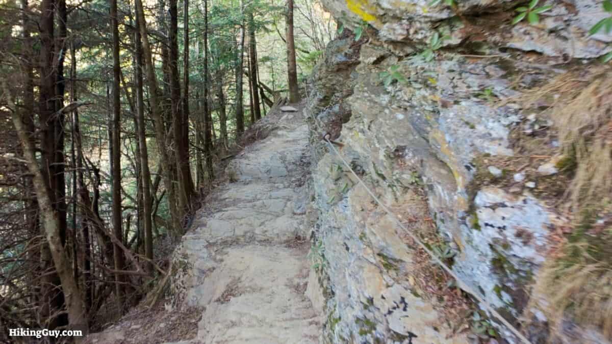
The arch came into being as the softer rock underneath the harder rock was worn away by the cycle of freezing and thawing.
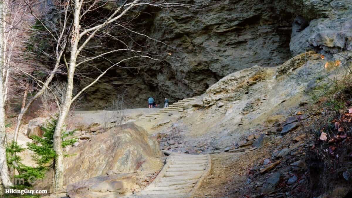
Alum Cave Bluffs, named for the alum deposits found here in the 1800s, are a prominent geological formation characterized by a vast, overhanging cliff about 80 feet high and 500 feet wide.
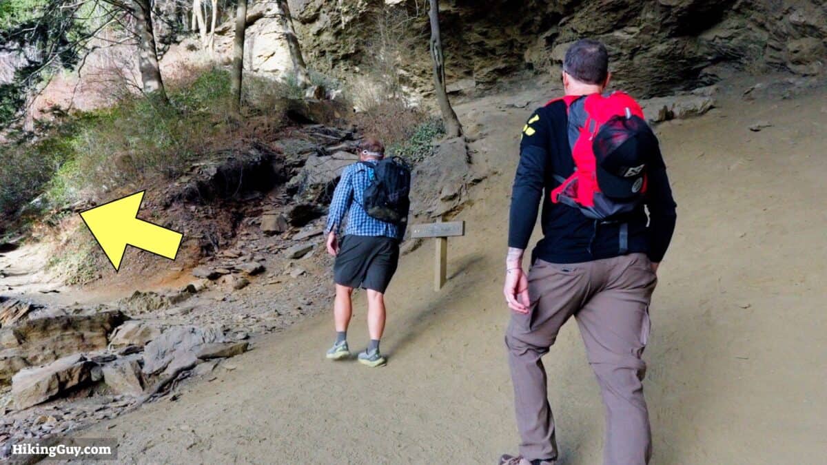
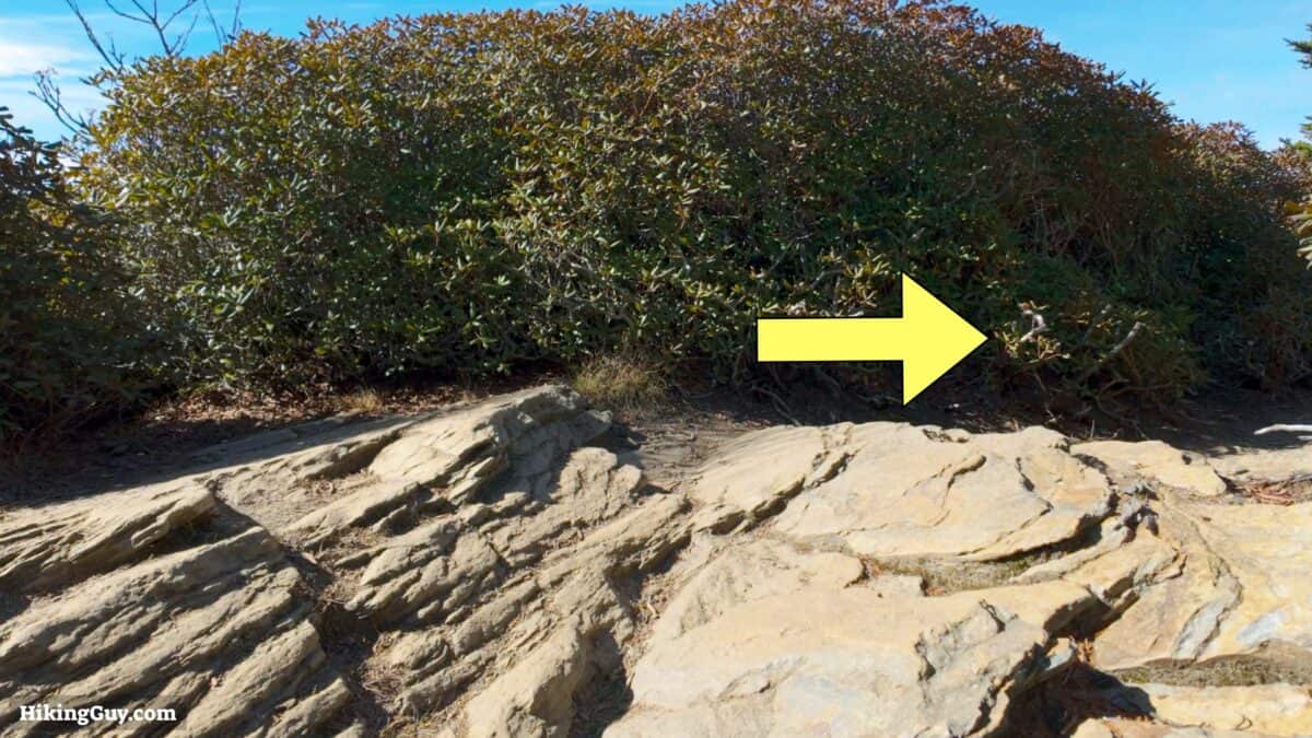
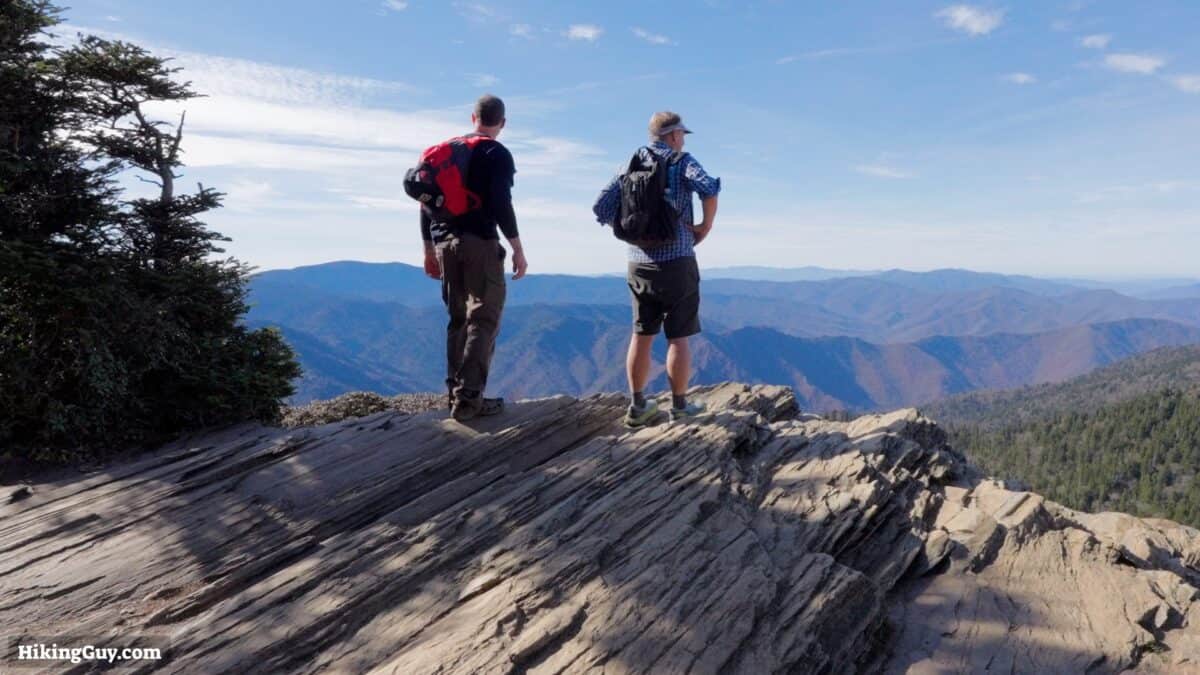
For a better viewpoint, continue straight past the summit on the short downhill.
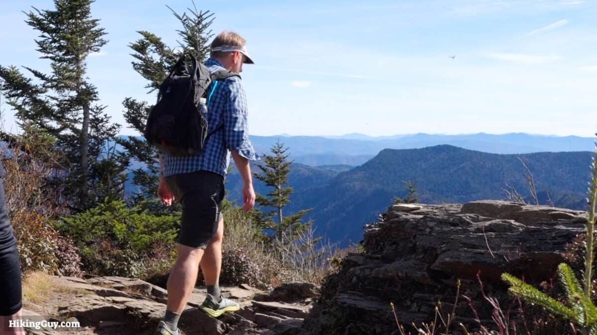
You can avoid the spur to Cliff Top and just go straight down.
Need More Info?
- Have a question about the guide? Join my Patreon and ask me a question.
- When planning, always check the park website and social media to make sure the trails are open. Similarly, check the weather and road conditions.
- Do you have an update to this guide? View the Youtube comments for this video. Leave a comment and I will do my best to update the guide.
Related Guides
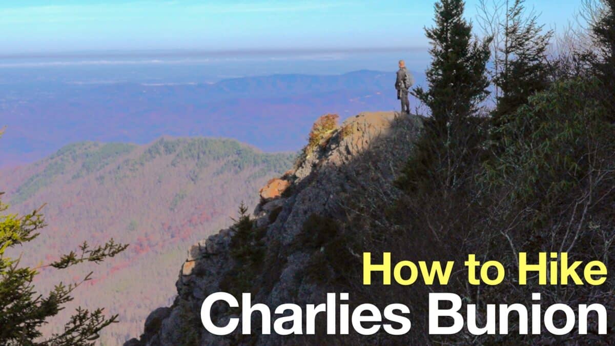 Charlies Bunion Trail Hike
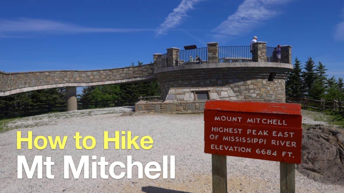 Mt Mitchell Hike
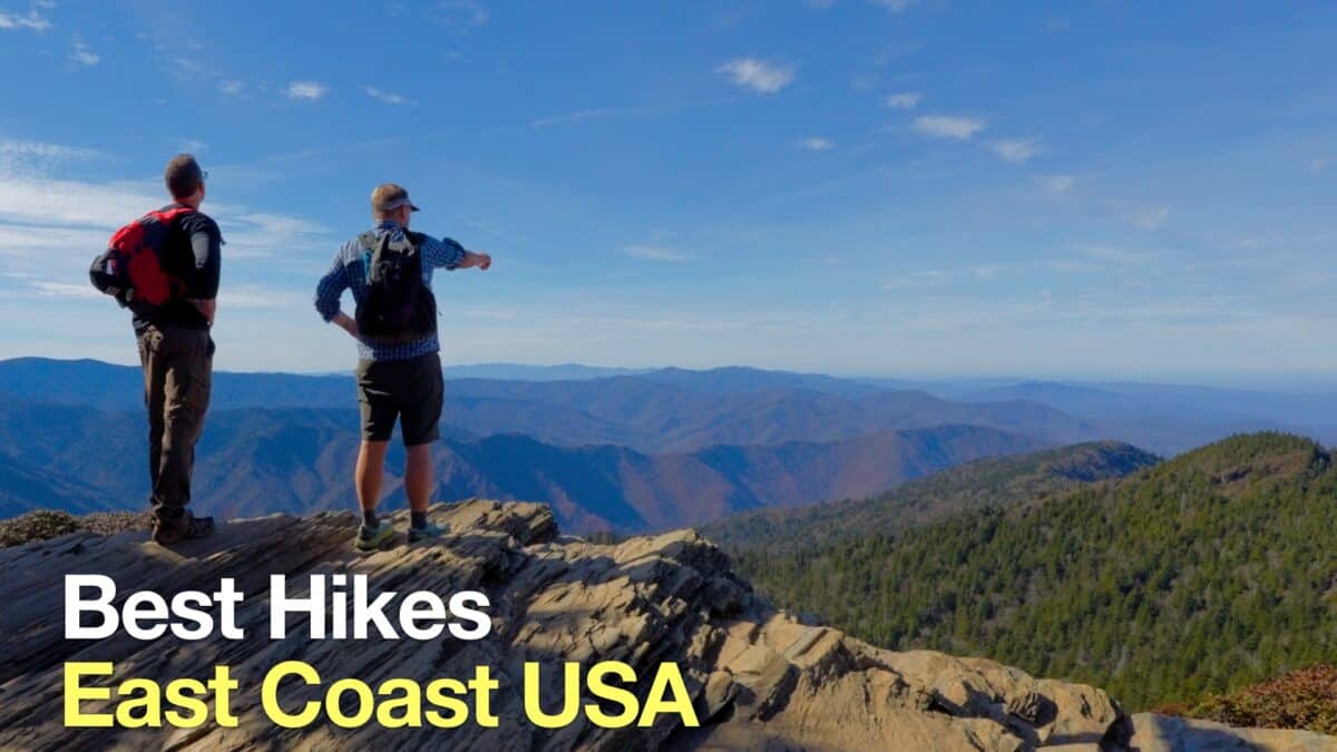 Best Hikes on the East Coast
 Best Hikes in the World
Popular Guides
 Best Hiking Gear 2024
 Hiking Boots or Shoes: Do I Really Need Hiking Boots?
 When to Hit SOS on inReach
This Guide Was Written by Cris Hazzard

Hi, I'm Cris Hazzard, aka Hiking Guy, a professional outdoors guide, hiking expert, and author based in Southern California. I created this website to share all the great hikes I do with everyone else out there. This site is different because it gives detailed directions that even the beginning hiker can follow. I also share what hiking gear works and doesn't so you don't waste money. I don't do sponsored or promoted content; I share only the gear recommendations, hikes, and tips that I would with my family and friends. If you like the website and YouTube channel, please support these free guides (I couldn't do it without folks like you!). You can stay up to date with my new guides by following me on YouTube, Instagram, or by subscribing to my monthly newsletter.