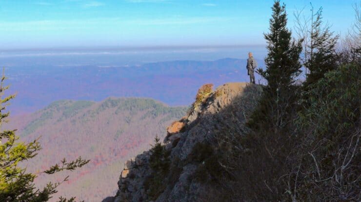
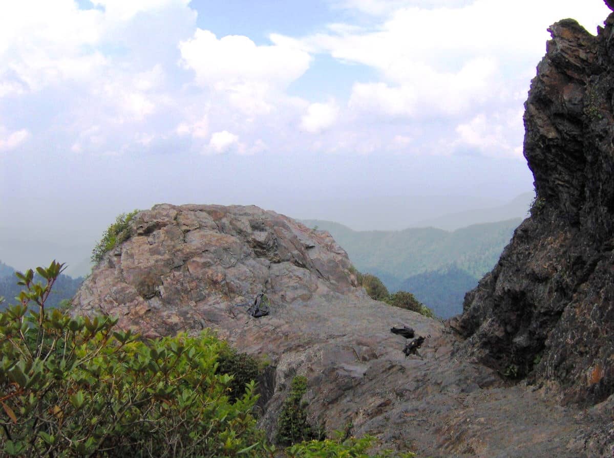
Charlies Bunion Trail is an underrated hike; it's among the best day hikes in Great Smoky Mountains National Park. It's challenging without being too hard and offers incredible views and a mini-Application Trail experience. The Charlies Bunion Trail is one of my favorites in the park.
- Video and Turn-by-Turn Directions
- Where to Park
- Insider Tips & Recommendations
Where is Charlies Bunion Trail?
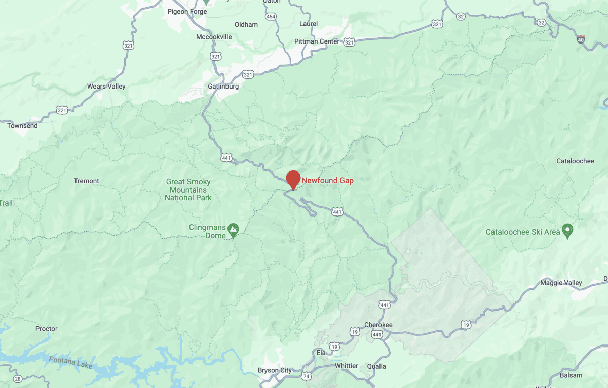
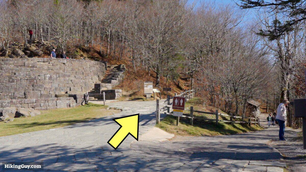
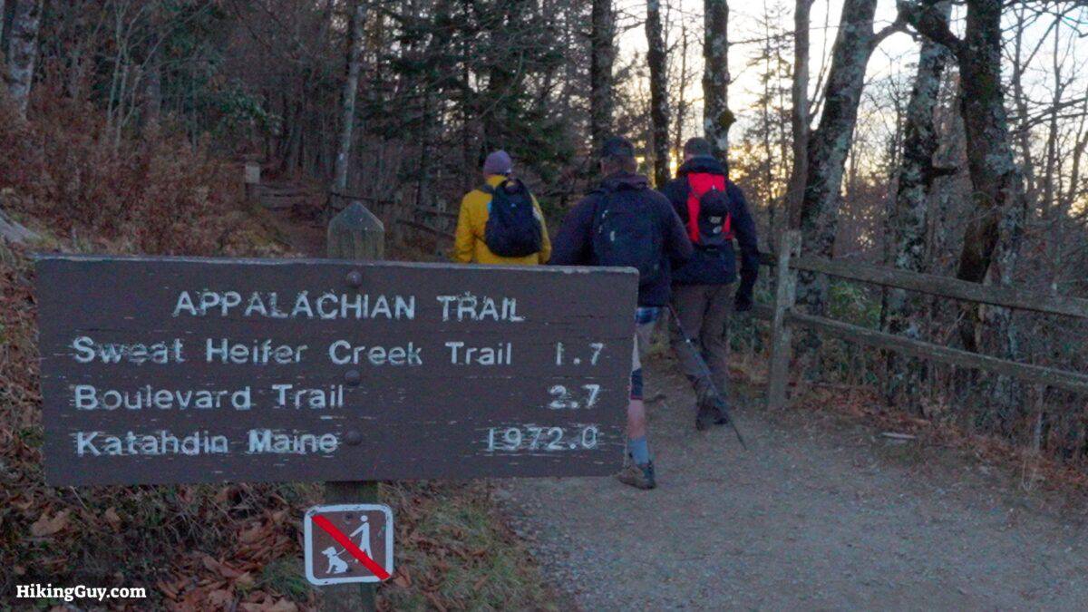
The trailhead is at Newfound Gap, nearly a mile above sea level on the TN and NC border. Use this trailhead address:
Newfound Gap Parking Area, Bryson City, NC 28713
You need a parking tag if you are leaving your vehicle to hike. You can get them at the Visitor Center with a credit card 24 hours a day.

I recommend doing this hike at sunrise. You'll get great colors, your best chance at seeing the "smoky" vapor from the trees, and less crowds.
Gear Recommendations
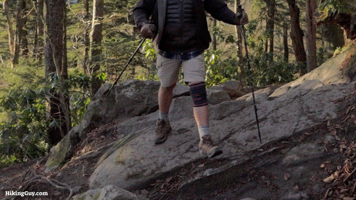
- The trail is rocky, root-filled, and can be muddy. If you're not a regular hiker, you might think that hiking boots are the best move, but most Appalachian Trail hikers use trail runners. They offer a great blend of protection and comfort.
- You'll be over a mile above sea level at points along this hike. It's generally colder and more extreme than nearby Gatlinburg and Cherokee. Check the mountain forecast link at the top of this guide. If it's snowy and icy, this hike is best done at another time. Even if conditions are good, bring an extra layer and shell. Summer thunderstorms are not uncommon.
- Although this isn't a big mountain climb, there's a fair bit of up and down along the way. If you like using trekking poles, this is a good place to have them.
- This is a backcountry hike and you should be prepared with the essentials.
- Cellular reception is generally non-existent. Bring a satellite communicator if you have one.
Gear That I Love Right Now
Nothing is sponsored or promoted, just the actual gear that I use.


Check out the complete list here. ( Updated July 2024)
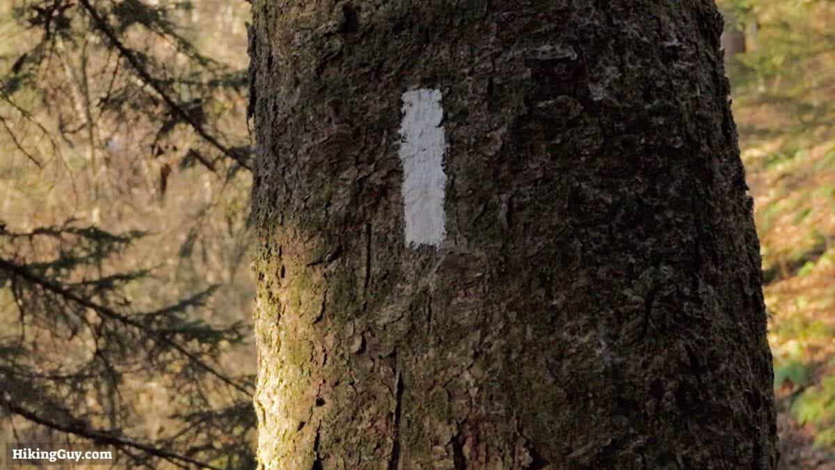
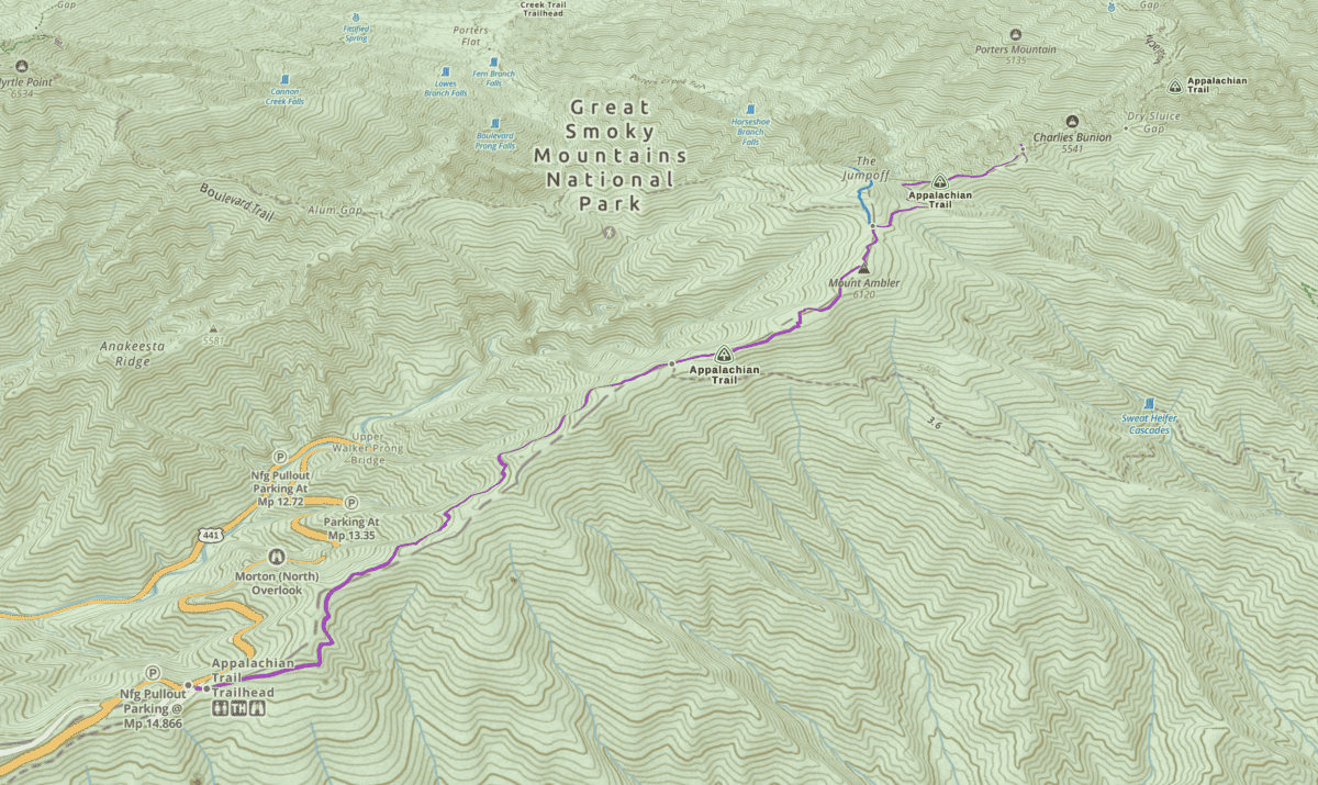
Charlies Bunion Trail Maps
How Will You Navigate?
 Using the Apple Watch for Hiking
 Garmin Fenix 7 & Epix Review For Hikers
 How To Read a Topographic Map
 Garmin GPSMAP 67i Review
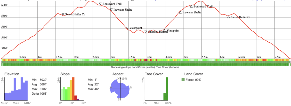
Elevation Profile
3D Map
Worth Noting
- Although there are no big mountain peaks on this hike, the ridge you hike on is amongst the highest elevations east of the Mississippi River, with some points above 6,000 feet, over a mile above sea level.
- One of the nice things about this hike is that it gives you a "best of" taste of the Appalachian Trail. I haven't done the entire through-hike myself, but I have logged a few hundred miles, and these are some of the nicest. You get some views, one of the nicest lodges (Icewater Spring Shelter), and no real steep sections.
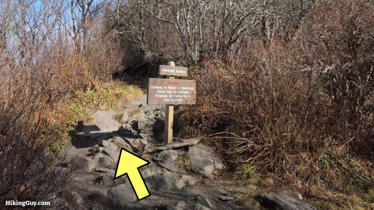
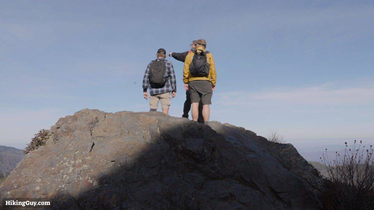
- Right next to Charlies Bunion is Masa Knob, named after George Masa, a Japanese native who emigrated to Asheville in 1916. His photos are incredible and helped raise awareness and protection to what eventually became Great Smoky Mountains National Park. He was even mentioned in Ken Burn's National Park. documentary (worth watching).
- On the way back I recommend adding on a mile to visit The Jump Off, where you get views of Charlies Bunion. The directions are in the video and on the map.
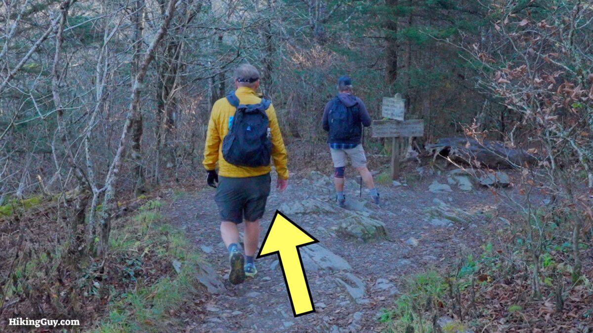
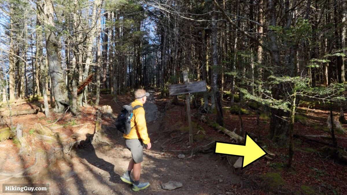
Charlies Bunion Hike Directions
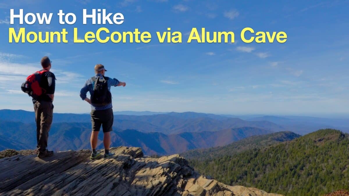 Hike Mount LeConte via Alum Cave
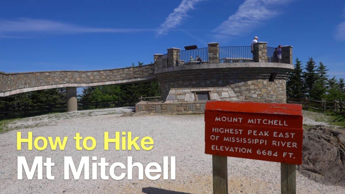 Mt Mitchell Hike
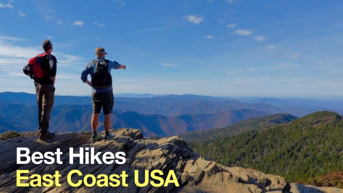 Best Hikes on the East Coast
Popular Guides
 Best Hiking Gear 2024
 Hiking Boots or Shoes: Do I Really Need Hiking Boots?
 When to Hit SOS on inReach
This Guide Was Written by Cris Hazzard

Hi, I'm Cris Hazzard, aka Hiking Guy, a professional outdoors guide, hiking expert, and author based in Southern California. I created this website to share all the great hikes I do with everyone else out there. This site is different because it gives detailed directions that even the beginning hiker can follow. I also share what hiking gear works and doesn't so you don't waste money. I don't do sponsored or promoted content; I share only the gear recommendations, hikes, and tips that I would with my family and friends. If you like the website and YouTube channel, please support these free guides (I couldn't do it without folks like you!). You can stay up to date with my new guides by following me on YouTube, Instagram, or by subscribing to my monthly newsletter.