

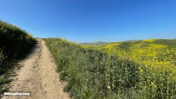
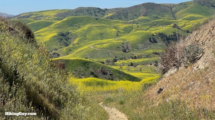
Bane Canyon, located in Chino Hills State Park, comes alive with flowers in the spring. In this moderate loop hike, you'll leave the crowds behind and circle picturesque Bane Canyon. Along the way, you'll enjoy the landscape of Chino Hills, views of the high mountains, and hopefully, lots of colorful flowers. It's a fun hike that's doable by most folks in decent shape.
- Video and Turn-by-Turn Directions for the Bane Canyon Loop Trail
- Getting to the Bane Canyon Loop Trail in Chino Hills State Park
- Insider Tips and Recommendations for the Hike
Where is the Bane Canyon Loop Trail?
Although the hike takes place within Chino Hills State Park, you can park just outside the park's North Entrance on the street, and it's free. Use this trailhead address:
4730 Sapphire Rd, Chino Hills, CA 91709


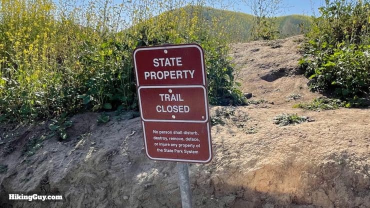
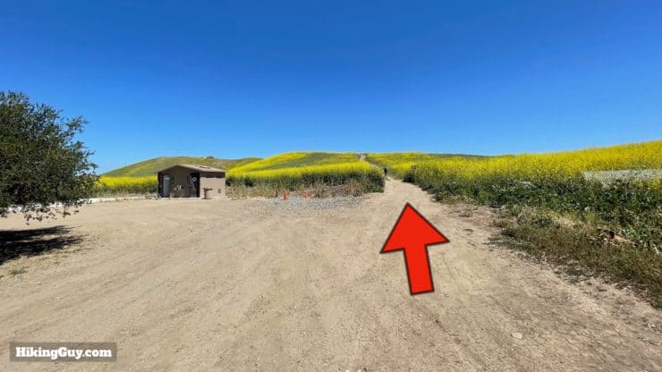
You'll see cars driving up Bane Canyon Road into the park. Bane Canyon Road is paved and open to motor vehicles. We'll be hiking on it for a short stretch and then leaving it behind for the trails.
Gear For the Hike
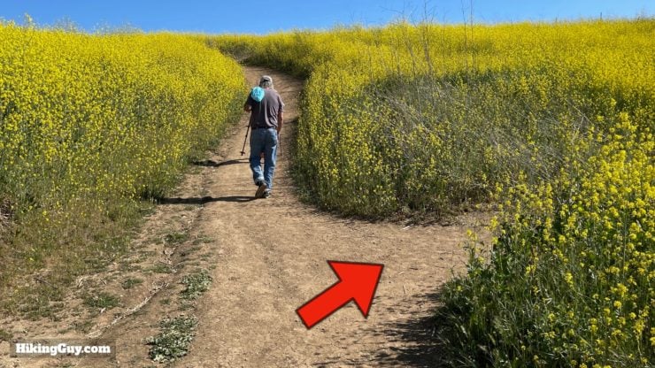
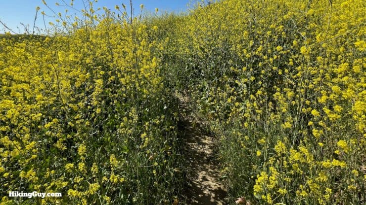
This is a moderate hike that can be done in hiking for fitness clothing. It can get hot in the summer, so bring 2L of water and sun protection. There is no shade on the hike. There can be overgrown sections of trail, so wear insect repellant and long pants if you don't want to brush up against anything.
Gear That I Love Right Now
Nothing is sponsored or promoted, just the actual gear that I use.


Check out the complete list here. ( Updated October 2024)
Bane Canyon Trail Maps
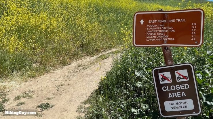
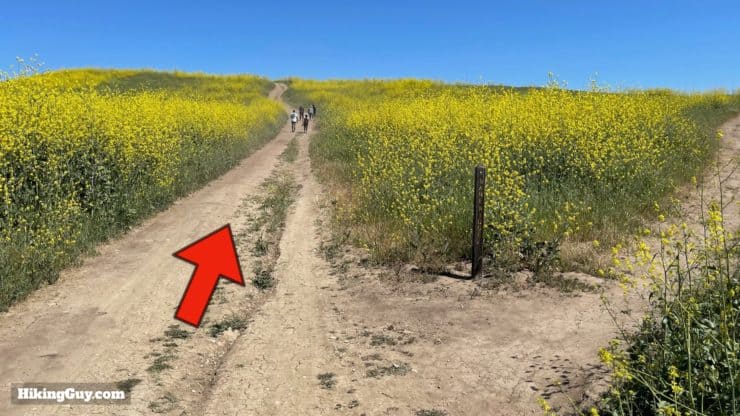
If you do an internet search for the Bane Canyon hike, you'll likely see various options. Most routes will have you going down the paved road and then coming back on Bane Ridge Trail. For me, this is probably the worst route you can take. There are cars, lots of people, and limited views. The loop that I outline in this guide may be a mile or two longer, but it's infinitely nicer and has you get away from the crowds for a good portion of the hike.
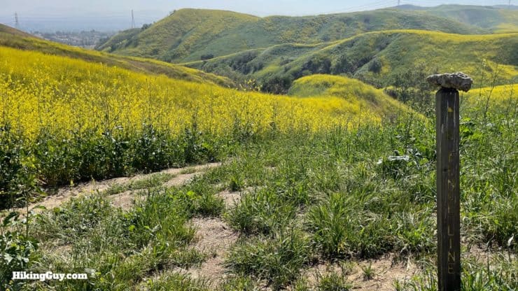
If it's been a wet winter or spring, some of these trails can be overgrown in the spring.
How Will You Navigate?
 Using the Apple Watch for Hiking
 Garmin Fenix 7 & Epix Review For Hikers
 How To Read a Topographic Map
 Garmin GPSMAP 67i Review
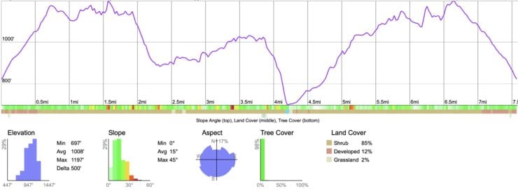
Elevation Profile
3D Map
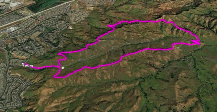
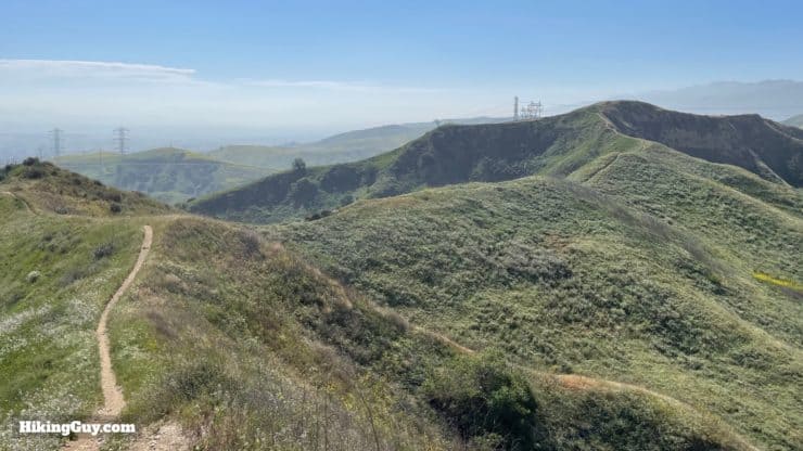
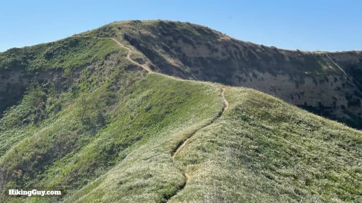
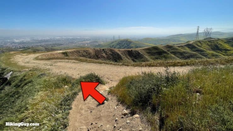
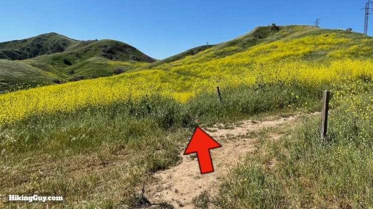
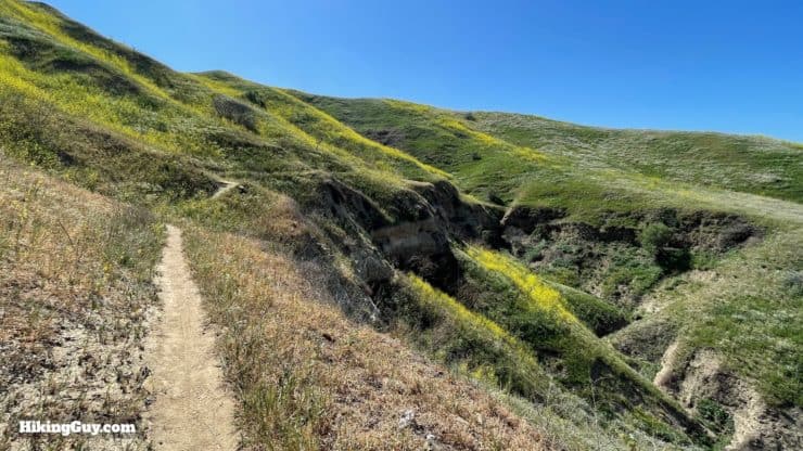
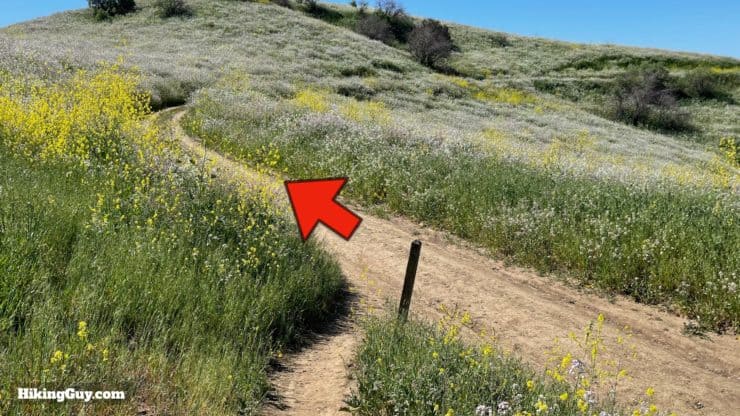
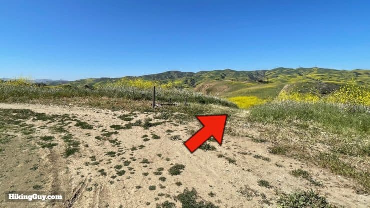
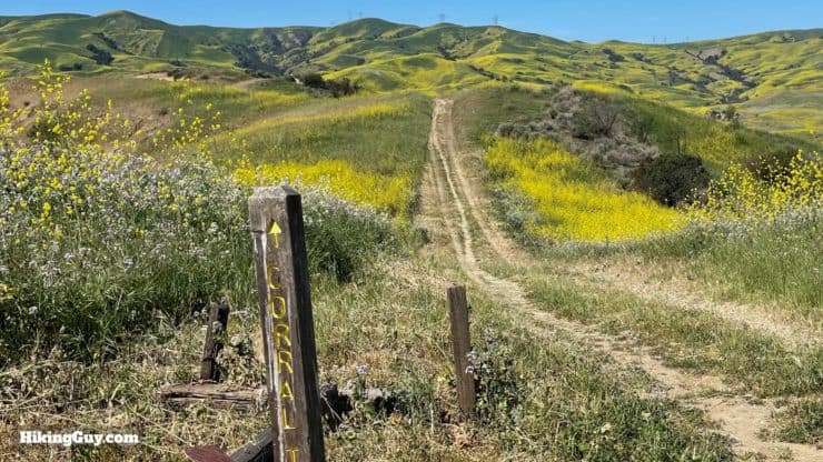
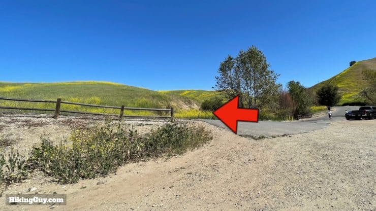
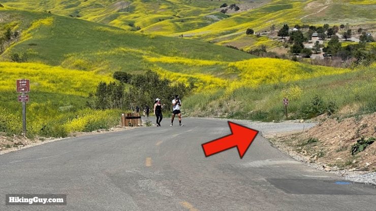
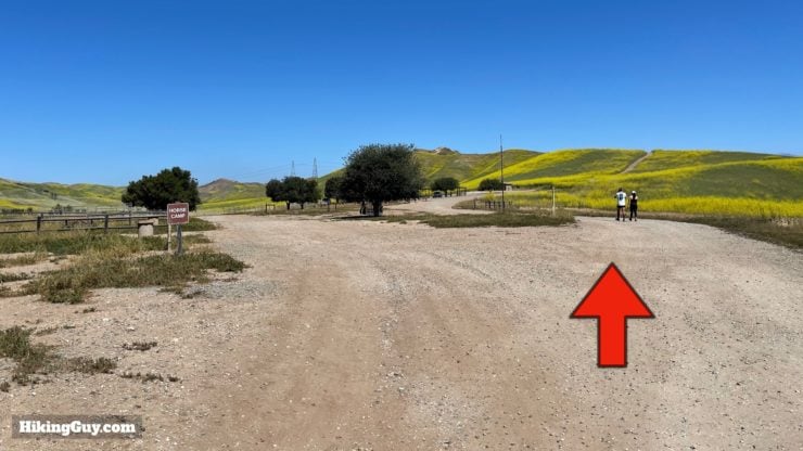
Bane Canyon Loop Hike Directions

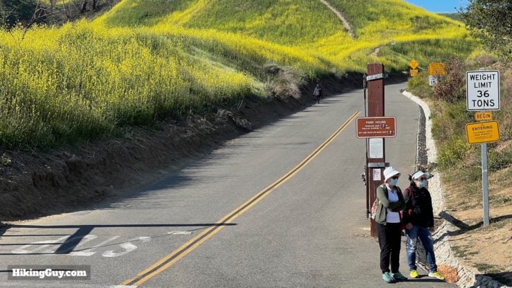
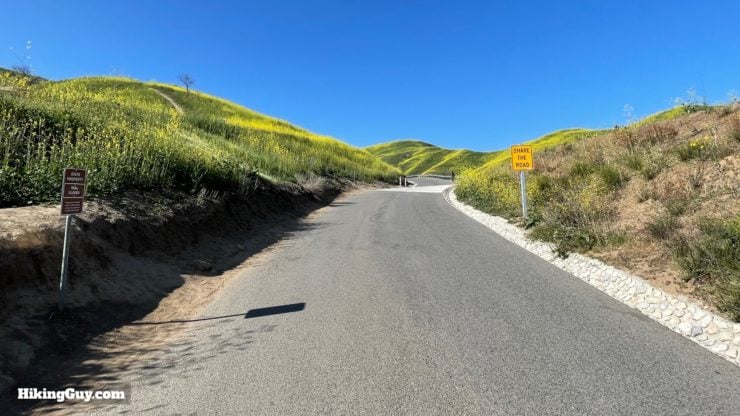


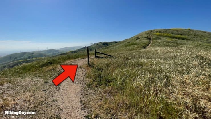


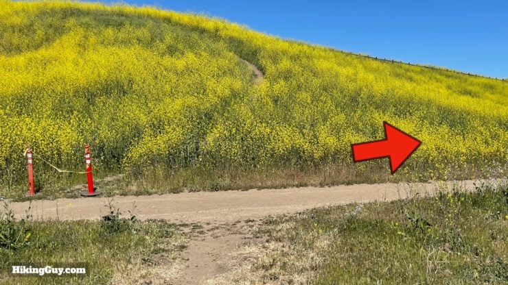
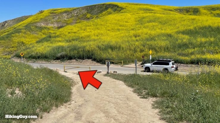
You can also go straight across the road to the "equestrian staging area" trail if it's open. Otherwise head up the paved road.


Need More Info?
- Have a question about the guide? Join my Patreon and ask me a question.
- When planning, always check the park website and social media to make sure the trails are open. Similarly, check the weather and road conditions.
- Do you have an update to this guide? View the Youtube comments for this video. Leave a comment and I will do my best to update the guide.
Related Guides
 Crystal Cove Best of Hike
 Laguna Coast Wilderness Park Hike
 Hikes In and Around Orange County
 Hikes In and Around Riverside County
Popular Guides
 Best Hiking Gear 2024
 Hiking Boots or Shoes: Do I Really Need Hiking Boots?
 When to Hit SOS on inReach
This Guide Was Written by Cris Hazzard

Hi, I'm Cris Hazzard, aka Hiking Guy, a professional outdoors guide, hiking expert, and author based in Southern California. I created this website to share all the great hikes I do with everyone else out there. This site is different because it gives detailed directions that even the beginning hiker can follow. I also share what hiking gear works and doesn't so you don't waste money. I don't do sponsored or promoted content; I share only the gear recommendations, hikes, and tips that I would with my family and friends. If you like the website and YouTube channel, please support these free guides (I couldn't do it without folks like you!). You can stay up to date with my new guides by following me on YouTube, Instagram, or by subscribing to my monthly newsletter.