Hike the Bedford Peak Trail (Orange County)
Hike Stats
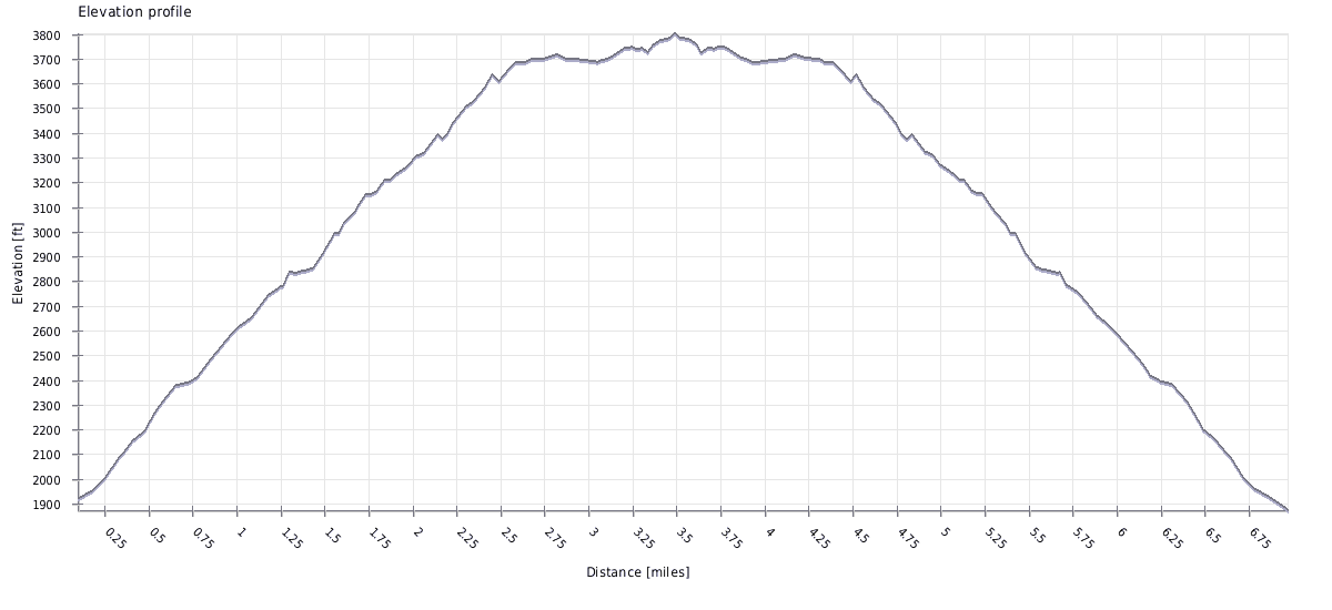
- Total Distance
- 7.2 miles
- Time
- 3-4 hours
- Total Climbing
- 2050 feet
- Difficulty
- Hard
- Crowds
- Moderate
- Dogs
- Leashed
- Gear
- What I Use
- Weather
- Latest Report
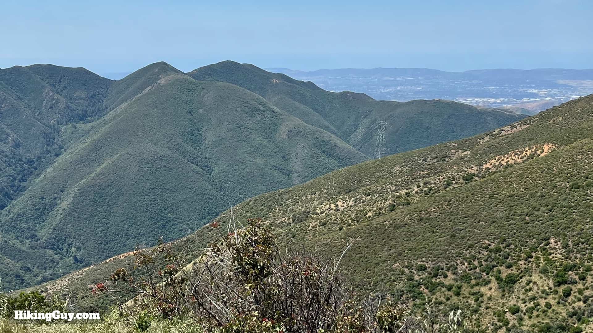
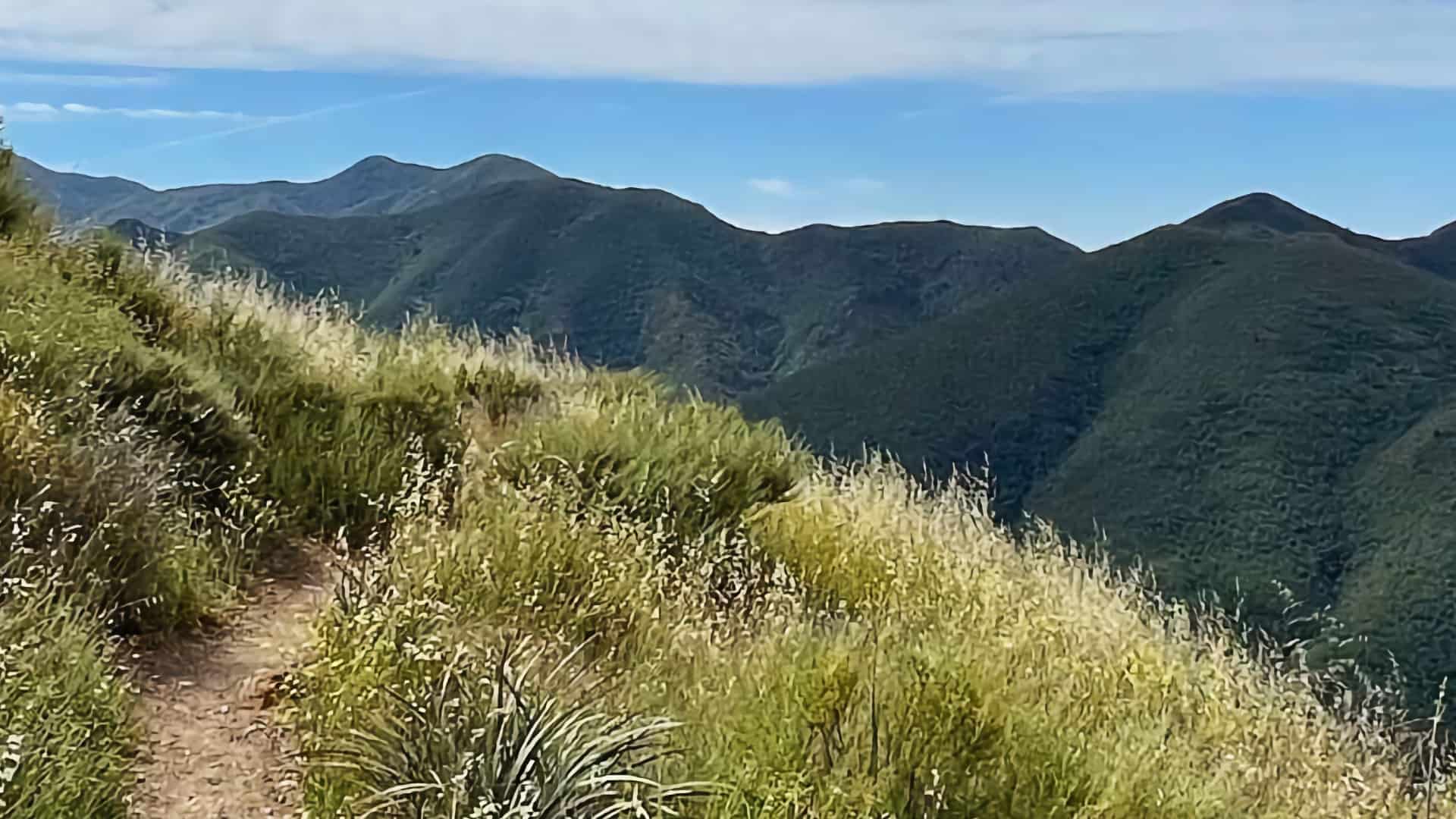
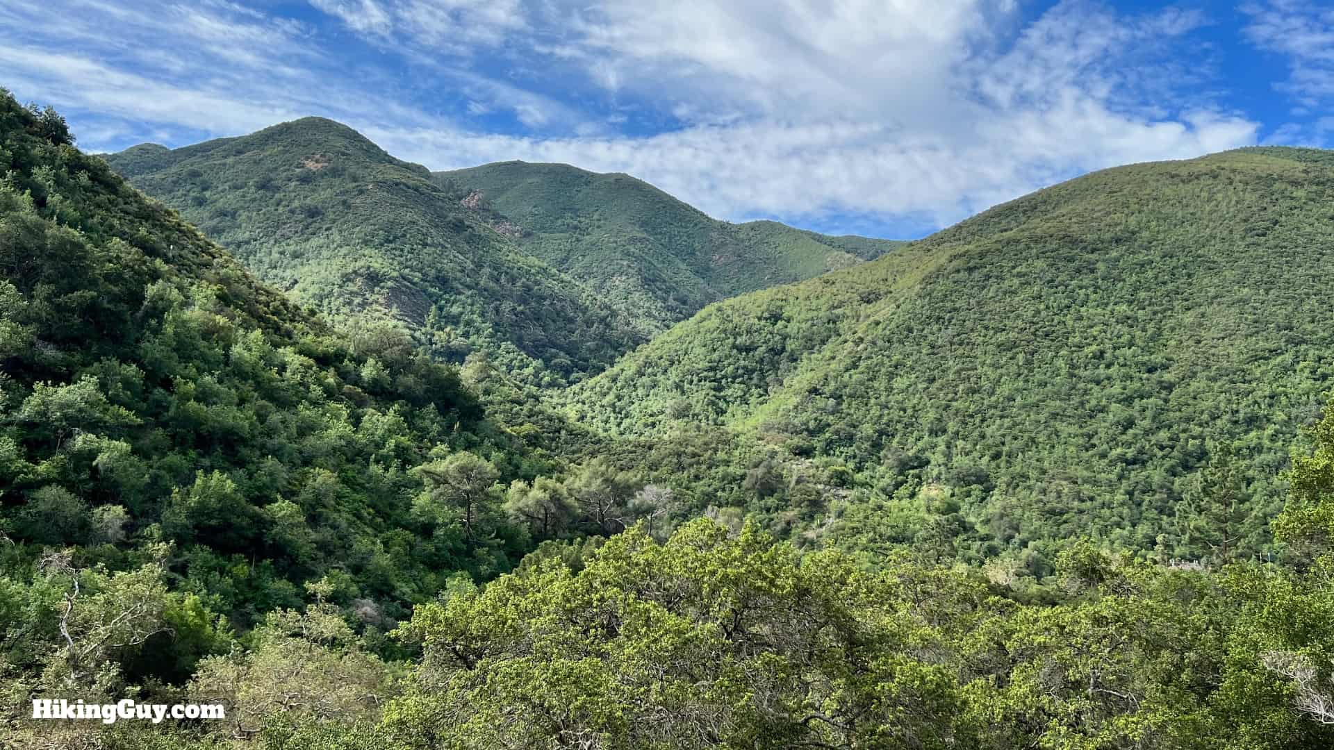
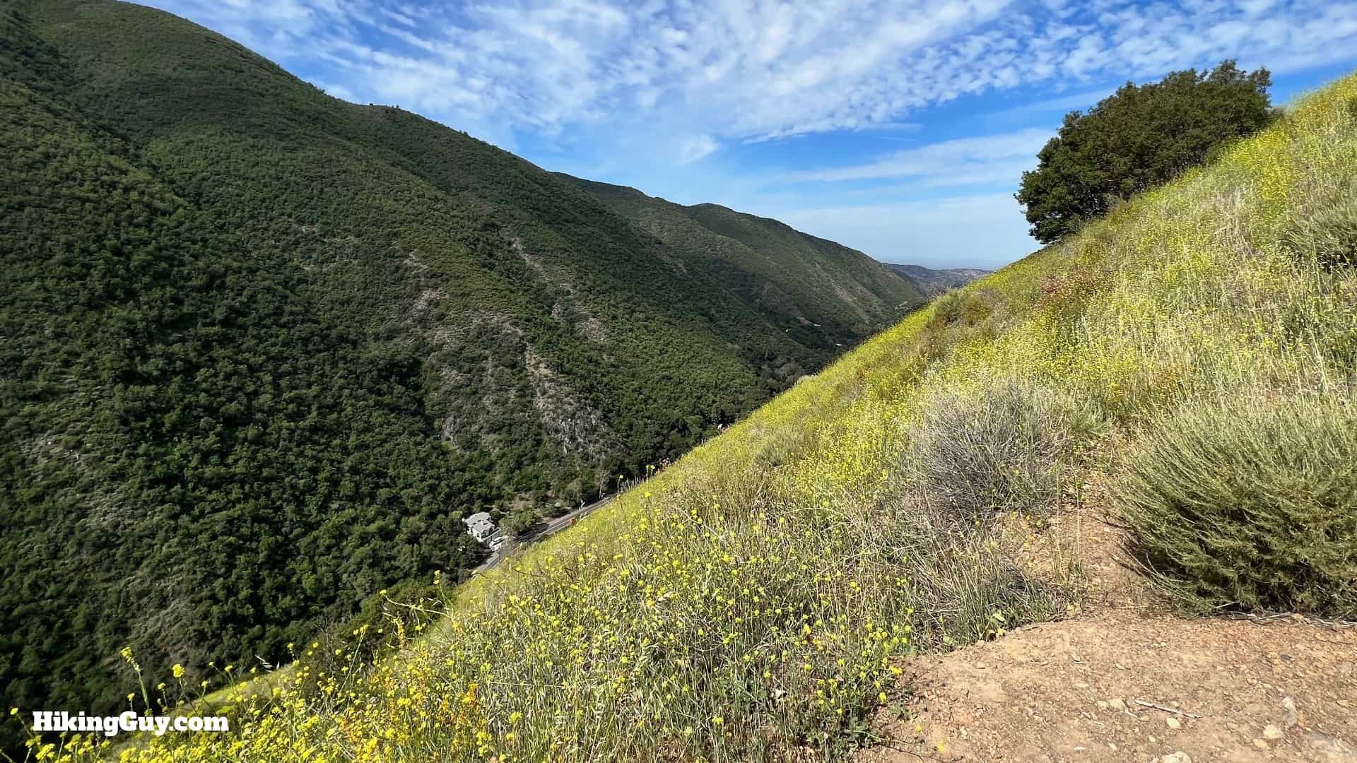
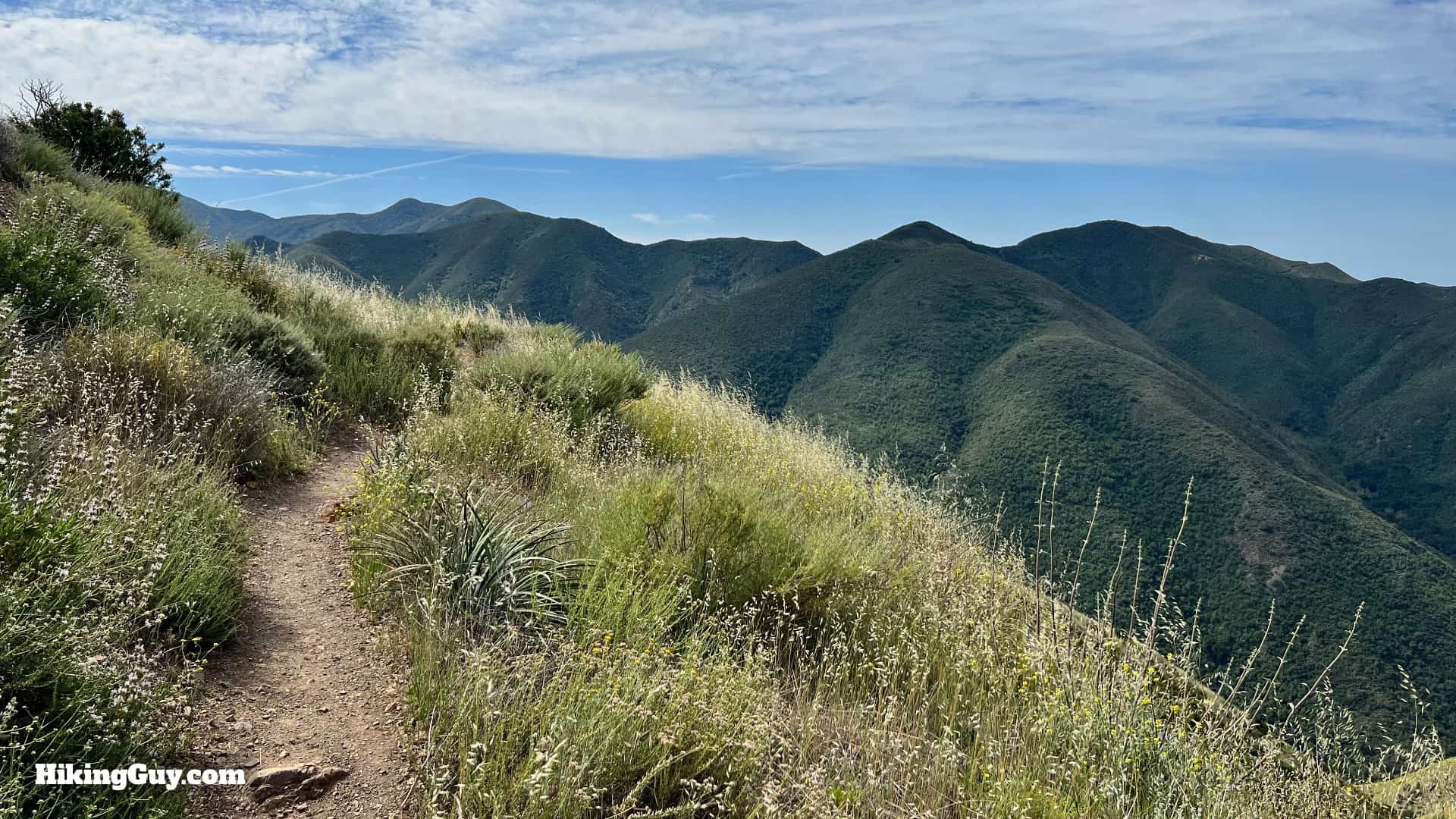
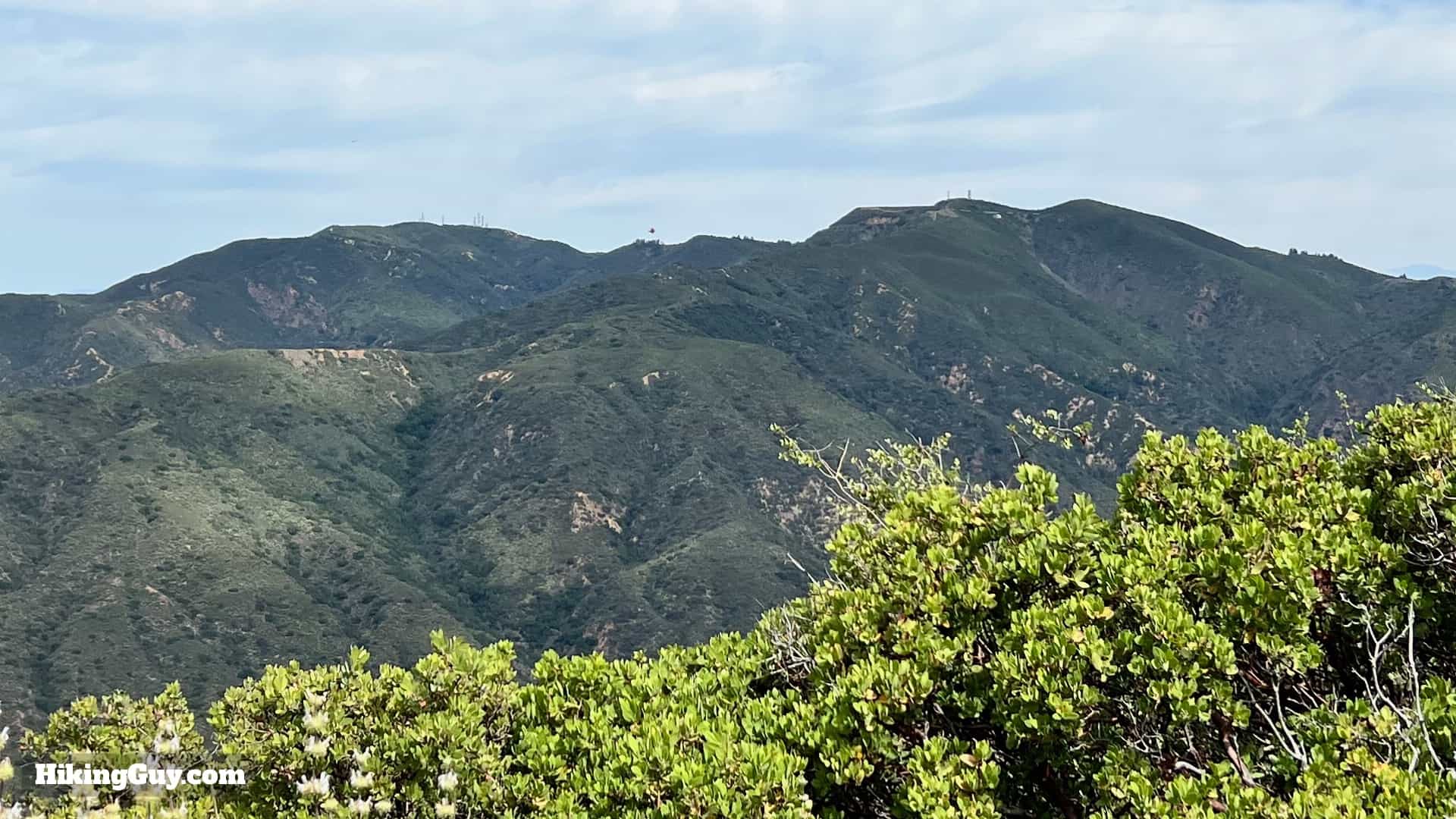
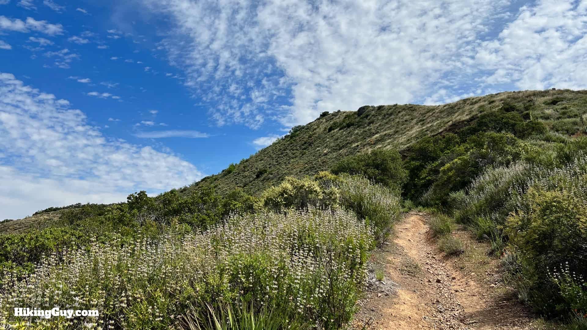
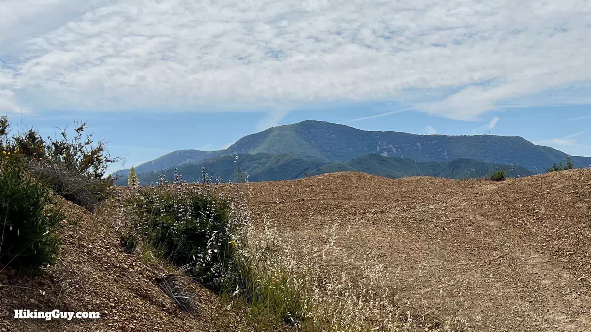
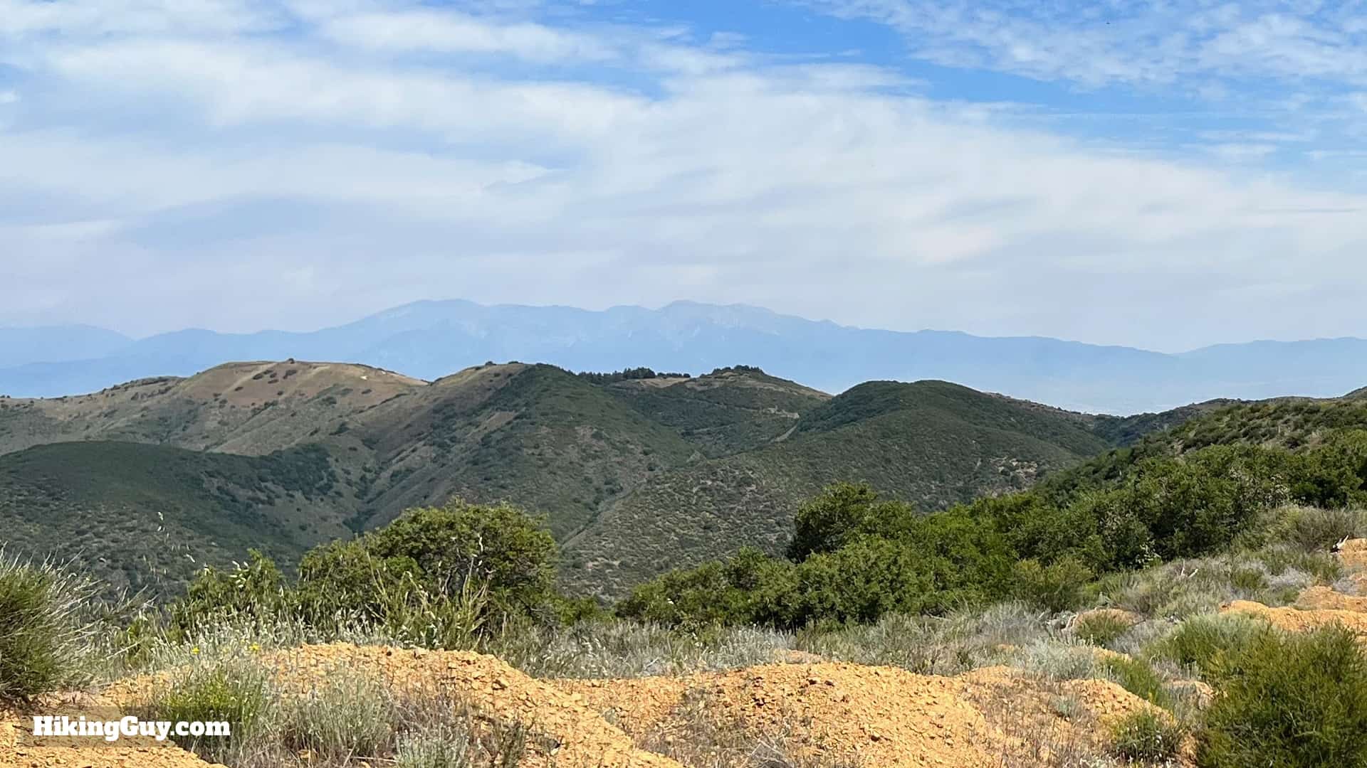
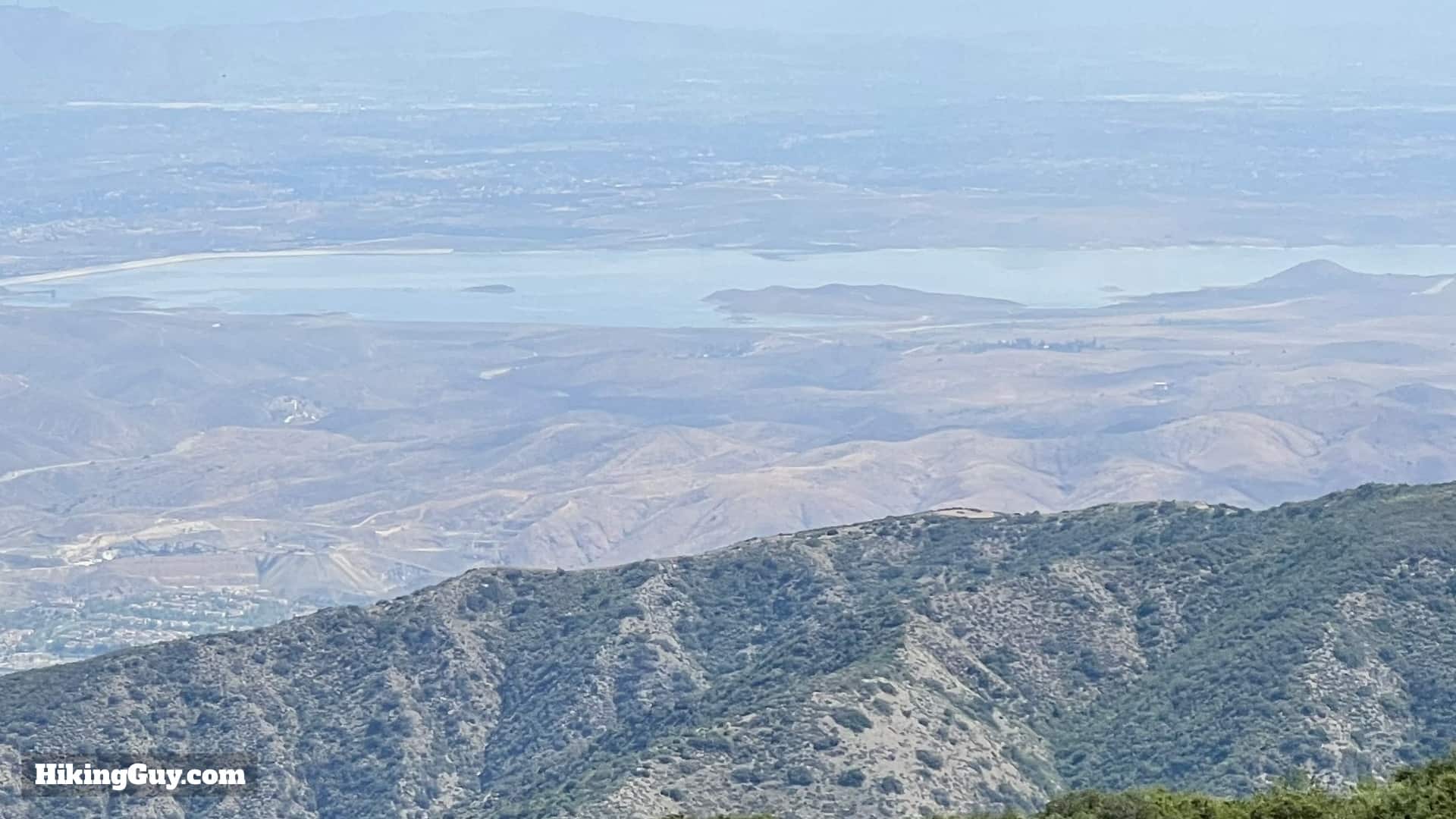
If you're looking for a hidden gem, the Bedford Peak Trail is for you. You'll get an excellent workout climbing about 2000 feet in 3 miles, and at the top, you have gorgeous views of the Santa Anas, Angeles National Forest, Catalina, and on a clear day, the higher peaks of SoCal. Overall it's an underrated gem.
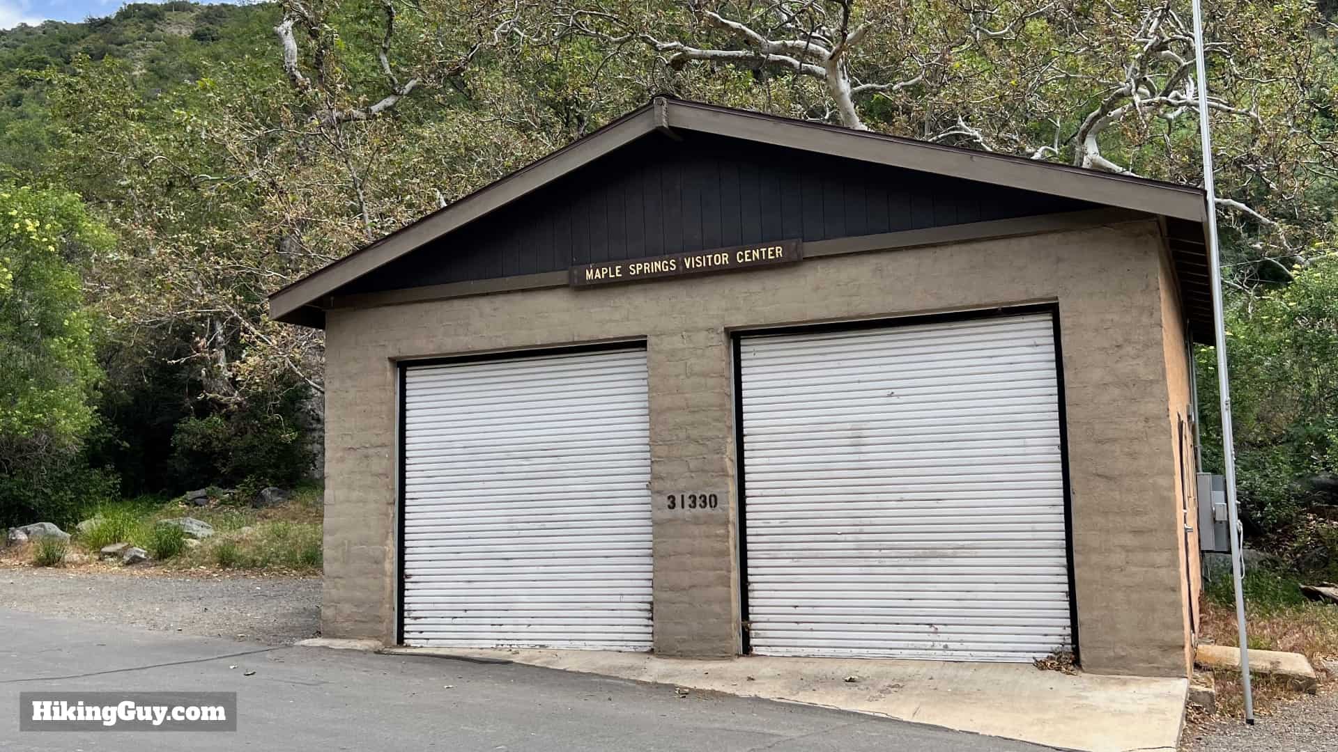
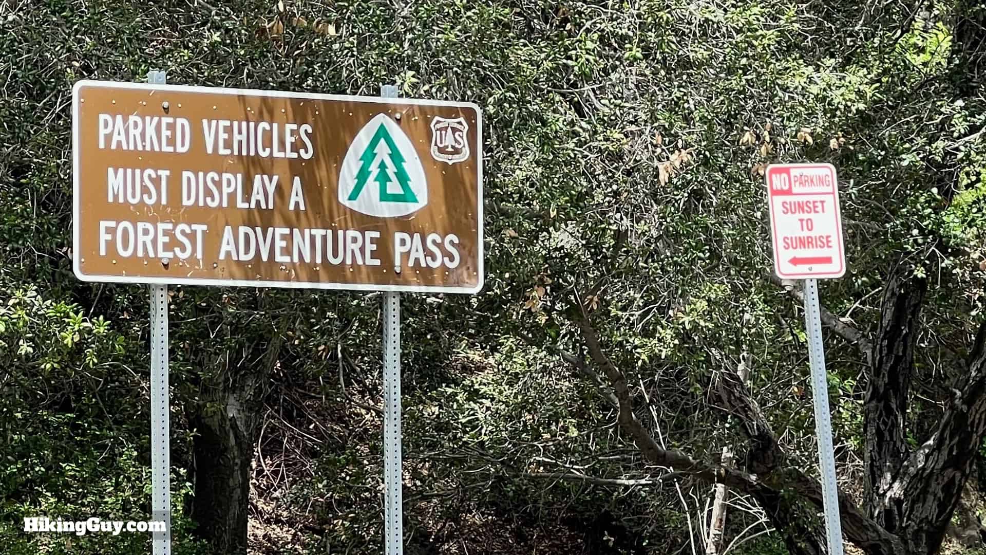
Parking for the Bedford Peak Trail
You'll want to use the (often closed) Maple Springs Visitor Center as your car's GPS destination. Use this address for the trailhead: 31330 Silverado Canyon Rd, Silverado, CA, 92676, USA.
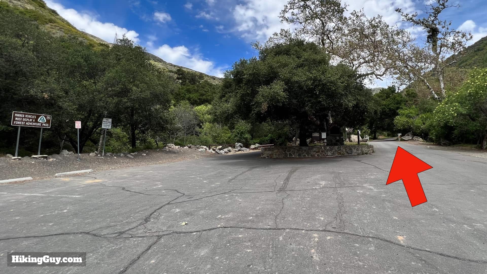
If the gate into Silverado Canyon is closed, park here at the paved lot and walk up.

Gear For the Hike
There's no shade on the trail to Bedford Peak, so bring plenty of water and sunscreen. If you like to climb with trekking poles, they can be helpful. The summit can get breezy, so extra layers will feel nice if you do the hike when it's cool out. Otherwise, it's not a technical hike and can be done with workout gear if you like.
Essentials I’m Using Now
- Garmin inReach Mini 2: Reliable SOS Everywhere on Earth
- Sawyer + CNOC Water Filter: Easy & Reliable Safe Water
- Nitecore NU25 Headlamp: Running late? Get home safe
- Altra Olympus 275: Favorite trail shoes right now, no blisters and very comfy.
- AllTrails Plus (30% off): Offline maps on your phone with the Plus level
- Full November 2025 Gear List →
Bedford Peak Hike Trail Maps
Note that the main Bedford Peak trail has two names (for the same trail). Some maps list it as the Maple Springs Trail; others list it as the Silverado Trail.
Elevation Profile
3D Map

Hike Brief

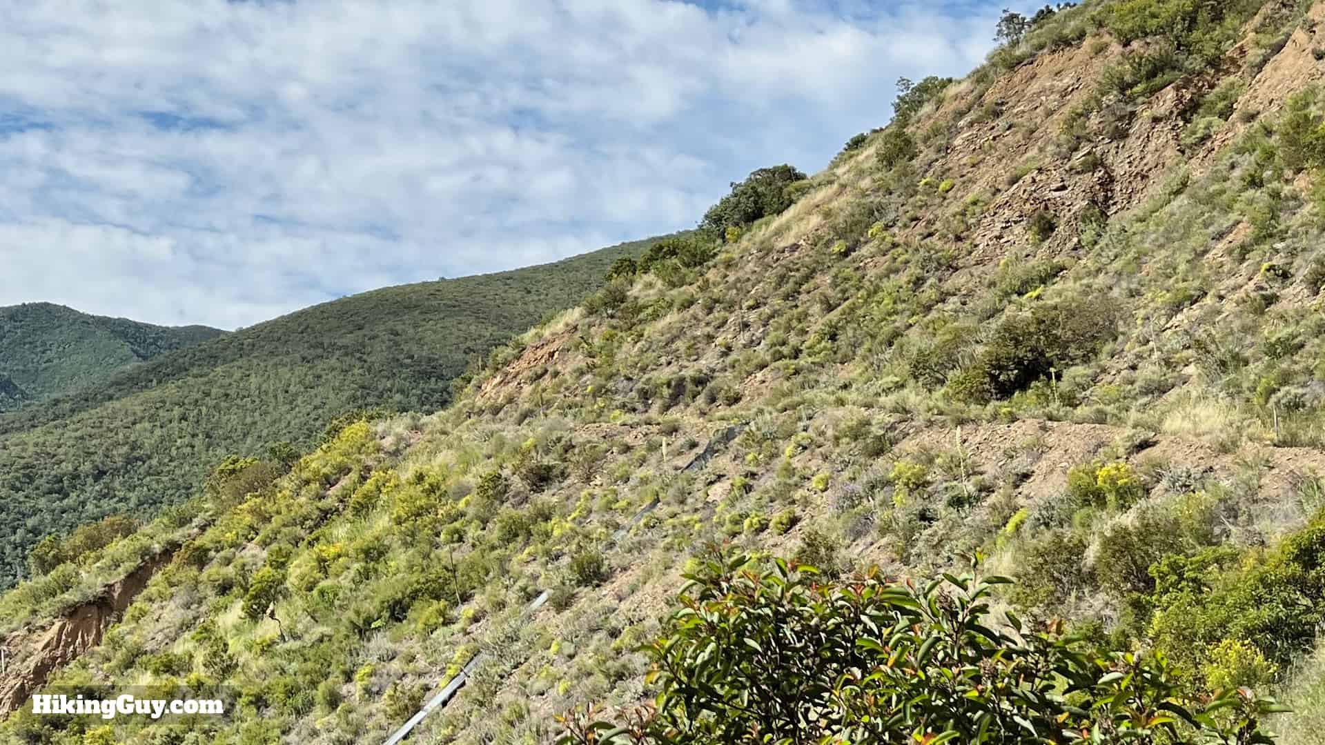
- Keep your eyes open for exposed rock layers along the trail. This area is home to the Bedford Canyon Formation. The formation is unique because it's one of the only exposed rock layers that show what settled on the seafloor here 180 million years ago. When this rock was on the seafloor, dinosaurs roamed the earth. You may be able to spot fossils of ancient clams and snails in the shale layers.
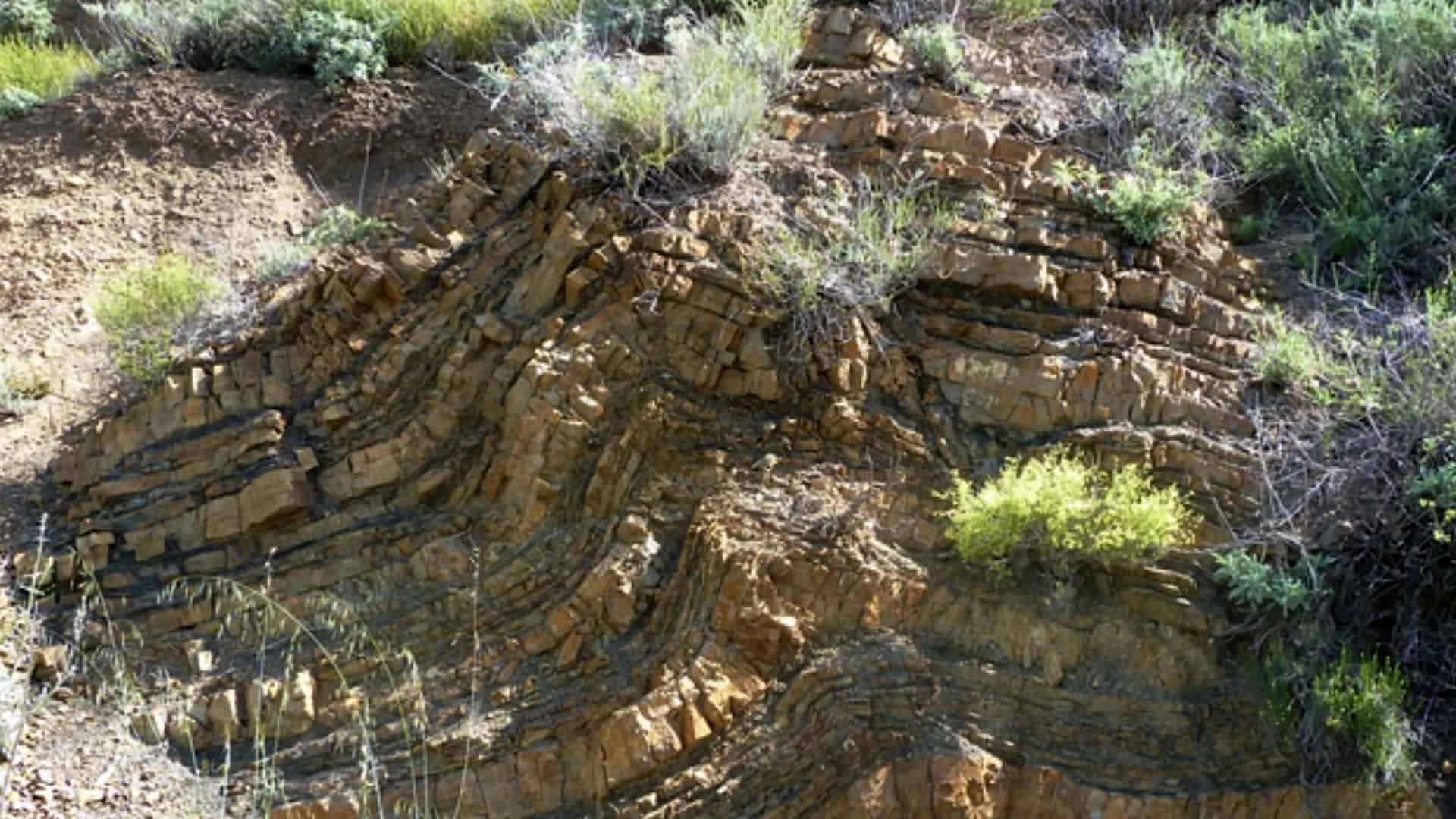
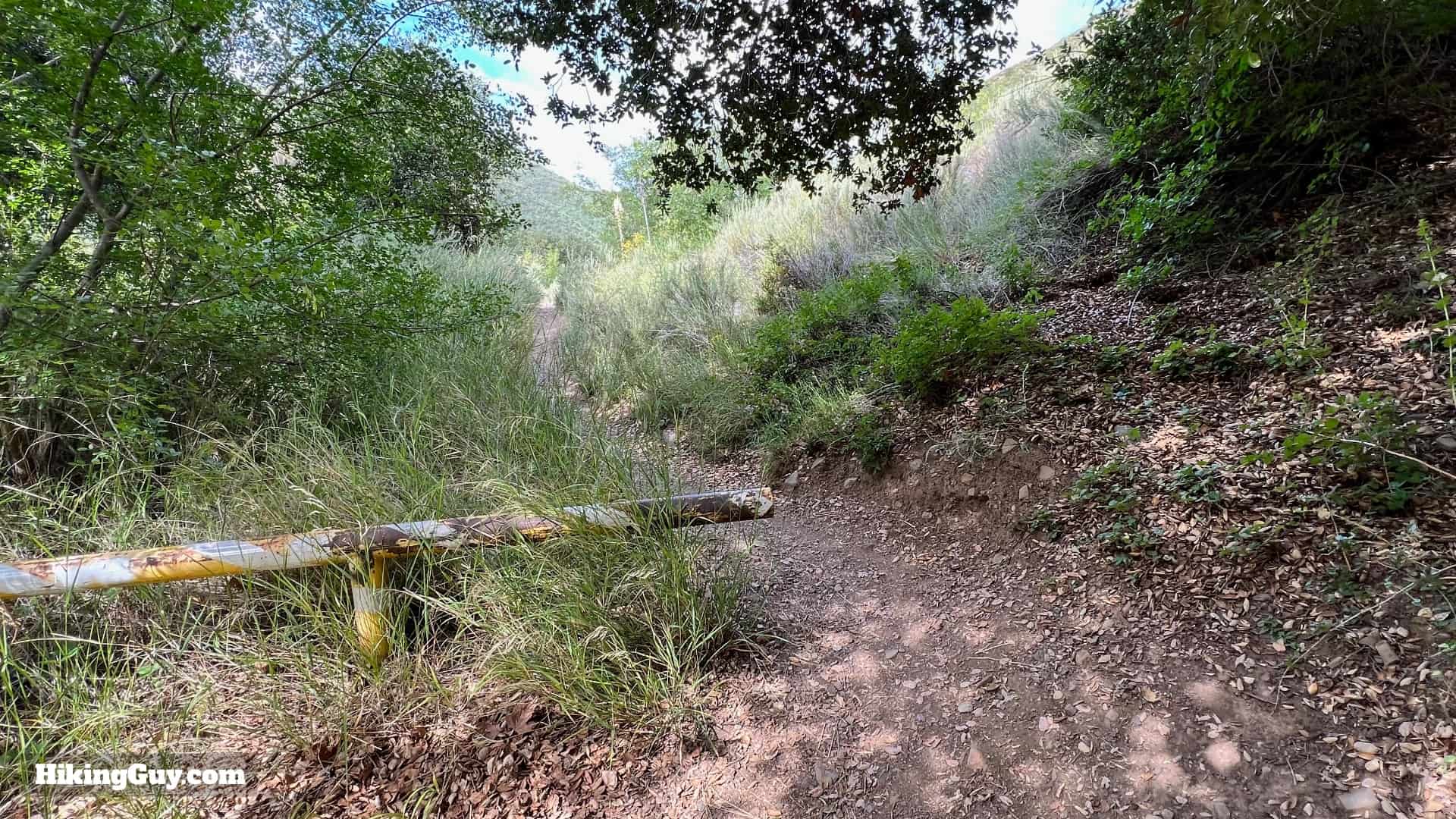
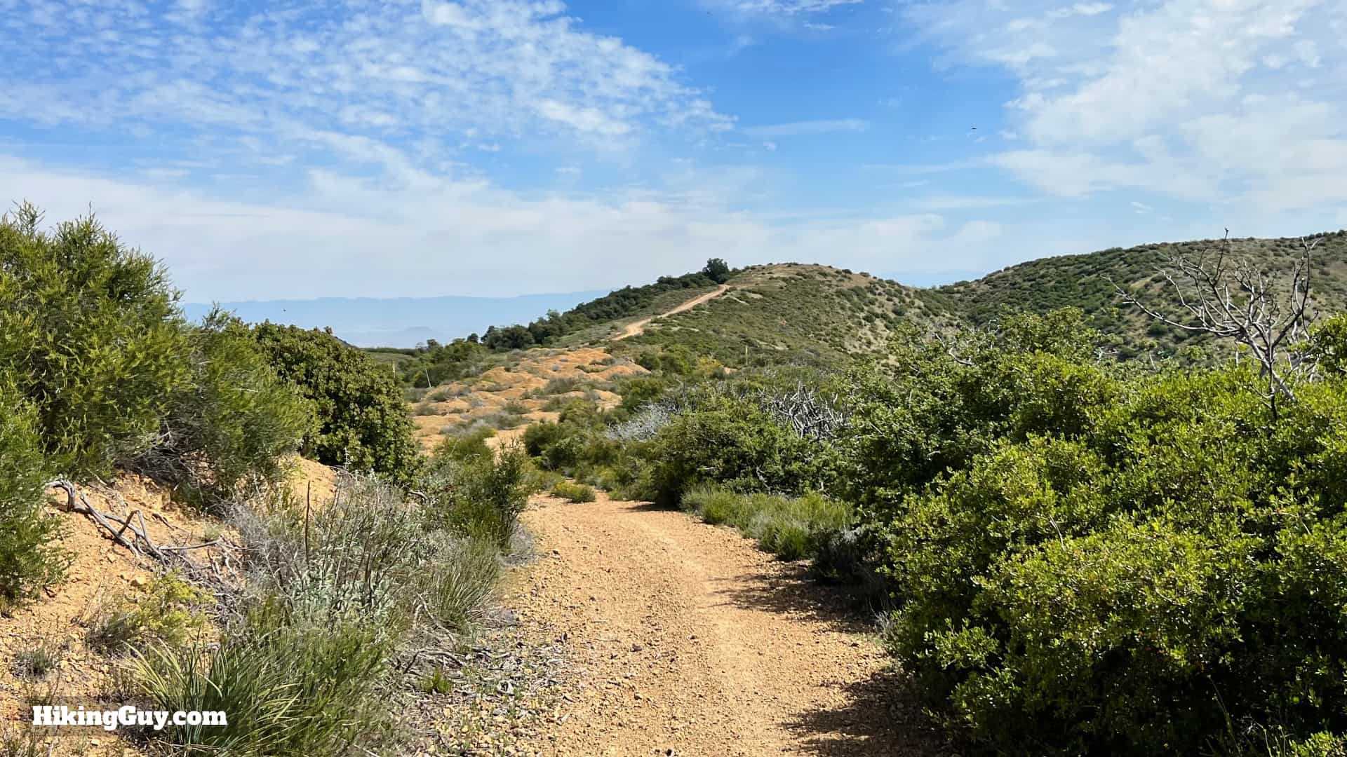
Exposed layers of the Bedford Formation along the trail. - The trail you hike up is sometimes called the Silverado Motorway, built years ago for cars to perform fire patrols, and now eroded into a singletrack trail.
- The quaint town of Silverado, where the hike starts, was a booming mining town from 1878-1881. That's why you'll see a post office and other facilities in this remote area.
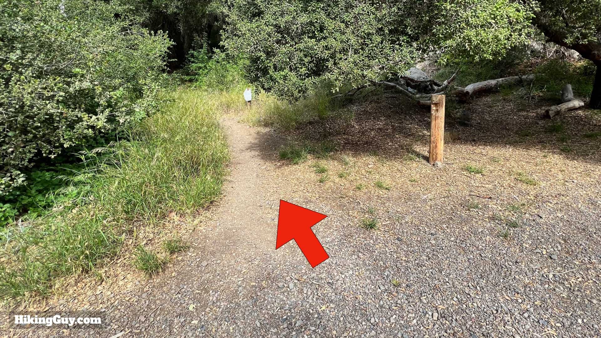
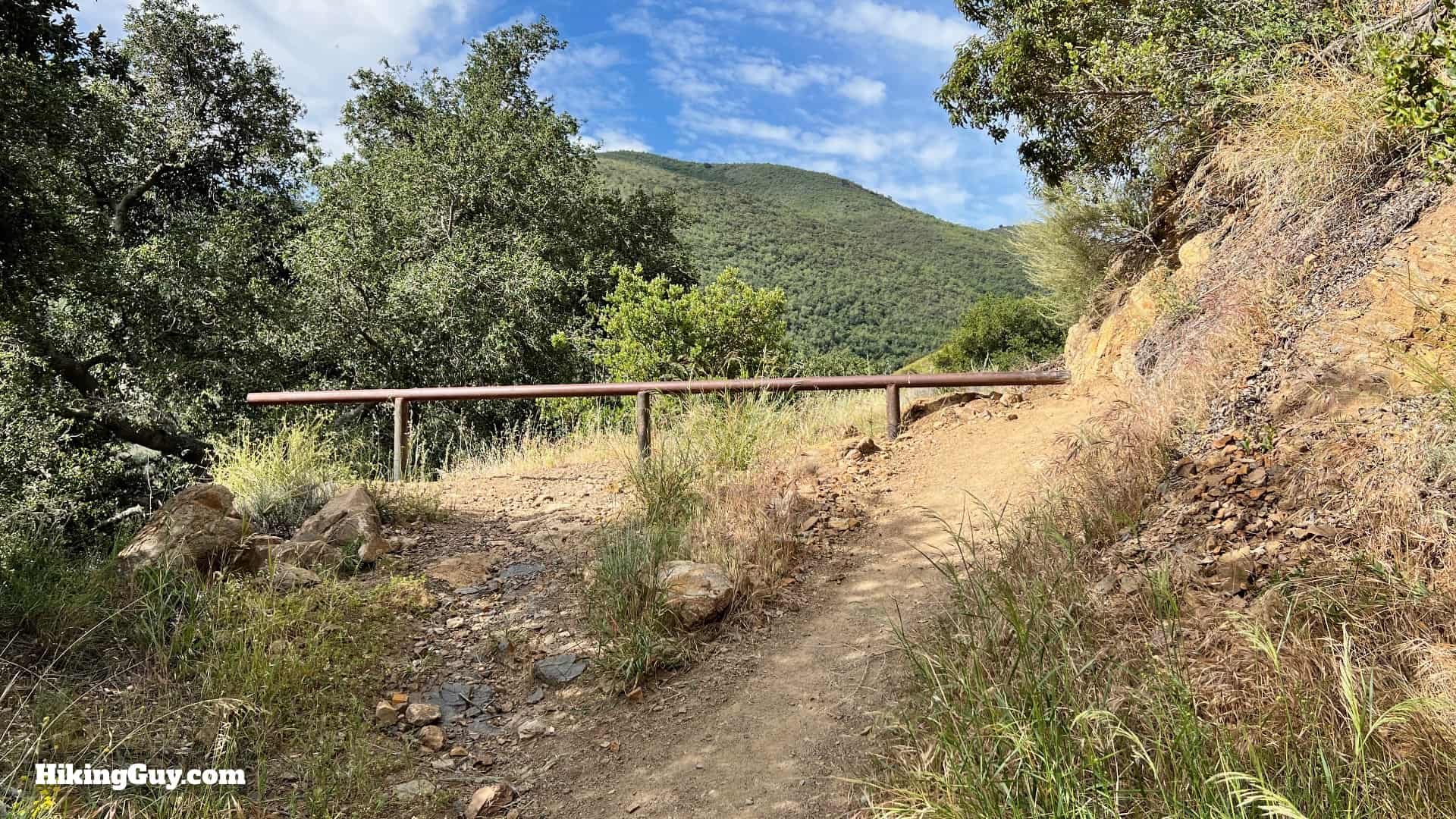
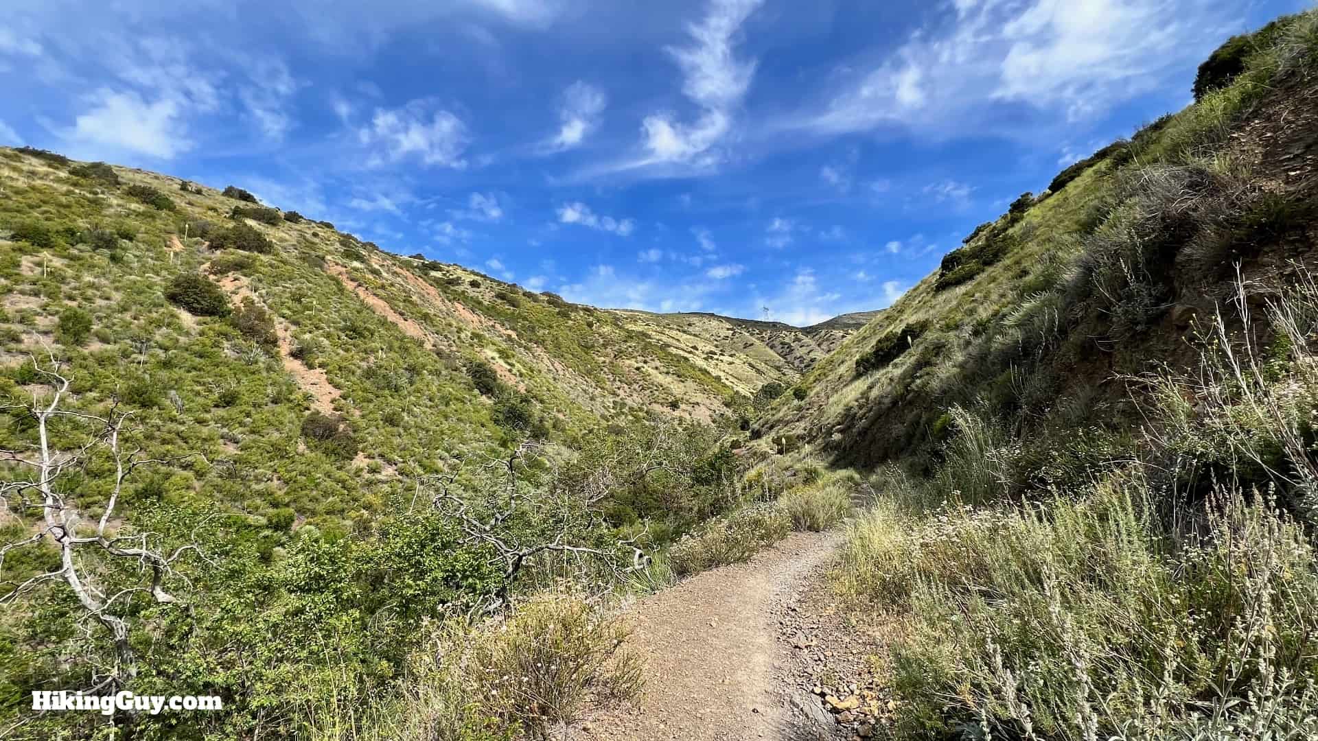
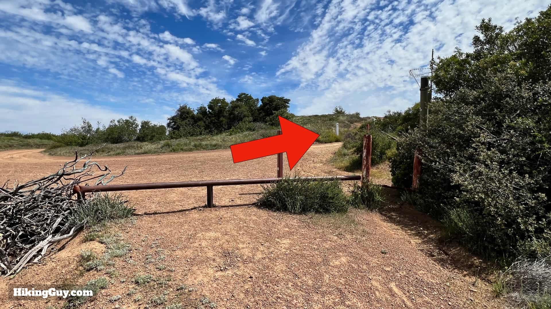
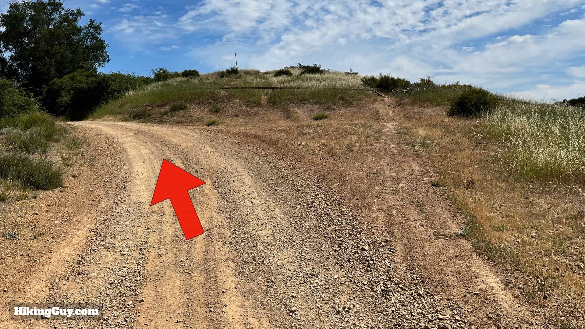
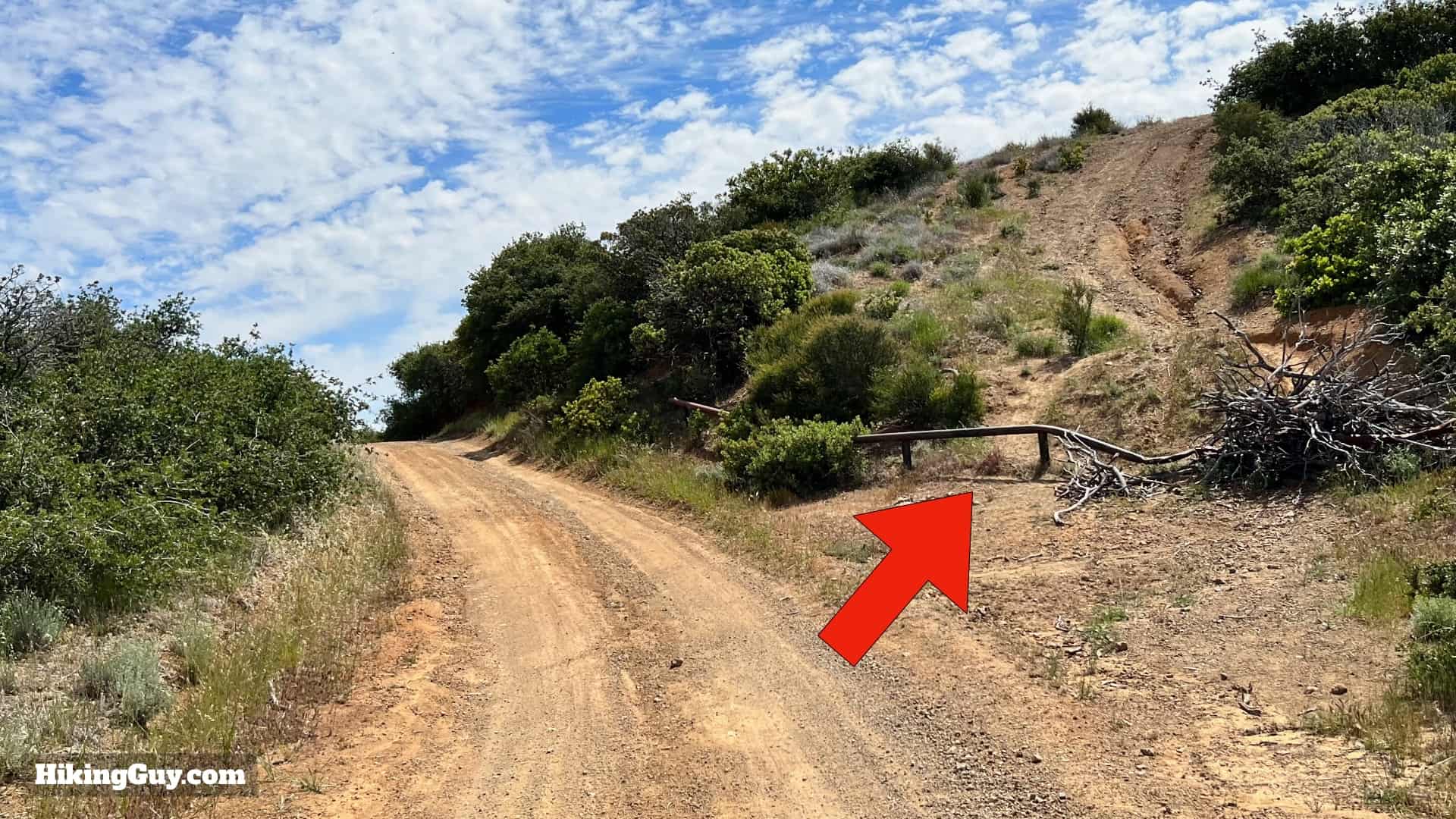
Bedford Peak Trail Directions
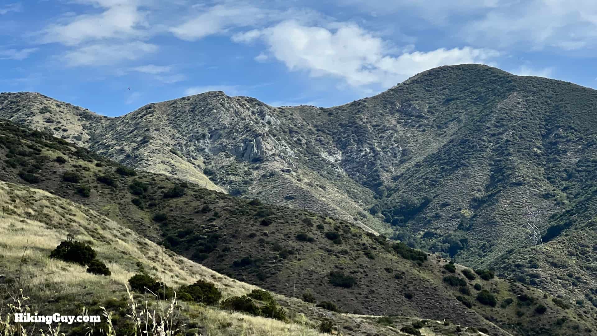


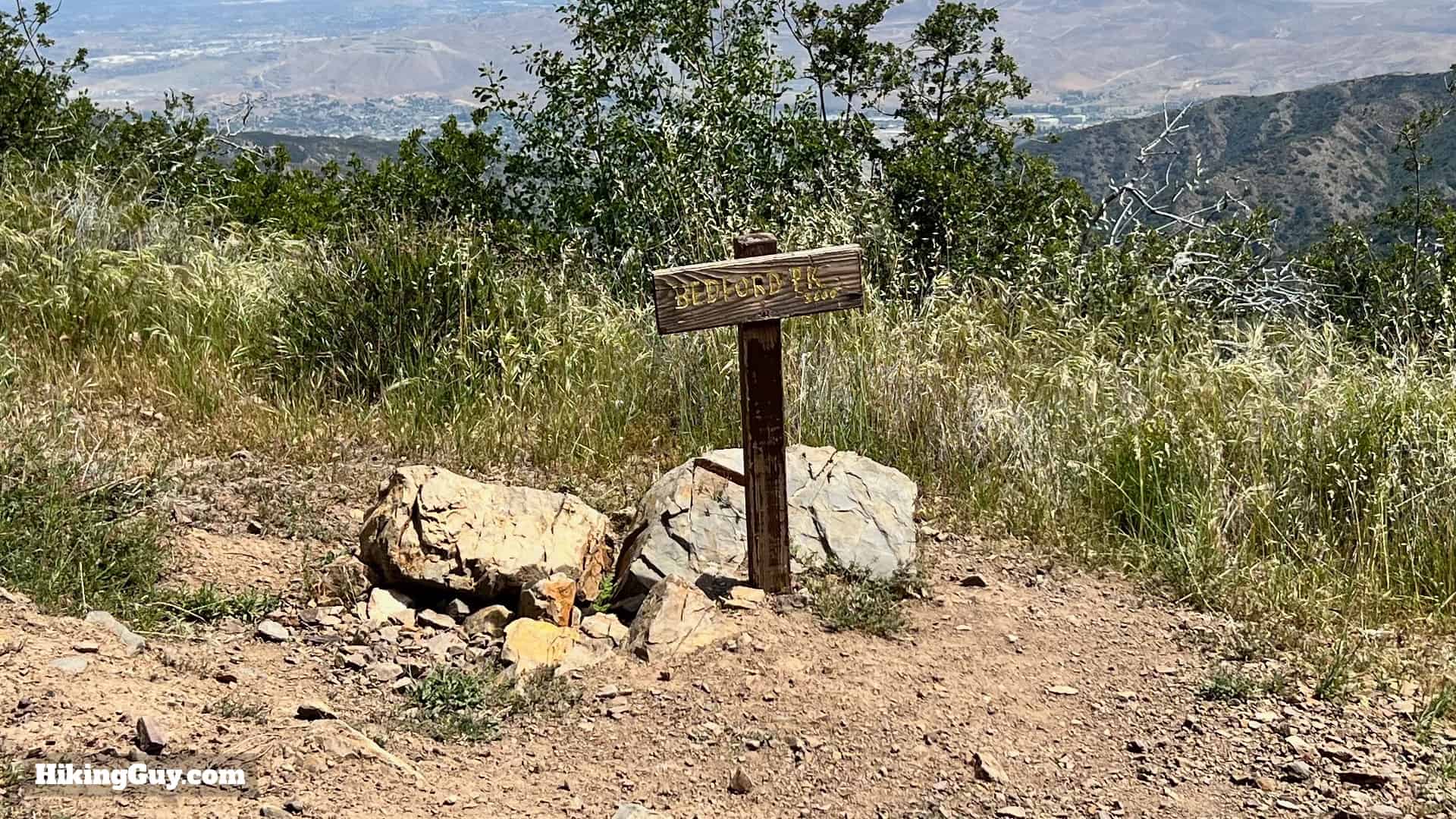
Bedford Peak marks the boundary between Riverside and Orange Counties.