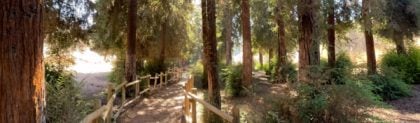

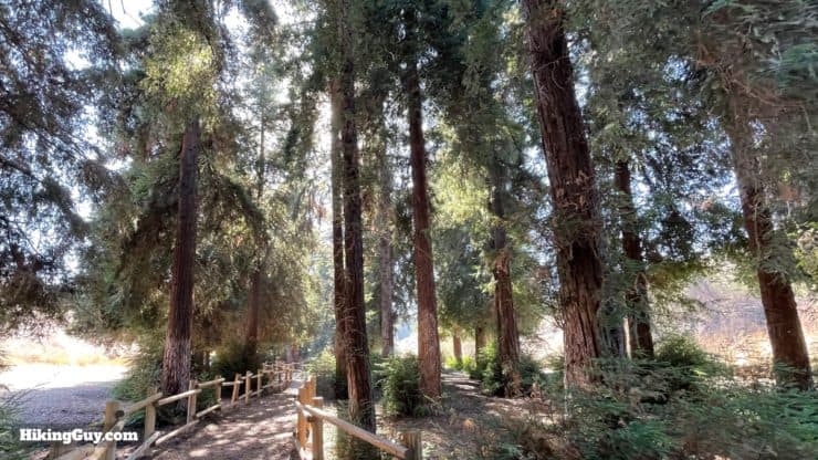
It's an easy hike to visit Southern California's largest Redwood Grove, located in Carbon Canyon Regional Park. The Redwood grove, while not as majestic as those in Northern California, is still impressive. You'll be able to wander in the shade of over 200 Redwoods, which would not survive in the hot, dry Southern California climate without the loving attention of OC Parks. It's a great hike that's easy for families and beginners.
- Video and Turn-by-Turn Directions to the Carbon Canyon Redwood Grove
- How to Get to the Carbon Canyon Regional Park
- Insider Tips and Recommendations for the Hike
This is a popular hike. Come as early as possible for the best experience.
Where is the Orange County Redwood Grove?
The Redwood Grove is tucked away in a corner of Carbon Canyon Regional Park. Use this address for the park:
Carbon Canyon Regional Park, 4442 Carbon Canyon Rd, Brea, CA 92823
There is a fee to enter the park.
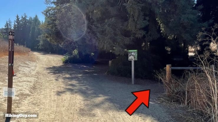
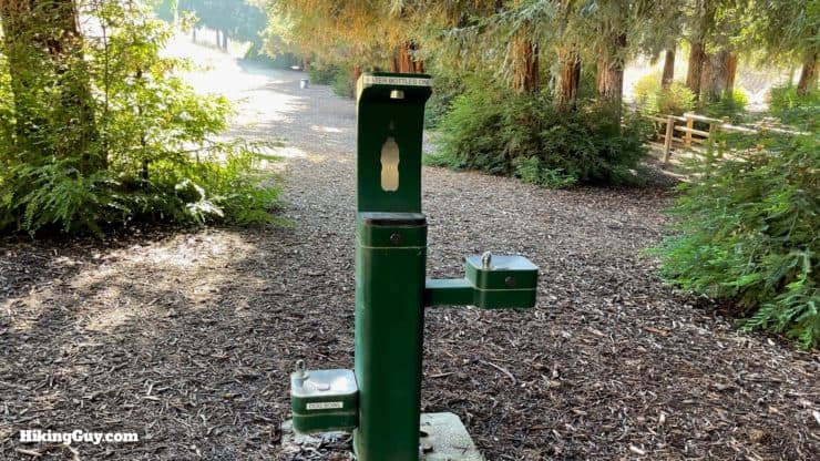
There are bathrooms and water fountains throughout the park. There's also a water fountain at the Redwood grove.
Gear For the Hike
This hike is short and flat. Wear comfortable shoes and casual fitness clothes. It can get very hot and dusty on the way to the grove. If you get thirsty, there is a water fountain at the start of the grove.
Gear That I Love Right Now
Nothing is sponsored or promoted, just the actual gear that I use.


Check out the complete list here. ( Updated October 2024)
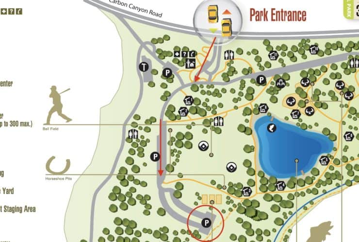
Redwood Grove Trail Maps
How Will You Navigate?
 Using the Apple Watch for Hiking
 Garmin Fenix 7 & Epix Review For Hikers
 How To Read a Topographic Map
 Garmin GPSMAP 67i Review
The Redwood Grove Story
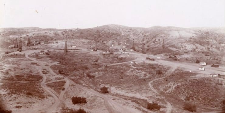
- When the oil ran dry in Olinda, the area was cleaned up and Carbon Canyon Regional Park was created in 1975.
- When the park first opened, 100 Redwood seeds were planted at the grove. The seeds were left over from a bank promotion giving them out to customers opening accounts.
- The trees, usually found in the wet and nutrient-rich soils of Northern California, won't normally grow this far south. The grove area was selected because it's low and attracts the most moisture and fog. The grove has a man-made irrigation system that waters the trees five days a week.
- When the trees were originally planted, it was thought that they would grow to their normal height of about 350 feet (higher than the Statue of Liberty). However, the challenging Southern California climate has kept the trees under 100 feet. They're still impressive and majestic.
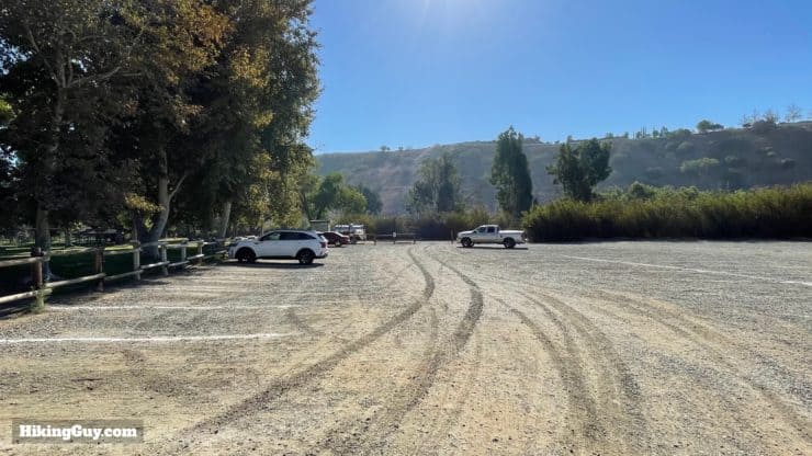
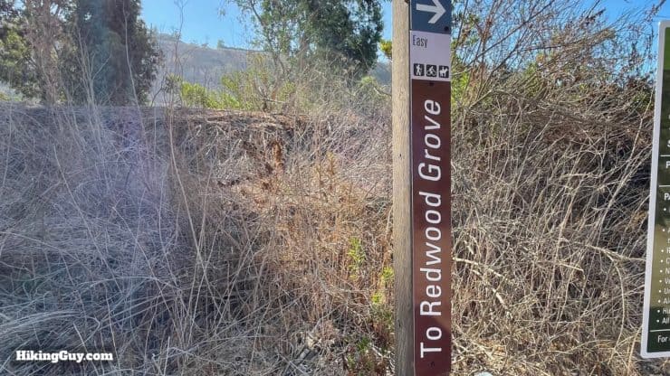
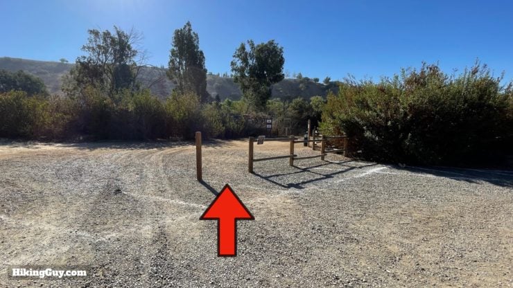
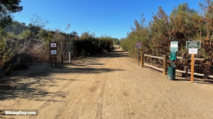
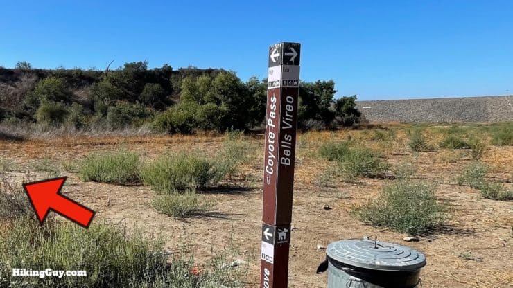
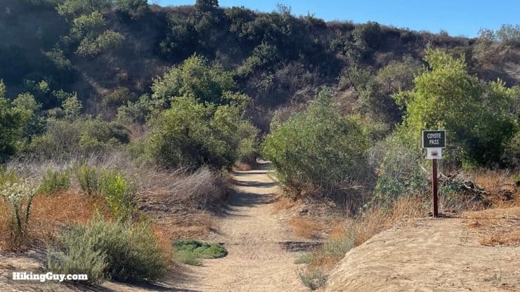
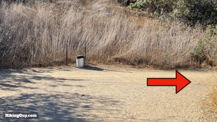
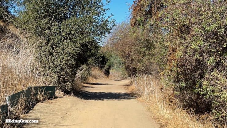
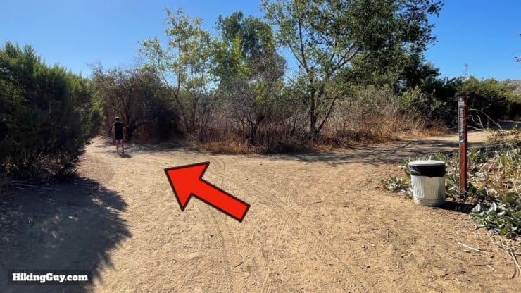
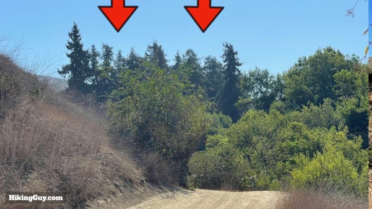
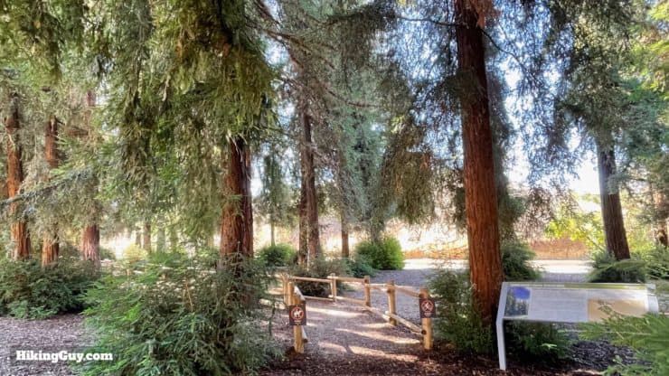
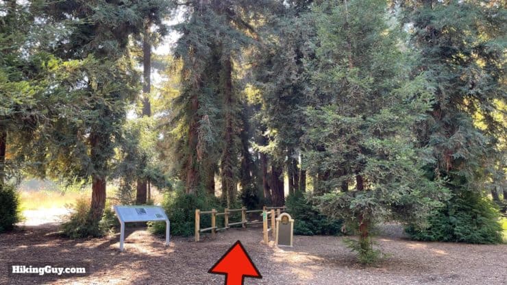
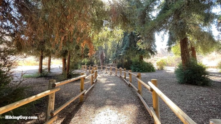
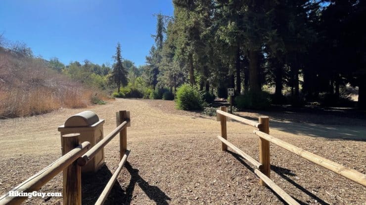
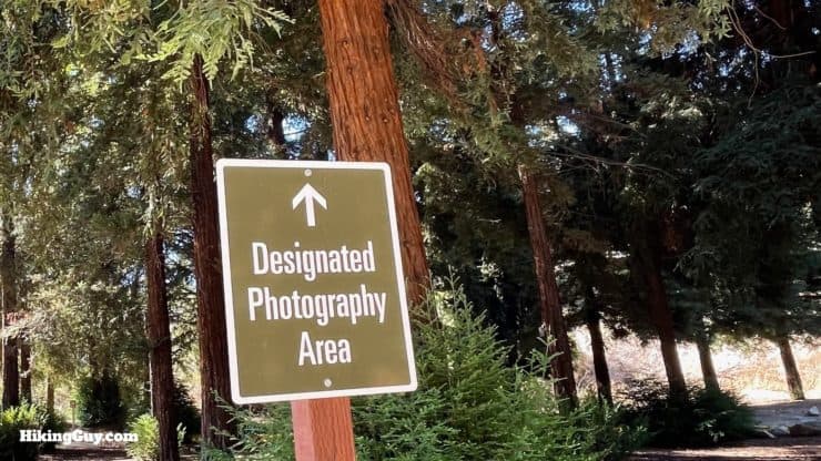
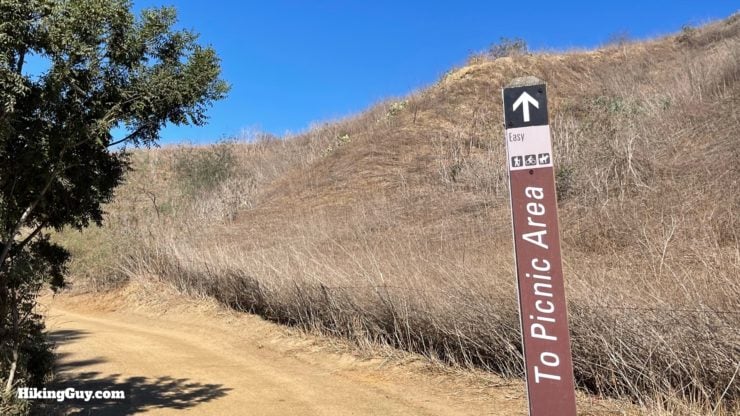
Orange County Redwood Grove Hike Directions
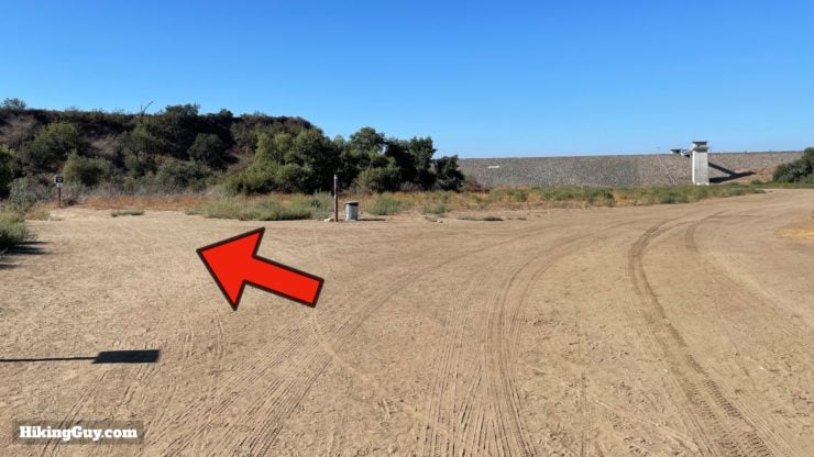
In the distance is Carbon Canyon Dam, opened in 1961, which handles overflow and flooding from the Santa Ana River drainage system. The dam is owned by the U.S. Army Corps of Engineers, which also leases the Redwood Grove area to OC Parks.
The Redwood is the California state tree.
Need More Info?
- Have a question about the guide? Join my Patreon and ask me a question.
- When planning, always check the park website and social media to make sure the trails are open. Similarly, check the weather and road conditions.
- Do you have an update to this guide? View the Youtube comments for this video. Leave a comment and I will do my best to update the guide.
Related Guides
 Whiting Ranch Hiking: Red Rock Canyon
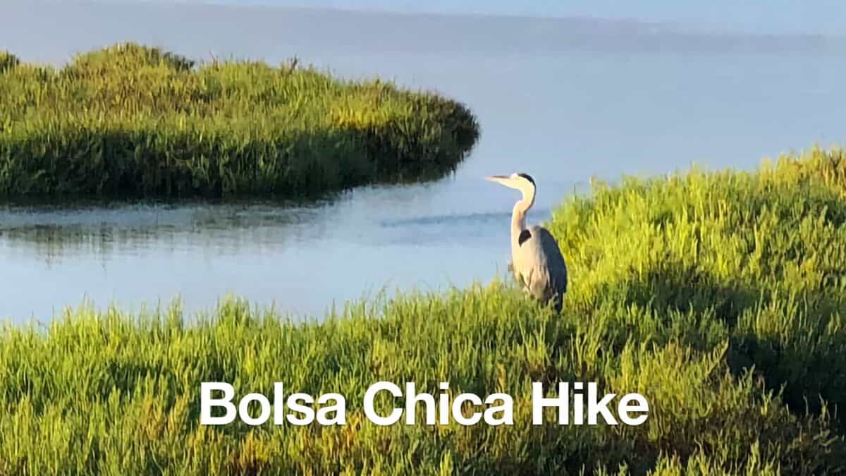 Bolsa Chica Ecological Reserve Hike
 Hikes In and Around Orange County
Popular Guides
 Best Hiking Gear 2024
 Hiking Boots or Shoes: Do I Really Need Hiking Boots?
 When to Hit SOS on inReach
This Guide Was Written by Cris Hazzard

Hi, I'm Cris Hazzard, aka Hiking Guy, a professional outdoors guide, hiking expert, and author based in Southern California. I created this website to share all the great hikes I do with everyone else out there. This site is different because it gives detailed directions that even the beginning hiker can follow. I also share what hiking gear works and doesn't so you don't waste money. I don't do sponsored or promoted content; I share only the gear recommendations, hikes, and tips that I would with my family and friends. If you like the website and YouTube channel, please support these free guides (I couldn't do it without folks like you!). You can stay up to date with my new guides by following me on YouTube, Instagram, or by subscribing to my monthly newsletter.