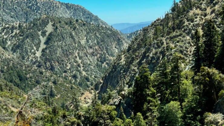

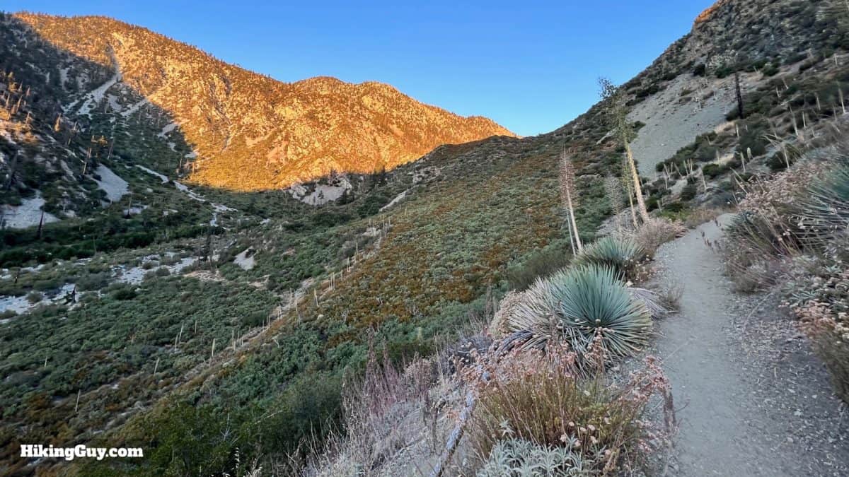
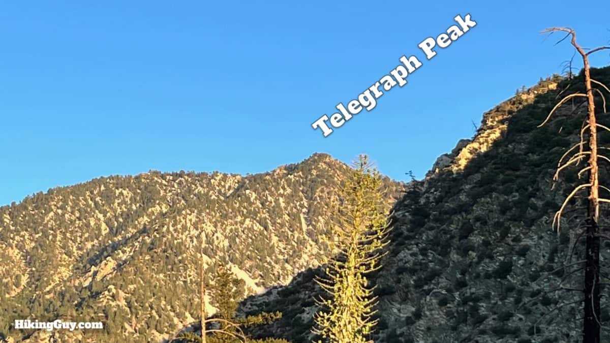
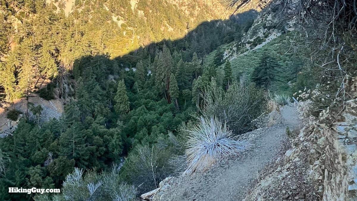
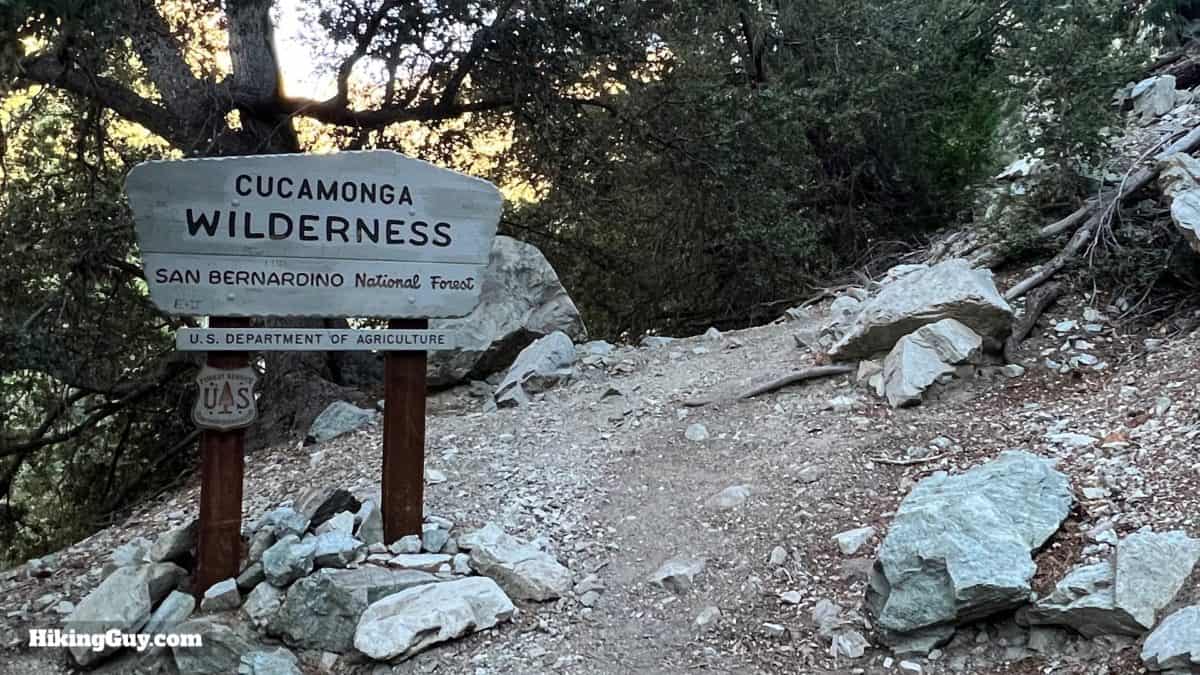
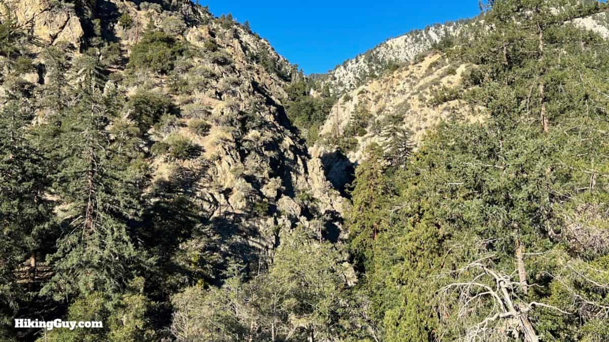
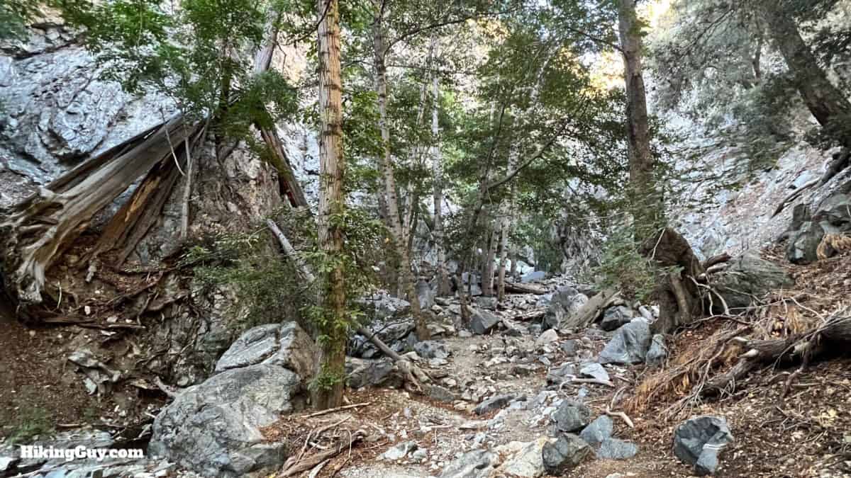
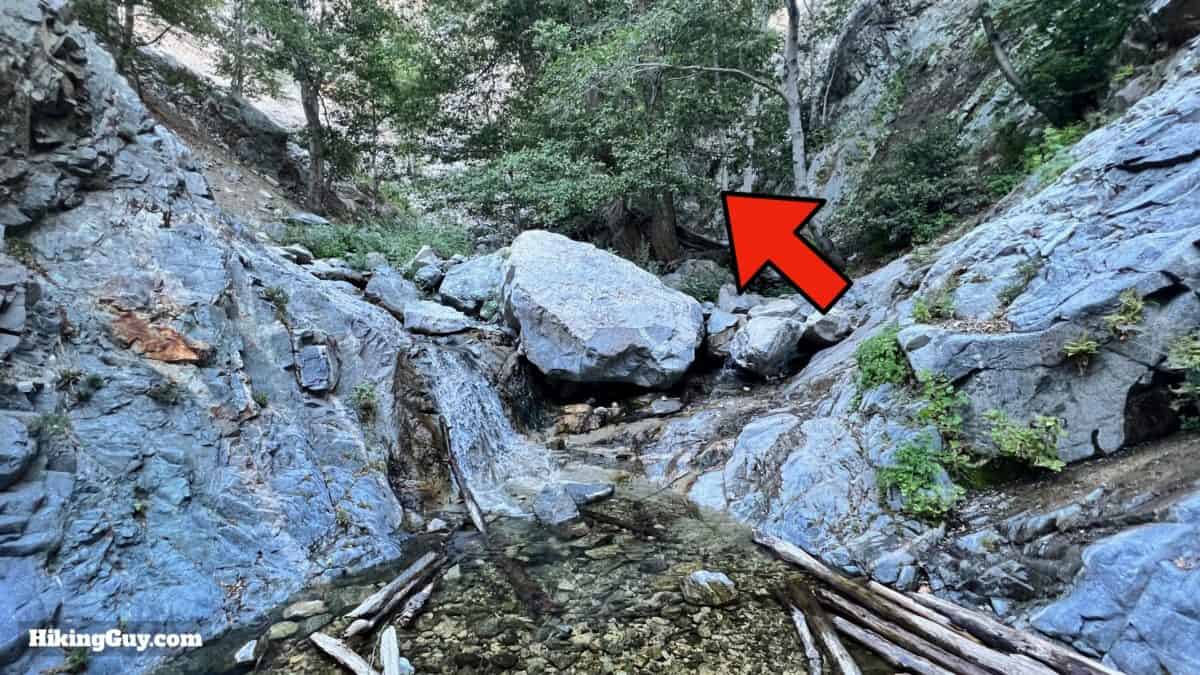
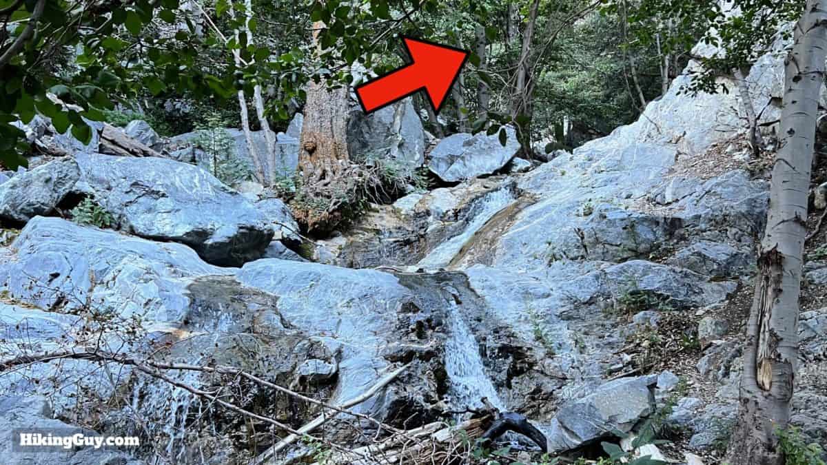
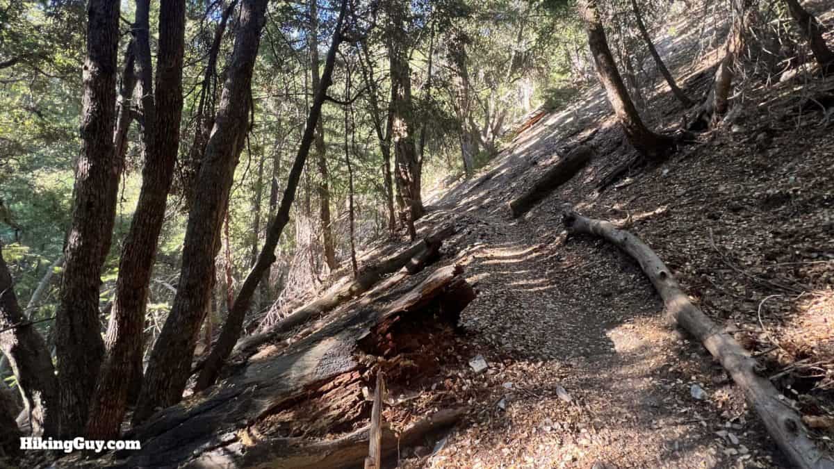
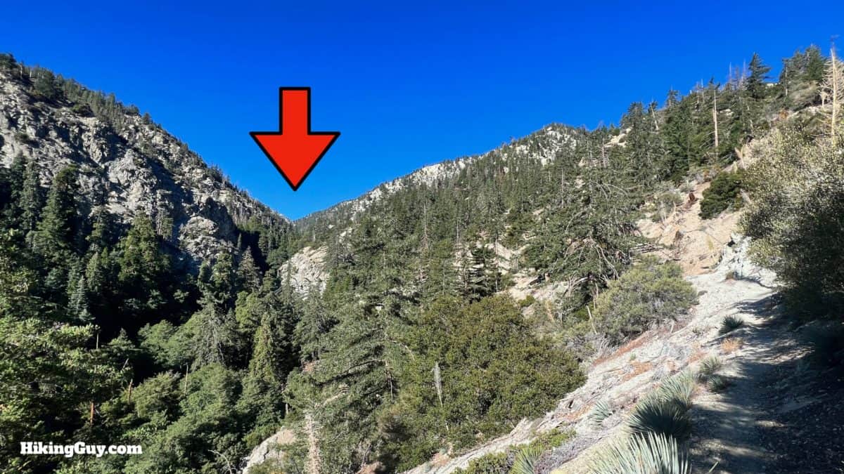
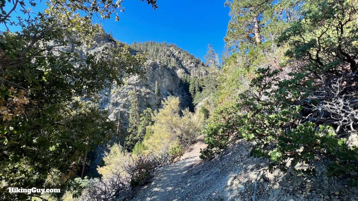
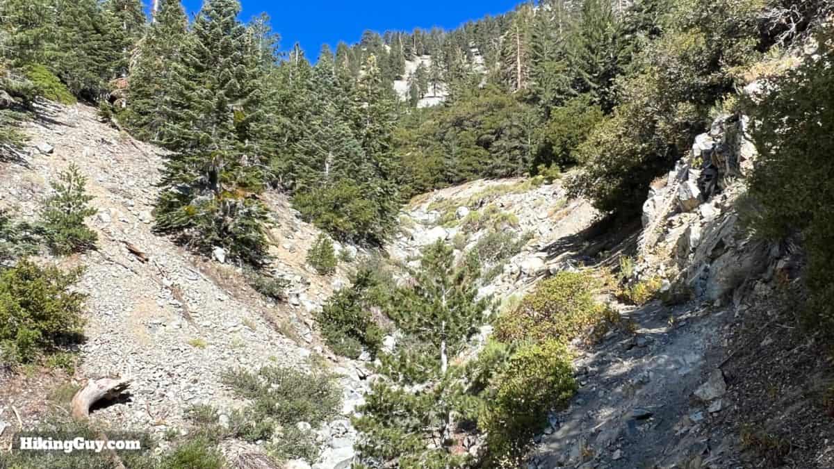
The Middle Fork Trail along Lytle Creek takes you through the rugged heart of the Cucamonga Wilderness. You'll hike up along a dramatic canyon formed by Lytle Creek, through a landscape reminiscent of Yosemite. Along the way, we'll visit a hidden waterfall, my favorite in Southern California, before reaching the end of the trail at Icehouse Saddle.
- Video and Turn-by-Turn Directions for the Middle Fork Trail (Lytle Creek)
- Getting to the Trailhead & Parking
- Insider Tips for the Hike
Where is Middle Fork Trail?
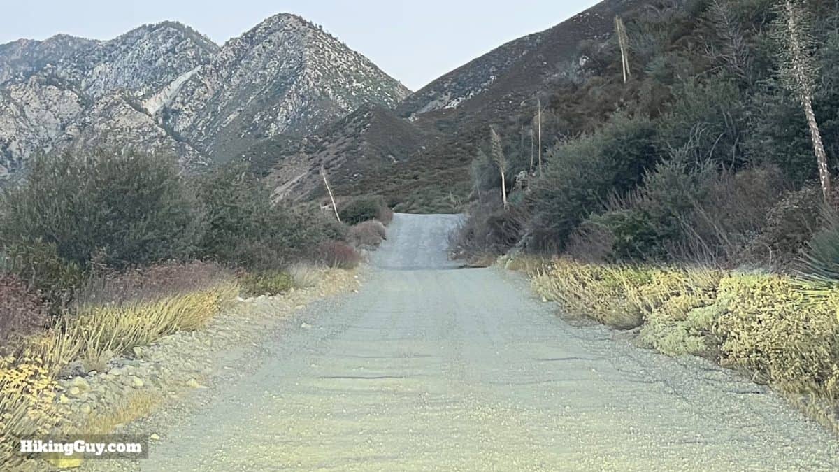
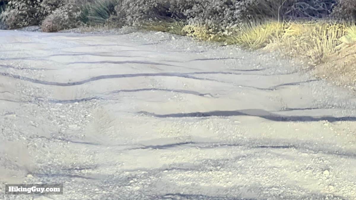
Getting to the trailhead can be a challenge. It's a dirt road whose conditions change every year. The road gets periodic attention and grading, but it seems to be a little different every time I drive it. The challenge is rutting and loose sand. You can usually do this in a low-clearance vehicle if you go slow and pick your way through the ruts. The better option is a higher-clearance vehicle; with a 4x4, you can barrel through it all. I've seen a Honda Accord stuck in rutted sand along the way and an old Prius at the trailhead. It can be done.
Use this trailhead address:
13901 Middle Fork Rd, Lytle Creek, CA 92358
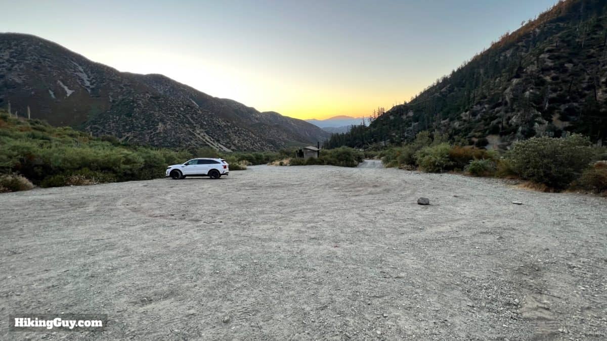
You need a National Parks Pass or Adventure Pass to park here.
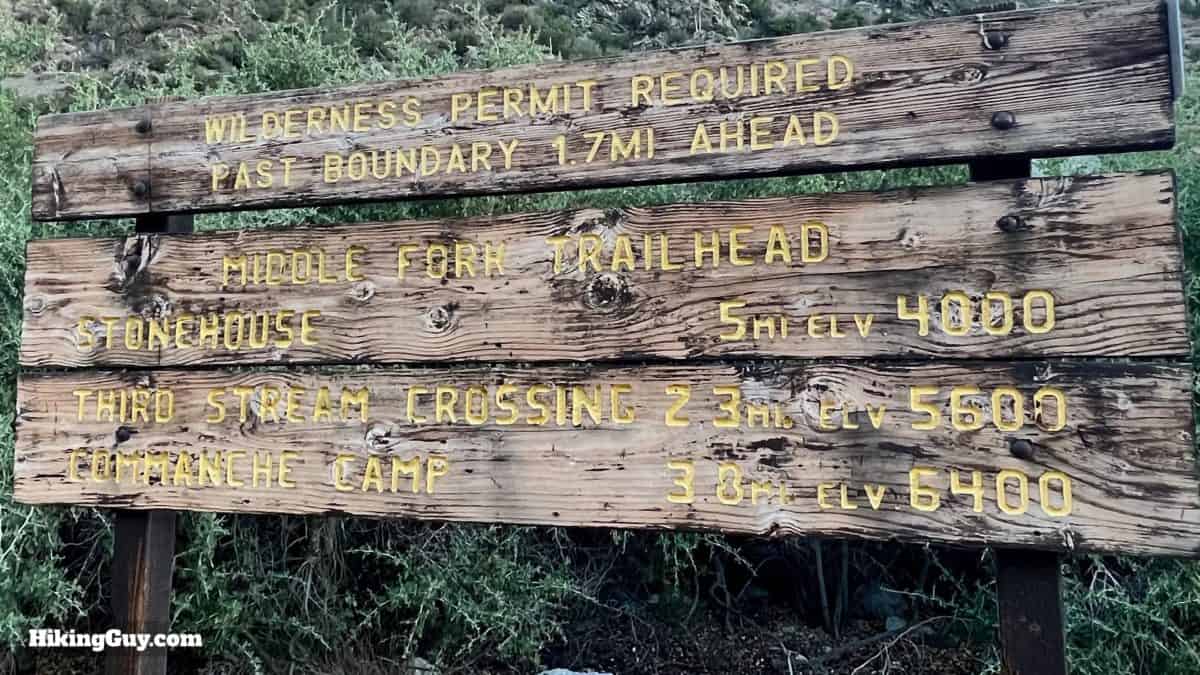
Middle Fork Trail Permit
You need a free permit to hike on this trail. It's easy to get at the new permit site, permits.sgwa.org. Choose Cucamonga Wilderness and then Middle Fork. You can get a permit for a day hike or an overnight. I usually print a PDF and just keep it on my phone. You can also pick up a permit in the nearby Front Country Ranger Station.
Gear For the Hike
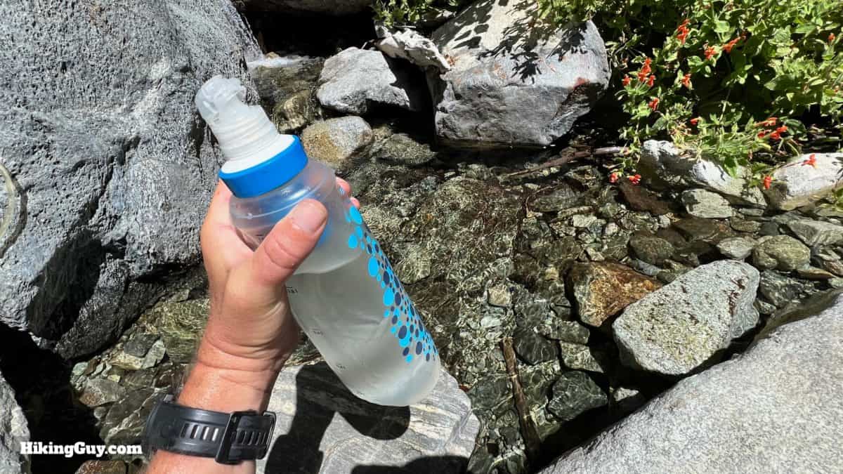
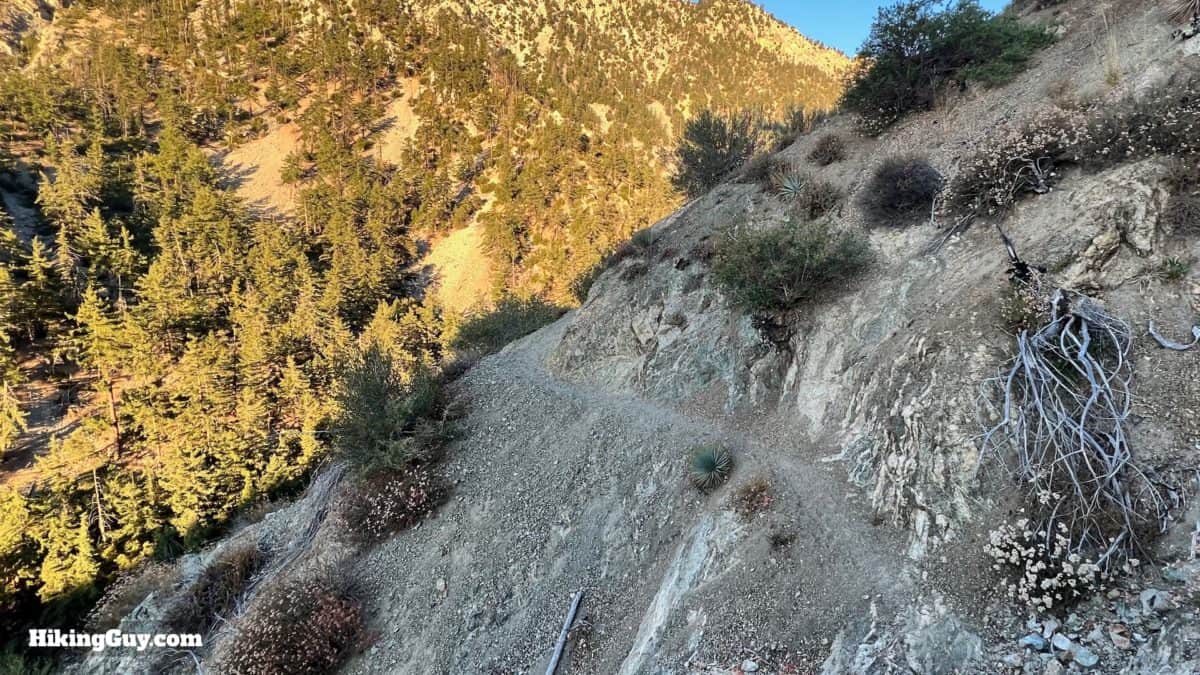
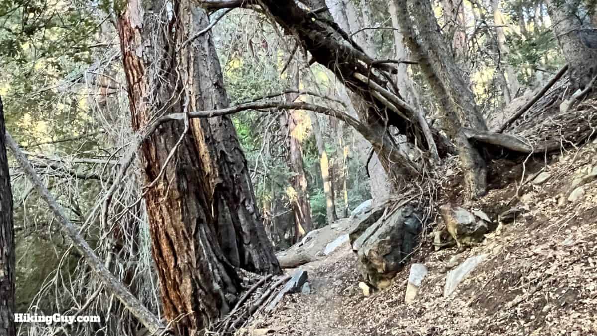
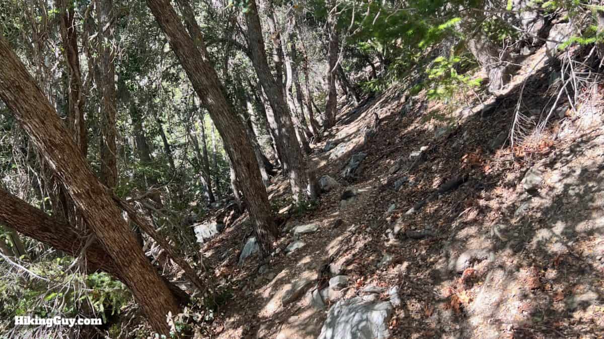
The mountains of Southern California can be a place of extremes, and the Middle Fork Trail is no exception. In the summer, it can be scorching on the lower slopes, and in the winter, there can be snow and ice. Lytle Creek usually flows year-round, and you can refill with water (filtered) along the way. I'd give the trail a skip in icy and winter conditions. There are very narrow sections on steep slopes that could be challenging.
- Insects can be bad along the creek.
- Trekking poles will help on the steep slopes.
- Bring layers during cooler temperatures. Icehouse Saddle can be windy and cold.
- There's a mix of shade and exposure on the trail.
Gear That I Love Right Now
Nothing is sponsored or promoted, just the actual gear that I use.


Check out the complete list here. ( Updated July 2024)
Middle Fork Trail Maps
How Will You Navigate?
 Using the Apple Watch for Hiking
 Garmin Fenix 7 & Epix Review For Hikers
 How To Read a Topographic Map
 Garmin GPSMAP 67i Review
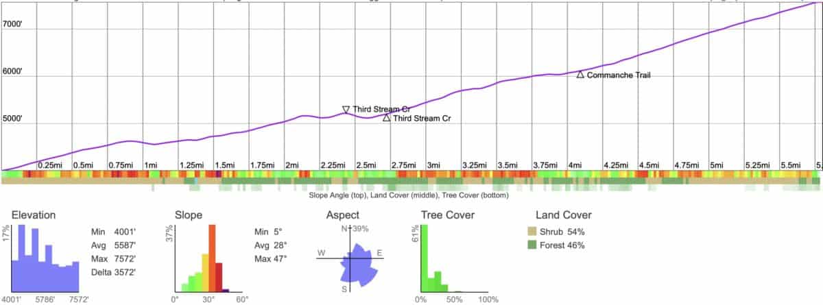
Elevation Profile
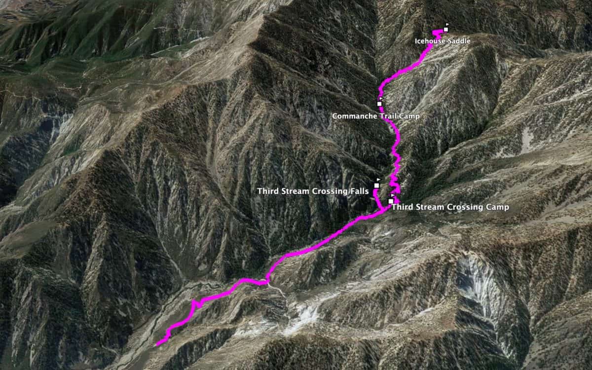
3D Map
Camping
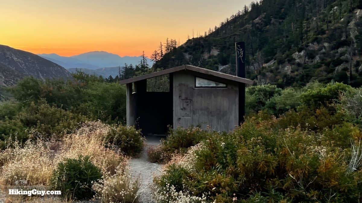
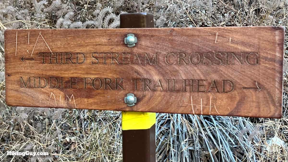
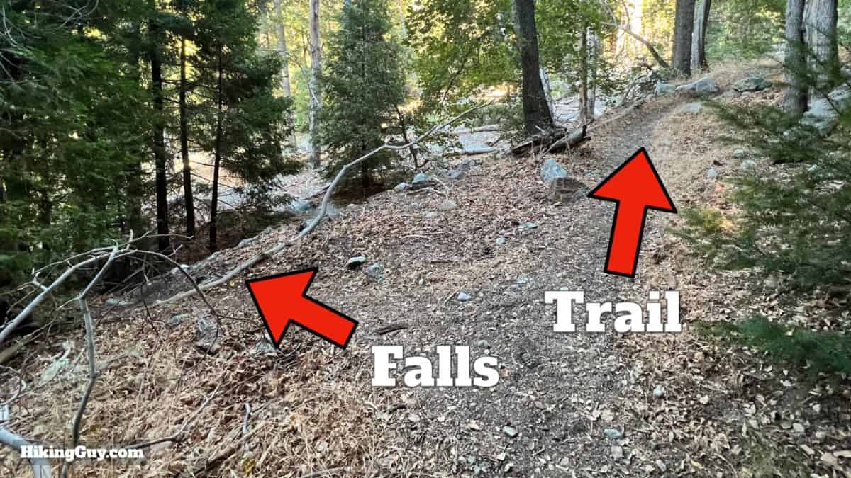
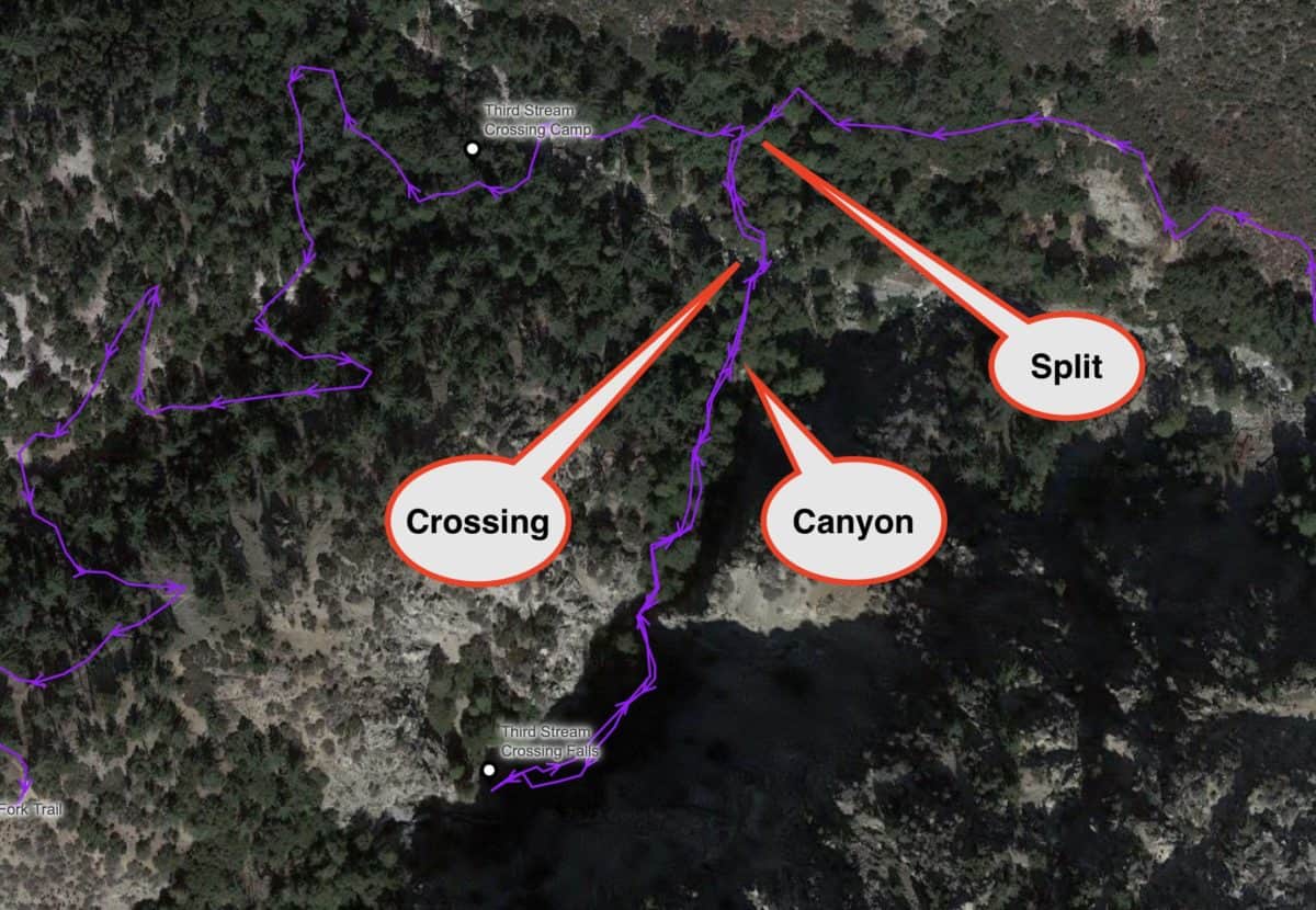
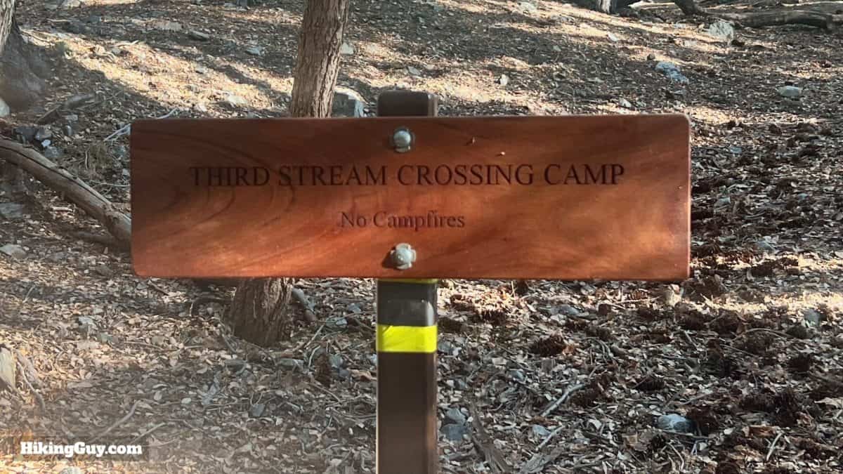
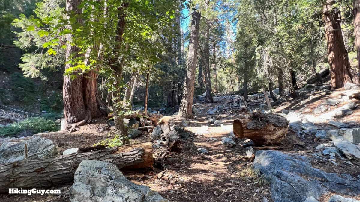
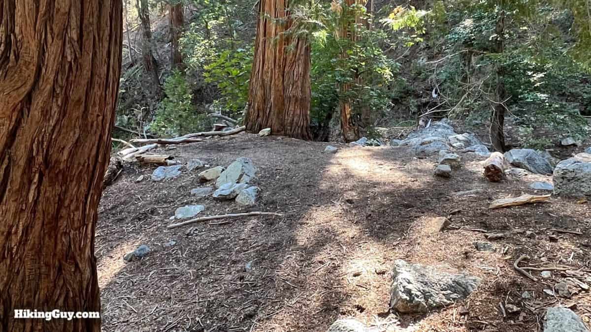
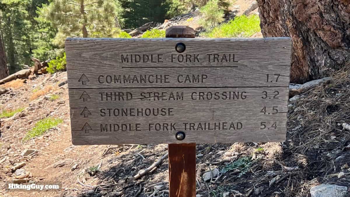
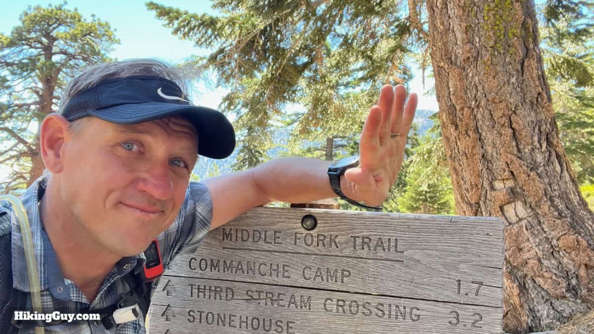
The Middle Fork Trail is a popular spot for backcountry camping. You can hike a short distance, set up camp, and feel like you are miles away from civilization. There are three camps along the way, Stonehouse, Third Stream Crossing, and Commanche. For Stonehouse, you don't technically need a permit since it's outside of the Cucamonga Wilderness border. For the other two, pick up a free overnight permit at permits.sgwa.org. The campsites have flat areas for several tents; they're not large. My favorite is Third Stream Crossing, which is next to Lytle Creek.
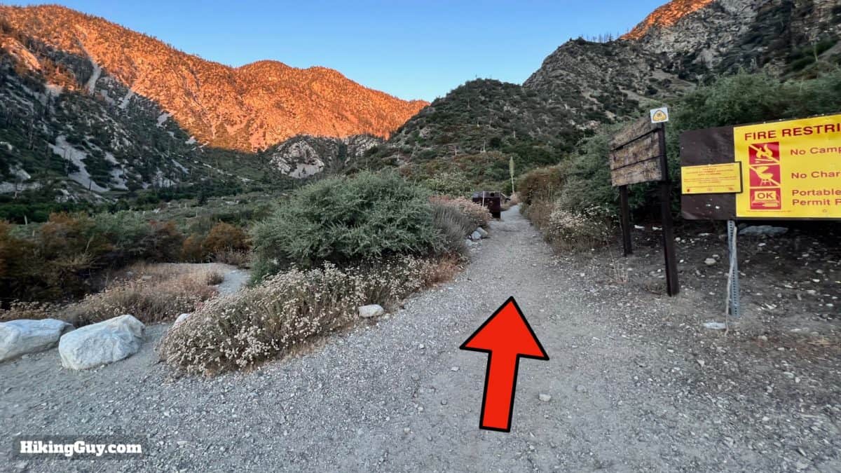
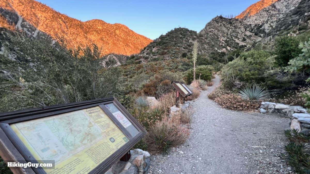
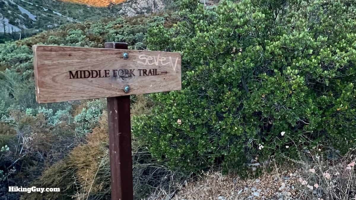
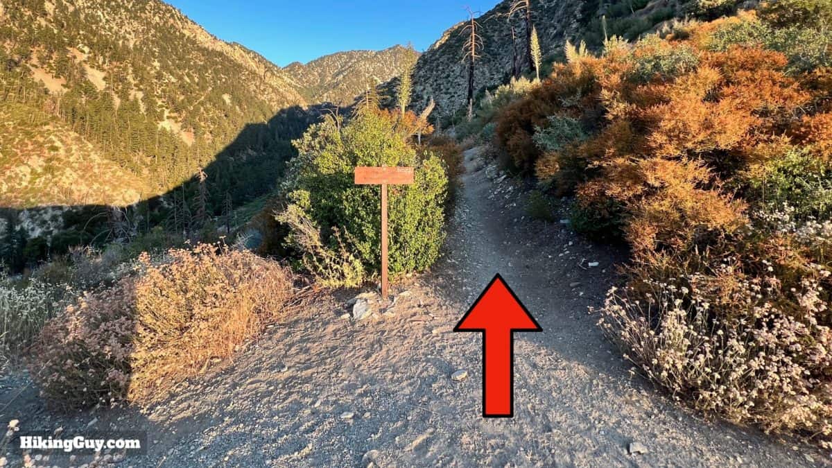
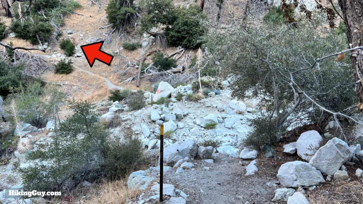
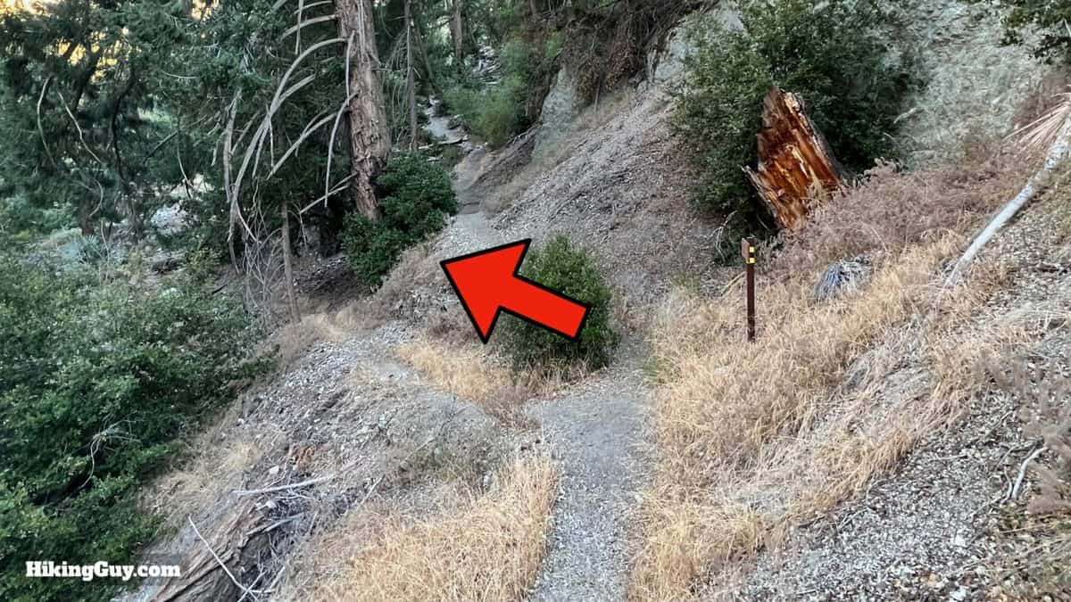
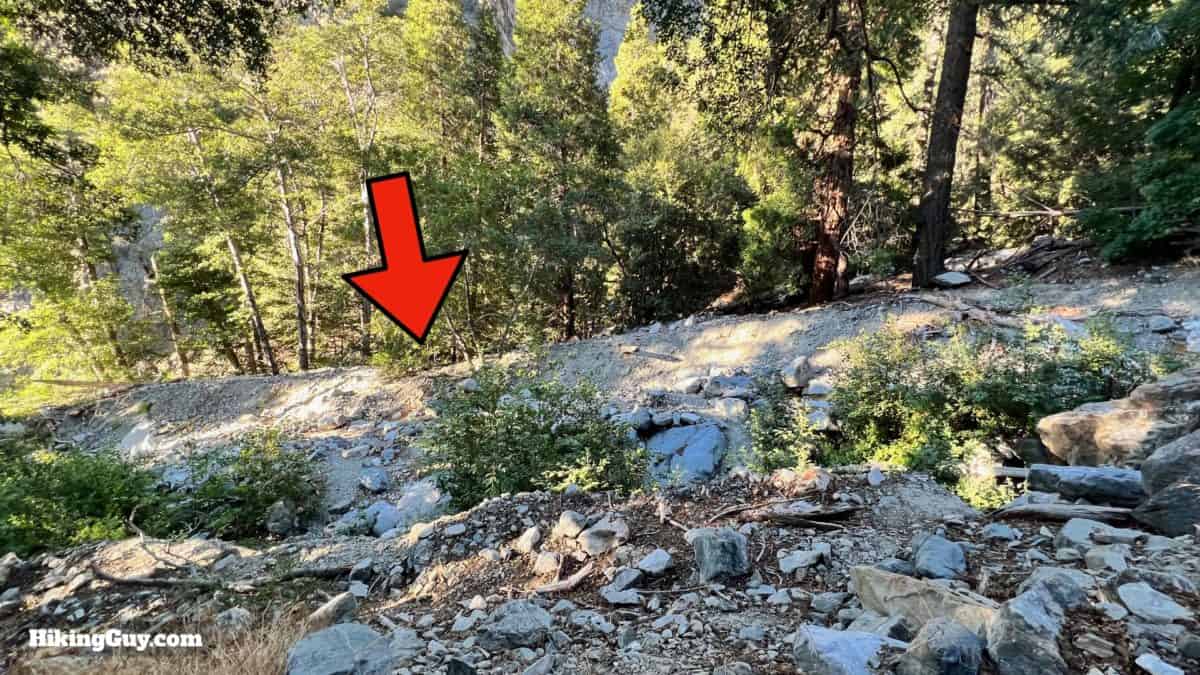
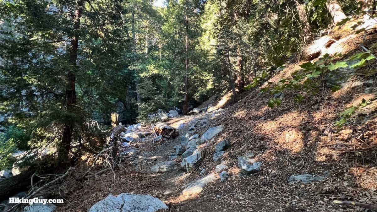
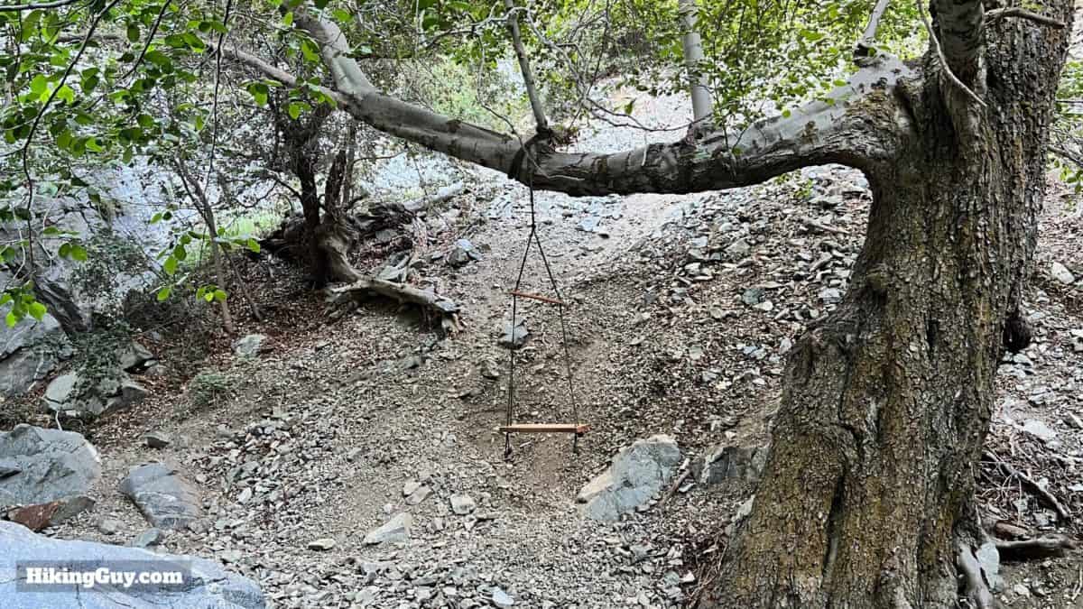
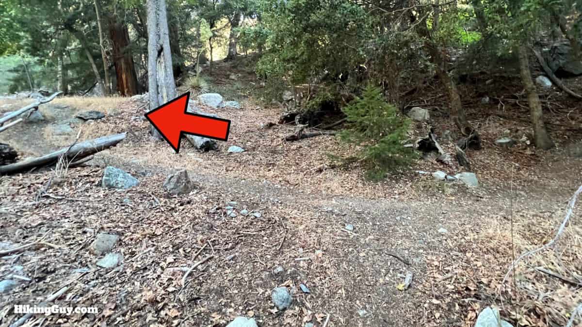
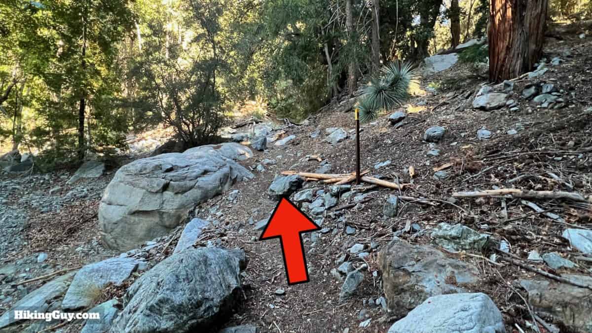
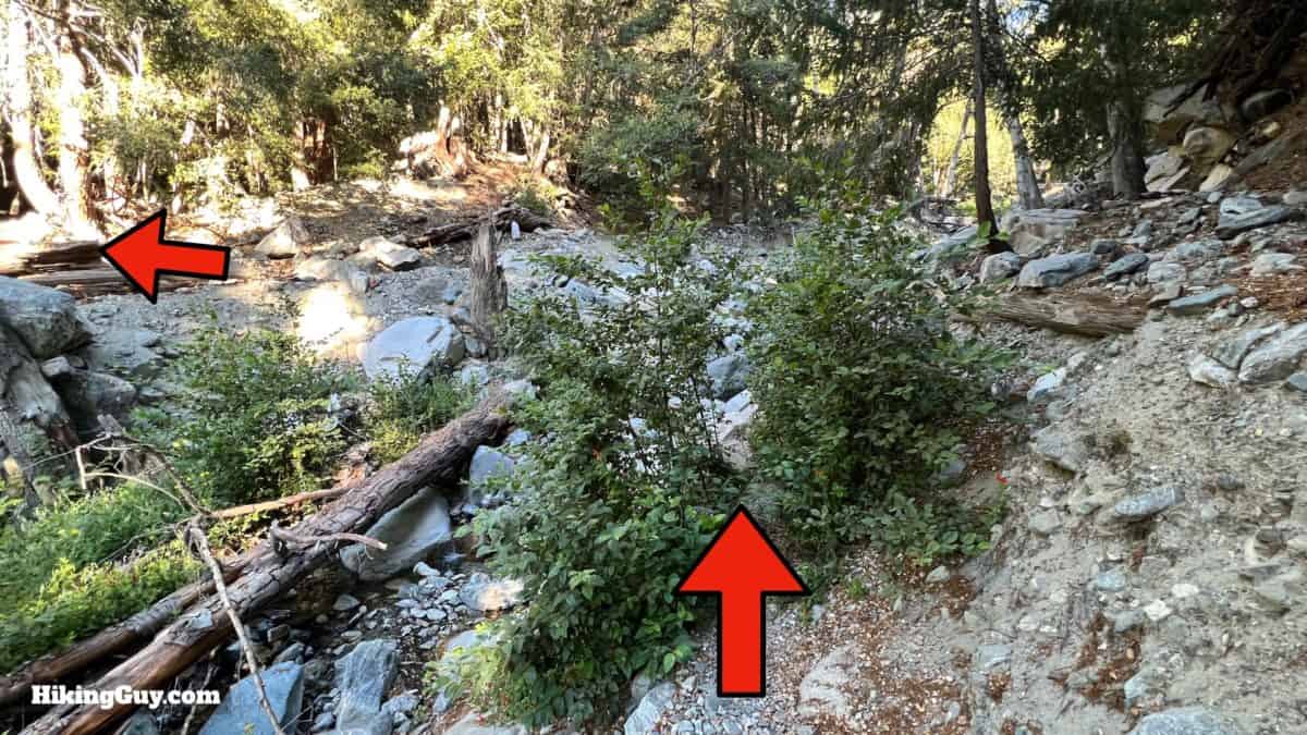
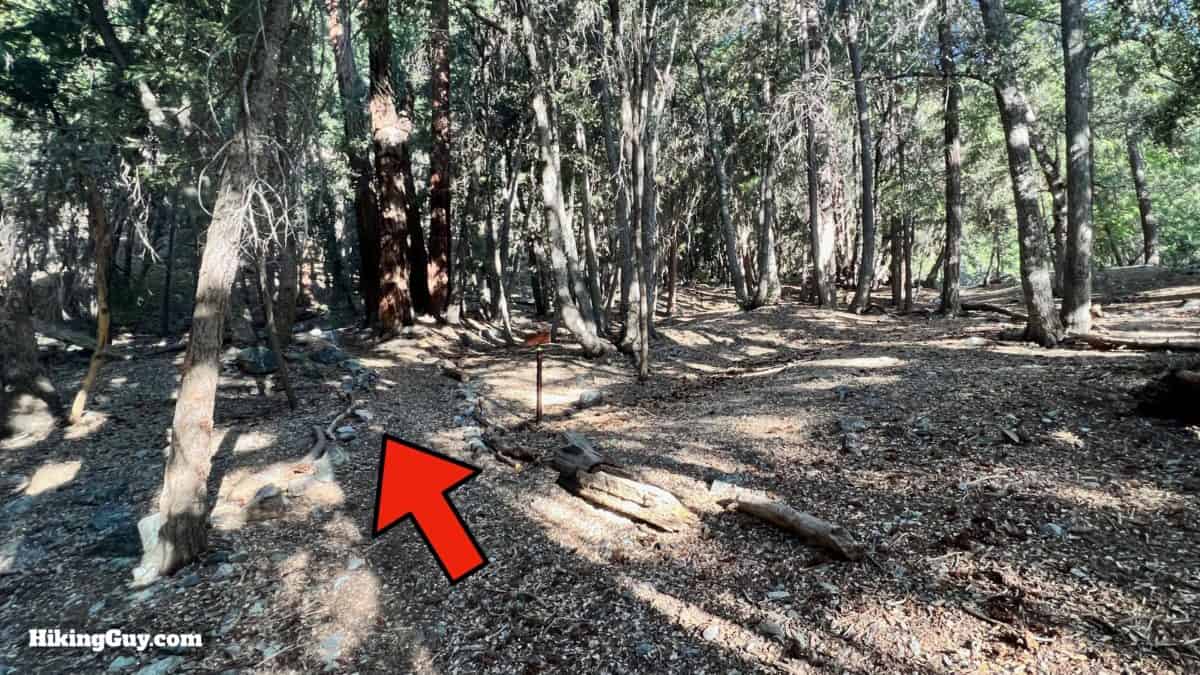
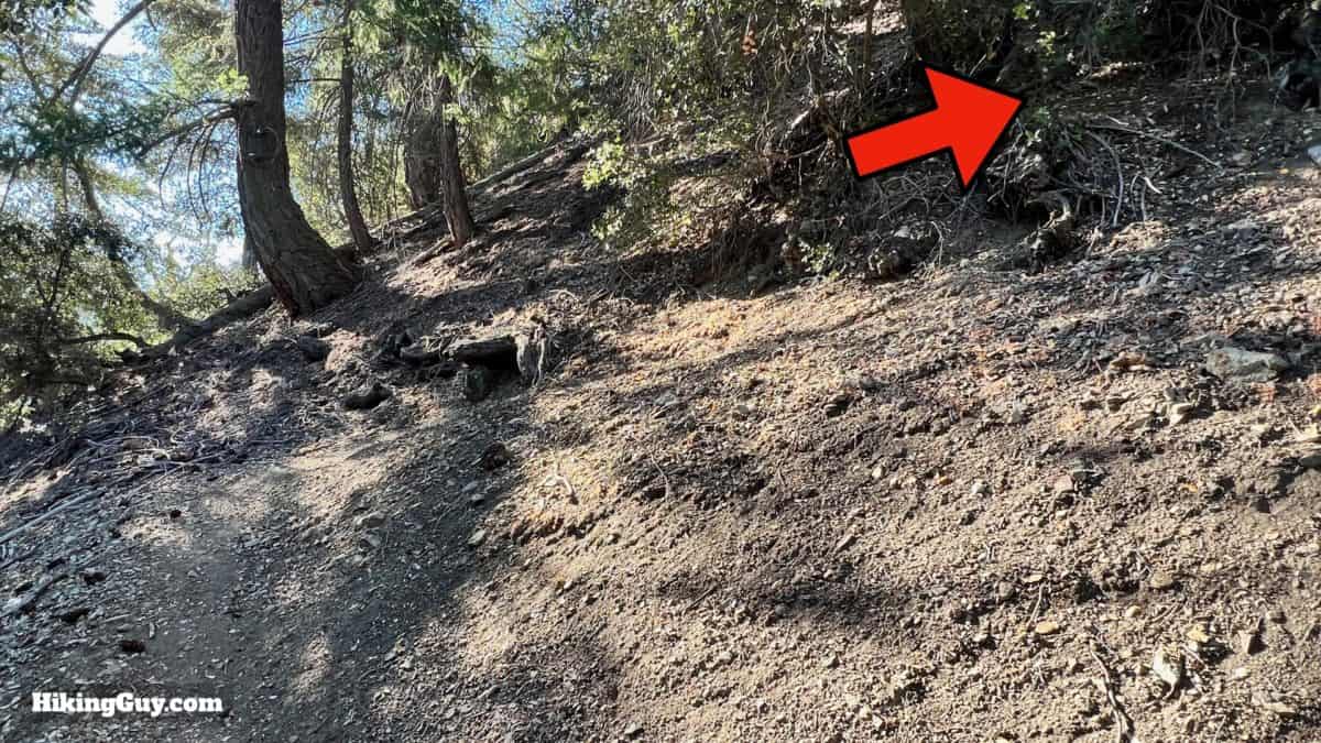
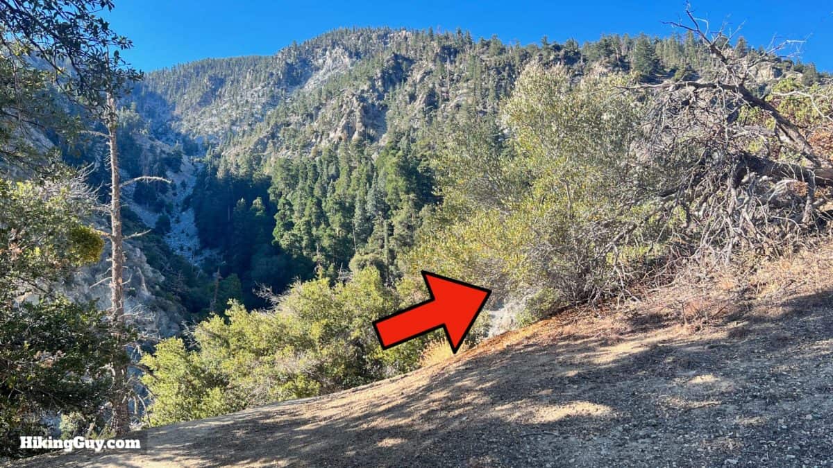
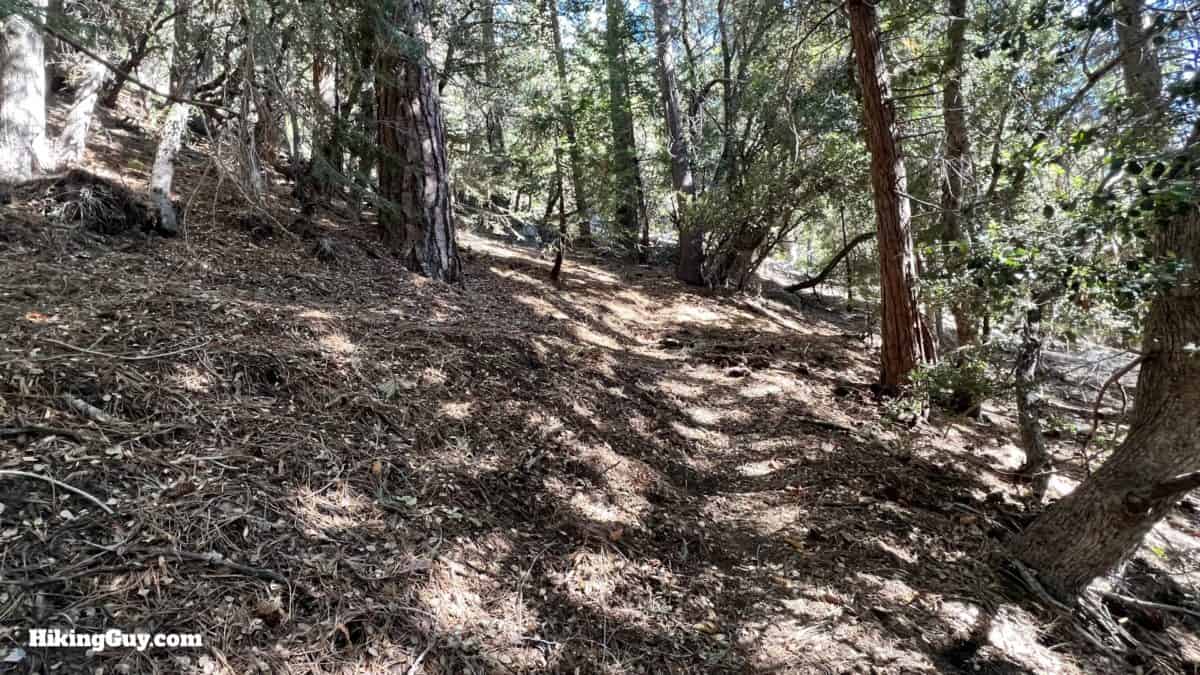
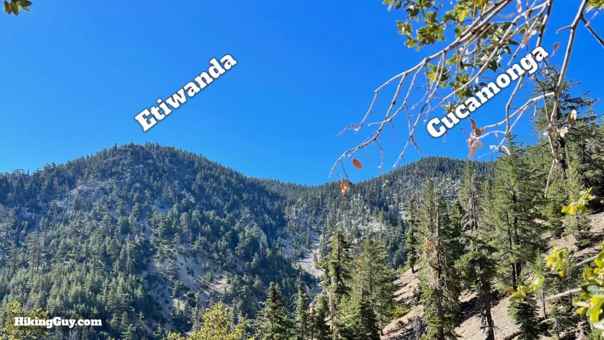
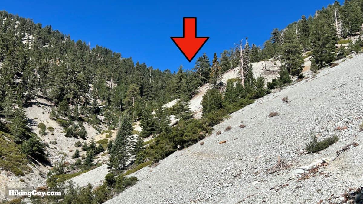
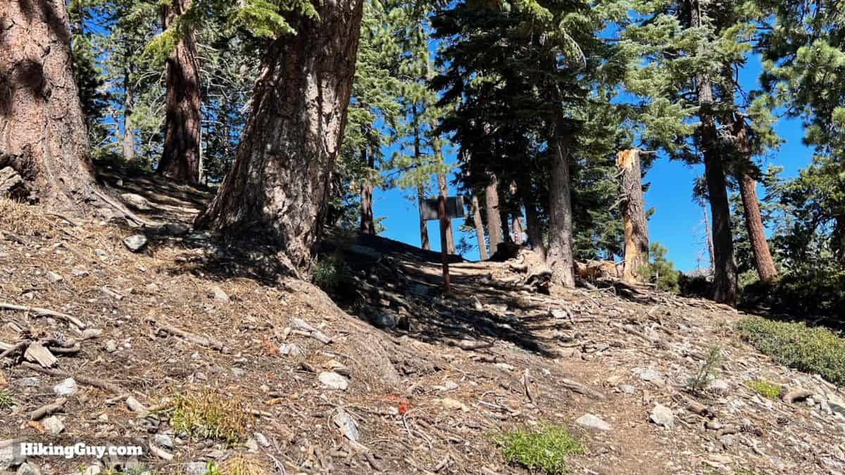
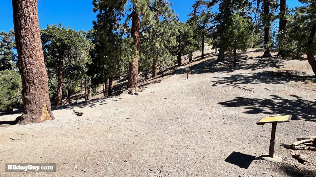
Middle Fork Trail Hike Directions
Lytle Creek is named after Captain Andrew Lytle, who led a wagon train of Mormons from Council Bluffs, Iowa, to this valley in 1854.
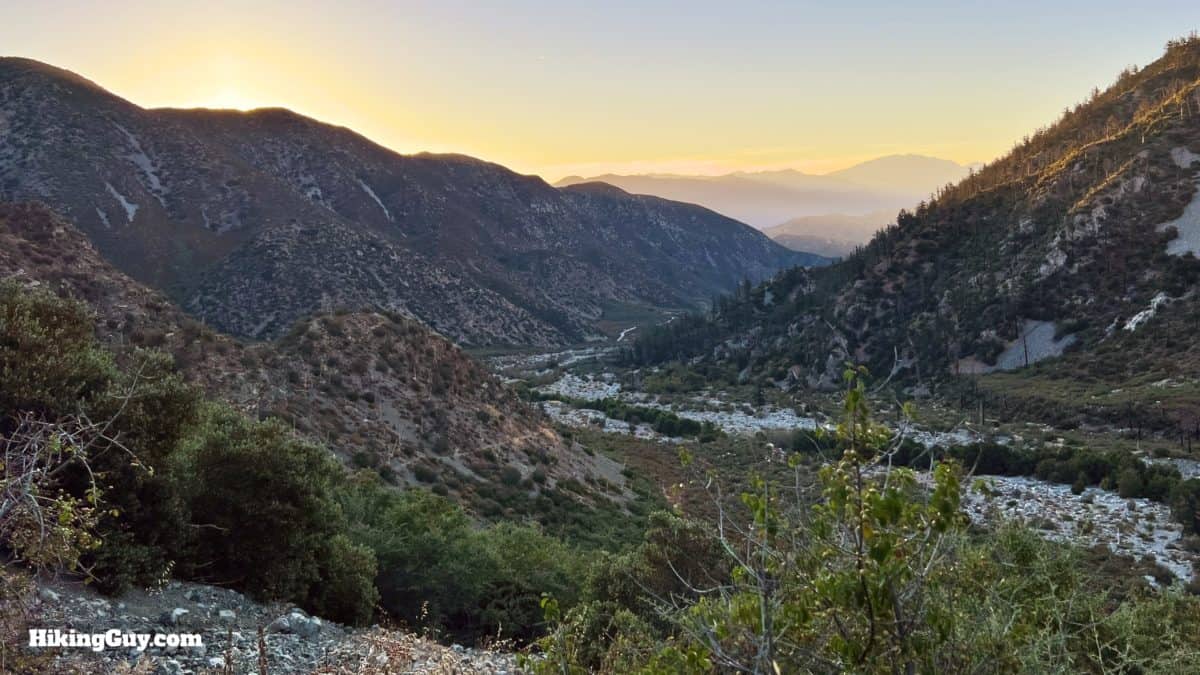

Lytle Creek is home to a naturally reproducing rainbow trout population and is eligible for National Wild & Scenic River protection.
Keep your eyes open for Nelson Bighorn Sheep, which live on these slopes.
Need More Info?
- Have a question about the guide? Join my Patreon and ask me a question.
- When planning, always check the park website and social media to make sure the trails are open. Similarly, check the weather and road conditions.
- Do you have an update to this guide? View the Youtube comments for this video. Leave a comment and I will do my best to update the guide.
Related Guides
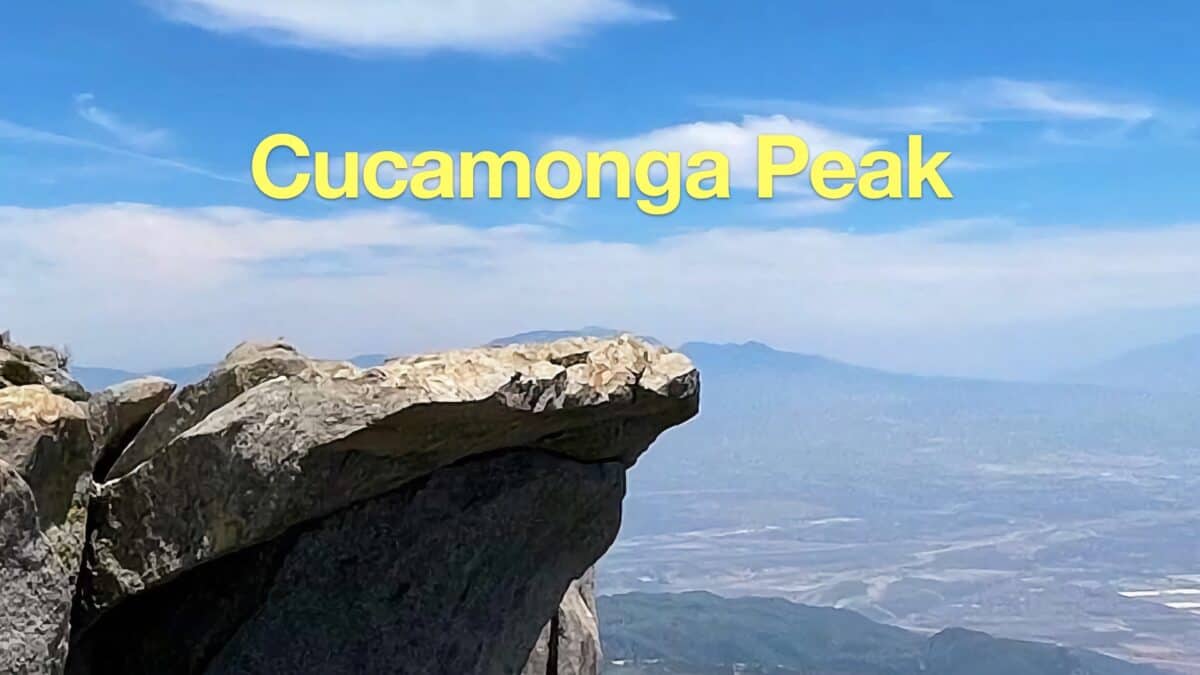 Cucamonga Peak Hike
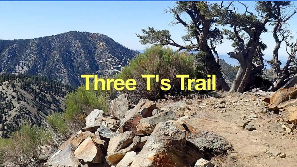 Hike the Three T's Trail
 Hike Ontario Peak and Bighorn Peak
 Los Angeles Hikes
 Angeles National Forest Hikes
 LA Mountain Hikes
 San Bernardino National Forest Hiking Trails
Popular Guides
 Best Hiking Gear 2024
 Hiking Boots or Shoes: Do I Really Need Hiking Boots?
 When to Hit SOS on inReach
This Guide Was Written by Cris Hazzard

Hi, I'm Cris Hazzard, aka Hiking Guy, a professional outdoors guide, hiking expert, and author based in Southern California. I created this website to share all the great hikes I do with everyone else out there. This site is different because it gives detailed directions that even the beginning hiker can follow. I also share what hiking gear works and doesn't so you don't waste money. I don't do sponsored or promoted content; I share only the gear recommendations, hikes, and tips that I would with my family and friends. If you like the website and YouTube channel, please support these free guides (I couldn't do it without folks like you!). You can stay up to date with my new guides by following me on YouTube, Instagram, or by subscribing to my monthly newsletter.