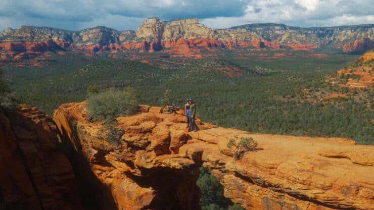

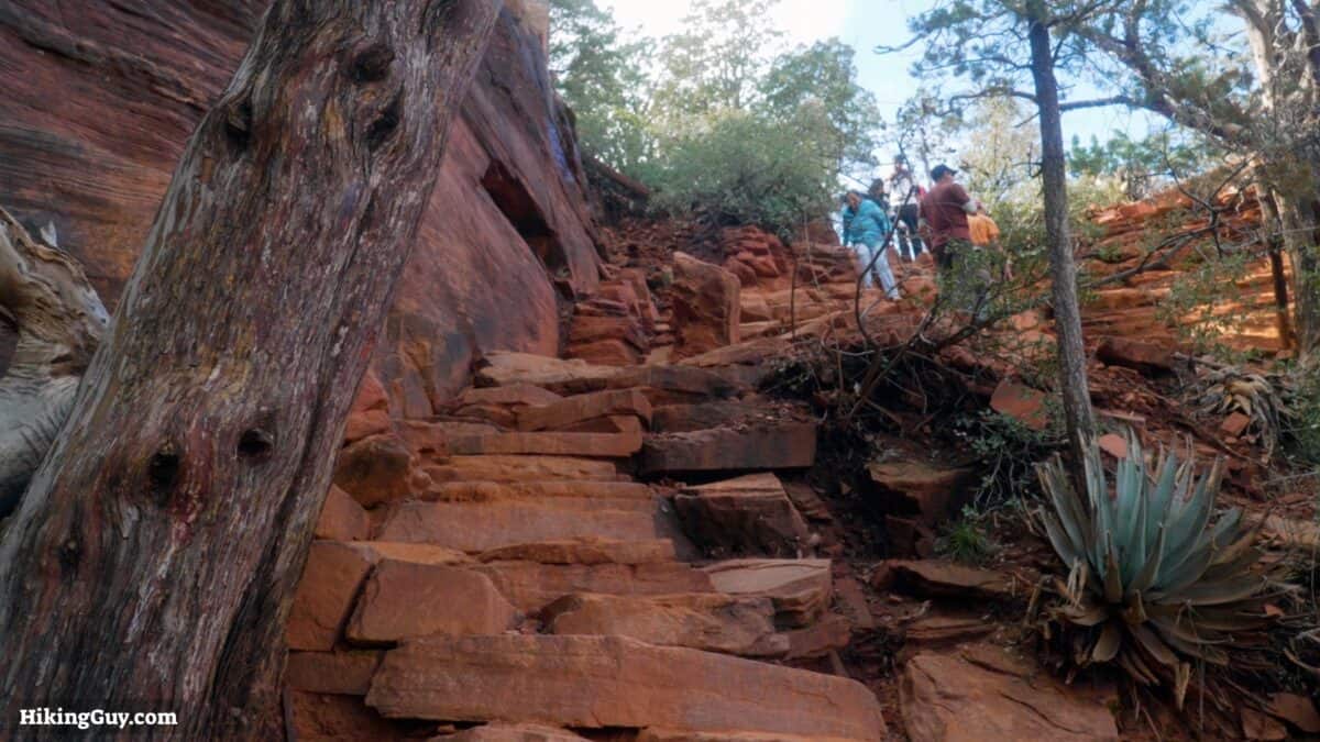
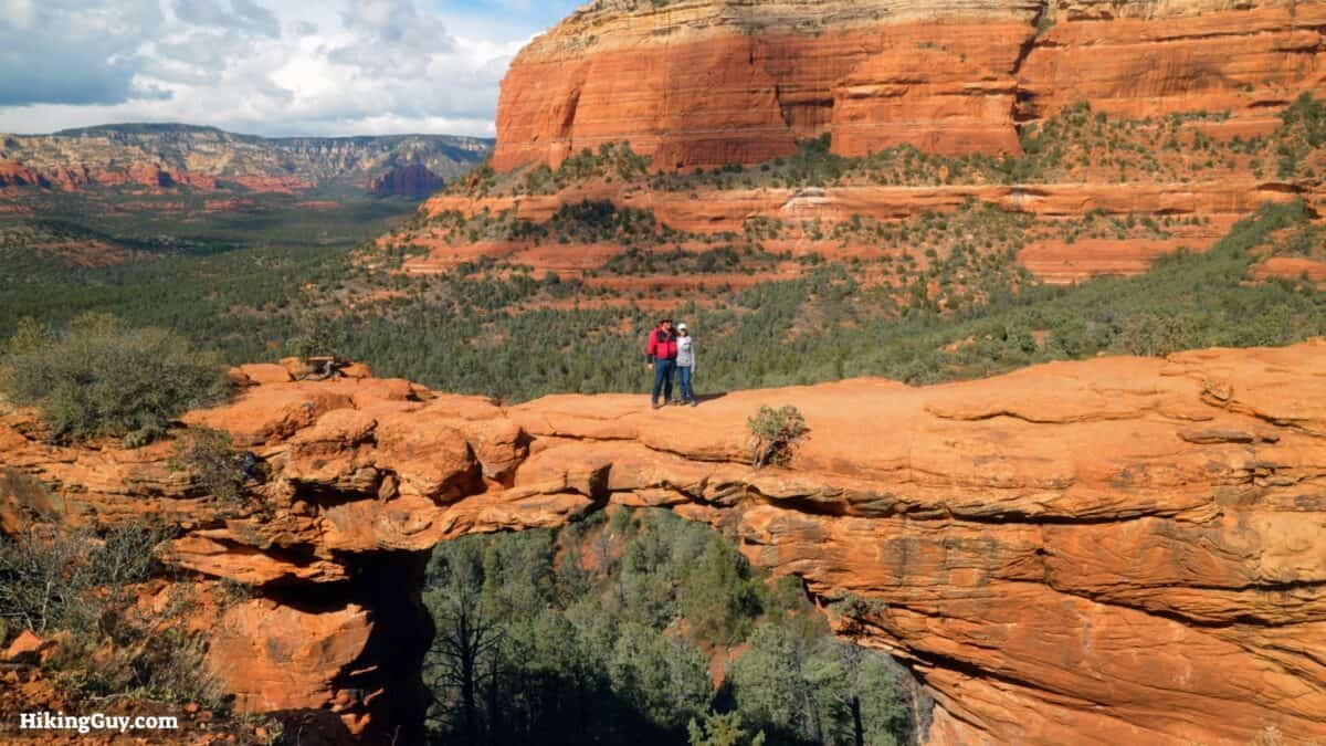
Ranked as one of the best hikes in the USA, Devil's Bridge in Sedona is a must-do. The trail can be crowded, but I'll also show you a more pleasant route that's easier to park at. Devil's Bridge, the largest natural sandstone arch in the Sedona area, is doable by most folks, with only some steep stairs at the end. Here's how to do it.
- No Hassle Parking Location
- Easy Hike Directions
- Insider Tips
Where is Devil's Bridge?
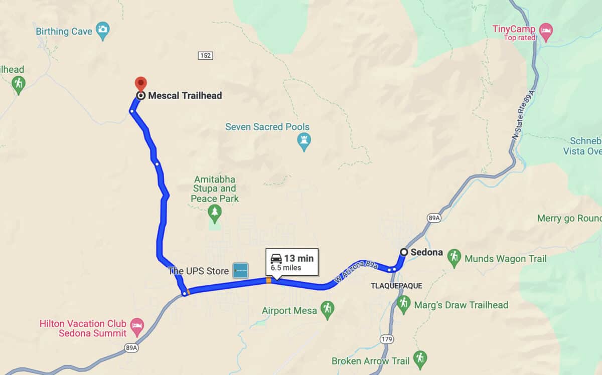
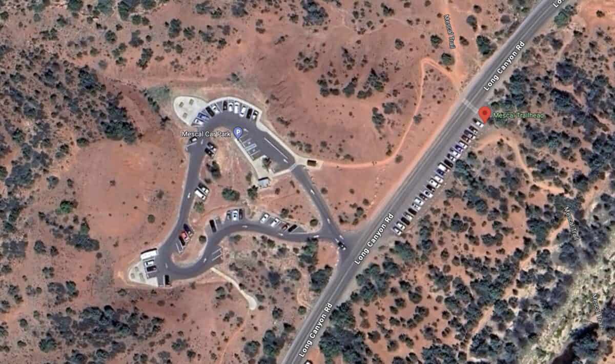
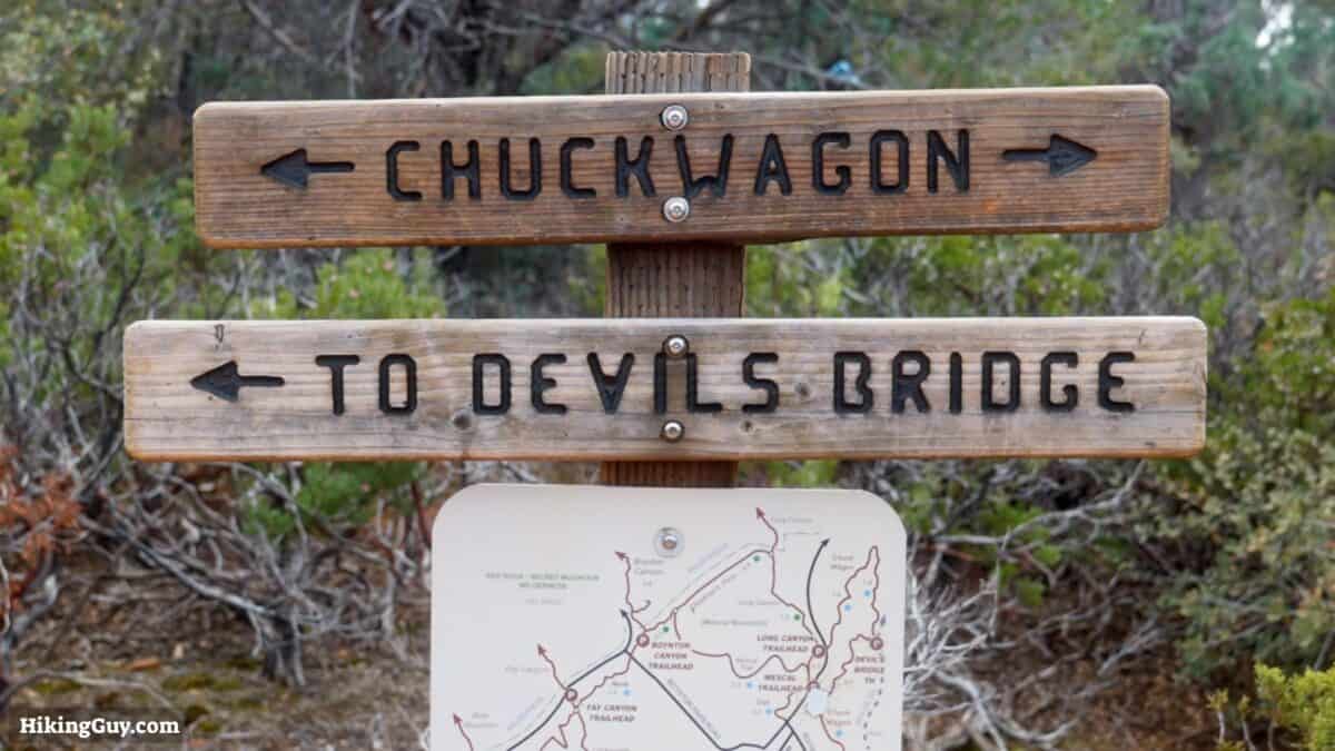
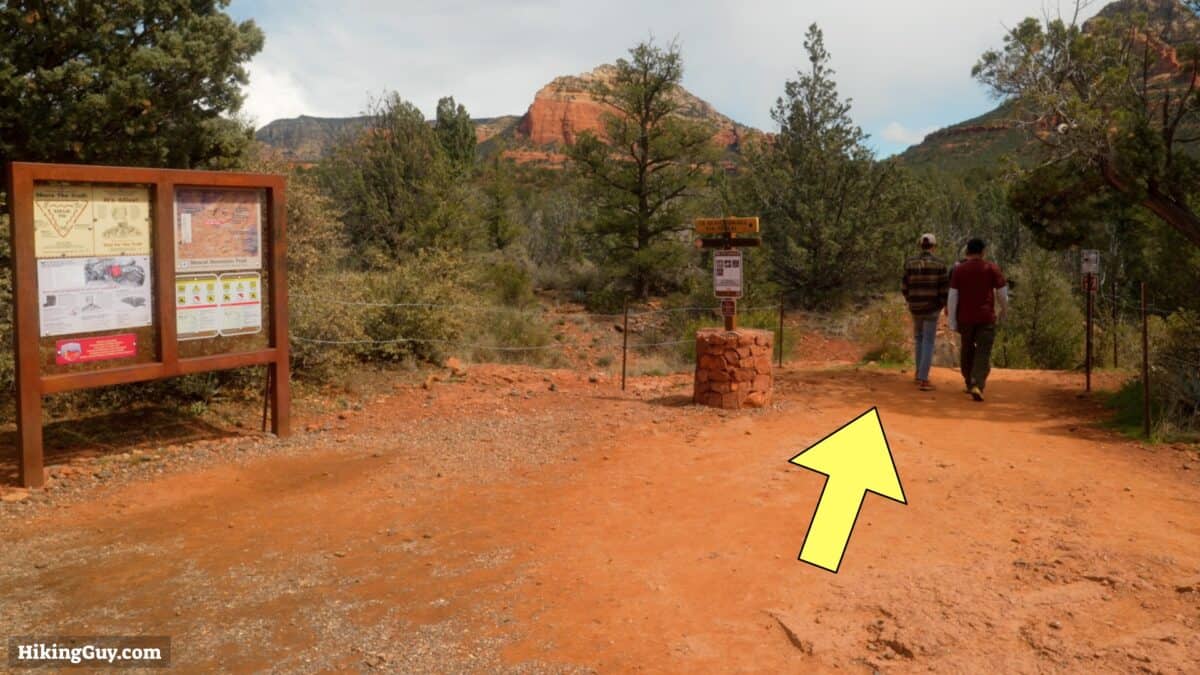
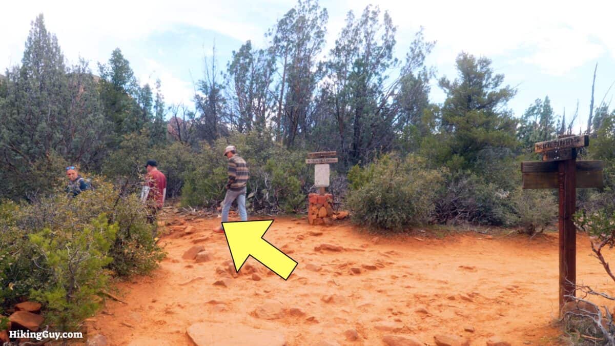
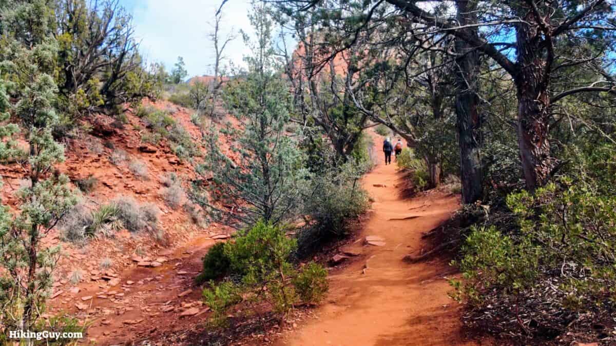
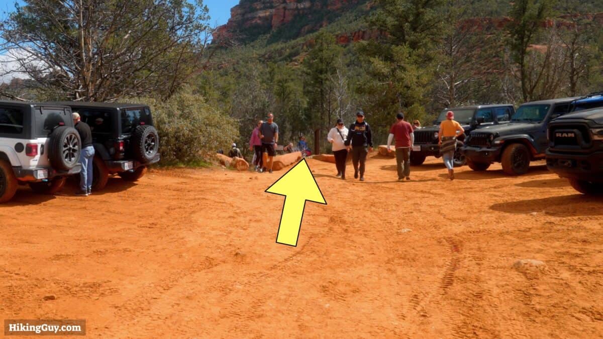
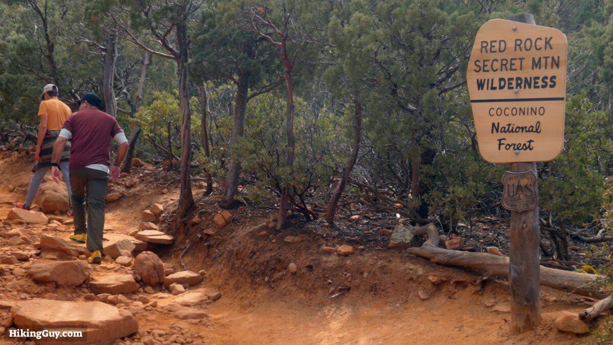
There are two main trailheads for Devil's Bridge: Dry Creek and Mescal. The hikes are about the same distance, but Mescal has advantages over Dry Creek. The Mescal Trailhead parking lot has about double the spaces of Dry Creek. Perhaps more importantly, for a pleasant hike, Dry Creek follows a dirt road halfway to Devil's Bridge, open to vehicles. On the other hand, the first half of the Mescal route is on a regular trail with no vehicles and offers some incredible views along the way.
Use this trailhead address:
Mescal Trailhead Car Park, Long Canyon Rd., Sedona, AZ 86336
Gear Recommendations
- While many hikers complete this trail in regular street clothes, I strongly recommend wearing fitness attire or light hiking gear for optimal comfort and safety.
- The most crucial item is a pair of comfortable shoes, such as trail runners, essential for happy feet.
- The high desert of Sedona has extreme temperatures. It can be over 100F in the summer, and in the winter, it can be below freezing. Bring at least 0.5L of water with you and sun protection.
Gear That I Love Right Now
Nothing is sponsored or promoted, just the actual gear that I use.


Check out the complete list here. ( Updated July 2024)
Devil's Bridge Trail Maps
How Will You Navigate?
 Using the Apple Watch for Hiking
 Garmin Fenix 7 & Epix Review For Hikers
 How To Read a Topographic Map
 Garmin GPSMAP 67i Review
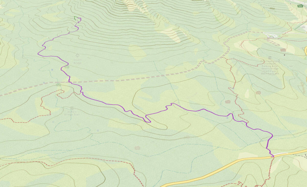
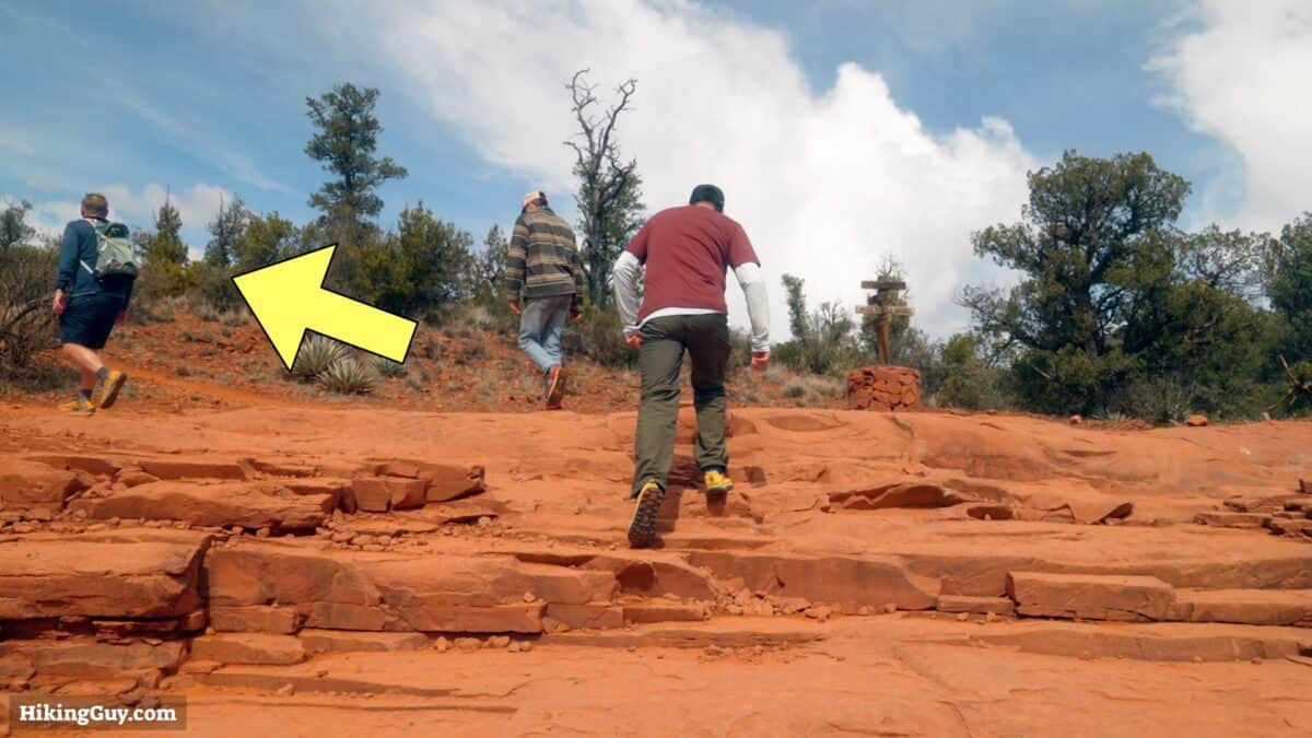
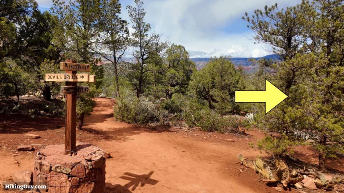
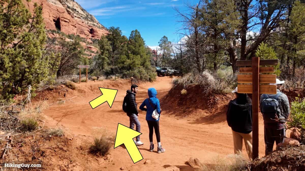
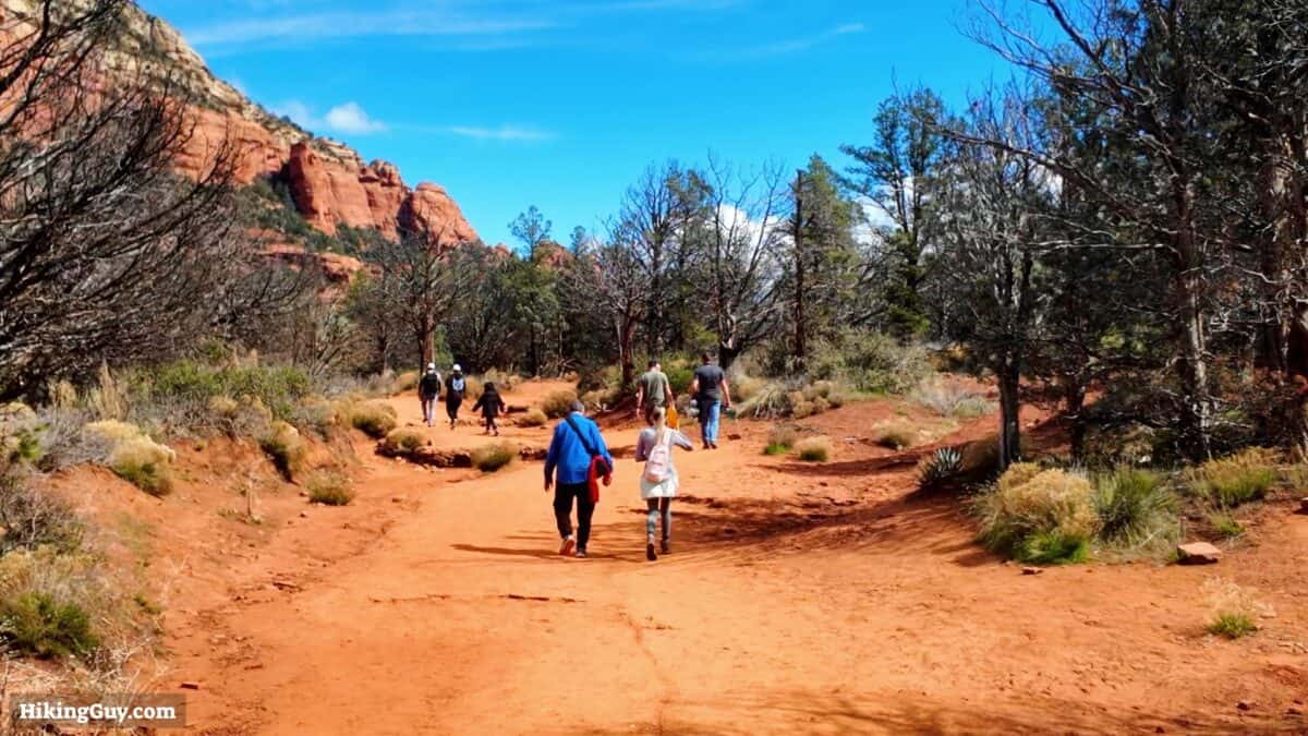
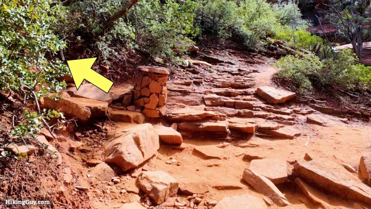
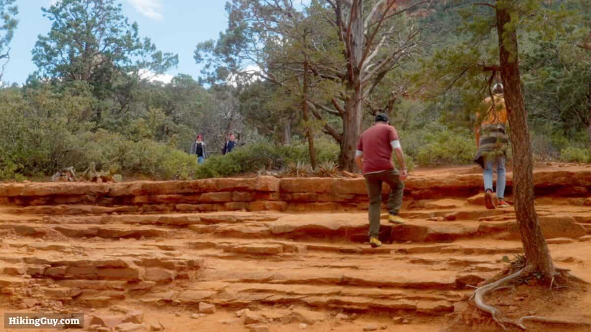
Devil's Bridge Hike Directions

Need More Info?
- Have a question about the guide? Join my Patreon and ask me a question.
- When planning, always check the park website and social media to make sure the trails are open. Similarly, check the weather and road conditions.
- Do you have an update to this guide? View the Youtube comments for this video. Leave a comment and I will do my best to update the guide.
Related Guides
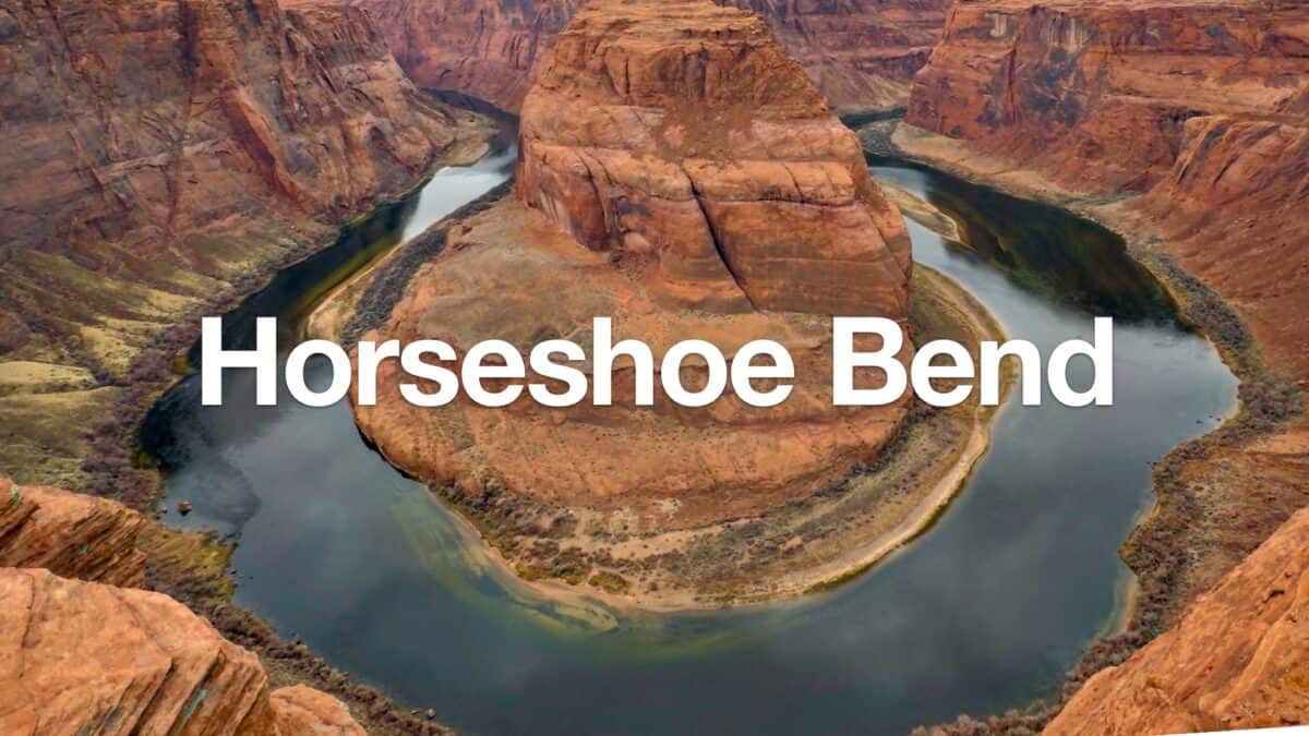 Horseshoe Bend Hike (Arizona)
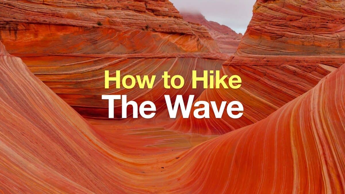 The Wave, Arizona - An Easy Guide
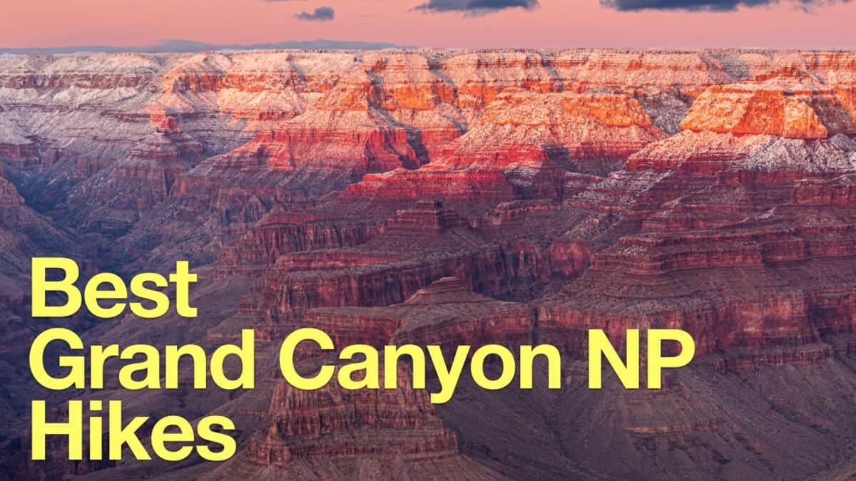 Grand Canyon Hikes
 Phoenix Hiking
 Best Hikes in the World
Popular Guides
 Best Hiking Gear 2024
 Hiking Boots or Shoes: Do I Really Need Hiking Boots?
 When to Hit SOS on inReach
This Guide Was Written by Cris Hazzard

Hi, I'm Cris Hazzard, aka Hiking Guy, a professional outdoors guide, hiking expert, and author based in Southern California. I created this website to share all the great hikes I do with everyone else out there. This site is different because it gives detailed directions that even the beginning hiker can follow. I also share what hiking gear works and doesn't so you don't waste money. I don't do sponsored or promoted content; I share only the gear recommendations, hikes, and tips that I would with my family and friends. If you like the website and YouTube channel, please support these free guides (I couldn't do it without folks like you!). You can stay up to date with my new guides by following me on YouTube, Instagram, or by subscribing to my monthly newsletter.