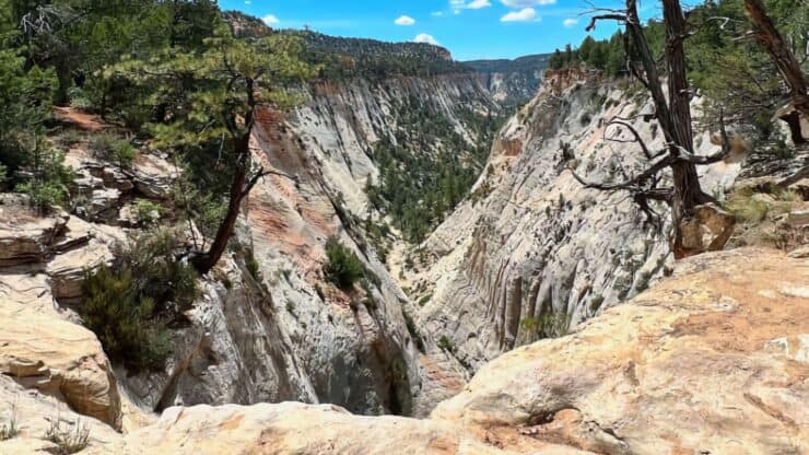

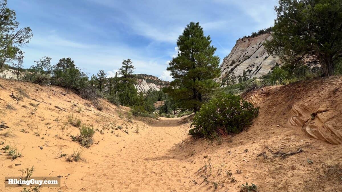
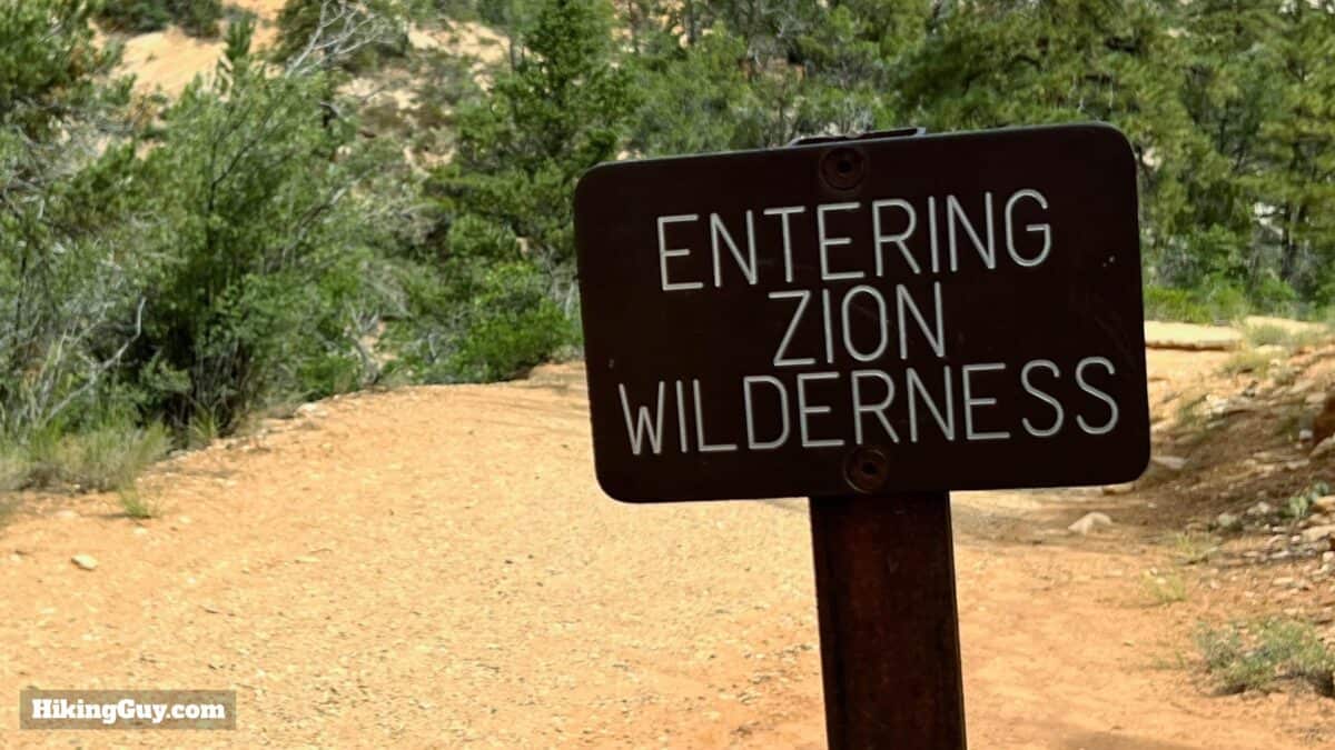
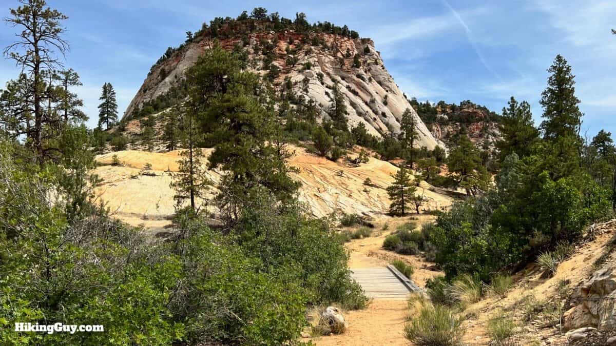
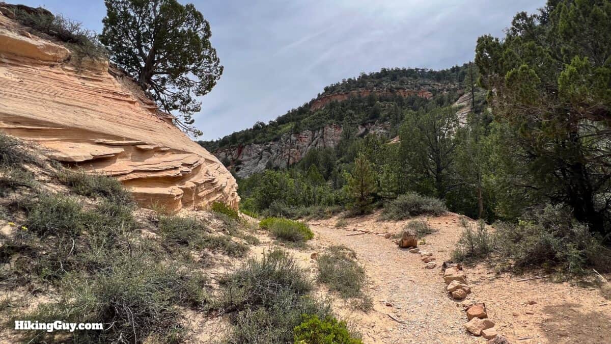
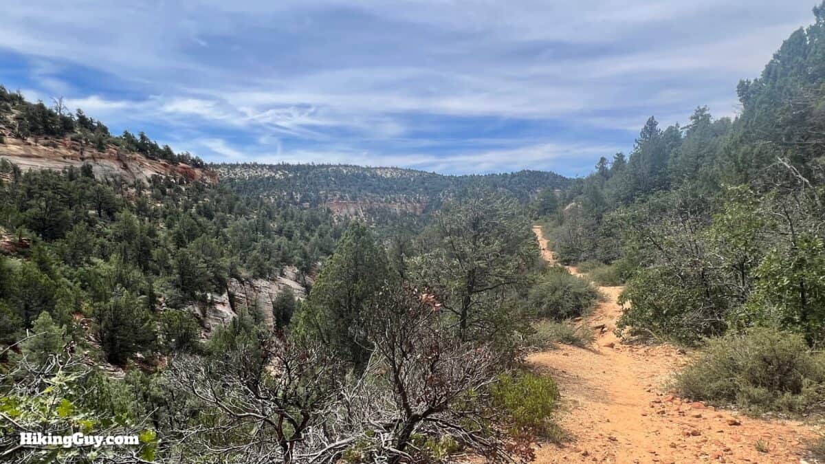
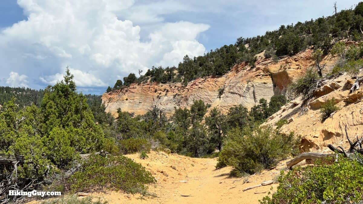
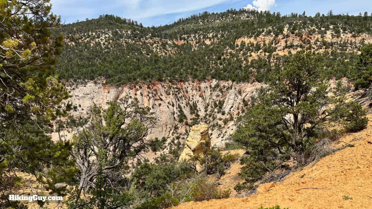
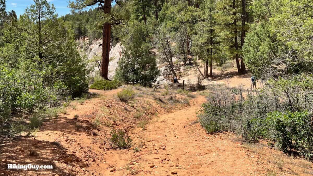
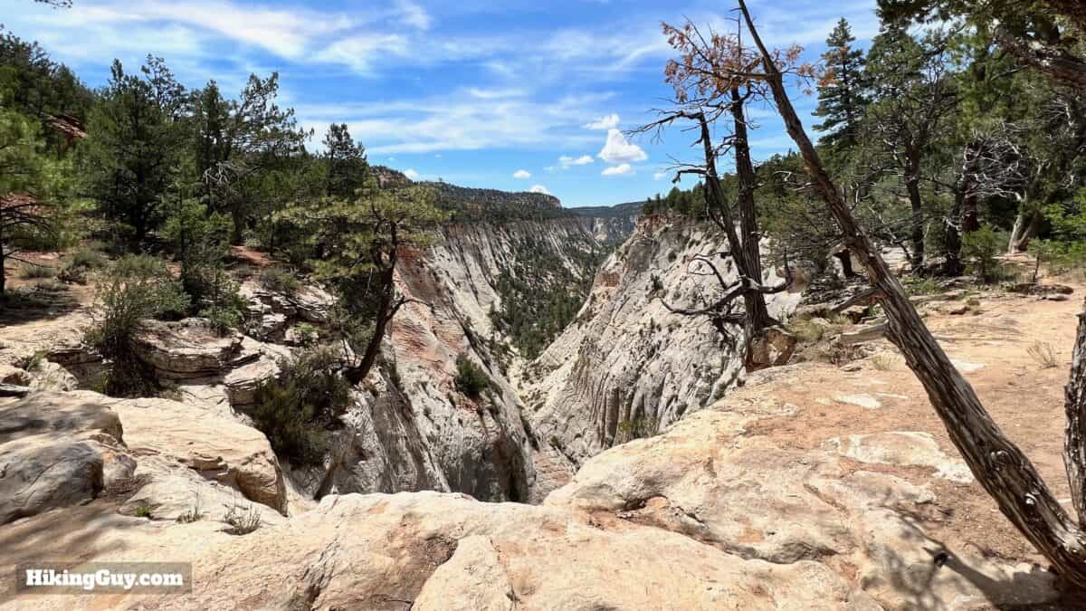
Just minutes from the park entrance but eons away from the crowds, hiking the East Rim Trail to the Jolley Gulch viewpoint is spectacular. The trail meanders through incredible rock formations, canyons covered in pines, and past stunning views of Checkerboard Mesa and Jolley Gulch. If you want to experience pristine Zion National Park wilderness in relative solitude, this hike is for you.
- Video and Turn-by-Turn Directions for the East Rim Trail
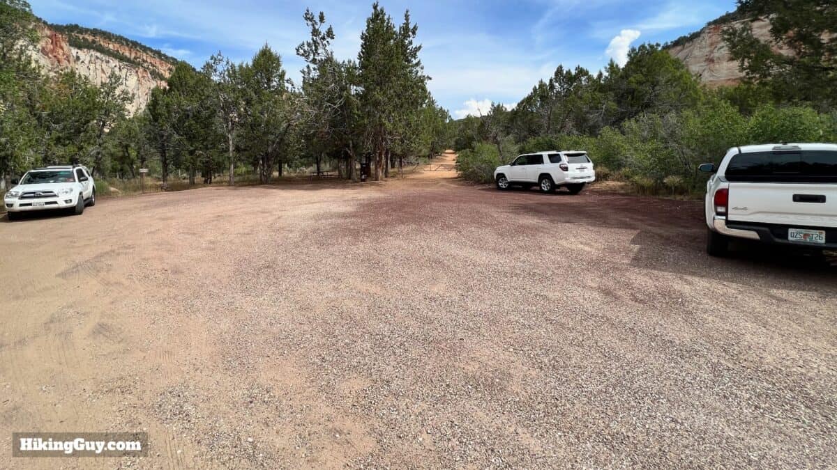
- Parking for the Jolley Gulch Hike
- Insider Tips and Recommendations for the Hike
Where is East Rim / Jolley Gulch Hike?
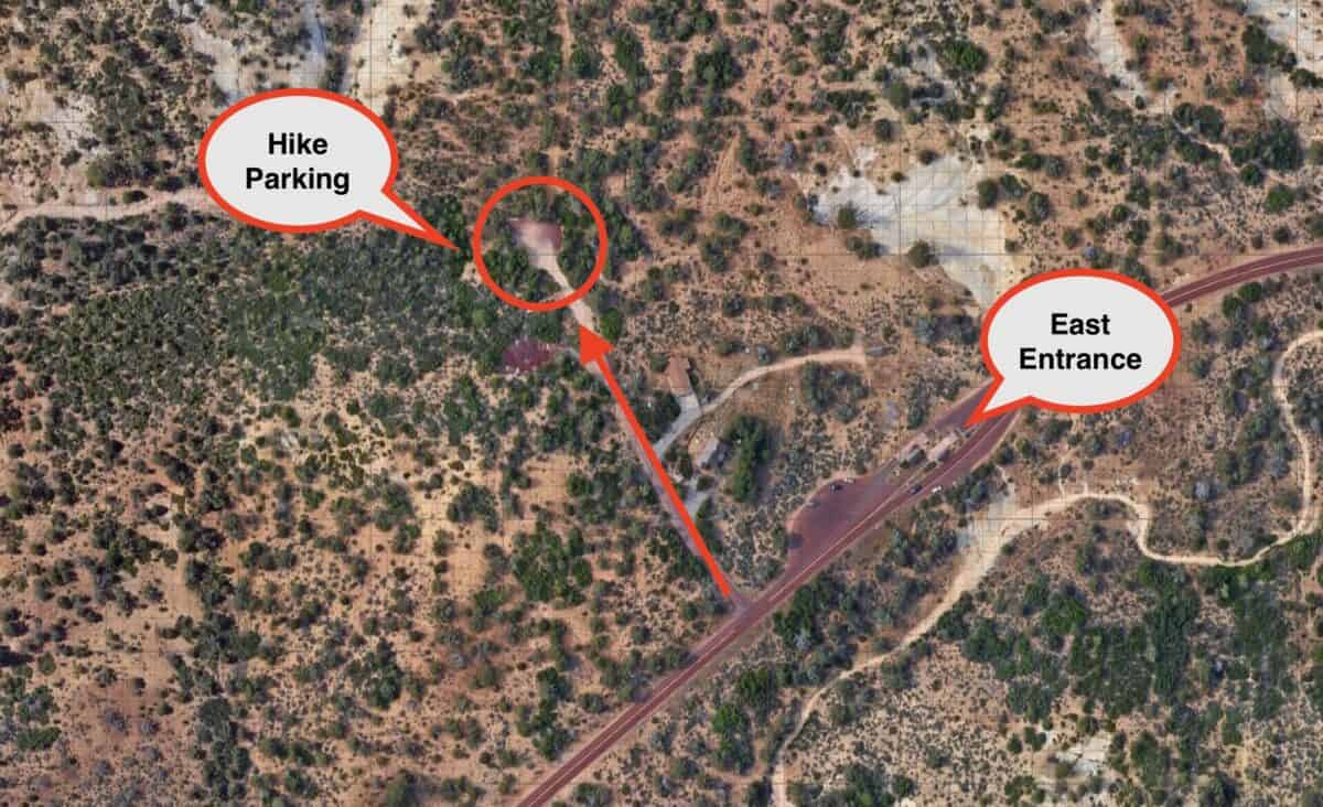
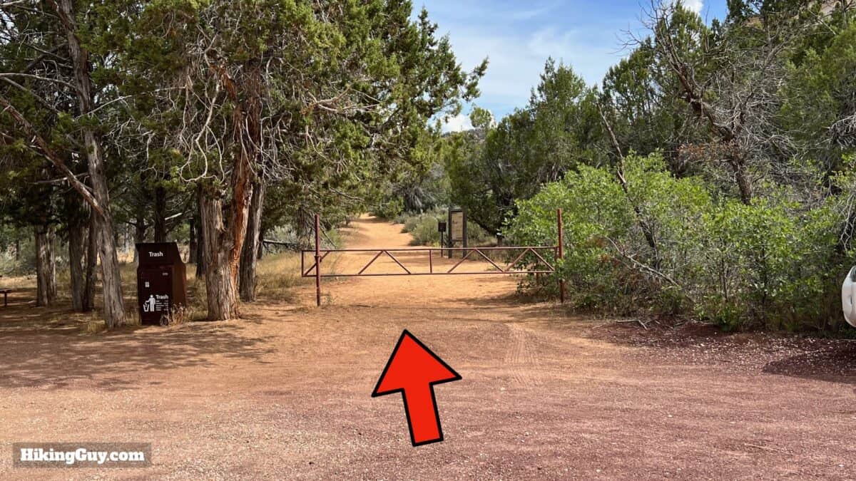
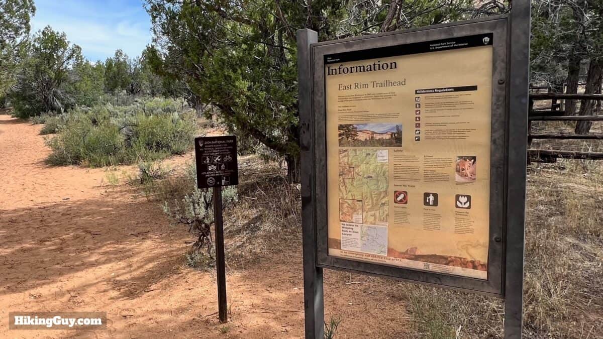
The trailhead for this hike is easy to reach. It's seconds from the East Entrance, just inside the park at the East Rim Trailhead. Use this trailhead address:
East Rim Trailhead, Zion National Park, Orderville, UT 84758
Gear For the Hike
The trail is wide, and the grades are gentle on this hike; you don't need anything special. I'd recommend light hiking gear or fitness clothes. The trails are sandy (like most of Zion), so if you wear low gaiters, they'll be good here. Bring at least 1L of water. The trail is mainly exposed and can get hot in the summer.
Gear That I Love Right Now
Nothing is sponsored or promoted, just the actual gear that I use.


Check out the complete list here. ( Updated October 2024)
East Rim Trail to Jolley Gulch Maps
How Will You Navigate?
 Using the Apple Watch for Hiking
 Garmin Fenix 7 & Epix Review For Hikers
 How To Read a Topographic Map
 Garmin GPSMAP 67i Review
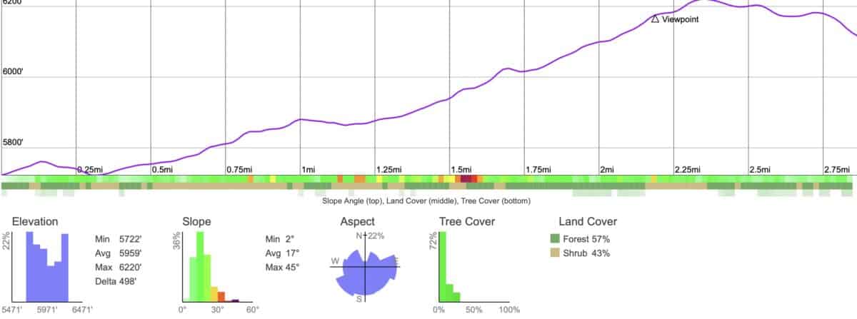
Elevation Profile
3D Map
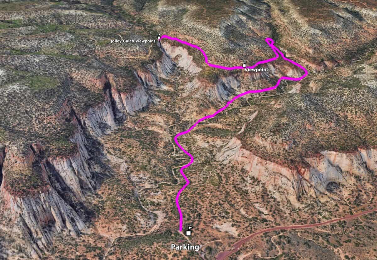
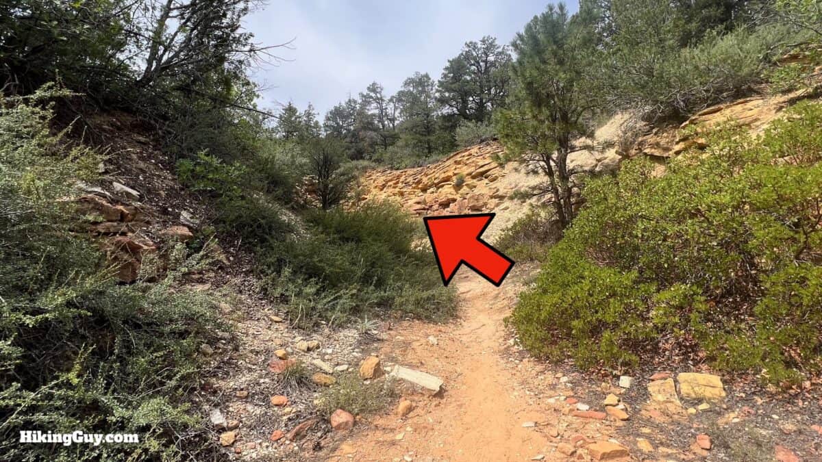
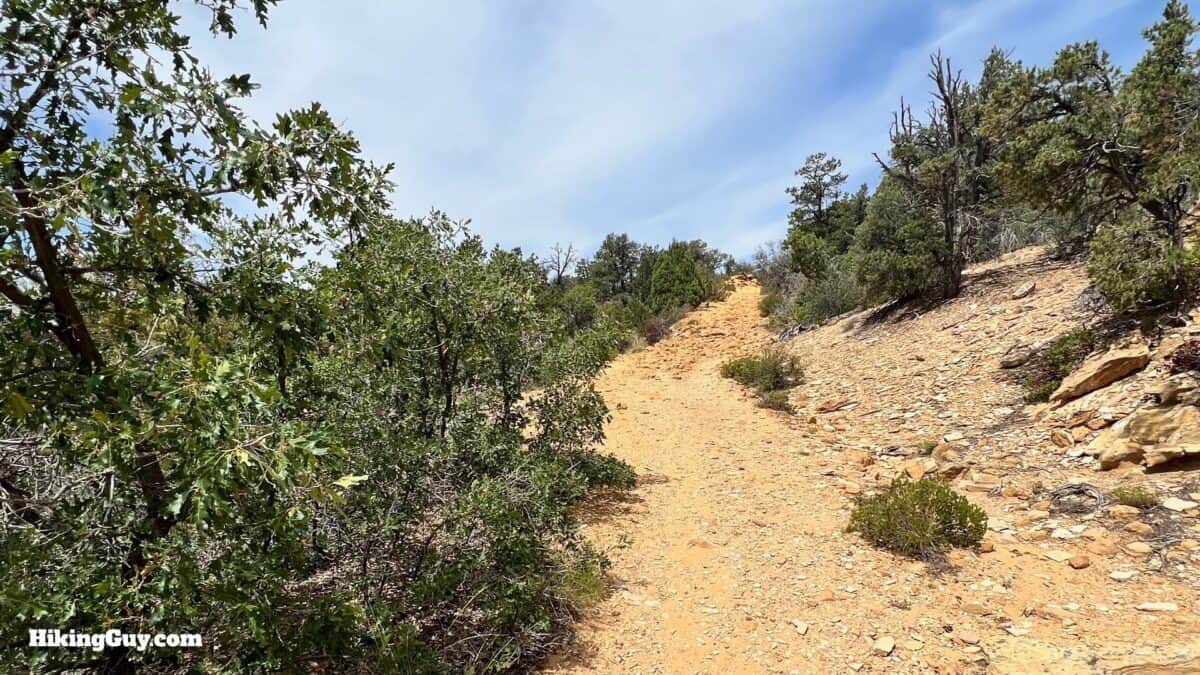
Jolley Gulch Hike Directions
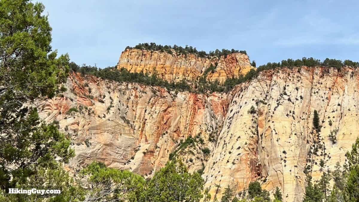
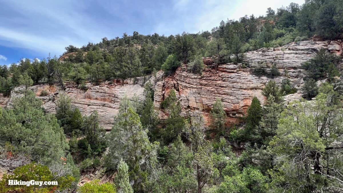
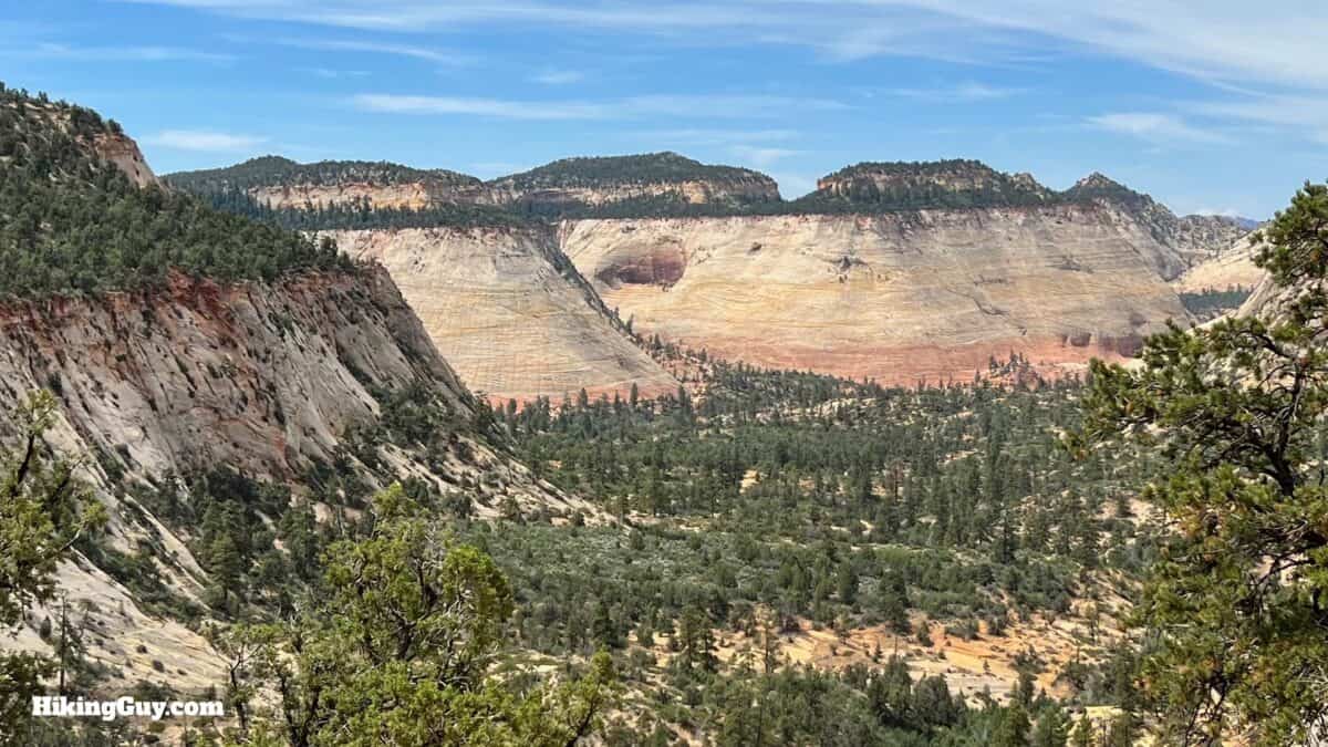
Why is it called Checkerboard Mesa? If you look closely (which you can from its roadside stop), you'll notice a checkerboard appearance. The horizontal lines are from the many layers of ancient sand dunes; the vertical lines are from cracking due to expansion and contraction during winter.
If you look at a map, this section of trail is also known as the Hayduke Trail. What's the Hayduke Trail? It's an 800 mile thru-hike, from Arches NP to the Grand Canyon to its end in Zion Canyon. It's named after a character in an Edward Abbey book, and if you don't know who Edward Abbey is, pick up one of his books and you'll be in for a treat.
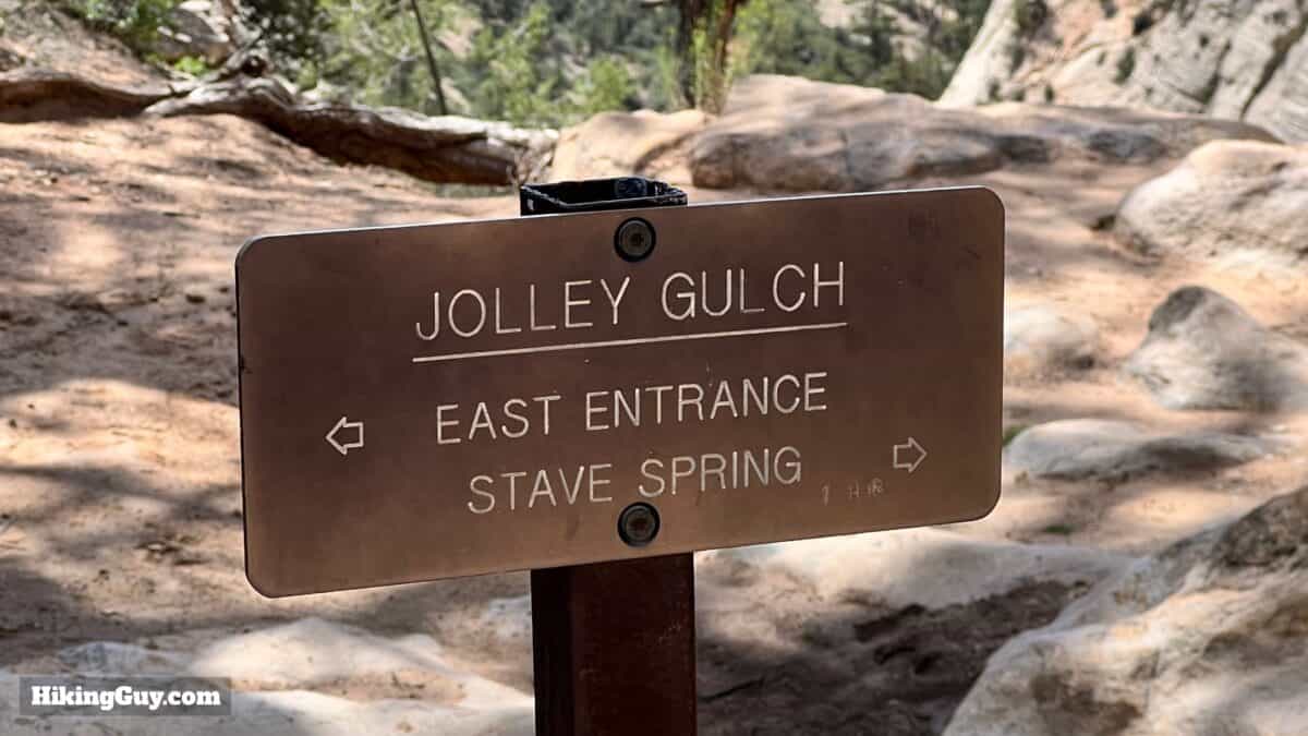
Who is Jolley (sometimes pronounced "jolly")? Well, he's an early settler and the main character in a local horror story. I'm not sure how much is true, but here goes. Jolley moved here with his wife and two girls in the early 1900s, before Zion became a National Park in 1919. When the family moved here in the spring, a stream flowed down into the gulch. As the year went on, the stream dried up and the family started to face death from dehydration. Jolley walked his wife and kids to the edge of the gulch and pushed them over the side. He then went back to the cabin, wrote down what he did, and then jumped off the side himself. Today the gulch is supposed to be haunted by Jolley.
That's the hike! From here, just go back the way you came.
Need More Info?
- Have a question about the guide? Join my Patreon and ask me a question.
- When planning, always check the park website and social media to make sure the trails are open. Similarly, check the weather and road conditions.
- Do you have an update to this guide? View the Youtube comments for this video. Leave a comment and I will do my best to update the guide.
Related Guides
 Watchman Trail (Zion) Hike Guide
 Hike Scout Lookout (Zion)
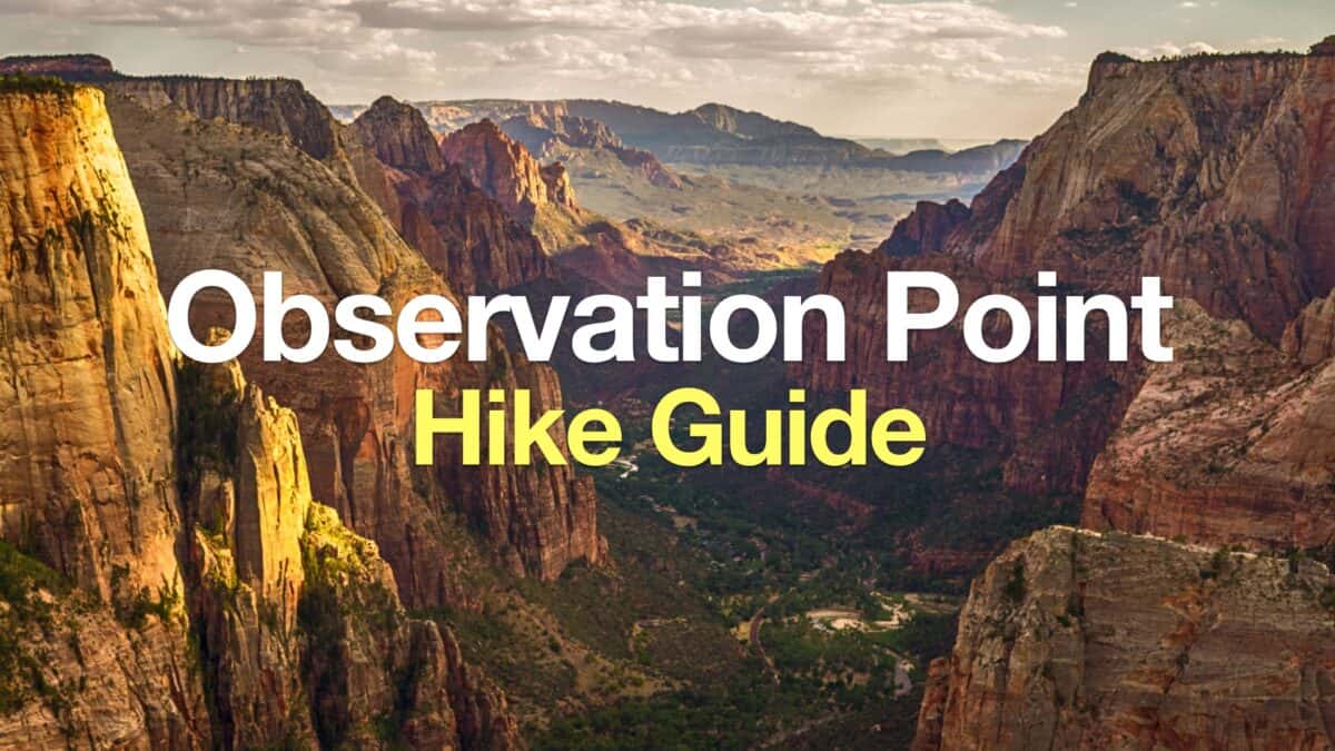 Observation Point Zion (East Mesa Trail)
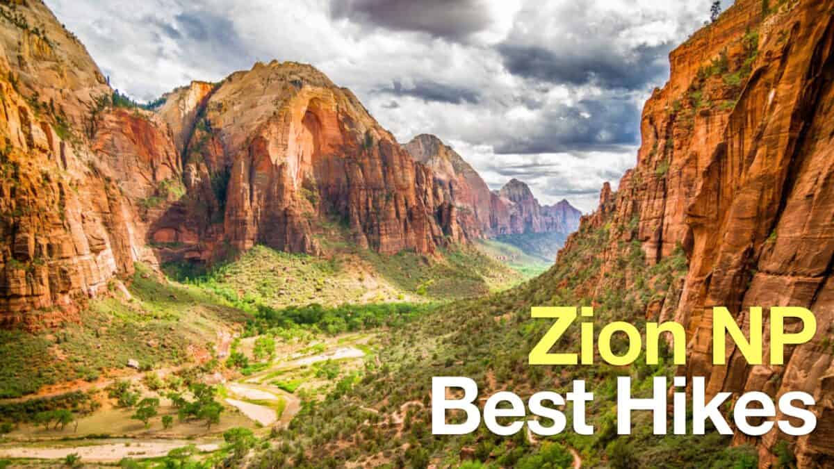 Zion National Park
Popular Guides
 Best Hiking Gear 2024
 Hiking Boots or Shoes: Do I Really Need Hiking Boots?
 When to Hit SOS on inReach
This Guide Was Written by Cris Hazzard

Hi, I'm Cris Hazzard, aka Hiking Guy, a professional outdoors guide, hiking expert, and author based in Southern California. I created this website to share all the great hikes I do with everyone else out there. This site is different because it gives detailed directions that even the beginning hiker can follow. I also share what hiking gear works and doesn't so you don't waste money. I don't do sponsored or promoted content; I share only the gear recommendations, hikes, and tips that I would with my family and friends. If you like the website and YouTube channel, please support these free guides (I couldn't do it without folks like you!). You can stay up to date with my new guides by following me on YouTube, Instagram, or by subscribing to my monthly newsletter.