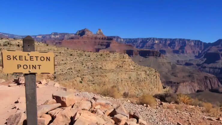

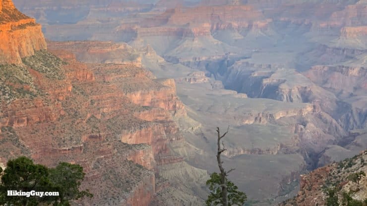
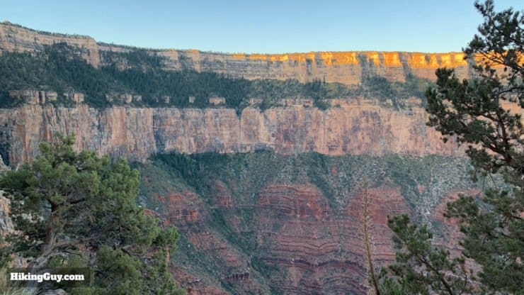
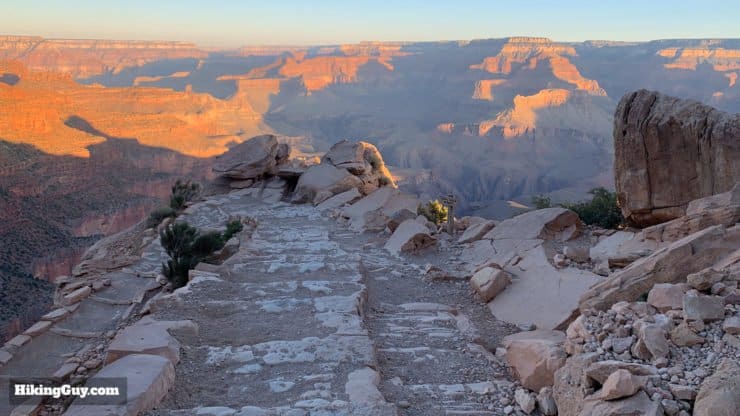
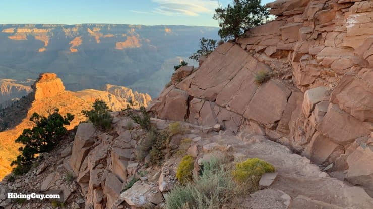
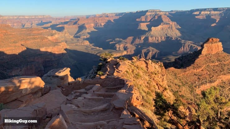
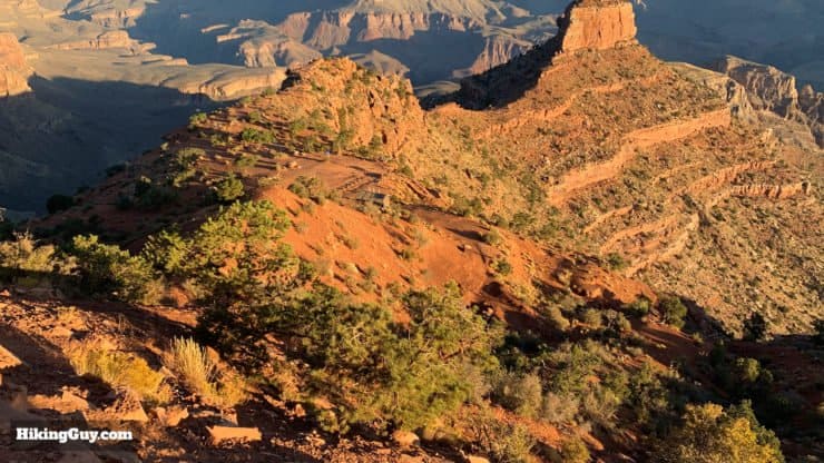
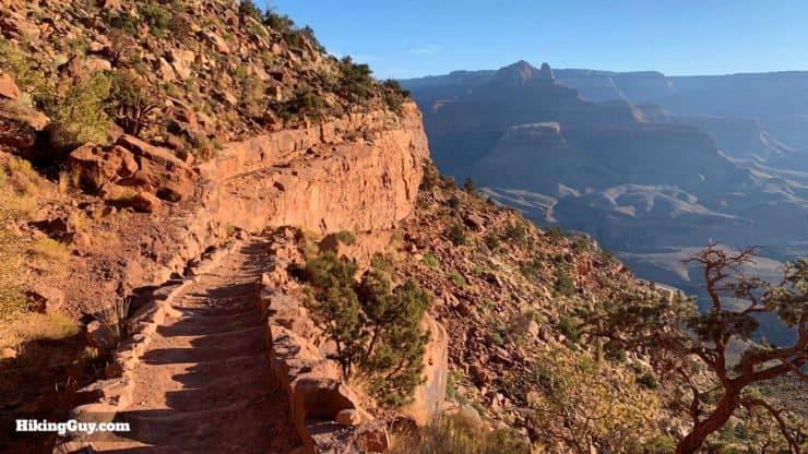
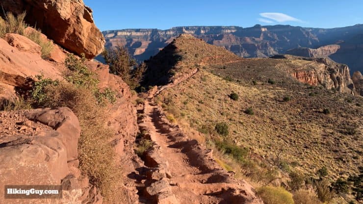
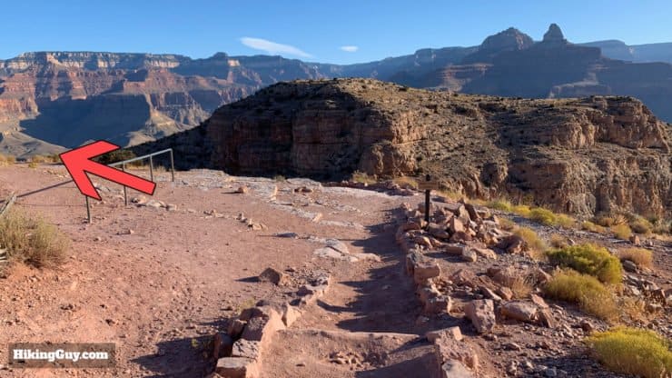
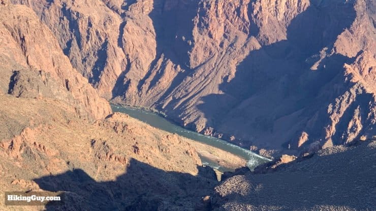
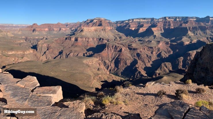
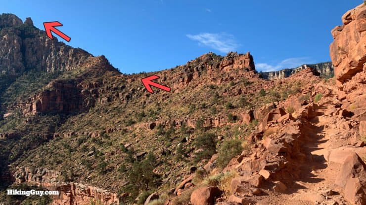
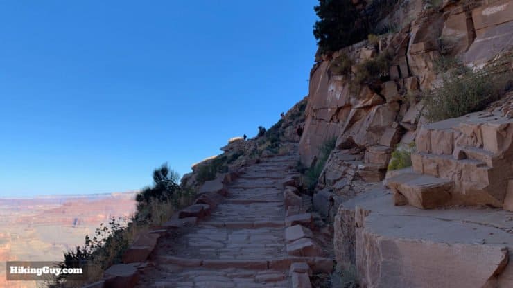
The hike on the South Kaibab Trail to Skeleton Point is one of the quintessential day hikes in the Grand Canyon South Rim. It offers incredible iconic views, a twisting (and well maintained) trail winding around and over natural features, and views of the Colorado River. This day hike, recommended by the Parks Service, is a must-do if you're looking to hike the South Rim.
- Turn-by-Turn Hike Directions & Video
- What to Expect on the Hike to Skeleton Point
- Tips on Weather, Parking, and Planning for the Hike
Don't forget to check out my Grand Canyon hiking tips here!
Where is the South Kaibab Trail?
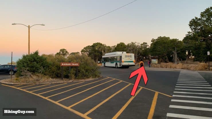
The South Kaibab Trail is located by Yaki Point on the South Rim of the Grand Canyon, about a 10 minute drive from the Grand Canyon Visitor's Center. But you can't park at the trailhead, which is closed to private vehicles.
Shuttle Bus to South Kaibab Trail

- Take the Orange Shuttle Bus from several parking lots around Grand Canyon Village like the Visitor's Center, which has a lot of parking. The bus runs frequently and isn't so bad, but it can get busy at times.
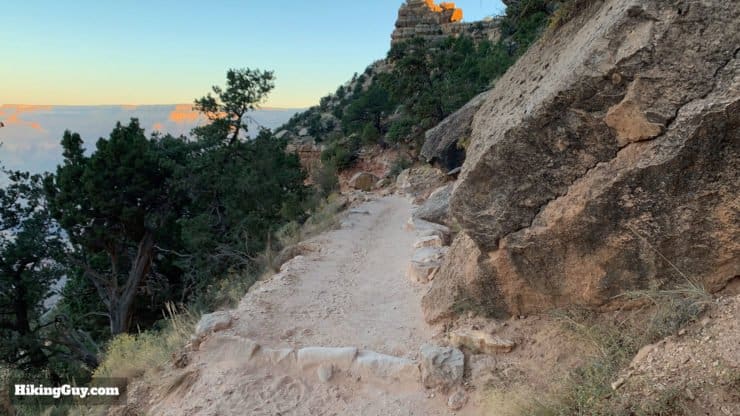
- Take the Hiker's Express Shuttle Bus which is geared toward hikers leaving early to do hikes like Rim to Rim, but can be used by anyone. Doing the hike early in the morning at sunrise will give you the most pleasant experience, namely sunrise colors, cooler temperatures, and fewer crowds.
You can also take a taxi to the trailhead. Call Xanterra Taxi Service (24 hours) 928-638-2631
Where Can I Park for the South Kaibab Trail?
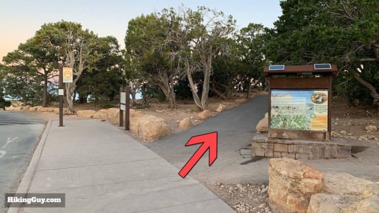
If you don't want to take the shuttle bus, you can park a short walk away from the trailhead. Parking in these areas is legal, but you have to walk about 15-20 minutes on an easy path or roadside to get to the South Kaibab.
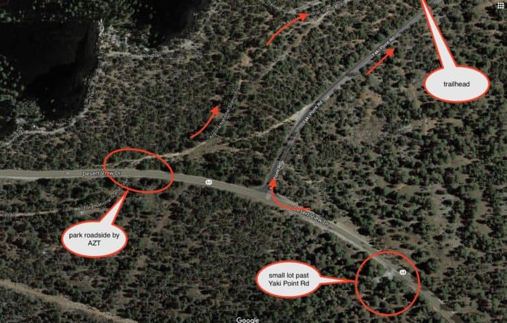
- Park on the (wide) roadside around the area where the Arizona Trail (AZT) intersects Rt 64/Desert View Drive. From there, you walk up the AZT to the Rim Trail and then a short distance to the trailhead. There are a lot of small use trails between the parking area and Rim Trail. Don't worry, they all head to the Rim Trail or road to the trailhead.
- There's a lot just east of Yaki Point Rd. You can park here and then walk on the side of the road to the trailhead. There's no private traffic on Yaki Point Rd, so it's not as crazy as walking along Rt 64.
Gear for the Hike
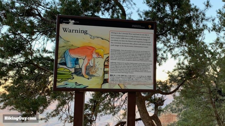
Even though the South Kaibab to Skeleton Point is only 6 miles, it's a "hike hike," and I recommend having proper hiking gear when doing it. That means trail runners or hiking boots, trekking poles, and at least 1 liter of water, preferably 3L. Taking some snacks will help keep your energy up for the trip back. If it's hot out, try some energy gels which are easier to get down in high temperatures.
There is no water along the trail; you have to bring all of your water with you.
The weather in the Grand Canyon can be extreme. In the winter, bitter cold, ice, and snow is not uncommon. So pay close attention to the weather for Grand Canyon Village. If there is snow, the South Kaibab Trail can be covered. In those conditions micro-spikes and trekking poles are a must. There can be ice on the upper parts of the trail.
And of course, in the summer, it gets hot. There's not much shade on the hike, so protect yourself from the sun. The temperature rises about 5.5F for every 1,000 feet that you descend. So you can expect Skeleton Point to be about 11F warmer than the trailhead at the South Rim. In the hot months of summer, this hike is not a good idea during midday.
Gear That I Love Right Now
Nothing is sponsored or promoted, just the actual gear that I use.


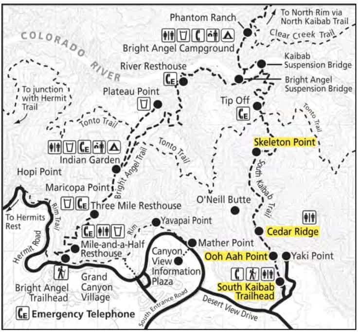
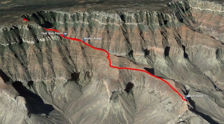
South Kaibab Trail to Skeleton Point Trail Maps
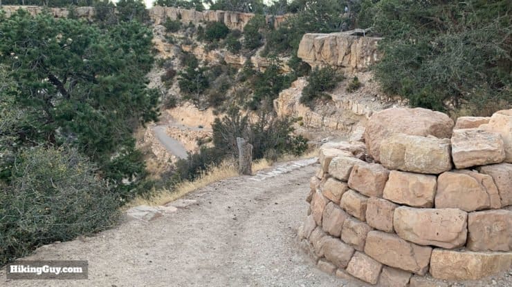
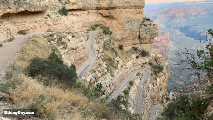
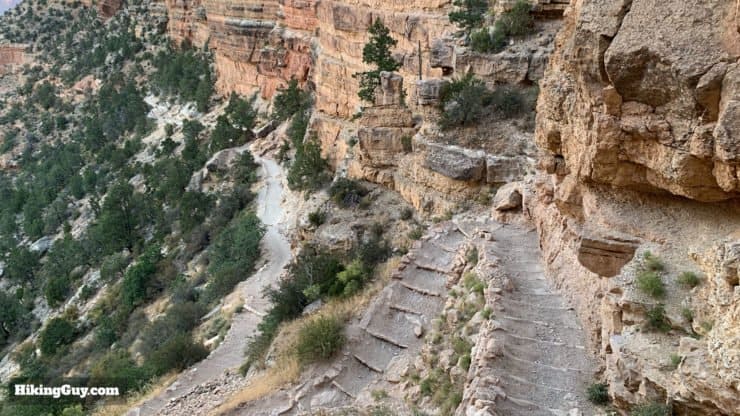
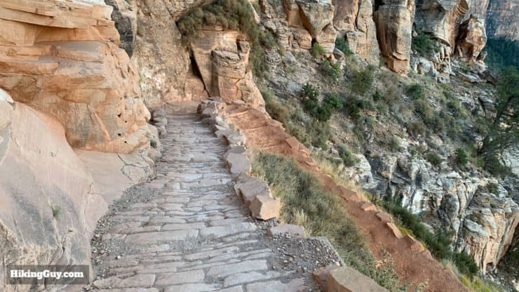
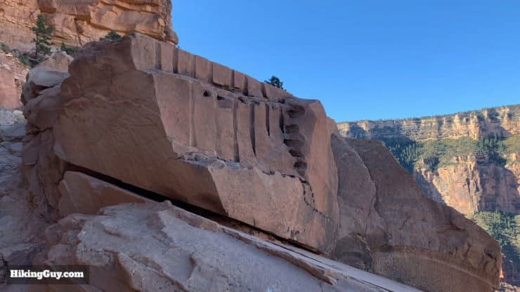
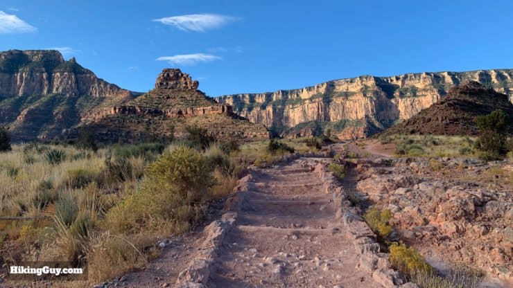
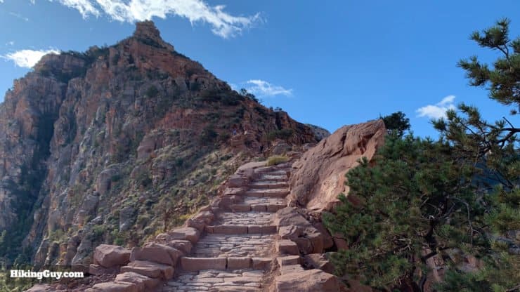
The South Kaibab Trail is what the Parks Service calls a corridor trail. The corridor trails are heavily used and actively maintained. The South Kaibab Trail is the second most popular trail after the Bright Angel. It's built with a standard gradient (overall) of 10% and has a standard width of 4 feet wide. What that means in practical terms is that, while it's a tough trail, it's never too steep and never so narrow that you're walking on a precipice.
Overview Map
Interactive Map
How Will You Navigate?
 Using the Apple Watch for Hiking
 Garmin Fenix 7 & Epix Review For Hikers
 How To Read a Topographic Map
 Garmin GPSMAP 67i Review
Hike Landmarks
| Landmark | Distance | Elevation | Toilets |
|---|---|---|---|
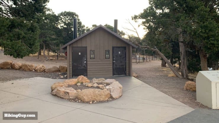
| Trailhead | 0 | 7460 | yes |
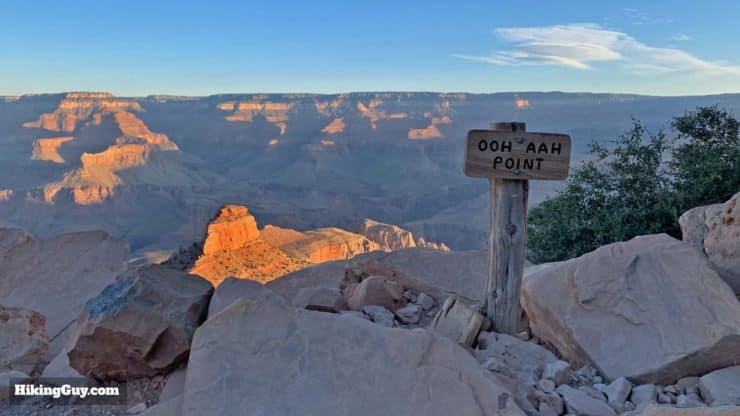
| Ooh Ahh Point | 0.9 | 6660 | no |
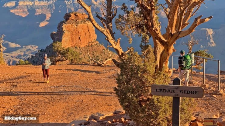
| Cedar Ridge | 1.5 | 6120 | yes |
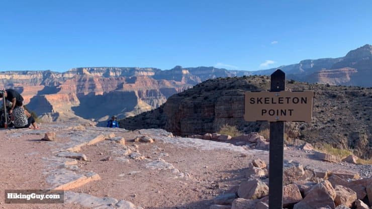
| Skeleton Point | 3 | 5200 | no |
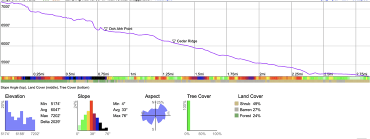
Elevation Profile
3D Map
Mules on the South Kaibab Trail
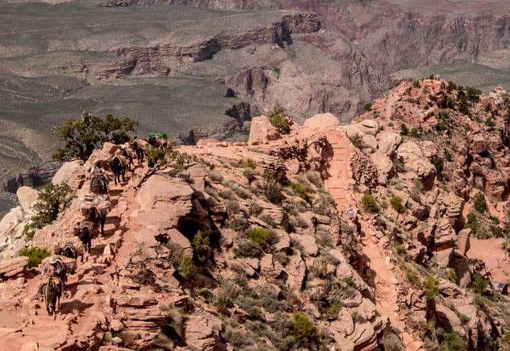
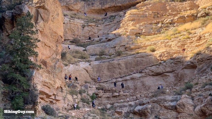
Okay, so there's good news and bad news about mules on the South Kaibab Trail. The bad news is that you might have to deal with them, the good news is that there are nowhere near as many mules here as there are on the Bright Angel Trail. The mules on the South Kaibab only supply (and haul out the trash) for Phantom Ranch; there are no tourist rides here. The mules leave at variable times, usually around mid-morning. A train leaves from Phantom Ranch around the same time. When I do the hike to Skeleton Point at sunrise, I've never had to pass mules in either direction.
If you are passing mules head-on, stand to the side of the trail and follow the mule handler's instructions. It can be scary to pass mules on a narrow trail, but they do it all the time, so don't sweat it. If you need to overtake the mules, it's a bit tougher. You'll be stuck behind them dodging poop until the handler lets you pass.
Mules aren't aggressive, but they can bite. Keep your hands to yourself. Don't try to pet or feed the mules.
South Kaibab Trail FAQ
- Do I need a permit for the hike? You don't need any permit to hike the South Kaibab Trail as a day hike.
- Can I camp on the trail? You can't camp along the South Kaibab Trail. The only camping option is at Bright Angel Campground at the very bottom of the trail, by the Colorado River.
- Is the South Kaibab Trail dangerous? The trail isn't especially dangerous and is at least 4 feet wide for its entire length. If you are no prepared or don't plan your hike correctly it can be dangerous. Heat exhaustion is the most common danger on the trail, so make sure you prepare accordingly. There are no animals that will attack you, and mules won't kick you off the trail. People have fallen and died when they lost their footing allowing other hikers to pass. More people die on the rim taking selfies (really).
- Can I explore off of the trail? No, please stay on the trail and respect the fragile environment. Do not take any bones or organic material that you may find. Do not approach any wildlife you see.
A Quick South Kaibab Trail Brief
- The South Kaibab Trail is the first trail from the rim to the river that was built by the Parks Service. When the Grand Canyon became a National Park in 1919, the popular trails like the Bright Angel were privately owned and charged a toll. The Parks Service tried to purchase the Bright Angel, but it was cheaper just to build another trail, so they built the South Kaibab.
- Since the South Kaibab Trail wasn't built by miners who depended on water sources, there is no water along the trail. It was built by engineers to create a smooth and direct route down to the river. It has been described as "a trail in a hurry to get to the river."
- The trail, originally known as the Yaki Trail, opened in 1925 at the cost of $73,000 (about $1 million in today's money).
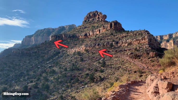
- The trail was named after the nearby Kaibab National Forest. The trail also goes through Kaibab Limestone layer of rock found at the top of the trail.
- The South Kaibab Trail is part of the Arizona Trail (AZT), which stretches about 800 miles from Mexico to Utah. The AZT is considered one of the best thru-hikes in the USA, and this stretch is one of the highlights of the trail. The trail is also frequently used on Rim to Rim hikes.
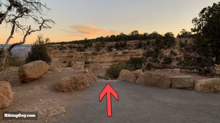
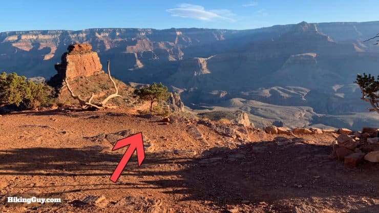
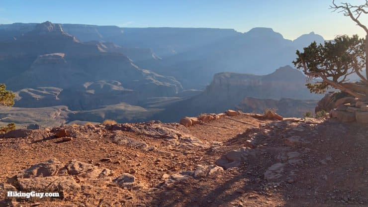
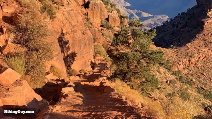
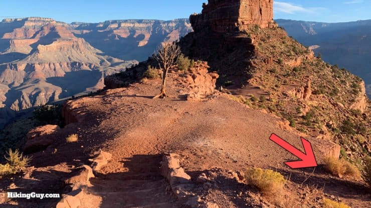
How To Hike the South Kaibab Trail to Skeleton Point

Need More Info?
- Have a question about the guide or want to see what other people are saying/asking? View the Youtube comments for this video. Leave a comment and I will do my best to respond.
- When planning, always check the park website and social media to make sure the trails are open. Similarly, check the weather and road conditions.
Related Guides
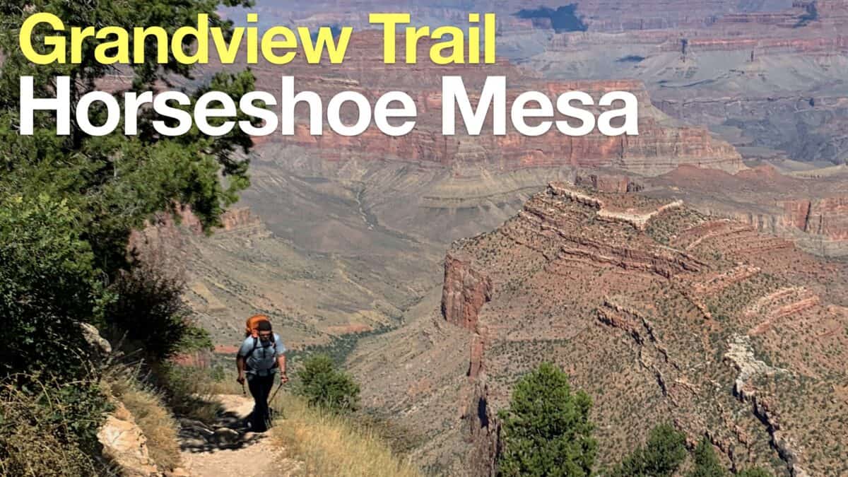 Grandview Trail To Horseshoe Mesa Hike
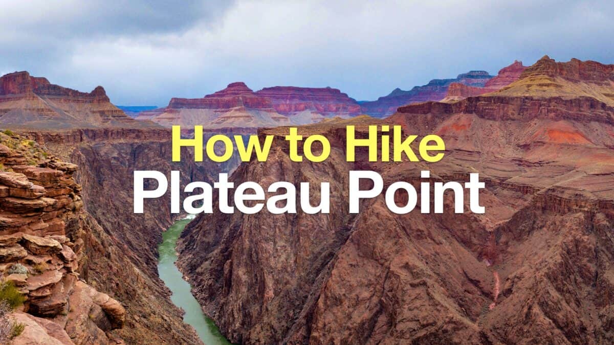 Bright Angel Trail to Plateau Point Hike
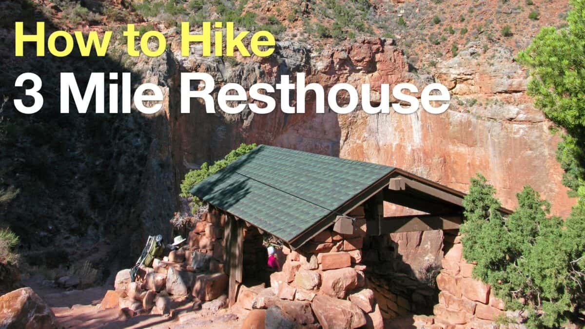 Hike 3 Mile Resthouse on the Bright Angel Trail
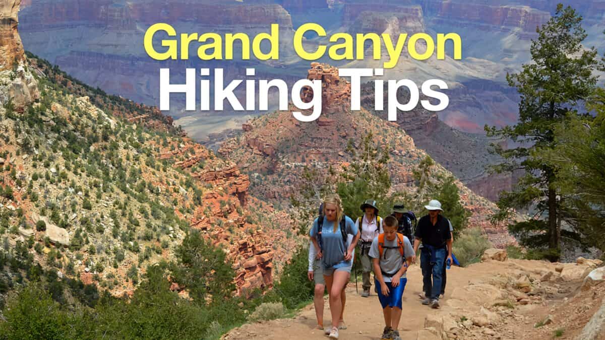 Grand Canyon Hiking Tips
 Grand Canyon Hikes
Popular Guides
 Best Hiking Gear 2024
 Hiking Boots or Shoes: Do I Really Need Hiking Boots?
 When to Hit SOS on inReach
This Guide Was Written by Cris Hazzard

Hi, I'm Cris Hazzard, aka Hiking Guy, a professional outdoors guide, hiking expert, and author based in Southern California. I created this website to share all the great hikes I do with everyone else out there. This site is different because it gives detailed directions that even the beginning hiker can follow. I also share what hiking gear works and doesn't so you don't waste money. I don't do sponsored or promoted content; I share only the gear recommendations, hikes, and tips that I would with my family and friends. If you like the website and YouTube channel, please support these free guides (I couldn't do it without folks like you!). You can stay up to date with my new guides by following me on YouTube, Instagram, or by subscribing to my monthly newsletter.