Saddleback Mountain Hike (Santiago Peak)
Hike Stats
- Total Distance
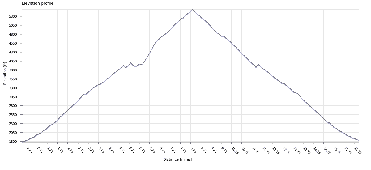
- 15.8 miles
- Time
- 7-10 hours
- Total Climbing
- 4200 feet
- Difficulty
- Hard
- Crowds
- Quiet
- Dogs
- Leashed
- Gear
- What I Use
- Weather
- Latest Report
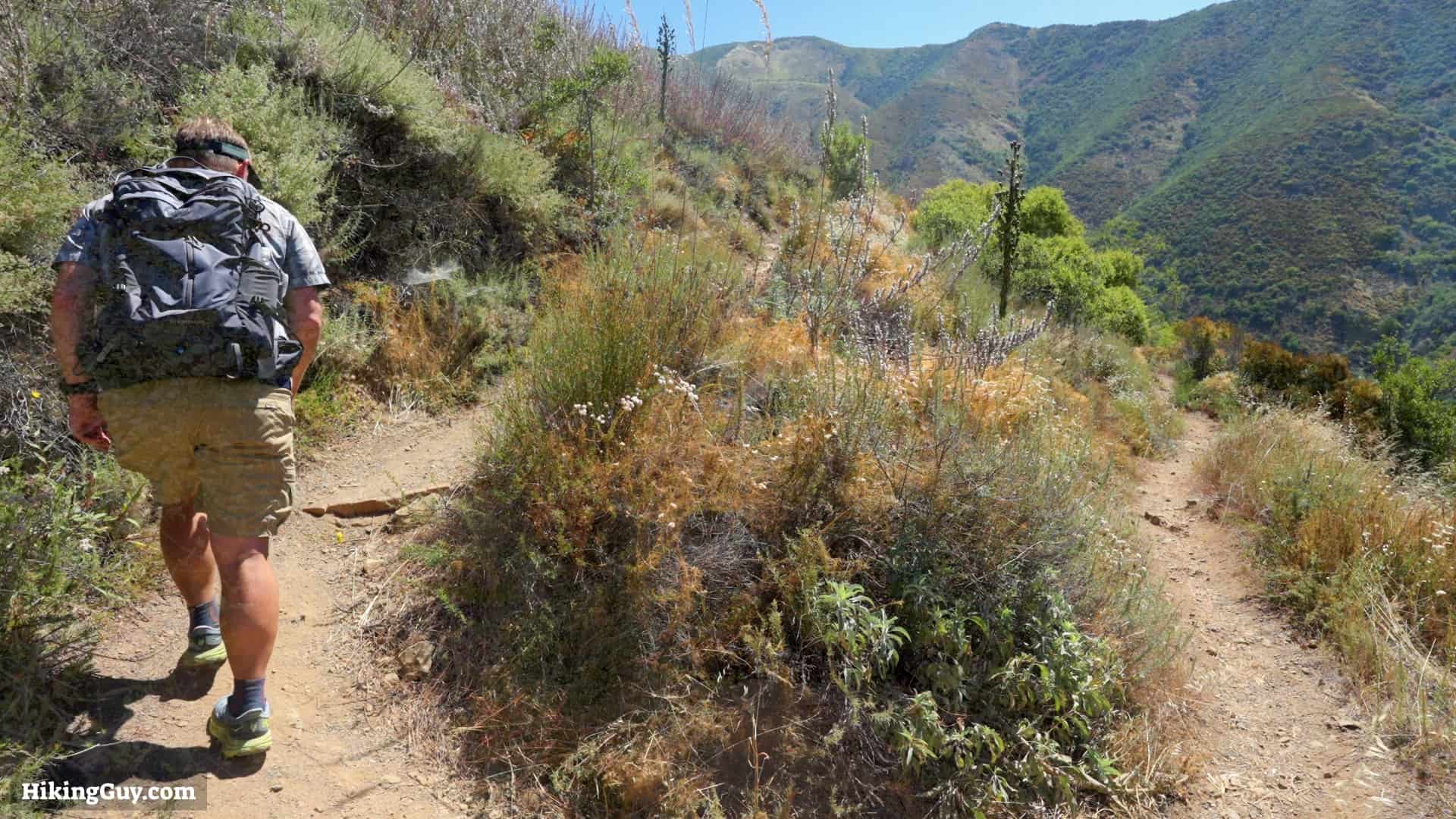
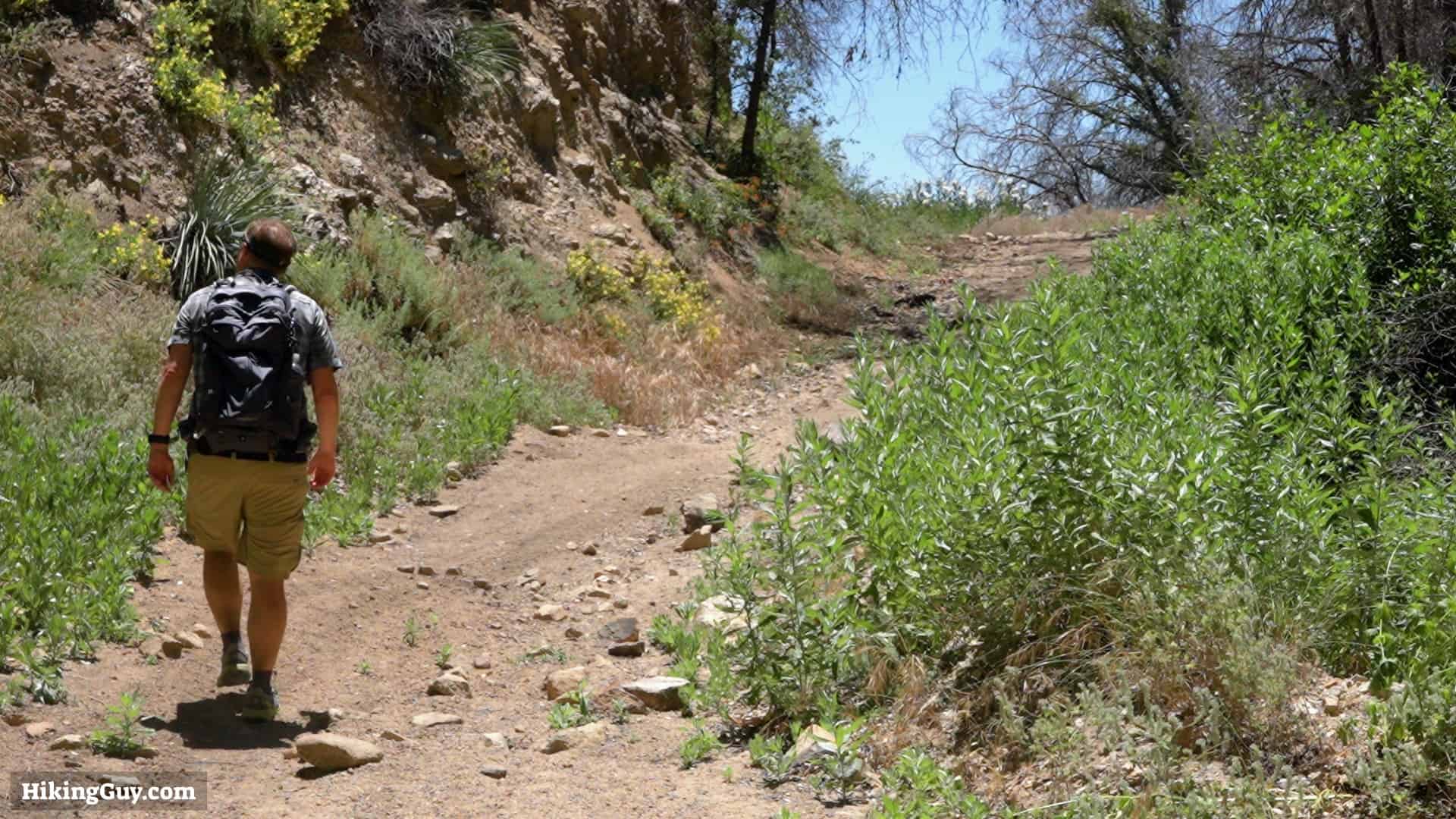
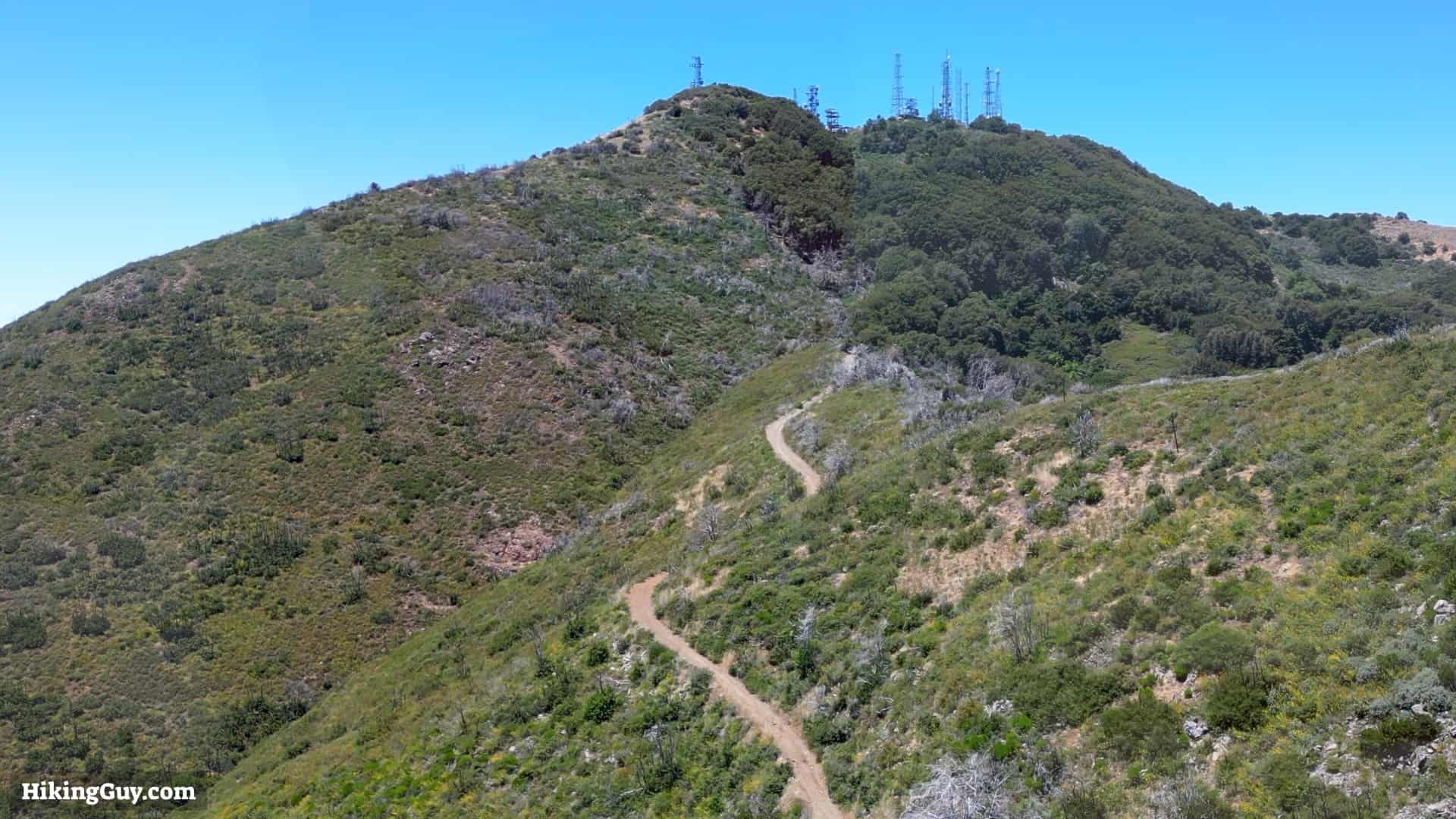
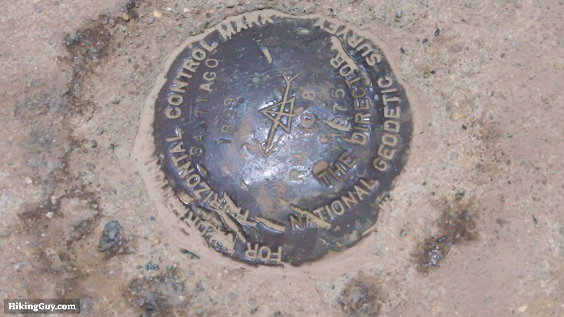
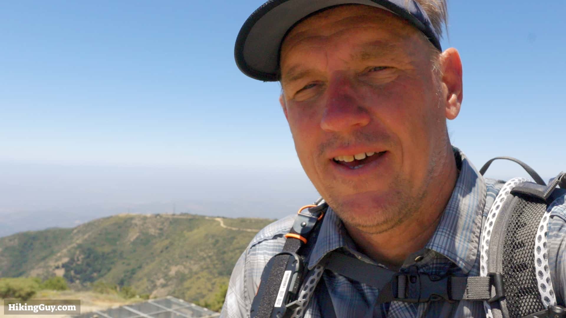
Hiking Saddleback Mountain takes you to the highest point in Orange County, Santiago Peak. It's also the highest point in the Santa Ana mountains at 5,689 feet. This hike takes the scenic Holy Jim Trail, the shortest route to the summit. Still, this is a long and challenging hike. Don't try this hike without a good level of fitness.
How to Get to the Saddleback Mountain Hike

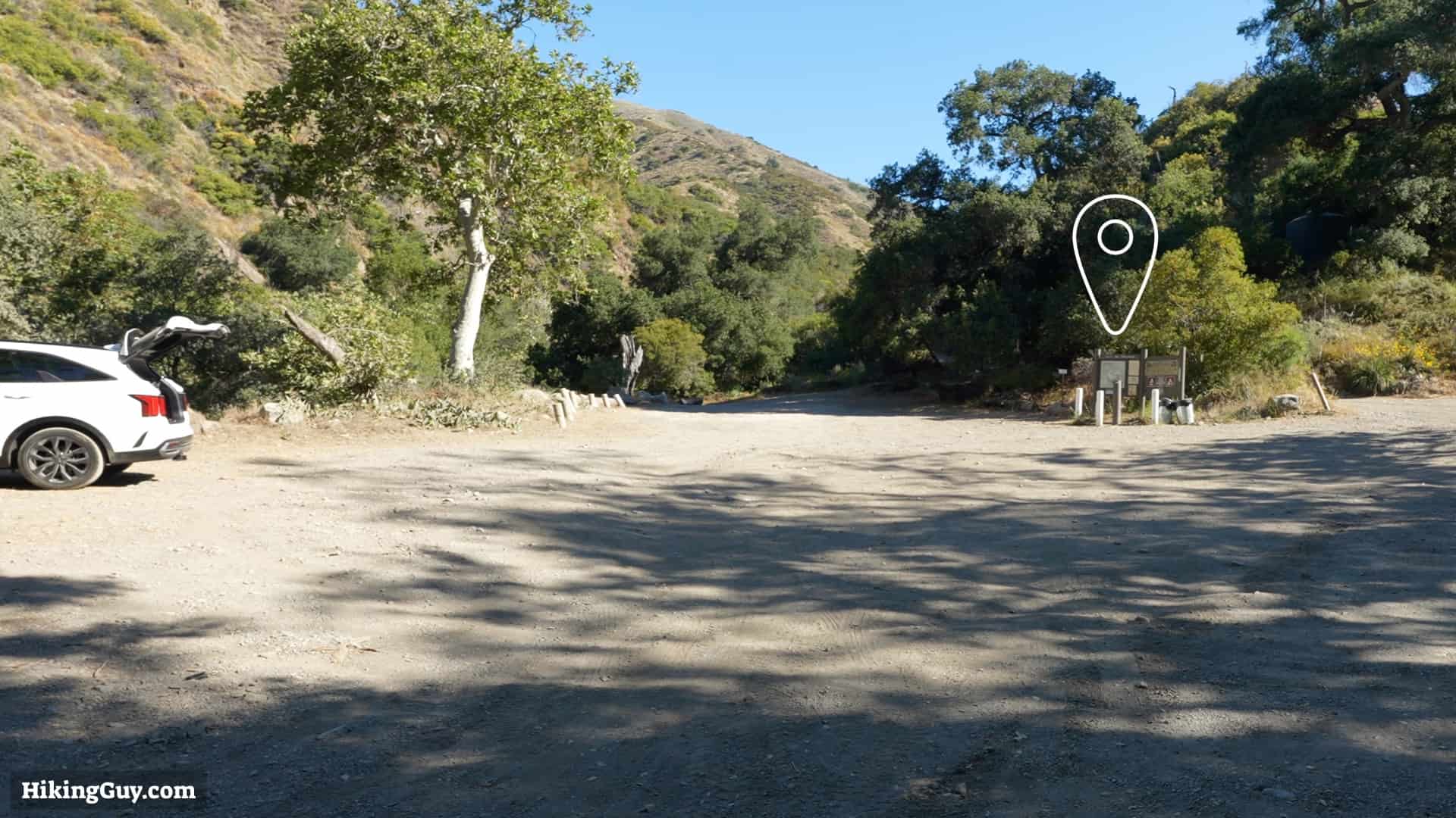
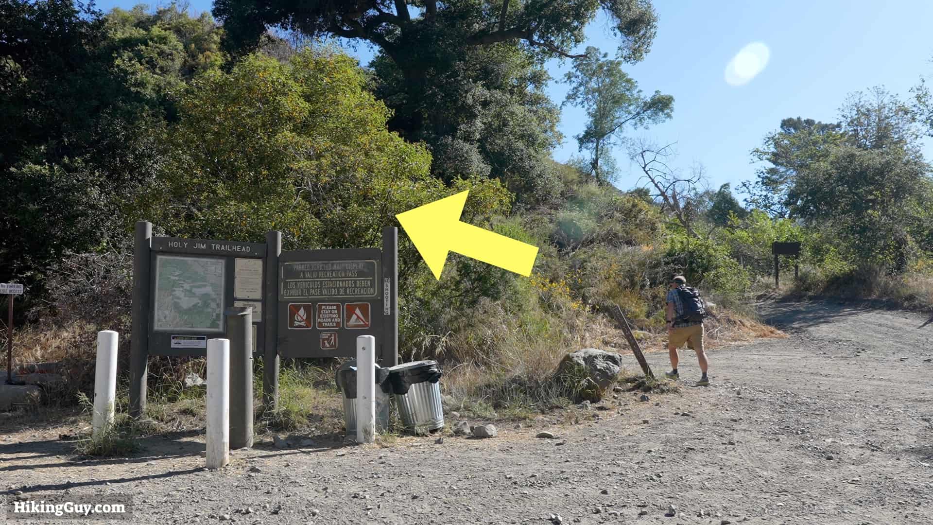
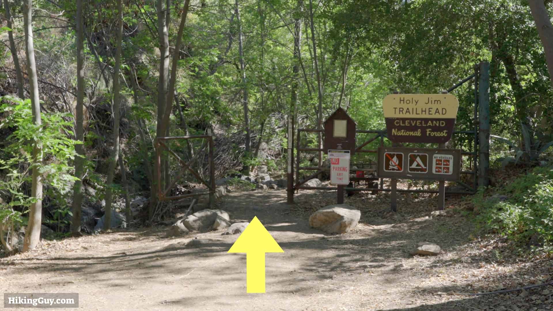
Use this address to get to the trailhead: Holy Jim Trailhead, Holy Jim Canyon Rd, Corona, CA 92883
You need a parking pass for the Cleveland National Forest. I use the affordable National Parks Pass, which gets me in every national park, national monument, and national forest. You can also use an (Southern California only) Adventure Pass, or buy a $5 day permit from the ranger's office.
Gear for the Hike
Santiago Peak is a proper backcountry hike, and you should be prepared with emergency gear and, ideally, a satellite SOS device. Trekking poles are helpful on the slopes. When it's warmer out, the temperatures can soar here in Cleveland National Forest, so ideally, pick a time in the winter to do the hike. I find 3L of water is enough, but when it's hot out, you'll want to cache more on the way up. Insect repellant helps keep the bugs away. There is usually a decent amount here when it's warmer out. The upper parts of the hike rarely get snow, but it can happen.
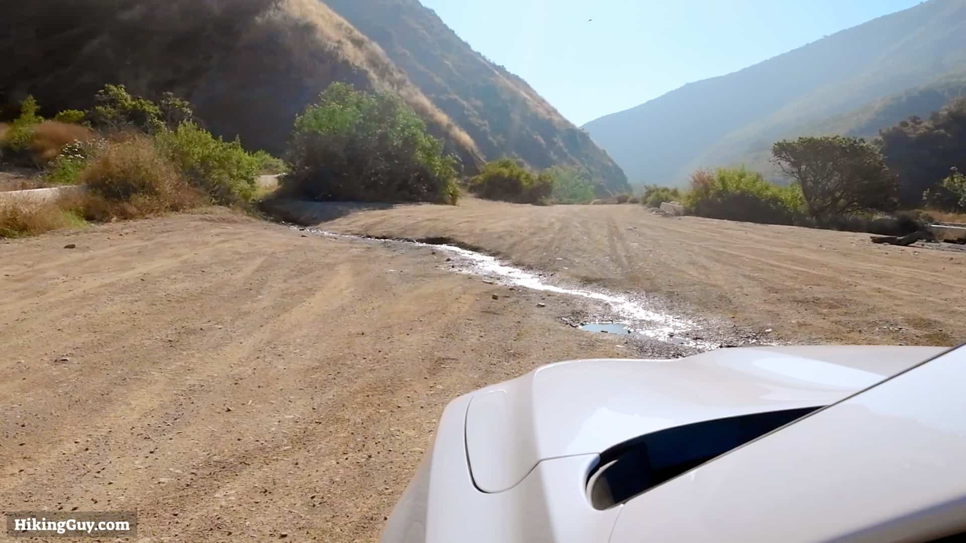
There is an unreliable water source at the end of the Lower Holy Jim Trail at Bear Springs. Expect some water in the spring and early summer, but otherwise, it's usually dry.
Essentials I’m Using Now
- Garmin inReach Mini 2: Reliable SOS Everywhere on Earth
- Sawyer + CNOC Water Filter: Easy & Reliable Safe Water
- Nitecore NU25 Headlamp: Running late? Get home safe
- AllTrails Plus (30% off): Good All-Around Hiking App
- Full October 2025 Gear List →
Saddleback Mountain Trail Maps
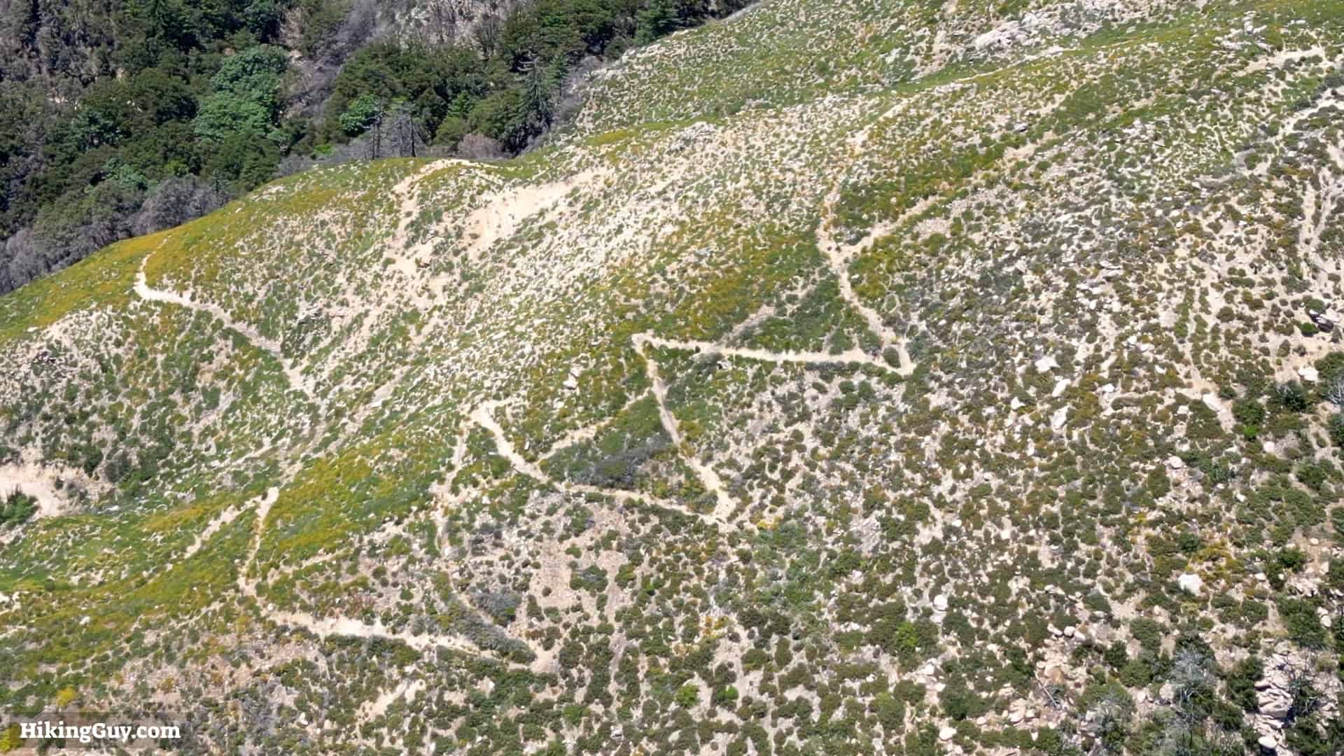
There are mountain bikers on all these trails, so keep your eye out and give them the right of way, especially on the narrow sections of the Holy Jim Trail.
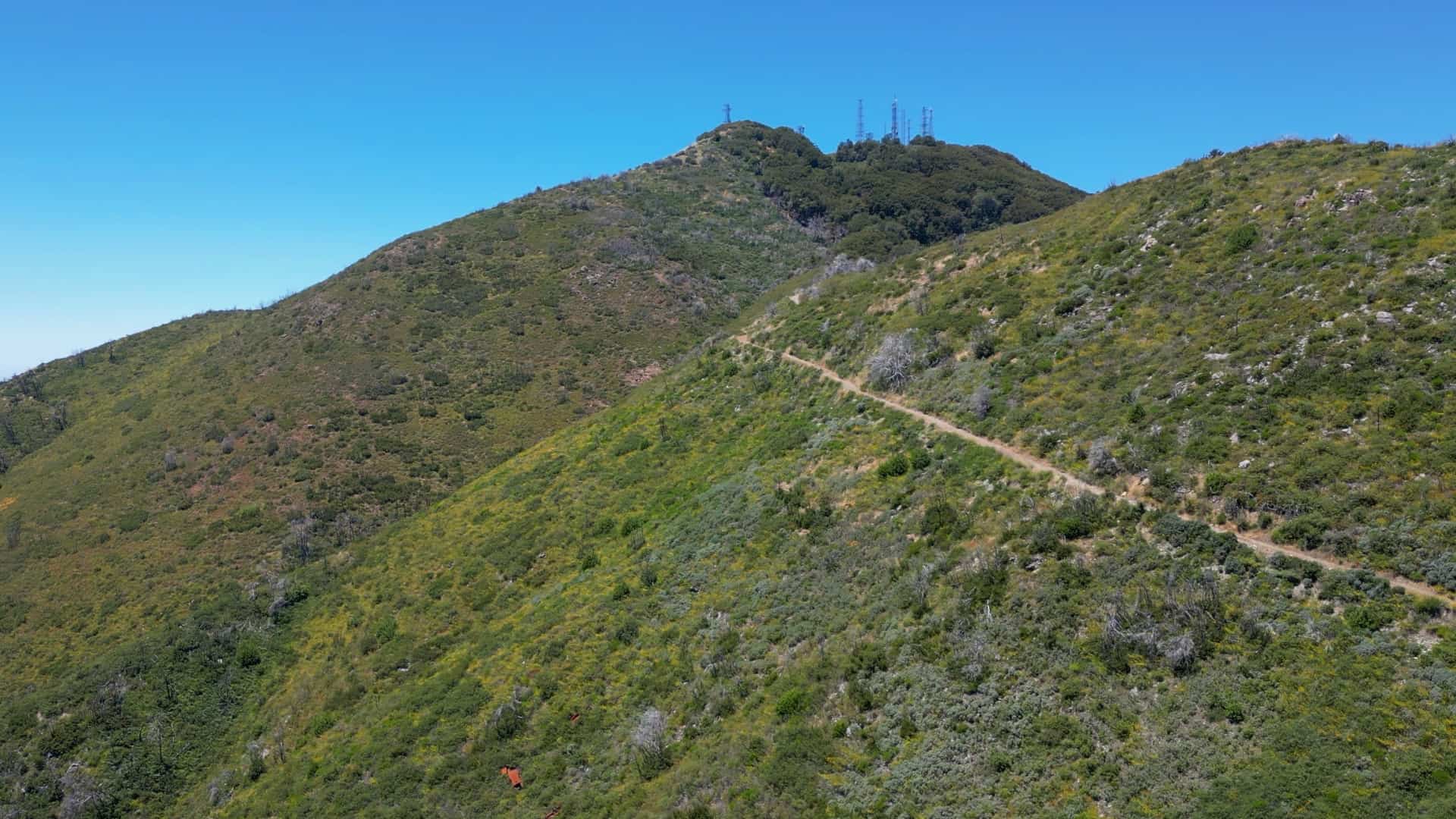
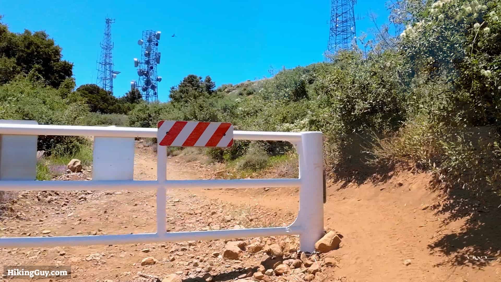
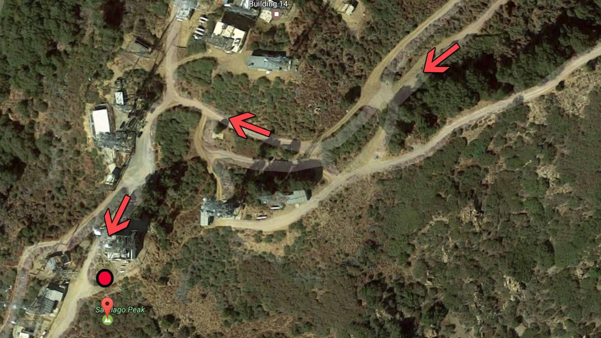
Saddleback Mountain is actually two peaks, Santiago Peak and the lower Modjeska Peak. Saddleback Mountain can be seen from most of Orange County and dominates the skyline. It's called Saddleback Mountain because the two peaks look like a saddle from most of Orange County. This hike goes to the higher Santiago Peak, but you can also hike to the lower Modjeska Peak.
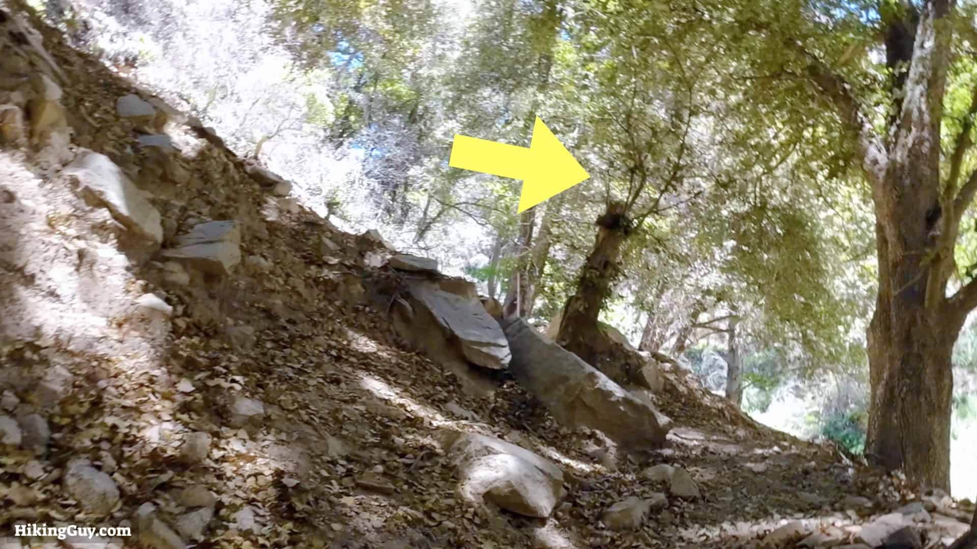
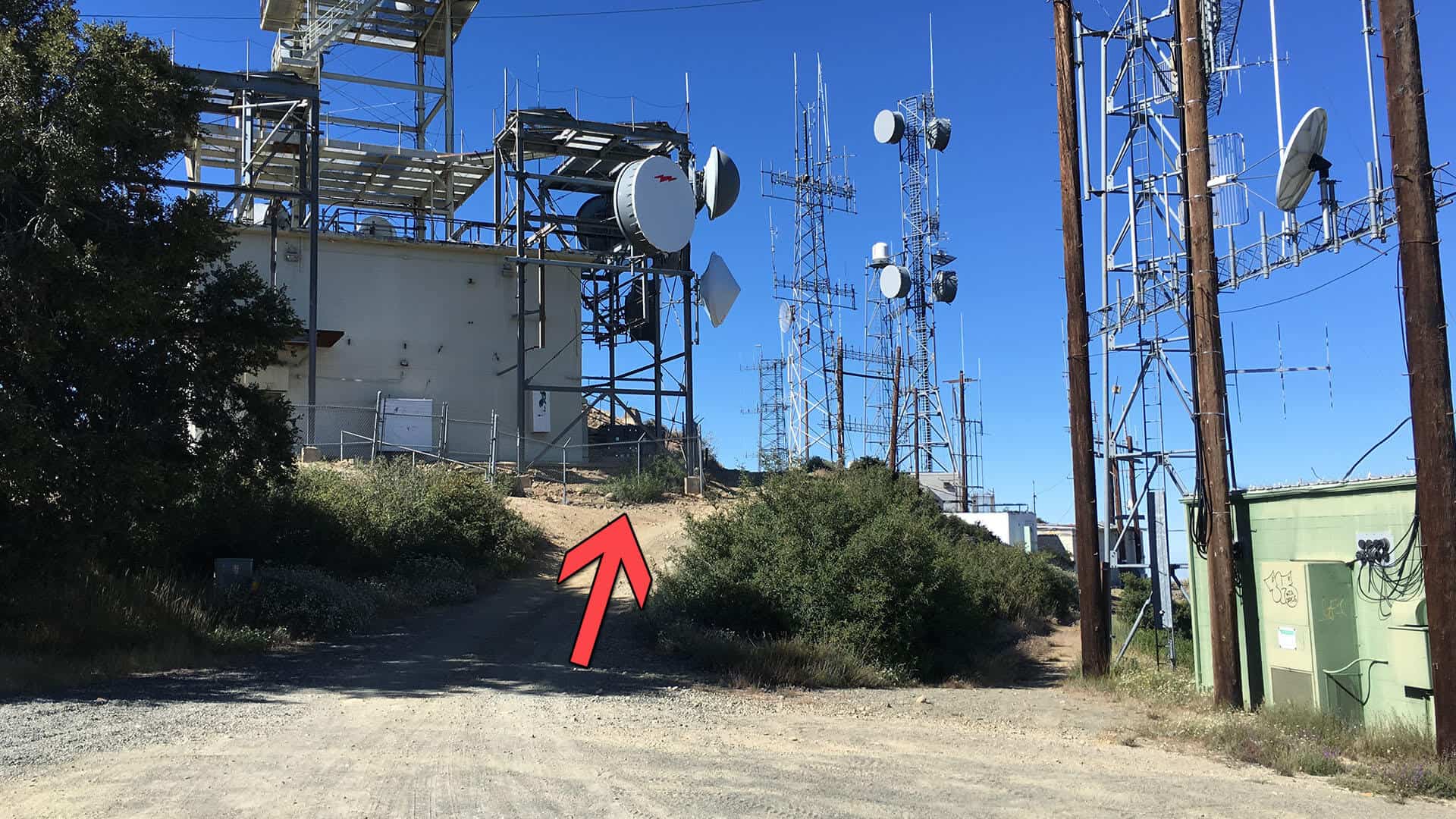
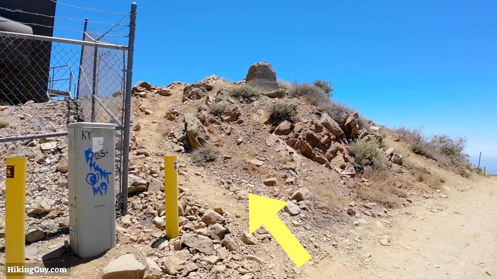
Saddleback Mountain Hike Directions
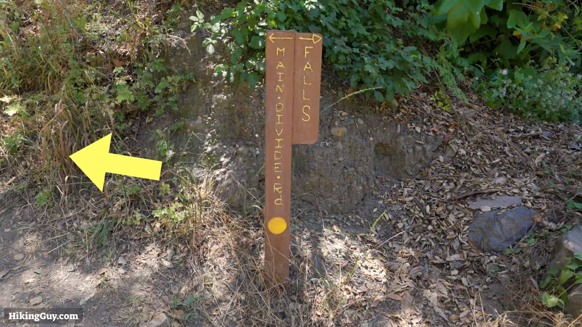

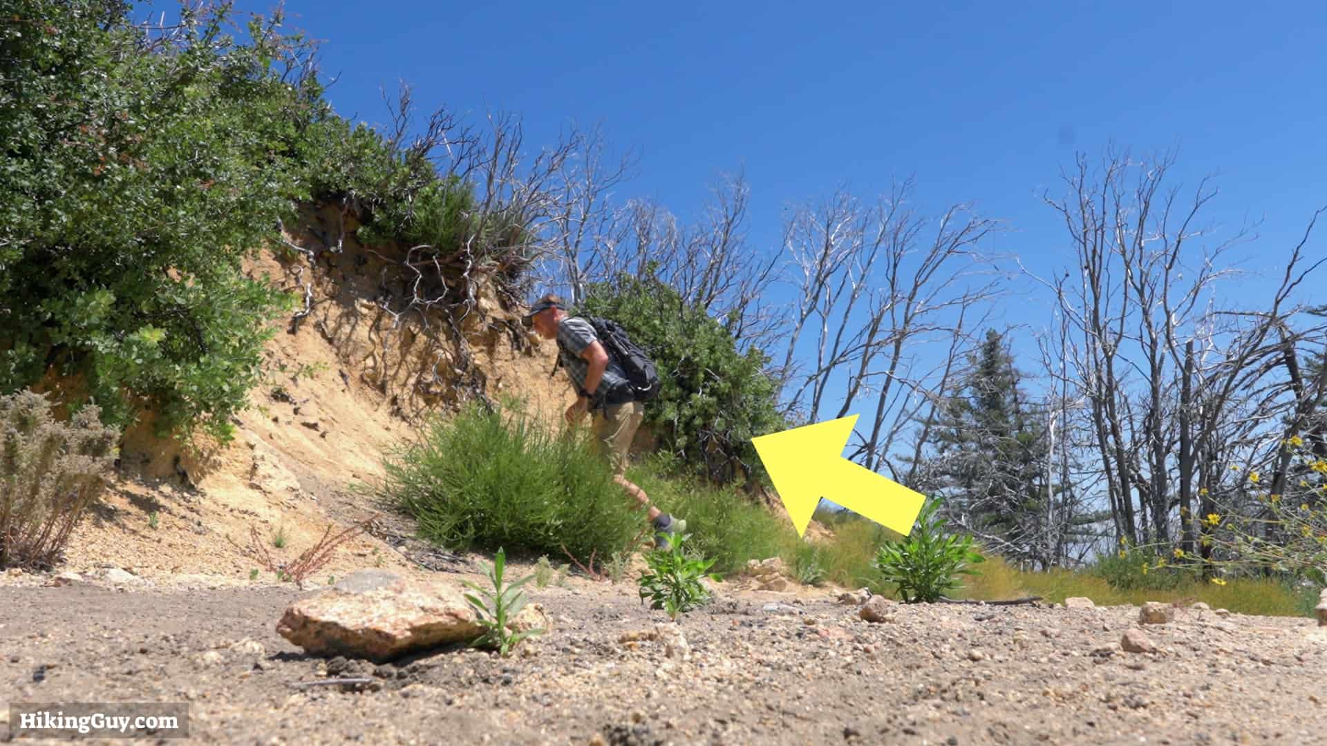
For an easier descent, skip the Upper Holy Jim Trail and just continue down Main Divide Road until you reach the intersection of Lower Holy Jim Trail.
Originally published July 29, 2023