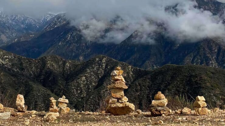

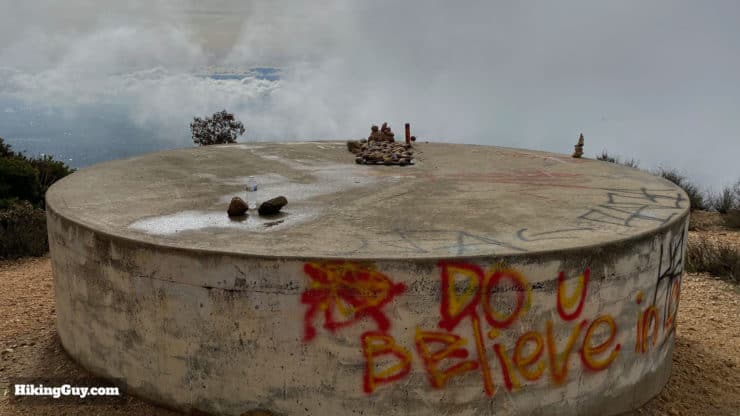
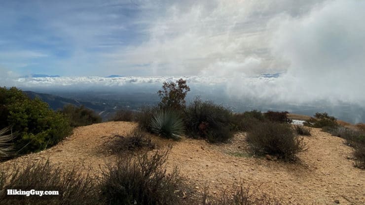
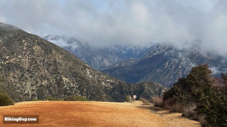
For a quick mountain fix without driving into the mountains, try the Potato Mountain hike, right at the beginning of Angeles National Forest. It's a moderate climb through some beautiful oak forests. The hike ends at the Potato Mountain summit, which offers views of the high peaks in Angeles NF, including Mt Baldy. And of course, there are the potatoes that everyone decorates and brings to the summit. It's a fun hike that especially great for beginners who want to train or get a taste for the bigger mountain peaks.
- Turn by Turn Directions and Video for Potato Mountain
- Directions to the Potato Mountain Trailhead
- Everything You Need To Know To Do the Hike
How Do I Get to Potato Mountain?
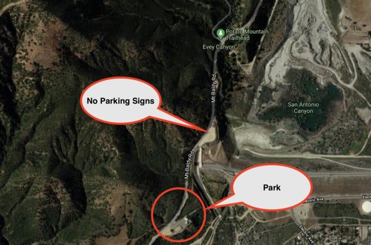
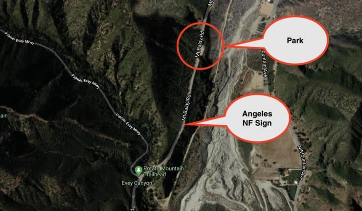
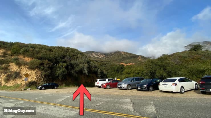
The trailhead for Potato Mountain is unmarked along the side of Mt Baldy Road. It's about 0.7 miles after you pass the last housing development on Mt Baldy Road. After the housing development, about 0.5 miles up the road, you'll pass a huge dirt area on your right. Shortly after that (0.2 miles) you'll see another area with parking on either side of the road, which is the trailhead.
The City of Claremont has not been too kind when it comes to parking for hikers. There are a few big parking lots close to the trailhead, and they've put "No Parking" or "No Stopping" signs in them because of excessive vandalism and thefts in parked cars. So what you have to do is park a few minutes up or down the road and walk to the trailhead, which can be dangerous, so be careful.
Use this address:
Potato Mountain Trailhead, Claremont, CA 91711
Don't park in front of the trailhead. People are getting ticketed there.
There are no bathrooms anywhere on the hike.
Gear for the Hike
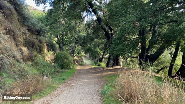
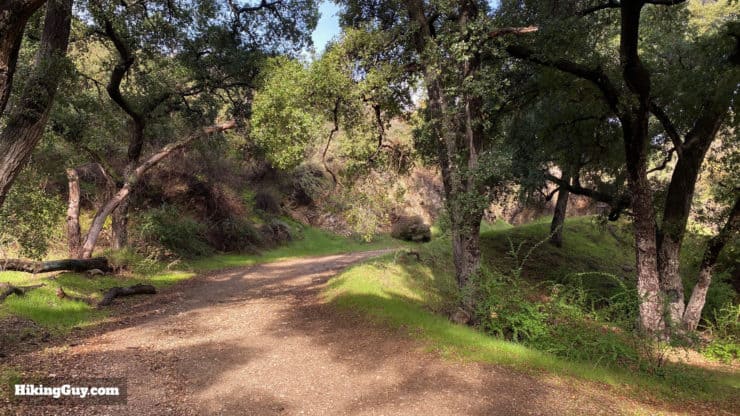
The trail is wide (a fire road) and easy to follow. Light hiking gear is ideal, but you can get away with fitness clothes too. Trekking poles will be helpful on the steep sections. In the summer it can get really hot, bring at least 1L of water.
Gear That I Love Right Now
Nothing is sponsored or promoted, just the actual gear that I use.


Check out the complete list here. ( Updated October 2024)
Potato Mountain Trail Maps
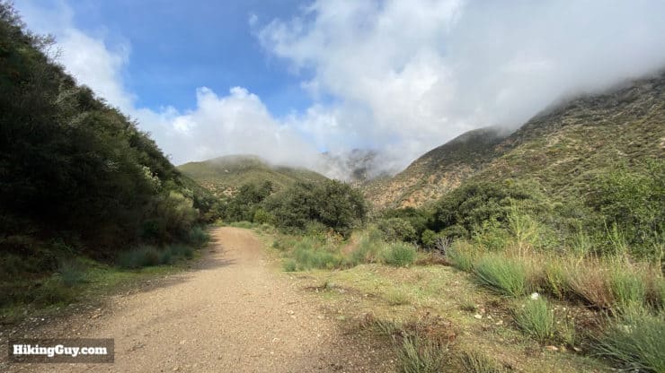
There are a few ways to climb Potato Mountain, and this route describes the most popular route from Evey Canyon.
How Will You Navigate?
 Using the Apple Watch for Hiking
 Garmin Fenix 7 & Epix Review For Hikers
 How To Read a Topographic Map
 Garmin GPSMAP 67i Review
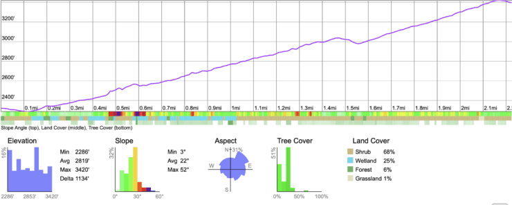
Elevation Profile
3D Map
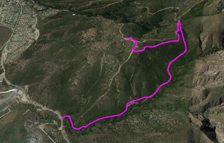
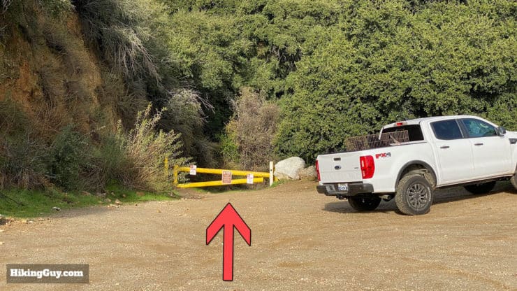
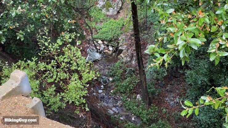
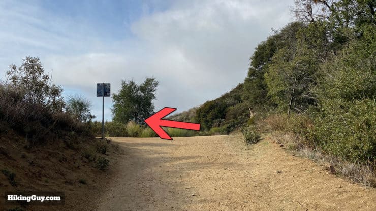
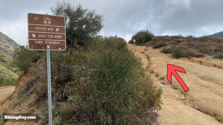
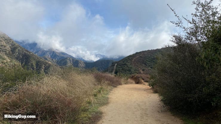
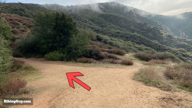
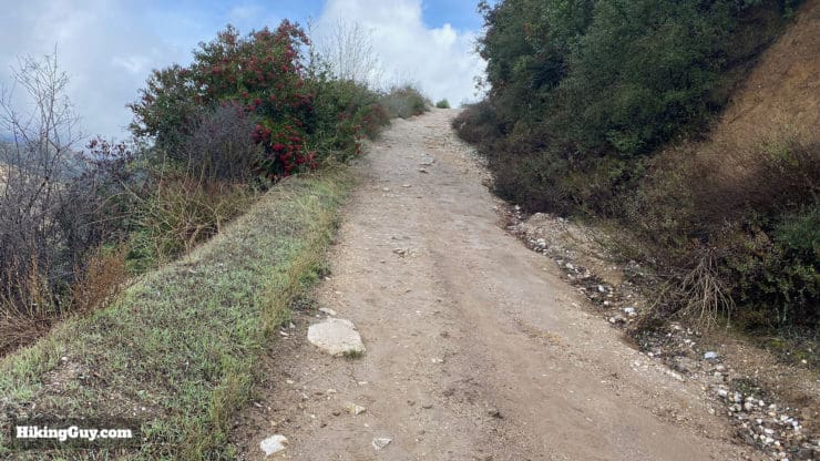
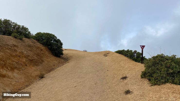
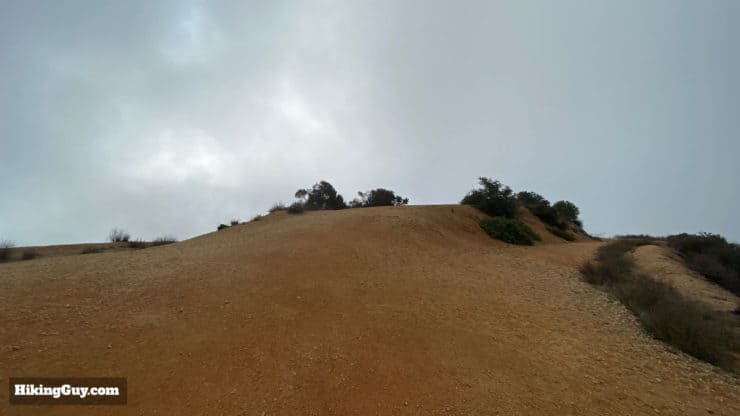
Potato Mountain Hike Directions
The trails you are on are part of a few park areas. Overall you're in Angeles National forest, but you are also in Claremont Hills Wilderness Park and the (ex) Herman Garner Biological Preserve. This area was saved from development by Herman Garner, who donated it to the Pomona College biology department on condition that it remain pristine wilderness. In 2017 the college gifted it to Claremont Hills Wilderness Park.

Need More Info?
- Have a question about the guide? Join my Patreon and ask me a question.
- When planning, always check the park website and social media to make sure the trails are open. Similarly, check the weather and road conditions.
- Do you have an update to this guide? View the Youtube comments for this video. Leave a comment and I will do my best to update the guide.
Related Guides
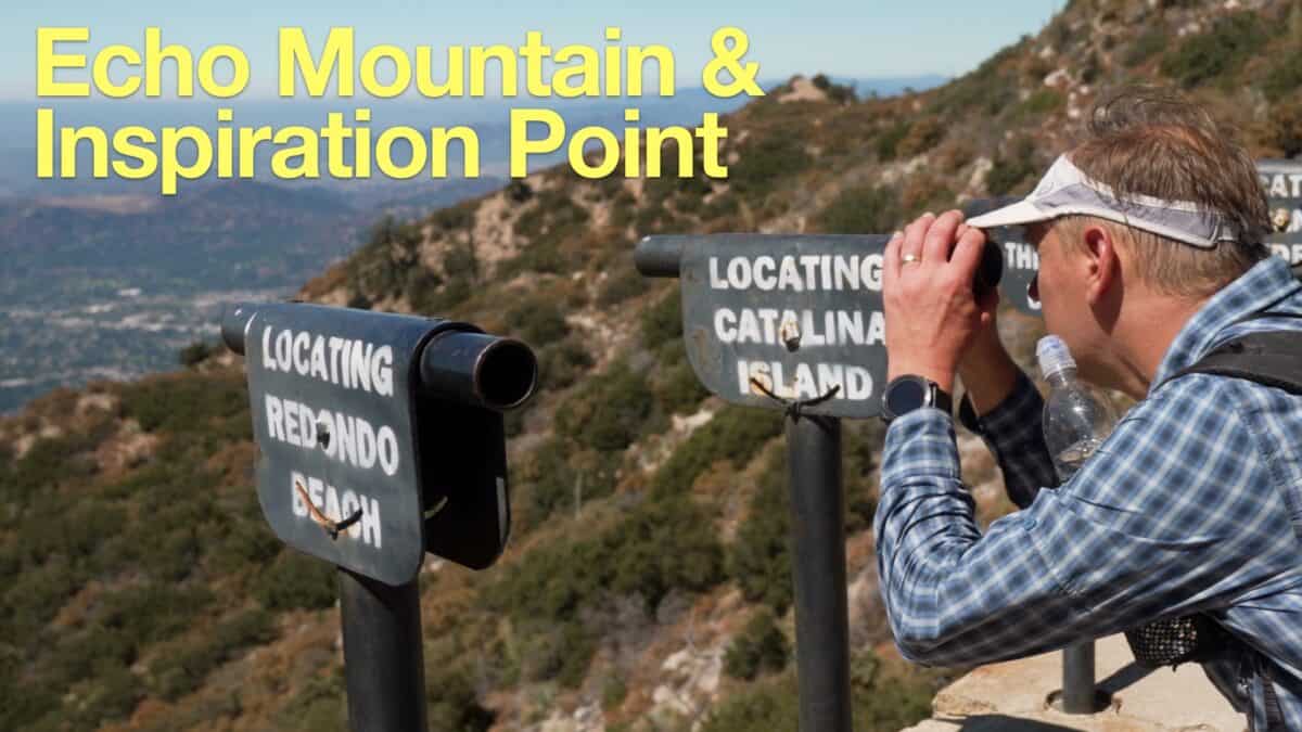 Echo Mountain & Inspiration Point Hike
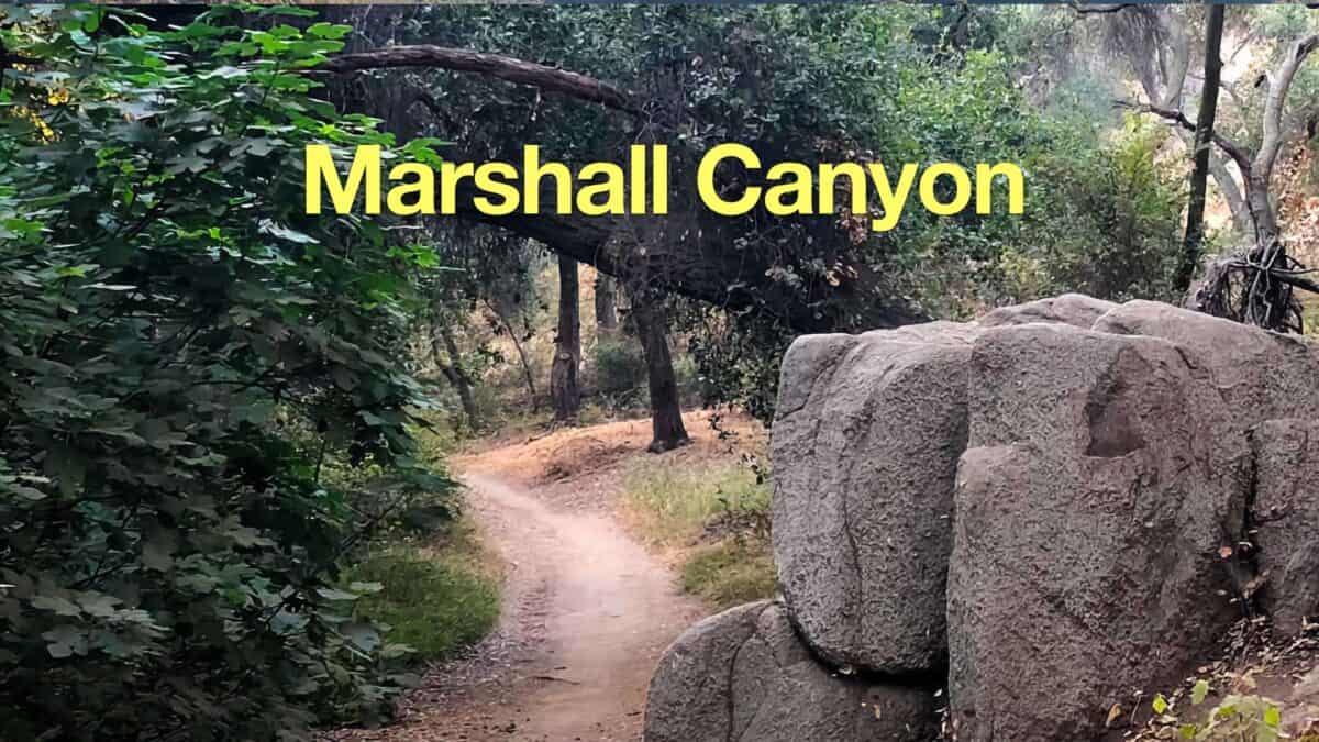 Marshall Canyon Trail
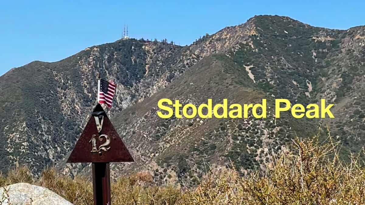 Stoddard Peak Hike
 Los Angeles Hikes
 Angeles National Forest Hikes
 LA Mountain Hikes
 San Gabriel Mountains National Monument Hiking
Popular Guides
 Best Hiking Gear 2024
 Hiking Boots or Shoes: Do I Really Need Hiking Boots?
 When to Hit SOS on inReach
This Guide Was Written by Cris Hazzard

Hi, I'm Cris Hazzard, aka Hiking Guy, a professional outdoors guide, hiking expert, and author based in Southern California. I created this website to share all the great hikes I do with everyone else out there. This site is different because it gives detailed directions that even the beginning hiker can follow. I also share what hiking gear works and doesn't so you don't waste money. I don't do sponsored or promoted content; I share only the gear recommendations, hikes, and tips that I would with my family and friends. If you like the website and YouTube channel, please support these free guides (I couldn't do it without folks like you!). You can stay up to date with my new guides by following me on YouTube, Instagram, or by subscribing to my monthly newsletter.