Murray Peak Hike (Palm Springs)
Hike Stats
- Total Distance
- 7.5 miles
- Time
- 3-4 Hours
- Total Climbing
- 2000 feet
- Difficulty
- Moderate
- Crowds
- Moderate
- Dogs
- No Dogs
- Gear
- What I Use
- Weather
- Latest Report
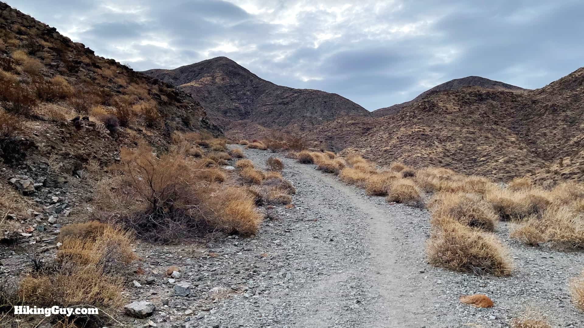
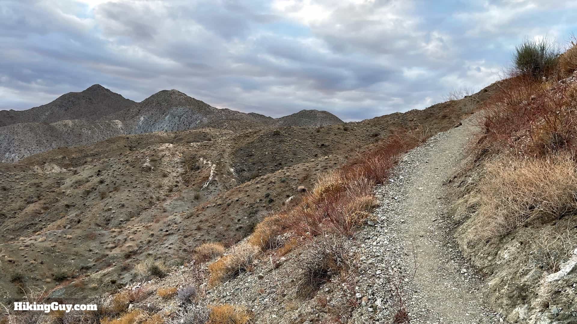
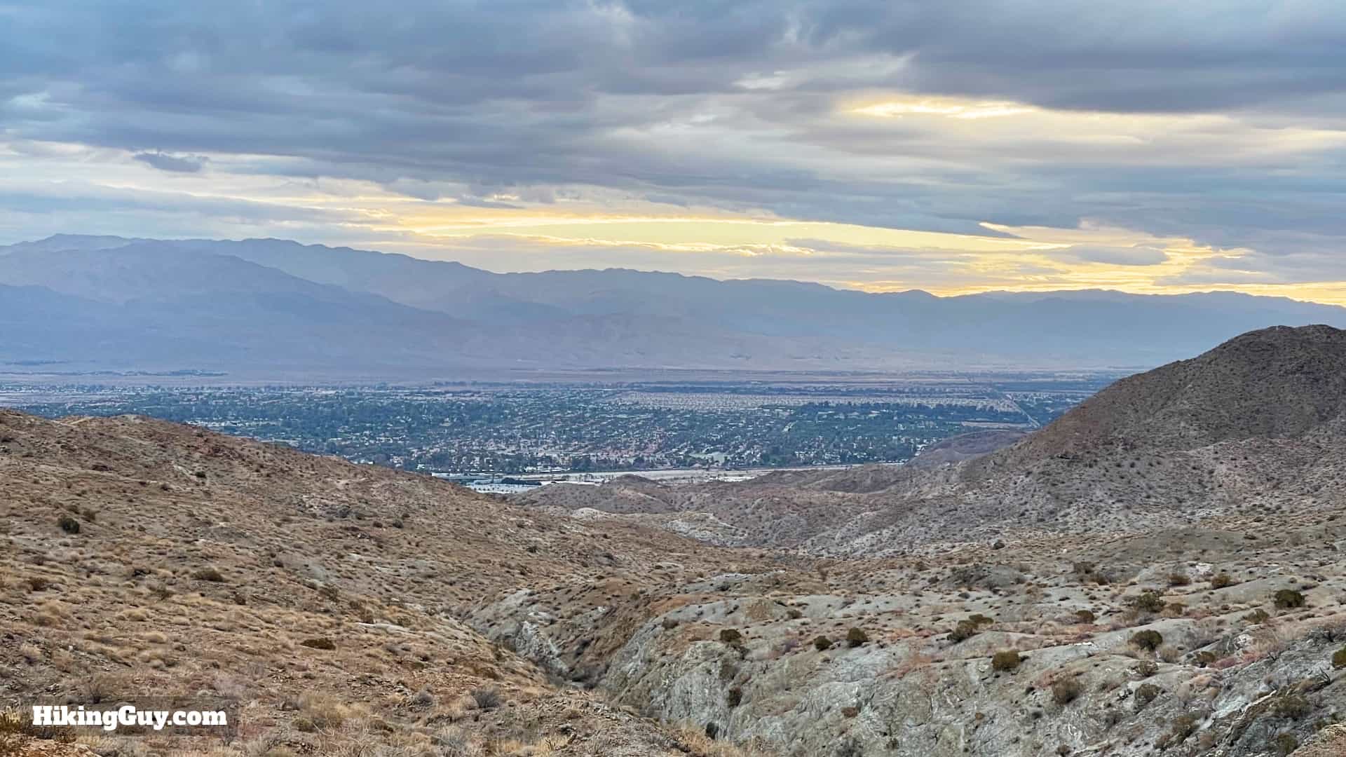
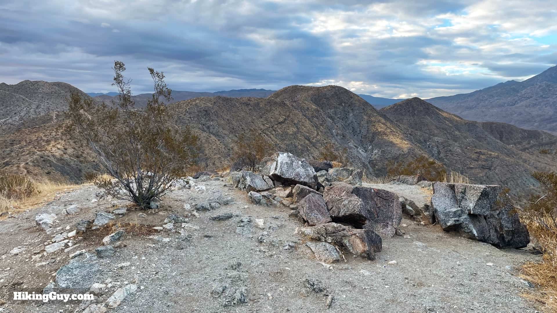
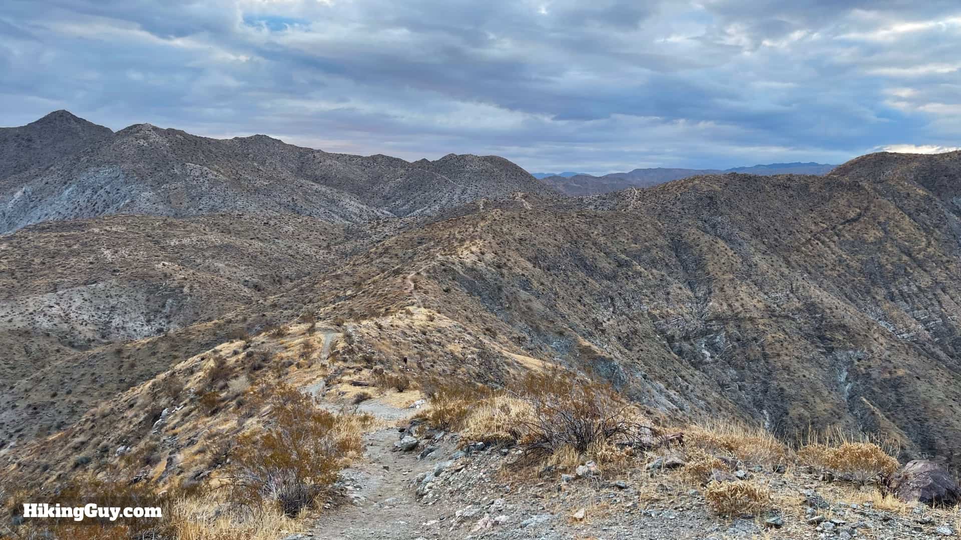
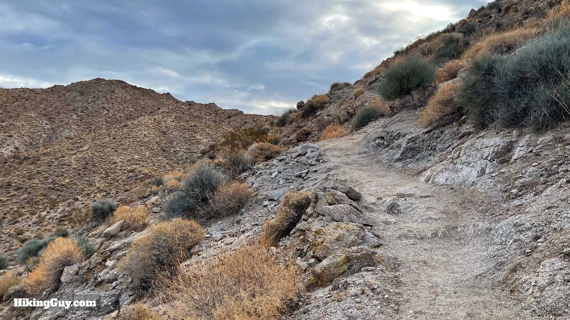
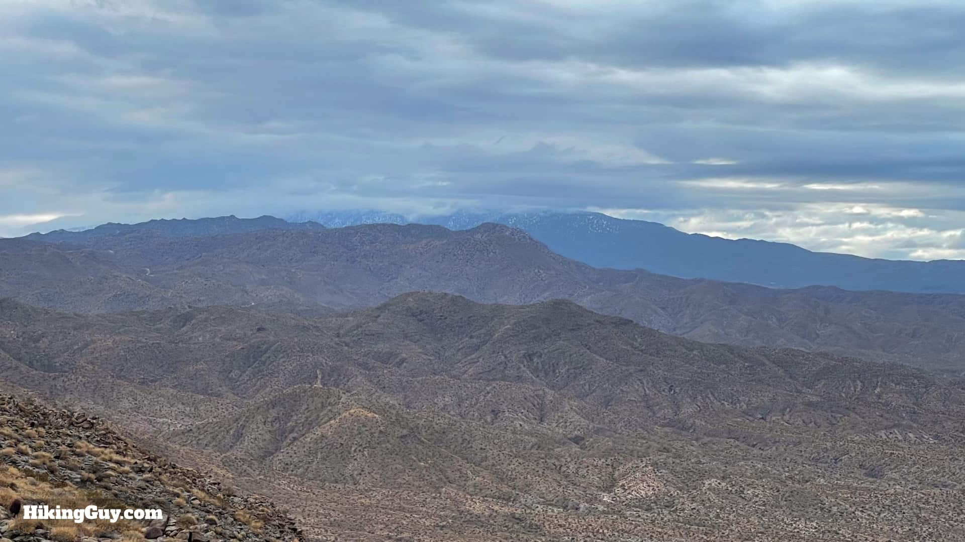
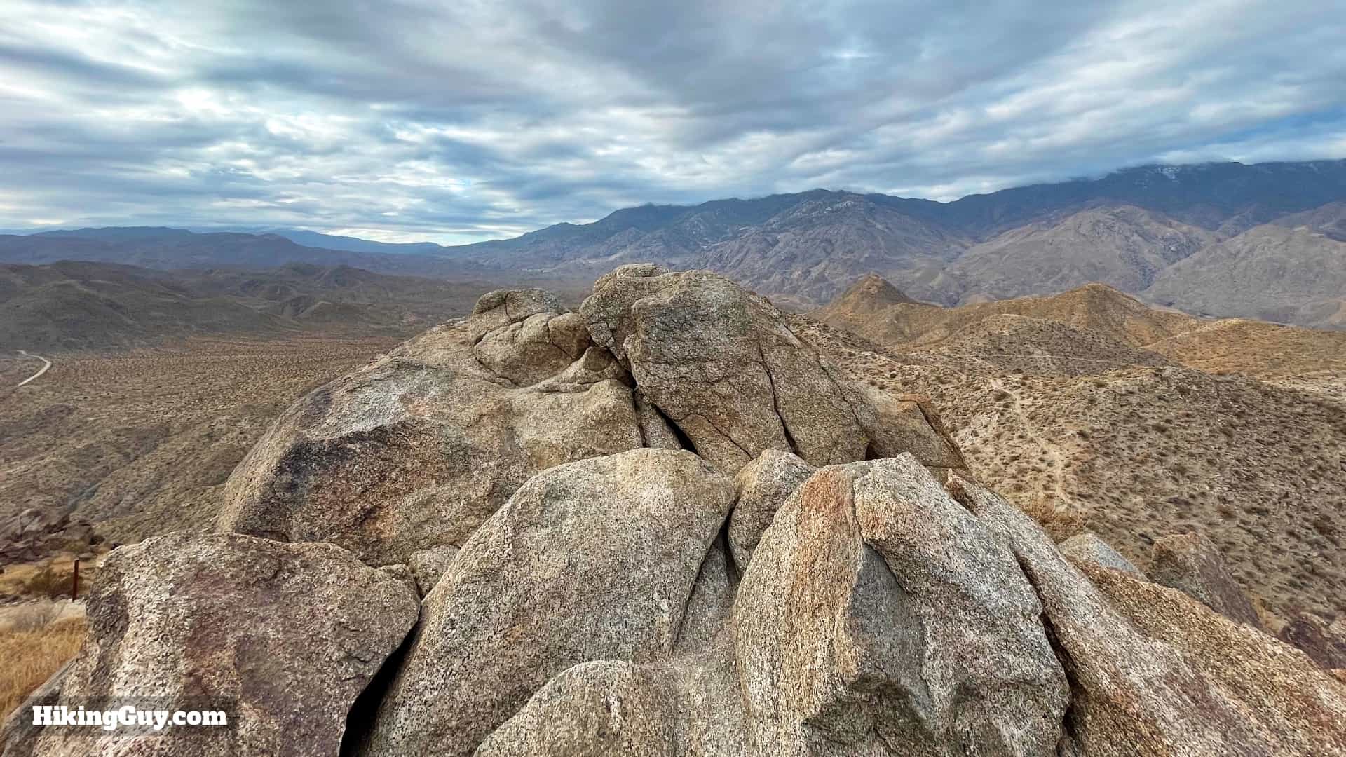
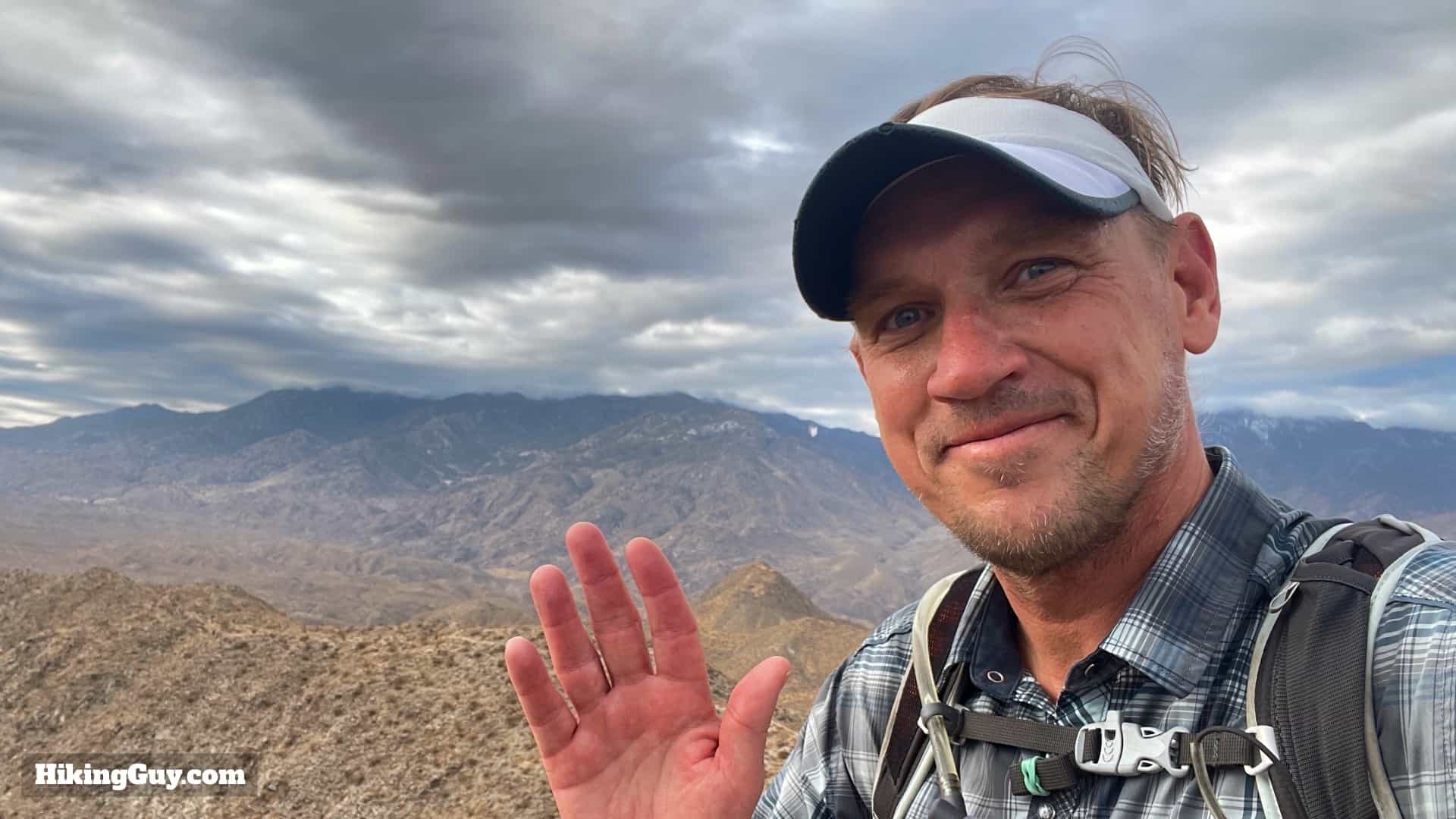
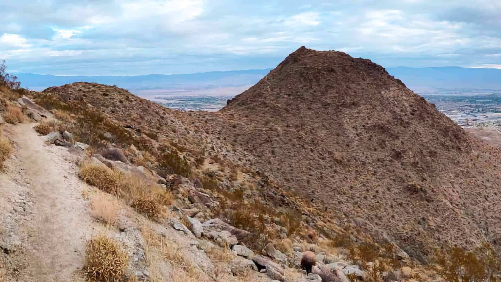
Most hikes in the Palm Springs area are up and down desert tracks in the foothills. But if you venture a little farther (7.5 miles total) and do the Murray Peak hike, you'll leave the big crowds behind and get a taste of the raw beauty of the Santa Rosa Mountains. You'll climb up along a quiet canyon in the shadow of the San Jacintos, crest a ridge with views into the Santa Rosas, and then end at a panoramic viewpoint where you can see the Coachella Valley, San Jacinto, San Gorgonio, and Joshua Tree. It's one of my favorite peaks and worth a visit.
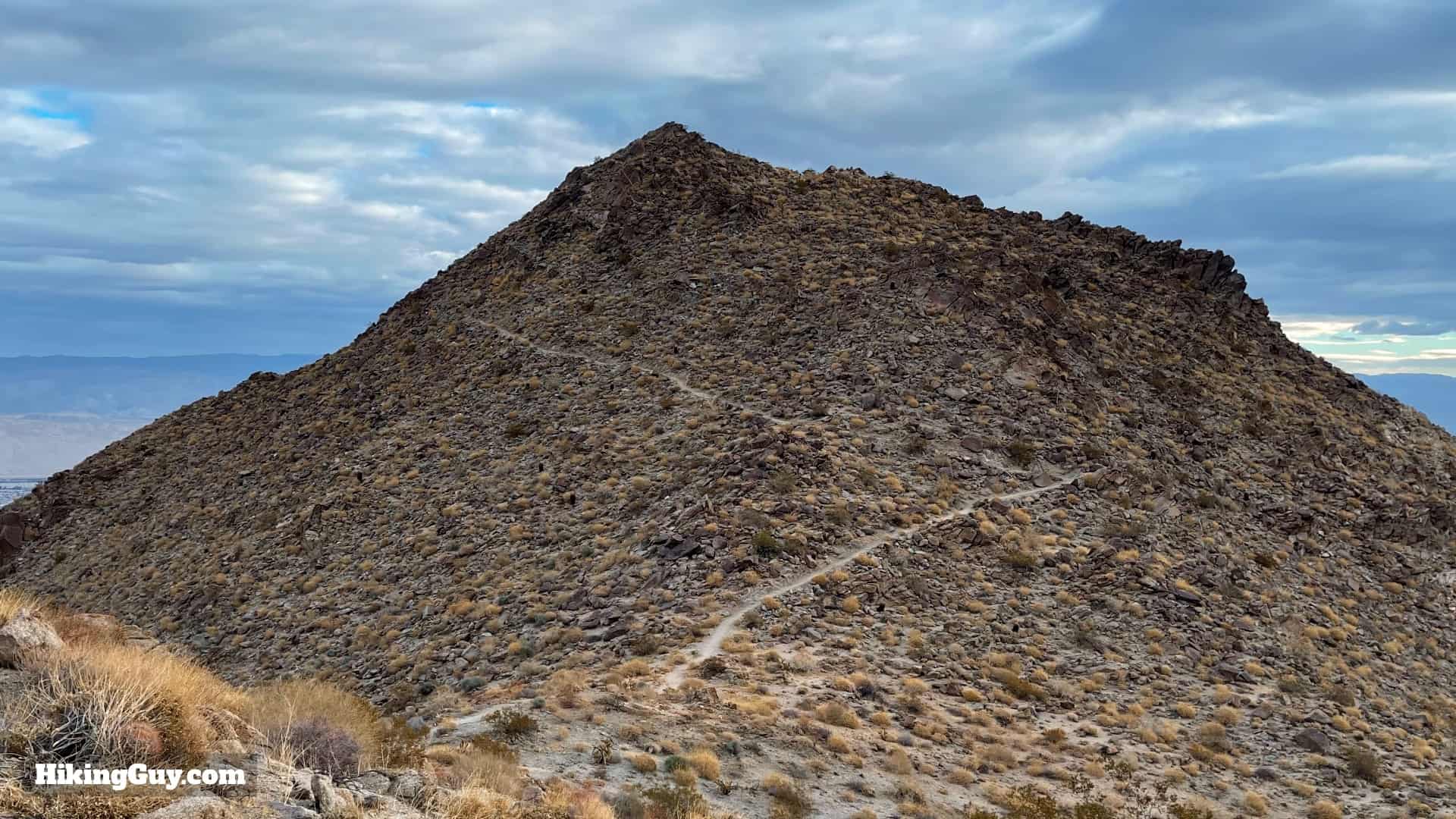
The summit is officially called Murray Hill, but the unofficial moniker of Murry Peak is more appropriate on this pyramid-shaped dome.
Murray Peak Hike Parking
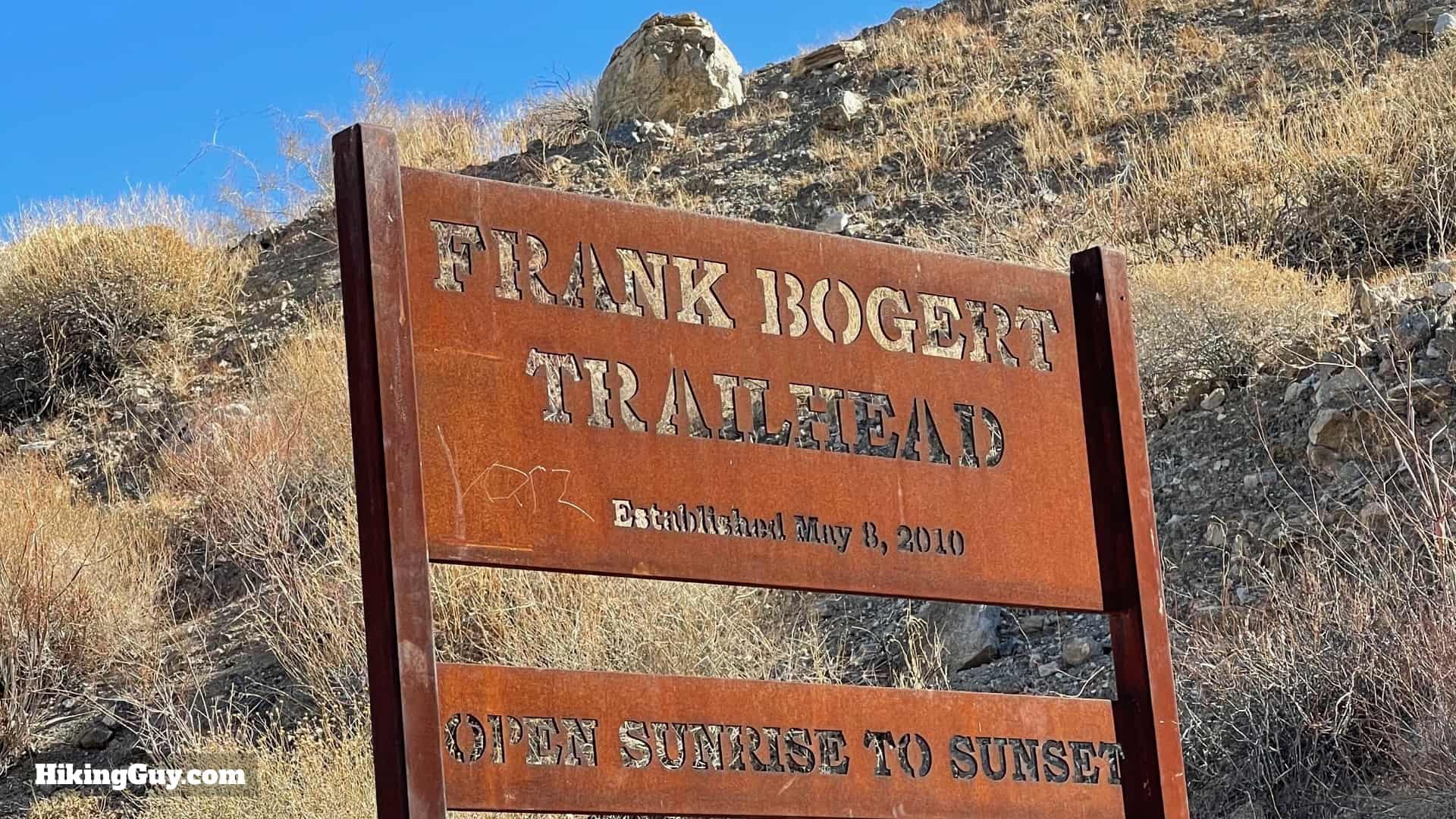
There are many ways to hike to Murray Peak, but I find that this routing is the best for most folks. Why? Because we're going to start at the Frank Bogert trailhead, which has a parking lot and usually doesn't get too full. And the climb up the Frank Bogert is quiet and shaded in the first half of the day, with great views across to the San Jacinto area. The other approaches work, but the parking can be tougher and the trails more confusing. Overall the Frank Bogert approach is much more user-friendly.
Use this trailhead address:
Frank Bogert Trailhead, Andreas Hills Dr, Palm Springs, CA 92264
The Frank Bogert trailhead is not on all maps, but it is on Google Maps, and is a "real" trailhead with parking lot and signage.


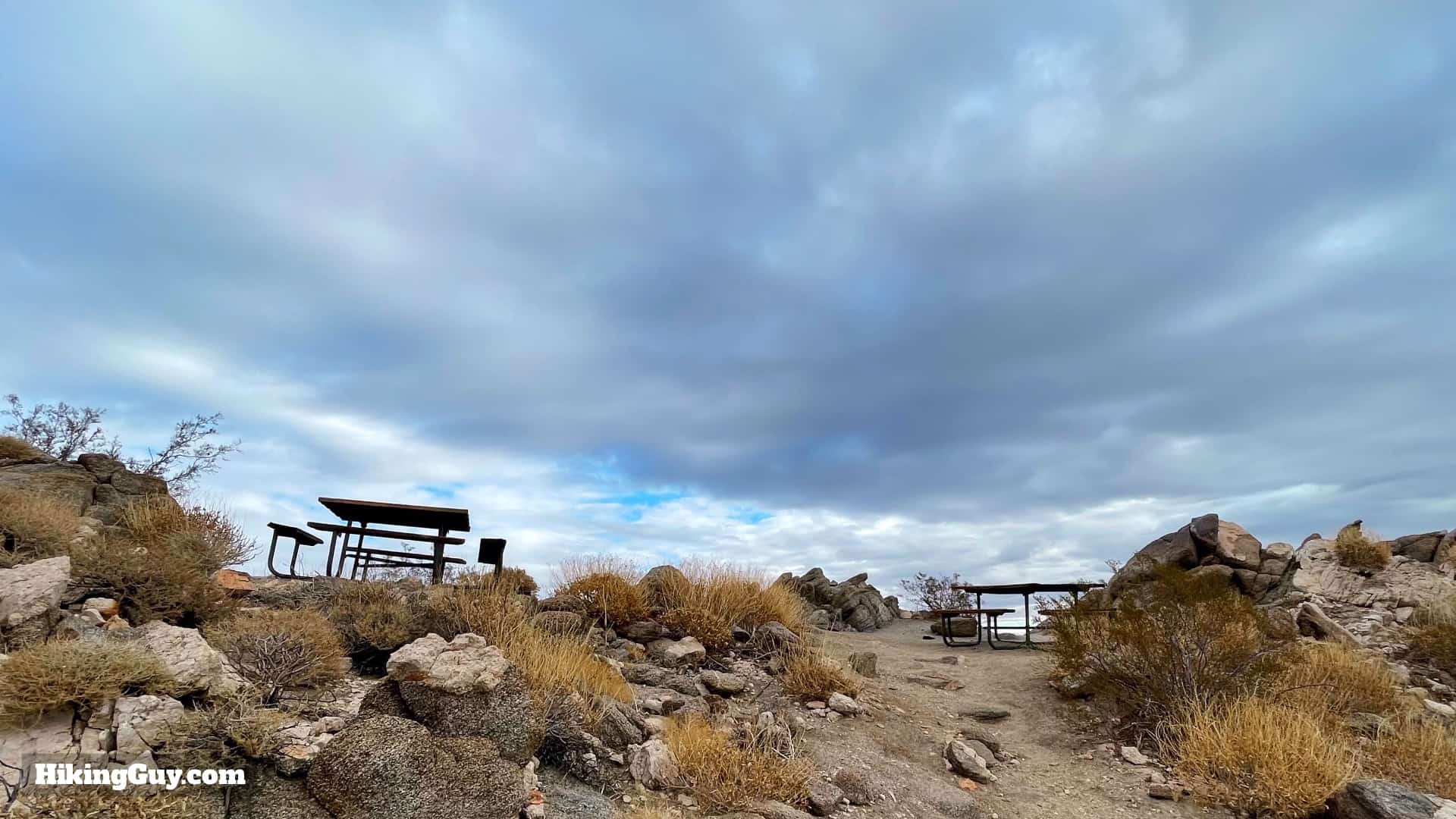
There is no water or bathrooms at the trailhead.
Gear for the Hike
This is a desert hike in the backcountry and you should plan accordingly. I take 2L of water and sun protection. In the warmer months this hike should only be done at sunrise or at night, it's totally exposed. Trekking poles help on the steep sandy slopes.
Essentials I’m Using Now
- Garmin inReach Mini 2: Reliable SOS Everywhere on Earth
- Sawyer + CNOC Water Filter: Easy & Reliable Safe Water
- Nitecore NU25 Headlamp: Running late? Get home safe
- Altra Olympus 275: Favorite trail shoes right now, no blisters and very comfy.
- AllTrails Plus (30% off): Offline maps on your phone with the Plus level
- Full December 2025 Gear List →
Murray Peak Trail Maps
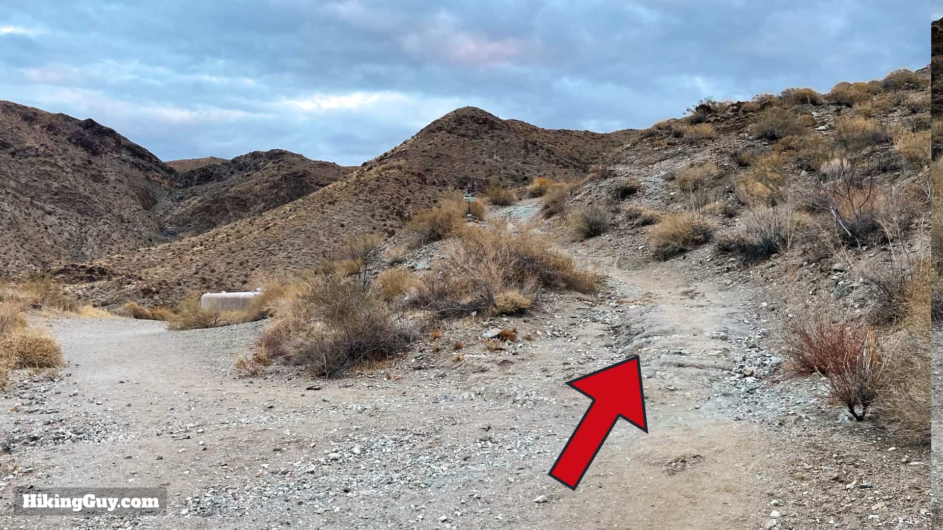
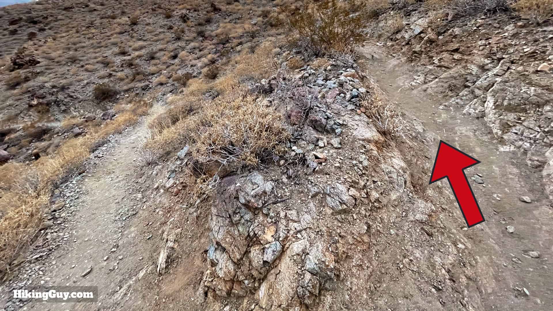
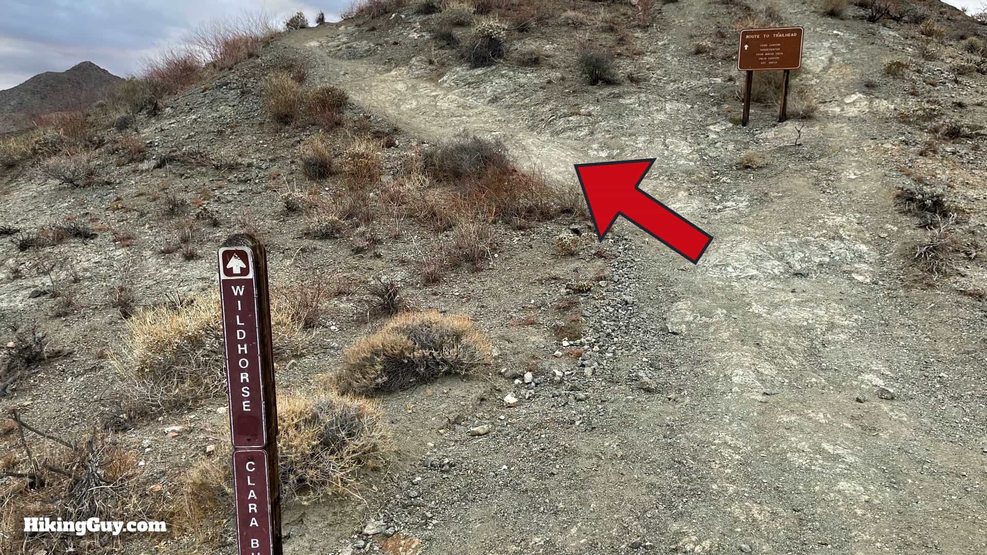
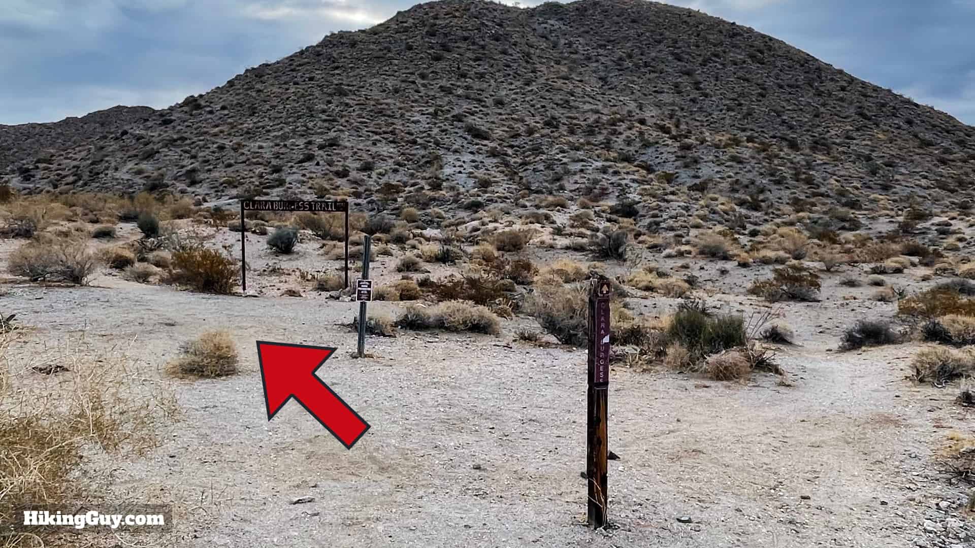
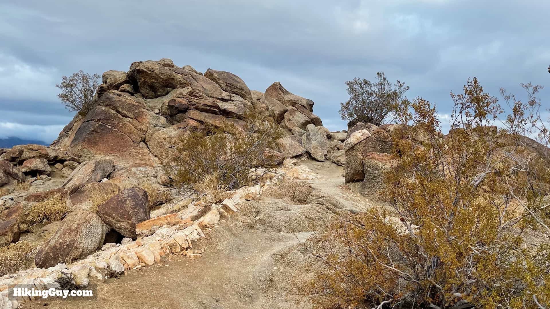
The hie starts on the Frank Bogert trail, which is relatively new (2009). Then it joins the Wildhorse and Clara Burgess trails. The trails are all easy enough to spot on the ground, and have sporadic signage.
Hike Brief

- Dr. Welwood Murray (1832-1914) left Scotland for California to improve his ailing health, eventually settling in Palm Springs. He was one of the first gringo settlers, and he built a hotel, library, garden that catered to people dealing with health issues. He's known as "The Patriarch of Palm Springs" and you'll see his name all over the place, including Murray Hill.
- If you poke around at other guides, you may see other elevations for Murray Hill. The official USGS datasheet says 2169 feet, other maps say 2200, and some have it between 2200-2220 feet. Whatever it is, the prominence is great and you have nice 360 views from the summit.
- Frank Bogert, who the first trail is named after, was a 4-term Palm Springs mayor and cowboy who helped build the city up as a tourist destination in the 1930s and on. Today his legacy is being re-examined.
- The area you will hike through endangered peninsular bighorn territory (read more about them in this guide). Keep your eyes on the hillsides for them. They blend in very well here and can be tough to spot.
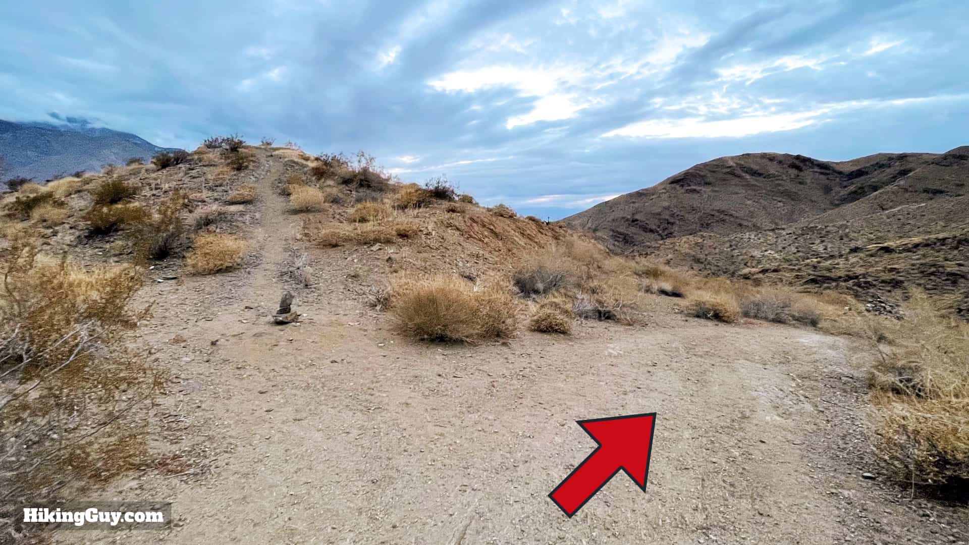
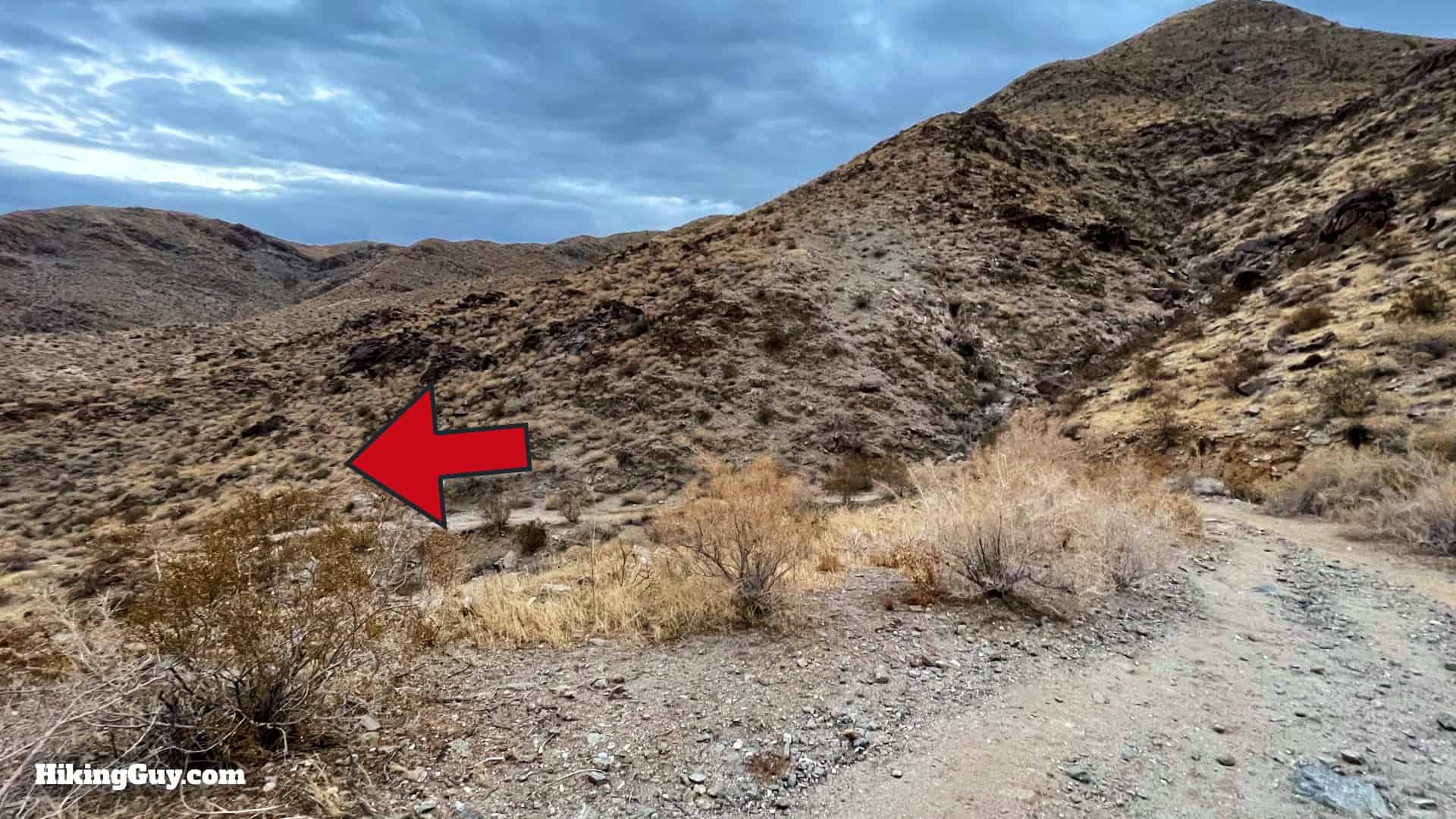
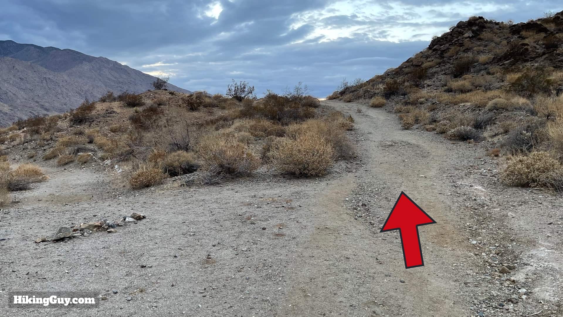
Murray Peak Hike Directions