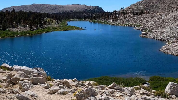

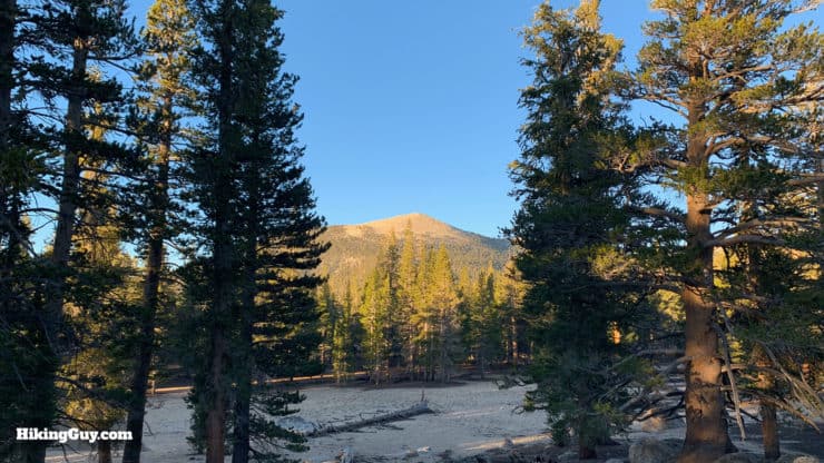
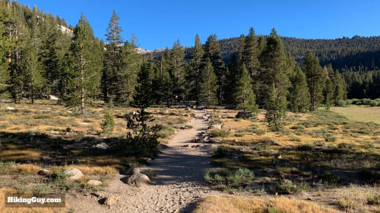
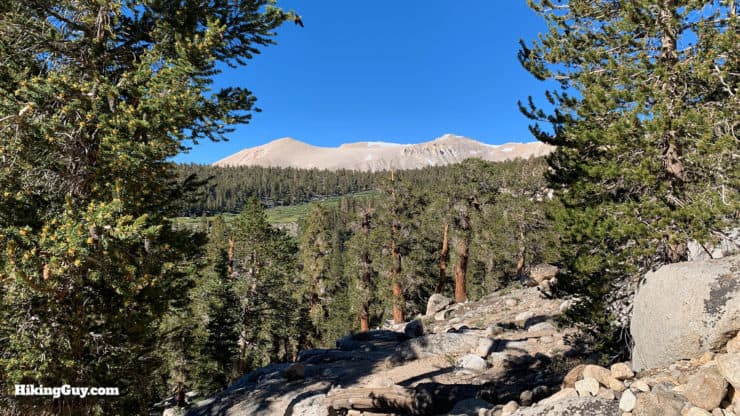
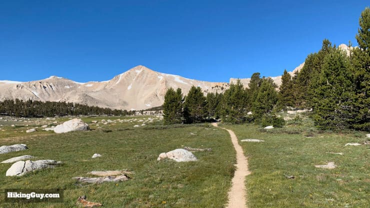
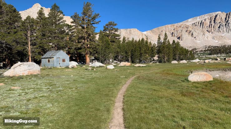
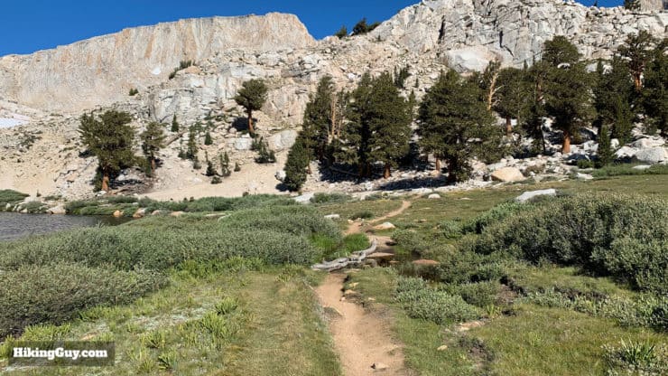
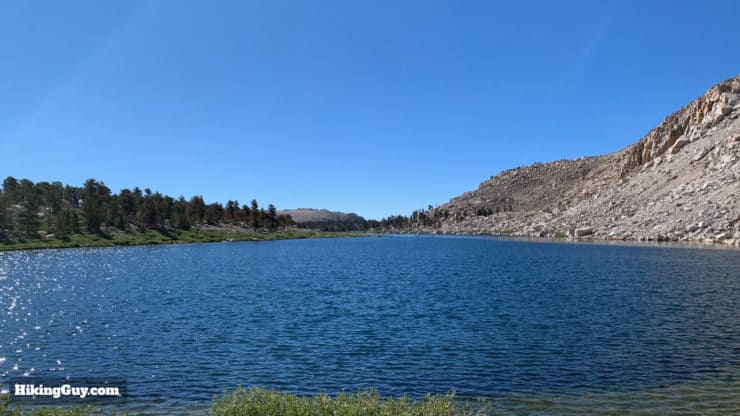
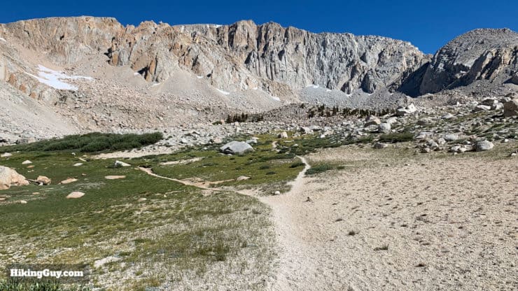
The Cottonwood Lakes hike probably gives you the most bang-for-your-buck in the Eastern Sierra. The hike starts from the Cottonwood Lakes Campground, already at 10,000 feet, so your car does most of the legwork to get you to altitude. From there, the Cottonwood Lakes Trail gently makes its way through pristine alpine terrain to a series of several crystal-clear alpine lakes, all in the shadow of the high Sierra peaks like Mt Langley. Every step of this must-do hike is spectacular, so give it a try.
- Cottonwood Lakes Hike Directions & Video
- Getting to the Cottonwood Lakes Campground Trailhead
- Gear and Prep For the Hike
Getting to the Cottonwood Lakes Campground Trailhead
The drive to the Cottonwood Lakes Campground is pretty spectacular. Just south of Lone Pine, the gateway to Mt Whitney, you leave Rt 395 and climb 6,000 feet up Horseshoe Meadow Road, a long windy road up the side of the mountain. If you have a fear of heights, it's probably not a drive for you.
Horseshoe Meadow Road is generally closed for the winter (May-October). Call the Eastern Sierra Visitor Center to confirm if in doubt.
Use this address for the trailhead:
Cottonwood Lakes Walk in Campground, Lone Pine, CA, 93545
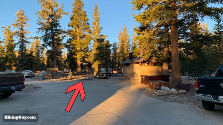
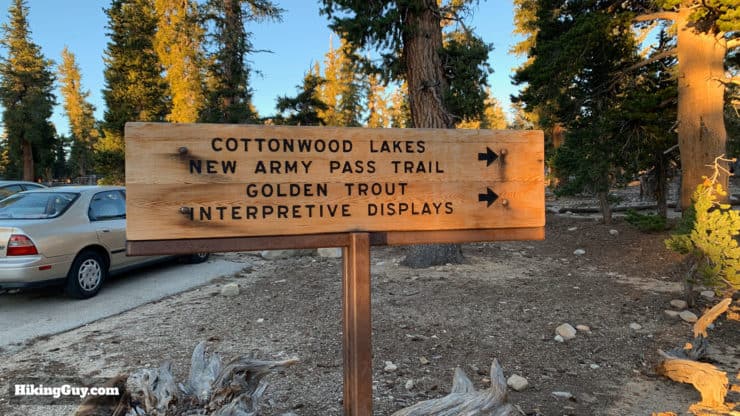
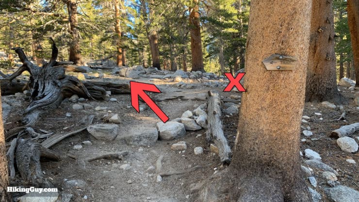
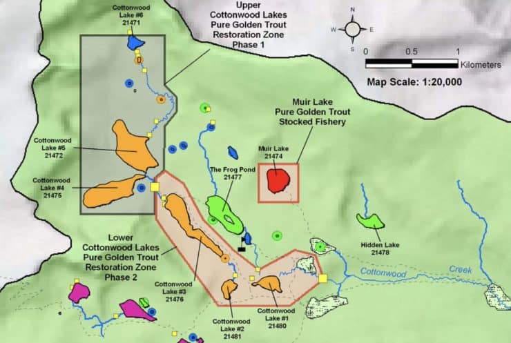
It can get confusing when you get up to the camp and trailhead area. There are signs but to give you an overview, here's a map. You're heading to the parking lot of the Cottonwood Lakes Walk-In Campground, not Horseshoe Meadow.
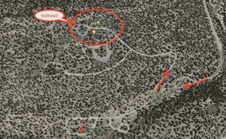
You don't need any parking permits for the lot!
Camping at Cottonwood Lakes Walk-In Campground
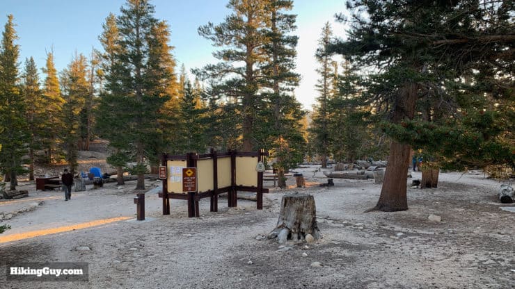
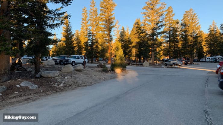
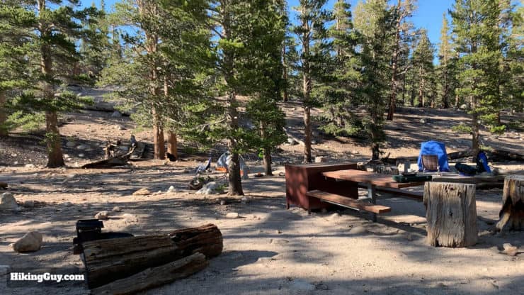
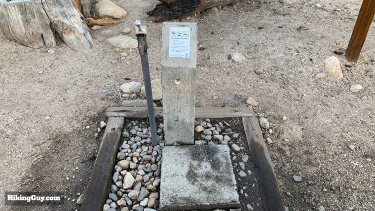
If you want to stay overnight at the trailhead, there's a great option, the Cottonwood Lakes Walk-In Campground. There are 13 campsites right next to the parking lot and trailhead. You just walk your tent and gear 100 feet or so in from the lot; there's no hiking or backpacking needed. There's a small fee to use the campground. Fill out the form on the envelope, put your cash in it, and then drop it in the box. It helps to have singles and cash for the fee. The campsite area (and trailhead) have vault toilets, piped potable water, and trash cans.
It's a really mellow campground even though it's close to the lot. I'll often come up to Cottonwood Lakes Walk-In Campground the night before, sleep at altitude, then do this hike in the morning. It's also a great way to acclimatize and warm-up for a hike to Mt Whitney the following day.
If you can't find a campsite, try the nearby Cottonwood Pass Trailhead Campsite or even the Horseshoe Meadow Equestrian Campsite (although this is technically only for equestrians).
There's a one-night maximum stay at each campground.
Camping at Cottonwood Lakes
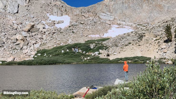
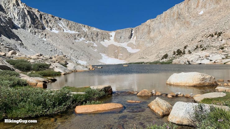
The area around the actual Cottonwood Lakes is a favorite among backcountry campers. There are no official sites; all the camping is dispersed, but the area is popular and you can find some nice nooks around the lakes where people have been before. Lakes #4 and #5 are particularly popular.
You do need a wilderness permit to camp overnight, and there is a quota, and while it's popular, it's not as crazy as the Mt Whitney lottery. Just reserve a permit in advance and do your thing.
Permit Availablity
Can't get a permit for your date? Try OutdoorStatus.com and get a text message as soon as a cancelled permit opens up!.
Gear For the Hike
Even though this isn't a crazy mountain climb, you are in the middle of the Eastern Sierras, and I recommend real hiking gear. Be prepared for alpine conditions and rapidly changing weather. It will probably be at least 20F cooler here than in Lone Pine, prepare accordingly.
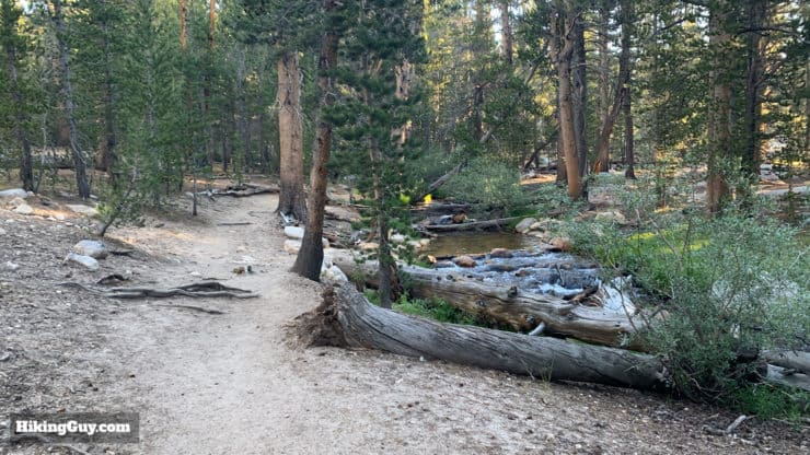
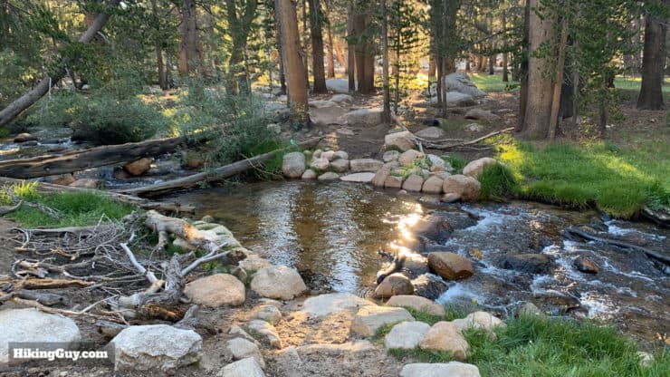
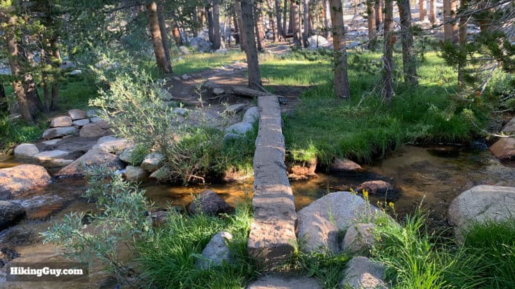
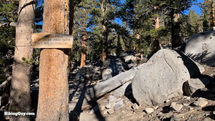
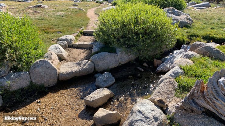
There is plenty of water along the hike that's pretty reliable except in extreme drought conditions. In the summer mosquitos can be bad, so bring a head net and repellant. There are some small stream crossings that are doable without trekking poles, but if you have them it can't hurt.
If you go to the bathroom on the hike, please go away from the trail and water sources. The bathroom at the trailhead is the only "toilet toilet."
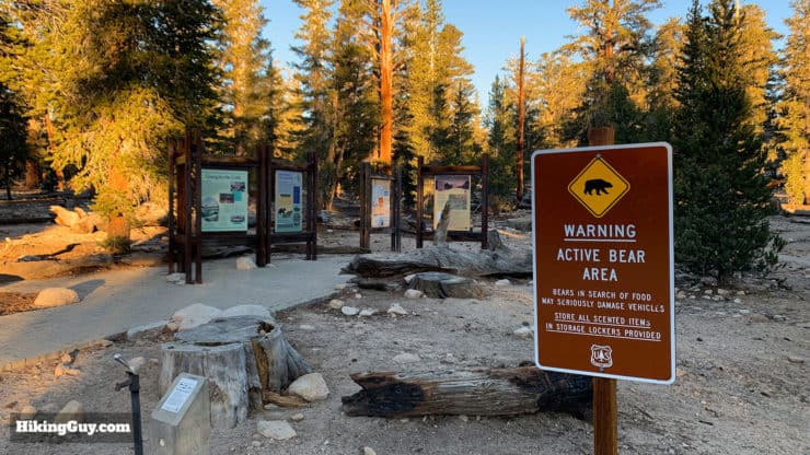
If you camp, Iit gets cold up around the lakes overnight so plan accordingly (you can check out my camping gear recommendations on my gear page). There are also bears and rodents looking for unattended food, so use a bear canister.
Gear That I Love Right Now
Nothing is sponsored or promoted, just the actual gear that I use.


Check out the complete list here. ( Updated July 2024)
Cottonwood Lakes Trail Maps
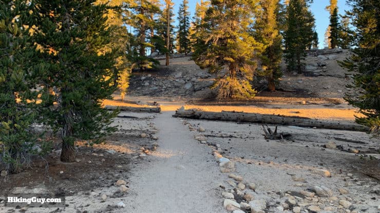
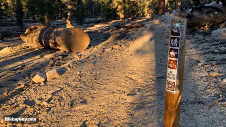
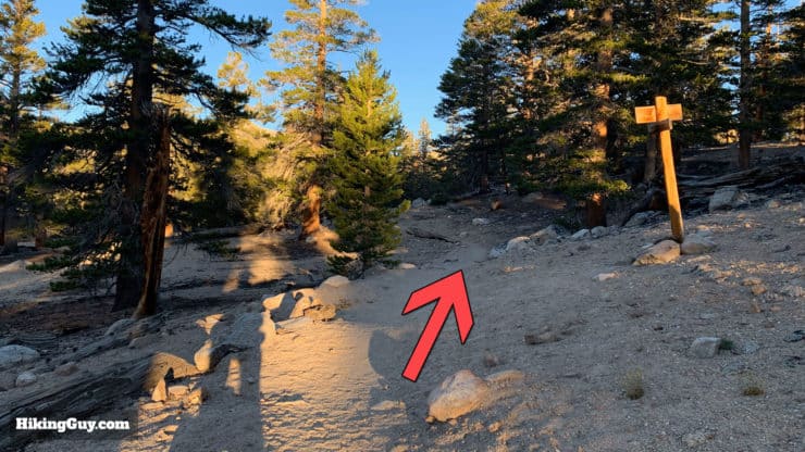
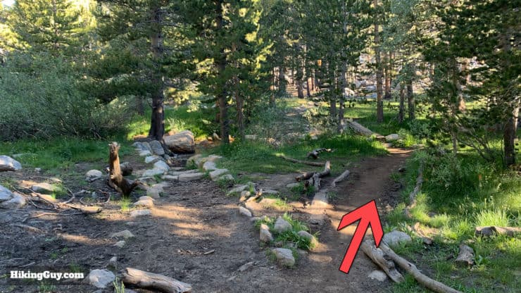
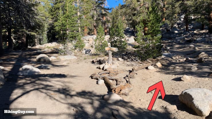
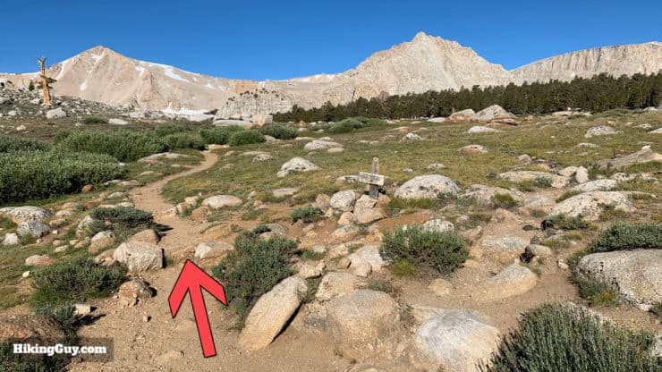
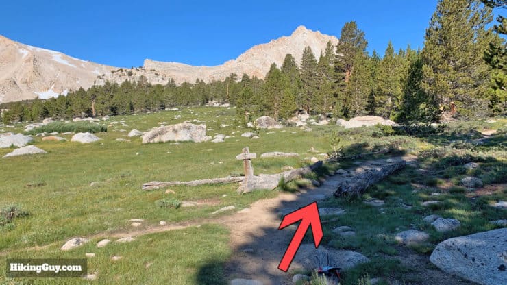
Overall the trail from the campground to Cottonwood Lakes is easy to follow and in great condition. There are some side trails and trails listed on Open Street Maps (OSM) that are very primitive, so if you are going to plan your own hike off this trail, make sure you have a GPX file loaded on your GPS.
How Will You Navigate?
 Using the Apple Watch for Hiking
 Garmin Fenix 7 & Epix Review For Hikers
 How To Read a Topographic Map
 Garmin GPSMAP 67i Review
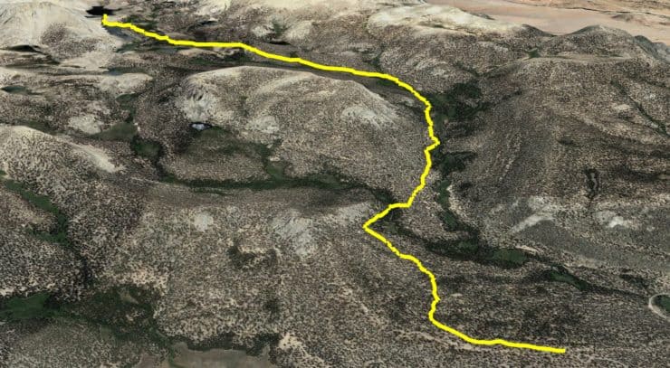
Cottonwood Lakes Hike 3D Map
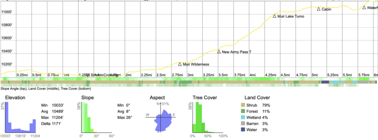
Cottonwood Lakes Hike Landmarks
| Landmark | Distance | Elevation |
|---|---|---|
| South Fork Cottonwood Creek Crossing | 1.4 | 10030 |
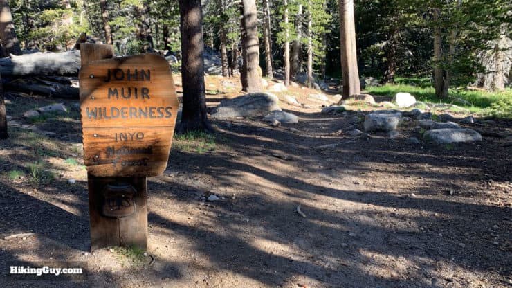
| Muir Wilderness | 2.9 | 10250 |
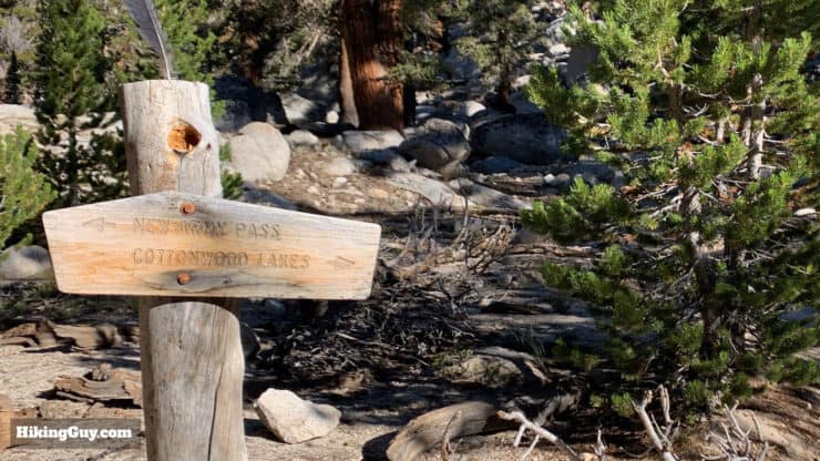
| New Army Pass Trail | 3 | 10450 |
| Muir Lake Junction | 4.5 | 11000 |
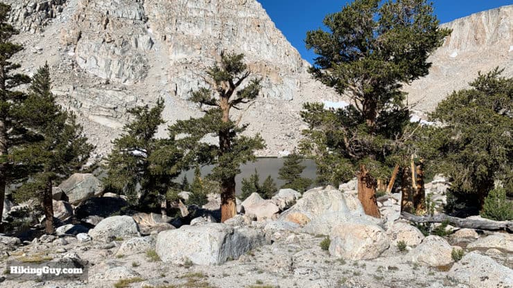
| CDFG Cabin/Lakes | 5.2 | 11100 |
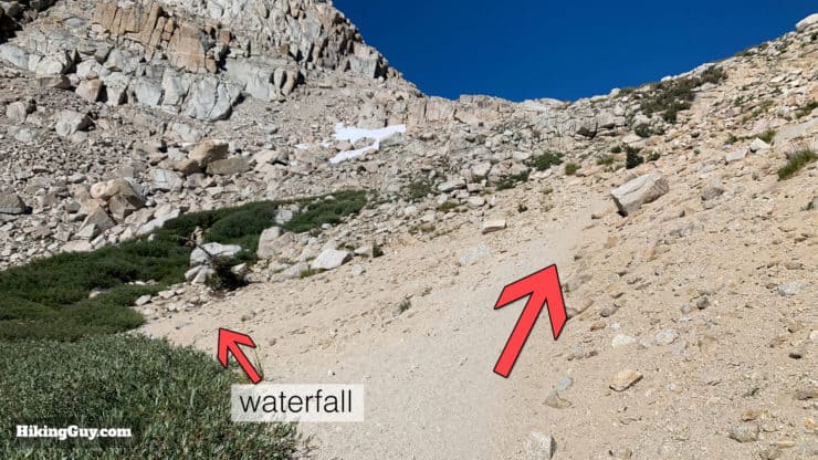
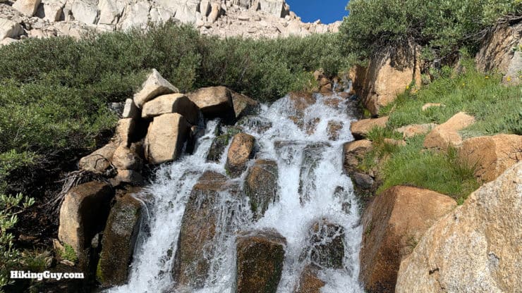
| Waterfall | 6 | 11030 |
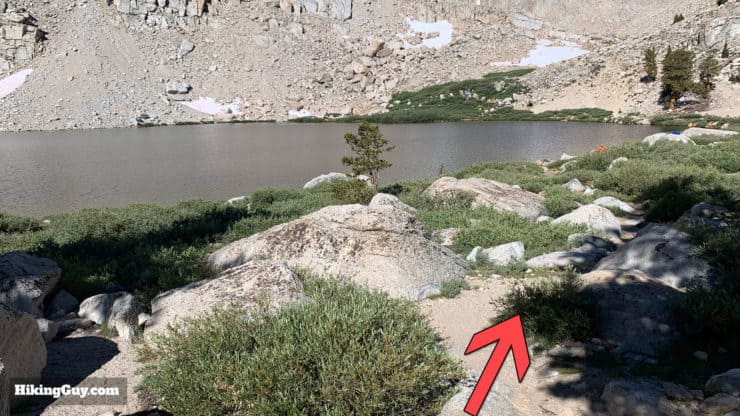
| Lake #5 | 6.5 | 11200 |
Cottonwood Lakes Hike Elevation Profile
Cottonwood Lake Hike Highlights
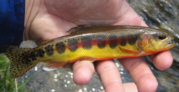
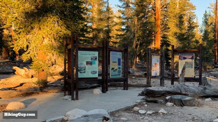
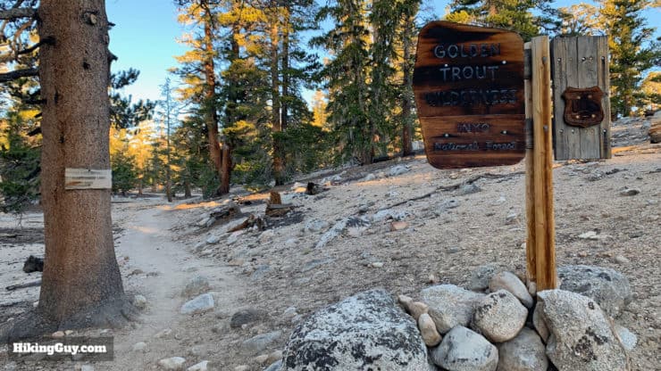
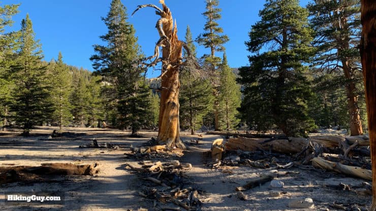
- The hike starts in the Golden Trout Wilderness, named after the California state fish. The area was formed in 1978 and encompasses 304,000 acres in the southern Sierra Nevada.
- The Golden Trout is only native to the waters of this area and is widely regarded as one of the most beautiful trout in the world. They formed into their own species of trout by becoming isolated in these mountain lakes thousands of years ago by volcanic activity. They were overfished, but the California Department of Fish and Game has restored their habitat in Cottonwood Lakes. When you get to the lakes, be sure to spend some time gazing into the clear water. You could see a trout or two.
- If you want to fish for trout at Cottonwood Lakes, you just need a fishing license.
How To Hike to Cottonwood Lakes
What exactly is a Wilderness Area?
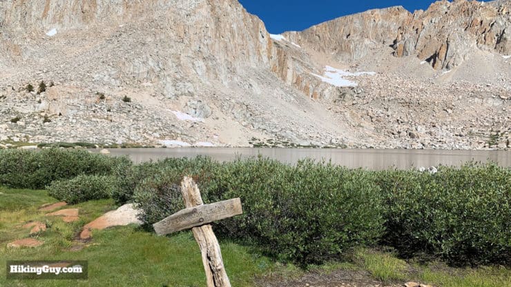
Before we start hiking through the lakes, it helps to acquaint yourself with the layout and numbers of the lakes, some of which are incorrect or not marked on official Forest Service maps.
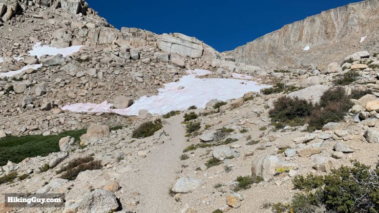
Although it looks like a nice big line on some maps, the actual trail from here up to Old Army Pass is usually in bad condition with sections washed out. If you're looking to gain the ridge, I highly recommend taking New Army Pass instead.
Need More Info?
- Have a question about the guide? Join my Patreon and ask me a question.
- When planning, always check the park website and social media to make sure the trails are open. Similarly, check the weather and road conditions.
- Do you have an update to this guide? View the Youtube comments for this video. Leave a comment and I will do my best to update the guide.
Related Guides
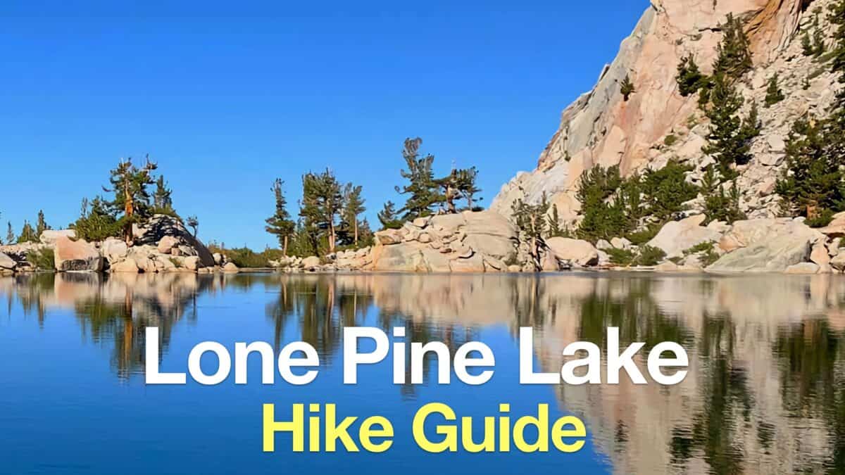 Lone Pine Lake Hike
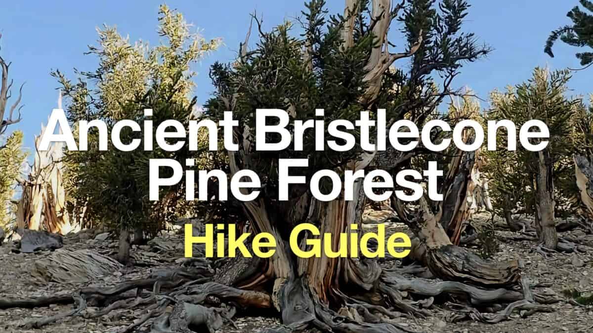 Ancient Bristlecone Pine Forest Hike
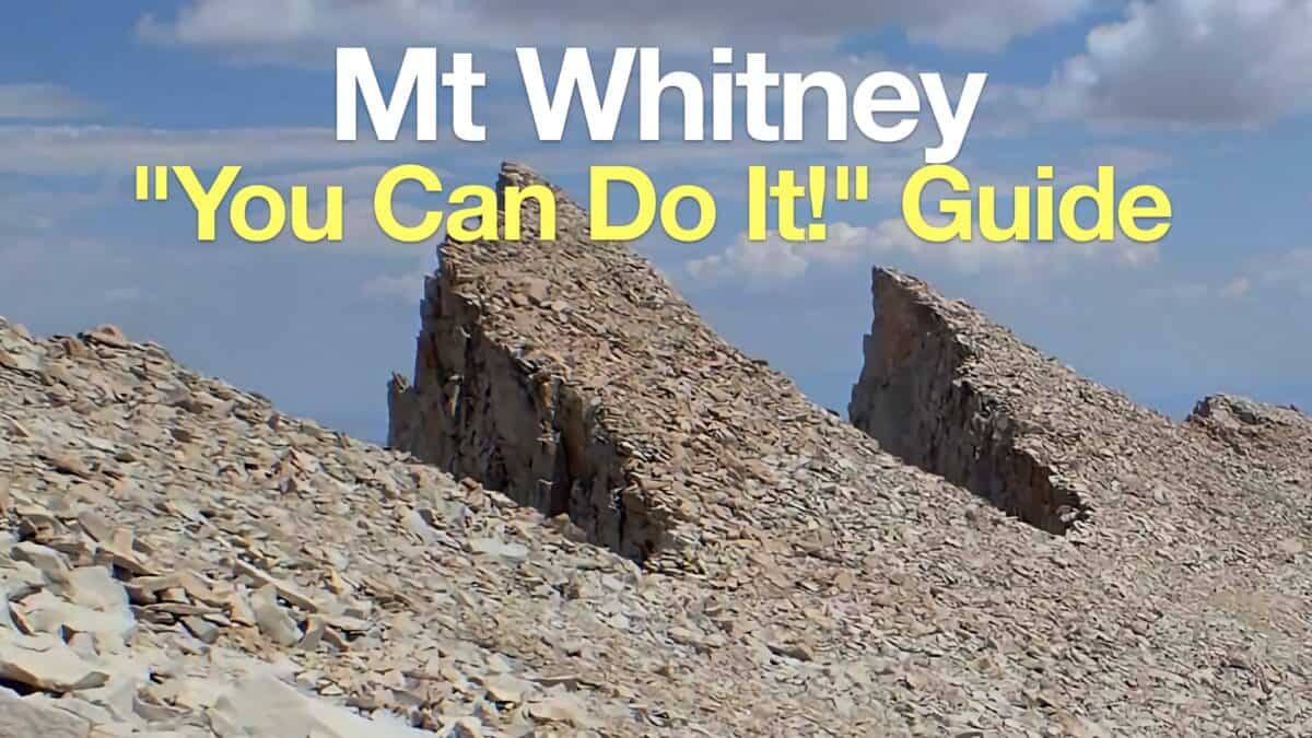 Mt Whitney Hike
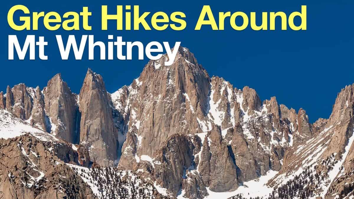 Hikes Around Mt Whitney
 Backpacking Trips
 Best Hikes in the World
 Eastern Sierra Hikes
 Inyo National Forest Hiking Trails
Popular Guides
 Best Hiking Gear 2024
 Hiking Boots or Shoes: Do I Really Need Hiking Boots?
 When to Hit SOS on inReach
This Guide Was Written by Cris Hazzard

Hi, I'm Cris Hazzard, aka Hiking Guy, a professional outdoors guide, hiking expert, and author based in Southern California. I created this website to share all the great hikes I do with everyone else out there. This site is different because it gives detailed directions that even the beginning hiker can follow. I also share what hiking gear works and doesn't so you don't waste money. I don't do sponsored or promoted content; I share only the gear recommendations, hikes, and tips that I would with my family and friends. If you like the website and YouTube channel, please support these free guides (I couldn't do it without folks like you!). You can stay up to date with my new guides by following me on YouTube, Instagram, or by subscribing to my monthly newsletter.