Hiking Stonewall Peak Trail
PLAY VIDEO

Hiking Stonewall Peak Trail

Distance: 4.2 miles
Time: 2 Hours
Total Climbing: 830 feet
Difficulty: Moderate
Crowds: Moderate
Dogs: No Dogs

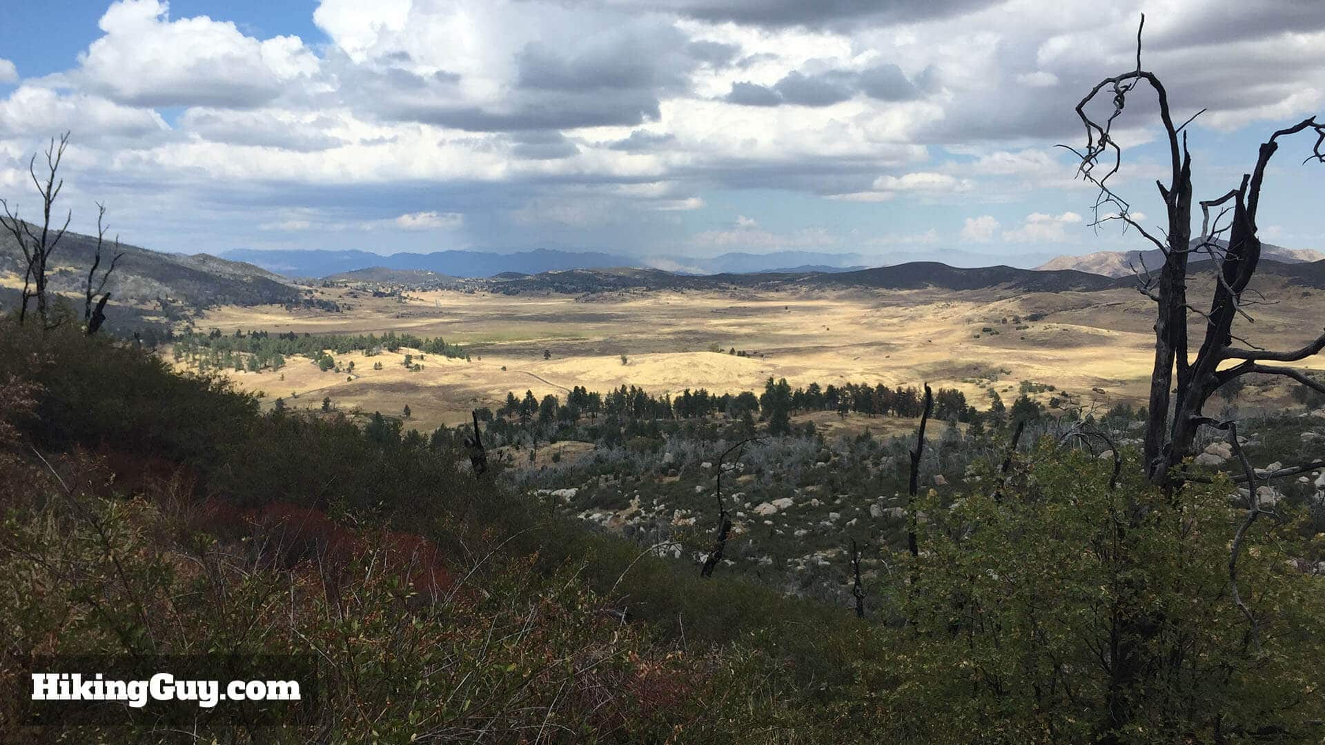
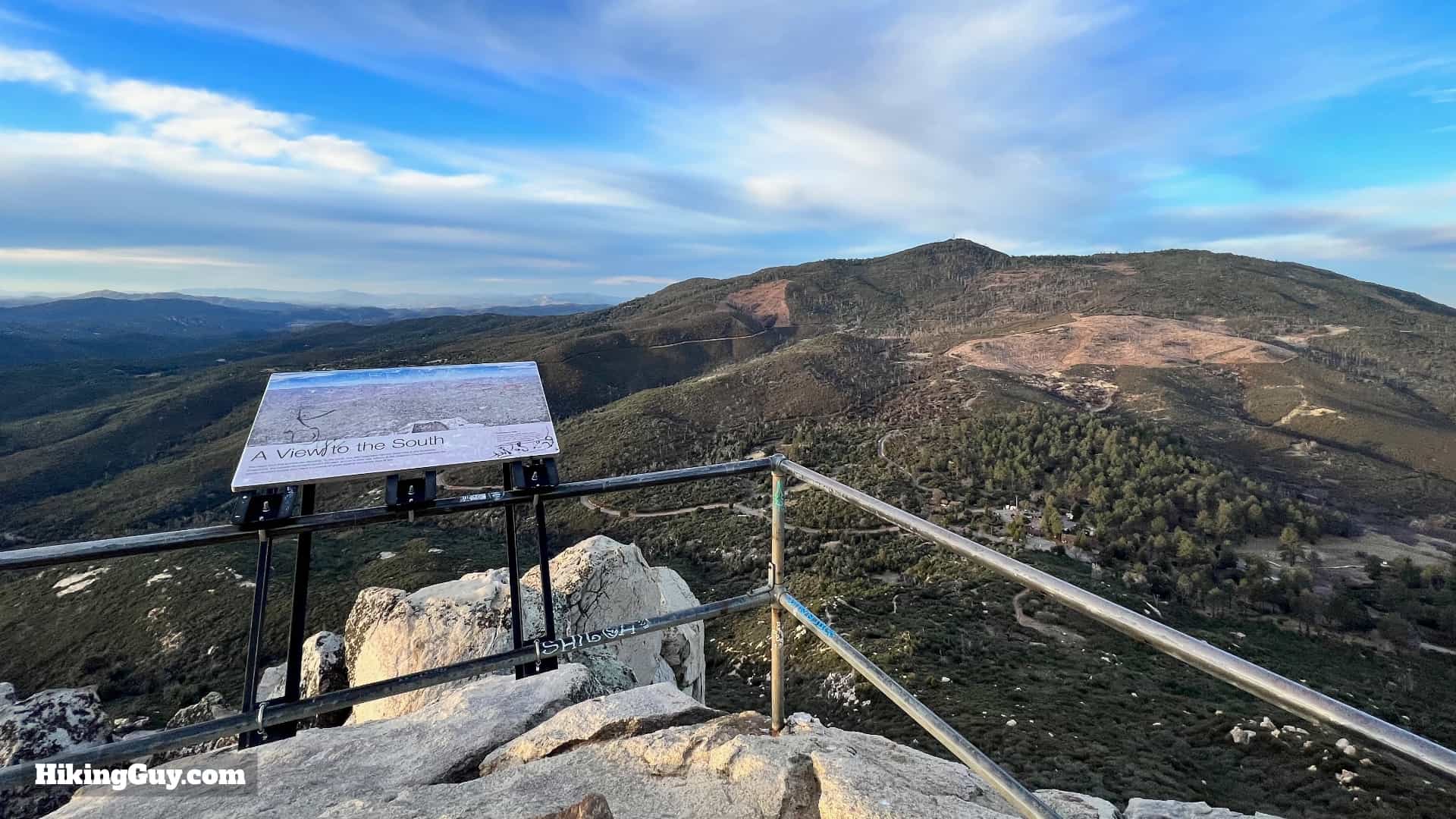
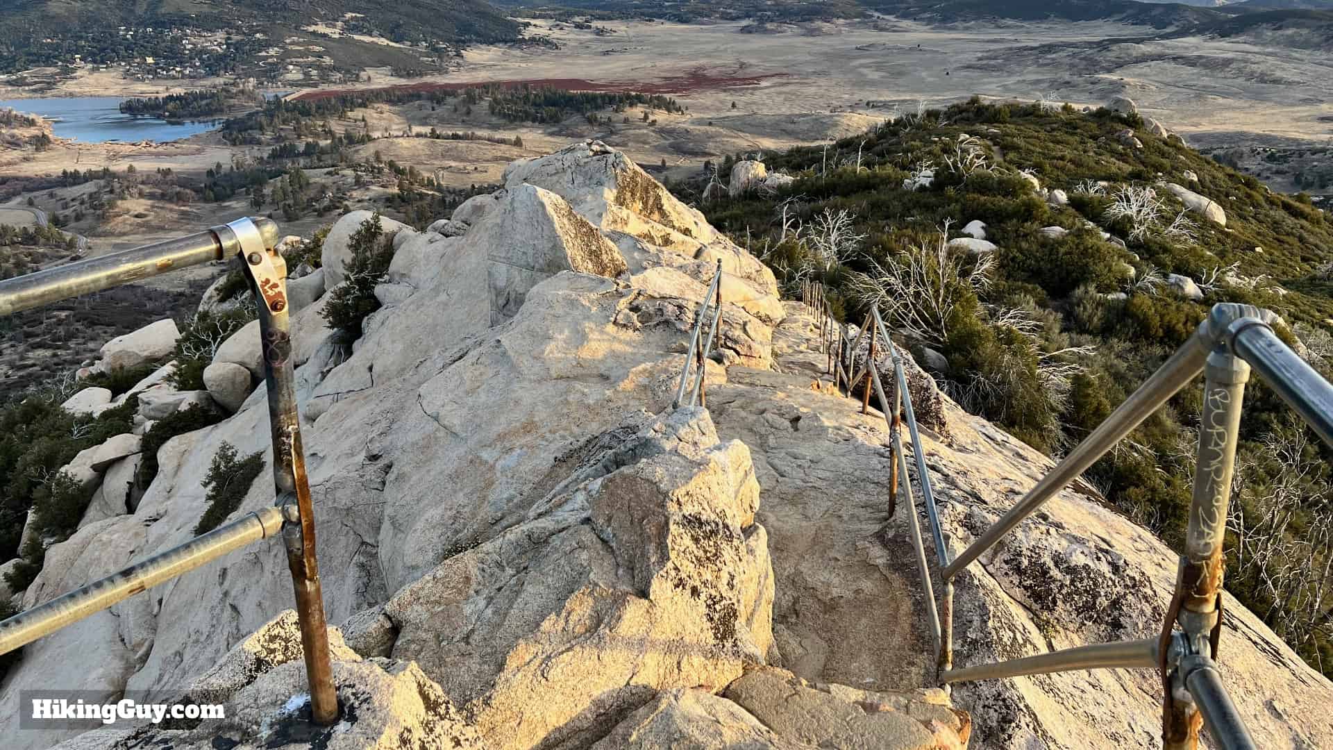
It's easy to see why the Stonewall Peak Trail is the most popular hike in Cuyamaca Rancho State Park. It's a climb, but not too tough. And at the top, there's a unique bald granite summit that offers panoramic views of high peaks, lakes, and desert. The hike is a relatively short out-and-back, but if you want to make it a nice loop with views of Lake Cuyamaca, I have directions for that too.

Where is the Stonewall Peak Trail?

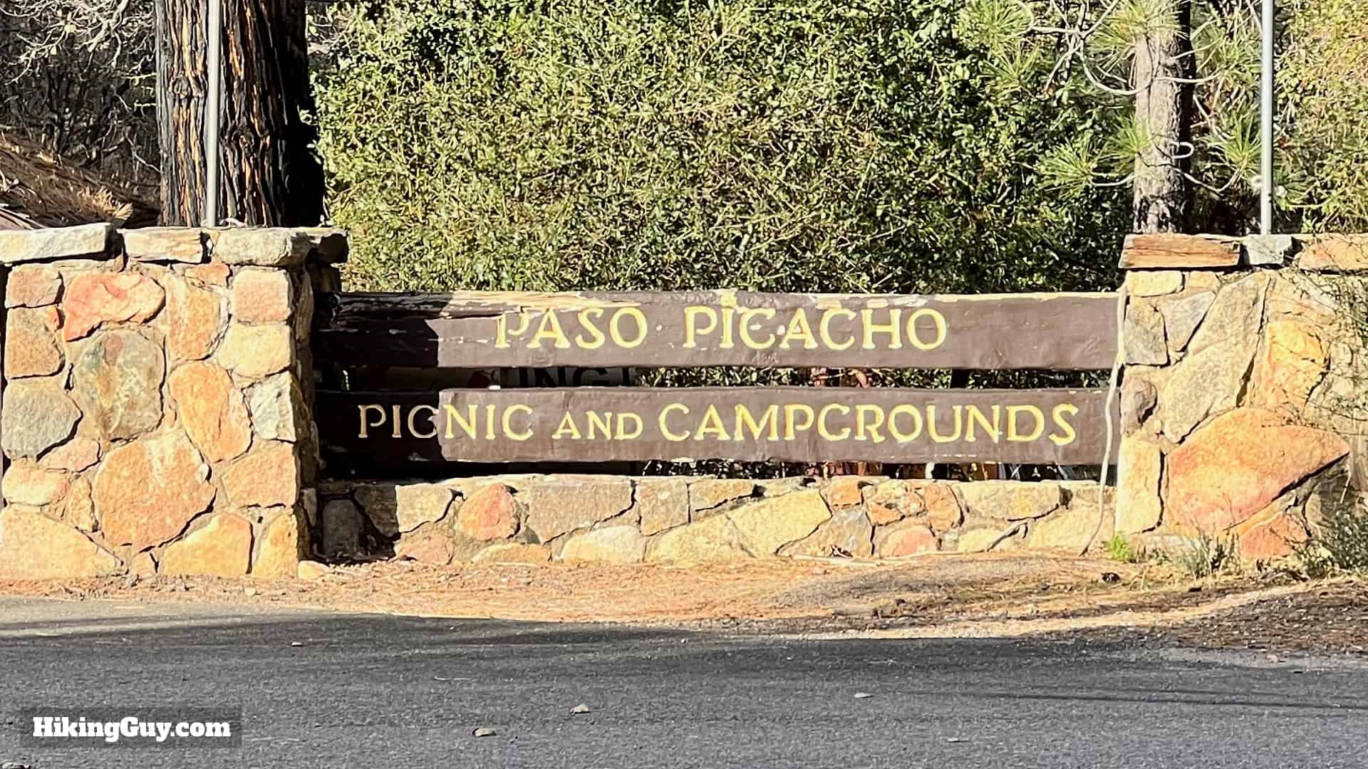
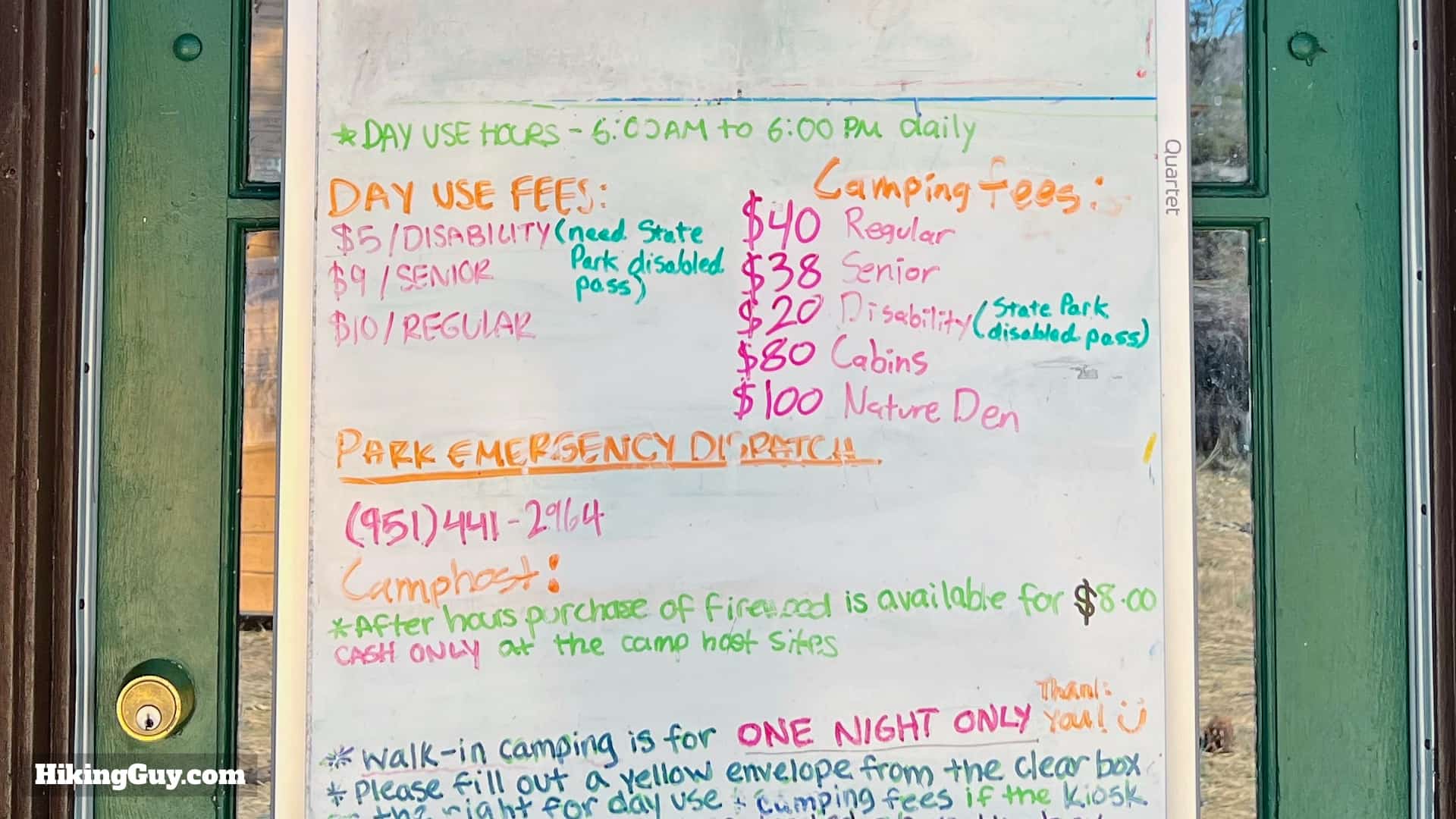
The Stonewall Peak Trail is in Cuyamaca Rancho State Park, and there's an entry fee. Park in the campground day use lot, and then cross the street to start the hike. Use this GPS address to get to the trailhead:
Paso Picacho Campground, Julian, CA, 92036, USA.

Stonewall Peak Hike Update 2
Look for the campground on the side of the road. The space along the road is all "no parking," you have to use the campground or else park further away.
Cuyamaca Peak Hike Loop 3
When you pull into the campground, make the first right to enter the day-use parking area.
Cuyamaca Peak Hike Loop 4
There's an entry fee for the park, or you can get in with your California State Parks pass.
Cuyamaca Peak Hike Loop 5
The lot is large but does get popular on weekends. If it's full, ask the entry attendant where to park.
Cuyamaca Peak Hike Loop 6
The parking area has bathrooms, a water fountain, and picnic tables.

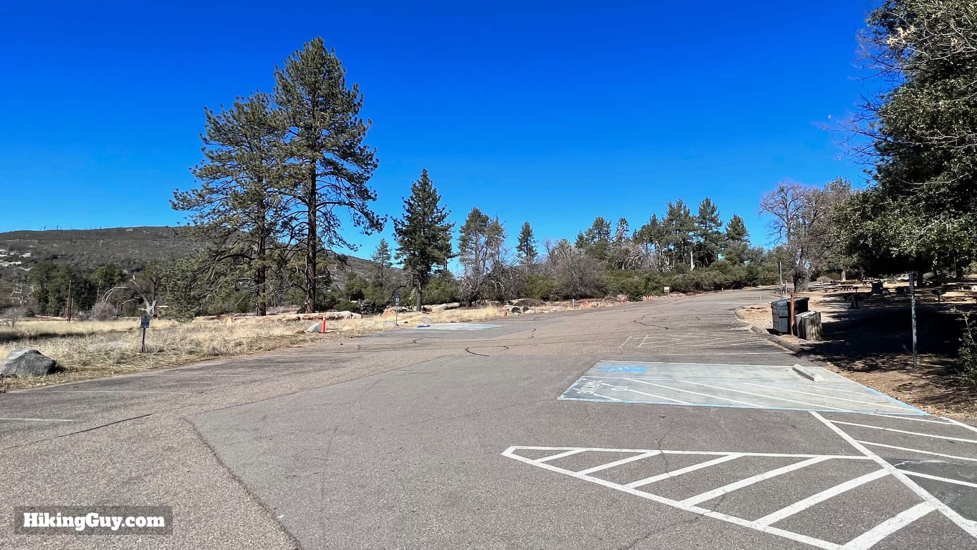
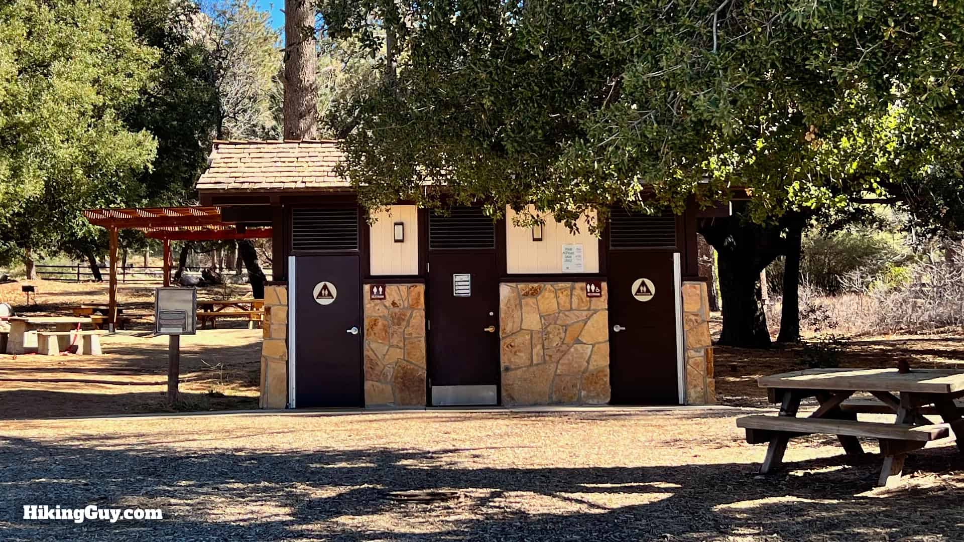
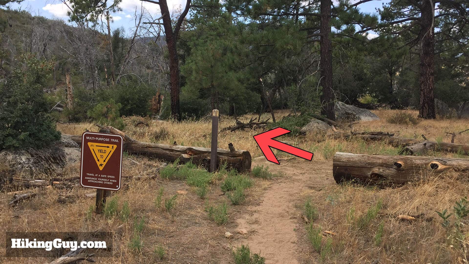
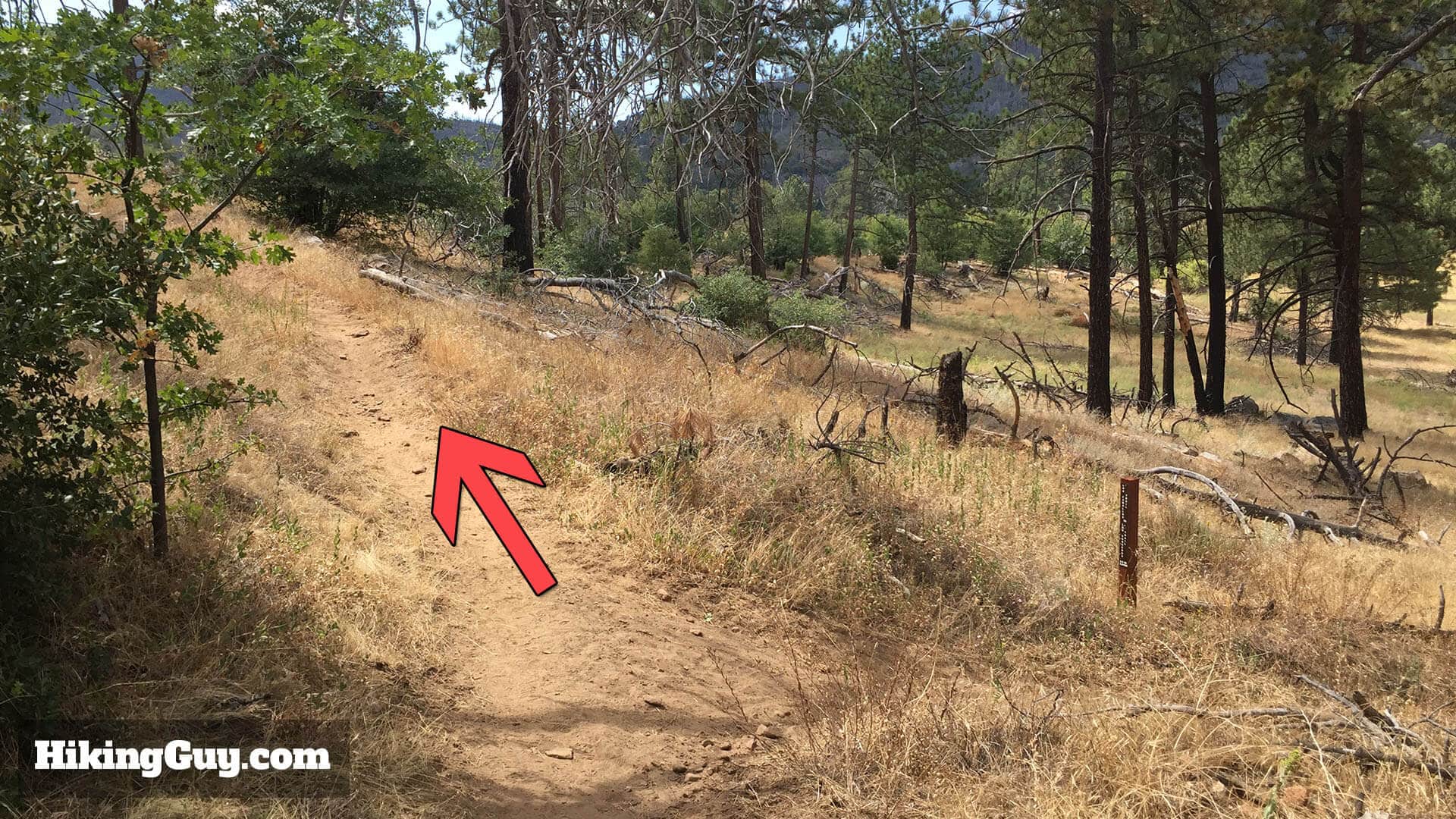
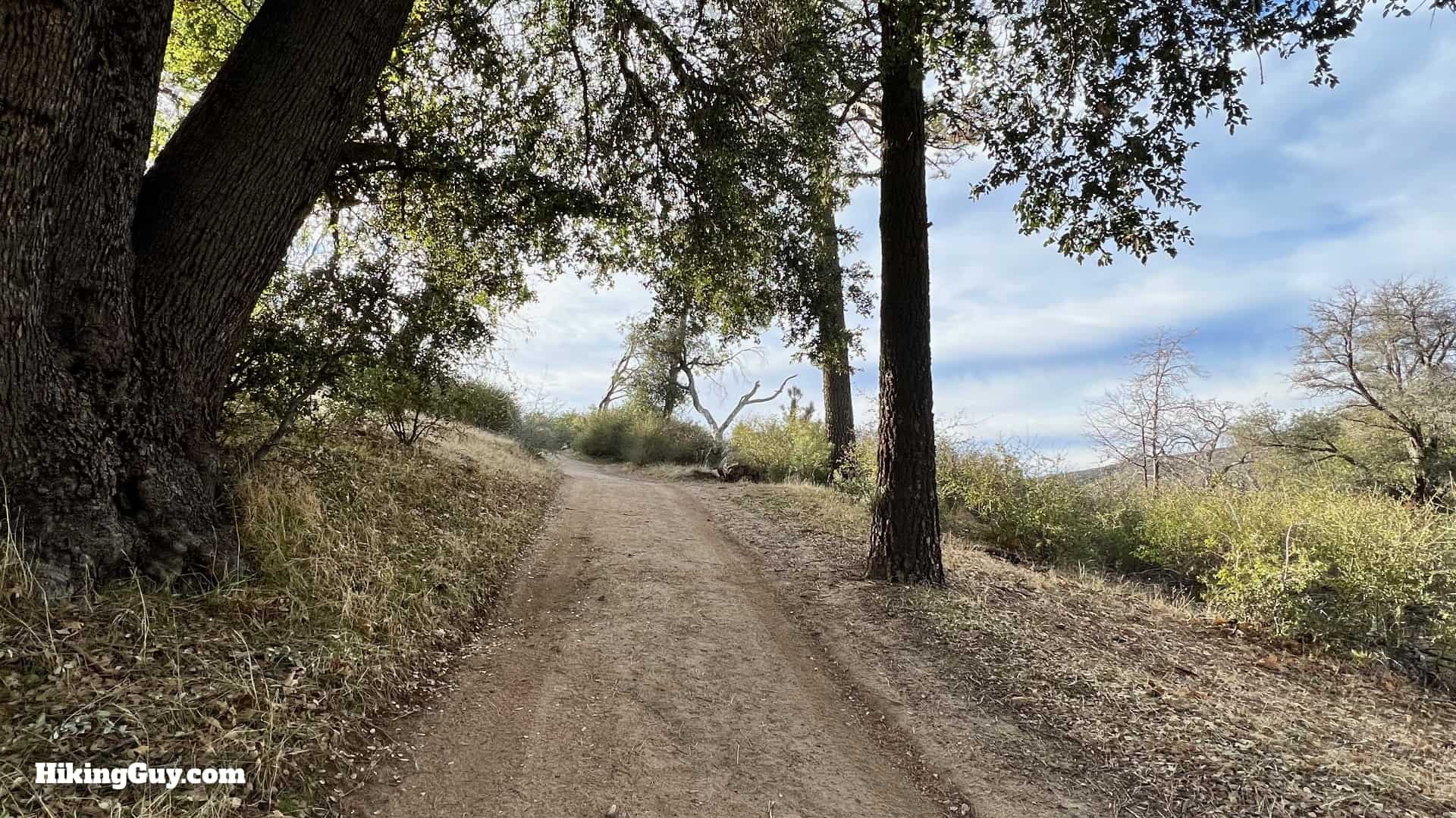
To start the hike, go back to the campground entrance and cross the street.

Gear For the Hike

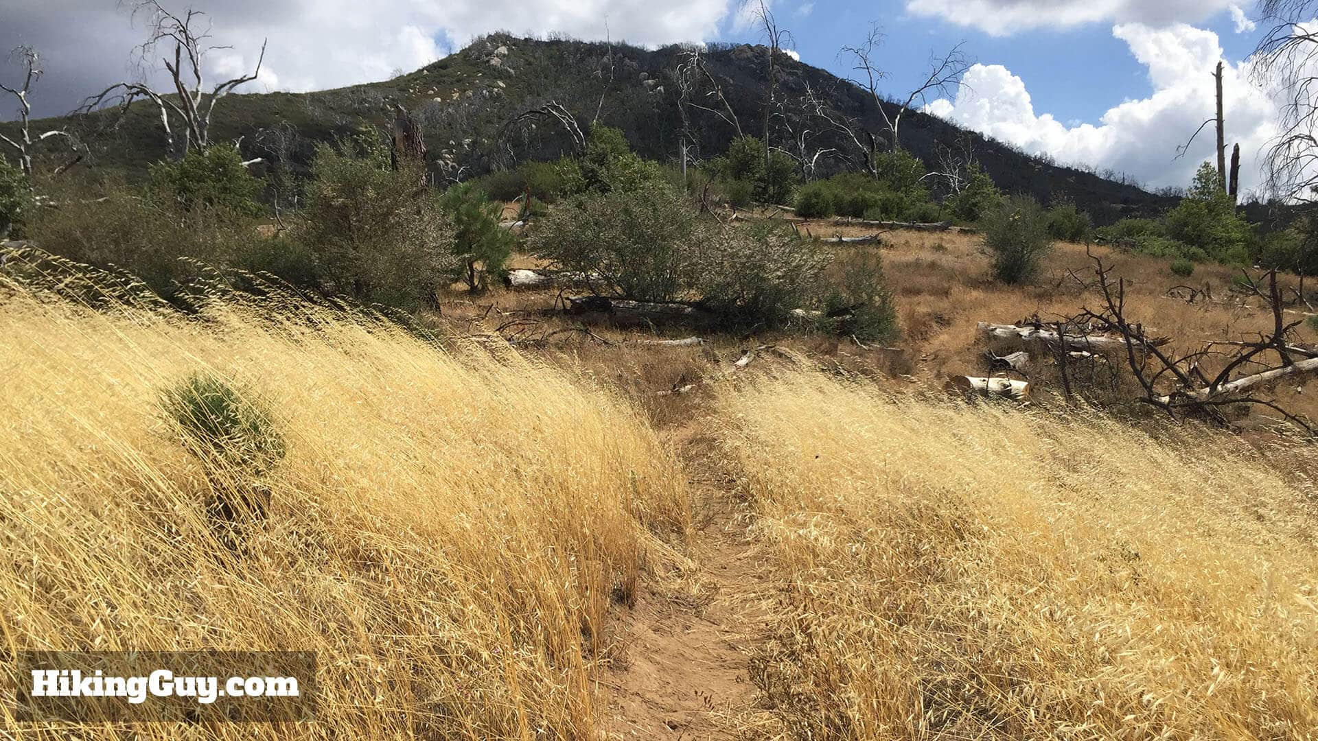
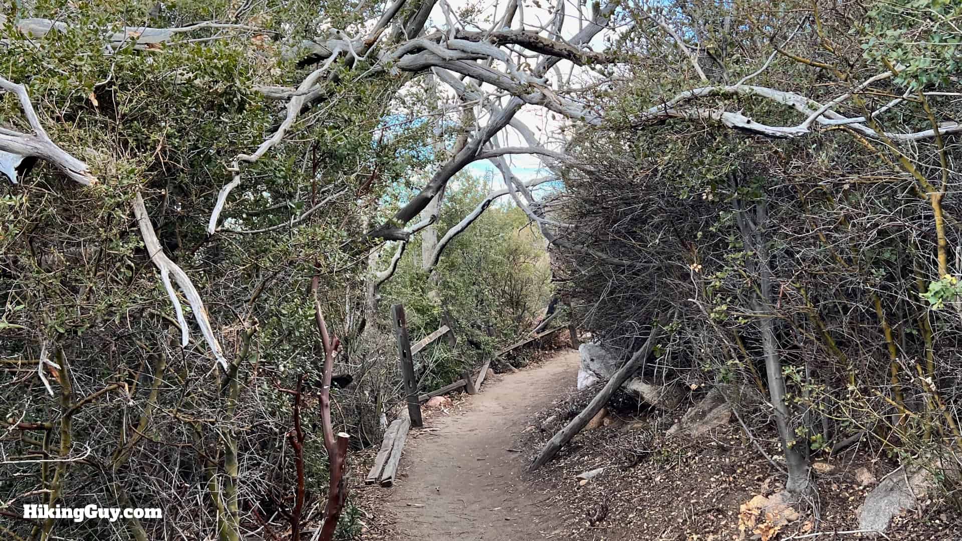
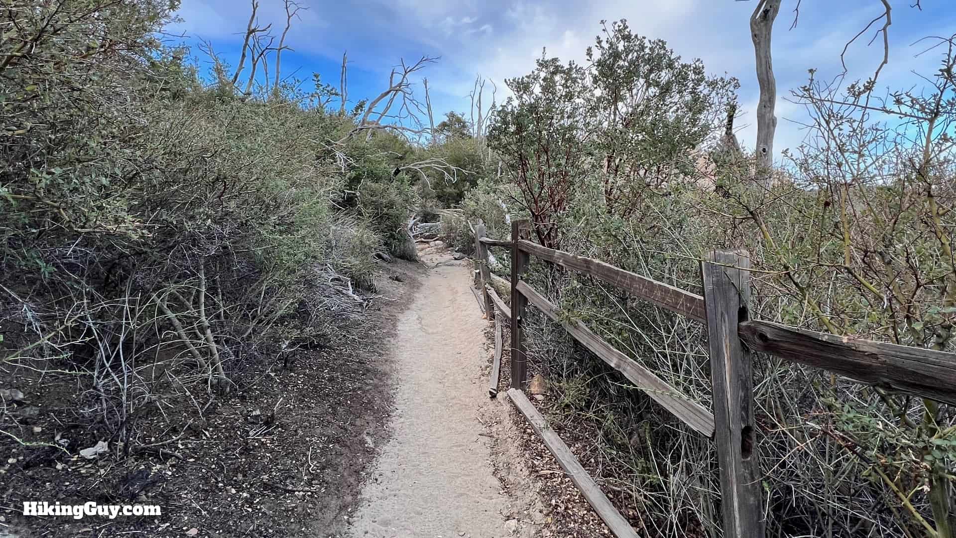
The trail is well maintained, gradual, and easy to follow, and you don't need any special gear to hike Stonewall. Most people do it in fitness clothes or light hiking gear. It can get very hot in the summer, and there's occasional snow in the winter. Bringing 1L of water is a smart move.

Gear I Love Right Now

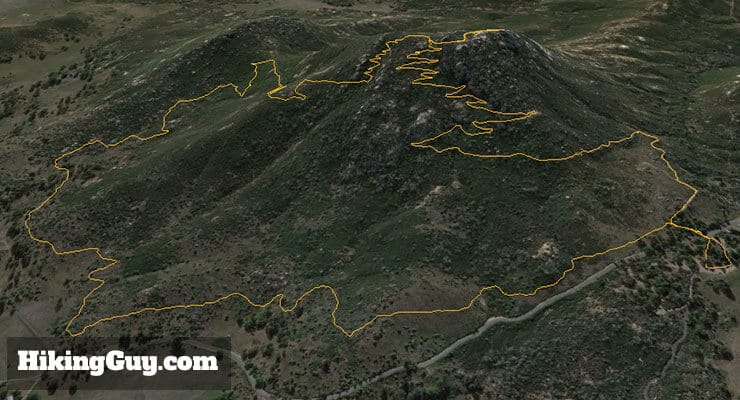
Stonewall Peak Trail Maps

Stonewall Peak Hike Update 1
Look for trail markers like this along the way.

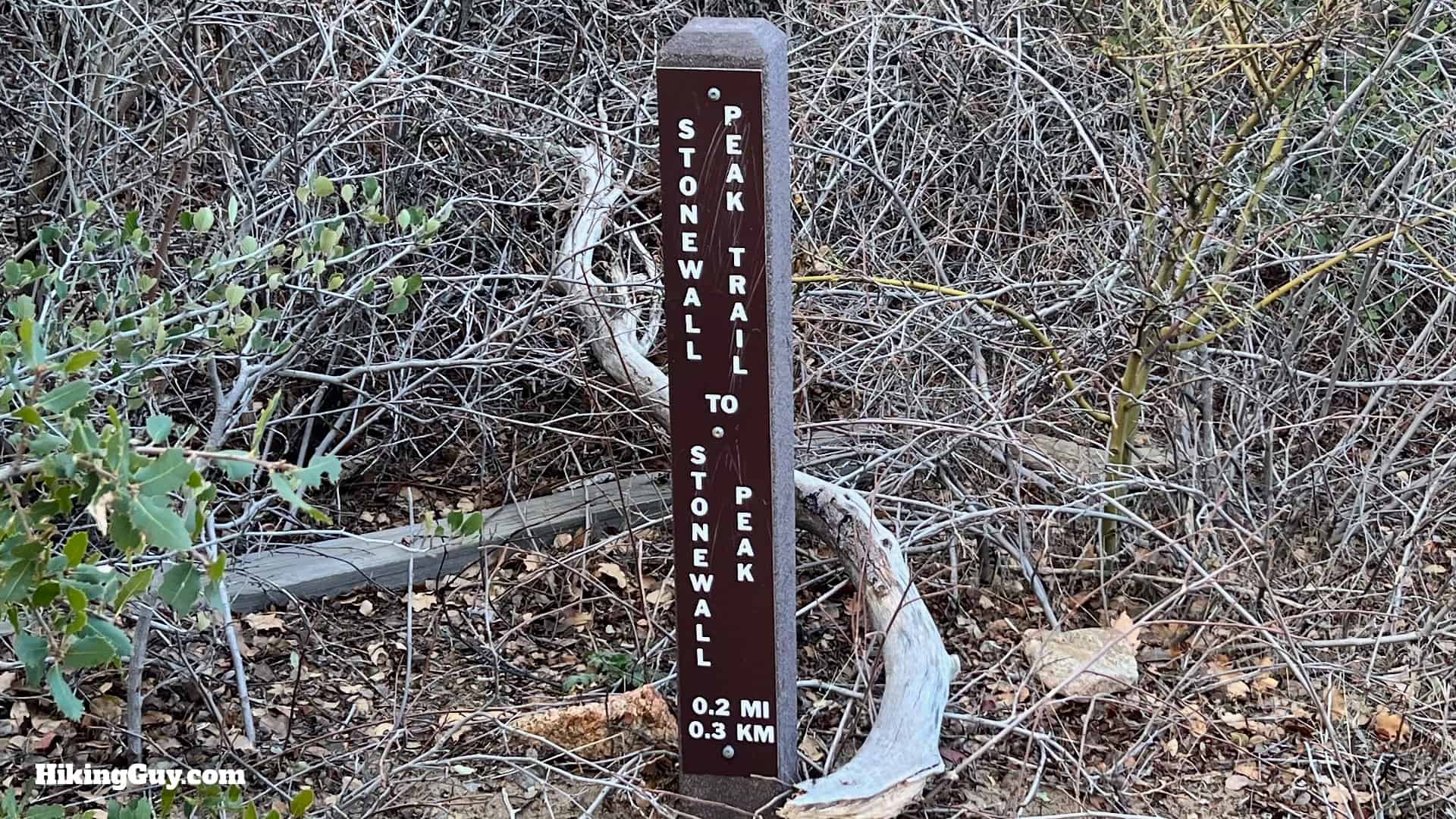
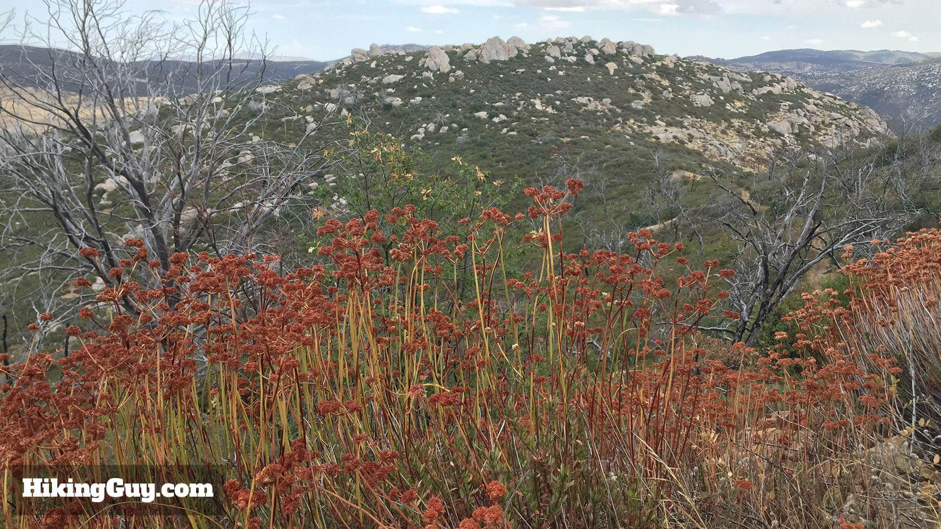
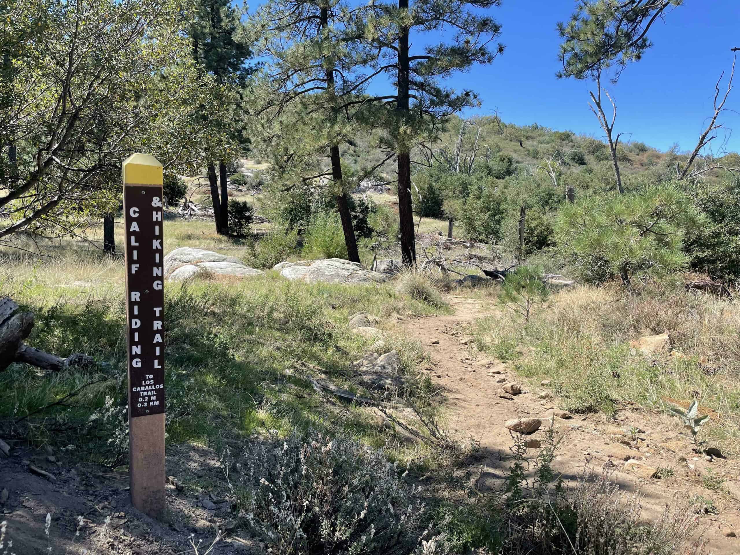
The hike to the summit of Stonewall Peak is a standard out and back. I've also included an optional loop back that adds an additional mile to the hike but brings you on some quieter trails with nice views of Lake Cuyamaca and the peaks to the north.
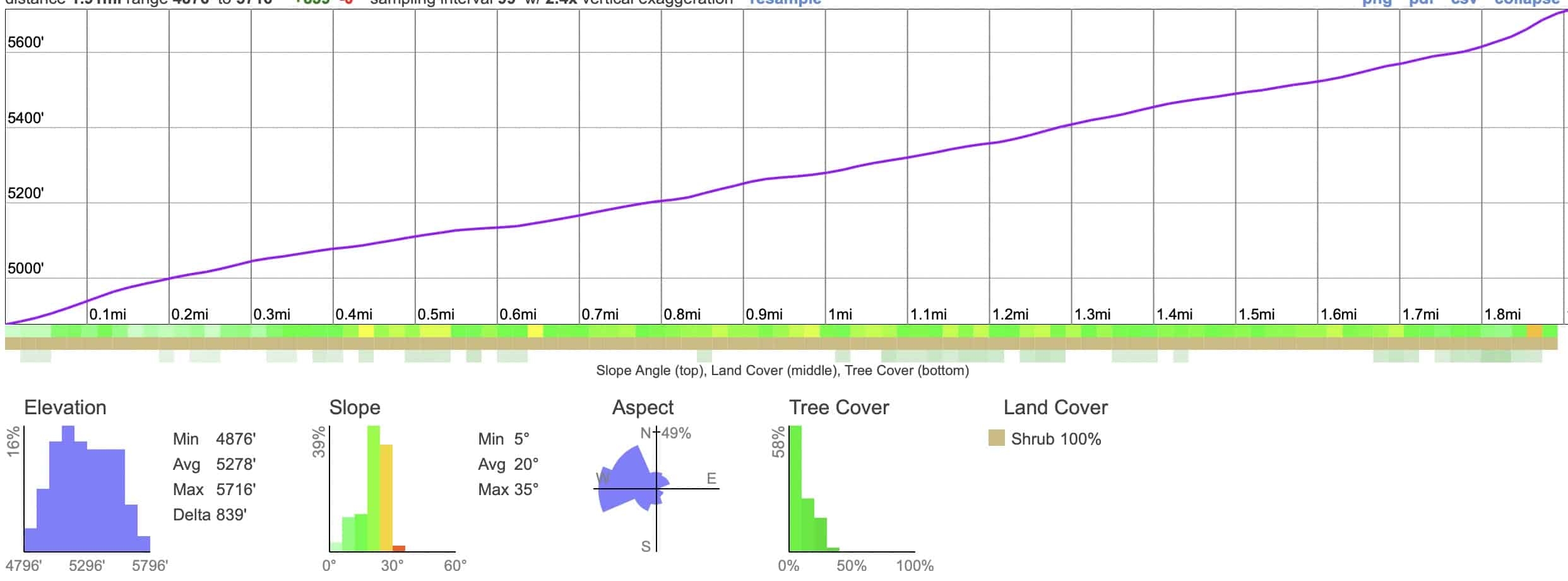
Click to activate map
CalTopo
Print Map, Work With It Yourself
GPX
Bring the Guide to Any GPS

Elevation Profile

Stonewall Peak Trail Update Elevation
It's a pretty gradual and steady climb to the top. Switchbacks help make the climb more manageable.

3D Map

Stonewall Peak Trail 3d Map
The pink line is the main trail. You can clearly see the switchbacks from this view. The dark blue line is the alternate return loop.

Why Is It Called Stonewall Mountain?

Stonewall Mine Historic
The simple answer is that it was named after the Stonewall (gold) Mine, which you can visit the remains of today. Here's what it looked like in its heyday, 1885. Photo San Diego Historical Society
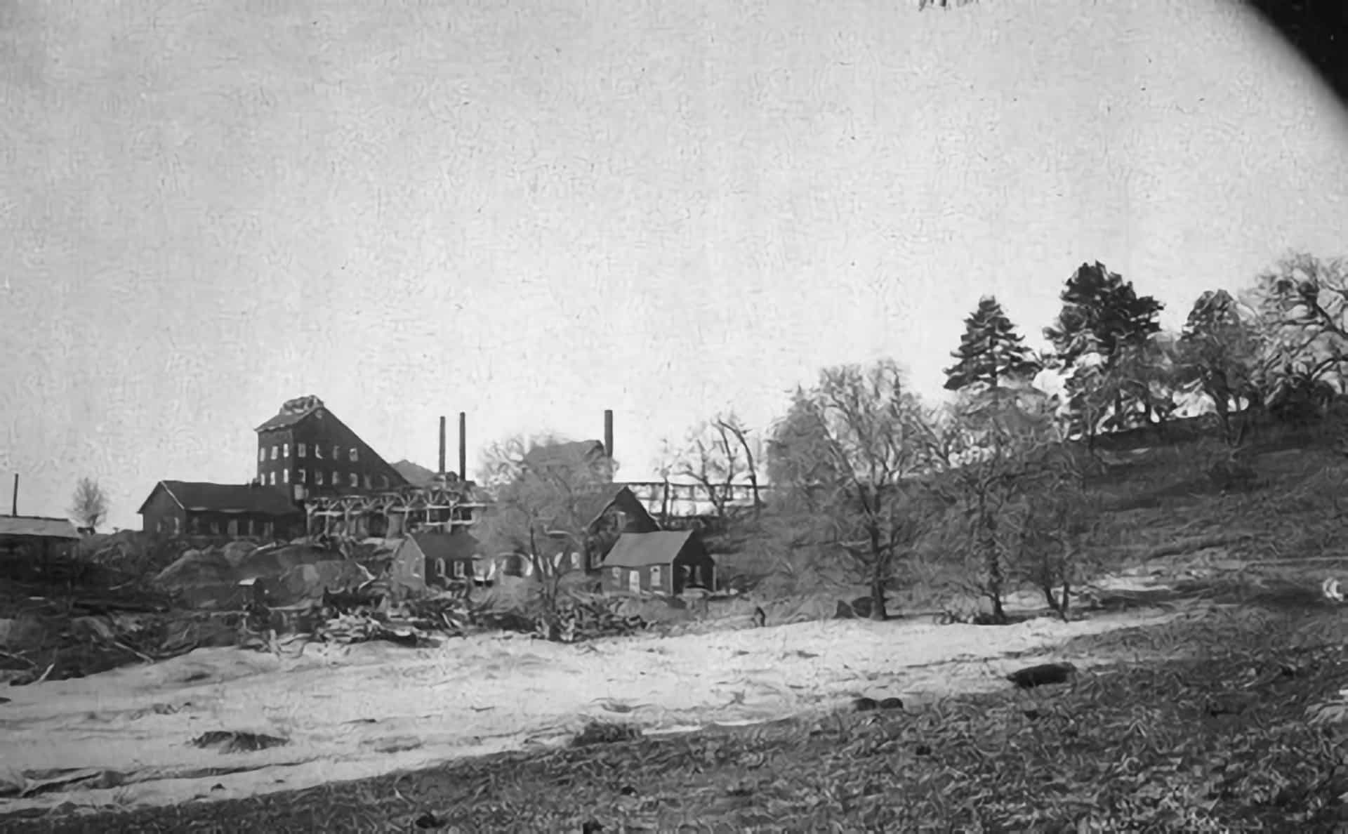
  • Gold was discovered in this area in 1869 by a former slave, Frederick Coleman.
  • The town of Julian emerged as a wild-west frontier gold town around this discovery.
  • This part of Southern California had a lot of Confederate sympathizers at the time. The town of Julian is named after cousins who moved here from Georgia after serving in the Confederate army.
  • After the Civil War many Confederate soldiers relocated to this remote area, seeking anonymity and solitude.
  • The Stonewall Mine, originally called the "Stonewall Jackson Mine," was named by the guy who discovered it, a Confederate sympathizer from Tennessee. Nearby landmarks like Stonewall Mountain were named after the prominent mine.
  • Who knows if it will be continued to be called Stonewall Peak? I guess we'll see.

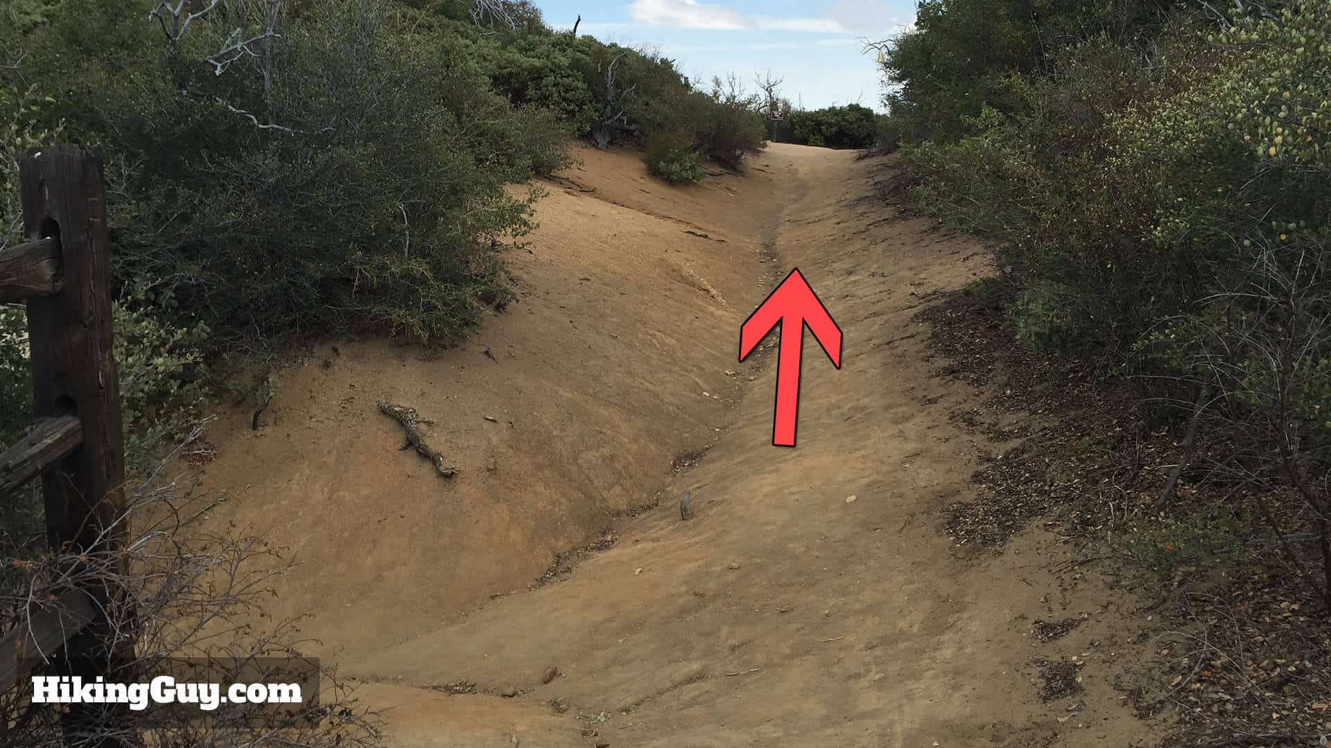
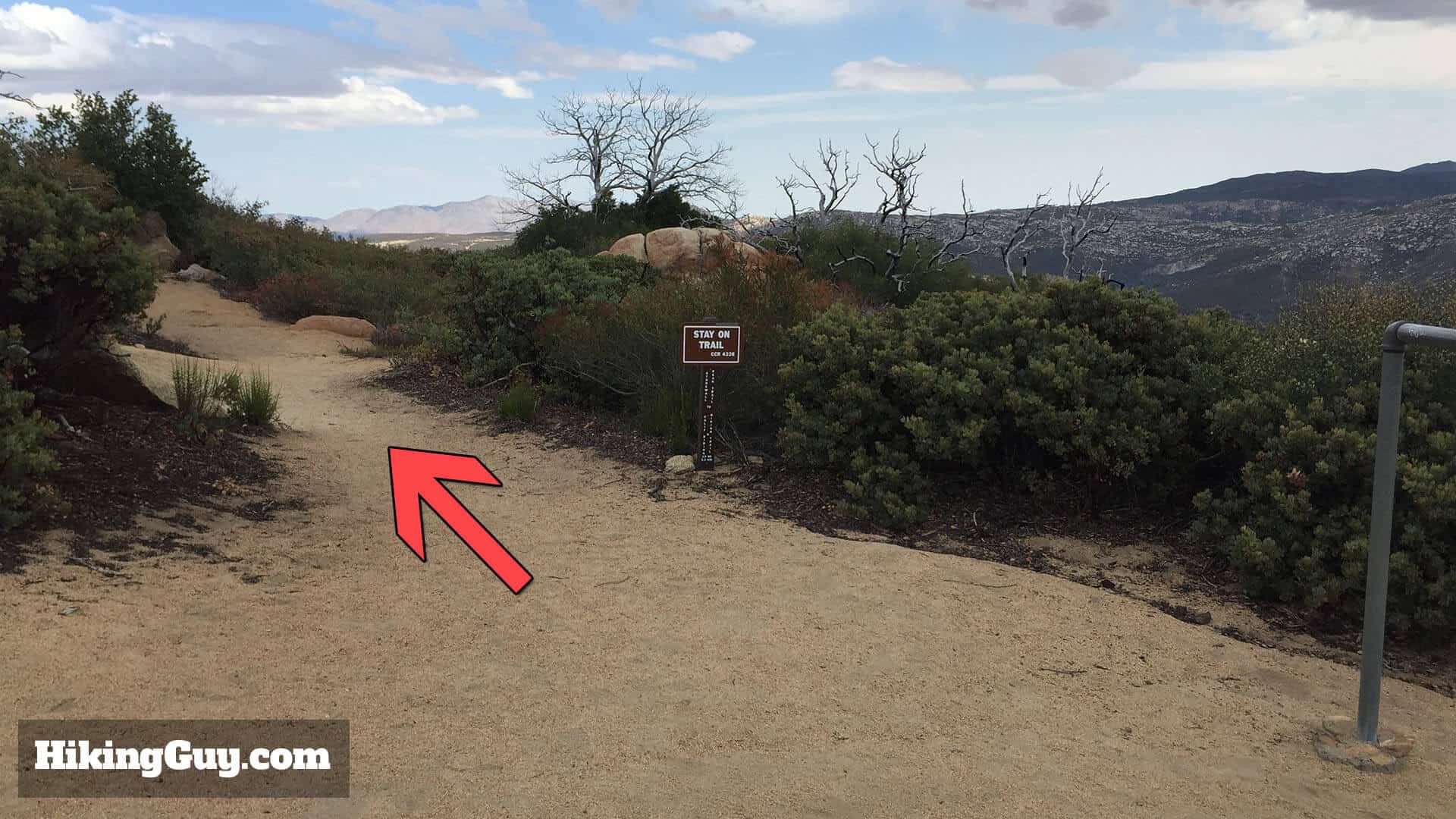
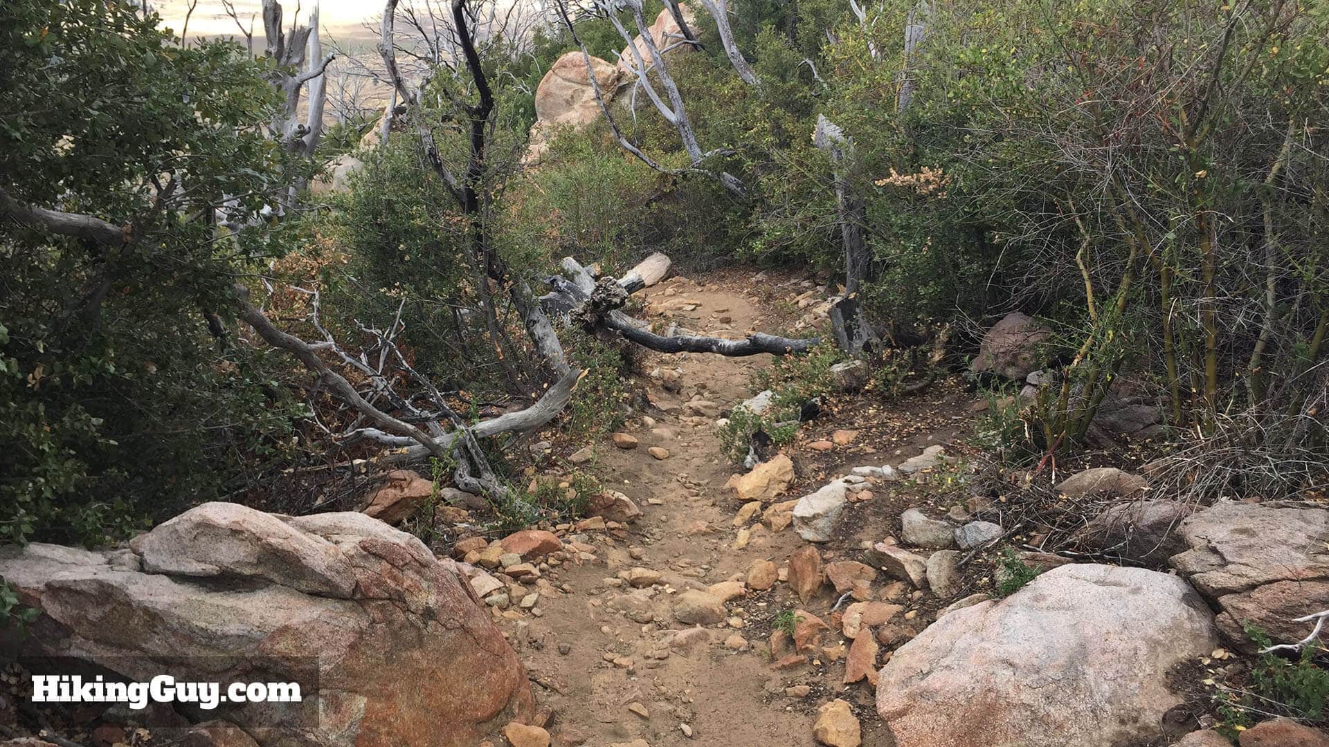
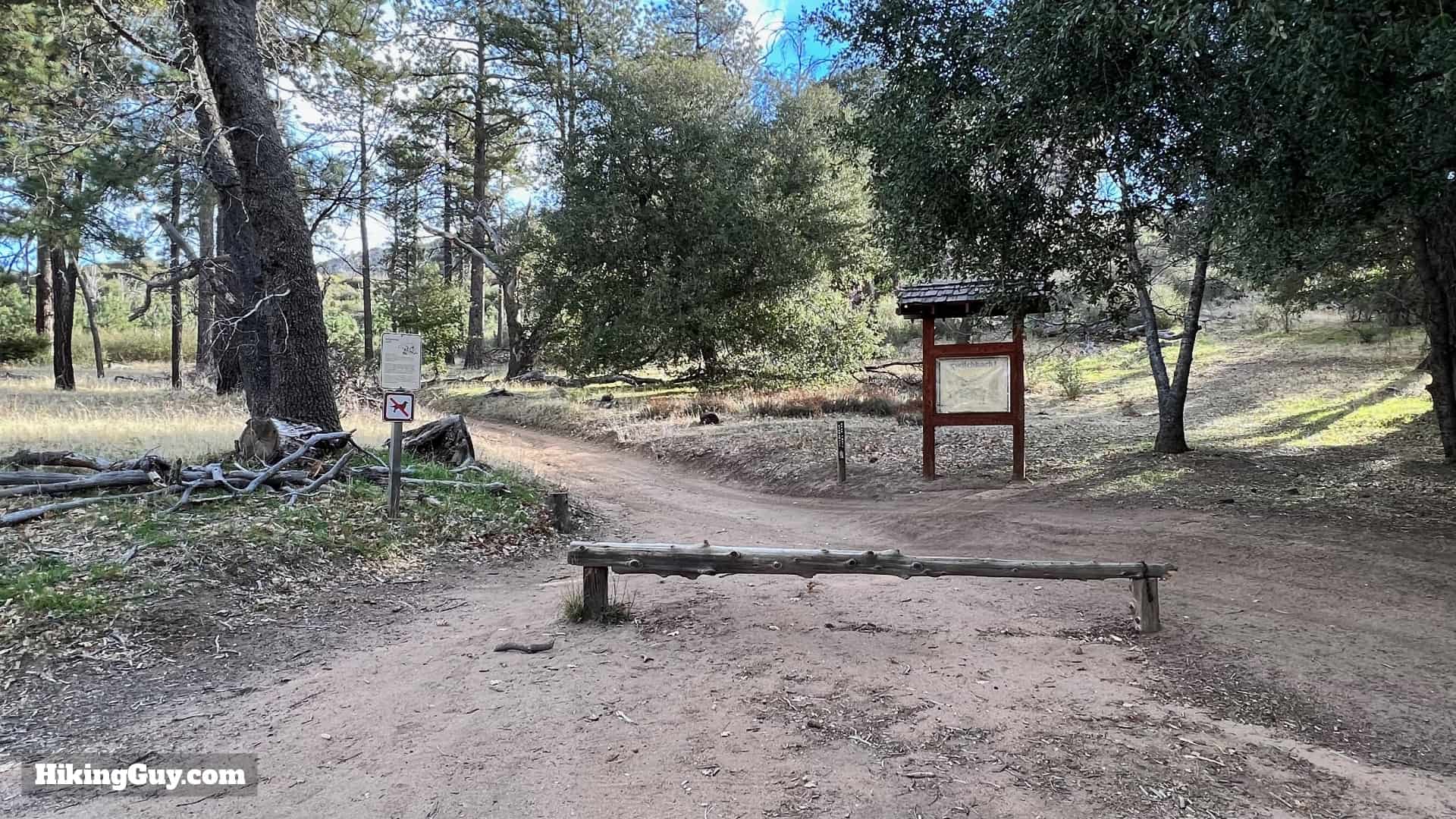
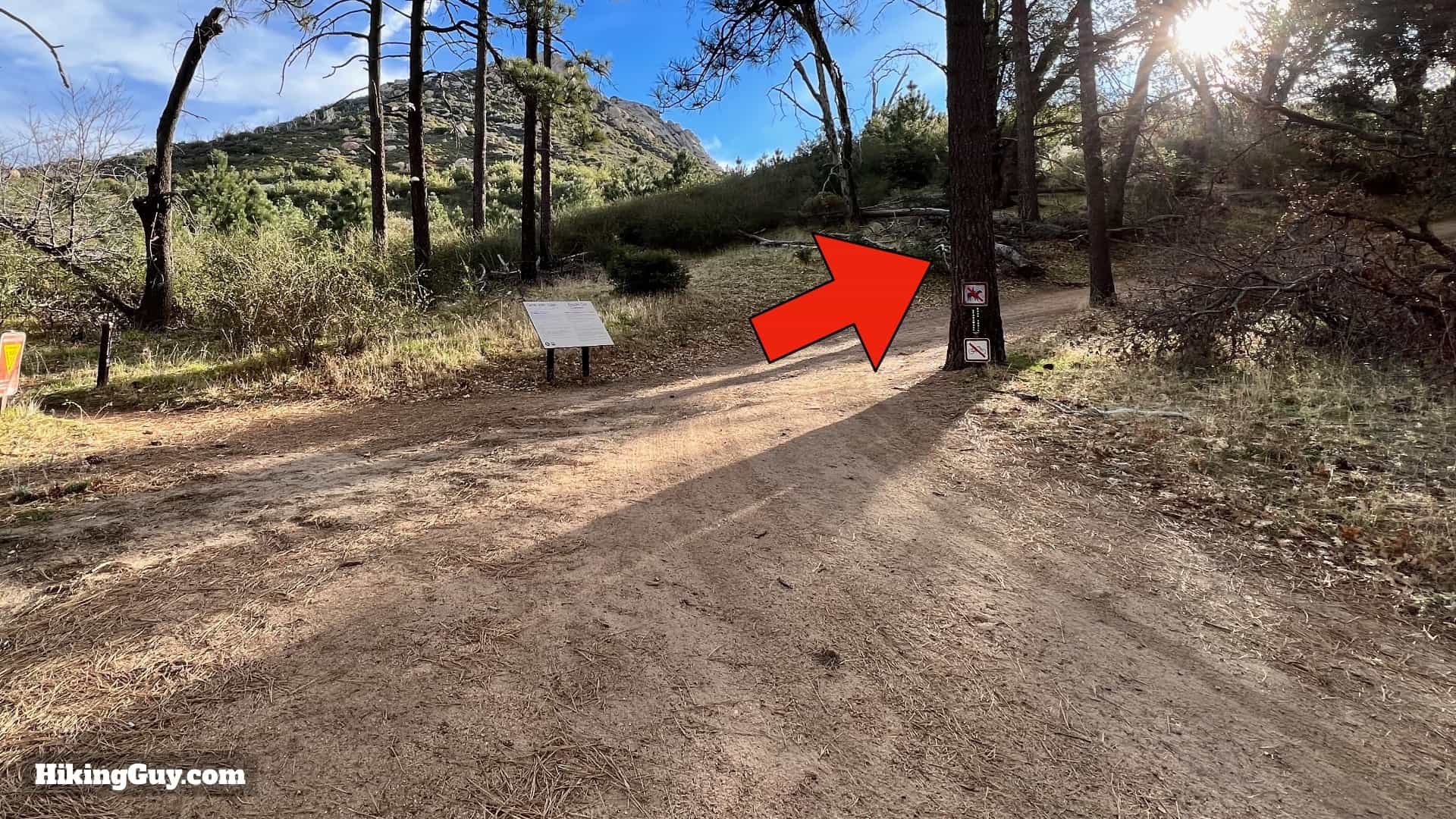
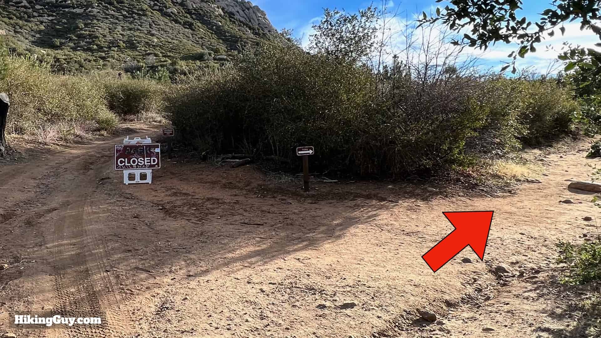
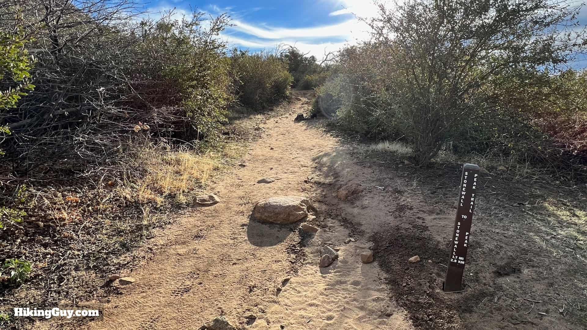
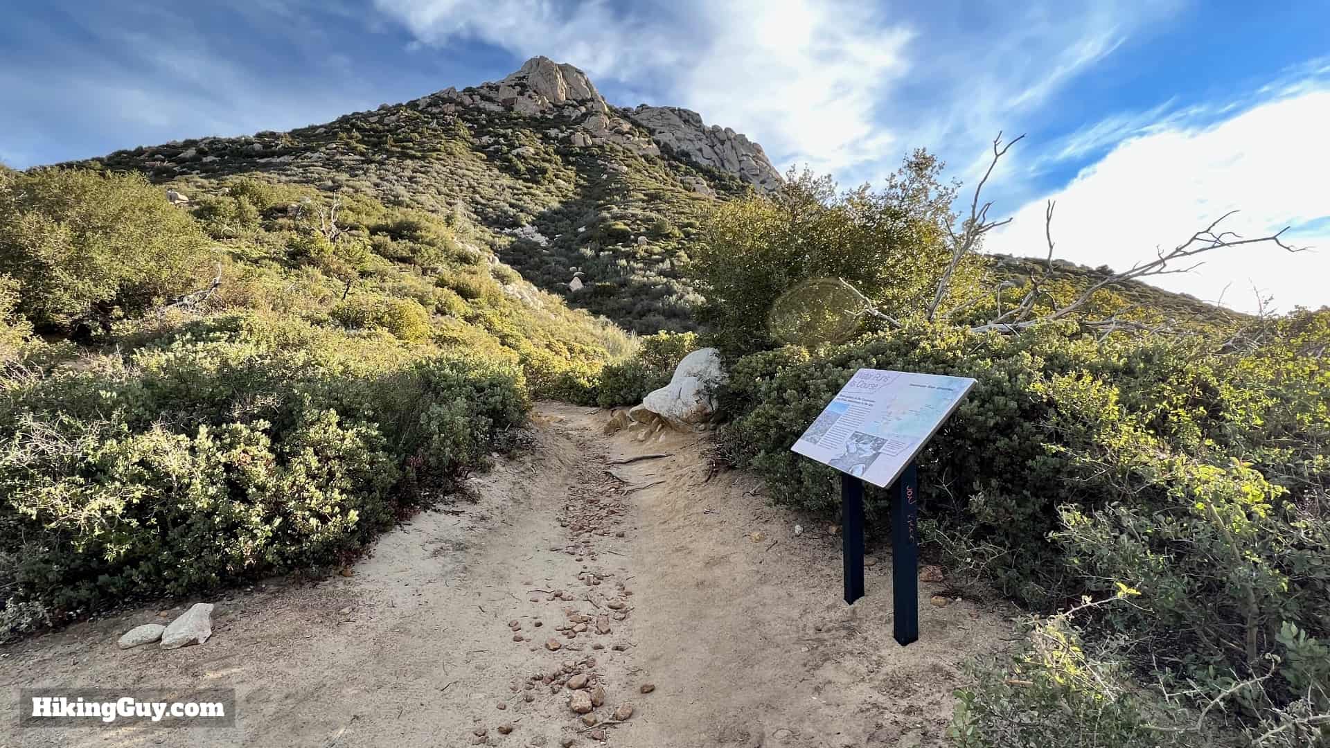
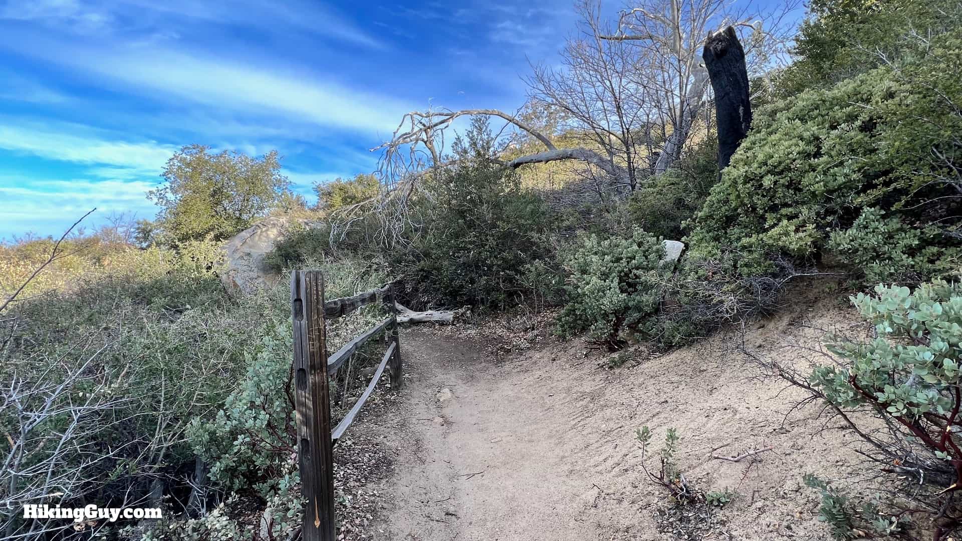
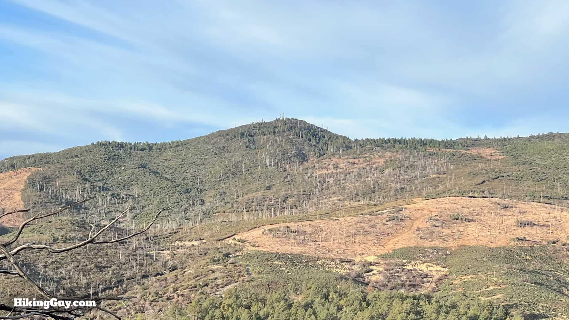
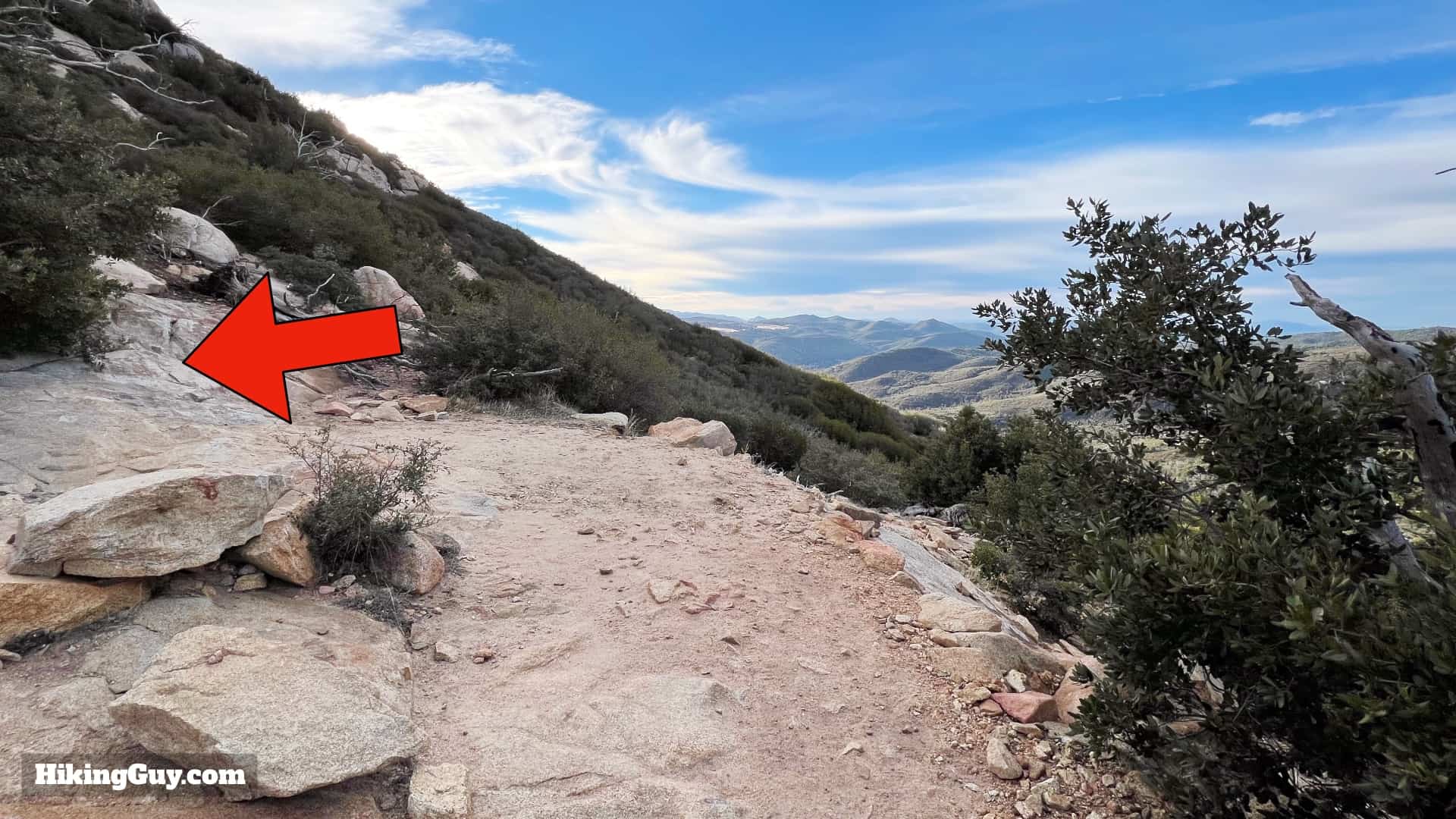
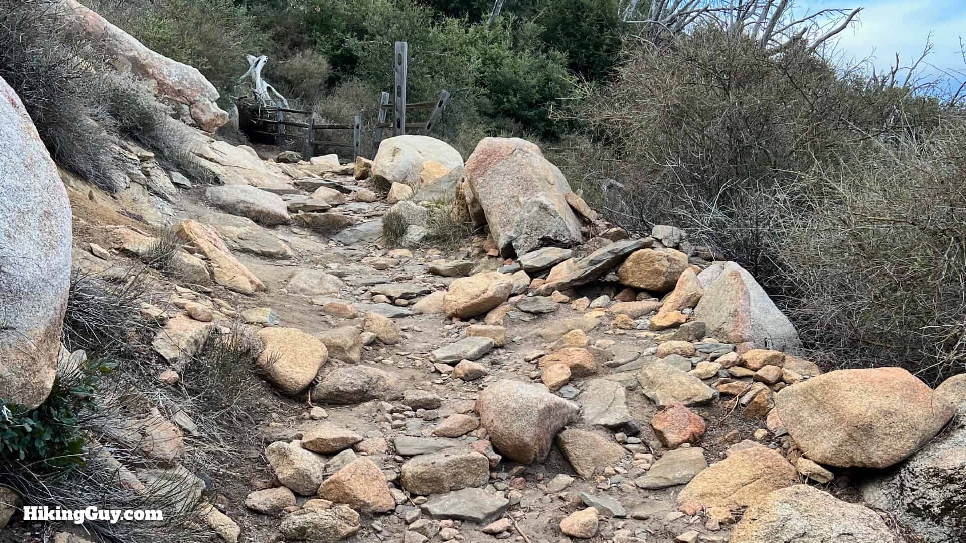
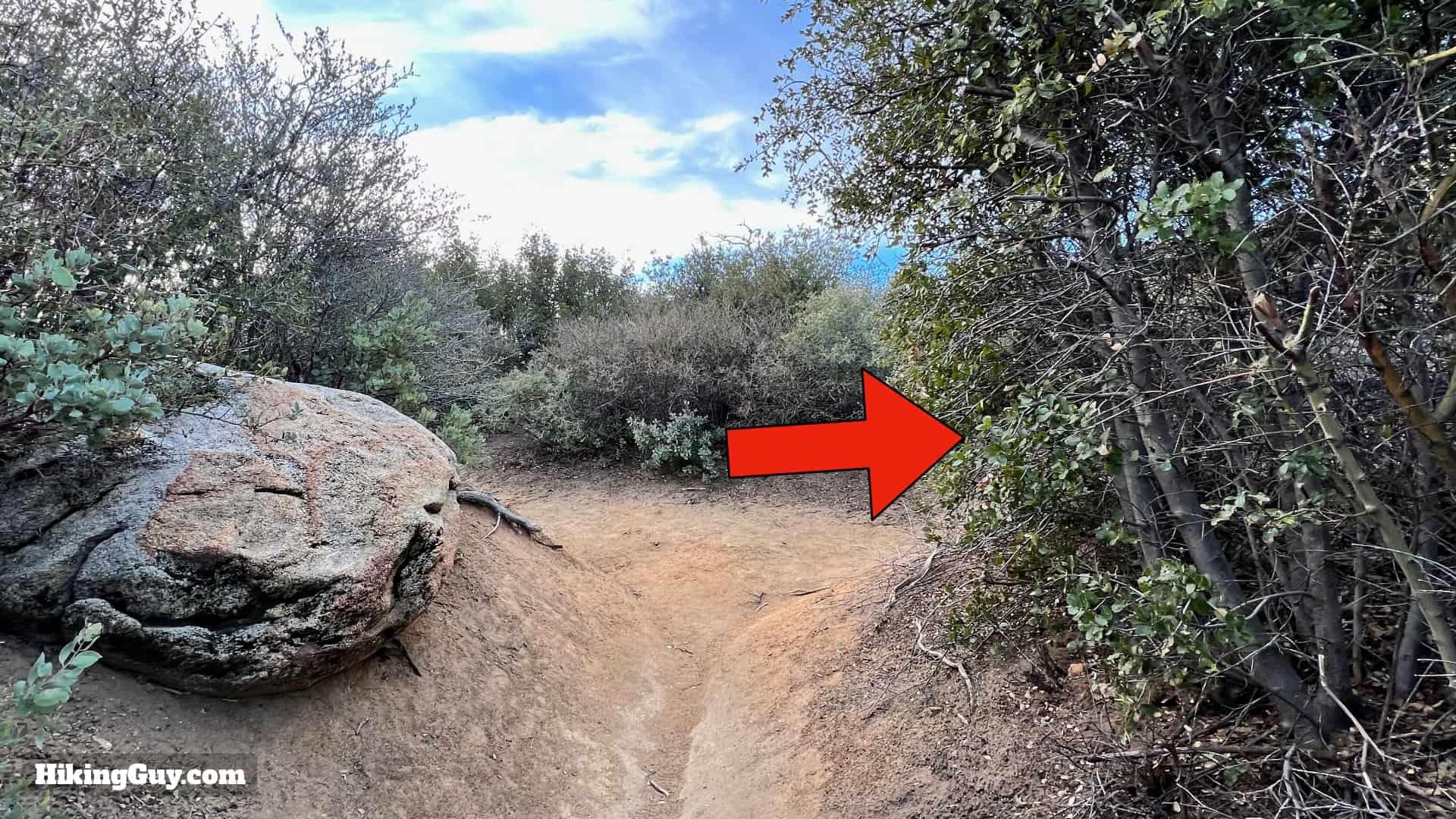
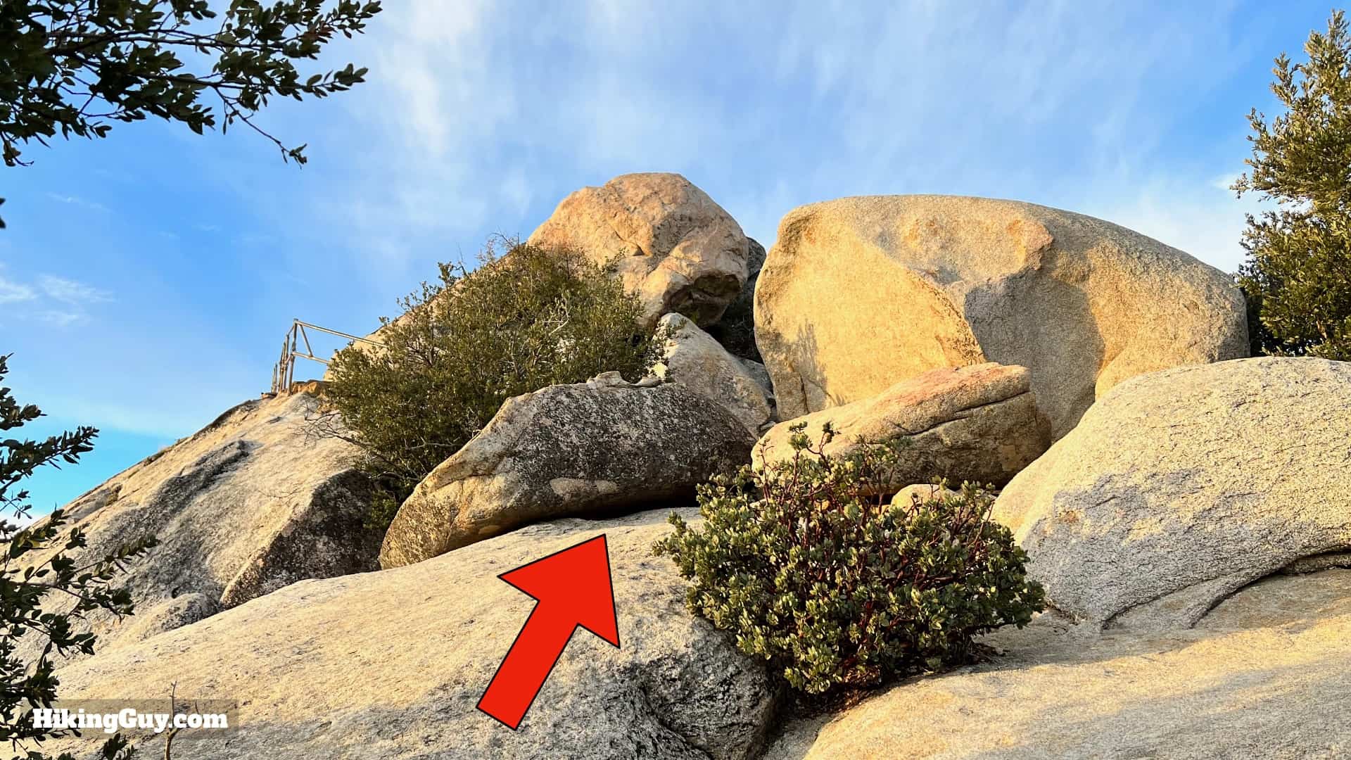
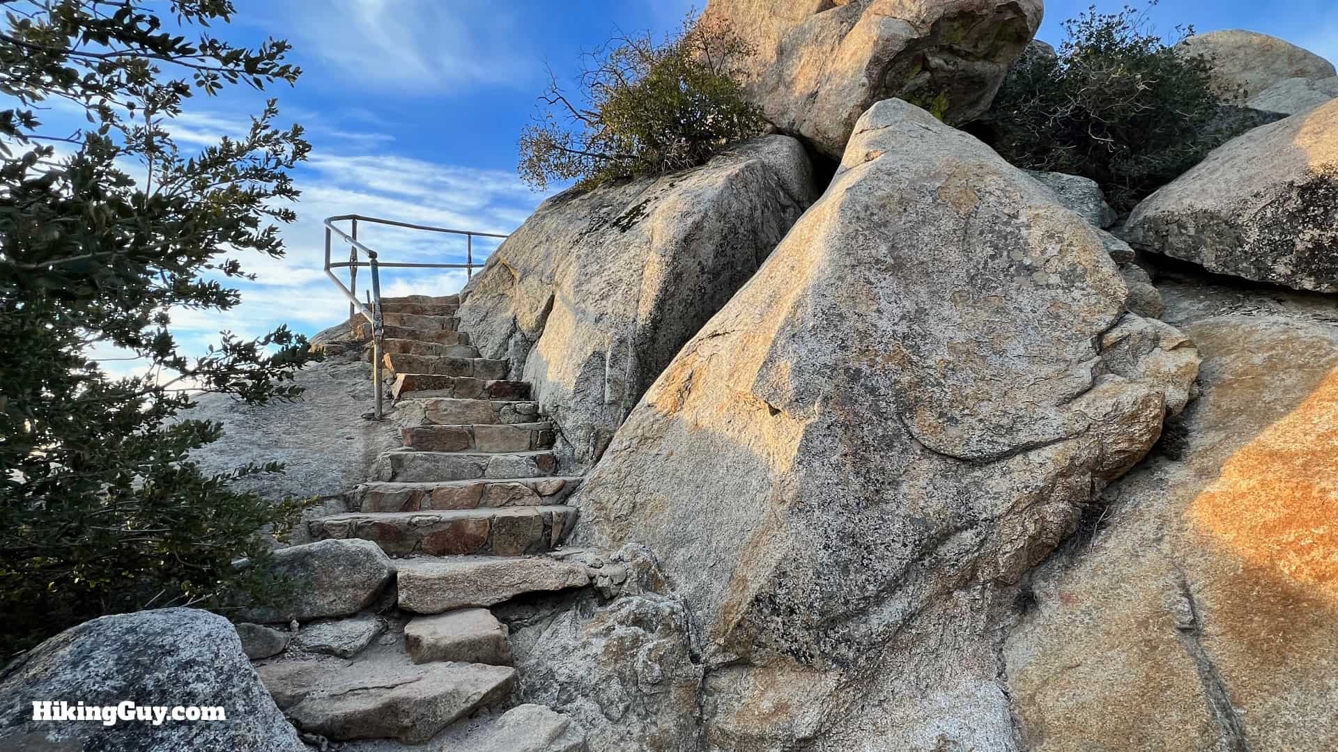
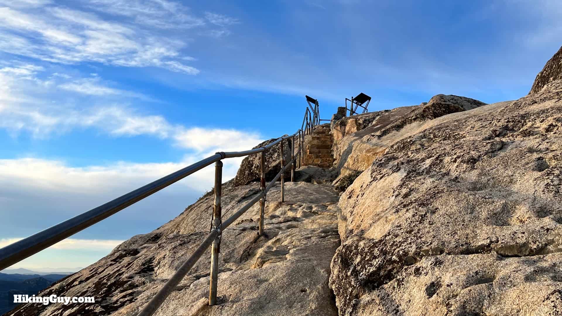
Stonewall Mountain Hike Directions

Stonewall Peak Hike Update 3
The trailhead is directly across the street from the campground entrance.
Stonewall Peak Hike Update 4
Right after starting there is a trail junction. Hike right up the wide dirt road.
Stonewall Peak Hike Update 5
Hike uphill on the road. This is probably the steepest part of the whole route.
Stonewall Peak Hike Update 6
When you see the trail closed sign, make the hard right.
Stonewall Peak Hike Update 7
Now you're on a singletrack. There's also a trail sign at the junction.
Stonewall Peak Hike Update 8
As you wind your way on the trail, Stonewall Peak is in front of you.
Stonewall Peak Hike Update 9
And when you see the fences, you're starting the switchbacks. There's about 20 of them altogether.
Stonewall Peak Hike Update 10
As you climb you get nice views of Cuyamaca Peak, the second-highest peak in San Diego County.
Stonewall Peak Hike Update 11
Keep an eye open for the switchbacks. Don't hike straight on a small false trail.
Stonewall Peak Hike Update 12
At some points the trail gets very rocky.
Stonewall Peak Hike Update 13
As you get to the second half of switchbacks, Lake Cuyamaca will come into view.

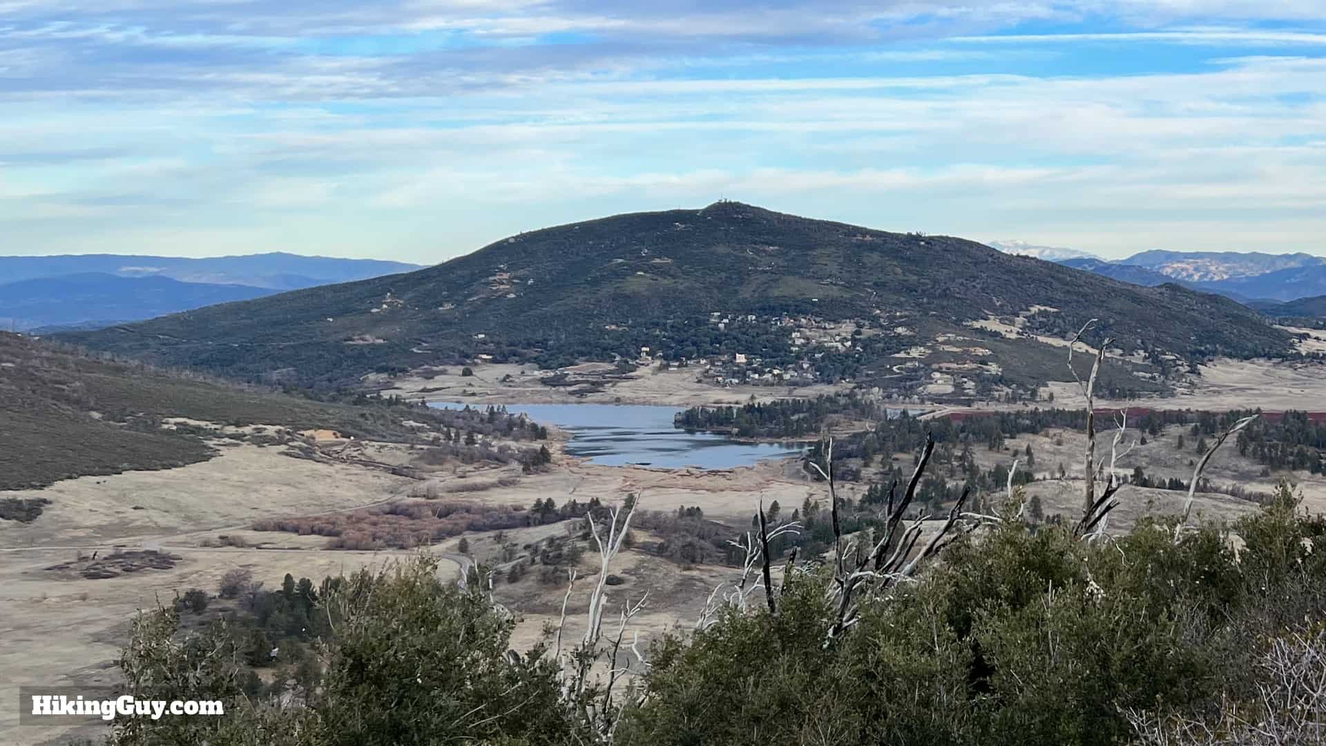
Lake Cuyamaca is manmade. The dam was built in 1888 and the lake supplied water to San Diego using wooden flumes. Today it still serves as a water source for San Diego.
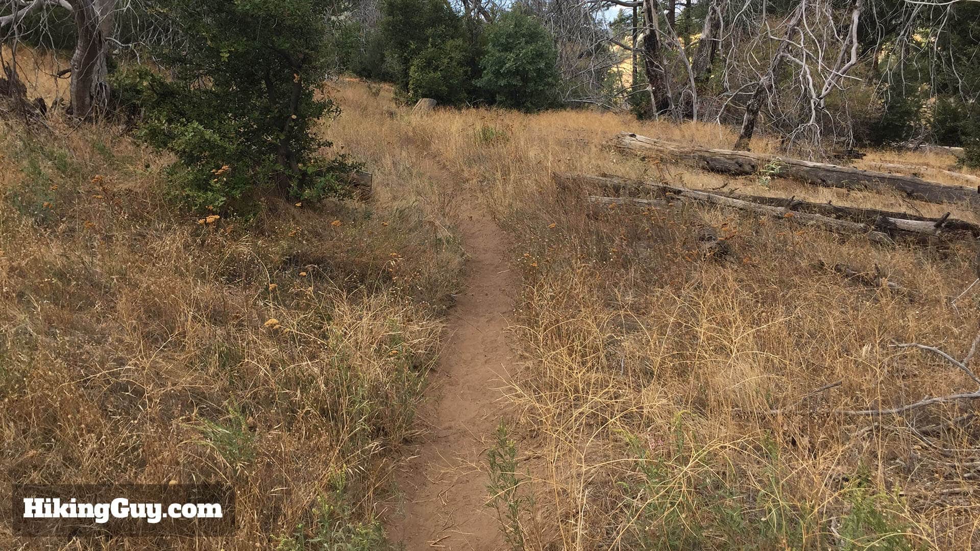
Stonewall Peak Hike Update 14
If it's hot out, there are some shady sections that give you a break from the sun.
Stonewall Peak Hike Update 15
At about 1.7 miles you'll reach a junction. Make the hard right.
Stonewall Peak Hike Update 16
The trail levels out for a few minutes.
Stonewall Peak Hike Update 17
And then you reach a group of boulders. Hike up through the middle of them.
Stonewall Peak Hike Update 18
And you'll see the railed steps leading to the summit.
Stonewall Peak Hike Update 19
Follow the rail up to the summit area.
Stonewall Peak Hike Update 20
And then enjoy the panoramic views. There are interpretive displays to give what you see some context.
Stonewall Peak Hike Update 21
And when you're done, just head back the way you came!

Optional Loop Back

You can simply return the way you came, or if you want to do something different, follow the loop back. The loop is a bit more primitive and leave the crowds behind.

stonewall peak trail junction
When you reach the junction with the main trail, hike to the right.
hiking stonewall peak trail
The Stonewall Peak Trail is well marked, but there are several side trails to overlooks. Stay on the well-marked path.
hiking stonewall peak trail
The trail starts to descend and quickly becomes more mellow.
Little Stonewall Peak
As you hike, you’ll see Little Stonewall Peak to your right.
views on stonewall peak trail
Soak in the views to the north as you descend the switchbacks on the Stonewall Peak Trail.
Vern Whitaker Trail
At about 3.7 miles, you come to a trail intersection. Make the left onto the California Riding and Hiking Trail.
Stonewall Peak Update Sep 2022
Here's the trail sign. Big thanks to Jeff T for the update!
hiking stonewall peak trail
The trail is pretty flat and heads through tranquil grasslands with some good wildflower spotting opportunities. I saw some quail when I was here.
hiking stonewall peak trail
Shortly after that (around 3.9 miles) there’s another junction, stay left.
hiking stonewall peak trail
At 4.2 miles or so, bear left onto the Cold Stream Trail.
Stonewall Peak Update Sep 2022 2
Here's the trail sign.
view of stonewall peak
As you head back to the start, you’ll get nice views of Stonewall Peak.
end of stonewall peak trail
At about 5.4 miles, you come back to the junction where you started. Make the right to head back to the road and parking.

Last updated January 2025