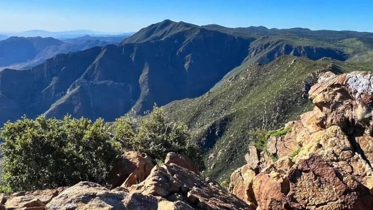

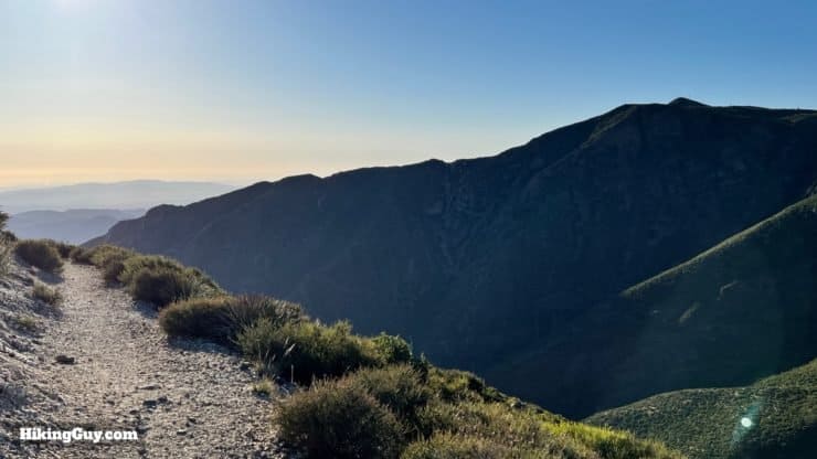
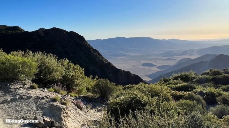
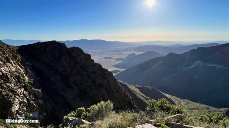
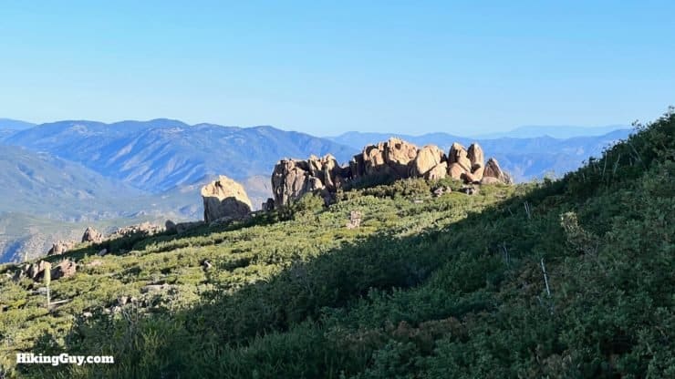
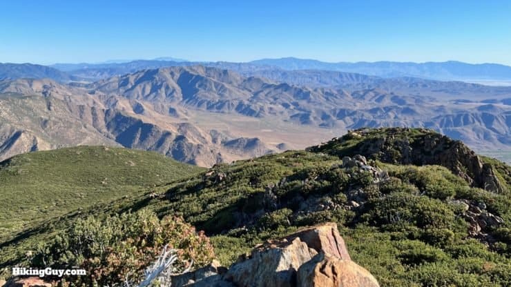
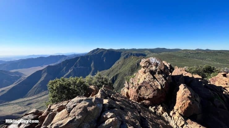
Garnet Peak offers commanding views from the Laguna Mountains over the Borrego Desert and surrounding mountains. It's one of the most spectacular viewpoints in the area. In this hiking guide, we'll take the PCT to the Garnet Peak Trail, the most scenic route that offers plenty of parking at the trailhead. Don't let the short distance fool you; the views on this hike are worth it.
- Video and Turn-by-Turn Directions for Garnet Peak via PCT
- Where to Park for the Hike
- Insider Tips & Recommendations
Where is the Garnet Peak Trail?
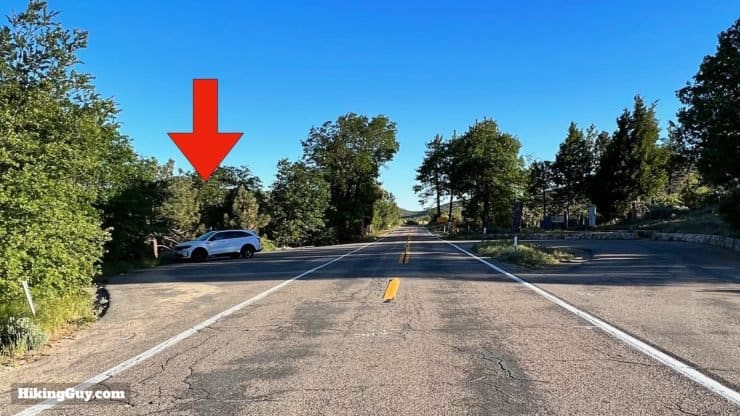
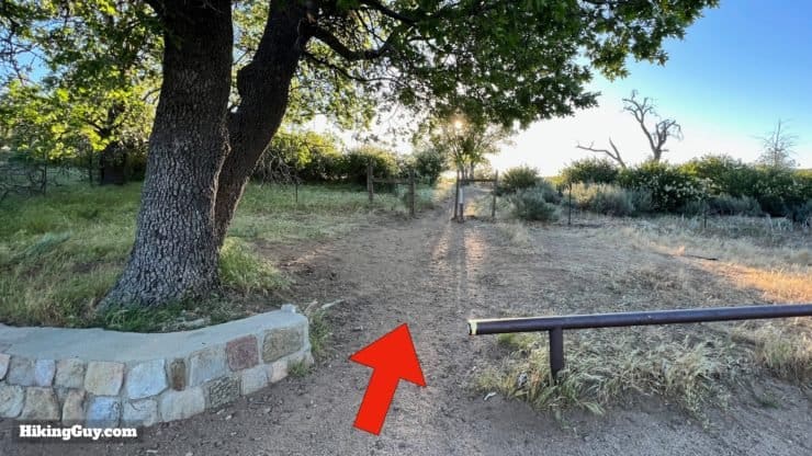
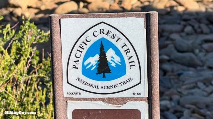
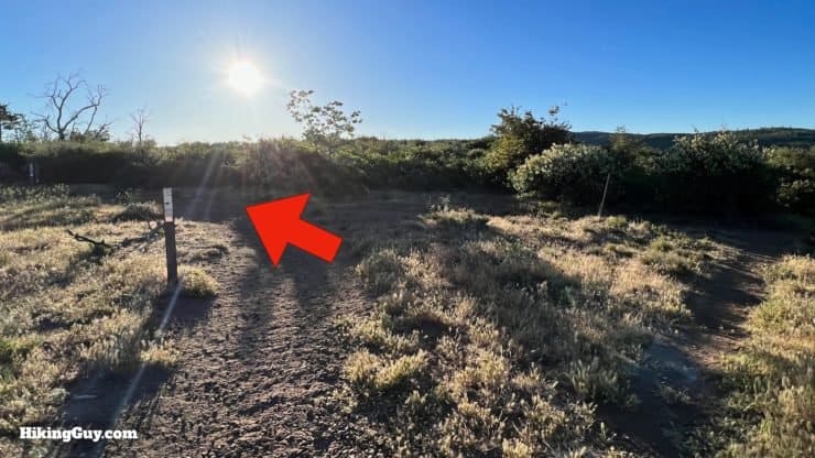
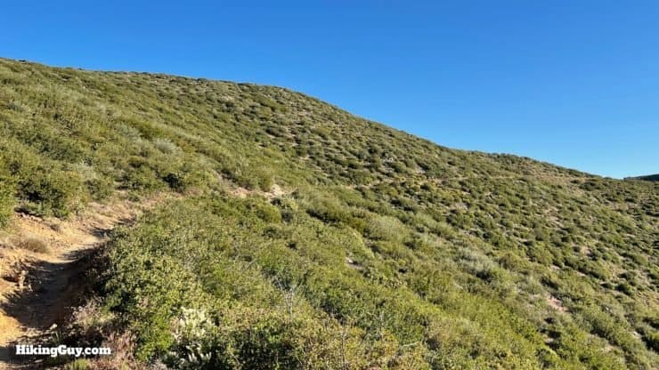
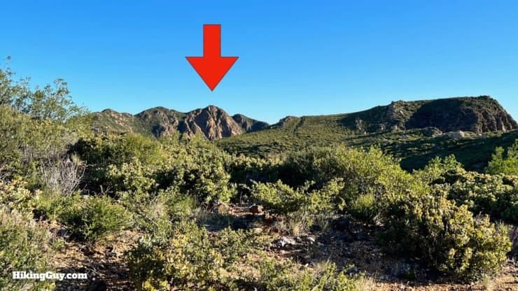
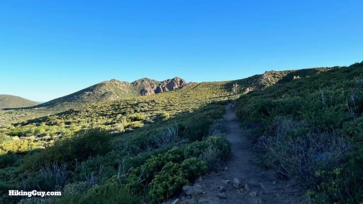
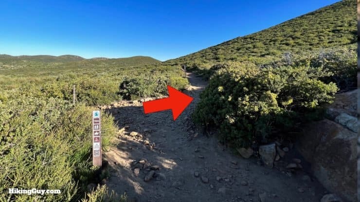
We're not going to take the Garnet Peak Trail directly to the summit. The parking for that trail is limited, and the approach lacks views. So instead, we'll park a short way down the road at the Penny Pines Trailhead, follow the PCT along the escarpment to the Garnet Peak Trail, and then climb to the summit. Use this trailhead address:
Penny Pines Trailhead, 12031 Sunrise Hwy, Mt Laguna, CA, 91948
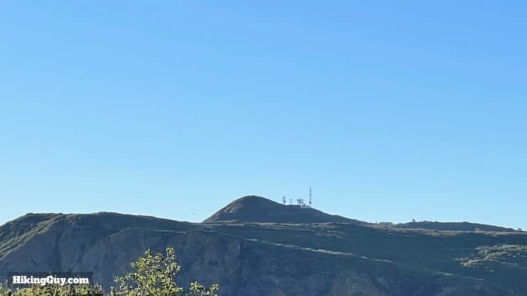
Don't confuse Garnet Peak with Garnet Mountain, which is about 3 miles north of the trailhead and lacks a trail. You can still scramble to the summit there if you'd like, but I won't cover it in the guide here.
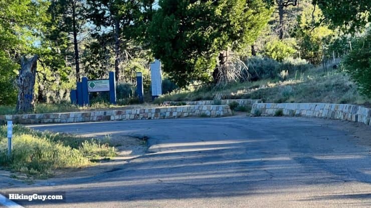
You need a National Parks Pass or Adventure Pass to park here.
Gear For the Hike
If you're not familiar with the Laguna Mountains, they can be extreme. In the winter, there can be snow and cold temperatures. In the summer, it can get pretty warm (but usually there's a breeze). So check the weather before you go. You can do this short hike in fitness or light hiking gear. The summit of Garnet Peak can be extremely windy.
Gear That I Love Right Now
Nothing is sponsored or promoted, just the actual gear that I use.


Check out the complete list here. ( Updated October 2024)
Garnet Peak Trail Maps
How Will You Navigate?
 Using the Apple Watch for Hiking
 Garmin Fenix 7 & Epix Review For Hikers
 How To Read a Topographic Map
 Garmin GPSMAP 67i Review
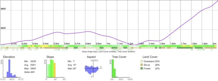
Elevation Profile
3D Map
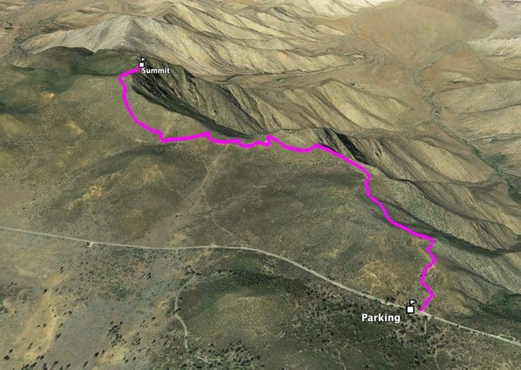
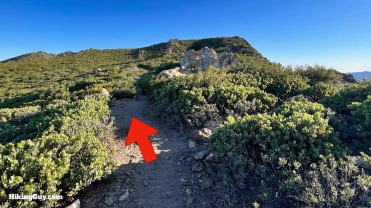
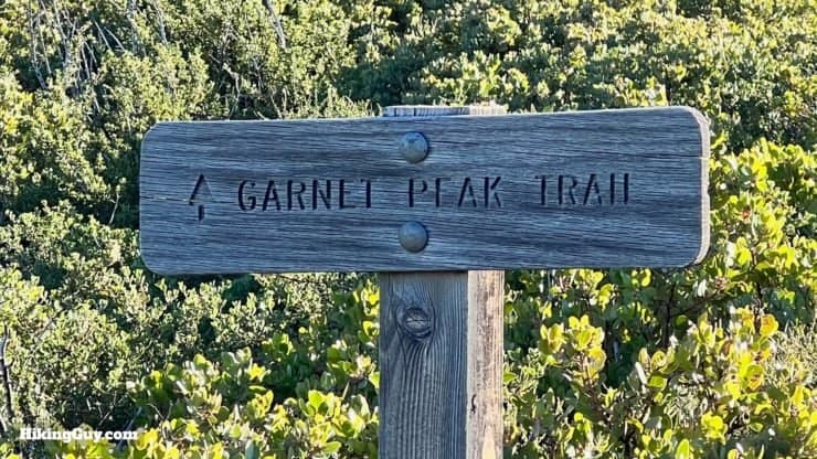
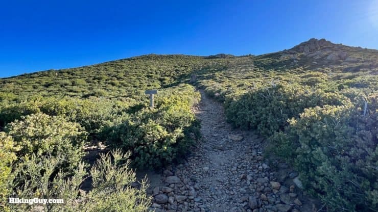
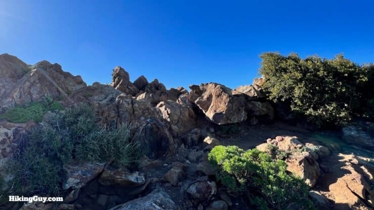
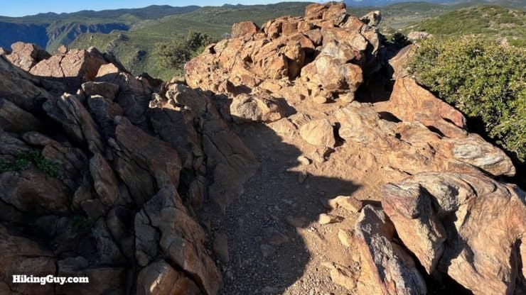
Garnet Peak Trail Hike Directions

Garnet Peak first appeared on the USGS topographic map in 1942. The peak is named after the gemstone, commonly found in red, that was mined in the area.

Need More Info?
- Have a question about the guide? Join my Patreon and ask me a question.
- When planning, always check the park website and social media to make sure the trails are open. Similarly, check the weather and road conditions.
- Do you have an update to this guide? View the Youtube comments for this video. Leave a comment and I will do my best to update the guide.
Related Guides
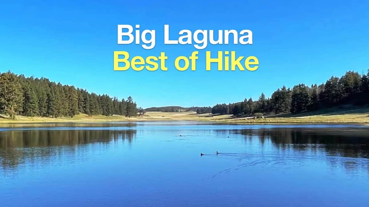 Big Laguna Trail - Best of Loop
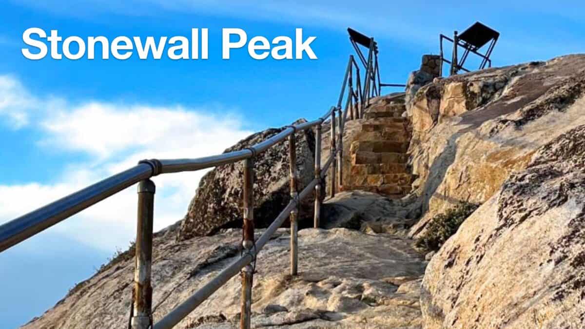 Hiking Stonewall Peak Trail
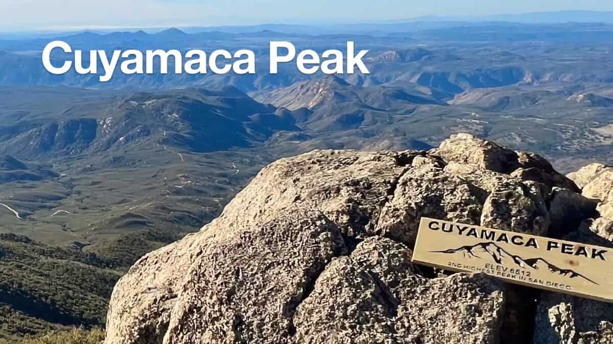 Hike Cuyamaca Peak
 Hike Noble Canyon Trail
 Hiking San Diego
 Cleveland National Forest Hiking
 Sierra Club 100 Peaks
Popular Guides
 Best Hiking Gear 2024
 Hiking Boots or Shoes: Do I Really Need Hiking Boots?
 When to Hit SOS on inReach
This Guide Was Written by Cris Hazzard

Hi, I'm Cris Hazzard, aka Hiking Guy, a professional outdoors guide, hiking expert, and author based in Southern California. I created this website to share all the great hikes I do with everyone else out there. This site is different because it gives detailed directions that even the beginning hiker can follow. I also share what hiking gear works and doesn't so you don't waste money. I don't do sponsored or promoted content; I share only the gear recommendations, hikes, and tips that I would with my family and friends. If you like the website and YouTube channel, please support these free guides (I couldn't do it without folks like you!). You can stay up to date with my new guides by following me on YouTube, Instagram, or by subscribing to my monthly newsletter.