
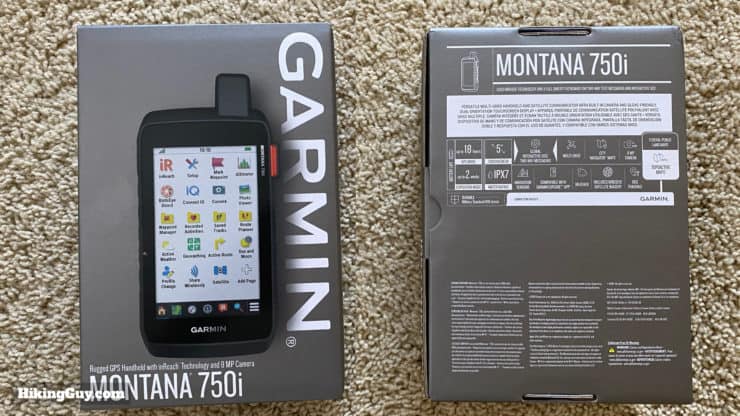
In-Depth Garmin Montana 750i, 700i, 700 Review
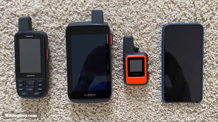
I've been using and testing the Garmin Montana 750i extensively for a few months, and to sum it up in a few words, it's a mixed bag that will be great for some folks and not so great for others. The Montana 7x0 series is unlike any other Garmin handheld GPS out there. It's big, beefy, has a bright touchscreen, and more onboard maps than usual. Those positives can also be downsides though.
- 7x0i Device Walkthrough & Video
- Montana Highlights and Lowlights
- Is This a Good GPS Fit For You?
You can support this website and these independent reviews by using the links above to purchase this or anything. I receive a small commission that helps offset website costs; you pay nothing extra.
I was not paid by Garmin to do this review. All reviews on this site and independent and unsponsored.
Important Update
Differences Between Montana 7xx Models
You'll see me using the top-of-the-line Garmin 750i in this guide, but you can also apply the insights here to the sister 700i and 700 models. Here are the differences between them.
| 700 | 700i | 750i | |
|---|---|---|---|
| InReach Communications | x | x | |
| 8 Megapixel Camera | x | ||
| CityNavigator Driving Maps | x | x | |
| TopoActive Maps | x | x | x |
| Optional AA Battery Pack | x | ||
| GLONASS Support | x | ||
| GPS & Galileo Support | x | x | x |
| External Antenna Option | x | x |
The sweet spot for most users looking for InReach would be to get the 700i, which has everything except the camera. I'll talk about the camera performance later, but for most of us, we probably already have a camera on our smartphone that is better (and also geo-tags our photos).
You can see a complete list of specs for the models on the Garmin site.
Montana 750i (or 700i or 700) Walkthrough
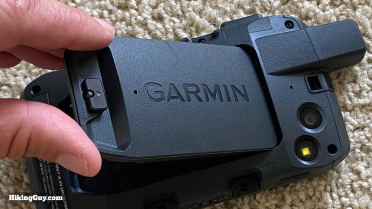
It's hard to convey just how beefy and different the Montana 7x0 series feels compared to other handheld GPS units. When you first use it, you feel as if you're in the military and have just been handed your GPS for the field. Like anything else, the more you use it, the more you get used to it. If you have small hands, you'll likely use the Montana like a tablet instead of holding it in your palm.
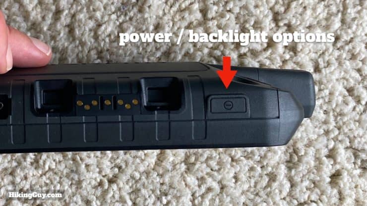
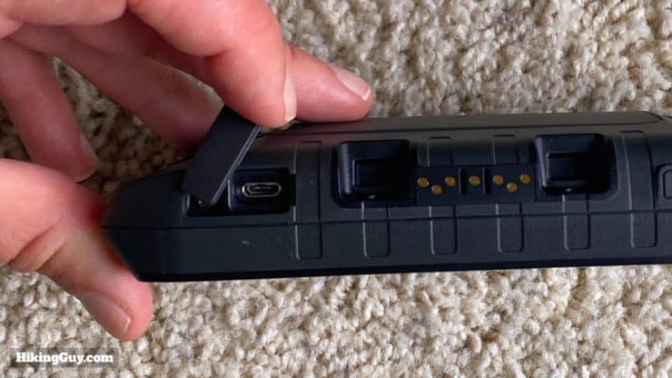
Buttons & Outside of the GPS
Let's talk about the touchscreen, which is the highlight of the Montana 7x0. For a Garmin device, the screen is great. I found it very easy to see in all conditions. The screen is transflective, which means that it uses incoming sunlight to reflect the pixels. When there is no sunlight the backlight illuminates the pixels. But if you compare it to a smartphone, it's definitely not in the same league. For example, the slightly larger iPhone 11 Pro Max packs over three times as many pixels into a similar space.
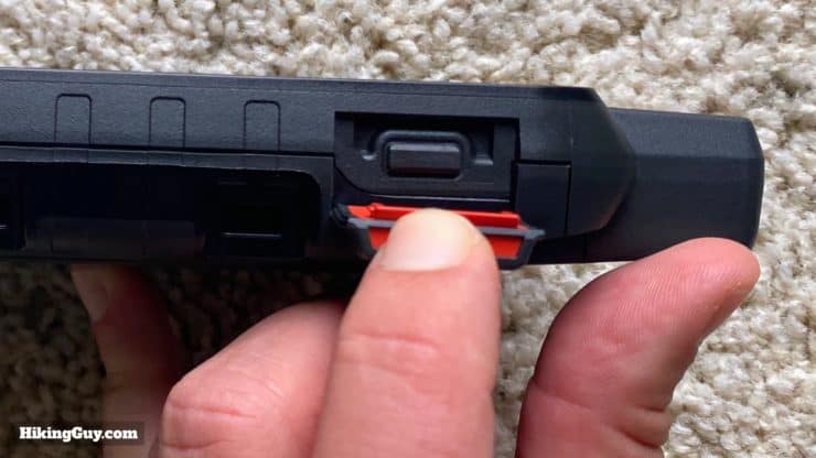
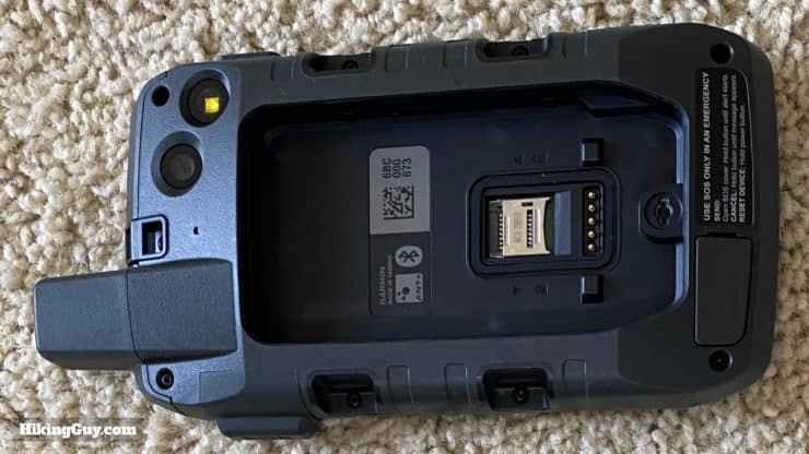
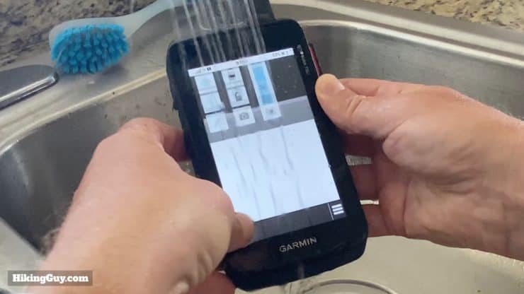
The Montana 750i, 700i, and 700 are one of the only Garmin handheld GPS units that are MIL-STD-810 certified (right now). In layman's terms, it means the GPS is not only water-resistant, but also can survive in temperature extremes, can withstand shock, vibration, dust, and is generally indestructible.
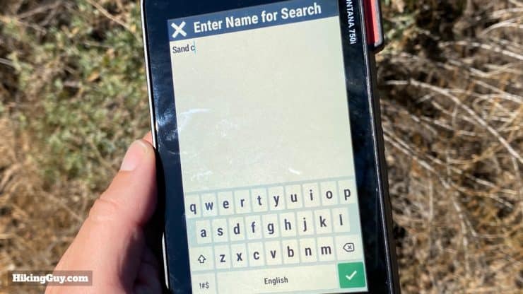
Touchscreen Interface
The Montana interface feels like a smartphone, albeit one that's pretty dated. Many of the conventions in the interface are the same as those found on iOS or Android. If you use a smartphone, getting the hang of the Montana interface should be pretty easy.
The processor in the Montana is an upgrade. The overall experience seems quicker and snappier than other Garmin GPS handhelds.
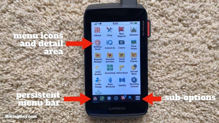
- You can arrange, add, and remove icons from the main icon area. So it's easy enough to move the icons for functions you often use to the top.
- There's a bar along the bottom with persistent "quick access" icons that you can also customize.
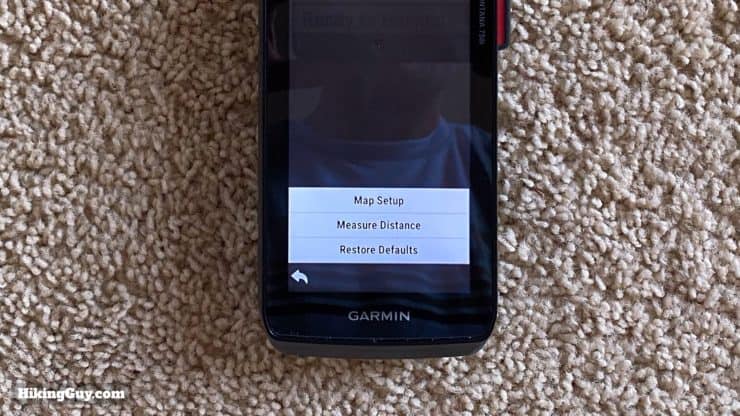
- The little "hamburger" menu in the lower-left stays there no matter which screen and gives you sub-options for the function you are on.
Screen Performance in Adverse Conditions
When conditions are dry and clean, the touch screen works great. The screen is fairly sensitive and it's easy to mistakingly drop a pin on the map when using your fingers to pan or zoom. I hope there are more screen sensitively options offered in a future firmware release.
And now the bad part. When you use gloves or when it's really wet, the screen really struggles. You can change the screen's sensitivity between "normal" and "gloves," which I think makes the screen less sensitive.
I've been using a touchscreen Garmin Edge cycling computer on my bike for a while, and it's been decent when riding in the rain, so I had high expectations for the Montana screen. Unfortunately the Montana struggles.
I used my Montana without a screen protector and didn't get any scratches, but you'd probably be wise to put one on there.
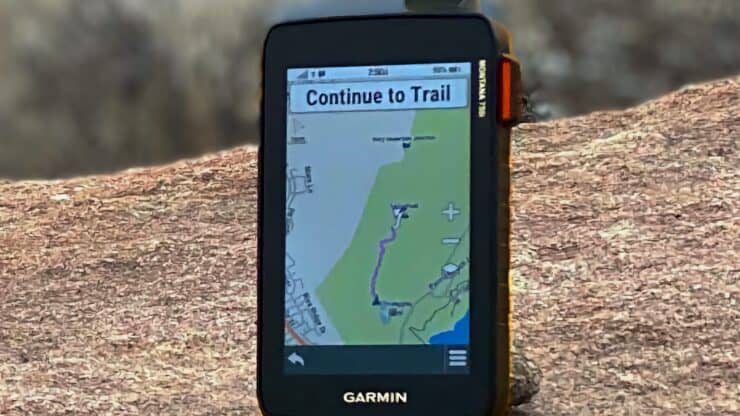
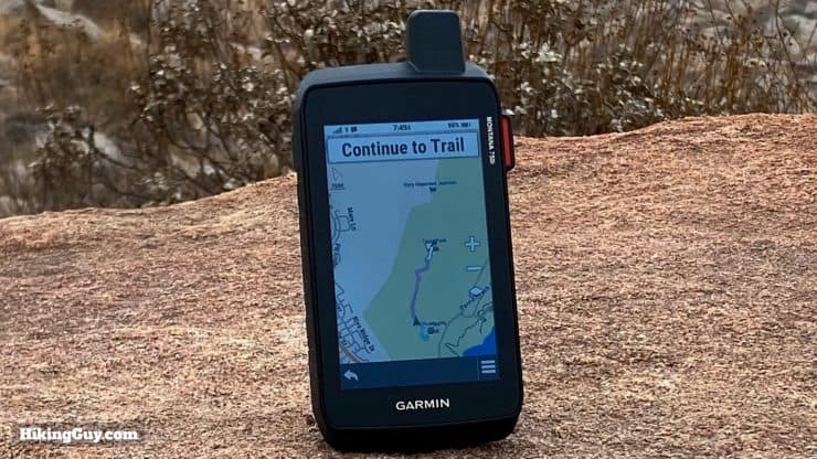
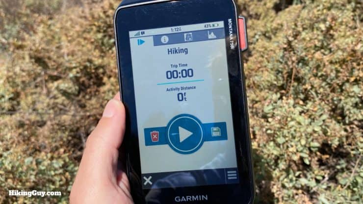
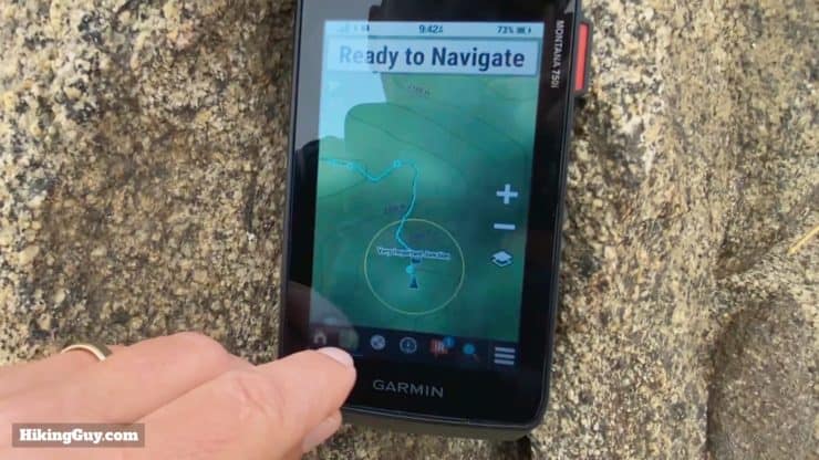
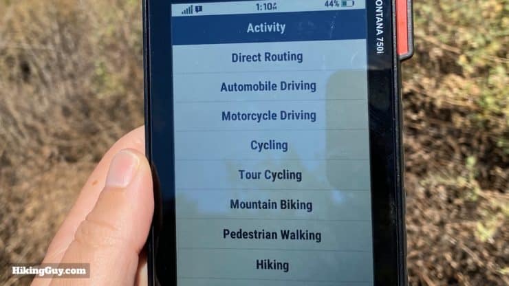
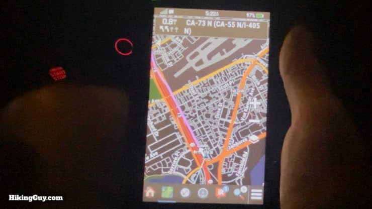
Montana 750i, 700i, 700 Navigation
Overall the Montana 7x0 Series navigates just like any other Garmin handheld device. There's recording controls, activities, waypoints, routes, and tracks. In this section I'll talk about how navigating with the Garmin Montana is different than something like the GPSMAP series (non-touchscreen). If you're just learning how to use a Garmin GPS and aren't familiar with the normal Garmin navigation features, please check out my review of the GPSMAP 66i which covers how to navigate.
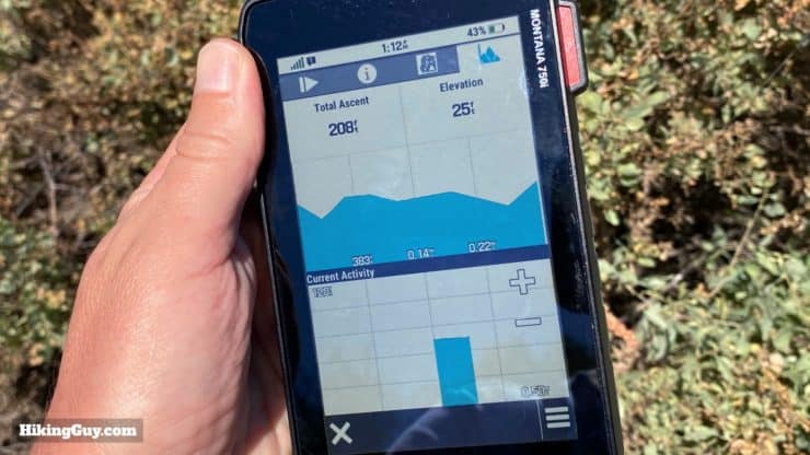
There's also an altimeter, barometer, and compass on the Montana. They functioned as expected, which is consistent with other Garmin devices. In general, they are not professional instruments, should be calibrated often, and used as general guides.
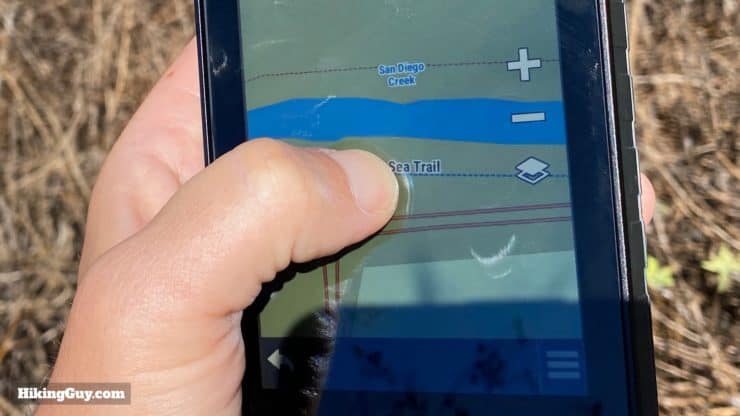
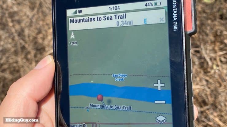
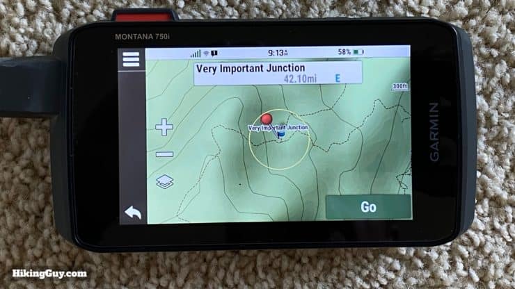
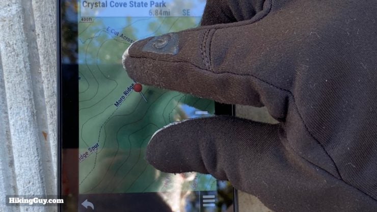
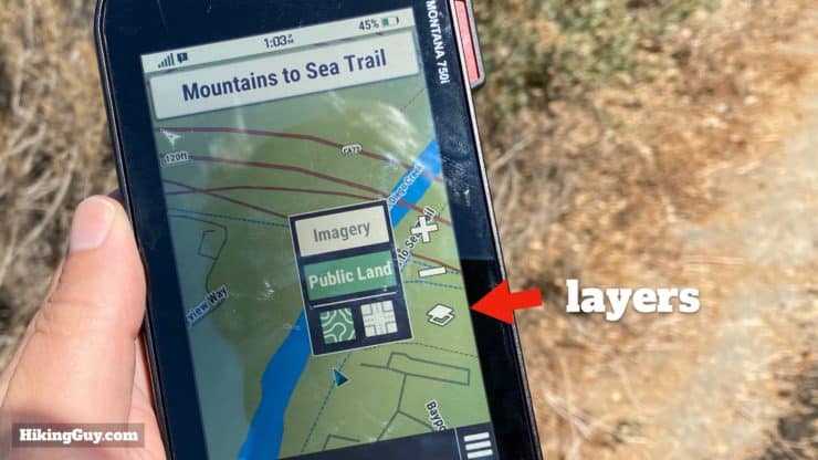
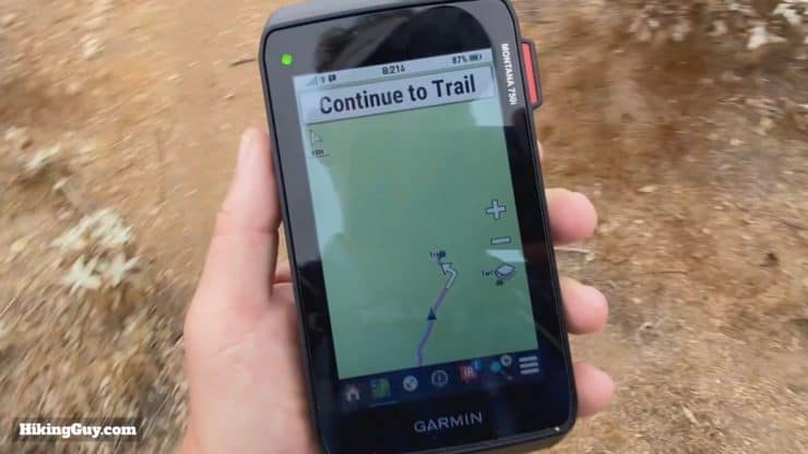
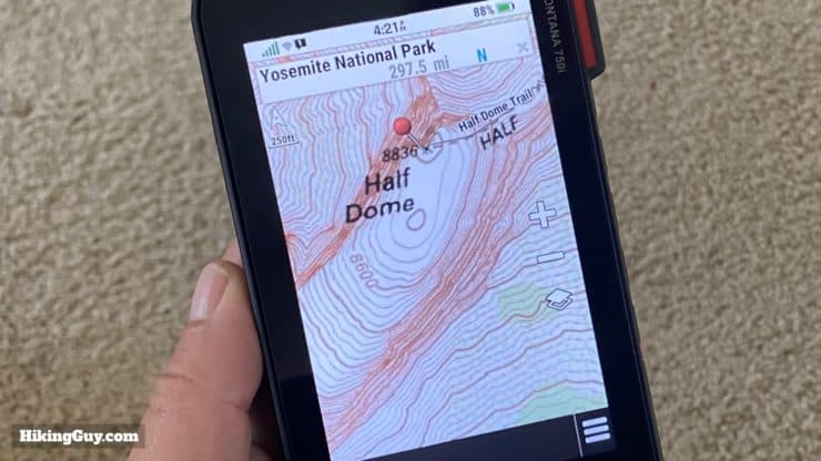
Garmin Montana Maps
One of the more exciting aspects of the new Garmin Montana is the preloaded maps. The unit comes with
- Garmin TopoActive Maps - These are the hiking maps with contour lines, slope shading, and trails. As I've mentioned in earlier Garmin GPS reviews, the maps are much better than they once were now that they're based on Open Street Map data and contain the majority of official hiking trails.
- Public Land Boundaries - A new map layer that Garmin is including that is useful for hunters and those looking for camping spots, etc.
- CityNavigator - This is the "driving" map that comes with automotive GPS units that allows you to route yourself on roads, find a Wendys, etc.
- BirdsEye - The Montana comes with a lifetime subscription to Garmin Birdseye satellite photography. I don't find Birdseye too useful and the quality is not as good as Google Maps. But it is available offline.
You can also tweak the map rendering speed in the settings. The faster you render the map, the quicker the battery drains. I found that having it on fast rendering was worth the battery drain, which didn't seem much different in my usage.
GPS Performance
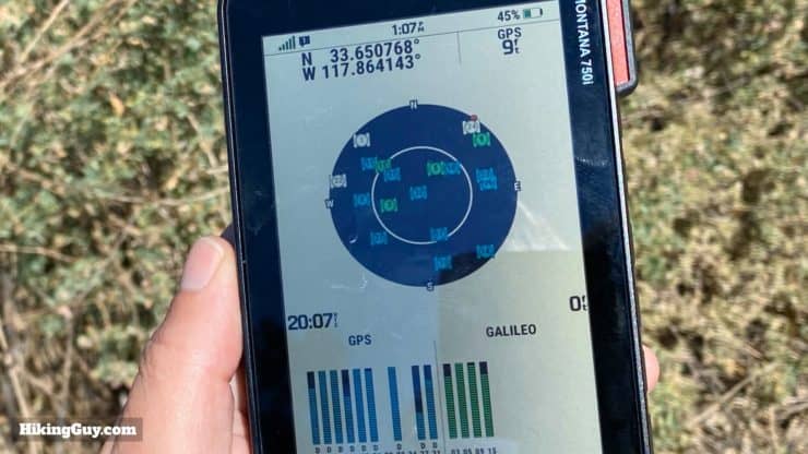
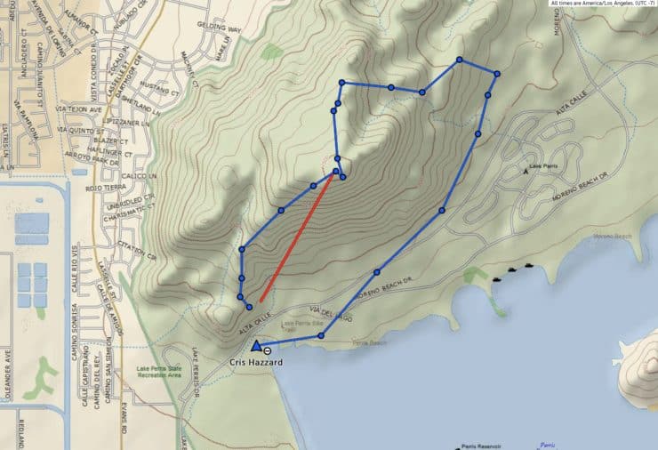
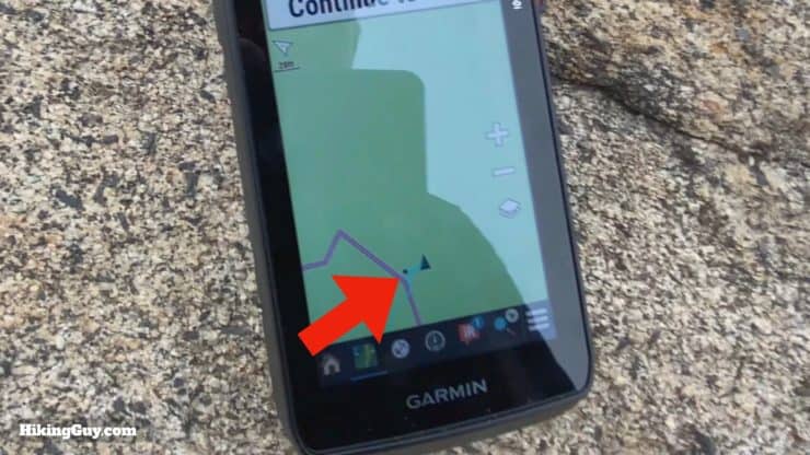
The Garmin Montana 750i and 700i have GPS and Galileo, while the 700 (non-InReach) also has GLONASS. Overall I found the positioning accuracy to be good and on par with the GPSMAP 66i. I generally use GPS + Galileo. There are a lot of variables involved with positioning, but rarely did my accuracy go over 25 feet.
You can see from this side-by-side GPS test that the Montana 750i performs well. It's basically the same as the GPSMAP 66i. At some points there is a 20 ft variation, but I think that's more than acceptable for hiking and non-professional uses.
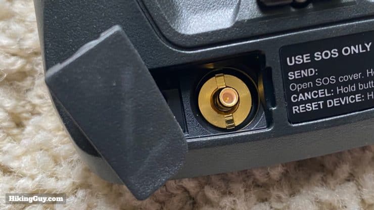
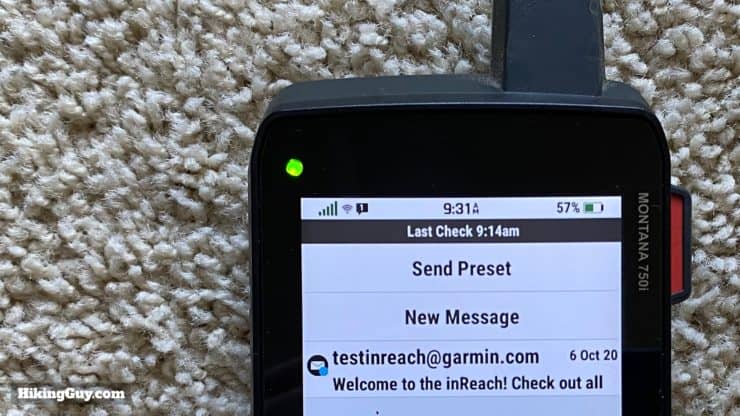
Montana 750i, 700i InReach Functionality
For those that like to send ad-hoc texts with their InReach, the Garmin Montana offers a QUERTY touchscreen keyboard. Otherwise there's not much to report on the InReach front; it basically works exactly the same as other InReach devices like the GPSMAP 66i. If you're not familiar with InReach, I have a deep dive on the GPSMAP 66i page that you should check out. The Garmin Montana functions the same way.
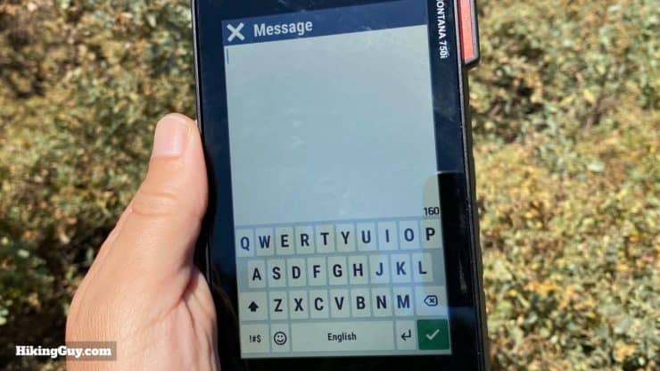
How Long Does a Message Take to Send?
Battery Performance
The battery performance on the Garmin Montana is highly variable and depends a lot on how much you use the screen. And since everything is touchscreen, if you want to use it, you have to use the screen. Here's where I averaged out on my battery consumption.
- Left in my pack with GPS tracking (every second) and InReach tracking (every 10 minutes) and no screen usage, 5-6% battery drain per hour. This roughly jibes with Garmin's 18 hour claim.
- When I have the same settings but use it for a few minutes every hour to check my position and look around the map, the drain goes down to about 8-10% per hour, giving me 10 hours of battery life.
There is also an "Expedition Mode" that puts the unit in low power mode, but still tracks GPS points (at a lower frequency). Garmin says that you can get up to 300 hours using it. My experience was about 32 hours with automatic GPS points and 1 hour InReach tracking intervals. Unfortunately the GPS tracking in Expedition Mode is less frequent, which leads to more straight lines between track points, which leads to a much shorter tracked distance.
You can buy additional battery packs if you'd like, but I recommend using any old USB charger if you need more juice in the field.
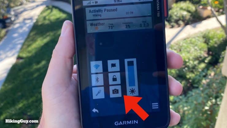
Montana 7x0 Battery Saving Tips
- Turn the display off when not using, and turn the brightness as low as possible.
- Pick a low backlight timeout and use the Battery Saver option, which turns the screen off when the backlight goes off.
- Disable Bluetooth, WiFi, and any sensors you don't need.
- Only use GPS (no Galileo or GLONASS) and disable WAAS/EGNOS.
- Set track log recording to "Auto."
- Use the trip computer page instead of the map page when possible and set the map speed to "normal."
- Use "north up" instead of "track up" map orientation and disable the magnetic compass.
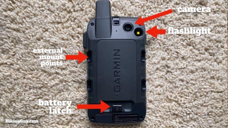
Garmin Montana Camera
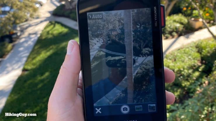
I think the camera functionality in the Montana has limited appeal and is probably targeted at geocachers. For hikers it can be handy to snap a shot of an intersection or other feature that you might want to record in a geotagged fashion. Otherwise I'd say that your smartphone will take better photos. And most smartphones will also geotag a photo if location services are turned on. Overall the camera is nice if you want everything in one seamless (Garmin-world) package.

I was disappointed that when adding a waypoint you could not snap a photo with it. You can, however, take a photo that is geotagged and navigate to it.
Is the Montana 750i (or 700i or 700) Worth It?
The answer is maybe. Let's highlight the highs and lows.
| Highlights | Lowlights |
|---|---|
| Big Bright Screen | Heavy and Big |
| Fast Processor | Mediocre Battery Life |
| QWERTY Keyboard | High Price |
| Use on Foot or Vehicle | Camera Sub-Par |
Here's who I'd recommend the Montana to:
- Older model Montana users who love it and want to add InReach
- Hikers or hunters who want solid GPS that's easy to see and use, but who don't hike in extreme cold or wet conditions
- ATV or off-road users
- Overlanders who occasionally hike and want a GPS to use in the vehicle and on the trail for hikes
Unless you specifically need an integrated camera (maybe for geocaching), I'd go with the cheaper Montana 700i that has InReach but no camera.
If you find this guide helpful, you can help support this site by using these links to buy your Montana (at no extra cost to you):
Latest Prices: Amazon | REI
Alternative InReach / GPS Options
- If you want InReach and GPS together in a purpose-built device for the outdoors, go with a GPSMAP 66i. It's lighter than the Montana 7x0 Series and doesn't have the touchscreen flaws.
- If you want InReach and want to minimize weight, use an InReach Mini (which also has GPS) and a smartphone app like Gaia GPS. Make sure you protect your phone and understand how to tweak the settings for low battery drain.
How To Set Up the Montana 750i, 700i, and 700
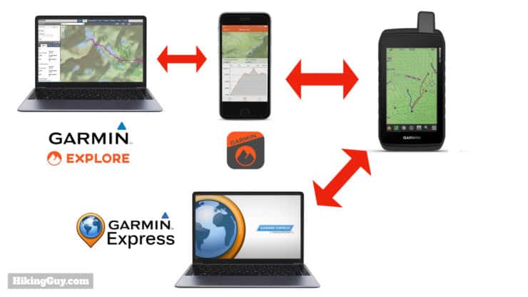
One of my gripes about Garmin GPS and Garmin InReach is the lack of clear or coherent setup. It's not just the Montana, this goes for most other Garmin devices as well. You won't get a guided, seamless experience like you might get from Apple. Here are the players:
- Garmin Explore Website - This is where you register your InReach, setup contacts and messages, and optionally use the mapping software.
- Garmin Explore Smartphone App - With the app you sync the device to the phone using Bluetooth, and then you can transfer the InReach settings from the website to the phone. You can also use the basic tools to create tracks, routes, or waypoints, and then transfer them to your phone. Lastly, the smartphone app works as a controller for the Montana when it's connected via Bluetooth, allowing you to "remote control" many of the Montana's features.
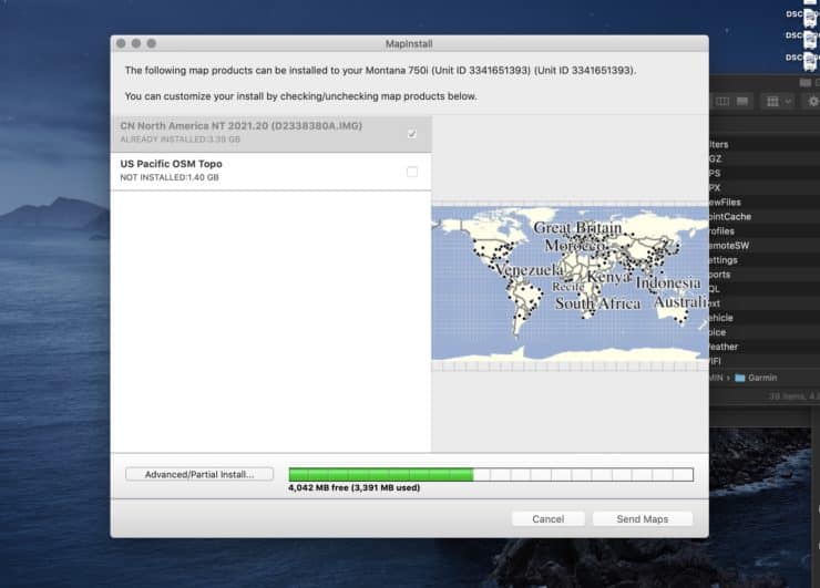
- Garmin Express - This is a program that you install on a computer to update the firmware and maps on the Montana. You need to connect the Montana to a computer using USB to use Garmin Express.
- Garmin Connect - Yet another app for your smartphone. Before you can connect the Garmin Explore app, you need to connect with Garmin Connect. Why? Who knows? It makes no sense.
Here's how to do it.
If you don't want to activate InReach or have a Montana 700, skip to step 7.
- Turn on your Montana and go through the guided setup.
- You will get an IEMI and activation number, write those down.
- Go to the Garmin Explore website and sign up for an account. You will use these same credentials to log into all the Garmin apps and services in the following steps.
- Enter your IEMI and activation code, pick a plan, and put your billing info in.
- Go back to the Montana and and continue. The Montana will send a message to the Iridium satellites and then get one back with a successful activation.
- Go to Garmin Explore website and enter your contacts and preset messages.
- Load the Garmin Connect and Garmin Explore apps on your phone. Turn on Bluetooth on your phone. Go to the settings on the Montana and add a new phone.
- Open Garmin Connect and add a new device. Select the Montana. Let them pair.
- Once paired, open Garmin Explore on your phone and add a device. This will sync your InReach contacts and messages, as well as any saved navigation data. Almost there...
- Install Garmin Express on your computer and connect your Montana to the computer with the USB cable.
- Add the Montana to Garmin Express and sign in with the account you created for Garmin Explore in step 3.
- Update the firmware and map data. And that's it, only 12 steps!
I highly recommend downloading and using the Garmin Basecamp program for your computer. It's a good planning tool that's integrated with the Montana.
Garmin Montana 750i, 700i, and 700 Resources
- Full specificaions
- Online Montana 700 Series Manual
- Montana 700 Series PDF Manual
- Montana 700 Series Support Articles
- Montana 700 Series Forum on Garmin
- Garmin User Discussion on Reddit
- Montana 700 Series Firmware Updates
- InReach System Status
- If you want a case, some folks have had luck with the Maxpedition TC-3
- You can access a hidden diagnostics page by
- Going to the Satellite page
- Press and hold the upper left corner of the screen >5 seconds
- Select an item from the menu
- Long press power button to return to the diagnostic test menu
- Long press power button to again to power down and exit
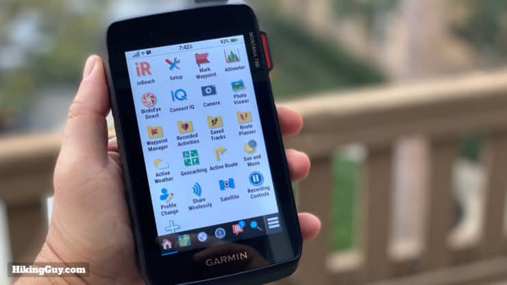
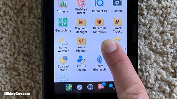
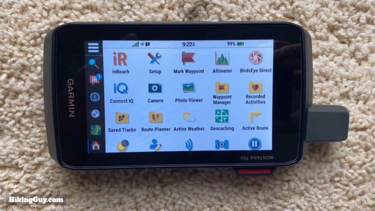
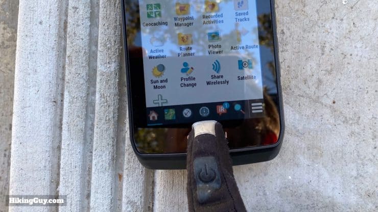
Menu Items and Functions
Here's what comes standard on the Montana 7x0 Series. You can customize (hide, show, reorder) the icons as you'd like.
- InReach
- Tracking (used to be LiveTrac)
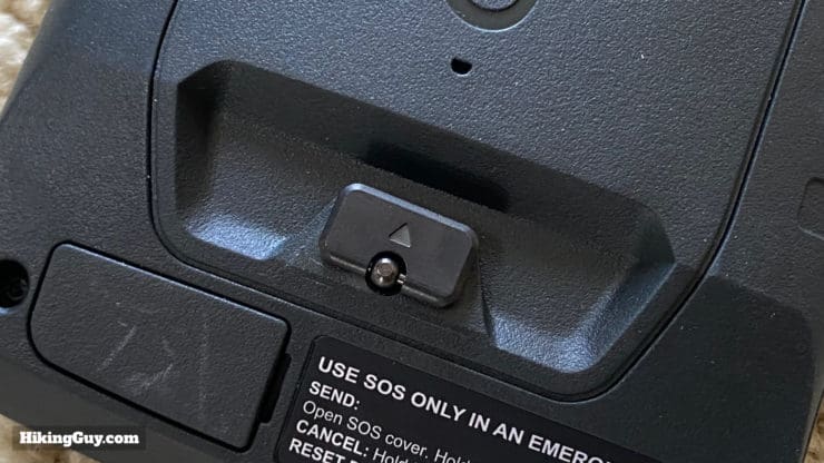
- SOS
- Messages
- InReach Utilities
- InReach Weather
- Contacts
- Recording Controls
- Setup
- Mark Waypoint
- Altimeter
- Birdseye Direct (download satellite maps)
- Connect IQ (with a sub-screen for all third-party apps that are loaded)
- Camera
- Geocaching (integrations after you register with geocaching.com)
- Waypoint Manager (list of all waypoints)
- Recorded Activities (list of activities started and stopped with "Recording Controls" app)
- Saved Tracks (tracks that you've loaded onto the device or converted from the "Recorded Activities" app)
- Active Weather (weather report synced from phone)
- Route Planner (create a route with 1 to many points)
- Photo Viewer
- Active Route (step by step list for the current route you are navigating)
- Sun and Moon (sun and moon rise and set, but no dusk or dawn)
- Profile Change (choose from profiles that let you quickly switch customizations and settings)
- Share Wirelessly (send waypoints, etc. between Garmin devices)
- Satellite (info on your current positioning)
- Adventures (Garmin adventures created and loaded on device)
- Area Calculation
- Calculator
- Calendar
- Collections Manager (collections synced with Garmin Explore)
- Compass
- Contacts
- DogTrack
- Flashlight (9 variations including SOS strobe)
- Hunt and Fish
- Man Overboard
- Notifications (when connected to phone)
- Proximity Alarms
- Sight 'N Go (navigate to a point in the distance)
- Stopwatch
- VIRB (camera) Remote
- Waypoint Averaging (take multiple waypoint readings and average them for a more precise location)
- XERO Locations (used with Garmin bow sights)
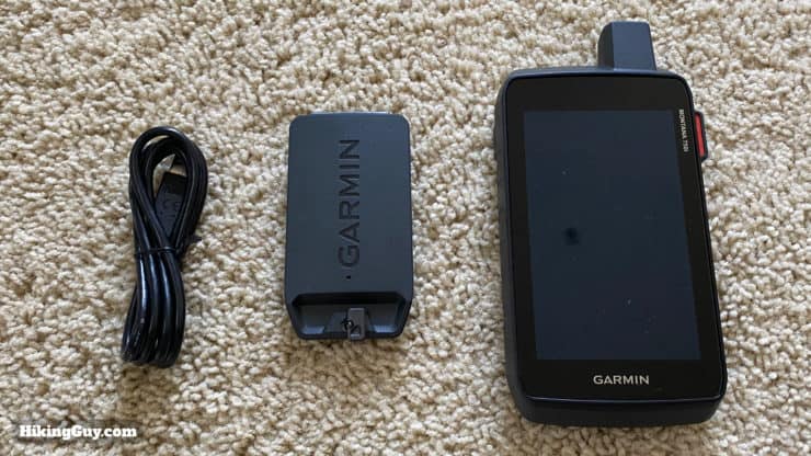
Garmin Montana 750i Unboxing
Need More Info?
- Have a question about the guide? Join my Patreon and ask me a question.
Related Guides
 iPhone 14 vs Garmin inReach
 Garmin GPSMAP 66i Review & Guide
 How To Get Free Garmin GPS Maps For Hiking
 How to Find the Location of an InReach Device
 How to Create and Download Garmin Custom Maps
 Creating a Hike For Garmin GPS
 In-Depth Garmin GPSMAP 65s Review & Guide
 Garmin GPSMAP 66sr Review & Test
 ZOLEO Satellite Communicator Review & Guide
 Who pays for a backcountry rescue?
 Hiking Gear & Outdoor Technology
 Garmin inReach
Popular Guides
 Best Hiking Gear 2024
 Hiking Boots or Shoes: Do I Really Need Hiking Boots?
 When to Hit SOS on inReach
This Guide Was Written by Cris Hazzard

Hi, I'm Cris Hazzard, aka Hiking Guy, a professional outdoors guide, hiking expert, and author based in Southern California. I created this website to share all the great hikes I do with everyone else out there. This site is different because it gives detailed directions that even the beginning hiker can follow. I also share what hiking gear works and doesn't so you don't waste money. I don't do sponsored or promoted content; I share only the gear recommendations, hikes, and tips that I would with my family and friends. If you like the website and YouTube channel, please support these free guides (I couldn't do it without folks like you!). You can stay up to date with my new guides by following me on YouTube, Instagram, or by subscribing to my monthly newsletter.