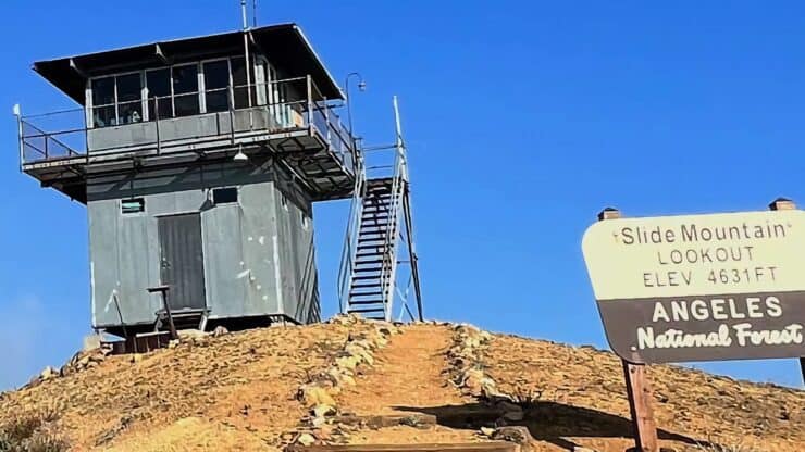

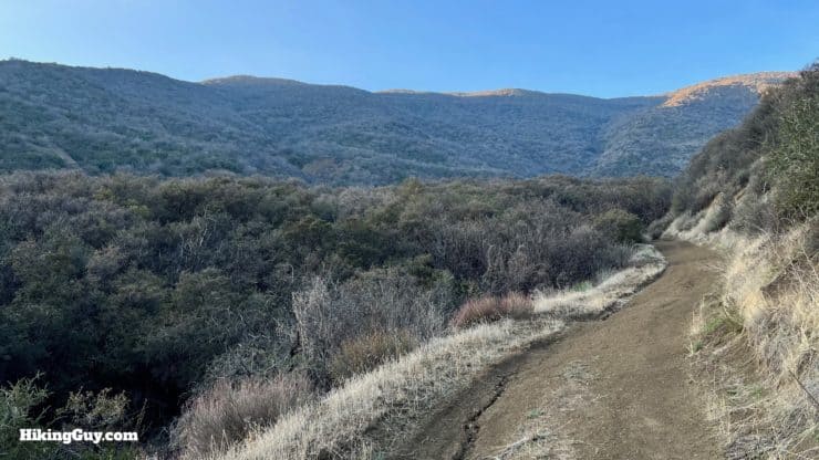
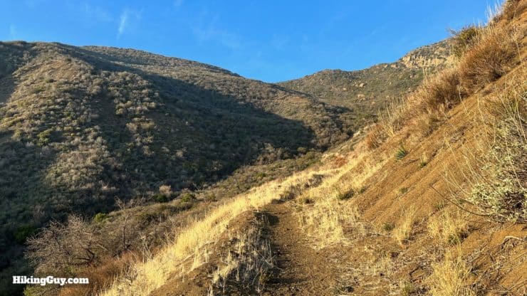
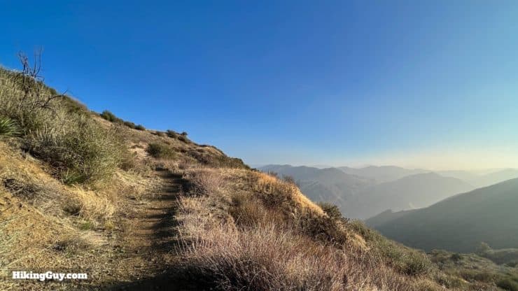
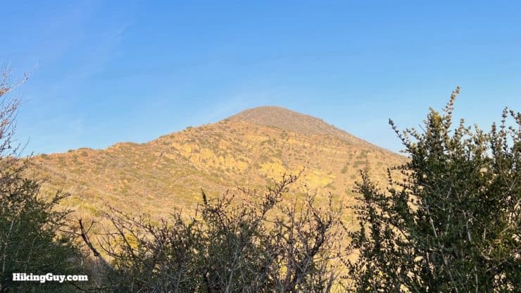
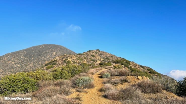
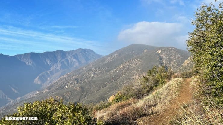
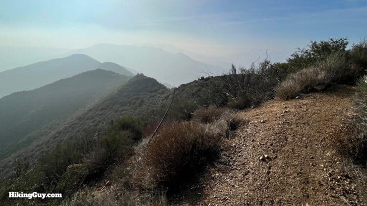
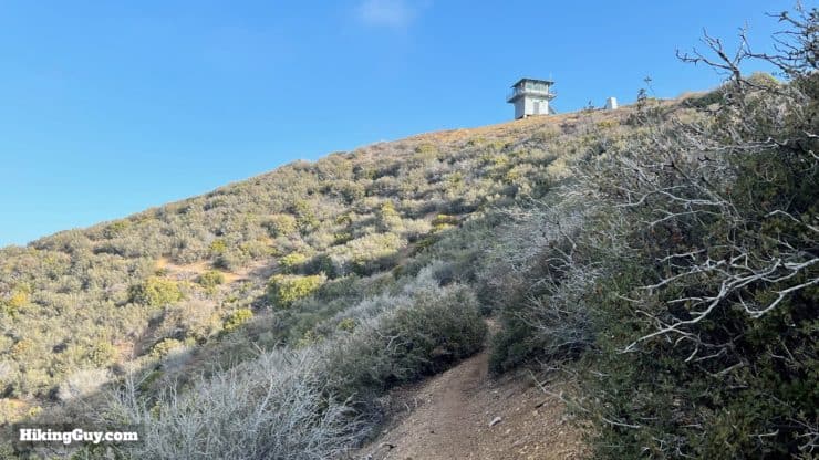
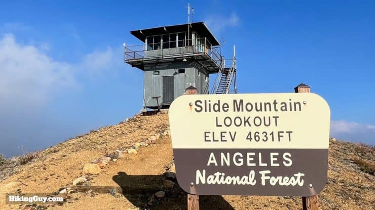
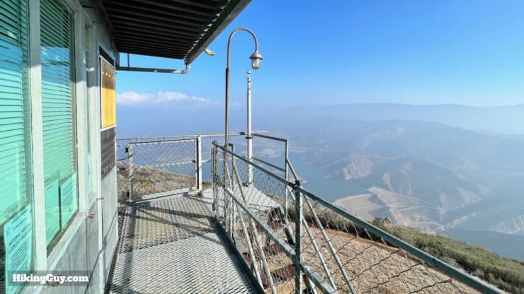
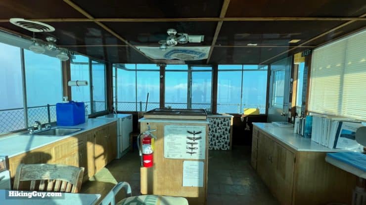
The Slide Mountain Lookout Trail isn't near many other hikes and is a bit of a trek to get to, but it is well worth the effort. The hike is unique in a lot of ways. First, you'll hike through the dramatic Piru Gorge, but you'll do it on an abandoned highway, giving the stretch a surreal post-apocalyptic feel. Then you'll sweat as you climb over 2000 feet on dirt trails toward the summit. Along the way, you'll get spectacular views into the rugged backcountry of the Sespe Wilderness. At the top is a fire lookout, manned by volunteers and only accessible by hiking.
- Video and Turn-by-Turn Directions to Slide Mountain Lookout
- Where to Park for the Slide Mountain Lookout Hike
- Insider Tips & Recommendations
This is one of the only hikes where you start in Angeles National Forest and end in Los Padres National Forest.
Where is Slide Mountain Lookout?
This hike starts in the northwest section of Angeles National Forest, off I-5 when you head north out of the LA area. You'll be sharing the trailhead with anglers who are visiting Piru Creek. Use this trailhead address:
Frenchmans Flat Campground, Castaic, CA 91384
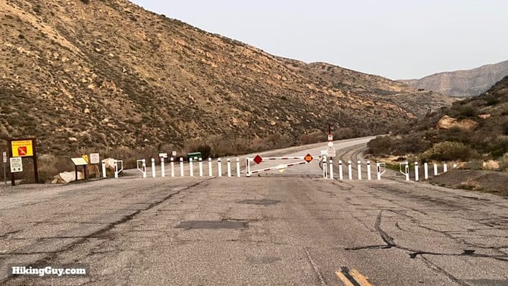
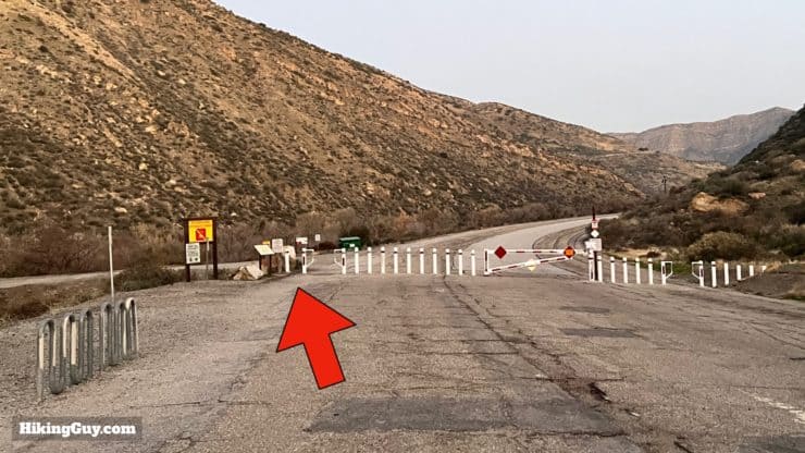
Because there are toilets here, you need to display a parking pass. I use my National Parks pass, and you can also use an Adventure Pass.
Gear For the Hike
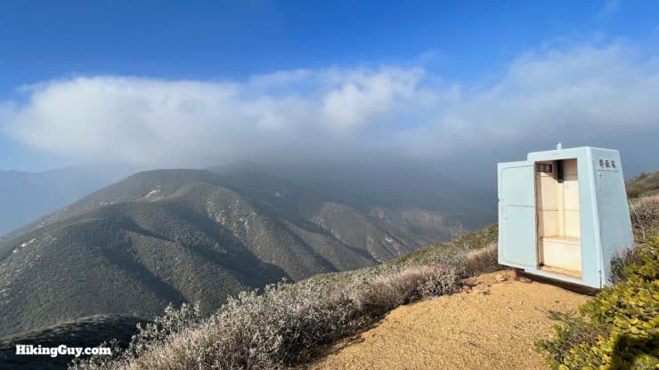
You can go with your standard hiking gear here, there are no curve balls. I found that I even had 5G cell reception for most of the hike. The hike is exposed and can get hot in the summer, bring 2-3L of water. You'll also want to bring some insect repellant. The ideal time to visit in in the cooler and windier months when the insects and heat are not an issue.
Gear That I Love Right Now
Nothing is sponsored or promoted, just the actual gear that I use.


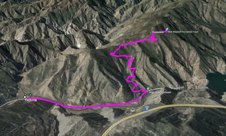
Slide Mountain Trail Maps
How Will You Navigate?
 Using the Apple Watch for Hiking
 Garmin Fenix 7 & Epix Review For Hikers
 How To Read a Topographic Map
 Garmin GPSMAP 67i Review
Elevation Profile
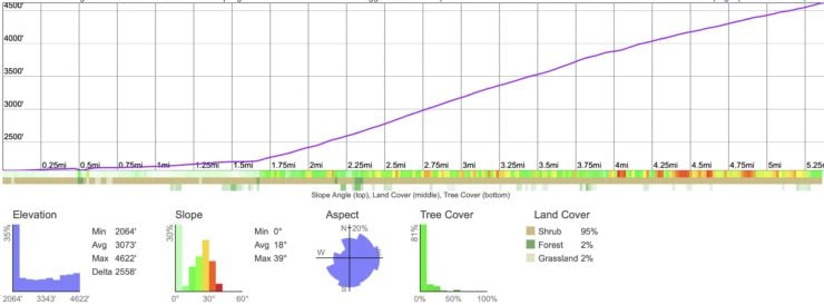
3D Map
Hike Brief
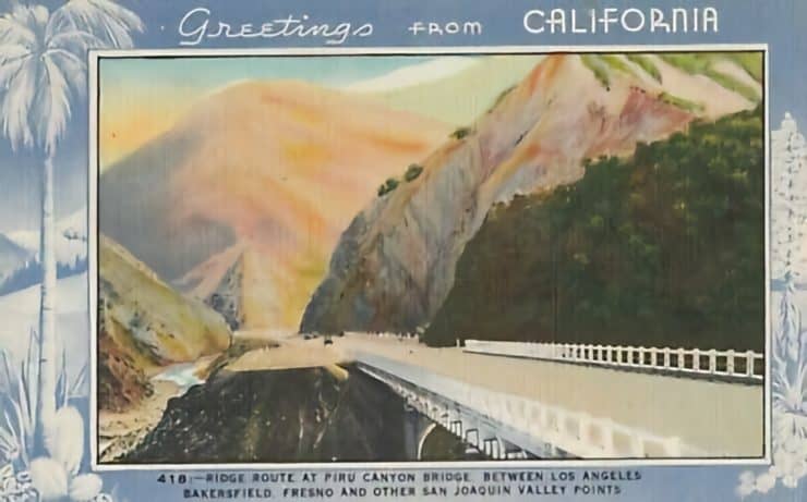
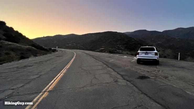
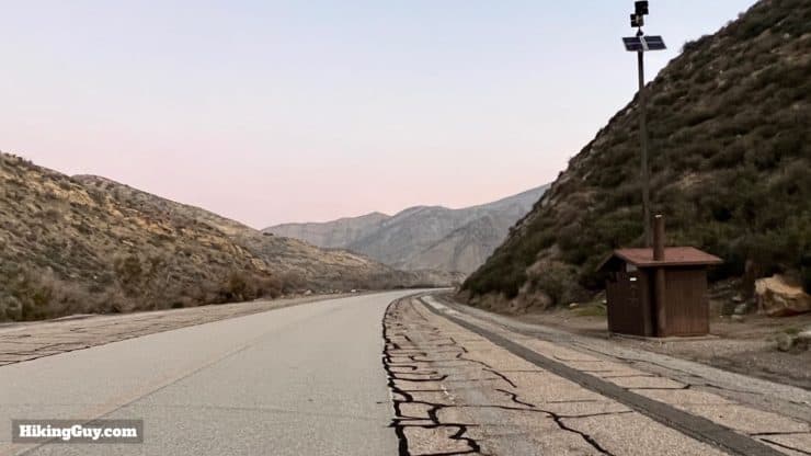
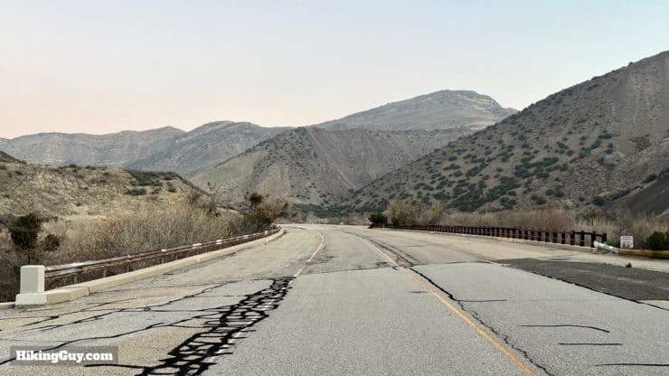
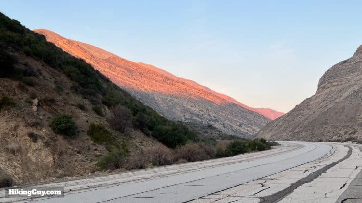
- Before there was I-5, there was US-99, the north-south route up the west coast that was as iconic as Route 66. This hike starts along this road, first built in 1915, and widened to what you see today in 1951, then abandoned in the 1960s when the nearby "ridge route" of I-5 was opened.
- The dramatic and layered rock formations result from movement along the San Gabriel Fault, which loosely follows the same route as the road.
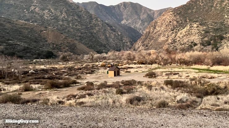
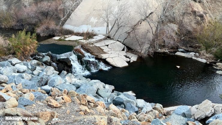
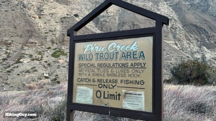
- The road also follows Piru Creek (native Tataviam word for the reeds that grow along the creek), a popular fishing spot. The creek by Frenchmans Flat is stocked with rainbow trout each year.
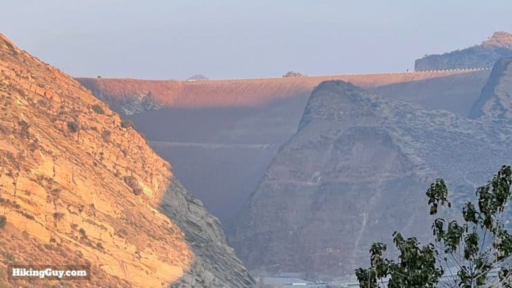
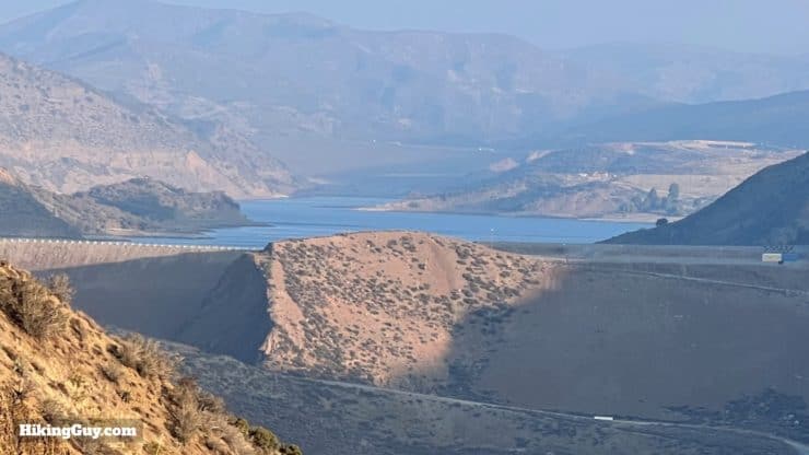
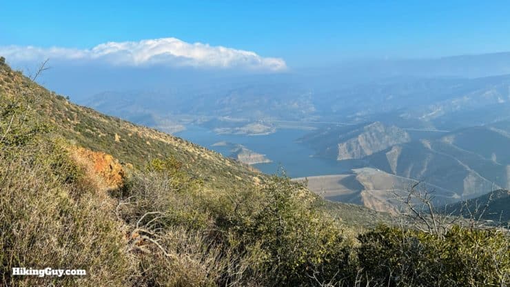
- When US-99 was closed, Piru Creek was dammed and Pyramid Lake was created in 1972, which also submerged portions of US-99. Today Pyramid Lake is a recreation area and reservoir.
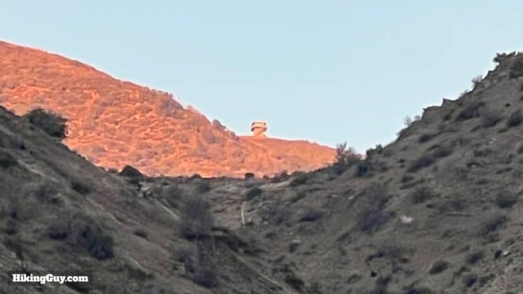
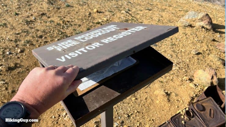
- The Slide Mountain Fire Tower was built in 1969 when Pyramid Lake was being constructed. Today it's on the National Historic Fire Lookout Register and is manned by volunteers during fire season. Volunteers usually spend 1-2 days per month at the tower. And if there's a volunteer there, they'll sometimes let you visit the inside of the tower.
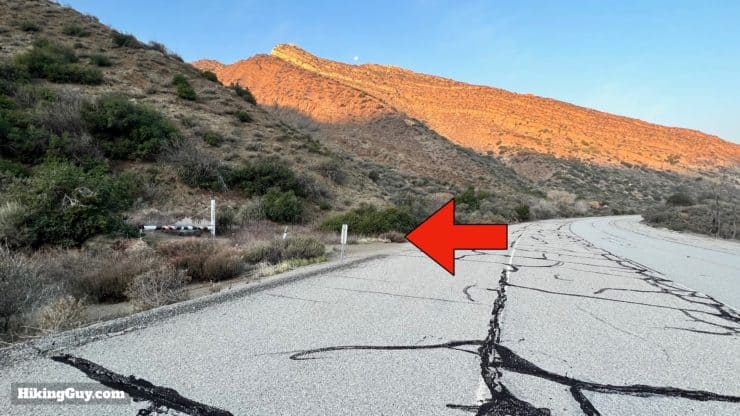
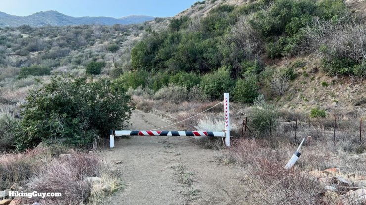
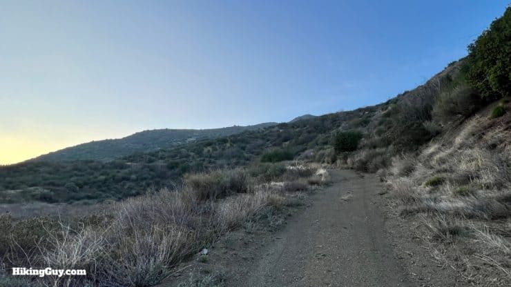
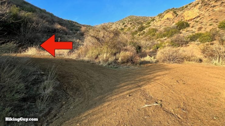
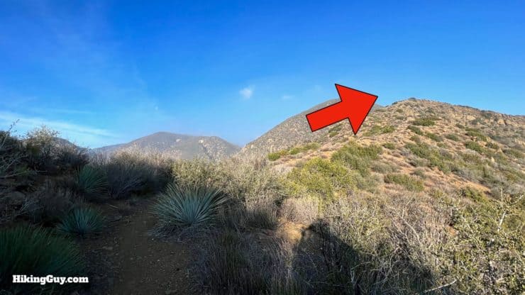
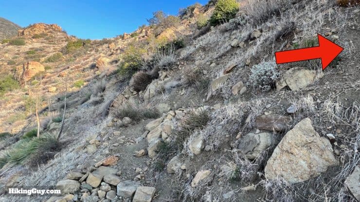
Slide Mountain Lookout Hike Directions
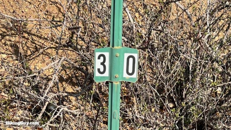
Keep your ears open for the occasional utility vehicle driving on the road.
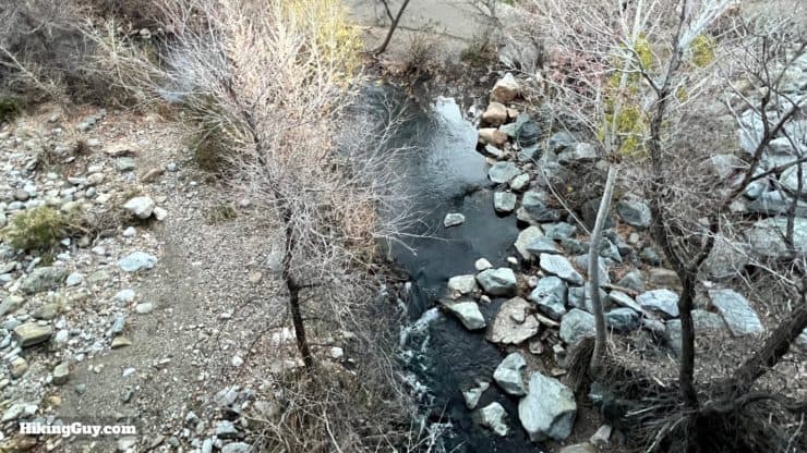
The creek is officially designated as the Piru Creek Wild & Scenic River, a protected area since 2009.

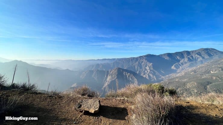
The Sespe Wilderness, created in 1992, includes the Sespe Condor Sanctuary, which is off-limits to humans. I've seen condor on this hike, keep your eyes open, and maybe you will too.
From here, just head back the way you came up.
Need More Info?
- Have a question about the guide or want to see what other people are saying/asking? View the Youtube comments for this video. Leave a comment and I will do my best to respond.
- When planning, always check the park website and social media to make sure the trails are open. Similarly, check the weather and road conditions.
Related Guides
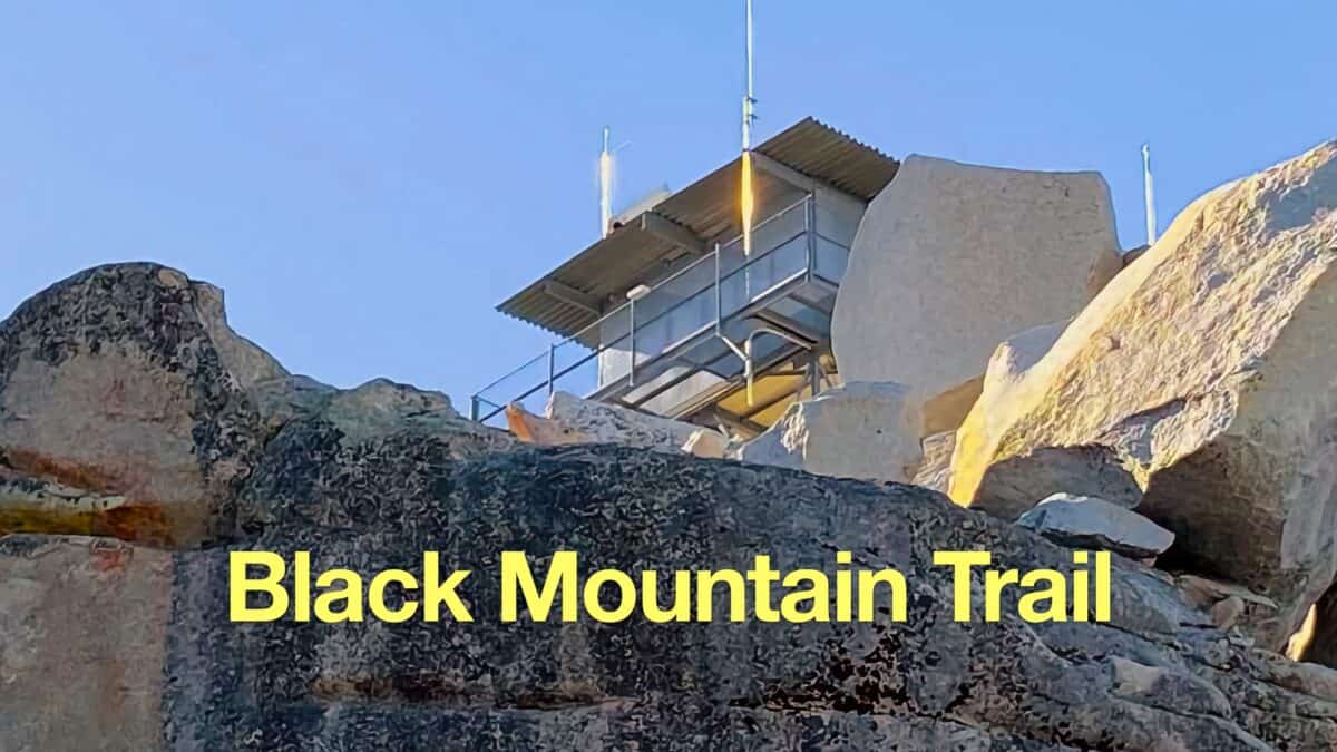 Black Mountain Trail to the Fire Lookout (Idyllwild, CA)
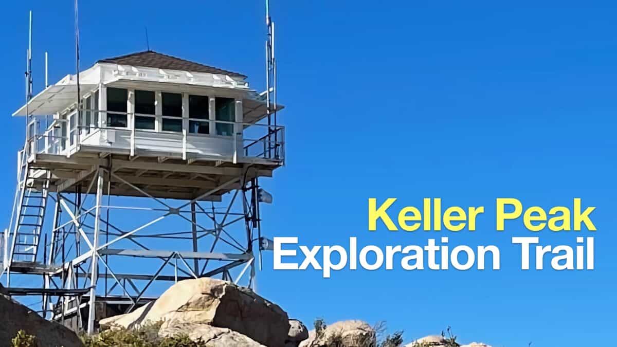 Hike Keller Peak on the Exploration Trail
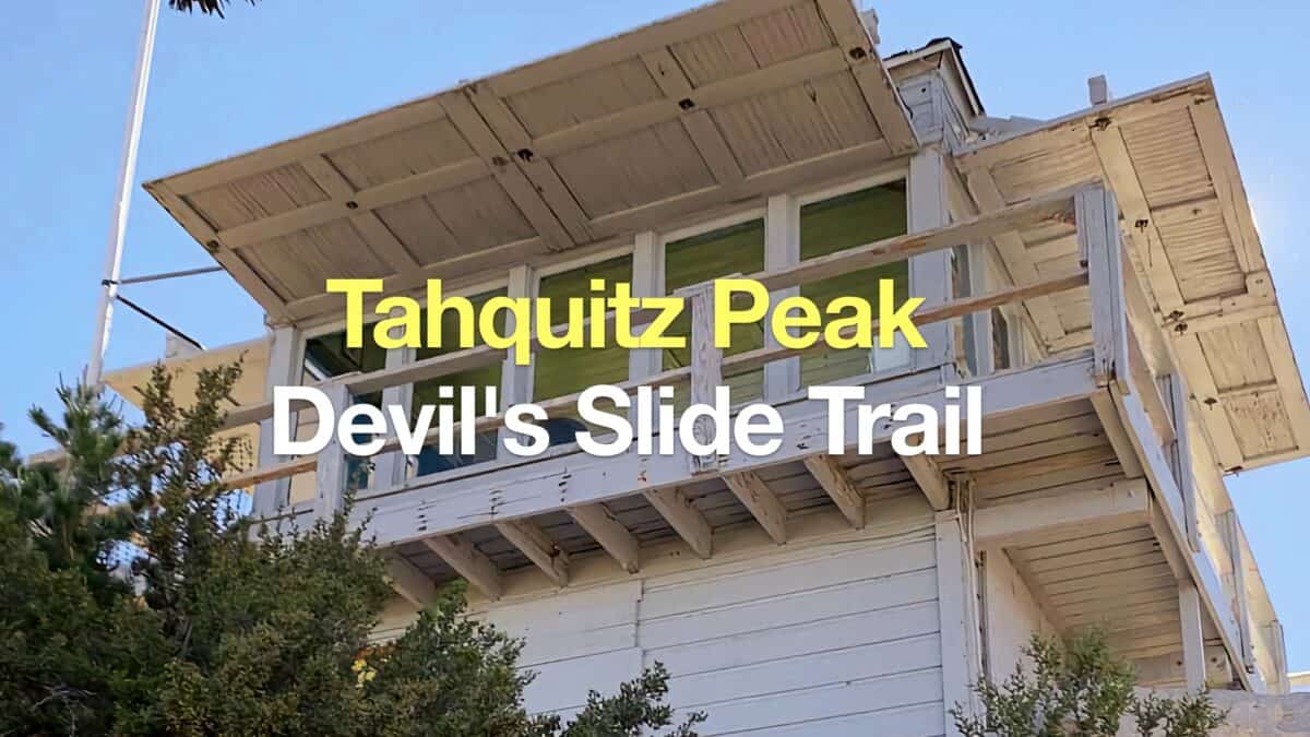 Tahquitz Peak via Devil's Slide Trail Hike
 Los Angeles Hikes
 Angeles National Forest Hikes
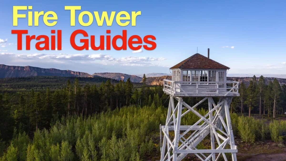 Fire Tower Hikes
 LA Mountain Hikes
Popular Guides
 Best Hiking Gear 2024
 Hiking Boots or Shoes: Do I Really Need Hiking Boots?
 When to Hit SOS on inReach
This Guide Was Written by Cris Hazzard

Hi, I'm Cris Hazzard, aka Hiking Guy, a professional outdoors guide, hiking expert, and author based in Southern California. I created this website to share all the great hikes I do with everyone else out there. This site is different because it gives detailed directions that even the beginning hiker can follow. I also share what hiking gear works and doesn't so you don't waste money. I don't do sponsored or promoted content; I share only the gear recommendations, hikes, and tips that I would with my family and friends. If you like the website and YouTube channel, please support these free guides (I couldn't do it without folks like you!). You can stay up to date with my new guides by following me on YouTube, Instagram, or by subscribing to my monthly newsletter.