
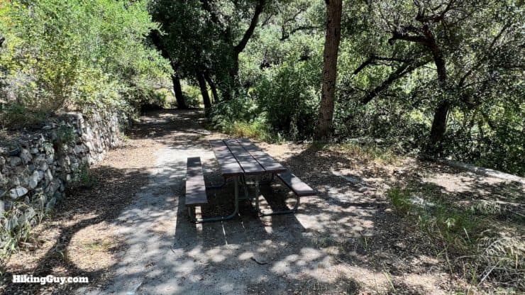
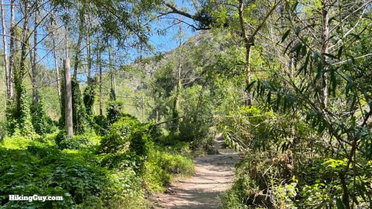
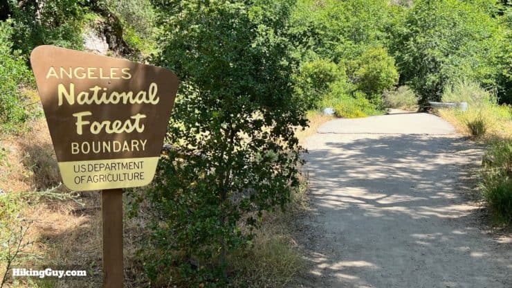
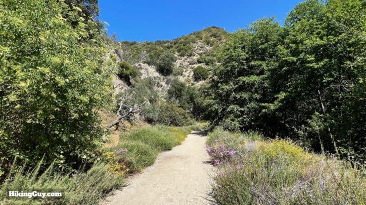
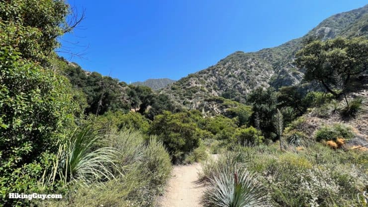
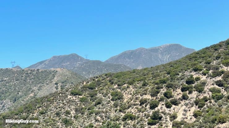
Hiking to the Brown Mountain Dam waterfall hike quickly transports you from suburban LA to a natural wonderland. You'll start in suburban Altadena, then follow the Arroyo Seco, a lifeline watershed, into Angeles National Forest, to the hidden waterfall at the abandoned Brown Mountain Dam. The shaded trail passes ruins, secluded picnic areas, and beautiful willows, oaks, and sycamores. Today it's a flat and relatively easy hike that's fun for all levels of hiker.
- Video and Turn-by-Turn Directions to Hike Brown Mountain Dam
- Where to Park at JPL
- Insider Tips & Recommendations
This hike is also known as the "JPL Hiking Trail," the "JPL Trail," and the "Arroyo Seco Trail."
Where is the JPL Trail Parking?
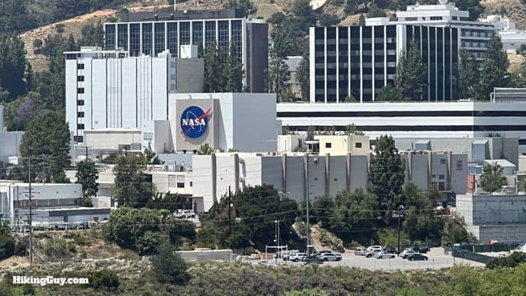
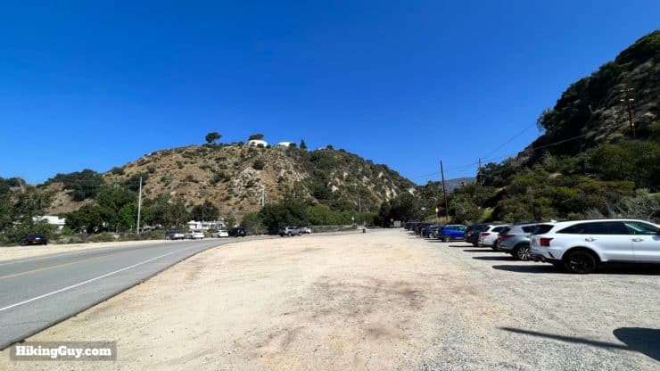
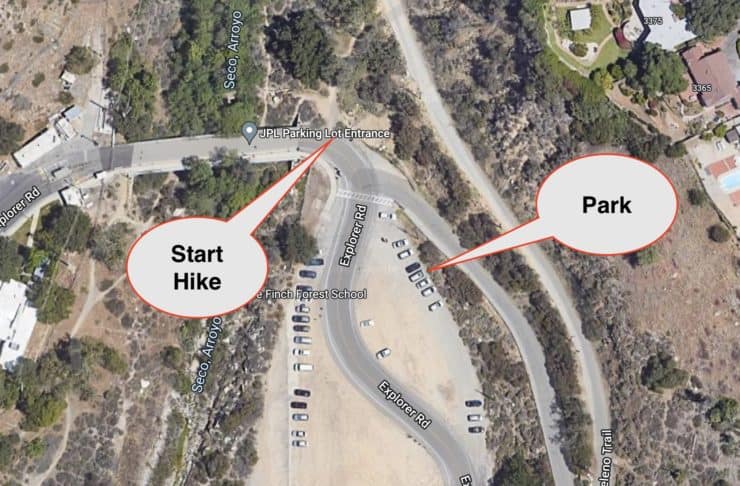
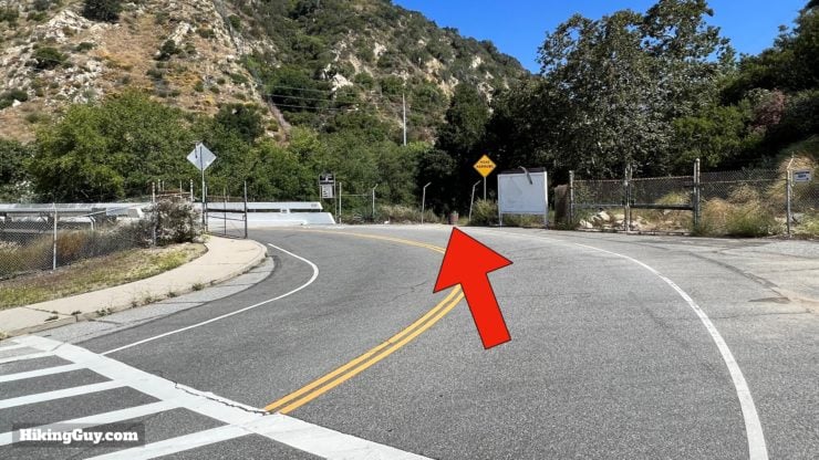
Don't just search for the JPL Parking lot and go. There are multiple "JPL Trail" locations on the mapping services. We will park at the massive lot on the northeast side of NASA's Jet Propulsion Laboratories. Use this address or lat/lon:
JPL Parking Lot Entrance, Explorer Rd, Altadena, CA 91001 - 34.202461220102016, -118.16579655823301
Gear For the Hike
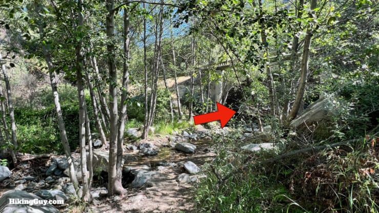
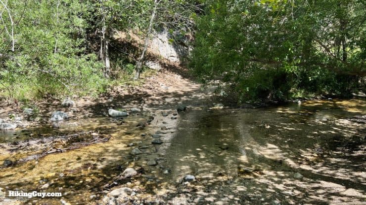
This is a straightforward hike that can be done in fitness clothing or light hiking gear. There are several stream crossings that all have logs and rocks you can use to cross. Using trekking poles can be helpful, as can vented trail runners that get wet and dry quickly. Bring 1-2L of water and don't drink directly from the Arroyo Seco - you have to filter the water here.
Gear That I Love Right Now
Nothing is sponsored or promoted, just the actual gear that I use.


Check out the complete list here. ( Updated July 2024)
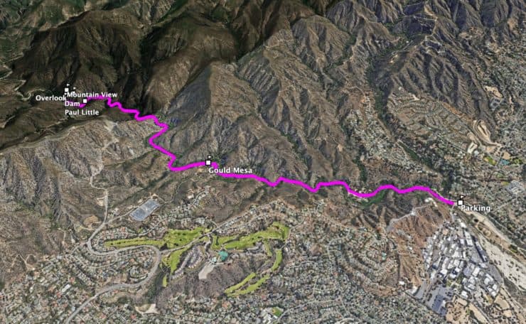
Brown Mountain Dam Trail Maps
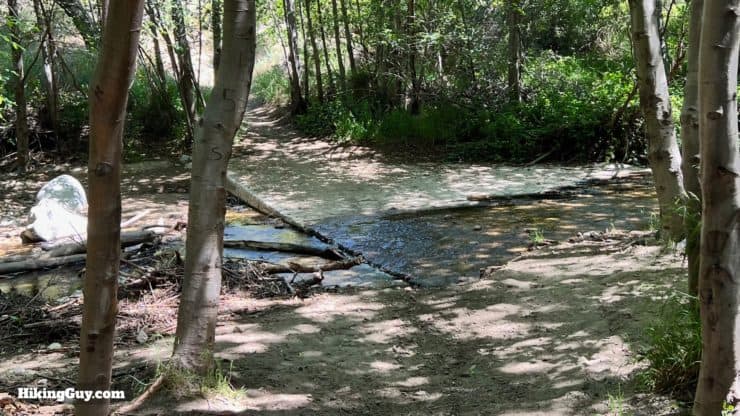
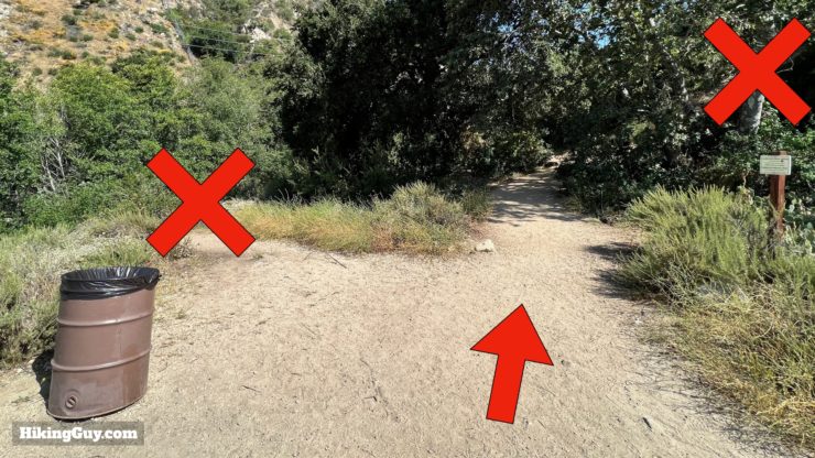
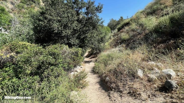
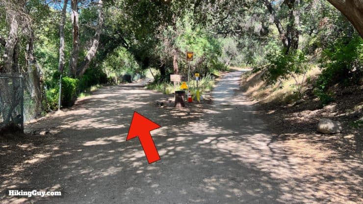
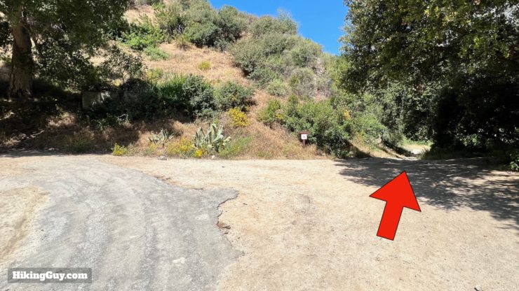
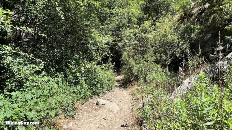
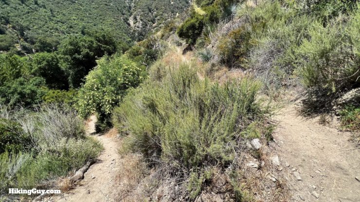
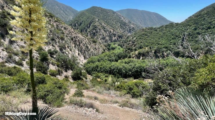
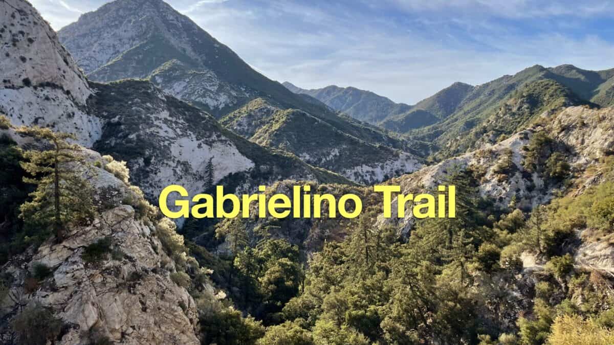
You'll be following the Gabrielino Trail for the majority of the hike. The trail is well-worn and a favorite of hikers and mountain bikers. There are numerous unofficial side trails along the way, but we'll be staying on the (main) Gabrielino Trail along the Arroyo Seco. If you haven't seen or heard the stream in a few minutes, you're probably in the wrong place.
Interactive Trail Map
How Will You Navigate?
 Using the Apple Watch for Hiking
 Garmin Fenix 7 & Epix Review For Hikers
 How To Read a Topographic Map
 Garmin GPSMAP 67i Review
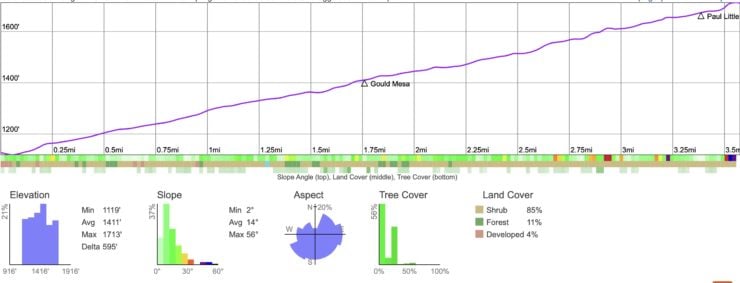
Elevation Profile
3D Map
Hike Brief
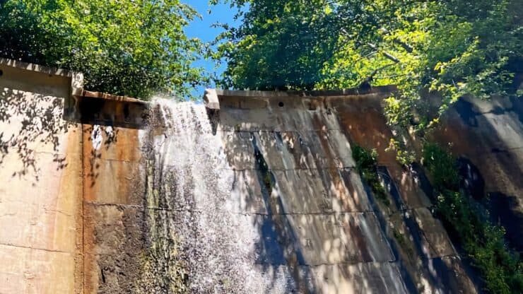
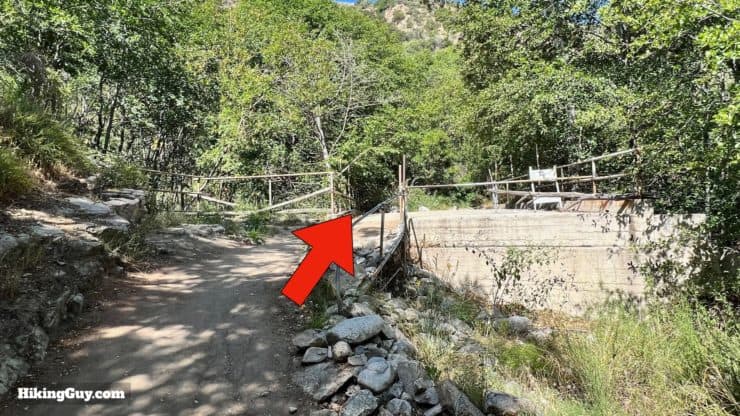
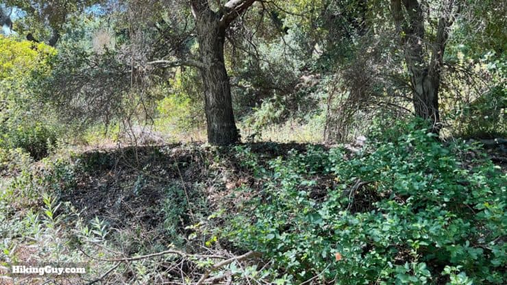
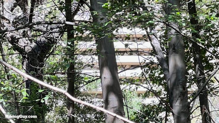
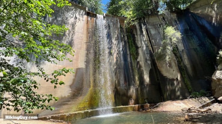
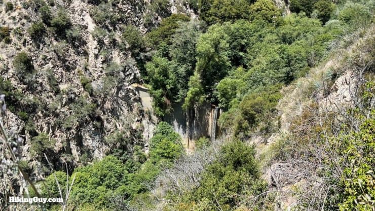
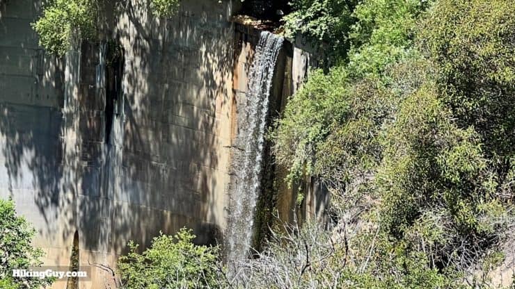
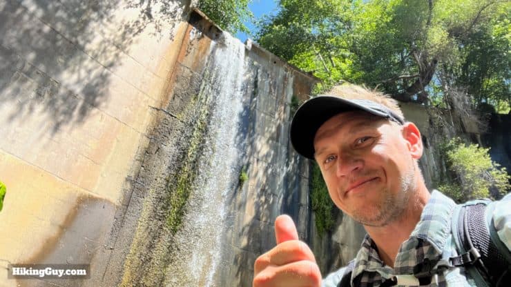
- Brown Canyon Barrier Dam was built in 1943 in an attempt to control flooding from the mountains. In 1938 the “flood of the century” led to deaths and damage in LA. It even destroyed an entire resort, Camp Oakwilde, just a short way up from where the dam is. The powers that be decided to try to control the water flow. There were numerous projects, including paving the LA River. The Brown Mountain Dam was one of those projects.
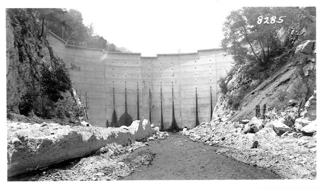
Here's what the dam looked like when it was first built in 1943. - In most cases where humans try to "improve" mother nature, the dam was quickly rendered a failure when the area behind it was filled with silt and debris. Not only that, but the dam prevented the movement of wildlife up and down the Arroyo Seco, disrupting an age-old migration corridor. There's a strong argument for removing dams like this, but it's hard to see how that would happen today. You can dive deeper into the saga of protecting the Arroyo Seco at the Arroyo Seco Foundation's website.
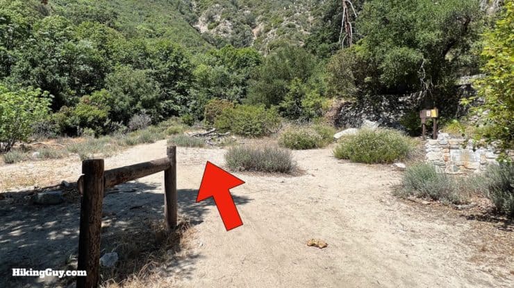
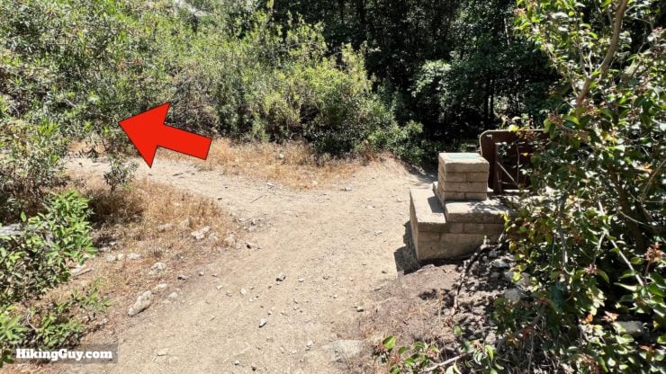
Brown Mountain Dam Hike Directions
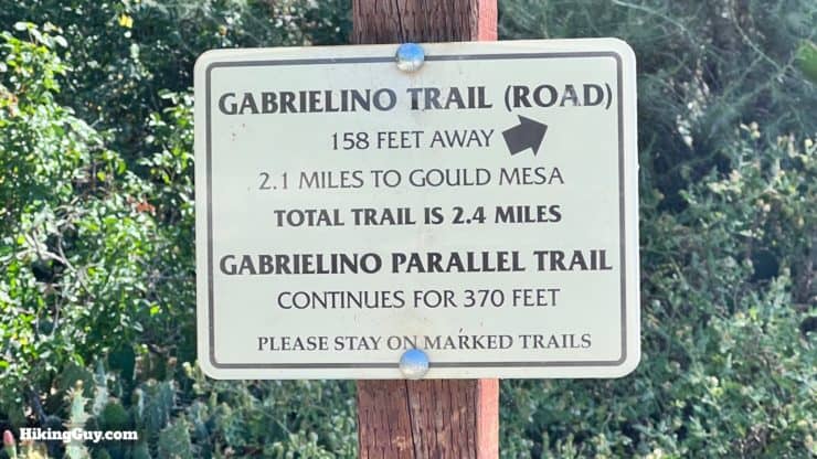
The Gabrielino Trail is named after the native Tongva tribes who lived in the area before the Spanish arrived. It's also the nation's first National Recreation Trail, which “represents its region, supports a diverse community, and is among America's best trails.” I have a full guide to the Gabrielino NRT, along with a deeper dive into its history, in my guide.
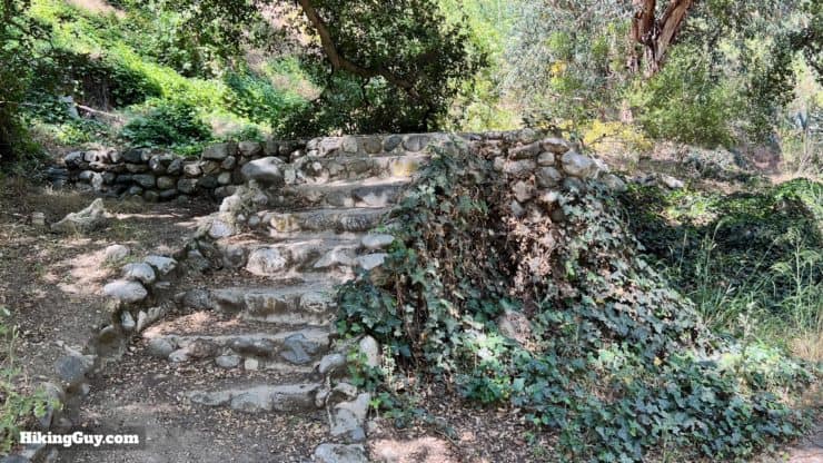
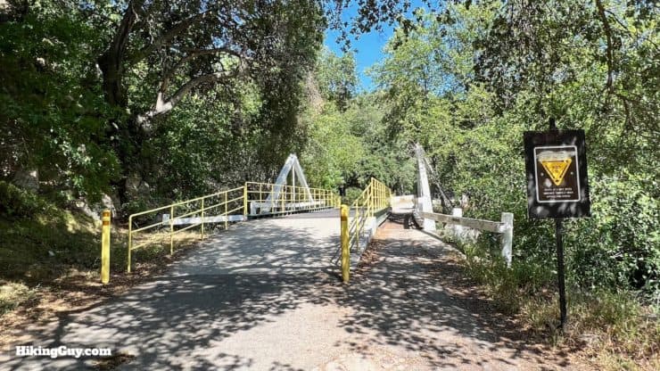
The paved section doesn't last long. About 100 years ago this paved section went all the way up to Camp Oakwilde, about 1.5 miles up from the dam.
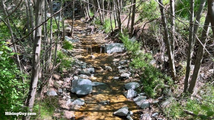
Although Arroyo Seco means "dry stream," it usually flows all year.
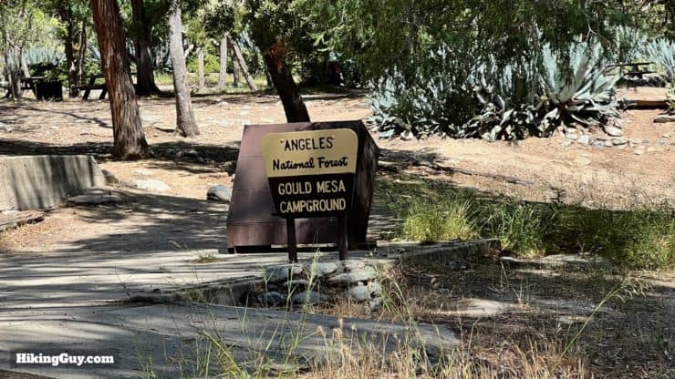
Gould Mesa is named after Will D. Gould (1846-1926), a lawyer whose cases brought him in front of the Supreme Court. Gould was also prominent in the temperance movement. He bought 1,100 acres in eastern La Cañada and created a ranch, and his horse trails stretched into this area.
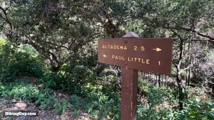
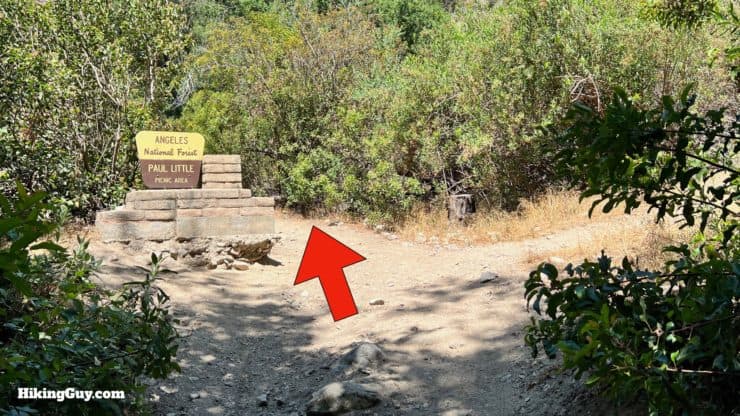
Paul Little worked for LA County parks in the 1950s and 60s and is responsible for creating many of the trails in the area.
Optional Waterfall Viewpoint Extension
If you want to view of the waterfall from above, follow this 0.3 mile extension.
Need More Info?
- Have a question about the guide? Join my Patreon and ask me a question.
- When planning, always check the park website and social media to make sure the trails are open. Similarly, check the weather and road conditions.
- Do you have an update to this guide? View the Youtube comments for this video. Leave a comment and I will do my best to update the guide.
Related Guides
 Gabrielino Trail (NRT) Guide
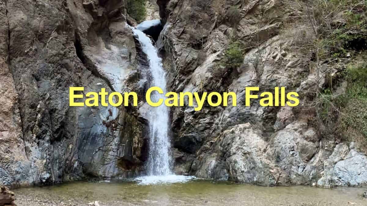 How to Hike To Eaton Canyon Falls
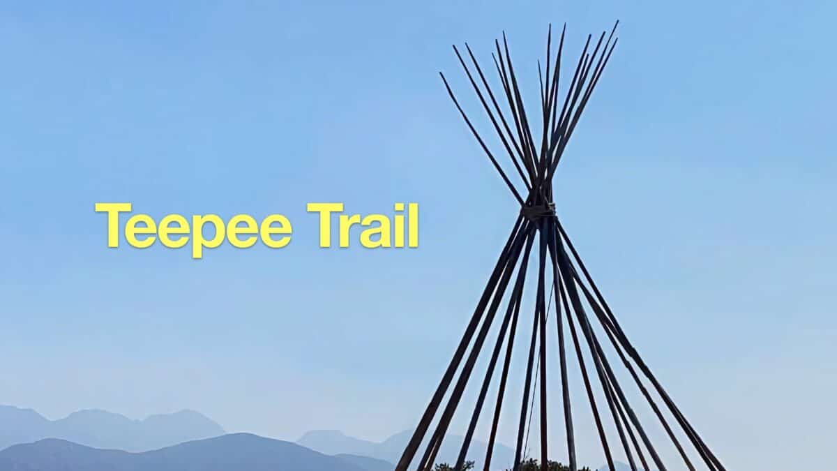 Hike the Teepee Trail (La Cañada Flintridge)
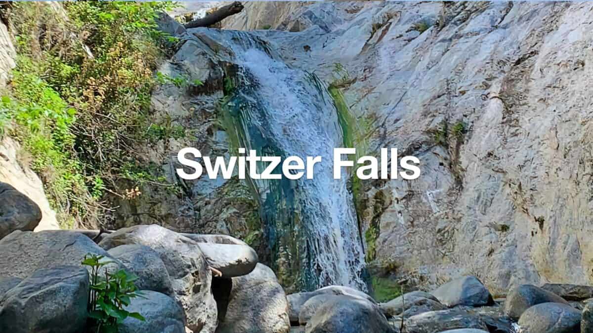 Switzer Falls Hike
 Los Angeles Hikes
 Angeles National Forest Hikes
Popular Guides
 Best Hiking Gear 2024
 Hiking Boots or Shoes: Do I Really Need Hiking Boots?
 When to Hit SOS on inReach
This Guide Was Written by Cris Hazzard

Hi, I'm Cris Hazzard, aka Hiking Guy, a professional outdoors guide, hiking expert, and author based in Southern California. I created this website to share all the great hikes I do with everyone else out there. This site is different because it gives detailed directions that even the beginning hiker can follow. I also share what hiking gear works and doesn't so you don't waste money. I don't do sponsored or promoted content; I share only the gear recommendations, hikes, and tips that I would with my family and friends. If you like the website and YouTube channel, please support these free guides (I couldn't do it without folks like you!). You can stay up to date with my new guides by following me on YouTube, Instagram, or by subscribing to my monthly newsletter.