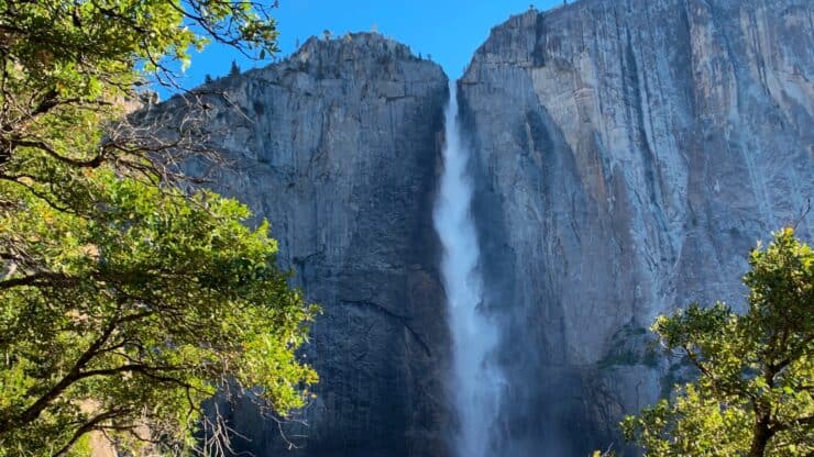

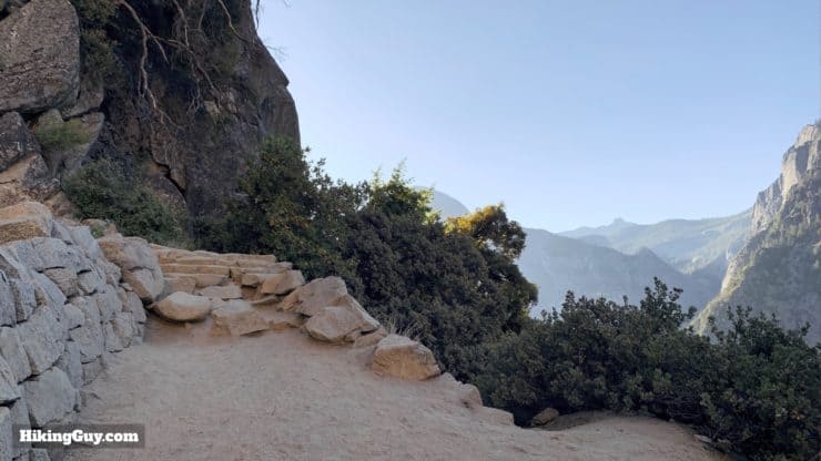
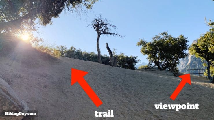
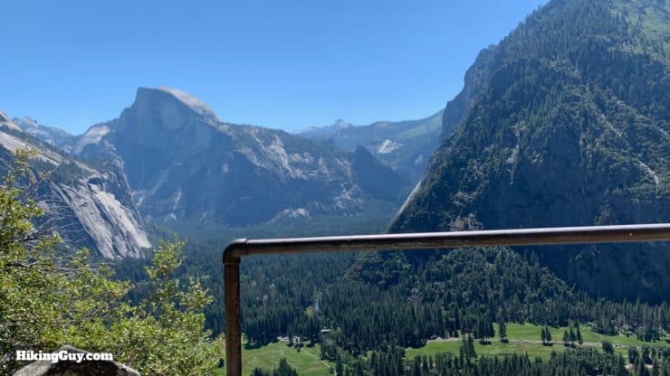
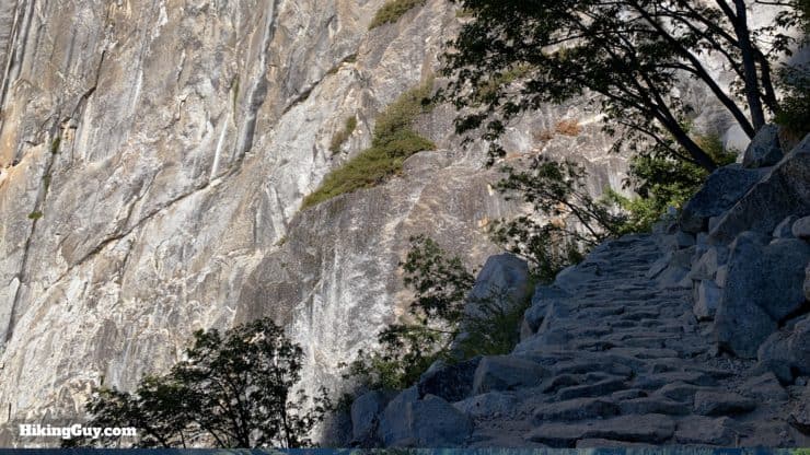
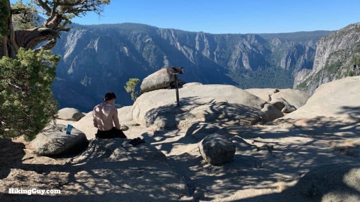
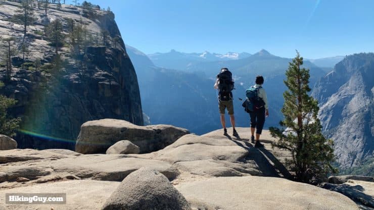
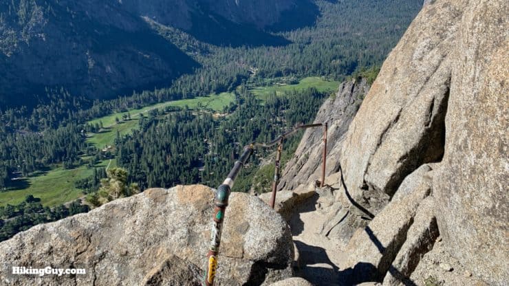
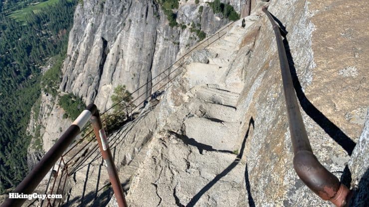
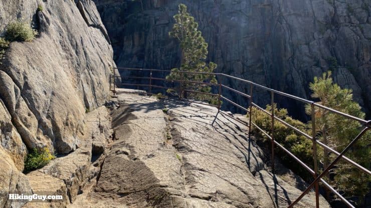
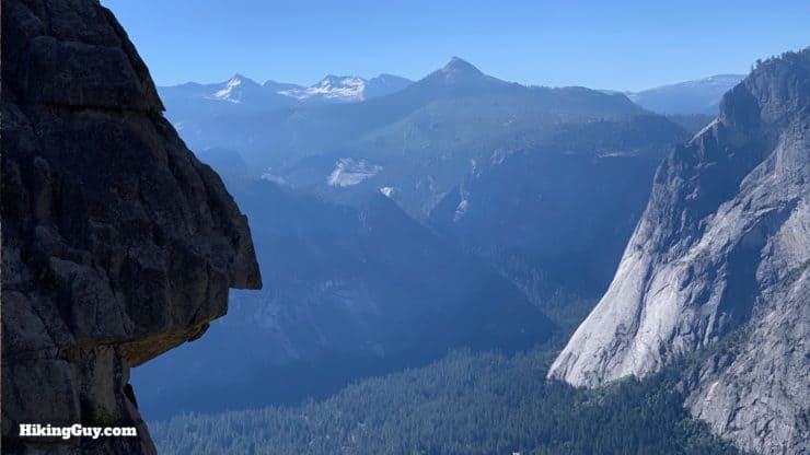
The Upper Yosemite Falls hike is one of the must-do hikes at Yosemite National Park. The trail is an iconic engineering marvel. It's tough, climbing about 3000 feet in 3 miles, but the incredible scenery makes your heart light even when your legs feel heavy. You're treated to panoramic views of the Yosemite Valley, Half Dome and the high peaks, and of course, Upper Yosemite Falls. The falls are the tallest waterfall in North America at 2425 feet, and you'll be able to see it from many angles as you hike to the top. And at the top, you can simply take in the views, or even hike onto a viewing platform carved into the granite wall. Give the hike a go; the memories will stick with you for a lifetime.
- Video & Turn by Turn Directions to Hike Upper Yosemite Falls
- How to Get to Upper Yosemite Falls
- Everything You Need to Know To Prepare for the Hike
The Upper Yosemite Falls hike is one of the must-do hikes at Yosemite National Park. The trail is an iconic engineering marvel. It's tough, climbing about 3000 feet in 3 miles, but the incredible scenery makes your heart light even when your legs feel heavy. You're treated to panoramic views of the Yosemite Valley, Half Dome and the high peaks, and of course, Upper Yosemite Falls. The falls are the tallest waterfall in North America at 2425 feet, and you'll be able to see it from many angles as you hike to the top. And at the top, you can simply take in the views, or even hike onto a viewing platform carved into the granite wall. Give the hike a go; the memories will stick with you for a lifetime.
Tip: Go at sunrise to beat the crowds, which can be extreme on this popular trail.
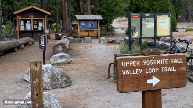
Getting to the Upper Yosemite Falls Trail
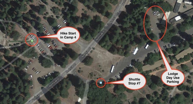
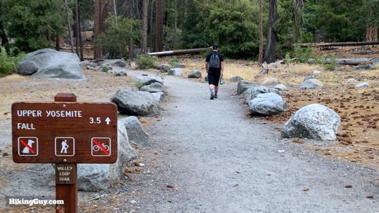
The trail to Upper Yosemite Falls starts right in the middle of Yosemite Valley, which is a good and bad thing. It's good because it's easy to get to, but because it's easy to get to, it's generally crowded. If you are leaving early, you can generally snag a parking spot about 10 minute's walk away from the trailhead. Otherwise you can take the free shuttle bus there. The trailhead for Upper Yosemite Falls starts at Camp 4.
Camp 4, close to the boulders and cliffs of Yosemite, played an important role in the development of rock climbing. In the mid 1950s and 60s many climbers would stay here for months honing their craft. Yvon Chouinard, founder of Patagonia, made and sold climbing gear in the parking lot of Camp 4.
- If you happen to be staying at Camp 4, you can park there.
- There is a free green shuttle bus stop at Camp 4, which is shuttle bus stop #7.
- There is a small parking lot to the west of Yosemite Lodge that fills up quickly, but is generally wide open in the early morning.
Here's the trailhead address for Camp 4 if you're driving there:
Yosemite Falls Trail, Yosemite Valley, CA 95389
Gear For the Hike
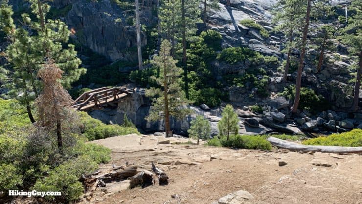
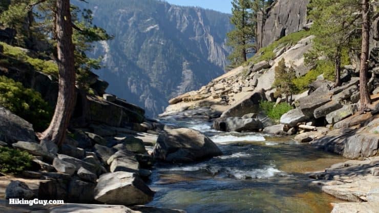
This is a tough hike and I highly recommend using proper hiking gear, although you can get away with fitness clothing in a pinch. The hike is steep, and trekking poles help pull yourself up the trail and stabilize yourself on the way down. You'll need water, I recommend 2-3L depending on the heat. You can refill your water at the Yosemite Creek Bridge (see the directions), but use a water filter. And you'll want to bring some snacks. You'll likely burn a lot of energy getting up to the top.
And like most of Yosemite, in the winter this trail will be covered with snow and ice, and in the hot summer months, the exposed sections of trail will be very hot. Prepare for the conditions and give the hike a pass if there's snow and ice.
Gear That I Love Right Now
Nothing is sponsored or promoted, just the actual gear that I use.


Check out the complete list here. ( Updated July 2024)
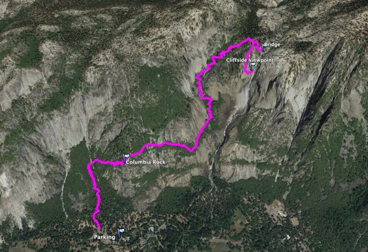
Upper Yosemite Falls Trail Maps
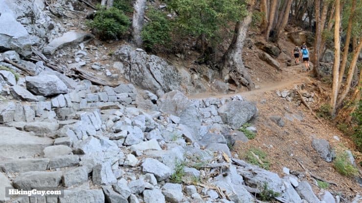
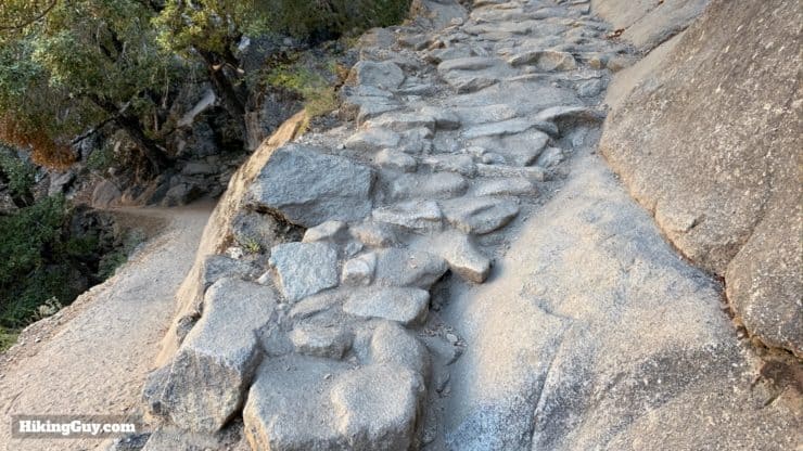
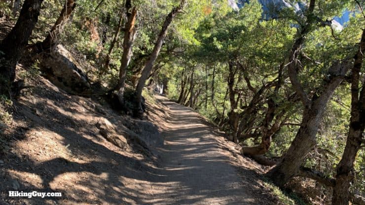
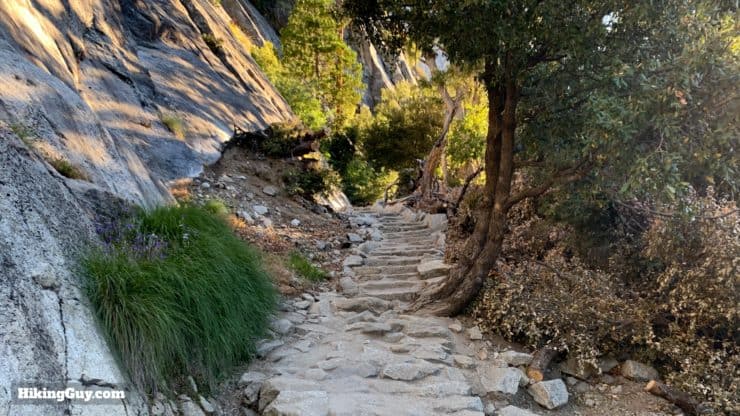
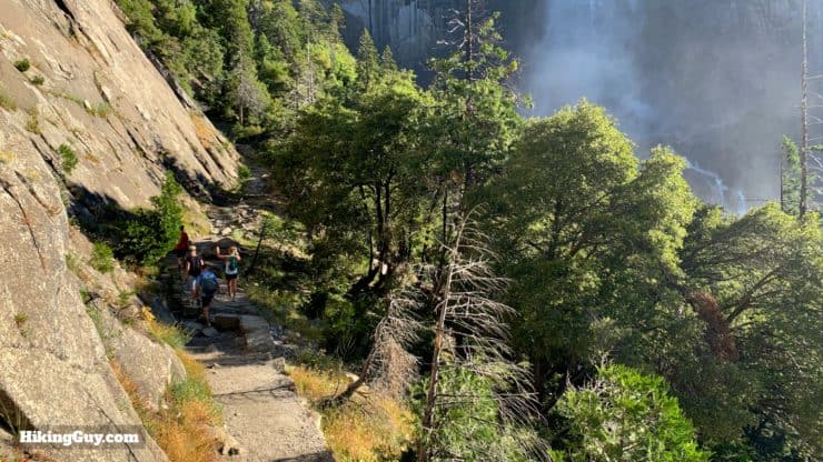
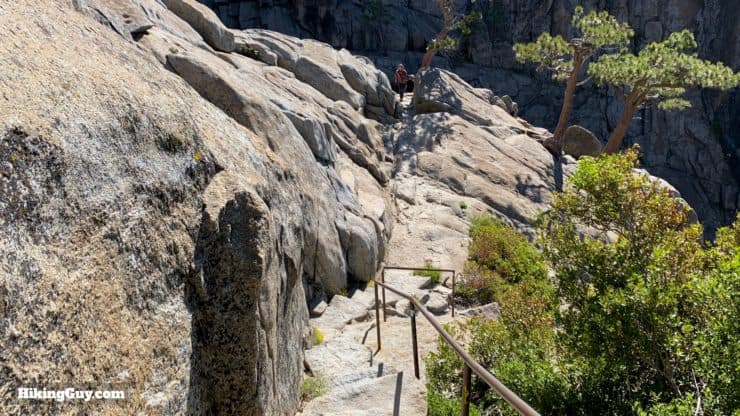
The trail is one of the busiest in the park and is actively maintained by the parks service. Overall the trail is easy to follow, but steep.
The trail to Upper Yosemite Falls is one of the park's oldest, having been built between 1873 and 1877. It was built by the man John Muir dubbed "Yosemite's master trail builder," John Conway. Conway is also responsible for building Glacier Point Road and for putting the holes into the granite of Half Dome used in the cables section.
How Will You Navigate?
 Using the Apple Watch for Hiking
 Garmin Fenix 7 & Epix Review For Hikers
 How To Read a Topographic Map
 Garmin GPSMAP 67i Review
Yosemite Falls Hike Landmarks
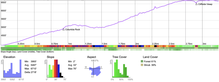
| Landmark | Distance | Elevation |
|---|---|---|
| Camp 4 | 0 | .3990 |
| Valley Loop Trail | 0.1 | 4020 |
| Columbia Rock | 1.0 | 4980 |
| Top of Climb | 3 | 6640 |
| Falls Overlook | 3.6 | 6670 |
Elevation Profile
3d Map
Lower Yosemite Falls
Want to hike to Lower Yosemite Falls? It's a short walk on a paved path across the street from Yosemite Lodge. I wouldn't call it a hike, but it's nice enough if the crowds don't drive you crazy. Otherwise let's continue to the big guy, Upper Yosemite Falls, with the directions below.
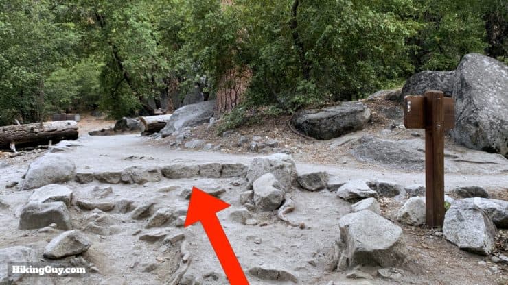
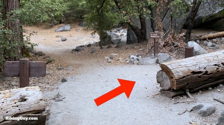
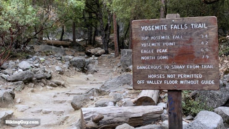
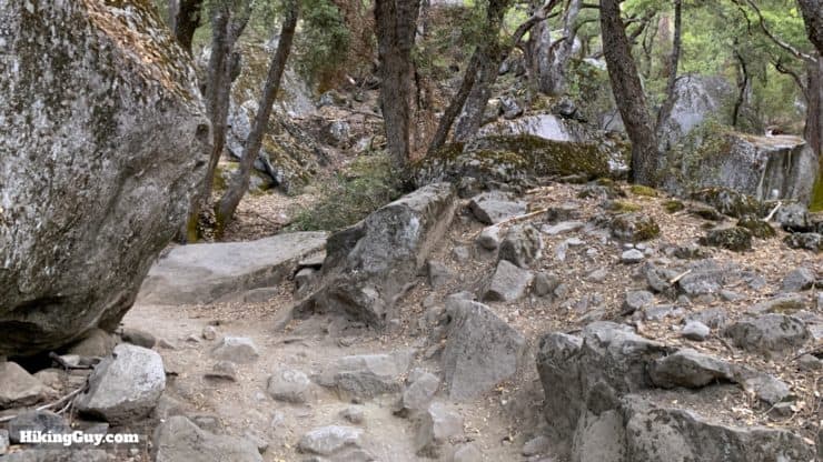
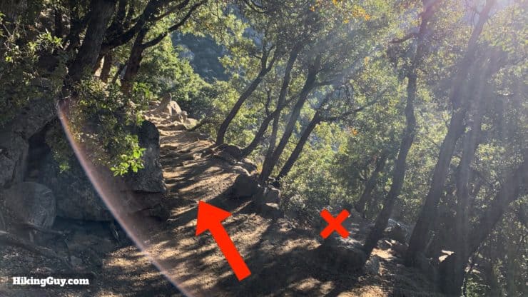
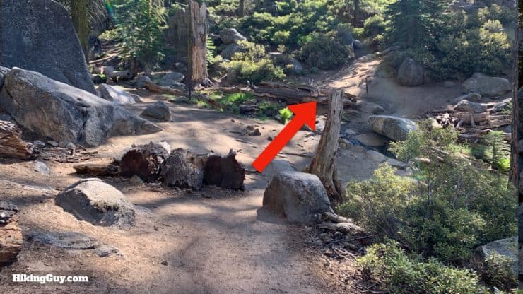
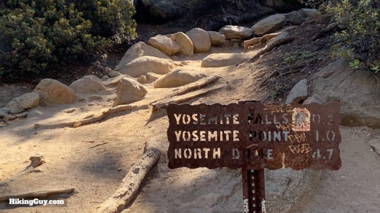
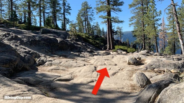
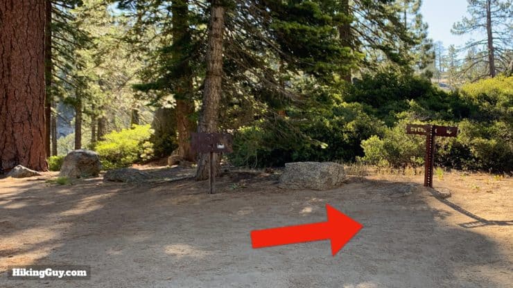
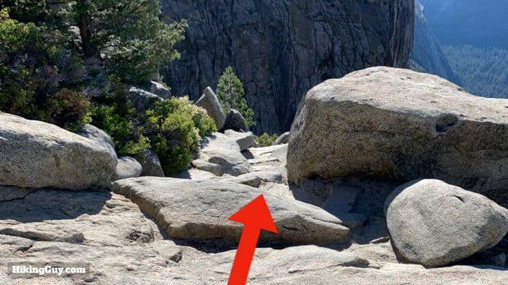
Upper Yosemite Falls Hike Directions
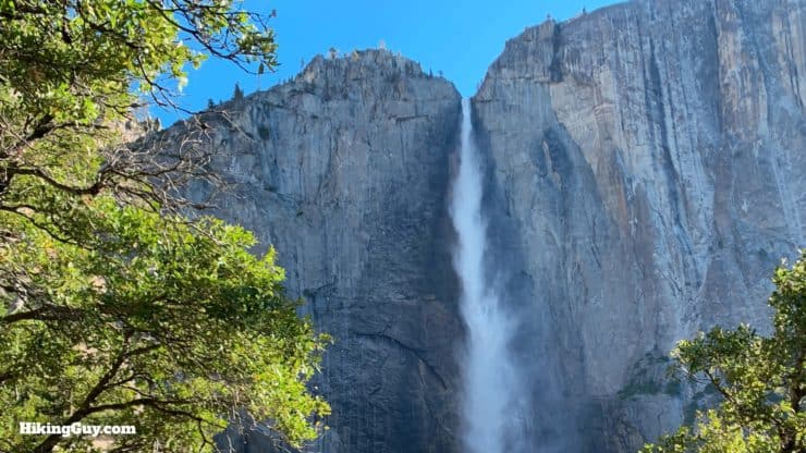
Late spring is the best time to see the falls. In later summer the falls can be dry and non-existent. Check out the webcam to see what the flow is like. It's still a nice hike even if the falls are dry!
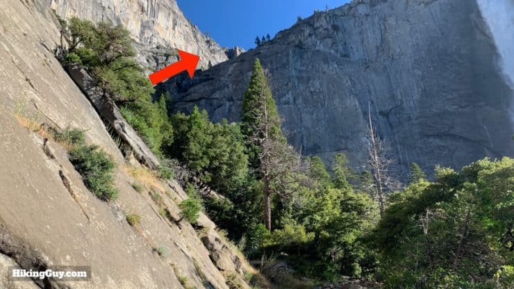
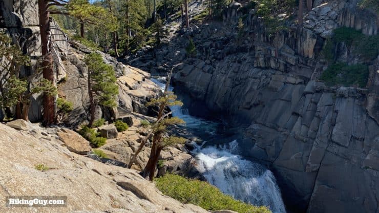
From here you just head back the way you came. I highly recommend a quick stop at the Yosemite Creek bridge on your way back. I have the junction noted in the previous steps.
Need More Info?
- Have a question about the guide? Join my Patreon and ask me a question.
- When planning, always check the park website and social media to make sure the trails are open. Similarly, check the weather and road conditions.
- Do you have an update to this guide? View the Youtube comments for this video. Leave a comment and I will do my best to update the guide.
Related Guides
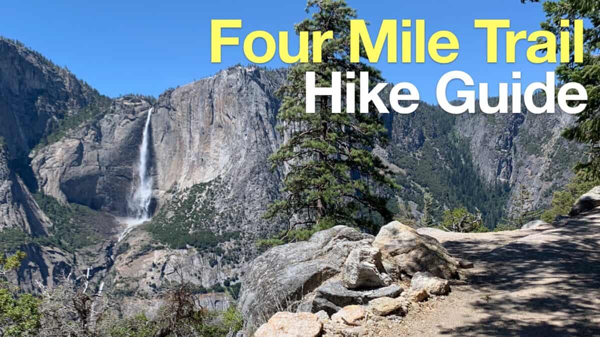 Four Mile Trail Hike Guide
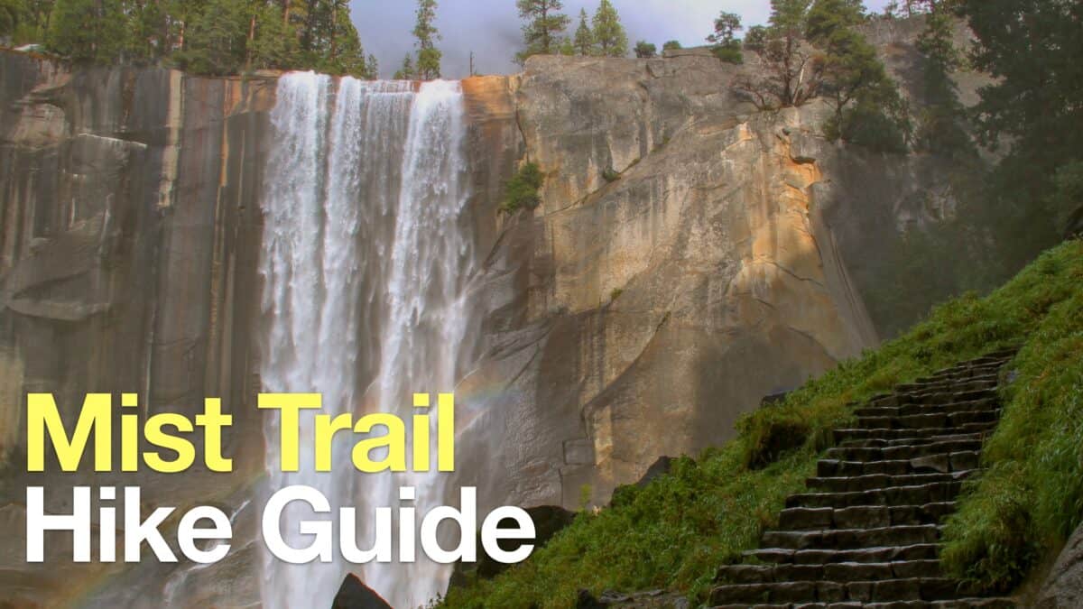 Mist Trail to Vernal and Nevada Falls
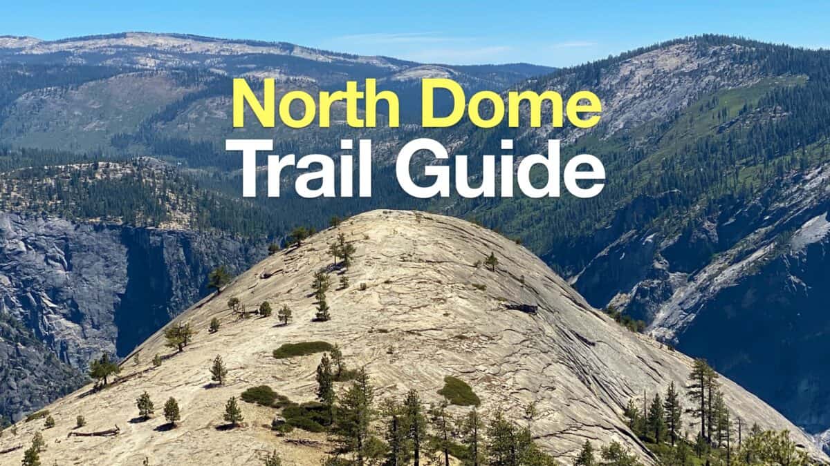 North Dome Hike
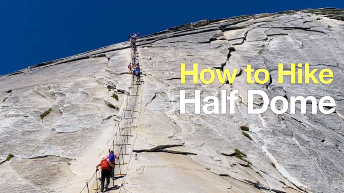 How To Hike Half Dome
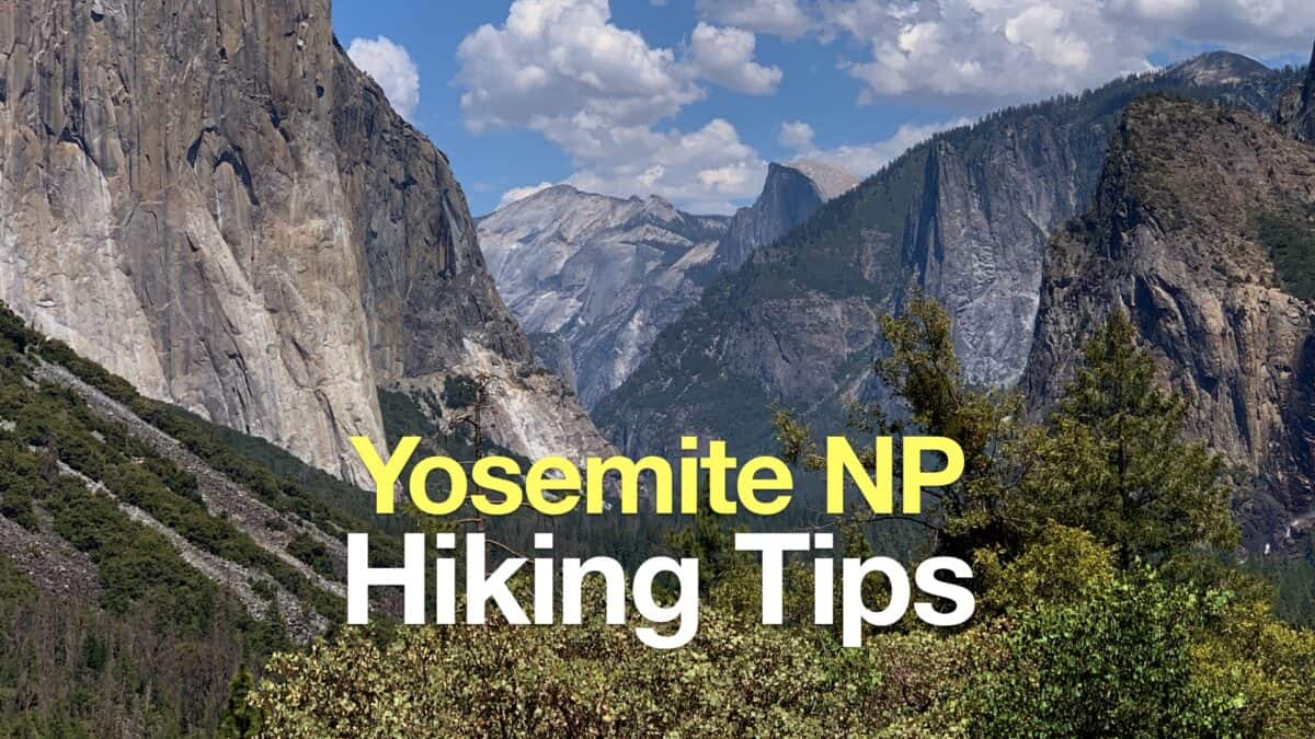 Yosemite Hiking Tips
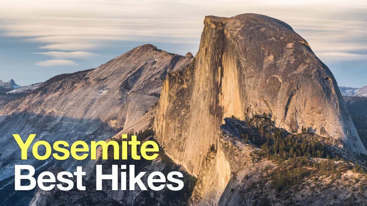 Yosemite Hikes
Popular Guides
 Best Hiking Gear 2024
 Hiking Boots or Shoes: Do I Really Need Hiking Boots?
 When to Hit SOS on inReach
This Guide Was Written by Cris Hazzard

Hi, I'm Cris Hazzard, aka Hiking Guy, a professional outdoors guide, hiking expert, and author based in Southern California. I created this website to share all the great hikes I do with everyone else out there. This site is different because it gives detailed directions that even the beginning hiker can follow. I also share what hiking gear works and doesn't so you don't waste money. I don't do sponsored or promoted content; I share only the gear recommendations, hikes, and tips that I would with my family and friends. If you like the website and YouTube channel, please support these free guides (I couldn't do it without folks like you!). You can stay up to date with my new guides by following me on YouTube, Instagram, or by subscribing to my monthly newsletter.