Offering dramatic views into some of the most dramatic landscapes in the world, the beauty of the Telescope Peak hike will leave you breathless. You'll hike up a well-maintained trail to Death Valley's highest point, Telescope Peak, towering eleven-thousand feet over the lowest point in the USA, Badwater Basin. The trail passes through alpine meadows, amongst ancient bristlecone pines, along rocky ridges, and ends at an epic panoramic peak. Add Telescope Peak to your bucket list if you haven't done it already.
In this Guide:
Video and Turn-by-Turn Directions for the Telescope Peak Hike
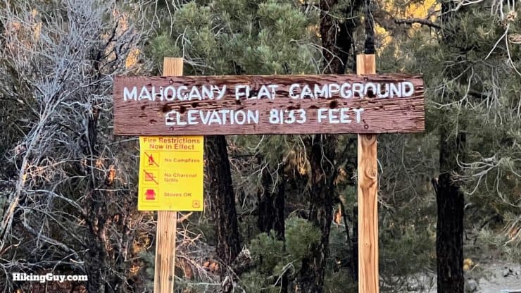
The short answer is that this hike is about as far away from anything as you can be. Specifically it's in the western part of Death Valley National Park, the largest National Park in the lower-48. The hike starts from the Mahogany Flat Campground. Use this trailhead address: Mahogany Flat Campground, Death Valley, CA, 92328
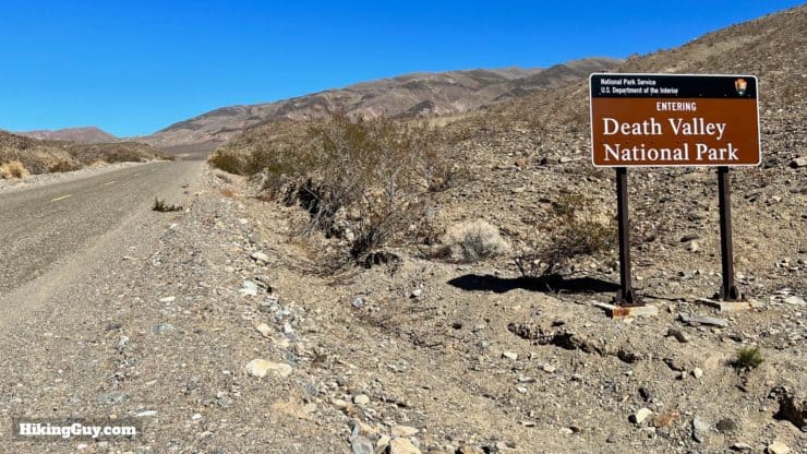
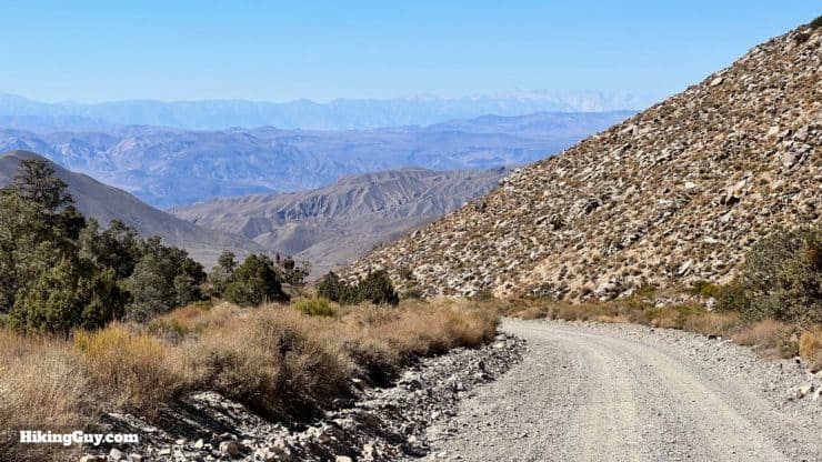
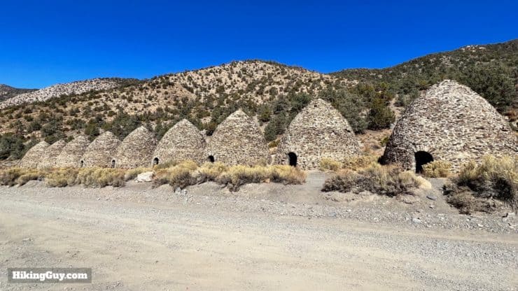
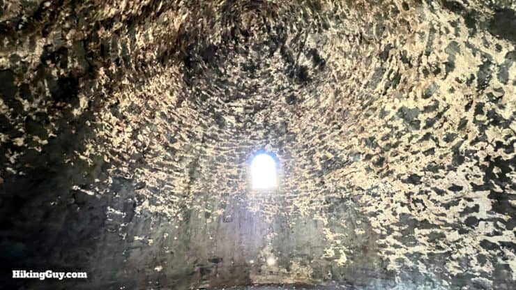
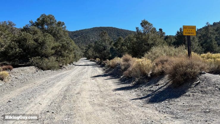
There's no entrance booth on the way into the park here, just a sign. Grab a National Parks Pass just in case, but I've never seen rangers checking for park passes here.From most approaches you'll be driving up from sea level to over 8000 feet. Don't forget to stop and check out the views behind you as you drive in.At about 1.6 miles before the trailhead, you'll arrive at Wildrose Canyon and the charcoal kilns, built in 1877. Pine trees were taken off the mountain, burnt into charcoal here, and then used to smelt silver and lead ore in the valley to the west.Here's what the kilns look like inside.After the kilns you'll see a sign recommending only 4x4 vehicles. The state of the road changes every spring, but every time I've come here, I've seen low-clearance sedans at the upper trailhead, so you can probably drive on it too. If you don't feel comfortable, you can park here and hike the 1.6 miles up.
The road to Mahogany Flat can be closed from late fall to late spring because of snow. Check the park website before you drive all the way out here.
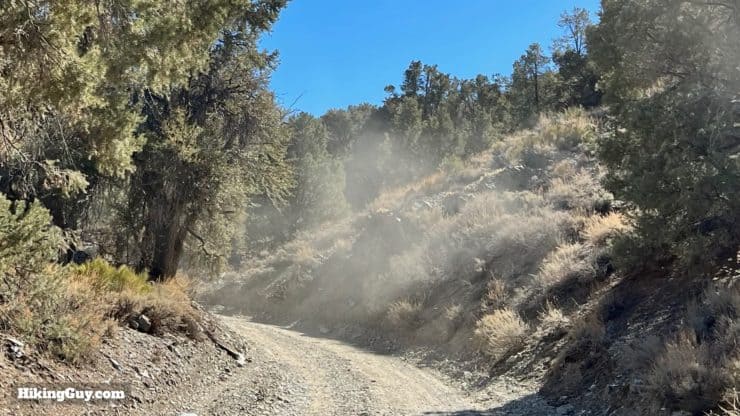
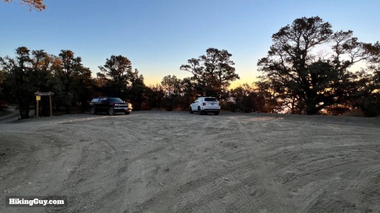
This section of road is washboarded but drivable if you go slow. It's only one lane wide, so someone may have to back up if you need to pass opposing traffic.Here's the trailhead parking at Mahogany Flat.You can stay at Mahogany Flat overnight, a popular option for those wanted to start the hike at sunrise.
Mahogany Flat Campground is free, first-come-first-serve, offers pit toilets, but no water.
Gear For the Hike
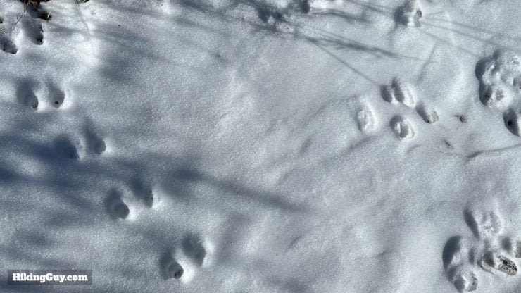
Snow in Death Valley NP. If you are hiking in a shoulder season, bringing micro-spikes is a smart move to deal with any snowy or icy trail sections. Late June to October are usually snow-free.
You're truly in the backcountry here, so prepare accordingly.
Bring all the water you need, including water for before and after the hike. I carry 3L of water on the hike.
Don't confuse Death Valley weather with Telescope Peak weather. It's often 40-60F cooler at these elevations, and frequent wind can make it even colder. And as I mentioned, it's often snowed in and closed for a large part of the year. I usually carry basic winter gear including a puffer jacket, knit hat, and gloves.
Trekking poles will help on the slopes.
The sun can be harsh as it bounces off the desert below.
If there are thunderstorms, lightning will be striking along the ridge, so you'll want to bail quickly.
Gear That I Love Right Now
Nothing is sponsored or promoted, just the actual gear that I use.
The dramatic landscape and incredible views make the Telescope Peak Trail a popular option for backcountry camping. You can overnight it with your car at the Mahogany Flat Campground, or hike to a primitive tent site along the trail, which is free. Permits are optional but prudent in case of an emergency.
There are many places to camp, and I would recommend finding an existing tent site to minimize your impact on this fragile environment. Also note that the Telescope Peak Trail can get very windy; it can be hard to sleep with the winds whipping the way they do. I've highlighted a handful of decent tent sites on the map, and have some pictures of them below.
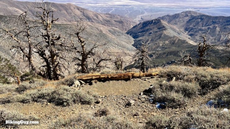
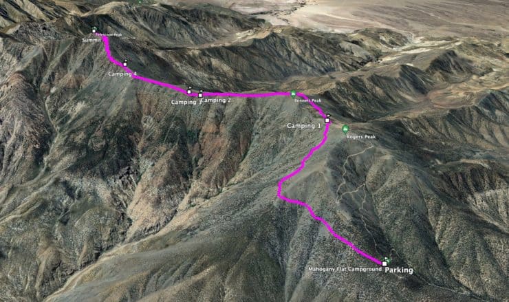
Camping 1: Just past the 2 mile marker and slightly off the trail at the start of Arcane Meadows. This is the first place where you are allowed to camp. It offers nice views of Telescope Peak and some respite from the wind on the flat.Camping 2: This spot lies below the trail on a small plateau with views east into Hanaupah Canyon, Death Valley and Badwater Basin.Camping 3: This is close to the last site, but on the other side of the ridge with views west into Jail Canyon and the Panamint Valley.Camping 4: A spot closer toward the final climb to the summit, with views to the east and west and some protection from the wind.Summit: If you are a real masochist, you can setup a bivy in one of the little clearings on the summit.
Telescope Peak Trail Maps
Overall the Telescope Peak Trail is in great condition, maintained by the Park Service, and a one-way shot to the summit without any (official) junctions or side trails. Just hop on the trail and follow it until you get to the summit.
From the trailhead it's a tough 1500 feet of climbing in 2 miles. Then you have a nice cruise-friendly middle section along the ridge of the Panamint Mountains, and then tackle the final steep ascent to the peak. The trail is almost entirely exposed.
Landmarks on the Hike
Landmark
Distance
Elevation
Trailhead
0
8133
Arcane Meadows and Saddle
2.1
9680
Clear Bennett Peak
3.5
9530
Start Final Climb
5
10110
Summit
6.2
11049
3D Map
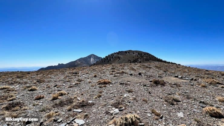
Form the parking area we'll head south and up the east side of Rogers Peak. Then we gain the ridge, wind around Bennett Peak, and approach the foot of Telescope Peak. From there we have the final climb to the summit.
Telescope Peak Hike Directions
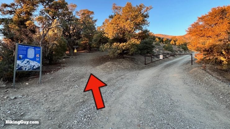
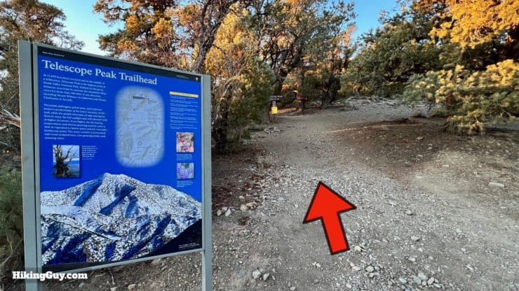
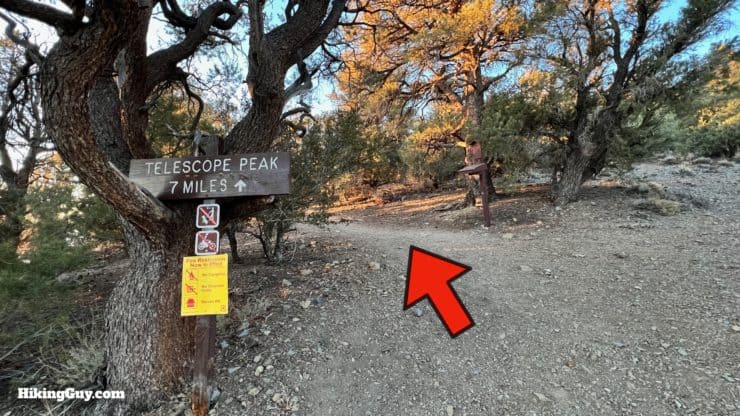
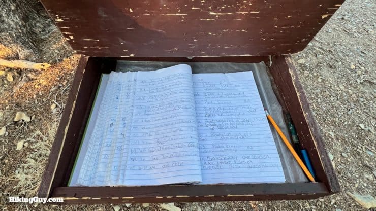
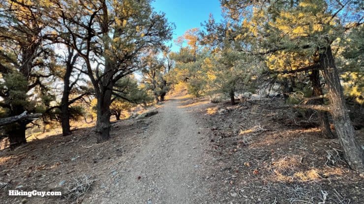
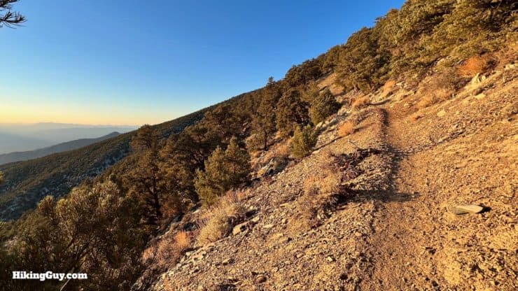
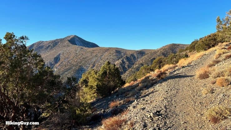
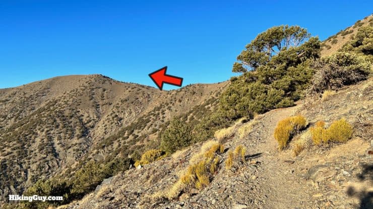
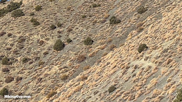
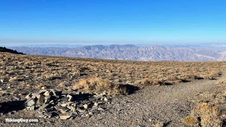
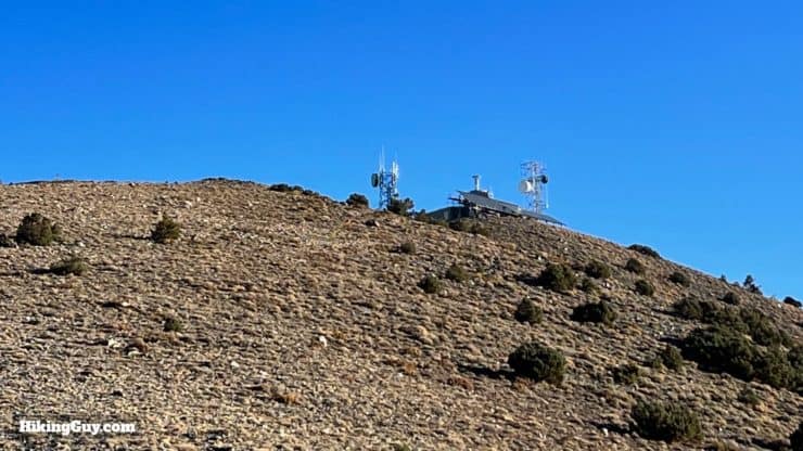
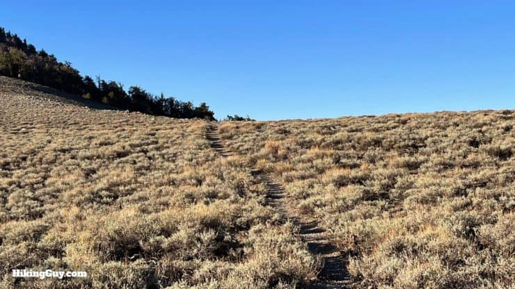
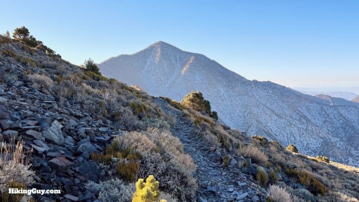
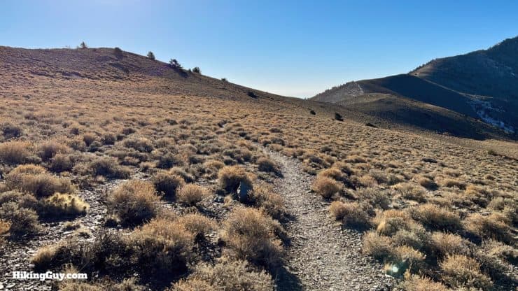
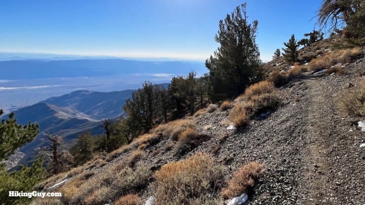
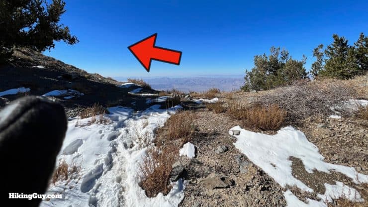
Head down the road, opposite the campground. Don't go down the gated service road to Rogers Peak, but instead look for the trail to the left.Hike past the interpretative display for the trail.And then you'll see a trail sign. As is typical in many National Parks, the distance has been inflated to deter the unprepared.Sign in at the trail register.And now you start a steep but steady climb up through the pinyon pines.And then you'll clear the trees and views into Death Valley NP open up.Shortly after that, you'll round the bend to the right and Telescope Peak will come into view. You'll be able to see the peak for most of the hike.The trail winds around to the west. You'll be able to see the trail in the distance. The peak to the left is Bennett Peak, which we will hike around, not over.There's no switchbacks until the end. You'll see the trail ahead making its way up the side of the slope.After about 2 miles you'll reach the saddle at Arcane Meadows. Views into Panamint Valley, to the west, open up.If you look back from here you'll see Rogers Peak, covered in humming radio towers. The towers have been there since 1959 and are used by governmental agencies. Rogers Peak and the road to it actually lie outside of the Death Valley Wilderness Area, which, like all Wilderness Areas, prohibits human-made structures.Hike across Arcane Meadow. The next 2 miles are nice and flat.
Who were Arcane, Rogers, and Bennett? They were all part of a party that headed west in search of gold and homesteading, back in 1849. Worried about taking the northern route after the tragedy of the Donner Party, they chose instead to take a southern route through the area here. When they reached the Panamint Mountains (where you are now), they assumed they were impassable, and they decided to stayed put. Eventually the party were able to continue on, but not after naming the area "Death Valley," the name which sticks today.
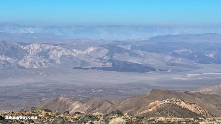
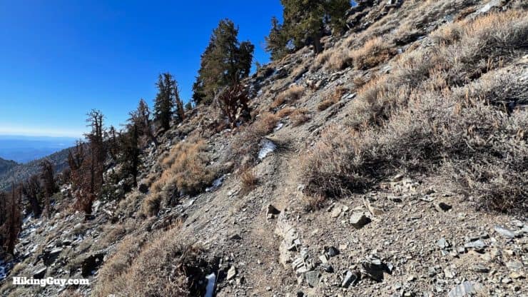
As you skirt around the west side of Bennett Peak, you'll get great views into the Panamint Valley. Don't forget to look backwards for nice views of Mt Whitney and White Mountain.After you clear Bennett Peak, Telescope Peak comes back into view.Now you head along the middle of the ridge of these Panamint Mountain high peaks. In the early summer, this is a great place to spot wildflowers.
No, Panamint is not named after a breath mint. The mountain range was named after a local Native American word in 1861 by the Darwin-French party.
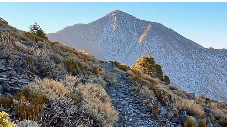
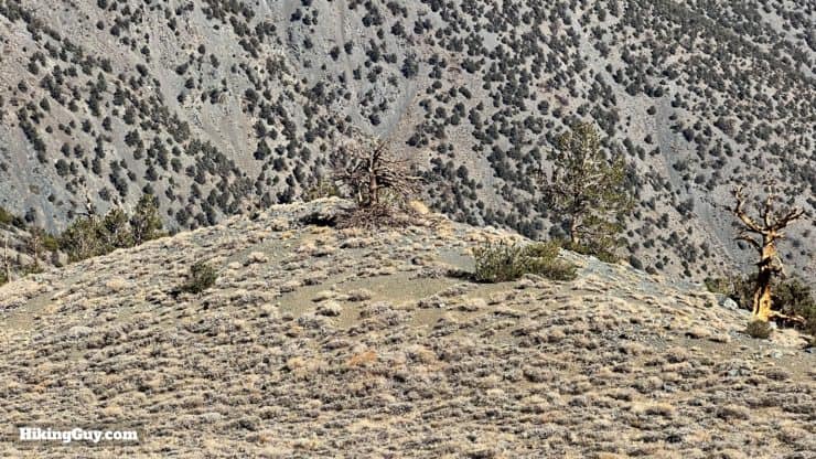
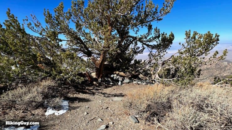
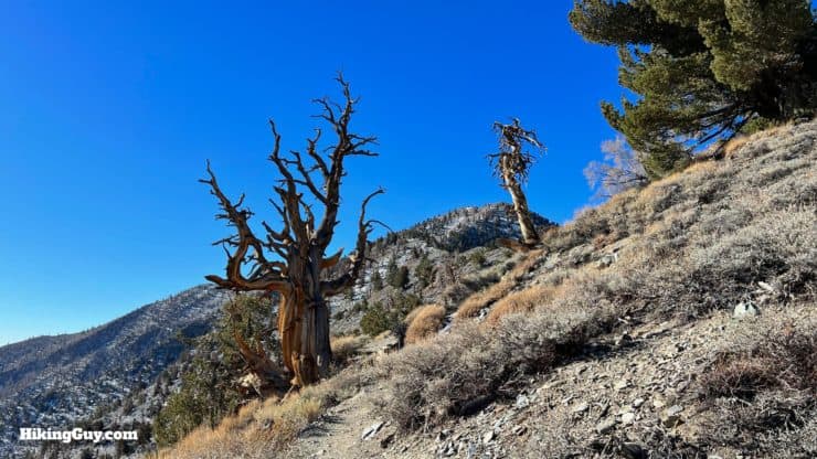
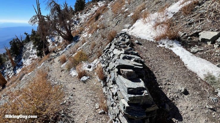
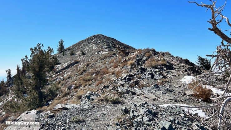
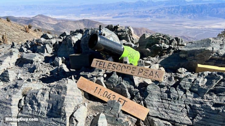
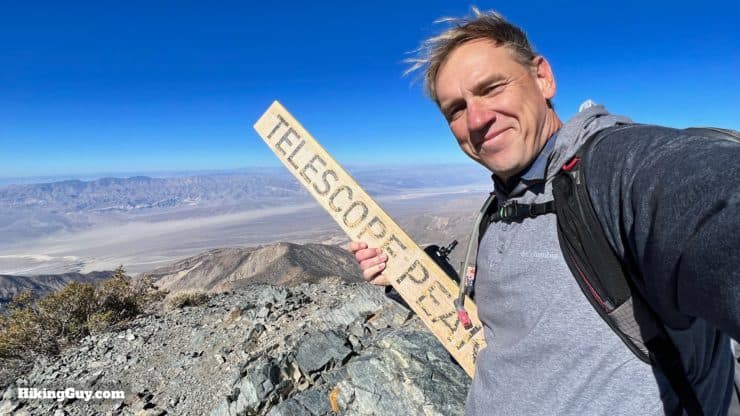
And then you cross back to the east side of the ridge.And then the trail starts to gradually angle uphill, passing by the ancient bristlecone pines, the oldest of which, at over 5,000 years old, is about 100 miles north of here by White Mountain.And with about 2 miles to go, the trail gets steeper.Luckily the last stretch also has about a dozen switchbacks to ease the gradient.When you get to the saddle and false peak, make the left.And follow the narrow (but safe) ridge to the summit.Here you are at Telescope Peak, the highest point in Death Valley at 11,049 feet.
Telescope Peak is named that because from the summit, it's as if you're looking through a telescope.
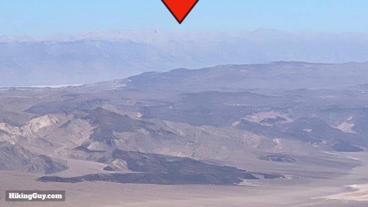
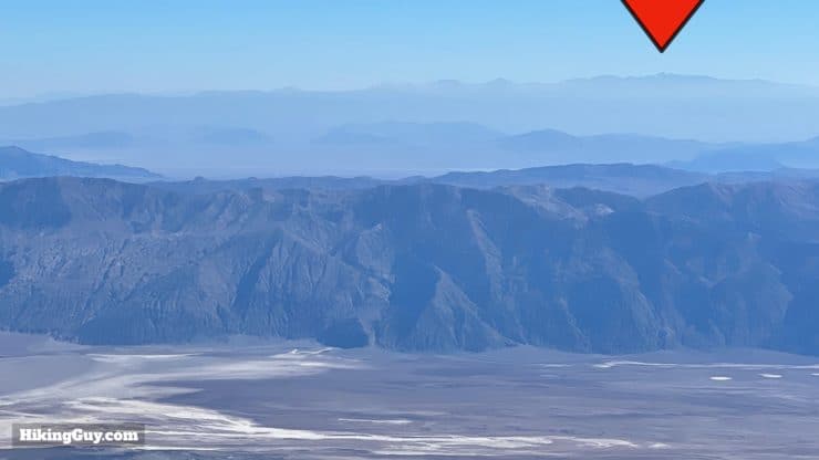
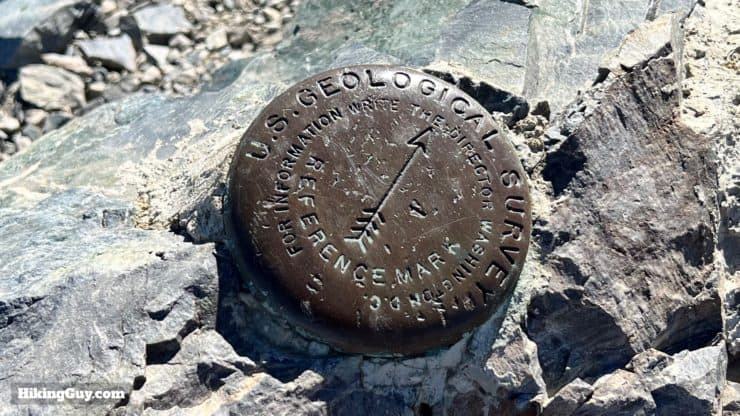
To the west you can see Mt Whitney (in a forest fire haze here).And to the east, Charleston Peak in Nevada, just outside of Las Vegas. Below lies Badwater Basin, the lowest point in the USA at -282 feet.There's a USGS marker here from 1950, when the peak was used as a benchmark.From here, enjoy, and then go back the way you came. It's as easy as that!
Need More Info?
Have a question about the guide or want to see what other people are saying/asking? View the Youtube comments for this video. Leave a comment and I will do my best to respond.
When planning, always check the park website and social media to make sure the trails are open. Similarly, check the weather and road conditions.


 Using the Apple Watch for Hiking
 Garmin Fenix 7 & Epix Review For Hikers
 How To Read a Topographic Map
 Garmin GPSMAP 67i Review
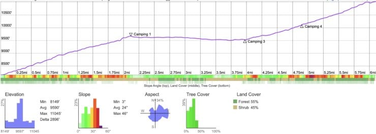
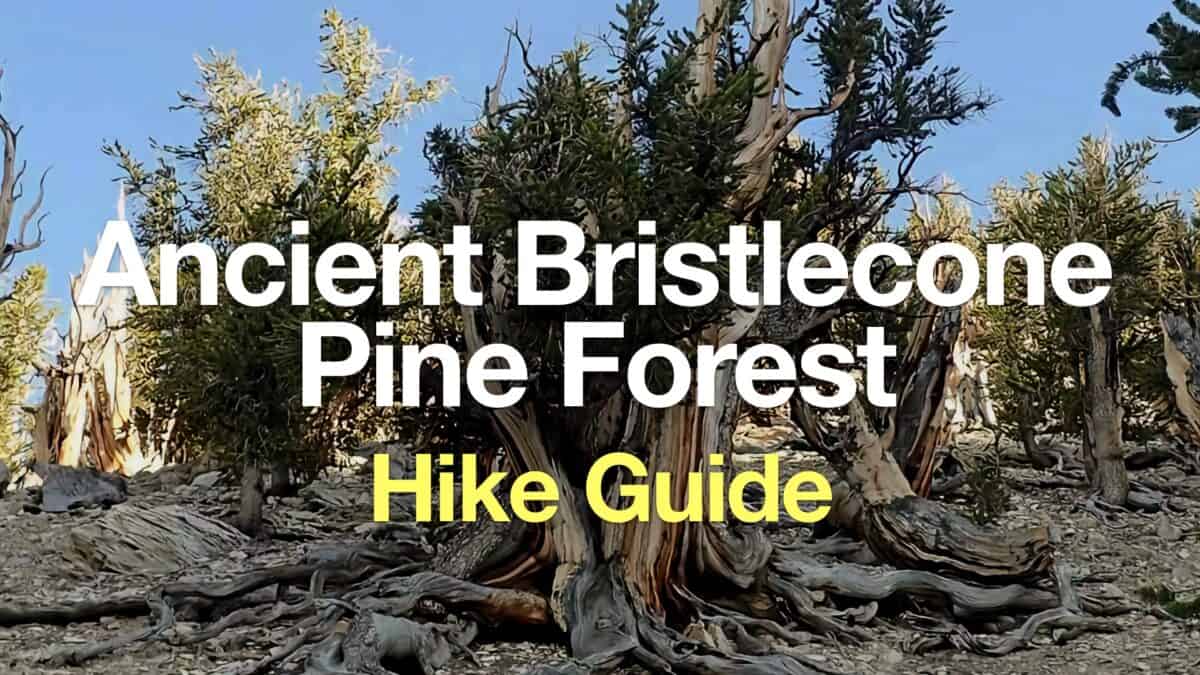 Ancient Bristlecone Pine Forest Hike
 Mt Whitney Hike
 Mt Charleston Peak Hike - South Loop Trail
 Red Mountain Hike (Mojave Desert)
 Golden Canyon and Gower Gulch Loop Hike
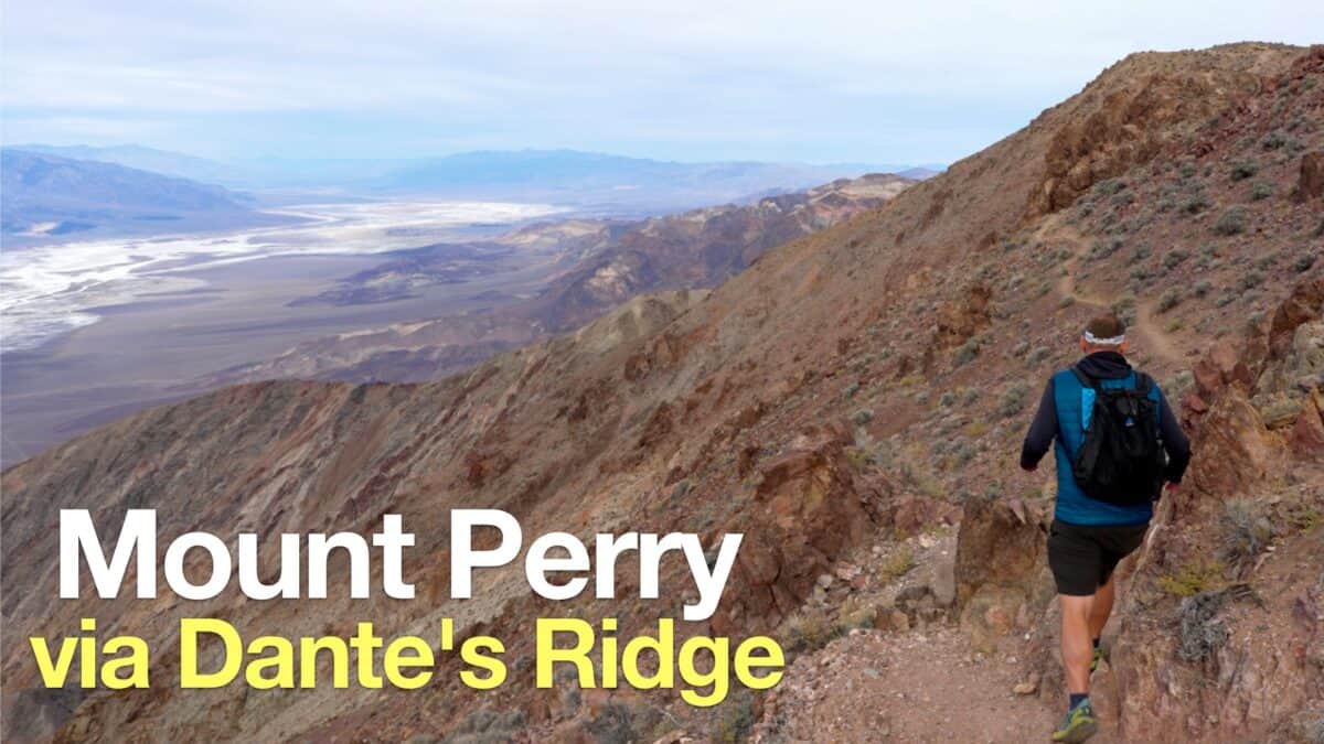 Hike Mount Perry from Dante's Ridge
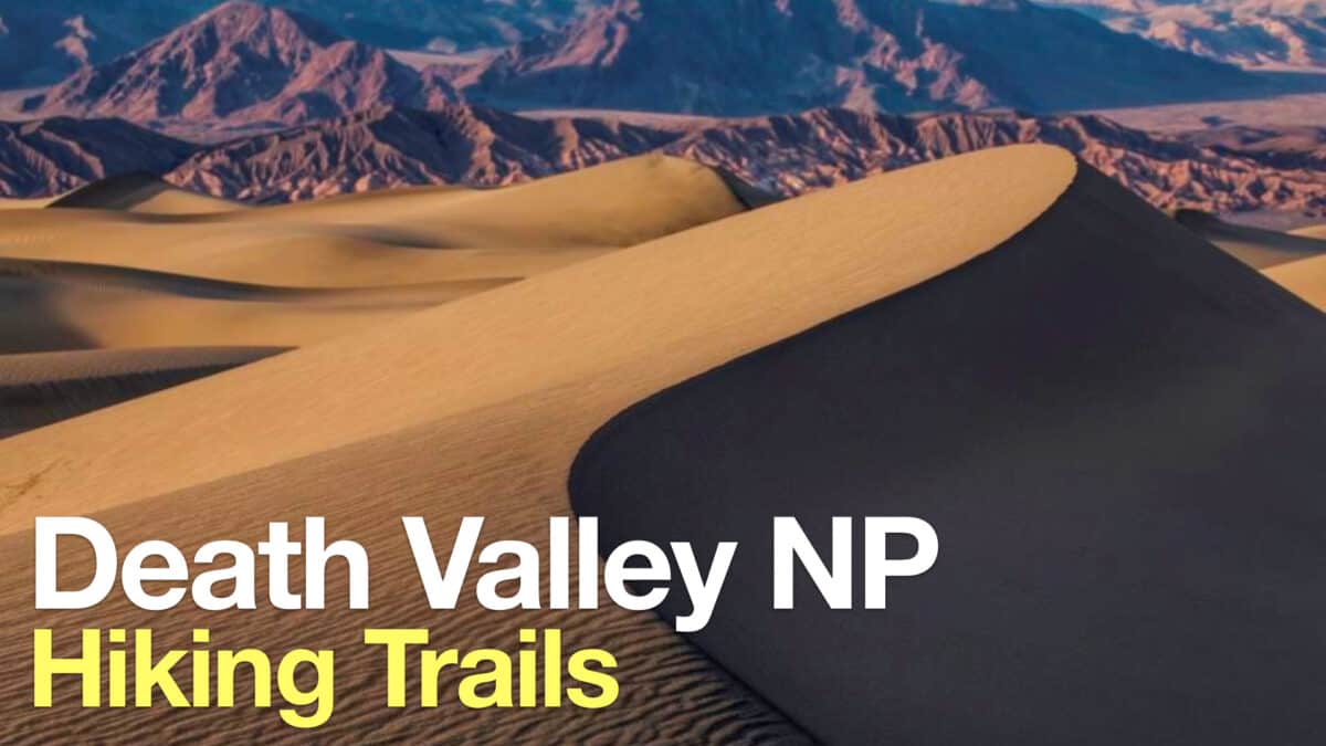 Death Valley Hikes
 Backpacking Trips
 Best Hikes in the World
 LA Mountain Hikes
 Best Hiking Gear 2024
 Hiking Boots or Shoes: Do I Really Need Hiking Boots?
 When to Hit SOS on inReach