Hike Keller Peak on the Exploration Trail
Hike Stats
- Total Distance
- 12.5 miles
- Time
- 4-6 Hours
- Total Climbing
- 2200 feet
- Difficulty
- Moderate
- Crowds
- Quiet
- Dogs
- Leashed
- Gear
- What I Use
- Weather
- Latest Report
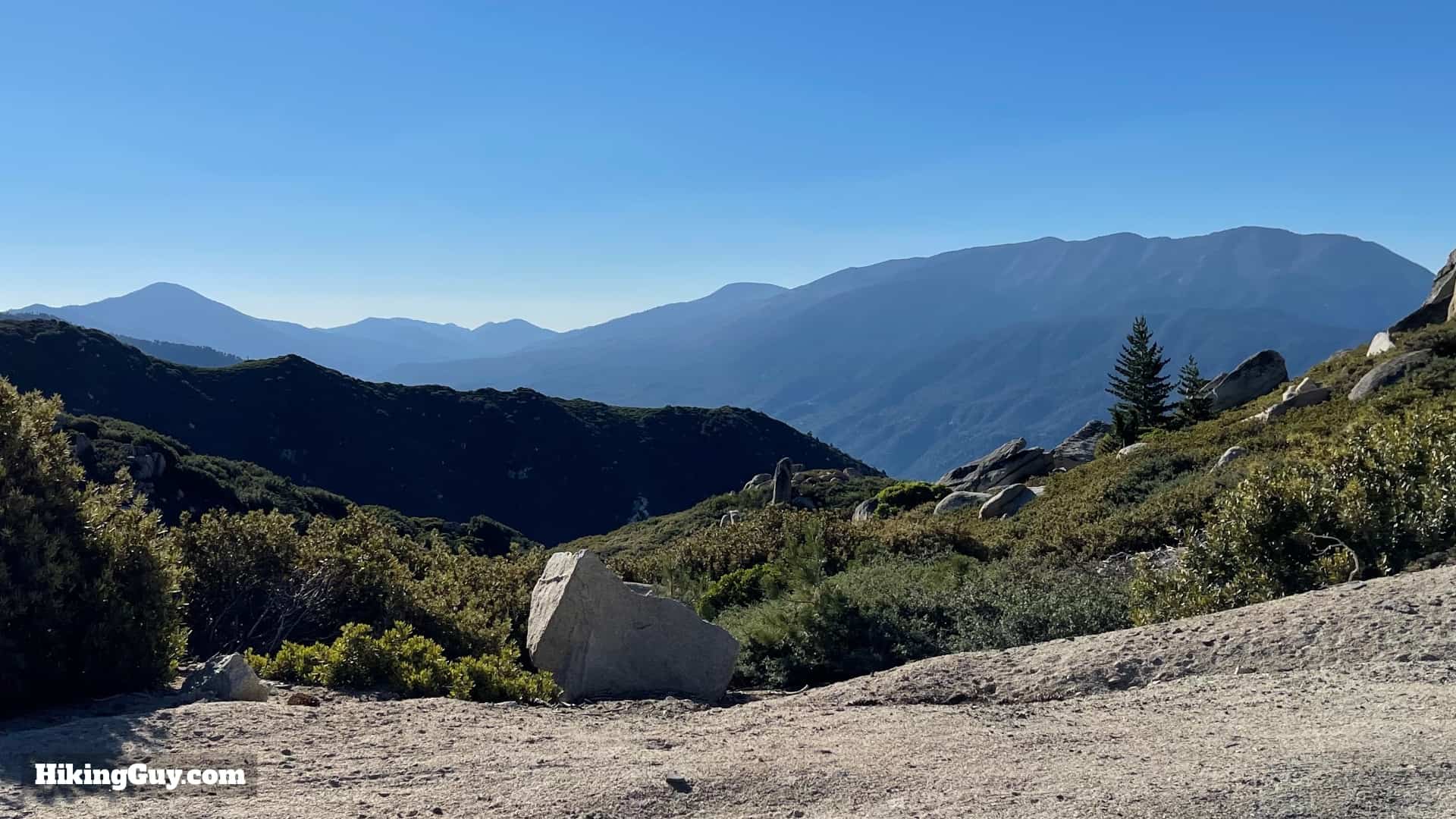
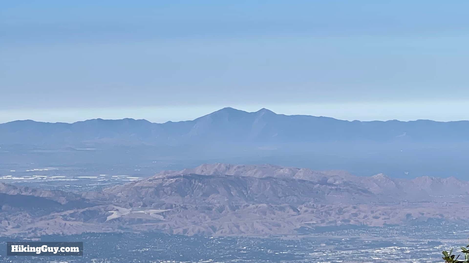
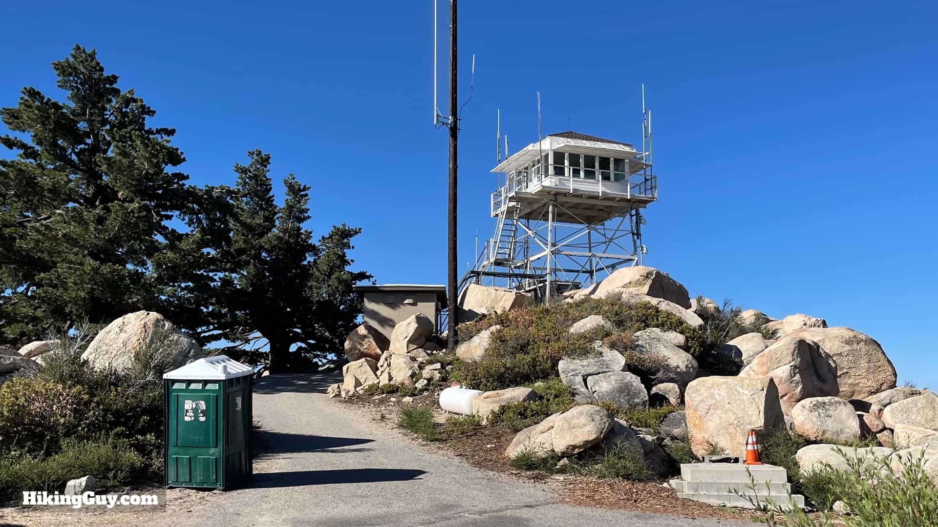
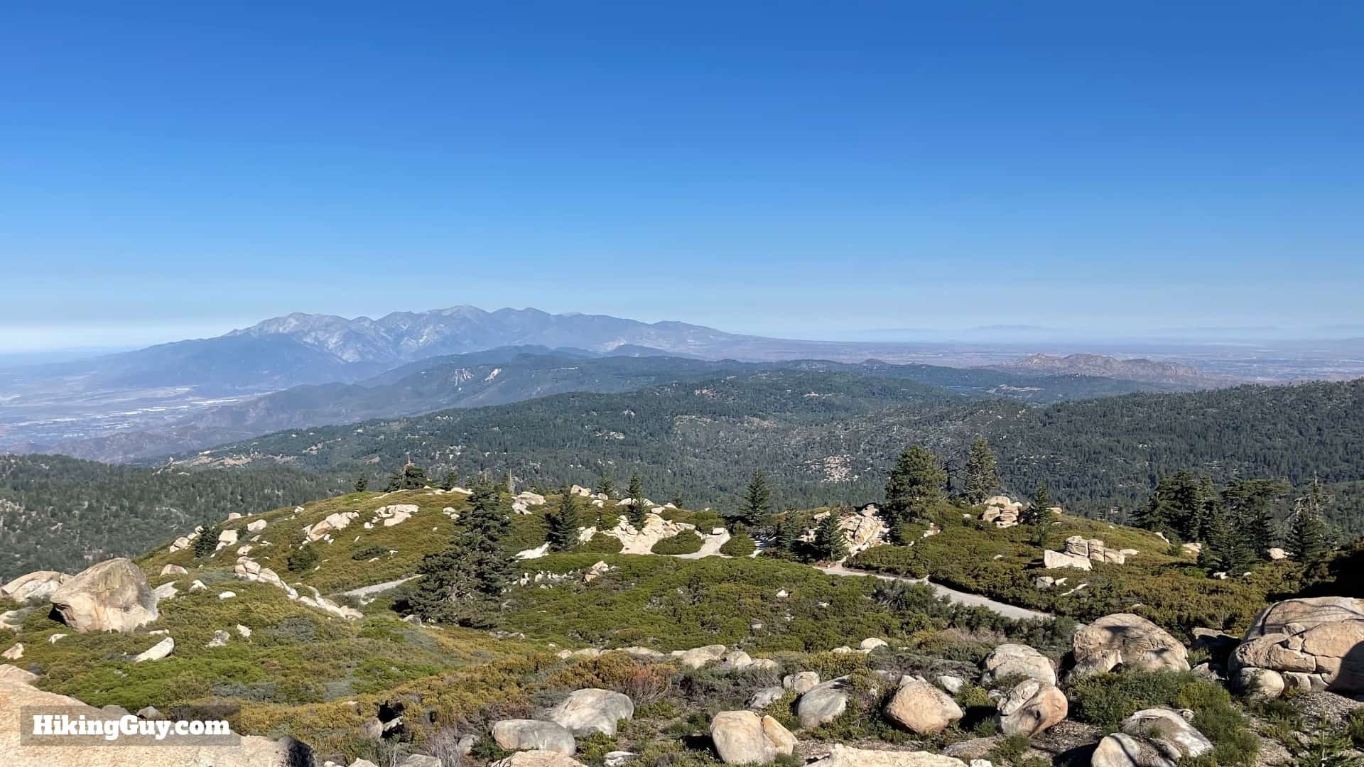
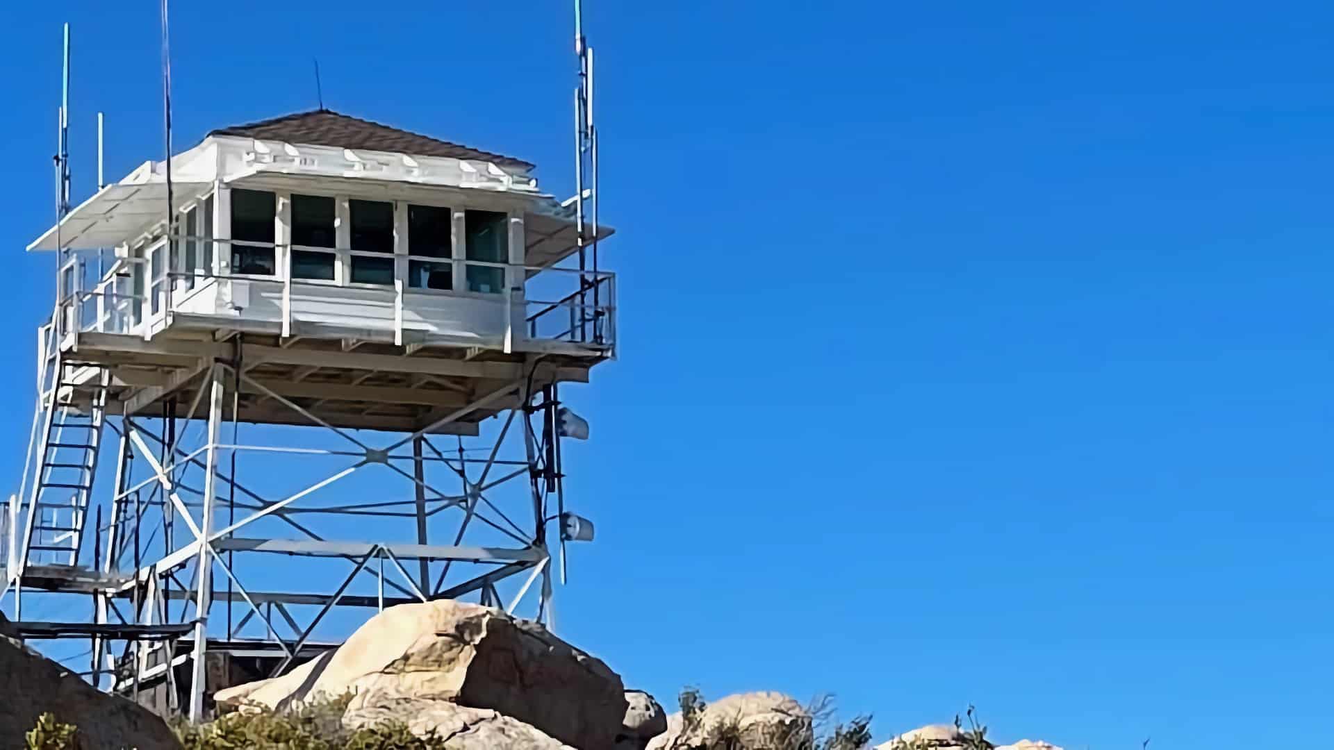
Off the radar of most hikers, the Exploration Trail to Keller Peak is a scenic adventure that's not too hard but also packs in some great trail highlights. The entire area you hike through was devastated by the 1970 Bear Fire; today, as you hike, you can experience what a half-century of recovery looks like (it's good). Along the way, you'll get some epic views of the Angeles National Forest and the surrounding high peaks. At Keller Peak, you can experience the oldest standing fire tower in Southern California, dating back to 1926.
Where is the Exploration Trail?
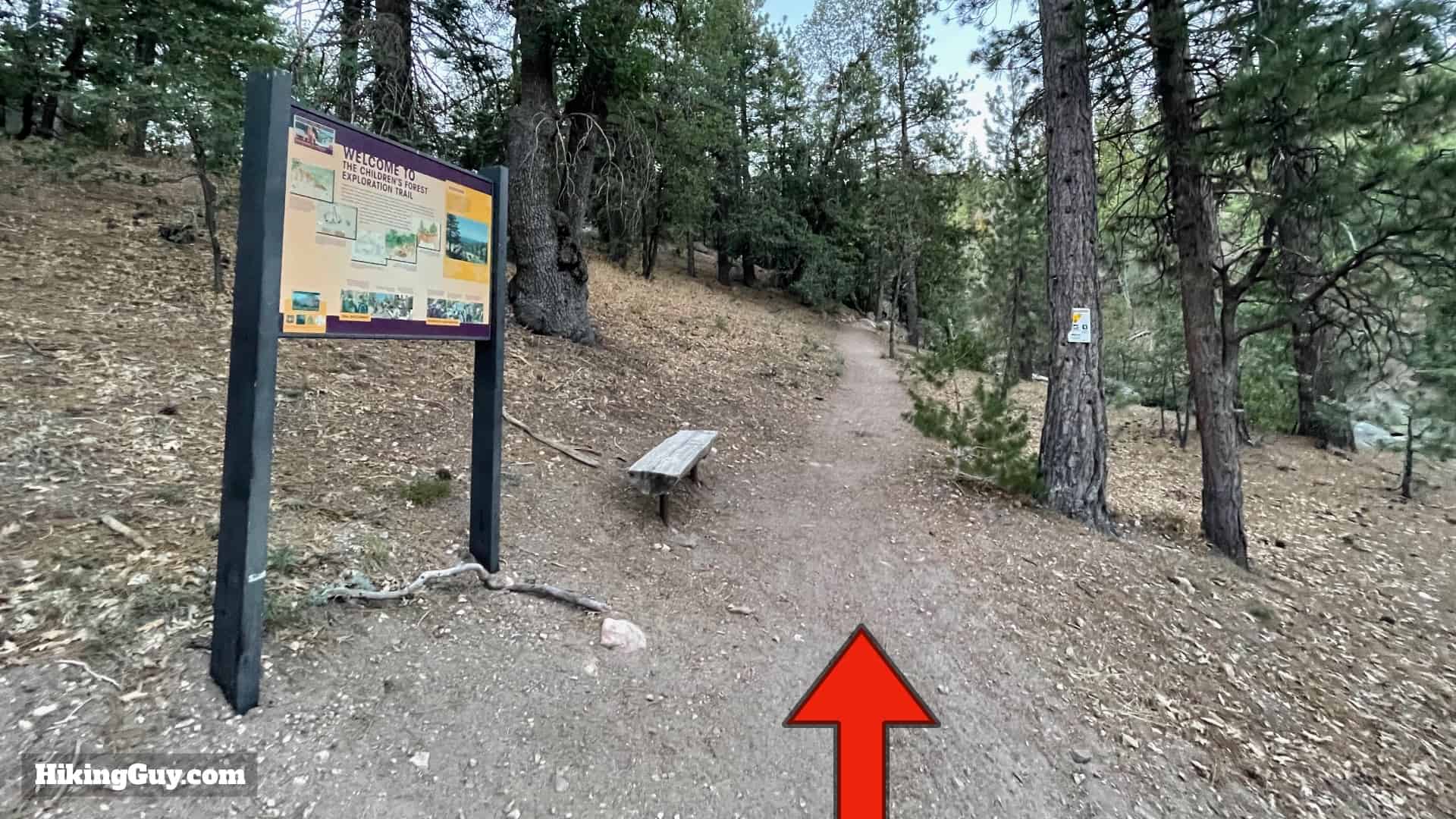
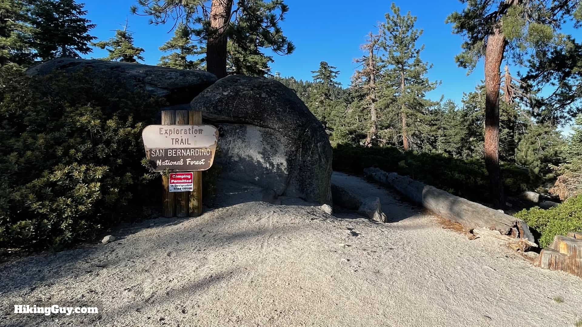
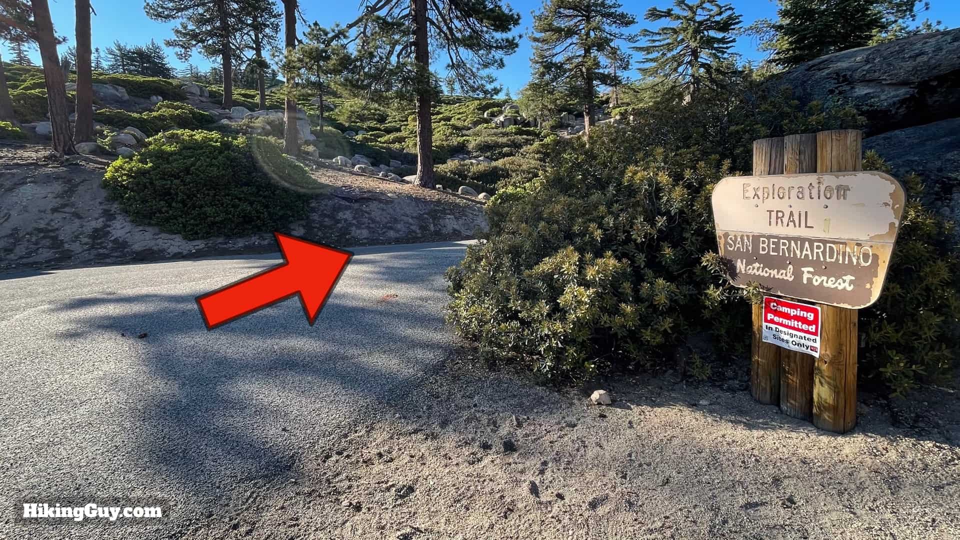
The Exploration Trail is point-to-point and has two trailheads. We're going to start this hike at the lower trailhead and then hike uphill to Keller Peak. You can find the quiet trailhead just off of busy Rt-18, past the Deer Lick Fire Station at:
Exploration Trail 2W09X, Keller Peak Rd, Big Bear, CA 92314
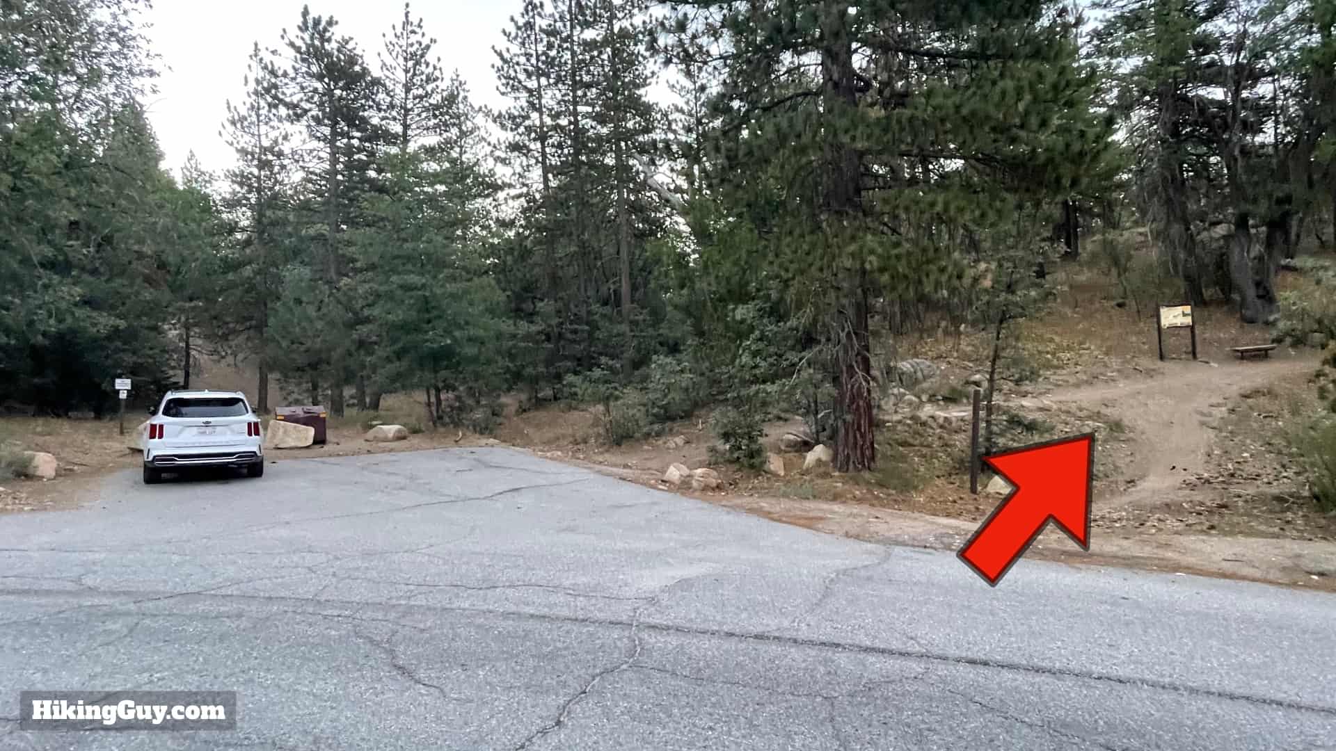
There are no bathrooms or water fills at the trailhead.
Gear For the Hike
While this isn't an extreme mountain hike, you are still in the high country and I recommend regular hiking gear.
- I usually take about 2L of water in normal conditions.
- Bring extra layers in case the weather changes.
- The trail has a good amount of shade.
- The last 1.5 miles is on pavement, so having trail runners or non-clunky hiking footwear is a good bet.
- In the winter the trail can be covered in snow and offers a great opportunity for snow-shoeing.
Essentials I’m Using Now
- Garmin inReach Mini 2: Reliable SOS Everywhere on Earth
- Sawyer + CNOC Water Filter: Easy & Reliable Safe Water
- Nitecore NU25 Headlamp: Running late? Get home safe
- Altra Olympus 275: Favorite trail shoes right now, no blisters and very comfy.
- AllTrails Plus (30% off): Offline maps on your phone with the Plus level
- Full December 2025 Gear List →
Trail Maps
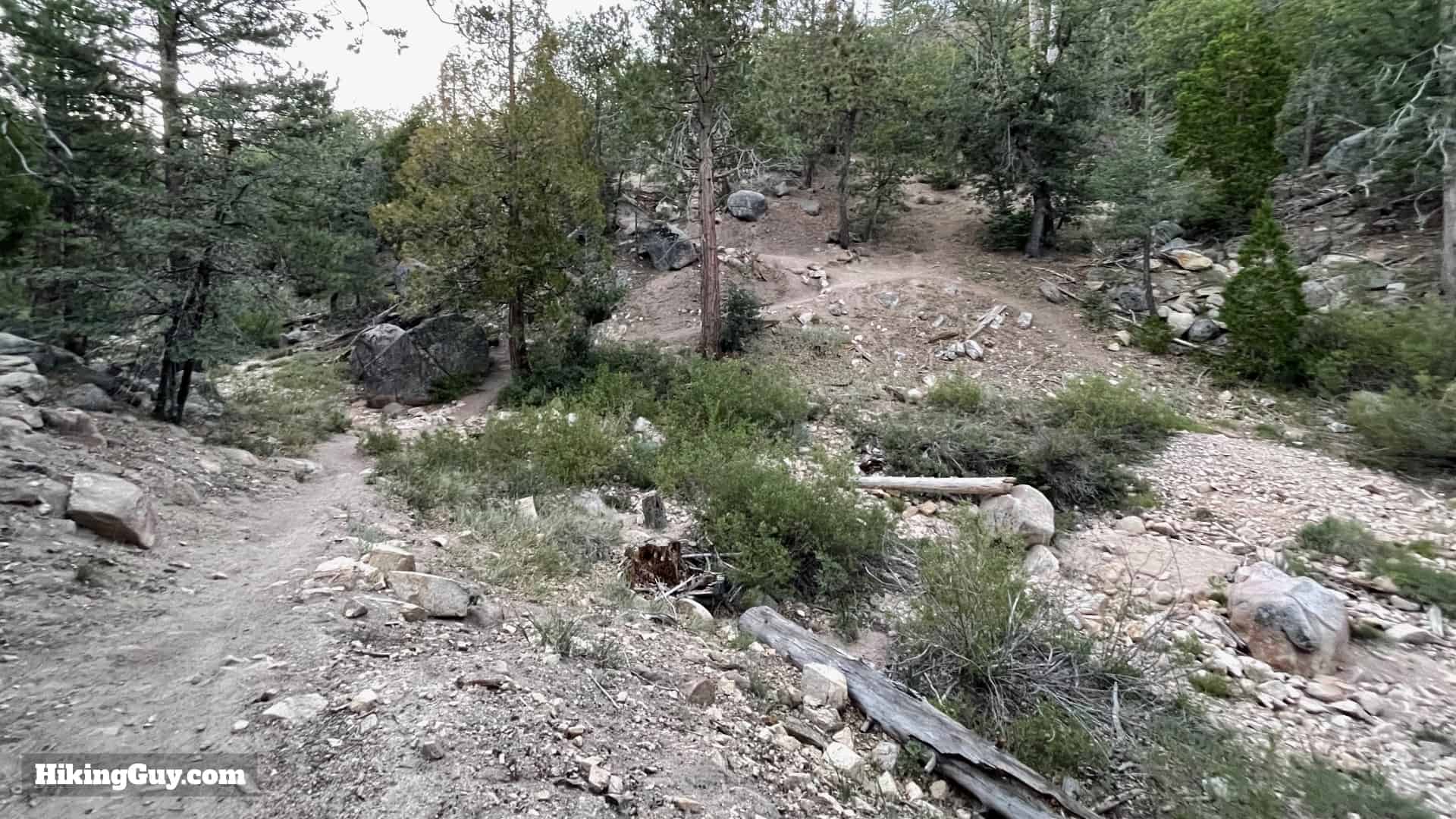
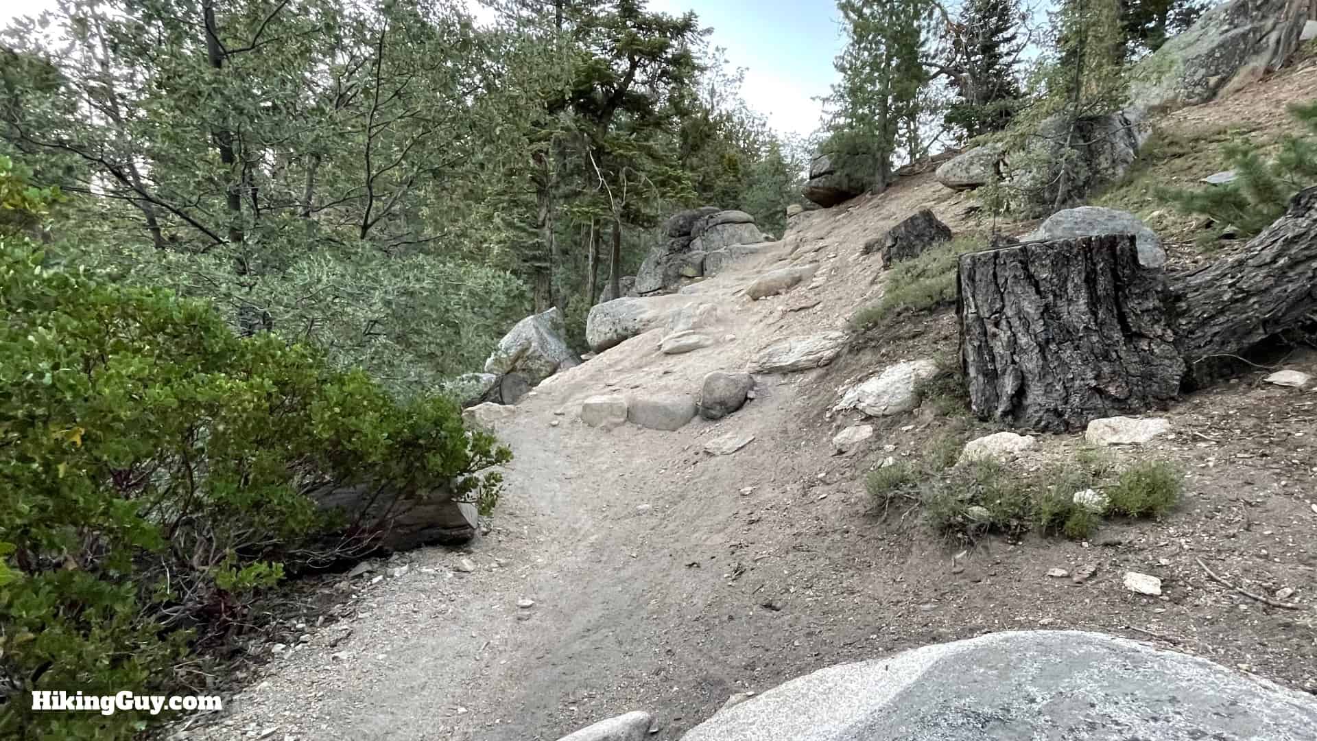
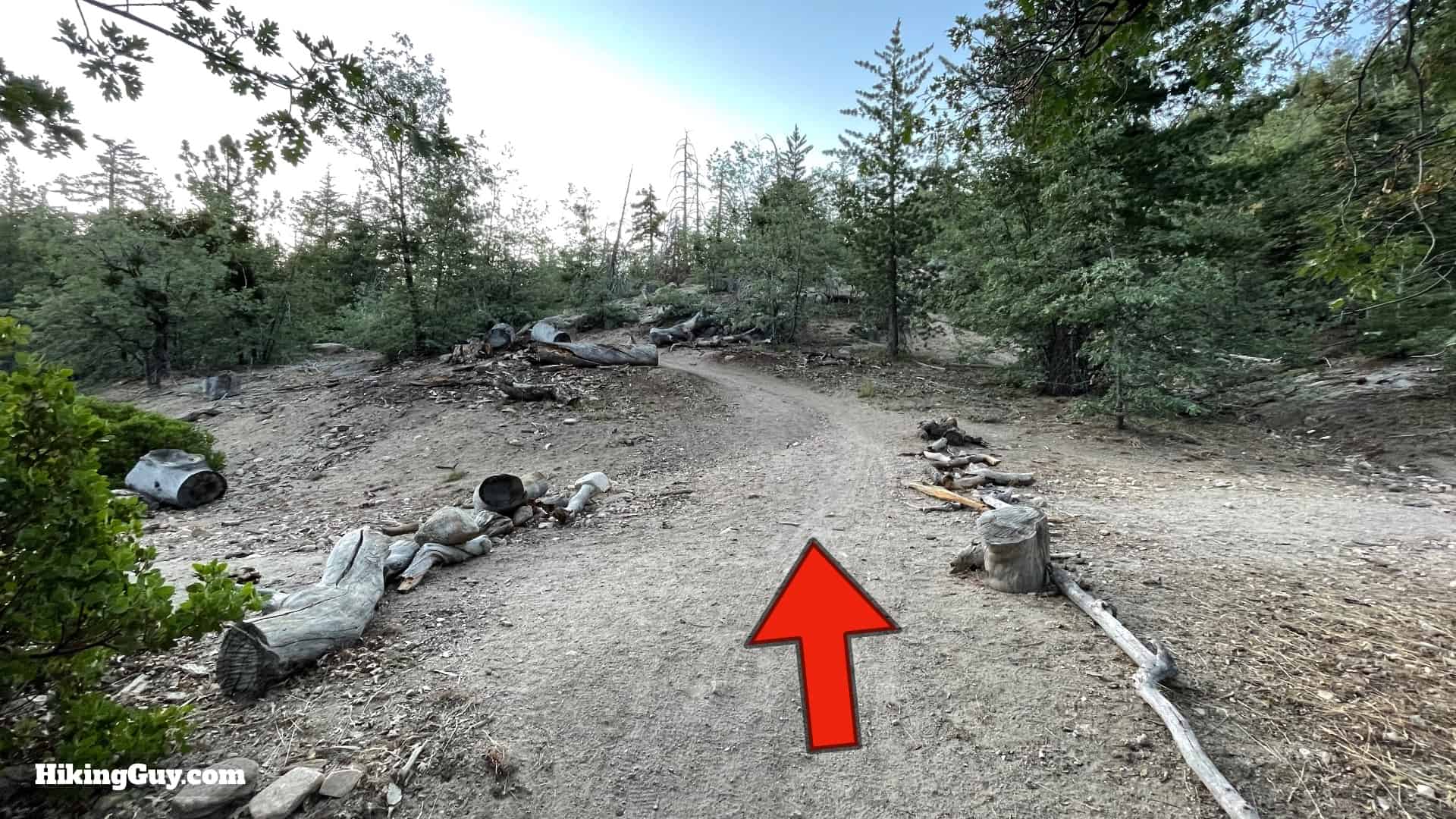
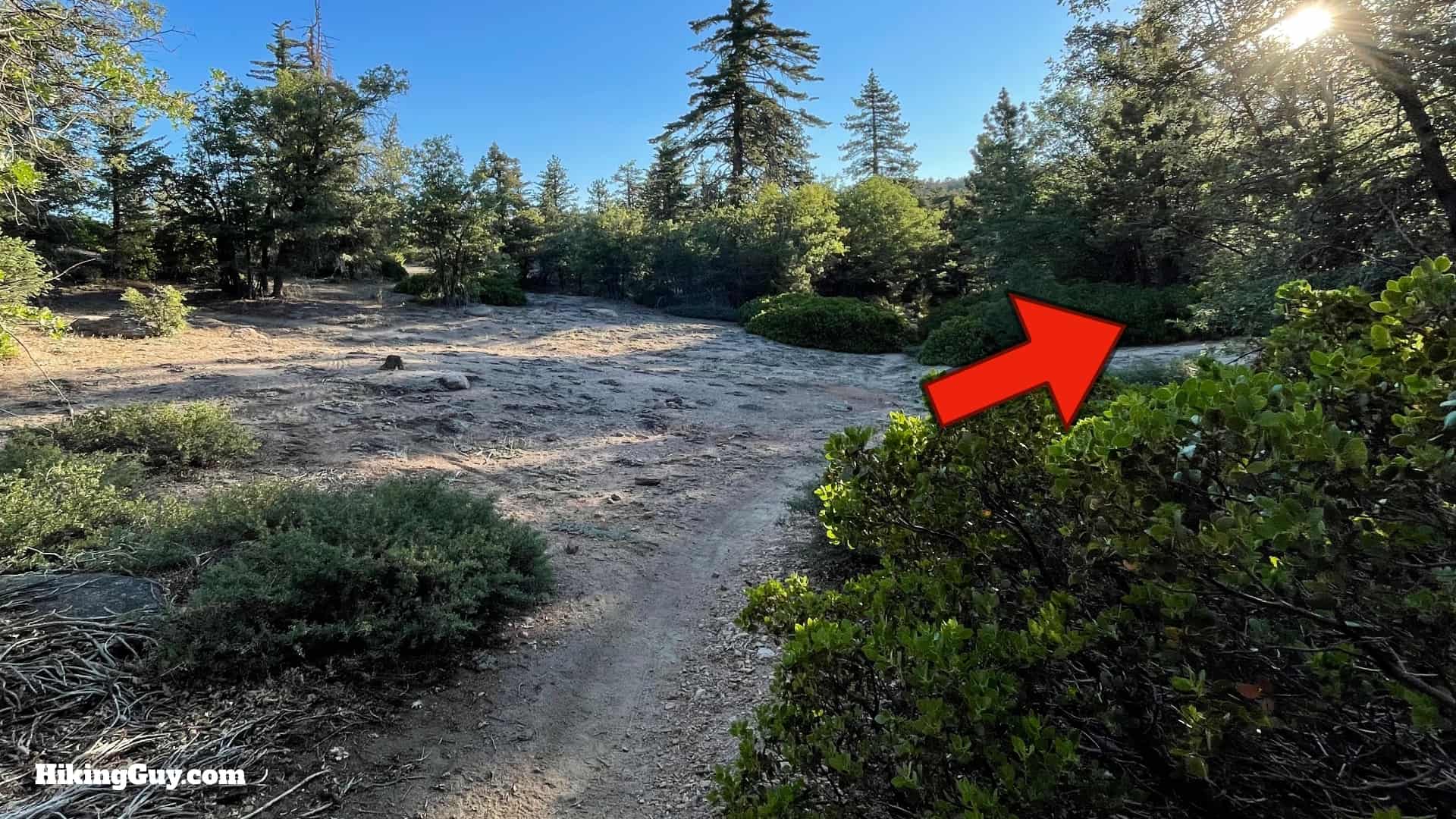
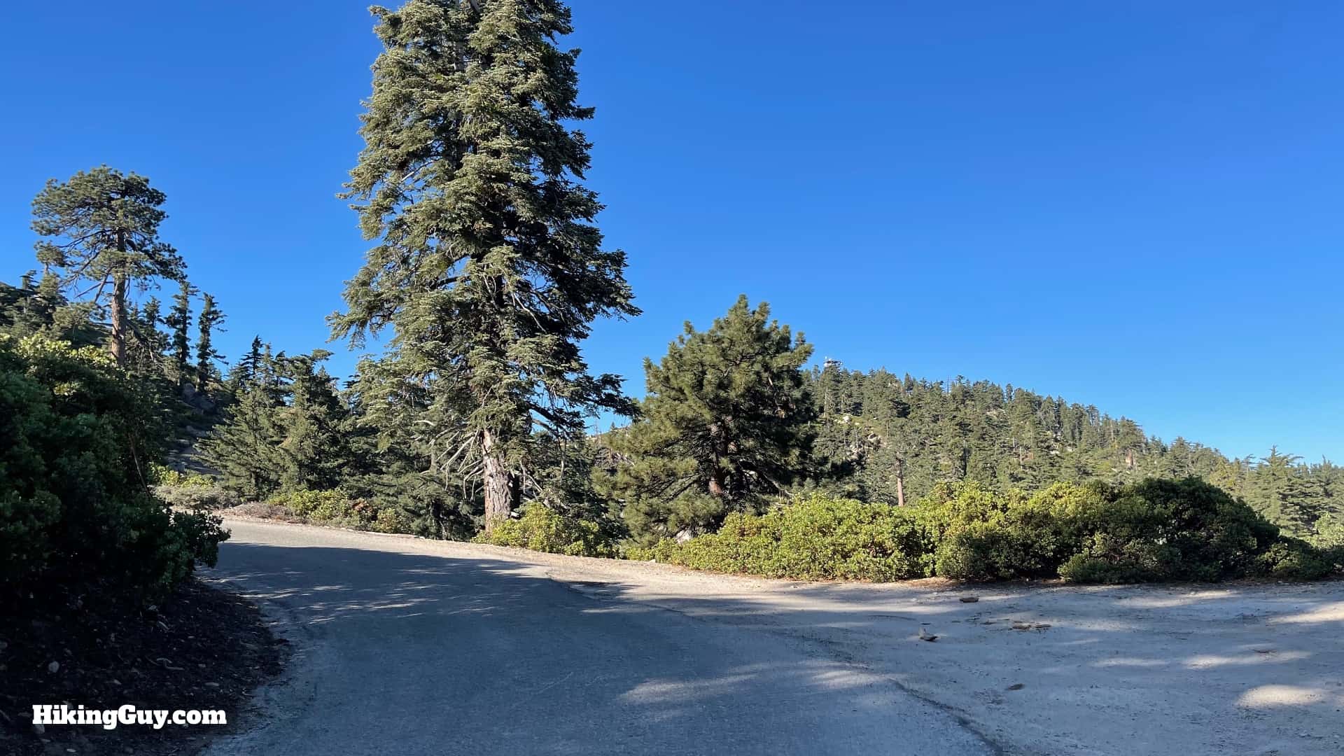
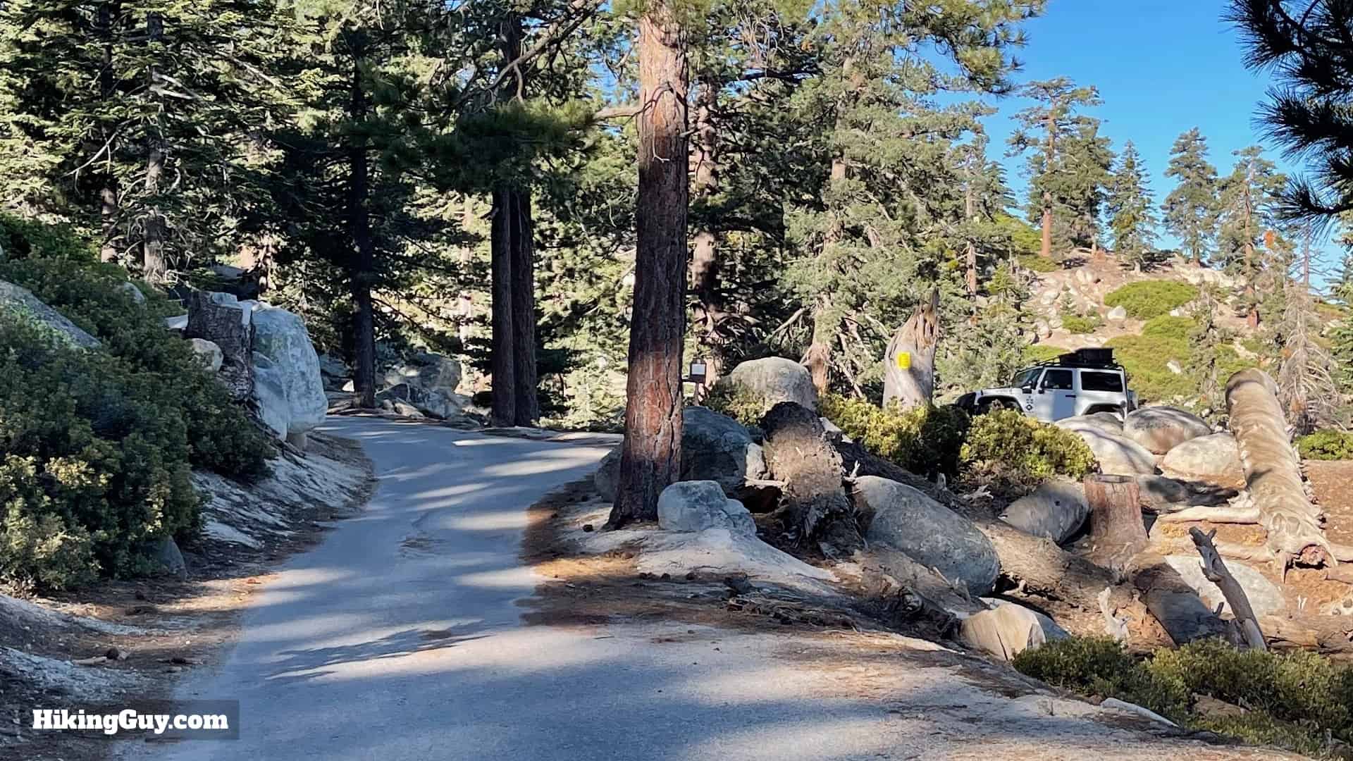
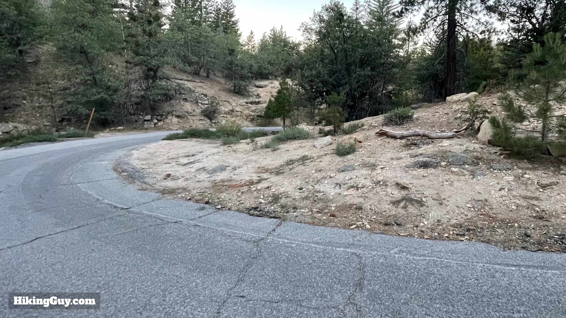
The section of the hike on the Exploration Trail is a gradual uphill dirt trail. Keep your eyes and ears open for mountain bikes that share the trail. You'll have a short but very scenic walk up paved Keller Peak Rd to reach the summit and fire tower when the Exploration Trail ends.
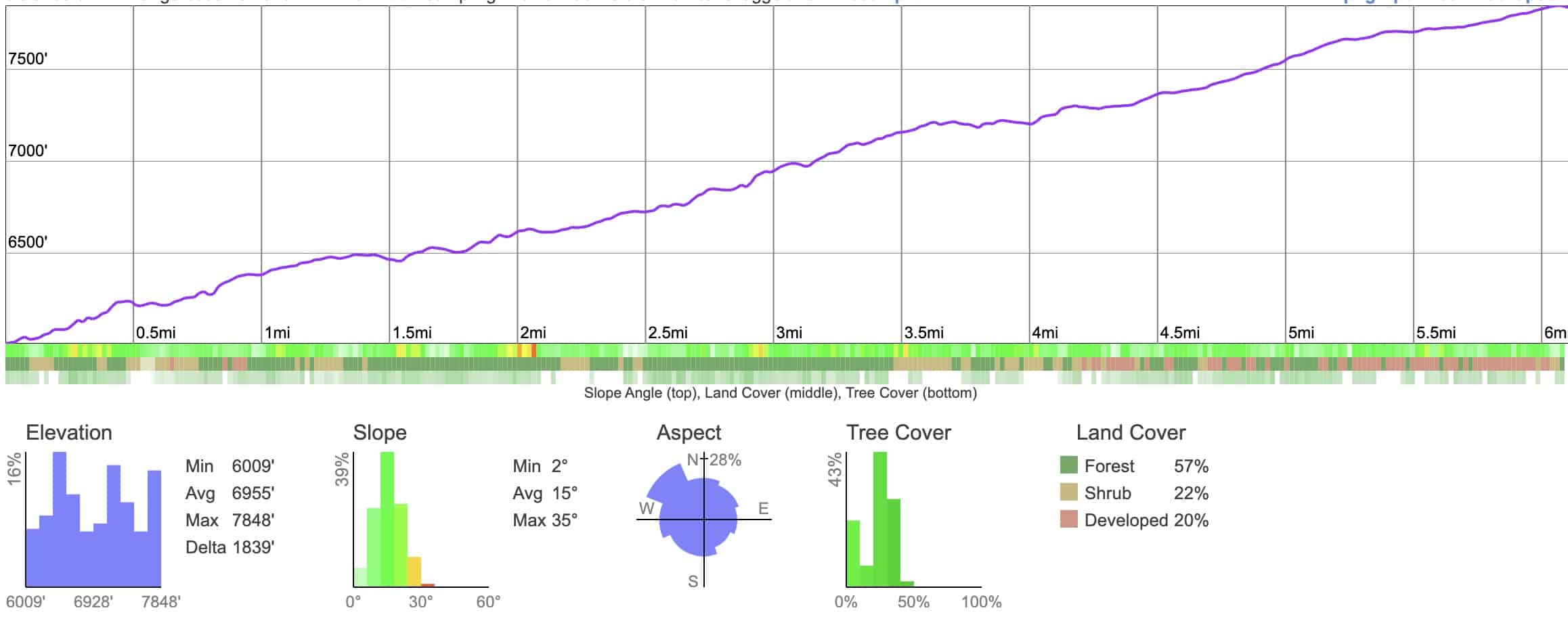
Elevation Profile
3D Map

Hike Brief
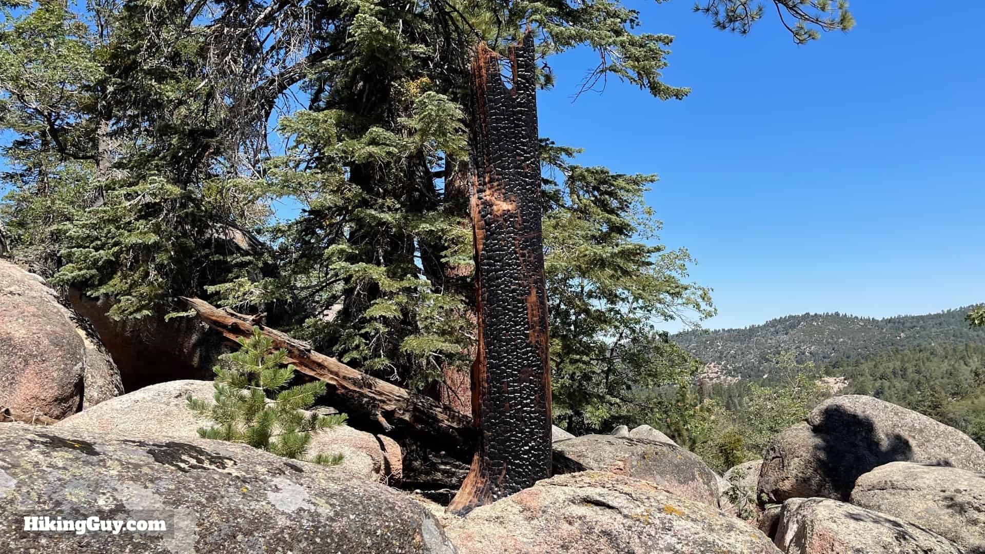
- It's impressive how healthy this area is after half a century of recovery from the 1970 Bear Fire, which burned 51,000 acres, including this hike route. Hopefully if you're still hiking in 50 years, the areas damaged by recent fires will be as healthy as this. Everything you see on the Exploration Trail has grown back in the half-century since then, and is called "second-growth forest."
- The Exploration Trail was built in 2000, and included input from the nearby National Children's Forest Youth Leaders. Today they still help maintain the trail. There are several Children's Forests located in the USA, created to help kids and families connect with the outdoors.
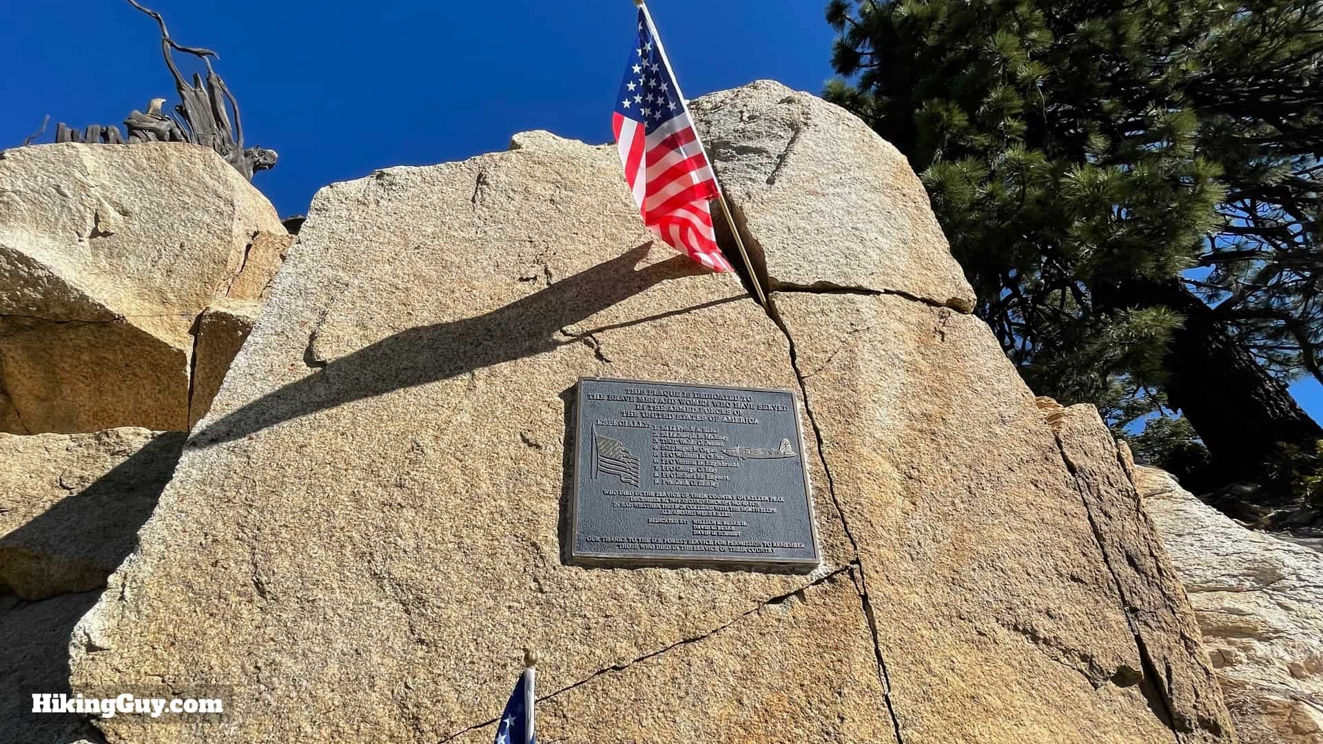
- As you approach the summit of Keller Peak, you'll see a memorial to a B-26 bomber crew that lost their lives here in 1941 when their plane slammed into the mountainside. Originally from a squadron in Virginia, the bomber had been rushed out west in the weeks after Pearl Harbor. The plane flew from Edwards AFB to March Field in Riverside when it crashed trying to navigate the Cajon Pass in bad weather. The rest of the squadron went on to fight in the battle of Midway.
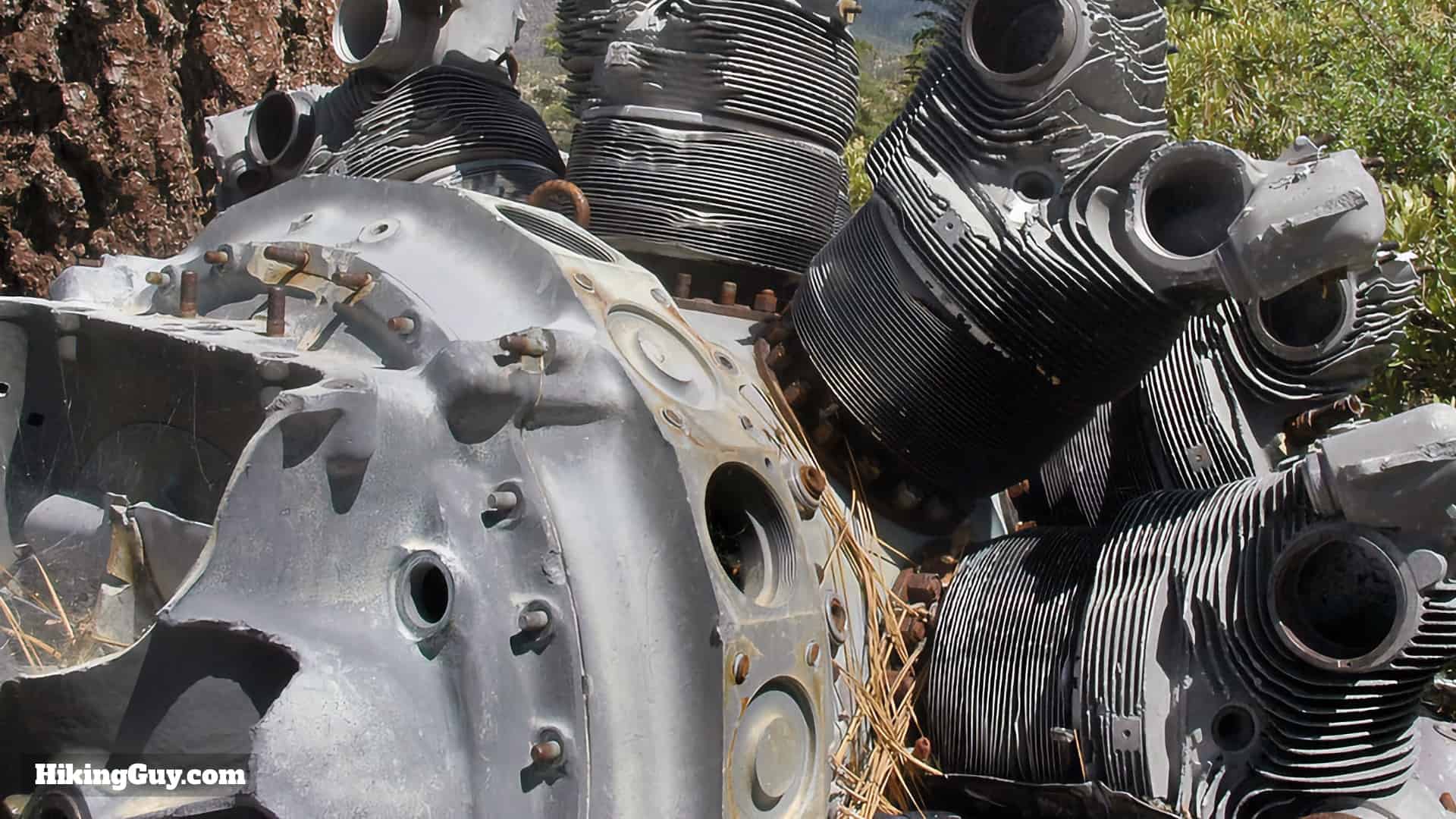
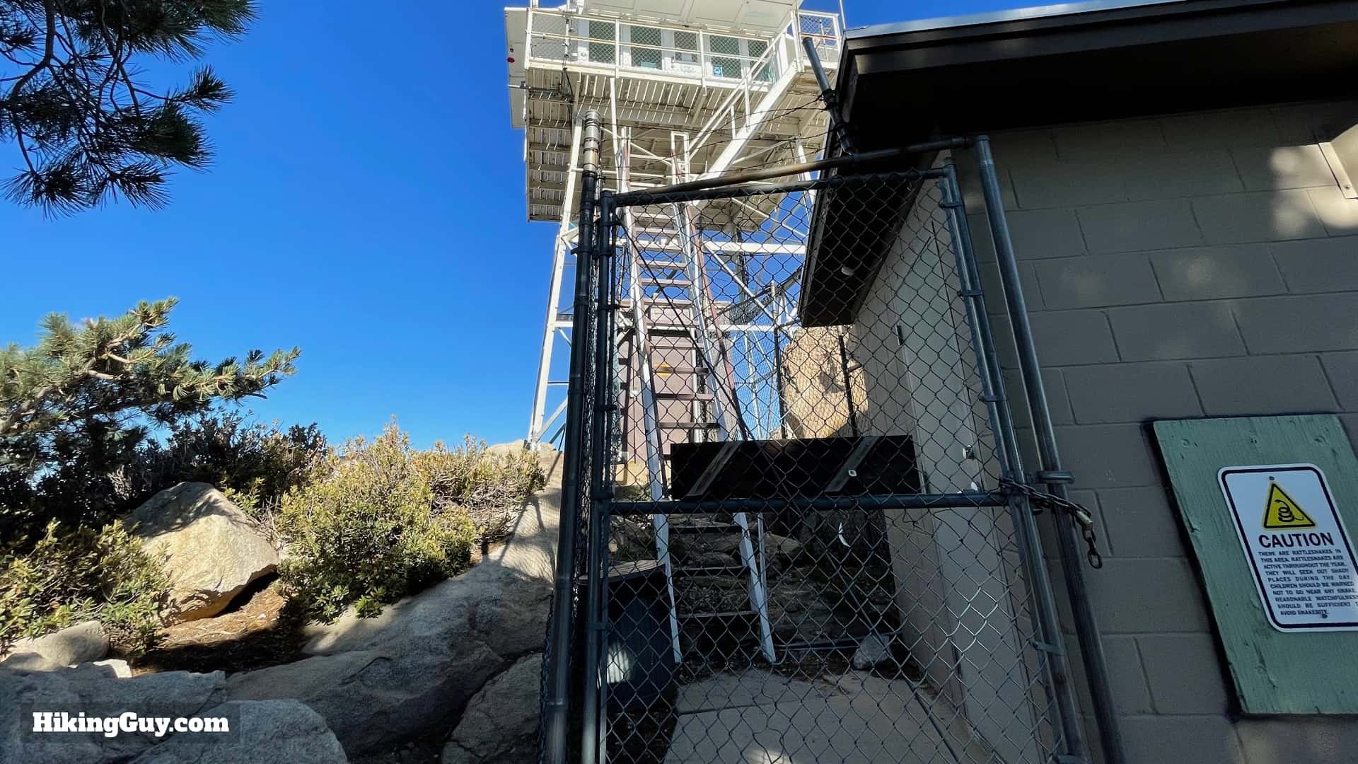
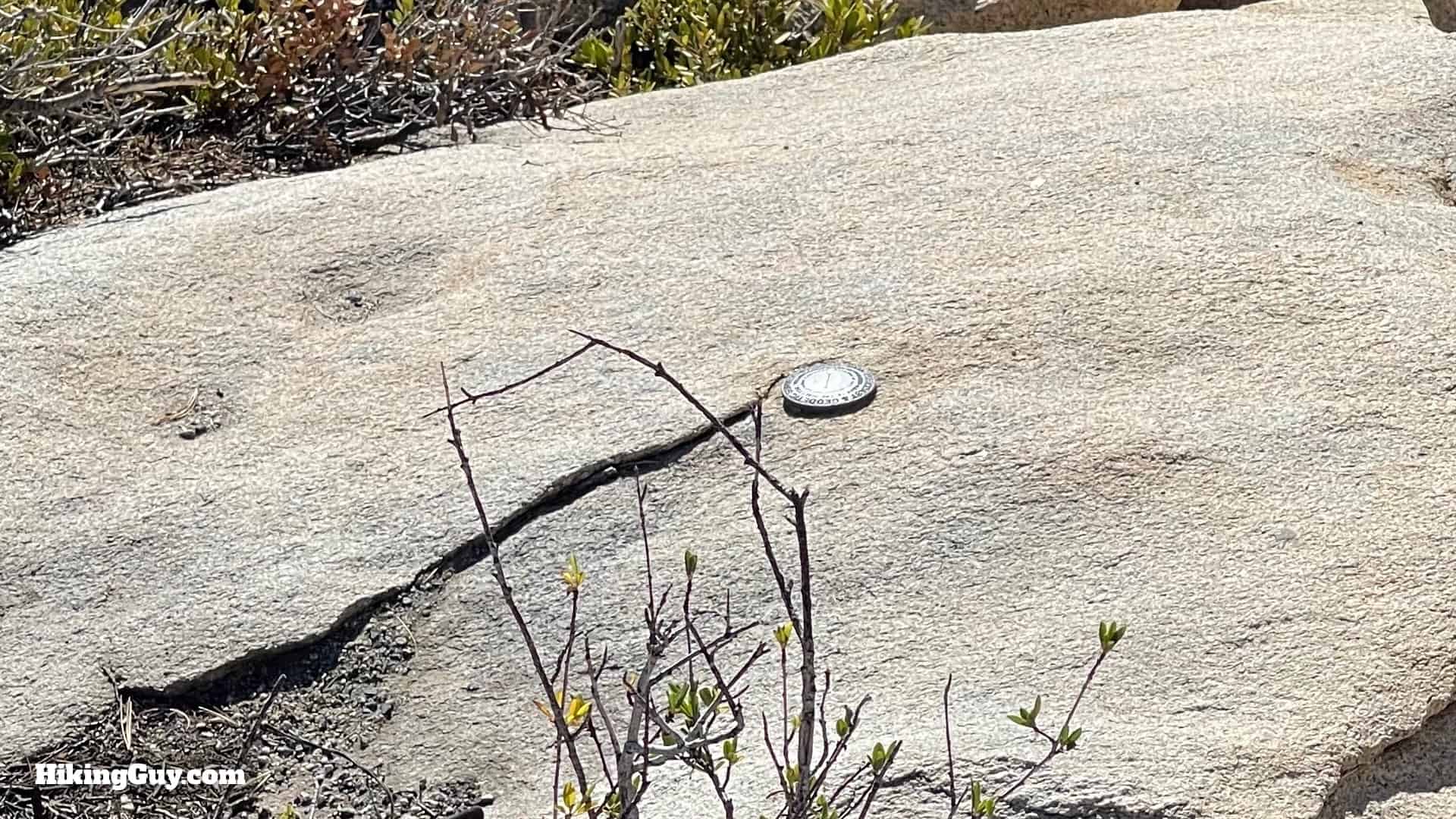
There's still wreckage scattered around the peak, including two Pratt & Whitney R-2800 engines. It's a tough slog through the brush to see them, and not really worth it, so enjoy this photo and focus on the other great parts of the hike. - The Keller Peak Fire Tower, built in 1926, is the oldest standing fire tower in Southern California. It's still used today by fire watch volunteers, and is sometimes open to the public. It's also one of the only fire towers built before the Great Depression.
[caltopo link="https://mpembed.com/show/?m=821uR1YBPia&play=1&qs=1&kb=0&lp=1&hl=0&mf=0&title=1&tourcta=1&vrcoll=0&dh=1&mt=1&details=2&hdir=3&mdir=1&copyright=ReOrbitVR&minimap=1&hotspots=2&ga=UA-90325864-1&mt=1"] - Keller Peak is named for Ally Carlin Keller, the son of early pioneers and an employee of the Forest Service.
Exploration Trail to Keller Peak Hike Directions